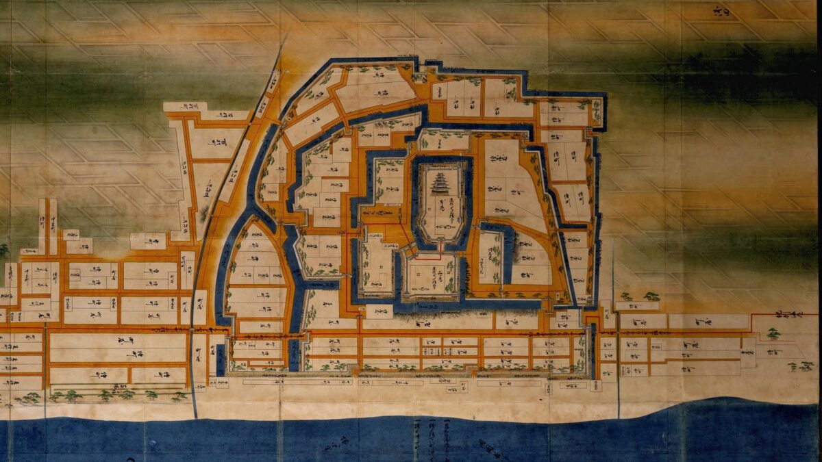
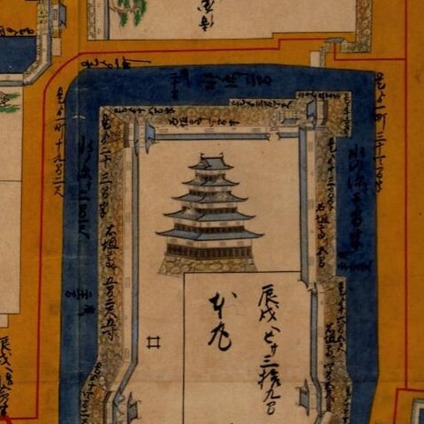
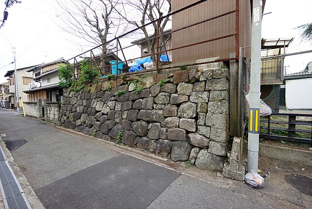
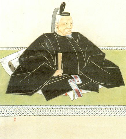
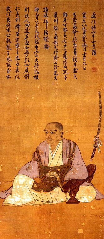
岸和田城と城下町の模型(南側から見た構図、赤丸内が大手門(北大手門))、岸和田城天守閣にて展示絵図面に描かれた岸和田城天守(出展:国立公文書館)現存する城下町の石垣(「浜石垣」と呼ばれます) (licensed by Hironoyama via Wikimedia Commons)松平康重肖像画 (licensed under Public Domain via Wikimedia Commons)
People can climb Saiki Castle Ruins on the mountain any day, because the ruins are near the city area.
Features
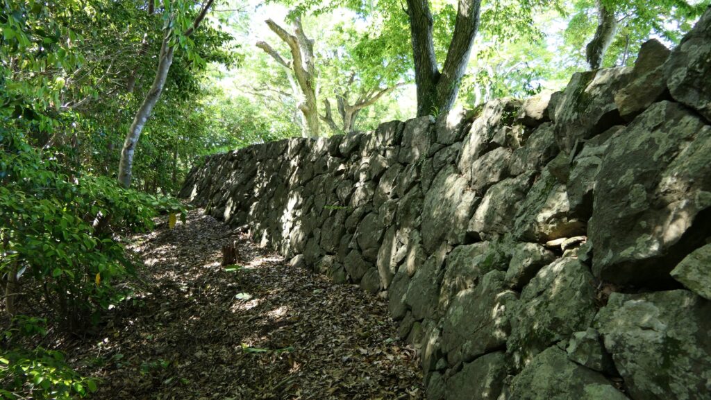
Northen Enclosure and Two Reservoirs
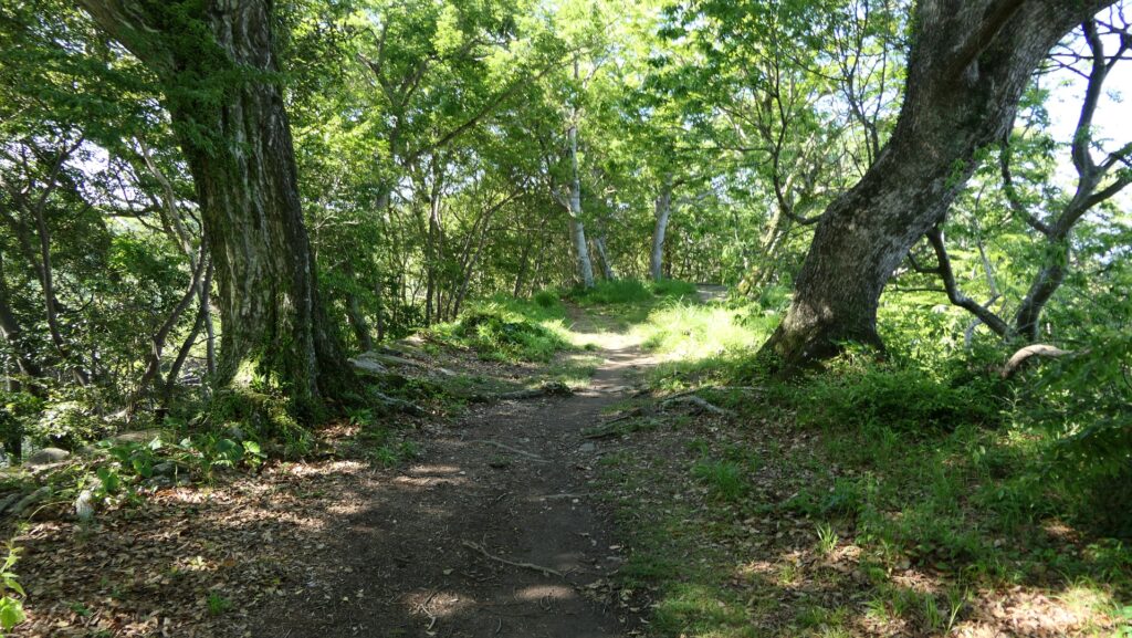
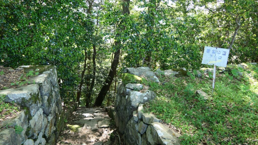
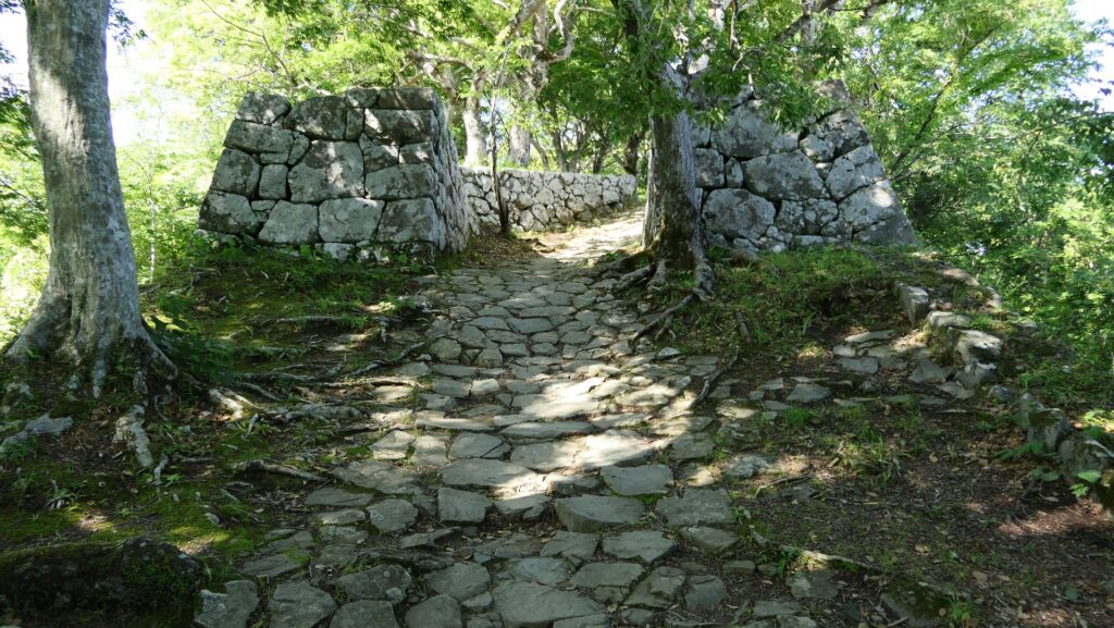
Let us visit the Northern Enclosure on the northern ridge of the mountain, which spreads from the Main Enclosure as well. Its top area is also surrounded by low stone walls being lined up neatly. It is separated from the Main Enclosure by an altered gate with stone walls and has the exit to the Back Route (also called Wakamiya Route) nearby.
The mountain part of the castle
The long Northen Enclosure on the northern ridgeThe edge of the Northen EnclosureThe stone walls surrounding the top of the Northern Enclosure
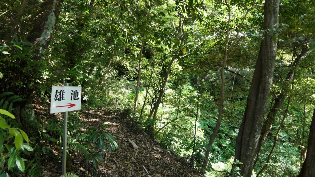
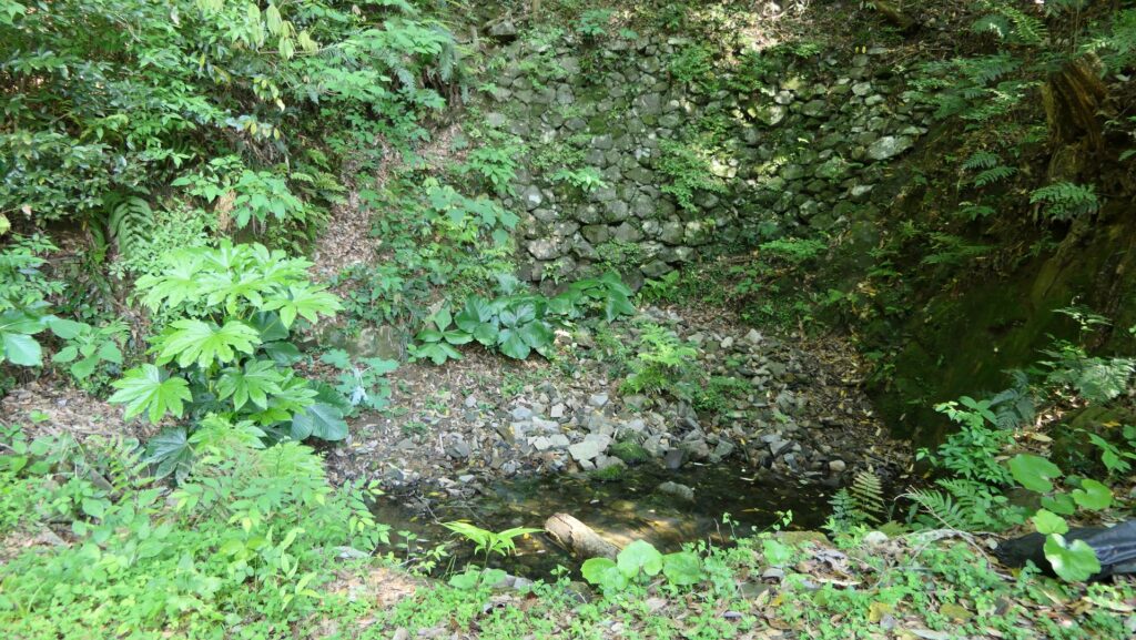
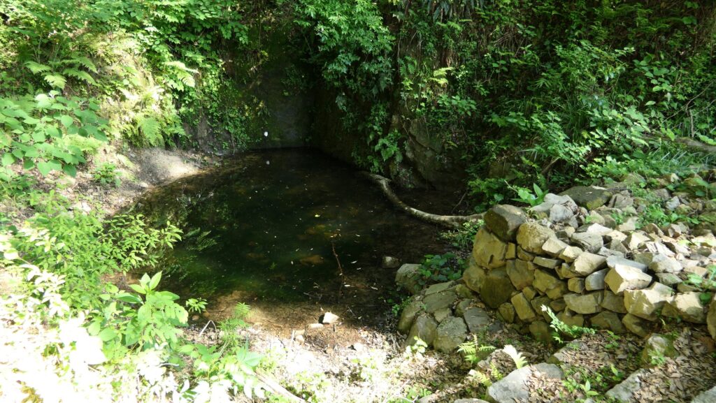
If you get out of the exit and climb down the trail on the route, you will eventually reach the two major reservoirs on the back valley, the upper Male Pond and the lower Female Pond. They are also surrounded by stone walls, which were probably considered the lifeline of the castle.
The exit to the back gateClimbing down to the Male PondThe Male PondThe Female Pond
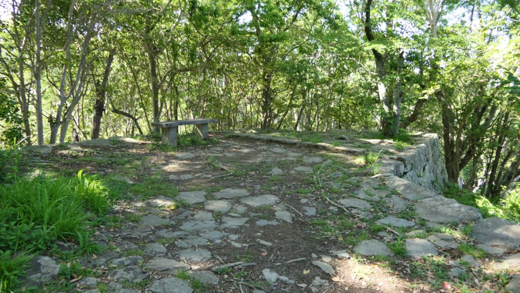
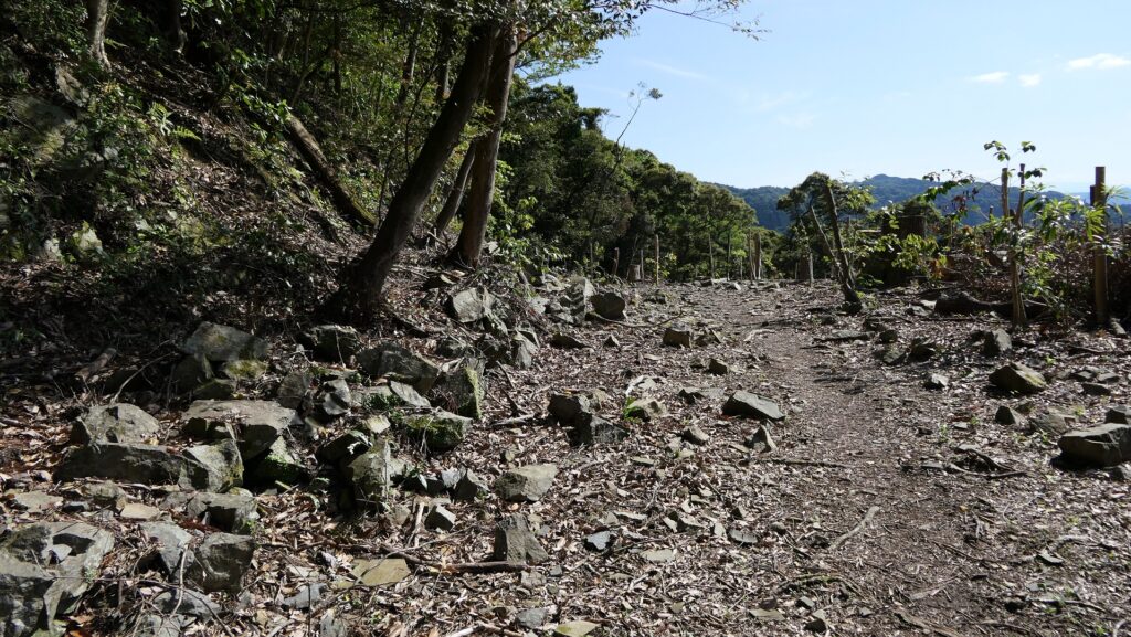
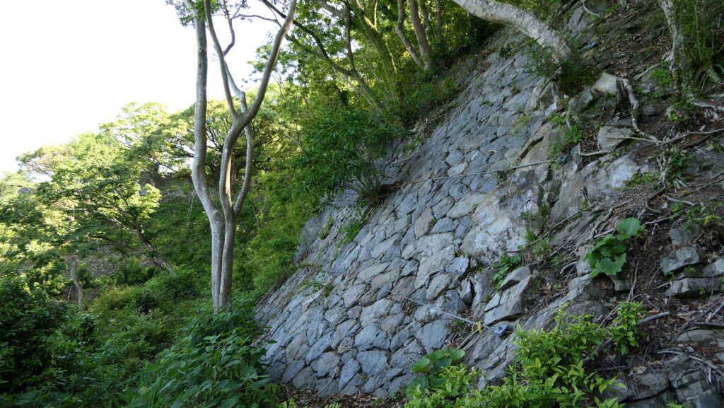
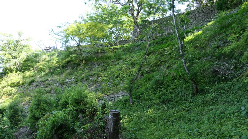
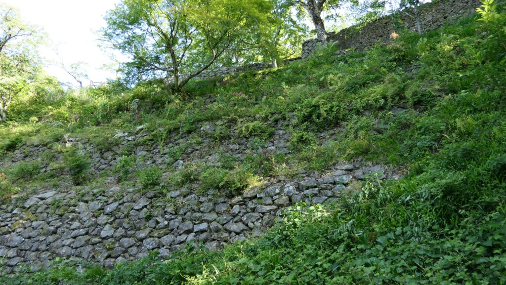
If you go up the trail a little, you can walk around the mid slope of the northern ridge where you can see some base stone walls beside the trail. The Northern Enclosure is supported by both of the stone walls around the top and the base. As you walk around, you will also see the great four-tiered stone walls supporting the Main Enclosure, which were recently discovered in 2009.
The path around the mid slope of the northern ridgeThe stone walls supporting the base of the northern ridgeGetting close to the Main EnclosureThe great four-tiered stone walls
Defensive spot of Castle
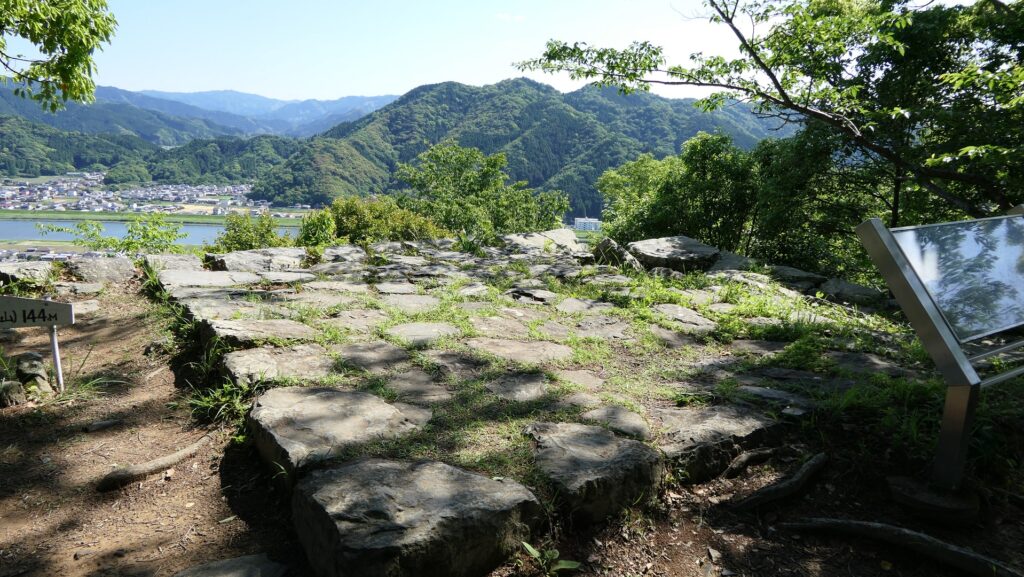
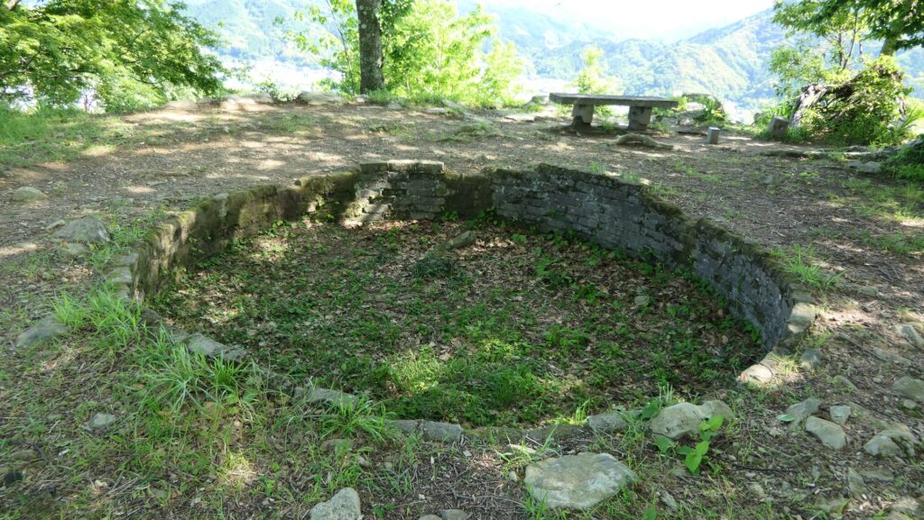
There is also the Western Enclosure on the western ridge, which is next to the Second Enclosure, opposite the Main Enclosure. It is separated from the Second Enclosure by a narrow gate with stone walls and has the end point of the Suimei Route from the foot of the mountain. This was the defensive spot of the castle’s western side which is another viewing spot of the city area. You can also see round-shaped stone foundations there, which do not belong to the castle, but are the ruins of an anti-aircraft gun position during WWII.
The inside of the Second EnclosureThe gate between the Second and Western EnclosuresThe turret ruins at the Western EnclosureA view from the Western EnclosureThe ruins of the anti-aircraft gun position
Remaining Main Hall Gate
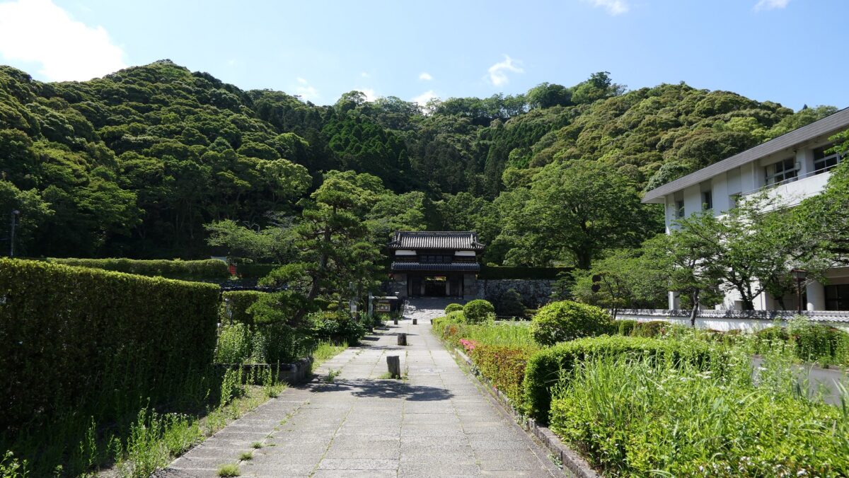
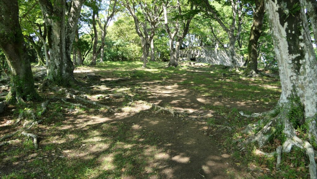
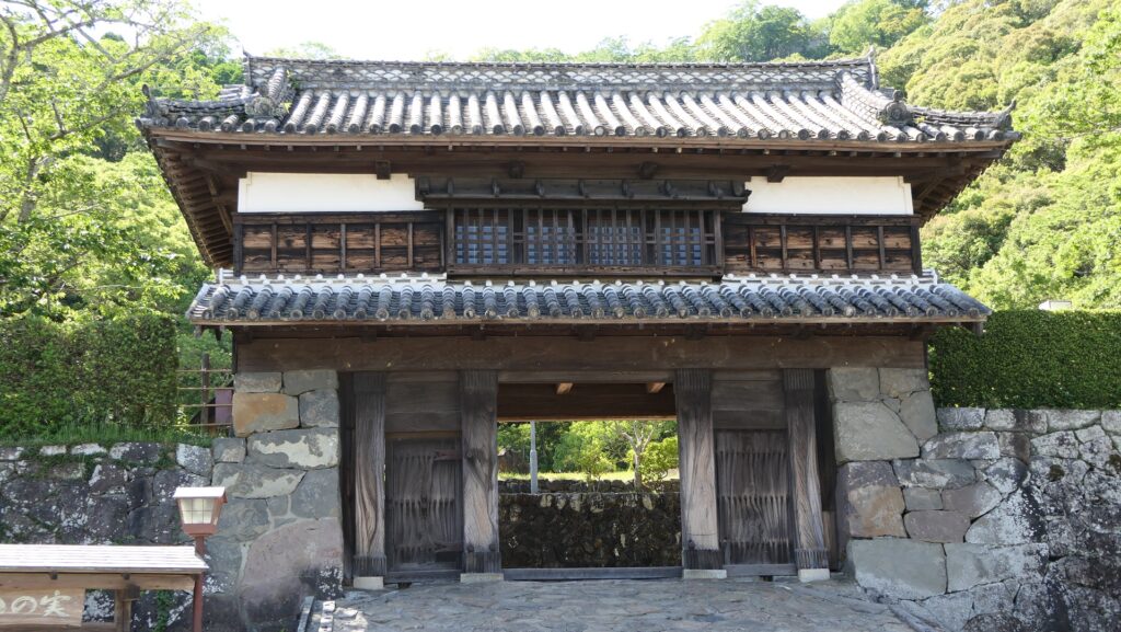
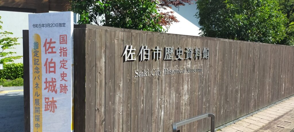
The bottom part has the Third Enclosure Turret Gate, the only remaining building of the castle. This gate was the one for the Main Hall for the lord in the enclosure. The inside of it behind the gate is an empty space now. Saiki City Historical Museum is another attraction of the castle where you can learn about the history of the castle and city, including Takamasa Mori, the founder of the castle. You can also enjoy a view of the mountain with great stone walls on the top, from the front of the museum.
The map around the castle
The remaining Third Enclosure Turret GateThe inside of the Third Enclosure is emptyThe entrance of Saiki City Historical MuseumA view of the castle ruins from the front of the museum
Later History
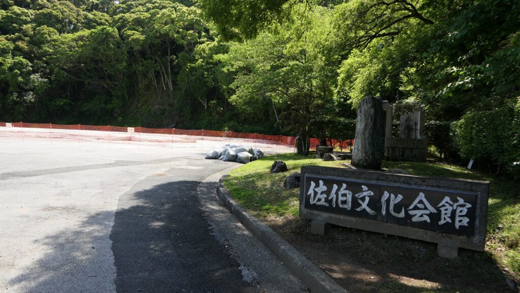
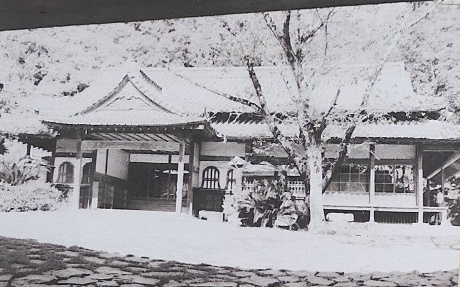
After the Meiji Restoration, Saiki Castle was abandoned and all the buildings on the mountain were demolished. The mountain part was eventually used as a park and Mori Shrine. Saiki City started to excavate the mountain in 2009. The excavation team found that the castle was a newly built mountain castle in the Edo Period which was very rare in Japan. As a result, the castle ruins on the mountain were just designated as a National Historic Site in 2022. The bottom part had part of the Main Hall with its gate as an official building or a school for a long time, however the final remaining entrance of the hall was move to another place in 1969 for the construction of the Saiki Cultural Hall. The only remaining gate has been designated as a tangible cultural property of the city.
The photo of the entrance of the hall before being moved, exhibited by Saiki City Historical Museum
My Impression
I think people in Saiki City are proud of their home town and its history. For example, in their daily life, if they have time and the weather is not bad, they can climb Saiki Castle Ruins on the mountain any day, because the ruins are near the city area. As a result, they can enjoy beautiful scenery, get good health, and learn their local history. I wish I could live in an area like Saiki City.
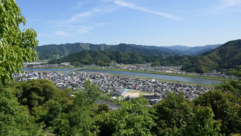
A full view of the castle ruins (the mountain and foot)
How to get There
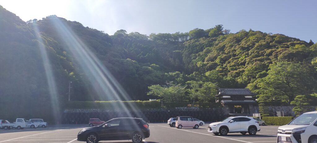
If you want to visit the castle ruins by car, it is about a 15 minute drive away from Saiki IC on the Higashi-Kyushu Expressway. There is a parking lot for visitors in front of the castle ruins. If you want to use public transportation, you can take the Oita bus from JR Saiki Station and get off at the Ote-mae bus stop. It takes a few minutes on foot to get there. For visitors from Tokyo or Osaka: Take the express bus to Oita Station from Oita Airport after using a plane, and get the train on the Nippo Line from the station.