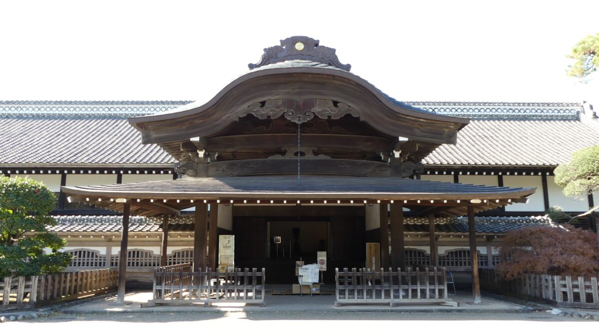
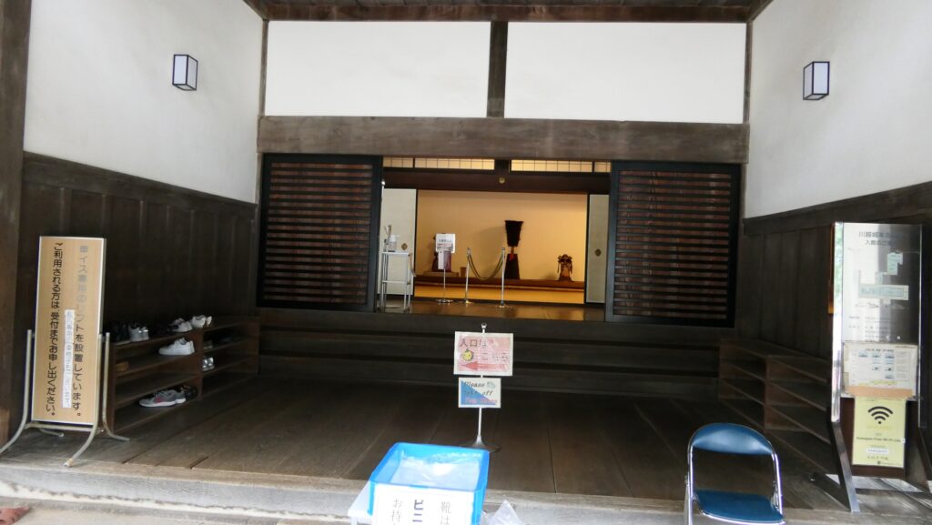
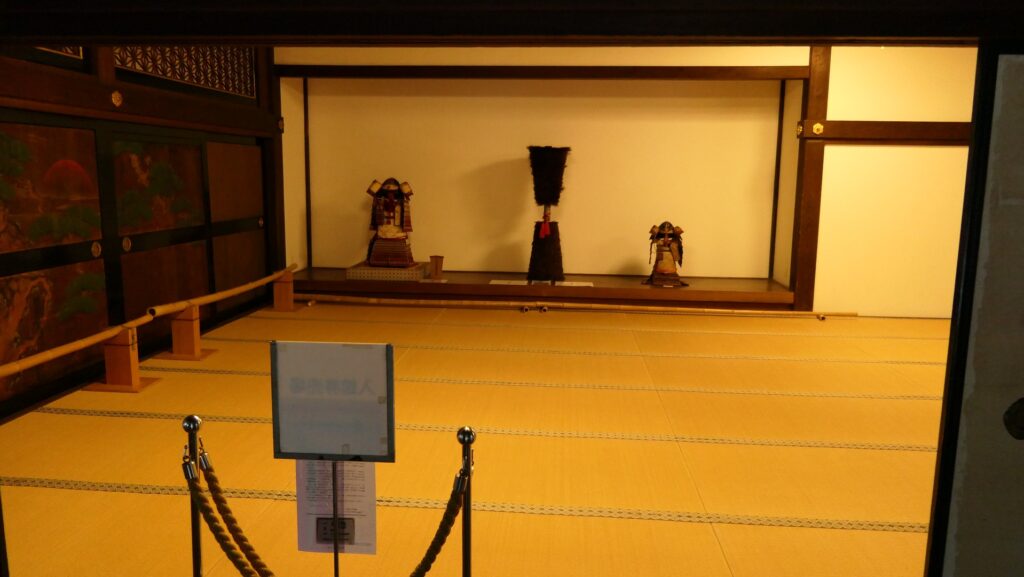
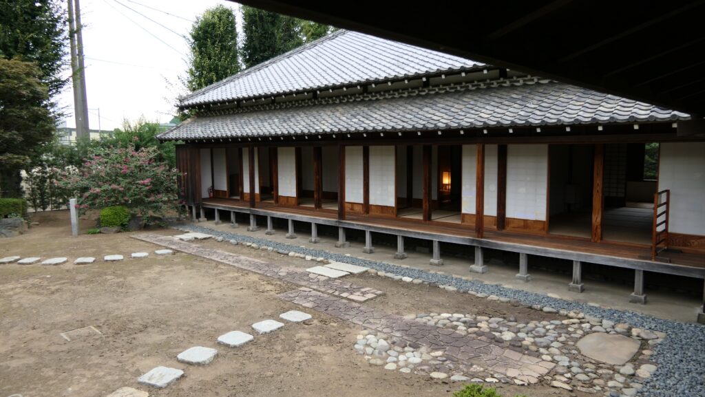
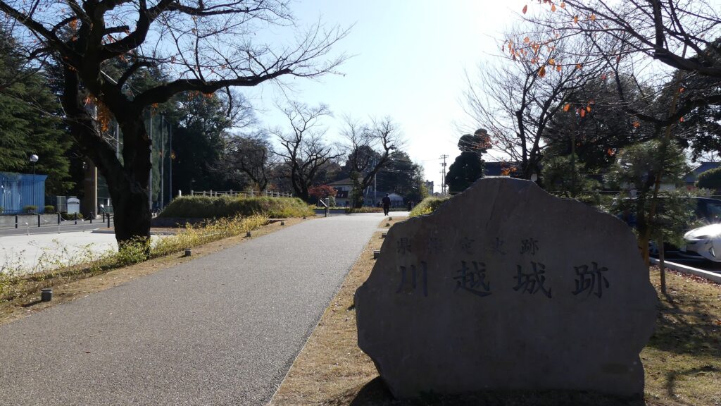
Today, the ruins of Kawagoe Castle are not noticeable among the city area. Only part of the Main Hall remains in the Main Enclosure and some related historical items are preserved or restored around. Let us first seek for some of the traces of the castle in the city area before visiting the Main Hall in the center.
Features
Today, the ruins of Kawagoe Castle are not noticeable among the city area. Only part of the Main Hall remains in the Main Enclosure and some related historical items are preserved or restored around. For example, if you walk or drive from the east of the castle, which was a waterlogged area, to the castle ruins, you may just notice the road is slightly going up. That was a border for dividing the inside and outside of the castle, but all of them have become a city area. Therefore, let us first seek for some of the traces of the castle in the city area before visiting the Main Hall in the center.
Around the eastern edge of the castle in the past
Older Traces of Castle
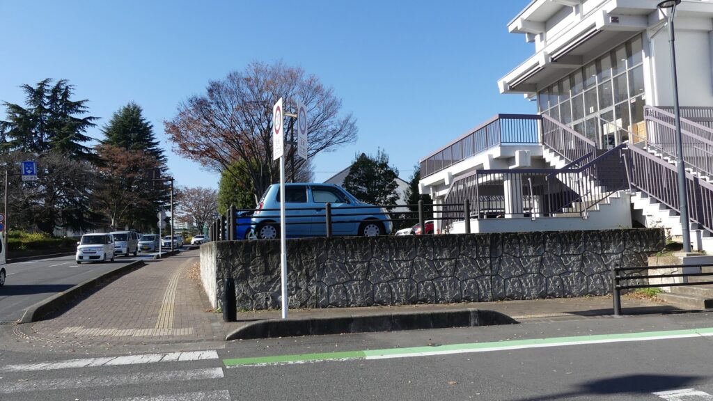
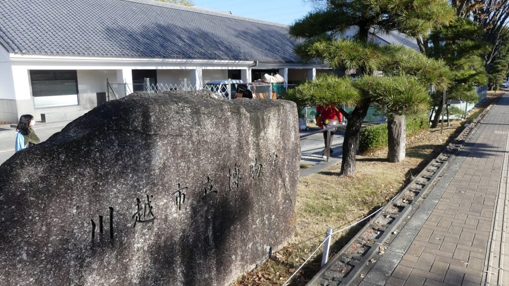
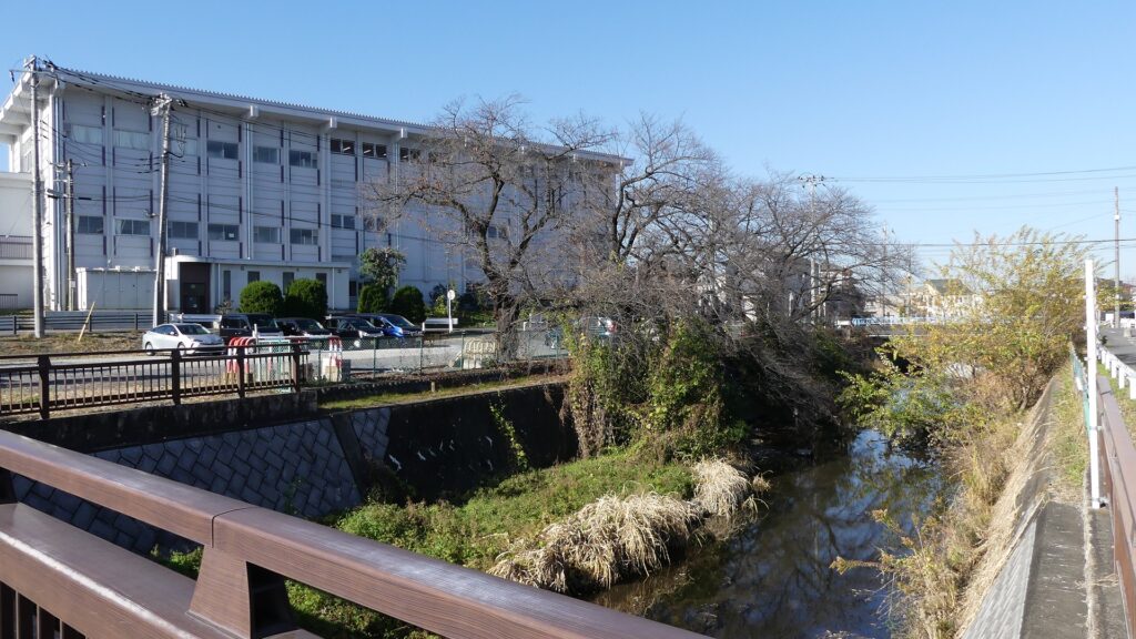
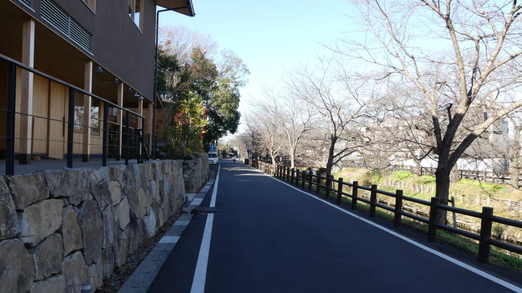
We will start from the second enclosure, which is the north of the main enclosure and where Kawagoe City Museum is located. This was the eastern edge of the castle in its early stage. You can now walk down to the Shingashi River on the east, which was developed during the Edo Period. Some of the residential areas around originate from new enclosures at that time and some of the roads were moats.
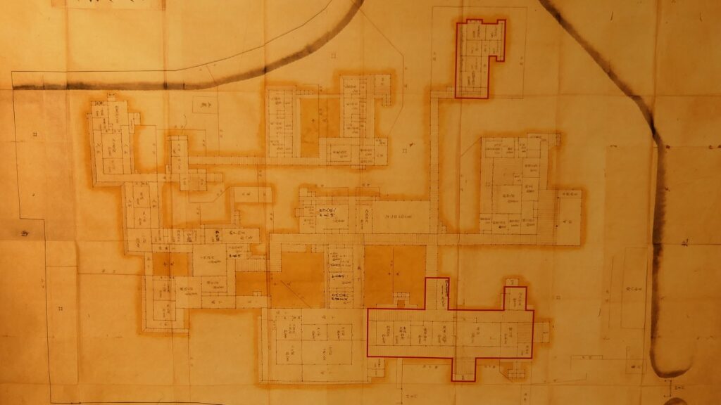
The aerial photo around the castle
Kawagoe City MuseumThe Shingashi RiverAround here was a moat in the past
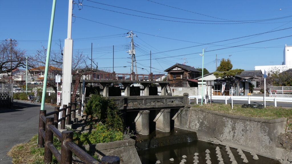
If you walk along the river, it will follow the edge of the Musashino Plateau. You will eventually find Taya Weir which was originally the estuary of the Taya River. That means the upstream beyond is older than the downstream.
Going along the riverThe Taya Weir
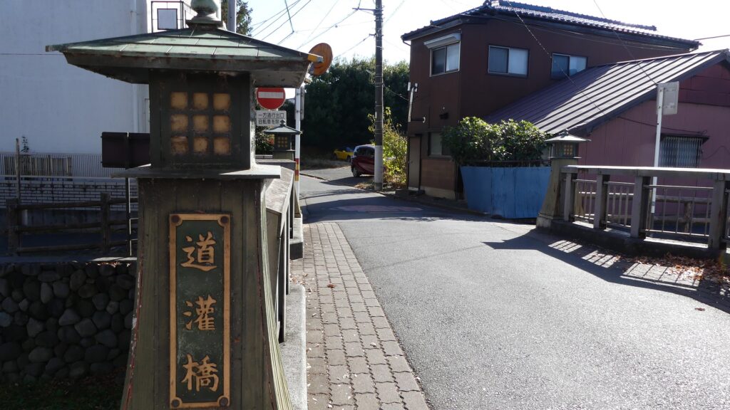
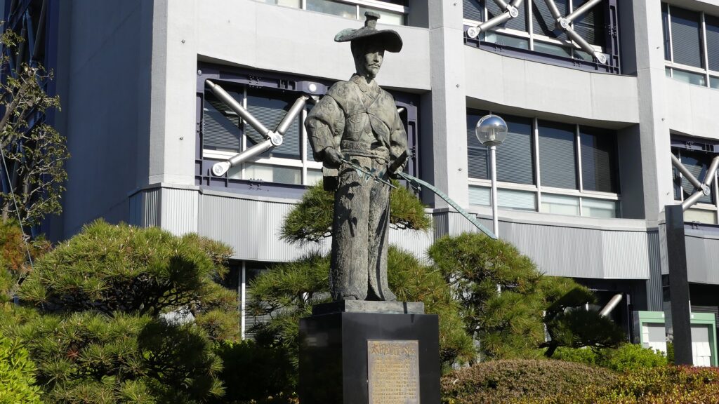
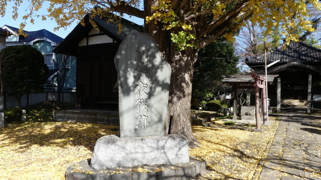
If you go further, you will see Dokan Bridge which named after the castle’s builder, Dokan Ota’s residence was nearby. You will next see Tomyoji Bridge where the Uesugi Clan’s troops assaulted during the Siege of Kawagoe Castle in 1546. The Tomyoji Temple is near the bridge, where severe battles occurred in the battle.
The Dokan BridgeThe stathe of Dokan Ota in front of Kawagoe City HallThe Tomyoji BridgeThe monument of the Night Battle of Kawagoe in the Tomyoji Temple
From Western Main Gate Ruins to Main Enclosure
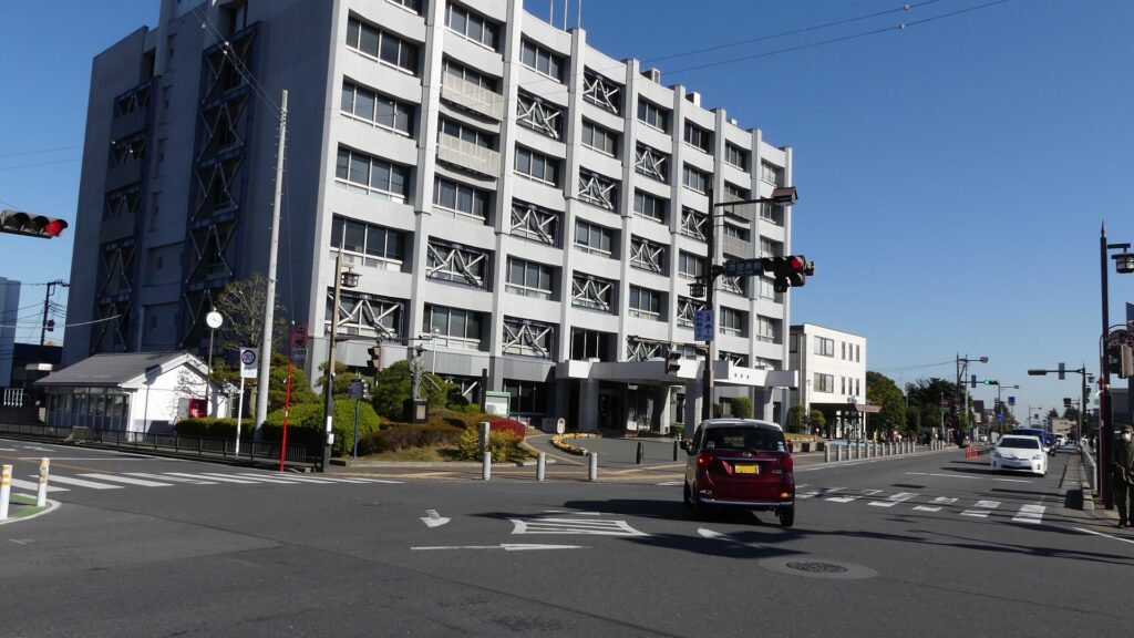
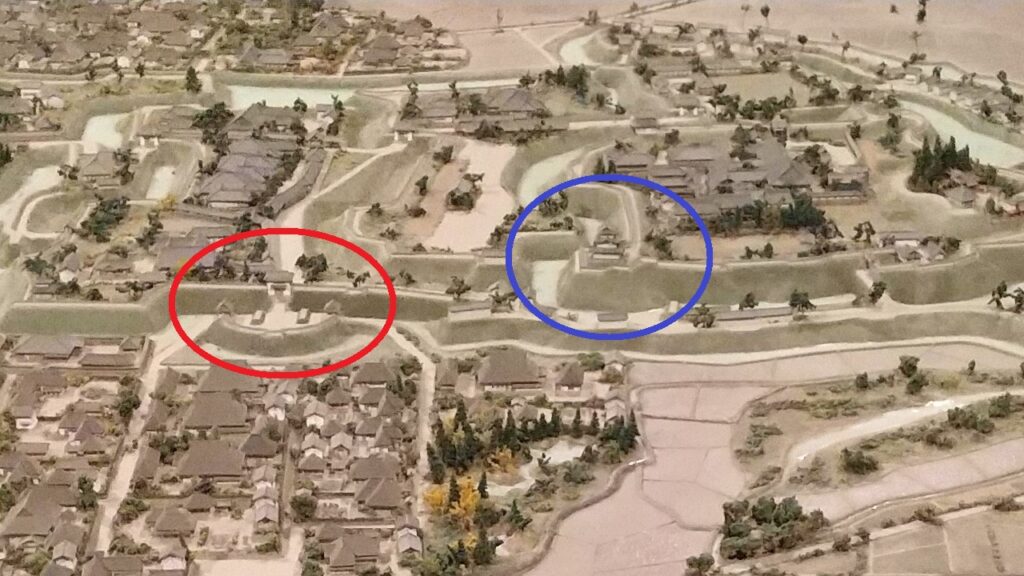
Let us nest go to the south around the City Hall of Kawagoe where the western main gate of the castle was built. The route through the gate was protected by a Umadashi system which was a round-shaped small enclosure in front of it. However, it was removed and has become an intersection crowded with many tourists. The current road goes straight to the center of the castle on the east, unlike the former curved road.
The map around the castle
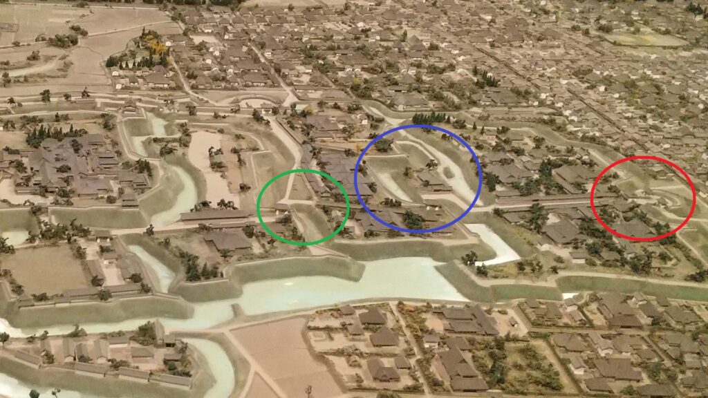
The intersection in front of Kawagoe City HallThe ruins of the western main gateThe western main gate (marked by the red circle) in the miniature model exhibited by Kawagoe City Museum
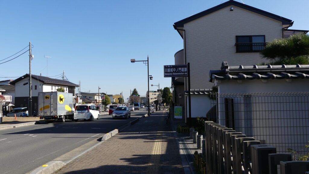
The road curved on the right and hit the moat of Naka-no-mon Gate. Visitors had to turn left to enter the gate. The moat has partially been restored to be open to the public.
The miniature model seen from the north, the western main gate is marked by the red circle. the moat of the Naka-no-mon gate is marked by the blue circle, and another curved point is marked by the green circleThe moat of the Naka-no-mon Gate is on the rightThe moat has partially been restored
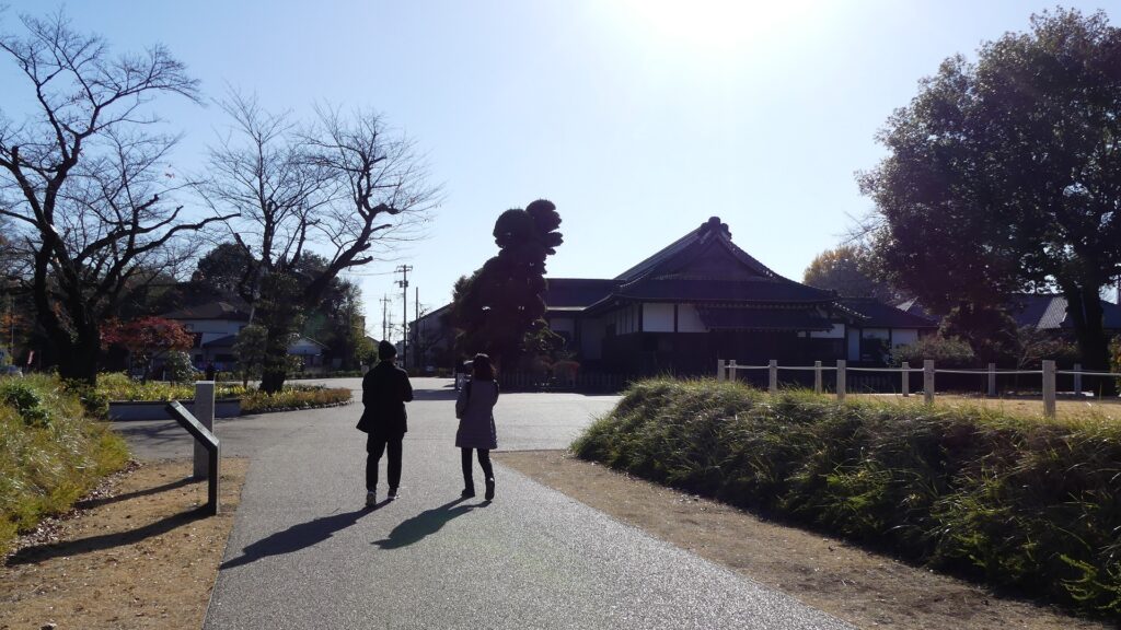
If you go further after passing the moat, you will find a planted round space on the right. This is the trace of another moat overhanging from the left, which meant visitors were not able to go straight again. The former road finally reached the main enclosure after passing the second enclosure.
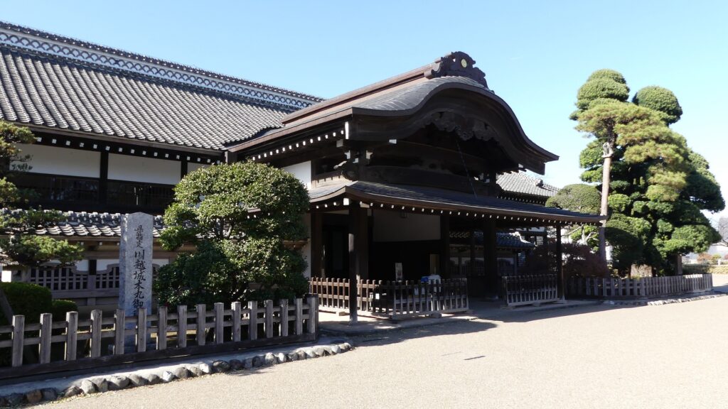
The trace of another moatArriving at the main enclosure
From Southern Main Gate Ruins to Main Enclosure
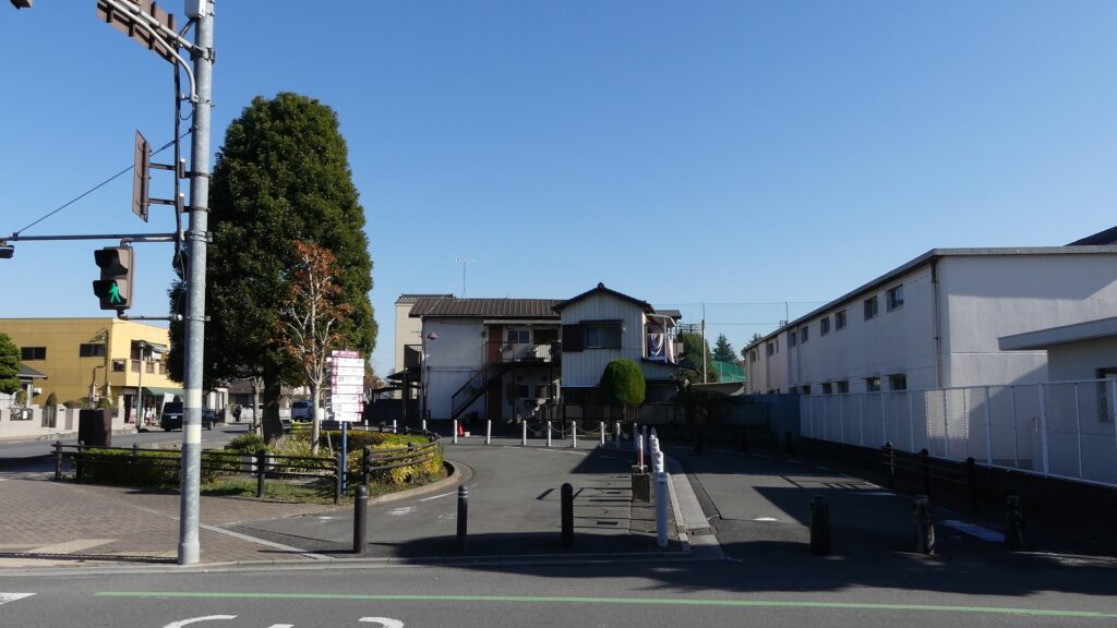
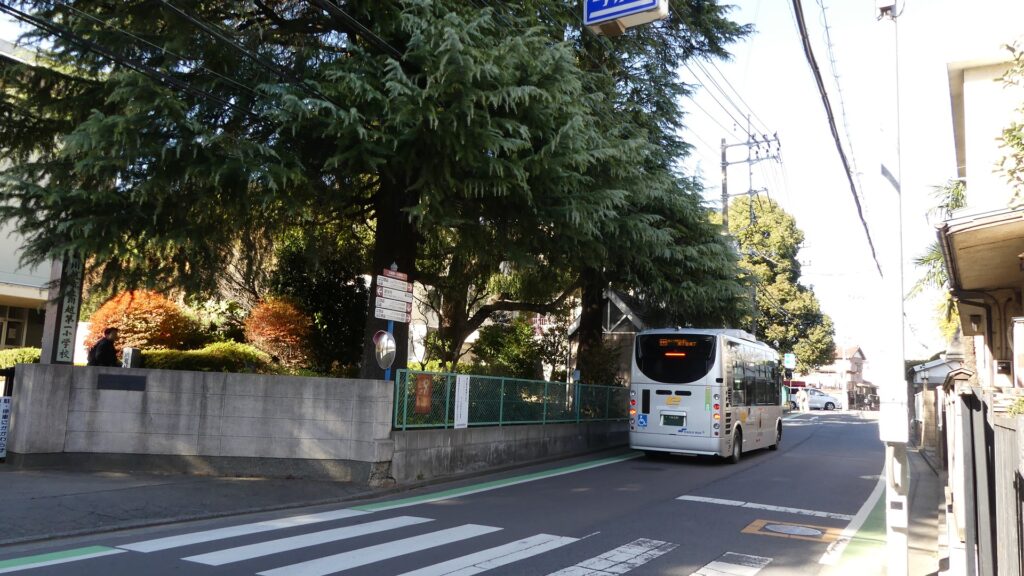
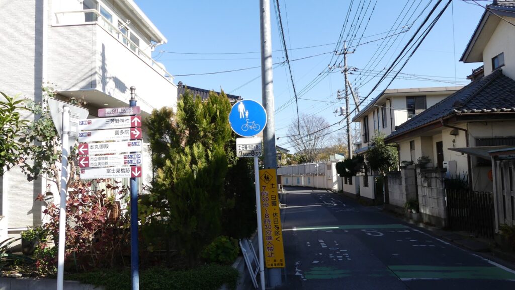
Let us check out another original route to the center from the southern main gate. The gate was similar to the western one and also completely removed, so there are no traces at all at the site beside Kawagoe Daiichi Elementary School.
The map around the castle
The miniature model seen from the south, the southern main gate is marked by the red circle and the Fujimi Turret is marked by the blue circleAround the ruins of the southern main gate
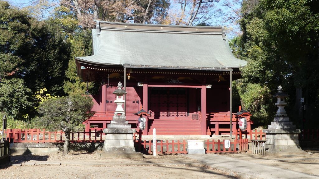
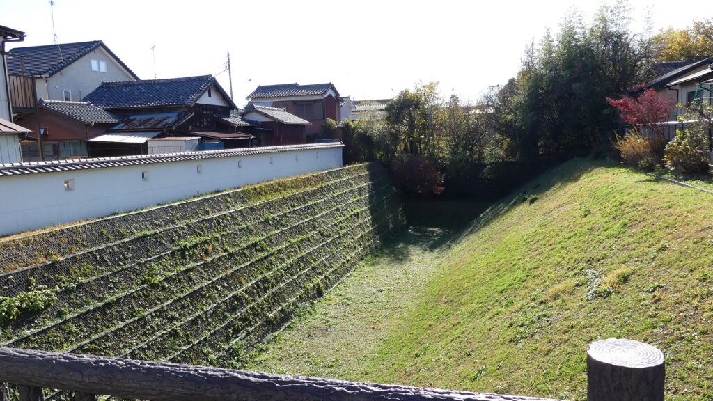
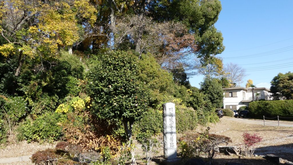
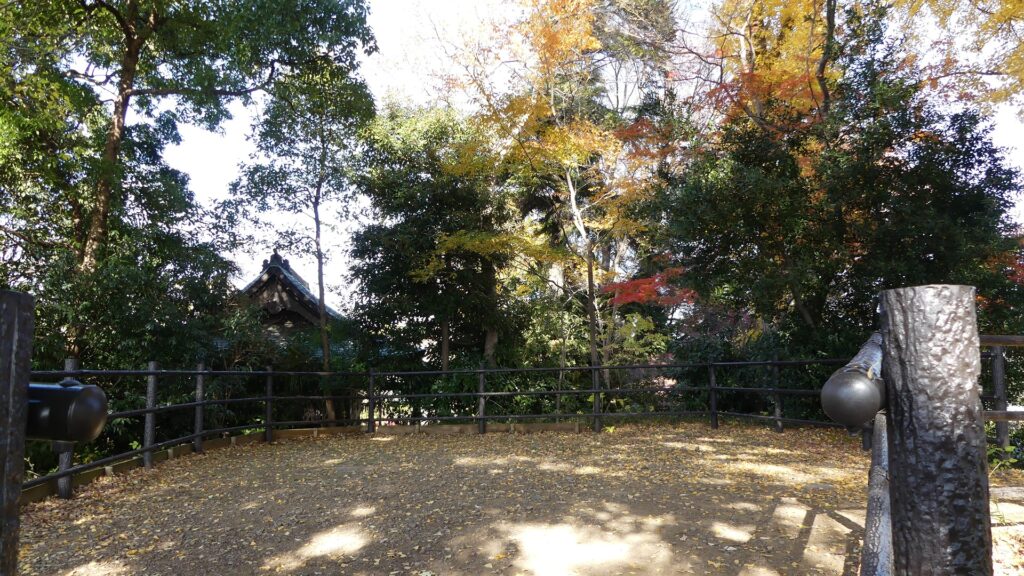
If you walk on the road along the school to the north and turn right at the first intersection, you will go on the original path to the center. The path is paved and surrounded by modern residential areas now, but was surrounded by earthen walls or water moats in the past. You will next see a hill on the left, which is the ruins of Fujimi Yagura (meaning Seeing Mt. Fuji Turret). The turret had three stories, which was the substitute for a Main Tower. It was used as a lookout and defense for the castle.
The original path to the centerThe ruins of the Fujimi Turret
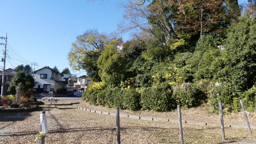
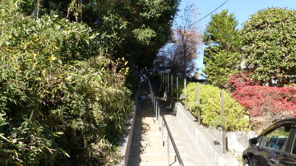
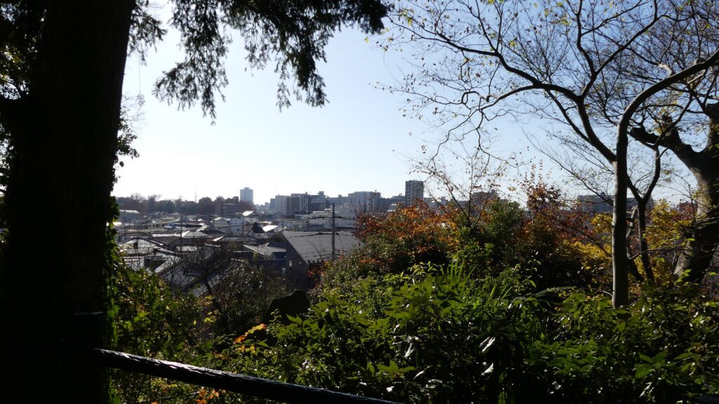
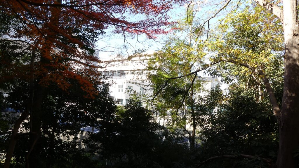
You can climb to the top of the hill over the dried moat ruins in front. The turret was accessible from the center in the past, since it is currently used as a High School establishment, access is already restricted. You need to go back to the path, turn left to reach the main enclosure.
Going over the moat ruinsClimbing the stairwaysThe top of the hill where the turret was builtA view from the topThe area behind the turret is used as the schoolYou need to go back to the path to reach the main enclosure