イントロダクション
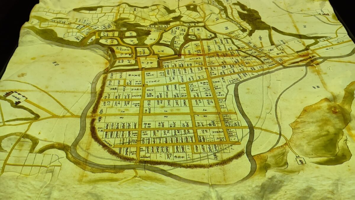
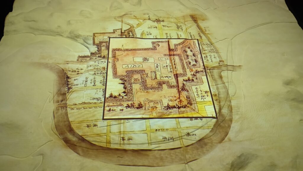
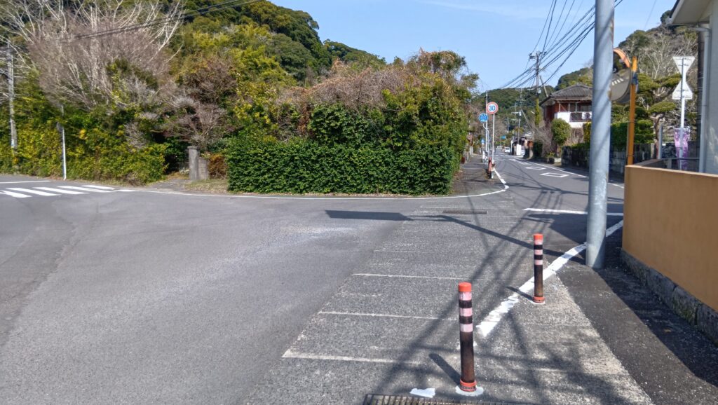
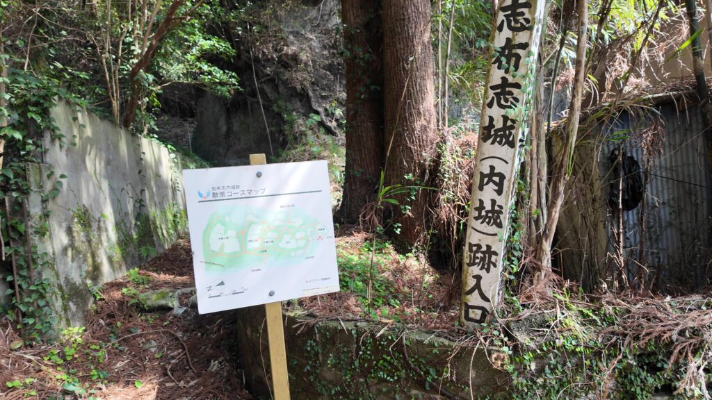
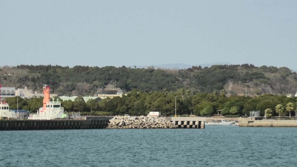
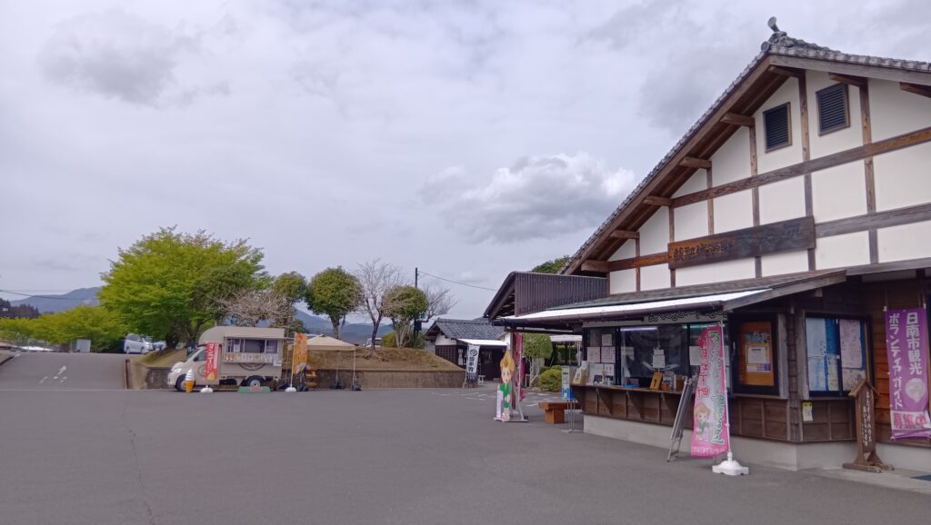
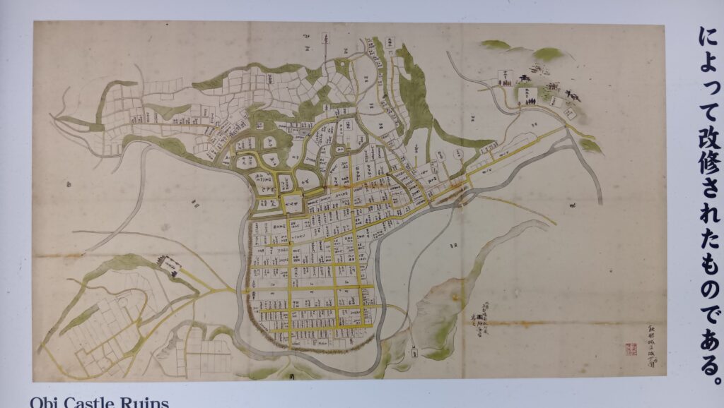
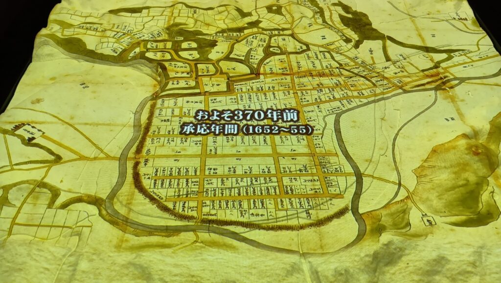
今日はまず、観光案内所の前に来ています。ここには駐車場もあって、飫肥観光の拠点になっています。さすが飫肥だけあって、案内版にも昔の絵図が載っています(1652~55年の承応年間のもの)。今の町の道路とほとんど同じに見えます。自分で回っているところが、絵図ではどこなのかチェックしてみるのもいいかもしれません。
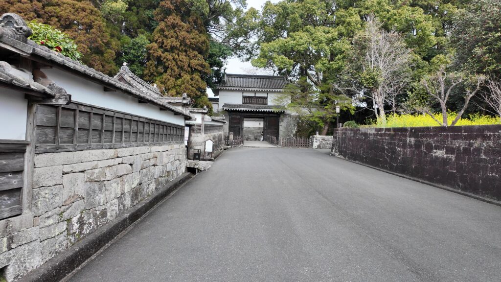
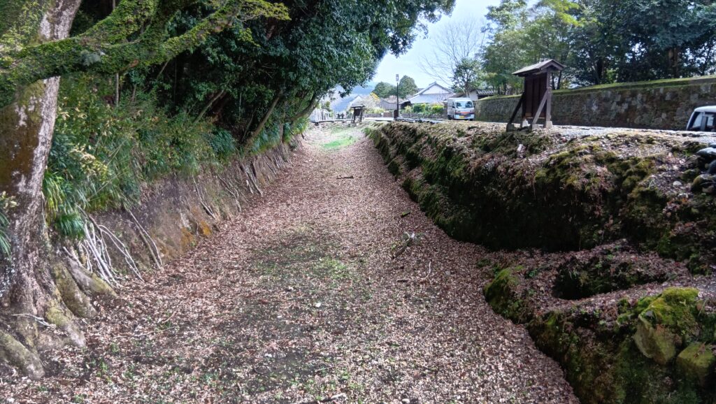
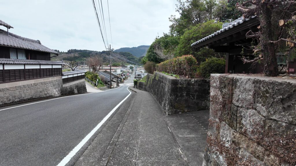
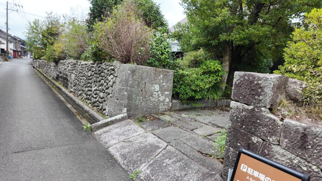
それでは、城に向けて出発しましょう。大手門通りに入ったところで、最初のチェックポイントがあります。この大手口の道は、かつてはクランクして、門が横向きに建てられていました。曲がっていたところの石垣が残っています。
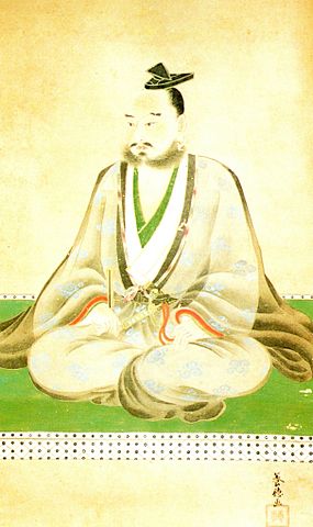
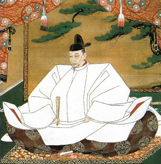
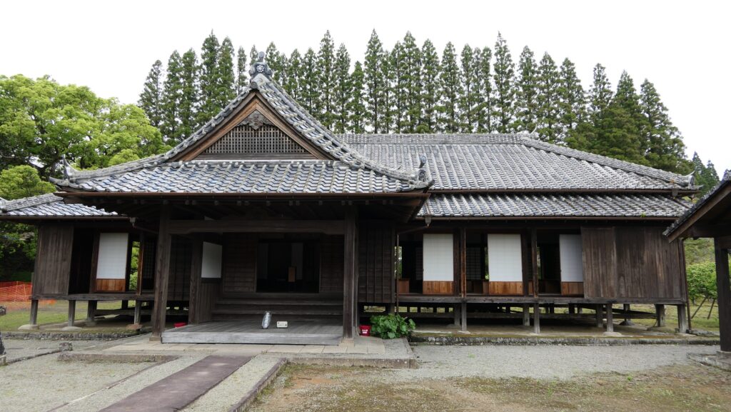
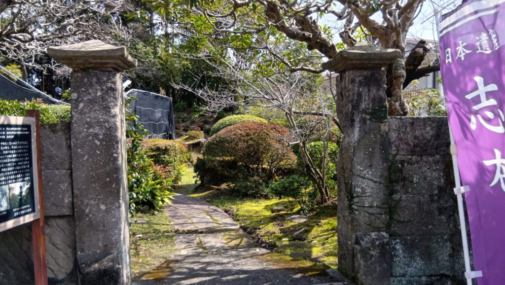
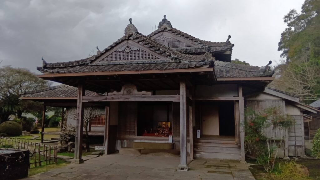
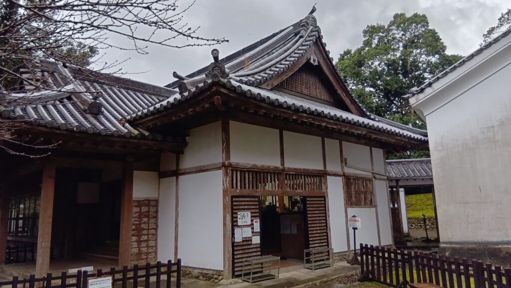
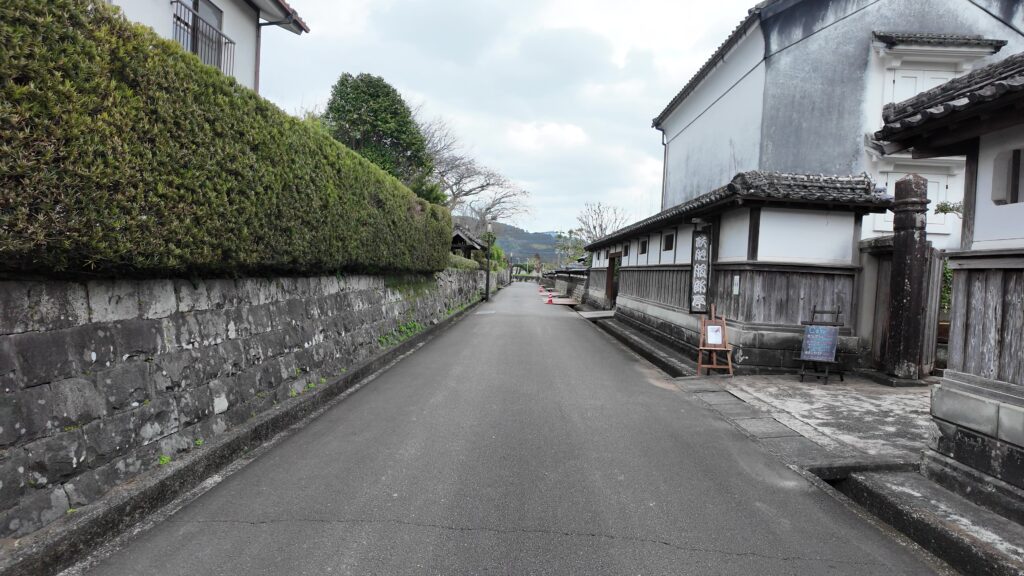
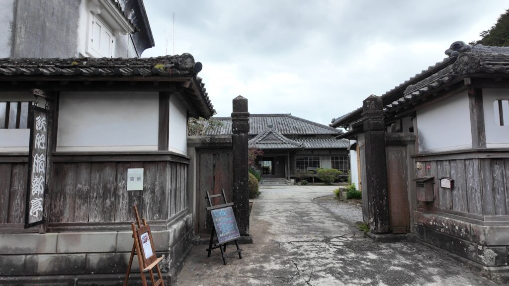
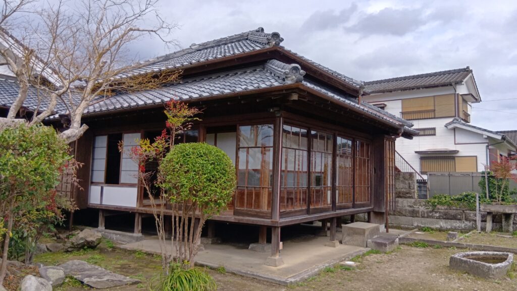
大手門の方に向かいます。道は既に石垣に囲まれています。左側は、明治になってお殿様が移り住んだ「豫章館」、右側は「小村寿太郎記念館」です。見どころがそこら中にあります。
大手門に着きました。ここから城跡の中心部を見て、シラス台地の城の痕跡を探します。続いて武家屋敷界隈を歩きますが、ここにもかつての城の痕跡があります。最後は、城下町を楽しみましょう。

今回の内容を趣向を変えて、Youtube にも投稿しています。よろしかったらご覧ください。
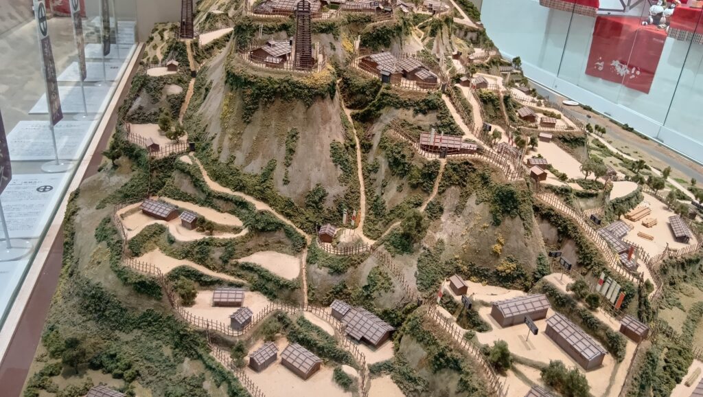
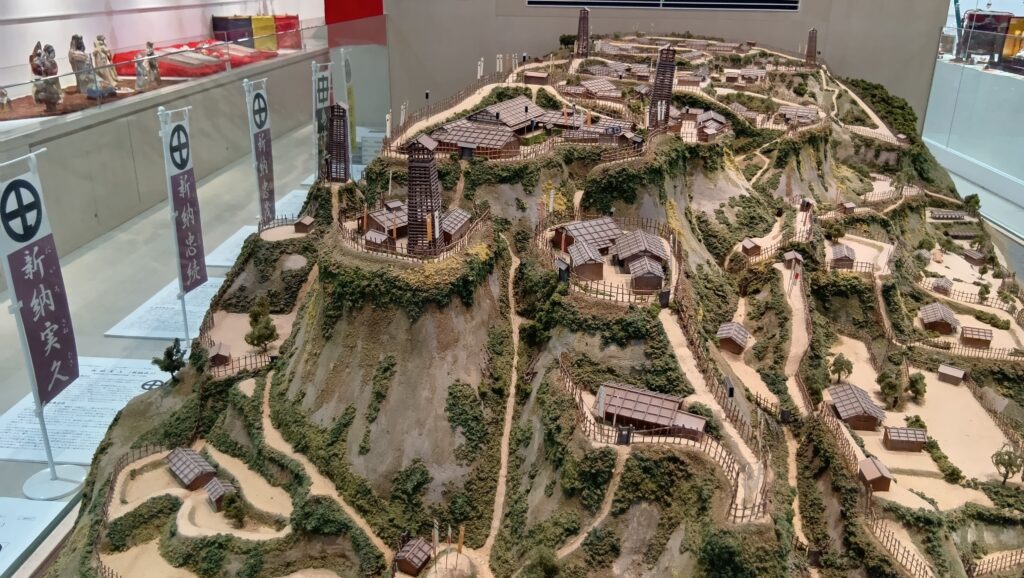
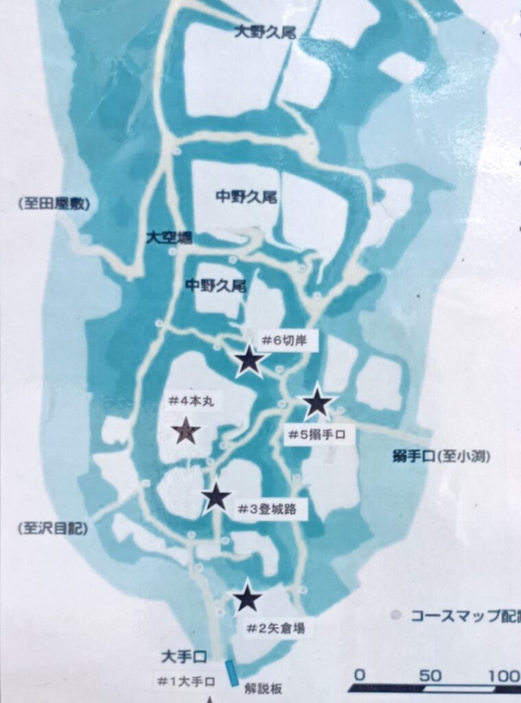
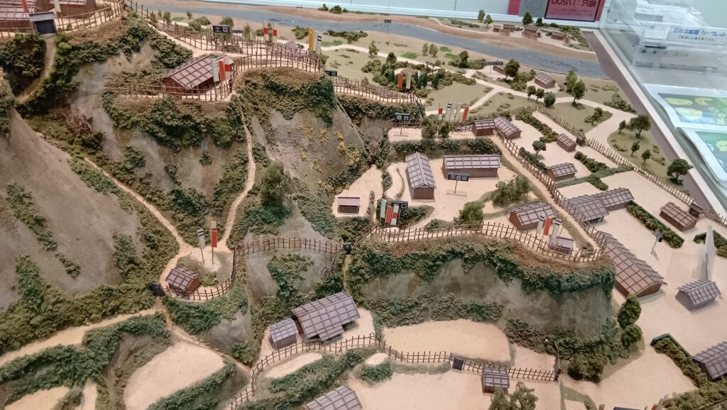
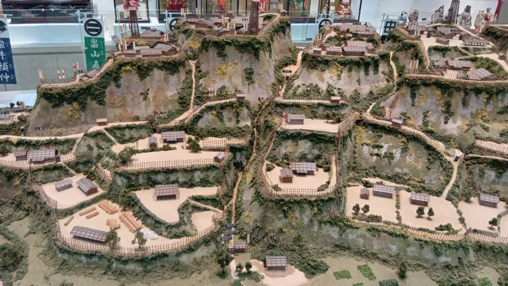
特徴、見どころ(飫肥城と城下町めぐり)
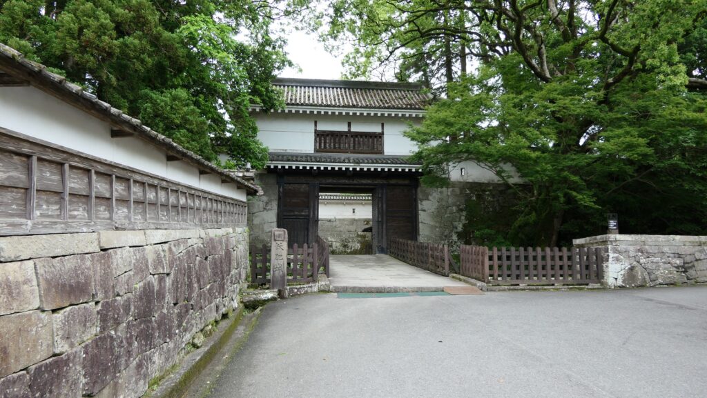
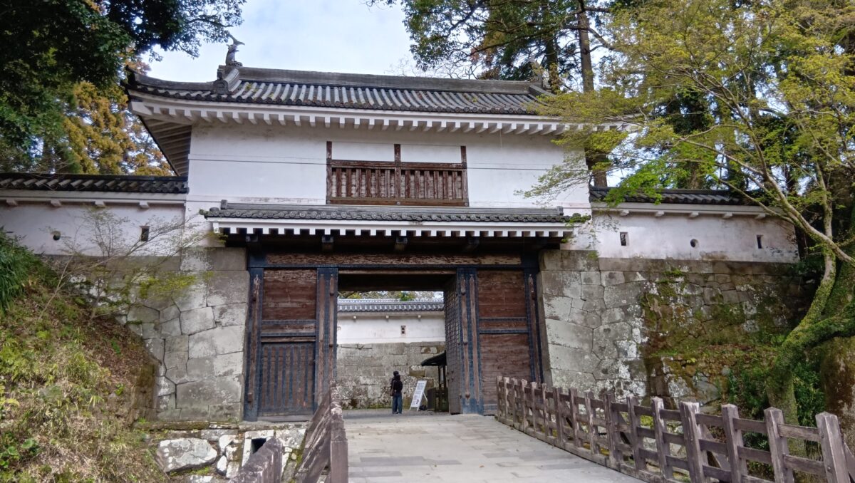
大手門~すごい石垣
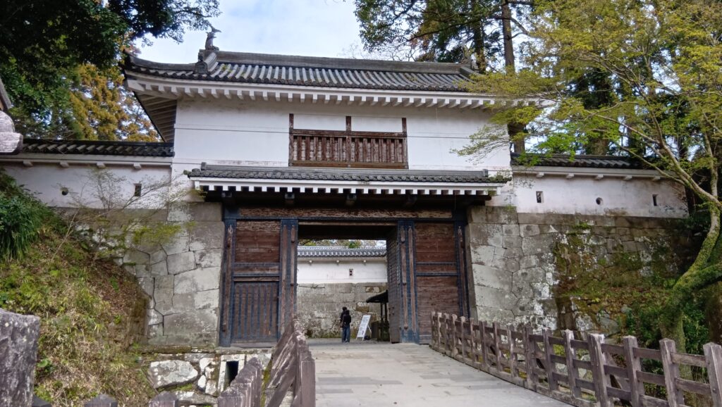
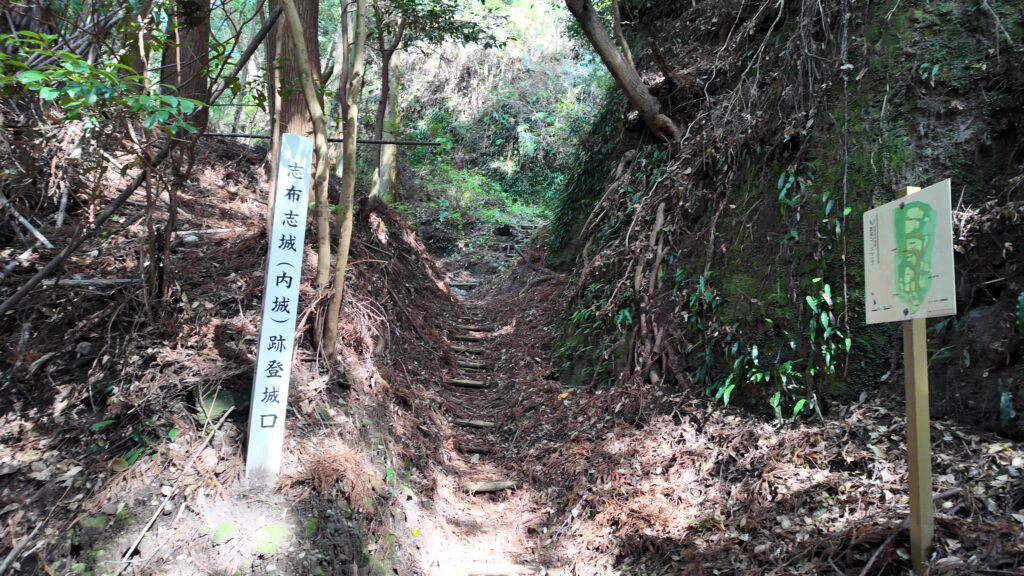
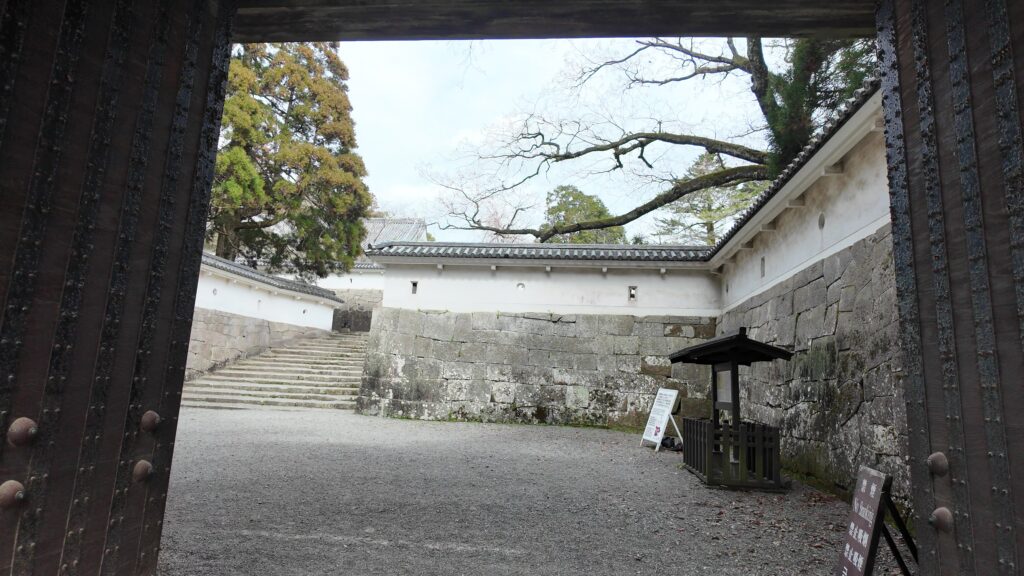
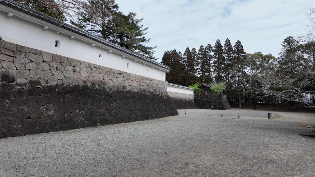
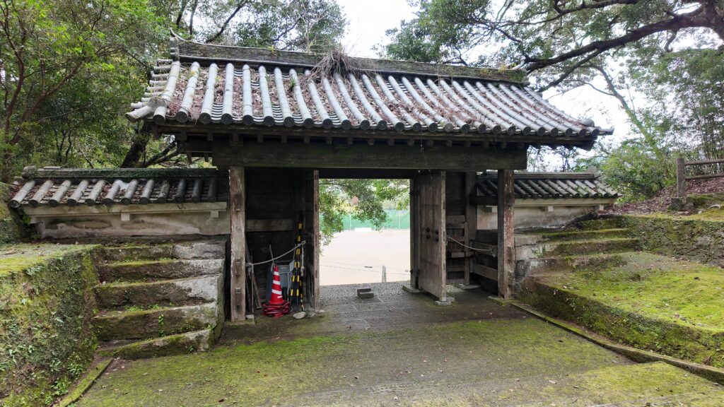
大手門に入っていきましょう。その前には古い空堀があります。現在の門の建物は、1978年に再建されたものです。オリジナルの門は、もう少し小ぶりだったそうですが、今の門もすっかり定着しています。石垣はオリジナルで、門内は枡形になっています。
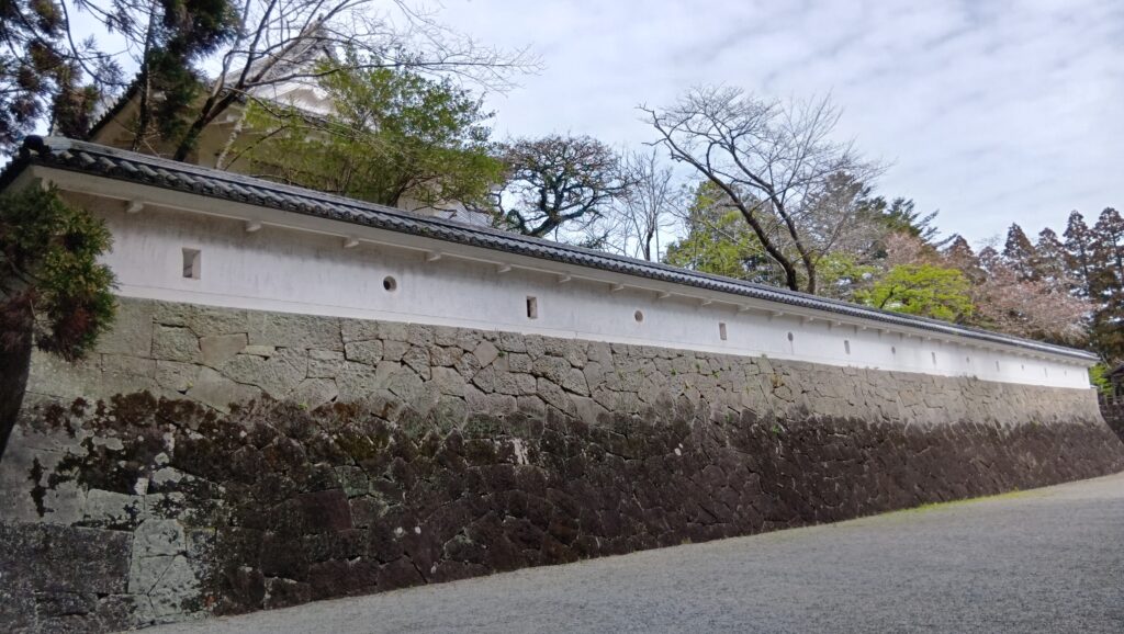
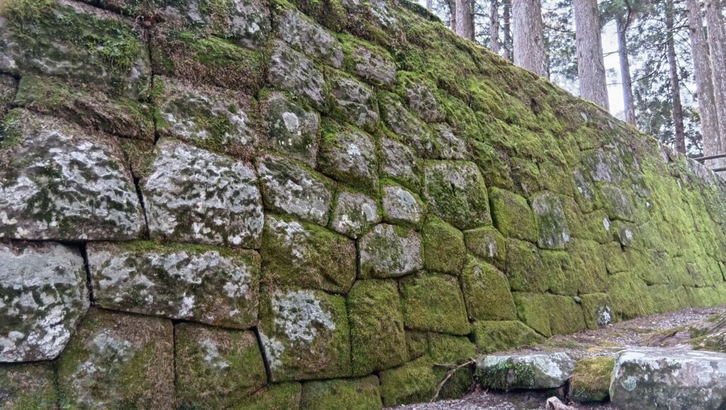
石段を登っていきましょう。本丸石垣が見えてきました。ツートンカラーがかっこいいです。石の種類が違うのでしょう。手前のエリアがずいぶん細長くなっていますが、「犬の馬場」と呼ばれた場所で、中世に犬追物が行われたのが由来だそうです。石垣の向こうには南櫓がありました。
そして、石垣の途中を反対側から見ると、出入口になっています。ただ、普段は開かない「開かずの門」でした。
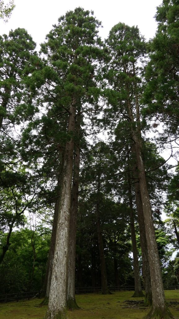
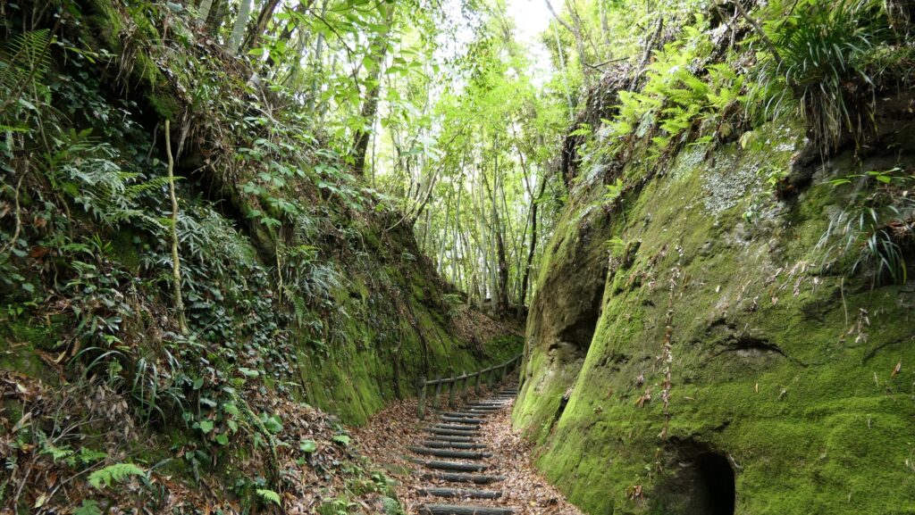
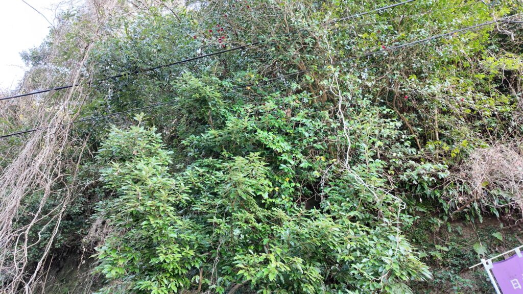
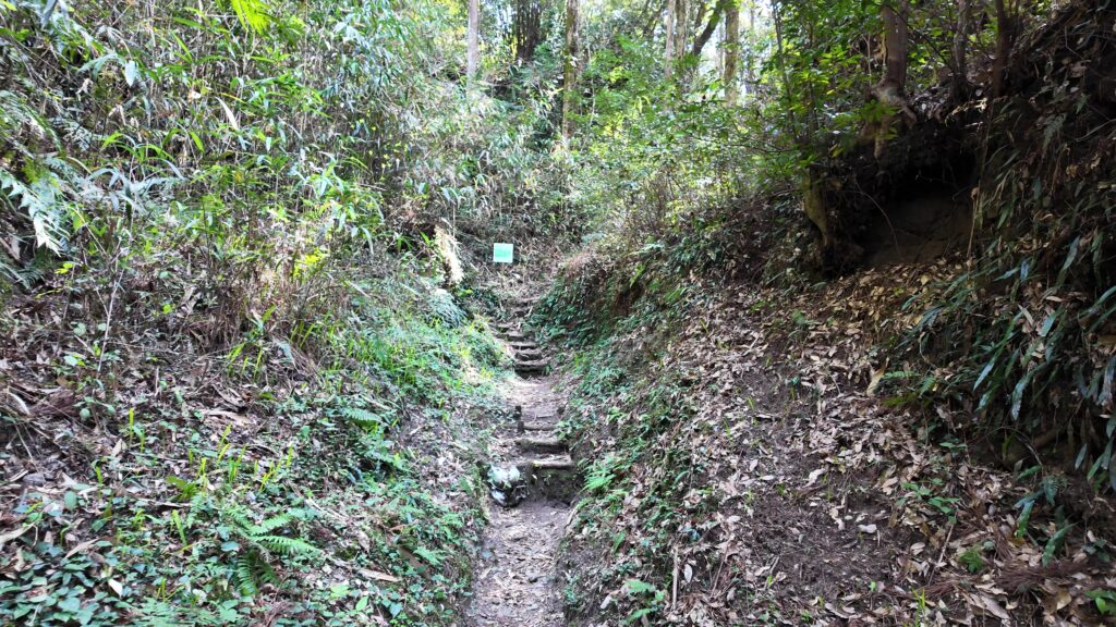
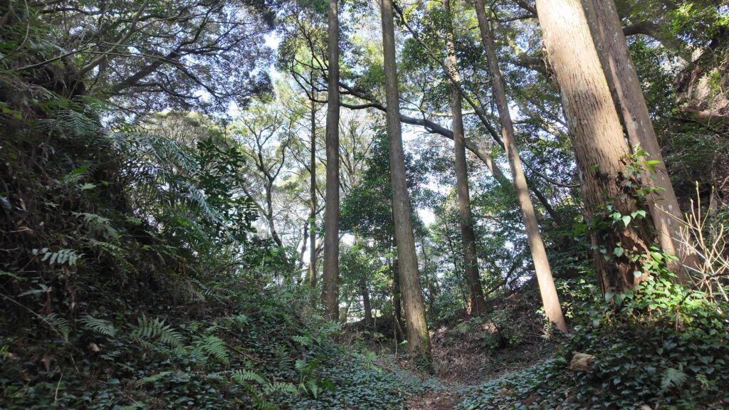
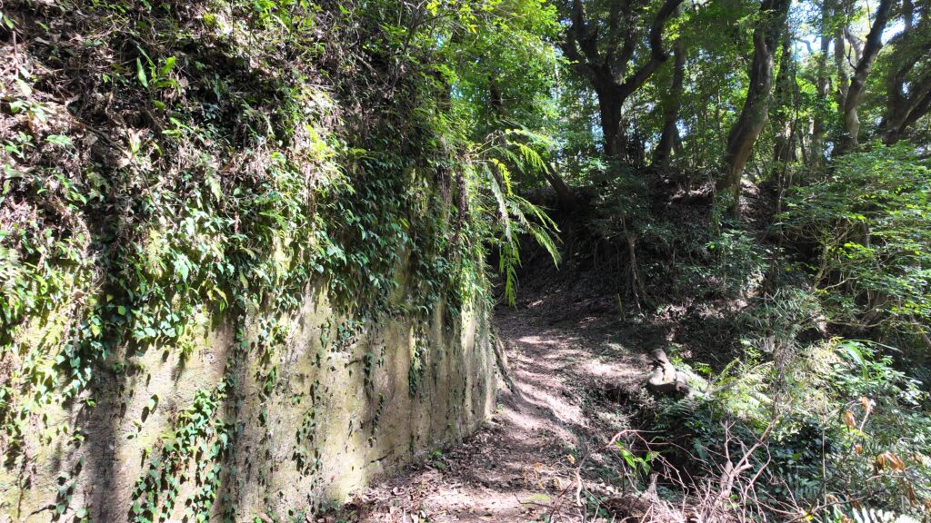
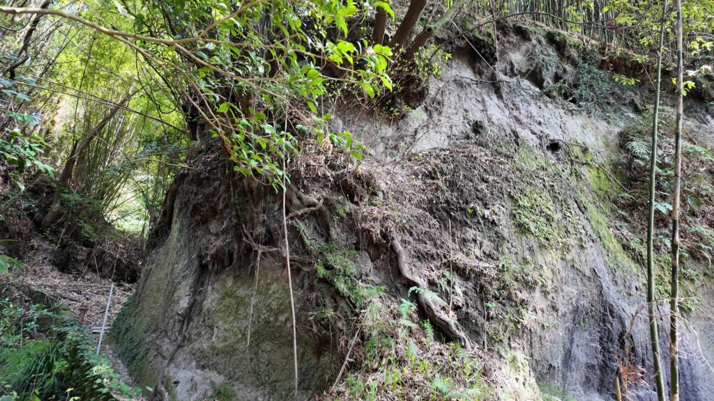
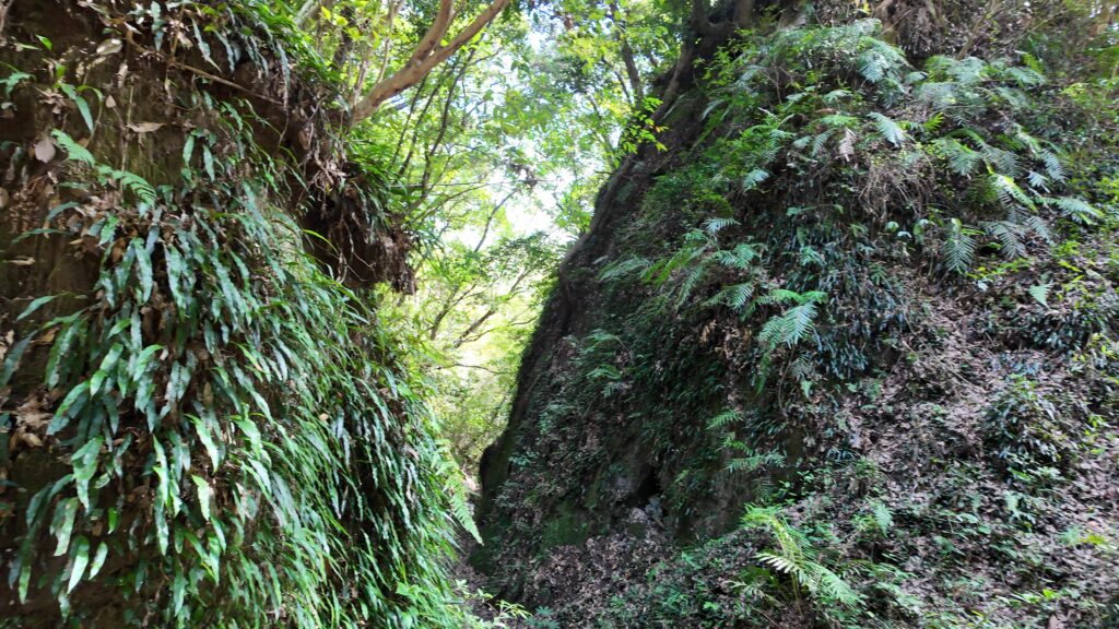
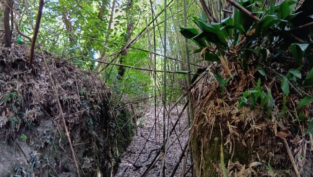
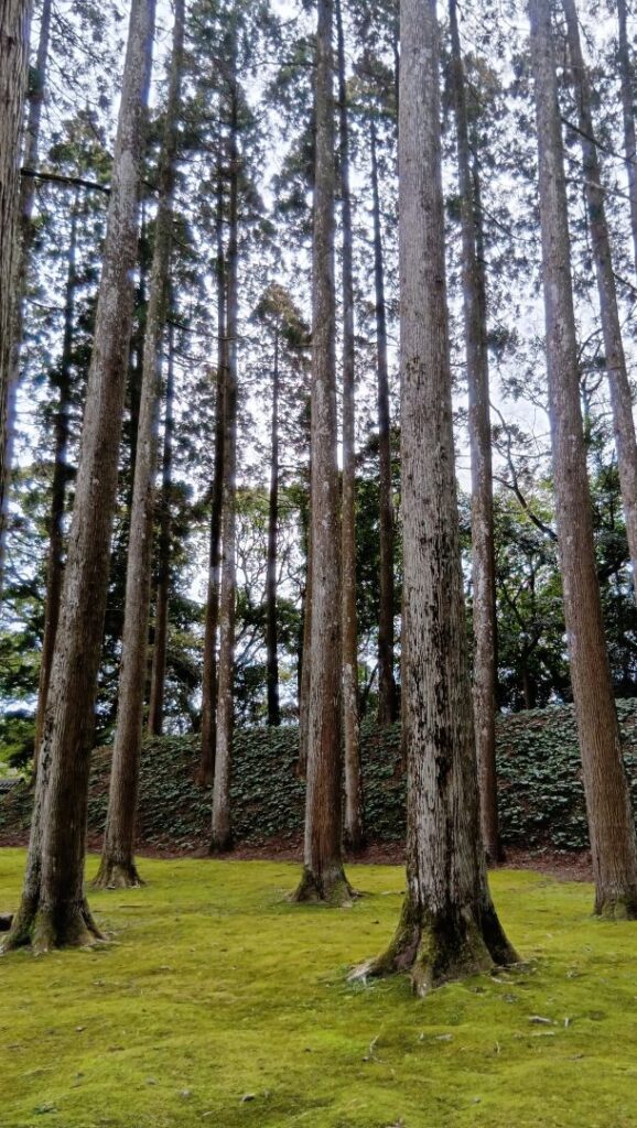
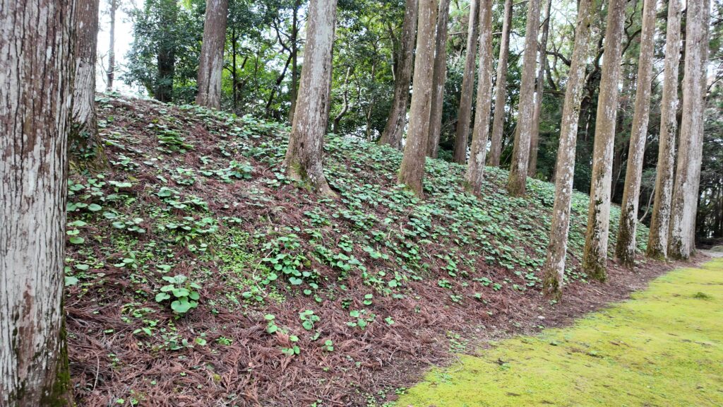
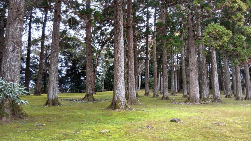
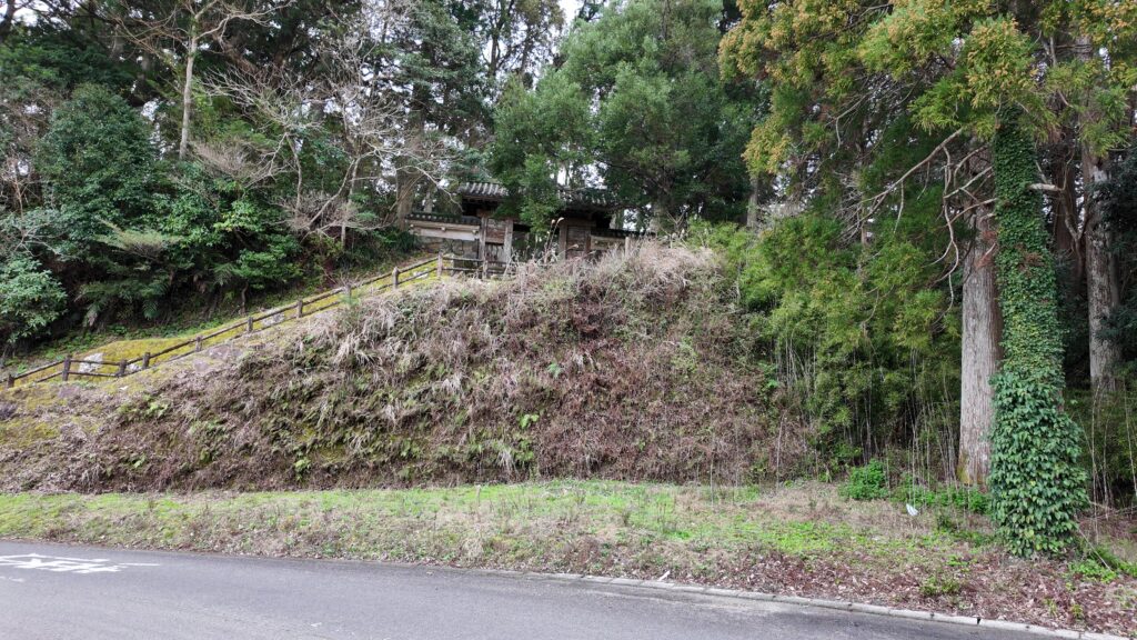
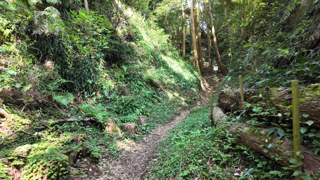
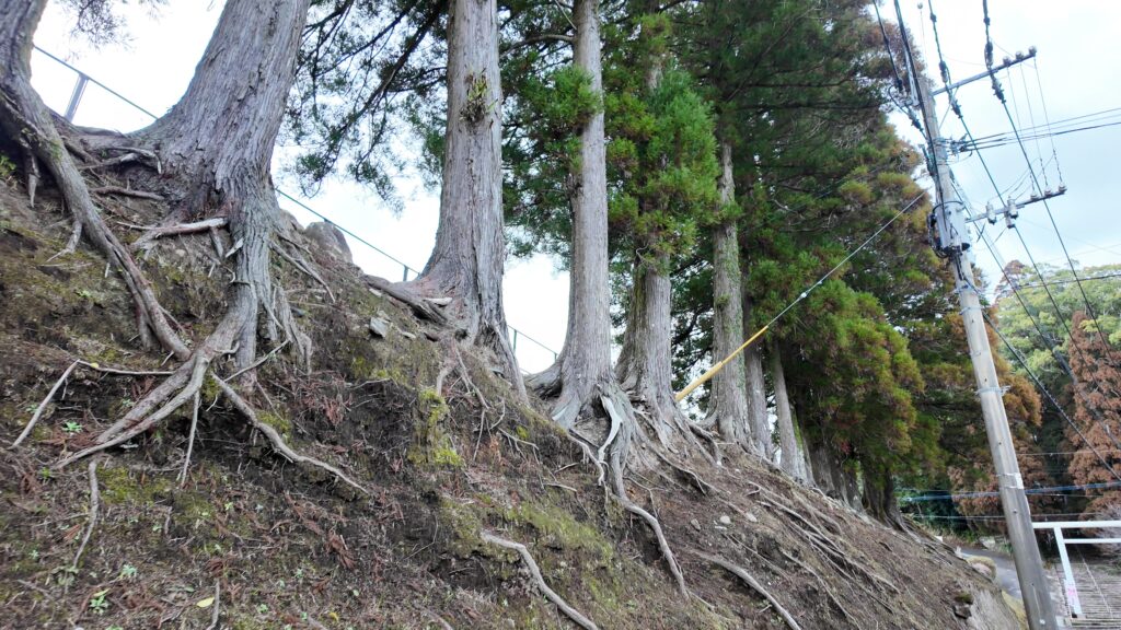
本丸に行く前にまだ寄り道します。急に世界が変わった感じです。どこまでも伸びる飫肥杉に、地面は絨毯のように苔むしています。この奥に、土塁が残っているのです。戦国時代以来の城の様子を表すとされています。
この大手門西側の土塁は、高さが約4メートルあるのですが、最初に見た空堀の底からだと、かつては約16メートルもあったそうです。
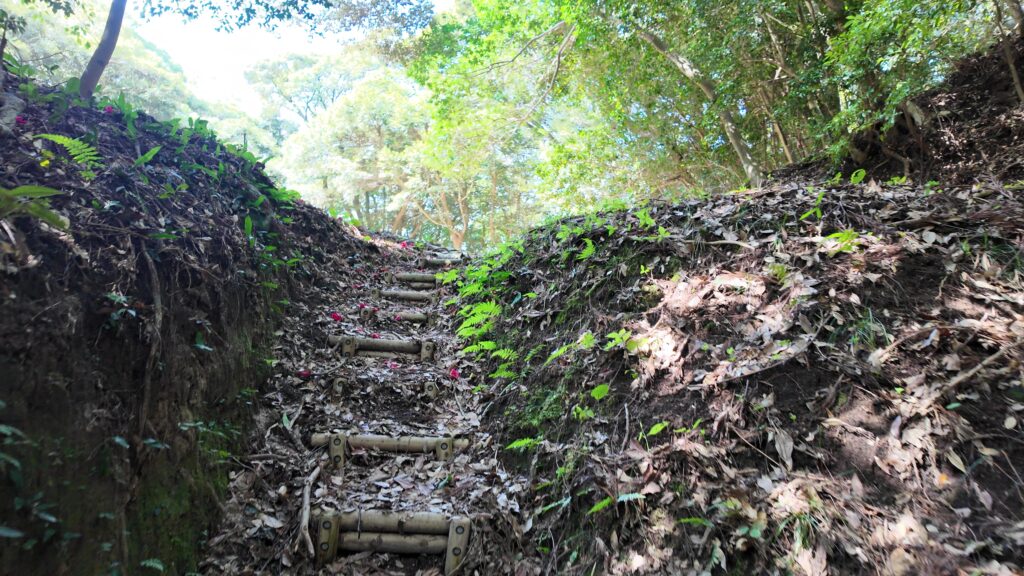
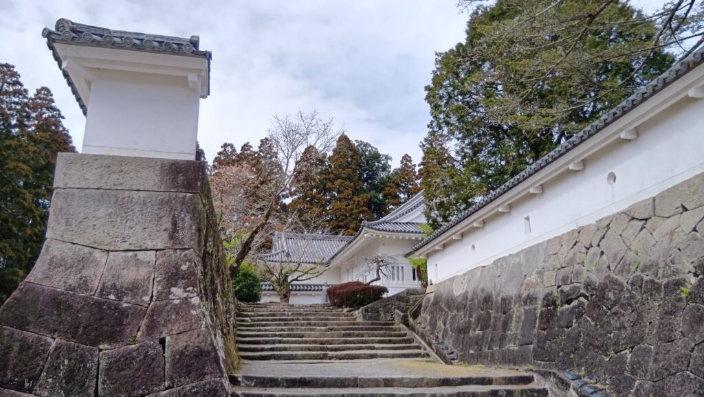
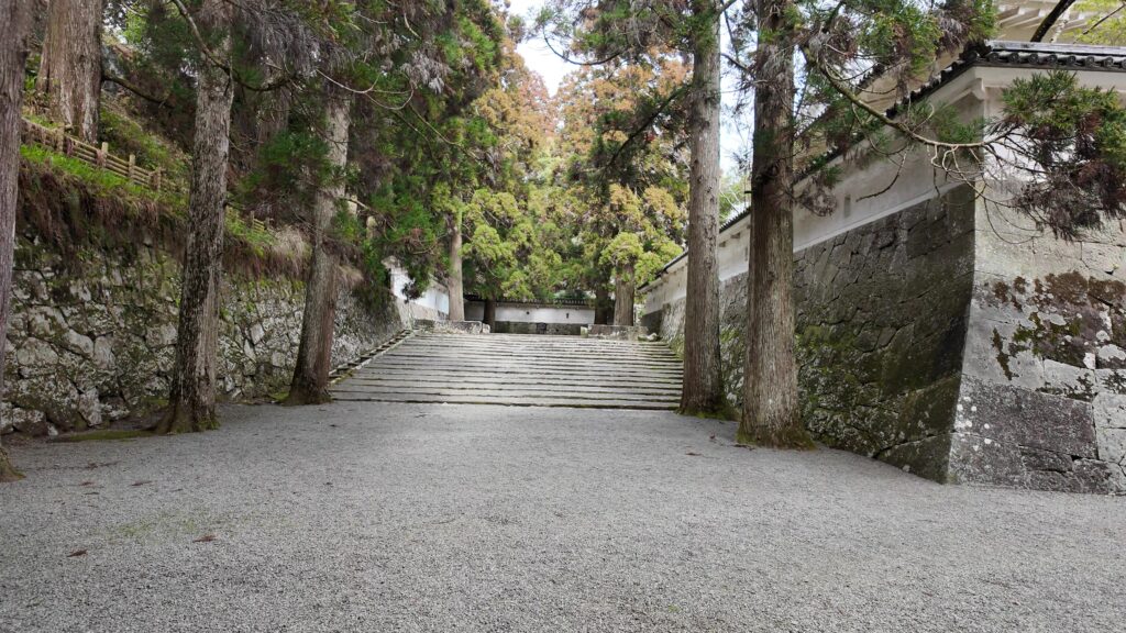
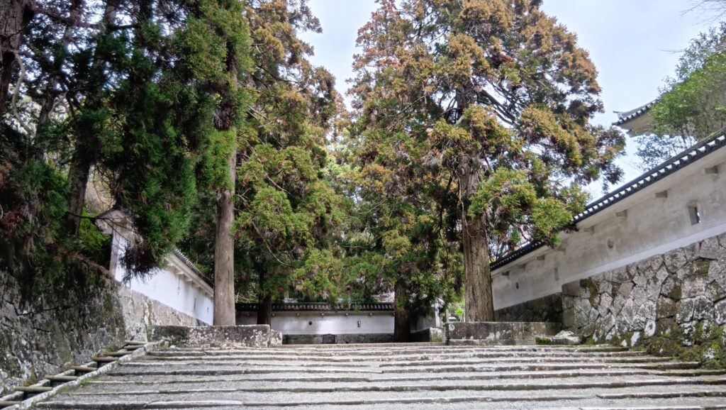
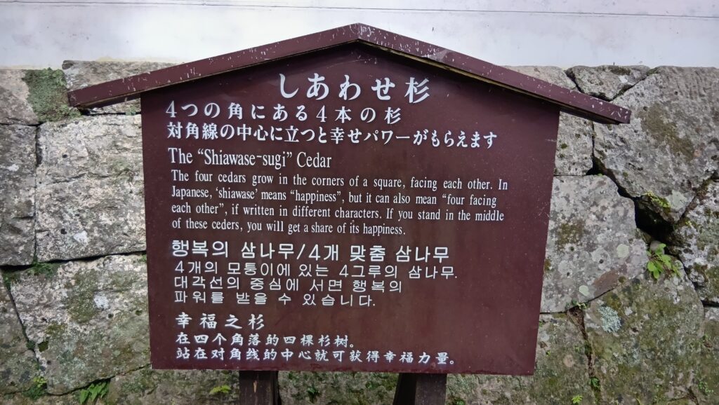
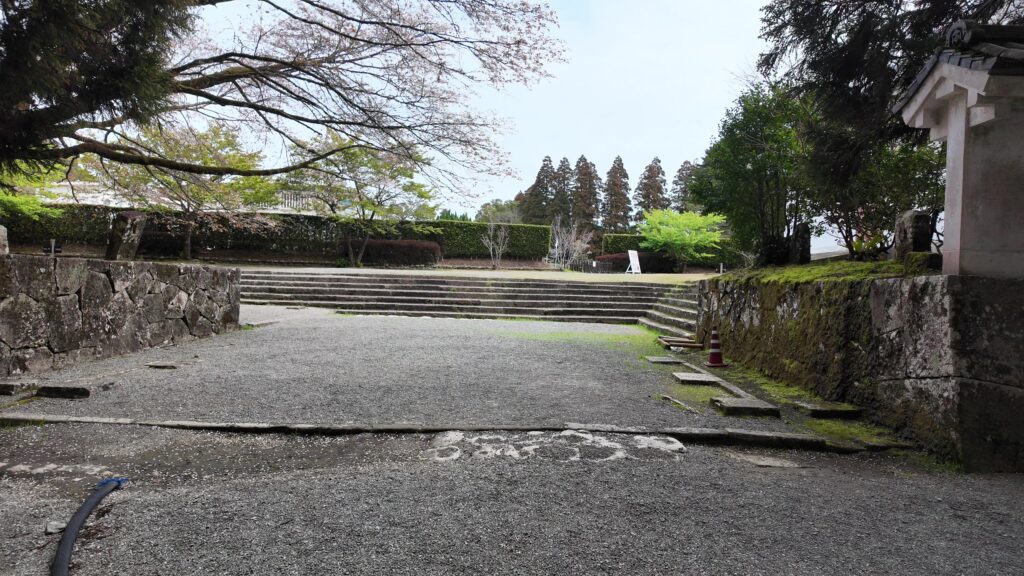
本丸に向かいましょう。石垣はまだまだ続きます。左側の松尾の丸の古い石垣も注目です。広い石段を歩くのが気持ちいいです。また門の跡があります。ここも枡形になっていました。最近では、枡形の隅にある4本の杉の対角線の中心に立つと、幸せパワーをもらえるというパワースポット(しあわせ杉)になっています。
本丸~シラス台地の痕跡
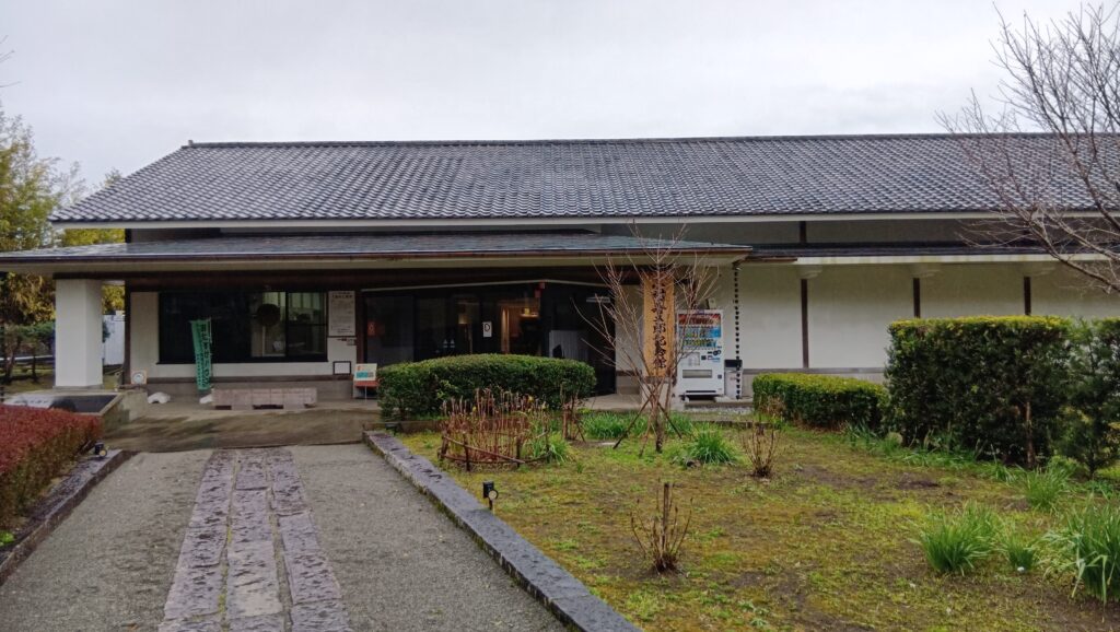
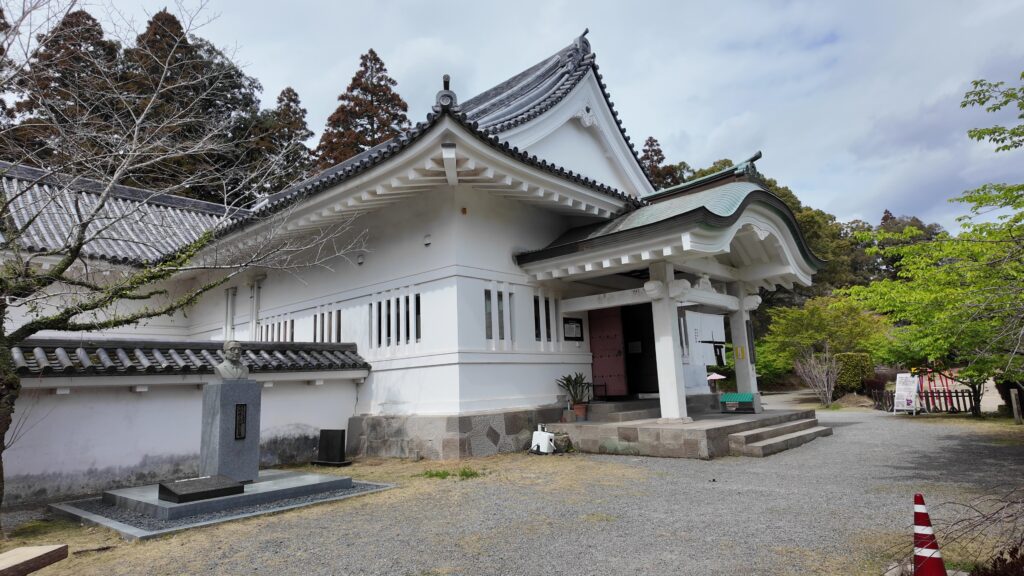
本丸枡形の出口には、すごい櫓門がありました。その先には本丸御殿がありました。そこは今は学校になっていますので、ビジターが行けるスポットとしては、右手の飫肥城歴史資料館があります。伊東氏や飫肥藩、そして飫肥場や城下町についての展示が充実しています。
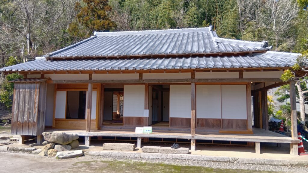
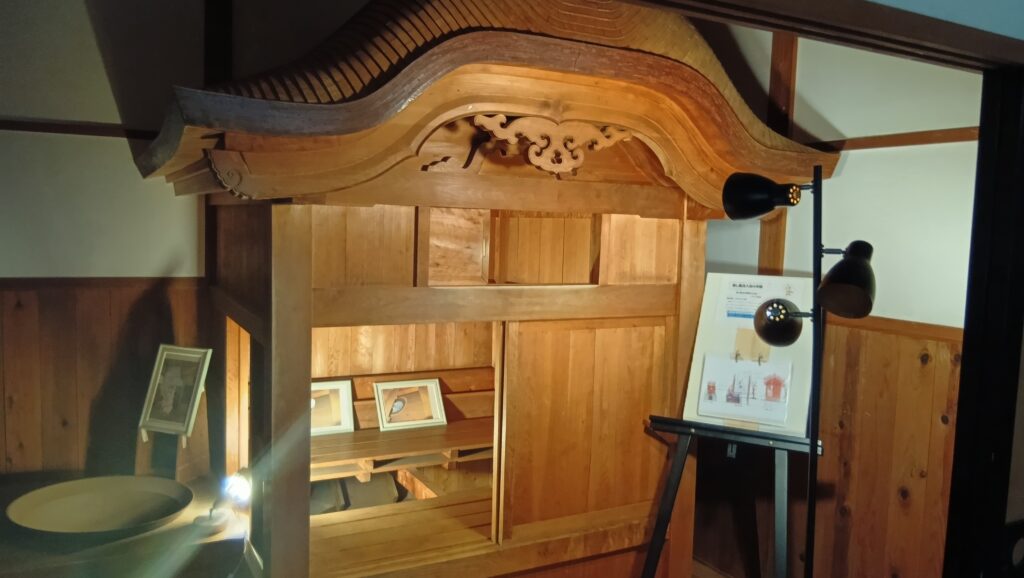
それから、本丸のとなりには松尾の丸があって、石段を登っていくと、上級武士の屋敷が再現されています。面白いのは、蒸し風呂まであることです。
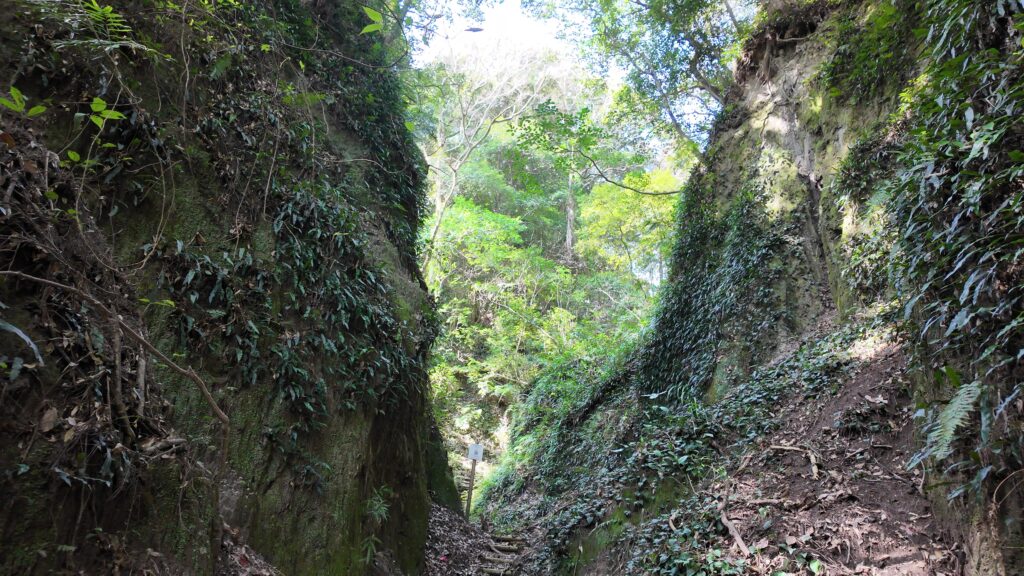
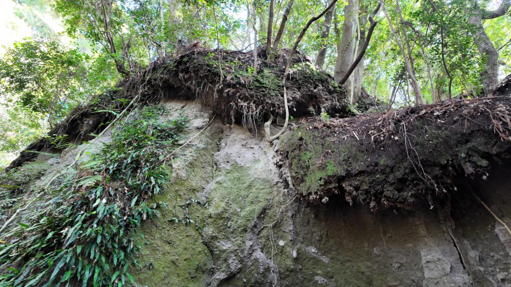
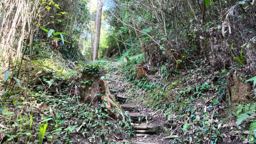
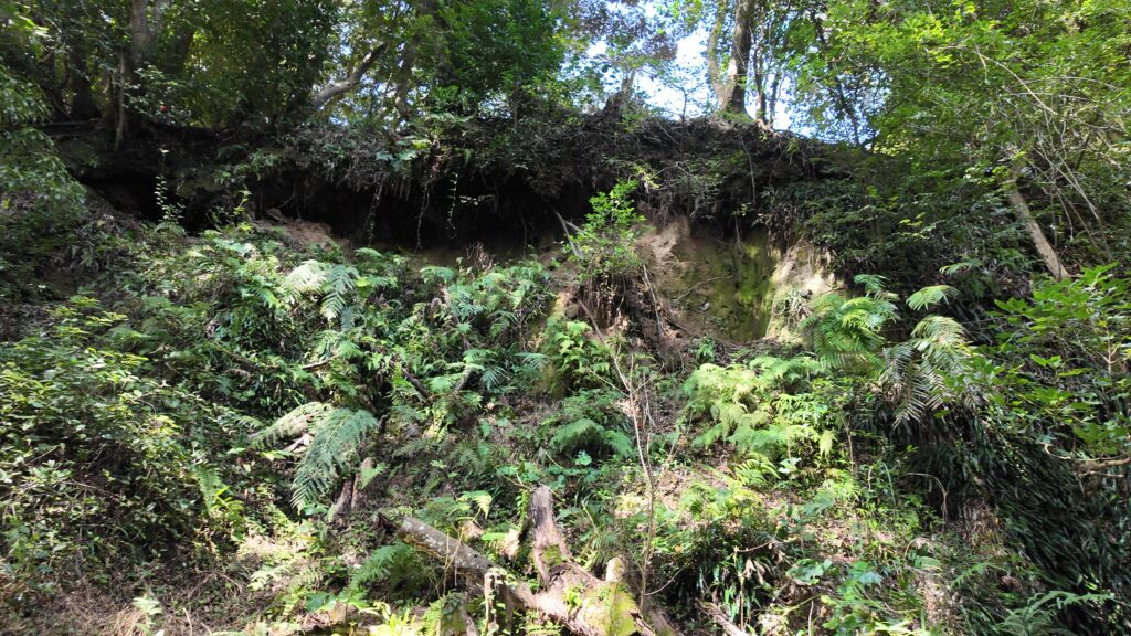
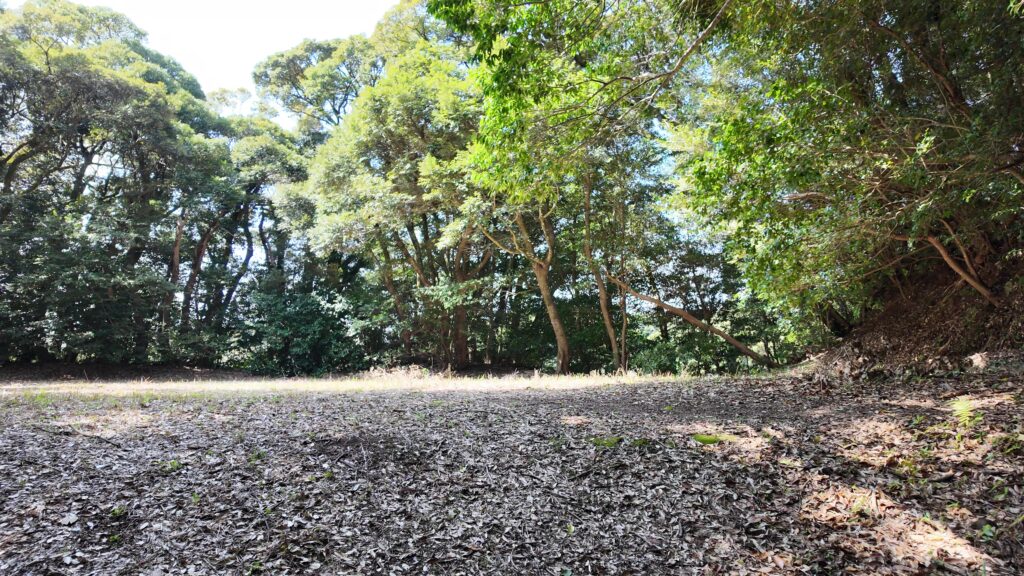
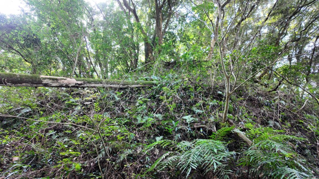
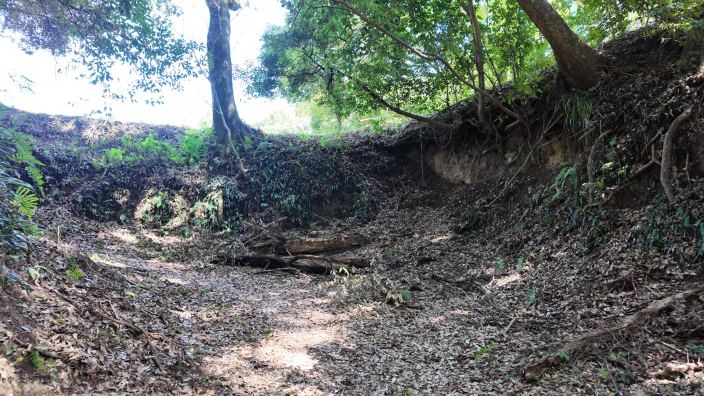
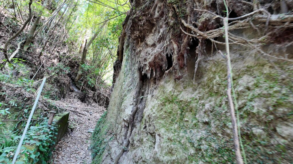
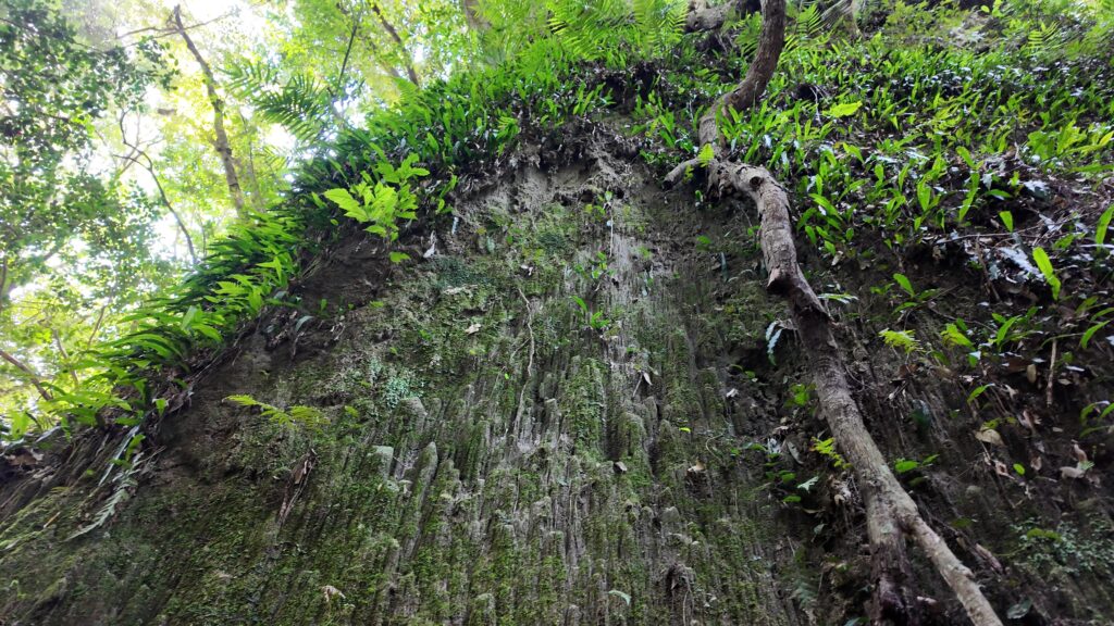
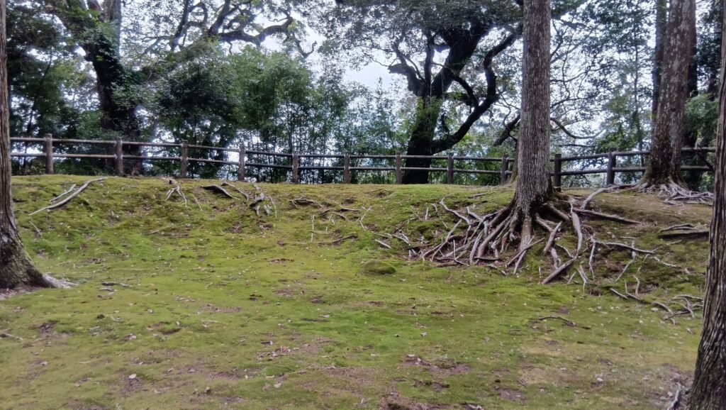
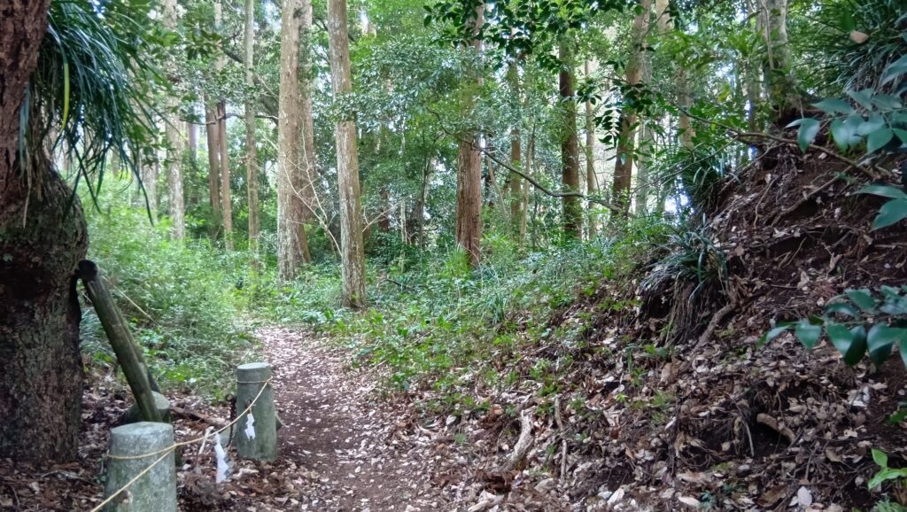
城の遺構としては、奥の方の旧本丸が見どころです。17世紀後半に発生した地震の前までは本丸だったところです。古いだけあって土塁に囲まれているようです。入口の石垣はちゃんと残っています。城内最古級の石垣を、地震の後に修復したそうです。江戸時代初期には門がありました。さすが、ここも枡形になっています。しかも、その枡形の石垣が苔むしています。
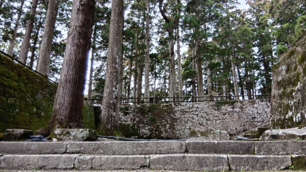
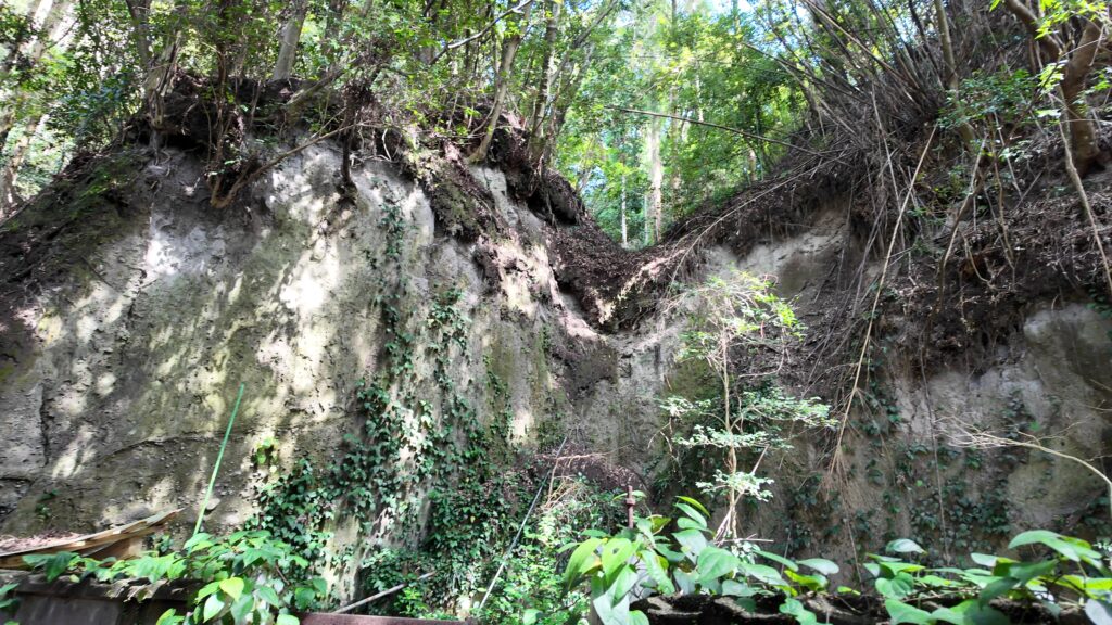
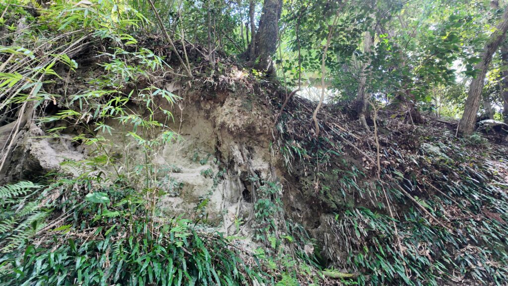
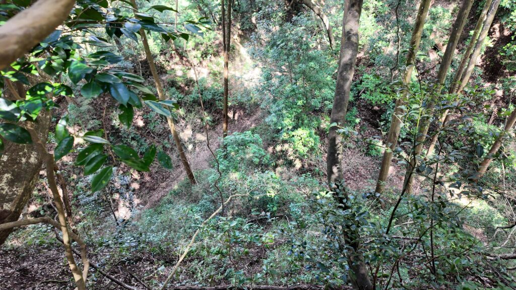
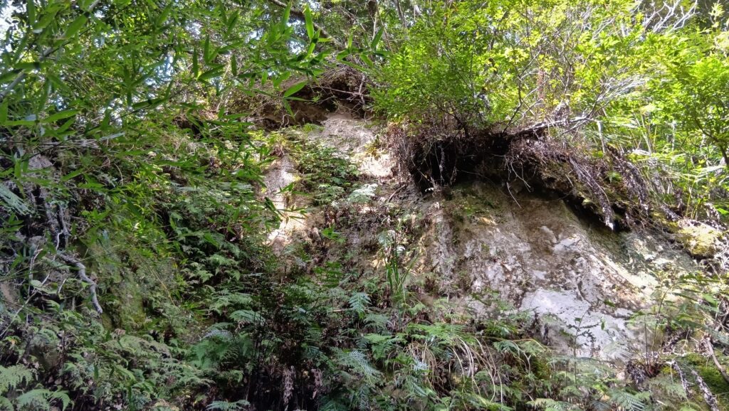
中に入ってみると、やっぱり飫肥杉と苔の絨毯です。ここもすばらしいパワースポットです。ここはシラス台地なのだから、周りはどうなっているのかというと、やはりすごい崖になっています。それでも、しっかり土塁で固めています。さすが伊東氏と飫肥藩です。
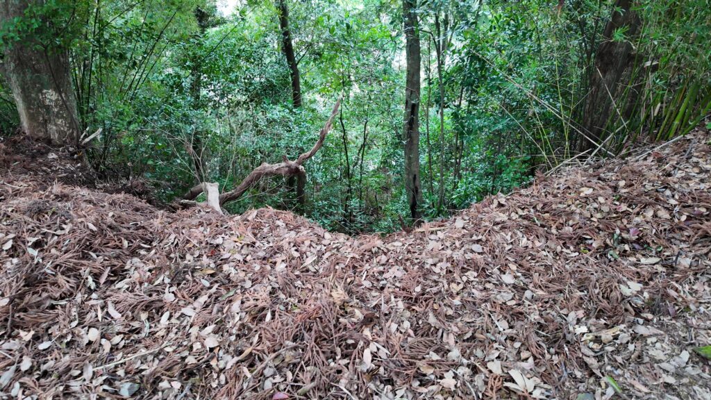
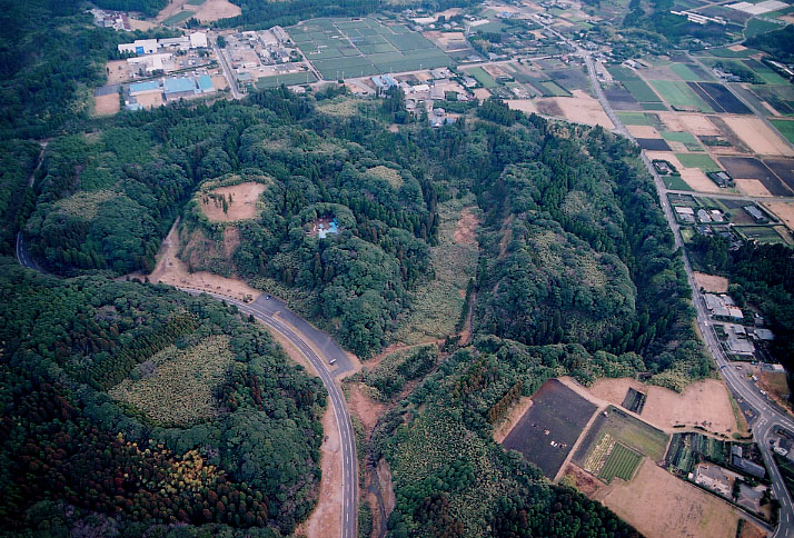
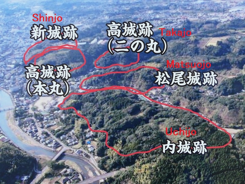
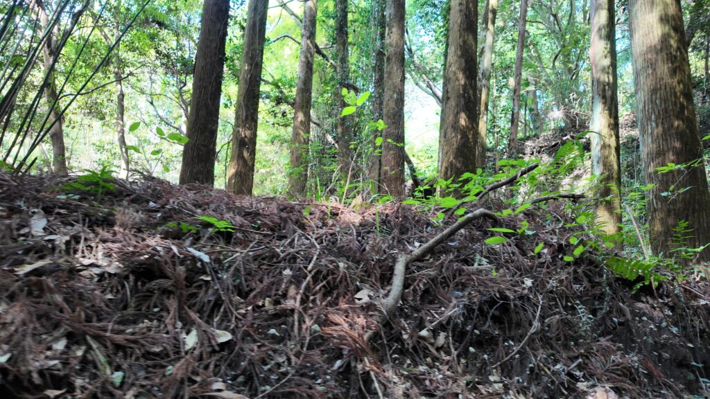
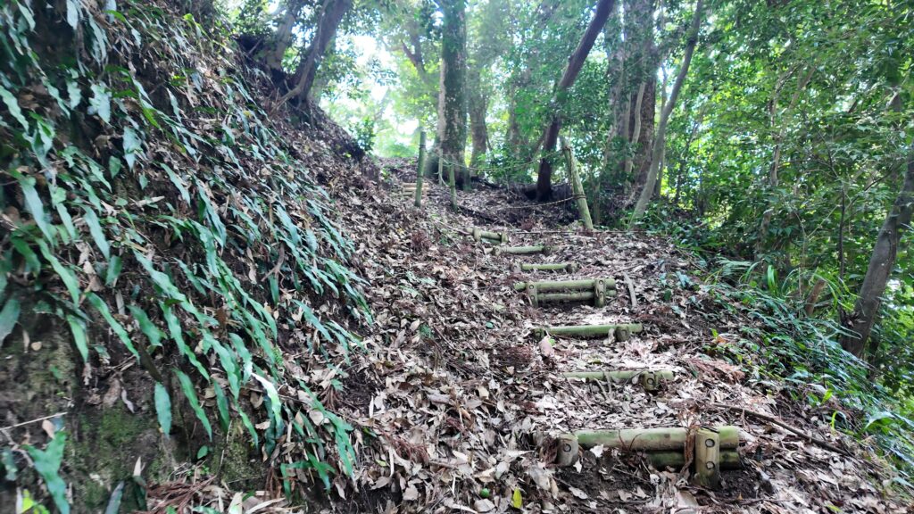
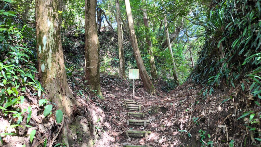
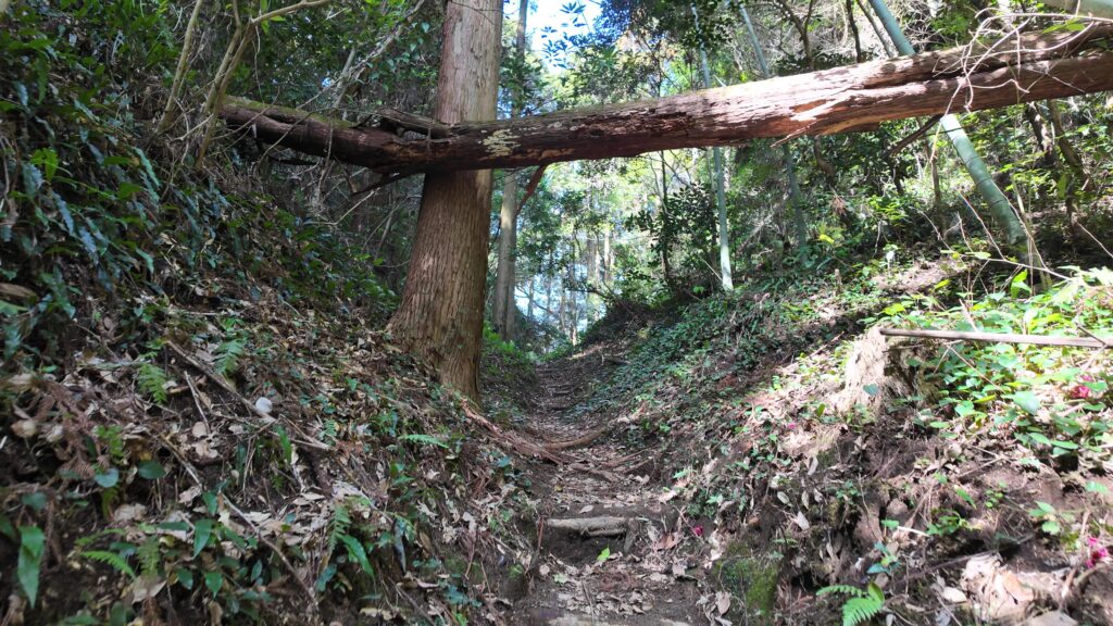
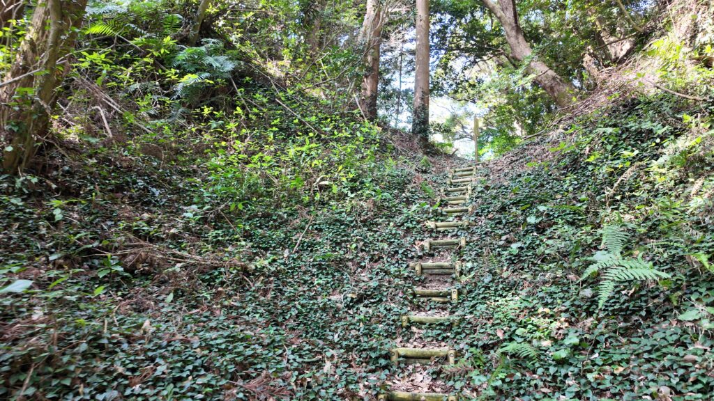
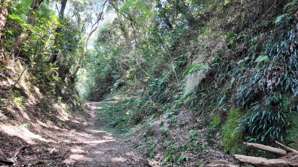
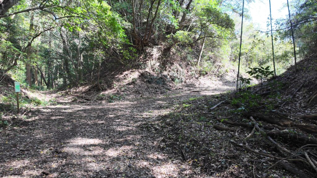
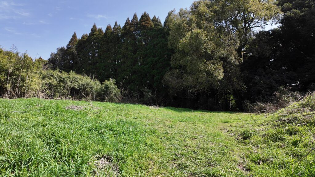
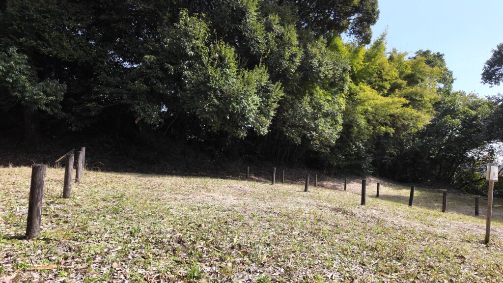
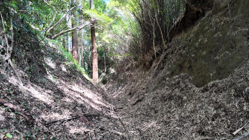
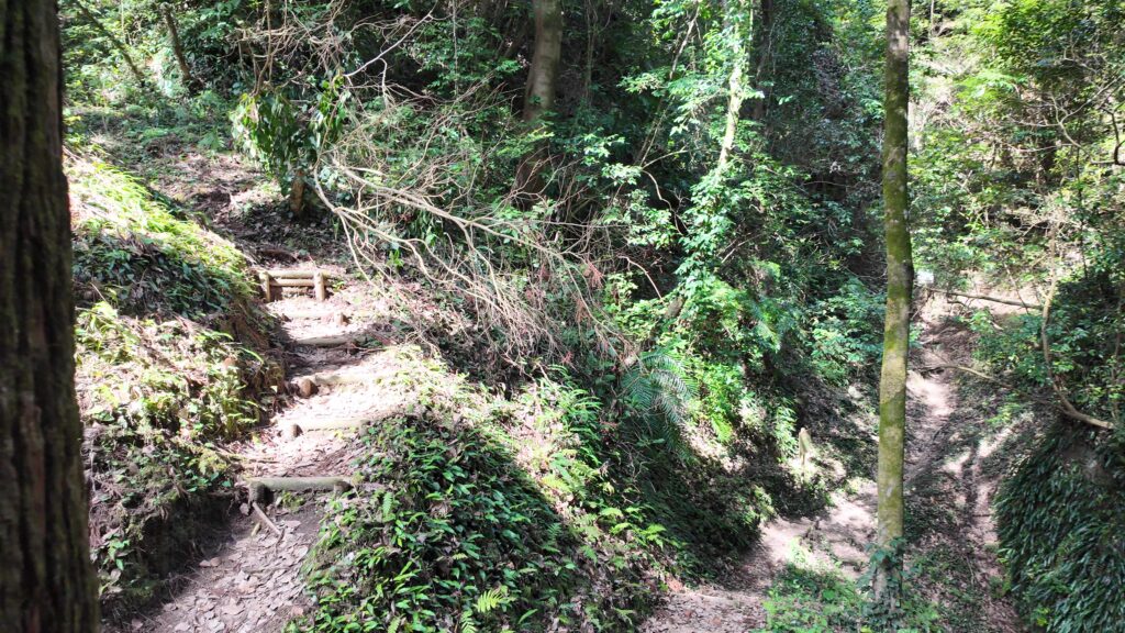
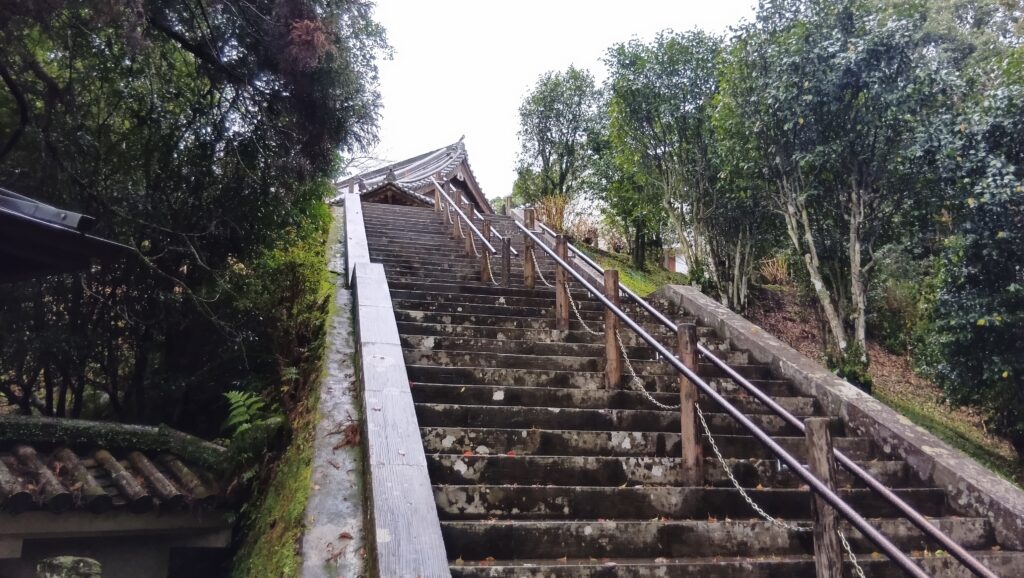
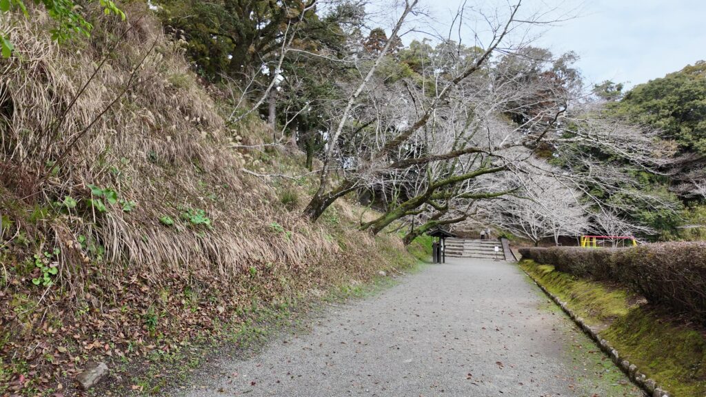
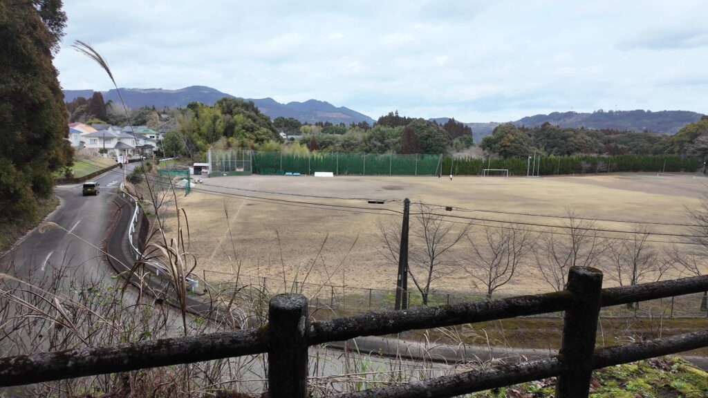
帰りは再建された裏門から出てみましょう。その外は、シラス台地の群郭式の曲輪が続いていました。ところが、意外と開けた景色になっています。北側の曲輪群の多くは、グラウンドや住宅地などとして開発されてしまったのです。ですので、階段を下った先にある道路は、かつては堀底道だったそうです。
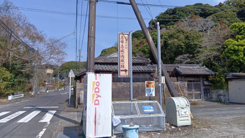
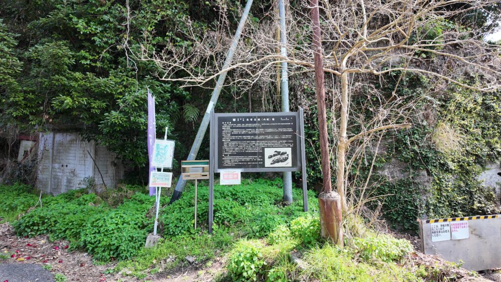
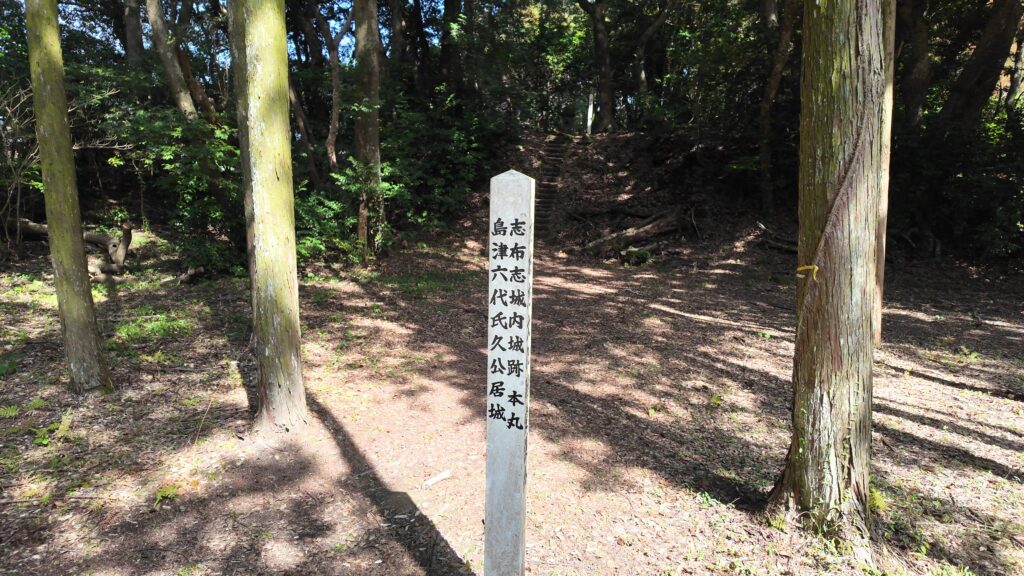
とすると、この辺りは、前回行った志布志城みたいだったのかもしれません。
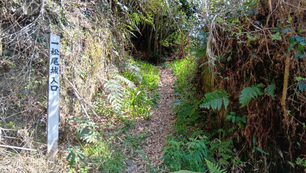
武家屋敷界隈にも痕跡が!
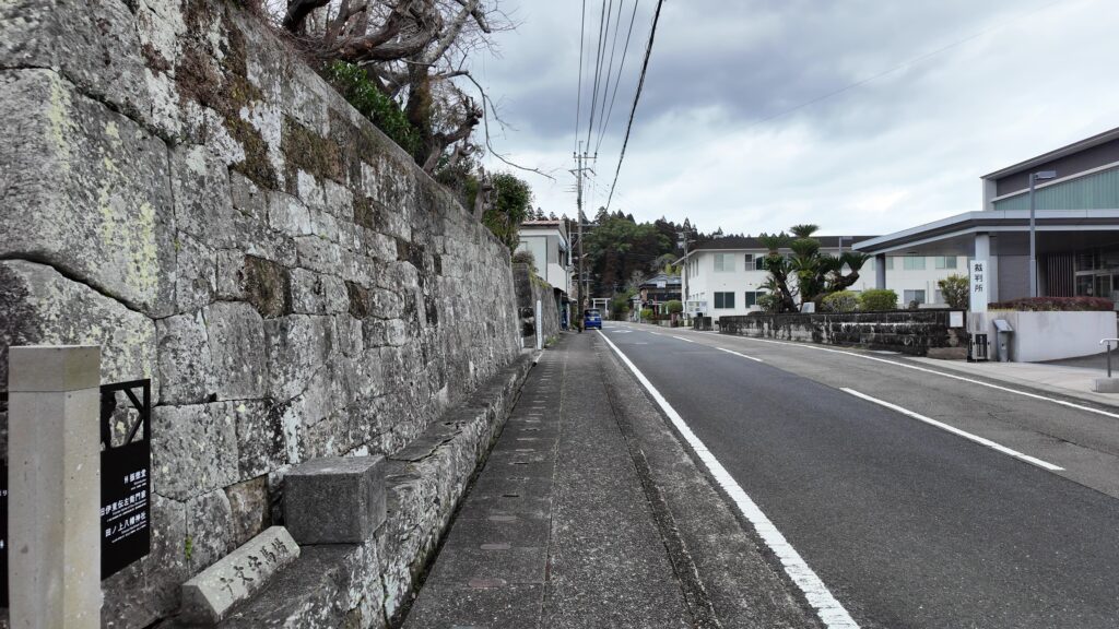
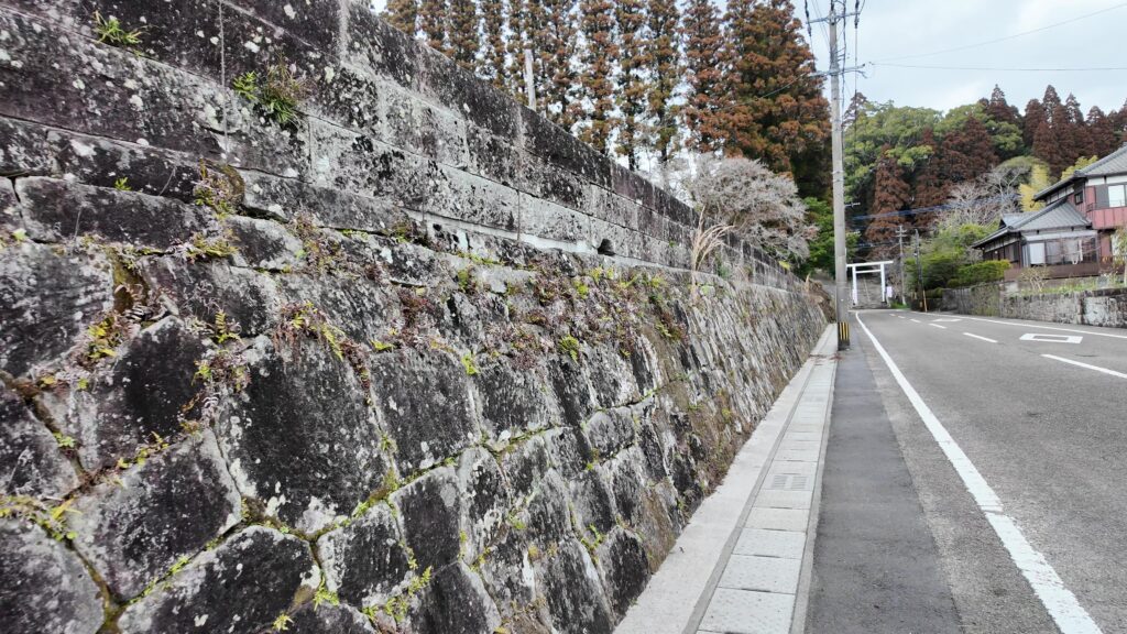
旧本丸から裏手の道を通って、上級家臣が住んでいたところまで戻ってきました。ここから、かつての城の曲輪の一つ、八幡城に行ってみます。今いるところは「武家屋敷通り」として、門構えや石垣を残しています。中身も、御用商人の屋敷を移築して食事処になっていたり、庭園として残されていたりします。
その先を左に曲がって「八幡通り」に入ります。この角地にある石垣は立派です。この中では、文化財になっているお屋敷がホテルになっています。
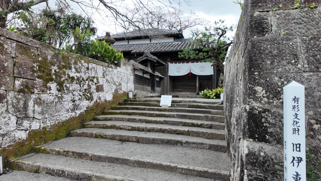
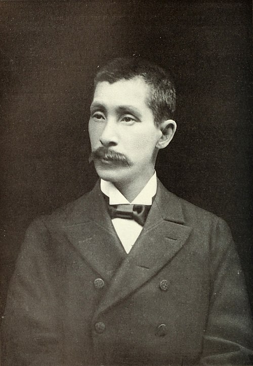
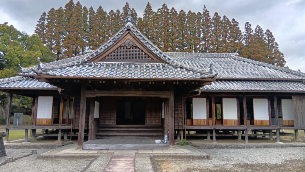
その先にも重要な建物があります。藩校の振徳堂が、修復・復元されているのです。小村寿太郎を出した学校です。

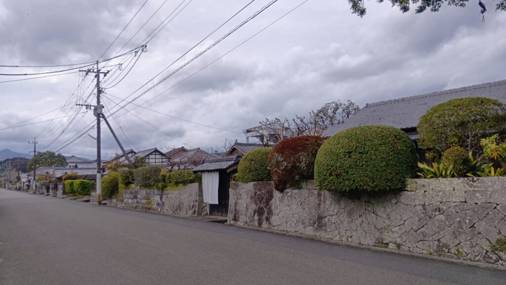
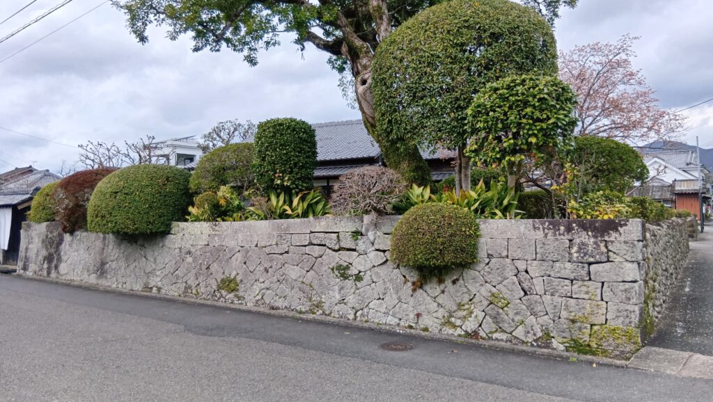
こうやって歩いてみると、町中が石垣で固められています。石垣でなければ、土塁と杉という感じです。
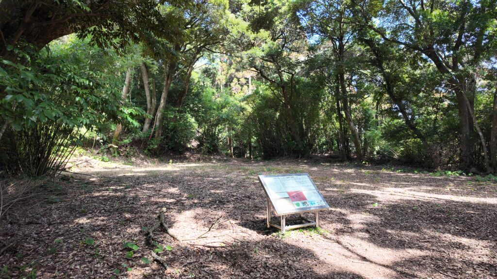
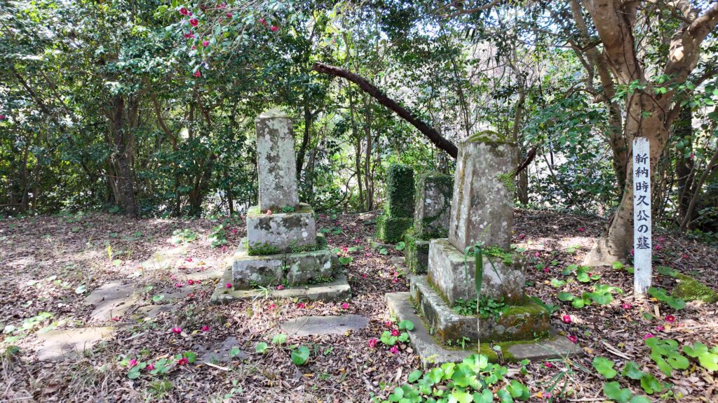
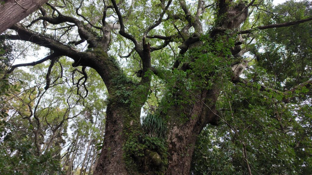
現在は田ノ上八幡神社になっている八幡城に着きました。ここには、興味深いものがあります。まず、伊東祐兵が植えたと言われるクスノキです。飫肥は、杉の前はクスノキの産地だったのです。それから、その奥には空堀が残っています。ここが城の曲輪の一つだった証拠というわけです。ここまで城域が広がっていたとわかる場所です。
通りを反対側に下り、もっと城下町を散策しましょう。
城下町を散策!
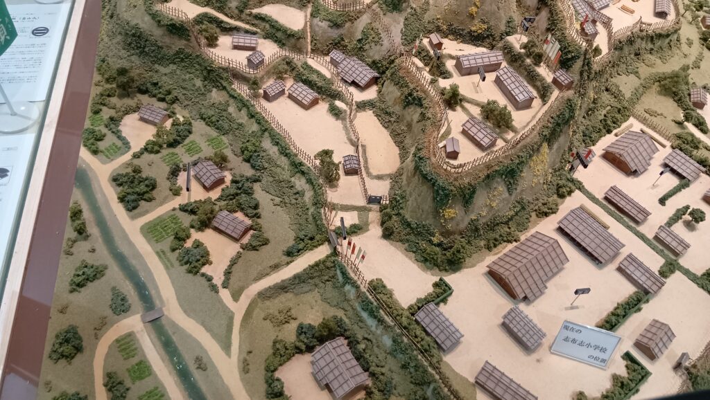
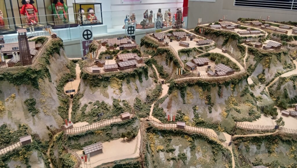
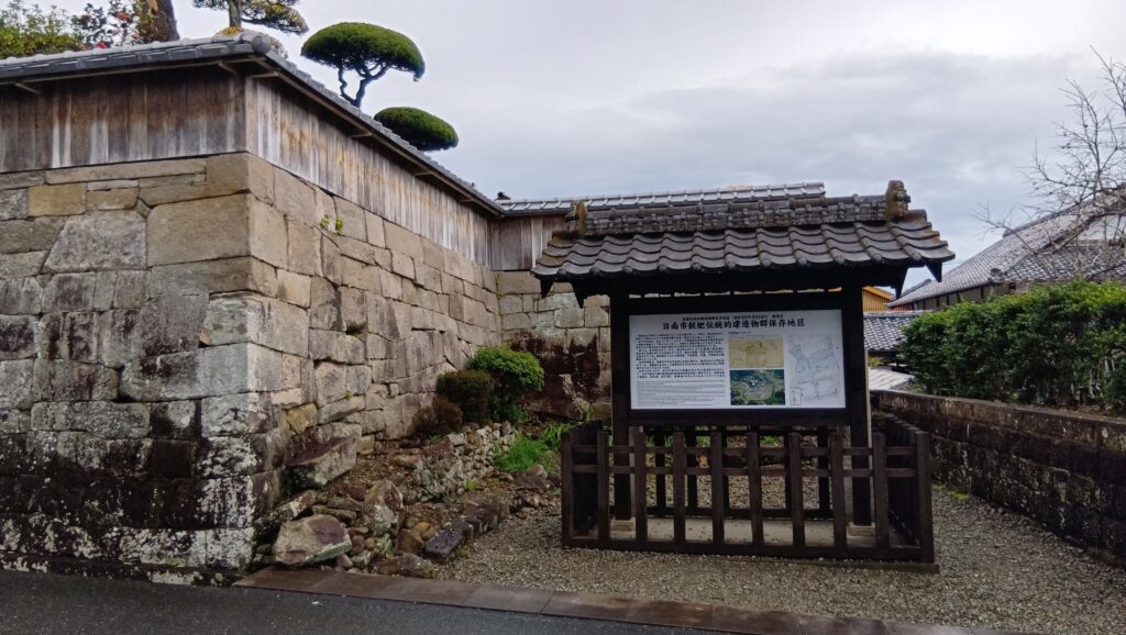
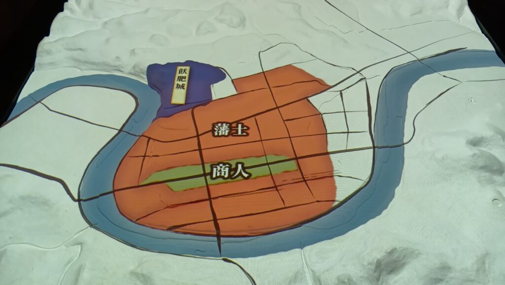
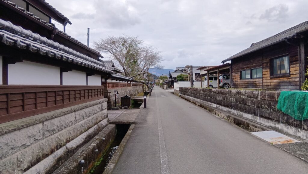
ここで、江戸時代の城下町の構成を確認しておきましょう。真ん中が、商人のエリアになっています。これを、重要伝統的建造物群保存地区の地図に置き換えると、昔の商人エリアがほぼ抜けているのがわかります。
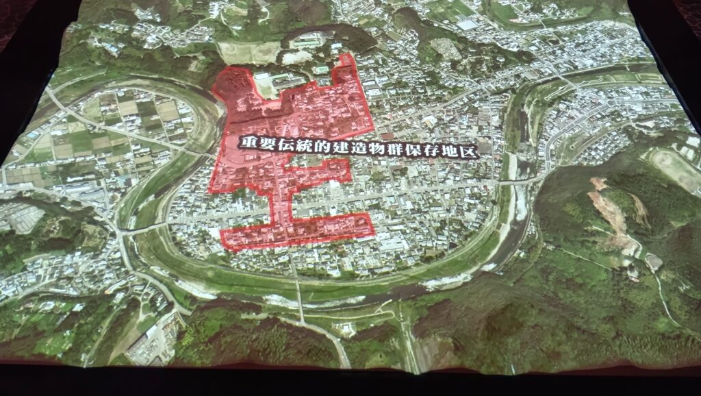
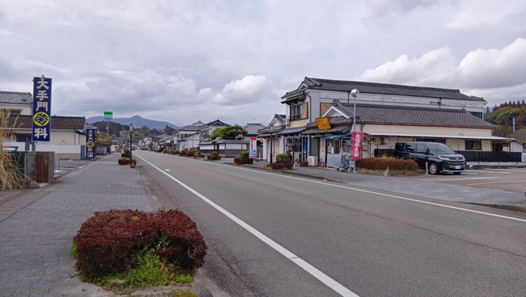
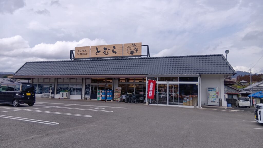
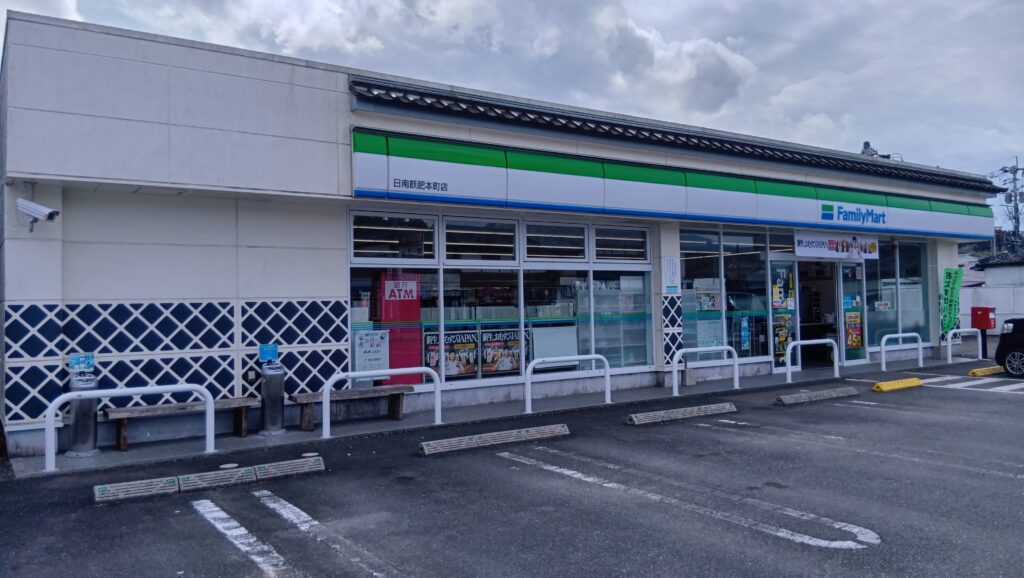
つまり、今でもそこが商業エリア(本町商人通り周辺)になっているのです。それでも、スーパーもコンビニも城下町風にしつらえられています。
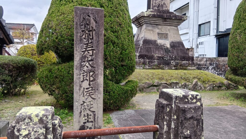
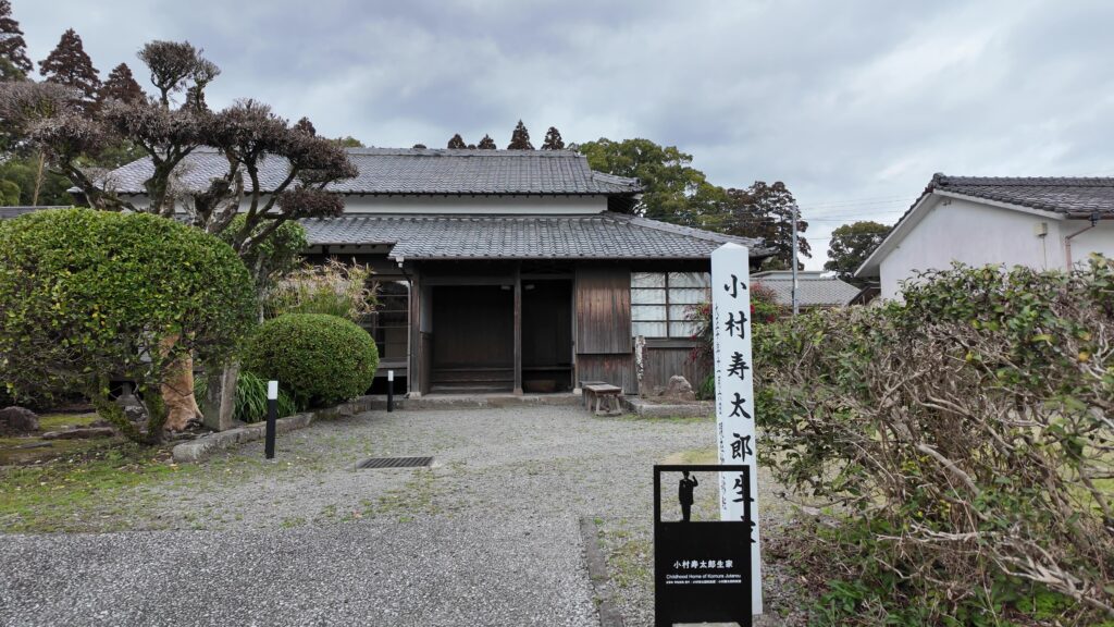
そこから、広く保存地区に指定されていて、中級家臣が住んでいた後町(うしろまち)通りに行ってみたいと思います。その途中に小村寿太郎生誕地があるのですが、その生家は上級家臣の「武家屋敷通り」に移されています。建物までも出世したのです。
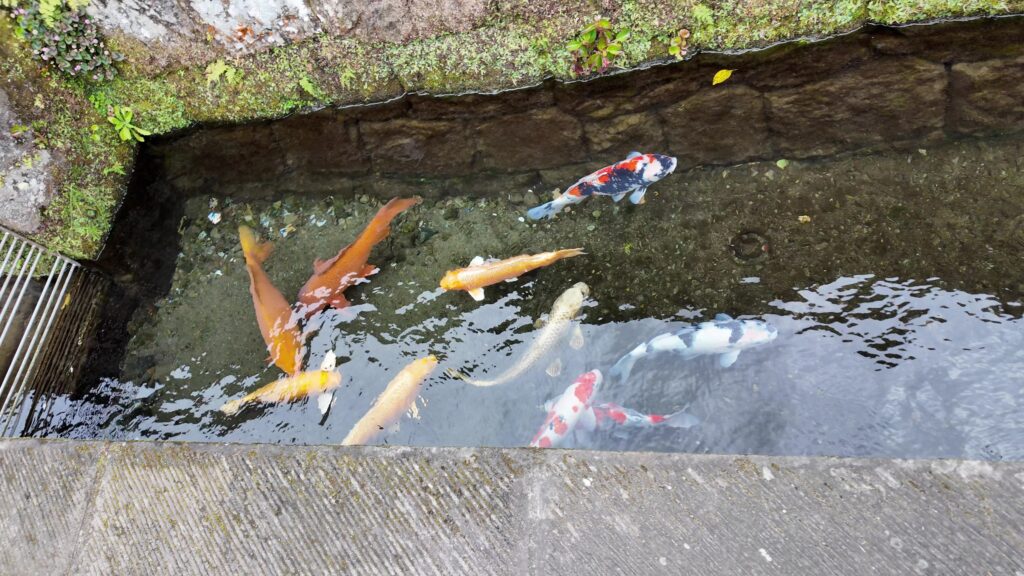
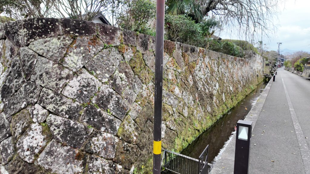
後町通りに来ました。ここも石垣や塀に囲まれていて、武家屋敷があった場所だとわかります。少し歩いてみると、水の音がします。かつては、町中が酒谷川の水を引き入れた水郷だったそうですが、水路を整備してその面影を復活させたのです。水路では錦鯉が泳いでいます。城下町の景観にマッチしていて、すばらしいです。
石垣も注目です。自然石を使った「玉石積み」というのもあります。ここはまさに「石垣の町」です。
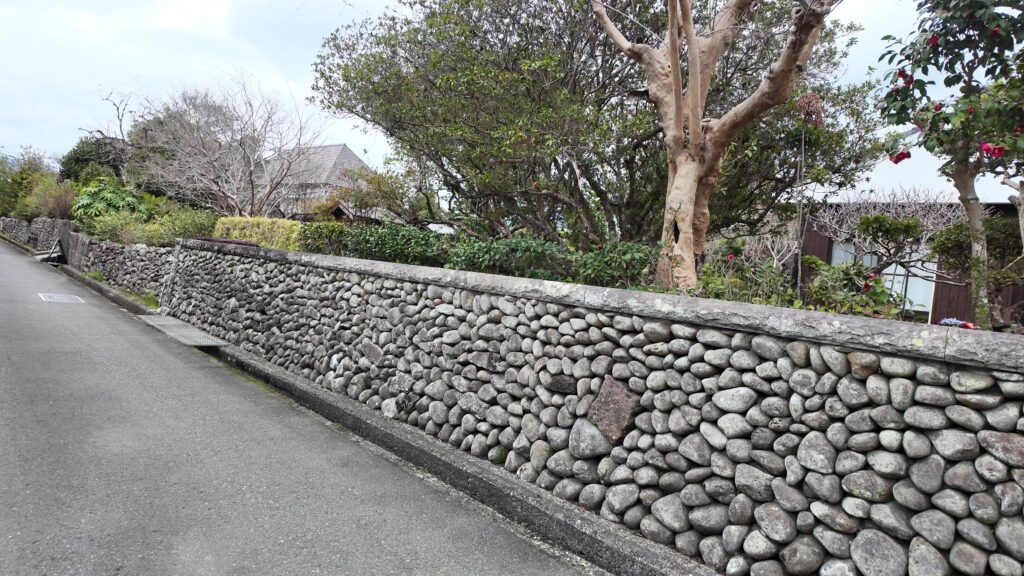
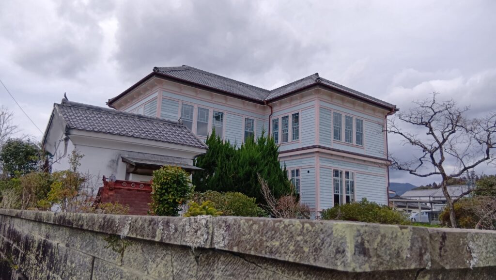
下級家臣や医者などが住んでいた前鶴(まえづる)通りにも行ってみましょう。こちらは、低い石垣に生垣が目立つ造りになっています。藩医だった家が大正時代に建てた洋館もあります。
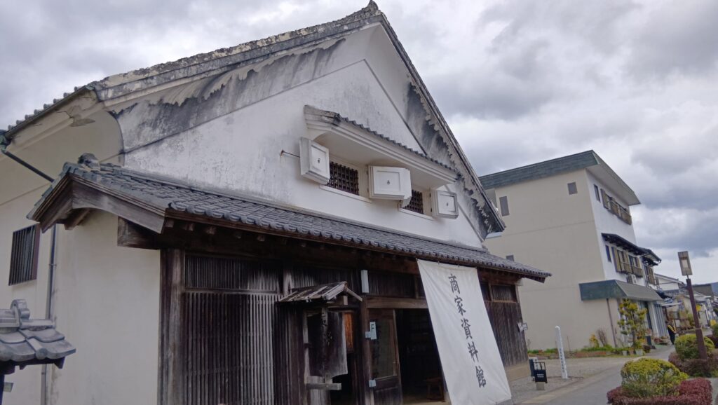
他には、古い商家も点在していますので、行ってみてはいかがでしょう。
私の感想(エンディング)
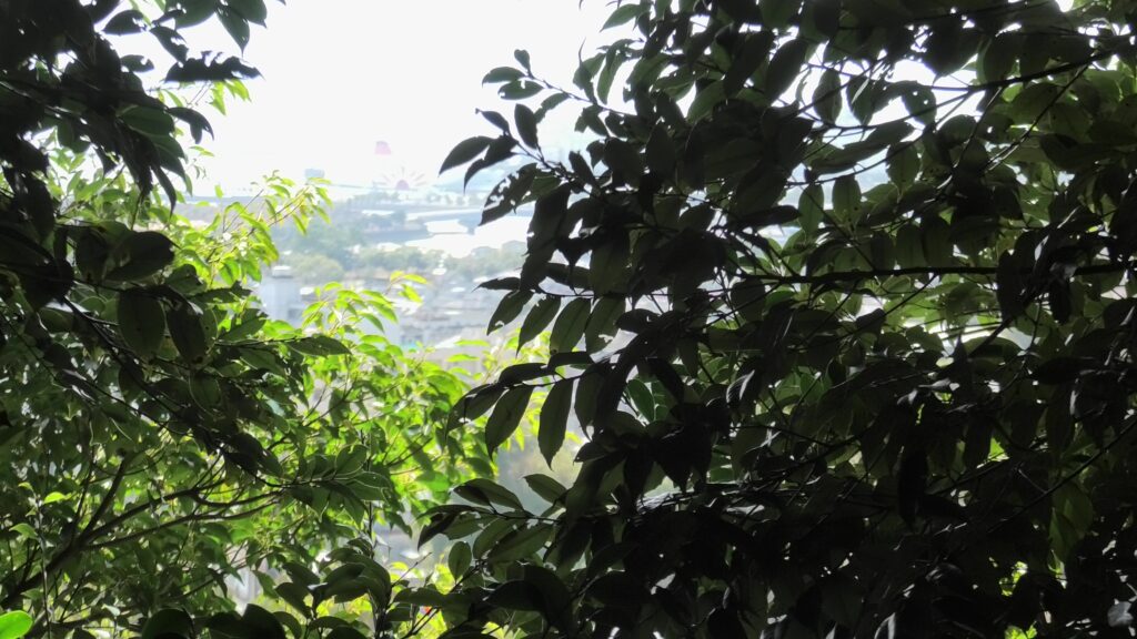
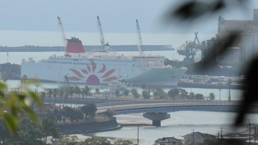
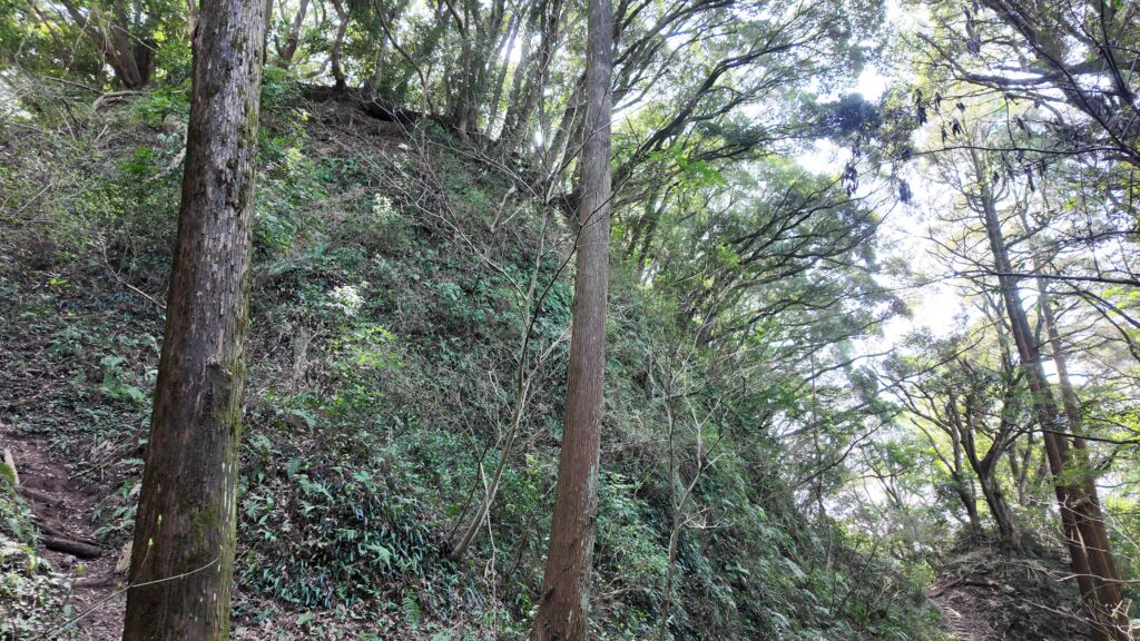
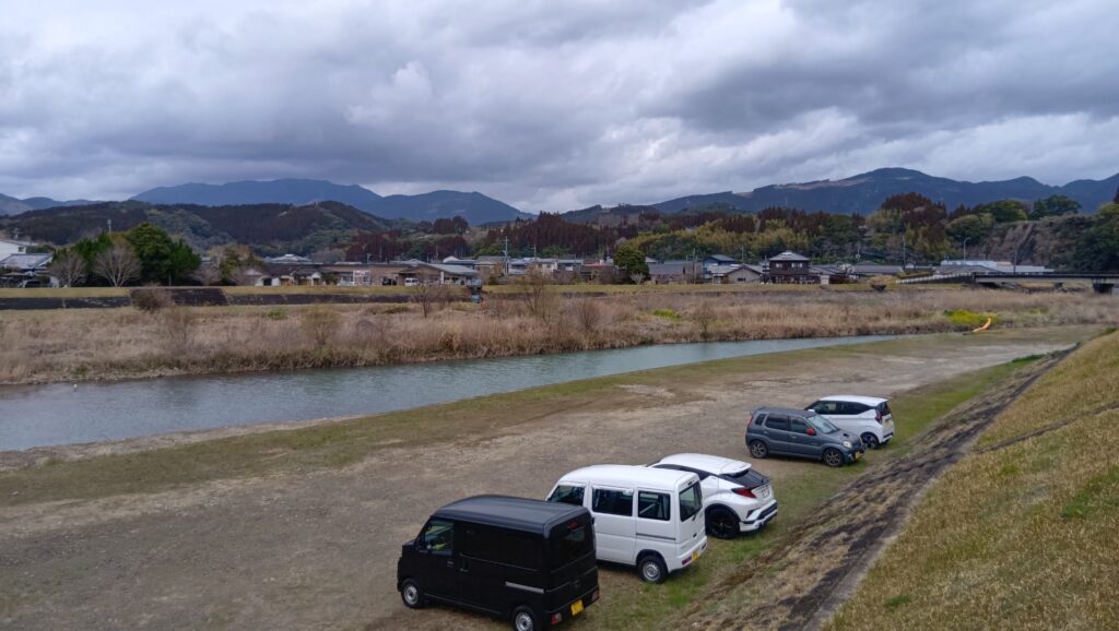
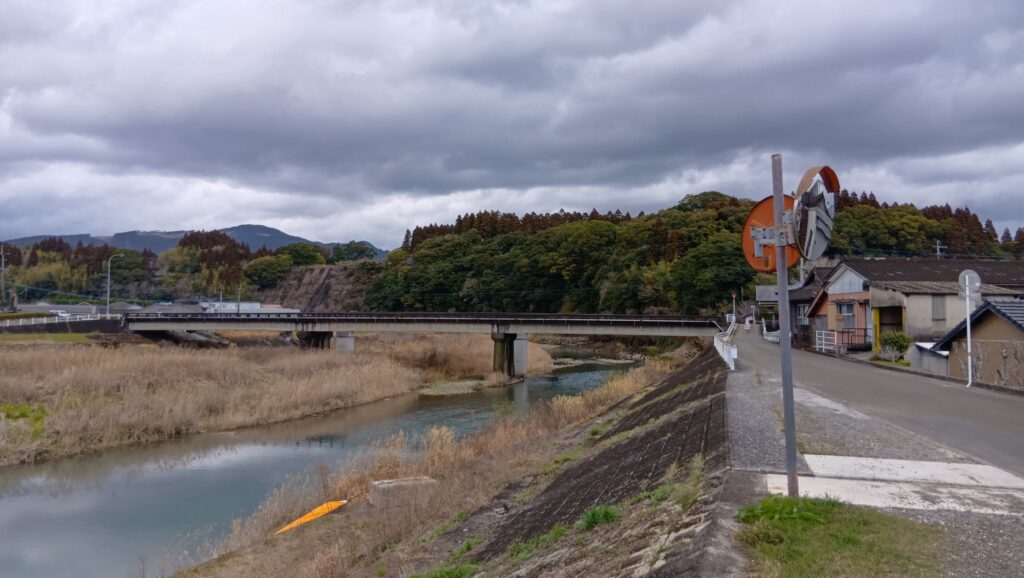
エンディングでは、またシラス台地のお城にこだわってみます。酒谷川沿いを進んで、城の台地が良く見える城之下橋まで来ました。ここから眺めてみましょう。旧本丸から見た崖がすごかったですが、どの辺なのでしょう。木に覆われていてわかりづらいですが、飫肥杉がまっすぐ立っている辺りでしょう。コンクリートで固められているところもあり、川沿いということで、急崖が続いています。改めてシラス台地の城だったことを実感しました。
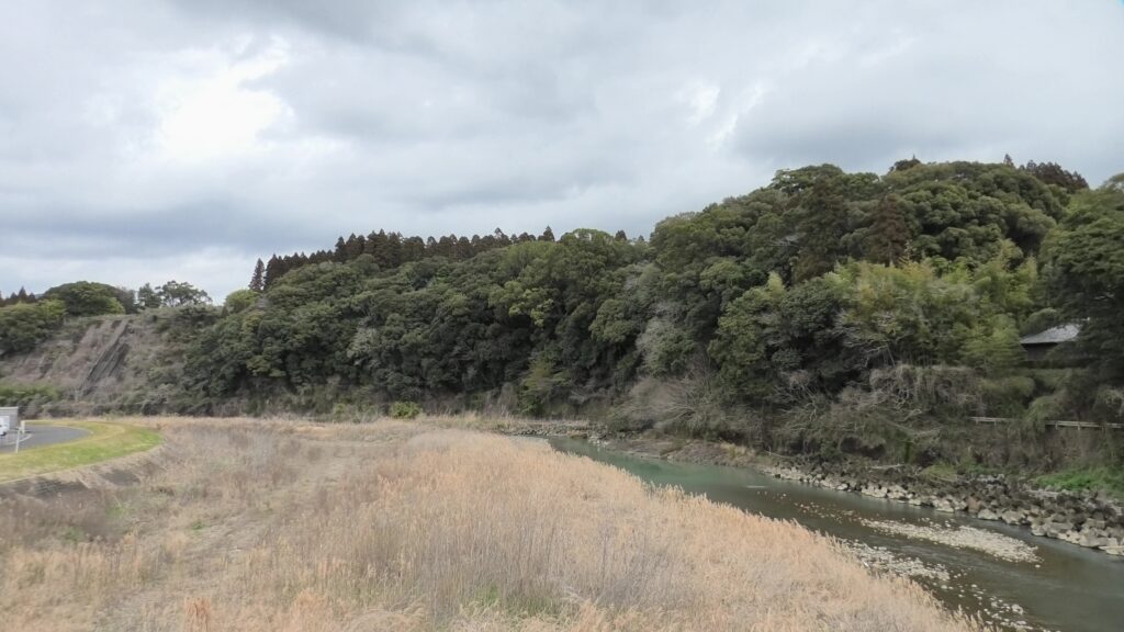
感想として、ここはやはり「伊東氏最後の地」だと思いました。ここしかないと思ったからこそ、シラス台地を石垣や土塁で固めて立派に仕上げたのです。城下町も城と同じようなつもりで作ったのではないでしょうか。
リンク、参考情報(追加分)
・「日南市の「飫肥城跡(おびじょうあと)」を紹介!!~宮崎文化財めぐり」MCN宮崎ケーブルテレビYoutube公式チャンネル
・「飫肥」~「外城の町並み、麓の町並み」ウェブサイト
・「飫肥城下町の町並み」~「古旅、日本の古い町並み」ウェブサイト
・「飫肥」~「町のかたち、村のかたち」ウェブサイト(「うしろまち」の読み方など)
・コトバンク「前鶴」(「まえづる」の読み方)
・「飫肥 重要伝統的建造物群保存地区」日南市教育委員会パンプレット
・「雨と川が育んだきらめきの歴史」 宮崎県資料
これで終わります、ありがとうございました。