53.Nijo Castle Part2

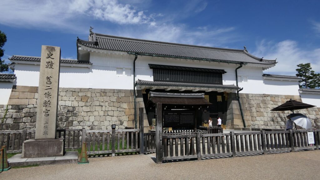
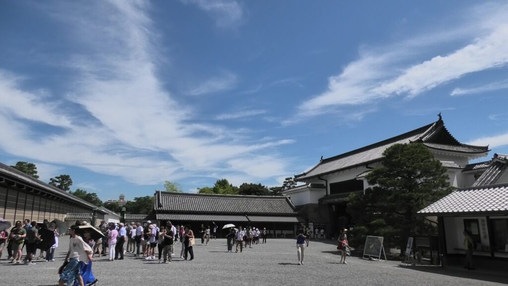
The eastern main gate is the only gate which visitors can use. It looks strict outside, however, if you enter inside, there will be an open space with the remaining guardhouse alongside. This is probably because this gate was the front gate of the castle, which was mainly used when ceremonies were held.

Later History

After the Meiji Restoration, Nijo Castle was used as a villa of the imperial family. For example, a party for the enthronement ceremony of the emperor Taisho was held there. The castle has become a historical site since 1934, named Former Imperial Villa Nijo-jo Castle. The site also became a World Heritage in 1994, as one of Cultural assets of the ancient capital of Kyoto.
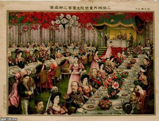
The picture of the enthronement ceremony of the emperor Taisho (licensed by Ninijo via Wikimedia Commons)
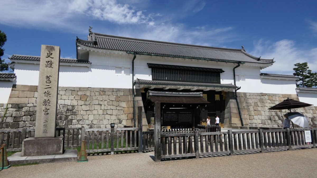
The eastern main gate with the signpost of the historical site

Features

Gorgeous Second Enclosure

The eastern main gate is the only gate available to visitors. It looks strong on the outside, however, if you enter inside, there will be an open space with the remaining guardhouse alongside. This is probably because this gate was the front gate of the castle, which was mainly used when ceremonies were held.
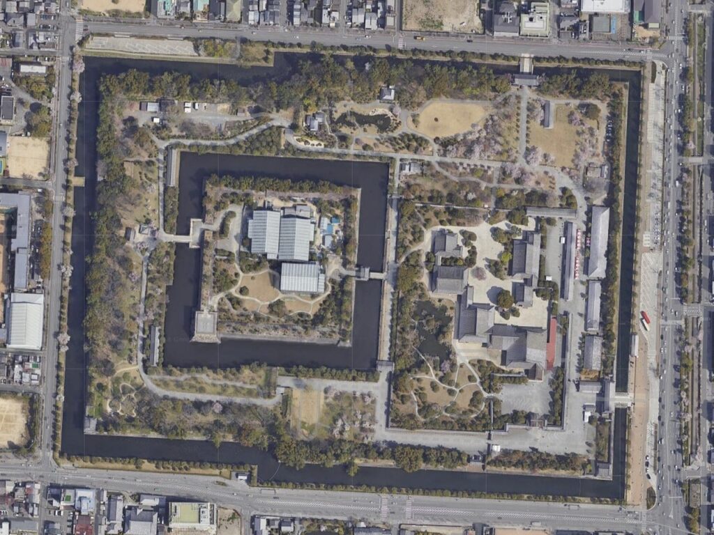
The aerial photo of Nijo Castle, the eastern main gate is located at the lower right of the map (Google Map)
The inside of the gate, the guardhouse is in the back

If you turn right at the first corner of the tour course, you will see the Kara-mon Gate (which means Chinese-style gate). It was built with the high sophistication, as the front gate of the second enclosure main hall. It also has lots of golden decorations, which attracts many tourists, particularly those from overseas.
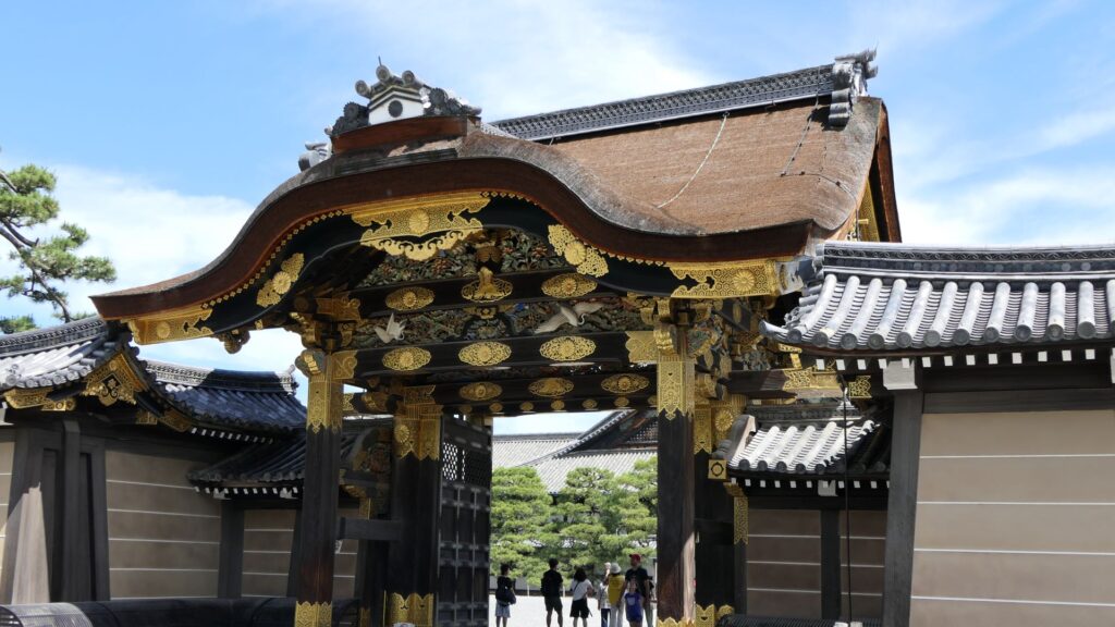
The Kara-mon Gate

The route from the eastern main gate to the main hall through the Kara-mon Gate has been the official one since the beginning. The main hall has been intact since it was renovated for the Kanei Royal Visit in 1626. That’s why it was designated as a National Treasure in 1952, with its gorgeous pictures on its movable sliding doors inside.
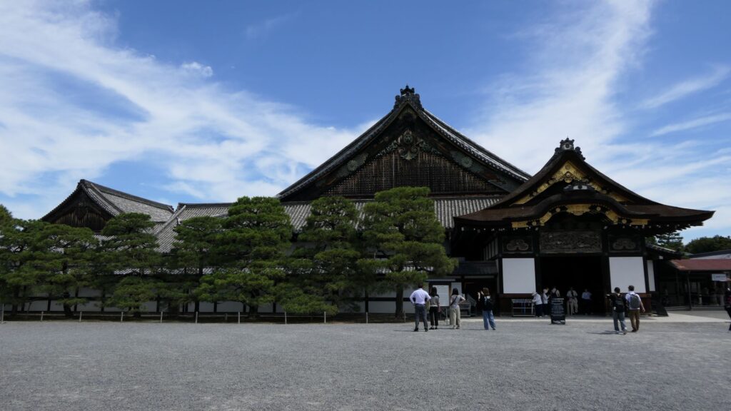
The main hall of the second enclosure

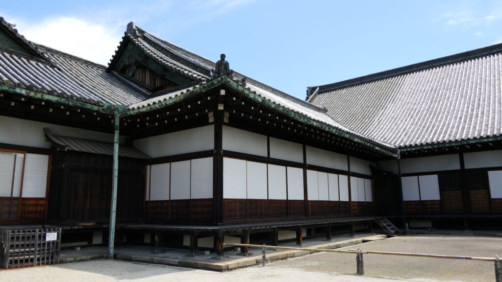
Unfortunately, we can not take pictures inside the hall. Therefore, let me explain to you about each hall while looking at the aerial pictures of the six halls. The hall basically consists of 6 buildings. The first one is the largest one (located on the bottom right of the picture), called “To-zamurai” (which means gate guardians). It was used as the entrance and the waiting rooms, including the special room for the imperial envoys in the back. The hall next to it is called “Shikidai” (which means retainers’ rooms). It was the place for the agency service between the visitors and the shogun. The service was done by Roju (the members of the shogun’s council of elders) who had their rooms in the back.
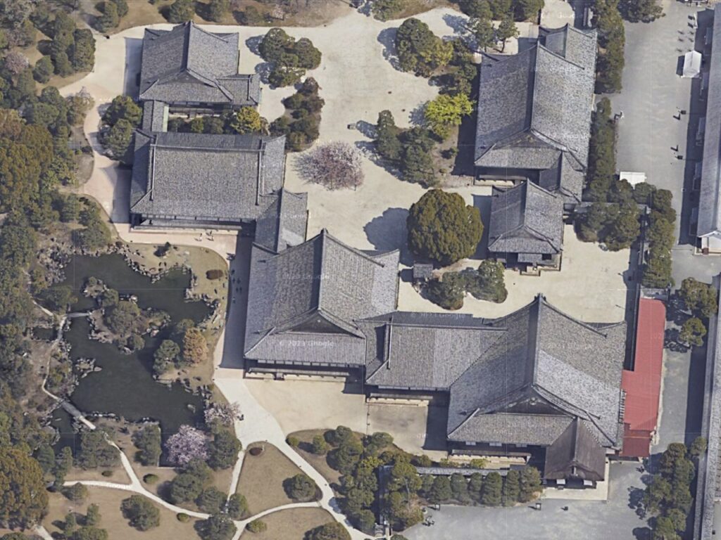
The aerial photo of the main hall (Google Map)
The “Shikidai” hall

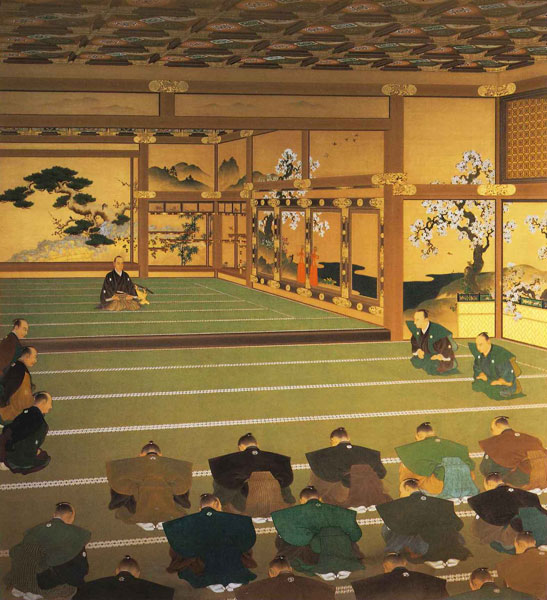
The third hall is O-hiroma (which means large hall), where the visitors officially met the shogun. In fact, The Returning of the Power to the Emperor was officially announced there in 1867. The three buildings above were like the government office. The others in the back were like the shogun’s residences.
The fourth hall, called “Sotetsu-no-ma” (which means cycad room), was the connecting hall to them. The name originates from the cycad trees, presented from the Saga Domain. They were planted outside near it. Surprisingly, the trees are still alive there today.
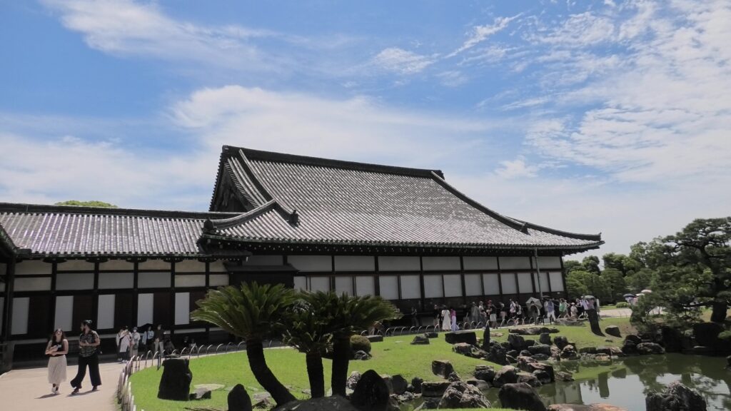
The “Sotetsu-no-ma” hall in the left, the “O-hiroma” hall in the right, and the cycad trees are in the front

The fifth one is called Kuro-shoin (which means black library), where the shogun worked and met people in private. The famous picture of The Returning of the Power to the Emperor demonstrates the event in this room. The shogun (Yoshinobu Tokugawa) told the internal retainers about his decision in the picture.
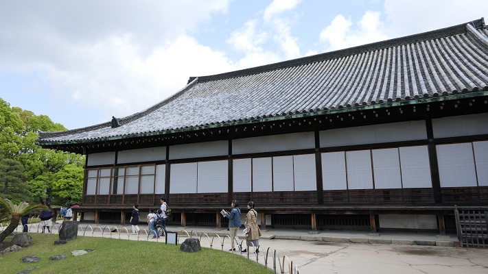
The “Kuro-shoin” hall
The picture of the announcement of Returning the Power to the Emperor, owned by the Meiji Memorial Picture Gallery (licensed under Public Domain via Wikimedia Commons)

The last one is called Haku-shoin (which means white library). It was used as the shogun’s private room.
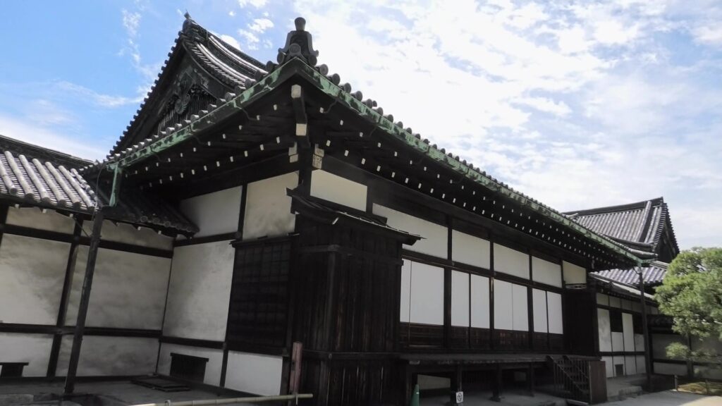
The “Haku-shoin” hall

Is the Main Enclosure a Castle-like Place?

The main enclosure may be more likely a castle than the second enclosure. You can go there by crossing the bridge over the inner moat. The bridge used to have the second floor with roof overhead for the Kanei Royal Visit. The floor was demolished, but it is kept in a storage room, in case they want to restore in the future. If you go over the bridge, you will enter the remaining turret gate of the enclosure.
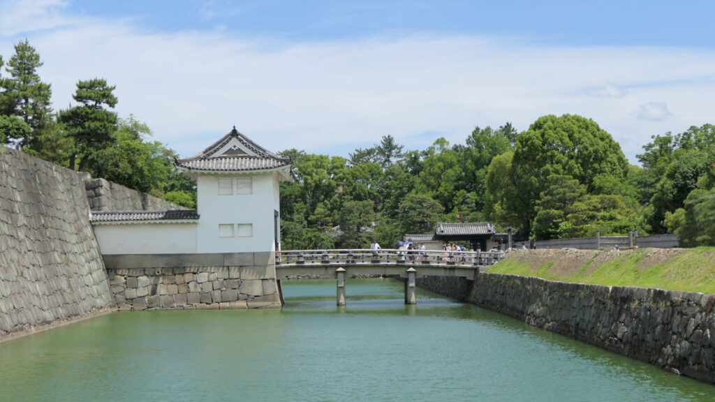
The bridge used to have the second floor with roof overhead

The inside of the gate is still surrounded by stone walls, which looks stronger than that of the second enclosure. The square inside the walls is one of the castle’s defense systems, called Masugata.
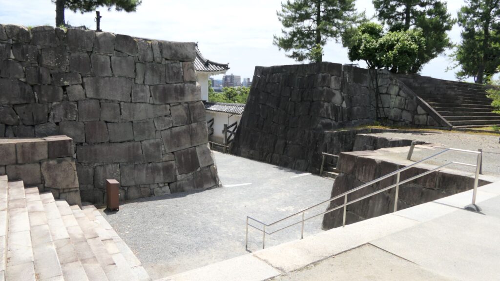
The Masugata system inside the gate

If you go to the center of the enclosure, the atmosphere around it will feel elegant. This is due to the place being developed as a garden for the former imperial villa. The remaining main hall of the enclosure is not the original of the castle but it came from the residence of the Katsura-no-miya imperial family in the Meiji Era. The emperor Taisho often stayed there when he was the prince.
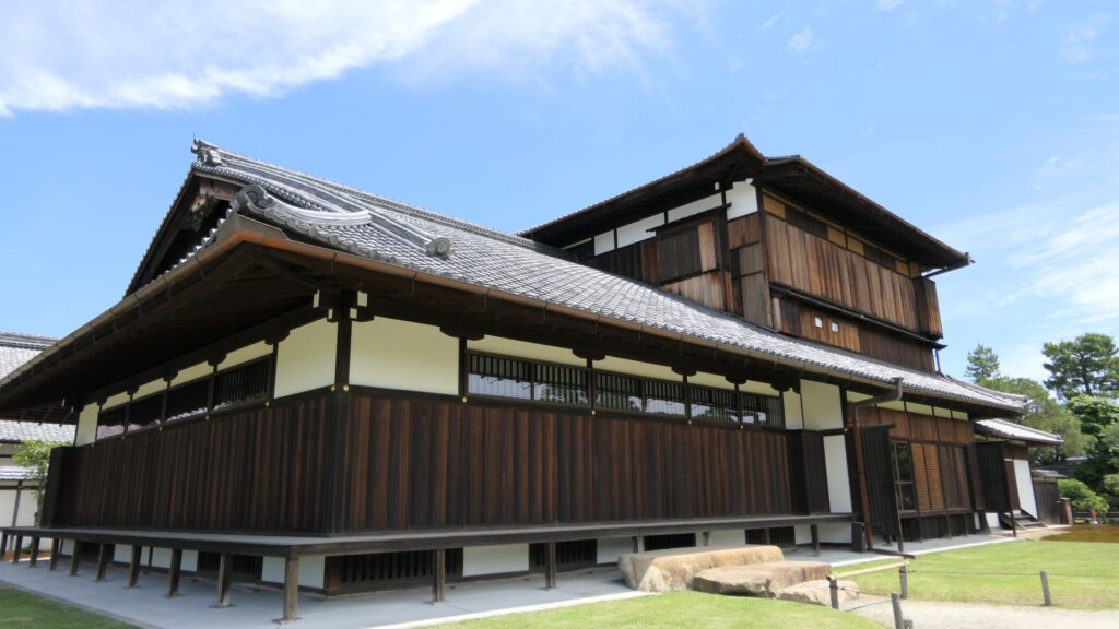
The current main hall of the main enclosure

You can climb the main tower base, which had the real tower in the past. The emperor climbed the tower twice during the Kanei Royal Visit. The experts of the advisory panel for the site are now discussing how to restore the tower in the distant future.
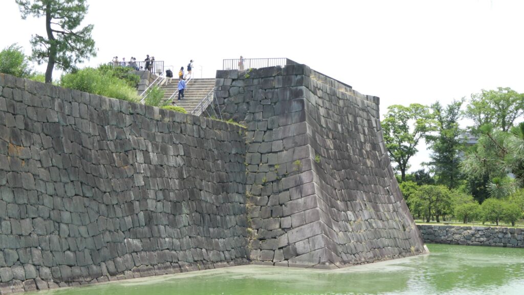
The exterior of the main tower base

The tour course will eventually guide you to the exit of the enclosure through the western entrance which is the opposite side of the turret gate. This entrance also looks impenetrable with a square space even through it doesn’t have buildings there anymore.
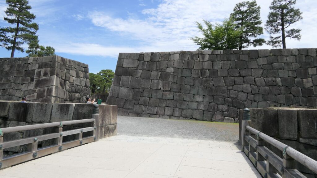
The western entrance

There are other defensive systems around the main enclosure. For example, the passage in front of the bridge and the gate, you first passed through, is separated by two gates, one in the north, one in the south.
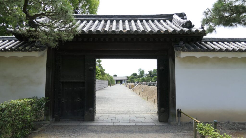
The northern gate, called Naruko-mon
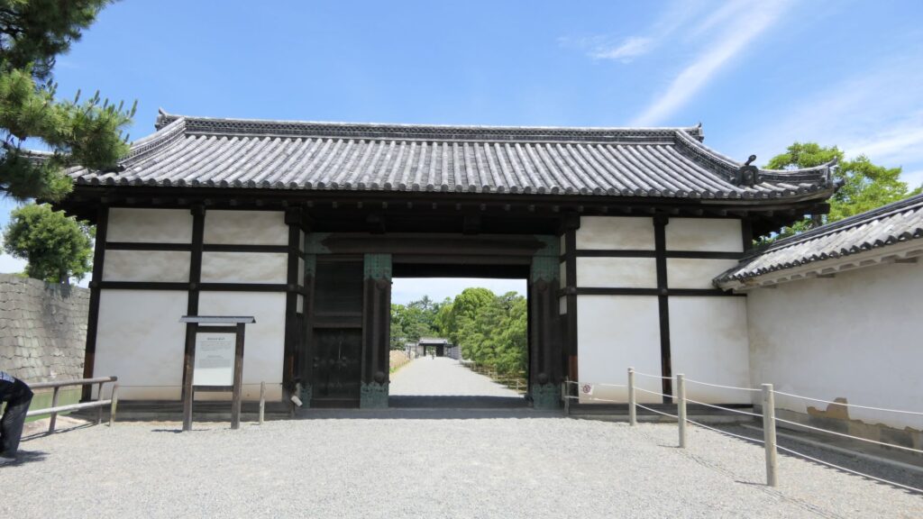
The southern gate, called Momoyama-mon

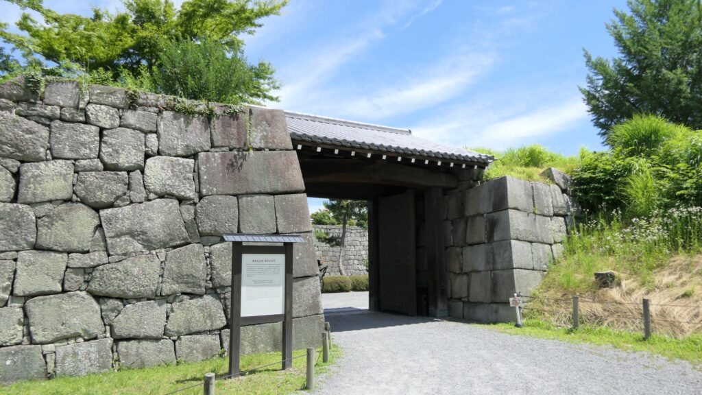
In addition to the two gates mentioned above, there are two additional gates, which were built on the northern edge of the inner moat and on the southern edge of it. These gates were used to protect the castles from enemies’ attacks and to monitor regular visitors.
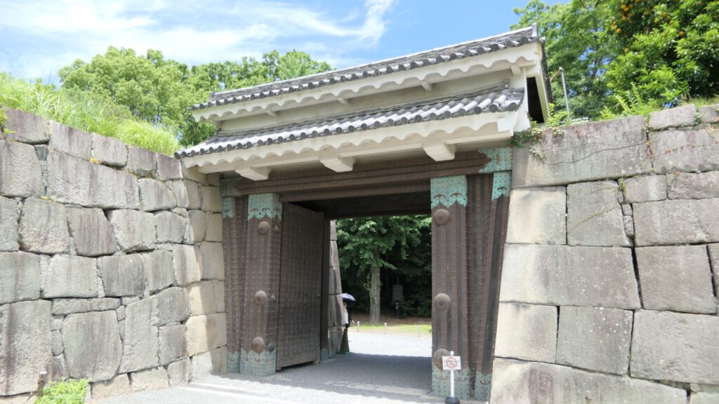
The northern partition gate
The southern partition gate

Furthermore, there are also two remaining storehouses on the western side of the enclosure. They were used to stock rice in preparation for a long siege. Three of the ten storehouses still remain in the castle today.
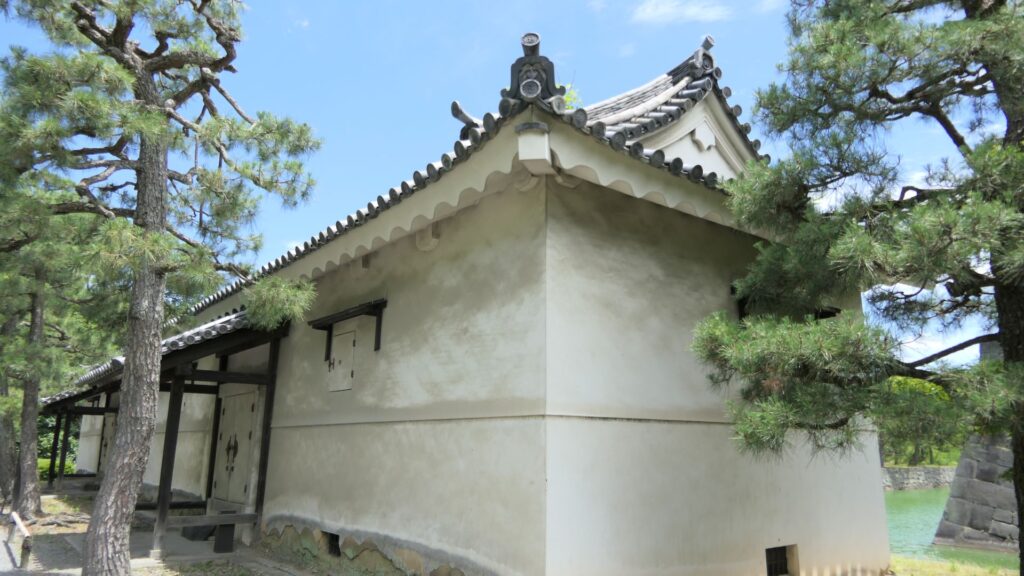
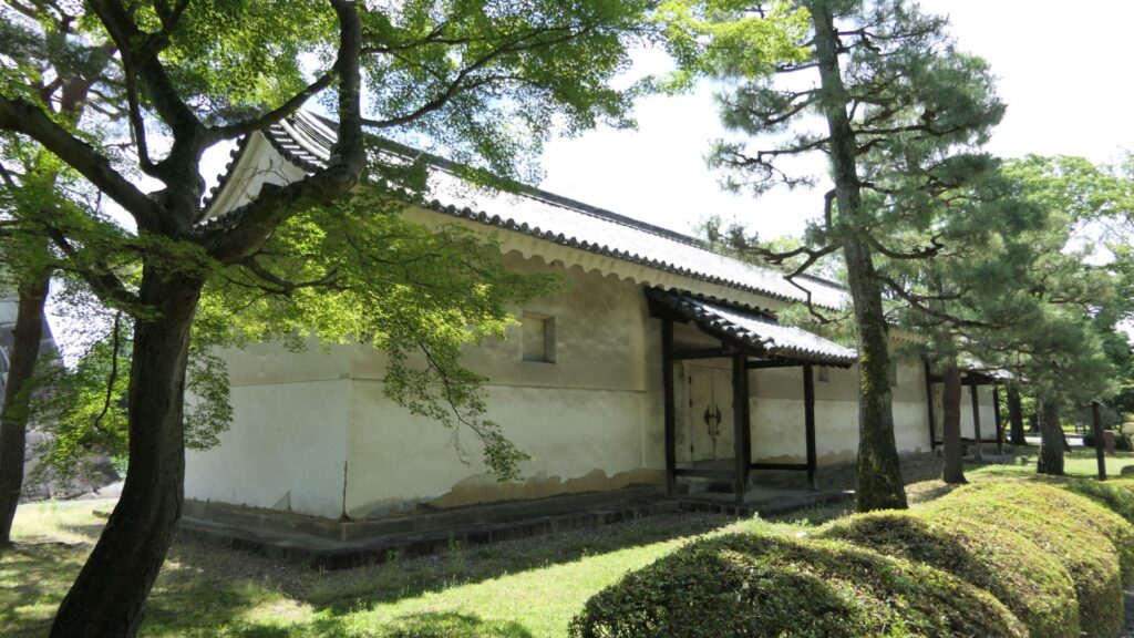
One of the remaining storehouses (in the northern side)
Another remaining storehouse (in the southern side)

If you have time, I recommend you visit the southwestern side of the enclosure. You may enjoy seeing beautiful flowers such as plum blossoms in the spring, hydrangea flowers in the summer, etc.
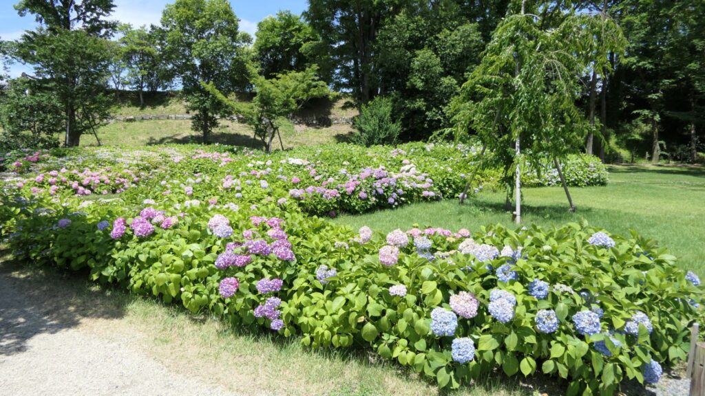
Hydrangea flowers in the area

Let’s walk around Nijo Castle!

Many tourists may see only the inside of Nijo Castle. However, this article will guide you to other perspectives of the site. Let us walk around the perimeter of Nijo Castle, which is about 1.9 km long. Let’s start from the eastern side of it, where many tourists gather, finishing to the northern side.
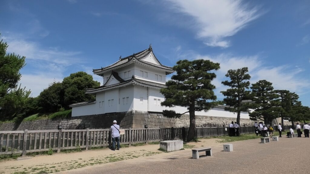
The eastern side is always crowded with tourists

If you walk along the northern side, you will see the northern main gate, another highly sophisticated one, following the eastern main gate. It was probably used to communicate with the shogunate government office of Kyoto, which was located across the road. In fact, it is uncertain when it was built, that means it might be the oldest building in the castle.
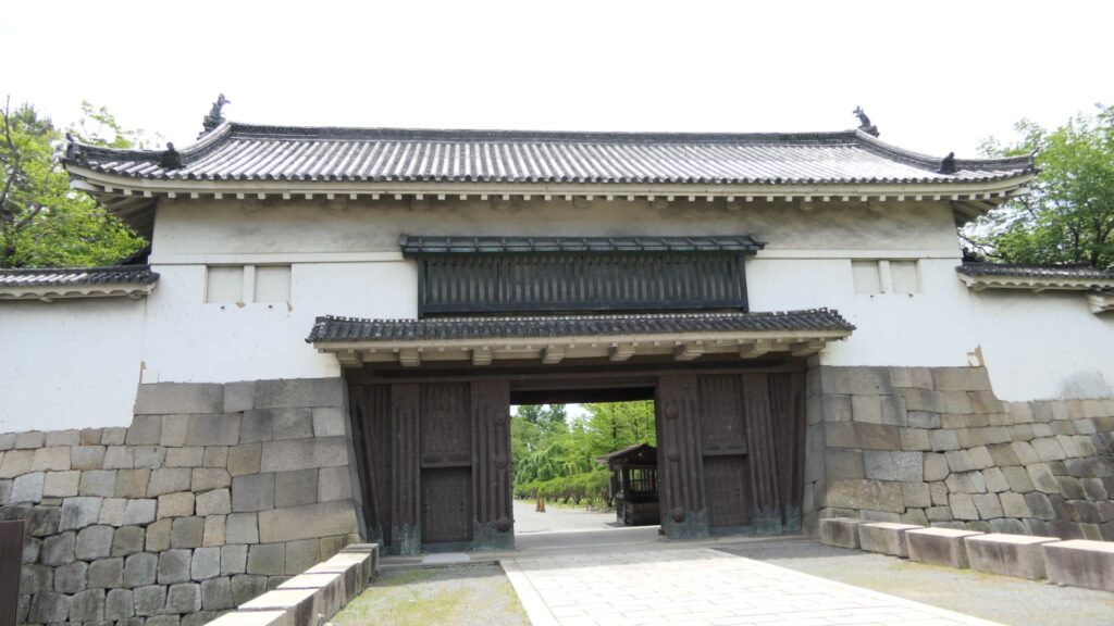
The northern main gate

If you go further, the smaller square is attached the larger square by a protrusion shown in the picture below.
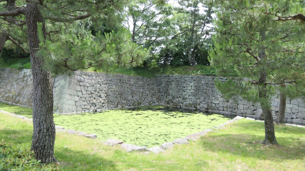
The protrusion between the small square and the large square

You can also walk on the special pathway, which was partially developed on this side, to see the stone walls and moats of the castle more closely.
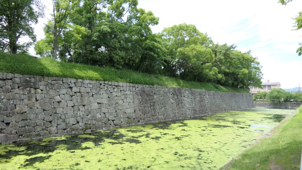
The view from the pathway

If you go to the western side, you will see the ruins of the western gate. It was the side entrance of the castle, which people usually used, but you cannot use it now because there is no bridge over the moat. It looks smaller and more defensive than the other highly sophisticated gates of the castle. Unfortunately, you cannot get close to the gate ruins even from the inside When Yoshinobu Tokugawa, who was the last shogun, escaped from this castle, he used this same gate, not the front gate, in order to avoid confrontations.
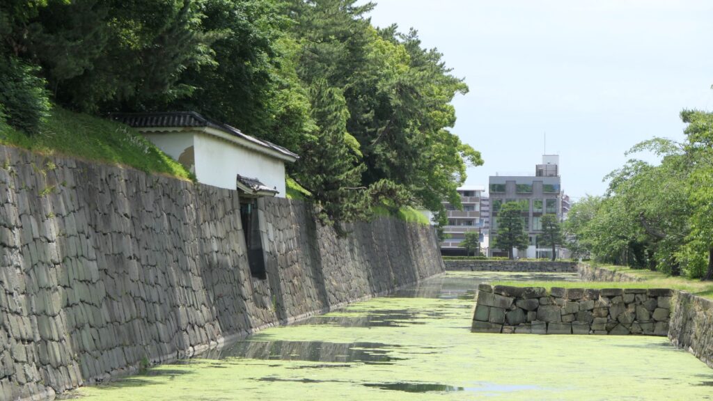
The ruins of the west gate

You will eventually see the other remaining “southwestern corner turret” at the corner between the western and eastern sides. It has quiet environment, compared to the southeastern corner turret.
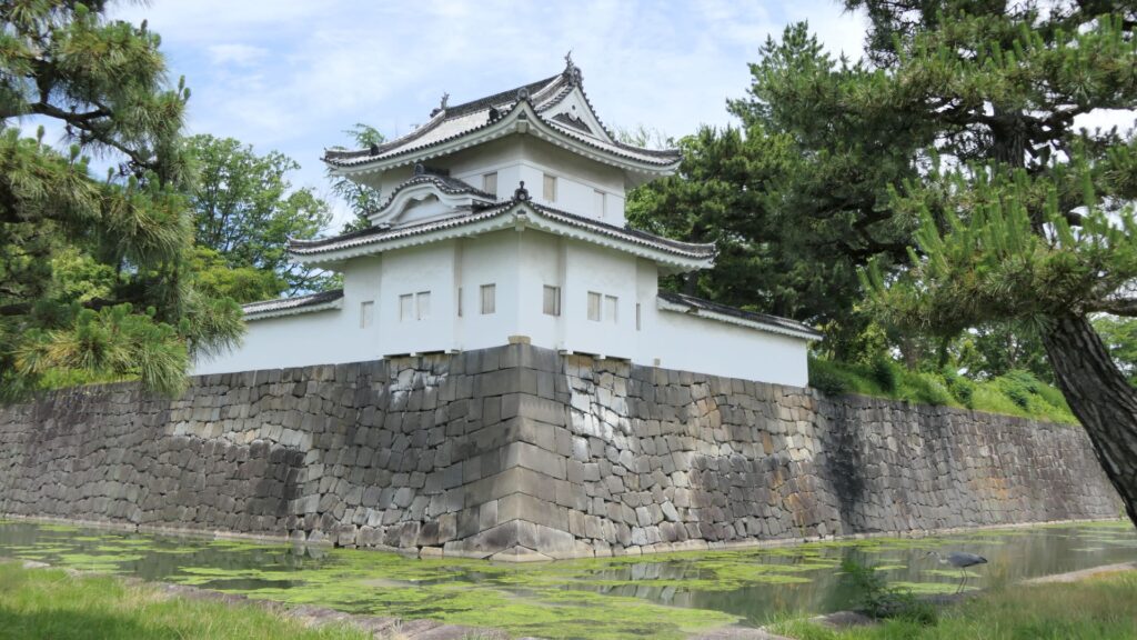
The southwestern corner turret

You will also see water flowing out from the moat of the eastern side. This water comes from a natural spring of this site. In fact, this site had been an ancient pond, called “Shinsenen”, before the castle was built. The current Shinsenen was downsized and is next to the castle. The castle benefits from nature of Kyoto.
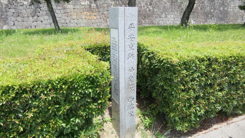
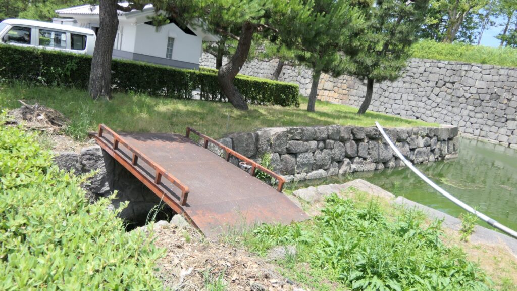
The signpost of the old Shinsenen pond
The water of the moat flows out

Where are the Old Nijo Castle Sites?

After walking around the current Nijo Castle, let us now go to the ruins of the old Nijo Castles. However, there are only a few of them remaining because they were all demolished. Basically, there is the only stone monument at each site.
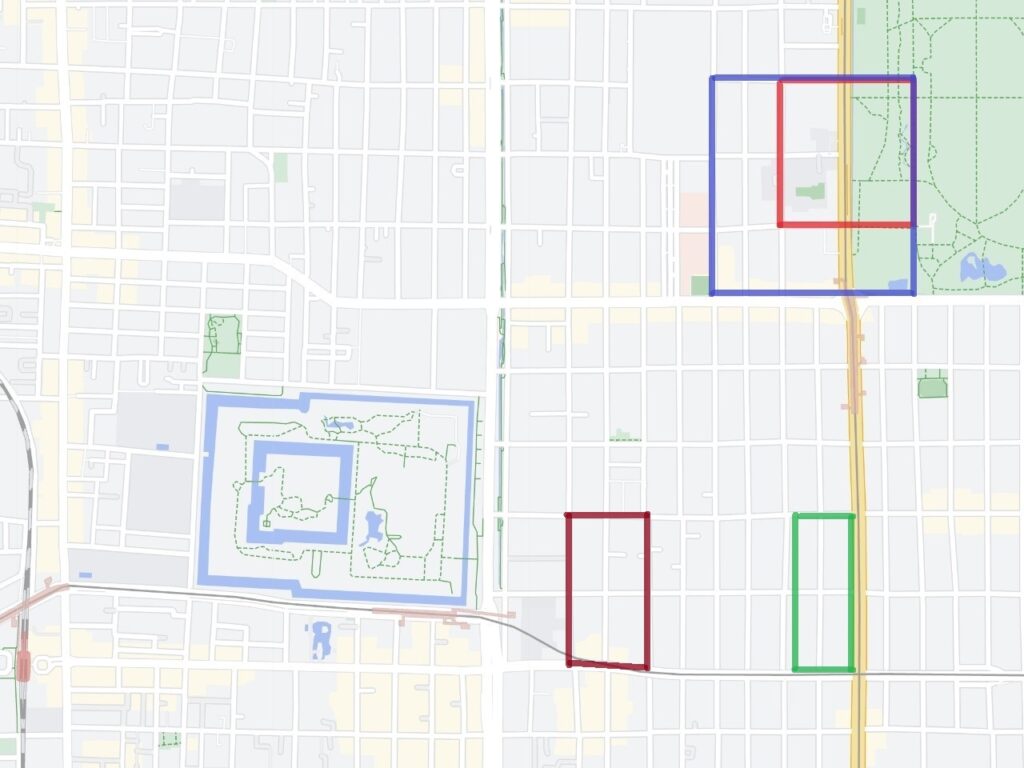
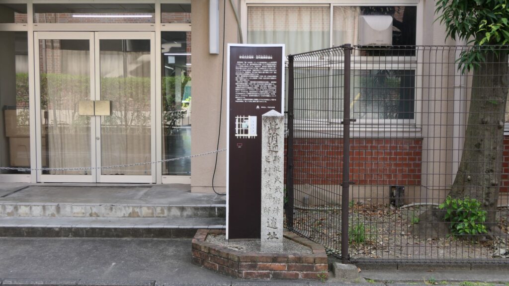
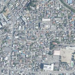
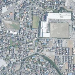
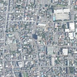
Yoshiteru’s Nijo Castle, marked by the red box, Yoshiaki’s Nijo Castle, marked by the blue box, Nobunaga’s Nijo Castle, marked by the green box, and Hideyoshi’s Myokenji Castle, marked by the brown box (Google Map)
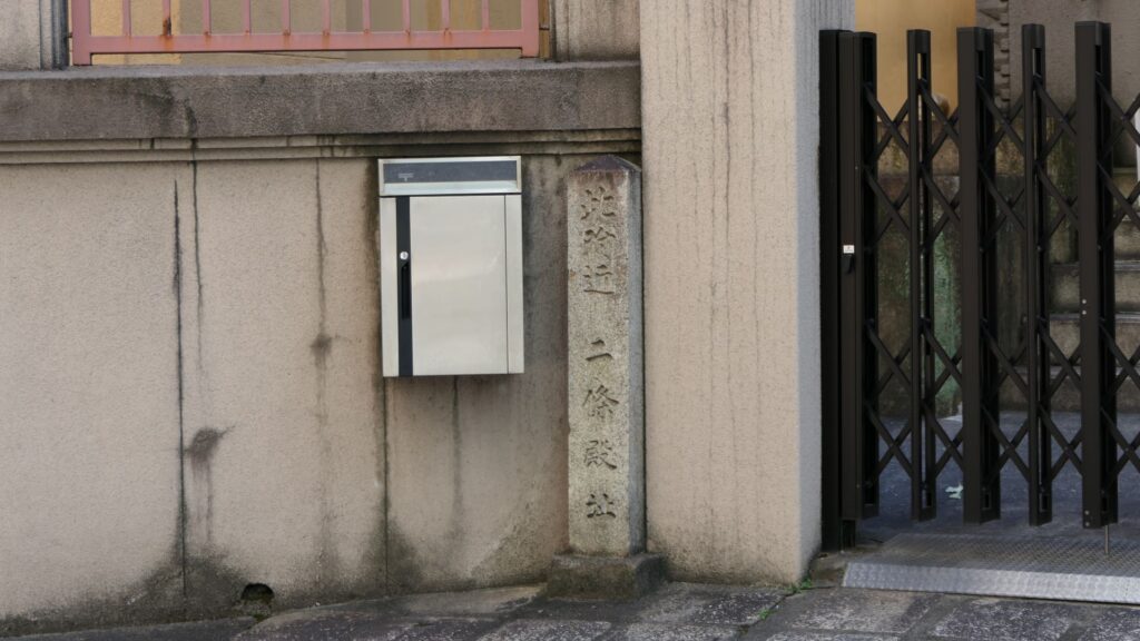
The monument of Yoshiteru’s Nijo Castle
The monument of Nobunaga’s Nijo Castle

Yoshiaki’s Nijo Castle Ruins have a few other things. Some of the stone walls were excavated when the subway constructions were done. They are now exhibited on three sites. One is near Sawaragi-guchi entrance of Kyoto Gyoen National Garden, and another is in the current Nijo Castle.
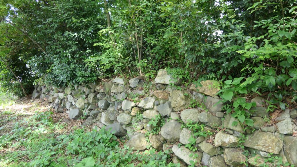
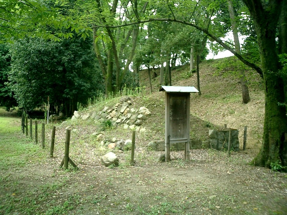
The stone walls, exhibited near Sawaragi-guchi entrance of Kyoto Gyoen National Garden
The stone walls, exhibited in the current Nijo Castle (licensed by Tomomarusan via Wikipedia Commons)

The other one is exhibited, about 10km away to the west of Nijo Castle, in Kyoto Bamboo Park. These stone walls have a distinct feature, which came from stone Buddha statues, collected by Nobunaga Oda.
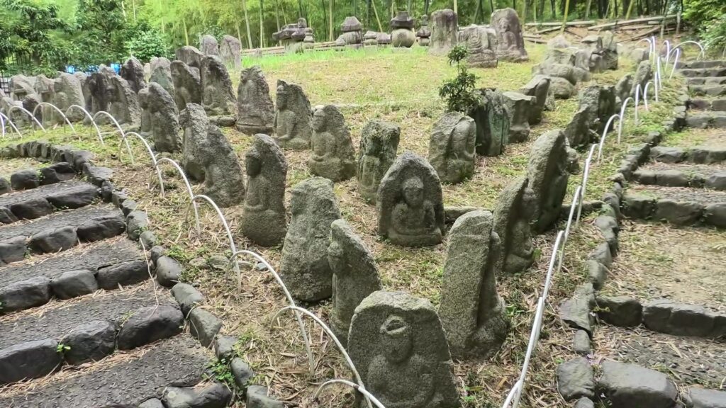
The stone Buddha statues, which were used as the stone walls, are now exhibited in the Kyoto Bamboo Park

According to a Portugal missionary, Luis Frois, who was in Japan at that time, wrote that Nobunaga ordered his servants to carry these statues using ropes which made them look like prisoners. People in Kyoto were very afraid to see this because the people worshiped the Buddha statues. Some of the statues, which are exhibited in the park, were actually destroyed intentionally.
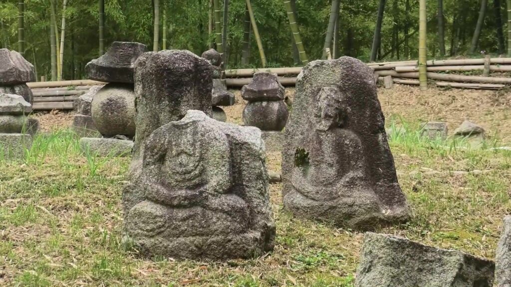
Some of the statues were actually destroyed intentionally

Even current Japanese people would be relieved to see that these statues survived despite the harsh treatment they were given.

My Impression

Looking at the histories of all the different Nijo Castles, there were some cases where the castles fell or their masters abandoned them. That may mean that Kyoto is easy to attack but difficult to protect. On the other hand, Kyoto must also have been an attractive place to stay for the masters. I think that the world was not built in a day and therefore, Nijo Castle was not built by one castle.
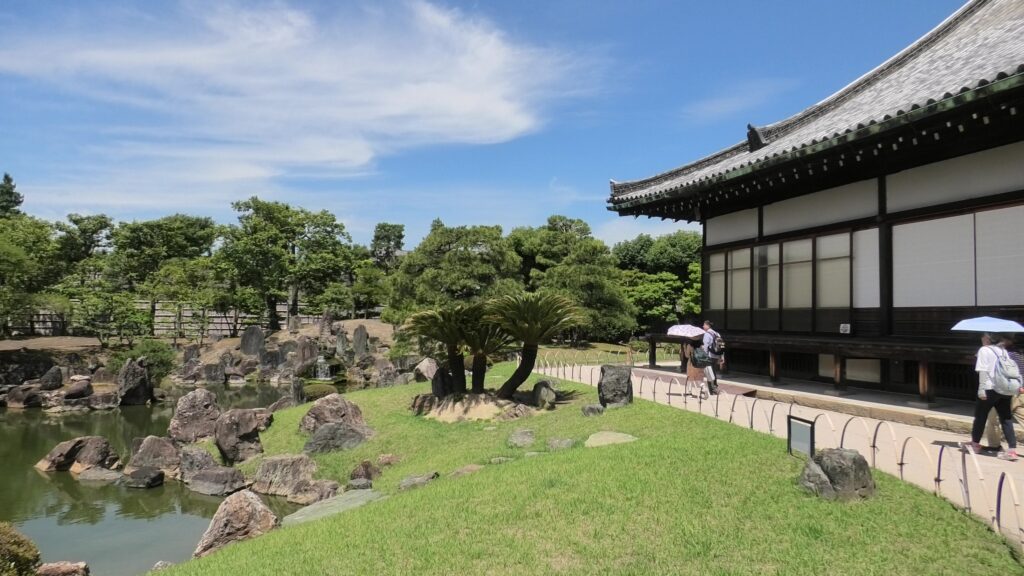
The garden of the second enclosure in the left and the Kuro-shoin hall in the right

That’s all. Thank you.

Back to “Nijo Castle Part1”

178.Noshima Castle Part3

If you have enough time to go there, it may be better to use a bike. This is because the ruins are near the cycling route on Shimanami Ocean Road.

Features

Walking around Second Enclosure

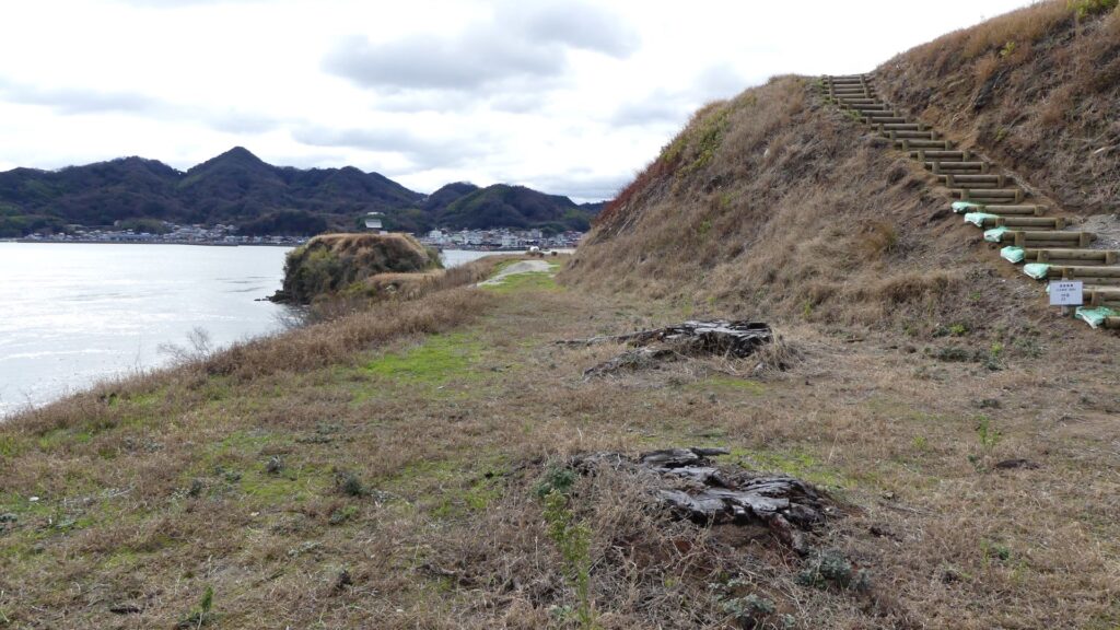
The second enclosure is elevated from the third enclosure and surrounds the main enclosure like passages. It was thought that it was used for residence and lookout point. You can walk around it and see other attractions below. For example, you will see the Funadamari beach which you saw from the boat off the beach. You can sea an artificial ditch which divides the shore and the passage on the beach.

The map around the castle

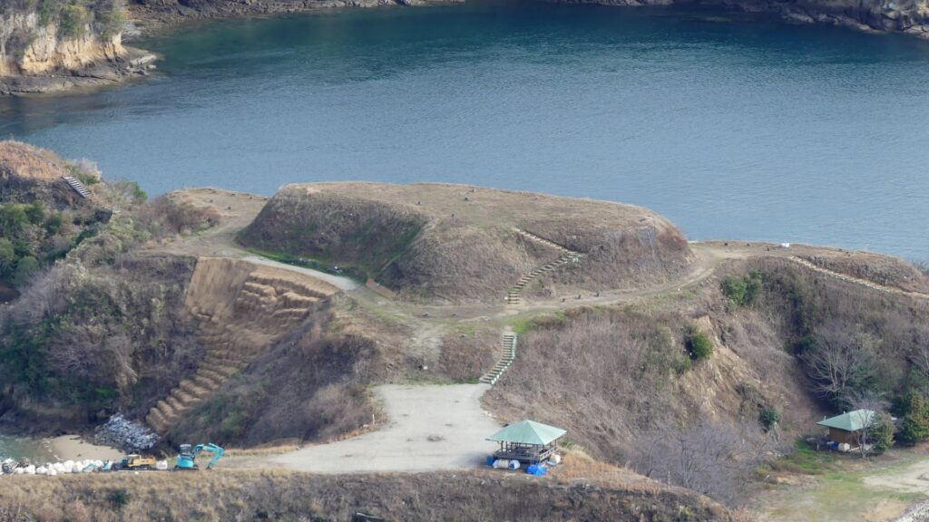
The second enclosure
The Funadamari beach, seen from the second enclosure
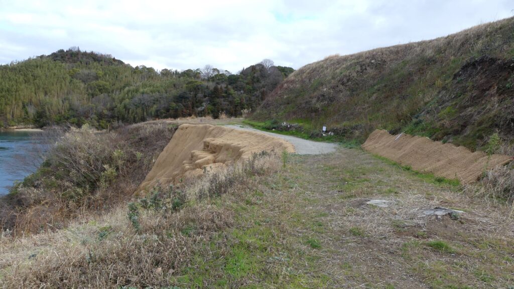
The artificial ditch at the beach

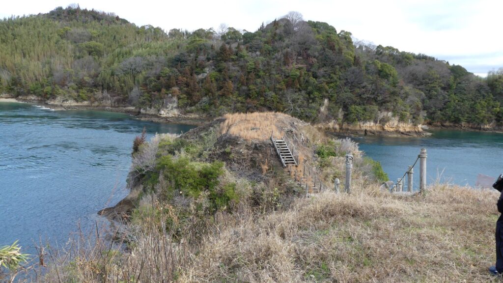
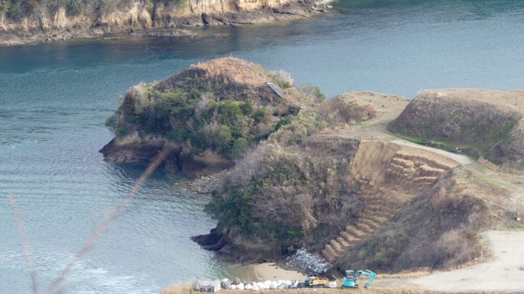
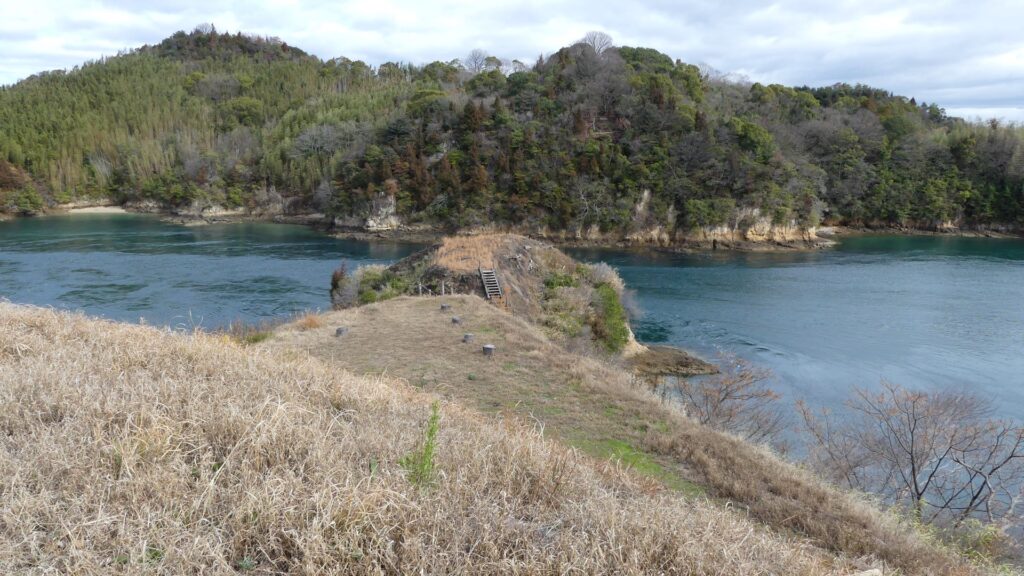
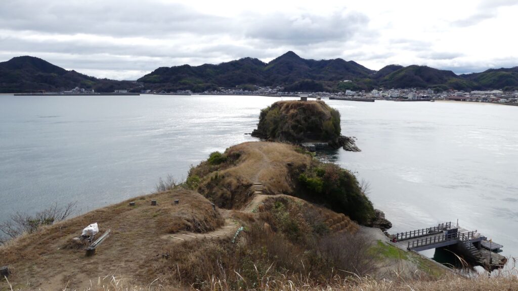
You will also see the enclosure on the northeastern cape, called Yabitsu (directly means “arrow chest”). it was said that the navy soldiers practiced shooting arrows towards Ushima Island from across the sea.

The Yabitsu Enclosure
The Yabitsu Enclosure, seen from the Kareiyama Mountain

Main Enclosure, Enjoyable place both Now and in Past

You will finally arrive at the main enclosure on the top, where you can see an amazing 360degree view! The past soldiers also must have been able to monitor everything that happened in the strait. According to the excavations, there were lookout towers and lots of earthenware dishes called Kawarake. Kawarake dishes were disposable ones which were used for parties or ceremonies. That meant the navy members enjoyed their parties on the top with such beautiful scenery.

Going up to the main enclosure on the right
The top on the main enclosure
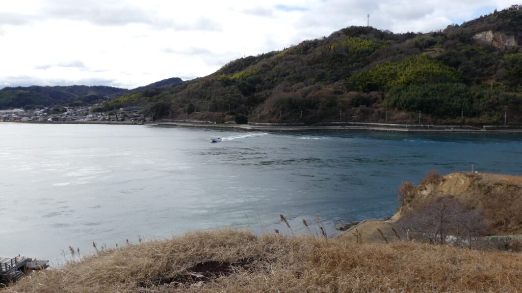
The view from the north side of the enclosure (the Seto Inland Sea)
The view from the east side of the enclosure (the Ushima Island)
The view from the south side of the enclosure (the Taizaki Island)
The view from the west side of the enclosure (the Oshima Island)
The main enclosure, seen from the Kareiyama Mountain

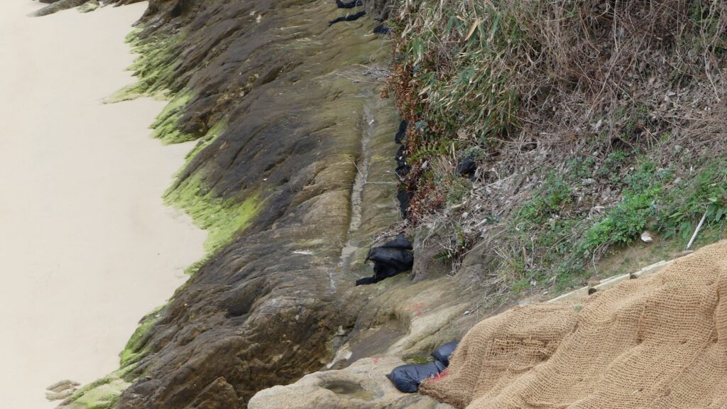
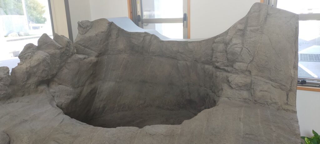
In addition, the island has mysterious large holes (about 1m in diameter and 2m in depth) at its seaside. Historians speculate they might have been water tanks. However, my guide said it was interesting if they were used as baths.

The replica of the large hole, exhibited by Murakami KAIZOKU Museum

Later History

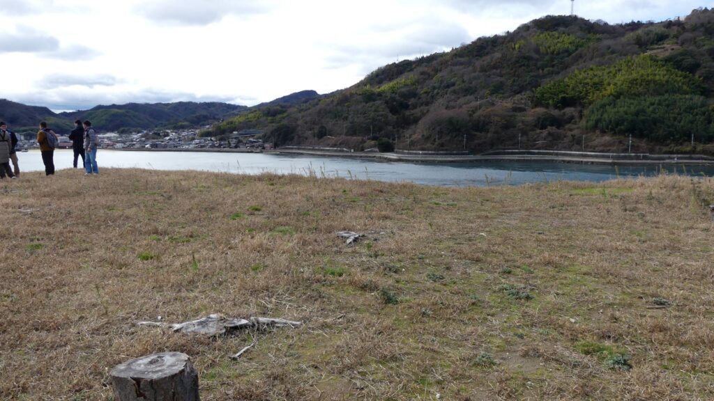
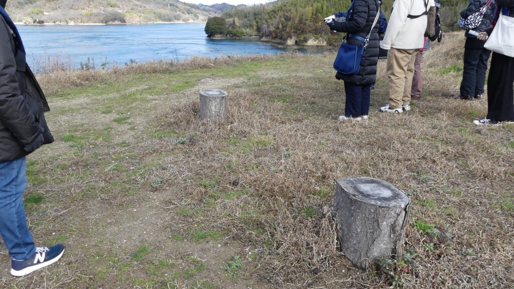
The island was used as fields during the Edo Period after the navies withdrew, but it eventually became deserted as mentioned above. In 1931, the officials started to plant cherry trees on the island. Since then, it became a popular spot for cherry blossoms where other boat tours for the locals were held every spring. However, the trees were all cut down recently because their roots had destroyed the castle ruins. Only their remaining stumps are now used as benches there. On the other hand, the ruins have been designated as a National Historic Site since 1953. In addition, they have been getting popular more and more throughout the country as a castle of the Murakami Navies.

Some of the remaining stumps

My Impression

I had a special experience by visiting Noshima Castle Ruins because I have not visited any castles by boats. The boat tour made me understand how the castle was used and protected carefully. The experience also taught me that there were people who lived in very different ways from others through the history of Japan. Maybe there are also similar people even in the present time. Someday, I hope there will be regularly scheduled ships that tourists can use to visit the castle ruins, if it gets more and more popular.

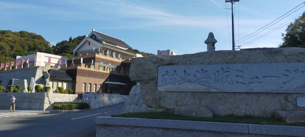
Murakami KAIZOKU Museum is another attraction before or after visiting the castle ruins

How to get There

Basically, I recommend using a car to get there. For people from the mainland, it takes about 5 minutes from Kita-Oshima IC on the Nishi-Seto Expressway. For people from Shikoku Island, it takes about 15 minutes from Minami-Oshima IC on the Nishi-Seto Expressway. The parking lots at the Miyakubo fishing port or the Murakami KAIZOKU Museum are available.

If you have enough time to go there, it may be better to use a bike. This is because the ruins are near the cycling route on Shimanami Ocean Road. For example, if you are in Imabari City on Shikoku Island, you can rent a bike at Imabari Station and ride it on the road right away.

The cycling route on the Imabari city area

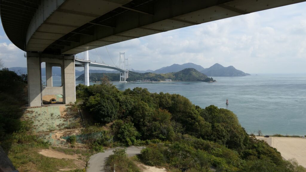
Go across Kurushima Kaikyo Bridges over the Kurushima Strait and go further on the Oshima Island for a while.

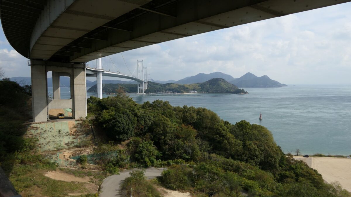
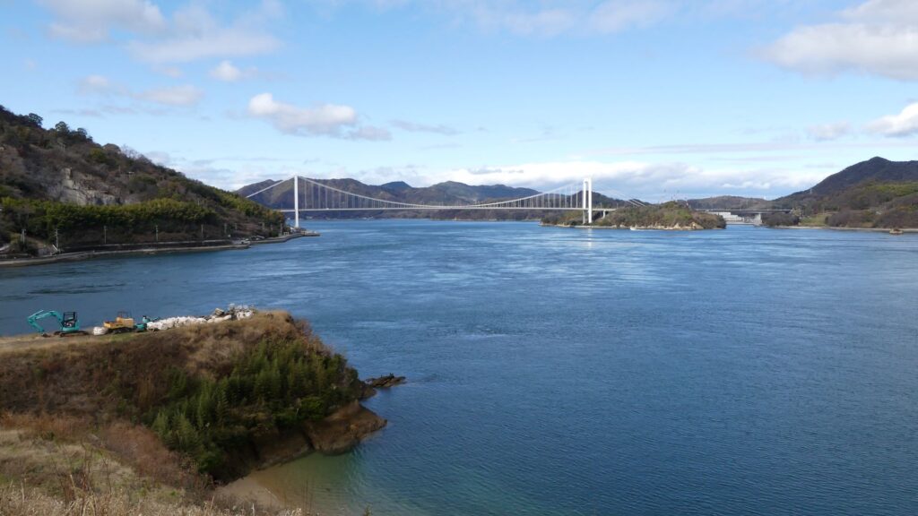
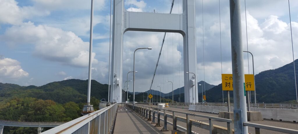
The Kurushima Kaikyo Bridges over the Kurushima Strait
The top on the bridge
The cycling route on the Oshima Island

The port is located at the northern edge of the island, which is about 22km from the station.

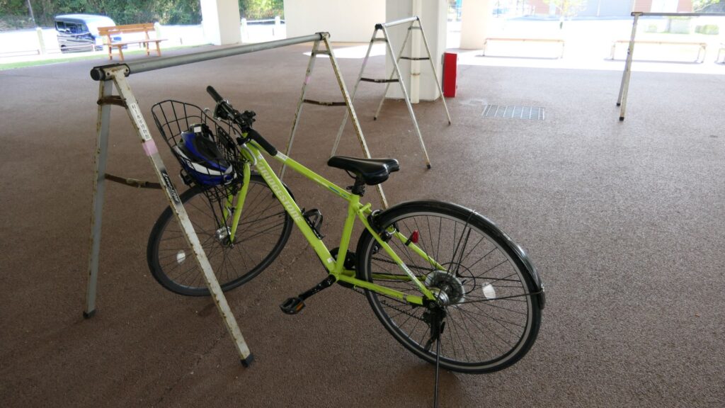
Arriving at the site by the bicycle

That’s all. Thank you.
Back to “Noshima Castle Part1”
Back to “Noshima Castle Part2”

19.Kawagoe Castle Part2

Today, the ruins of Kawagoe Castle are not noticeable among the city area. Only part of the Main Hall remains in the Main Enclosure and some related historical items are preserved or restored around. Let us first seek for some of the traces of the castle in the city area before visiting the Main Hall in the center.

Features

Today, the ruins of Kawagoe Castle are not noticeable among the city area. Only part of the Main Hall remains in the Main Enclosure and some related historical items are preserved or restored around. For example, if you walk or drive from the east of the castle, which was a waterlogged area, to the castle ruins, you may just notice the road is slightly going up. That was a border for dividing the inside and outside of the castle, but all of them have become a city area. Therefore, let us first seek for some of the traces of the castle in the city area before visiting the Main Hall in the center.

Around the eastern edge of the castle in the past

Older Traces of Castle

We will start from the second enclosure, which is the north of the main enclosure and where Kawagoe City Museum is located. This was the eastern edge of the castle in its early stage. You can now walk down to the Shingashi River on the east, which was developed during the Edo Period. Some of the residential areas around originate from new enclosures at that time and some of the roads were moats.

The aerial photo around the castle

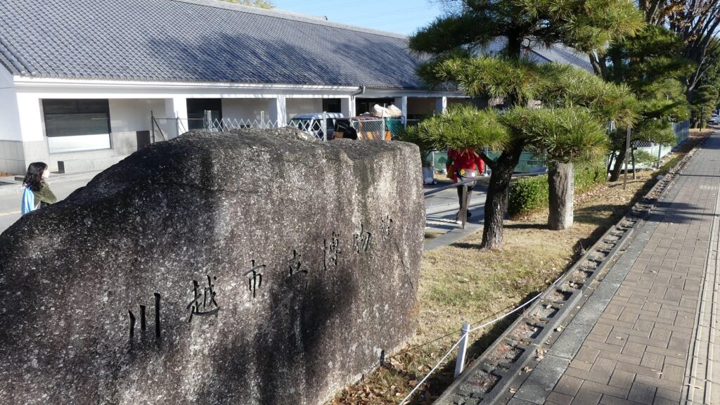
Kawagoe City Museum
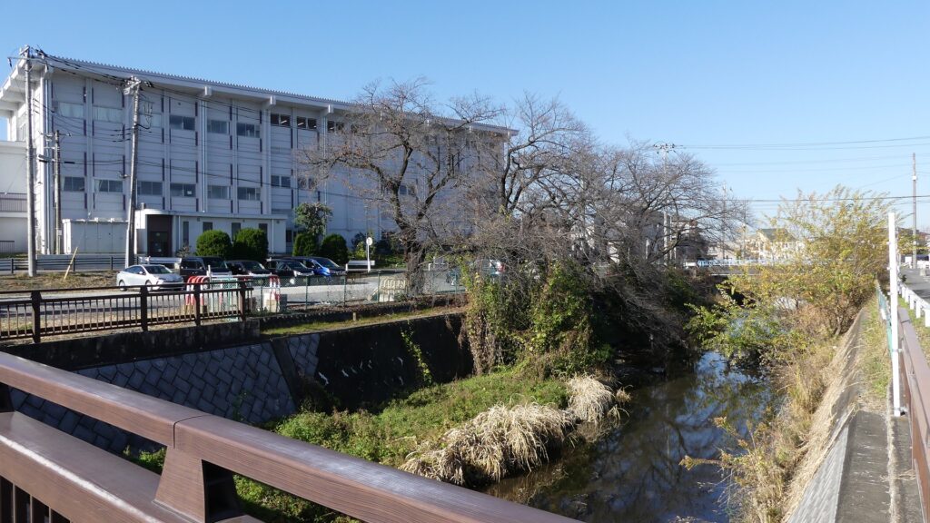
The Shingashi River
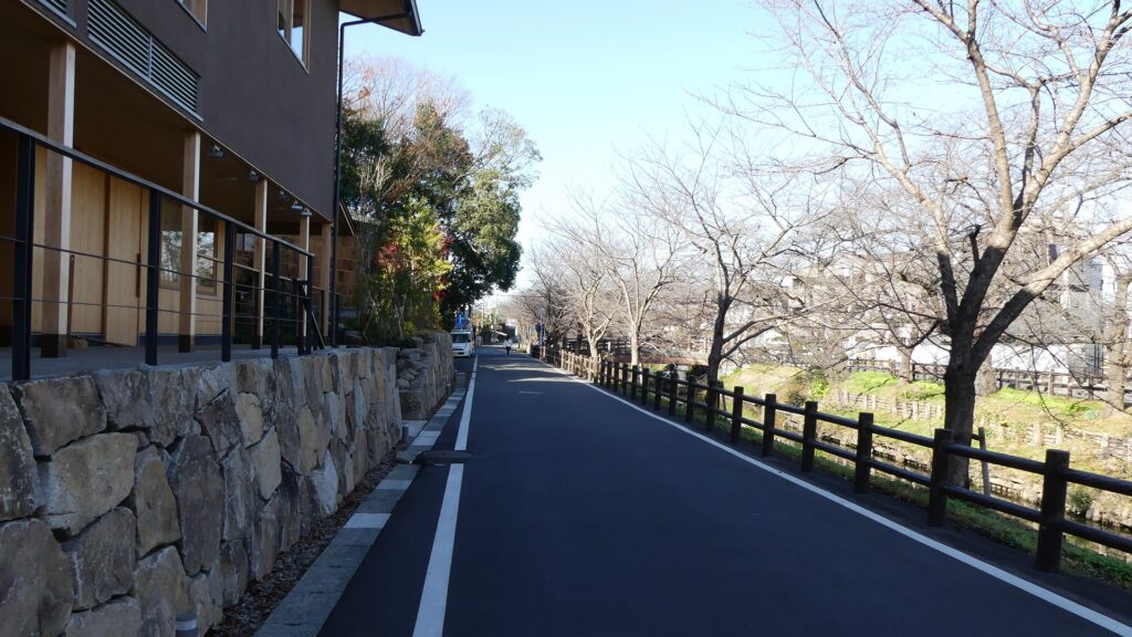
Around here was a moat in the past

If you walk along the river, it will follow the edge of the Musashino Plateau. You will eventually find Taya Weir which was originally the estuary of the Taya River. That means the upstream beyond is older than the downstream.
Going along the river
The Taya Weir

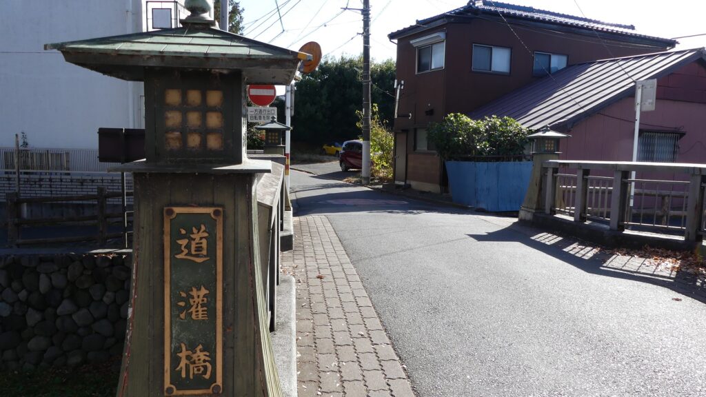
If you go further, you will see Dokan Bridge which named after the castle’s builder, Dokan Ota’s residence was nearby. You will next see Tomyoji Bridge where the Uesugi Clan’s troops assaulted during the Siege of Kawagoe Castle in 1546. The Tomyoji Temple is near the bridge, where severe battles occurred in the battle.

The Dokan Bridge
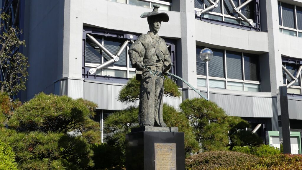
The stathe of Dokan Ota in front of Kawagoe City Hall
The Tomyoji Bridge
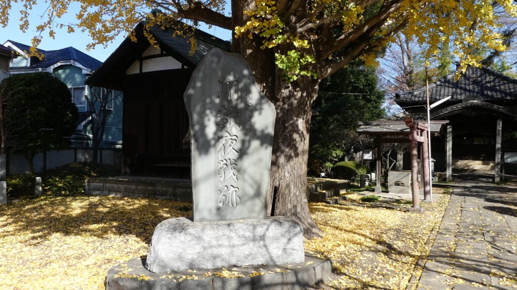
The monument of the Night Battle of Kawagoe in the Tomyoji Temple

From Western Main Gate Ruins to Main Enclosure

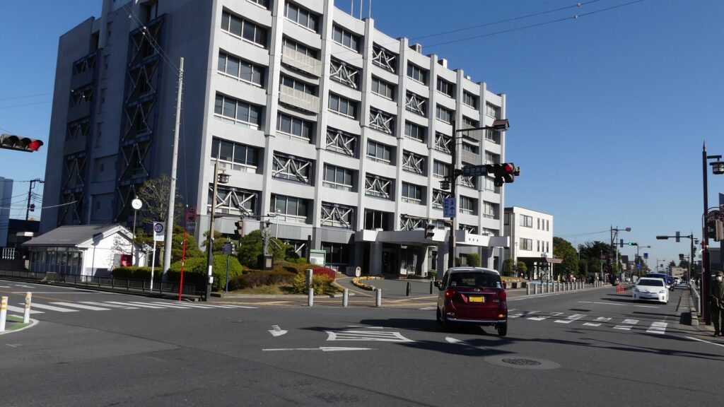
Let us nest go to the south around the City Hall of Kawagoe where the western main gate of the castle was built. The route through the gate was protected by a Umadashi system which was a round-shaped small enclosure in front of it. However, it was removed and has become an intersection crowded with many tourists. The current road goes straight to the center of the castle on the east, unlike the former curved road.

The map around the castle

The intersection in front of Kawagoe City Hall
The ruins of the western main gate
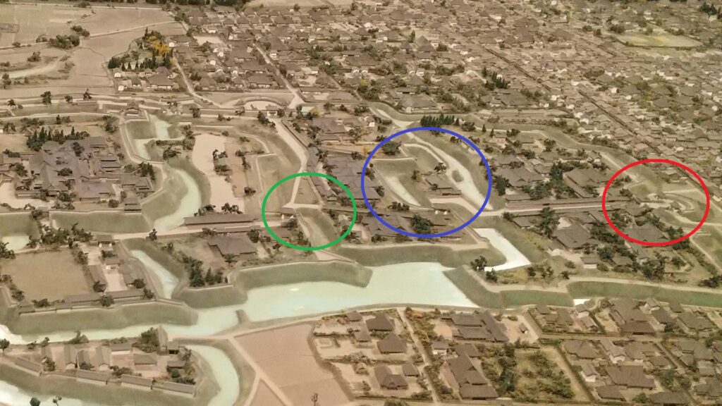
The western main gate (marked by the red circle) in the miniature model exhibited by Kawagoe City Museum

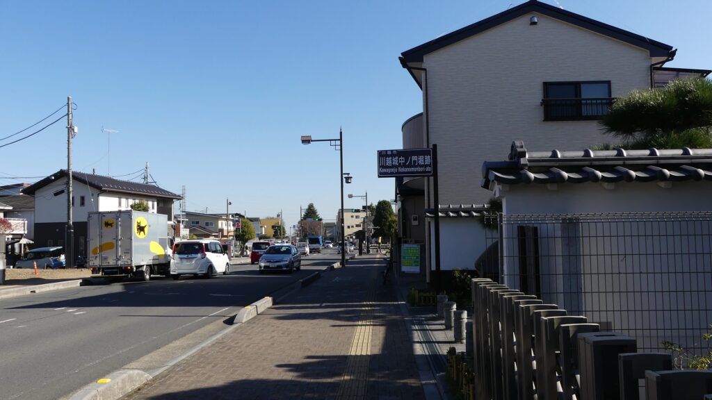
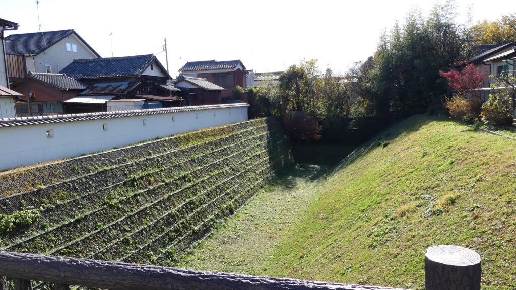
The road curved on the right and hit the moat of Naka-no-mon Gate. Visitors had to turn left to enter the gate. The moat has partially been restored to be open to the public.

The miniature model seen from the north, the western main gate is marked by the red circle. the moat of the Naka-no-mon gate is marked by the blue circle, and another curved point is marked by the green circle
The moat of the Naka-no-mon Gate is on the right
The moat has partially been restored

If you go further after passing the moat, you will find a planted round space on the right. This is the trace of another moat overhanging from the left, which meant visitors were not able to go straight again. The former road finally reached the main enclosure after passing the second enclosure.

The trace of another moat
Arriving at the main enclosure

From Southern Main Gate Ruins to Main Enclosure

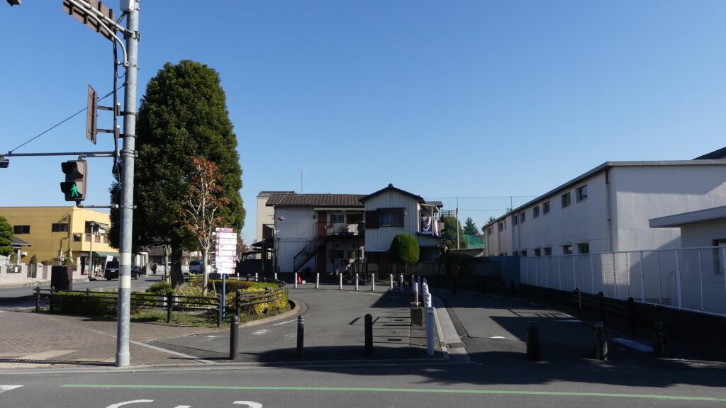
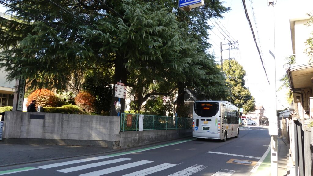
Let us check out another original route to the center from the southern main gate. The gate was similar to the western one and also completely removed, so there are no traces at all at the site beside Kawagoe Daiichi Elementary School.

The map around the castle

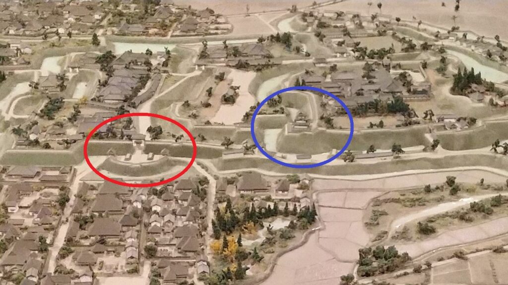
The miniature model seen from the south, the southern main gate is marked by the red circle and the Fujimi Turret is marked by the blue circle
Around the ruins of the southern main gate

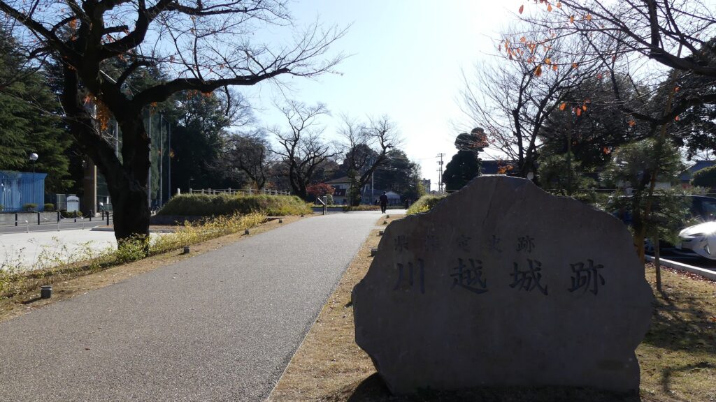
If you walk on the road along the school to the north and turn right at the first intersection, you will go on the original path to the center. The path is paved and surrounded by modern residential areas now, but was surrounded by earthen walls or water moats in the past. You will next see a hill on the left, which is the ruins of Fujimi Yagura (meaning Seeing Mt. Fuji Turret). The turret had three stories, which was the substitute for a Main Tower. It was used as a lookout and defense for the castle.

The original path to the center
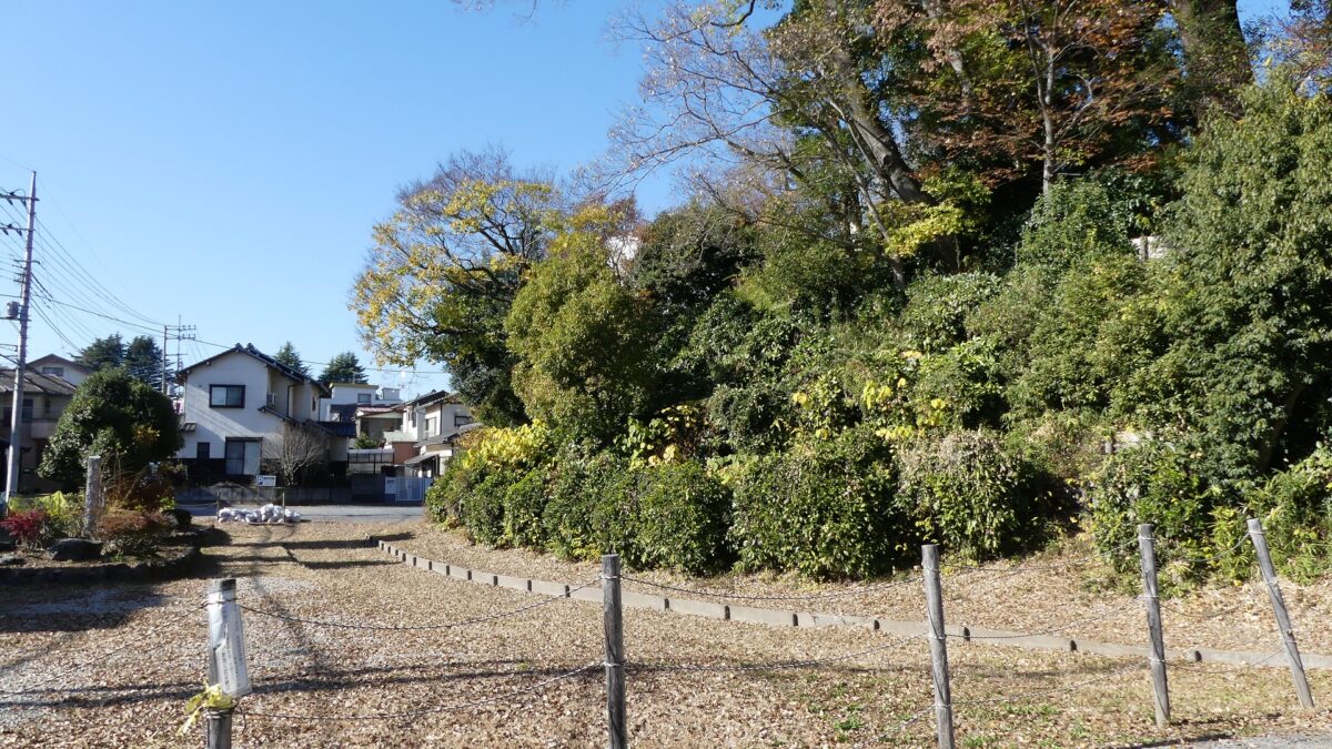
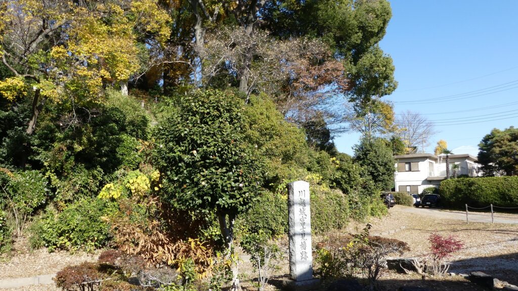
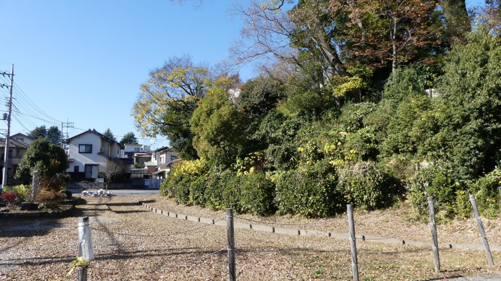
The ruins of the Fujimi Turret

You can climb to the top of the hill over the dried moat ruins in front. The turret was accessible from the center in the past, since it is currently used as a High School establishment, access is already restricted. You need to go back to the path, turn left to reach the main enclosure.

Going over the moat ruins
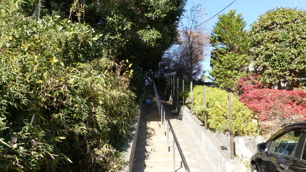
Climbing the stairways
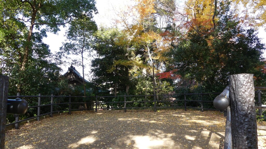
The top of the hill where the turret was built
A view from the top
The area behind the turret is used as the school
You need to go back to the path to reach the main enclosure

To be continued in “Kawagoe Castle Part3”
Back to “Kawagoe Castle Part1”