特徴、見どころ(海城・三原城めぐり)
Introduction
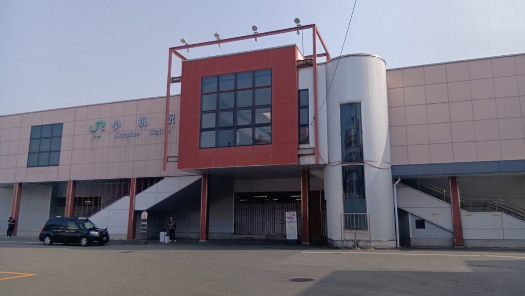
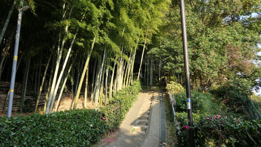
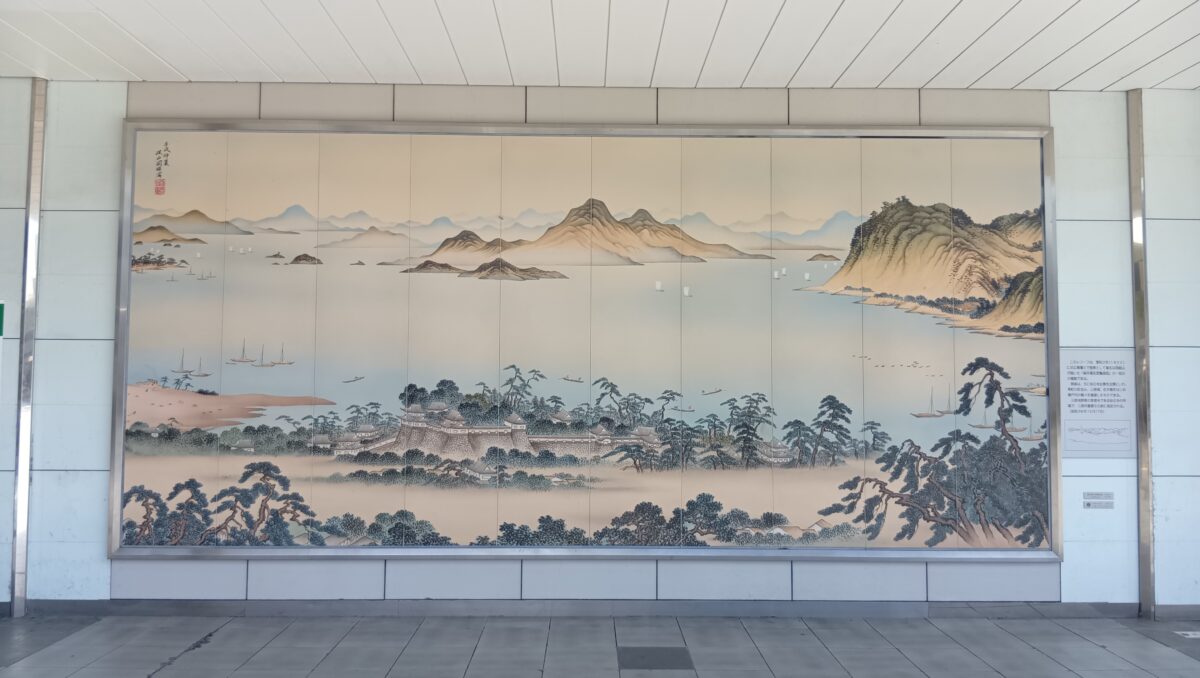
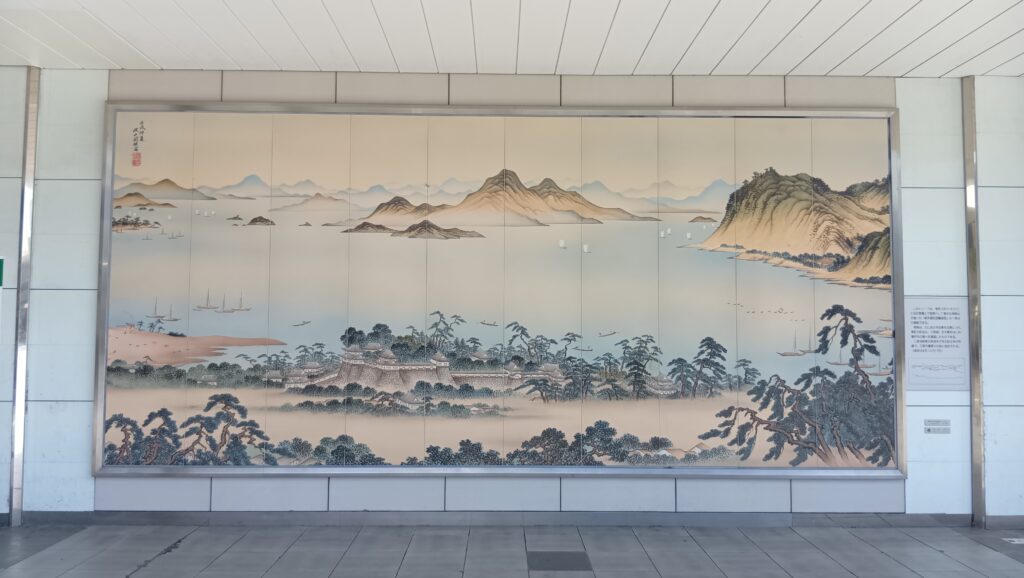
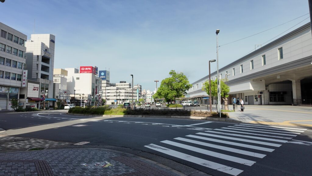
前回の新高山城跡見学に引き続いて、三原駅に着いたところです。駅には、三原城の素晴らしい絵が飾られていて、気分が盛り上がります。すぐ近くには三原観光協会があって、情報収集もできます。
今私たちがいるところは、かつての本丸で、周りもすっかり市街地になっているのですが、ところどころ、海城の痕跡が残っているのです。前半は、そんなスポットを巡ってみましょう。後半は、駅の反対側に残っている天主台に行ってみます。まわりを歩いて、その大きさを実感したり、駅に直結した通路から、天主台の上に登ってみます。これぞ「城の駅」です。さっそく出発しましょう。
城周辺の航空写真今回の内容を趣向を変えて、Youtube にも投稿しています。よろしかったらご覧ください。
かつてのフロントラインを歩く
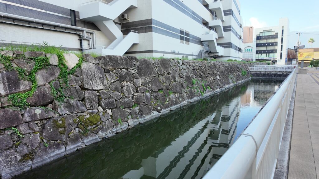
すっかり市街地になったといっても、意外と海城の形は残っているのです。昔の絵図を見ると、本丸と二の丸が堀に囲まれていますが、そのラインを、街の中に追ってみようと思います。

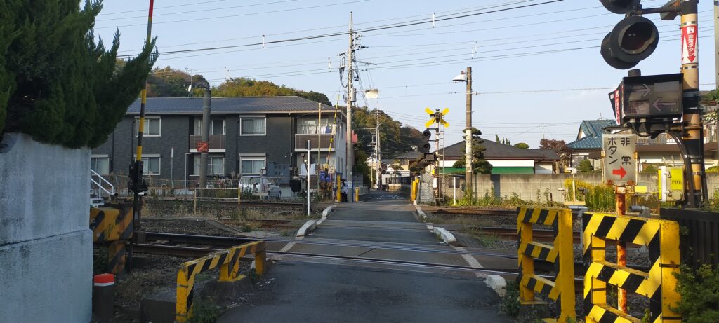
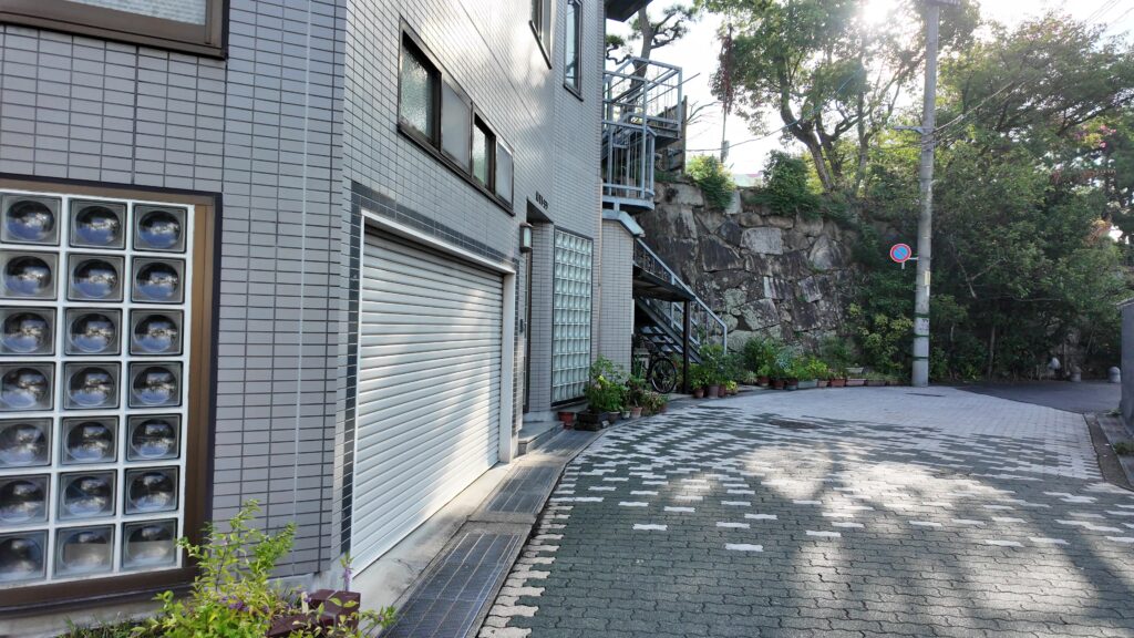
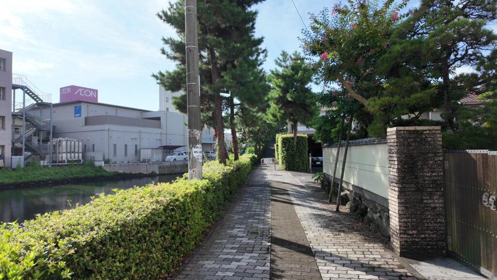
駅前広場から通りを渡って、右側にある通りが、大体そのラインに沿っています。ということはこの通りはお堀だったのです。と思っていたら、堀が残っています。実際は、通りを含めてもっと幅が広かったのでしょう。お堀沿いには石垣も残っています。
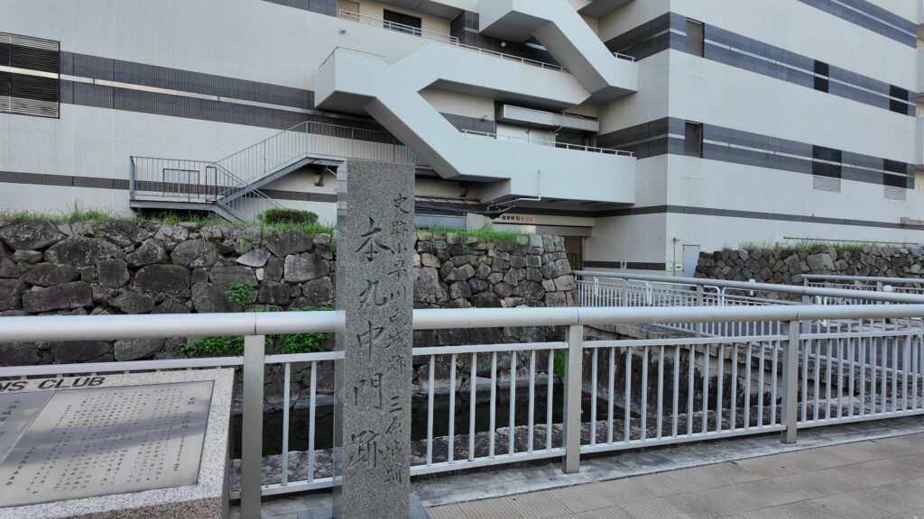
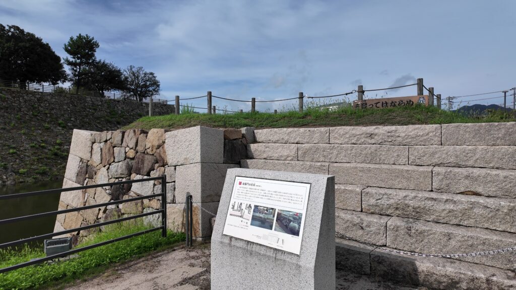
説明パネルがあって、本丸中門跡ということです(「二の丸中門」ではないかという意見もあるようですが)。ここは、西側に張り出した二の丸の一部から渡れるようになっていたのです。限られた出入口の一つでした。今も施設の出入口として使われているところがいいです。
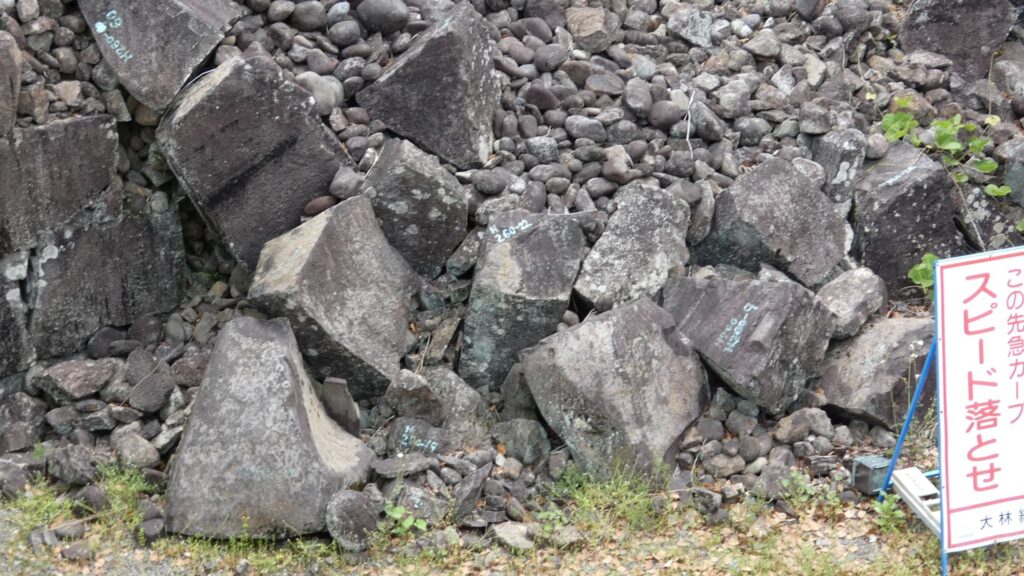
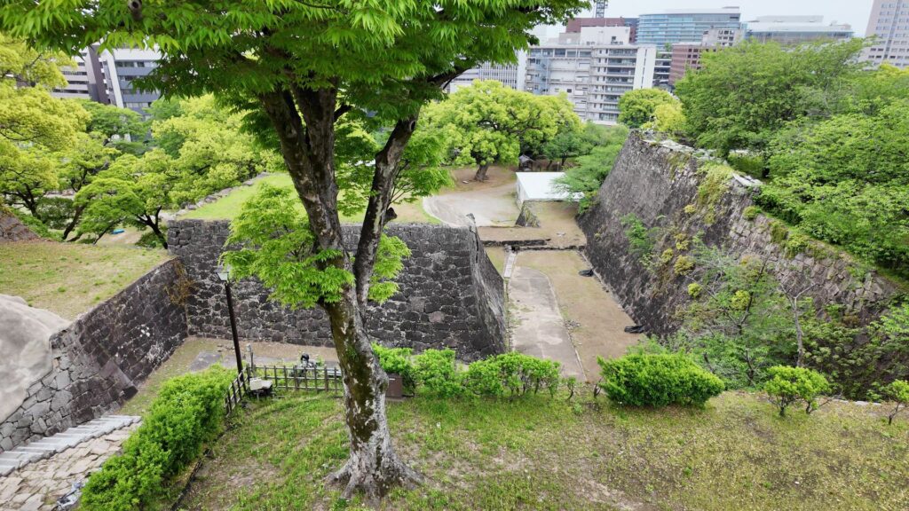
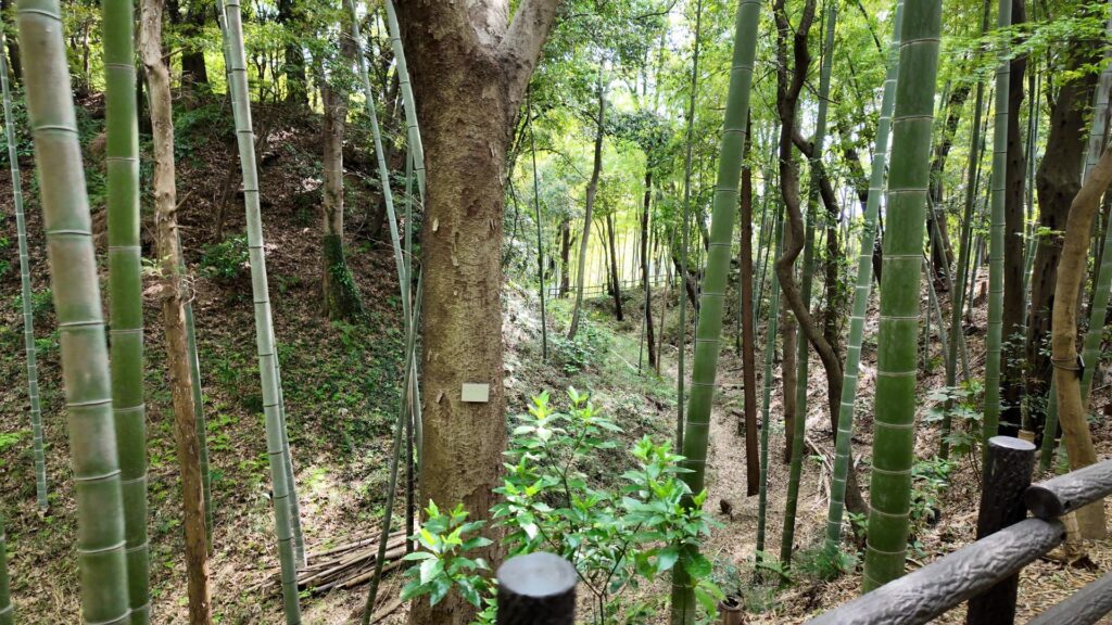
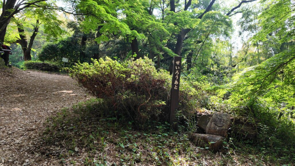
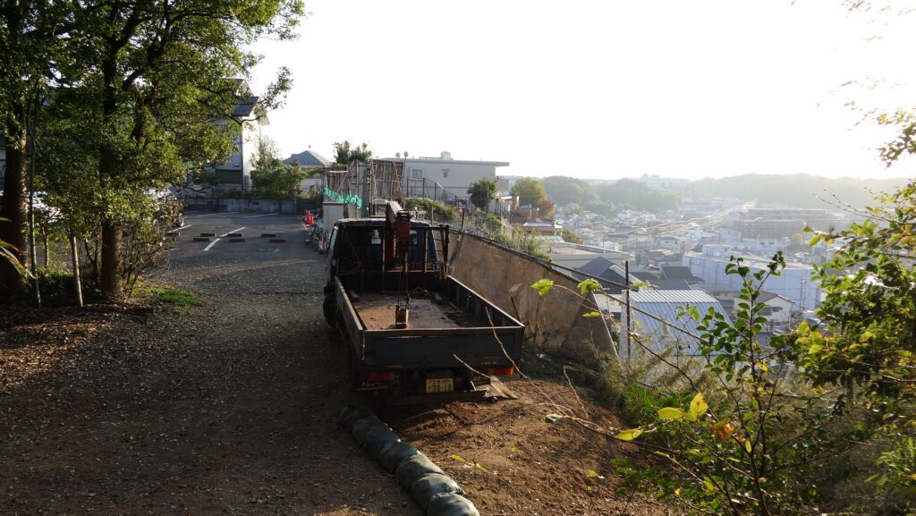
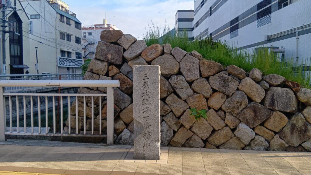
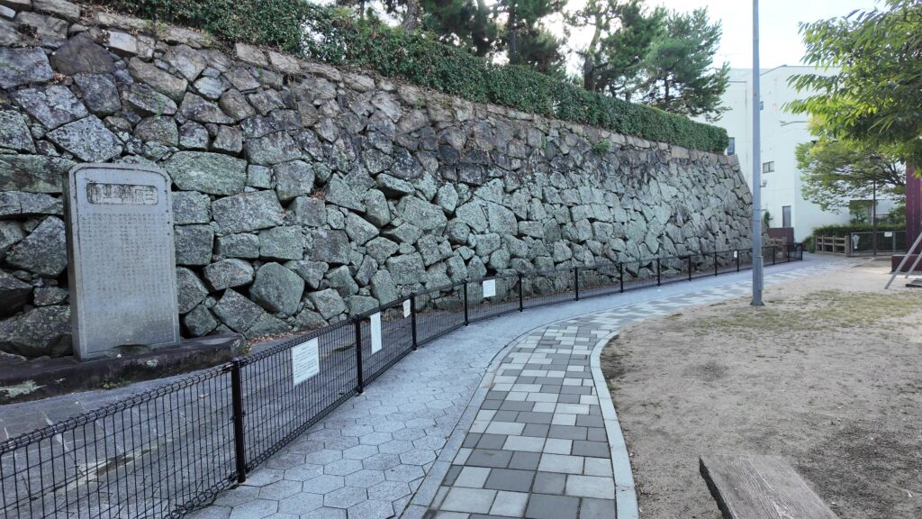
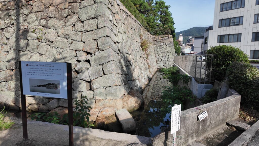
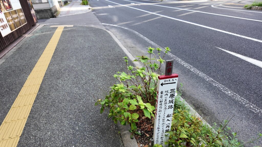
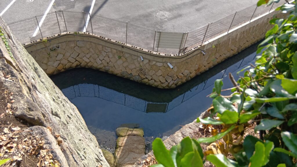
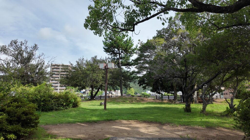
お堀を追って行きましょう。堀が切れた角のところに、石碑があります。「三原城 臨海一番櫓跡」とあります。ネーミングのおかげで、ここが曲輪の端で、この先が海だったことがわかります。ということは、ここを曲がった通りは、海に面した曲輪のラインなのです。この歩いている道の右側がみんな海でした。そして、左側には、二番櫓、三番櫓が続いていました。このまま行くと、別の隅っこに着きます。そこが、次のご案内場所です。石垣が見えてきました。
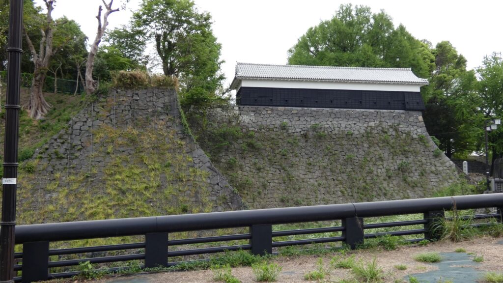
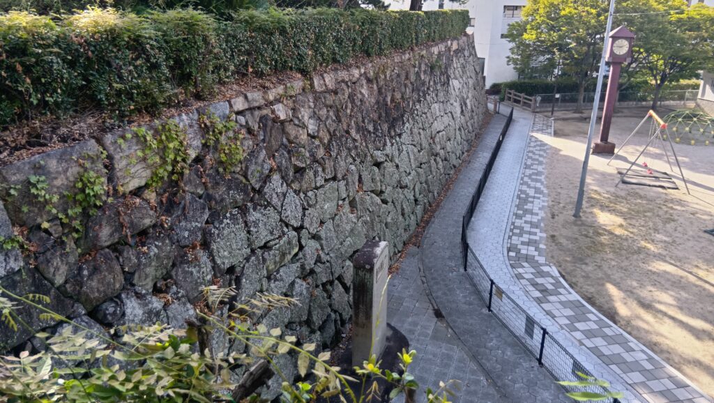
城町(しろまち)公園のところに、船入櫓跡の石垣が残っているのです。こちら方が先にできたのですが、街中に突然現れる感じがします。石垣自体は、福島時代以降に築かれたとされています。石垣のラインが折れ曲がっていいますが、ここは船入なので、敵船がきたときに、いろんな方向から反撃できるようにしたのです(横矢)。
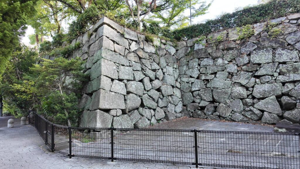
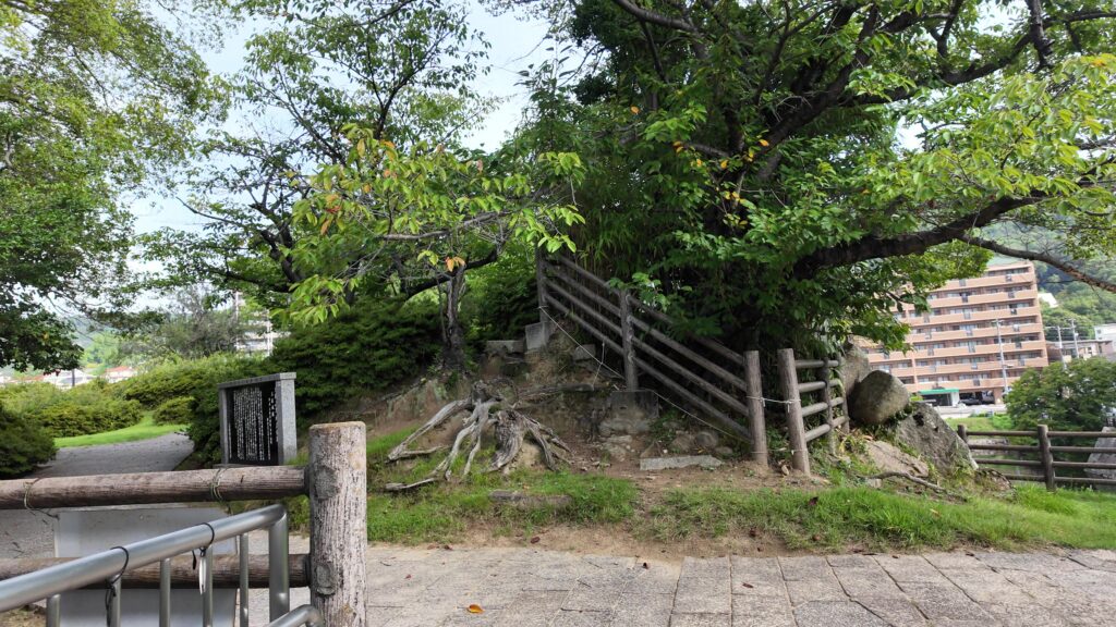
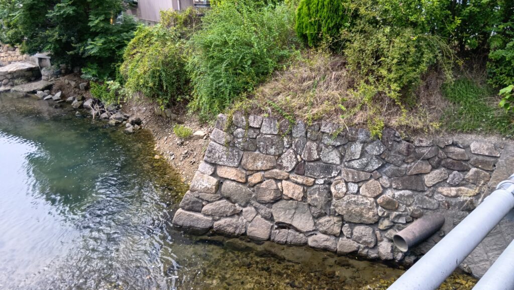
そして、なによりも面白いところが、曲輪の南東の隅に当たる場所にあります。石垣の石ではなさそうな岩があります。これは、元からあった岩礁なのです。ここは元あった島の一つ(小島)で、残っているこの岩礁がその証拠なのです。その周りも少しお堀として残しています。
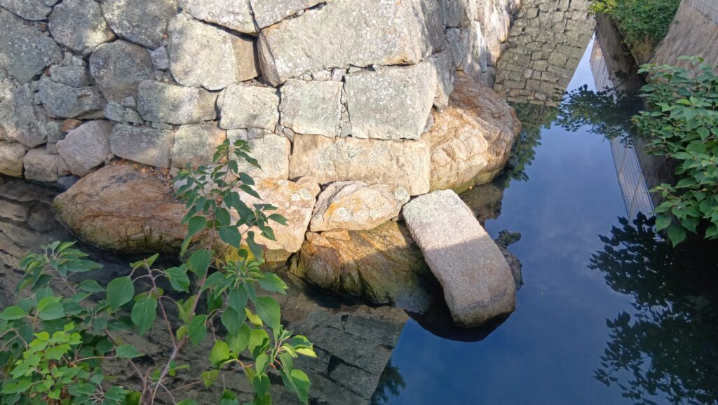
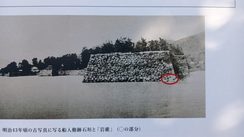
明治時代に撮られた古写真と比べると、今は全然違う様子ですが、この岩だけは、島だったとき、城だったとき、周りが市街地になってからも生き残ったのです。
まだ残っていた船入
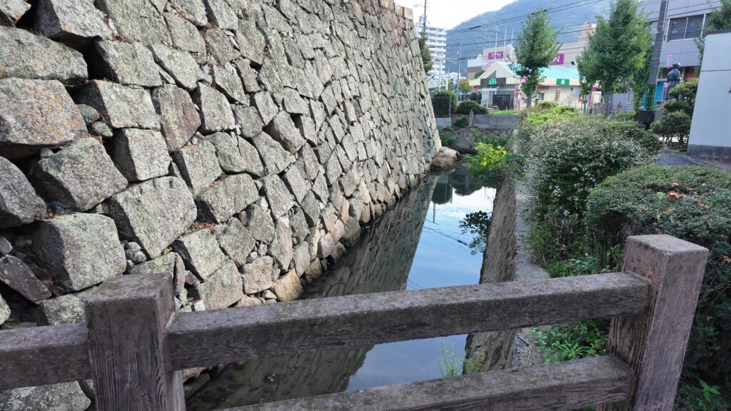
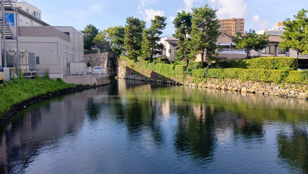
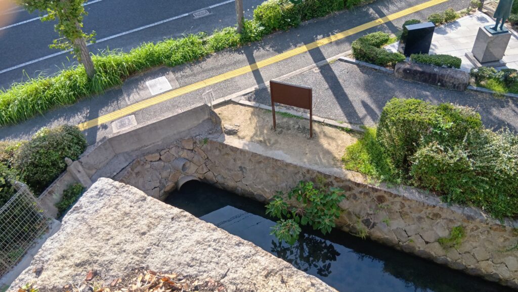
船入櫓の傍らには、船が入れる「船入」があったのですが、今は、岩礁の廻りのこの細い堀を残して、埋められてしまっています。でも実は、この奥の方に船入の一部が残っているのです。行ってみましょう。
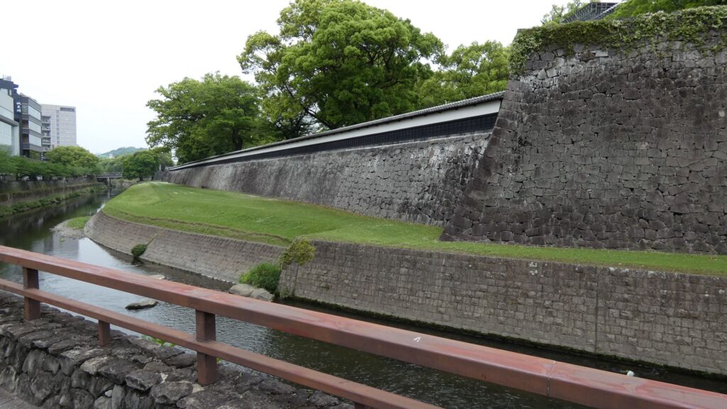
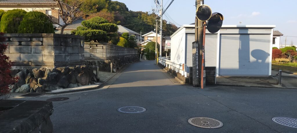
通りを少し歩きます。かつては、大体この左側が船入でした。左に曲がって、ずっとまっすぐ行くと、突き当りのところに水辺があります。錦鯉が泳いでいます。ここがわずかに残っている船入なのです。一部とはいえ、船が入ったところだとわかります。向こう側の岸は、二の丸への入口から、曲輪の東側のラインが残ったものです。
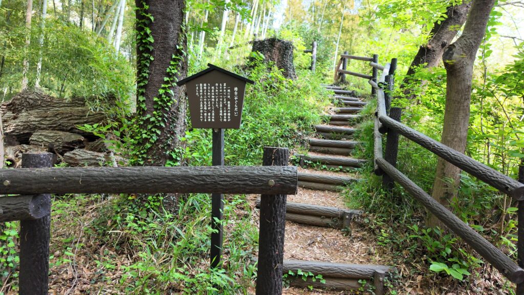
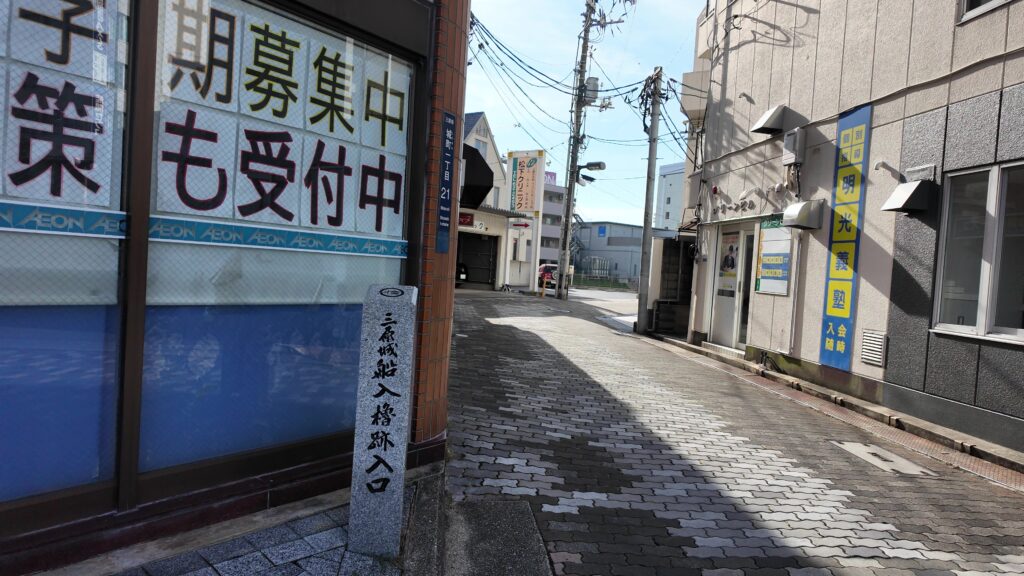
そのラインの先は船入櫓跡になっていて、石垣の上も公園になっています。そこにも行ってみましょう。今いるところは行き止まりになっているので、少し戻る必要があります。一旦三原駅の方に向かいます。案内があるので、斜めの道に入っていきましょう。
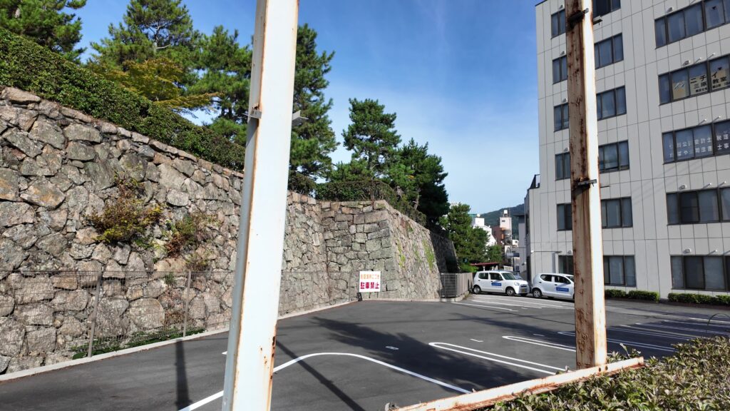
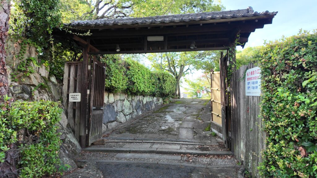
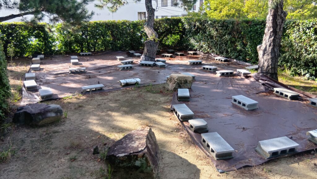
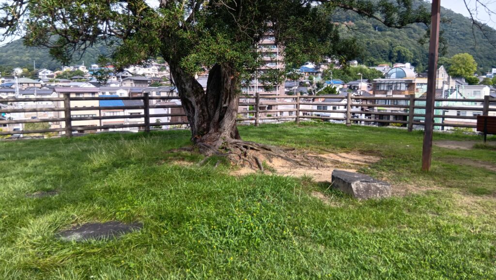
また船入が見えてきて、この辺からまた曲輪のラインに沿っています。登って行く感じが、島っぽくていいです。門がお出迎えで、入ってみると、垣根に囲まれた何気ない空間です。
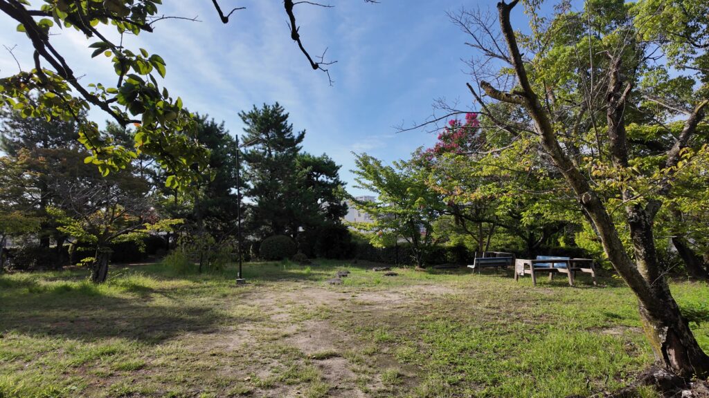
しかし周りと比べると随分高くなっています。しかも昔は周りは海だったのです。櫓があったらしい場所もあります。角地の下が例の岩礁です。ここも島時代から、現代に生き残っているのです。
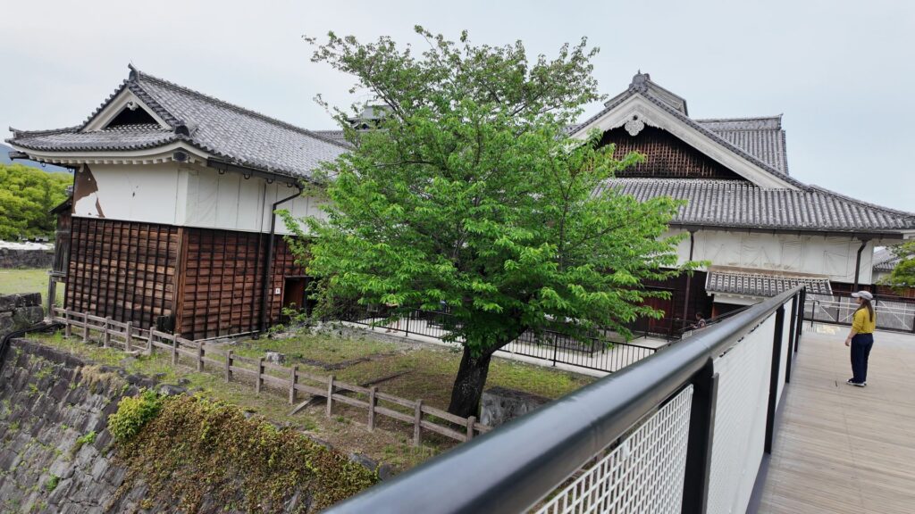
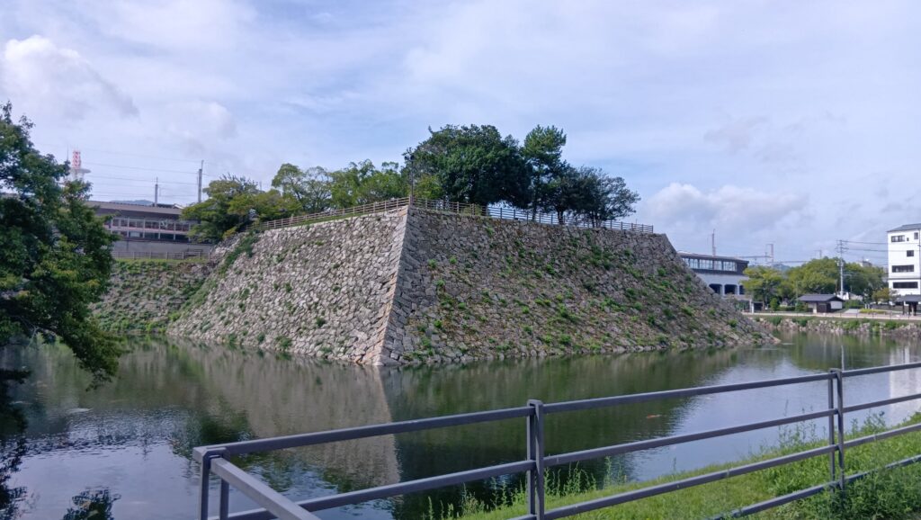
最大級の天主台を見学
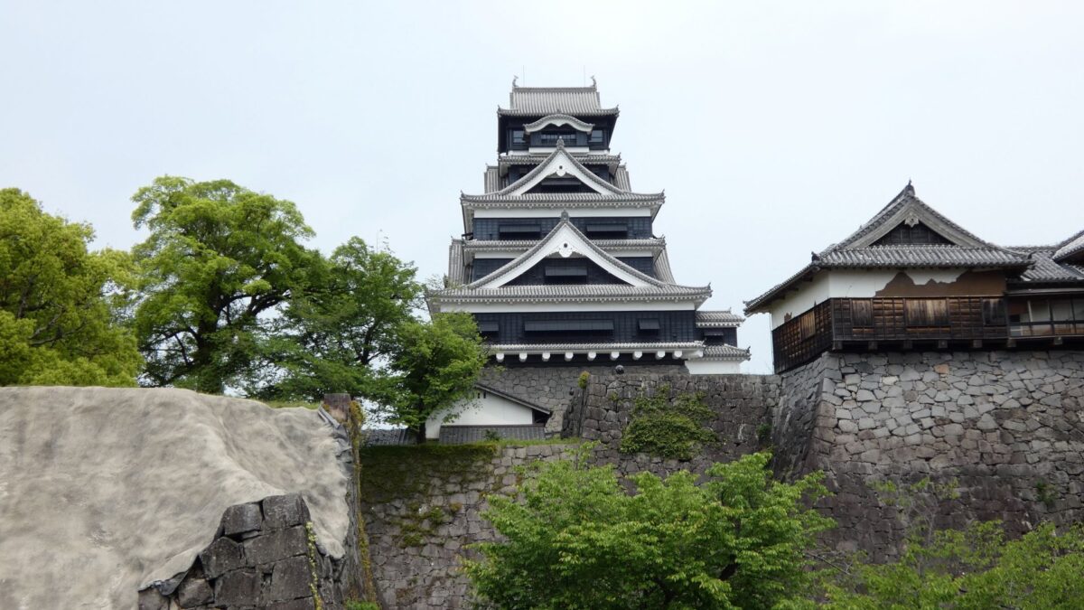
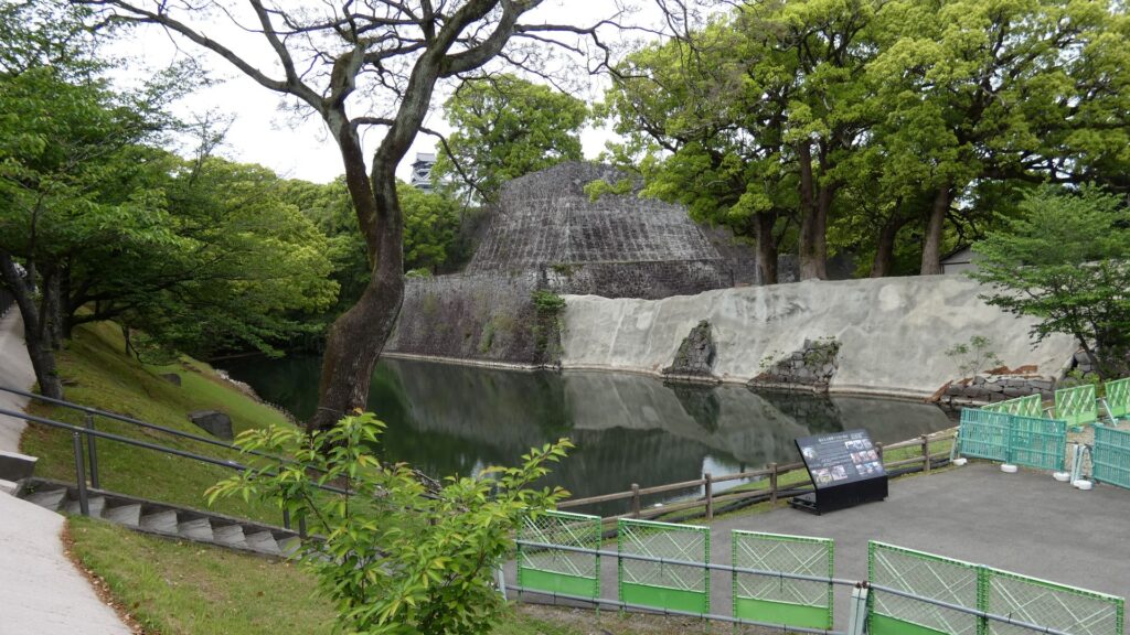
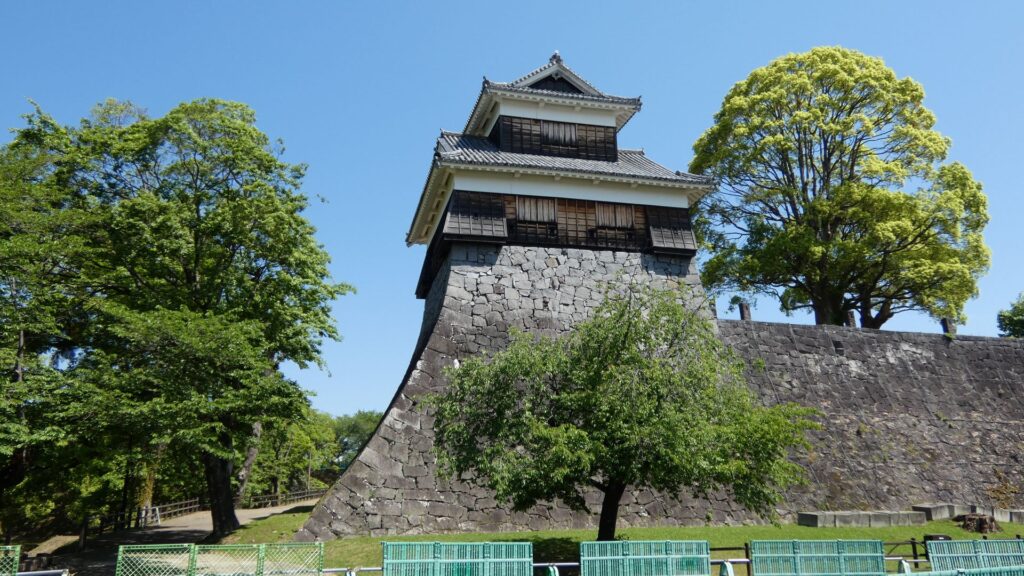
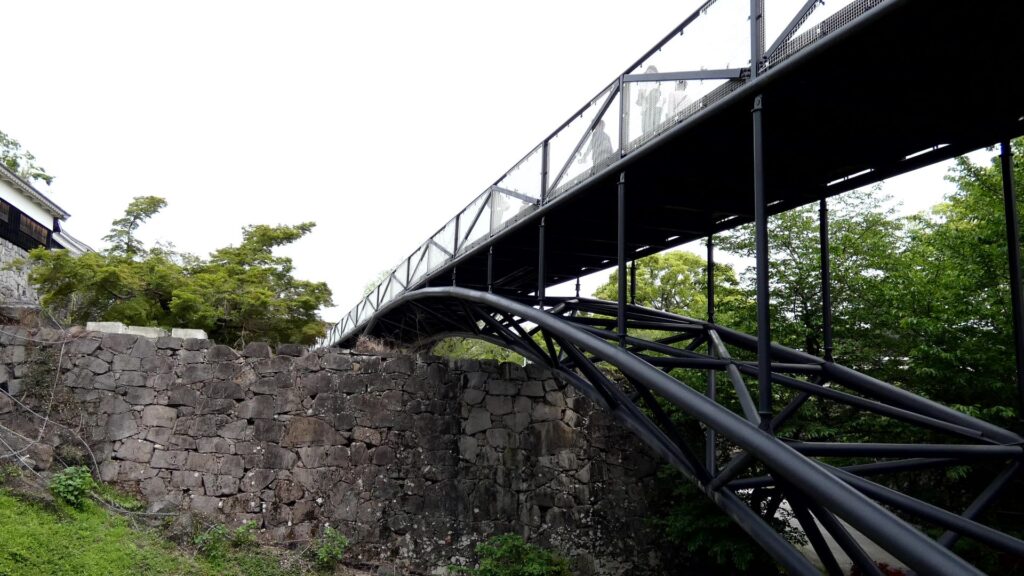
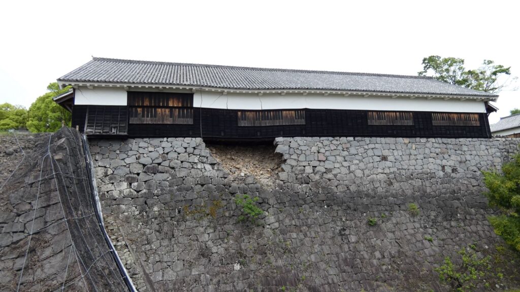
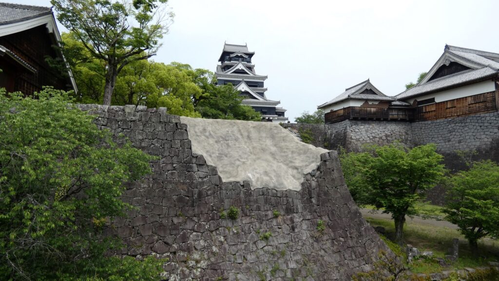
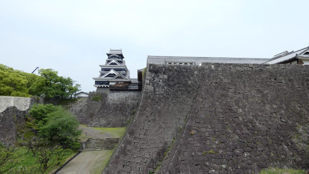
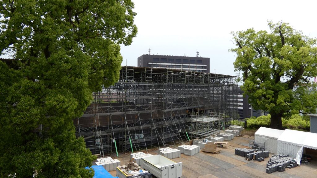
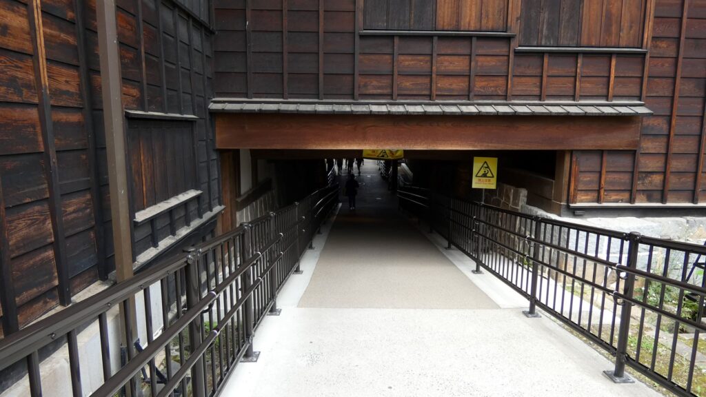
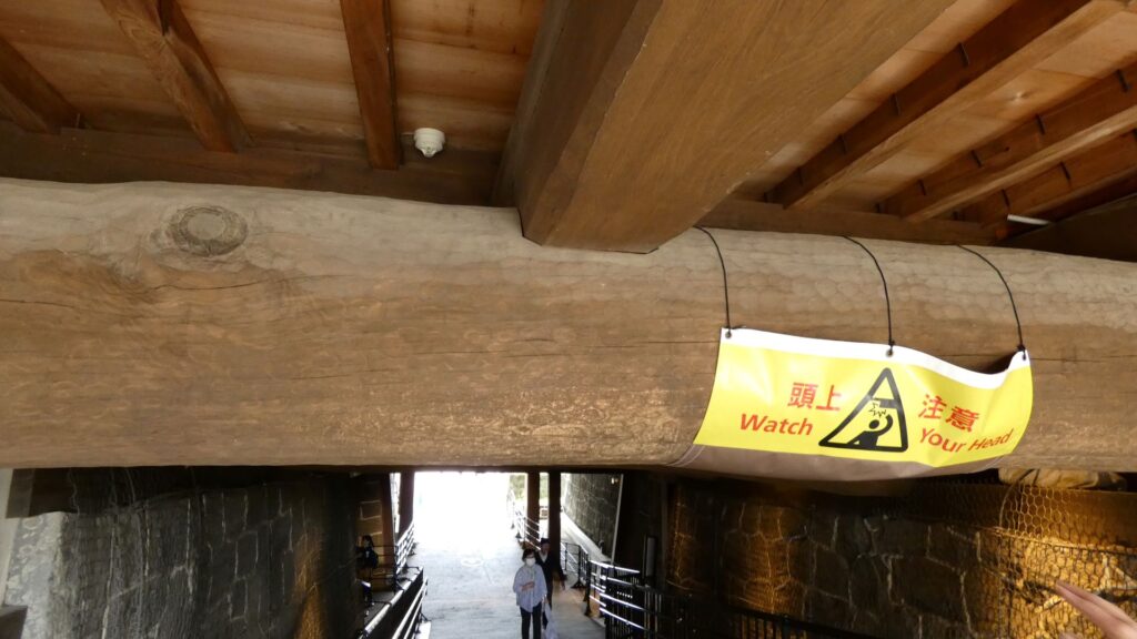
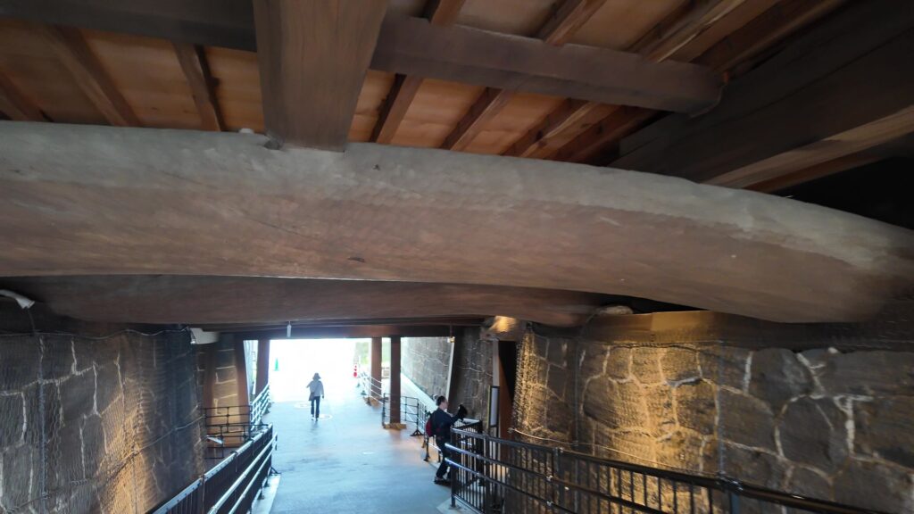
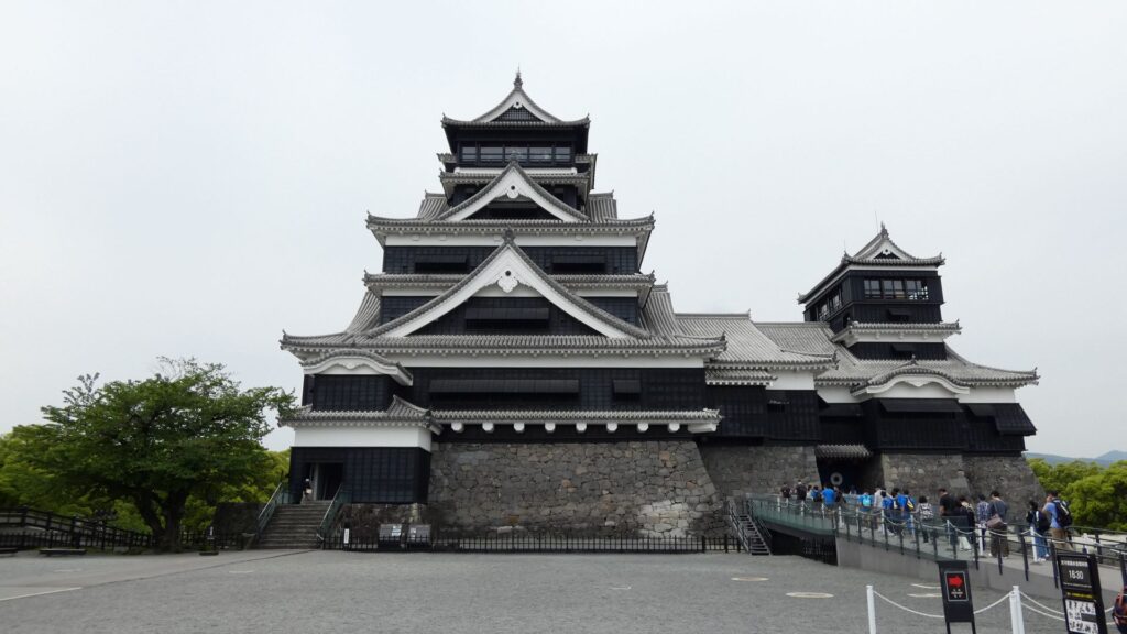
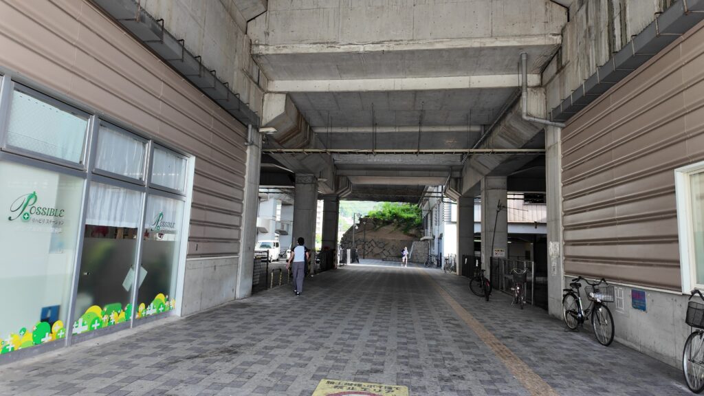
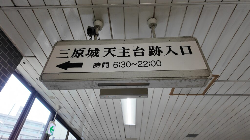
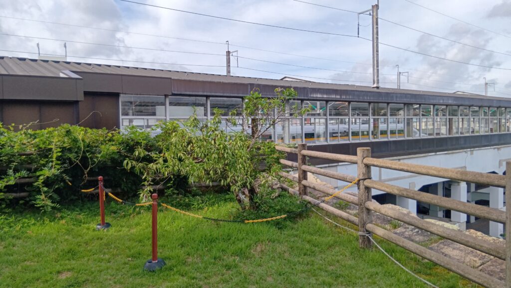
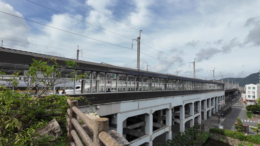
後半は、天主台を中心にご案内します。また駅前に戻っています。ここが本丸だったので、スタート地点にはちょうどいいです。今度は駅の反対側にいきます。また石垣が見えます。駅をくぐっている間にあるのが本丸の石垣で、出たところに現れるのが、小早川隆景が築いた天主台です。この隅の石垣の積み方がなんともかっこいいです。

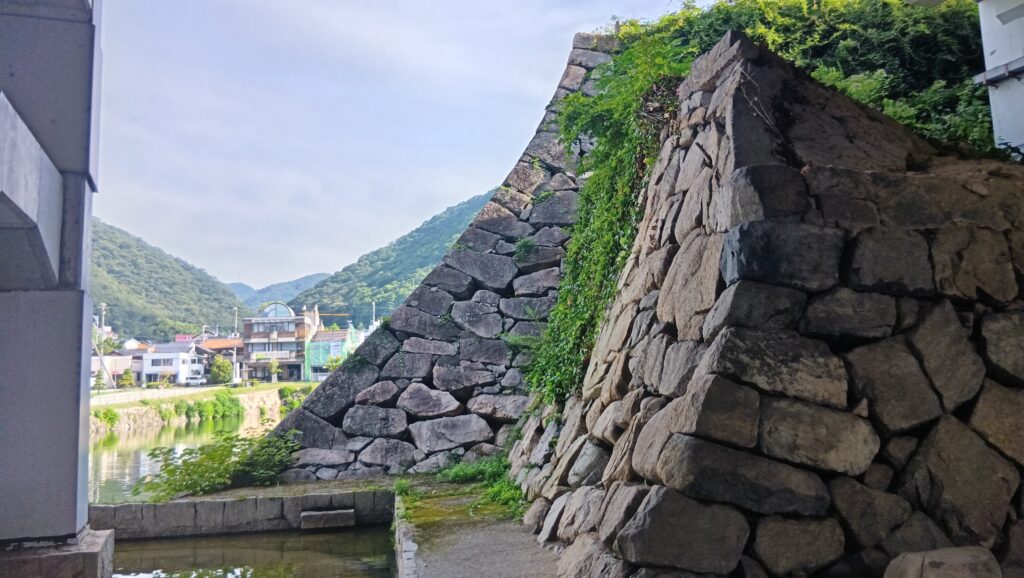
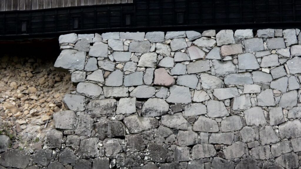
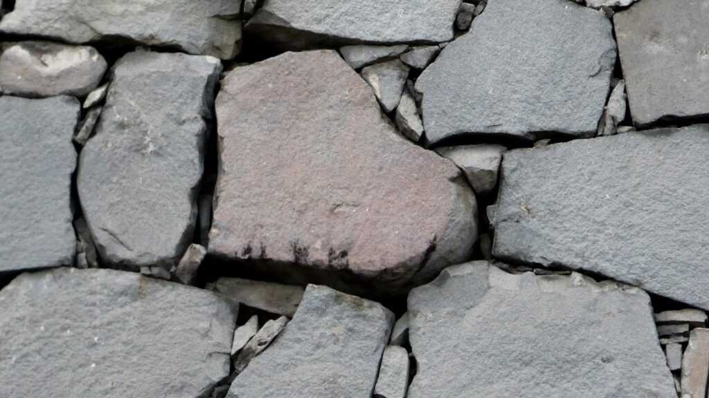
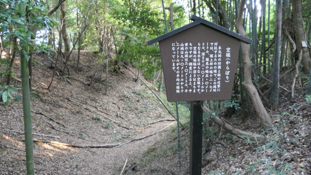
こちら西側の石垣は、その特徴から、隆景の時代に積まれたと考えられています。「あぶり積み」という方法で積まれています。通常は石の広い面を寝かせて積むのですが、この方法では広い面を表に出して積んでいるそうです。安定的ではないので危険な積み方とも言われるのですが、今でも健在です。当時としては最高レベルの職人技だったのでしょう。高さは約13メートルで、堀から直接積み上げる石垣としては最古級とのことです。
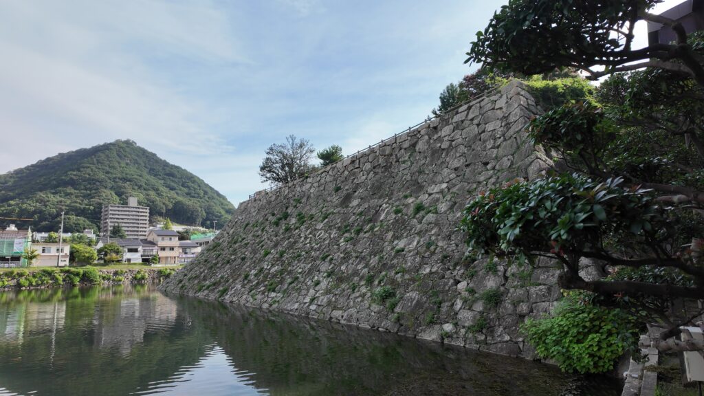
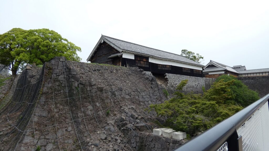
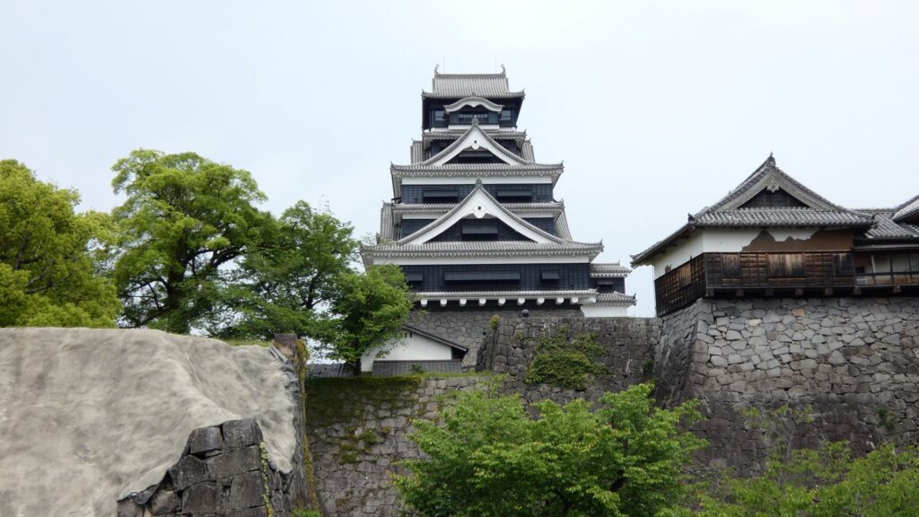
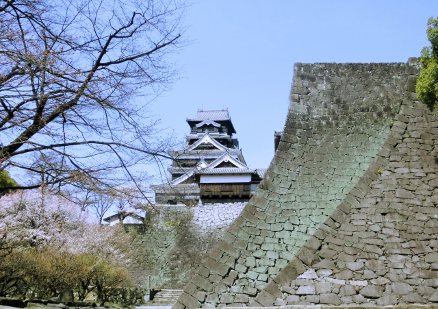
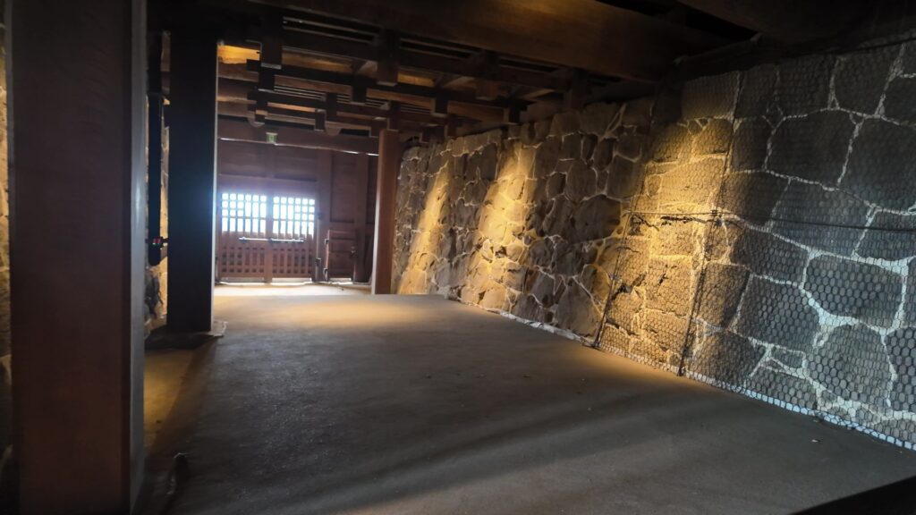
北側正面から見た天主台です。駅と一体化している姿も、定番になってきたように思います。その近くに、一部復元された後藤門石垣というのがあります。城の南側が海だったので、北側に西国街道が通り、その途中に後藤門があったのです。
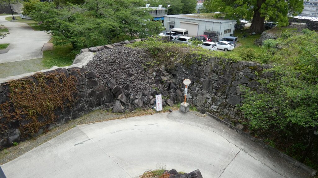
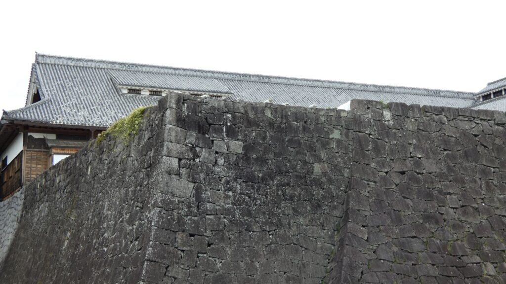
石垣を越えから見える天主台東側は、福島時代の改修または増築なのだそうです。隅の算木積みの積み方を比較すると、新しい福島時代方が整っているとのことです。
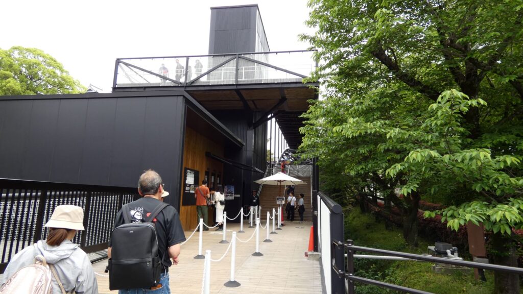
これぞ「城の駅」
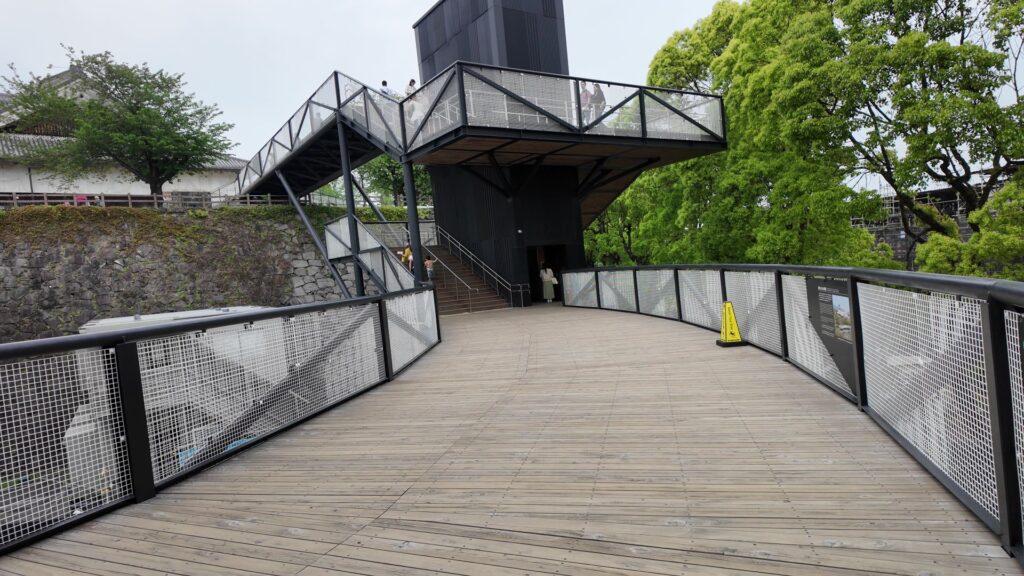
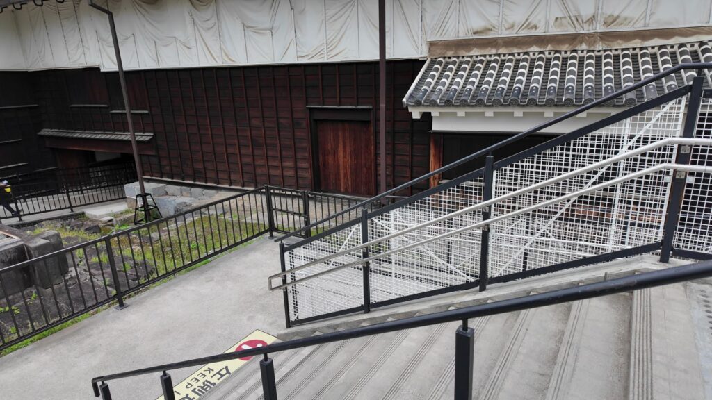
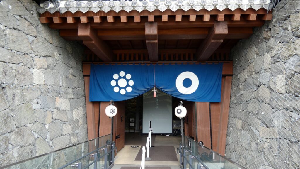
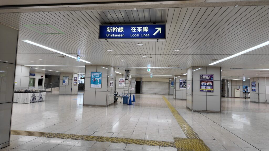
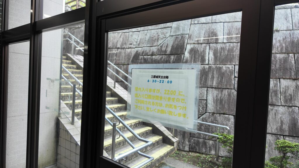
最後のセクションでは、駅から天主台の上に登ってみましょう。「城の駅」を堪能します。先ほど通った駅前から天主台への通路の途中から、駅構内に入っていきます。右側が改札ですが、私たちは左に曲がって、階段を登ります。天主台の案内があります。向こう側に見える絵は、海に面した城の姿でしょう。
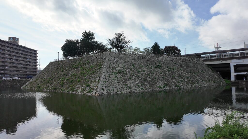
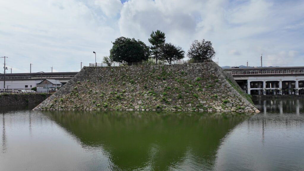
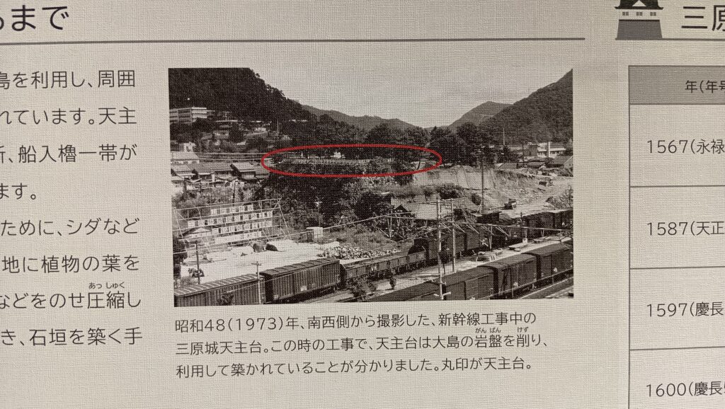
ここが入口のドアです。ドアを開け閉めして階段をまた上がります。天主台上に到着です。ゴツゴツした感じがして、ここも島だったという雰囲気があります。実際、新幹線の工事のときに、島を削って造成したことがわかったそうです。
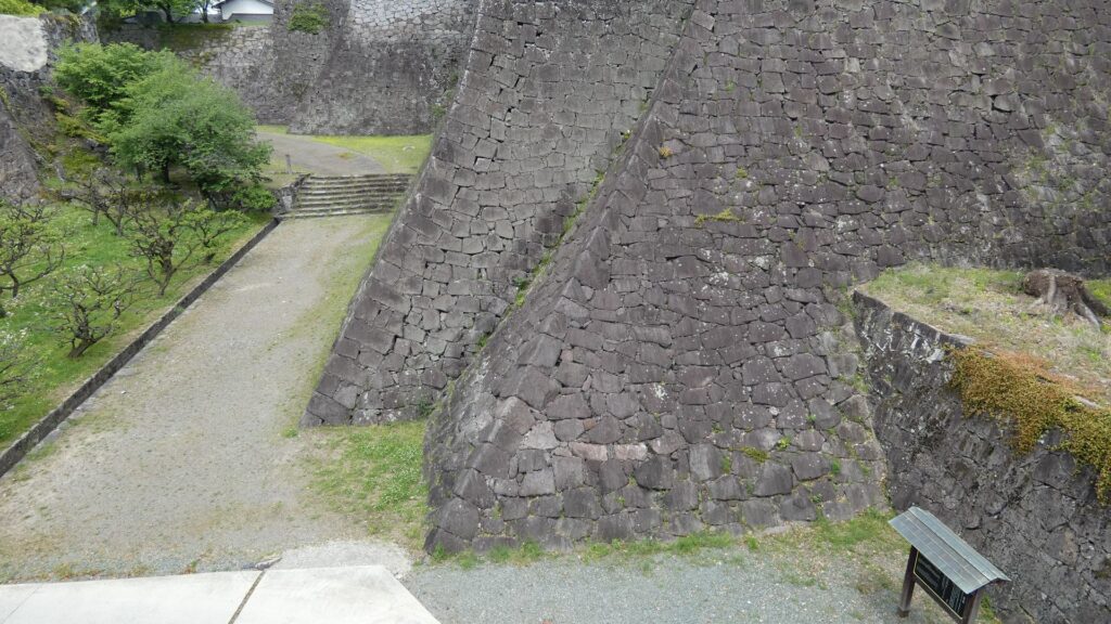
周りを歩いてみましょう。天主台というより、曲輪という感じもします。実際に隅には櫓が3基ありました。駅に一番近いところに一基、そこから離れていって、北西隅のところに一基、元々城があった桜山を見ながら、進んだ先の北東隅にも一基あったのです。
「城の駅」らしさをもっと体感してみたければ、新幹線が通り過ぎたり、発着するのを眺めましょう。
関連史跡
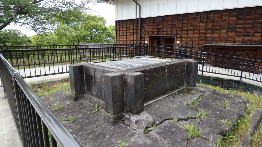
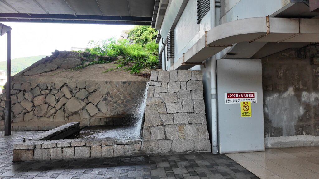
他の見どころも少しご紹介します。まず「水刎(みずはね)」です。昔の絵図で見ると、堀と一緒に外側の川(和久原川)が曲げられているところで、水の流れを緩やかにするために築かれた石垣です。
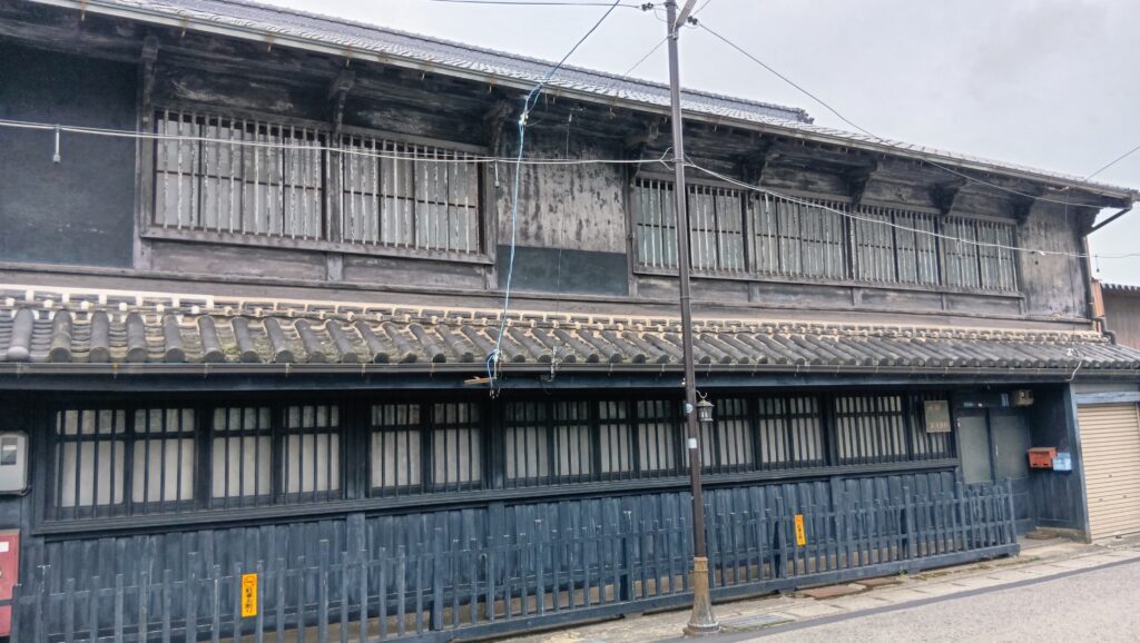
それから城の西の方、西国街道沿いのかつての城下町には、今も古い町並みが残っています。
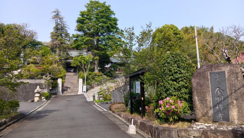
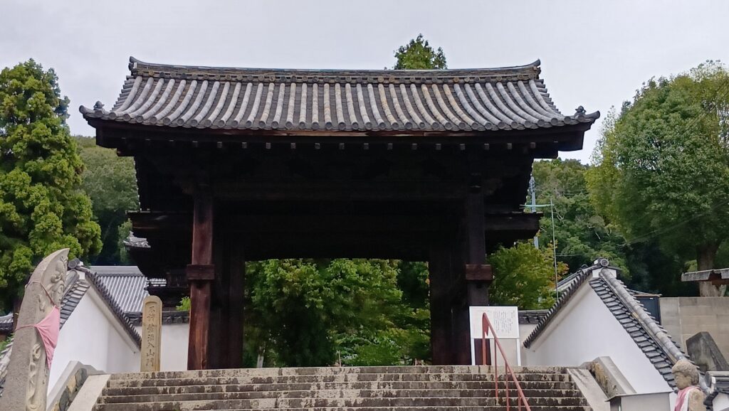
その周辺には、三原城から移されたと伝わる門(順勝寺山門)や、新高山城から移されたと言われる門(宗光寺山門)があります。宗光寺山門については、建物の形式からは、福島時代に建てられたとも考えられるそうです。
私の感想
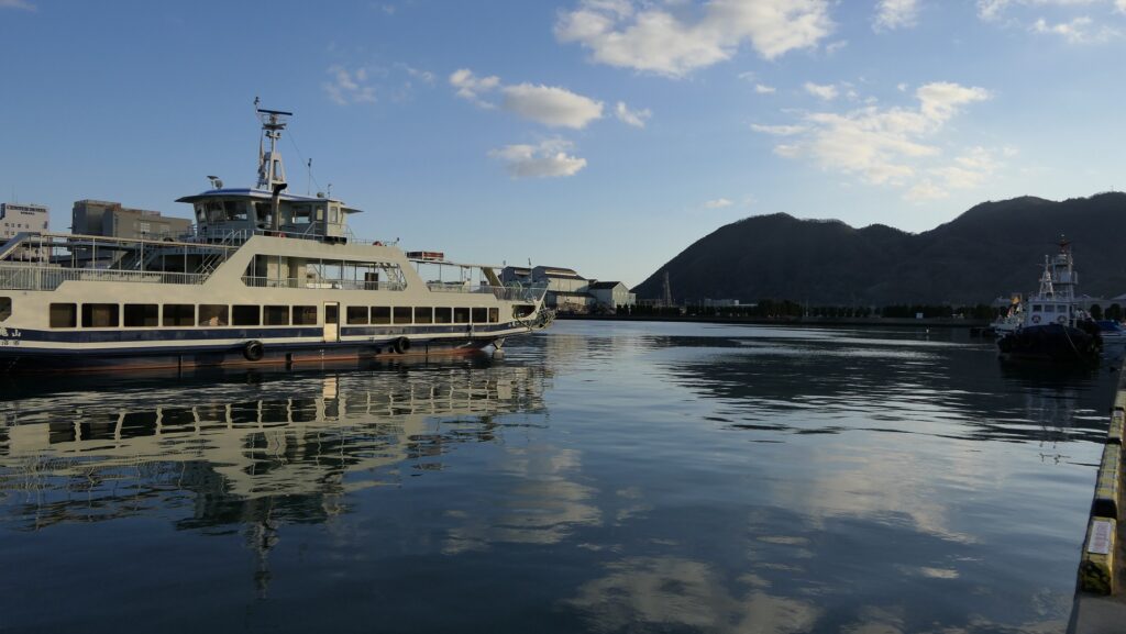
最期は、三原港に来てみました。意外と駅から近いところにあります。残っている史跡をめぐってみて、海城・三原城を想像することができました。それに昔、島だったところが、天主台や櫓跡として市街地の中で残っているのを見て、先祖返りしたようにも思えました。自然の地形が、ずっと今の町の姿にも影響しているのです。
リンク、参考情報
・三原城跡、三原観光navi(三原観光協会)
・中井教授インタビュー、三原市
・戦国ジジイ りりのブログ
・まっつんのブログ 明るく楽しく元気よく!
・「ミネルヴァ日本評伝選 小早川隆景・秀秋/光成準治著」ミネルヴァ書房
・「小早川隆景のすべて」新人物往来社
・「”大気”な武将 小早川隆景/中西豪著」歴史群像125号記事
・「三原城本丸大広間についての考察 /佐藤大氏論文」 広島大学学術情報リポジトリ
「三原城・新高山城 その1」に戻ります。
「新高山城 その2」に戻ります。
これで終わります、ありがとうございました。