Introduction
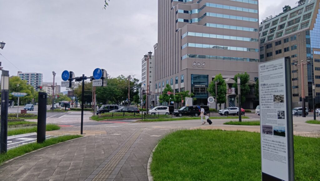
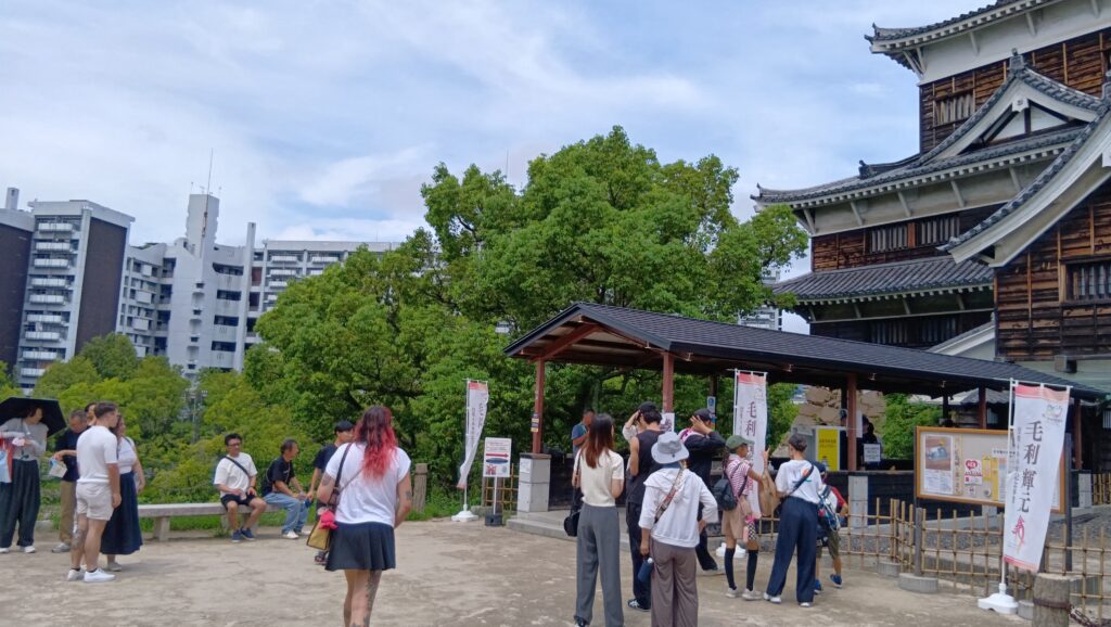
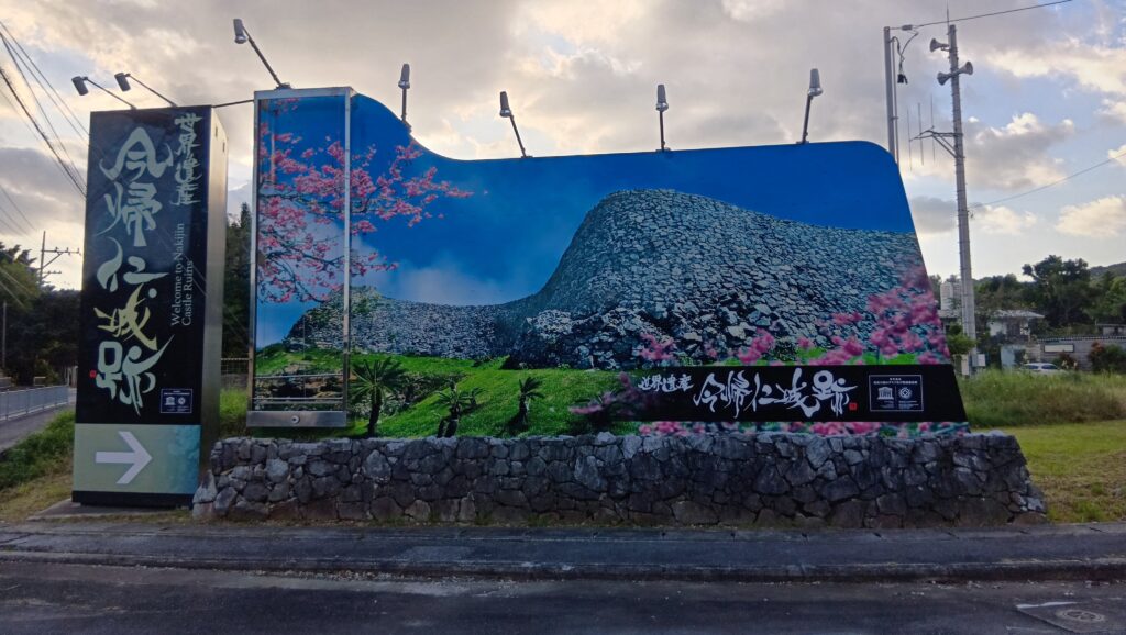
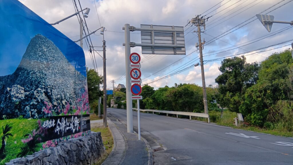
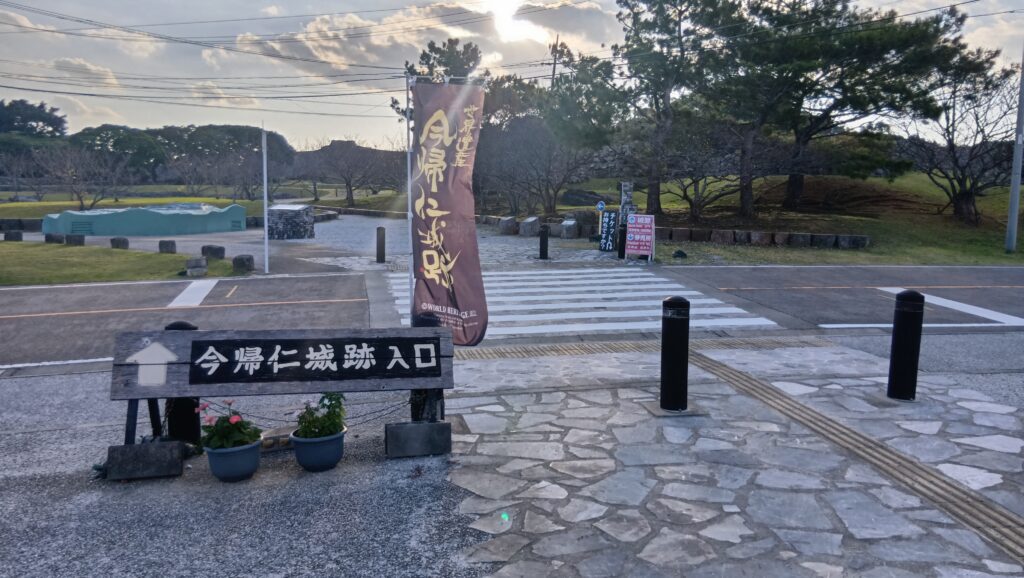
今日は、沖縄県今帰仁村、今帰仁城跡案内板の前にきています。どーんと目立つグスクのディスプレイがかっこいいです。
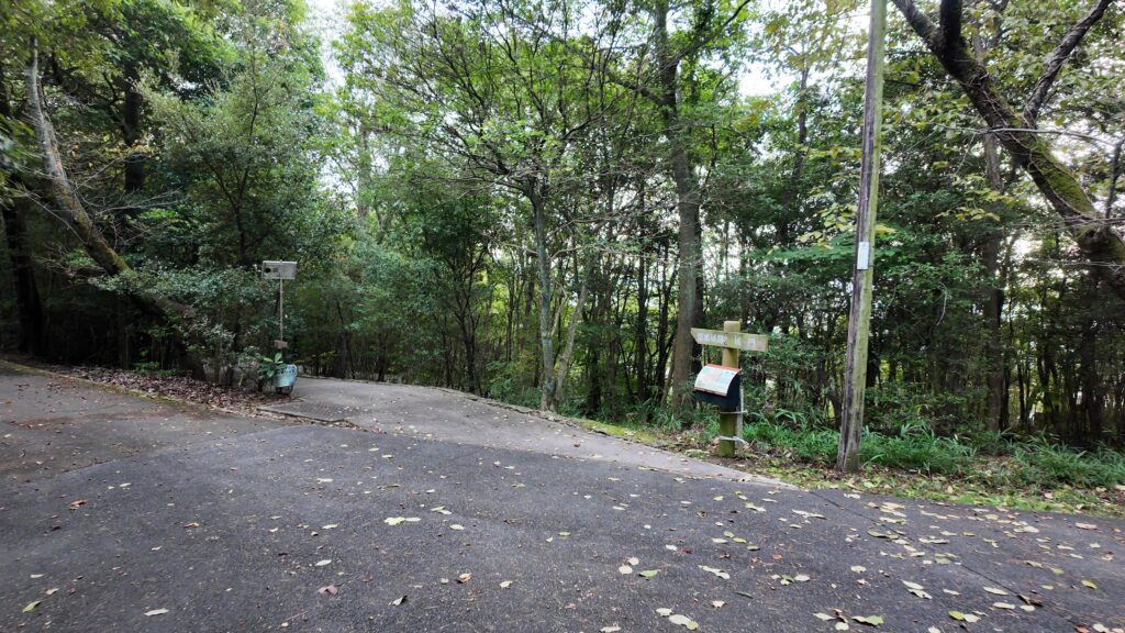
ここから車などで登っていけば、駐車場があるところに着きます。
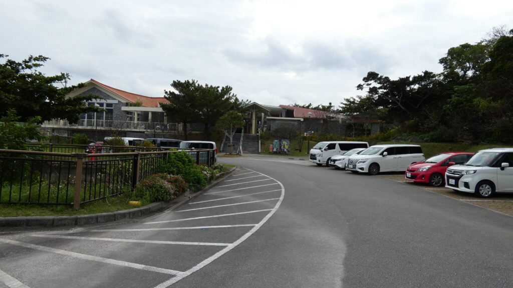
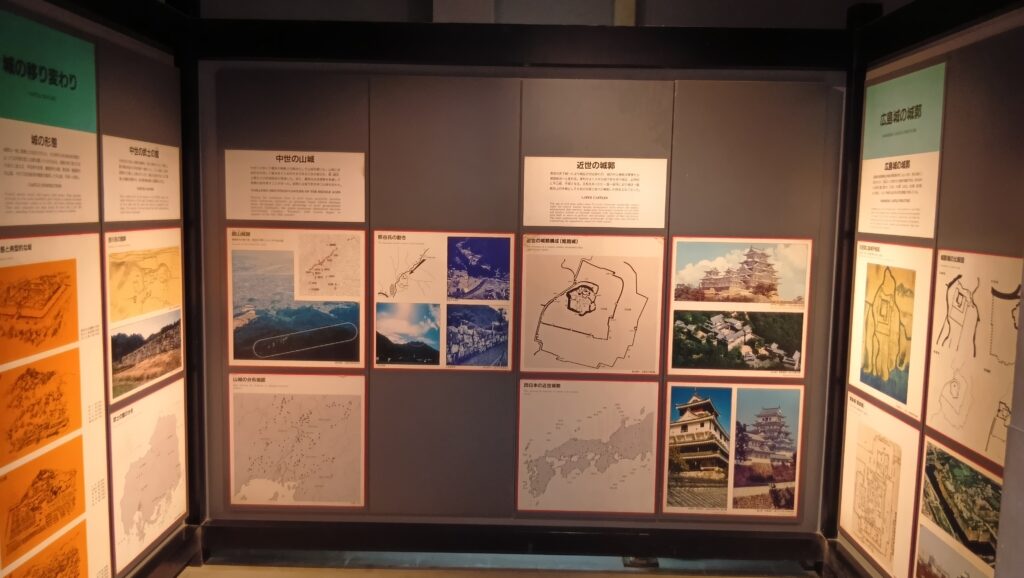
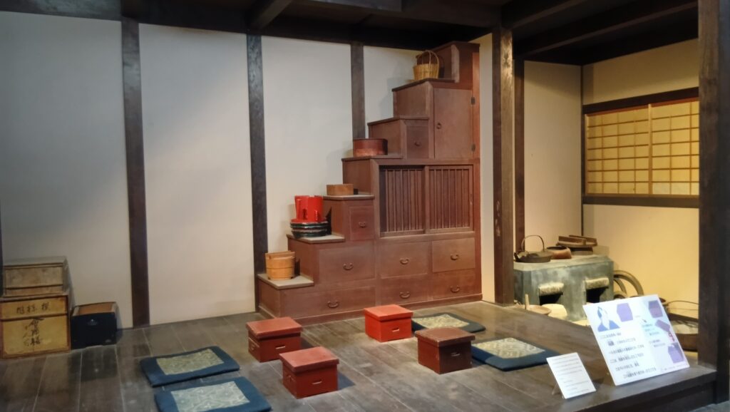
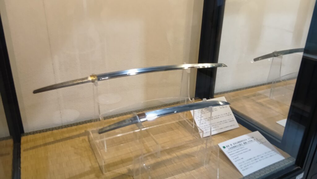
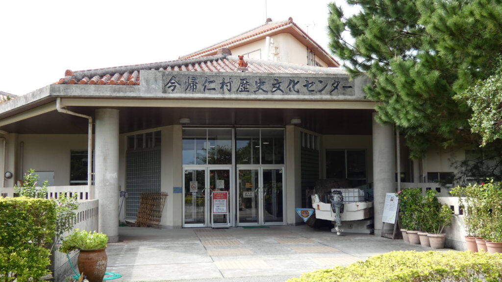
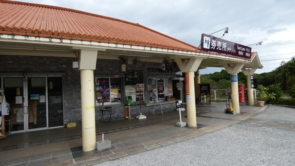
そこから先にはビジター向けの施設がいくつもあって、例えば今帰仁村歴史文化センターでは、グスクや郷土の歴史のことを勉強できます。券売所では、チケットだけでなく、パンフレットや御城印が手に入ります。
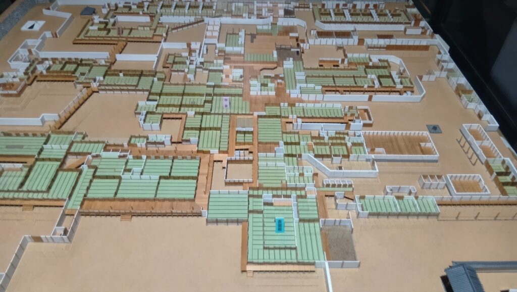
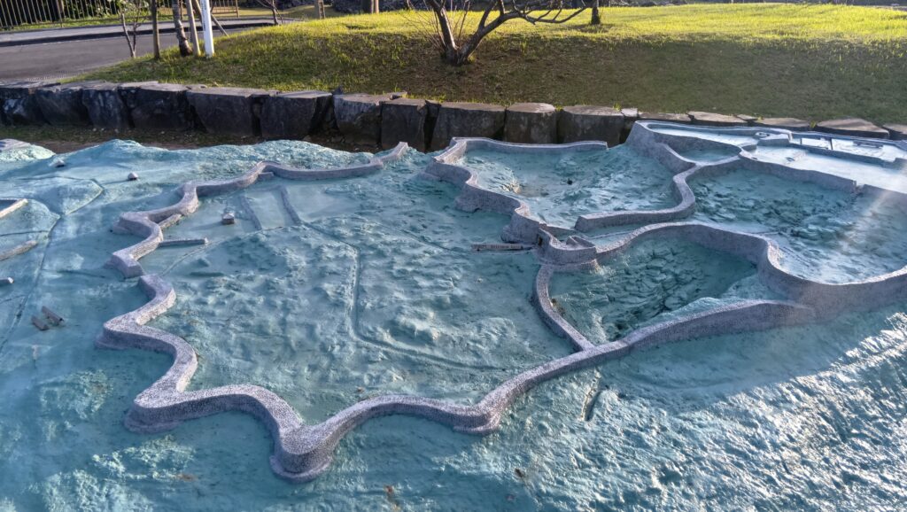
グスク跡の入口にはグスクの模型があって、気分が出ます。
しかし、入口から少し離れたところで、下からオリジナルの登城道があるという情報を発見しました。これはあくまでオプションですが、下の方に戻って、ご案内をやり直すことにします。
今回の内容を趣向を変えて、Youtube にも投稿しています。よろしかったらご覧ください。
特徴、見どころ(今帰仁城 景色と歴史ツアー)
登場道「ハンタ道」をゆく
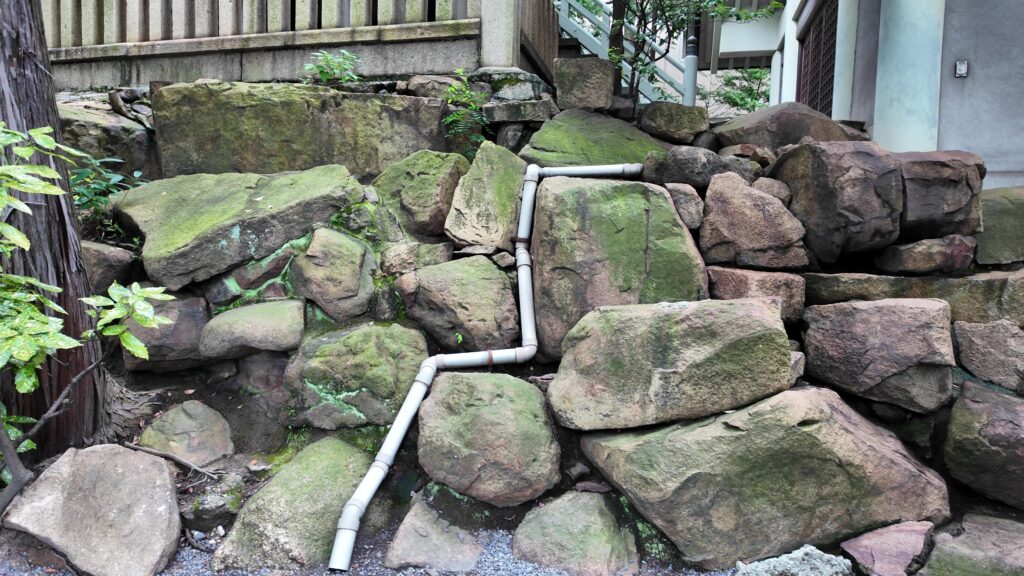
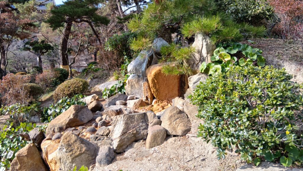
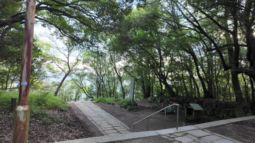
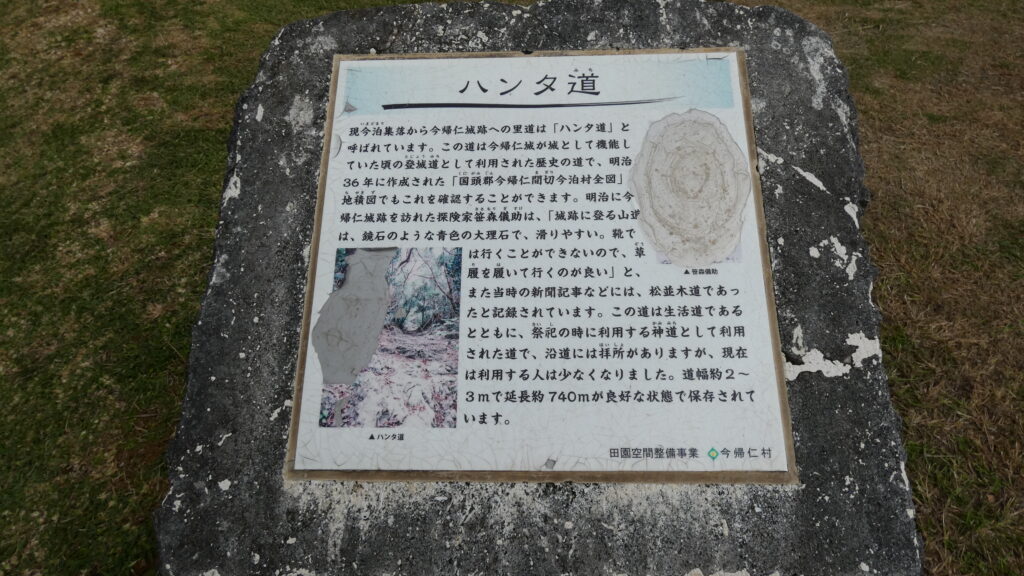
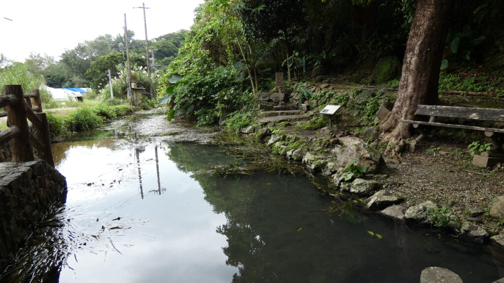
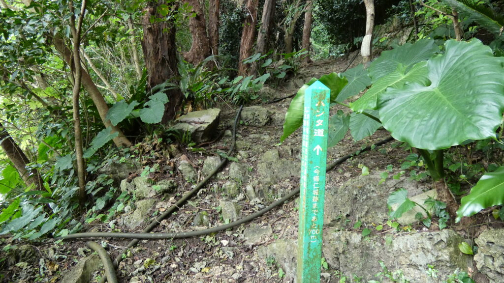
ここが「ハンタ道(みち)」と呼ばれる登城道への入口付近です。脇を川が流れています。親川(エーガー)という泉で、住民の方からは崇拝の対象にもなってきました。自然の恵みを大切にしているのでしょう。
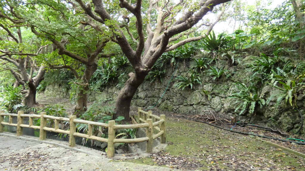
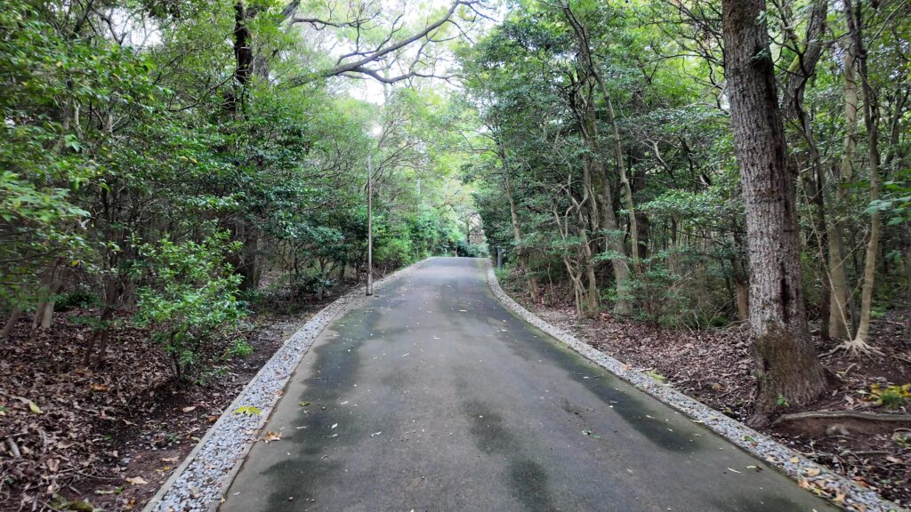
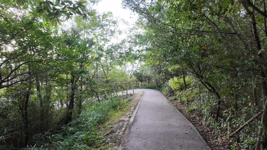
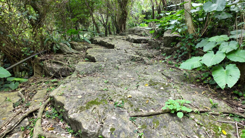
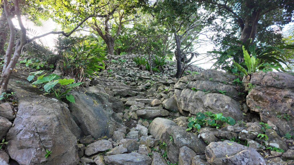
ハンタ道に入ります。山道ですが、石が多いです。石が敷き詰められているようです。石垣もあります。かつては松並木もあったそうです。
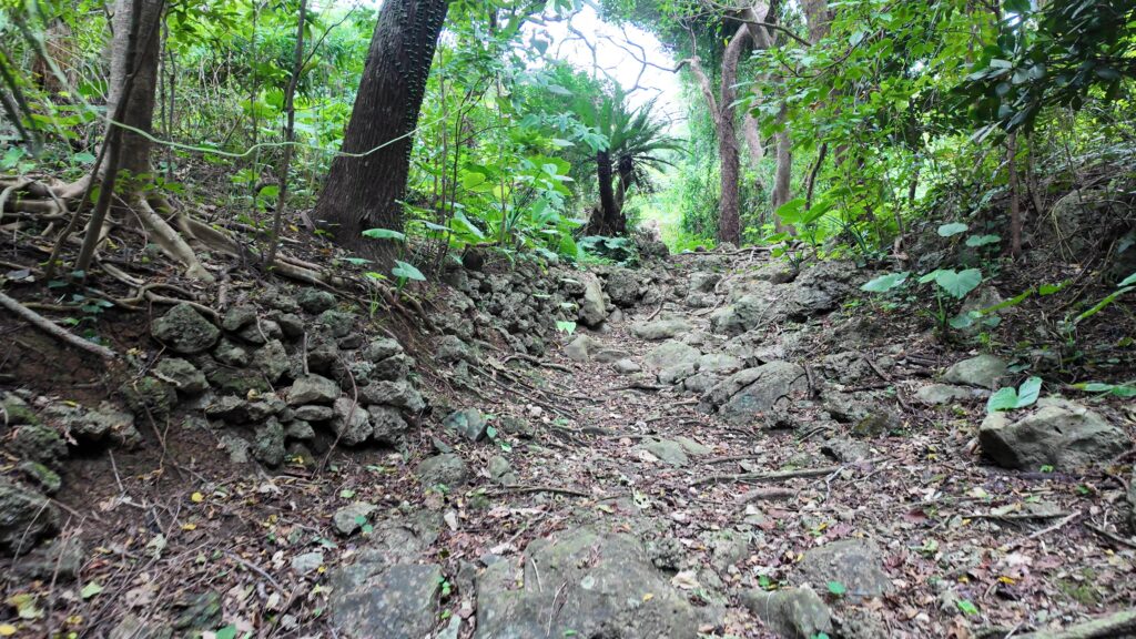
まるでタイルのようになっているところもあります。明治時代の探検家は「城跡に登る山道は、鏡石のような青色の大理石で、滑りやすい」と述べています。その面影が今でも残っています。
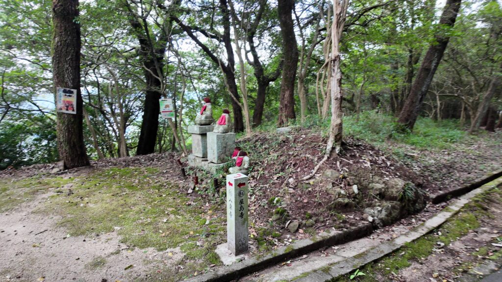
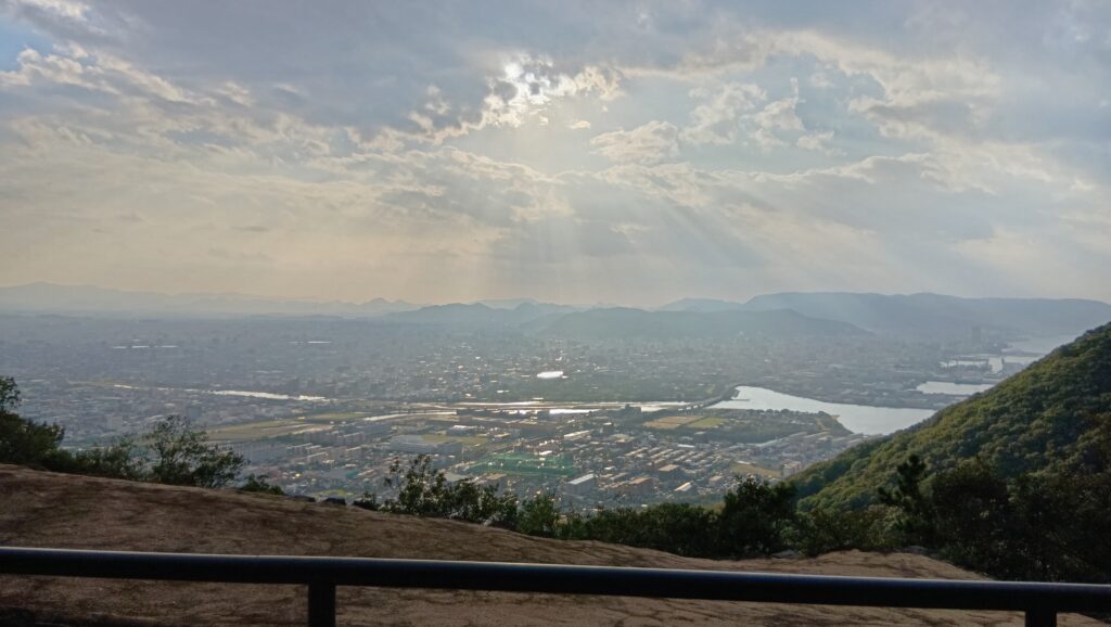
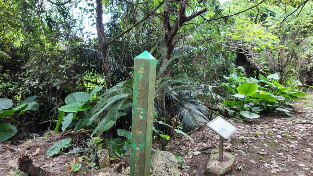
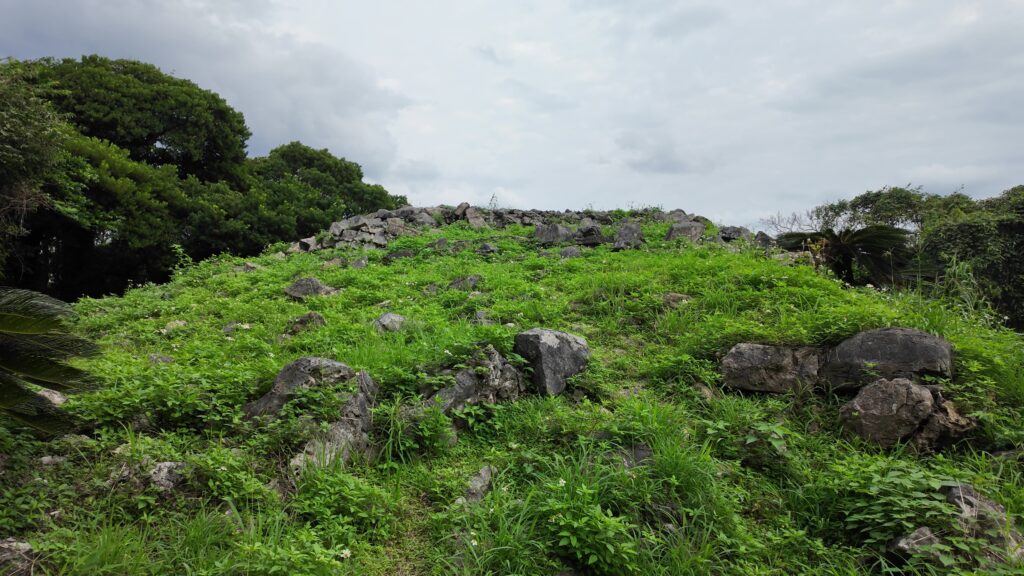
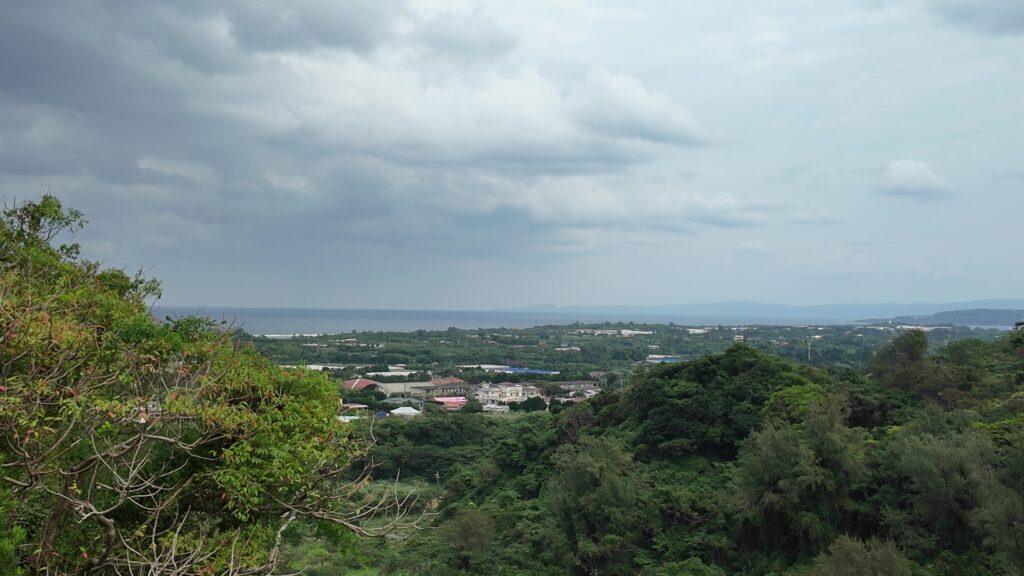
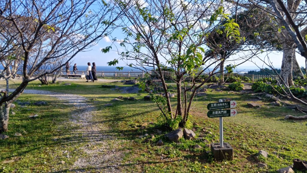
だいぶ登ったところに別の案内があります。「ミームングスク」今帰仁城の出城のようなグスクです。石積みが残っていますが、慎重に登りましょう。海が見えます。そして目を転じると、今帰仁城の曲輪(志慶真門郭)も見えるのです。
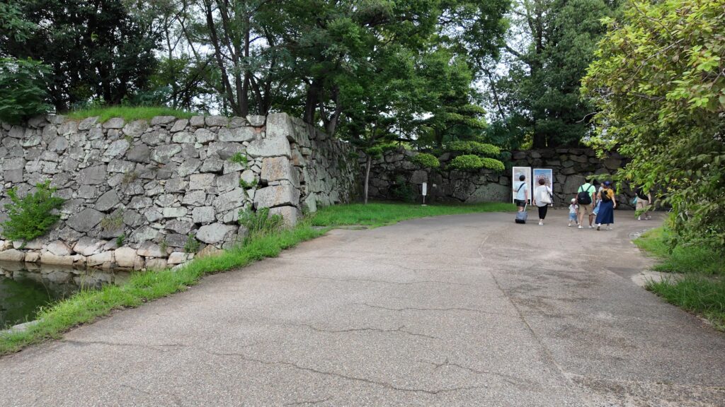
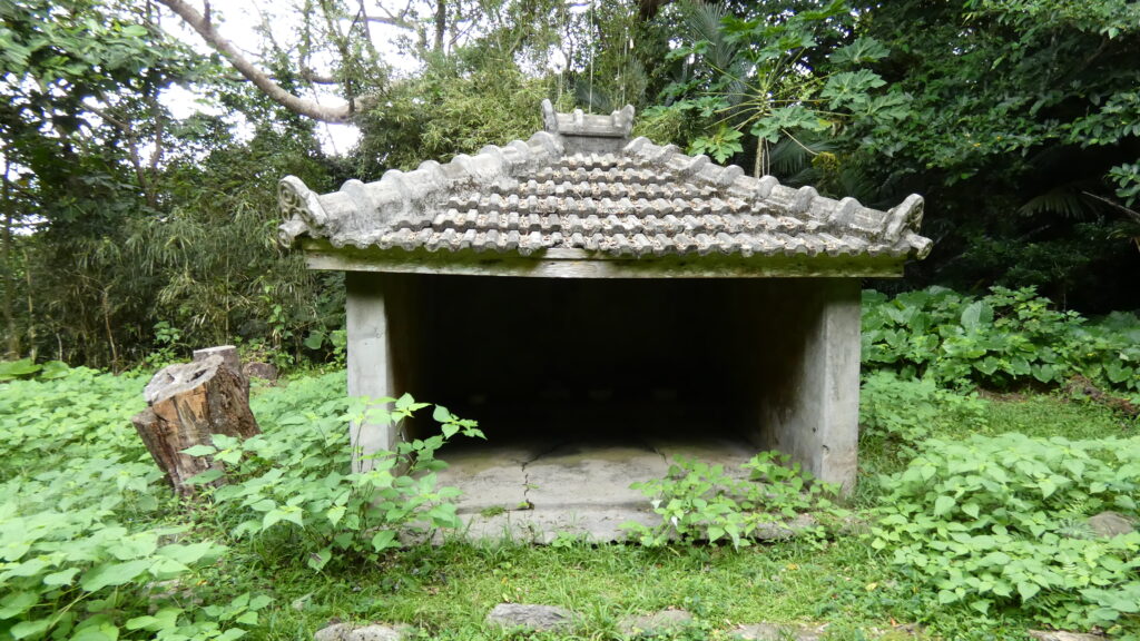
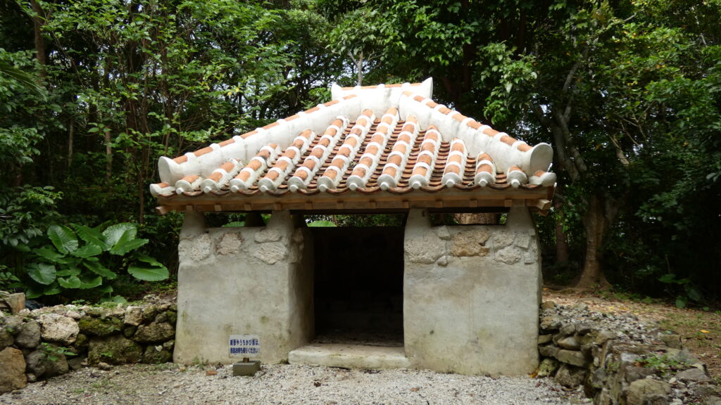
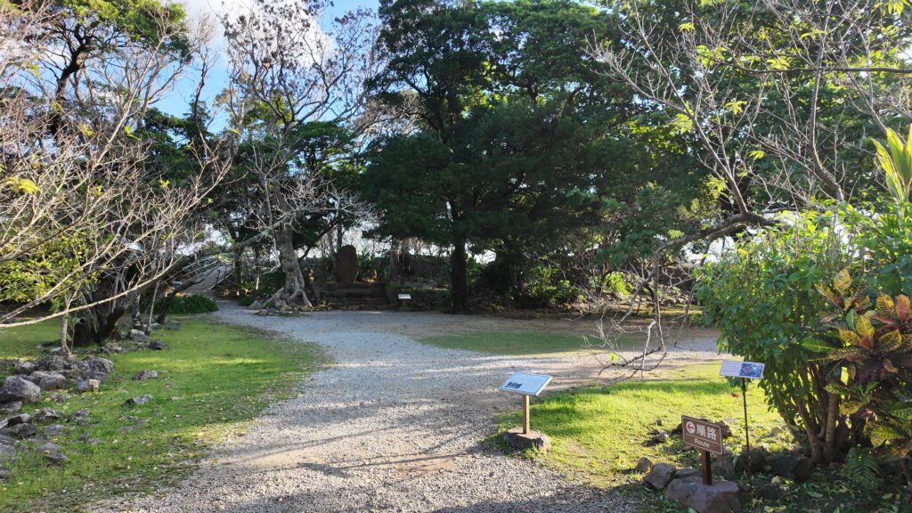
もうすぐ今帰仁城に再到着です。その周辺には、祈りの場所がいくつもあるのです。沖縄のグスクの特徴です。ハンタ道は、その参道としても使われたそうです。グスク跡の入口に戻ってきました。
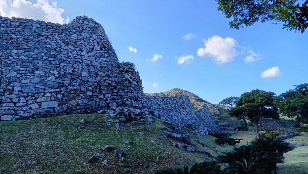
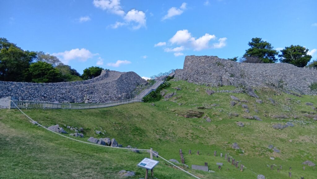
すばらしい石垣
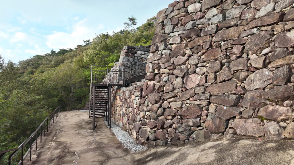
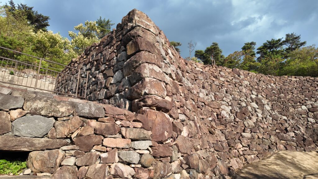
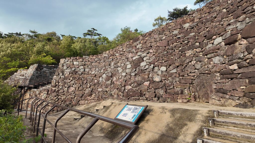
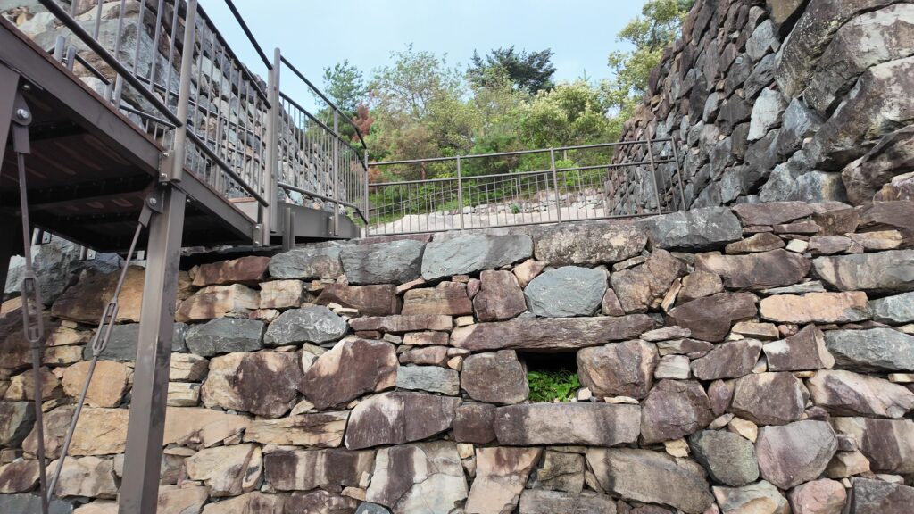
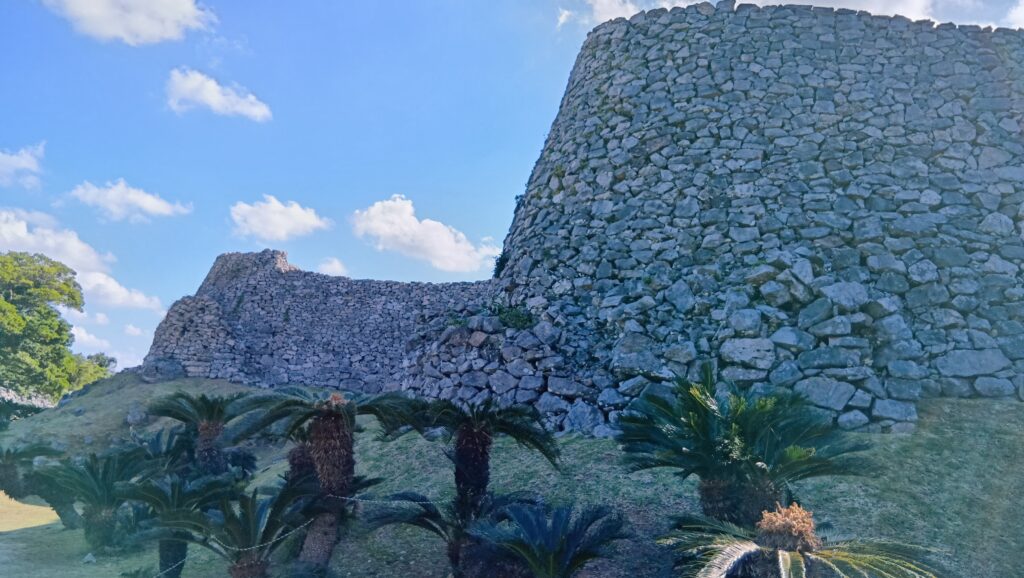
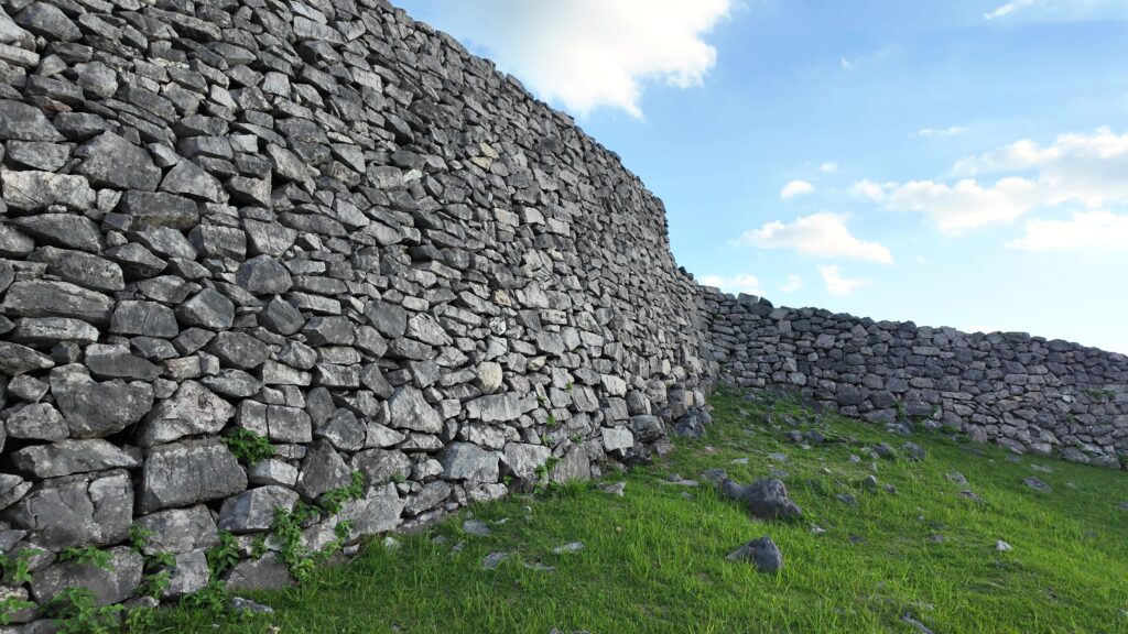
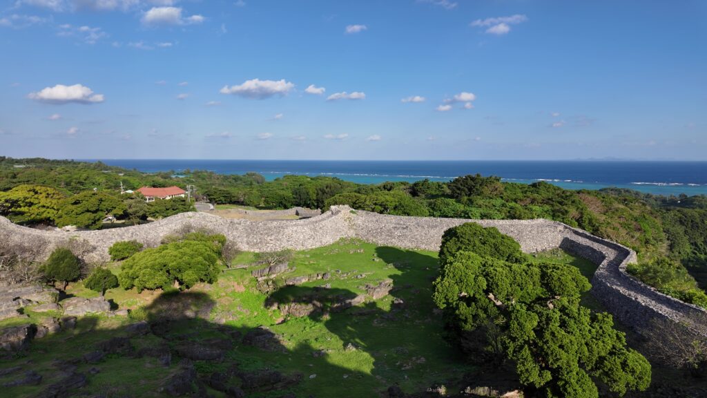
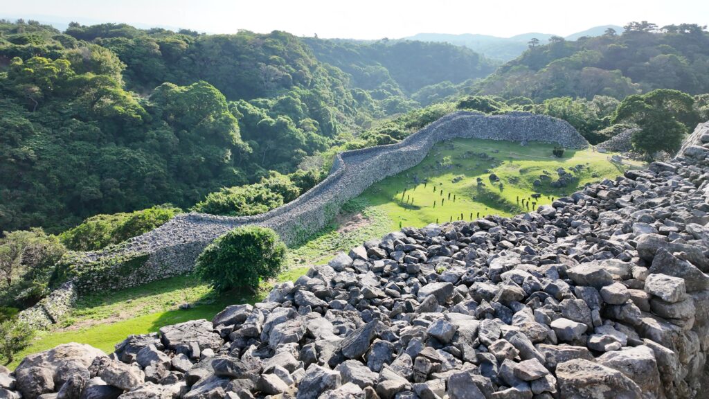
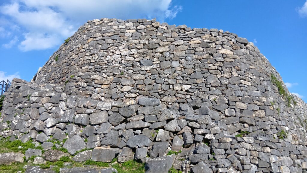
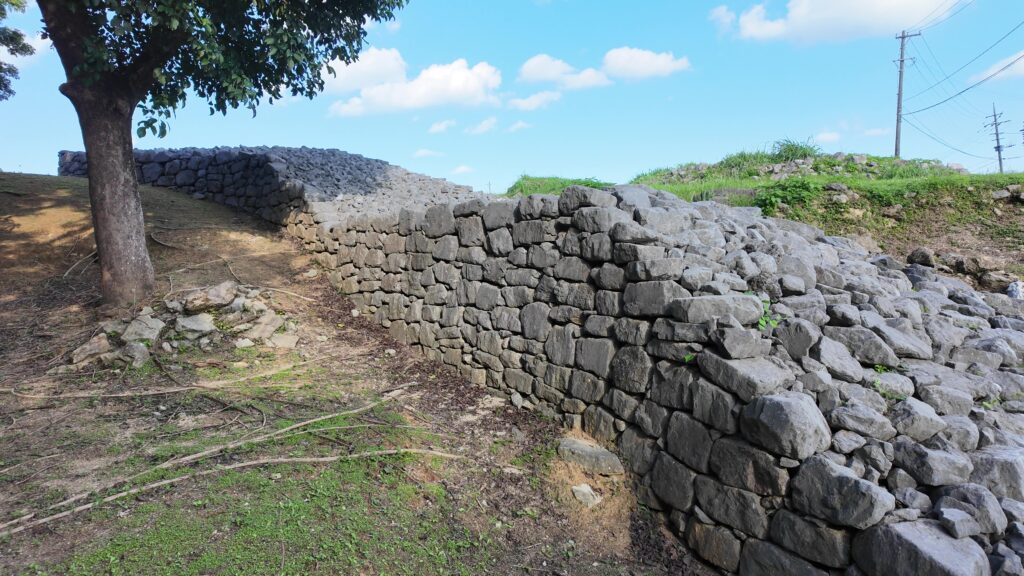
それでは、外郭の石垣を眺めながら、大隅(うーしみ)の石垣に迫っていきましょう。一番有名かもしれないスポットです。やっぱり記念撮影場所にもなっています。ほんとうに城壁、という感じがします。グスク全体で見ても、中心部を守る要の位置に当たります。きっと石垣の上から兵士が見張っていたのでしょう。
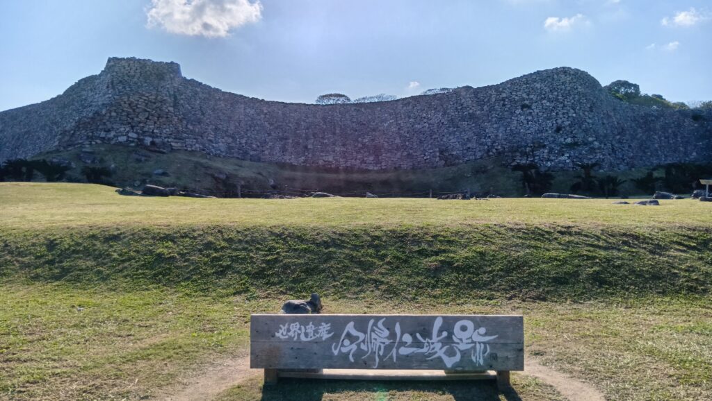
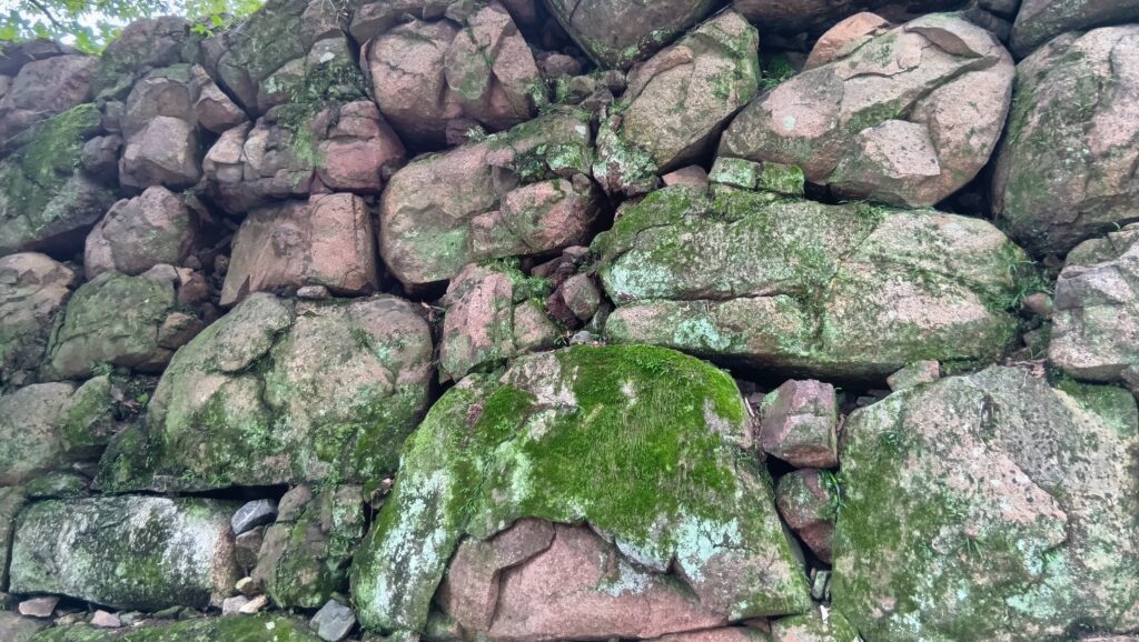
優雅な石垣をもっとよく眺めましょう。高さ7~8メートルくらいで、古期石灰岩の野面積みとのことです。石垣が波打っているところなど、万里の長城を思い起こしてしまいます。中国の技術が導入されているという意見もありますが、はっきりしないそうです。
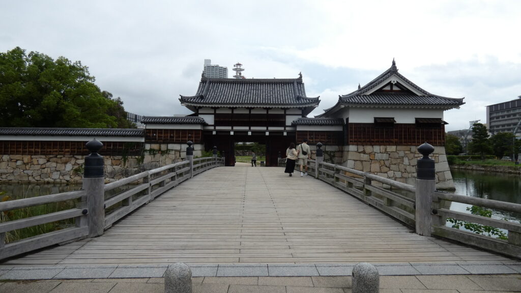
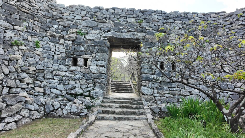
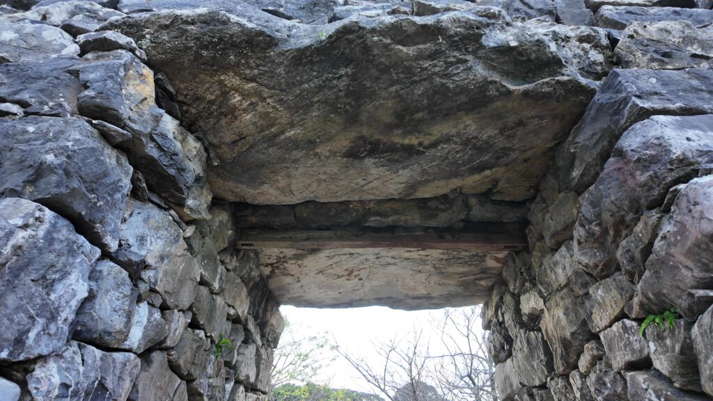
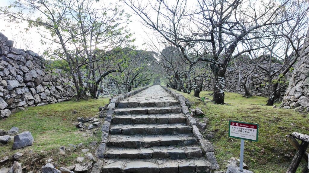
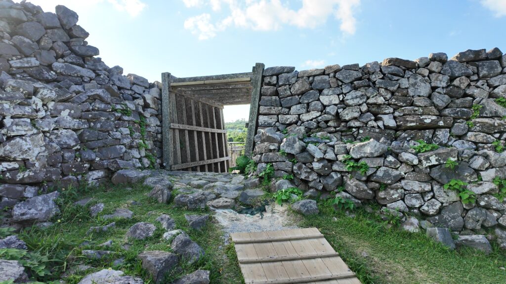
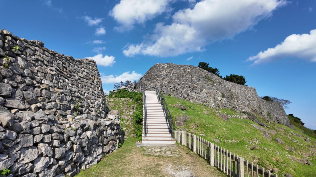
グスクの正門、平郎門から中に入っていくことにしましょう。現在の門は1962年に修復されたものですが、厳重さと威厳を感じてしまいます。天井は一枚岩になっているそうです。古期石灰岩は固いので、築城当時は加工が困難だったという事情もありました。門をくぐった後のまっすぐの通路は戦後に整備されたものです(七五三の階段と呼ばれています)。
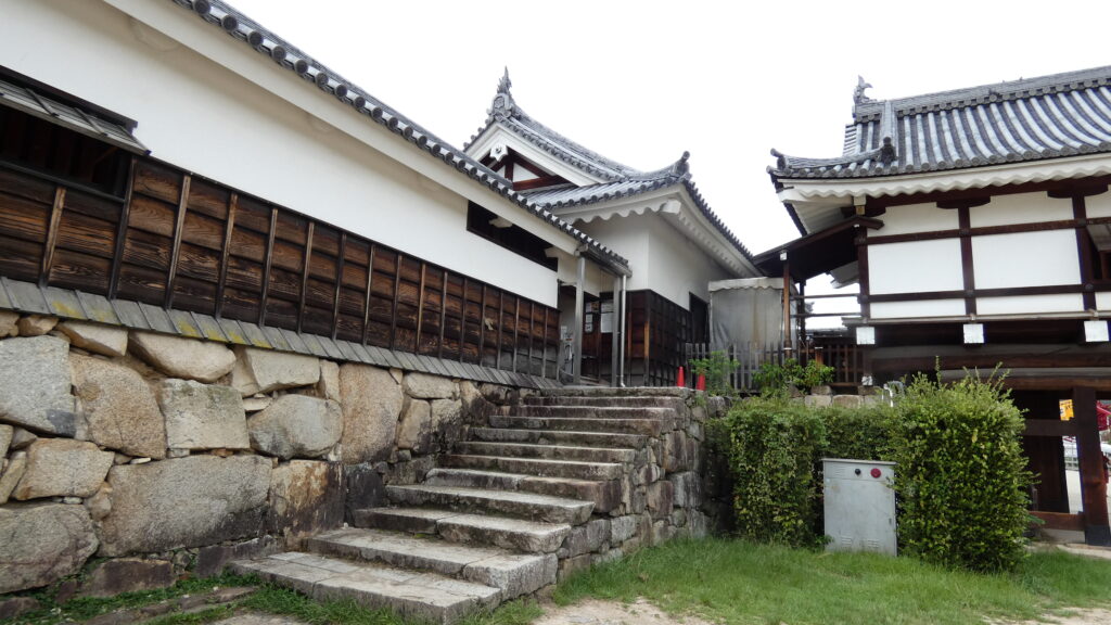
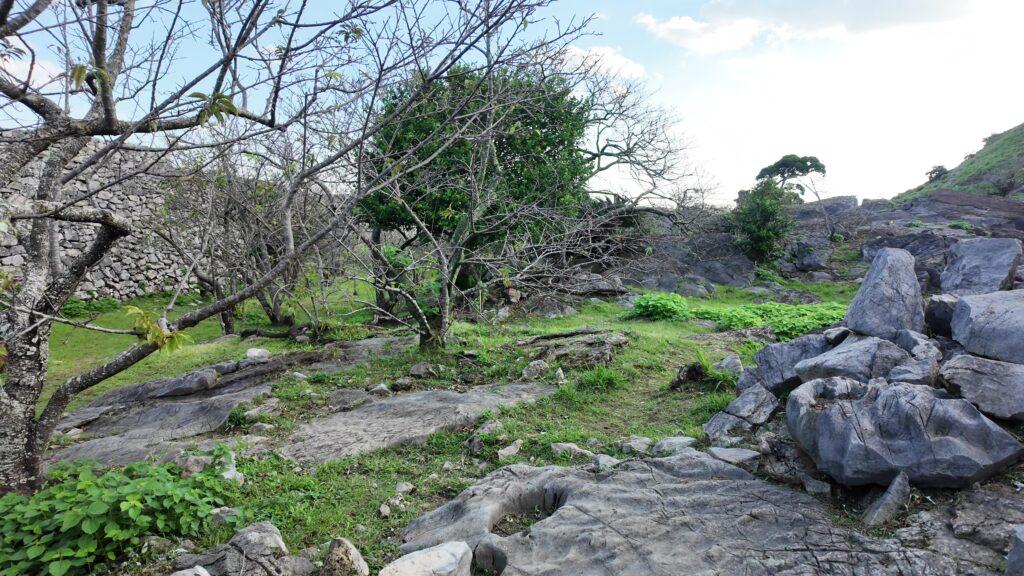
大隅の中に入ってみましょう。現在は植樹されていますが、当時は兵士の調練の場だったと考えられています。馬の骨がたくさん発掘されたそうです。石垣も内側から見ると、感じが違います。守る方ですので、登りやすくしているのでしょうか。中は結構ゴツゴツとした地形でう。ここには洞窟への入口があって、城外に抜け出れるそうです(現在は閉鎖)。
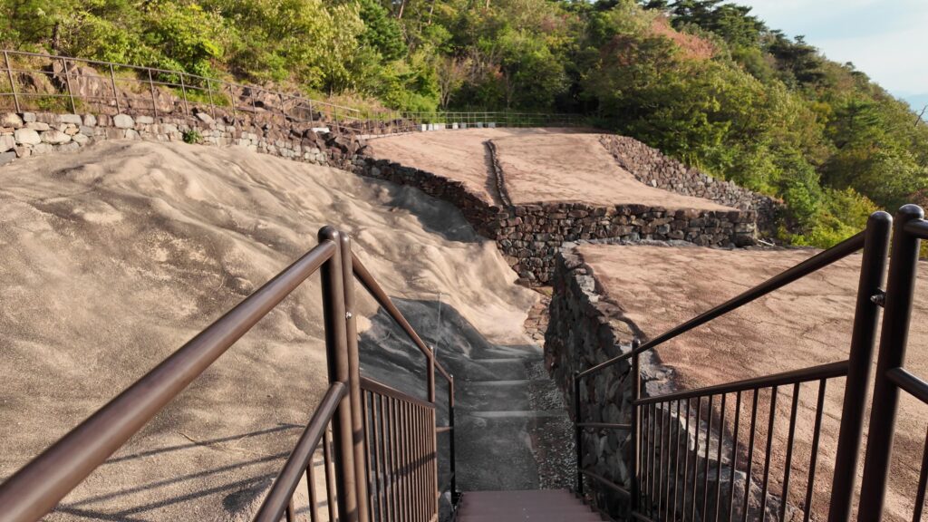
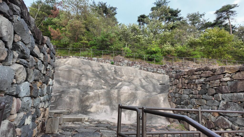
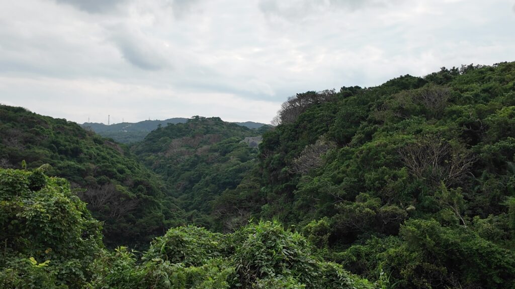
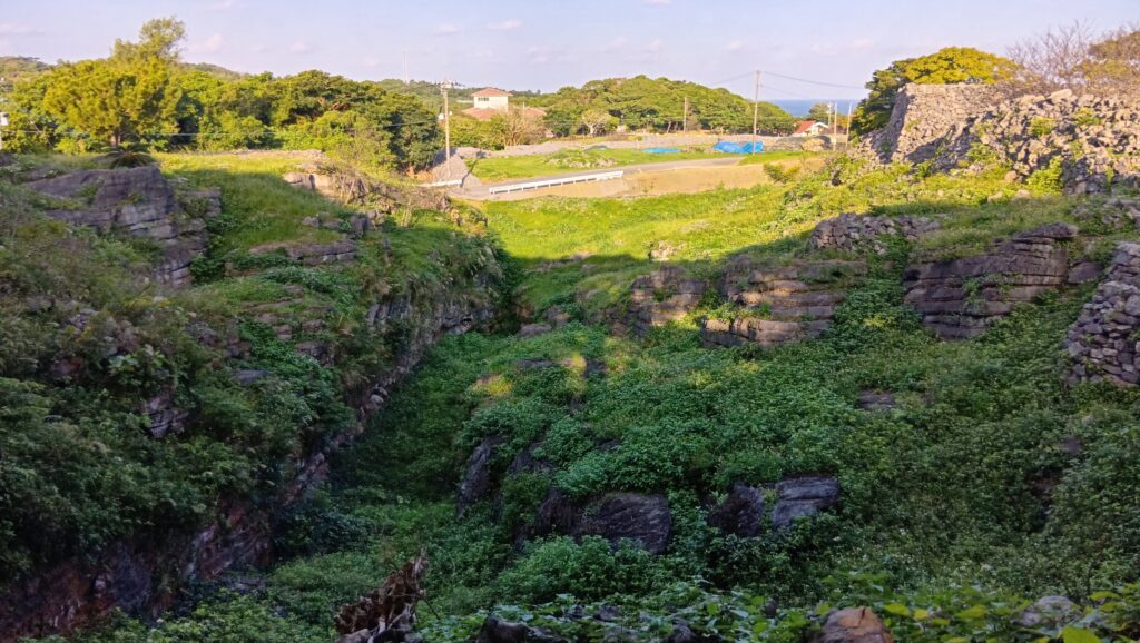
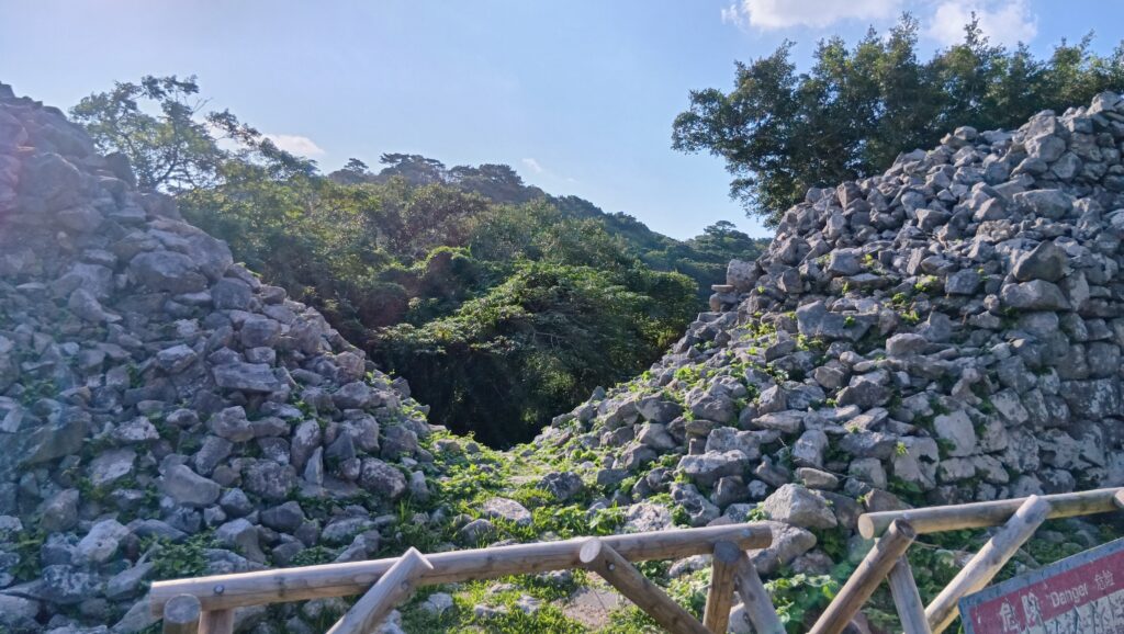
次は、通路に戻りますが、途中からかつての旧道を通ってみます。ちょうど、カーザフを見下ろす場所です。カーザフとは「川の谷間」といった意味だそうです。谷間の崖の岩盤にも石垣が積まれています。
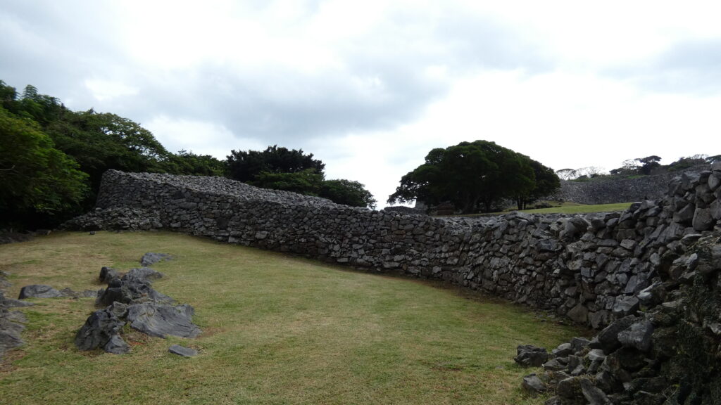
旧道を歩きましょう。発掘によって確認された道で、少し登りにくいですが、防御を重視するグスクらしいとも言えます。さっきハンタ道を歩いたので平気です。そして、城の中心部の一つ、大庭(うーみやー)に到着します。
すばらしい景色
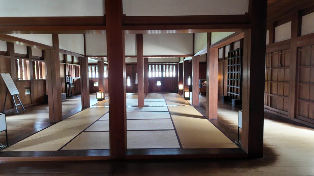
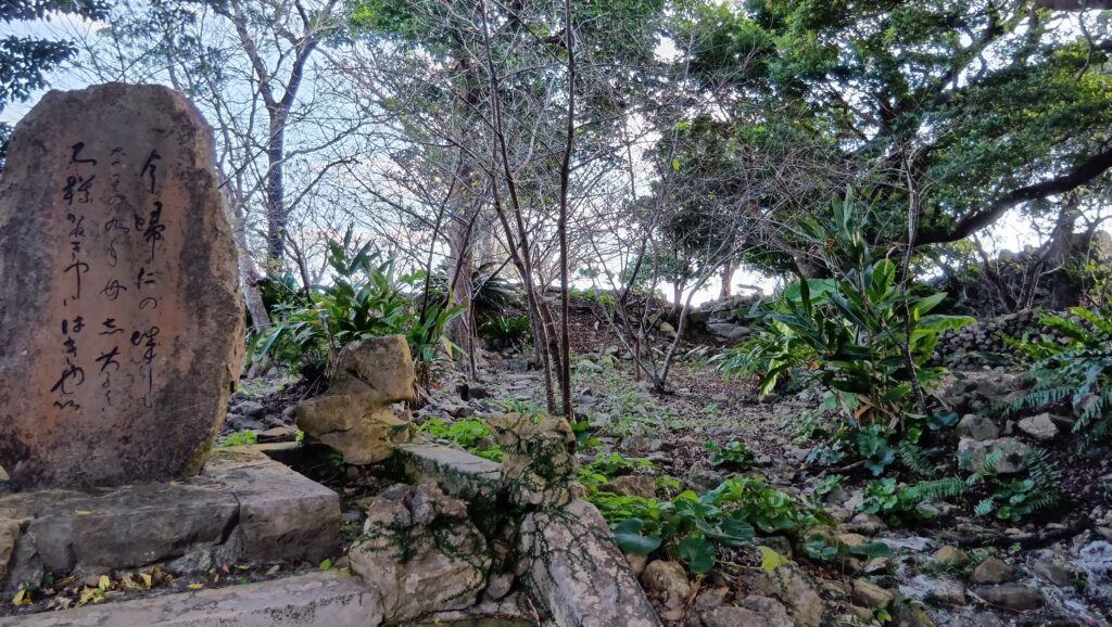
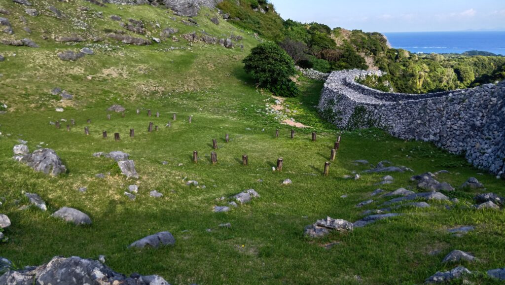
大庭の中は、今は主に歌碑があるだけですが、かつては北殿・南殿があって、首里城でいえば御庭(うなー)のような場所と考えられます。儀式などが行われたのでしょう。
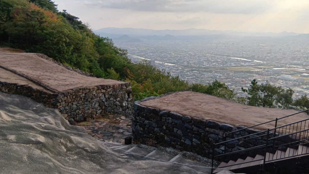
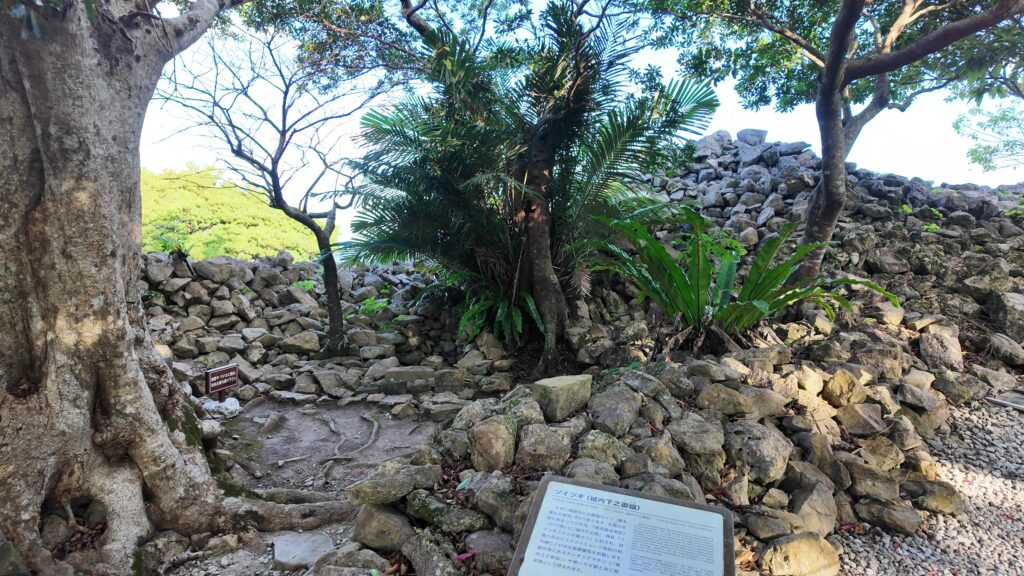
次は景色がいい場所に行きましょう。グスク内で最も標高が高く、御嶽(うたき)がある重要な場所、御内原(うーちばる)です。入口には御嶽の一つ、ソイツギがあります。
御内原は、かつては女官部屋があった場所だったと言われます。大奥のような場所だったのでしょうか。
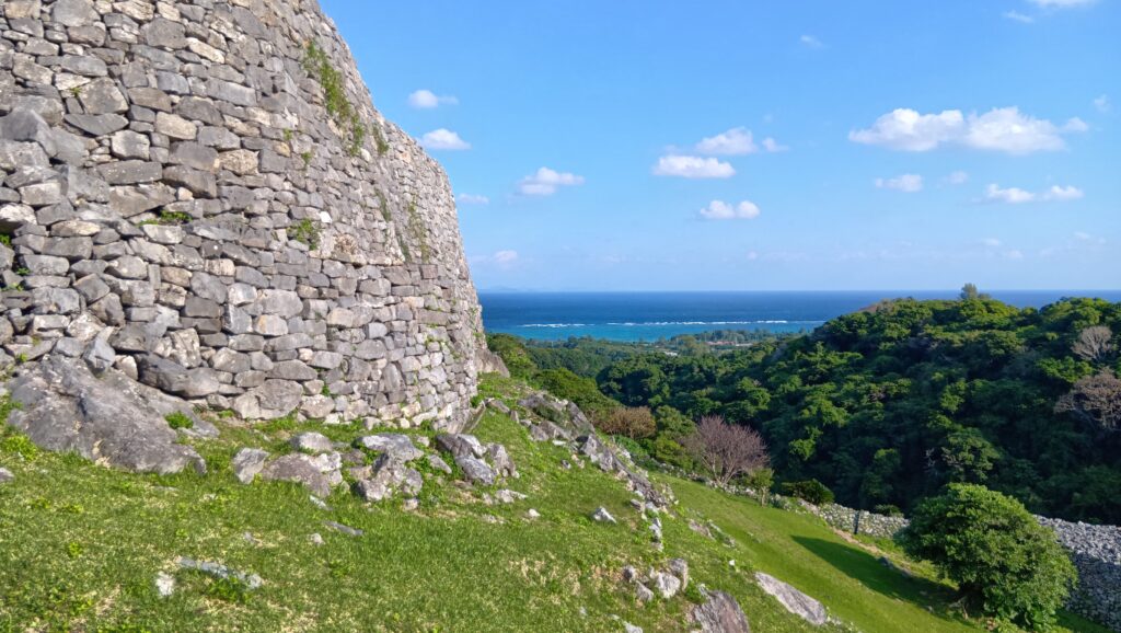
そこからは、すばらしい景色です。大隅の石垣に、青い海に青い空・・・沖縄らしい景色です。
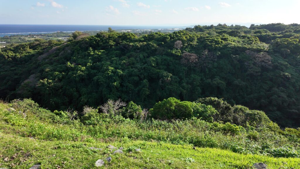
反対側に行ってみましょう。すごく深い谷になっています。谷底を志慶真(しげま)川が流れています。さらに進むと奥の曲輪(志慶真門郭、しじまじょうかく)も見えます。
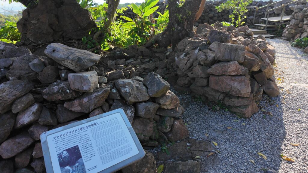
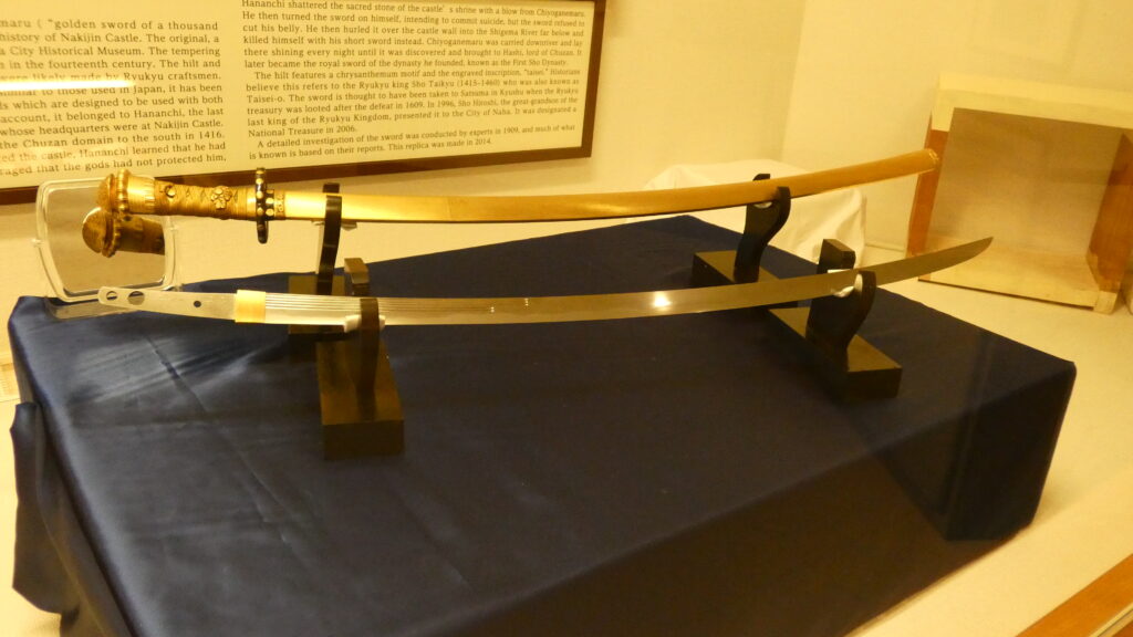
これから主郭に向かいますが、途中にまた重要な御嶽があります。グスク内で最も神聖な聖地、テンチジアマチジです。実は、ここは尚巴志軍との戦いのときに、北山王・攀安知(はんあんち)が切り刻んだ霊石があったところと言われているのです。それから宝剣を向こうの川に投げ込んだという訳です。
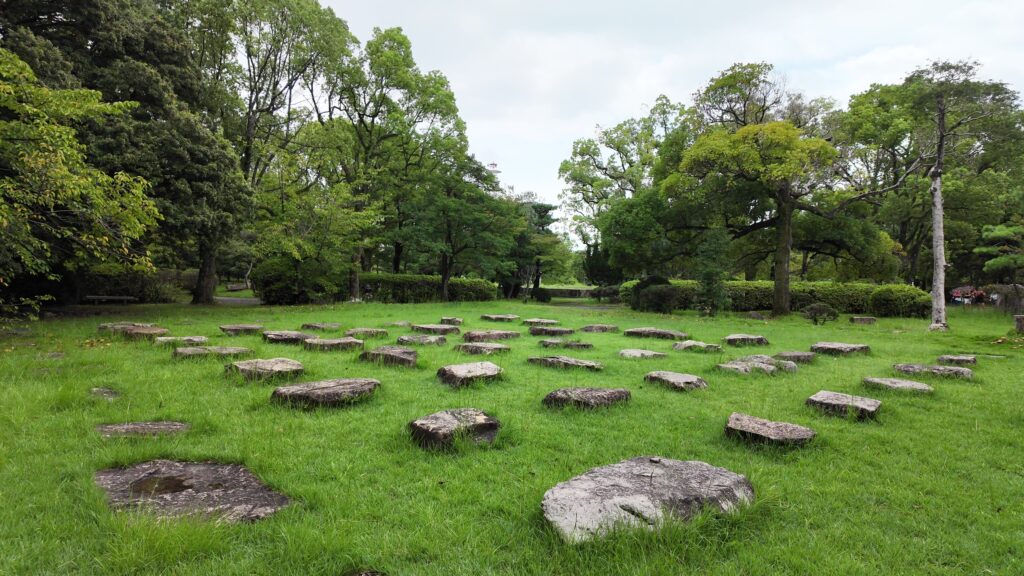
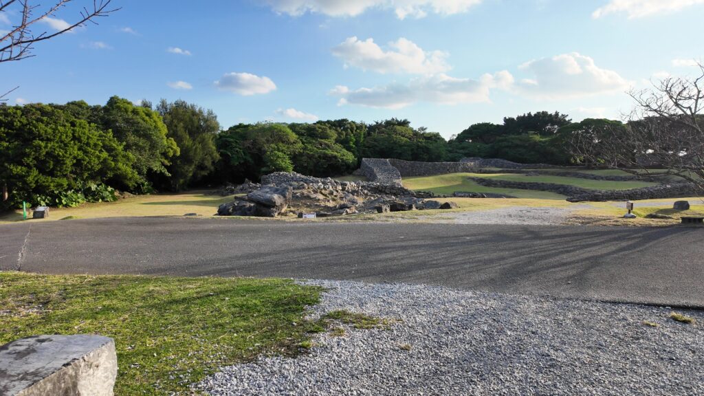
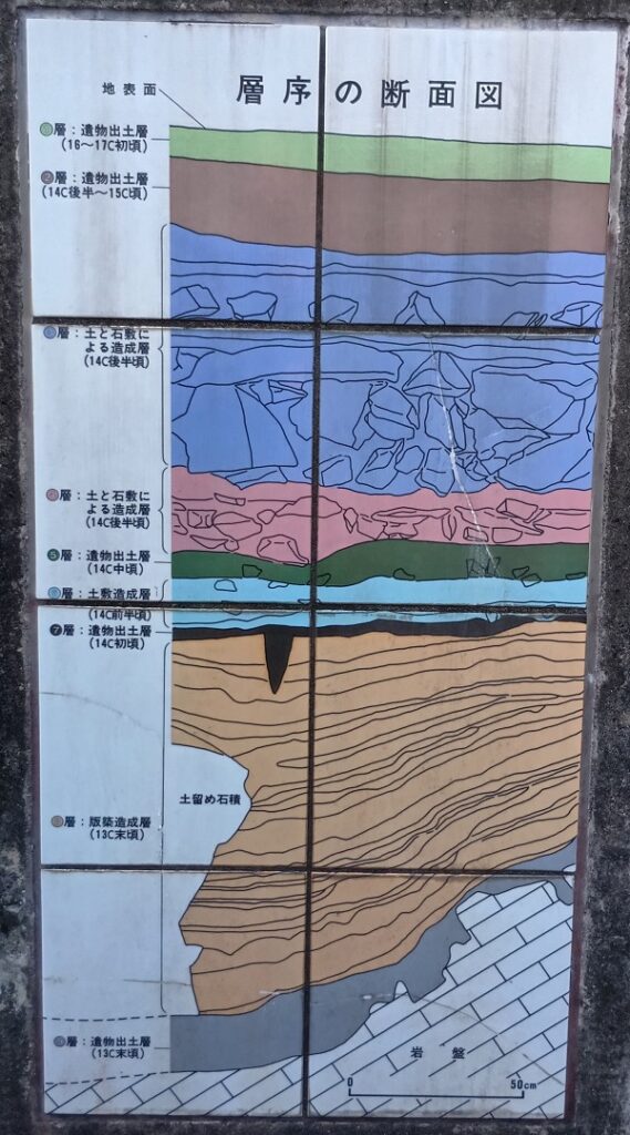
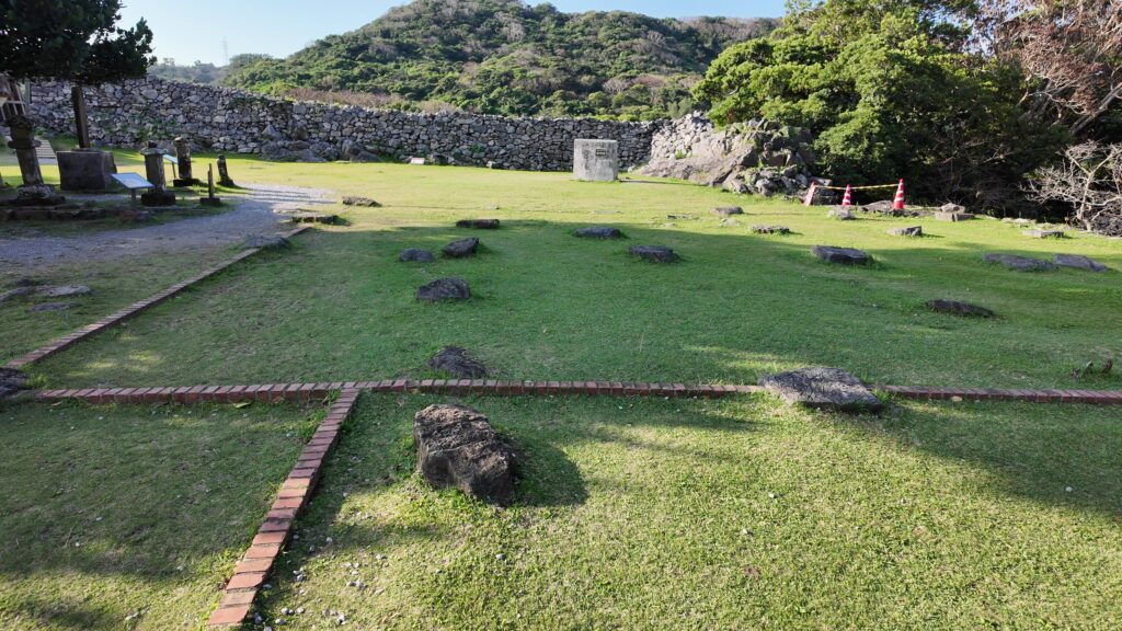
いよいよ、主郭です。発掘調査により、時代区分ごとの遺構が見つかっています。
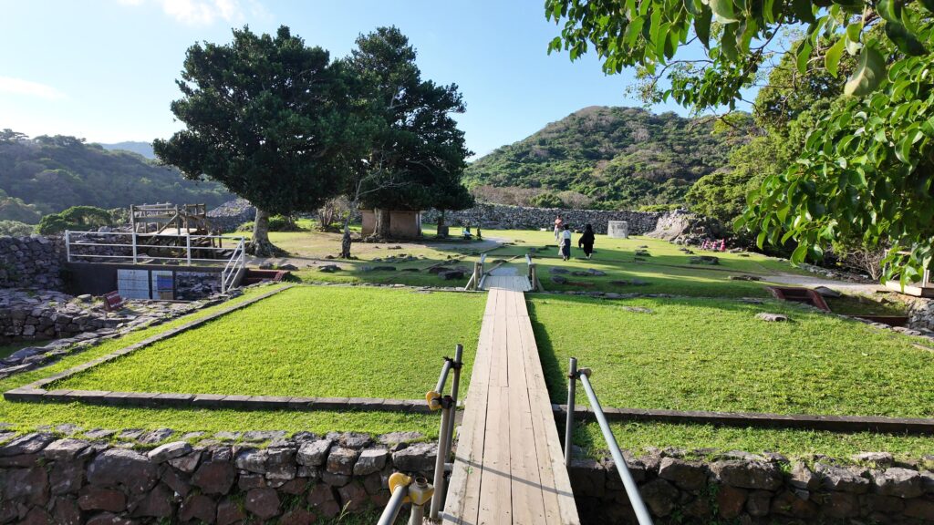
まず、初期の時代に版築や石積みにより土台を固めた跡(第1期)があります。
そして北山王国が発展したときの正殿跡です(第2期)。発掘で基壇が発見されましたが、柱を支える礎石は失われていました。それでもひとかたならぬ建物があったと感じます。
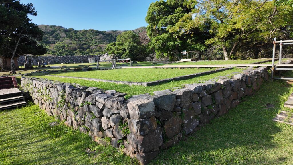
北山監守時代の遺構がその先にあります(第4期)。北山王国全盛期の正殿跡(第3期)は、その下に埋もれているようです。正殿の後に建てるくらいですから、監守が住んでいたのでしょう。
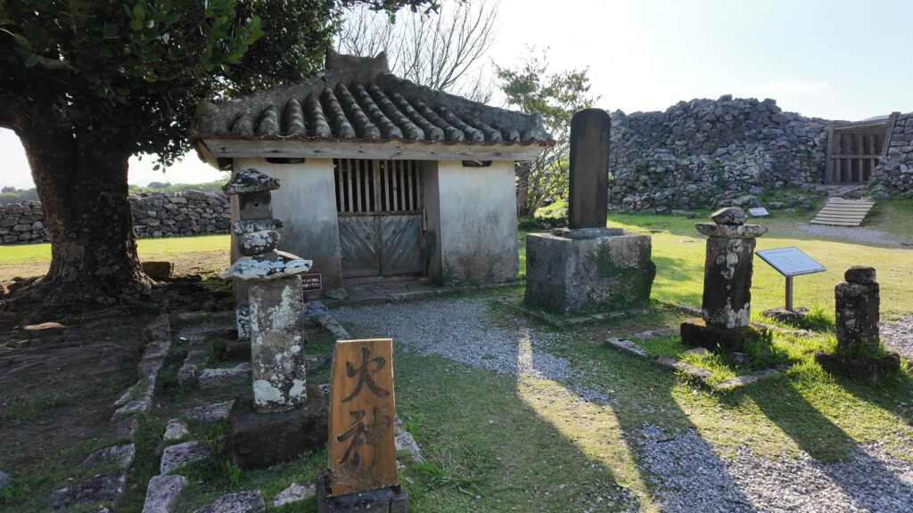
現在あるのは、グスクが廃城になったあとに建てられた火神(ひのかん)の祠です。現在の祠は20世紀の建築で、発掘調査時に元の位置(中心部)から現在地に移されました
グスクの裏手も圧巻
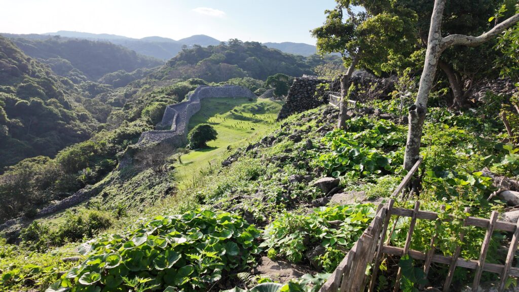
一番奥の曲輪、志慶真門郭(しじまじょうかく)に向かいます。主郭の奥の門から出て、階段を下っていきます。ずいぶんと高低差があります。下っていくときの景色も見ものです。今度は草木の緑も加わったすばらしい眺めです。
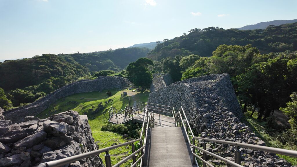
建物の跡が見えます。発掘調査により、4つの掘立柱建物の跡が見つかり、家臣の住居だったと考えられています。石垣もよく残っています。その上を兵士が行き来していた感じがわかります。この曲輪は、グスクの全盛期に築かれたと考えられています。グスクの裏手を守る重要な曲輪だったのです。主郭の石垣がそびえ立っているのもグッドポイントです。
振り返ると、グスクの裏門・志慶真門(しじまじょう)跡があります。この門は南側を向いていますので、定説の方ではありませんが、尚巴志軍が放火するためにグスクの南西側から忍び寄った場所かもしれません(定説では本部平原が裏切って敵をここから引き入れたとか)。
それでは主郭の方に戻りましょう。今度は迫りくる主郭の石垣が目立ちます。行き帰りで違った見方で景色を楽しむことができます。
お時間があれば、外郭の石垣もご覧になってはいかがでしょう。南側はカーザフの向かい側から始まっています。石が新しいので、復元されたものでしょうか。
こちらは、北側です。古そうな感じです。ここまで歩いていただければ、総延長1.5kmと言われる石垣の長さを感じられると思います。
リンク、参考情報
・世界遺産 今帰仁城跡(公式サイト)
・今帰仁グスクをガイドと歩く
・「世界遺産今帰仁城跡・今帰仁村文化財ガイドブックvol.1」沖縄県今帰仁村教育委員会
・「沖縄の名城を歩く/上里隆史・山本正昭編」
・「琉球王国の形成/和田久德著」 榕樹書林
・「訳注 中山世鑑/首里王府編著 諸見友重訳注」 榕樹書林
・「訳注 蔡鐸本中山世譜/首里王府編著 原田兎雄訳注」 榕樹書林
・「広報 なきじん」
・「島津氏の琉球侵略-もう一つの慶長の役-/上原兼善著」榕樹書林
・「沖縄県立博物館所蔵「琉球國圖」/深瀬公一郎。渡辺 美季著」琉球大学学術リポジトリ
・世界遺産『今帰仁城跡』取材:東アジア共同体研究所 琉球・沖縄センター(Yutubeビデオ)
これで終わります、ありがとうございました。