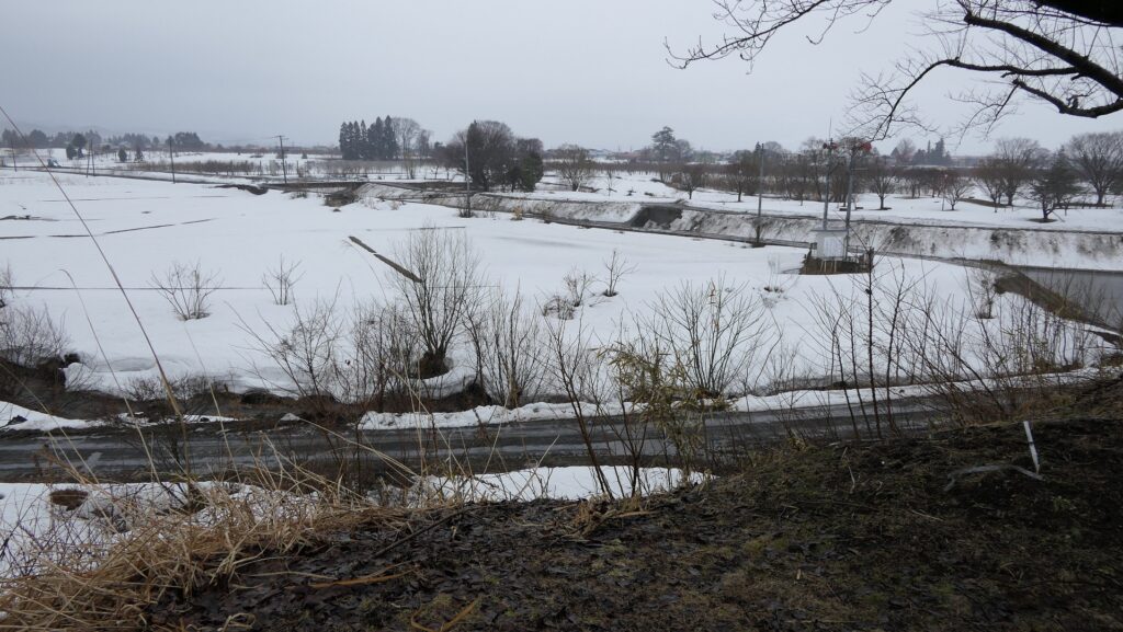
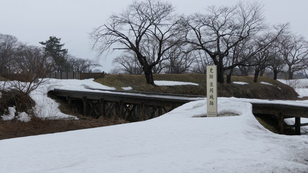
Now, the ruins of Namioka Castle has been developed as a historical park. Although you can’t see any buildings, the eight enclosure still remained. The park is very large and now sandwiched by the Prefectural Road 27 in the north and Namioka River in the south. If you stand alongside the river, you can also see that these enclosures are higher than the river. You can imagine how prosperous they were when their buildings were still there.
The aerial photo around the castle
Namioka RiverLooking up the Inner EnclosureOverlooking around Namioka River from the Inner Enclosure
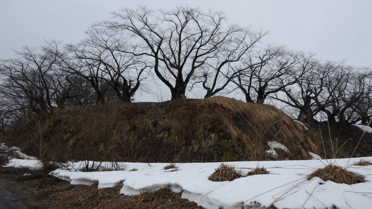
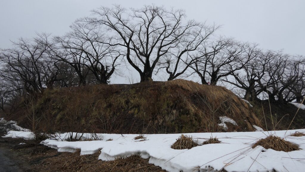
Inner Enclosure which was center of castle
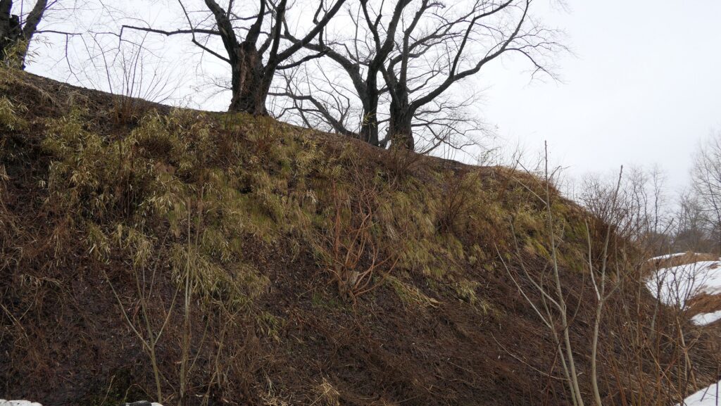
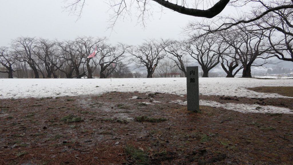
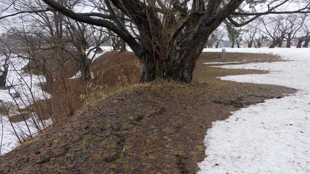
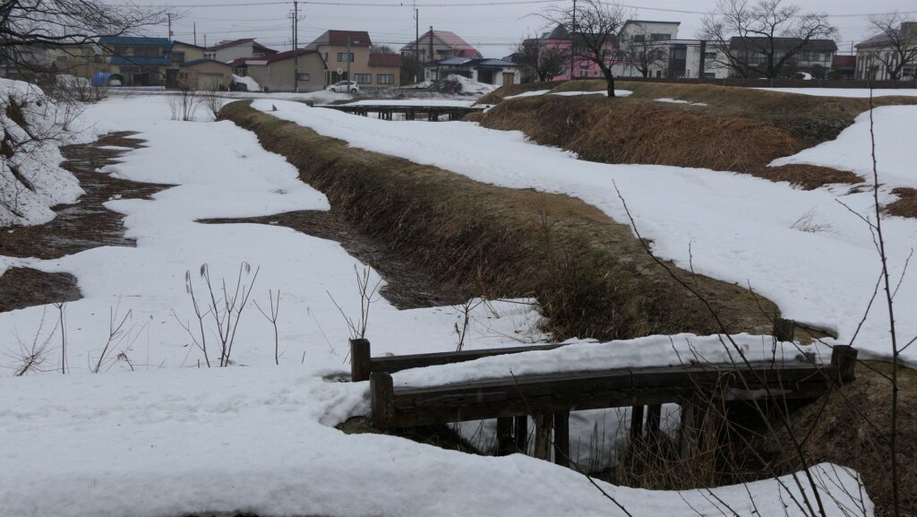
So far, two of the enclosures, the Inner Enclosure and the North Enclosure, were mainly excavated. The Inner Enclosure is at the center of the ruins and beside the river. The Inner Enclosure looks like the highest point in the castle ruins. It was found that it had the Main Hall for the lord of the castle. The inside of the enclosure is empty now, but a lot of cherry trees are planted at the outer edge. You can see the doubled dry moats partly with the restored wooden bridges. The moats were originally filled with water.
The Inner EnclosureThe entrance of the Inner EnclosureThe inside of the Inner EnclosureThe cherry trees which are planted at the outer edgeThe doubled moat which is divided by the middle earthen walls
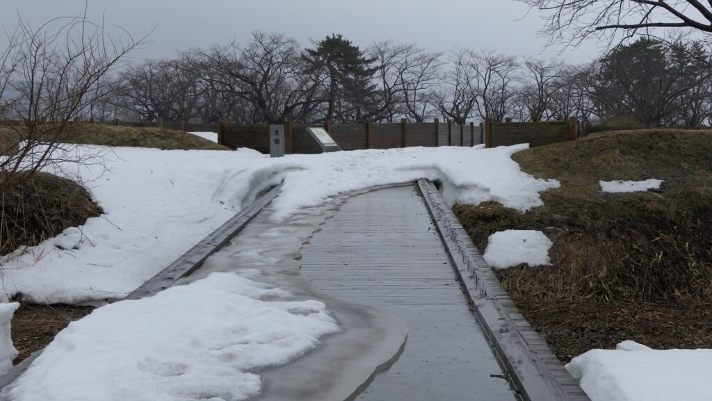
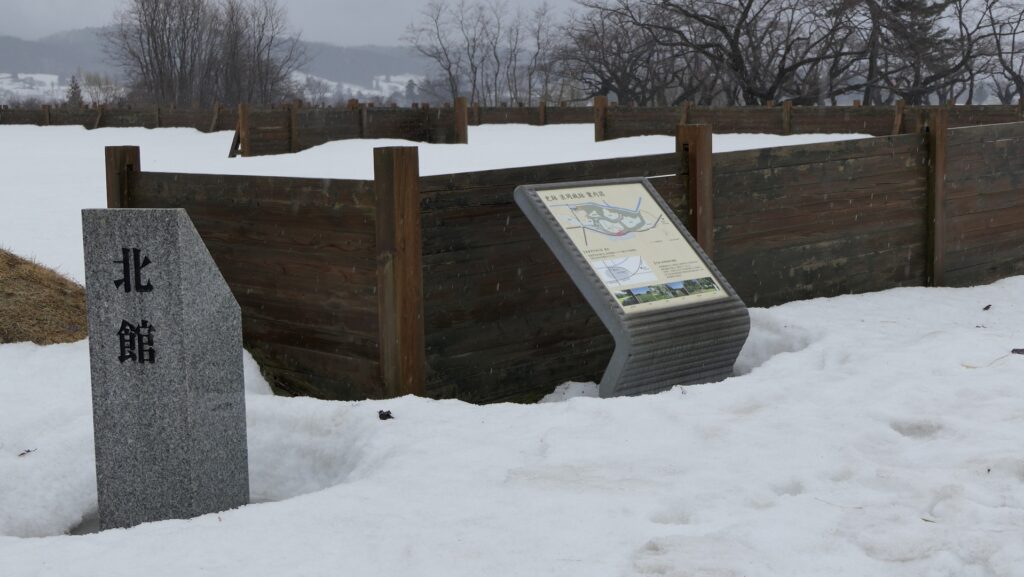
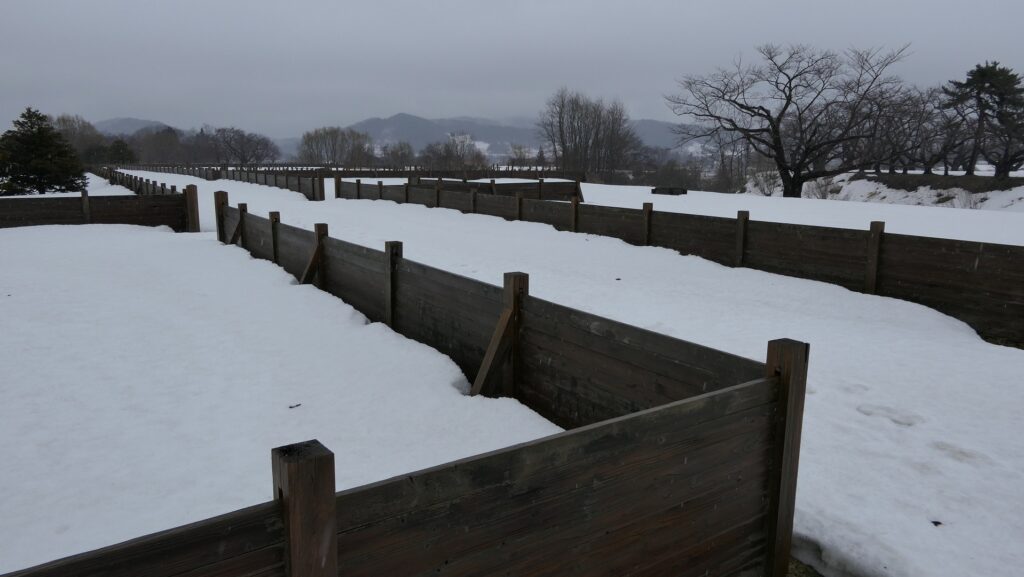
North Enclosure had residential lots for warriors
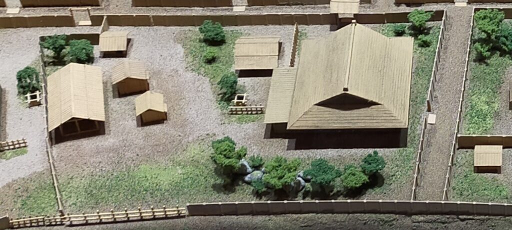
The North Enclosure is the largest enclosure and was found that it had been divided into several residential lots for the warriors. Each lot had the houses for the warriors, the workshop for the craftsmen, the well, the stable and so on. Through the excavation, they discovered that the enclosure had a defensive gate and had a zigzag road. You can now see the wooden fences that show how the residential lots were divided.
The North EnclosureThe entrance of the North EnclosureThe inside of the North EnclosureThe wooden fences which divide the residential lotsThe miniature model of a typical residential lot, exhibited by the House in the Aomori-shi Middle Ages
After Hachioji Castle fell, the castle was abandoned. The ruins have been very well preserved as the Tokugawa Shogunate directly owned the land and did not allow people to access the area. The Japanese Government also considered the area as a national forest and did not allow for the removal of trees. The ruins were designated as a National Historic Site in 1951. Since then, Hachioji City has been investigating and developing them as a historical park.
The Matsuki EnclosureA view from the mountain
My Impression
Hachioji City is a large city with a population of nearly 600,000. The city first started as the castle town for Hachioji Castle. I knew this fact, but I hadn’t visited the castle ruins until recently. Before that, I thought the ruins may not have been interesting because the castle fell in just one day. Since my visit, I now feel the castle could have escaped capture if it had enough commanders and soldiers.
The restored Main RouteThe stone walls around the entrance of the Main Hall ruins
How to get There
If you want to visit there using public transportation: Take the Nishi-Tokyo bus from the bus stop No.1 at the north entrance of JR Takao Station, and get off at the Reien-Mae, Hachioji-joato-Iriguchi bus stop. If you want to visit there by car: It is about 10 minutes away from Hachioji-Nishi IC on Metropolitan Inter-City Expressway. The guidance facility offers a parking lot.
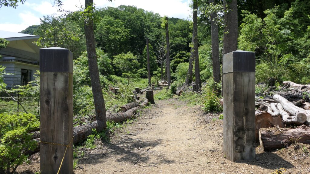
Now, part of Hachioji Castle ruins is designated as a National Historic Site. That part of the ruins is 1.54 million square meters big! It may take a whole day to see enough of the ruins. The entrance of the ruins is the Nekoya Area which has become a modern residential district. You can walk on the road along the Shiroyama River. Then, you will reach the guidance facility which is the starting point for the two other parts.
The map around the castle
The Residence on the Foot Area
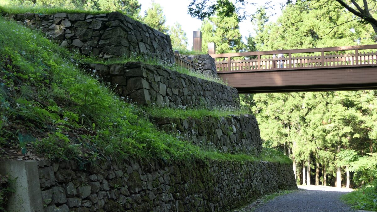
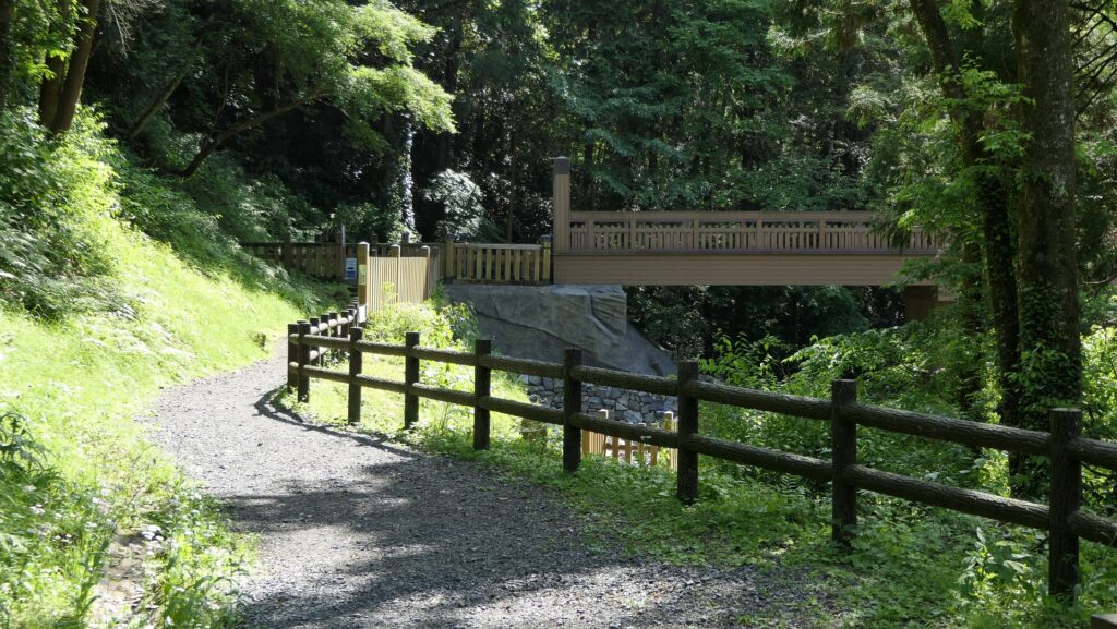
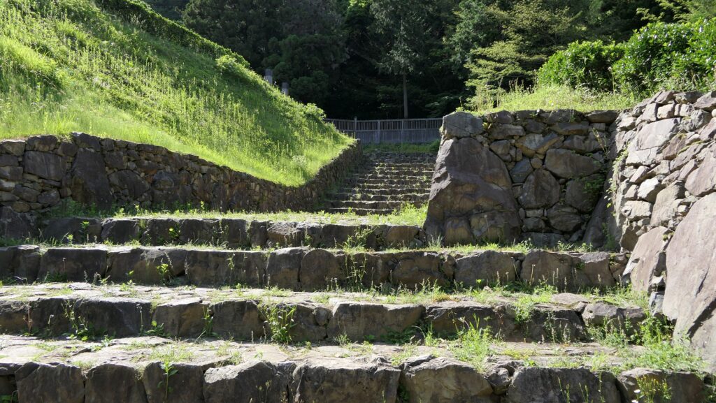
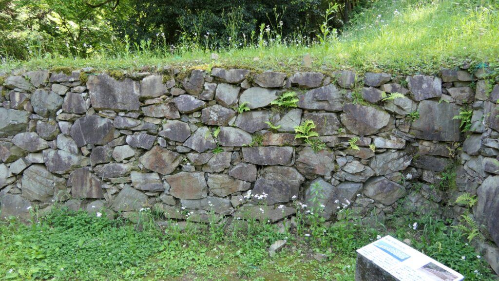
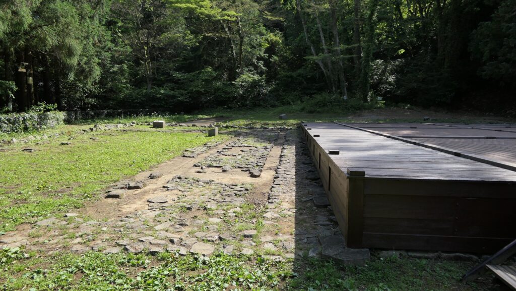
The Residence on the Foot Area was recently investigated and developed as a historical park. You can walk on the restored Main Route, and it is easy to access the ruins of the Main Hall. The original route was guarded by several gates such as the Main Gate in the past. You will eventually reach the restored Movable Bridge. This bridge is used by tourists. It looks very nice and is permanent. The original one seemed simpler and movable. The stone walls around the Main Hall were also restored and look great. In fact, part of them is still original.
The entrance of the Residence on the Foot AreaThe restored Main RouteThe ruins of the Main GateThe restored Movable BridgeThe stone walls around the Main HallThe original part out of the stone walls above (from the signboard at the site)
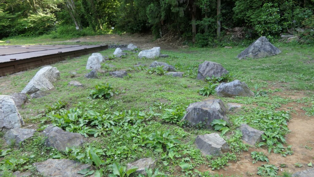
The inside of the hall ruins looks spacious and empty, but a lot of achievement from the excavation is shown. For example, the stone foundation of the Palace remains on the ground. Some of the stones for the garden were reproduced, and the floor part of the Club was rebuilt. The signboards also say what kinds of items, about 70,000, were found during the excavation.
The entrance of the Main Hall ruinsThe inside of the Main Hall ruinsThe stone foundation of the PalaceThe stones for the gardenThe ruins of the ClubThe signboard which shows the excavated items
The Fortress on the Mountain Area
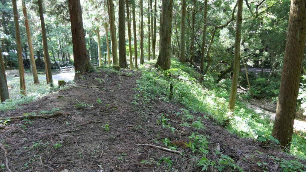
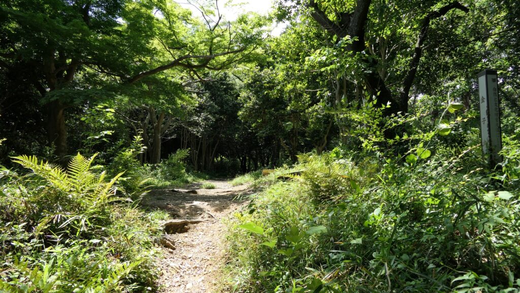
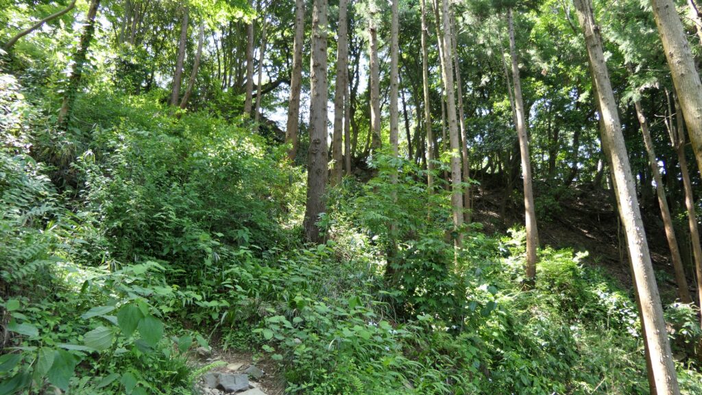
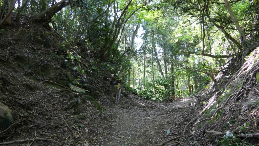
If you have time, you should visit the Fortress on the Mountain Area which was really a mountain castle. The front trail to the top of the mountain was also developed, but your visit will involve hiking or climbing, so make sure that you wear athletic shoes and watch your steps. The trail is along the ridge of the mountain passing several enclosures such as the Kaneko Enclosure, which were the need for defense. You can see part of the remaining stone walls at many places.
The entrance of the Fortress on the Mountain AreaThe remaining stone walls beside the trailThe Kaneko EnclosureThe steep slope to the top
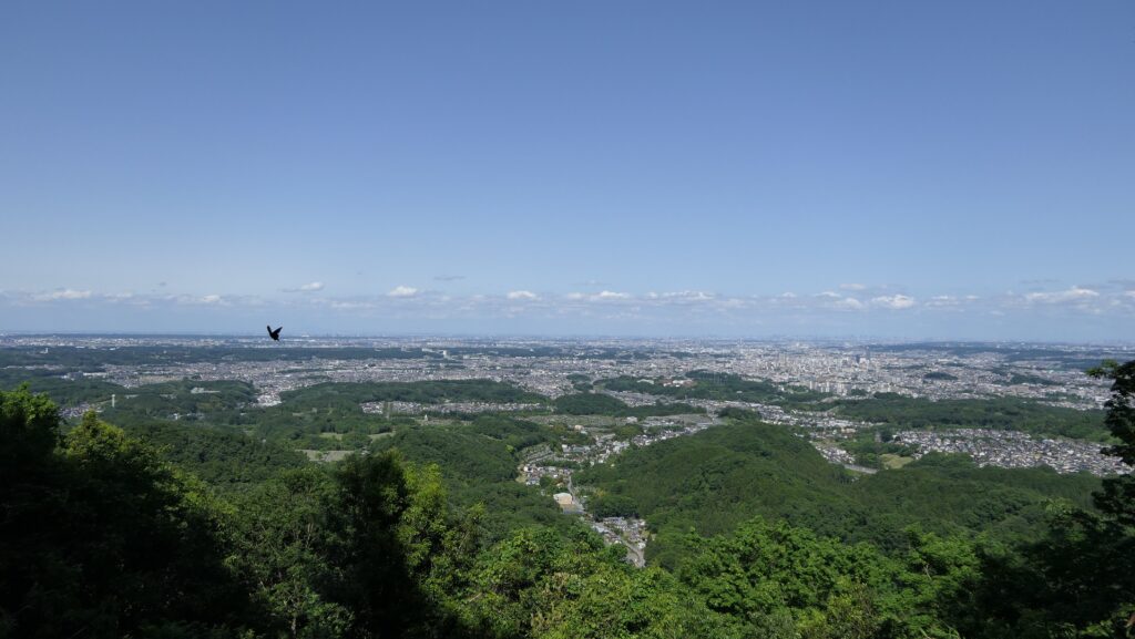
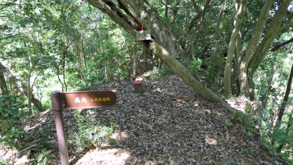
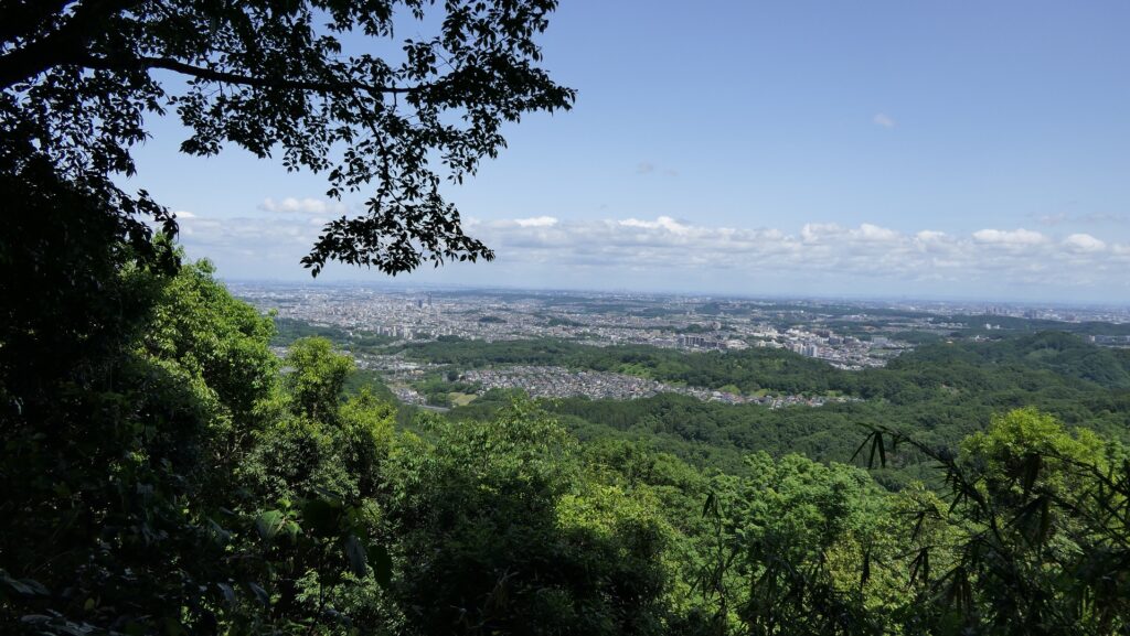
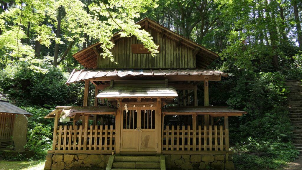
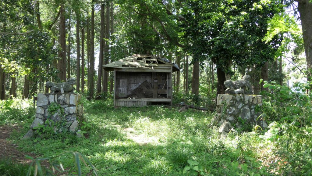
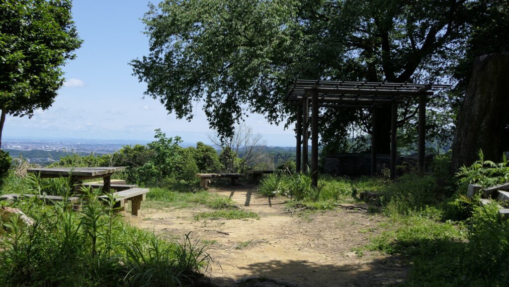
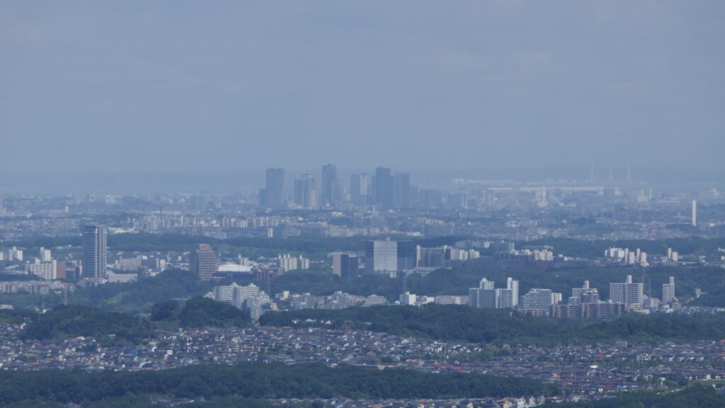
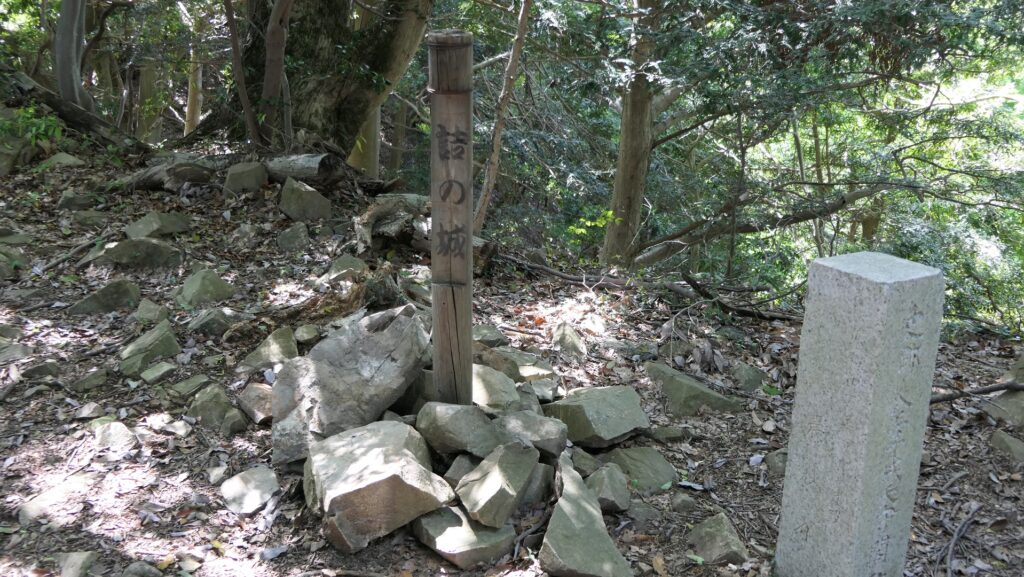
After climbing a steep slope, you will reach a high point called the Takamaru Enclosure near the top. On the way to the top from there, you will see a very nice view of the sides of the mountain. Soon, you will reach the top area, which include the Hachioji Shrine, the Main Enclosure, the Komiya Enclosure, and the Matsuki Enclosure. I recommend enjoying a view of Tokyo city from the Matsuki Enclosure. You can even see the skyscrapers of Shinjuku.
The Takamaru EnclosureThe city view with the sides of the mountainThe Hachioji ShrineThe Main EnclosureThe Komiya EnclosureThe Matsuki EnclosureThe skyscrapers of Shinjuku
Outer Citadel
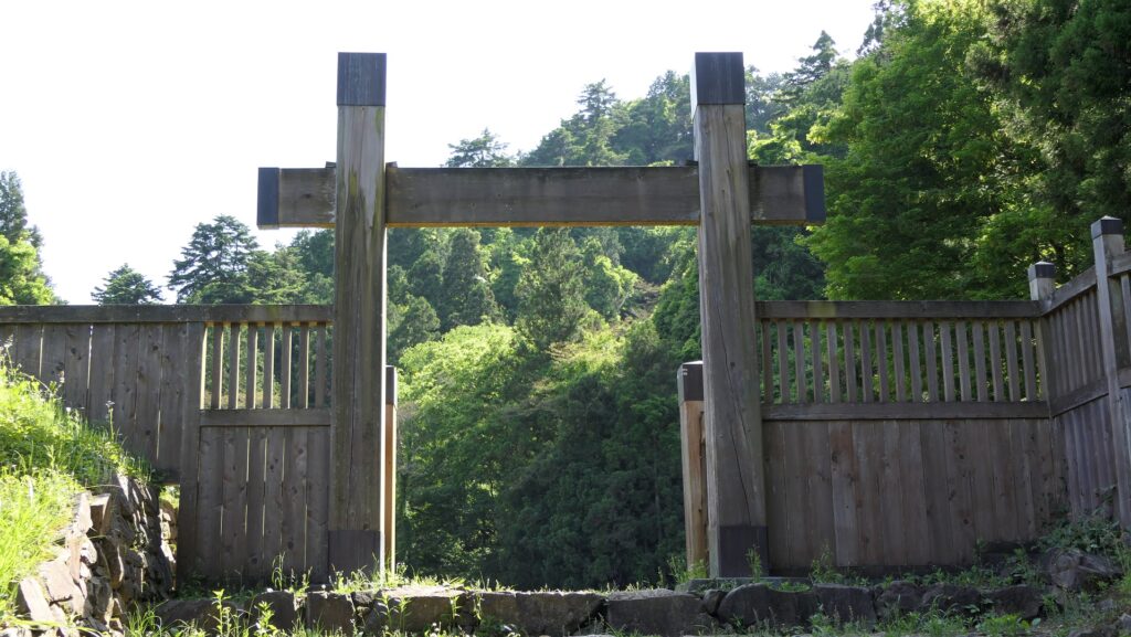
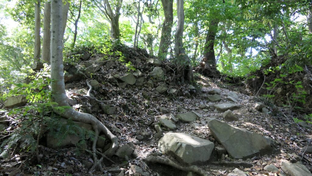
If you have more time, how about visiting the back area of the top where the ruins of the small forts remain? You can visit there by going through the trail on the ridge of the back. Please take care, as the trail gets rough. You will first see the large deep dry moat between the top and the back areas, which was also for defense. After that, you can go further on the trail where you will see many scattered stones. That is a curious sight because of these covered the ridge in the past. You will eventually reach the main fort called Daitenshu where uncountable stones are also scattered. This was the pivot of the defense for the back of the castle.
The large dry moatThe scattered stones on the ridgeThe ruins of the main fortThe stones which once covered the fort