196.Sadowara Castle Part2

Visiting the castle ruins might be lucky to you.

Features

Limited Opening Days and Routes to Top

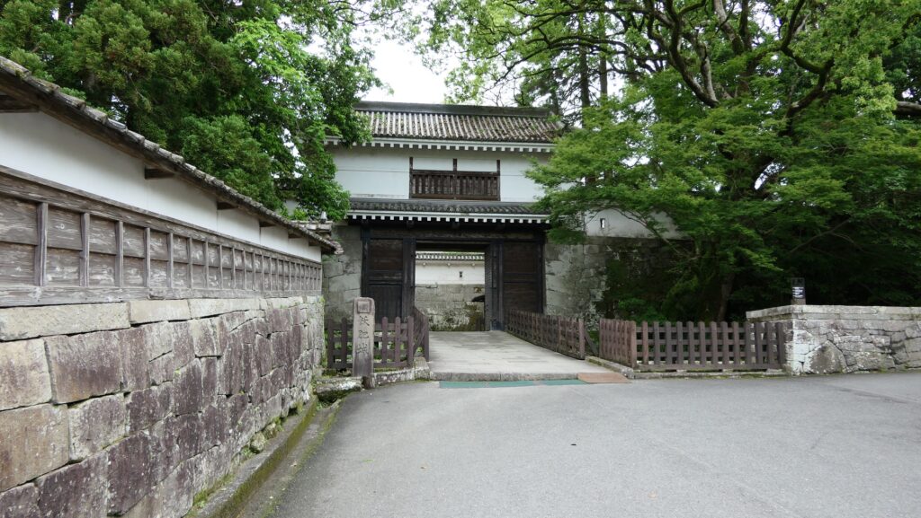
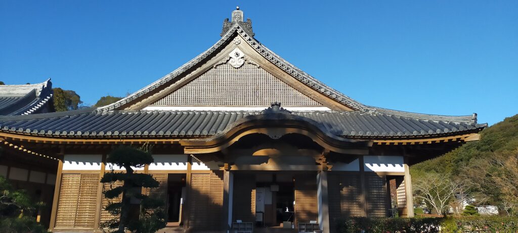
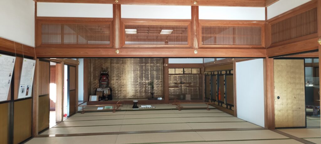
Today, the ruins of Sadowara Castle consist of two parts, the restored Main Hall in the Second Enclosure at the foot and the remaining foundations on the mountain including the Main Enclosure. The Main Hall is used as a museum called Kakushokan or the Crane and Pine Hall, where you can learn about the history of the castle and see restored or excavated items. However, as of May 2023, please make sure it is basically open only on weekends and public holidays probably for its operational purposes.
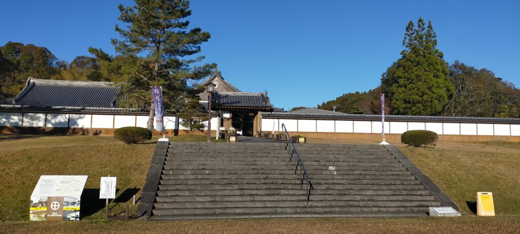
Kakushokan, the restored Main Hall at the foot
The interior of the hall

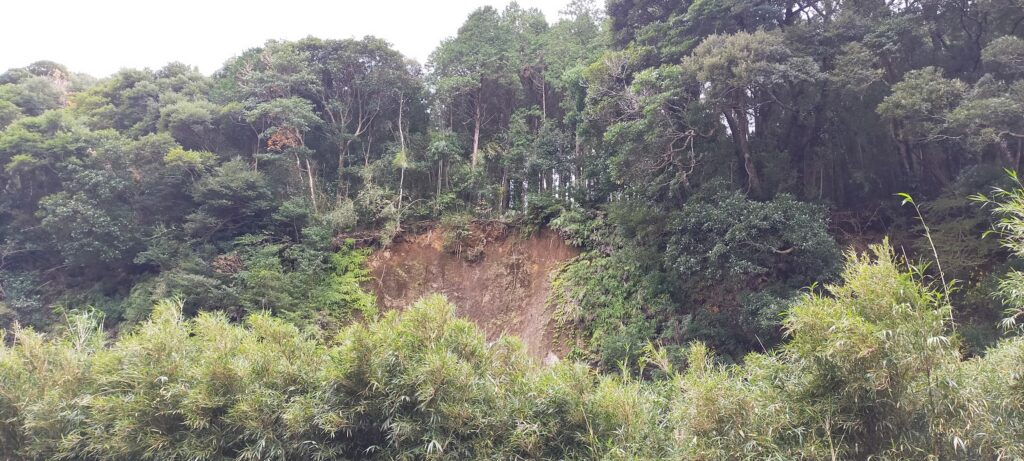
In addition, the routes to the mountain part is not always open as well because of occasional damages caused by natural disasters. For example, there are two routes to the top, however, only one route is available as of May 2023. This is because the harsh weather from Typhoon No.14 in 2022 caused landslides to the mountain that made all the routes impossible to be used. Officials have been restoring the routes and just opened one of them back in January 2023. Such a situation has often been happening to the mountain, so the officials even now struggle to maintain the mountain part. That may also have been the reason why the Sadowara Domain closed the part when they built the Main Hall at the foot.

The relief map around the castle

Going on Middle Route to Top

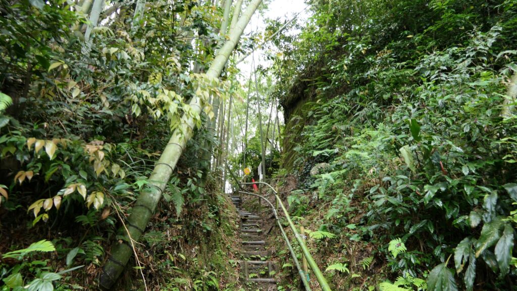
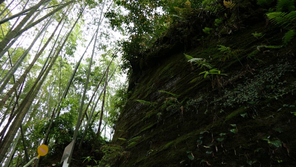
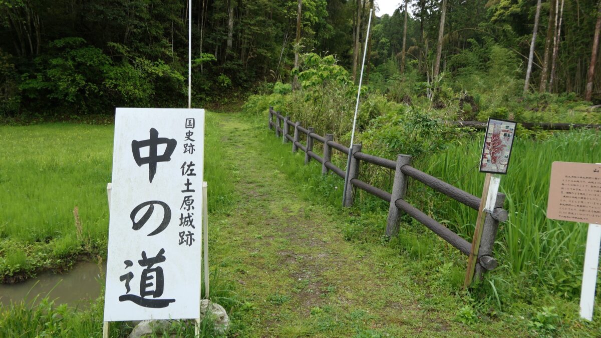
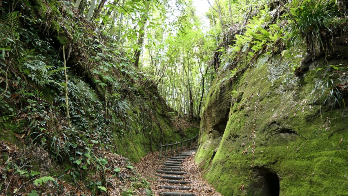
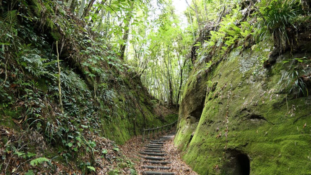
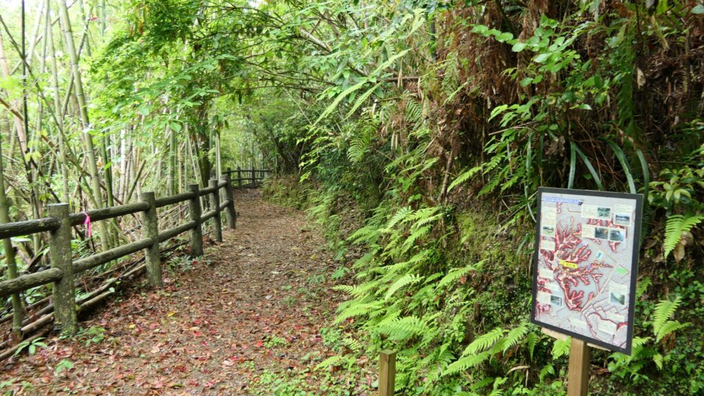
The only open route to the top is called Nakanomichi or the Middle Route, which was considered the back route. The top is only 40m above from the foot, not far from it, however, it is not easy to access, which meant it had a very defensive design in the past. The Middle Route goes on a valley between ridges of the mountain. It is very steep and is unstable on the feet, so if it rains a lot, it could be dangerous. The ridges have enclosures and their sides are cut vertically by processing the soil of the Shirasu plateau. If you were an enemy, you would have been attacked from above of both sides.

The map around the castle
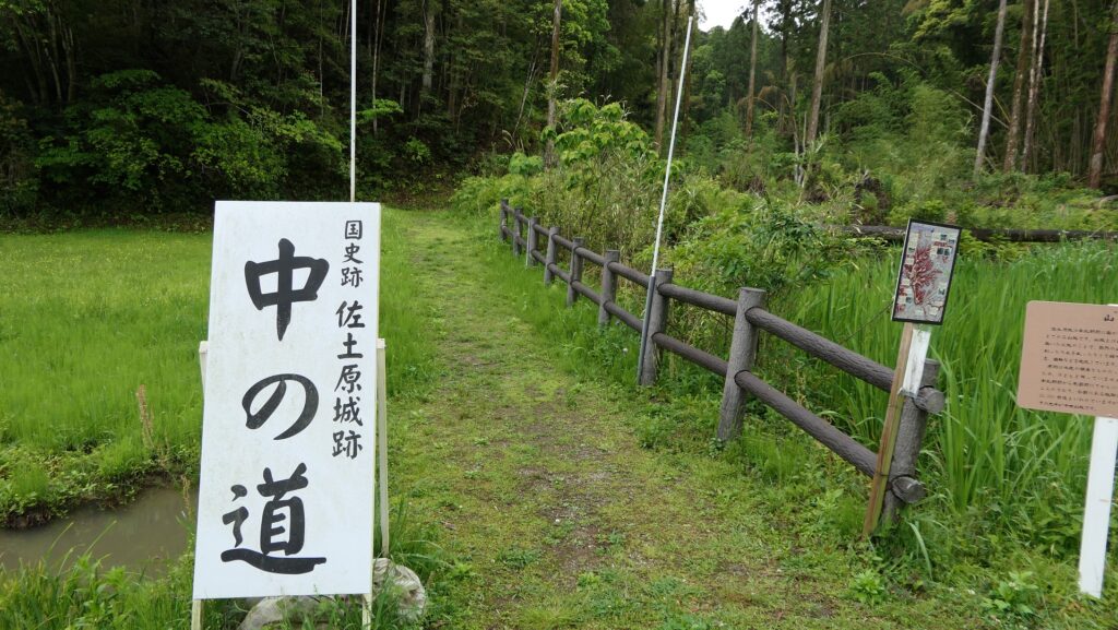
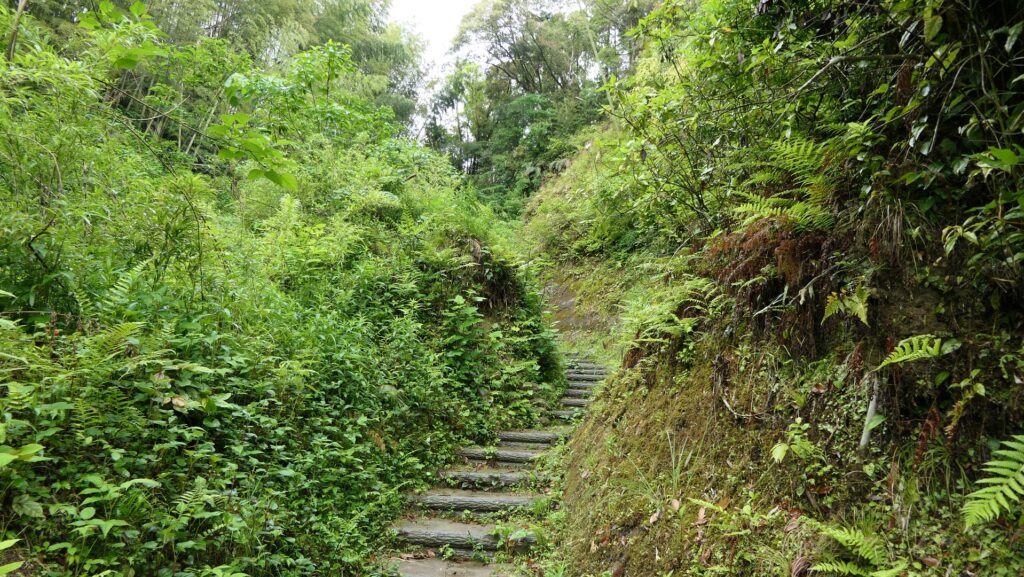
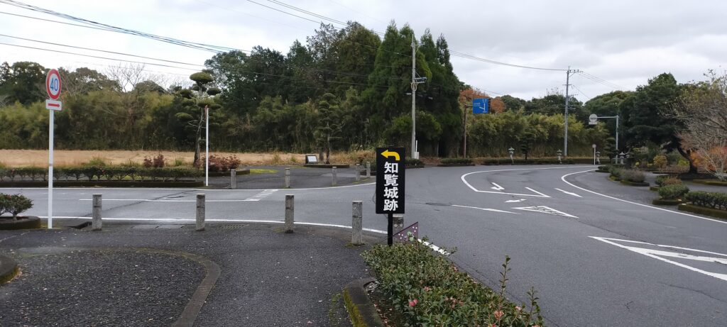
The entrance of the Middle Route
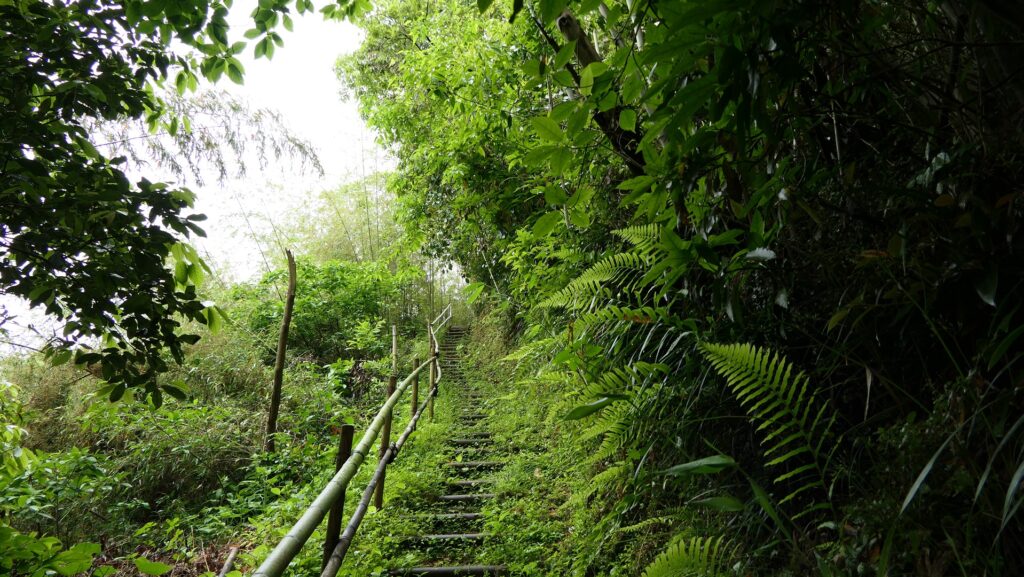
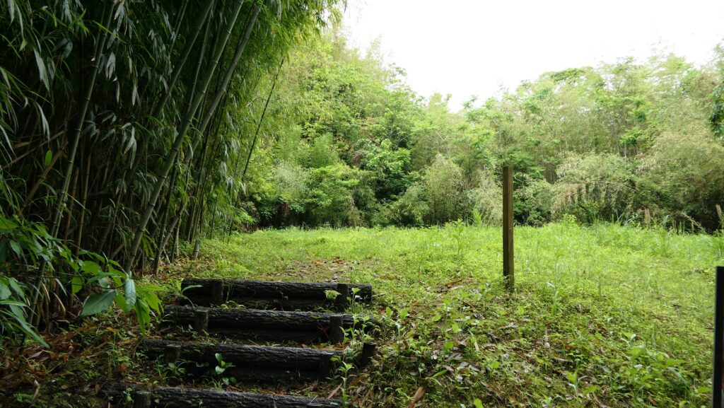
Climbing the steep route on the valley
The route is sandwiched by enclosures on both sides
The sides of the enclosures are cut vertically

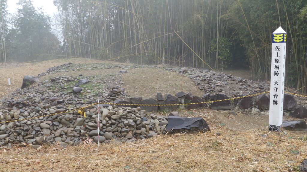
Slightly remaining Main Tower Base in Main Enclosure

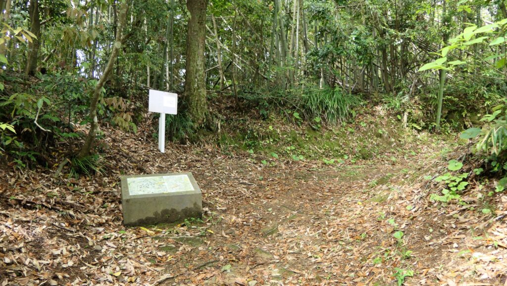
You will eventually reach a fork in the route at he top area, which surrounds the Main Enclosure. The enclosure also has steep cliffs on its side, which was probably cut vertically by the builders. If you take the route on the right, you will arrive at the back entrance of the enclosure.
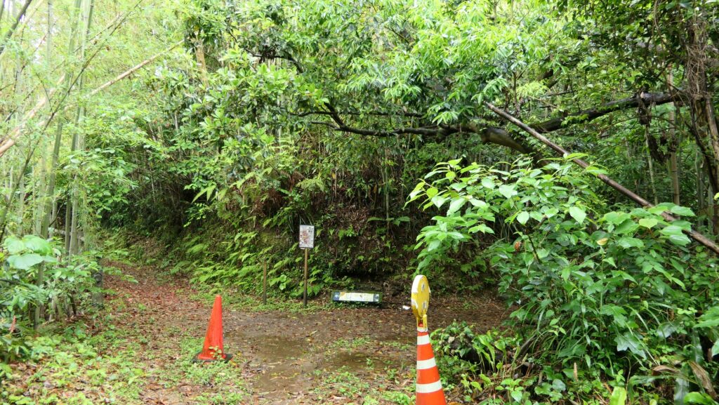
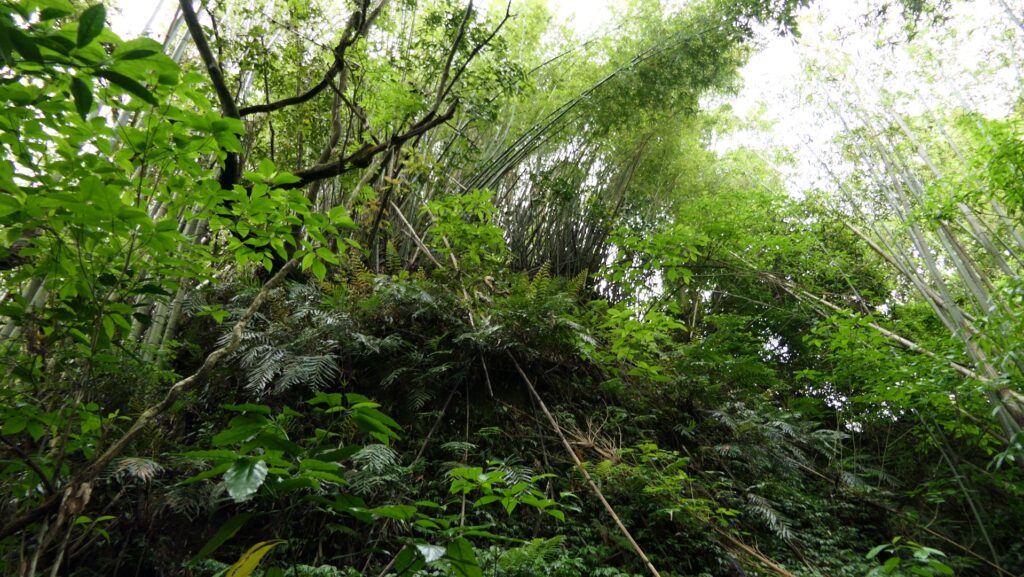
The fork on the mountain
Looking up at the Main Enclosure
The route around the Main Enclosure
The back entrance of the enclosure

While if you take the left one, you will enter the main entrance of it.
The route on the left from the fork
A small enclosure in front of the main entrance of the Main Enclosure
The main entrance

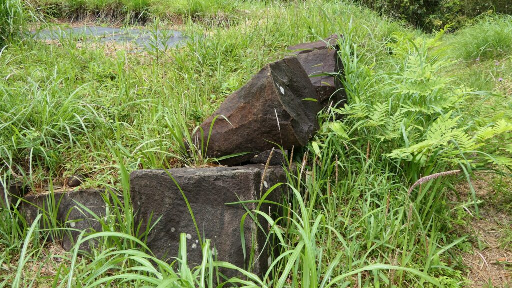
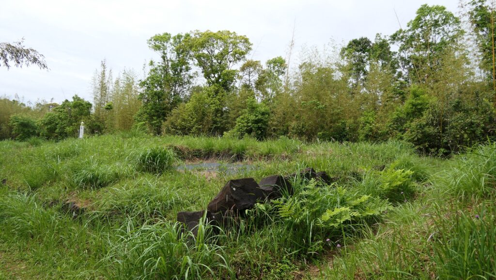
The Main Enclosure now looks like two connected squares and the ruins of the Main Tower base is in the back one. The base ruins have only the foundational stones lining up on the ground. Their upper part was probably destroyed intentionally by the lord of the castle when they closed the mountain part. That makes it difficult to find out who and when the base was first built.
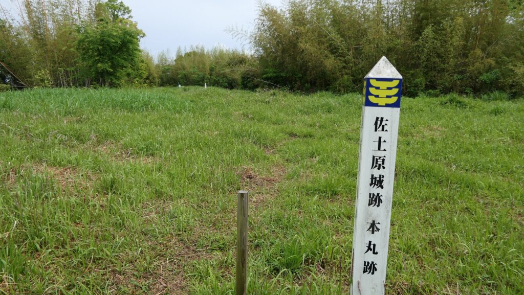
The Main Enclosure (the front square)
The ruins of the Main Tower base (in the back square)
The foundational stones of the base

To be continued in “Sadowara Castle Part3”
Back to “Sadowara Castle Part1”

196.Sadowara Castle Part1

The castle symbolized the Ito Clan’s success and failure.

Location and History

Ito Clan from eastern Japan builds Castle

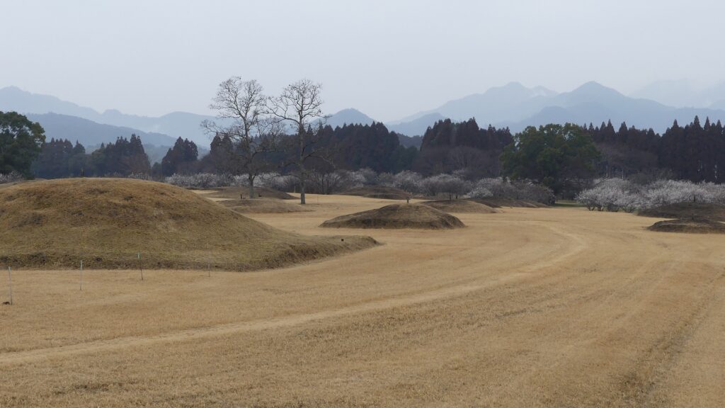
Miyazaki Prefecture is located in the eastern part of the Kyushu Region, which is known for its agriculture. Because of its long from the north to the south and its face is the direction of sunrise, therefore, it’s suitable for farming. Almost all the area of the prefecture was called Hyuga Province, which means the province facing the sun. It is easy to see the province had been fertile since the Ancient Times. There has actually been the popular Saitobaru Burial Mounds which were built between the 4th and 7th Centuries in the central part of the prefecture. The province also had the legend of the first Emperor Jinmu coming from there, going to the east, in order to establish Yamato Imperial Court.

Saitobaru Burial Mounds

The range of Miyazaki Prefecture and the location of the castles

Sadowara Castle was the one which once became the center of Hyuga Province and the home base of the Ito Clan. The clan originated from the Kudo Clan and called themselves a land name of Ito when they settled in Ito, the eastern part of Izu Peninsula, eastern Japan in the 12th Century. Since the Kamakura Shogunate was established at the end of the century, some of the warriors were sent by the shogunate to local areas to govern them. A branch of the Ito Clan, which was sent to Hyuga Province, was one of them. The Tajima-Ito Clan, which was named after the settlement, was said to have first built the castle in the 14th Century.

The range of Izu Peninsula (inside the blue line) and the location of Sadowara Castle

Top of Ito 48 Castles

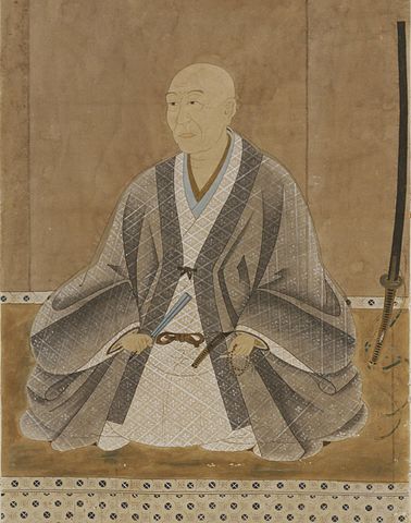
Meanwhile, another person from the core family of the Ito Clan was also sent by the Ashikaga Shogunate to Hyuga Province in the same century to govern the area during the Northern and Southern Courts period. Both Ito Clans were eventually unified and became a strong warlord based in Sadowara Castle. During the Sengoku Period between the 15th and 16th Centuries, the clan often fought against the Shimazu Clan from the south over Hyuga Province. The lord of the clan at that time, Yoshisuke Ito was so aggressive that he was able to capture Obi Castle, a major one in the southern Hyuga Province in 1569. He was just at his peak, having owned 48 castles in the province, in which Sadowara Castle was at the top. Its castle town prospered like the provincial capital and it was called Little Kyoto in Kyushu.

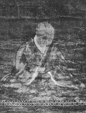
The portrait of Yoshisuke Ito, from the Sakai City History Volume 1 (licensed under Public Domain via Wikimedia Commons)
The ruins of Obi Castle

Sadowara Castle is basically considered one of the Southern Kyushu type castles which were built on the Shirasu Plateau looking like a mountain or a hill in the area. The plateau has been made from volcanic ash caused by ancient eruptions. Its soil is fragile and can easily collapse to form cliffs. Warriors in the area often used this nature to build their castles because it was easy for them to process natural terrain for strong defensive systems. For example, they built deep dry moats, high walls under enclosures, and narrow defensive gates by cutting the soil. Some popular examples of them were Chiran, Obi and Sadowara Castles.

The Main Route of Sadowara Castle
The dry moat of Chiran Castle (licensed by PIXTA)

Castle is captured by Shimazu Clan due to Collapse of Ito

Yoshisuke Ito’s glory didn’t last long, however. He was losing the Ito 48 Castles one by one, triggered by the lost of the Battle of Kizakihara against the Shimazu Clan in 1573. The Shimazu’s force and the Ito’s deterioration also made his retainers alienate him more and more. He wondered if he could be besieged in Sadowara Castle, but the situation didn’t allow him to do so, but he was forced to leave the castle. He escaped from Hyuga Province with his family and few vassals to Bungo Province in the north, where his ally, Sorin Otomo governed. This was called the Collapse of Ito. They had finally lost all that they had and eventually became wanderers. Yoshisuke died while drifting in 1585 before his son, Suketake returned to Obi Castle in Hyuga Province in 1588 by serving his new master, the ruler, Hideyoshi Toyotomi.

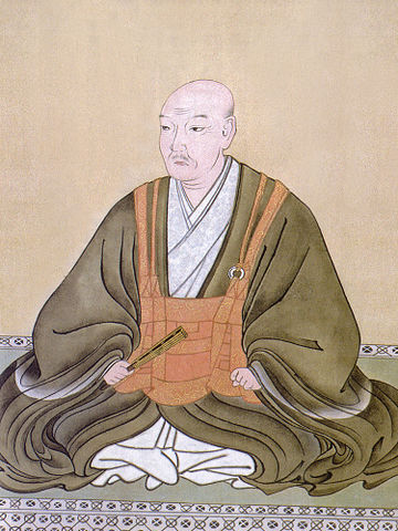
The portrait of Sorin Otomo, owned by Zuihoin (licensed under Public Domain via Wikimedia Commons)
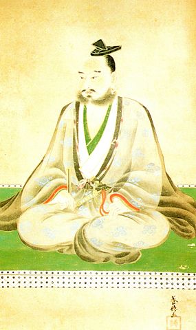
The portrait of Suketake Ito, owned by the board of education of Nichinan City (licensed under Public Domain via Wikimedia Commons)

Sadowara Castle was eventually owned by the Shimazu Clan. The clan might have improved the castle by building the Main Tower on the top, but It has not been confirmed yet. The Main Tower is said to be the one which was located in the southernmost place in Japan. After the lord of the castle, Toyohisa Shimazu was killed in the battle of Sekigahara in 1600, the castle was followed by the Tokugawa Shogunate and Mochihisa Shimazu whose successors governed it until the end of the Edo Period as the Sadowara Domain. Mochihisa’s son, Tadaoki abandoned the castle on the mountain and moved it to the foot where the Main Hall was built. This was because maintaining the castle on the Shirasu Plateau was too difficult and the hall on the plain land was convenient for the government during the peaceful Edo Period.

The ruins of the Main Tower base of Sadowara Castle
The portrait of Mochihisa Shimazu, from the database of Historiographical Institute The University of Tokyo (licensed under Public Domain via Wikimedia Commons)
The restored Main Hall at the foot as an historical museum

To be continued in “Sadowara Castle Part2”

198.Chiran Castle Part2

You can experience a castle on the Shirasu Plateau.

Features

Walking down to Maintain Castle

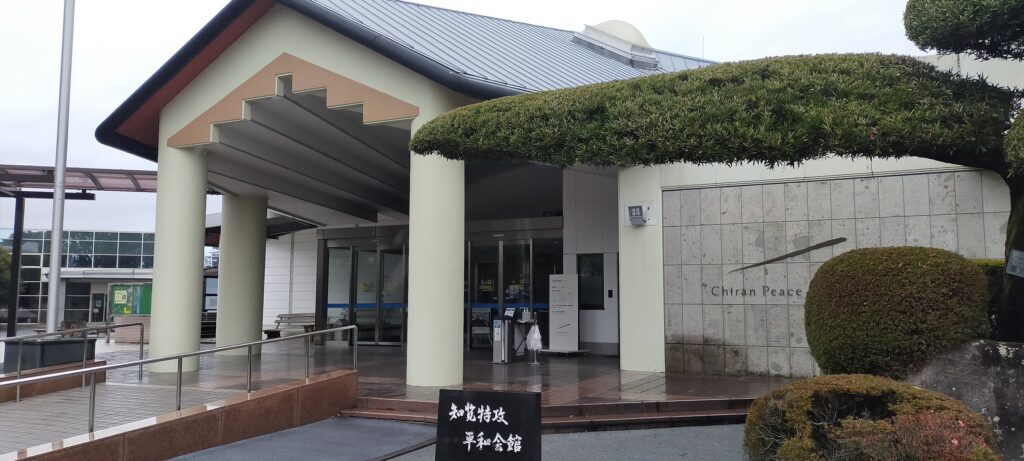
Today, the ruins of Chiran Castle are accessible either from the Chiran Samurai Residences side at the foot the plateau or from the former Chiran Airport (where Chiran Peace Museum for Kamikaze Pilots is located) side on the plateau. If you choose the latter route, you may get an interesting experience.

The map around the castle, the blue broken line is the route from Chiran Samurai Residences to the castle, and the red broken line is the route from the former Chiran Airport to the castle

When you want to go to a mountain (or hill) castle, you will usually go up or at least go on flat ground close to the castle. However, in the case of the route from the plateau to Chiran Castle, you will go down towards the castle and eventually reach the bottom of the deep dry moats. This is because of the special location and the construction method of this castle on the edge of the plateau. You will also look up at the tall enclosures looking like mountains from the ruins’ entrance which is actually the moat’s bottom.

Chiran Peace Museum for Kamikaze Pilots
The route goes down from around there
The route is going down
Arriving at the past bottom of the moat, the plateau in on the right
The enclosures on the plateau look very tall

Walking on Bottom of Deep Dry Moat

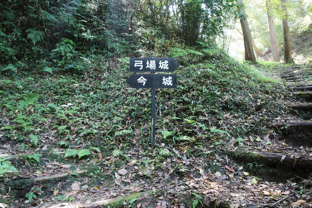
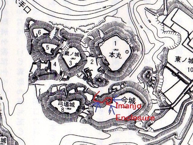
The dry moat is still about 20m deep which was filled in naturally by the collapsing volcanic ash since the period of the castle being active. Visitors first need to walk on the bottom of the moat which was also used as a path in the past. If you walk on the bottom from the entrance, two of the four primary enclosures, the Main and Kuranjo Enclosures are on the right, and the other two enclosures, Imanjo and Yunbajo Enclosures are on the left, as the signposts at the site show.

The map around the castle including the four primary enclosures

The bottom of the dry moat (licensed by PIXTA)
the signpost for Imanjo and Yunbajo Enclosures at the site (licensed by PIXTA)

Protected Route to Enclosure

For example, if you want to go to the Imanjo Enclosure, you need to turn left and go up the path to it. However, the path doesn’t go directly to its entrance. Attackers first need to reach the wall of the enclosure and go along the side to reach it. That means the defenders of the castle would attack enemies from above before they reach the entrance. The entrance also had the defensive Masugata system. The inside of the enclosure is a flat square which has no buildings now, but you can see the earthen square shape of Masugata and earthen walls around.

The layout drawing of Chiran Castle, quoted by Minami-Kyushu City, the route to Imanjo Enclosure (the red arrow) and the counterattack from the enclosure (the blue arrow)

To be continued in “Chiran Castle Part3”
Back to “Chiran Castle Part1”