Features
Three Gate Ruins
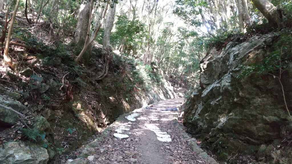
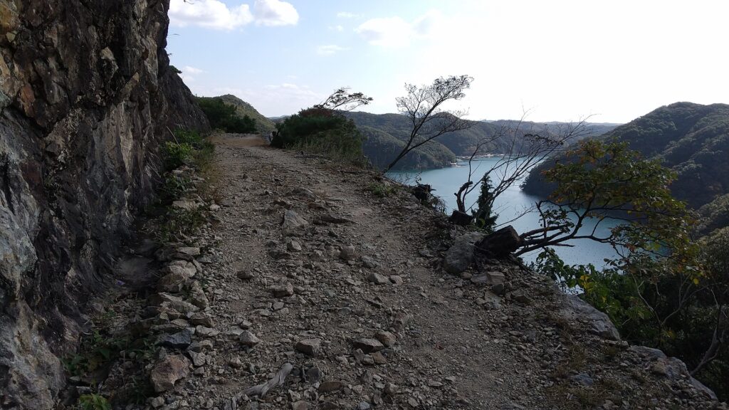
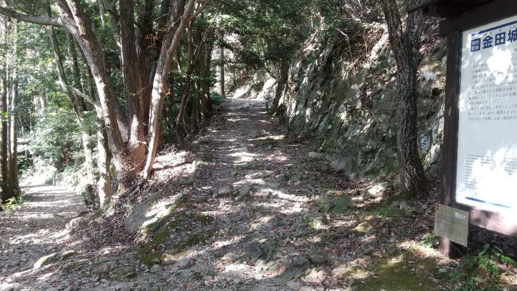
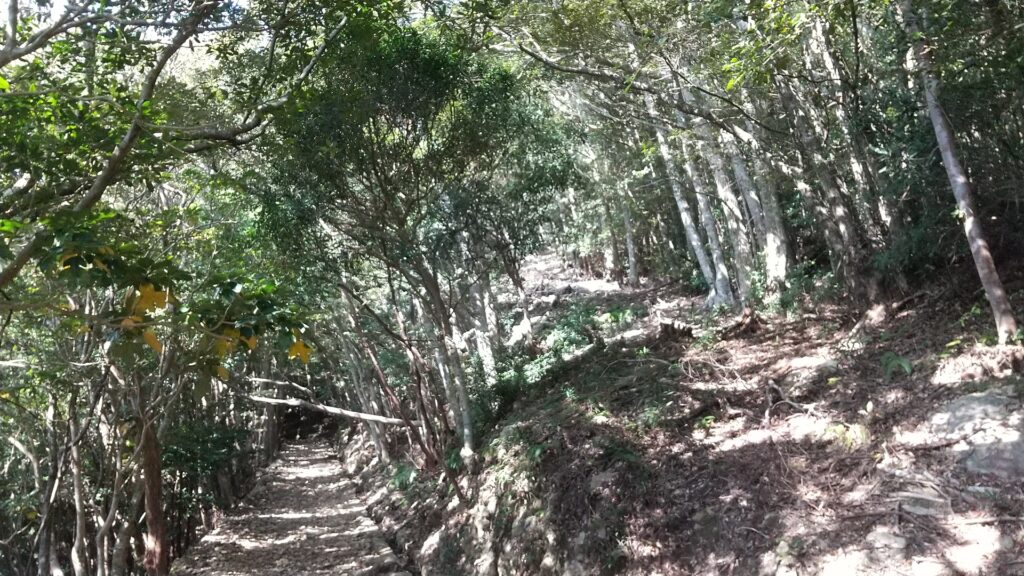
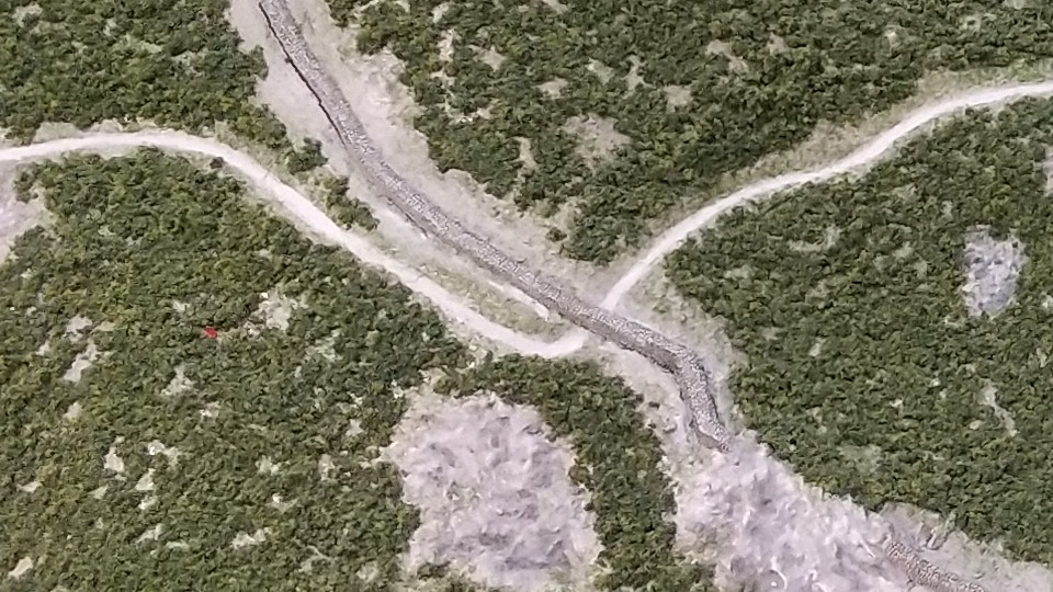
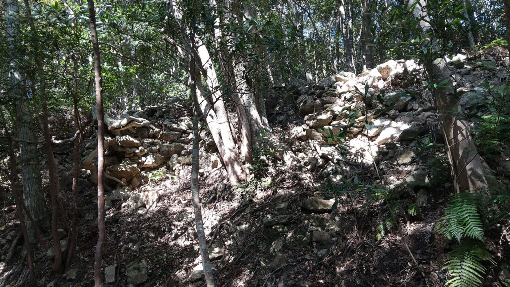
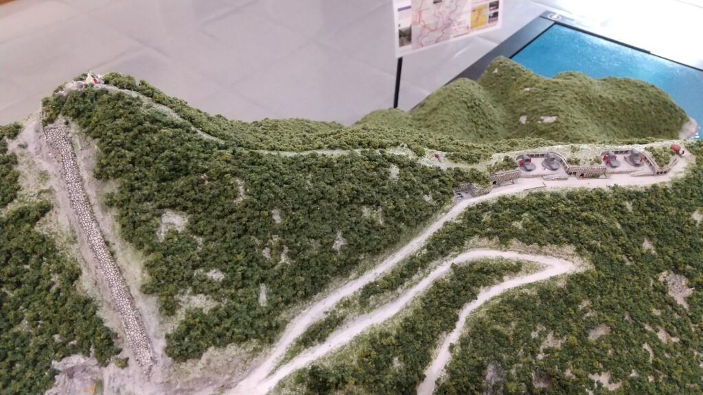
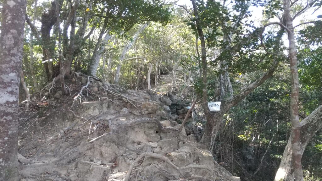
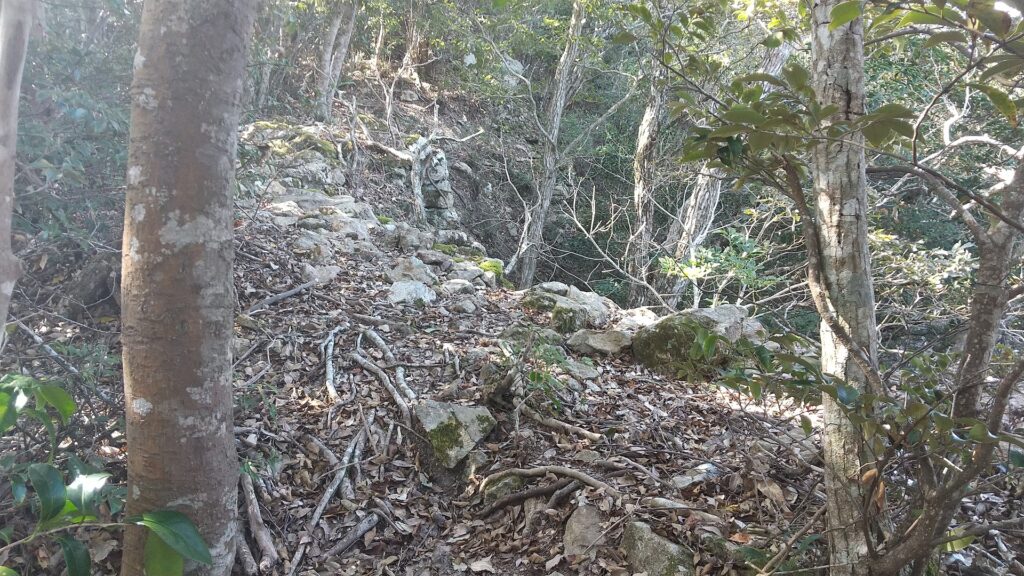
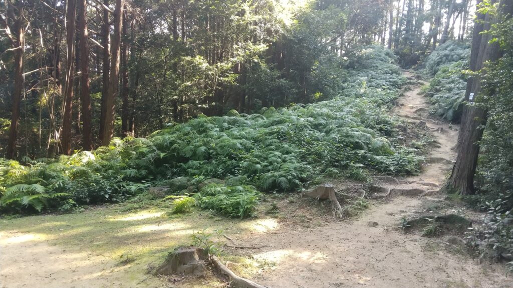
There are branch paths from the first turning point of the main hiking course to other attractions of the castle ruins. The paths are not the former military road and are a little rougher than it. These are not as popular as the military road. However, it is worth to visit. If you walk down the path for a while, you will be at the junction of another path to the first and second gate ruins, and the other path to the third gate ruins.
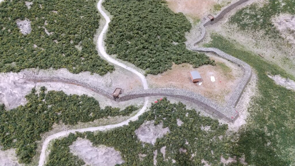
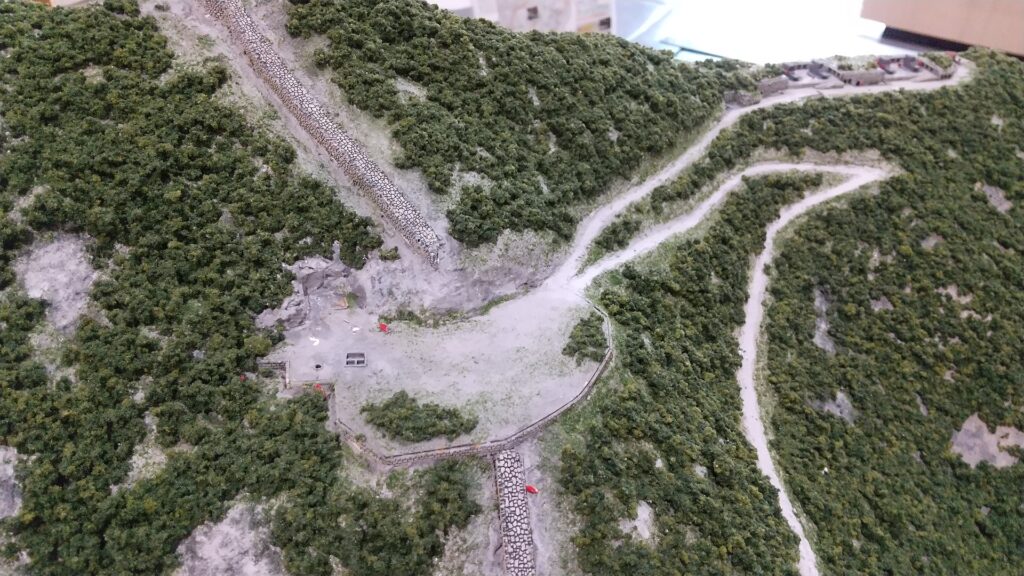
The map around the castle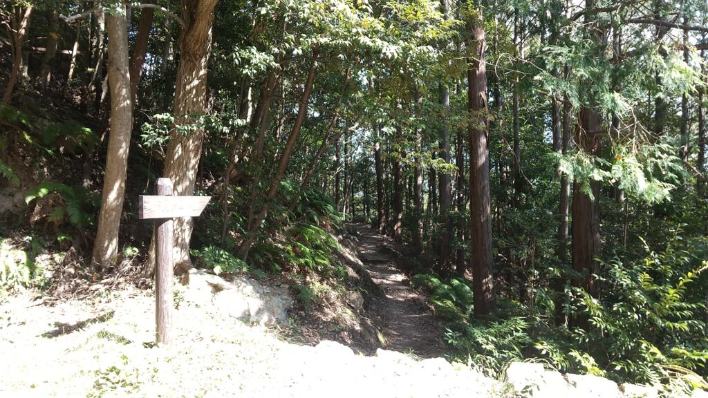
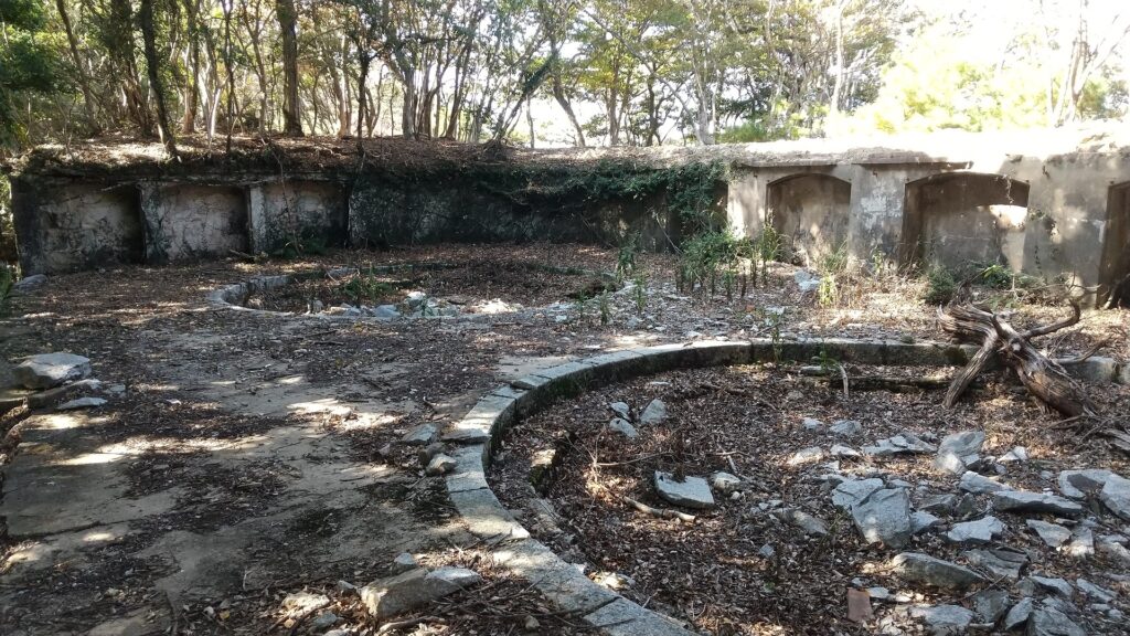
The junction is near a hill called Bingushi Mountain where the ruins of other buildings were discovered. These buildings are thought to have been used as barracks for the Sakimori soldiers.
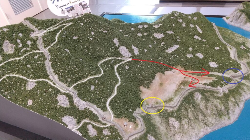

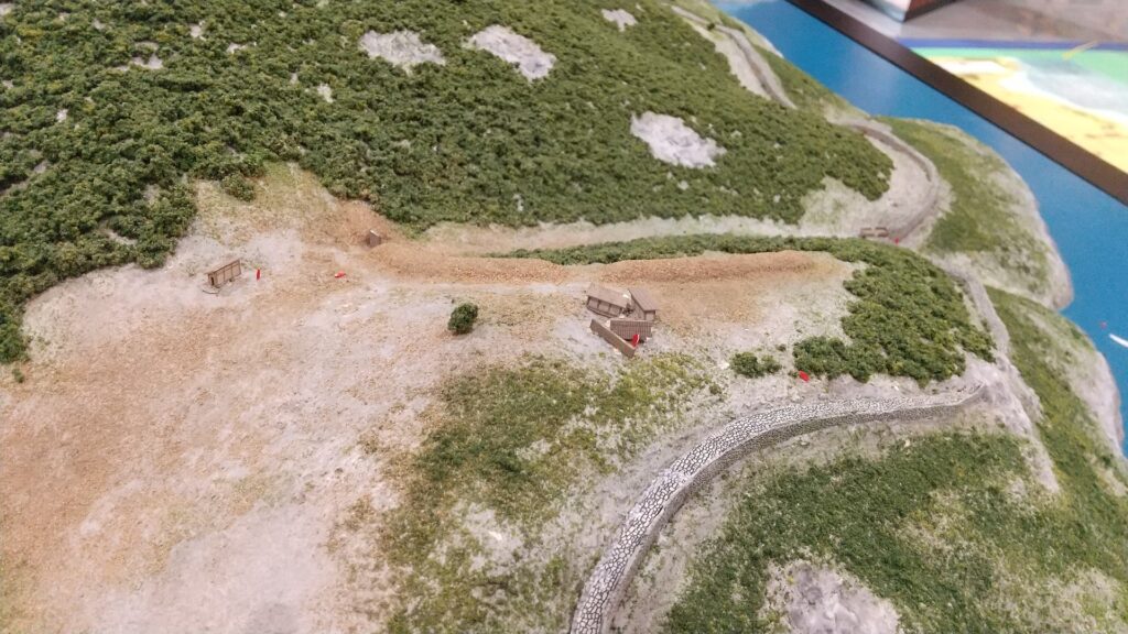
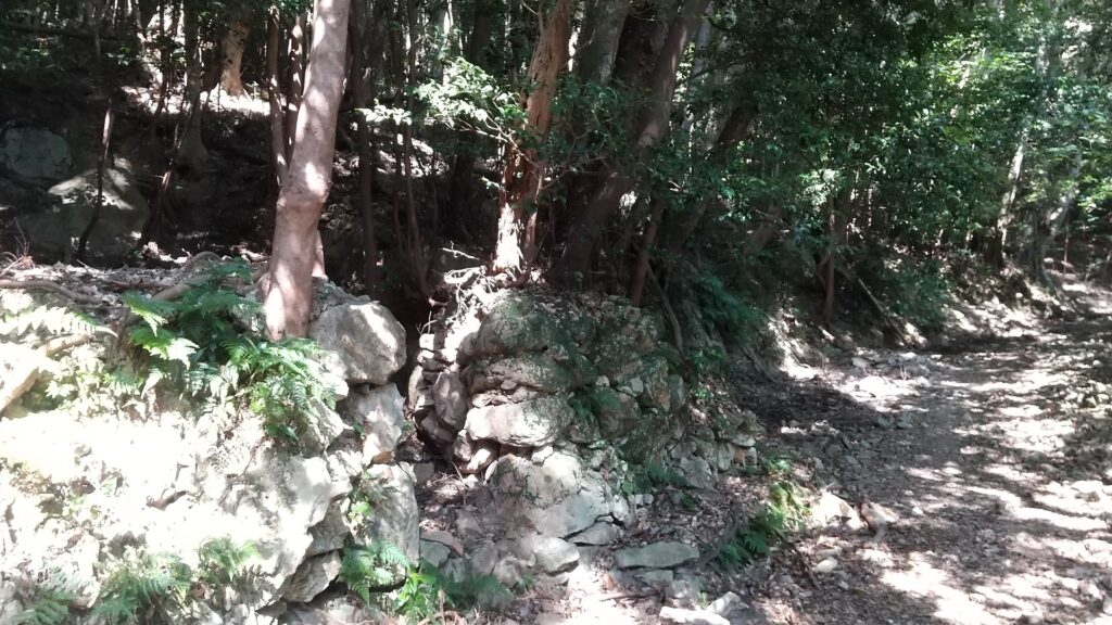
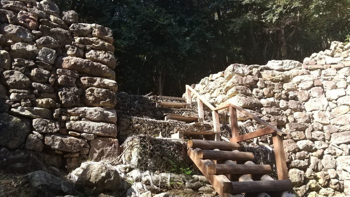
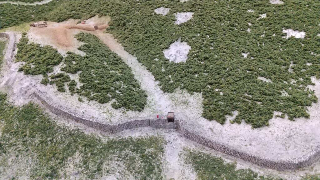
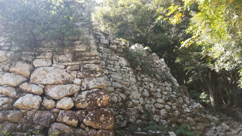
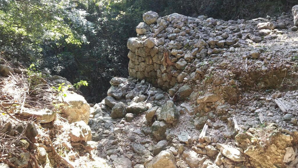
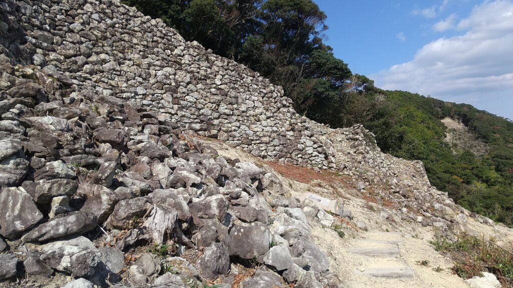
The three gates were built using stones at the eastern side as castle and water gates near the seaside. The stones used in the castle are mainly natural while part of the stones of the first gate are rectangular- processed. However, it is said that they were piled by the Tsushima Domain during the Edo Period to guard the coast. They’ve been restored and repaired so that visitors can see them as if they used to look.


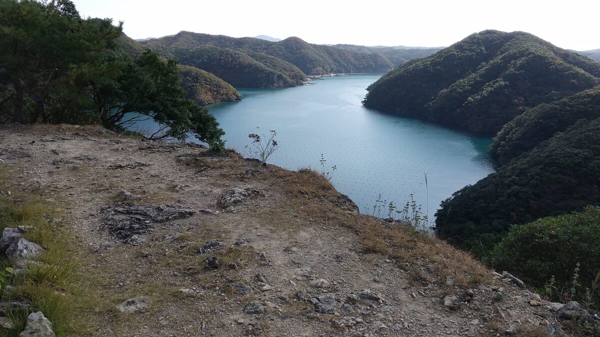
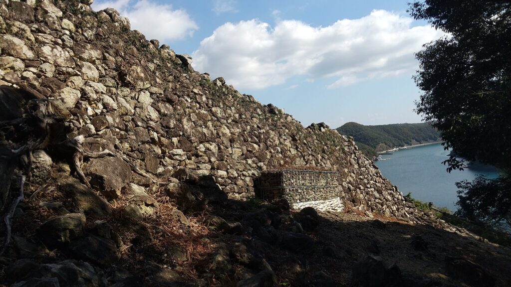
Wonderful Stone Walls along Sea
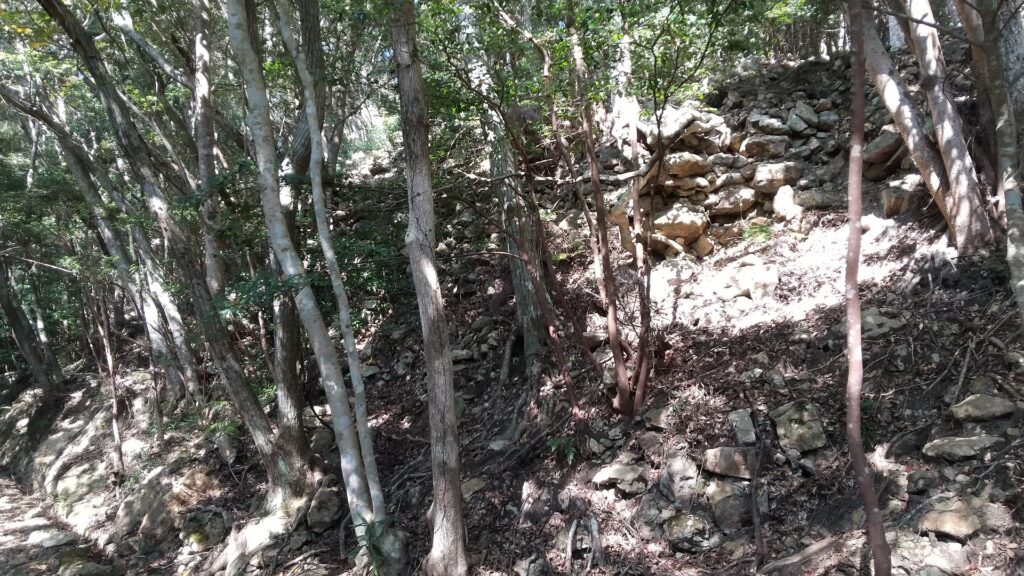
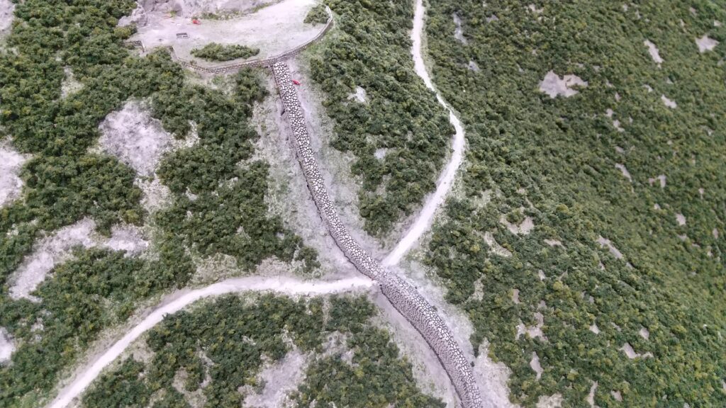
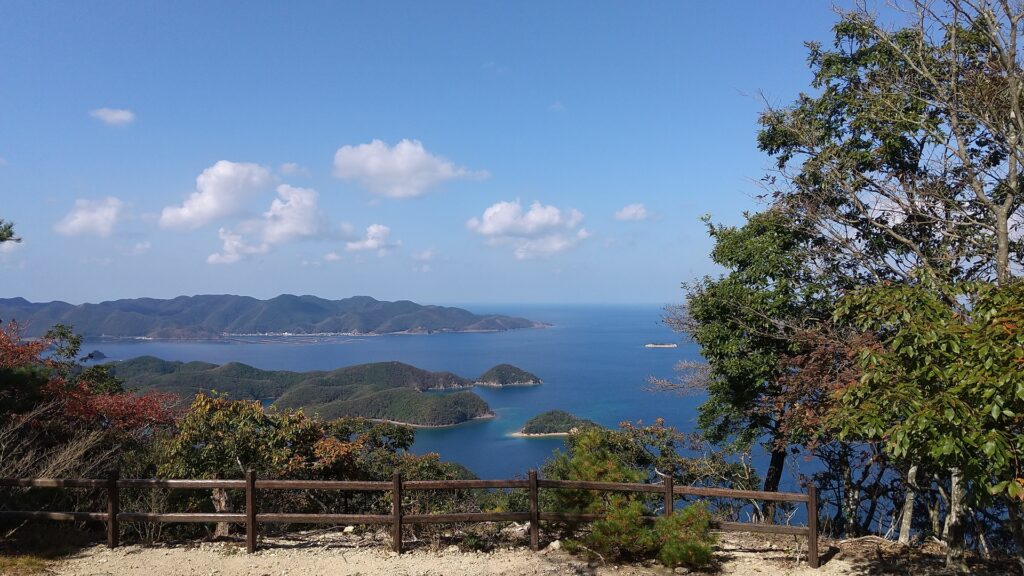
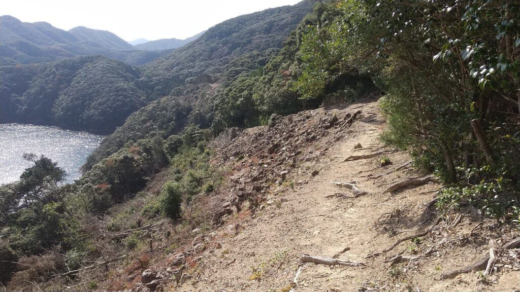
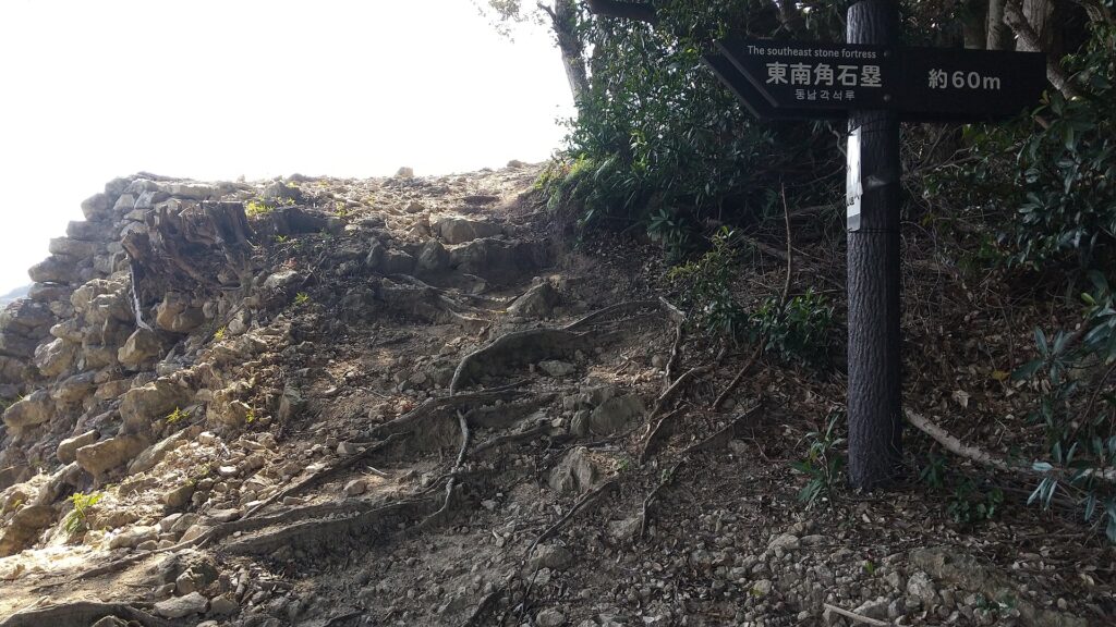
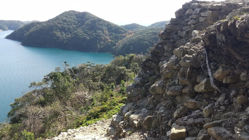
After you visit the third gate ruins, you can return by the same route or by another path though the southeast stone fortress. If you take the latter, you will see the great long stone walls of the eastern side on the right and beautiful Aso Bay on the left. Please watch your step as the path is partially unstable.
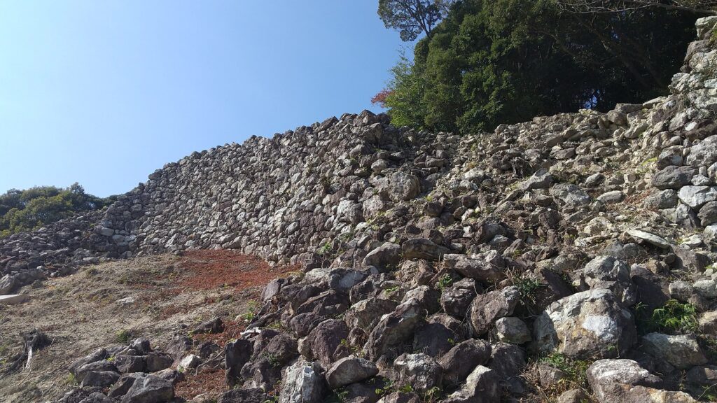
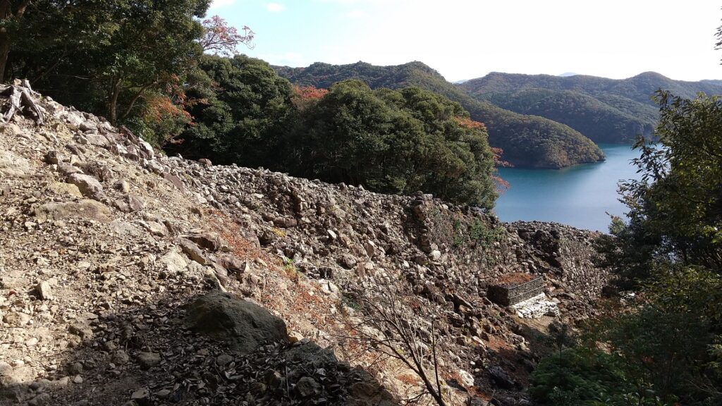
The southeast stone fortress is really great, too! The corner of the fortress was protruded outward to build a salient with enhanced defense in preparation for an enemy’s attack. It looks like a Gusuku (Okinawan castle) or a small Great Wall of China. If you walk up along the fortress, you will return to the route you passed.


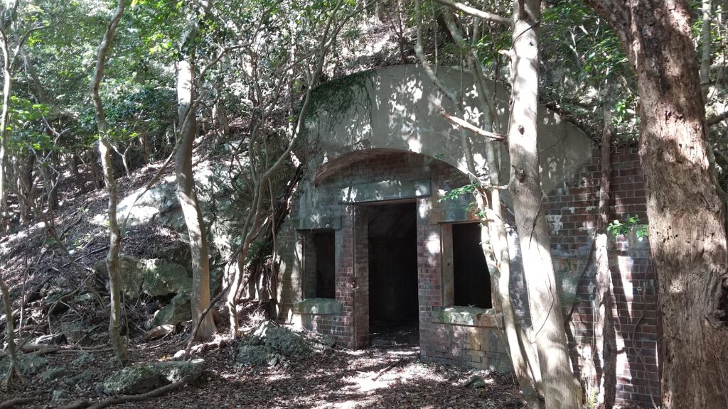
Later History
People alway knew about Kaneda Castle because it had been recorded in the Nihon-shoki chronicles, however, they didn’t know about where it was as it had been abandoned too early to remember. For example, trade with Korea was done at a shrine near the first gate during the Middle Ages and the Tsushima Domain used the gate during the Edo Period, but they didn’t notice it was a ancient mountain castle. There is no telling how the Imperial Japanese Army treated it. Historians discovered the ruins on the mountain in the Taisho Era (1910-1925) and they finally confirmed it as Kaneda Castle after World War II. As a result, the ruins were designated as a National Special Historic Site in 1982.

My Impression
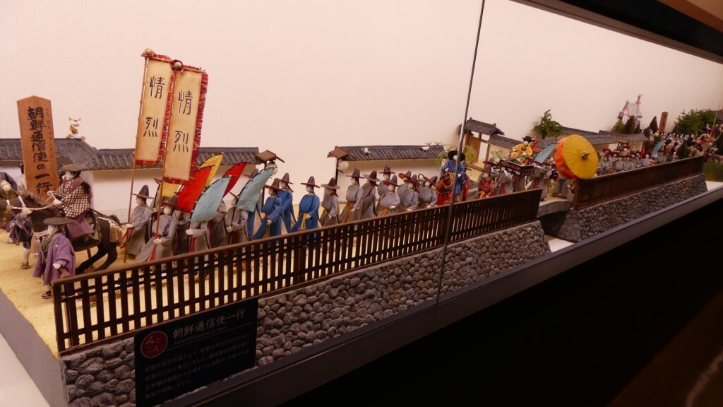
I was very surprised to see that the Joyama Mountain has become dual historical sites of the ancient times and modern times. Both sites show us there were strained relations with foreign countries at those times. Other than that, Tsushima also had dramatic events such as during the Mongolian Invasions and the invasion of Korea by Hideyoshi Toyotomi. On the other hand, there were also peaceful relationships such as with the Korean Envoys. We can now see many tourists visiting Tsushima from Korea recently, too. There is no need to say which is better.
How to get There
I recommend using a car to get there. It takes about 20 minutes from Tsushima Airport or about 30 minutes from Izuhara Port. There is a small parking lot at the starting point of the hiking course.


That’s all. Thank you.
Back to “Kaneda Castle Part1”
Back to “Kaneda Castle Part2”