38.岩村城 その3

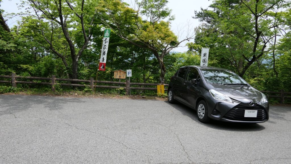
駐車する場所にご注意ください。

特徴、見どころ

城の中心部、本丸へ

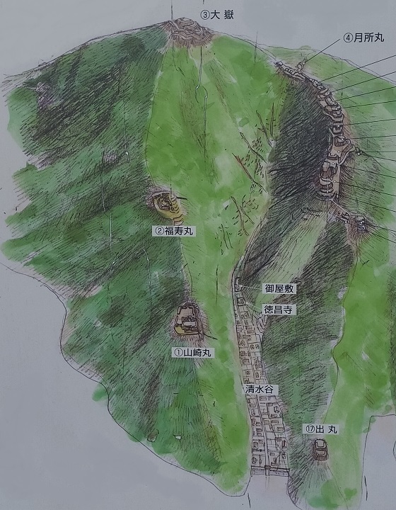
本丸周辺の地図

東丸からは、二つの門跡とその間にある長局(ながつぼね)曲輪を通って、本丸に向かいます。

かつての東丸(手前)と長局曲輪(奥)、現地掲示板より
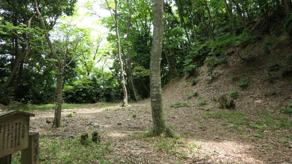
現在の東丸
長局曲輪の入口、長局埋(ながつぼねうずみ)門跡
細長い長局曲輪
長局曲輪の出口、本丸正門(東門)跡
本丸正門跡を内側から見ています

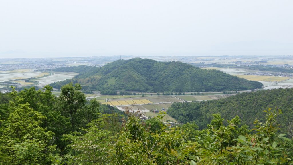
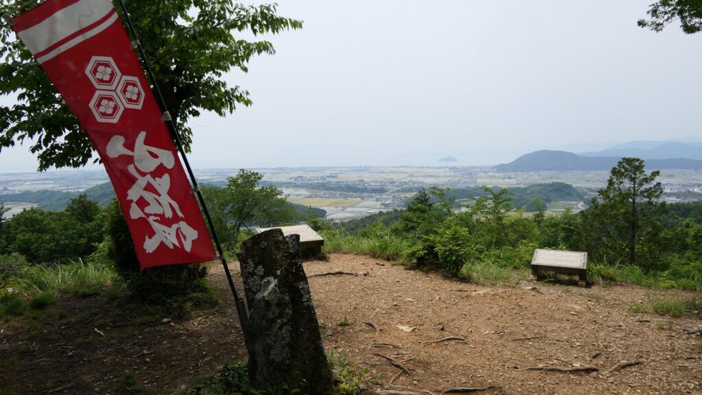
本丸の内部は広場になっています。そこからは遥かに市街地と、本丸を守るために設置された出丸など城の周辺部が見渡せます。出丸は今は駐車場となっています。

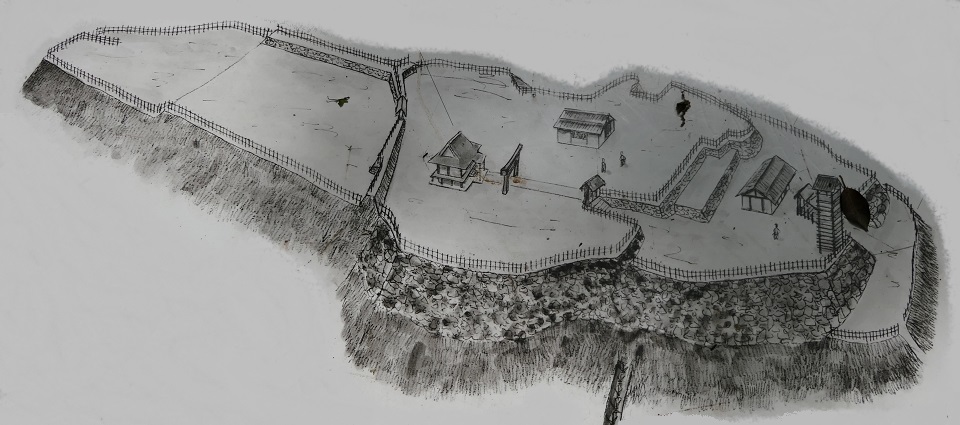
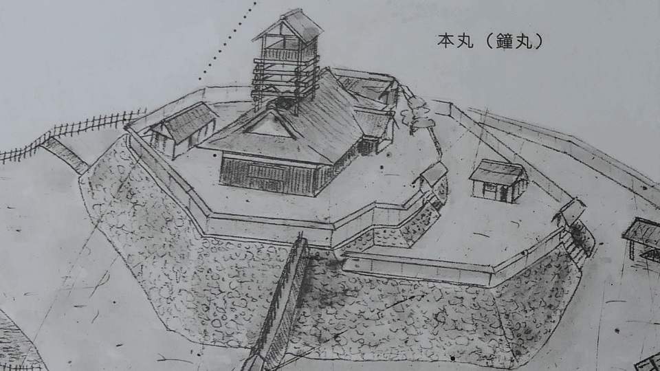
かつての本丸、現地掲示板より
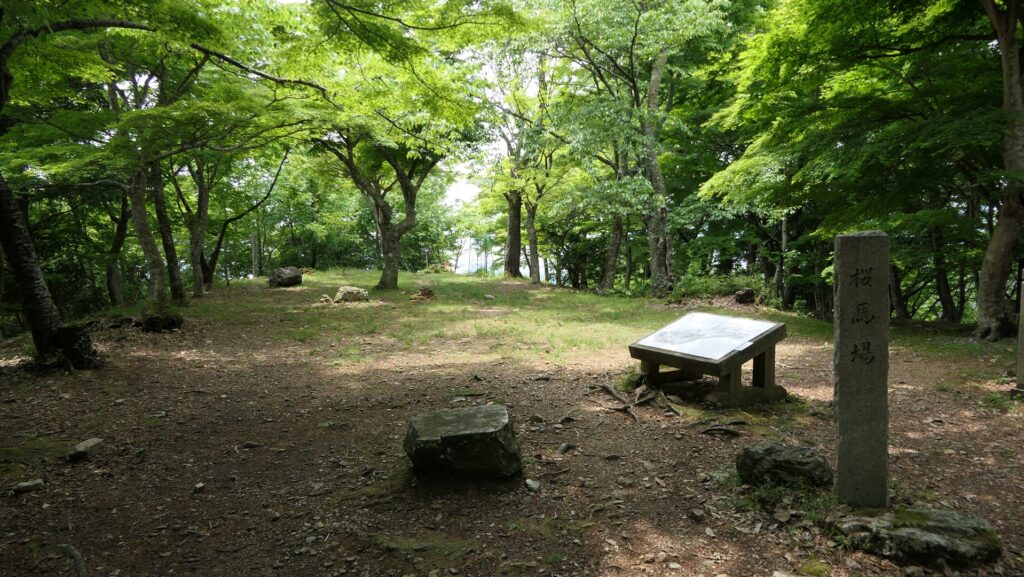
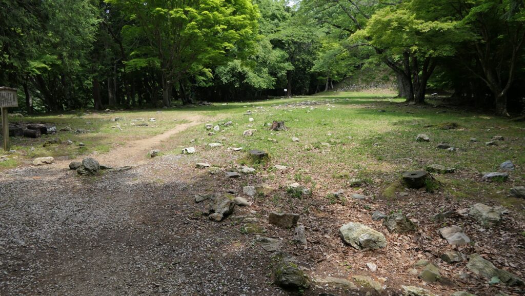
本丸内部
本丸からの眺め
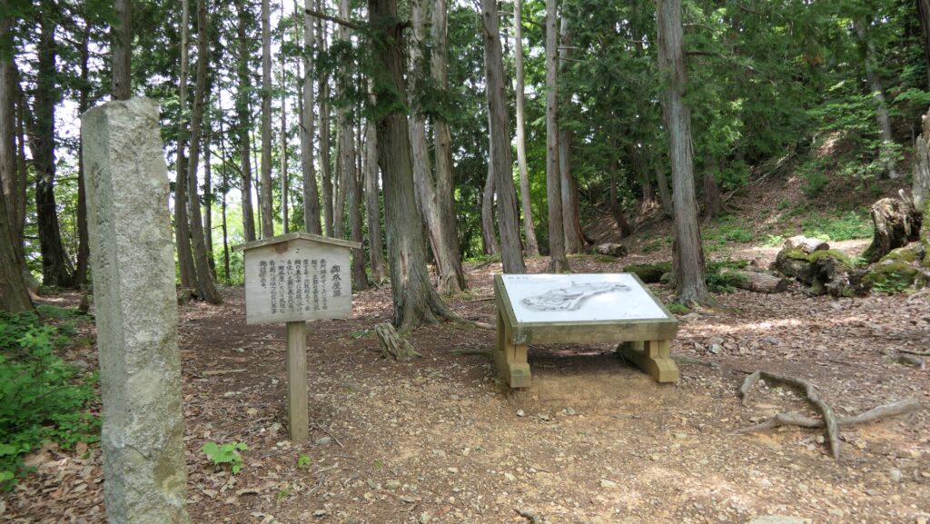
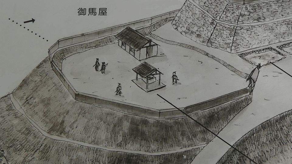
かつての出丸、現地掲示板より
本丸から見た出丸
出丸を横から見ています

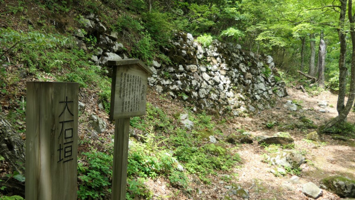
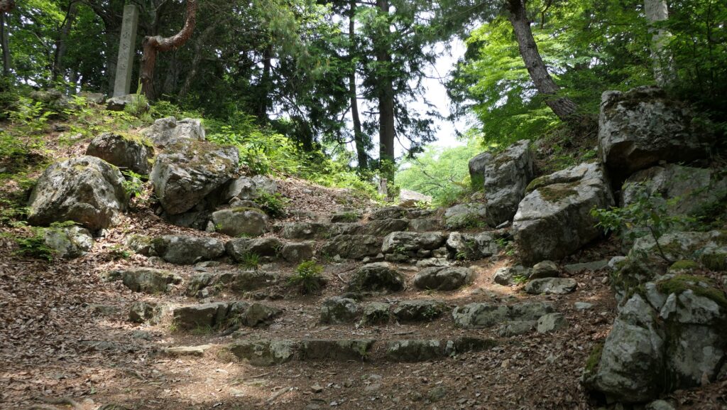
また本丸には、二の丸からの入口となっている埋(うずみ)門跡もあります。ここにある石段は皆三角形に加工されていて、とても興味深いです。

かつての本丸埋門、現地掲示板より
本丸埋門跡
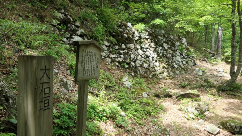
三角形に加工されている石段

その後

明治維新後、岩村城は廃城となり、山麓の御殿を除く全ての城の建物は撤去されました。その御殿も1881年の火災により燃えてしまいます。岩村歴史資料館が1972年に、以前御殿があったところに開館しました。1990年には御殿の一部が復元されました。山上部分においては、城跡を保有する恵那市が近年発掘と調査を行い、整備と保全を行いました。また、将来国の史跡に指定されるよう活動を行っています。

岩村歴史資料館
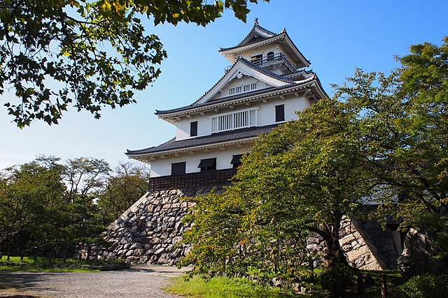
一部復元された御殿 (taken by HiC from photoAC)

私の感想

岩村城跡を訪れたとき、私は駐車場所についてミスをしてしまいました。もともと山麓から山頂に向かって城跡を見て回りたかったのです。ところが自動的に設定されたカーナビの案内により、山頂近くの駐車場に行ってしまいました。そのため、山麓の方に一旦降りてから、山頂に戻るような形になってしまいました。城跡全体を見て回りたい方は山麓に駐車した方がよいでしょう。一方、山頂にある見事な石垣だけを見たい方は、山頂の本丸から数分のところにある、出丸の駐車場を利用された方がよいでしょう。

出丸にある駐車場
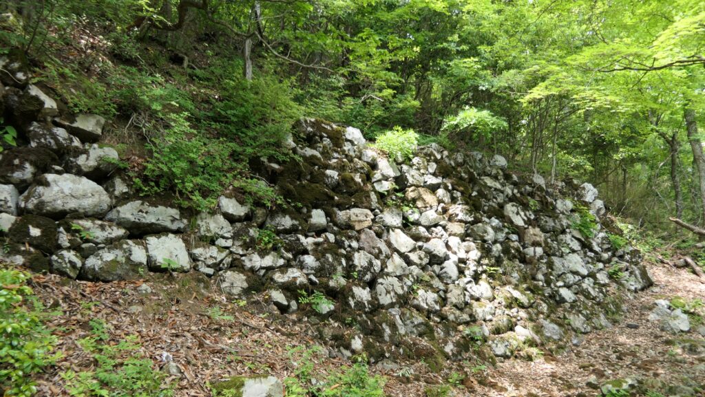
山頂近くにある六段石垣

ここに行くには

この城跡に行かれる方は、車を使われることをお勧めします。
中央自動車道の恵那ICから約20分かかります。城跡の頂上近く及び山麓に2ヶ所の駐車場があります。
公共交通機関を使う場合は、明知鉄道の岩村駅から城跡の山麓まで、歩いて約30分かかります。
東京または大阪から岩村駅まで:東海道新幹線に乗って、名古屋駅で中央本線に乗り換え、恵那駅で明知鉄道に乗り換えてください。

リンク、参考情報

女城主の里いわむら、公式ウェブサイト
・「東海の名城を歩く 岐阜編/中井均 内堀信雄編」吉川弘文館
・「日本の城改訂版第80、126号」デアゴスティーニジャパン
・「よみがえる日本の城16」学研

これで終わります。ありがとうございました。
「岩村城その1」に戻ります。
「岩村城その2」に戻ります。

38.Iwamura Castle Part2

The castle ruins are worth to climb

Features

Long Trail to Top of Mountain

Today, the ruins of Iwamura Castle have been well developed for visitors. If you climb up from the foot to the top of the mountain, you can understand how strong the castle was. There is the partly restored Main Hall for the lord with the Drum Turret on the foot. From the foot, you will need to climb to the top for about 800 m long and about 170 meters high. Only stone walls and foundations of the castle remain on the mountain. However, if you have a smartphone, you can see the re-produced image using CG and hear the explanation (however only available in Japanese) at each signboard by scanning the QR code on it.

The starting point to the castle ruins

The map around the castle

An example of the re-produced images (around the Main Gate)

Lots of Gateway to protect Castle

The first part of your climb may be very tough because the trail is steep and it’s on a winding road which is as long as 500m, which is called Fijisaka. You will pass three defense points called Hatsu-mon Gate, Ichi-no-mon Gate and Toki-mon Gate before reaching the Main Gate Ruins. Enemies in the past must have also found it tough when they attacked the castle through the same route.

The long Fujisaka road
The past Hatsu-mon Gate drawn in the signboard at the site
The present Hatsu-mon Gate Ruins seen from above
The past Ichi-no-mon Gate drawn in the signboard at the site
The present Ichi-no-mon Gate Ruins
The past Toki-mon Gate drawn in the signboard at the site
The present Toki-mon Gate Ruins
The Toki-mon Gate Ruins seen from above

Main Gate, Pivot for Defense

The Main Gate was the pivot for the defense, which had a complex system protecting the castle. The Three-level Turret was built beside the gate, which was also the symbol of the castle. The current trail goes around to the left, but visitors in the past had to go across a bridge called the Tatami-bashi which went straight to the gate. The floor boards of the bridge could be removed like tatami mats (traditional mats in Japanese homes) if enemies were to attack. Moreover, visitors had to turn left on the bridge when they entered the gate. If visitors were enemies, they would have been stuck and counterattacked from the turret and gate.

The past around the Main Gate drawn in the signboard at the site
The present around the Main Gate Ruins
The current trail goes around to the left
The Tatami-bashi Bridge was built here

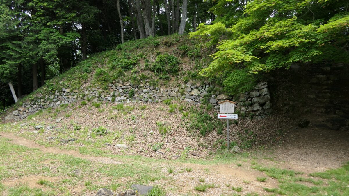
After passing the Main Gate Ruins, the trail becomes easier, and the area around it is relatively spacious. There used to be some warriors’ houses in the past. You will go though the area seeing the Hachiman Shrine Ruins on the left and the Kirigai Well which was said to never run out of water on the right. There were two routes in the past to reach the Main Enclosure on the top, the one from the Second Enclosure and the other from the Eastern Enclosure. However, the Second Enclosure is not well developed for visitors now, so most visitors usually go towards the Eastern Enclosure instead.

The ruins of the warriors’ houses
The Hachiman Shrine Ruins
The Kirigai Well
The Second Enclosure on the right

Six Tier Stone Walls, Highlight of Castle

One of the highlights of the castle is the Six Tier Stone Walls of the Main Enclosure beside the Eastern Enclosure. They look so great. In fact, these stone walls had originally been a single high stone walls, but the other tiers were added later to prevent them from collapsing. Other than that, the Main Enclosure is all surrounded by great stone walls, especially, the high stone walls on the western side are also so nice.

A front view of the Six Tier Stone Walls
A view of the Six Tier Stone Walls from the right side
A view from the top of the Six Tier Stone Walls
The high stone walls on the western side of the Main Enclosure

To be continued in “Iwamura Castle Part3”
Back to “Iwamura Castle Part1”

38.岩村城 その2

登り甲斐がある城跡です。

特徴、見どころ

長く続く山頂への道

今日、岩村城跡はビジター向けによく整備されています。もし、山麓から山頂の方に向けて歩いていかれれば、この城がどんなに強力だったかわかると思います。山麓には太鼓櫓とともに城主御殿が一部復元されています。山麓から山頂までは、距離で800m、比高で170mを登っていく必要があります。山の上には城の石垣と基礎部分だけが残っています。ただ、もしスマートフォンをお持ちでしたら、説明板にあるQRコードをスキャンすることで、CGによる再現イメージを見て、説明音声を聞くことができます。

城跡への登り口

城周辺の地図

CGによる再現イメージの例(追手門周辺)

いくつもの関門

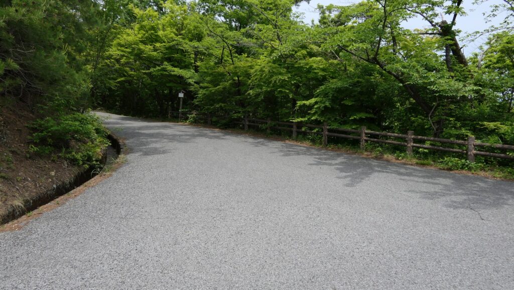
前半の登りは結構つらいかもしれません。急で且つ曲がりくねっている山道が500mも続くからです。この部分は藤坂と呼ばれています。ここの区間では、初門、一の門、土岐門という3つの防御拠点を通り過ぎ、追手門跡にたどり着きます。過去に城を攻めた敵も、同じルートから攻めたときには大変な困難を感じたはずです。

長く続く藤坂
かつての初門、現地掲示板より(建物は当時からなかったようです)
上の方から見た現在の初門跡
かつての一の門、現地説明板より
現在の一の門跡
かつての土岐門、現地説明板より
現在の土岐門跡
上の方から見た土岐門跡

防衛の要、追手門

追手門は防衛の要で、城を守るための複雑な仕組みを備えていました。三階建ての櫓が門のとなりにあり、城のシンボルにもなっていました。現在の山道は左側に回り込んでいますが、過去の城への訪問者は畳橋と呼ばれた門に真っ直ぐ伸びる橋を渡っていきました。その橋の橋板は、敵が攻めてきたときには畳のように取り外せるようになっていました。更に橋の上で左折し、門に入って行かなければならなかったのです。もしそれが敵だったら、その地点で釘付けとなり、櫓と門の両方から反撃を受けたことでしょう。

かつての追手門周辺、現地説明板より
現在の追手門跡周辺
現在の山道は左側に回り込んでいます
かつてはこの辺に畳橋がかかっていました

追手門跡を過ぎた後は、山道はやや緩やかになり、その周辺は比較的広々としています。かつてはここに武家屋敷が並んでいました。そこから、左側に八幡神社跡、右側に水が枯れることがないといわれる霧ヶ井という名の井戸を見ながら進んでいきます。頂上にある本丸に行くには2つのルートがあります。一つは二の丸を通り、もう一つは東丸を通ります。しかし、二の丸はビジター向けにはあまり整備されていないため、ほとんどの人は東丸の方向かって歩いていきます。

武家屋敷があった辺り
八幡神社跡
霧ヶ井
右側が二の丸

最大の見どころ、六段石垣

この城の最大の見どころの一つは、東丸のとなりの本丸の六段石垣でしょう。見事な石垣です。実は、この石垣はもともと一段の高石垣だったのですが、崩壊を防ぐために後に他の段が付加されたのです。それ以外にも、本丸は素晴らしい石垣によって囲まれています。特に西側の高石垣は、見ものです。

六段石垣(正面から)
六段石垣(右側から)
六段石垣の上からの眺め
本丸西側の高石垣

「岩村城その3」に続きます。
「岩村城その1」に戻ります。