147.高天神城 その3

マイベスト山城

特徴、見どころ

大手道周辺

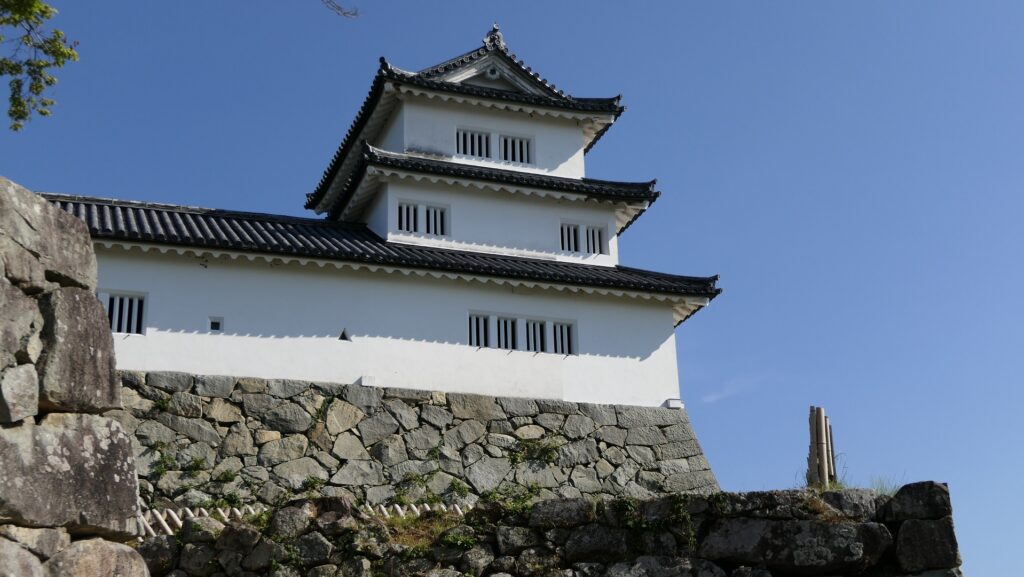
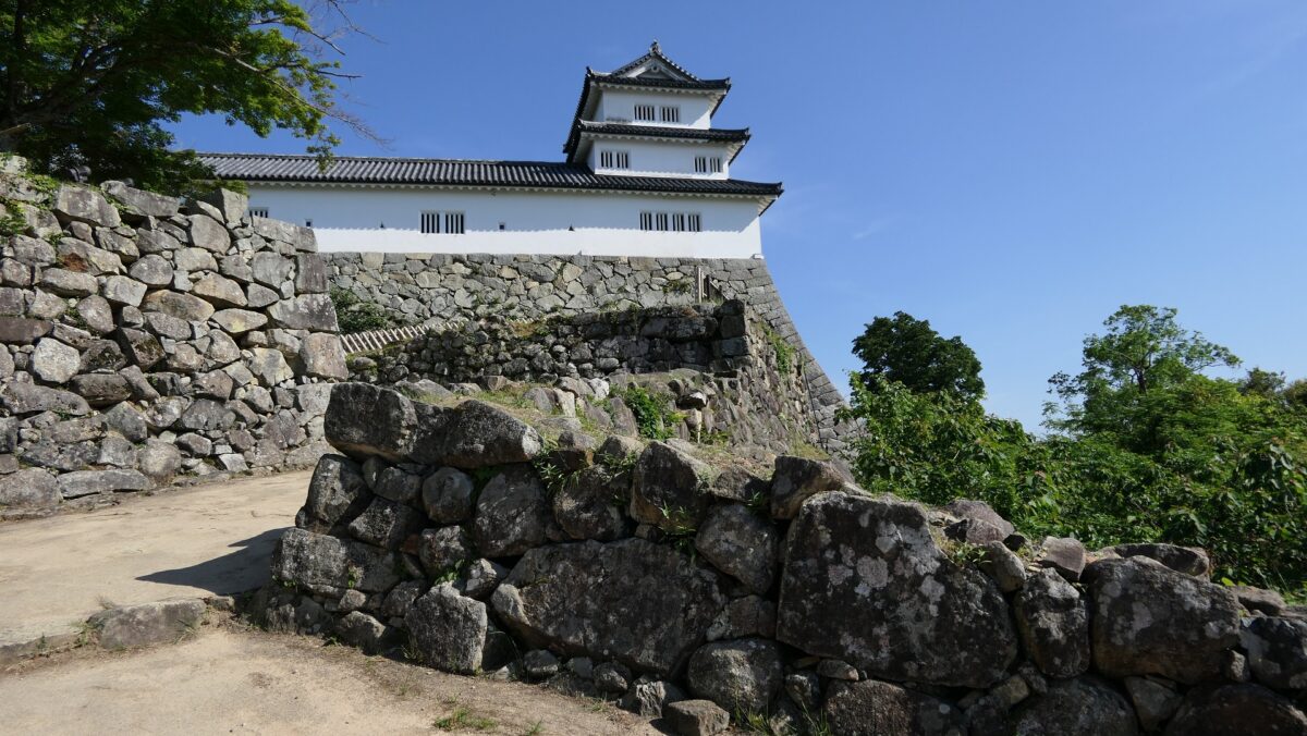
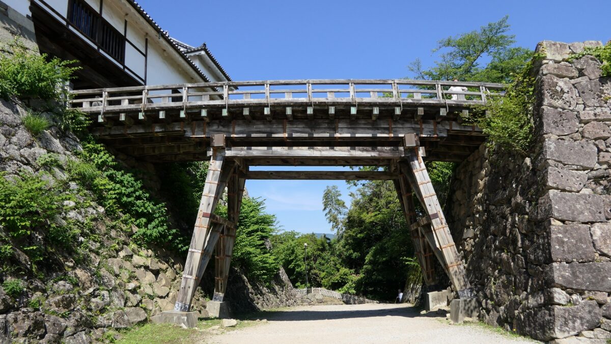
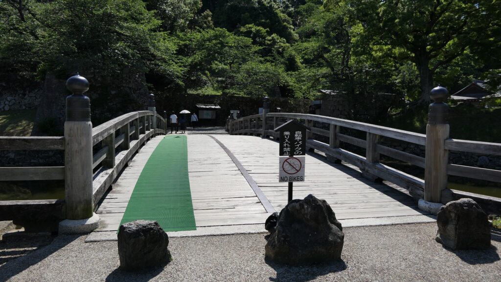
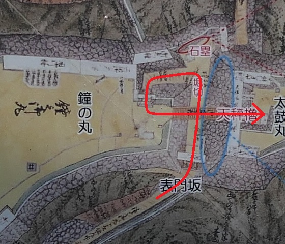
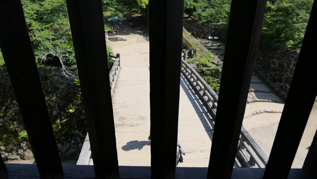
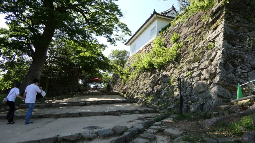
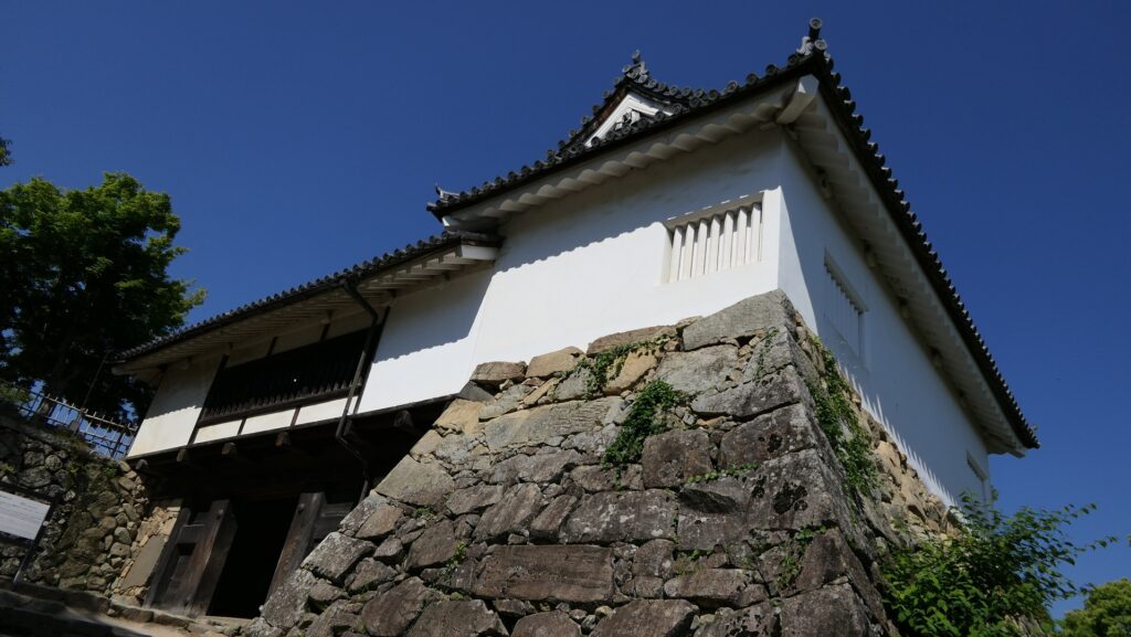
南の方から伸びる大手道は、東側の峰にある三の丸に通じています。恐らくはこの道が搦手道より急ではなかったため、この場所では多くの激戦が繰り広げられました。しかし、力攻めでは誰もここを突破できなかったのです。

城周辺の地図

大手門跡周辺
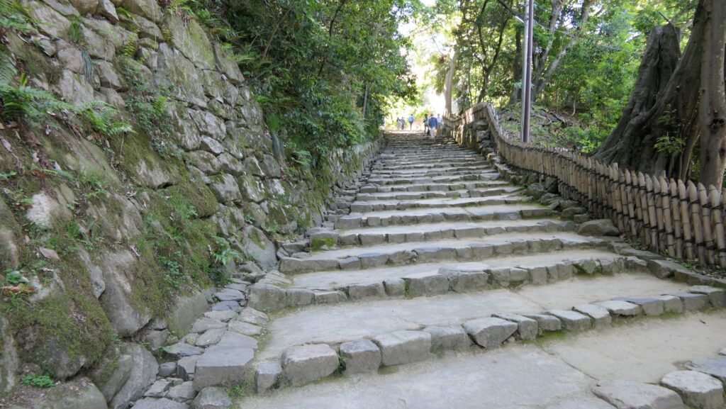
大手道
着到櫓(敵からの防御を指揮した場所)跡

その後

高天神城落城後、城はやがて廃城となりました。高天神社は、城の守護神とされていましたが、それだけが山の頂上部分に残りました。この地の人たちは、この神社を長い間敬い続けたのです。城跡に関しては、1975年に国の史跡に指定されました。1998年以来、城跡の調査が行われています。また、城跡の整備も並行して行われています。

高天神社
搦手道にある高天神社の鳥居

私の感想

高天神城は、日本の山城の中で一番のお気に入りです。その理由を挙げてみます。
1.周辺地域を治めるのに重要な地点であること。
2.城が築かれた山がそれほど高くなく、城にいる兵士が緊急時にどこにでも駆け付けられること
3.城がそれ程大きくなく、少ない兵士で城を守ることができること
4.山が全て急坂になっているか、多くの崖があり、敵方が簡単に城を攻撃できないこと
5.頂上部分からの見晴らしがよく、守備兵が周りの状況をはっきり認識できること
これに加えて、水が十分に確保できることが必要です。この城跡を訪れてみて、山城とは何かを学び、高天神城がもっともその条件に適っていると思いました。他の山城では、ここまで全ての条件が揃っている所はないのではないでしょうか。

崖の間を進む搦手道
山の上も崖地に囲まれています
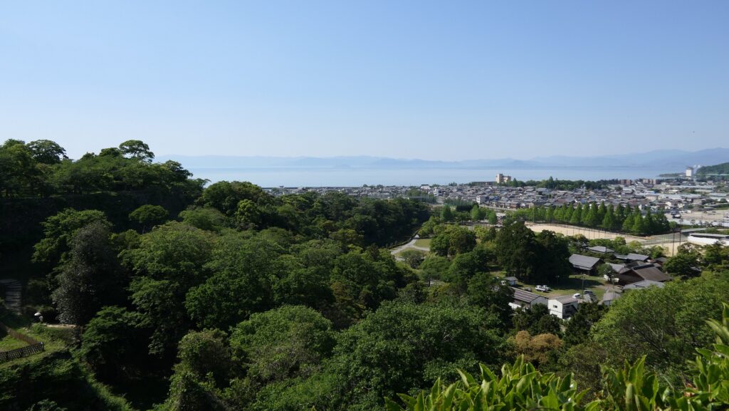
山上からの眺め
堂の尾曲輪から見た堀切
堂の尾曲輪から空堀を見下ろす

ここに行くには

車で行く場合、東名自動車道の掛川ICから約15分かかります。城跡の大手道と搦手道の手前のところに、それぞれ駐車場があります。
公共交通機関を使う場合は、掛川駅からしずてつジャストラインバス掛川大東浜松線の浜岡営業所行きか、大東支所行きに乗り、土方バス停で降りてください。バス停から歩いて約15分で現地で着きます。
東京または大阪から掛川駅まで:東海道新幹線に乗ってください。

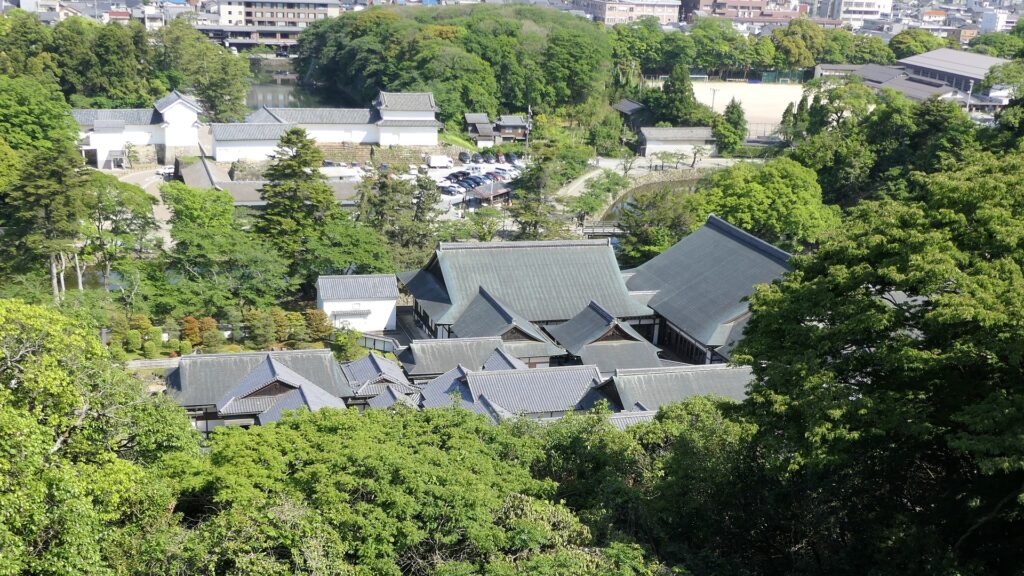
搦手口から見える城跡と駐車場
大手道に通じる城跡南入口
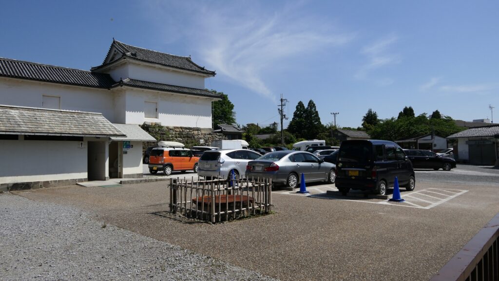
大手道手前にある駐車場

リンク、参考情報

高天神城跡、掛川市
・「戦国の山城を極める 厳選22城/加藤理文 中井均著」学研プラス
・「家康と家臣団の城/加藤理文著」角川選書
・「歴史群像104号、戦国の城 遠江高天神城」学研
・「史跡高天城跡 基本整備計画策定報告書」静岡県大東町教育委員会

これで終わります。ありがとうございました。
「高天神城その1」に戻ります。
「高天神城その2」に戻ります。

147.Takatenjin Castle Part2

The Legendary Strength of The Castle

Features

Going to Castle Ruins through steep slope

Today, you can visit the ruins of Takatenjin Castle easily if you have a car. You can park in front of either the Main Route in the south or the Back Route in the north. If you want to get a taste of how tough the castle was, I recommend walking on the Back Route. The route is flat all the way to the foot of the mountain, but it gets very steep on the slope. It goes up and zigzags through rough cliffs for a while. However, when you reach the top, you will see that it is actually flat. After seeing this, you will understand that the natural terrain was more than suitable for the mountain castle.

The map around the castle

The northern entrance of Takatenjin Castle Ruins
The Back Route
The steep slope through cliffs
the flat area on the top

Western ridge part

The spot you reached is called the Well Enclosure, which is the connecting point of the eastern and western ridges. The eastern ridge is the older part of the castle, which includes the Kane, Matoba, Main, Gozen, and Third Enclosures. These enclosures were built along natural terrain, which was partly surrounded by earthen walls and paths.

The Well Enclosure
The partly remaining earthen walls
The original path around the Main Enclosure

The Main Enclosure is at the center and it is the highest point of the castle. You can look down vertically at the steep cliffs anywhere and see a view of Fort Hinodake, one of the Six Takatenjin Forts, from the enclosure. The Third Enclosure is located at the easternmost part of the castle, having a fine view. On a clear and sunny day, you can see a great view of Mt. Fuji in the east.

The Main Enclosure
Looking down a steep slope
The ruins of Fort Hinodake
The Third Enclosure
A view of Mt. Fuji from the Third Enclosure

Eastern ridge part

The western ridge is the newer part of the castle which includes the Western, Babadaira, Second, Dono-o, and Seiro Enclosures. The Western Enclosure is the highest point of the ridge where Takaten Shrine currently stands now, so you can see a good view of the Pacific Ocean in the south. The Babadaira Enclosure is below the Western Enclosure and divided by a ditch. Over the Babadaira Enclosure, there is a narrow path. This path is often referred to as “Inumodori” which translates to “Dogs return” meaning “Dogs cannot go through because it’s too tough”.

Takaten Shrine on the Western Enclosure
A view of the Pacific Ocean from the Western Enclosure
The ditch between the Western and Babadaira Enclosures
The Babadaira Enclosure
The narrow path called “Dogs return”

The Second, Dono-o and Seiro Enclosures are in a line next to the Western Enclosure, which were fortified by the Takeda Clan. This was because other mountains are connected over the Seiro Enclosure, which could have been attacked from this direction. To prevent this from happening, Takeda built a long dry moat along these enclosures and deep ditches dividing them.

The long dry moat along the enclosures
The ditch between the Second and Dono-o Enclosures
The Seiro Enclosure

To be continued in “Takatenjin Castle Part3”
Back to “Takatenjin Castle Part1”

147.高天神城 その2

行ってみると城の精強さがわかります。

特徴、見どころ

急坂を登って城跡へ

現在、車をお持ちなら容易に高天神城跡に行ってみることができます。南側の大手道か北側の搦手道のどちらでも、その手前に駐車場があります。この城の防御力の強さを実感したければ、搦手道の方から歩いてみてはいかがでしょう。搦手道は、山の麓まではずっと平坦なのですが、坂にさしかかるとものすごく急になります。そして、しばらく荒々しい崖の間をぬって曲がりくねって登っていきます。ところが、頂上に着いたとたんまた平坦になります。これらを見てみると、この自然の地形は山城にするにはうってつけだということが理解できるでしょう。

城周辺の地図

高天神城跡北側入口
搦手道
崖の間を進む急坂
坂を登り切れば平坦

東側の峰部分

そのたどり着いた場所は井戸曲輪という所で、山の東西の峰をつないでいます。東側の峰は城の中では古い部分で、鐘曲輪、的場曲輪、本丸、御前曲輪、三の丸があります。これらの曲輪は自然の地形に沿って配置されていて、一部は土塁や通路によって囲まれています。

井戸曲輪
一部残っている土塁
城があった当時に作られた通路

本丸は、城の中心部であり、もっとも高い位置にあります。そこから下を見下ろすとどこも急崖になっています。また、高天神六砦の一つ、火ヶ峰(ひがみね)砦跡が見えます。三の丸は城では最も東寄りの場所にあります。ここからの眺めは良く、天気に恵まれれば東の方角に素晴らしい富士山の姿を望めます。

本丸
急崖を見下ろす
火ヶ峰砦跡
三の丸
三の丸から見える富士山

東側の峰部分

西側の峰は、城の中では新しい部分であり、西の丸、馬場平、二の丸、堂の尾(どうのお)曲輪、井楼(せいろう)曲輪があります。西の丸は、この峰では最高地点にあたり、現在は高天神社が建っています。そして、南の方角には太平洋がよく見えます。馬場平は、西の丸の下に位置し、堀切によって隔てられています。馬場平の向こう側には細い山道が通じています。この道は「犬戻り」と呼ばれていて、文字通り犬さえ通れなくて戻ってくるような険しい道という意味です(高天神城が落城したとき、一人だけこの道から脱出し、武田勝頼に落城したことを知らせたそうです)。

西の丸にある高天神社
西の丸から見える太平洋
西の丸と馬場平の間の堀切
馬場平
犬戻り

二の丸、堂の尾、井楼曲輪は、西の丸のとなりから一直線に並んでおり、武田氏によって強化された場所です。井楼曲輪から先が他の山につながっており、ここから敵に攻撃される恐れがあったからです。その防止のため、武田方はこれらの曲輪に沿って長い空堀を作り、それぞれを深い堀切で区切りました。

曲輪群に沿って掘られた空堀
二の丸と堂の尾曲輪の間の堀切
井楼曲輪

「高天神城その3」に続きます。
「高天神城その1」に戻ります。