153.Kitabatake Clan Hall Part2

Regarding the ruins of Kitabatake Clan Hall, visiting them starts from when you enter the Taki area. If you go on the steep Nigaki Mountain Pass to the ruins, it may give you a good understanding of how the hall was protected by this natural hazard.

How to get There

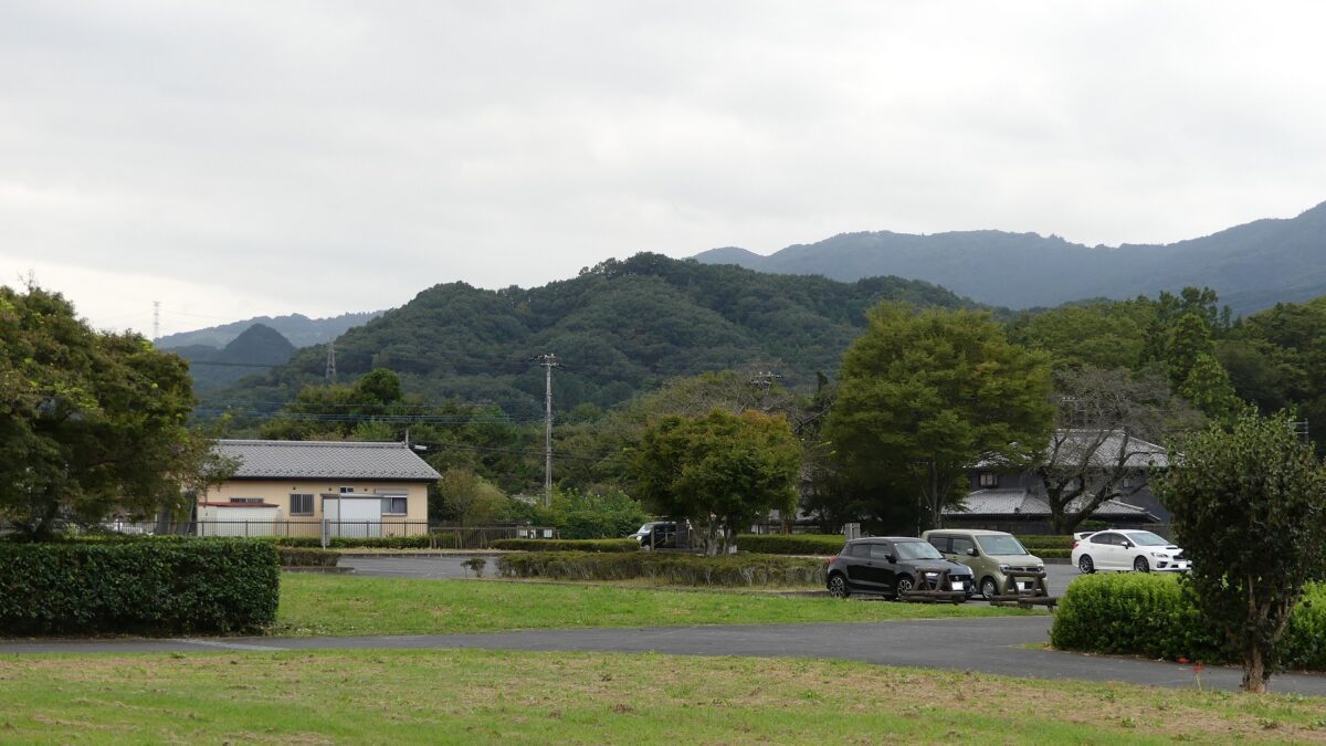
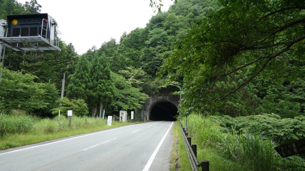
Regarding the ruins of Kitabatake Clan Hall, visiting them starts from when you enter the Taki area. The current roads to the area have been developed and paved for the convenience of transportation, but some of them are narrow and winding mountain passes. For example, if you want to visit the ruins going on National Road 368 (the former Ise Main Road) by car from the west, it is easy because the road has been developed through Kaisaka Tunnel into the mountain beside the area.

The map around the Taki area with the current 7 entrances

The Kaisaka Tunnel
The old Ise Road to the steep Kaisaka Mountain Pass goes along it

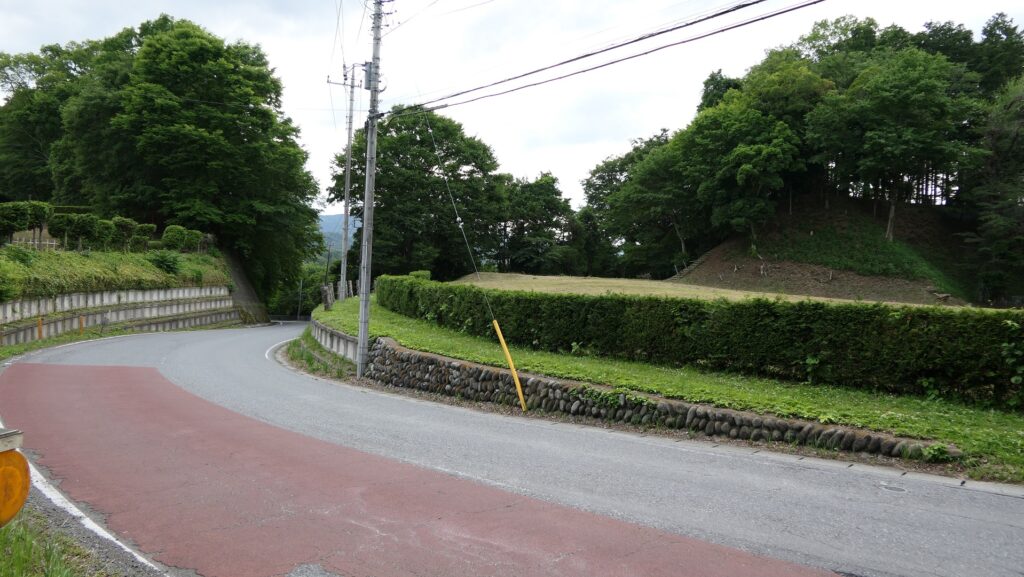
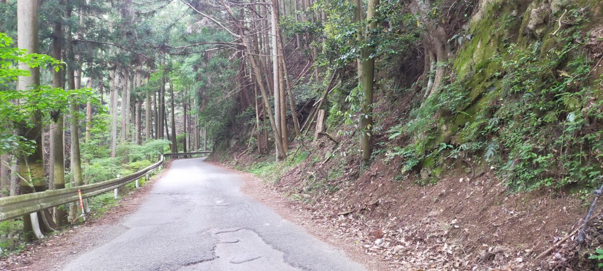
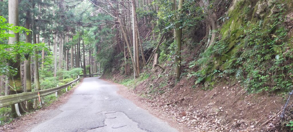
However, if you go from the east, you may find it troubling. The road still goes on the steep Nigaki Mountain Pass and becomes narrow and zigzagged. It may give you a good understanding of how the hall was protected by this natural hazard. Please be careful when passing each other. It about an hour or 40km drive away from Matsusaka IC on the Ise Expressway. The severe mountain pass area is about 5km long. If you want to go on an easier route from the IC, you can take the Mie Prefectural Road 43 from the north to the ruins.

The National Road 368 on the Nigaki Mountain Pass

If you want to use public transportation, take the Tsu City Community Bus (the Misugi-higashi or Misugi-junkan route) from Ise-Okutsu Satation and get off at the Kitabatake-jinja-mae bus stop. Be careful the buses only run on weekdays and there few of them.
From Tokyo to Ise-Okutsu Station: take the Tokaido Shinkansen super express, transfer to the Mie rapid train or the Kintetsu Railway at Nagoya Station, and transfer to the JR Meisho Line at Matsusaka Station.

Features

Hall becomes Kitabatake Shrine

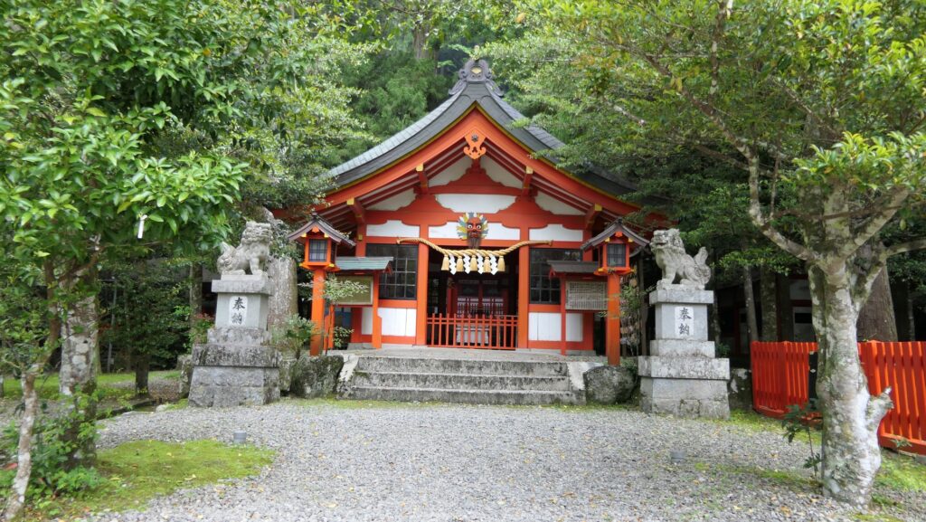
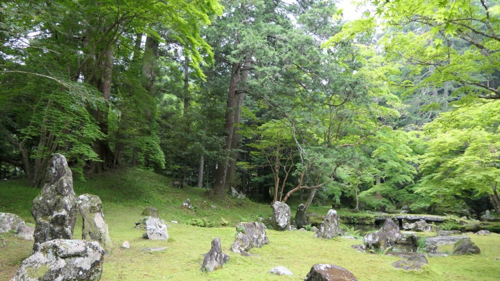
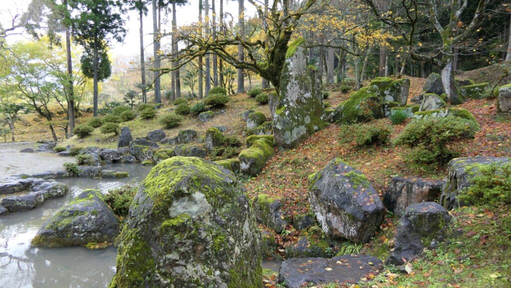
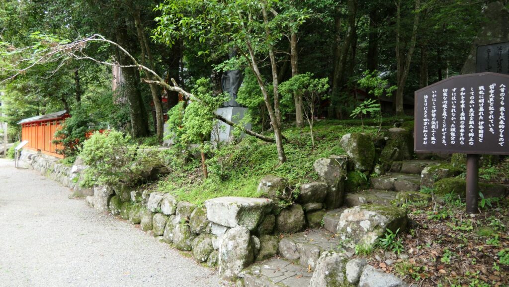
The ruins of Kitabatake Clan Hall has turned into the Kitabatake Shrine since the Edo Period. The shrine was built on where the hall had been built, so it looks like a typical shrine, not a hall or castle. The only remaining item of the hall is the Kitabatake Clan Hall Ruins Garden in the southern part of the shrine. The garden is a pond garden with a circular promenade which is said that Takakuni Hosokawa, the shogun’s deputy designed and Harutomo Hatakeyama, the seventh lord of the clan first built. It looks very beautiful and sophisticated and is considered one of the three greatest Samurai gardens and was designated as a National Place of Scenic Beauty.

The map around the hall

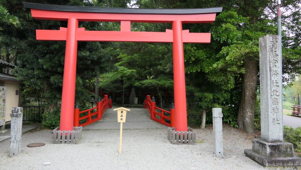
The entrance of the shrine
The front shrine hall
it doesn’t look like hall or castle ruins.
The Kitabatake Clan Hall Ruins Garden
Ichijodani Asakura Clan Garden, another greatest Samurai garden

Earliest Stone Walls used for Warriors’ Halls during Middle Ages

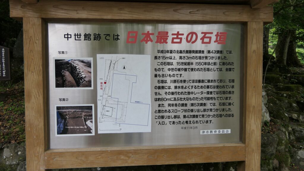
There is a signboard which shows the excavated stone walls of the original hall and says they are the earliest example of stone walls used for warriors’ halls during the Middle Ages. However, we can’t look at them directly, as they have been buried again after they were excavated. The stone walls were first built around the upper tier of the hall’s land where the Main Hall for the lord was probably built. In fact, the stone walls were buried by the Kitabatake Clan themselves to extend the tier. The Main Hall was rebuilt on the tier, which would be the final version of the hall. That means the stone walls ruins are just inside of the current shrine so that visitors usually can’t see them.

The explanation board for the stone walls
You can’t see the excavated items

Final Castle Ruins

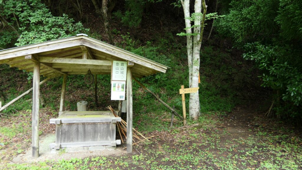
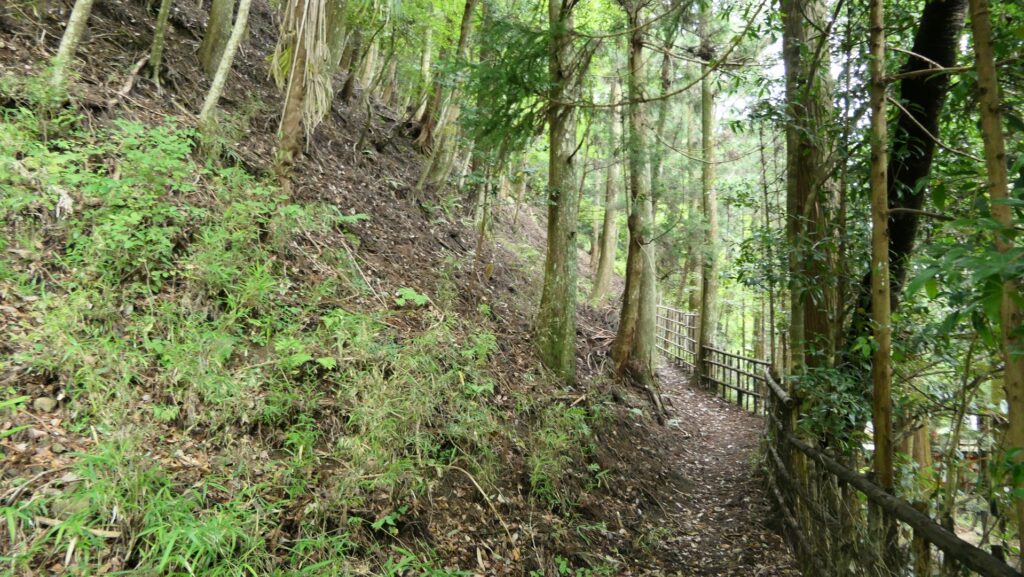
If you want to see what looks like castle ruins, you should consider visiting the final castle of the hall and/or Kiriyama Castle. They are on the same route and the final castle is not so far from the hall. Therefore, you can choose which one or both depending on your schedule. If you walk on the path south of the shrine, you will find the starting point of the route to the ruins. There is a zigzagging trail to the mountains, so you will need to hike.

The path to the starting point
The starting point

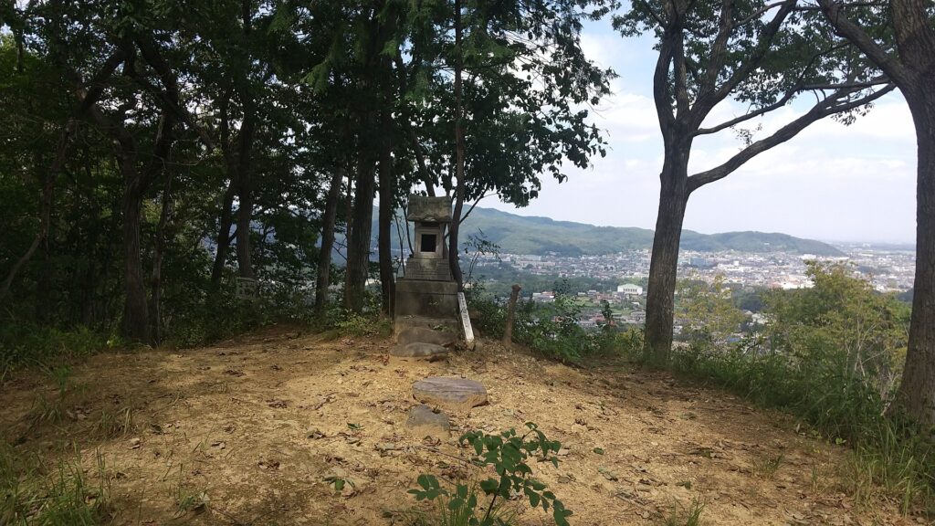
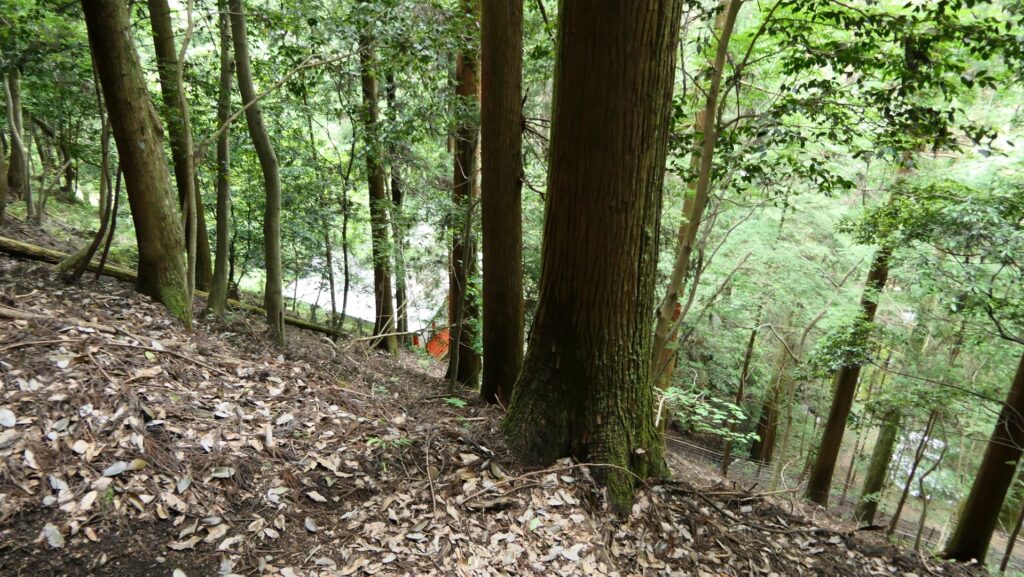
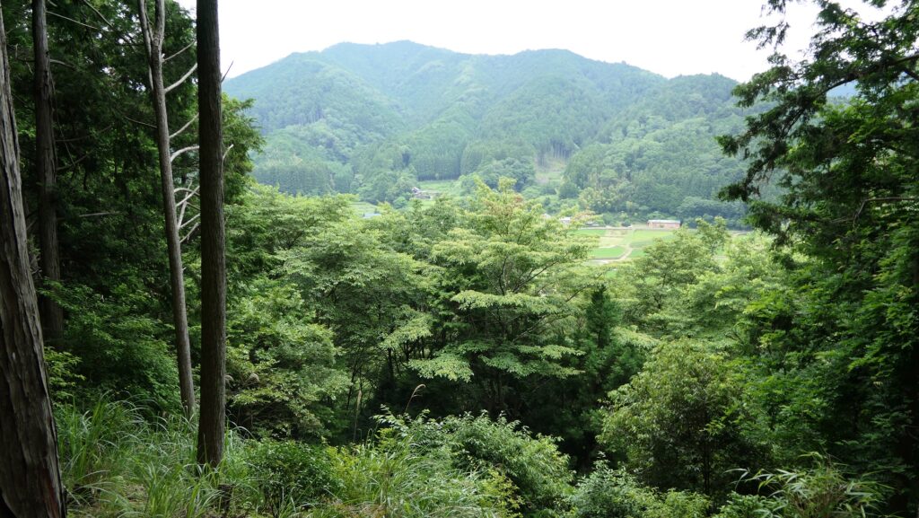
You will first reach the ruins of the final castle, on the mountain about 80m above the shrine (the former hall). The ruins simply have the main enclosure and the belt enclosure around. You can see the top of the shrine and the area around there. You will understand the place must have been the refuge shelter for the people living in the hall. The trail goes beside the belt enclosure to Kiriyama Castle Ruins ahead over the western ditch.

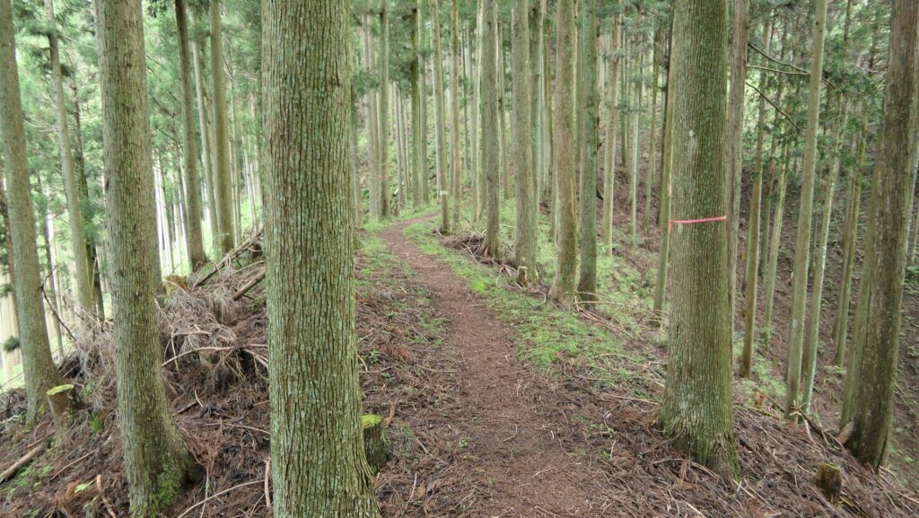
Climbing the trail
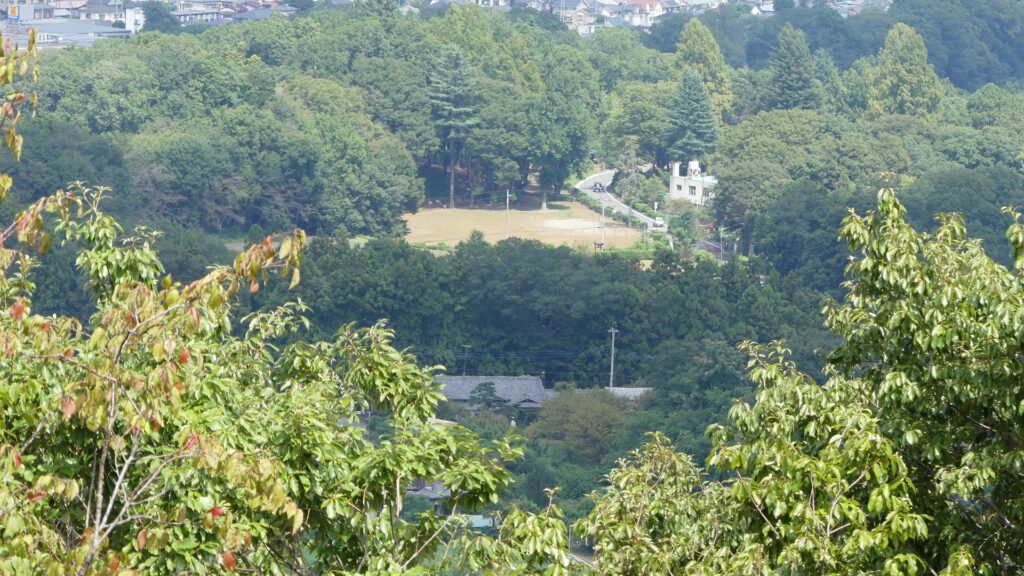
You can see the roof of the shrine below on the way
A view of the area around
The ruins of the final castle
The trail goes to Kiriyama Castle Ruins

To be continued in “Kitabatake Clan Hall Part3”
Back to “Kitabatake Clan Hall Part1”

153.北畠氏館 その2

北畠氏館跡に関しては、多気地域に足を踏み入れた瞬間から館跡への訪問が始まっていると言えます。今でも険しい仁柿峠を通れば、自然の障壁によって館がいかに守られていたか理解できるでしょう。

ここに行くには

北畠氏館跡に関しては、多気地域に足を踏み入れた瞬間から館跡への訪問が始まっていると言えます。多気への現在の道路は交通の便のために整備され、舗装されてはいます。しかし、その中には今でも狭かったり、峠を曲がりくねりながら通っているものもあります。例えば、国道368号線(以前の伊勢本街道)を車で通って館跡に行こうとする場合、西から入るときは簡単です。多気地域に接する山に飼坂トンネルが通っているからです。

多気地域の地図、現代の7箇所の出入口を示しています

飼坂トンネル
険しい飼坂峠への道(伊勢本街道)も並行しています

ところが東から入ろうとすると、困難に感じるかもしれません。道は今でも険しい仁柿(にがき)峠を通っていて、狭くジグザグになっているからです。この自然の障壁によって館がいかに守られていたか理解することにもなるでしょう。すれ違いのときには気を付けてください。伊勢自動車道の松坂ICから約1時間、距離にして40kmほどの道のりになります。そのうち、険しい峠の部分は約5kmです(この部分は「酷道」と言われています)。松坂ICからもっと容易な道を通って行きたい場合は、北の方から三重県道43号線を通るという手段もあります。

仁柿峠を通る「酷道」368号線

公共交通機関を使う場合は、伊勢奥津駅から津市コミュニティバス(美杉東線か美杉循環線)に乗って、北畠神社前バス停で降りてください。このバスは平日のみの運航で、本数も少ないので注意してください。
東京から伊勢奥津駅まで:東海道新幹線に乗って、名古屋駅で快速みえ(JR)か近鉄線に乗り換え、松坂駅でJR名松線に乗り換えてください。

特徴、見どころ

館跡はそのまま北畠神社に

北畠氏館跡は、江戸時代から北畠神社となっています。この神社は館があったその場所に建てられているので、見た目は神社そのものであり、館や城のようには見えません。ただし神社の南側には、館関連で唯一残っている北畠氏館跡庭園があります。この庭園は回遊式の池泉庭園で、幕府の管領であった細川高国が設計し、7代目の北畠氏当主が造園したと言われています。とても美しく、洗練されていて、日本三大武将庭園の一つとされています。国の名勝にも指定されています。

館周辺の地図

神社入口
神社の拝殿
城跡、館跡という感じではありません
北畠氏館跡庭園
三大武将庭園の一つ、一乗谷朝倉氏庭園(諏訪館跡庭園)

武士の城館のものとしては最古の石垣

神社内の説明板には、オリジナルの館の石垣が発掘されたことと、中世の(武士の)館や城で使われたものとしては日本最古であると記載されています。しかしその石垣を直接見学することはできません。発掘された後埋め戻されてしまったと思われるからです。この石垣は最初は館の敷地の最上段を囲んで築かれ、恐らくはその上に領主の御殿がありました。そして実は、北畠氏自身がその上段部分を拡張するため、石垣を埋めてしまっていたのです。御殿は新しく出来た上段に再建され、それが館の最終形となりました。つまり、石垣の遺構は現在の神社の内部にあるため、ビジターは通常見ることはできないということになったのでしょう。

石垣についての説明板
発掘されたものを見ることはできません

詰めの城跡

もし城跡らしいものをご覧になりたいのでしたら、詰めの城、霧山城の両方かどちらかに行ってみてはいかがでしょうか。両方とも同じルート上にあって、しかも詰めの城の方は館からそんなに遠くありません。片方だけにするか両方にするかはご都合次第でいいと思います。神社の南にある小道を通って行くと、城跡への登山口が見えてきます。曲がりくねった山道になりますので、山歩き用の準備は必要です。

登山口に向かう小道
登山口

まず最初に、詰めの城の跡地に到着します。ここは神社(以前館だった所)から約80m高い位置にあります。この城跡はシンプルで、主郭部とその周りの腰曲輪から構成されています。来る途中では神社の屋根が見えたり、城跡からは周辺地域を見渡すことができます。この場所は館に住んでいた人たちが何かあったときに避難する場所だったのだろうと理解できます。山道は腰曲輪沿いに進み、西側の堀切を越えて霧山城跡の方に向かいます。

山道を登っていきます
途中で神社の屋根が見えます
周辺の景色
詰めの城跡
霧山城跡に向かう山道

「北畠氏館その3」に続きます。
「北畠氏館その1」に戻ります。

111.Mukai-Haguroyama Castle Patr3

The trail to the Main Enclosure turns left or right, and then, a horizontal moat goes along it on the left. The other right side are vertical cliffs. That means the enemies were able to attack the enclosure only on this trail and the defenders would be able to focus on the spot.

Features

Main Enclosure is protected by Moats and Cliffs

Going back to the forest road, you can also climb to the Main Enclosure on the top of Iwasaki Mountain. If you walk straight up on the trail, you will see a huge scale of vertical moat designed to avoid enemies from moving freely parallel to the right.

The map around the castle

The trail to the Main Enclosure
The trail on the left and the vertical moat on the right
The vertical moat beside the trail

The trail turns left or right, and then, a horizontal moat goes along it on the left. The other right side are vertical cliffs. That means the enemies were able to attack the enclosure only on this trail and the defenders would be able to focus on the spot.

The layout of the Main Enclosure, the white part is the trail, the yellow part shows enclosures or bottoms of the moats, and the orange part is cliffs, exhibited by the Mukai-Haguro Gallery
The trail goes up while curving
The horizontal moat left of the trail
The vertical cliffs right of the trail

Final place of Final Castle

The trail goes in a zigzagged pattern and reaches the Main Enclosure. It is also protected by other alternating gate, earthen walls and dry moats like the Second Enclosure, but smaller and had steeper terrain, so it can be seen as the final place of the final castle.

The zigzagged trail
The entrance ruins of the Main Enclosure
The Main Enclosure is surrounded by dry moats and earthen walls as well
Going to the top
The top of the Main Enclosure
A view from the enclosure

Later History

The mountain, where Mukai-Haguroyama Castle was built, was first designated as a natural park in 1953 and the forest road was developed on the mountain in 1964. As for the castle ruins, they were first designated as a historic site of Hongo Town (at that time) in 1974. The excavations of the ruins have been done since 1982. As a result, they were finally designated as a National Historic Site in 2001.

There is a huge rock on the Main Enclosure, which was partially cut to provide stone materials

My Impression

I visited the ruins of Mukai-Haguroyama Castle twice. During my first visit, I just found the castle ruins simply becoming the natural park. However, in my second visit, I was advised at the Mukai-Haguro Gallery in advance, so that I was able to see the major spots of the castle easily. In my experiences, I would like Aizu-Misato Town, the current owner of the ruins to install a streamline path for walking from the foot to the top which would make visitors better understand what the castle looked like.

there are many paths in the Third Enclosure, like a maze

How to get There

If you want to visit there by car, it is about a 15-minute drive away from Nitsuru smart IC or a 20-minute drive away from Aizuwakamatsu IC on the Banetsu Expressway. There are several parking lots for each spot of the ruins.
By public transportation, it takes about 20 minutes on foot to get the northern entrance of the park from JR Aizu-Hongo Station.
From Tokyo to the station: take the Tohoku Shinkansen super express, transfer to the Banetsu-sai Line at Koriyama Station, and transfer to the Tadami Line at Aizuwakamatsu Station.

The parking lot beside the Second Enclosure

That’s all. Thank you.
Back to “Mukai-Haguroyama Part1”
Back to “Mukai-Haguroyama Part2”