イントロダクション
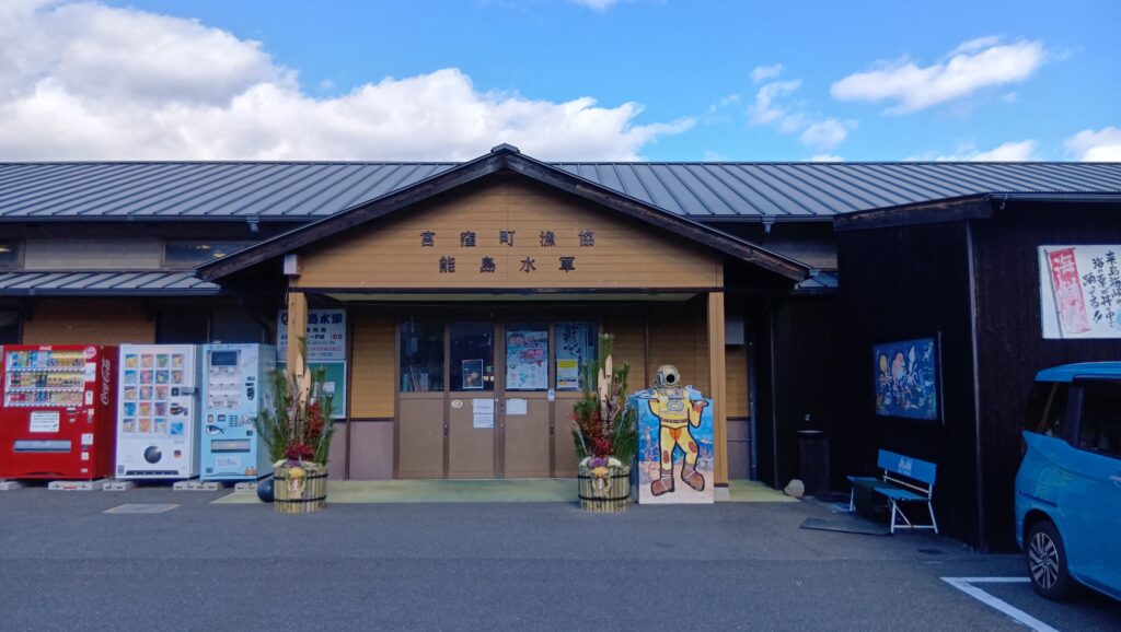
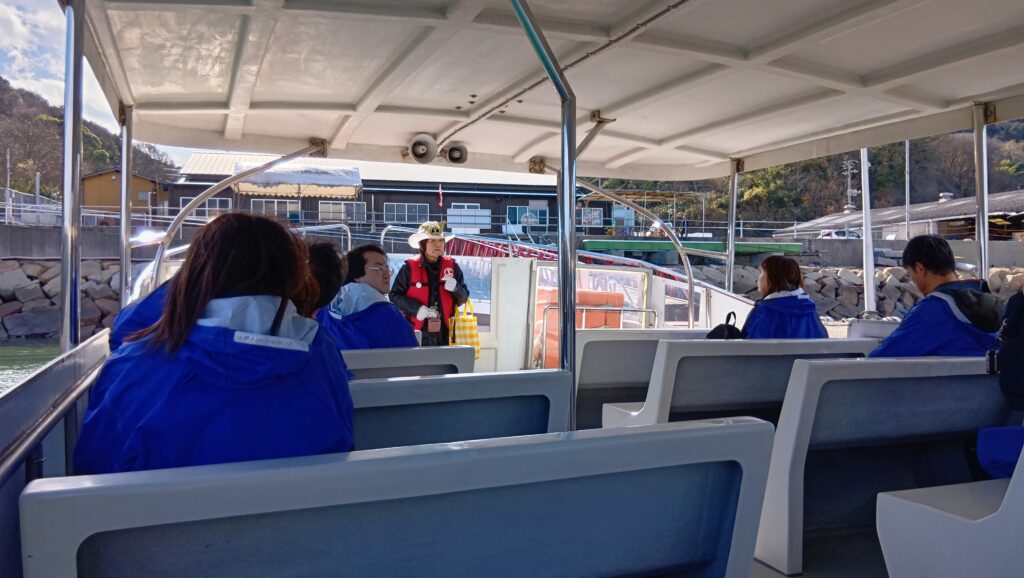
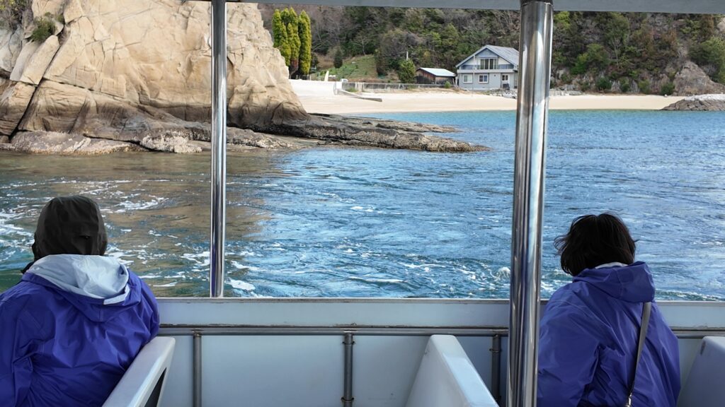
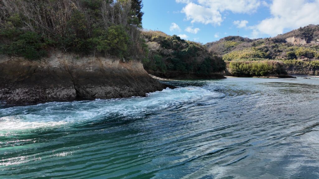
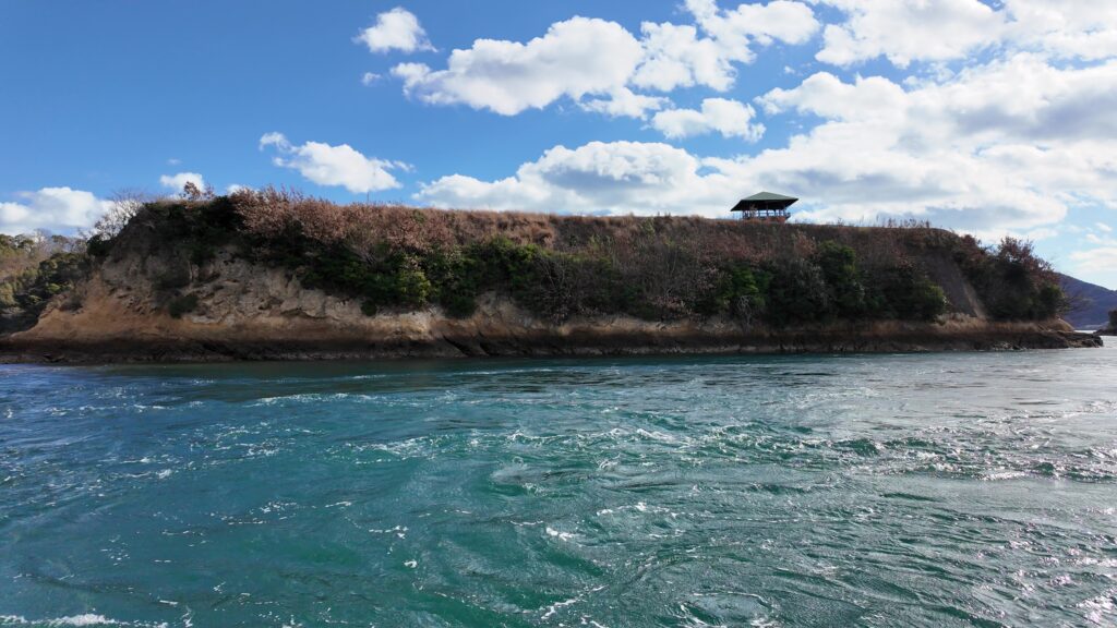
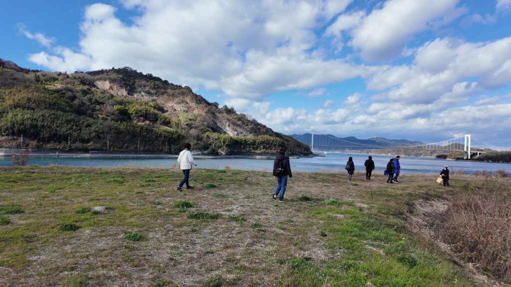
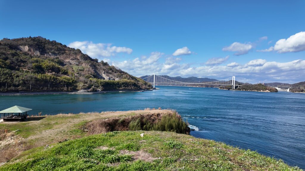
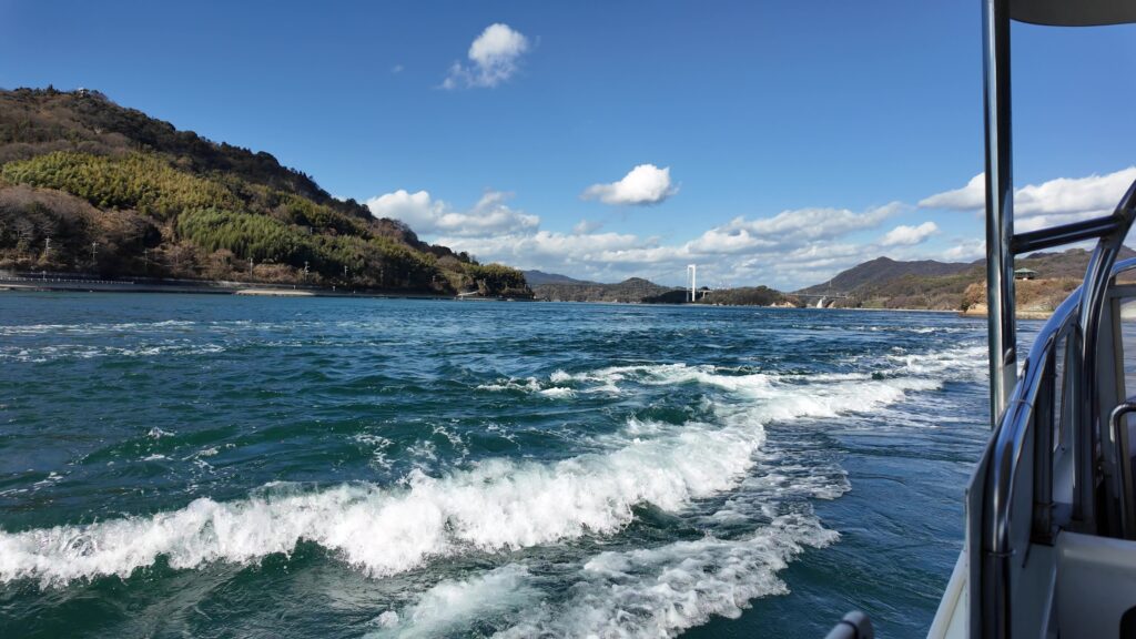
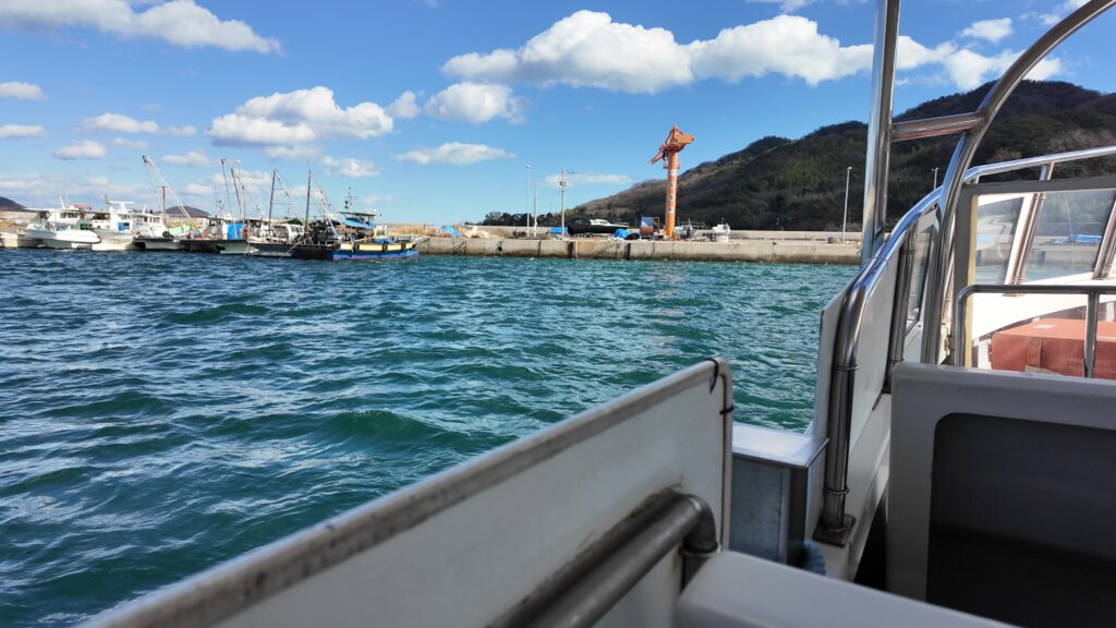
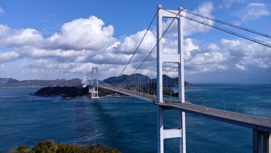
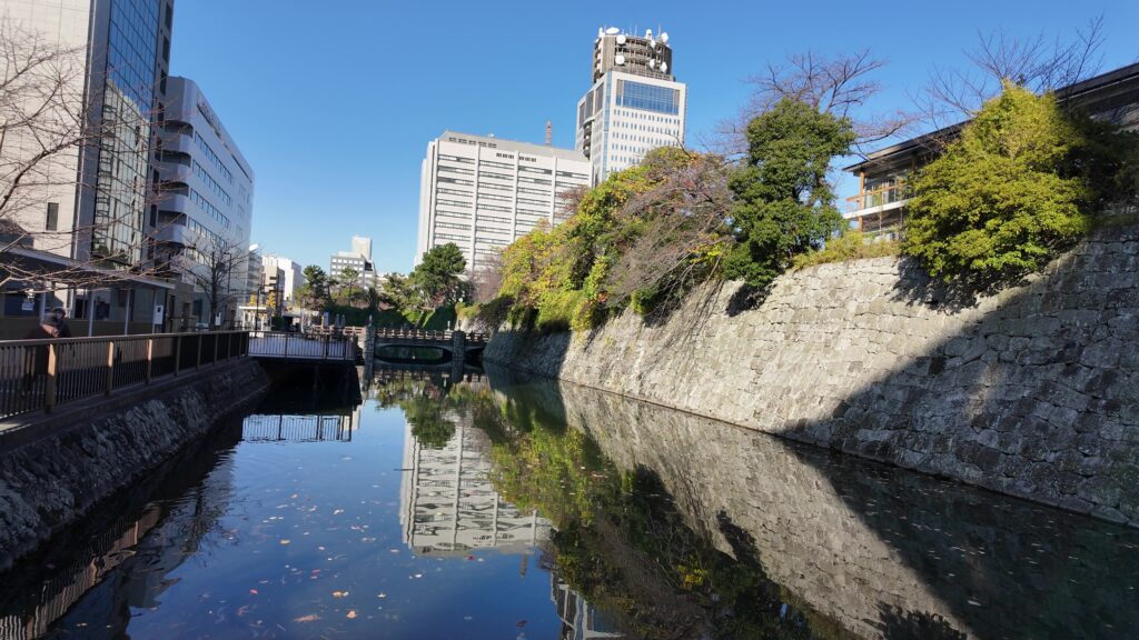
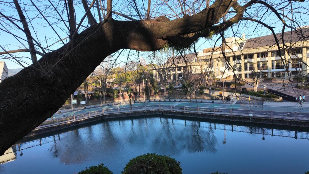
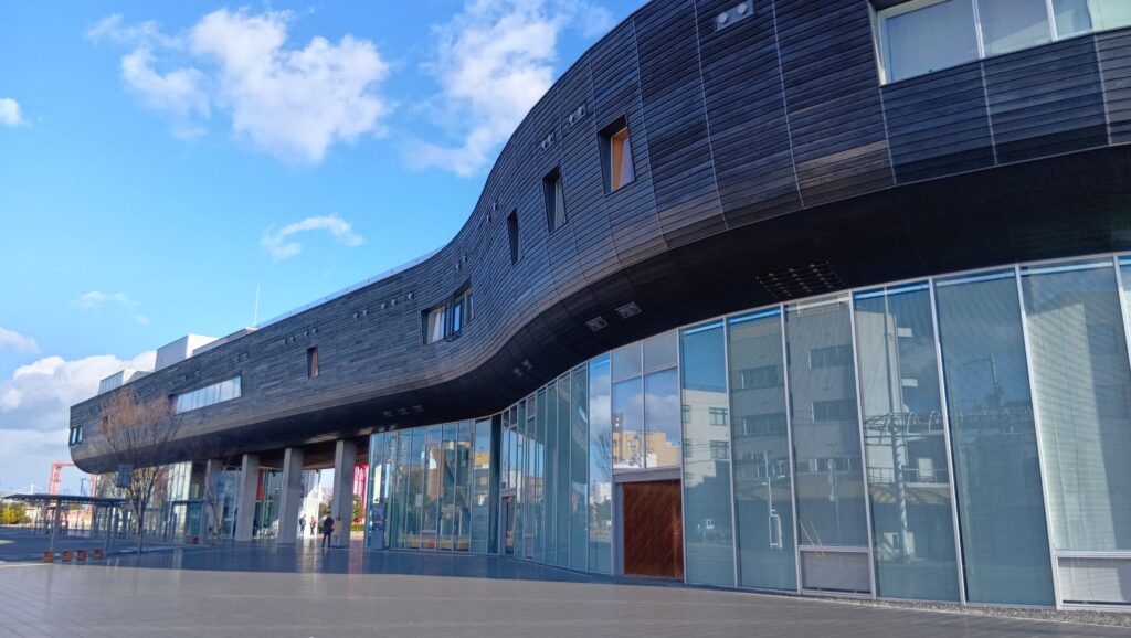
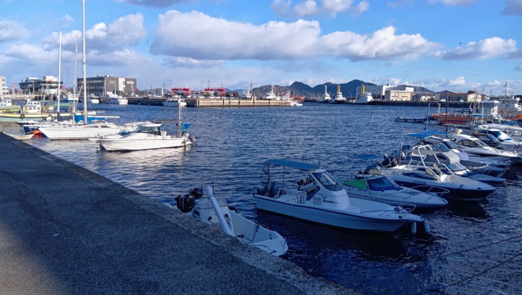
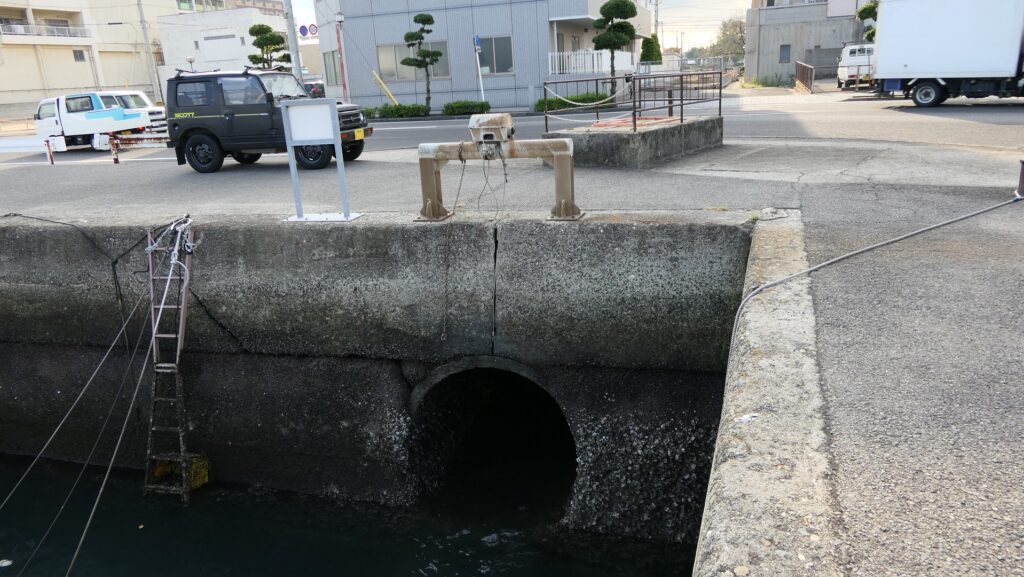
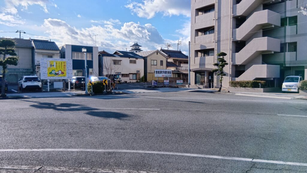
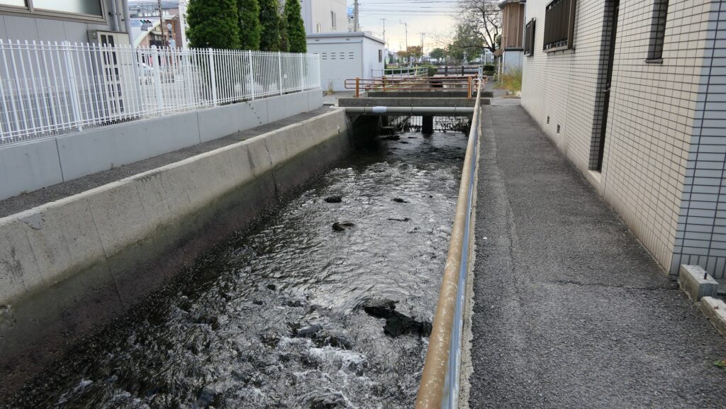
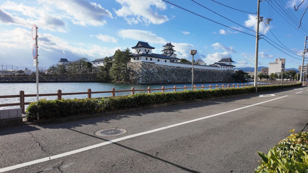
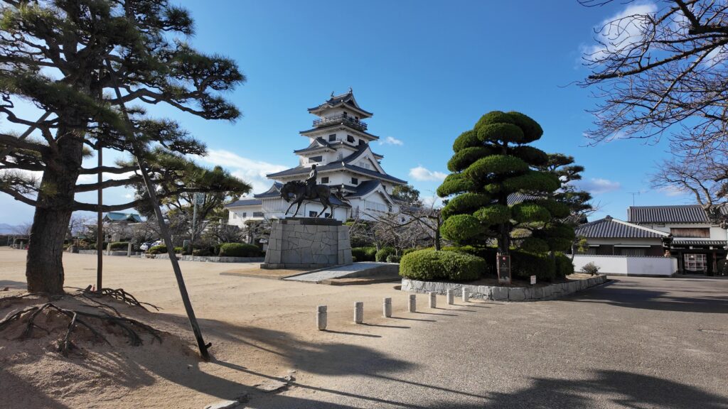
今治港に来ています。港湾都市らしく、立派な建物があります。海城を感じてみたいので、最初に来てみました。船がいるところに移動すると、ヨットなどが並んでいます。実は、ここはもう今治城内だったのです。中堀の船入だったところが、港の一部になっているのです。さすが今治です。しかも、残っている内堀は、こちらから取水しているのです。ここをカギ型で曲がる道路も、城の名残りのような感じです。天守も見えます。
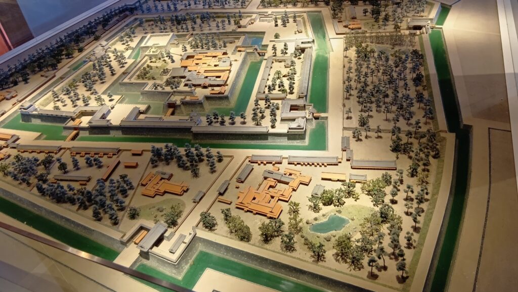
今回は、港をスタート地点にして、今治城に入城しましょう。そうすれば、海城らしさを感じられると思います。城の中心部分は、現在の天守がメインになりますが、当時の痕跡も探してみましょう。その後が、高虎築城術の神髄で、再建された櫓群を巡ってみます。最後は、内堀の外側を歩いてみます。今残っている範囲で、高虎築城術を感じられそうです。
今回の内容を趣向を変えて、Youtube にも投稿しています。よろしかったらご覧ください。
特徴・見どころ(海城と高虎築城術を感じるツアー)
海城を感じつつ入城
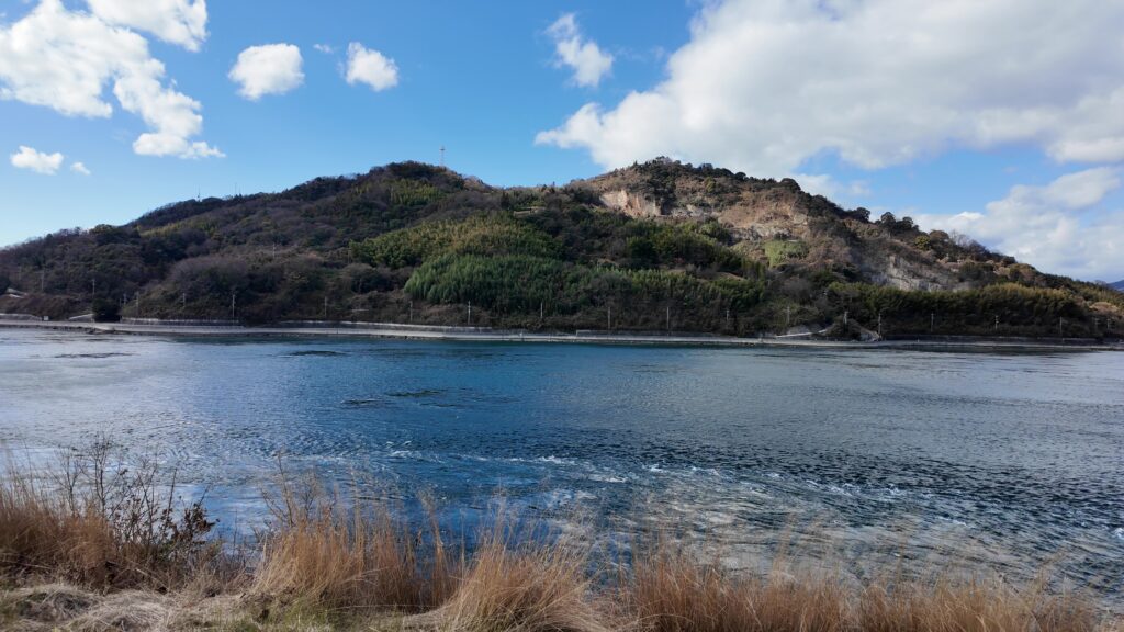
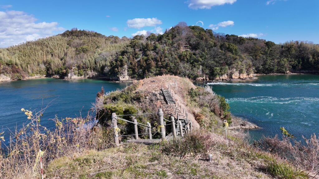
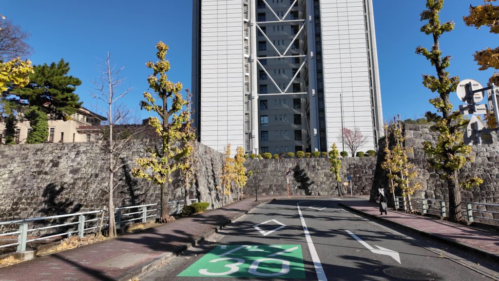
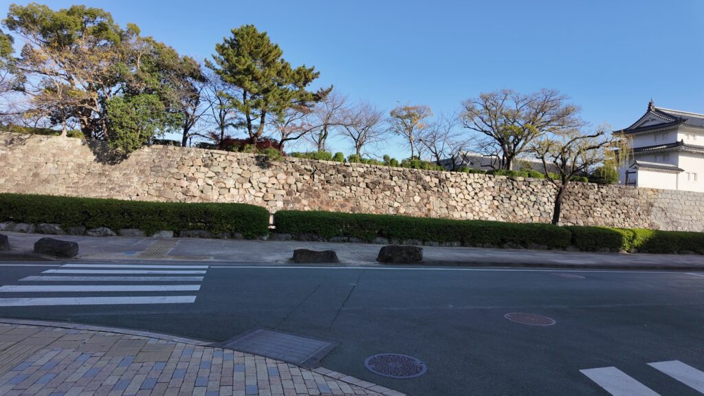
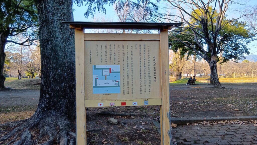
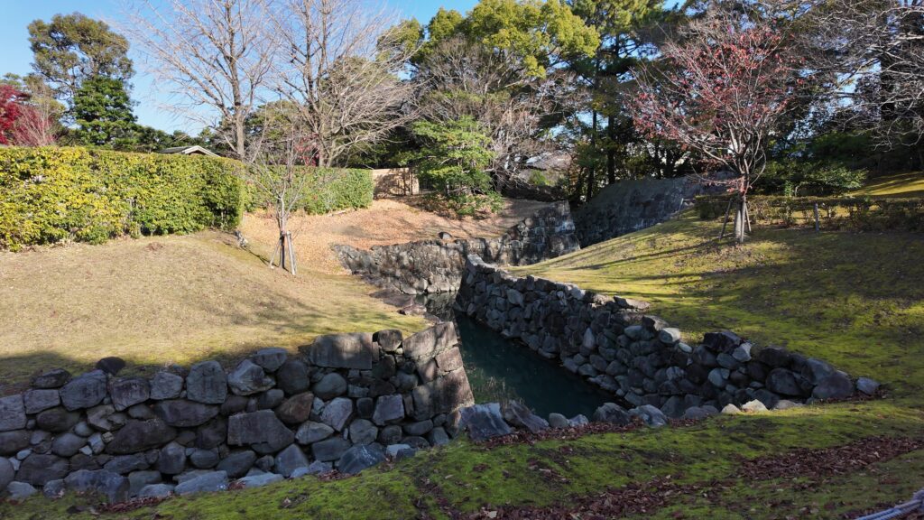
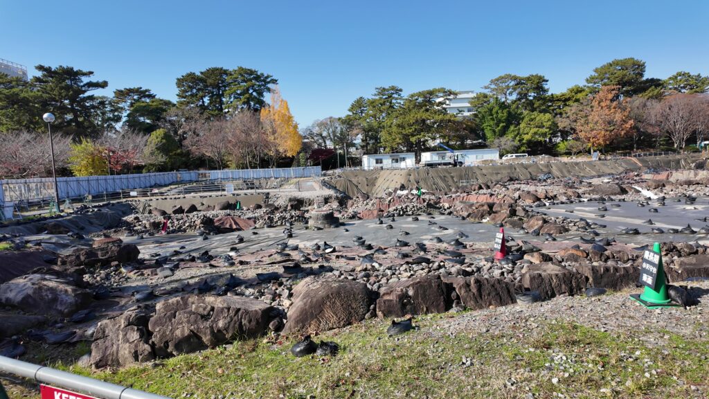
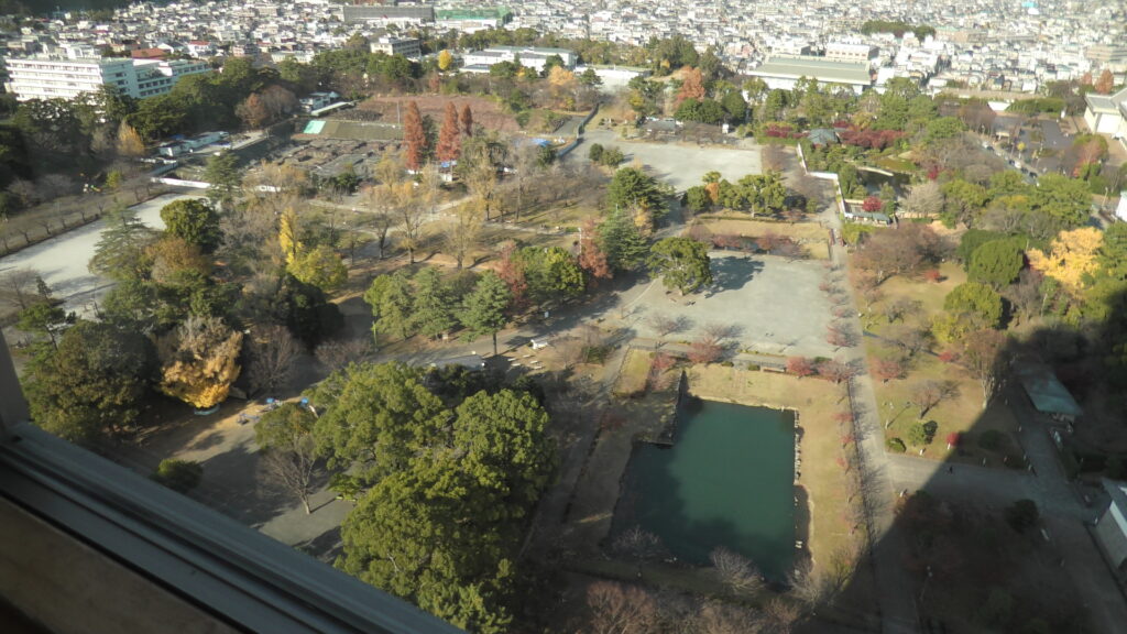
城周辺の航空写真まず、道路を気を付けて渡ってから、内堀への水路を追ってみましょう。
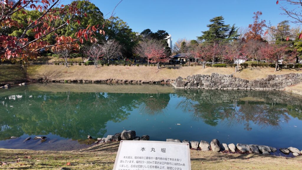
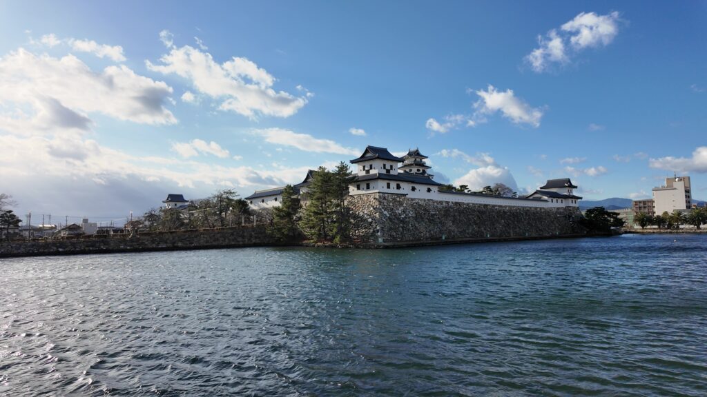
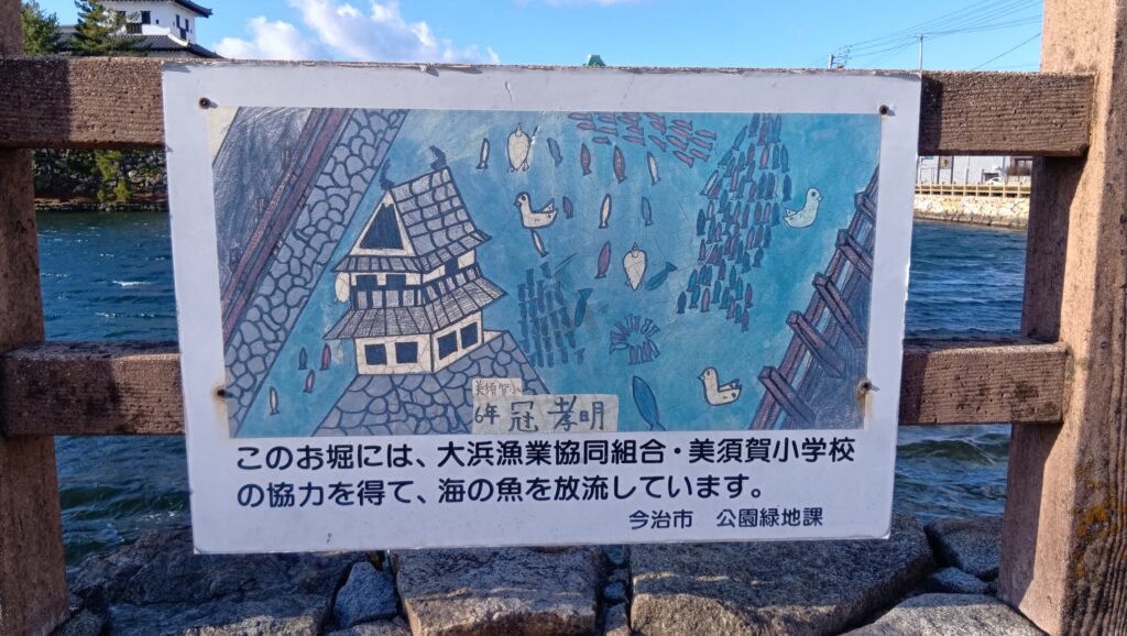
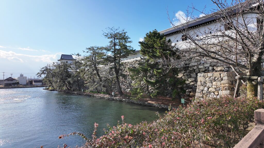
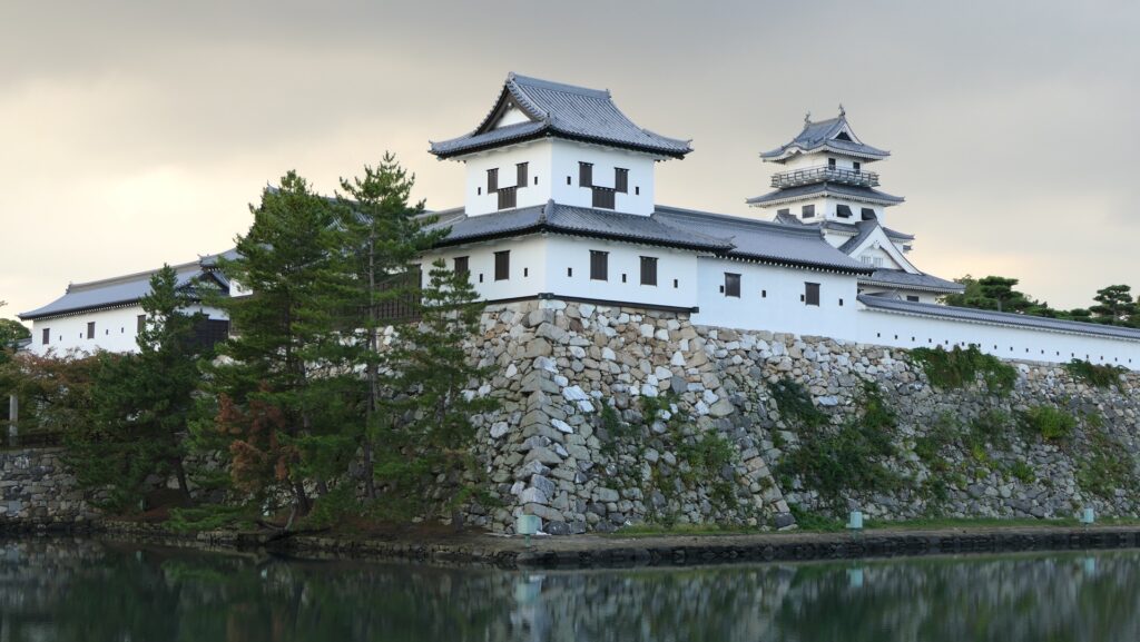
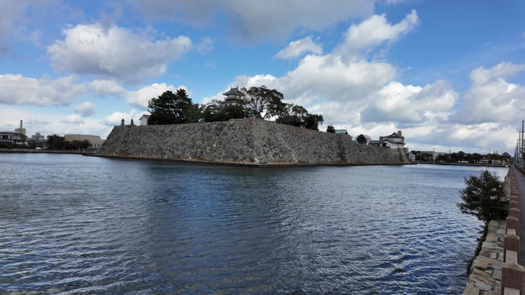
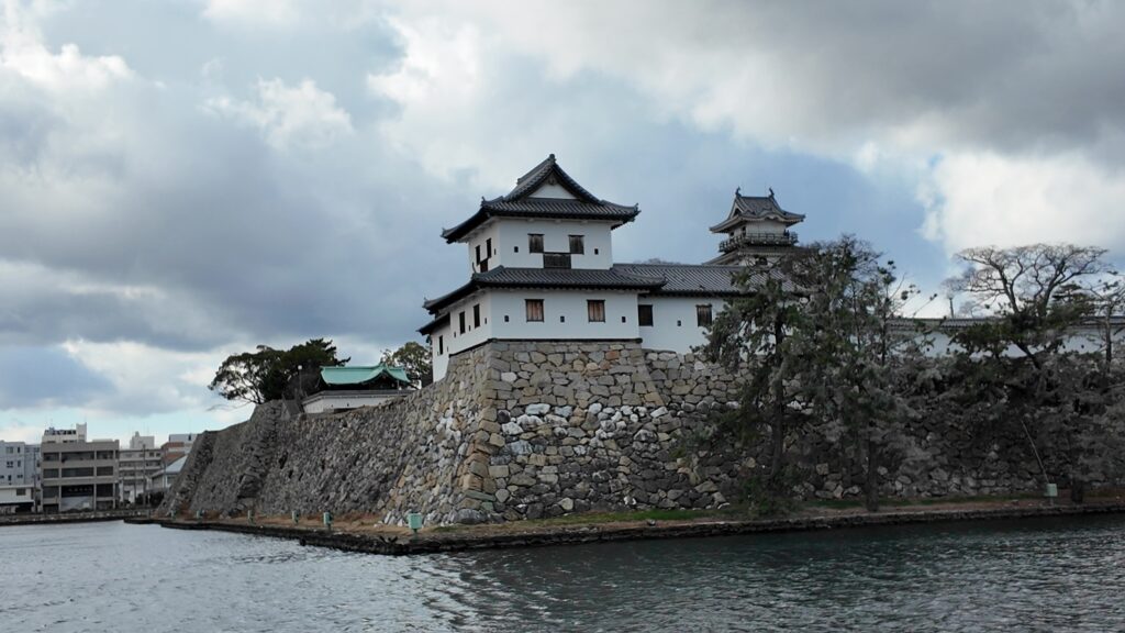
今治城に出ました。やはり、広い堀に城の姿が映えています。内堀には、魚も放流されているそうです。
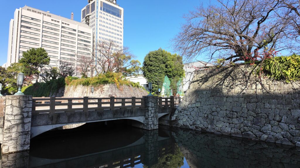
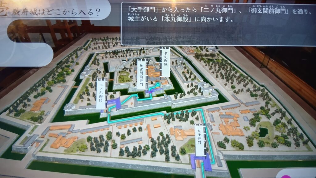
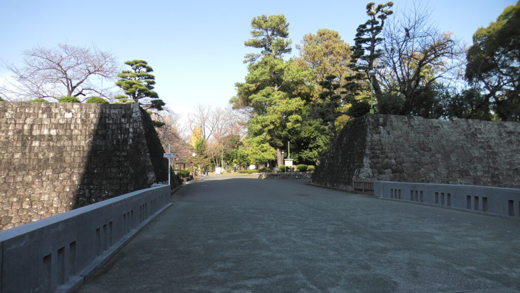
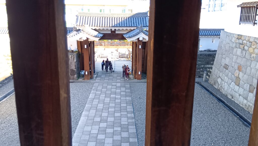
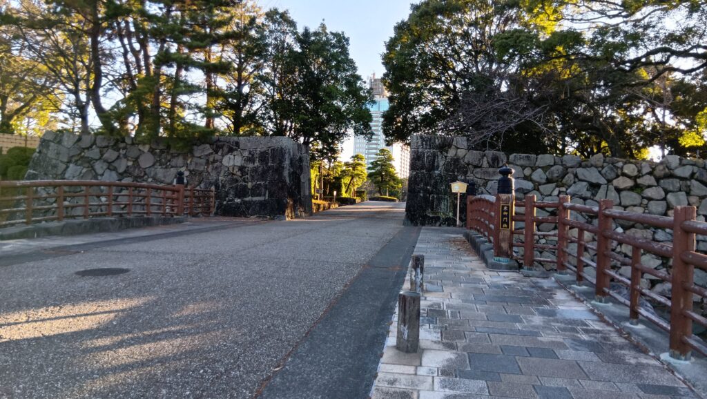
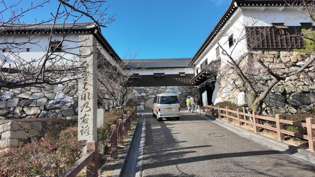
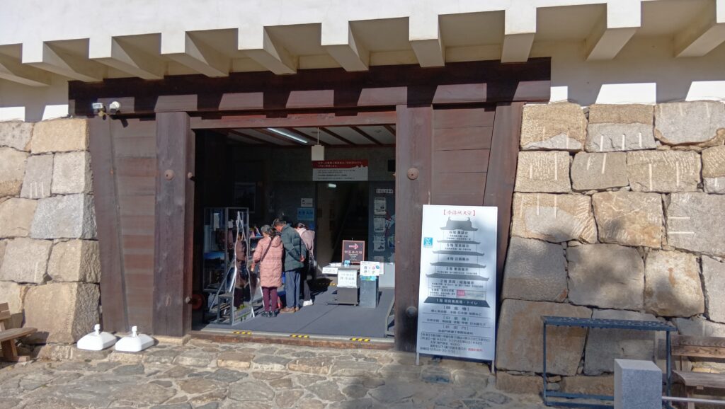
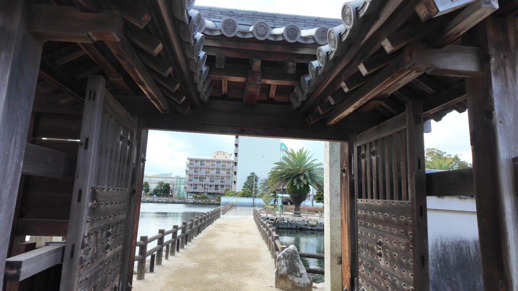
それでは城の入口に向かいましょう。ずいぶん長い橋を渡ります。内堀を渡る土橋です。その手前の場所は、その土橋に接続された馬出しでした。その馬出しには、両側に枡形が備えられていました。今は何気ない城の入口が、そんな厳重な場所だったなんて、信じられません。
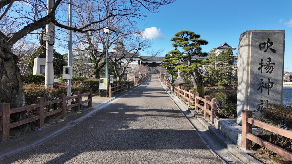
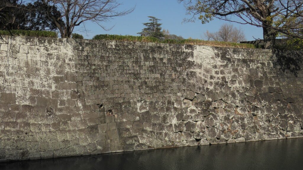
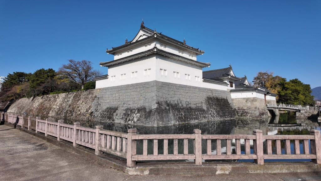
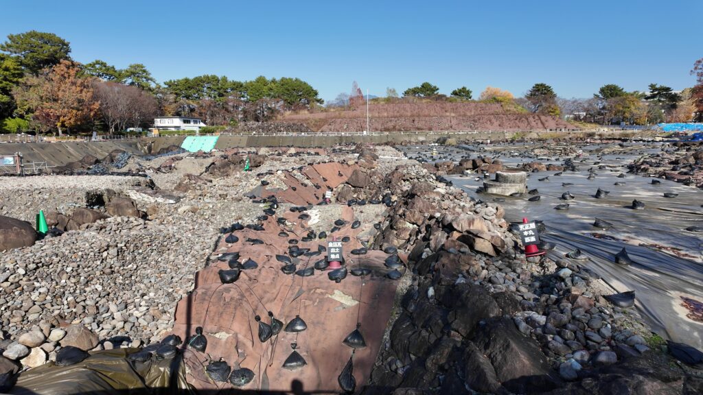
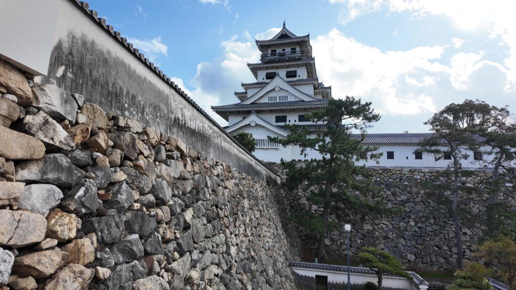
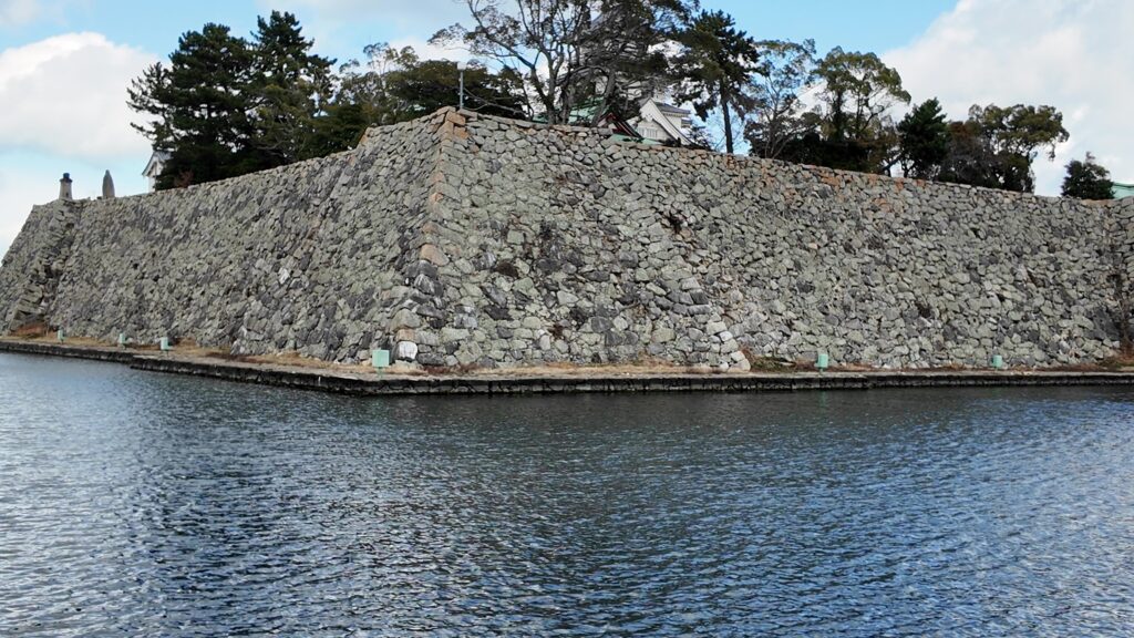
土橋を渡りましょう。渡っている間には、内堀と石垣を支える犬走りが見えます。
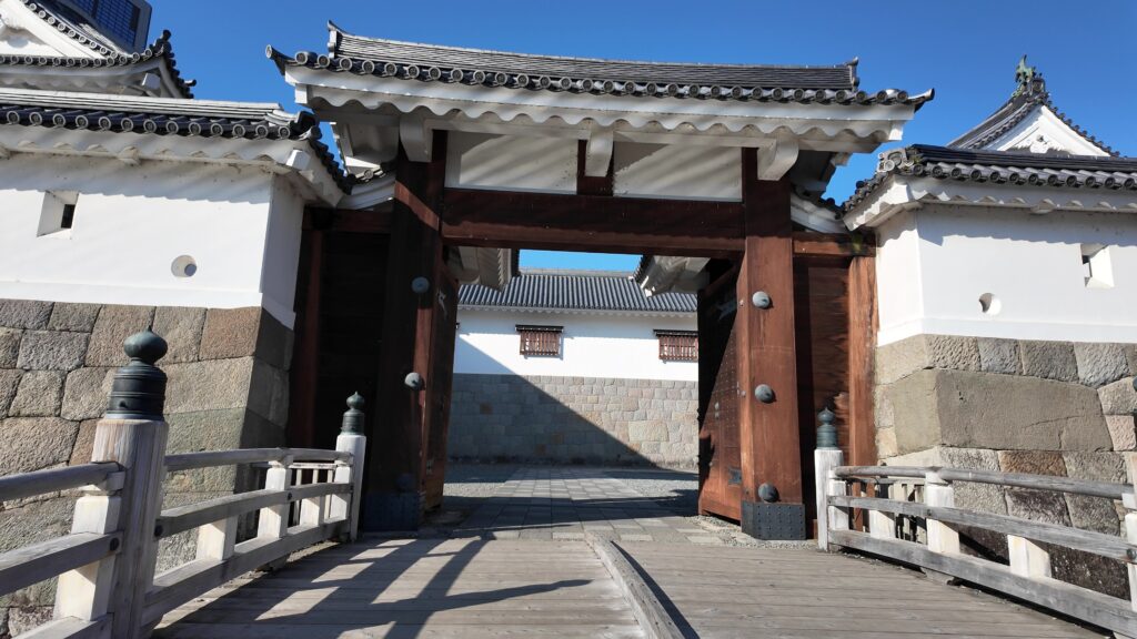
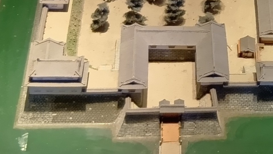
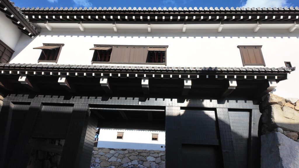
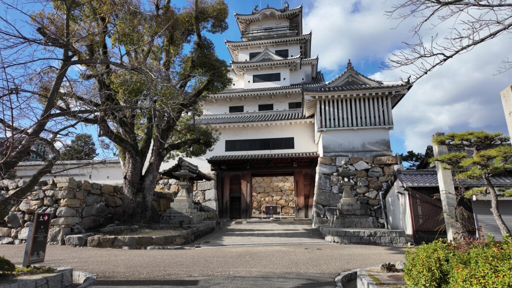
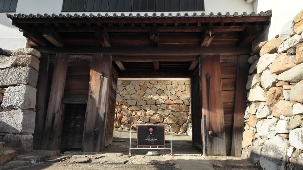
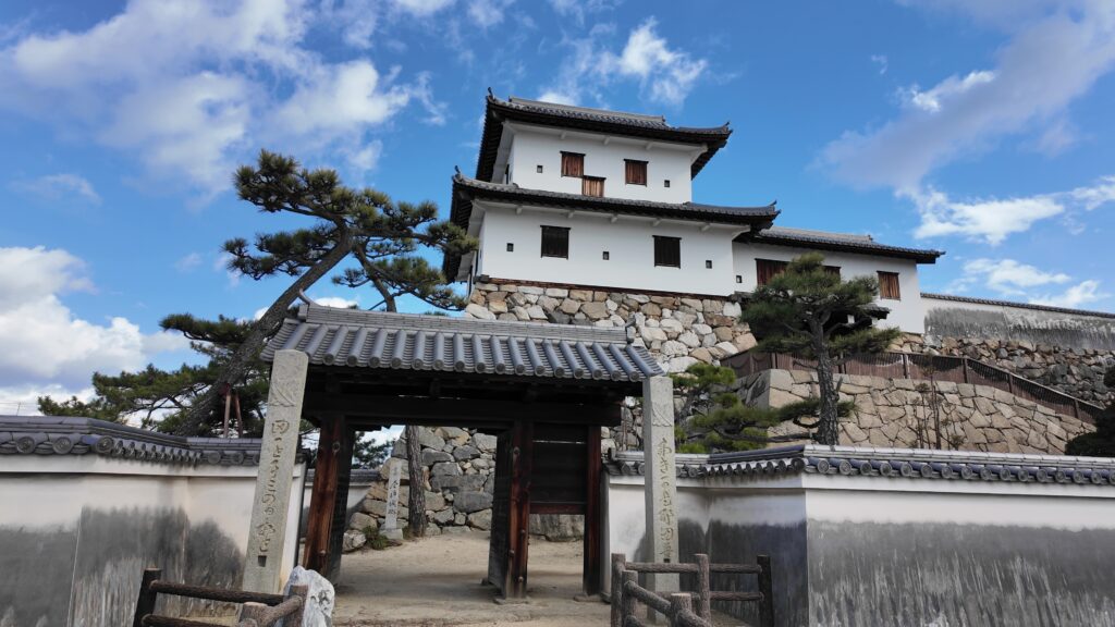
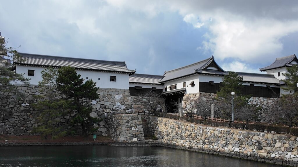
復元された鉄御門(くろがねごもん)の枡形に入っていきます。枡形なので、手前に高麗門もあったのですが、ここは車も通りますので、そこまで復元しなかったのかもしれません。
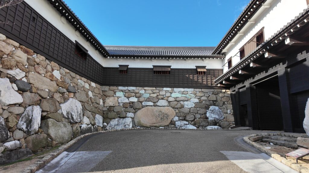
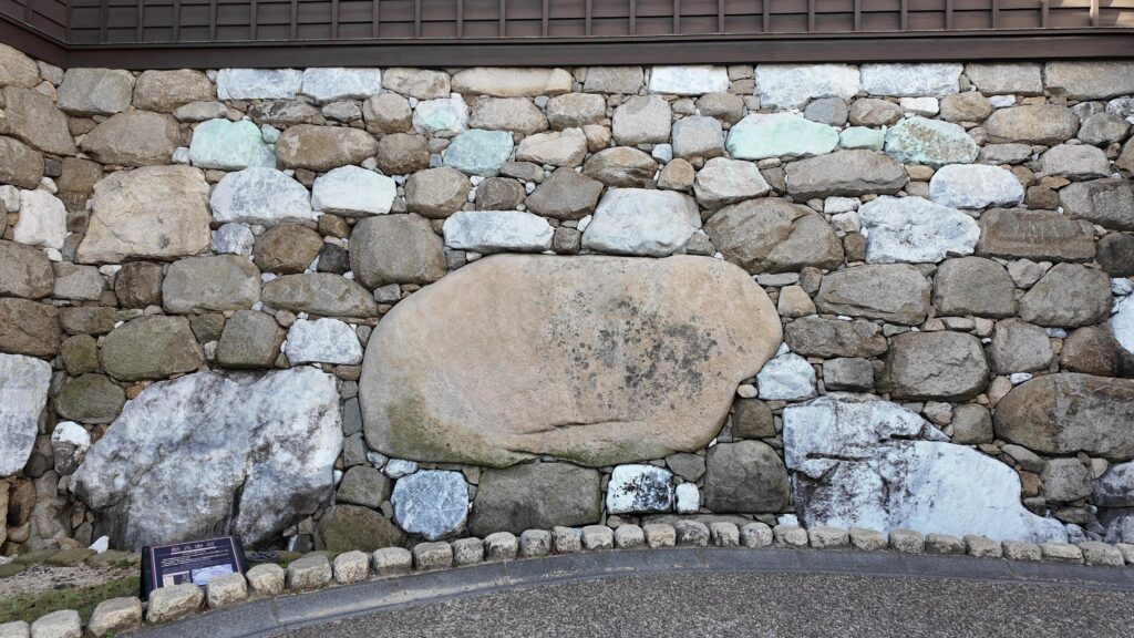
それでも、迫力は十分ですし、正面に巨石がはめこまれています。これは「勘兵衛石」といい、重さ約16トン、名称は築城の奉行を務めたと言われる渡辺勘兵衛にちなみます。こんなすごい枡形が、かつてはいくつもあったのでしょう。正面右側の鉄門(櫓門)から枡形を出ましょう。枡形を出ても、まだ別の櫓に囲まれています。こちらも復元された、武具櫓です。油断がなりません。中に入っていくと、天守が現れました。
現代の天守と当時の痕跡
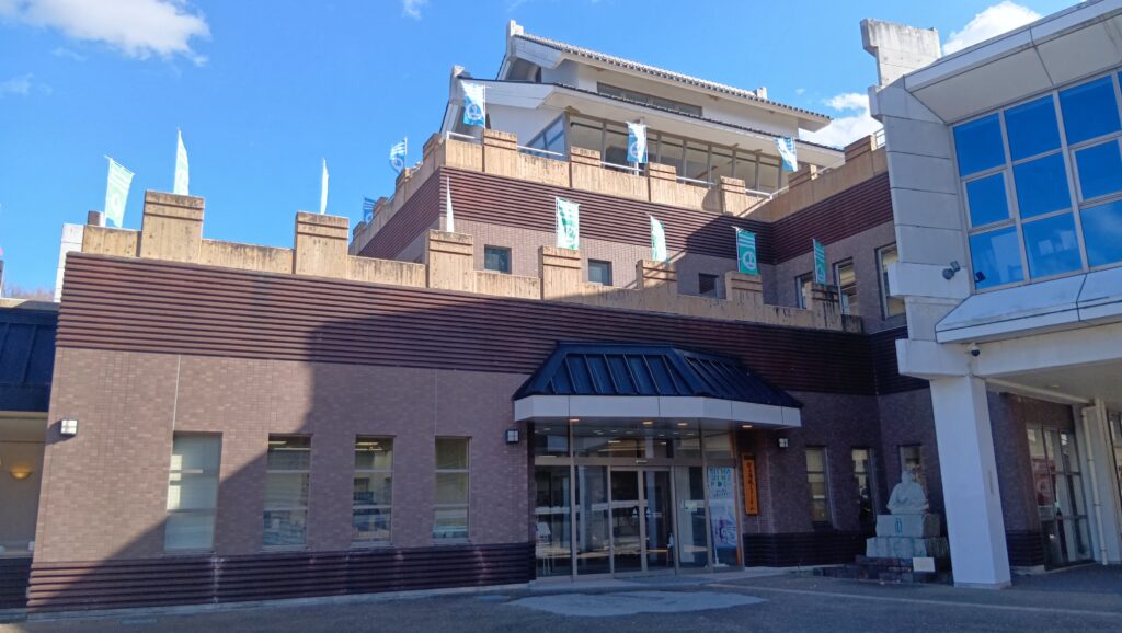
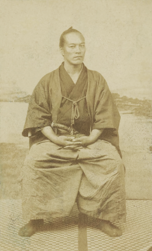
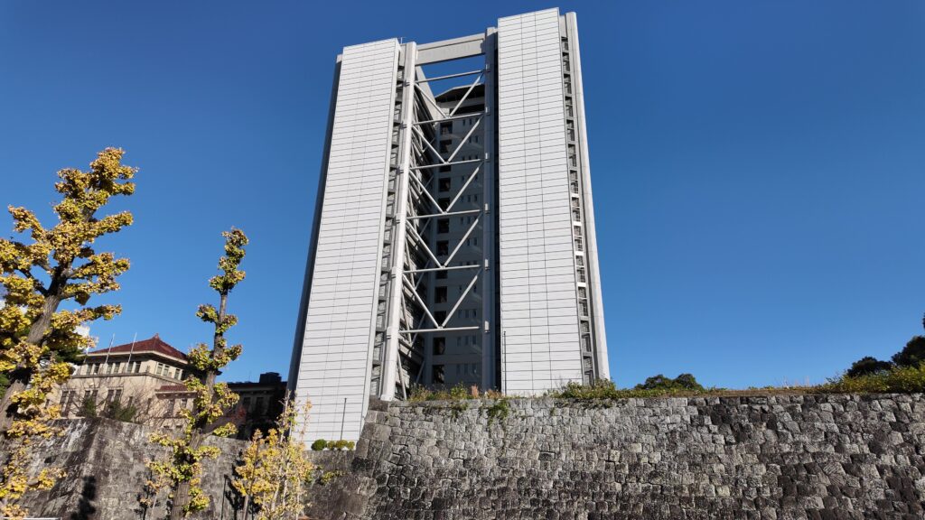
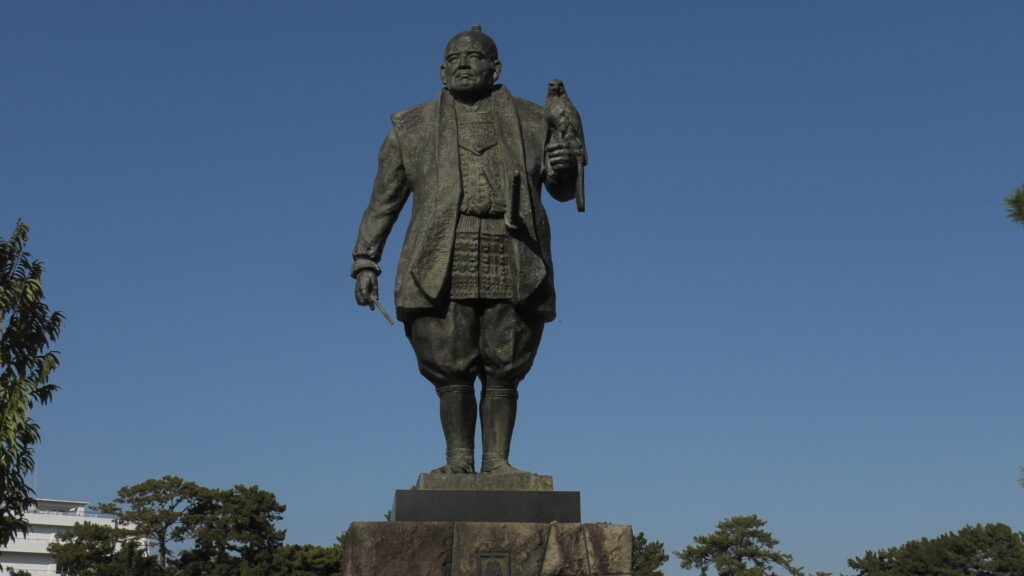
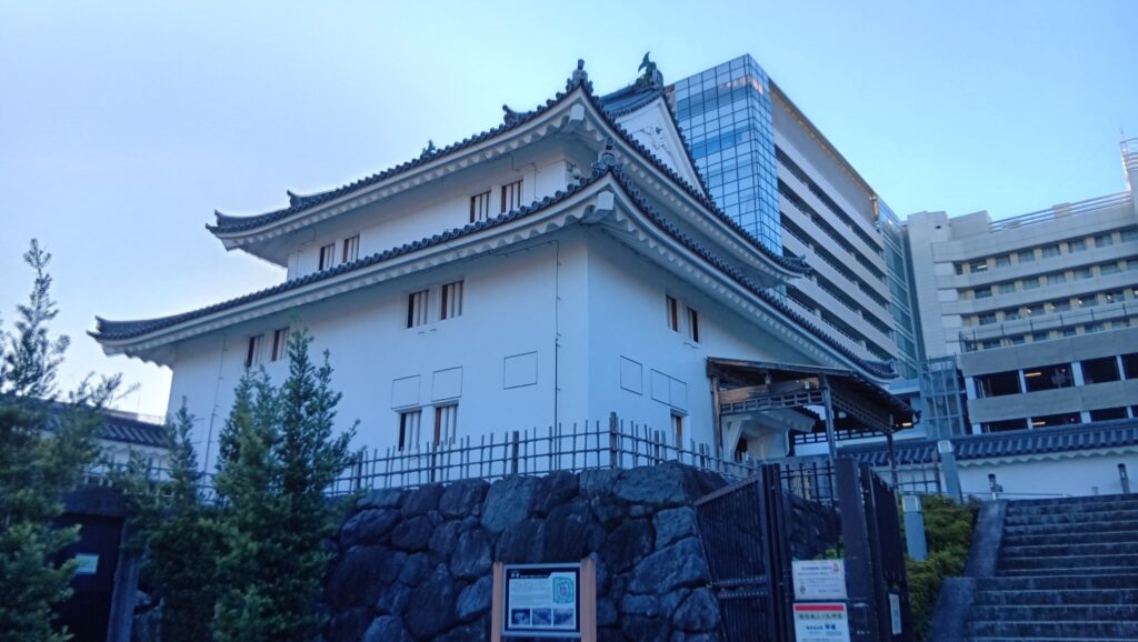
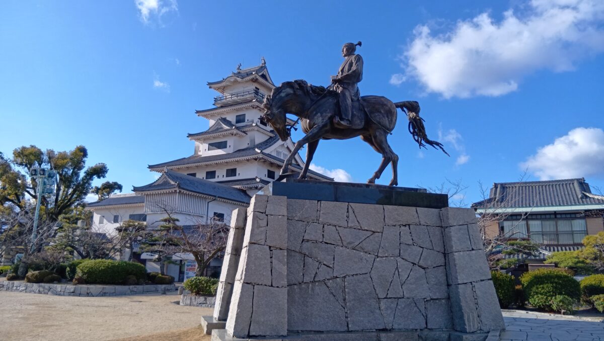
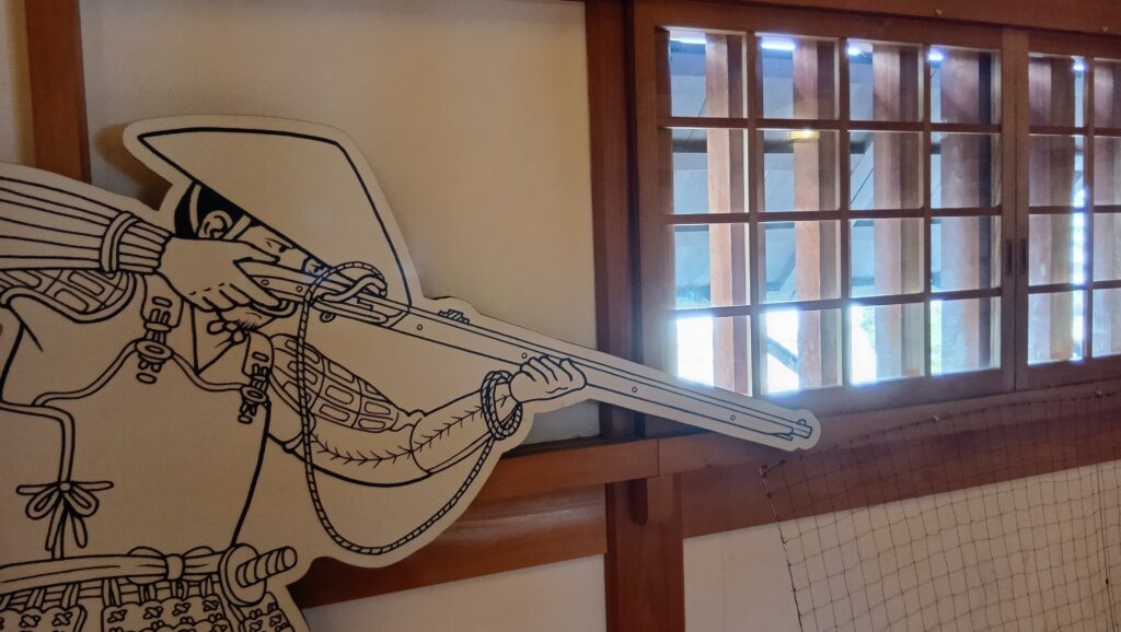
現在ある天守は、1980年に鉄筋コンクリート造りで再建されたものです。位置はかつての北隅櫓の位置にあり、形も層塔型でなく、望楼型風です。よって、天守の分類としては「模擬天守」に分類されています。それでも城のシンボルになっています。城の中のビューポイントは、天守だけではありません。藤堂高虎の像も立てられました。甲冑姿ではありませんが、これもいいと思います。絵になる取り合わせです。

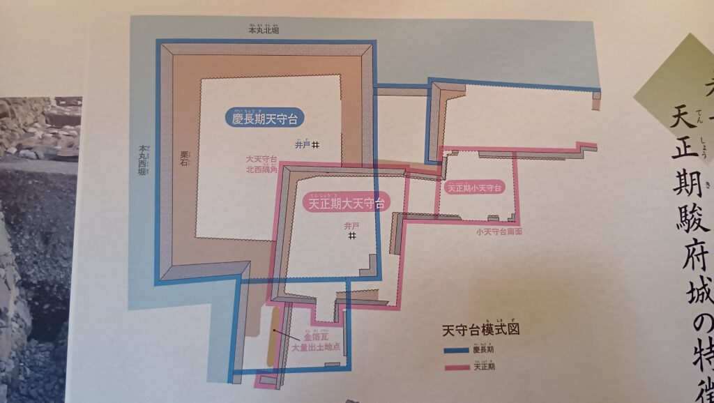
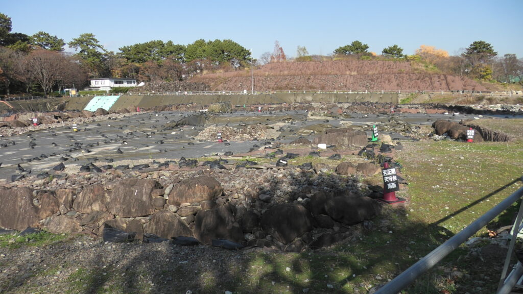
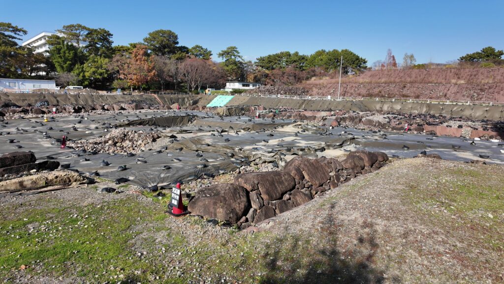
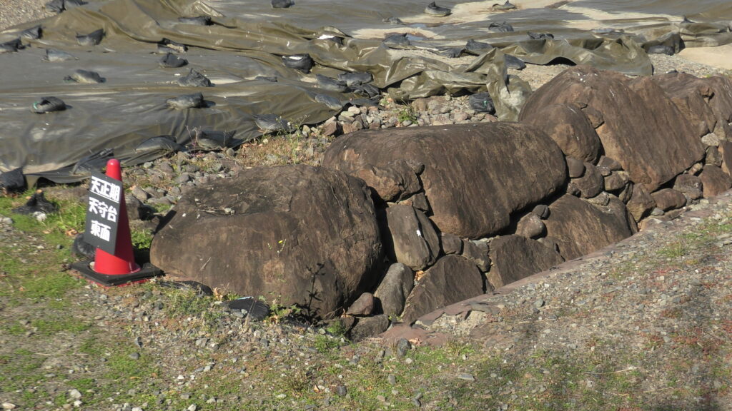
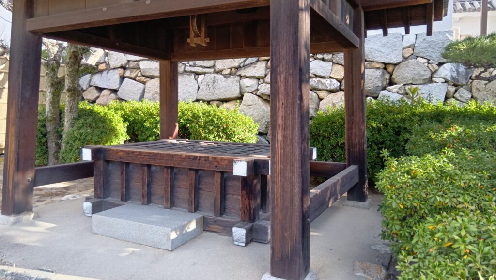
しかし、それ以外は中はなにもない感じです。現在は本丸周辺に神社と模擬天守がある以外は広場になっていて、当時を物語るものは、この環境で真水が出たという「蒼吹の井」くらいでしょうか。
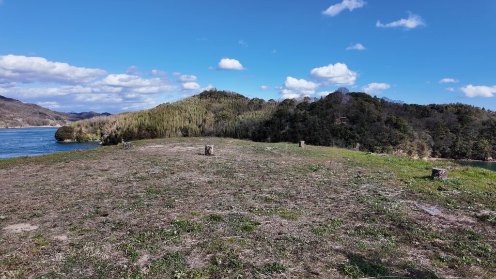
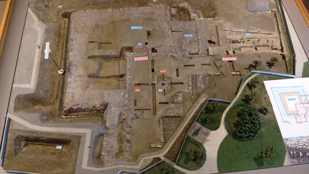
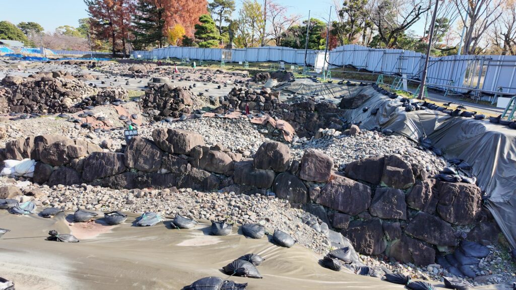
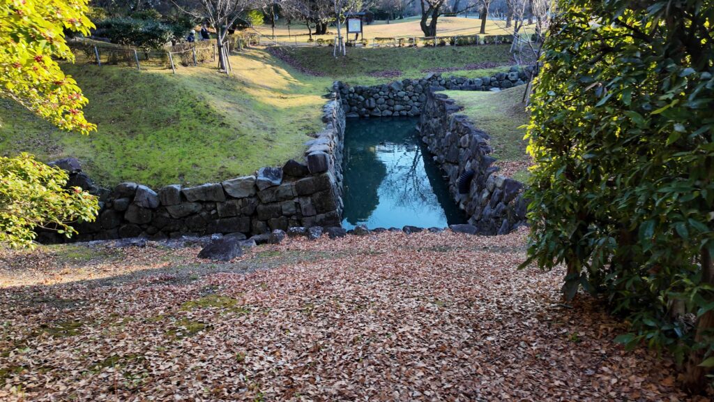
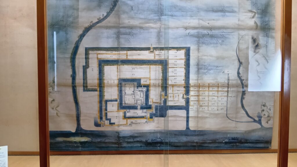
ただ、もともと城の中心部は3つの方形の曲輪を組み合わせたシンプルなもので、天守がなくなってからは、二の丸に御殿があるのが目立つくらいだったようです。3つの曲輪には仕切りがありました。
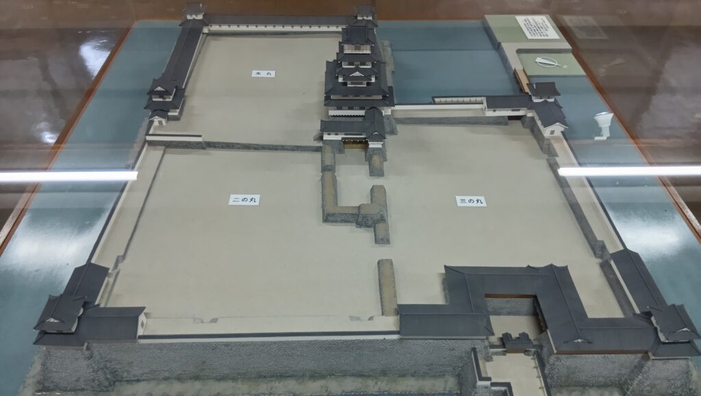
それを覚えておいて、天守に向かいましょう。すると、仕切りのような石垣が残っています。本丸の入口手前の石垣のようです。ということは、現代の天守への門は、本来は本丸の門だったのでしょう。門を入ると折れ曲がって、枡形風になっています。そして、本丸には現在は吹揚神社がありますが、かつては天守があったと考えられます。かつての姿をチェックできたので、現代の天守に入ります。
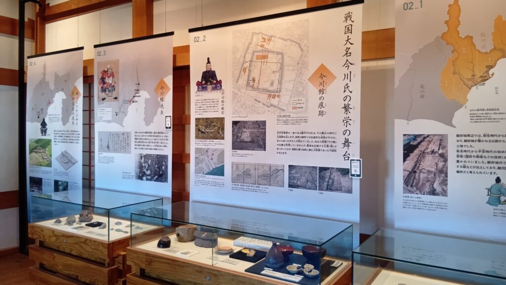
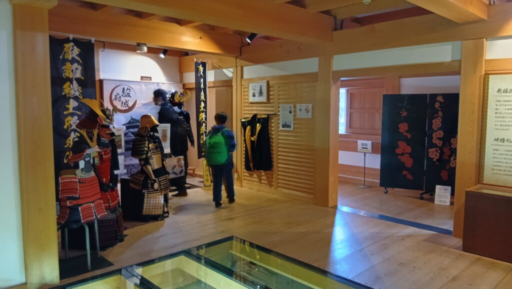
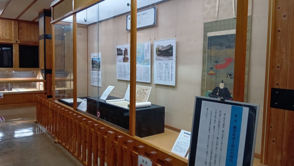
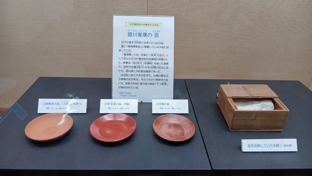
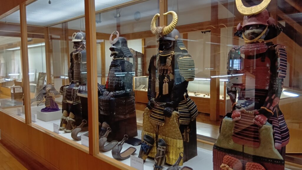
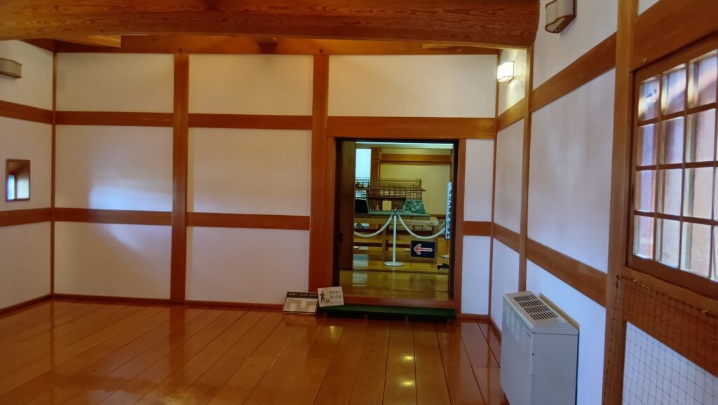
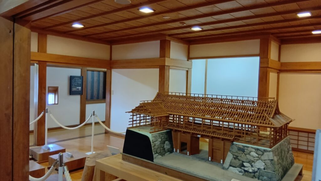
天守の入口1階は、観覧券売場と売店になります。2階から上は歴史博物館になっています。藤堂高虎コーナーも、城の絵図などもあります。「徳川家康の盃」というのも展示されていますが、藤堂氏の後の久松松平氏が家康の親戚ということで、伝来したのでしょう。
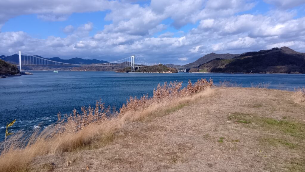
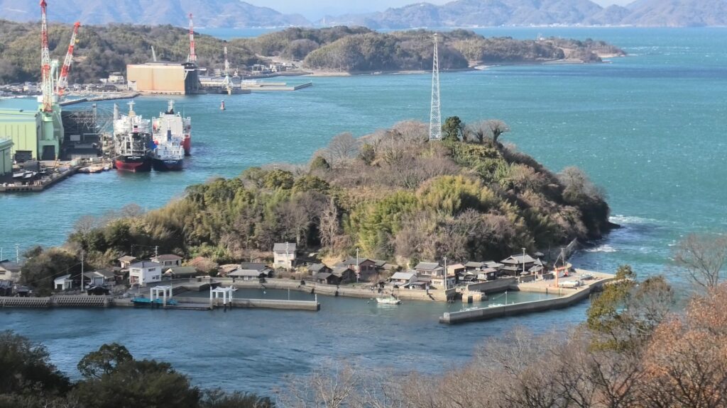
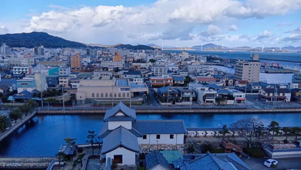
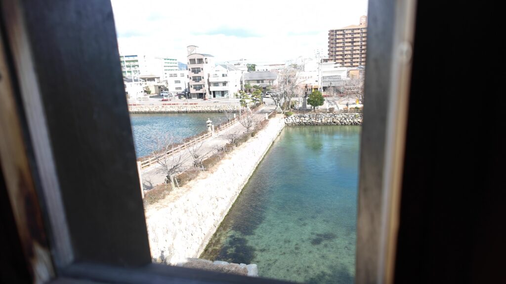
最上階6階は、お約束の展望台です。どんな景色が見えるのでしょう。まず、北側です。前回行った来島海峡や、今回のスタート地点の今治港が見えます。
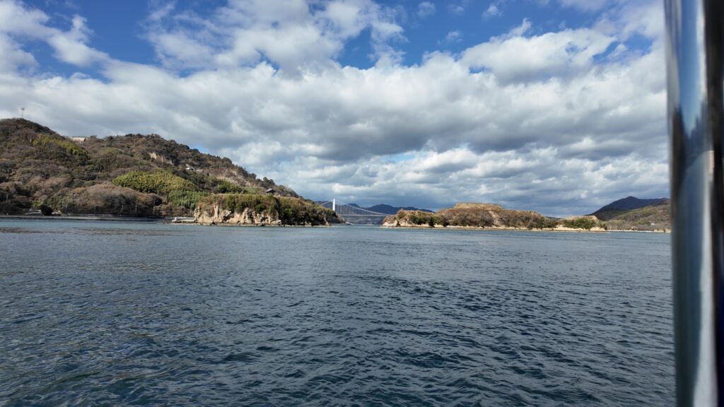
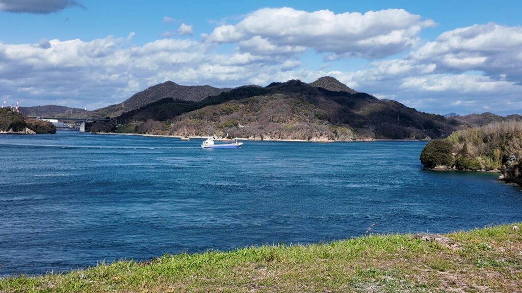
東の方はどうでしょうか。瀬戸内海の島々が見えます。
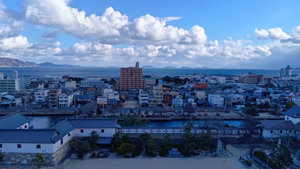
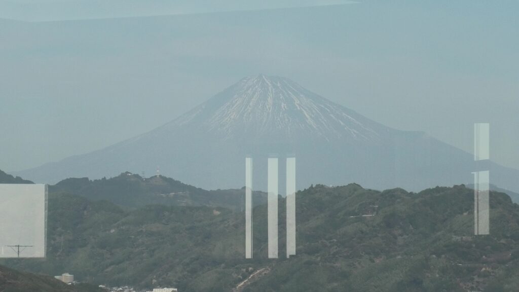
続けて南側です。四国の山々が見えます。高虎が当初拠点にしようとした国府山城は、真ん中辺りの小山のようです。
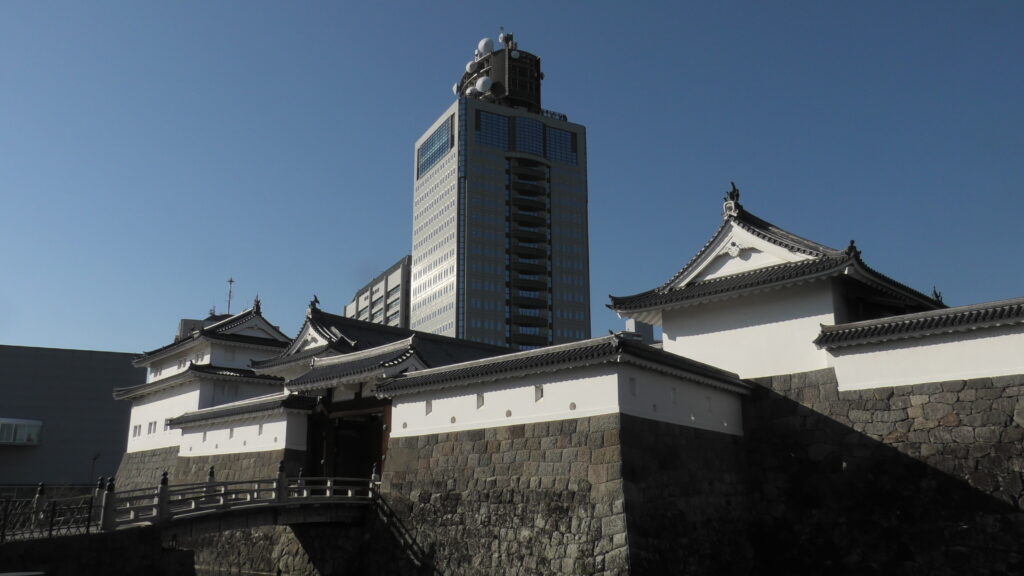
西側の眺めは、主に市街地になります。堀の広さが目立ちます。元あった天守からも、こんな眺めだったのでしょうか。現代の天守も、十分楽しみました。
櫓に見る高虎築城術
ここからは、再建された櫓群を巡りながら、高虎築城術を探ります。
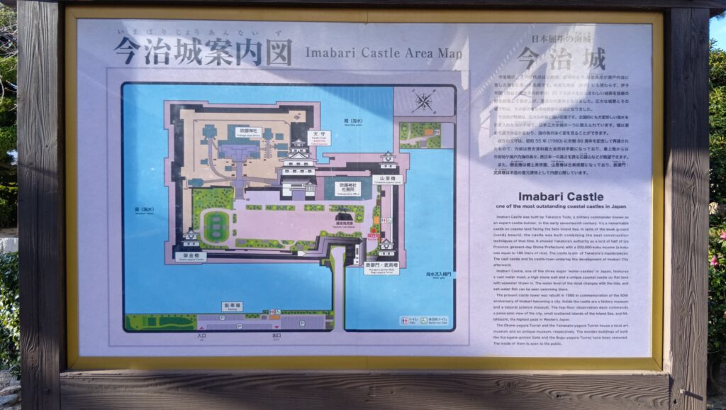
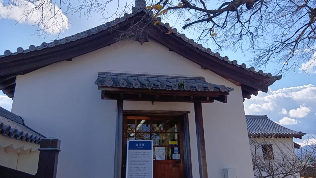
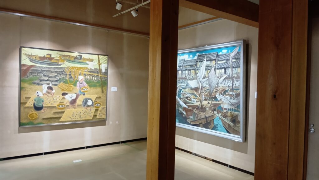
城周辺の地図最初は、御金櫓(おかねやぐら)です。金蔵だったのでその名前になったそうです。「東隅櫓」とも呼ばれました。現在の建物は、1985年に鉄筋コンクリート造りで外観復元されています。中は、現代美術館として使われています。
以下が外側の外観ですが、隅を守る重要な櫓なので、二階には大砲用の窓(大狭間)も設けられていました(山里櫓・武具櫓にもあり)。
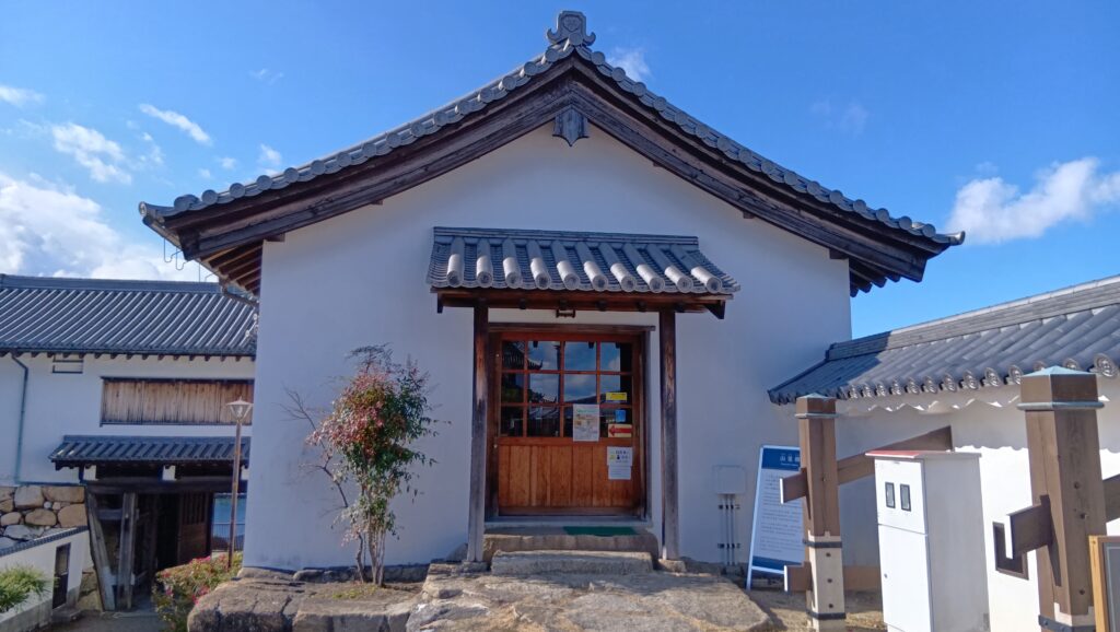
次は、山里櫓です。こちらも1990年に外観復元されたのですが、木造です。中は古美術館になっています。
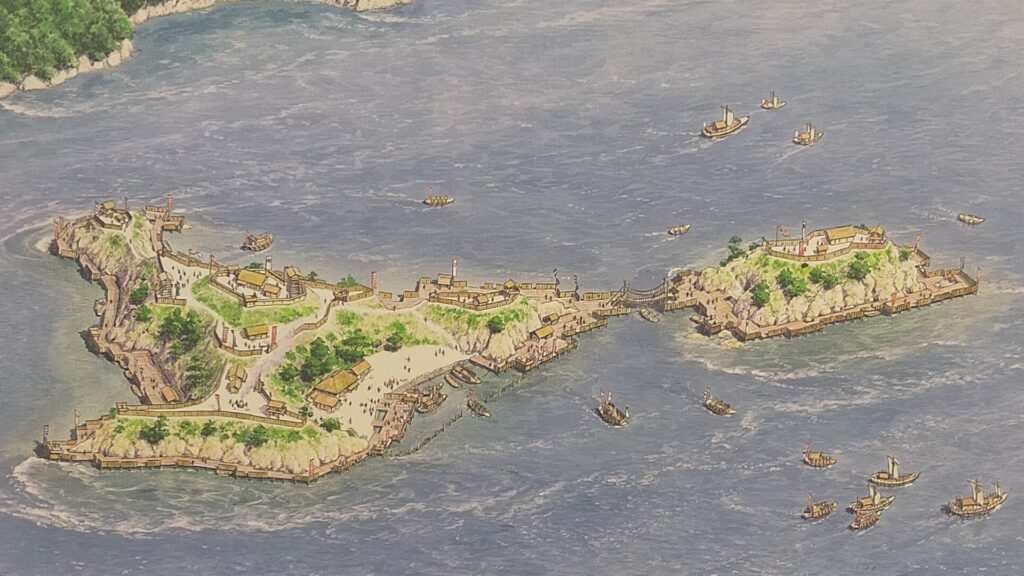
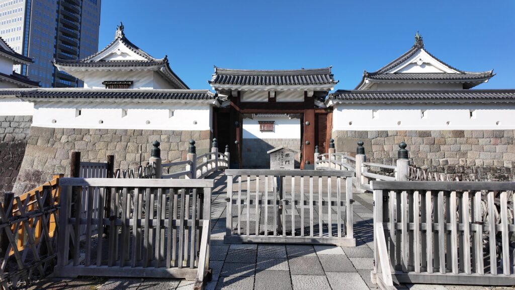
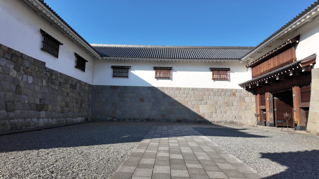
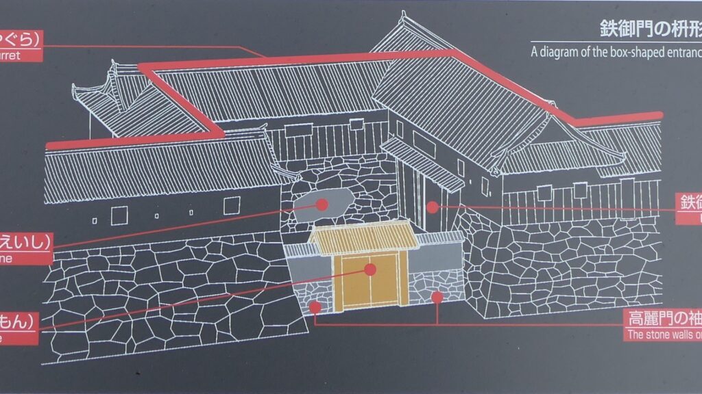
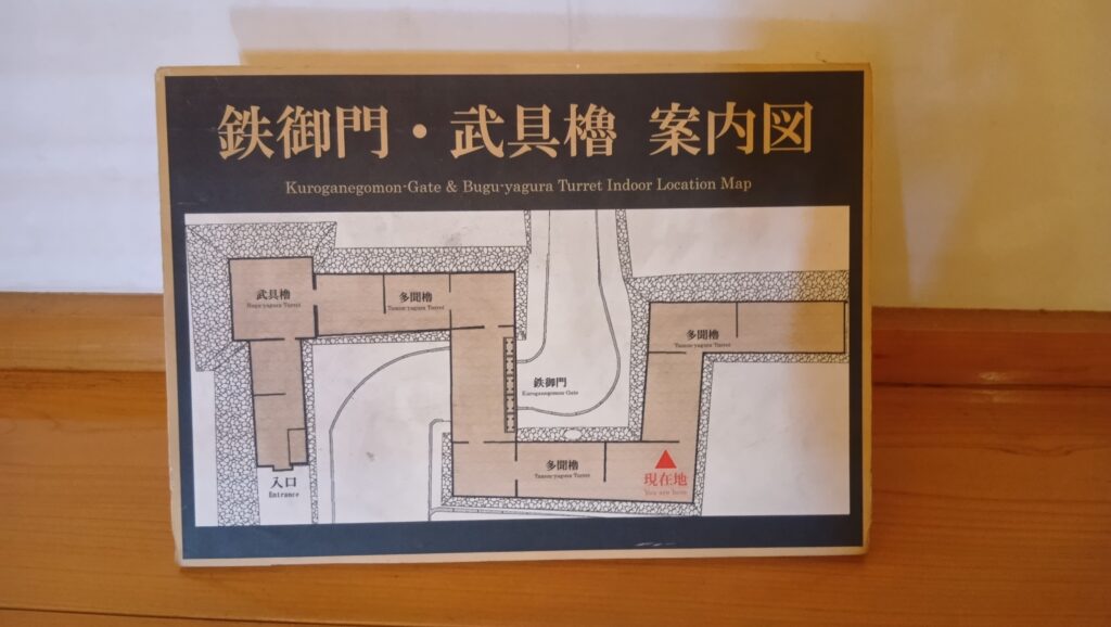
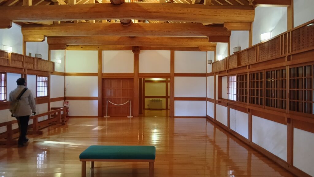
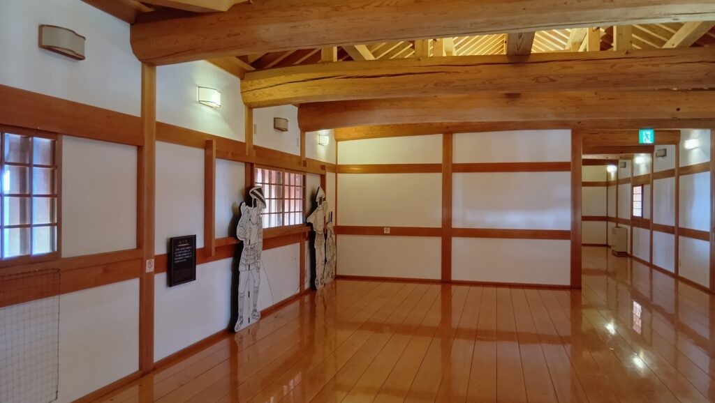
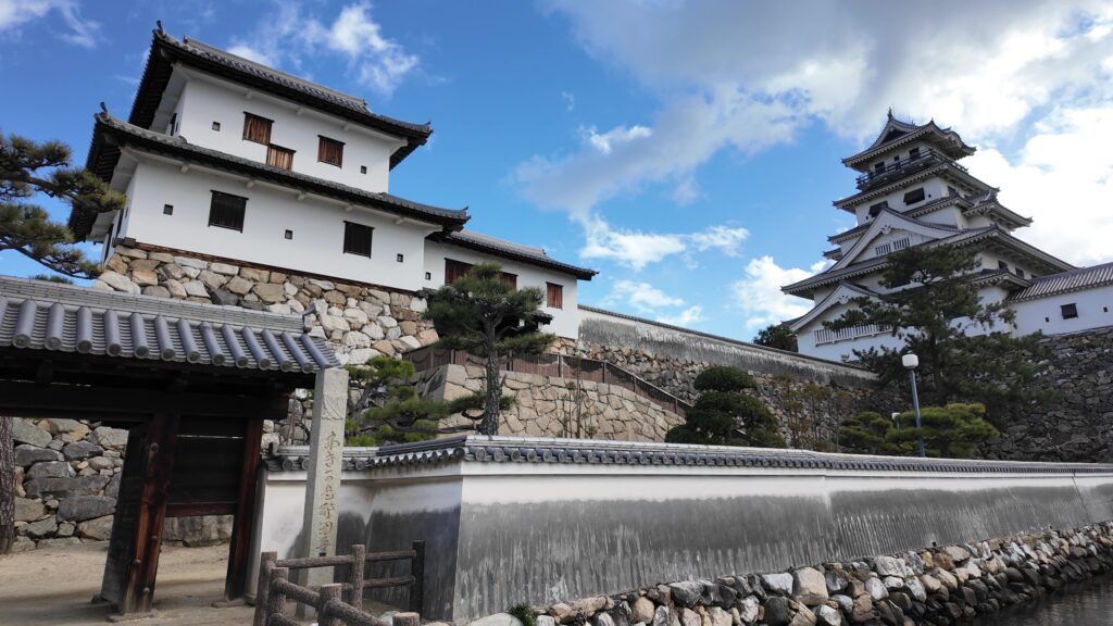
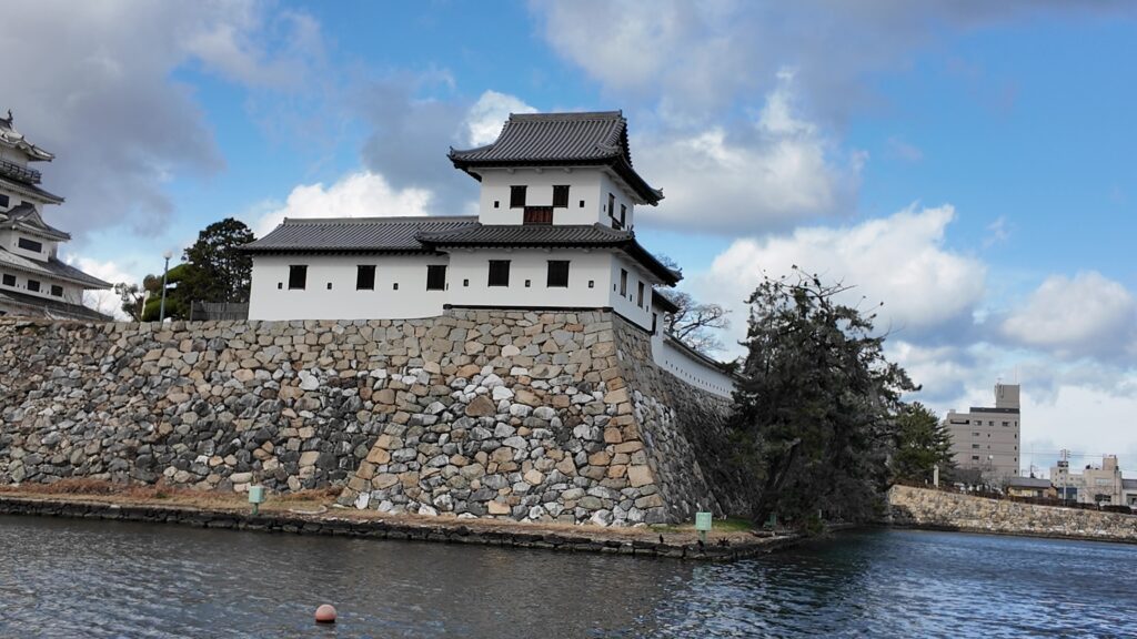
そして、最後に是非行っていただきたいのが、山里櫓から塀づたいに進んだ先の、鉄御門と武具櫓です。2つの建物は、再建時期や建て方は違うのですが、(武具櫓:1980年鉄筋コンクリート造外観復元、鉄門:2007年木造復元)中が多聞櫓でずっとつながっていて、高虎築城術でどうお城を守っていたか、わかりやすい展示になっているのです。
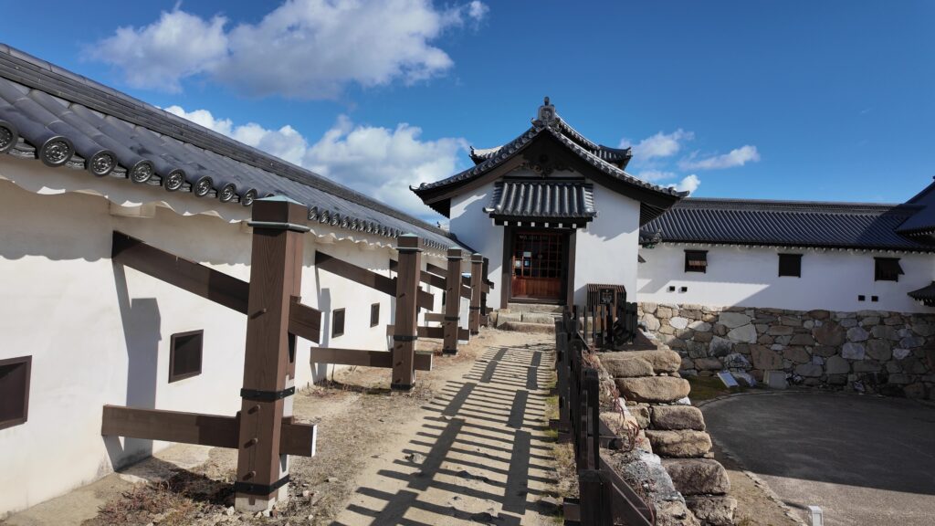
武具櫓から入っていきましょう。中から内堀などが見えたり、鉄御門の模型が展示してあったりします。鉄御門の方に進みましょう。
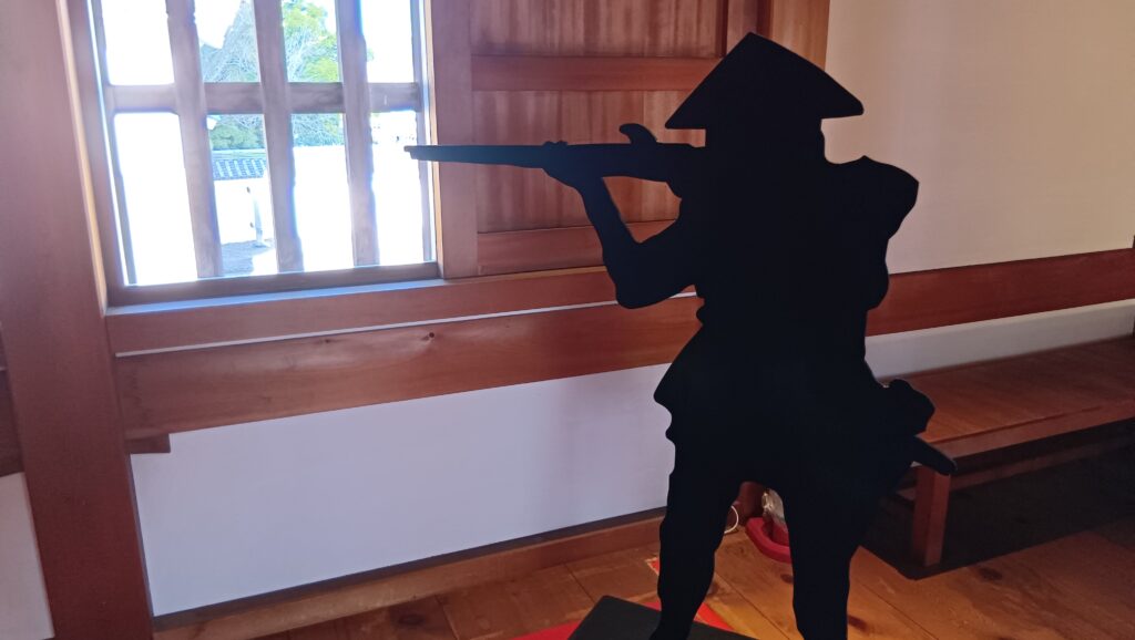
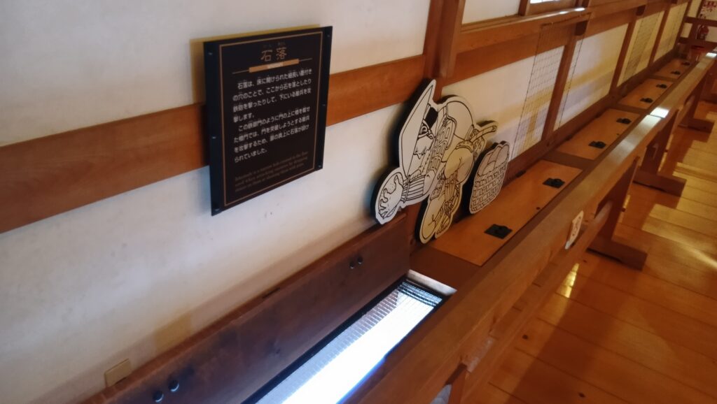
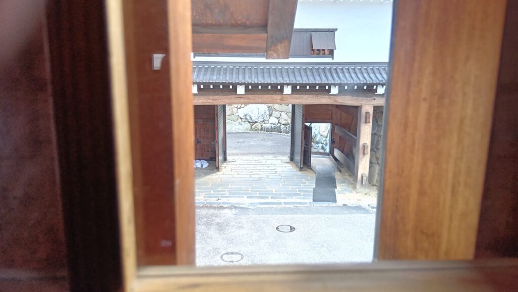
鉄御門の中では、兵士のフィギアによって防御方法の展示があります。石落としなどです。また、格子窓からは勘兵衛石が見えます。
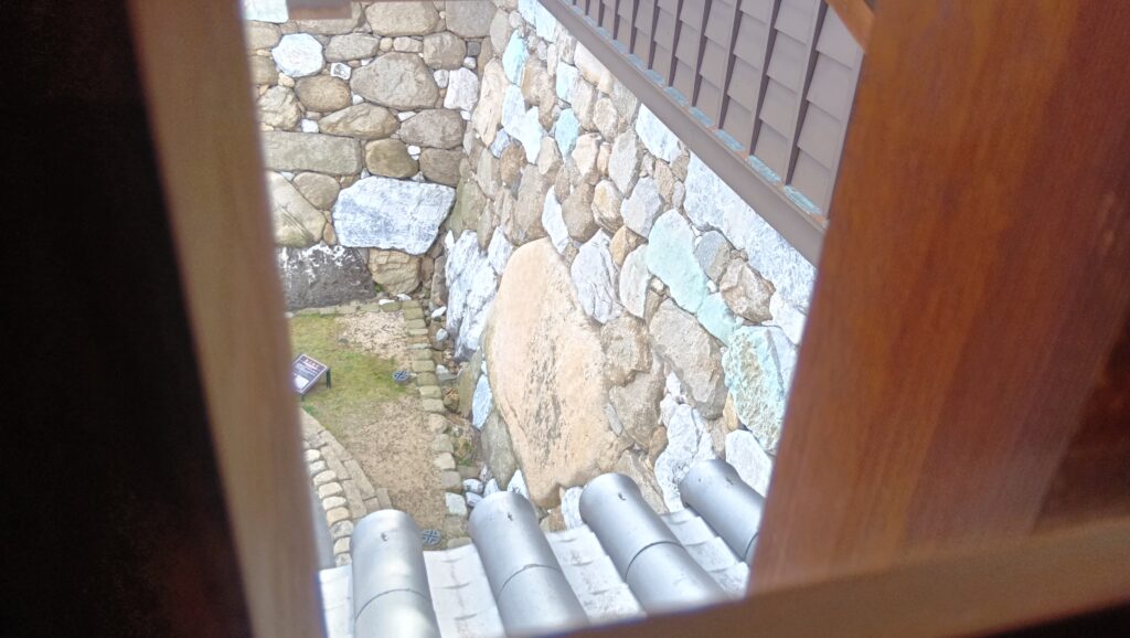
回り込んでいくと何が見えるでしょうか。城の入口の土橋が見えます。
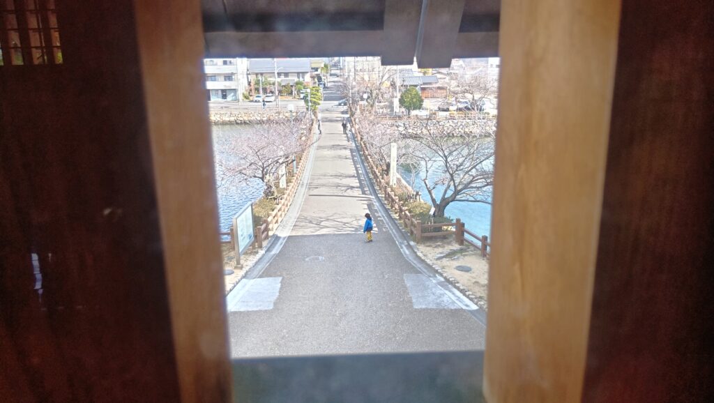
更に回り込んでいくと、鉄御門が見えます。つまり、枡形を多聞櫓が取り囲んでいるのです。
櫓はまだまだ続いていて、土橋を渡る敵を側面攻撃できるようになっていました。水も漏らさぬ防衛態勢です。
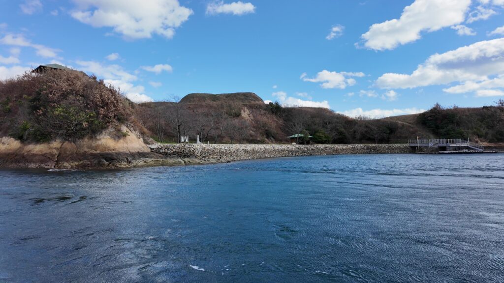
海の続き!内堀を歩く
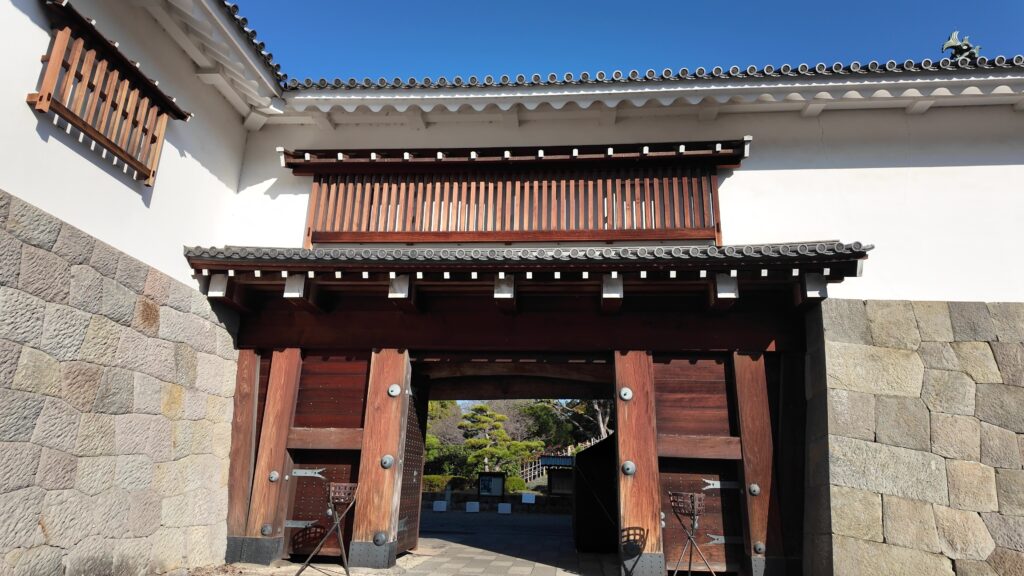
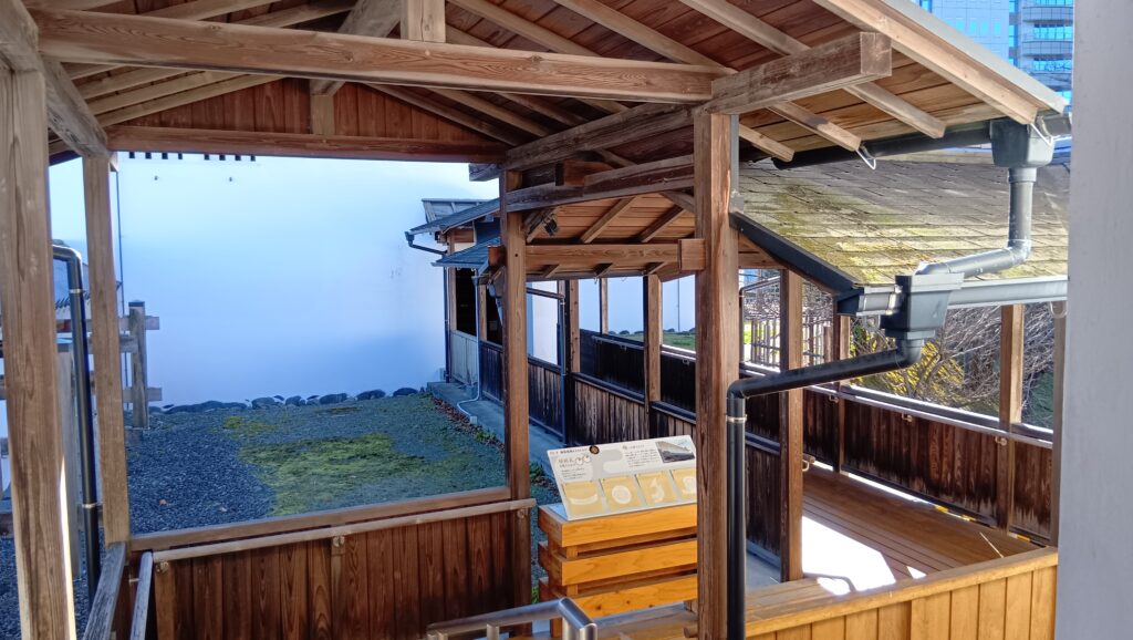
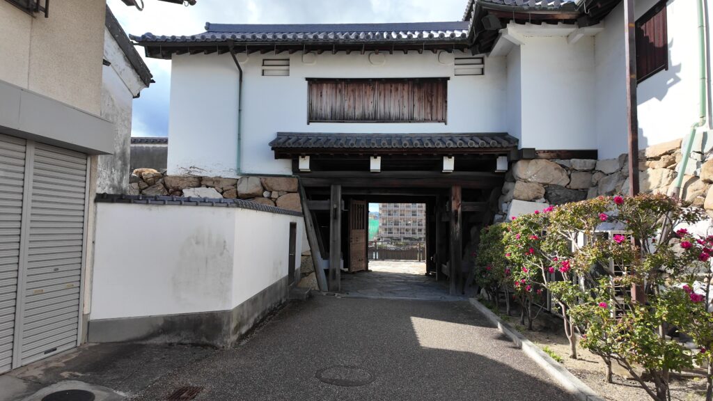
内堀を見学するのに、裏門の山里門から出ていくことにします。まず、山里櫓とセットになっている山里櫓門です。
階段を下るときに見上げる天守もかっこいいです。城の現役時代には北隅櫓があったので、そこからにらみをきかせたのでしょう。
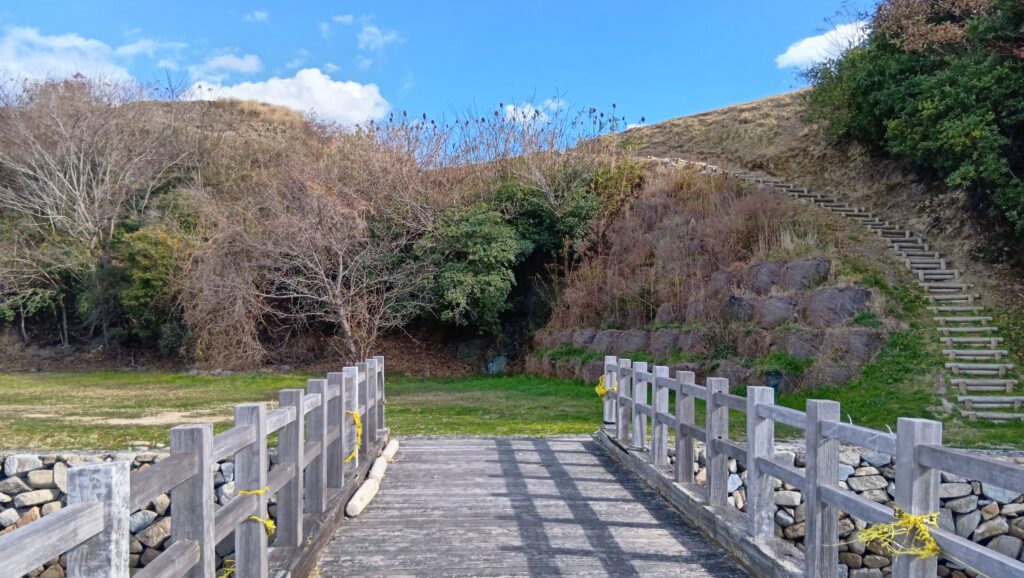
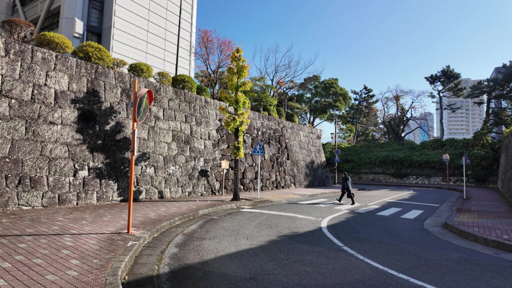
折り返した先にまた門があるのです。山里門(高麗門)です。これも枡形の一種でしょうか。橋を渡ると、隠居屋敷・庭園があった「山里」です。
振り返ると、以下のように見えます。裏門とは言え、抜かりはないようです。
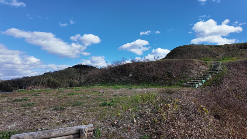
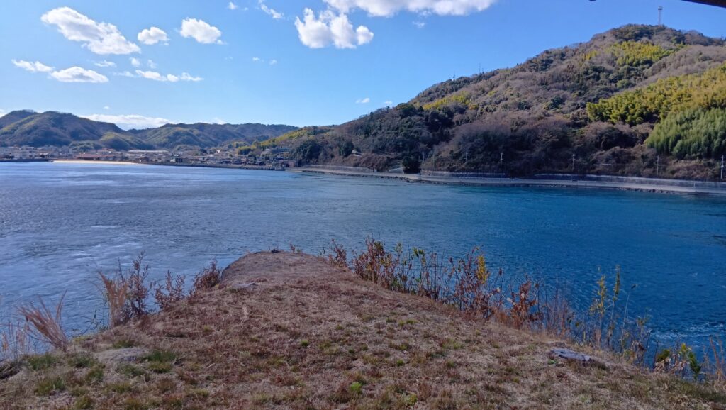
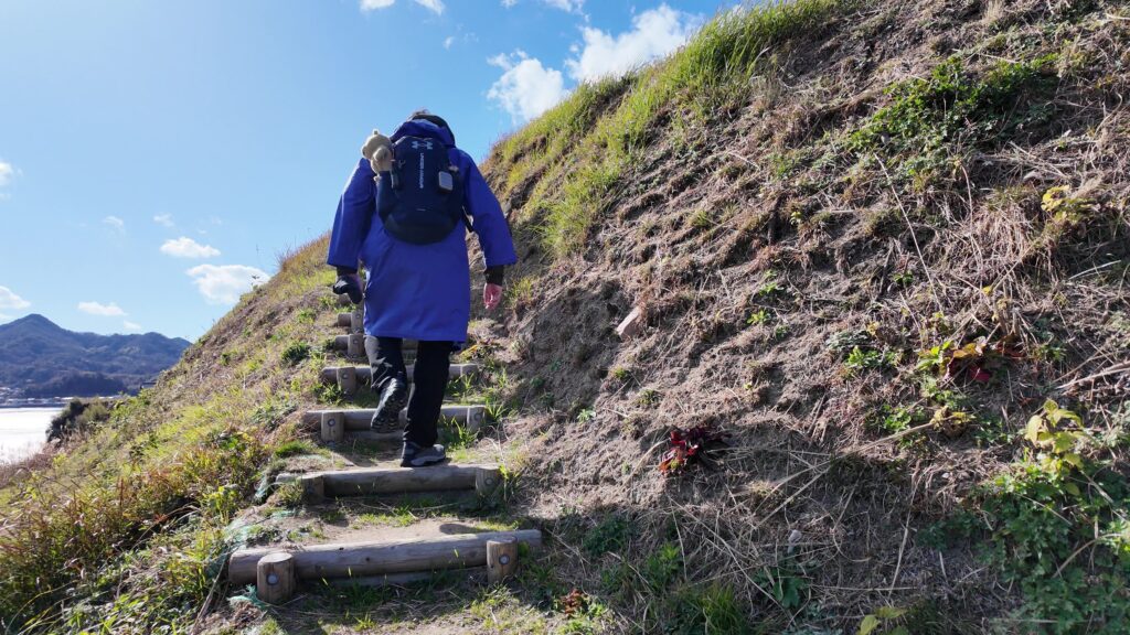
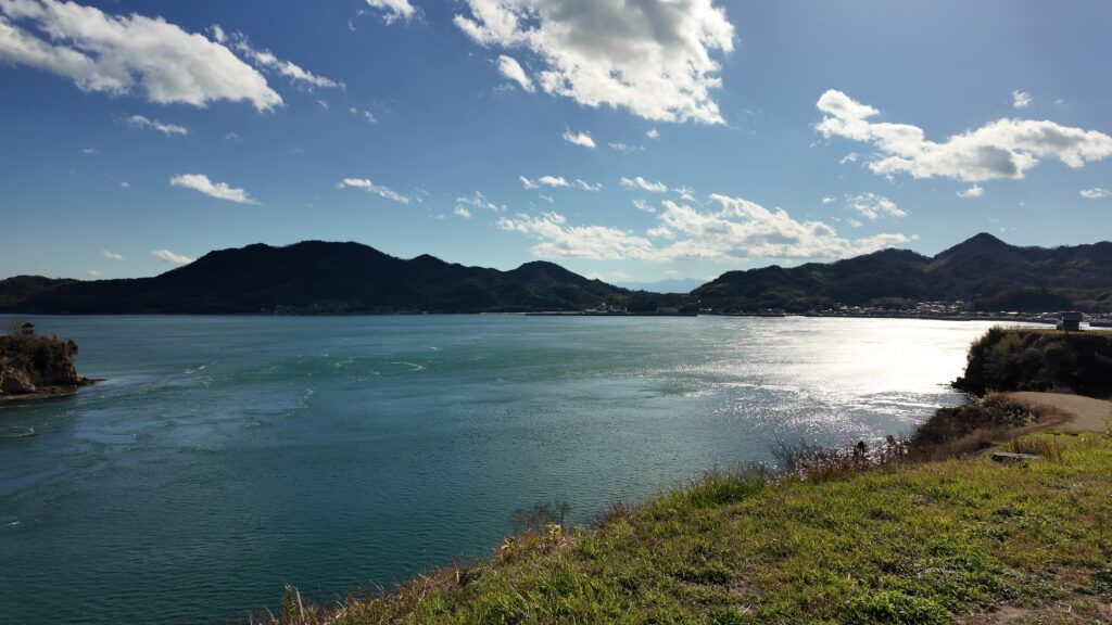
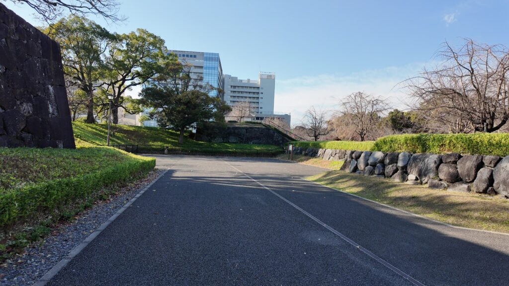
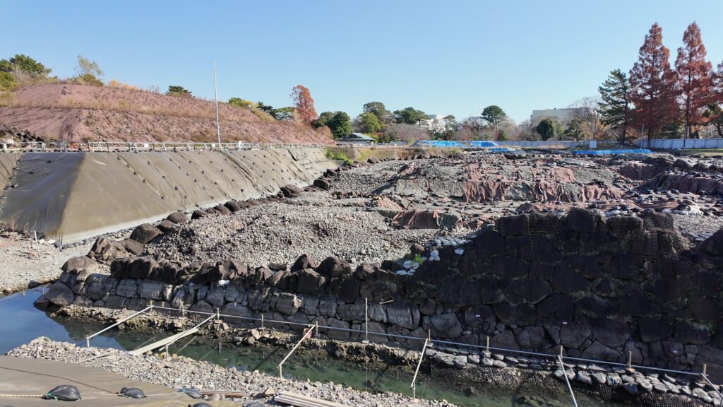
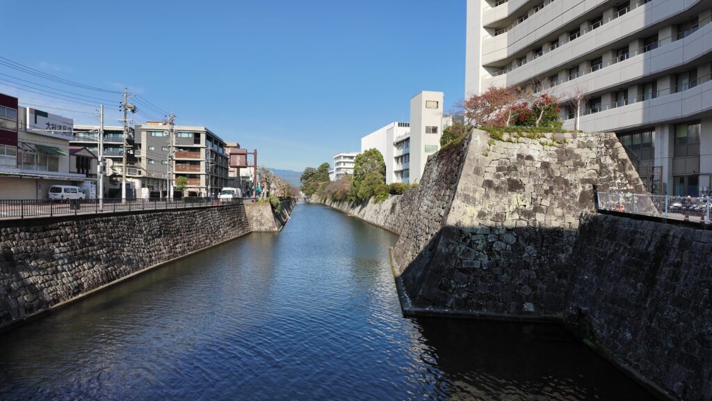
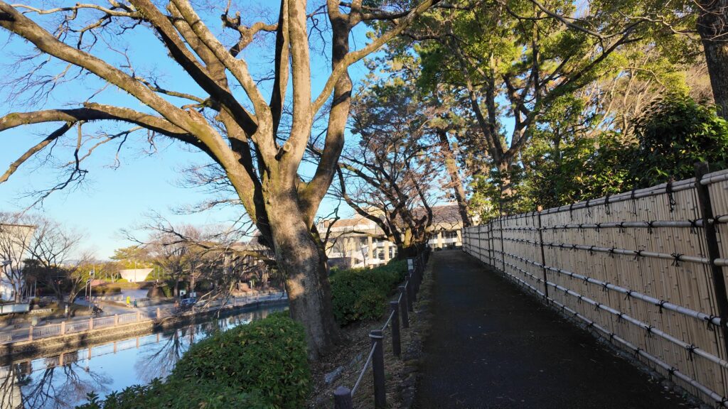
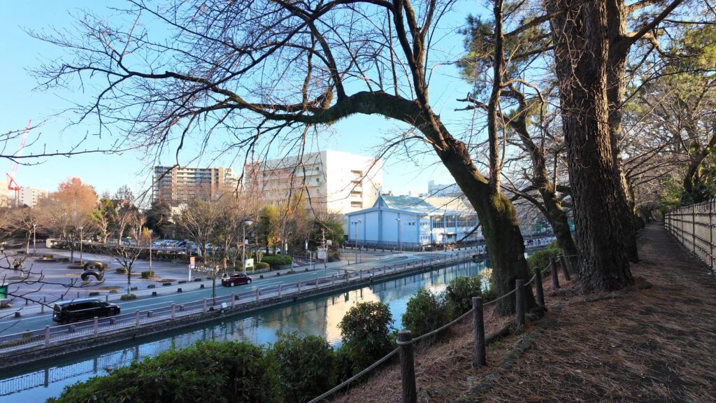
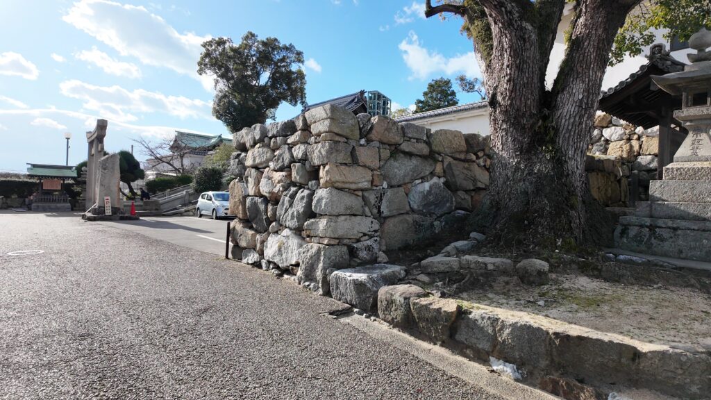
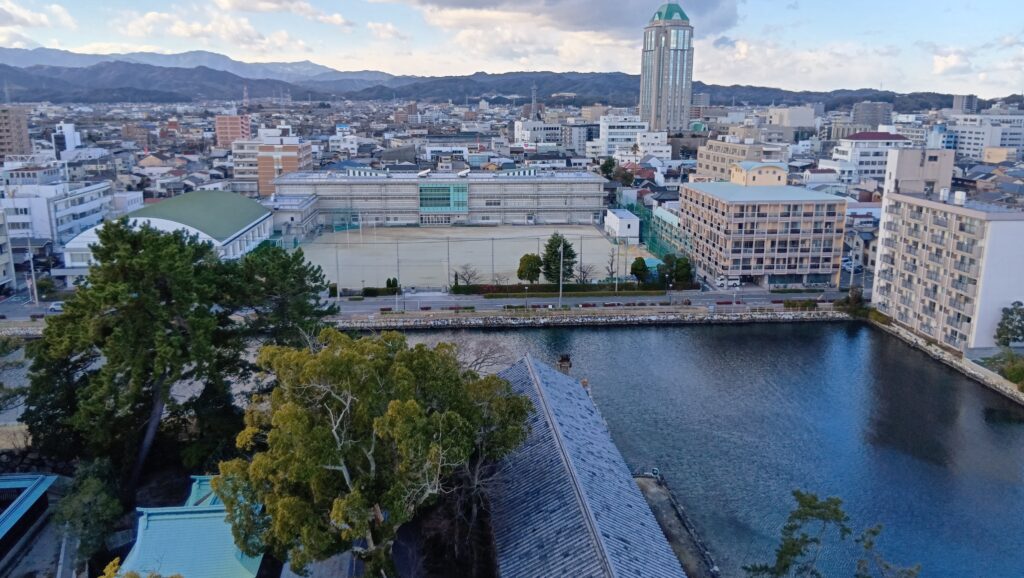
少し移動して、内堀の堀端にきました。城の曲輪ががへこんでいる部分なので、堀がすごく広く見えます。ここからずっと歩いていきましょう。
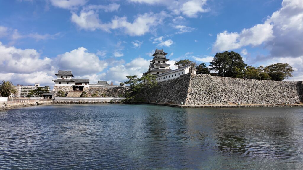
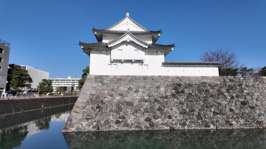
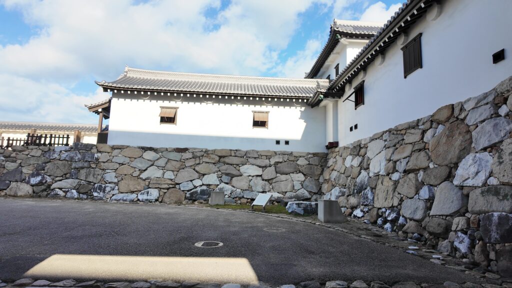
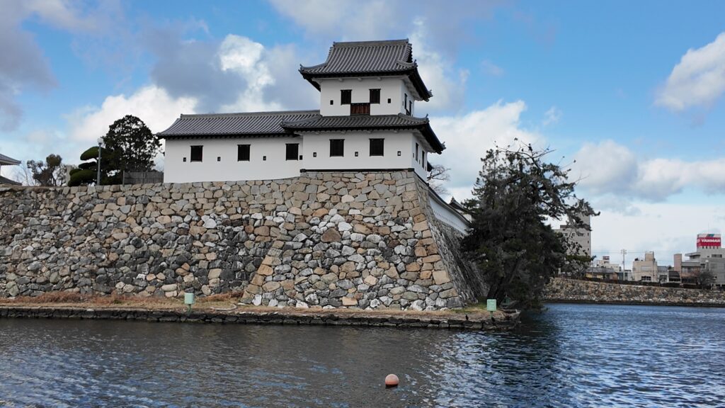
本丸の裏側が見えます。左から西隅櫓、南隅櫓がありました。
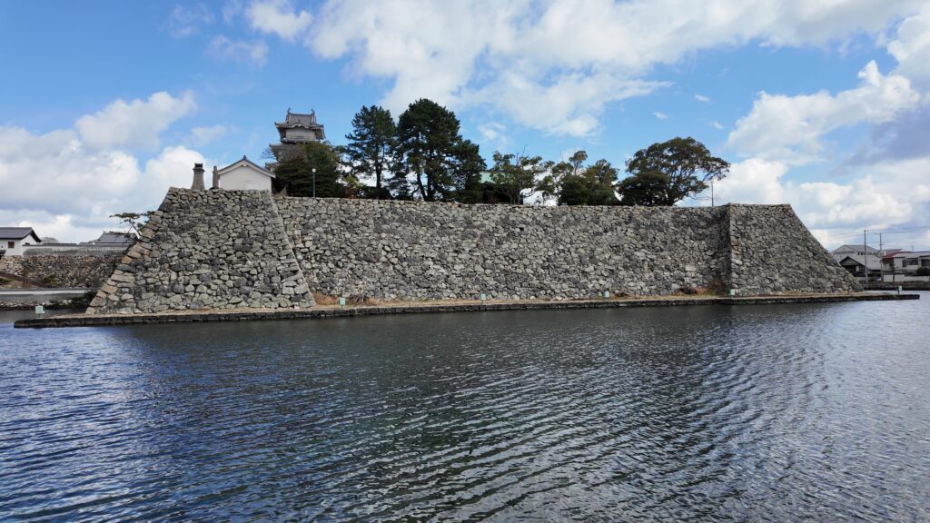
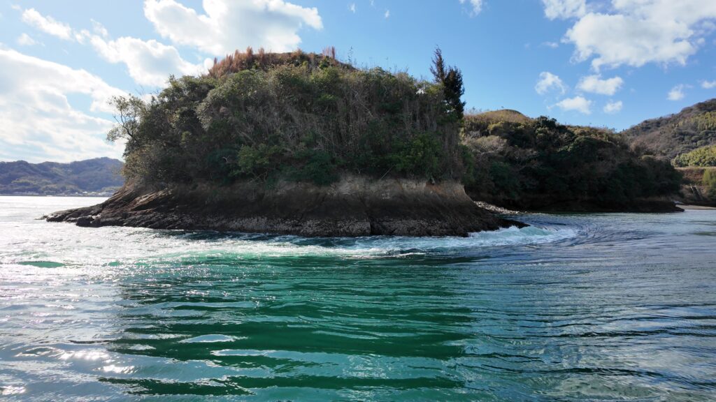
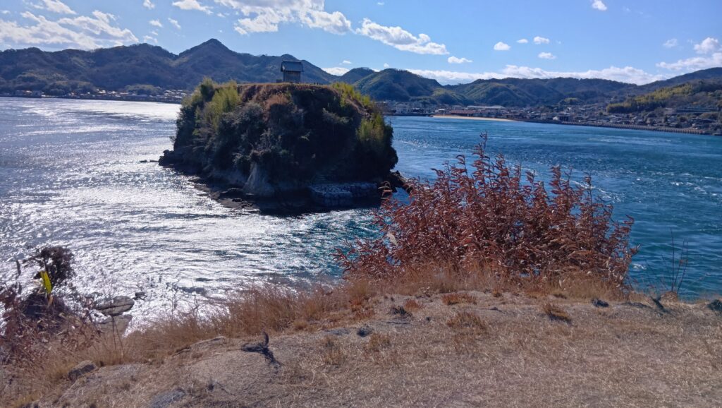
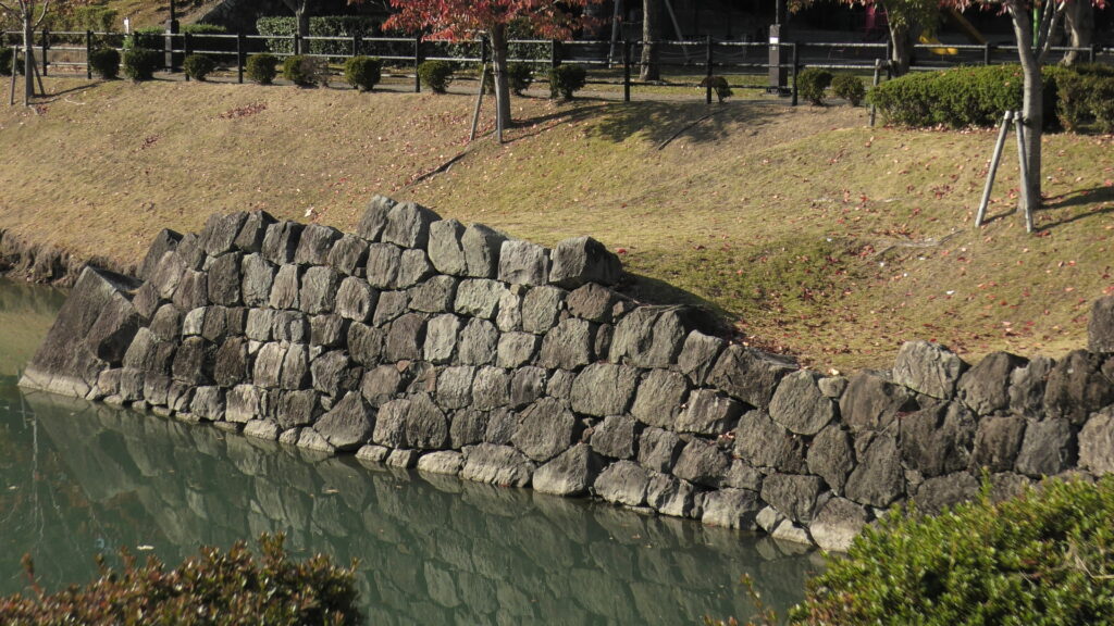
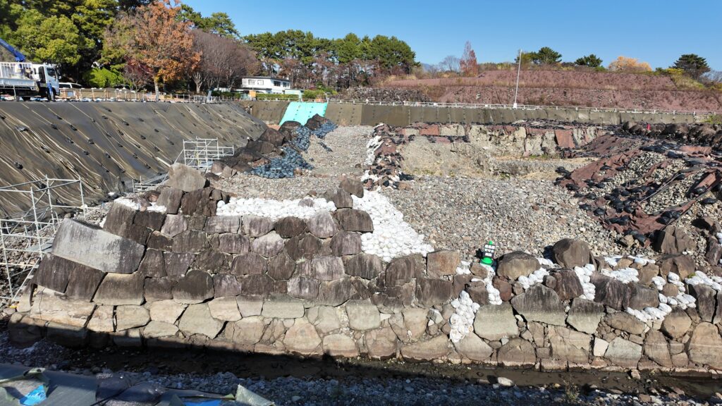
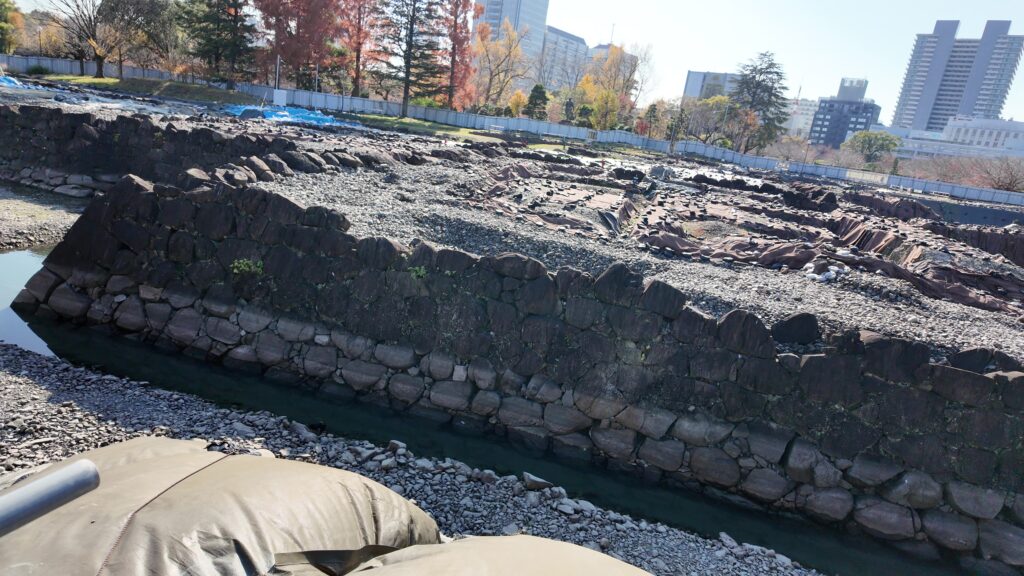
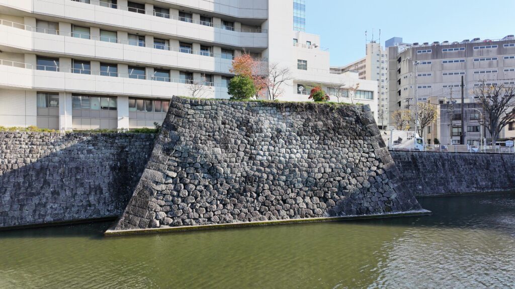
南の隅に来ました。櫓がなくても迫力があります。まるで堀に浮かぶ要塞のようです。遠巻きから石垣と犬走りも観察しましょう。
東側に向かっていきます。先ほど見学した御金櫓が見えてきました。こうやって見ていると、こちらから鉄砲や矢を放っても、まともに届かないように感じます。逆に、城からは高さがあるので、そこから放つ鉄砲や矢は有効なのでしょう(石垣の高さ9~13m、堀の幅約50m)。高虎はそんなことも計算して、このお城を作ったのではないでしょうか。それこそが高虎築城術かもしれません。
最終コーナーを回ります。正面の、鉄御門が見えてきました。
リンク、参考情報(追加分)
・「よみがえる日本の城10」学研
これで終わります、ありがとうございました。