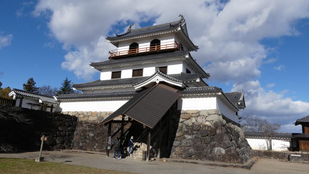
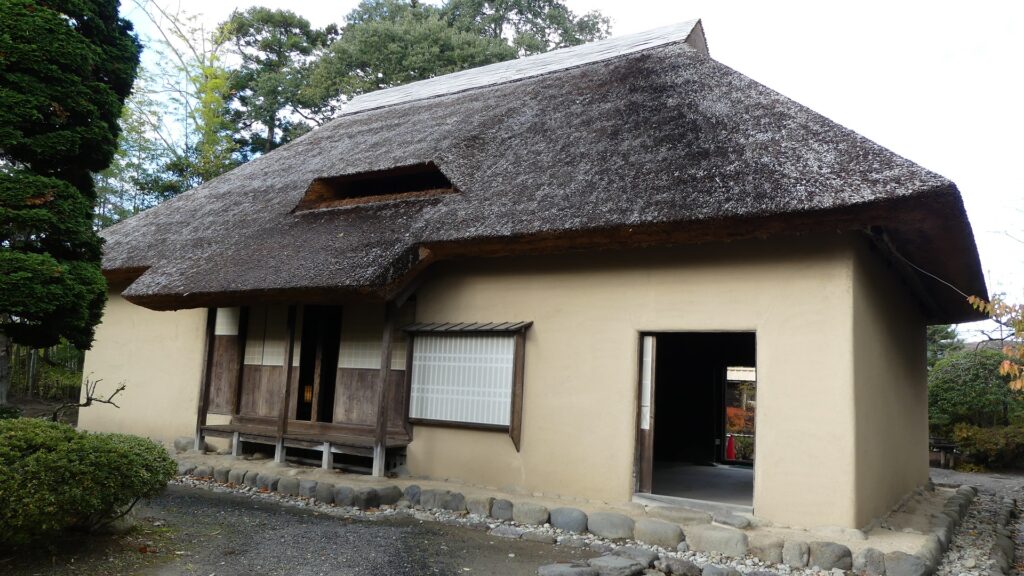
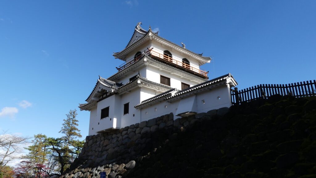
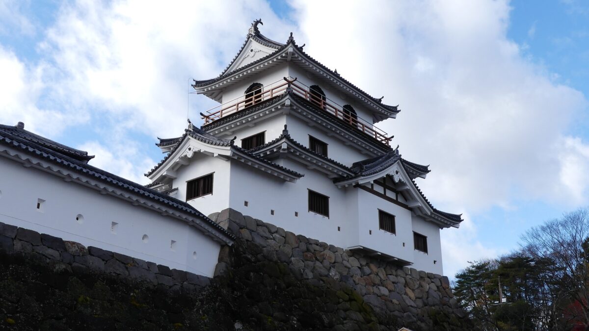
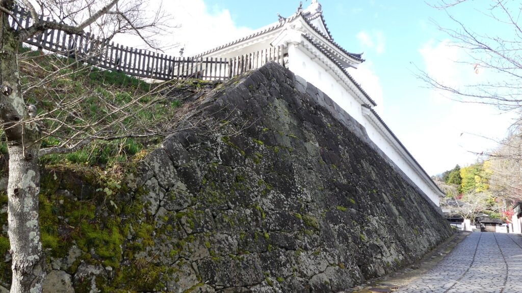
The restored three-level Main Tower is on the corner of the stone walls of the main enclosure, which looks really great! Not only is it a symbol of the castle but also of the city. It could also had been seen as the authority of the lord as well as a threat to enemies when the original tower was there.
Later History
After the Meiji Restoration, Kuniori Katakura, the last lord of the castle moved to Hokkaido with his some retainers. All the castle buildings and stone walls were demolished and sold to earn their expenses. The vacant castle ruins were turned into Masuoka Park which has became famous for cherry blossoms for some time. In 1987, a NHK drama called “Dokuganryu (one-eyed hero) Masamune” aired and became very popular. The drama featured not only Masamune Date but also the Katakura Clan, so many visitors visited the Shiroishi Castle Ruins but were disappointed at the ruins with few historical items. The mayor of the city saw the situation and decided to restore the castle in 1988.
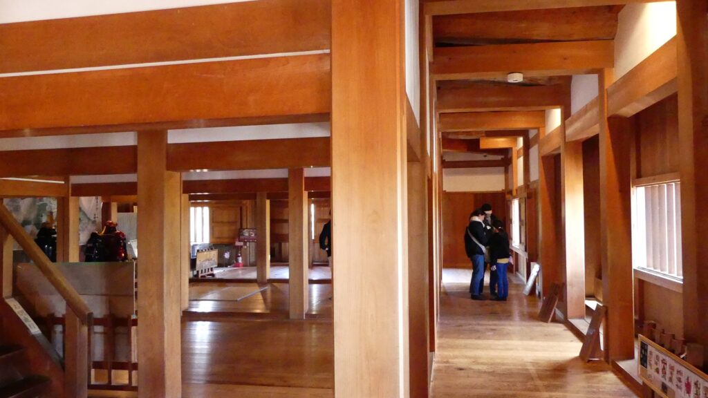
One of the most important topics about it was that the castle would be restored using the traditional wooden construction. However, there was a big problem with the law. The original Main Tower was 16.7m high. Meanwhile, Japan’s Building Standard Act basically doesn’t allow builders to build wooden buildings which are over 13m tall. According to this law, the tower would not be able to be built. After that, The city negotiated with the central government, and finally got an exemption by the competent minster to build the tower at its original height. The restoration was completed in 1997.
The restored Main Tower of Shiroishi Castle
Features
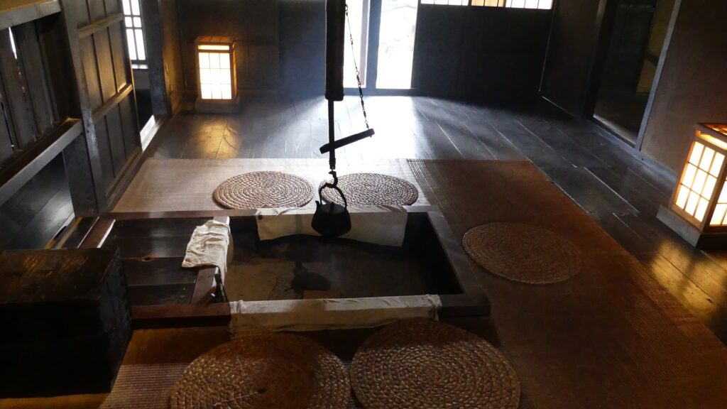
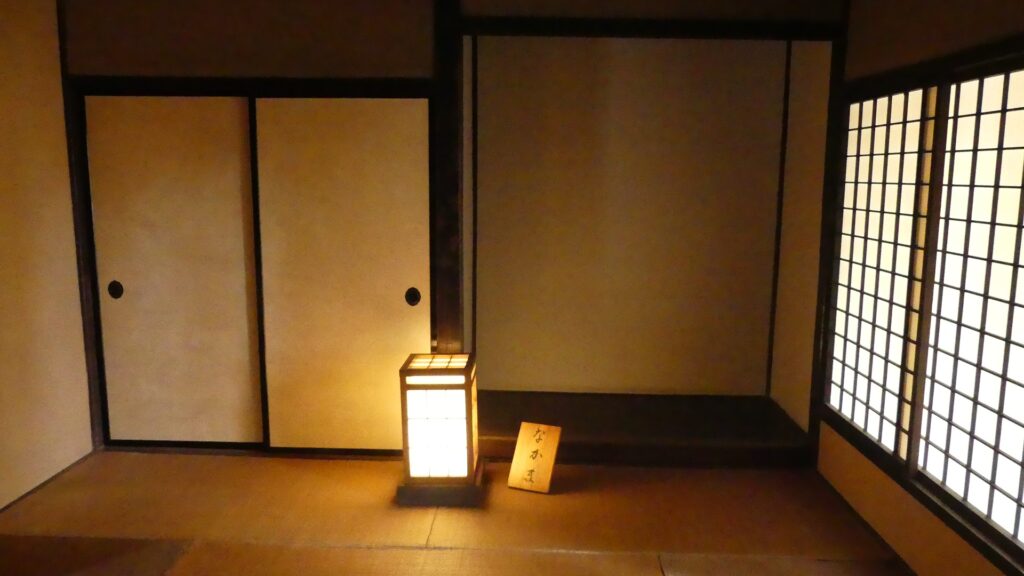
Many Historical Items in Main Enclosure
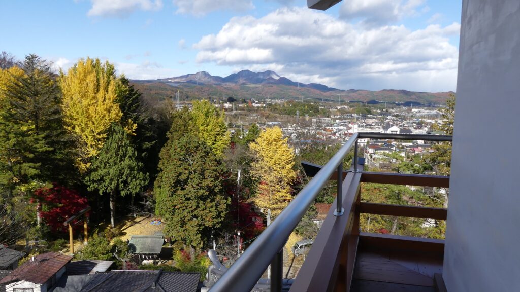
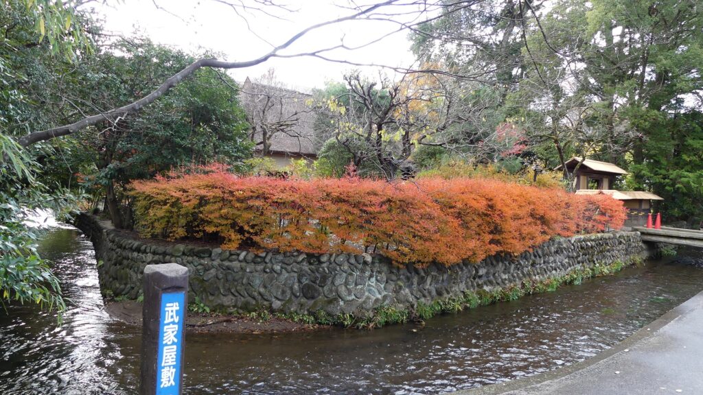
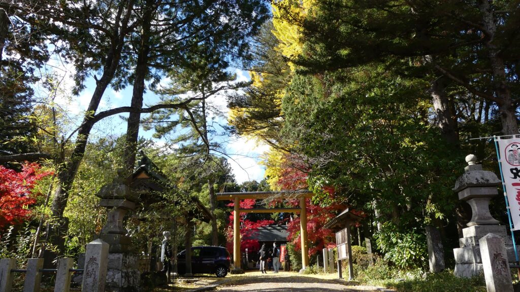
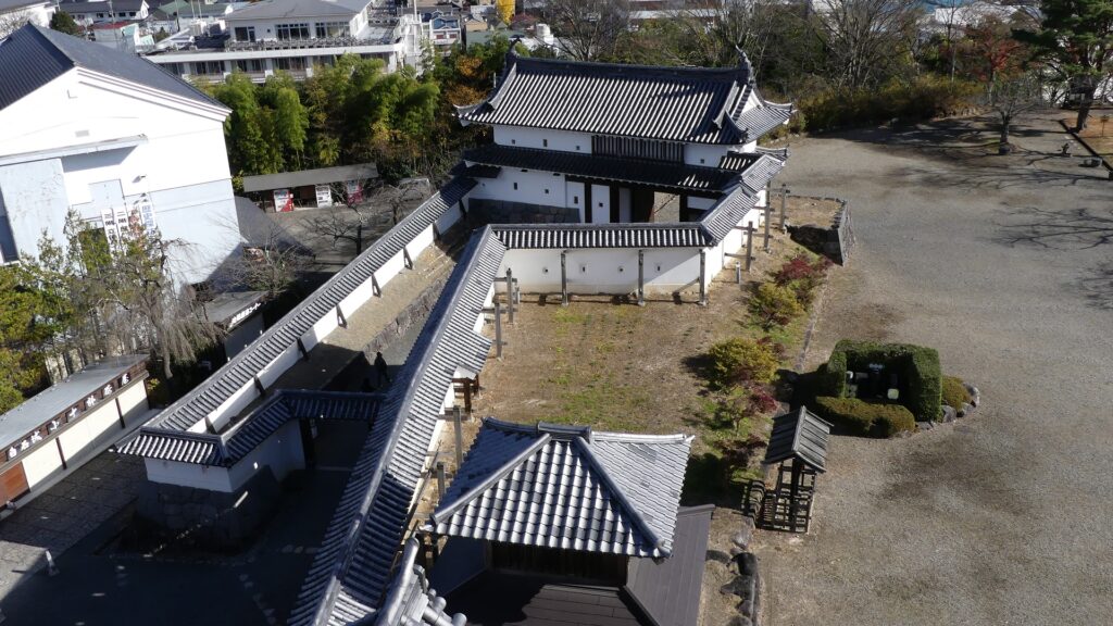
Today, the Shiroishi city area still has a traditional atmosphere of Shiroishi Castle and its castle town. This is probably because the Main Tower was restored on the hill and the old waterways are still intact in the city area. There were several enclosures on the hill in the past, but they were turned into shrines, parks, and playgrounds, excluding the main enclosure with the restored items.
A waterway in the city areaShinmeisha Shrine in the second enclosureThe Masuoka Park in the second enclosureA playground in Numa-no-maru Enclosure
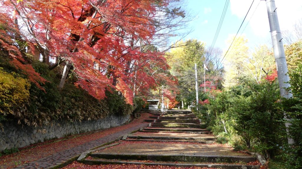
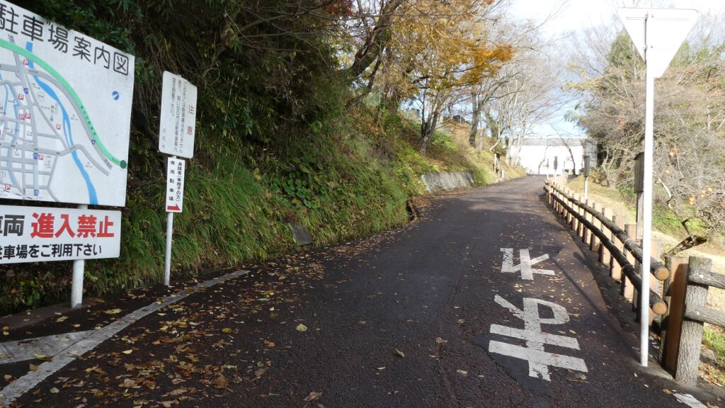
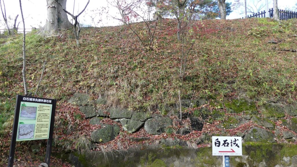
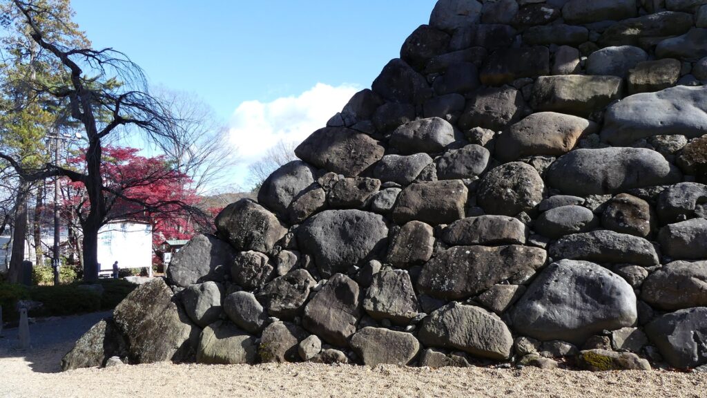
That’s why most visitors go to the main enclosure by walking on the eastern or northern slopes on the hill. If you take the eastern one, you will see the few remaining original stone walls at the base of the enclosure. The other stones above were all demolished and sold during the early Meiji Era. You will next see the restored stone walls which were piled up using natural large stones in Nozura-zumi method. They look mild rather than wild as most of the stones were round-shaped.
The map around the main enclosure
The northern slopeThe eastern slopeThe few remaining original stone wallsThe restored stone wallsThe walls were piled up using natural stones
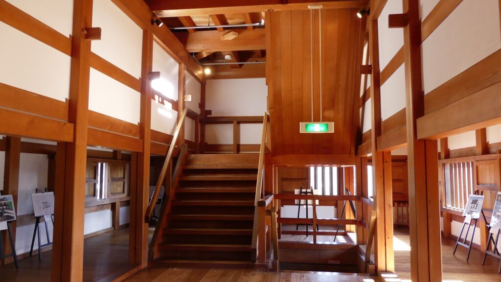
Well restored Main Tower and Main Gate
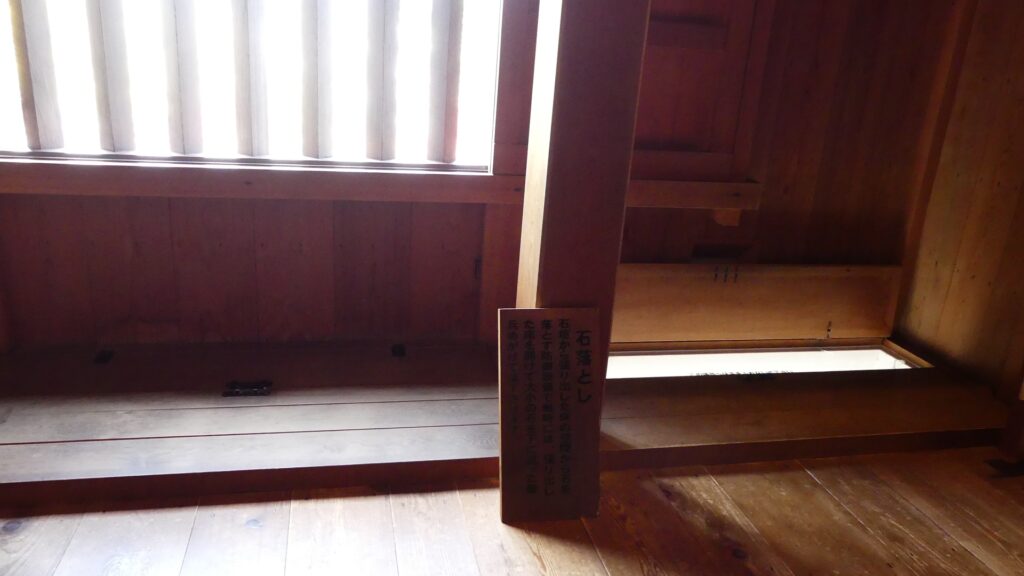
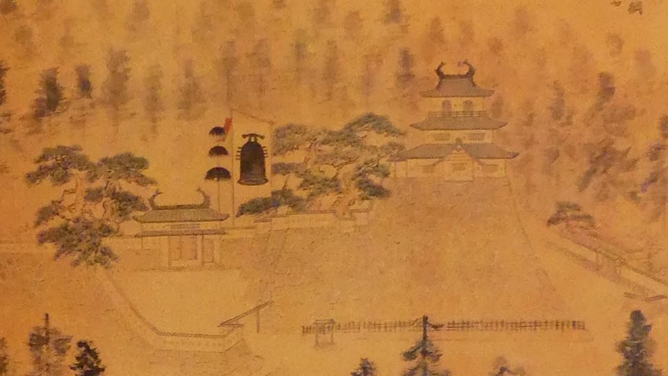
The restored three-level Main Tower is on the corner of the stone walls, which looks really great! Not only is it a symbol of the castle but also of the city. It could also had been seen as the authority of the lord as well as a threat to enemies when the original tower was there. In fact, there were three-generation towers on the walls during the Edo Period, which meant it had been rebuilt twice, according to the excavations. The current tower was restored on the second stone foundations because they remain in the best conditions. In addition, the appearance of the tower came from the third generation which was drawn in some pictures. The second and third ones are probably almost the same or similar since the third one was restored in 1823 after the second one burned in 1819.
The restored Main TowerPart of the Illustration of Shiroishi Castle, attributed to Unyo Koseki, owned by Shiroishi City, exhibited in the Main Tower
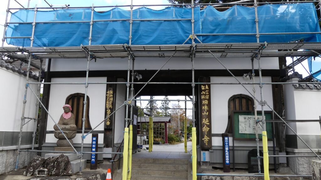
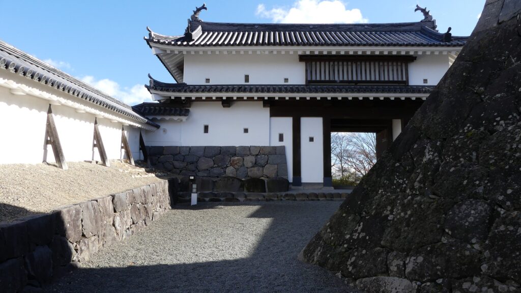
The main gate of the enclosure was also restored at the same time as the Main Tower. The gate consists of two gates and stone walls, which form a defensive space called Masugata. The Masugata systems in other castles are usually a square and closed space but that of Shiroishi Castle is very unique. The first gate is always open with no doors (according to the excavations so far) and the space inside is half occupied by a corner of the stone walls of the enclosure. Visitors can’t clearly see the inside, because it is blocked by the walls. That may be the reason for the first gate having no doors.
The first gateThe second gate is half blocked by the stone wallsThe Masugata system seen from the Main Tower
Other Ruins in Main Enclosure
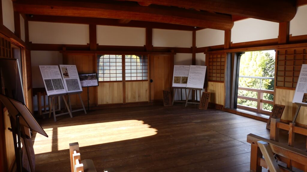
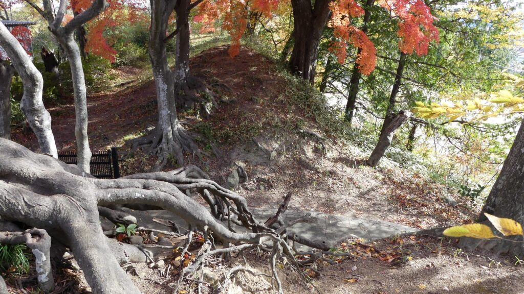
The inside of the main enclosure is empty with the signboard of the Main Hall which was built there. The other sides of the enclosure look like earthen walls which remained after the covering stone walls had been removed. There are the Back Gate Ruins on the opposite side of the Main Gate. There are also the ruins of Tatumi (southeastern) Turret and Hitsujisaru (southwestern) Turret at other corners of the enclosure.
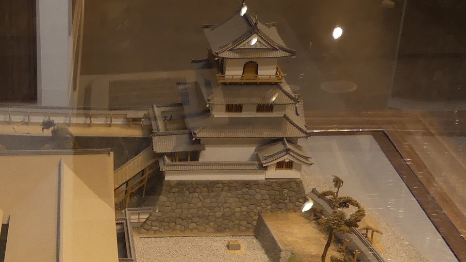
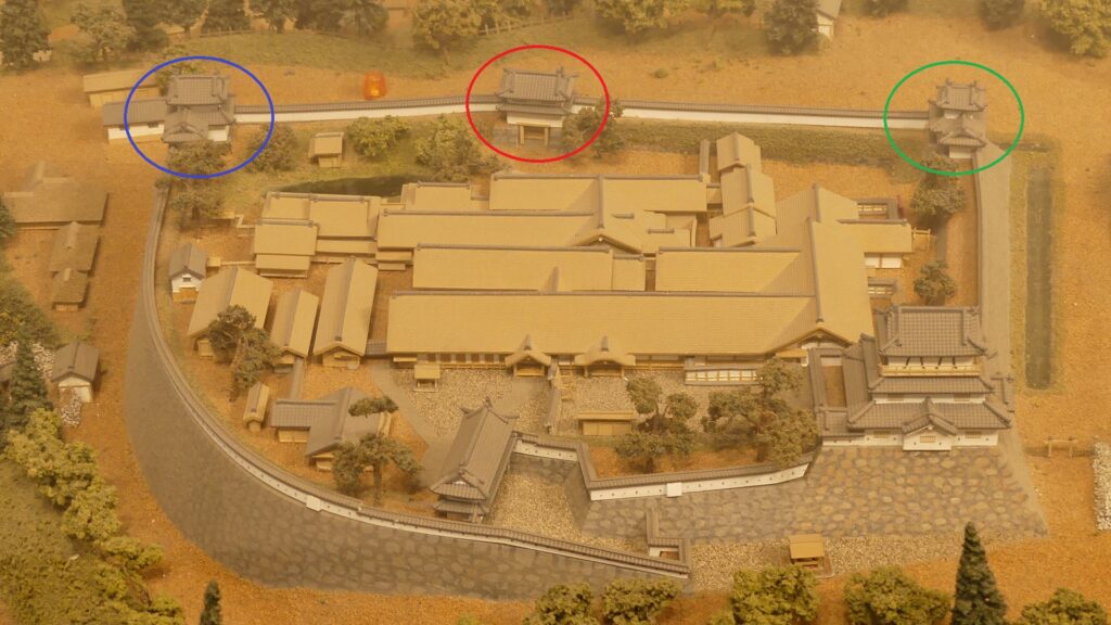
The ruins of the Back GateThe ruins of the Southeastern TurretThe ruins of the Southwestern TurretThe Back Gate is marked by the red circle, the Southeastern Turret is marked by the blue circle and the Southwestern Turret is marked by the green circle, in the miniature model exhibited by the Shiroishi Castle History Museum