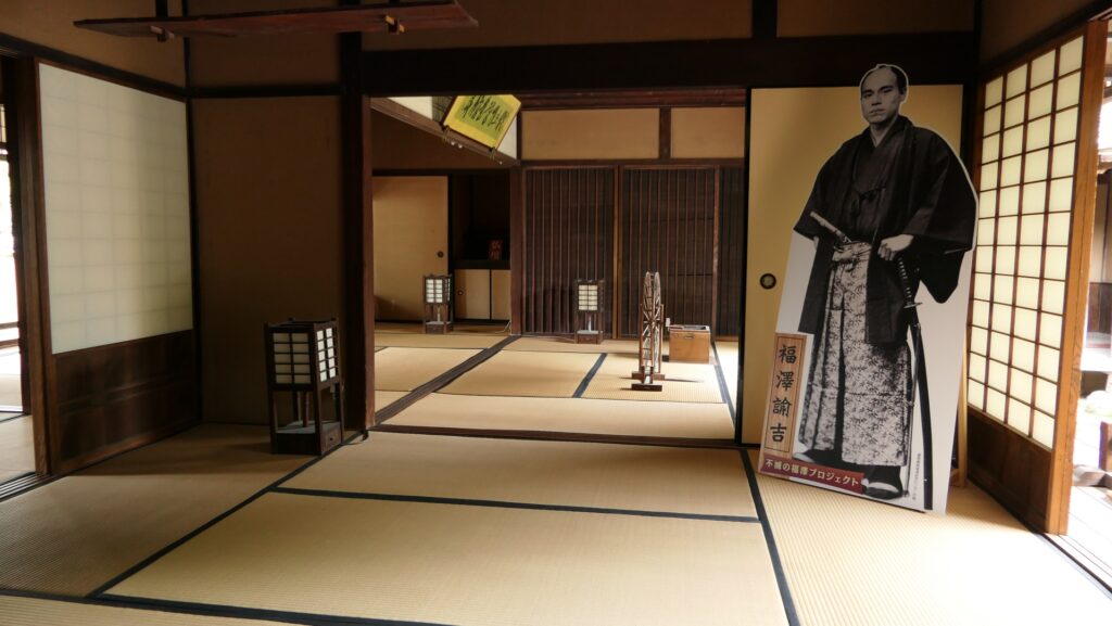
A big event for the Hitoyoshi area happened in 1877, when a hero of the restoration, Takamori Saigo started a rebellion against the government known as the Seinan War.
Features
Climbing to Moutain part
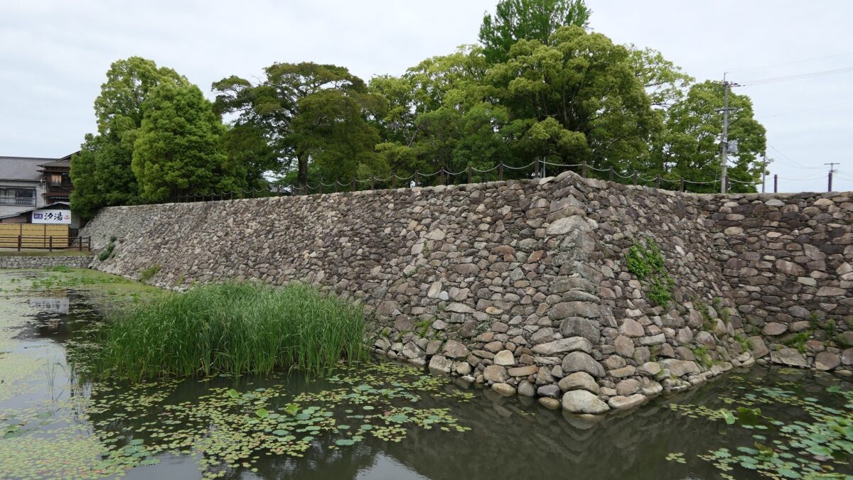
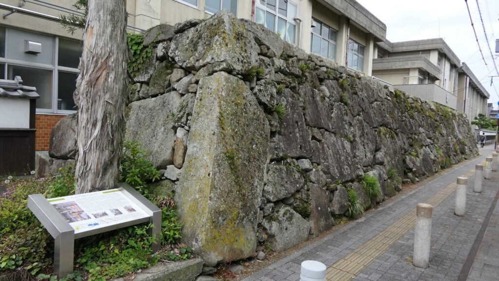
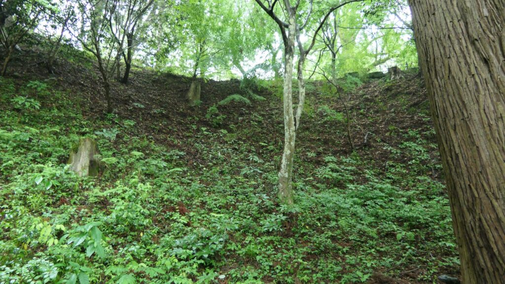
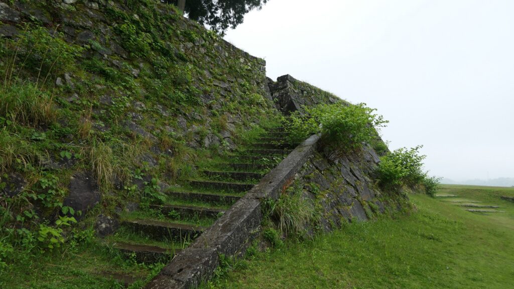
Next comes the hill area of the castle, which probably has existed since the first stage of it, but was modernized with stone walls in the later stage. There are no buildings but the foundations remain. You will climb the ruins of Oshita-mon or the Lower Gate which was the only entrance to the Third, Second, and Main Enclosures. You will need to climb wide stone steps and then turn right and walk around below the edge of the hill, where the defenders on the hill must have attacked enemies in the past.
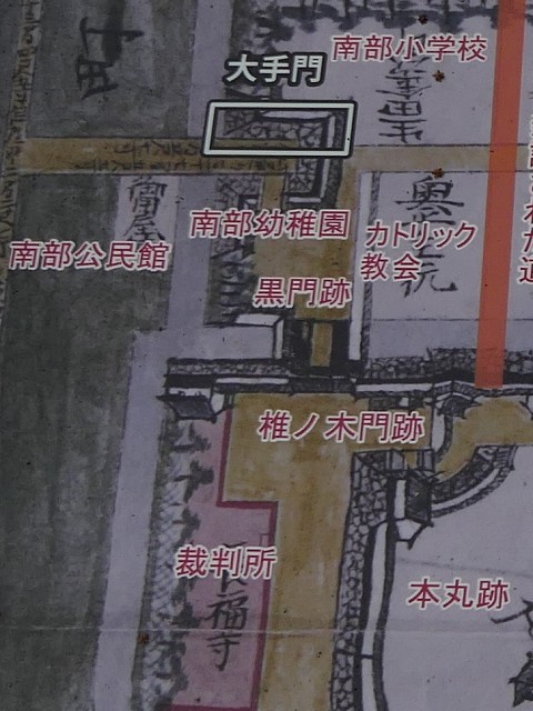
The map around the castle
The ruins of Oshita-mon GateClimbing the stone stepsEnemies must have been attacked from aboveThe path goes around below the hill
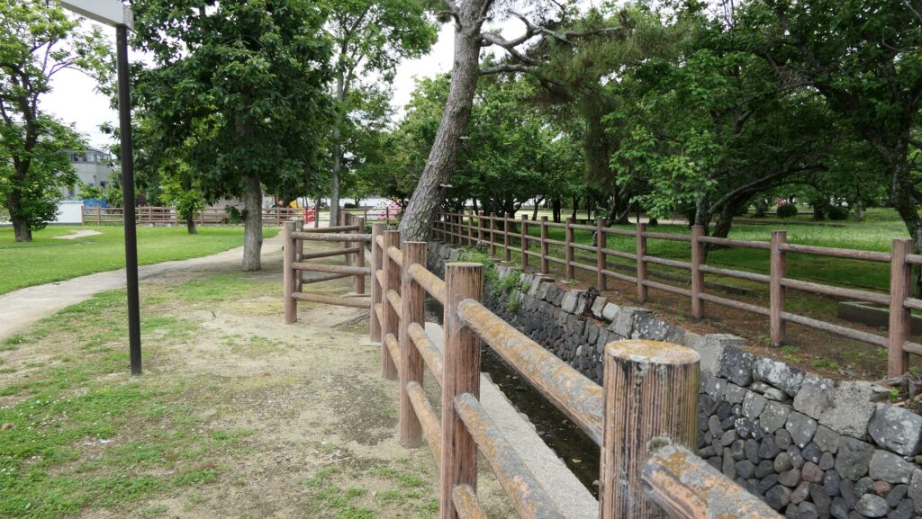
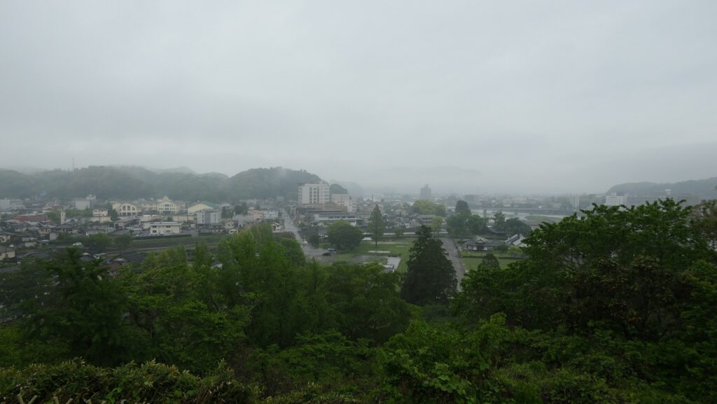
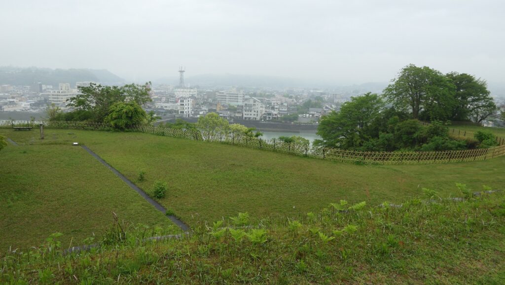
You will first be in the Third Enclosure which widely covers the edge of the hill. The enclosure has mostly been made of soil and a square since the castle was active. It may be a good viewing spot of the Hitoyoshi city area.
The Third EnclosureA view of the city area from the Third Enclosure
Going to Second and Main Enclosures
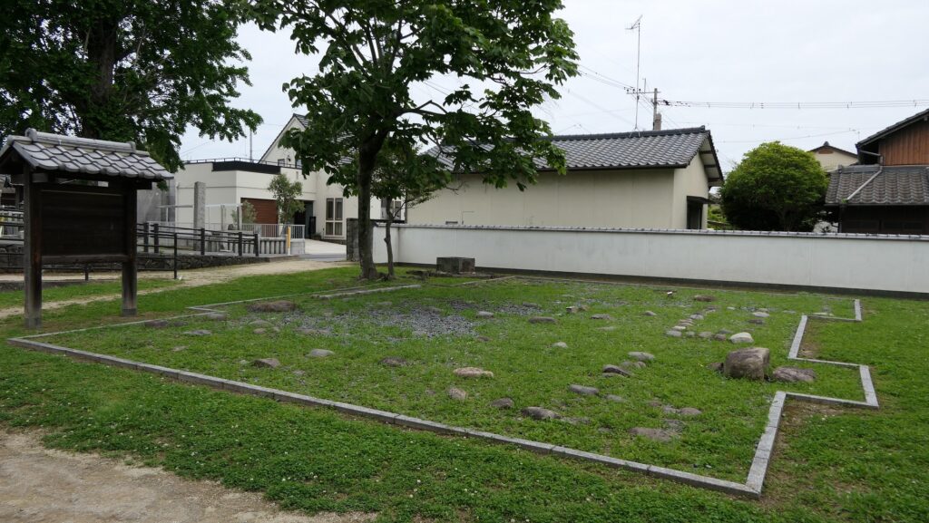
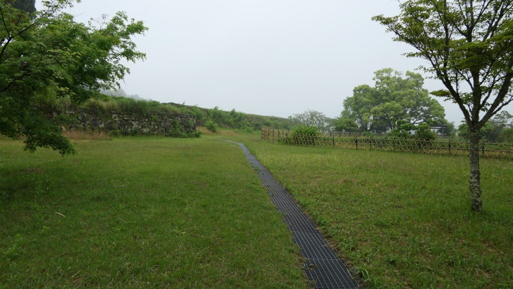
The Second Enclosure is higher than the Third Enclosure and surrounded by stone walls with two ruins of defensive gates, Nakano-gomon and Uzumi-gomon. This is because there was another Main Hall for the lord which had been considered as the center of the castle before the Mitachi hall was built below the hill.
The Second Enclosure seen from the Third EnclosureThe ruins of Nakano-gomon GateThe ruins of Uzume-gomon GateThe inside of the Second Enclosure
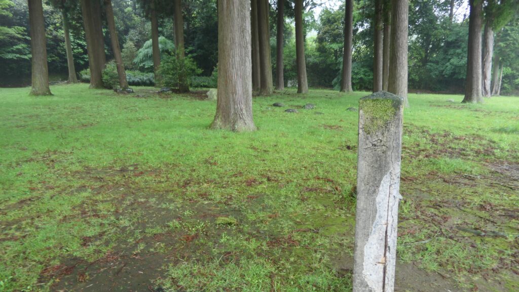
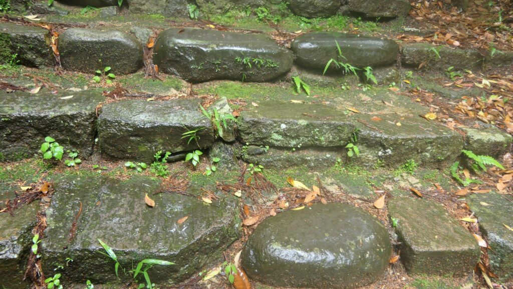
The Main Enclosure is the highest enclosure of the castle, but it is small and had no Main Tower. Instead, this enclosure seemed to be used as a religious spot of the Sagara Clan. Its stone steps and foundations have become curved which make us feel its long history.
The stone steps to the Main EnclosureThe inside of the Main EnclosureThe stone steps and foundations have become curved
Later History
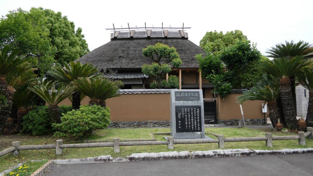
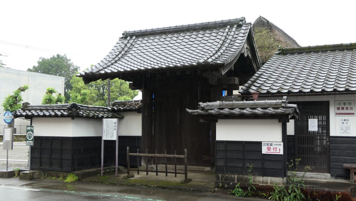
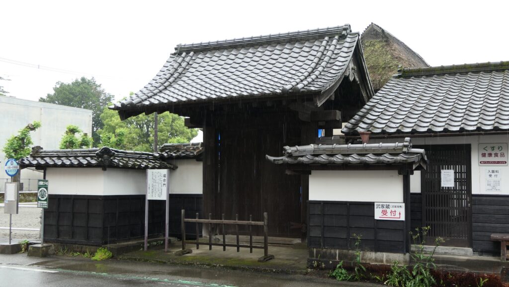
After the Meiji Restoration, Hitoyoshi Castle was abandoned and all the castle buildings were sold or demolished. Only one gate of the Main Hall, called Horiai-mon, was move to the residence of a senior vassal, the Shingu Clan and remains. A big event for the Hitoyoshi area happened in 1877, when a hero of the restoration, Takamori Saigo started a rebellion against the government known as the Seinan War. His troops started an attack on Kumamoto Castle from the south in Kagoshima, while many warriors of Hitoyoshi also joined the Saigo’s side as the Hitoyoshi Party. However, they failed to capture Kumamoto Castle and withdrew to the Hitoyoshi area. The party suggested for Saigo to go there because the area has natural defenses, surrounded by mountains.
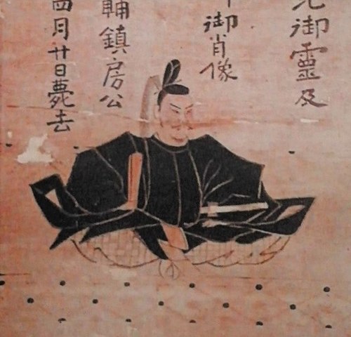
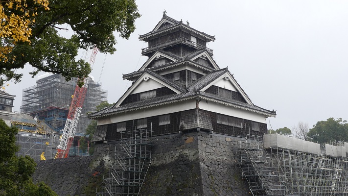
The Horiai-mon GateThe portrait of Takamori Saigo by Edoardo Chiossone (licensed under Public Domain via Wikimedia Commons)Kumamoto Castle
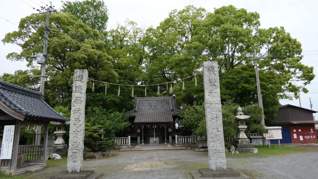
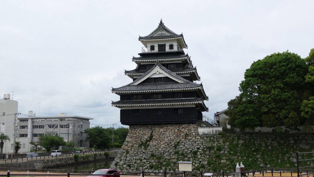
Saigo’s headquarters was at the Eikokuji Temple in the area and his staff stayed in the Shingu Clan’s residence. They thought they would be able to hold the area for a long period of time, but the response of the government army was prompt. A gun battle occurred between the army in the north and the Saigo troops in the south, binding the Kumagawa River. The Saigo troops shot from around the Third Enclosure of Hitoyoshi Castle on the hill, however, the shot did not reach the enemy because their guns were outdated. As a result, Saigo withdrew again to other places and was eventually defeated at Kagoshima Castle, his home base. The Hitoyoshi Party surrendered before then.
The map aound the castle
The Third Enclosure of hitoyoshi Castle, where the Saigo troops set their butteriesThe ruins of Kagoshima Castle
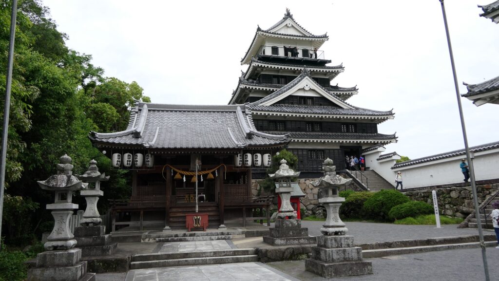
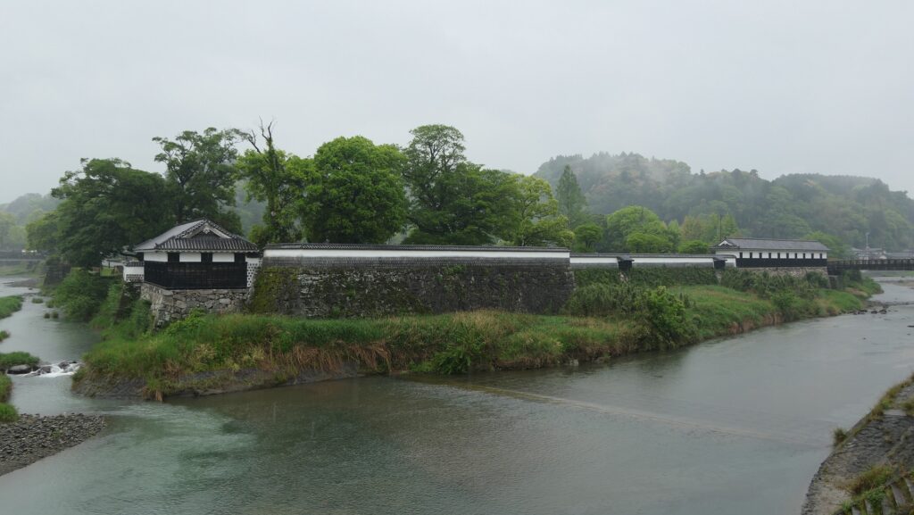
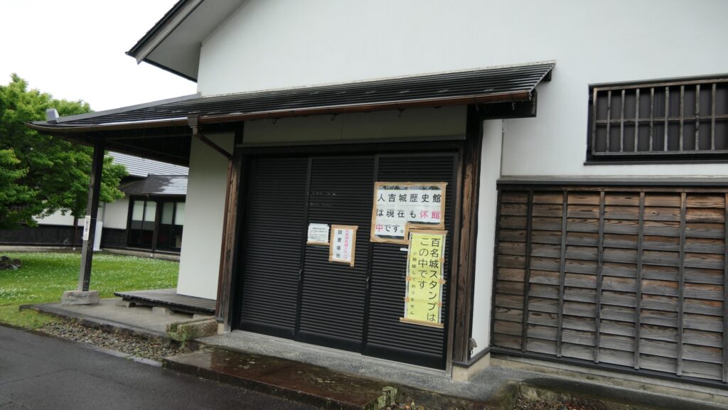
As castle ruins, they have been developed as Hitoyoshi Castle Park and were designated as a National Historic Site in 1961. Some castle buildings at the riverside, such as Sumi-Yagura or the Corner Turret and Otemon-waki-Tamon Yagura or the row-style turret beside the Main Gate, were recently restored. The Hitoyoshi Castle History Museum opened in 2005 but is currently closed as mentioned in the previous section.
The restored castle buildingsThe closed Hitoyoshi Castle History Museum
My Impression
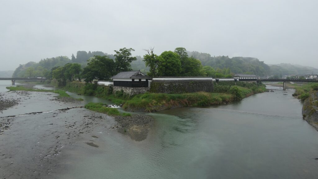
I was very impressed by the great view of Hitoyoshi Castle Ruins with a large stream of the Kumagawa River. I understood nature could provide not only good things like the terrain for the castle but also bad things like disasters. I really hope that the castle ruins will be completely repaired soon and would like to visit their again so that I will be looking forward to seeing the mysterious basement in the museum and walking over the castle ruins to see larger area of the first stage of the castle.
The panorama view of Hitoyoshi Castle Ruins from a bridge over the Kumagawa River
How to get There
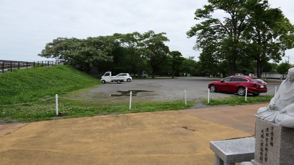
If you want to visit the castle ruins by car, it is about a 10-minute drive away from Hitoyoshi IC on the Kyushu Expressway. There is a parking lot for visitors in the castle ruins. If you want to use public transportation, it takes about 20 minutes on foot to get there form JR Hitoyoshi Station. From Tokyo or Osaka to Hitoyoshi Station: Get an express bus from Kagoshima Airport or Sin-Yatsushiro Station of the Kyushu Shinkansen super express, get off at the Hitoyoshi IC bus stop, and transfer to the Sanko bus bound for the station.