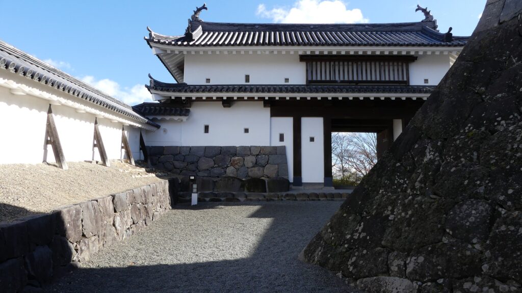
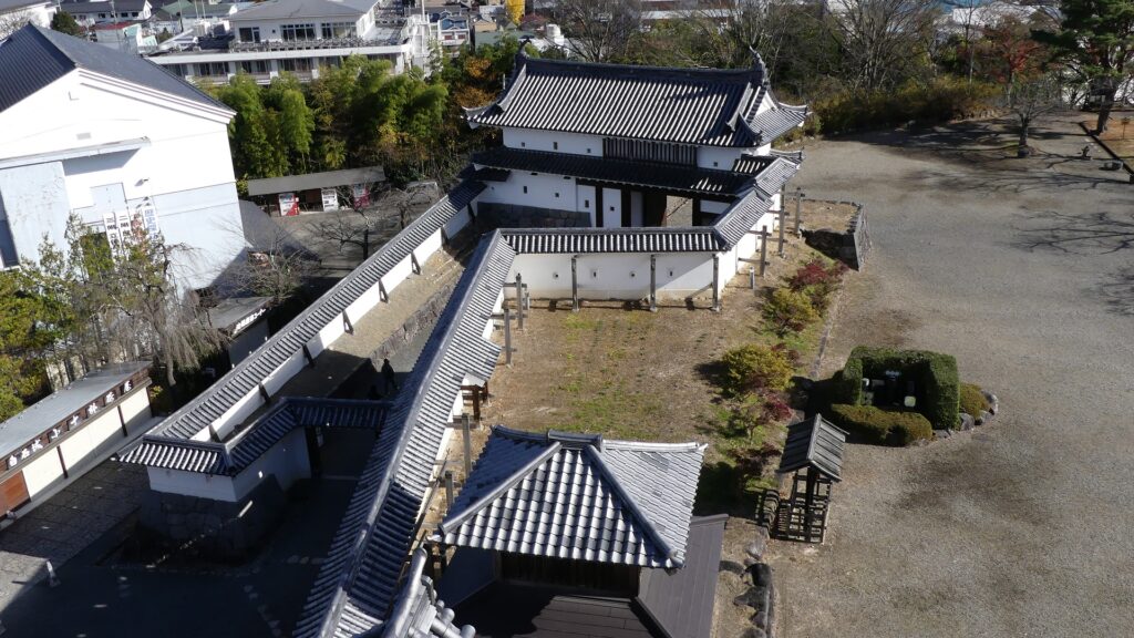
Features
My Impression
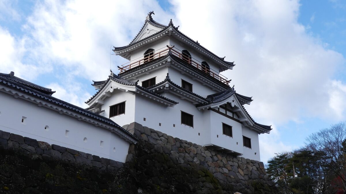
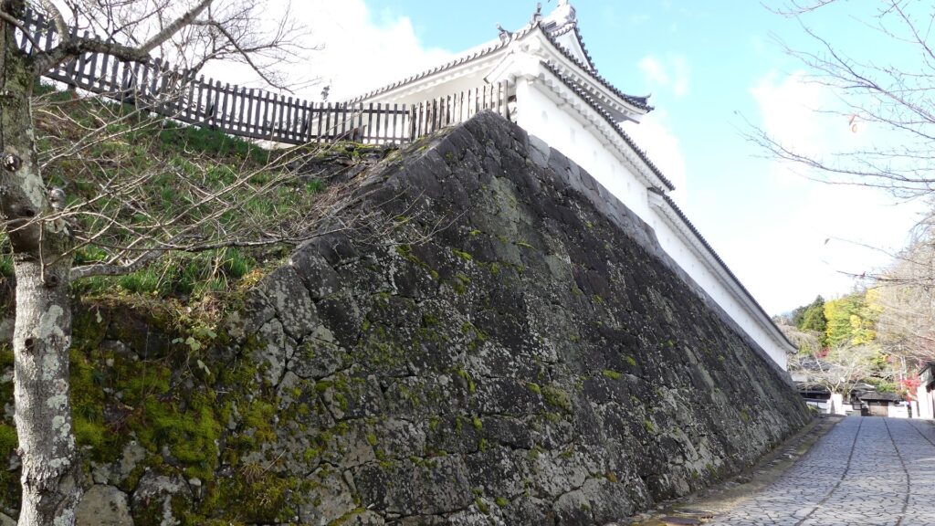
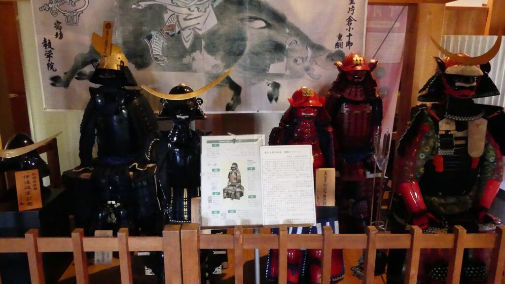
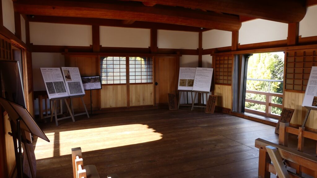
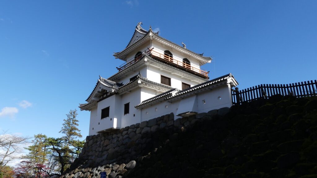
Interior of Main Tower
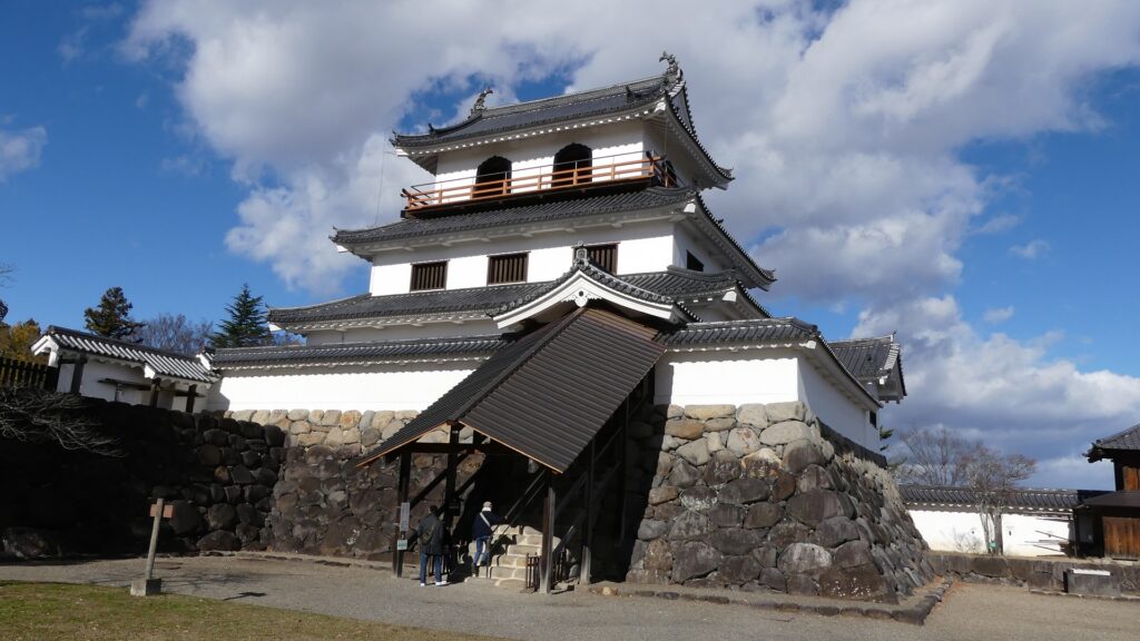
You can enter the Main Tower from the inside of the enclosure by climbing the roofed stone steps. In fact, the steps were used only for the lord of the domain, the Date Clan, like their private rooms in the Main Hall of the enclosure. The others used the side entrance in the connecting tower next to the Main Tower.
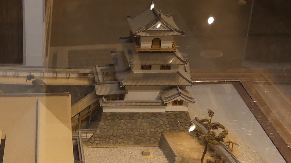

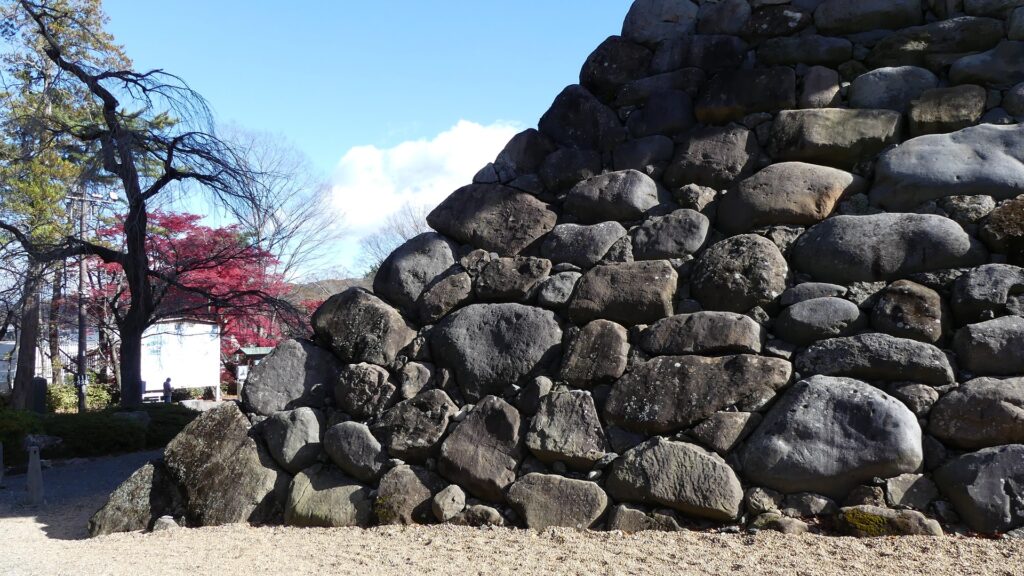
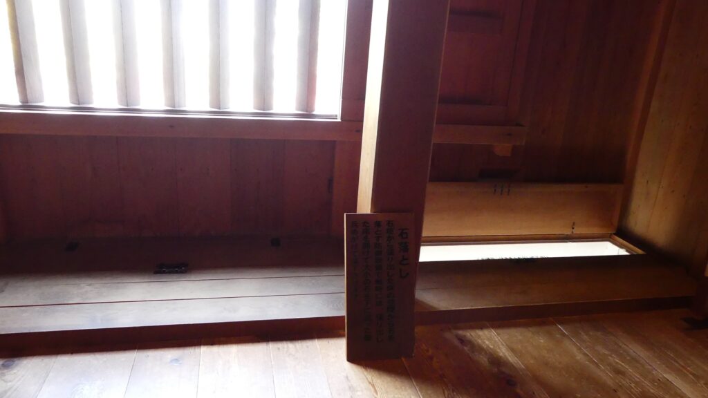
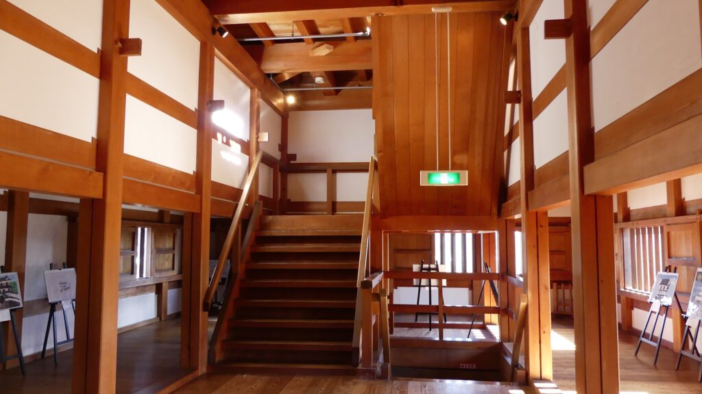
The tower has three floors, which were all wooden in a traditional manner. Its columns are made of Japanese Yoshino cypress which would be usable for about 250 years. The design of the first floor was discovered by the excavations, so the floor has the storage space in the center and the surrounding defense passage. Defense systems like machicolations, loopholes, and lattice windows, are built along the passage or on the walls.
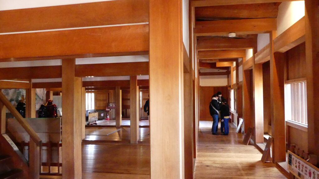

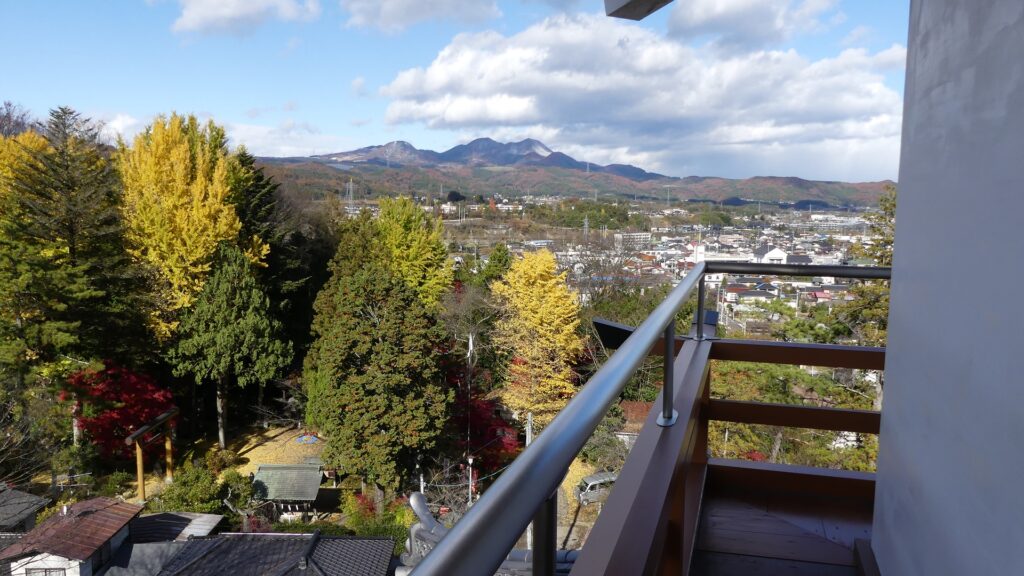
The steps to the upstairs are very steep, but more gentle than the original and you can use modern handrails for support. The second and top floors are designed by the builder’s assumption because there was no evidence of them, but are orthodox. The top floor was built as a lookout position, which is probably a fact and a good viewing spot for the current visitors.

Attractions of Castle Town
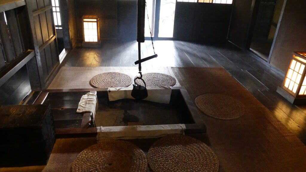
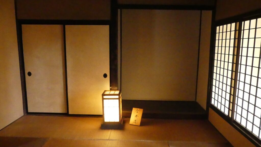
You can also visit other attractions regarding Shiroishi Castle in the former castle town. First of all, there is a remaining Samurai Residence in the former third enclosure, in the north of the castle. The residence was confirmed to be built in 1730. The Koseki Clan, one of the middle-class warriors under the Katakura Clan, lived in it for a long time. Their descendants also lived in it until 1991 before they donated it to the city. The city restored it to its original conditions and opened it to the public the following year.
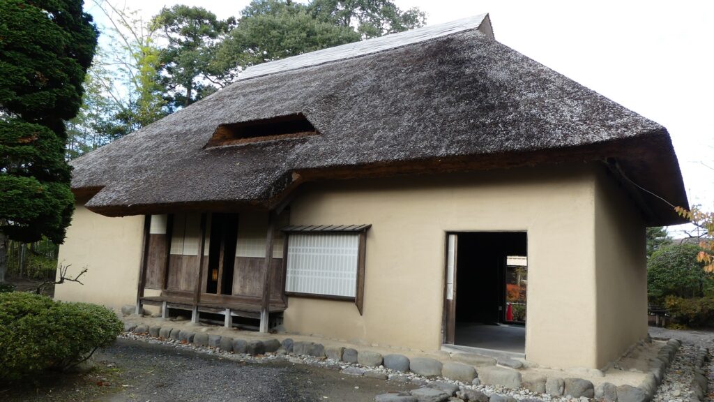
The residence is small and simple with a thatched roof and four rooms ( 2 wooden floors, 1 earthen floor, amd 1 Tatami matted floor). This was probably because the warriors in Shiroishi had lower incomes than those who directly served the Date Clan. However, the Sawabata River flows along two sides of the residence, which is a very good location.
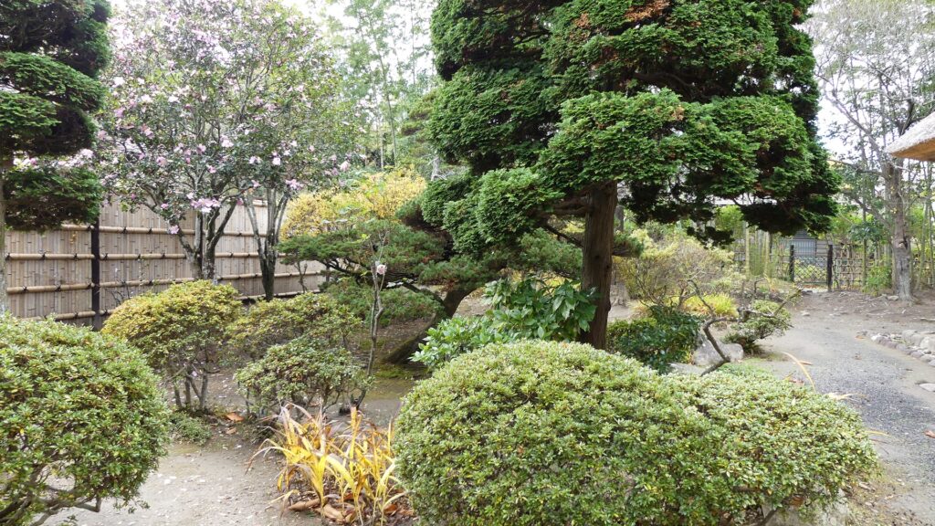
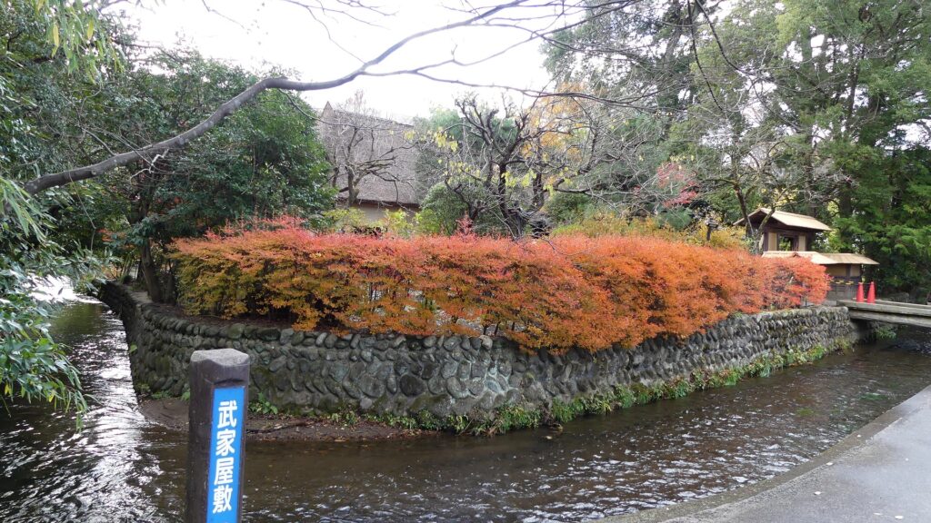
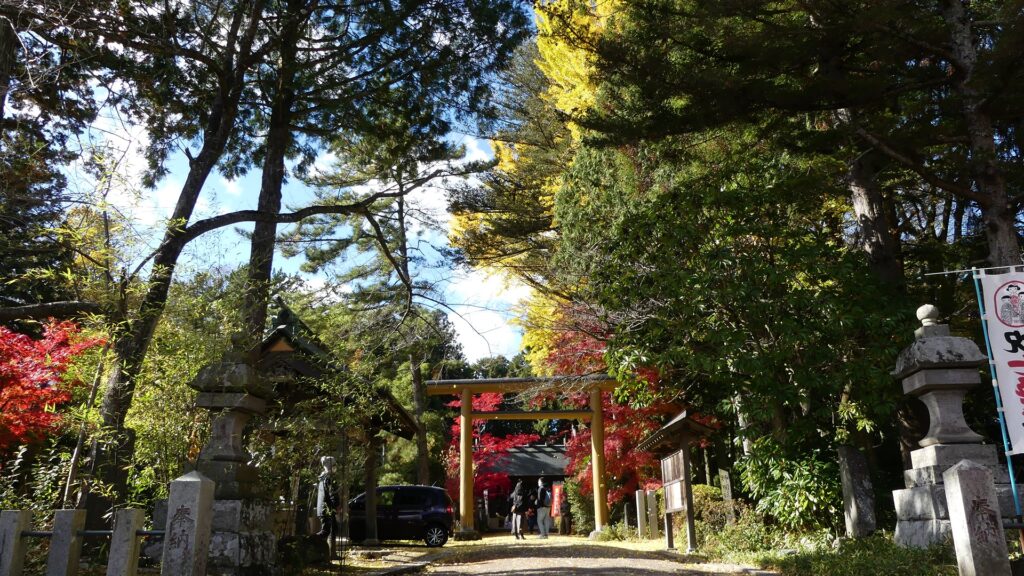
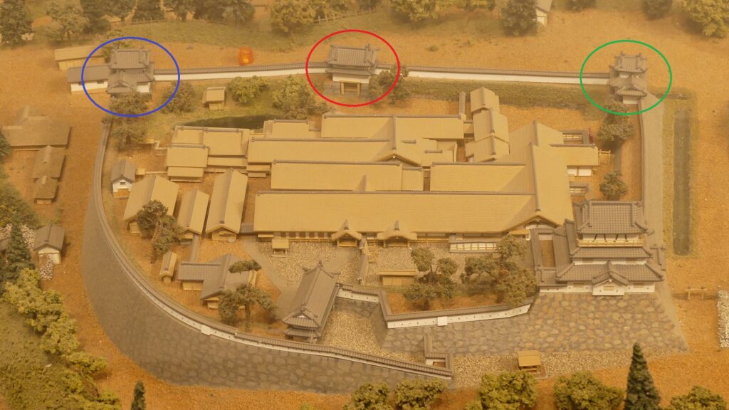
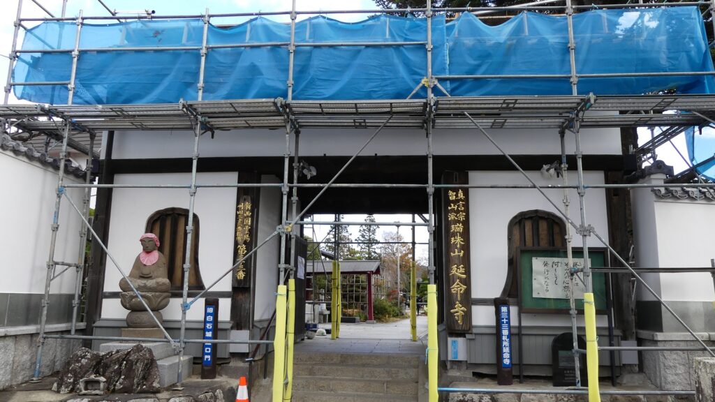
Other than that, you can walk along the waterways and find the two moved castle gates in Toshinji and Enmeji Temples.

My Impression
Overall, Shiroishi Castle survived thanks to the two exemptions. One is that of the Law of One Castle per Province (or the lord’s territory) by the shogunate during the Edo Period. The other is that of Japan’s Building Standard Act in the present time. In addition, I think we would not be able to see the Main Tower of the castle without the great contributions of the Katakura CLan and the current Shiroishi people.
How to get There
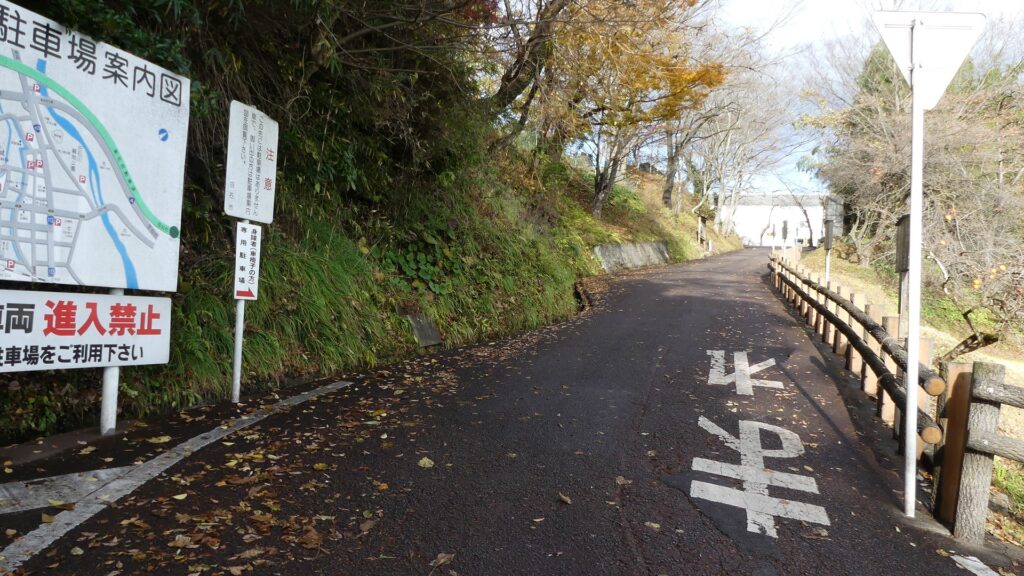
If you want to visit there by car, it is about a 10-minute drive away from Shiroishi IC on the Tohoku Expressway.
There is a parking lot at the eastern foot of the hill called “Joka-hiroba”.
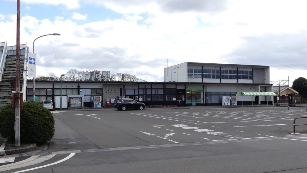
By public transportation, it takes about 15 minutes on foot from JR Shiroishi Station or it takes about 5 minutes by taxi from Tohoku Shinkansan Shiroishi-Zao Station.
From Tokyo to Shiroishi Station: take the Tohoku Shinkansen super express and transfer to the Tohoku Line at Fukushima Station.
That’s all. Thank you.
Back to “Shiroishi Castle Part1”
Back to “Shiroishi Castle Part2”