According to Historians, The 47 Ronin assaulted Kira due to their Samurai Spirit. If it’s true, why is the story still so popular among many current Japanese people?
Features
Many Attractions in Main Enclosure
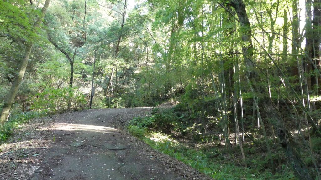
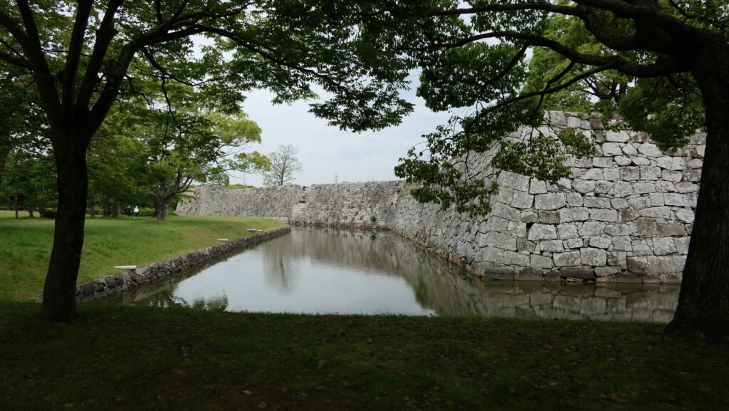
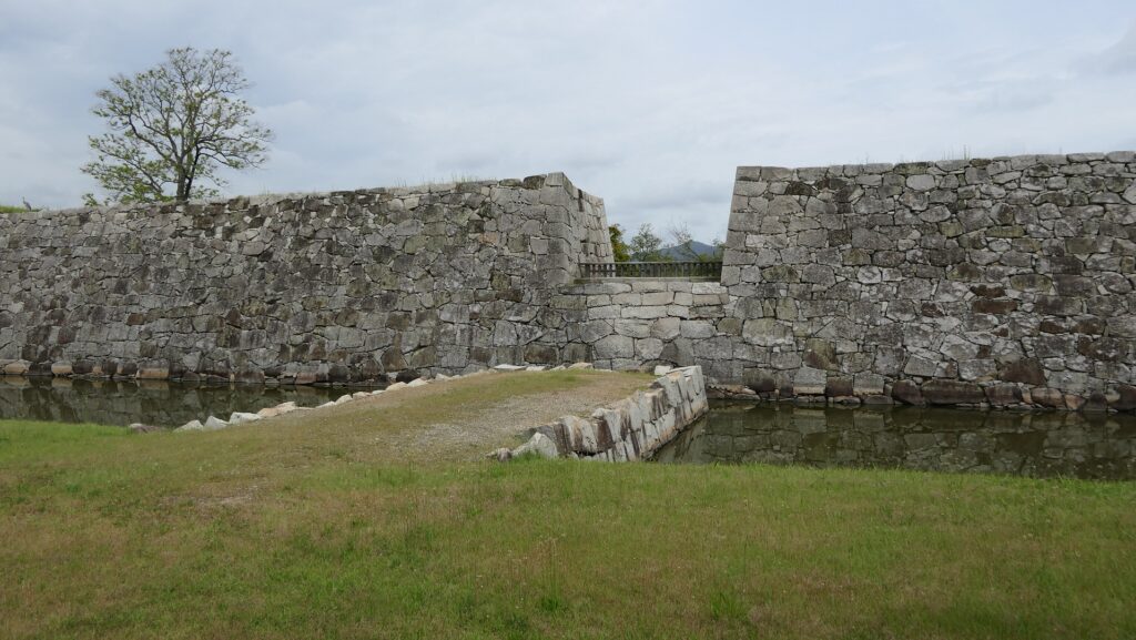
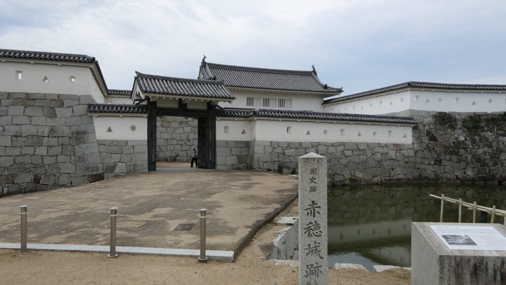
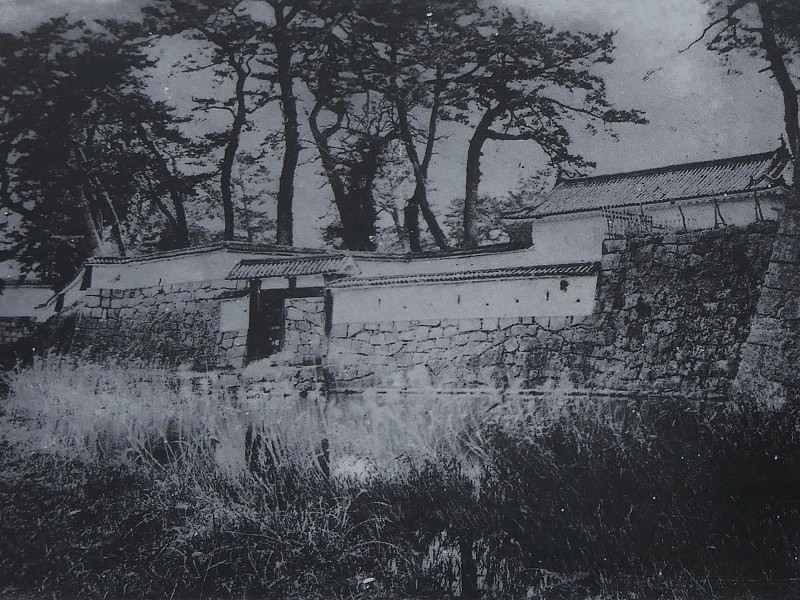
The Main Enclosure is compact and all surrounded by stone walls and water moats, so you can easily see its complex layout. There are three entrances to it but only two of them are available excluding Hanebashi-mon (meaning Draw Bridge Gate) in the back of the southern side.
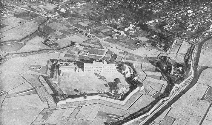
The aerial photo around the Main Enclosure of the castle, the red markers indicates its three entrances
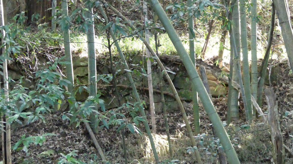
The stone walls and water moats of the Main EnclosureThe ruins of the Draw Bridge Gate
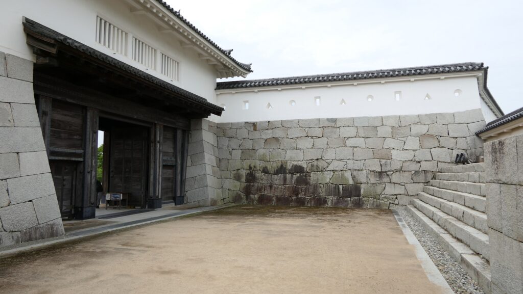
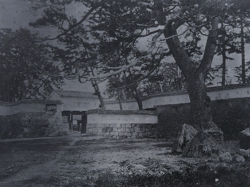
The front gate of the northern side was restored and has the Masugata system as well.
The front gateThe inside of the Masugata system
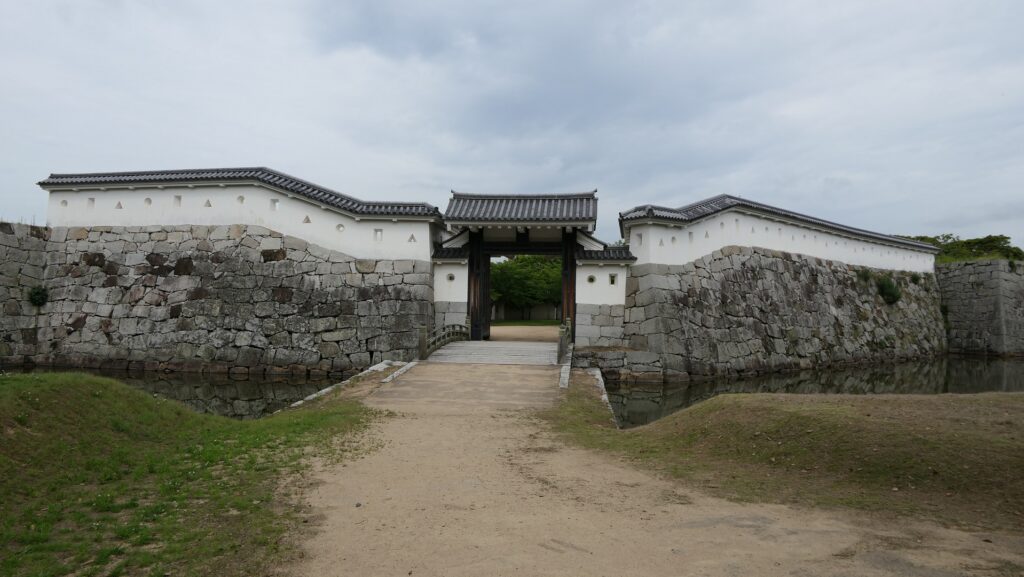
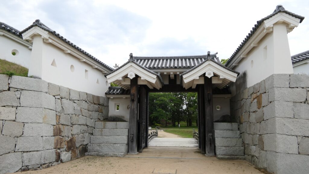
The other one of the eastern side, called Umaya-guchi-mon (meaning Stable Side Gate), was also restored. The gate was simple but the stone walls around are bent elaborately to protect the gate from guns and arrows from the walls.
The front side of the Stable Side GateThe back side of the Stable Side Gate
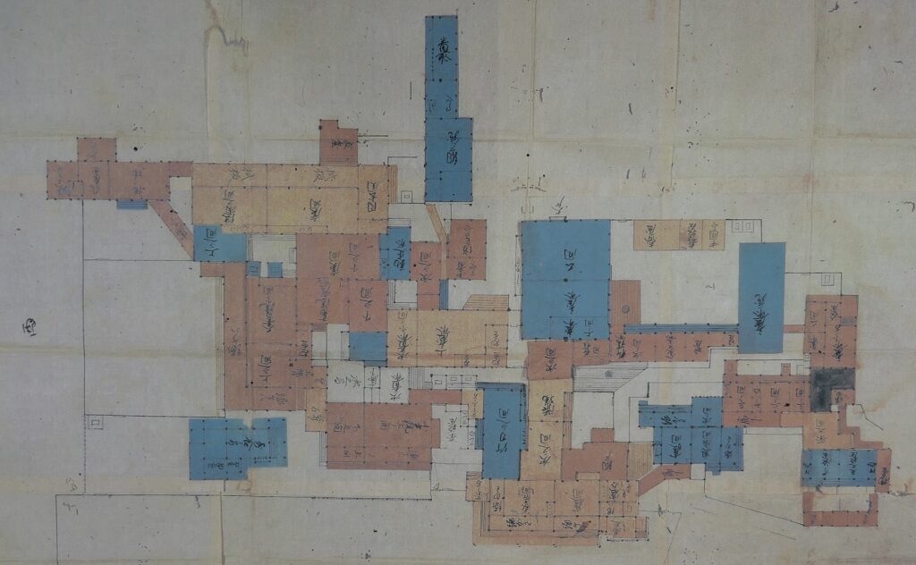
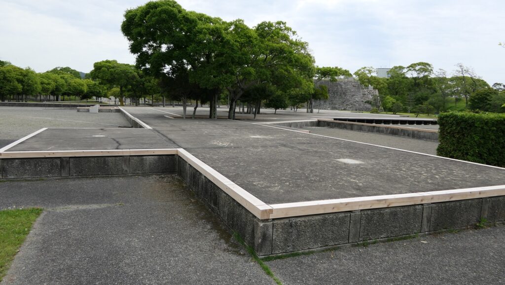
There was the Main Hall inside where the lords including Asano (Takumi-no-kami) lived. Now, there is a flat exhibition of the hall instead, where you can see its layout and what rooms were in it.
The layout of the Main Hall drawn in the illustration during the Edo Period, from the signboard at the sitethe flat exhibition of the layout
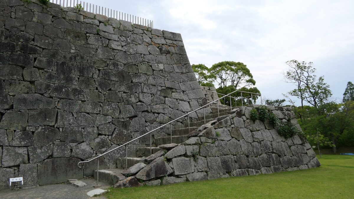
The large stone wall base for a Main Tower stands out at its corner and you can climb it and see the view of the area around from the top.
The Main Tower baseA view from the top of the base
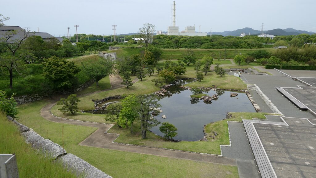
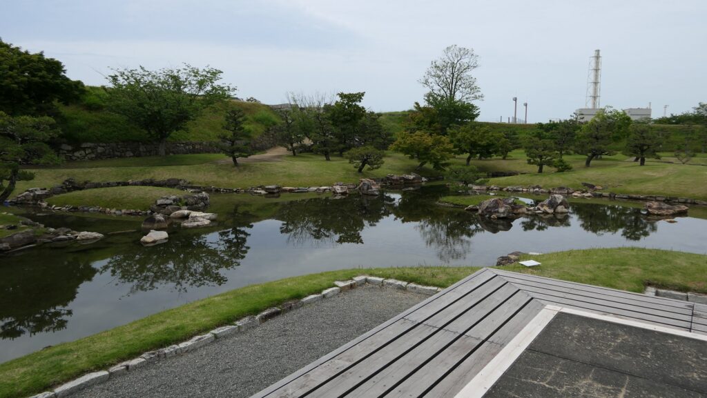
There is also a small but beautiful pond garden which is designated as a National Place of Scenic Beauty, together with that of the Second Enclosure.
The pond garden
Later History
After the Meiji Restoration, Ako Castle was abandoned and all the castle buildings were sold or demolished. Most of the moats were buried and turned into fields and residences area with other castle’s land. The Main Enclosure was used as a school until 1981. The Oishi Shrine was established in 1912. The restoration of the castle started in 1935 where the moats in front of the Main Enclosure were re-dug. Since then, many other buildings and structures of the castle have been restored probably because of the popularity of the incident and Ronin. The ruins have been designated as a National Historic Site since 1971.
The old photo of the Main Enclosure front gate, from the signboard at the siteThe old photo of the Second Enclosure gate, from the signboard at the siteThe ruins of Ako Castle in the 1930’s (licensed under Public Domain via Wikimedia Commons)
My Impression
I honestly say I don’t like the Ako Incident story because there was no good reason for killing Kira (in addition, in the very popular play “Chushin-gura” based on this incident, Asano cuts Kira at the front (in fact, it was from the back) after Kira’s bullying due to Asano refusing the huge bribe or Asano’s wife refusing Kira’s love). Historians say this was done due to Bushi-do (the Samurai Spirit) which refers to their devotion to their master or domain with honor and pride even without any reasons. If it’s true, why is the story still so popular among many current Japanese people? I guess it’s because they still have the same or similar devotion to Samurai in the Edo Period as they sometimes look devoted to their boss or company without any reasons to survive. I also speculate that Oishi might have understood his master was mad but he didn’t have any other choice.
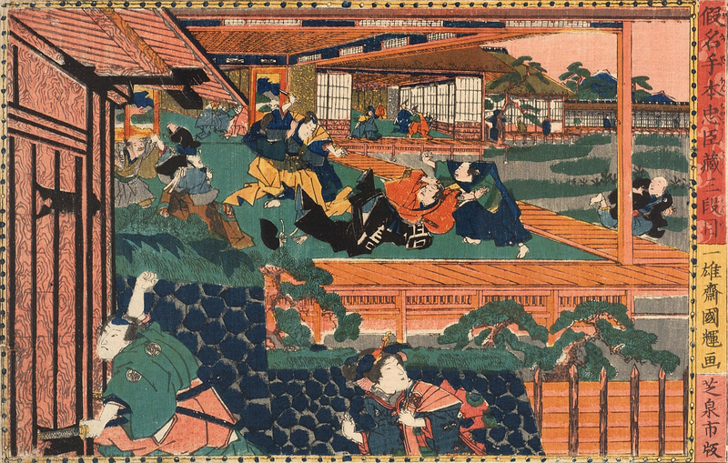
A Ukiyoe-painting of Asano assaulting Kira in the Edo Castle, attributed to Kuniteru Utagawa (licensed under Public Domain via Wikimedia Commons)
How to get There
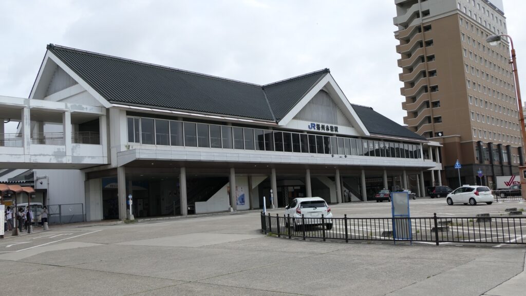
If you want to visit there by car, it is about a 10 minutes’ drive away from Ako IC on the Sanyo Expressway. There are several parking lots around the castle ruins. By public transportation, it takes about 15 minutes on foot to get there from JR Banshu-Ako Station. From Tokyo or Osaka to the station: Take the Sanyo Shinkansen super express express and transfer to the Sanyo Line at Himeji Station or the Ako Line at Aiou Station.