Features
Largest Enclosure in back
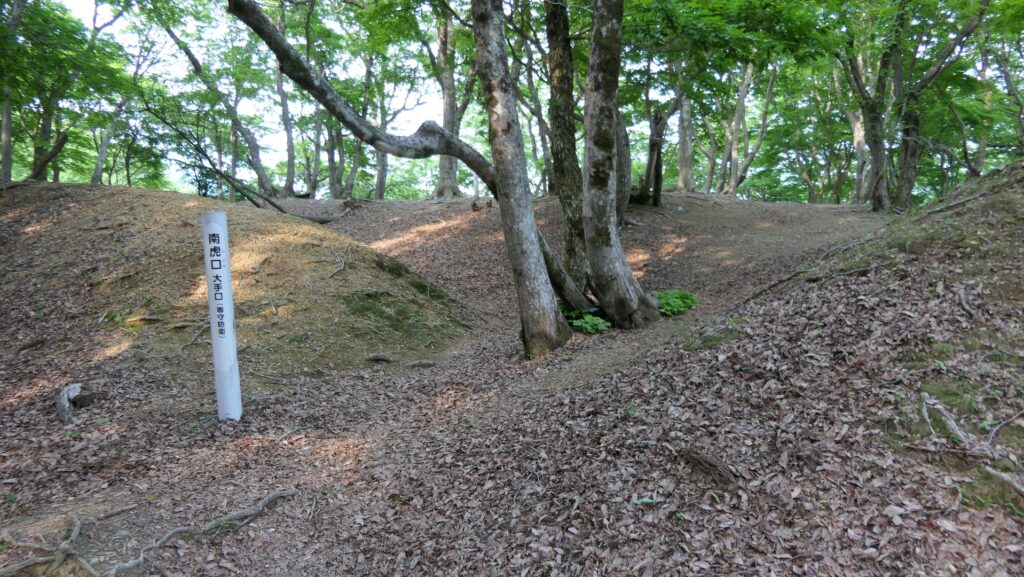
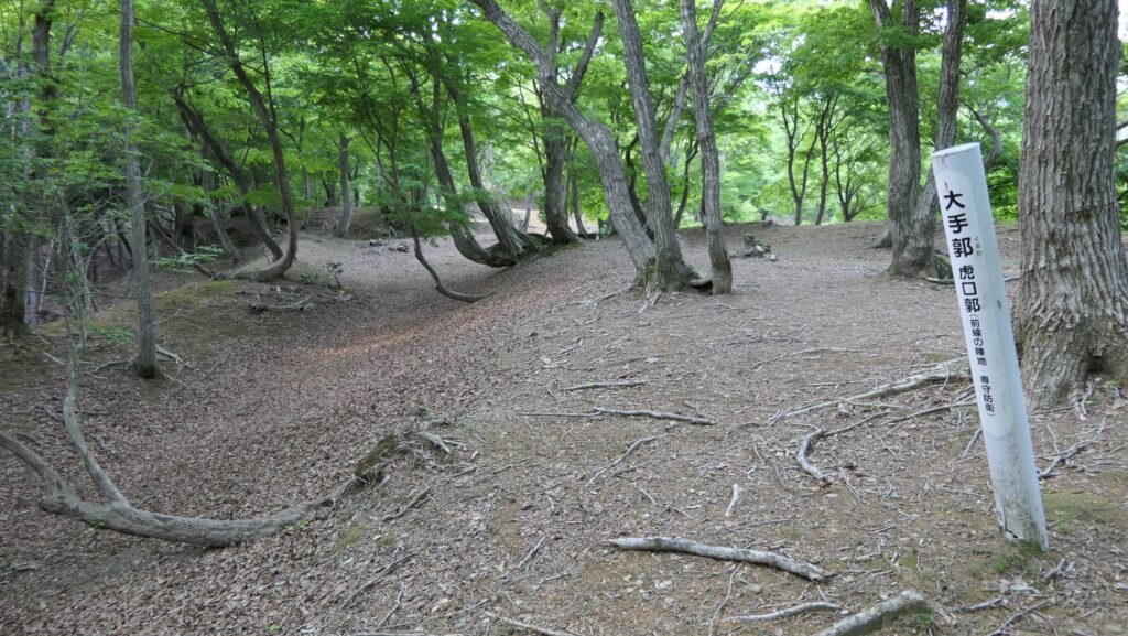
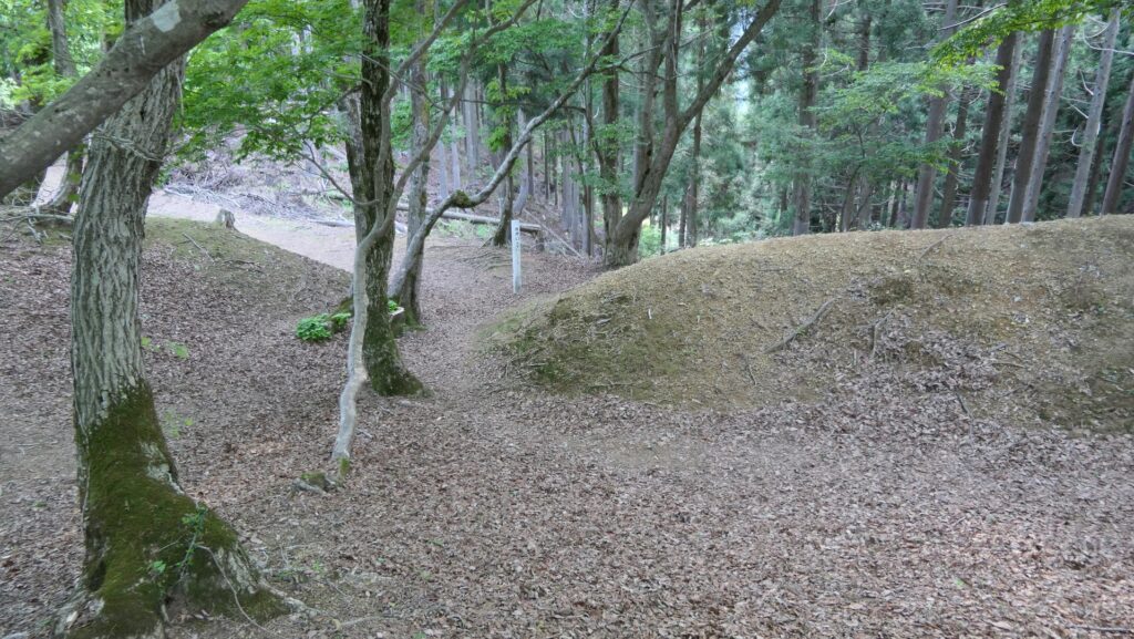
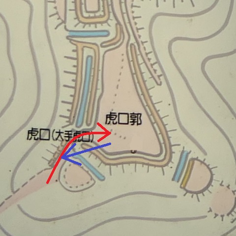
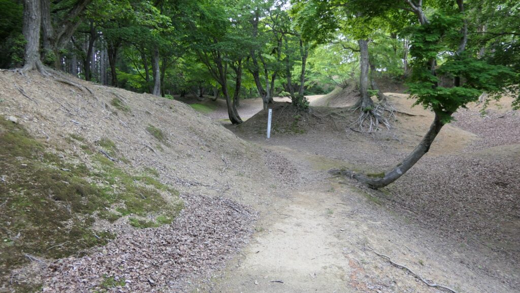
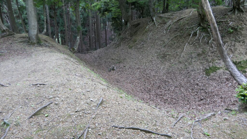
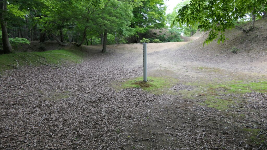
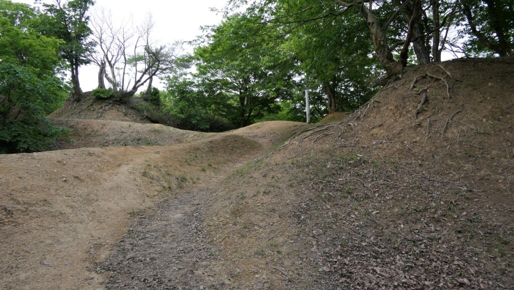
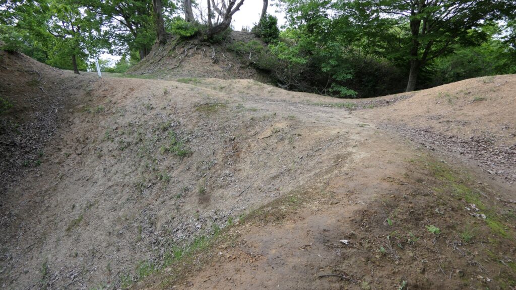
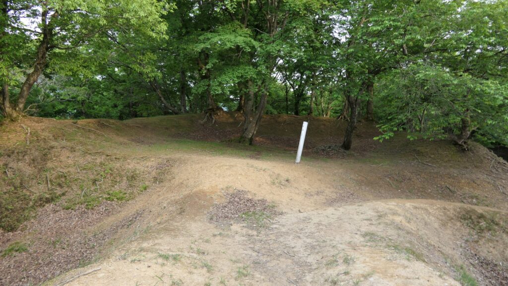
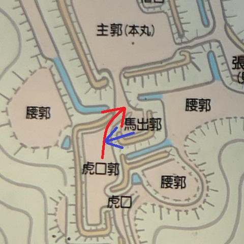
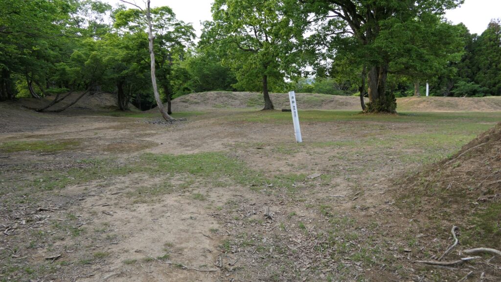
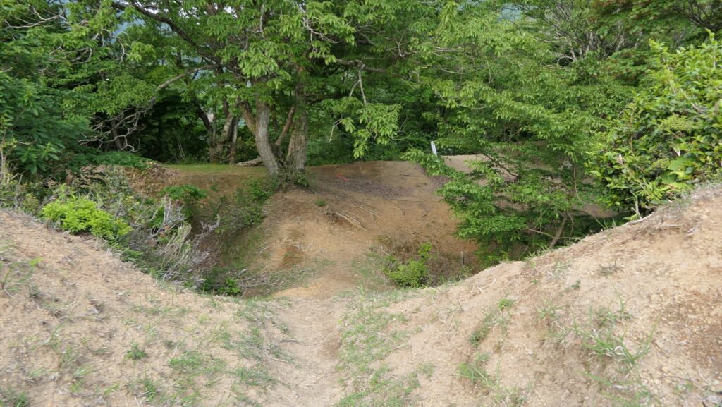
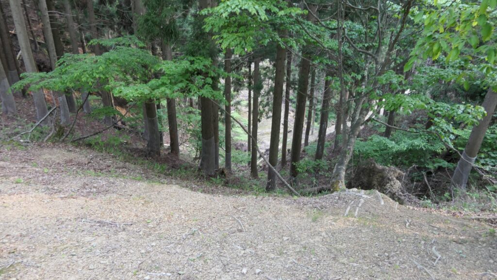
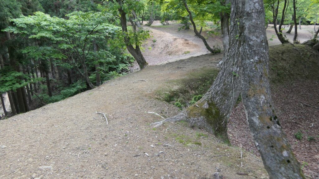
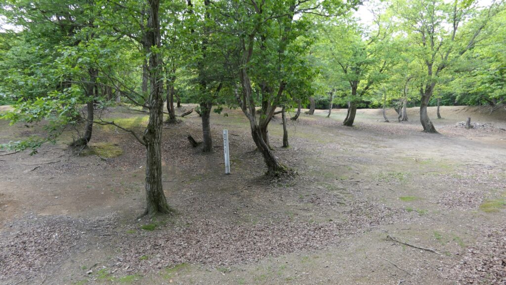
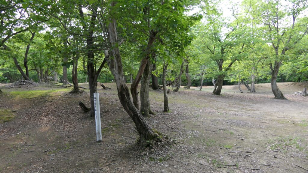
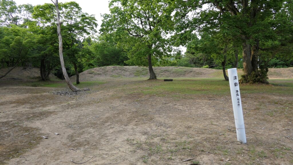
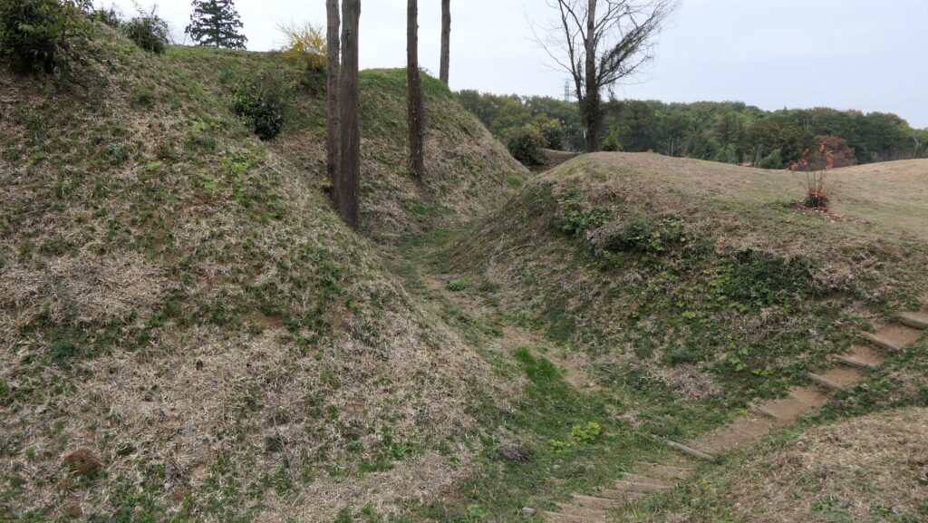
If you want to go out of the Main Enclosure from the back entrance, you will need to turn left and right on the narrow route through the other Umadashi Enclosure like the front side. This means the back side of the castle was also protected heavily. The Enclosure II is at the very back and was the largest of the Castle. Therefore, Historians speculate it was used as a military post. On the other hand, the entrance of the enclosure to the outside is very simple and had no defensive capability. Historians also speculate this part had been uncompleted before the Battle of Shizugatake happened.
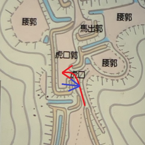
The map around the castle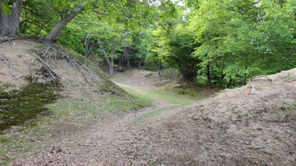
Later History
Genbao Castle was eventually abandoned after Katsuie was defeated in 1583. The ruins of it were buried naturally and returned to nature covered with trees and bushes for over 400 years. However, a local historian discovered the ruins after his research based on some records and traditions in 1980. The ruins were finally designated as a National Historic Site in 1999. The ruins are now considered as very rare ones which clearly shows the who, the when and the why the castle was built. Historians can see that the techniques used in the castle were those used in the period when the Battle of Shizugatake happened.
My Impression
I was surprised to see such a complex structured castle was built on the top of a mountain. I was also convinced to learn the reason for why it was built. I remember that there is another complex structured castle ruins made of pure soil the same as Genbao, called Suginaya Castle in Saitama Prefecture. However, unlike Genbao, it is quite uncertain the who, the when and the why it was built. Some historians think Sugiyama Castle was built in the same period as Genbao Castle because they are similar. On the other hand, others argue that they are, in fact, different in some ways. Either way, it is also an interesting discussion.
How to get There
I recommend using a car when you visit the castle ruins.
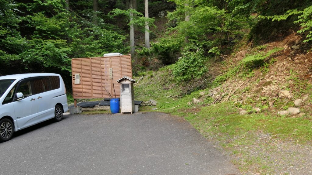
It is about a 20-minute drive away from Kinomoto IC on the Hokuriku Expressway. There is a parking lot beside the entrance of the trail to the castle ruins.
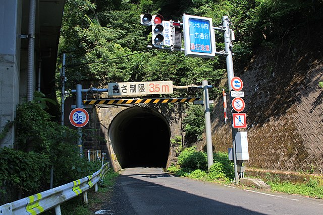
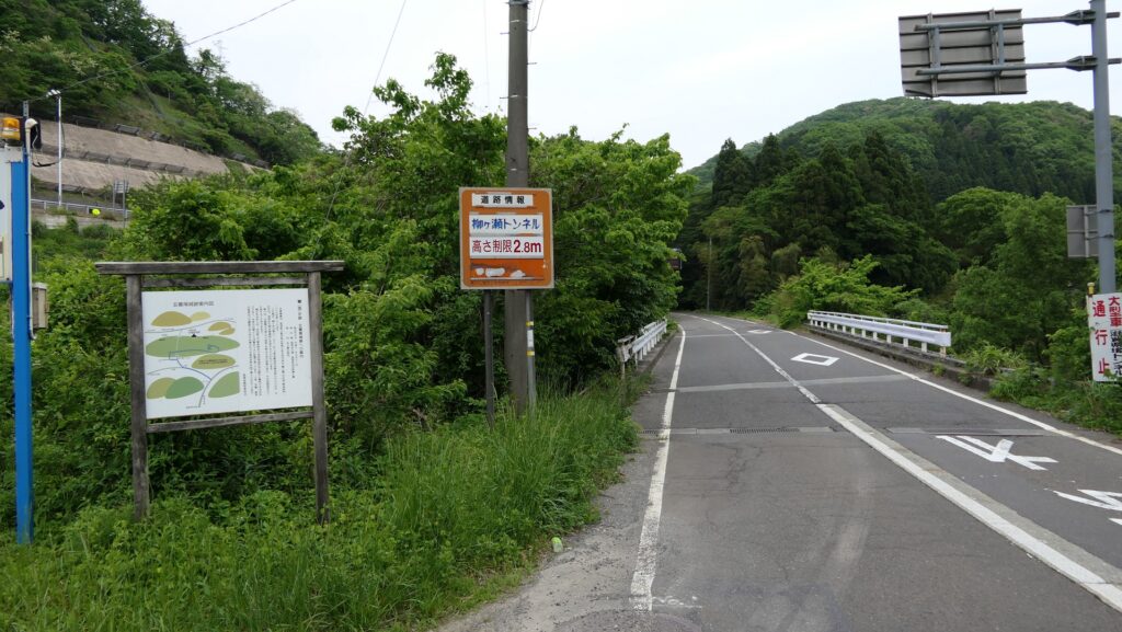
After getting off from the IC, go along the National Route 365 to the north, turn right to the Prefectural Road 140 at the junction, and go through the Yanagase Tunnel. This tunnel had originally been used for the former Hokuriku Railway Line until 1964 and turned into the current road. Make sure that it is a one-way traffic which is controlled by the traffic light. Just after coming out of the tunnel, turn right to the forest road to the parking lot.
If you drive from the north of the ruins, such as Fukui Prefecture, go along the National Route 8 to the south, turn left to the Prefectural Road 140 at the junction, and turn left to the forest road in front of the Yanagase Tunnel.
That’s all. Thank you.
Back to “Genbao Castle Part1”
Back to “Genbao Castle Part2”