96.飫肥城 その3

シラス台地上の城の完成形

特徴、見どころ

武家屋敷通りと藩校「振徳堂」

城の主要部分の東側(三の丸の一部)を歩いてみると、武家屋敷通りがあって、石垣、白壁、垣根、古い門などによりかつての雰囲気を残しています。敷地の中の屋敷の多くは、現代的施設、レストラン、住居に変わってしまっていますが、いくつかはそのまま残っていて、例えば、重臣の伊東氏の旧屋敷はホテルとして使われています。

城周辺の地図

武家屋敷通り
ホテルとして使われている旧伊東伝左衛門家

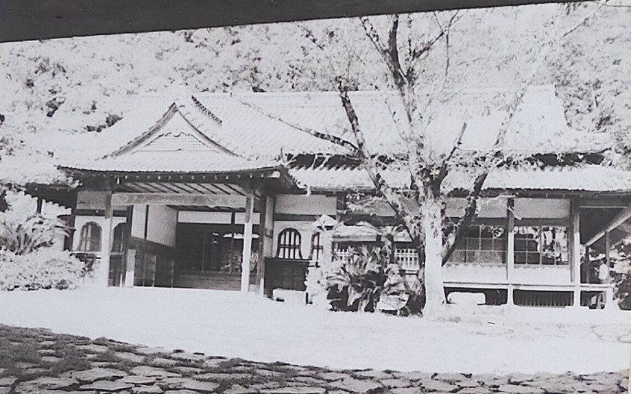
通りから1ブロック北には、藩校であった振徳堂(しんとくどう)の建物が復元されています。この藩校は優秀な人材を輩出していて、1905年に日露戦争を終わらせたポーツマス条約の締結における日本側の全権大使だった小村寿太郎はその一人です。藩校を囲む石垣はオリジナルで史跡の扱いとなるため、修復のため積み直しが必要なときは、全ての石に番号が付けられ、積む際には全く同じ場所になるように作業が進められます。

復元された振徳堂の建物
建物の内部
小村寿太郎の写真、「近世名士写真其一」より  (licensed under Public Domain via Wikimedia Commons)
修復中の石垣

旧城下町を巡る

城跡下にある旧城下町へ行ってみることもお勧めします。この区域は蛇行している酒谷川に囲まれています。城下町区域も武家屋敷通りと似た雰囲気ですが、こちらの方はよりカジュアルな感じがします。例えば、後町(うしろまち)通りには水路があり、錦鯉が泳いでいます。本町商人(ほんまちしょうにん)通りには古い商家が残っていて、そこでは食べ歩きやショッピングを楽しむことができます。

後町通り
水路を泳ぐ鯉

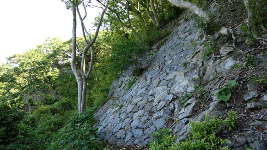
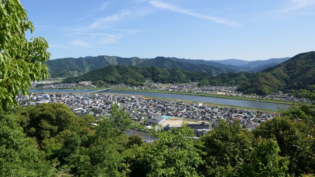
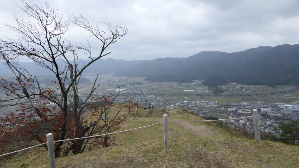
最後に、川に沿った城下町の西側から城跡を眺めてみましょう。そうすると、城はもとはシラス台地であった高く垂直に切り立った崖の上に築かれていることがわかるでしょう。崖の一部分は崩壊を防ぐためにコンクリートで固められています。現在の人々は今でも崖上の城跡を維持するのに苦心しています。伊東氏による飫肥藩は、きっと同じことをするのに更なる努力を必要としたでしょう。

酒谷川
城跡がある川沿いの崖
一部はコンクリートに覆われています

その後

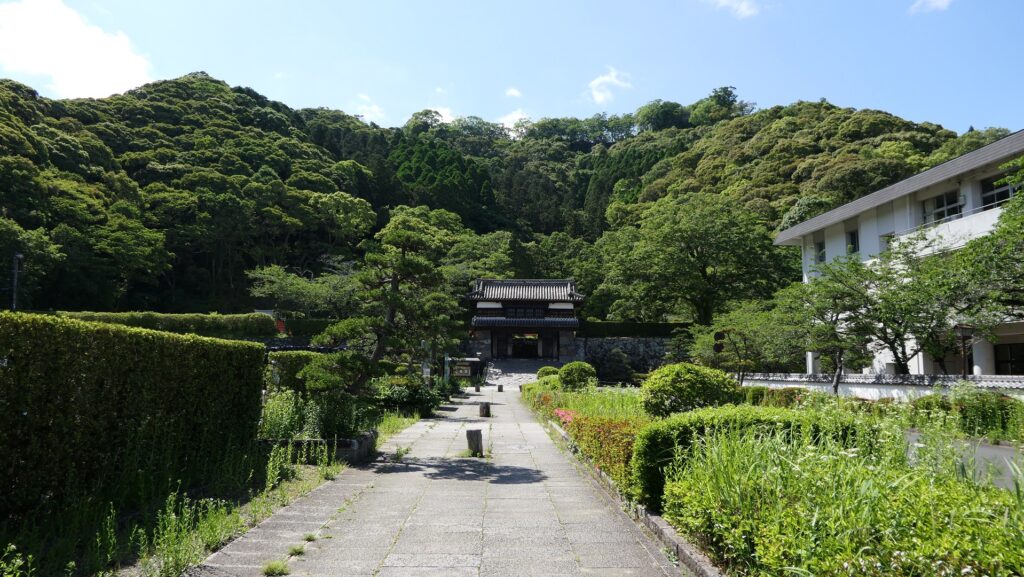
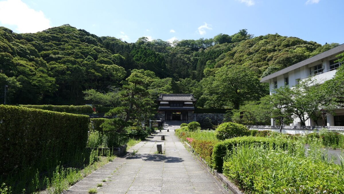
明治維新後、ほとんどの城の建物は撤去されました。しかし、城と城下町の構成は、町割りを含めて、現在に至るまでそのまま残ってきました。日南市は1974年に復元事業を開始します。その後、1974年には九州地方で初めての重要伝統的建造物群保存地区に指定されました。そして、大手門が1978年に、松尾の丸の御殿が1979年に復元されています。そのおかげで私たちは今日、現存しているものと、復元されたものがよく調和しているこの地を楽しむことができるのです。

復元された大手門
城下町にも強固な石垣が残ります

私の感想

飫肥城は、シラス台地上に築かれた城の完成形だと思います。この台地上に城を築くことは、その自然の性質を利用することで簡単なのですが、それを維持することがとても難しいのです。豪雨強風や地震など自然災害が、しばしばこれらの城で崖の崩壊をもたらしてきました。そのため、佐土原志布志知覧などの飫肥城と同タイプの城は、平和な江戸時代になると廃城となるか、部分的に放棄されました。しかし、飫肥城城主である伊東氏は、そのための代替地がありませんでした。よって、伊東氏と飫肥藩は、城と町を江戸時代の間ずっと強固に築き続け、現在見られるようなすばらしい街並みになったのだと思います。

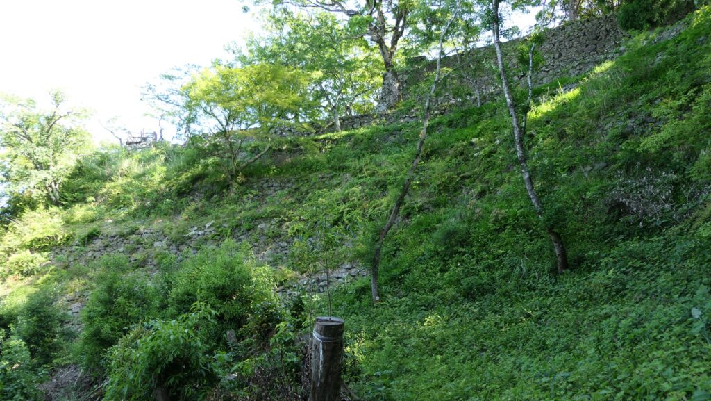
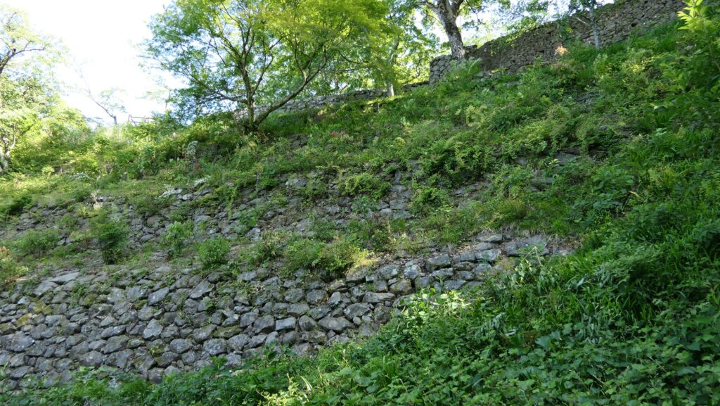
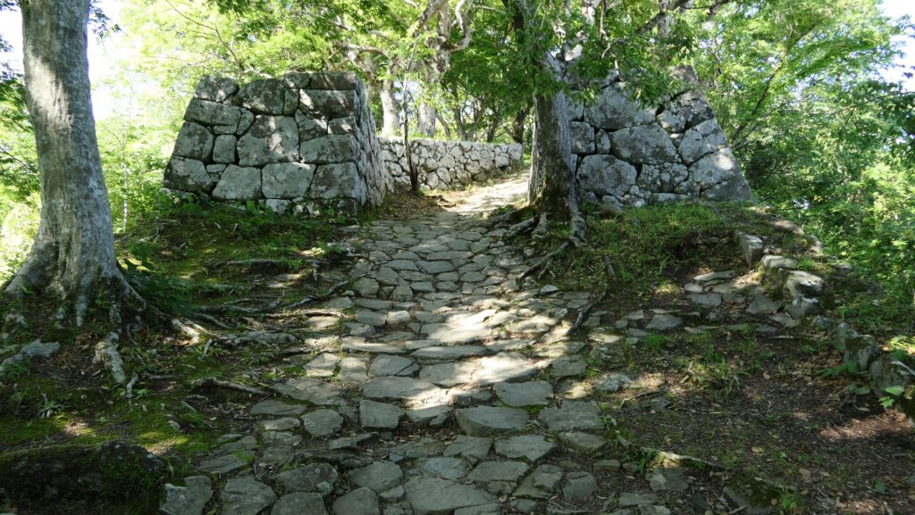
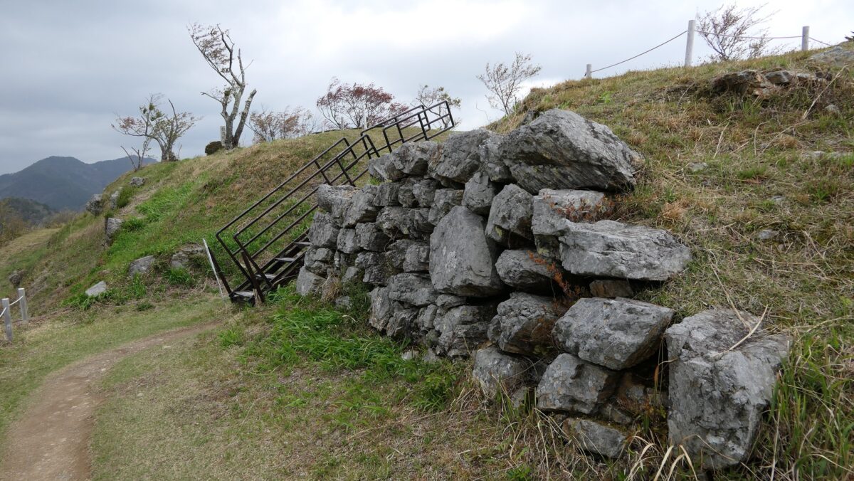
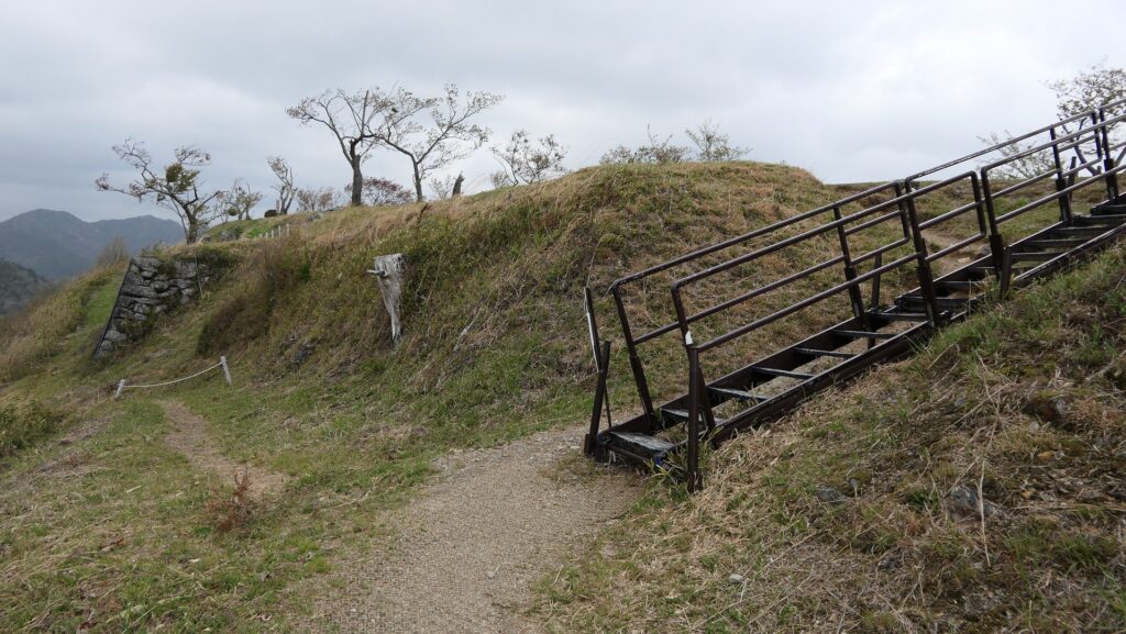
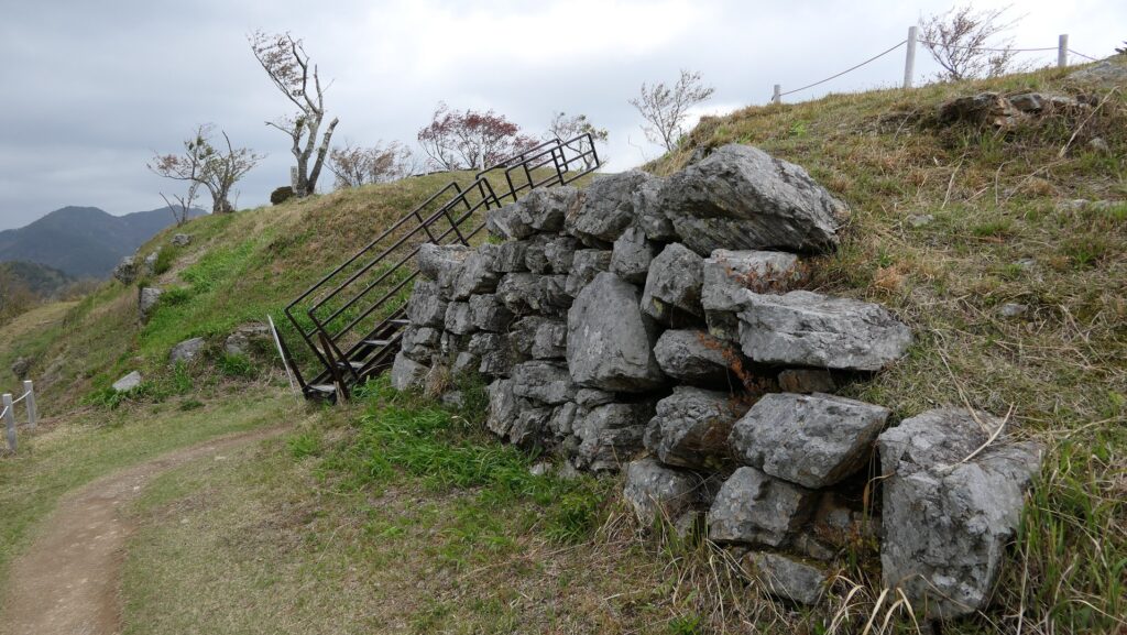
旧本丸の石垣
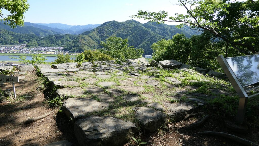
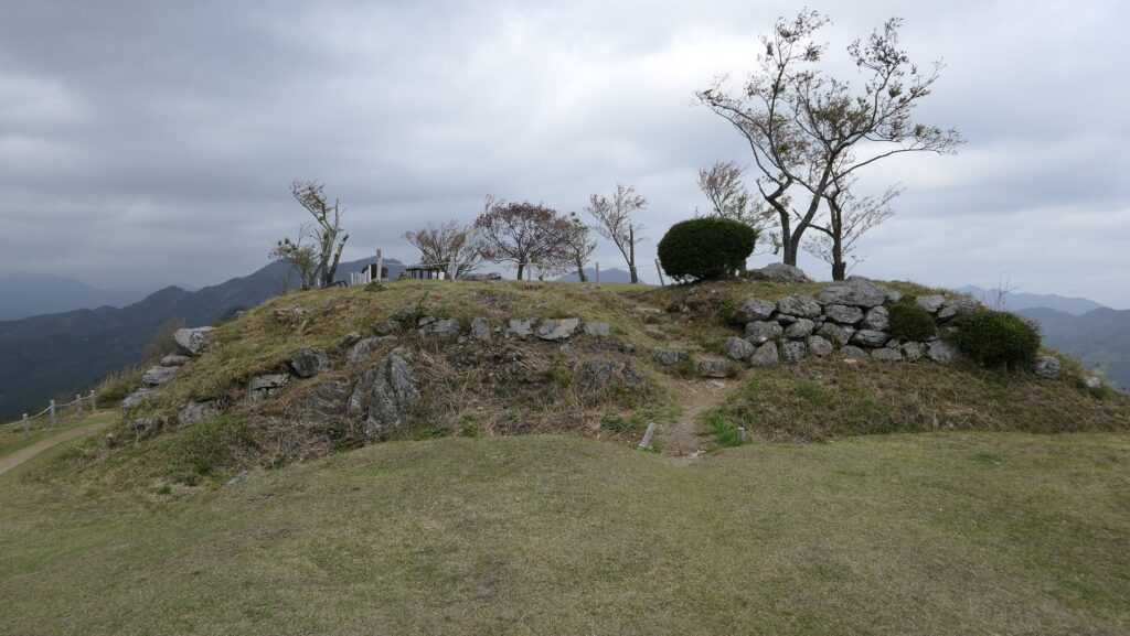
旧本丸の土塁

ここに行くには

車で行く場合:宮崎自動車道の田野ICから、宮崎県道28号線経由で約45分かかります。城跡の手前にビジター向けの駐車場があります。
公共交通機関を使う場合は、JR飫肥駅から歩いて約15分かかります。
東京か大阪から来られる場合は、飛行機で鹿児島空港か宮崎空港まで行って、レンタカーを借りるのがよいかもしれません。

城跡前の駐車場

リンク、参考情報

飫肥城下町保存会 九州の小京都「飫肥」、宮崎県日南市
・「よみがえる日本の城18」学研
・「日本の城改訂版第94号」デアゴスティーニジャパン
・「三位入道(短編集「奥羽の二人」より)/松本清張著」講談社

これで終わります。ありがとうございました。
「飫肥城その1」に戻ります。
「飫肥城その2」に戻ります。

118.Oshi Castle Part3

Other attractions around Oshi Castle

Features

Ishida Bank

I recommend visiting some historical spots near the castle regarding the Battle of Oshi Castle. One of them is Ishida Bank Ruins, about 4km away from Oshi Castle Ruins in the southeastern direction. The bank is the nearly 300m remaining one out of the 28km banks Mitsunari Ishida originally built when the battle happened.

The map around the Ishida Bank

The Ishida Bank Ruins
The monument of the bank, built at the end of the Edo Period

It goes along a river in the north and a road in the south, with some pine trees planted on it, which show it is an old road. The road was actually a byway of Nikko Road during the Edo Period and is said to have been on the major Nanasendo Road before the period.

The river in the north
The pine trees planted on the bank and the road in the south

The Horikiri-bashi Bridge over the river at the edge of the remaining bank is also said to be the place where the defenders of Oshi Castle cut and drained the water inside the bank against Mitsunari.

The Horikiri-bashi Bridge

Sakitama Ancient Burial Mounds

Another recommendation is to visit the Sakitama Ancient Burial Mounds which were built between the 5th and 7th Centuries, much earlier than Oshi Castle, but some of them are related to it. Maruhakayama-Kofun or the Round Burial Mountain was one of them and the largest round burial mound in Japan, which is 17m high and its diameter is 105m. When the Battle of Oshi Castle happened, Mitsunari put his stronghold on the mound and instructed the bank construction. You can see the top of the rebuilt three-level turret of Oshi Castle from the top of the mound, where could have been a good place for Mitsunari to see the situation of the inundation tactics. The approach to the mound is also said to have been another Ishida Bank Ruins.

The aerial photo around the Sakitama Ancient Burial Mounds

The Maruhakayama Ancient Burial Mound
The top area of the ancient burial mound
A view from the top of the direction of Oshi Castle
A view of the three-level turret, being zoomed in
The approach to the mound

In addition, Teppoyama-Kofun or the Gun Burial Mountain was involved in the history of the Oshi Domain at the end of the Edo Period. They cut one side of the mound to train their gunnery skill to prepare for their responsibility for protecting Shinagawa Batteries on Edo Bay.

The Teppoyama Ancient Burial Mound
The ground plan of the ancient burial mound, from the signboard at the site, the dark blue part was the training area

Later History

After the Meiji Restoration, Oshi Castle was abandoned and its water area was turned into a modern park with office buildings but being filled in. It could be needed for modernizing the city. The city was called Gyoda, named after the district which manufactured Japanese socks, Tabi and prospered.

An example of the Gyoda Tabi socks (licensed by katorisi via Wikimedia Commons)
The reproduced manufacturing site of Tabi, exhibited by the Gyoda City Local Museum
One of the remaining Tabi warehouses in the city

The park once had a baseball stadium, officials replaced it with Gyoda City Local Museum whose building looks like The Three-Level Turret the castle had. Some other buildings like a bell-tower, gates and walls were also restored around it, making them the city’s attractions.

The aerial photo around the Main Enclosure in the 1970’s

The current Main Enclosure
The entrance of Gyoda City Local Museum

My Impression

The result of the Battle of Oshi Castle has been said to be the only failure of Hideyoshi Toyotomi during the invasion to the Kanto Region to complete his unification of Japan in 1590, which was blamed to Mitsunari Ishida who was a foolish general. However, I think the reputation comes from being wise after the event that Mitsunari was defeated by Ieyasu Tokugawa in the Battle of Sekigahara in 1600. It is not fair. Mitsunari was the faithful executor of Hideyoshi’s order in the battle, being successful in surrounding the castle. If the defenders were not instructed by Nagachika Narita, but a magistrate from the Hojo Clan, they might have soon surrendered to Mitsunari. I think the Battle of Oshi Castle was an excellent match where Nagachika and Mitsunari took on each other.

The family crest of the Narita Clan, called Maru-ni-mitsuhiki or Three horizonal lines inside a Circle, exhibited by the Gyoda City Local Museum
The Ishida Bank Ruins seen from the Horikiri-bashi Bridge

How to get There

If you want to go there by car, it is about 30 minutes from Kazo IC or Hanyu IC on the Tohoku Expressway. there are a few parking lots around the castle ruins. It may be better to use a car if you also want to visit Ishida Bank Ruins or the Sakitama Ancient Burial Mounds as well.
By public transportation, it takes about 15 minutes on foot from Gyodashi Station on Tobu line to get to the castle ruins.
From Tokyo to Gyodashi Station: Take the Joetsu Shinkansen super express and transfer to Tobu line at Kumagaya Station.

The parking lot of Gyoda City Local Museum with the monument of the Main Enclosure

That’s all. Thank you.
Back to “Oshi Castle Part1”
Back to “Oshi Castle Part2”

118.忍城 その3

忍城周辺のお勧めスポット

特徴、見どころ

石田堤

石田堤周辺の地図

城の近くにある、忍城の戦いに関する歴史スポットにも行かれてはいかがでしょうか。一つは石田堤跡で、忍城跡から南東に約4km離れたところにあります。その戦いのときに石田三成が築いた28kmあったとも言われる堤のうち、一部分の300m近くが残っています。

堤沿いにある「石田堤歴史の広場」
江戸時代末に建てられた石田堤碑

その堤は、北側を川に南側を道に沿っています。そして、上には松の木が植えられていて、古い街道であることを示しています。江戸時代には日光街道の脇街道として使われ、それ以前には中山道そのものであったとも言われています。

堤の北側にある川
南側の街道と堤上にある松並木

現存する堤の端にあって、川にかかっている堀切橋は、忍城の守備兵が三成に対抗するため、堤を切って中の水を溢れさせた場所とも伝わっています。

堀切橋

さきたま古墳群

もう一つのお勧めのスポットは、忍城よりずっと早い5世紀から7世紀にかけて築かれた「さきたま古墳群」です。しかし、忍城と関係しているものがあります。丸墓山古墳は古墳群の一つで、円墳としては日本最大であり、高さ17m、直径は105mあります。忍城の戦いが起こったとき、三成はここに本陣を置き、堤の工事を指揮しました。実際、この古墳の頂上からは再建された忍城の三階櫓の上層部分を遠くに眺めることができます。三成にとっては、水攻めの状況を見て取るのに格好の場所であったでしょう。古墳への参道もまた、石田堤の一部であったと言われています。

さきたま古墳群周辺の航空写真

丸墓山古墳
丸墓山古墳の頂上部分
丸墓山古墳から忍城方面の景色
忍城三階櫓をズームアップ
石田堤の一部と言われる丸墓山古墳への参道

更には、鉄砲山古墳は江戸時代末期の忍藩の歴史に関わっています。藩士たちは、この古墳の側面を加工して鉄砲の砲術訓練をしていました(「角場(かくば)と呼ばれていました)。江戸湾にある品川台場などでの防衛任務の準備をしていたと思われます。

鉄砲山古墳
鉄砲山古墳の平面図、現地説明版より、濃紺部分が角場

その後

明治維新後、忍城は廃城となり、水城であった部分は埋められて、近代的公園や建物がある場所に変わっていきました。これはこの都市を近代化するのに必要なことだったのでしょう。市の名前は、日本の伝統的な靴下である「足袋」を生産して栄えた地区の名前から、「行田」となりました。

行田足袋  (licensed by katorisi via Wikimedia Commons)
足袋の製造現場を再現した展示(行田市郷土博物館)
行田市に残る足袋倉

公園には一時球場がありましたが、城にかつてあった三階櫓のような外観を持つ行田市郷土博物館に置き替えられました。市の観光施設として、博物館周辺には鐘楼、門、塀なども復元されています。

1970年代の本丸周辺の航空写真

現在の本丸
行田市郷土博物館の入口

私の感想

忍城の戦いの結果は、1590年に秀吉が天下統一のために関東地方に侵攻したときの唯一の失敗と言われてきました。そしてそれは石田三成が愚かな武将だったからともされています。しかしその評価は、1600年の関ヶ原の戦いで三成が徳川家康に敗れたという結果から後付けされたものであって、正当とは言えません。三成は忍城の戦いにおける秀吉の命令の忠実な実行者であり、少なくとも城を包囲することには成功しているのです。仮に城の守備兵が成田長親ではなく、北条氏から派遣された代官に指揮されていたらどうだったでしょうか。三成にすぐに降伏していたかもしれません。忍城の戦いは、長親と三成ががっぷり四つに渡り合った名勝負だったのではないでしょうか。

成田氏の家紋、丸に三つ引き、行田市郷土博物館にて展示
堀切橋から見た石田堤

ここに行くには

車で行く場合:東北自動車道の加須ICか羽生ICから約30分かかります。城跡周辺にいくつか駐車場があります。もし石田堤跡やさきたま古墳群にも行かれるのでしたら、車を使った方がよいでしょう。
公共交通機関を使う場合は、東武線の行田市駅から歩いて約15分かかります。
東京から行田市駅まで:上越新幹線に乗って、熊谷駅で東武線に乗り換えてください。

本丸跡の石碑がある行田市郷土博物館の駐車場

リンク、参考情報

忍城跡、行田市
・「よみがえる日本の城15」学研
・「天正十八年~関東の戦国から近世~」行田市郷土博物館
・「描かれた忍城」行田市郷土博物館

これで終わります。ありがとうございました。
「忍城その1」に戻ります。
「忍城その2」に戻ります。