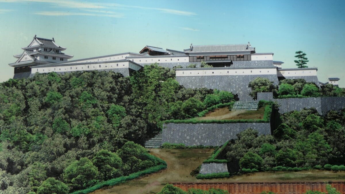
The destination of the Mori Clan’s castle construction
Features
From Third Enclosure to former Castle Town
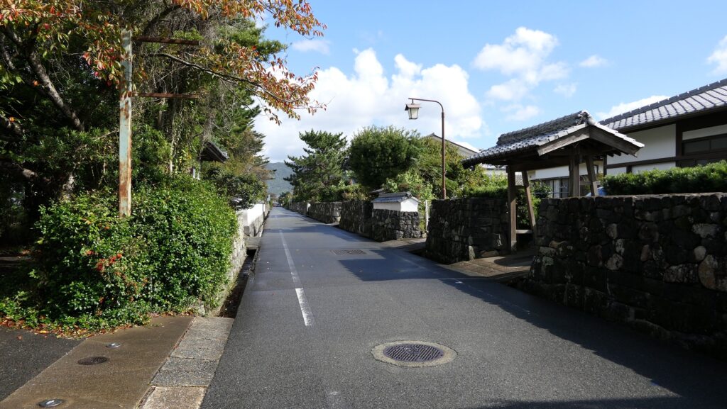
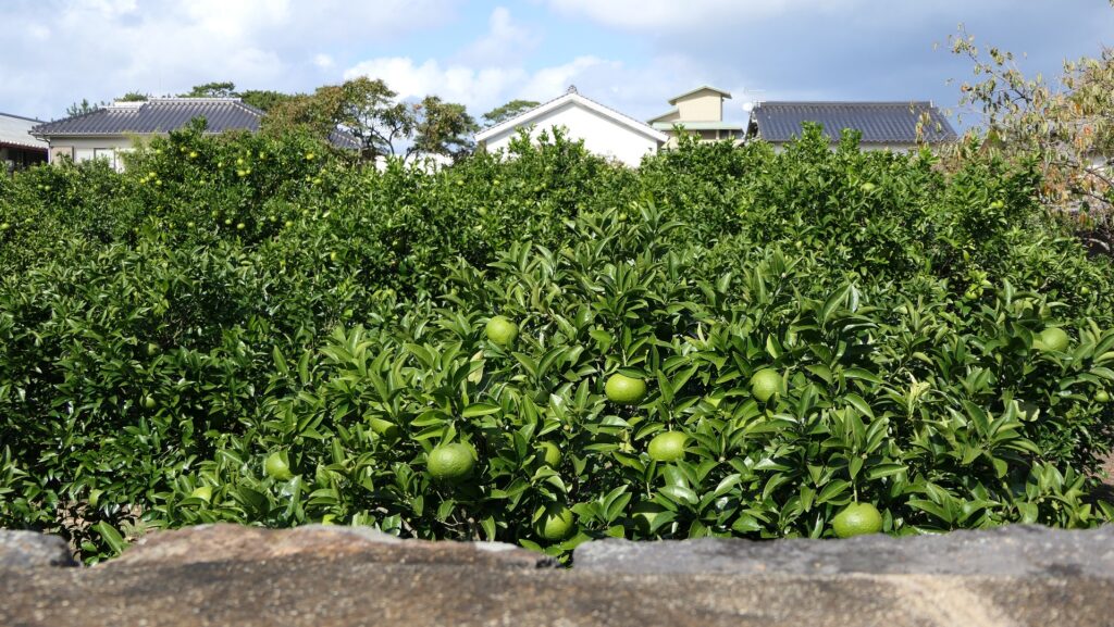
Going back to the parking lot, walking around the Third Enclosure is also good. This area is designated as Horiuchi Preservation District for Groups of Historical Buildings. The blocks of the senior vassals’ houses remain as they were. Though the insides of them are used as public facilities, Hagi ware shops, summer orange fields, and so on, there are several remaining stone walls, mud walls, and house gates surrounding the blocks. This is where you can feel as if you were on the real castle area.
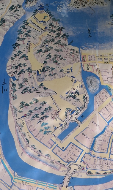
The map around the castle
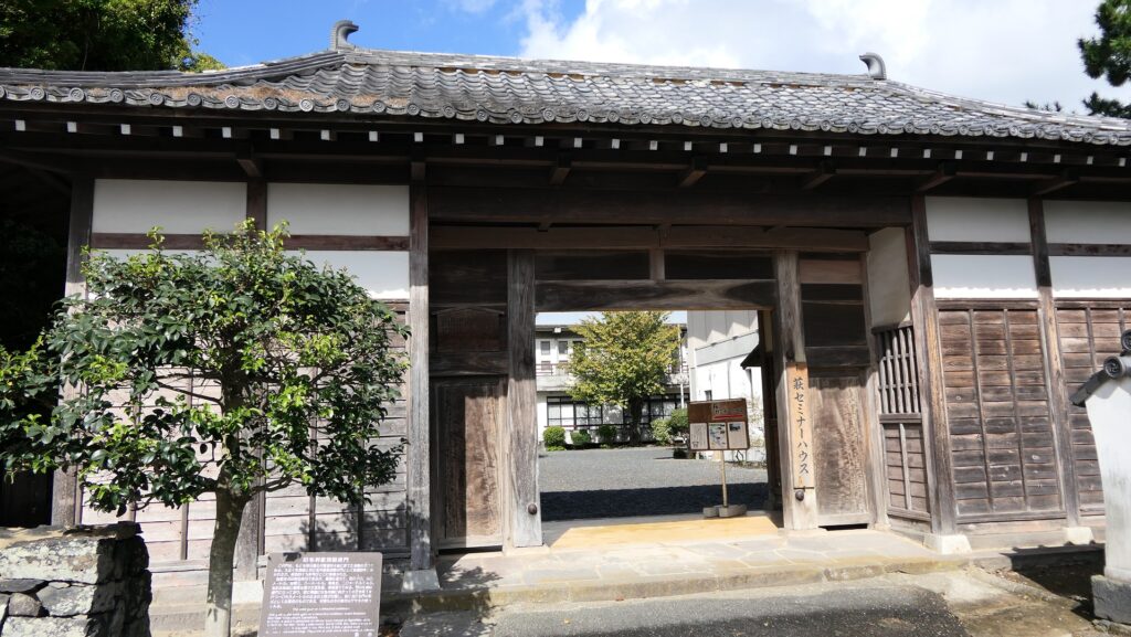
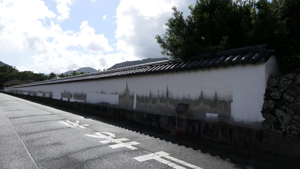
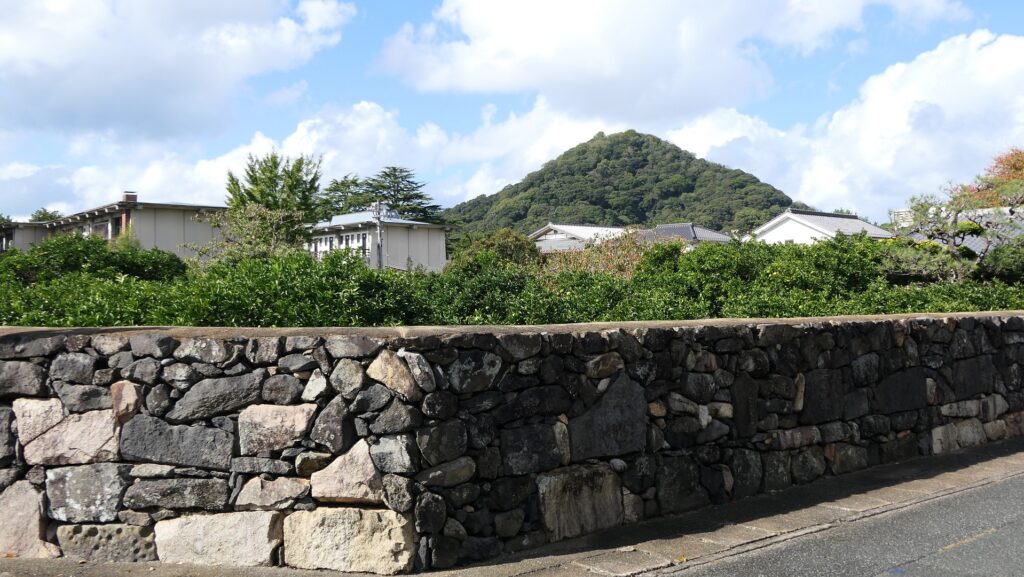
The Third Enclosure (Horiuchi Preservation District for Groups of Historical Buildings)The front gate of the Mori Clan’s villa, it was built in the Meiji Era in another place and moved the current position in the Third Enclosure, it is used for the Hagi Seminar HouseThe remaining mud walls at the Toida Masuda Clan’s residenceStone walls along the street with the background of Shizukiyama MountainThere are summer orange fields inside the stone walls
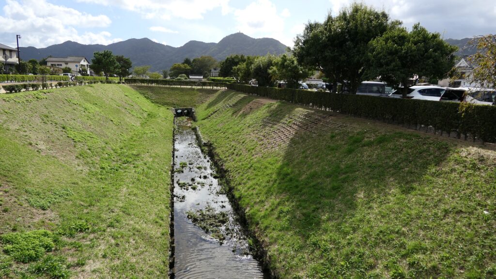
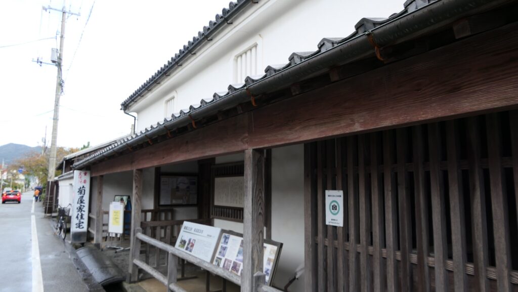
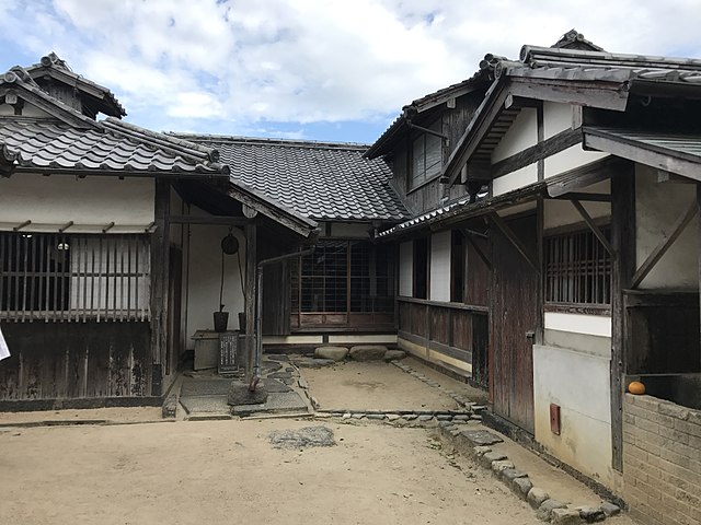
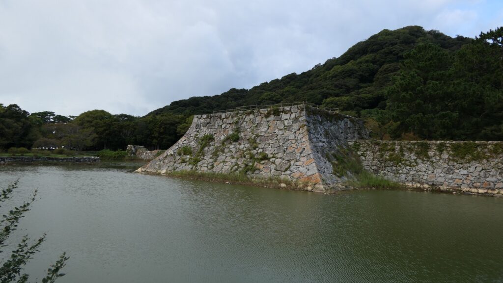
Over the Outer Moat, you can also enjoy the castle town attractions such as Kikuya family residence and Kido’s old residence.
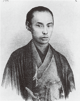
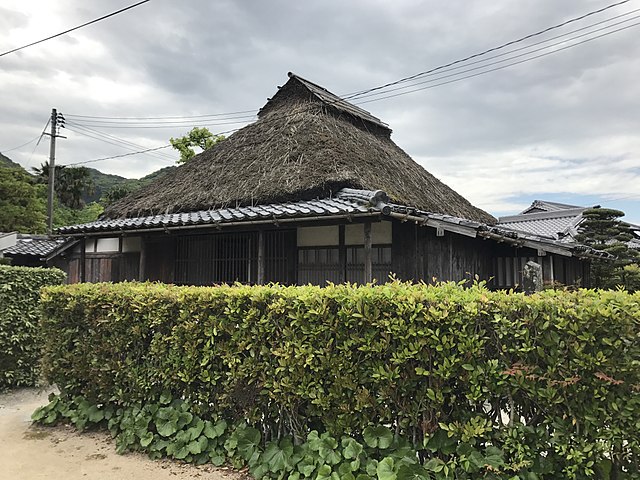
The Outer MoatKikuya family residenceKido’s old residence (licensed by そらみみ via Wikimedia Commons)
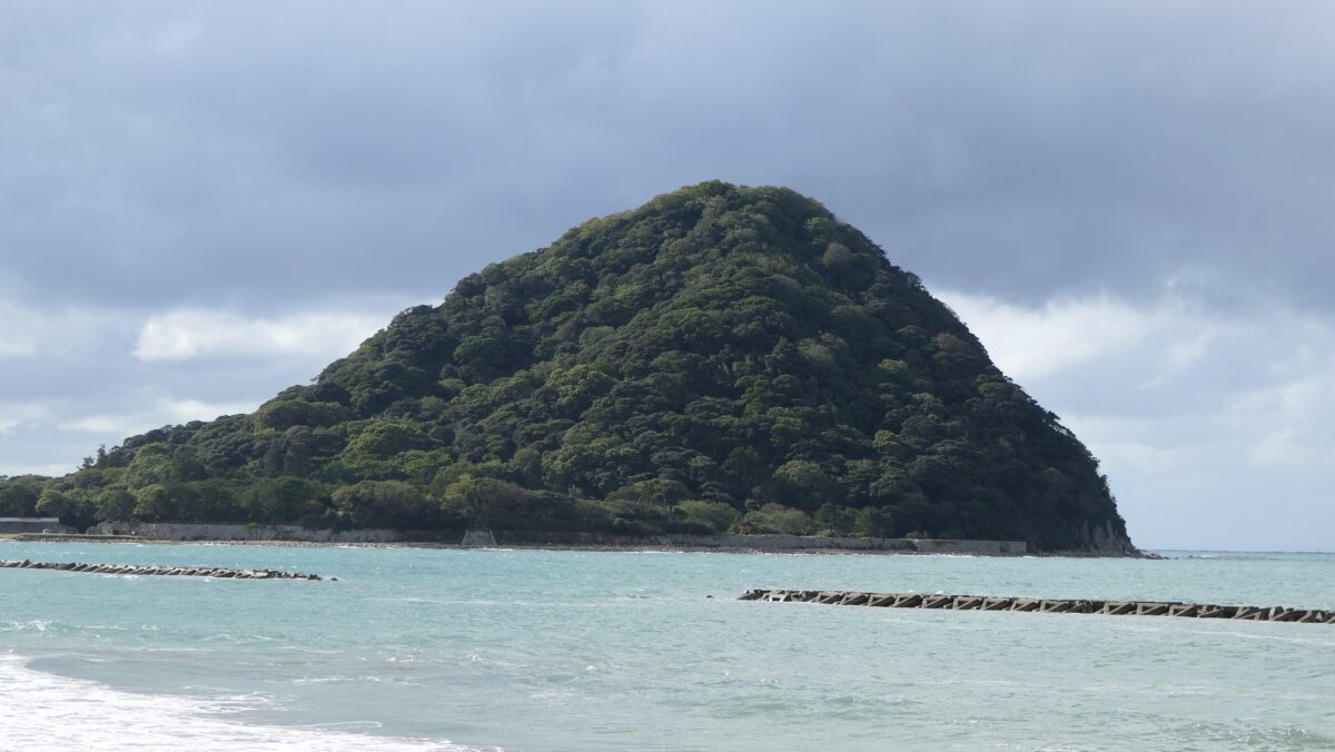
Shizuki Mountain as Final Castle
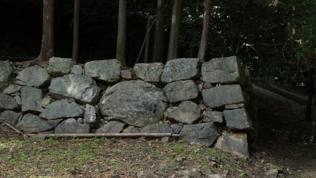
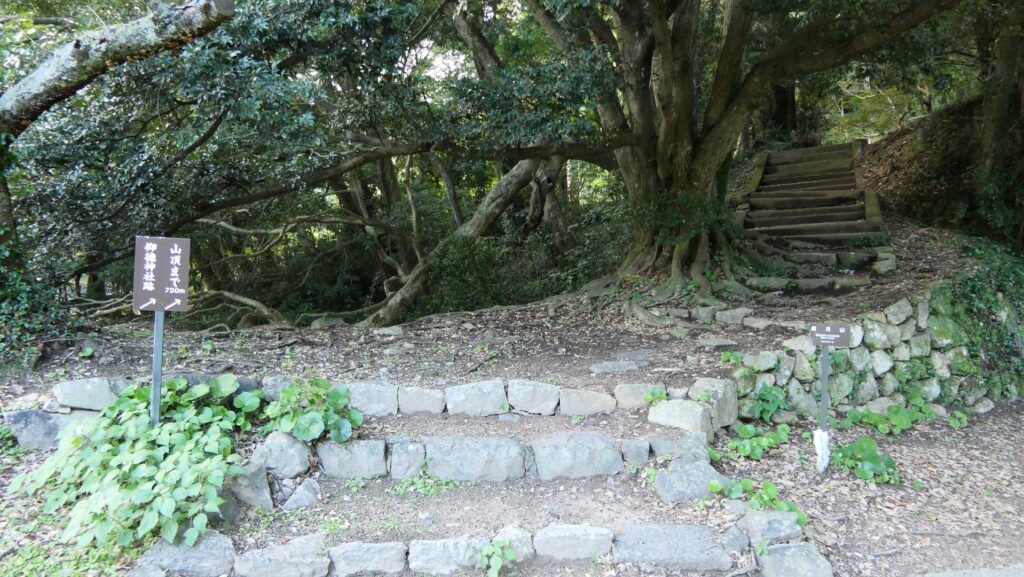
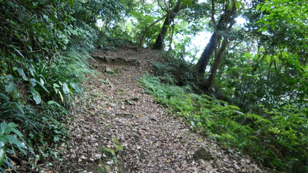
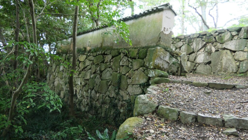
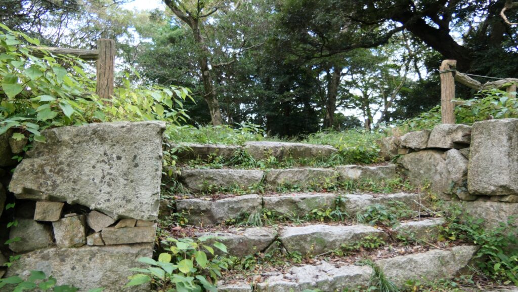
Finally, if you have more time, you should consider climbing Shizuki Mountain as the final castle ruins. It will be an about 20 minute little hard climb, but it worth the trouble. The top has the gate ruins surrounded by stone walls, like ones at the foot.
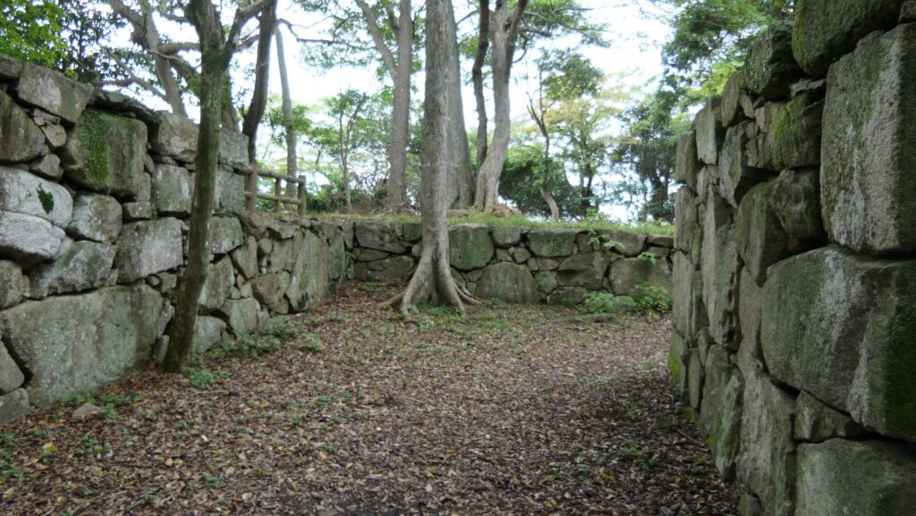
The entrance of the route to the mountainThere are several steep slopesArriving at the gate ruins on the topThis gate also has a defensive square space
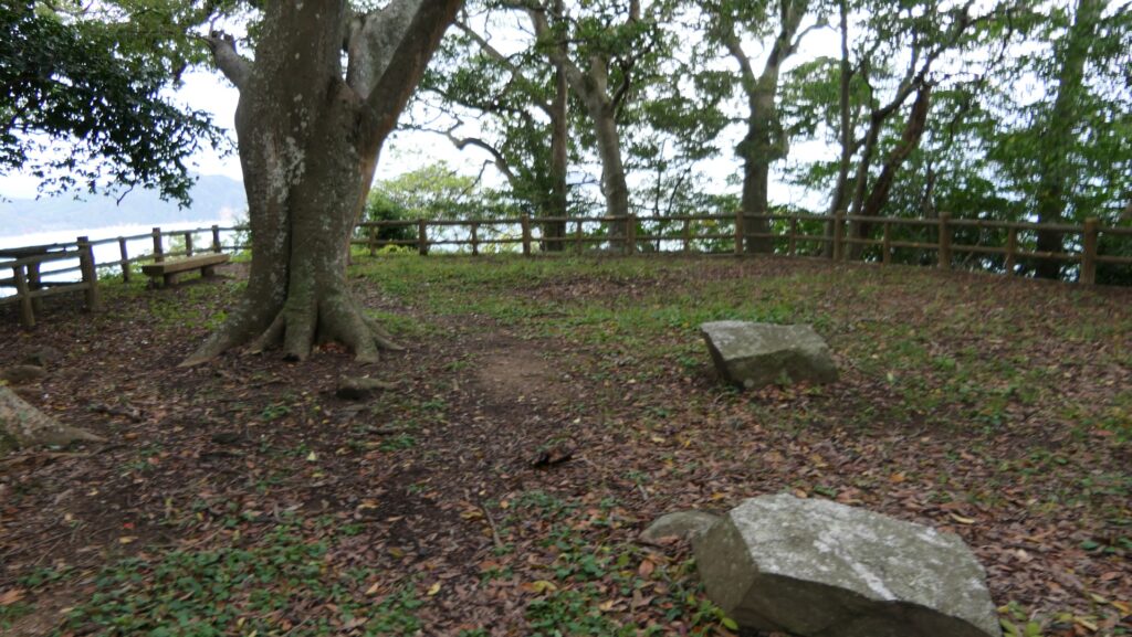
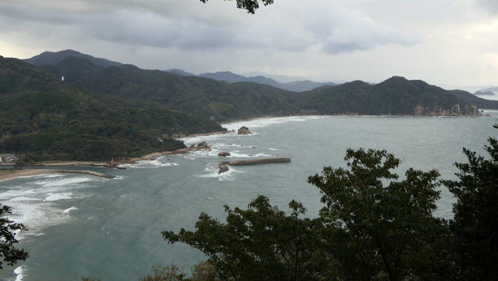
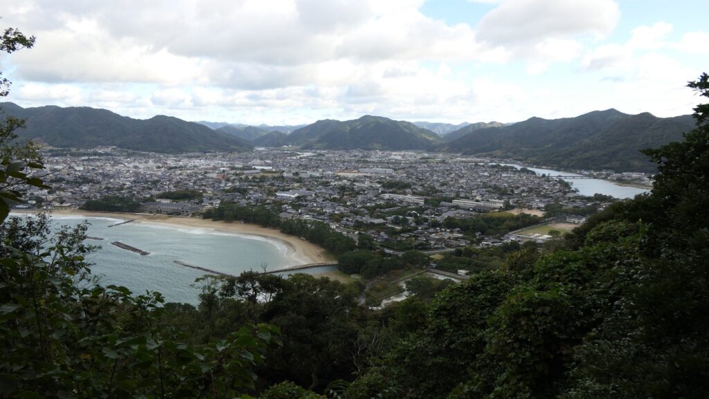
The two-tier enclosures on the top are also surrounded by stone walls. Six turrets were on them in the past. You can see nice views of Hagi City and the Japan Sea there.
The lower tier as the Second EnclosureA view of the Japan Sea from the enclosureHere comes the upper tier as the Main EnclosureA view of the Hagi City area from the enclosure
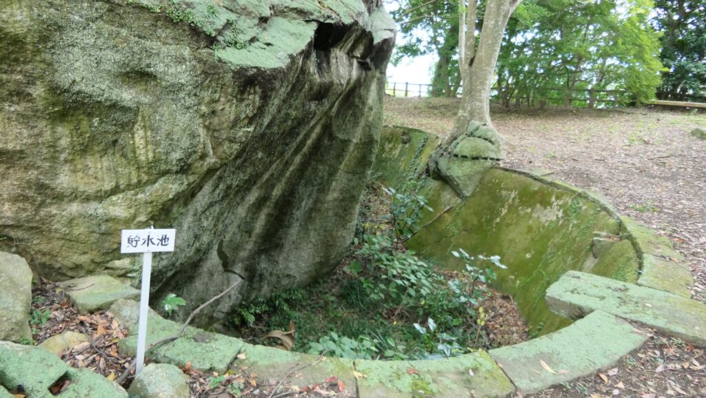
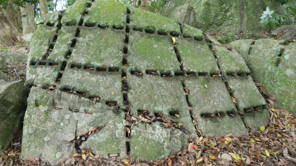
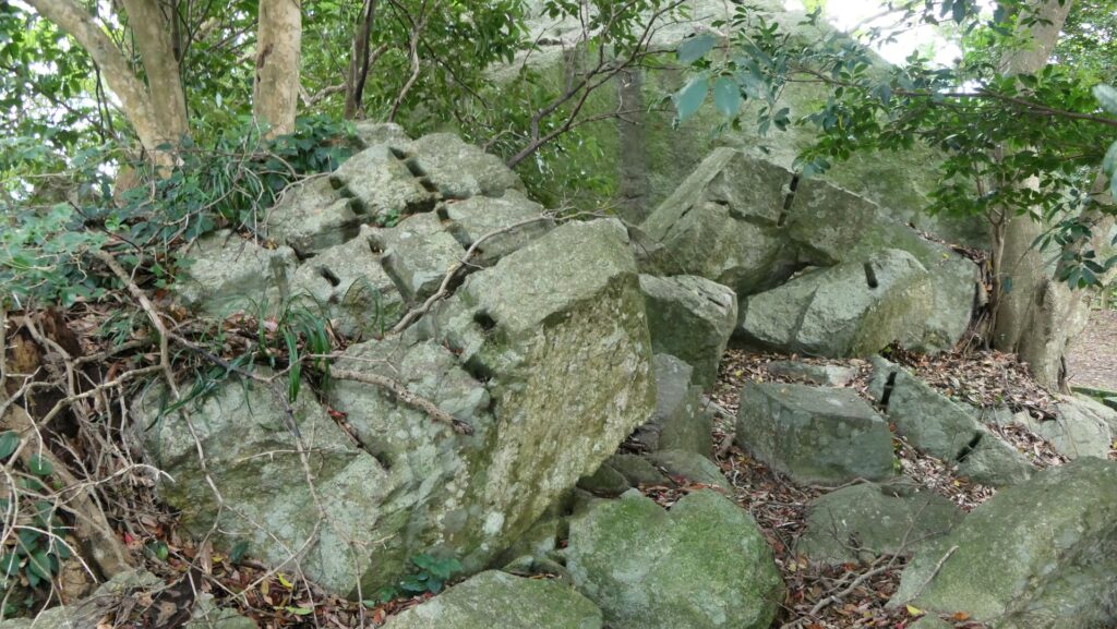
You can also see the reservoir inside for preparing for besieged. There are also many notched huge rocks which look outstanding. These notches are usually understood as a process of making stone walls. However, some people speculate these rocks could have been used by the defenders to counterattack their enemies by cutting and throwing the stones at them.
The reservoir in the Main EnclosureA notched huge rockWhy were they left there?
Later History
After Hagi Castle was abandoned, all the buildings of its center were demolished. People are still wondering why the Choshu Domain, which was one of the winners of the Meiji Restoration, had to do it. Many speculate that they gave an example to a new era by doing so. However, the fact seemed that local people in Hagi had no money to maintain these buildings as the local government had moved to Yamaguchi. As a result, the castle ruins have been a park since 1877 as we see now. They were designated as a National Historic Site in 1951.
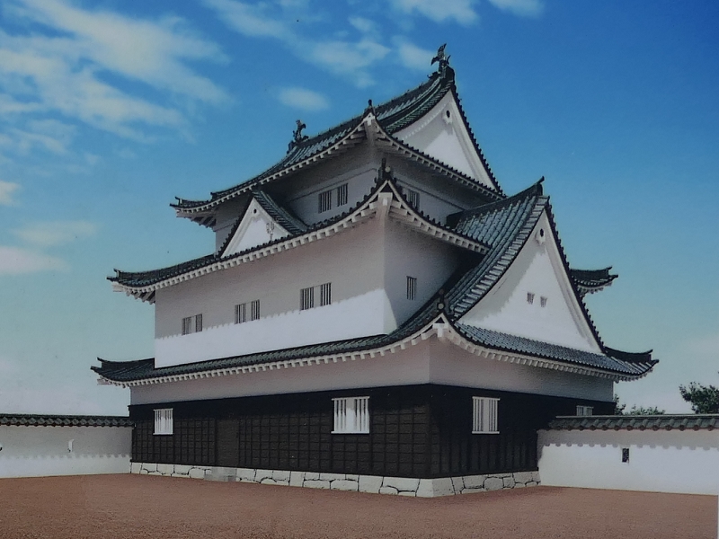
The Main Tower was scraped in 1874, the same year as the castle was abandoned
My Impression
I think that Hagi Castle was the destination of the Mori Clan’s castle construction. It was a plain castle, a mountain castle, and also a sea castle. The clan built the castle using all their experiences they got before to make it the strongest. That’s why I also think they didn’t reluctantly choose its location, but actively decide it. I hope Hagi City would repair the restored mud walls on the top of the mountain as there are some writings on the wall.
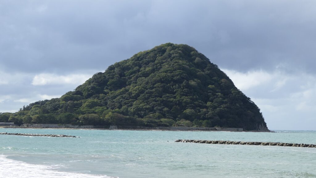
Shizuki Mountain was integrated with the castle
How to get There
If you want to visit the castle by car, it is about 50 minutes away from Mine IC on the Chugoku Expressway. There is a parking lot in front of the Second Enclosure. By public transportation, It takes about 30 minutes on foot from Hagi Bus Center or Higashi-Hagi Station. Or it may be a good idea to use a rental bicycle from either place as many other historical attractions, such as Shoin Shrine and Ito’s old residence, are disseminated around the city. To get to Hagi Bus Center or Higashi-Hagi Station from Tokyo or Osaka: Take the Sanyo Shinkansen super express and transfer to the Highway bus “Super Hagi-go” at Shin-Yamaguchi Station.
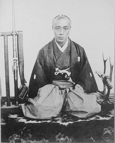
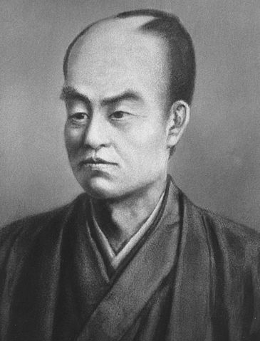
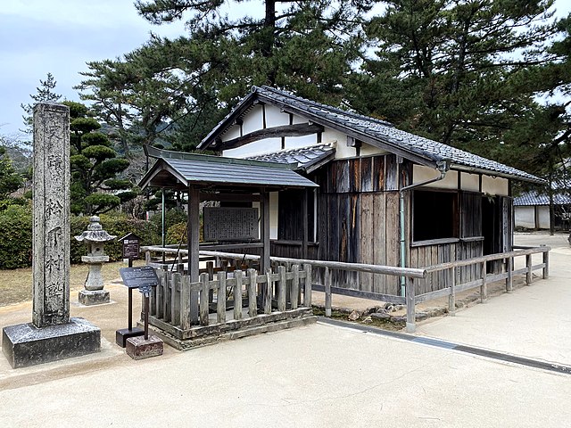
The building of Shokason-juku, which was established by Shoin, has been preserved in Shoin Shrine (licensed by ぽこるん via Wikimedia Commons)Ito’s old residence (licensed by そらみみ via Wikimedia Commons)