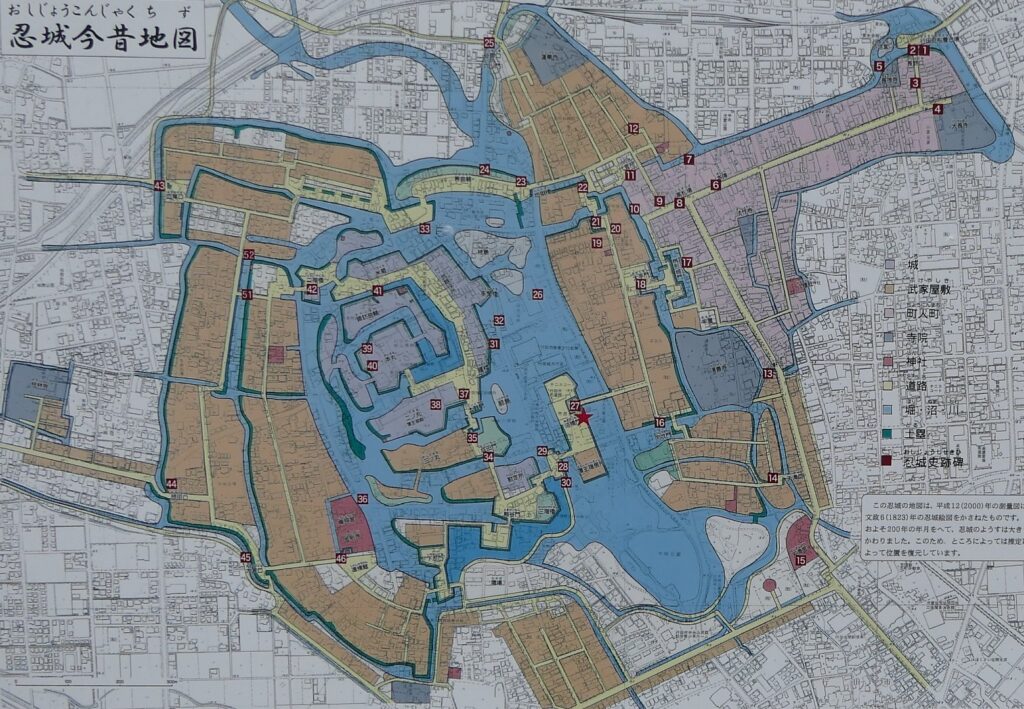
Let’s walk with the location map laying over the previous and current city areas.
Features
Castle Ruins mostly being turned into City Area
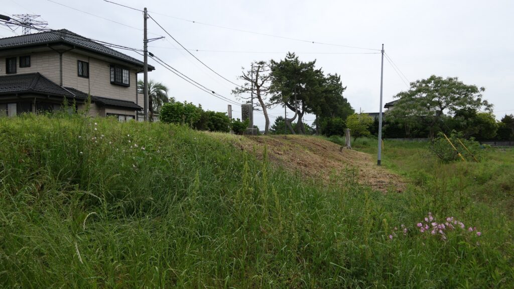
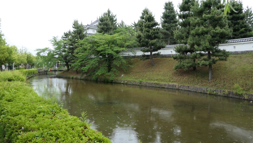
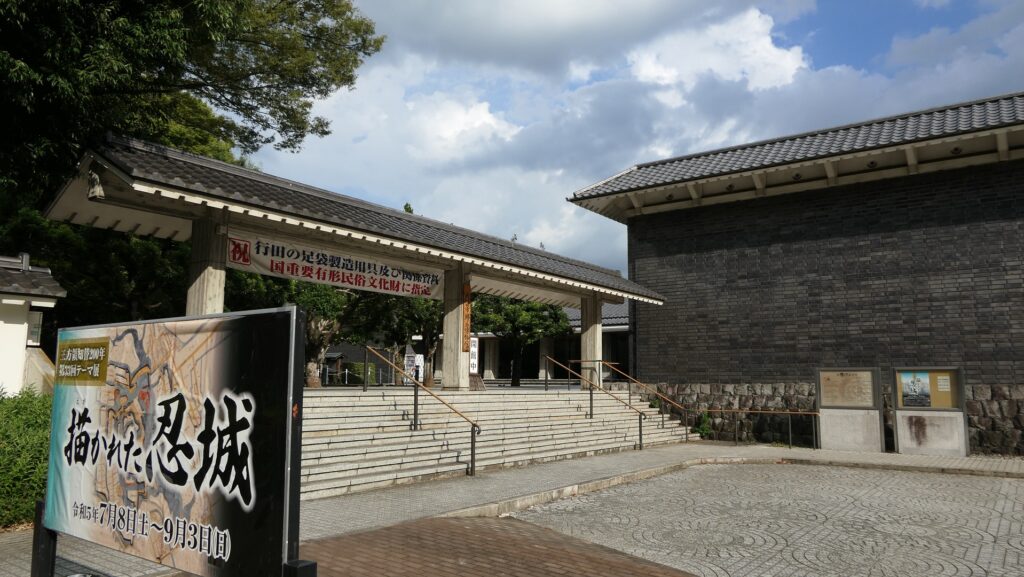
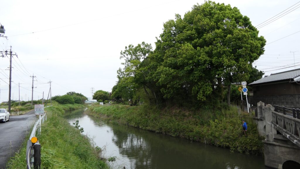
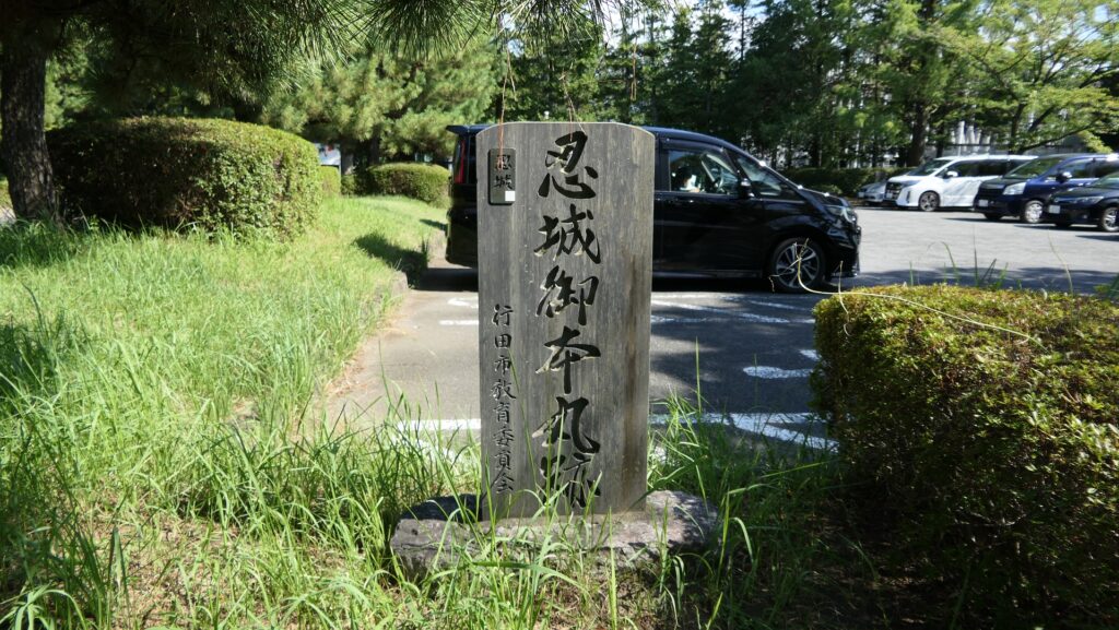
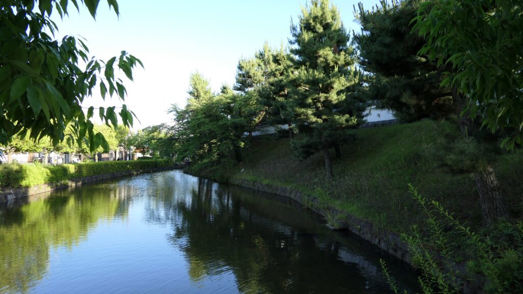
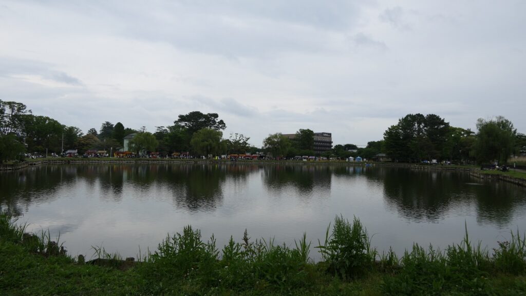
Today, there are only few remaining items of the original Oshi Castle because most of its lands and moats were turned into a city area. Part of the earthen walls and the Inner Moat surrounding the Main Enclosure remains or was restored with the rebuilt Three-level Turret looking like a Main Tower. Part of the Outer Moat, little far from the Main Enclosure in the south, remains as the Water Castle Garden. The other moats were filled and the other enclosures were flattened for building modern buildings and transportation. However, if you use the location map laying over the previous and current city areas, which Gyoda City provided, you can walk by following the original routes to the center of the castle. Some stone monuments of the original buildings will guide you see where your own location is in the past.
The aerial map around the castle
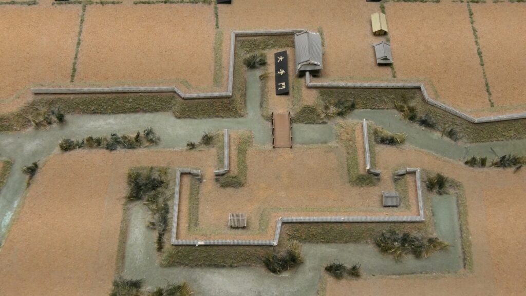
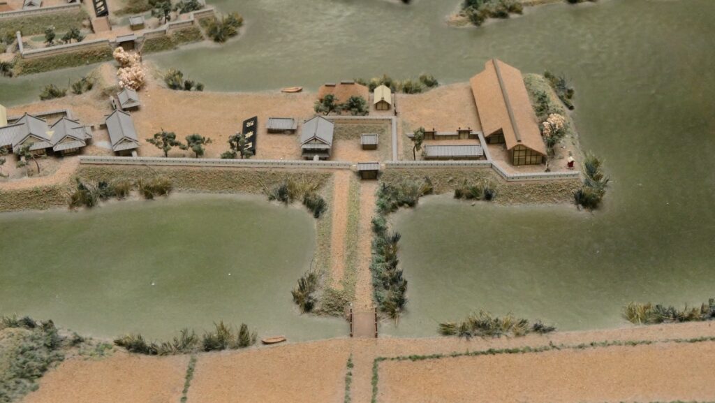
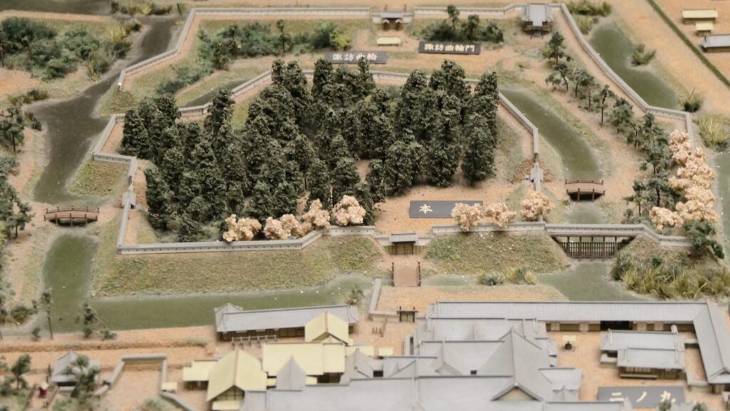
The earthen walls and water moat of the Main EnclosureThe Water Castle GardenThe location map laying over the previous and current city areas, The water moats of the castle is light blue colored, from the signboard at the siteThe place where the Main Gate was builtThe monument of the Main Gate RuinsThe part of the Main Gate in the miniature model of the castle, exhibited by the Gyoda City Local Museum
Starting from Main Gate Ruins
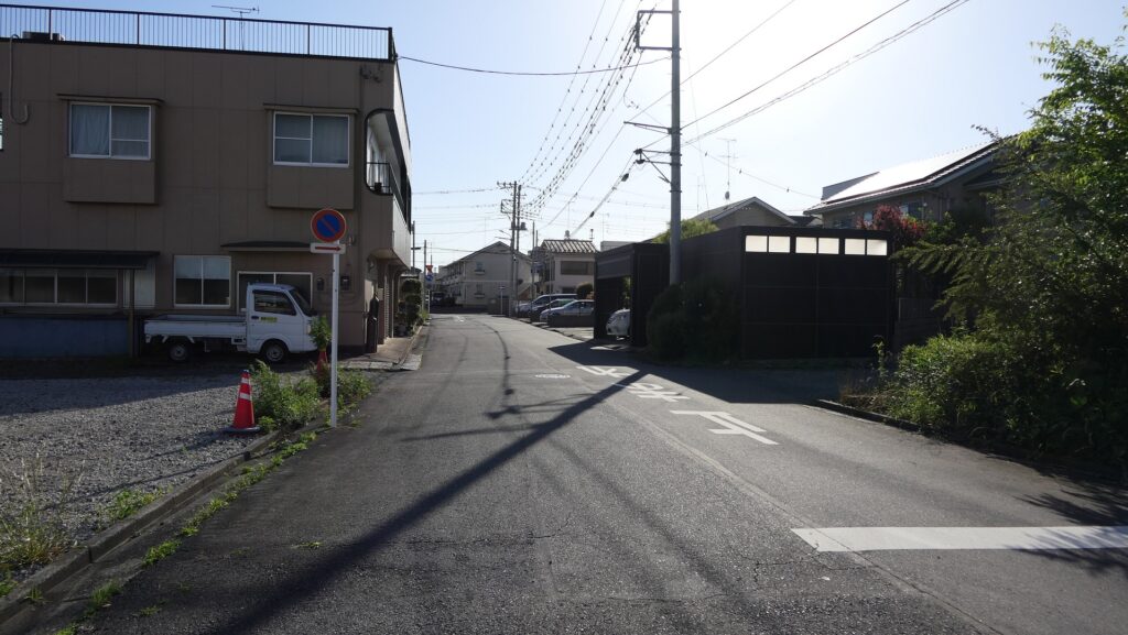
For example, if you want to go to the Main Enclosure from the Main Gate Ruins on the original route, you would need to pass five enclosures like an island through very narrow paths over the moats. You can now follow the present routes similar to the original ones, which are now among modern residential areas.
The map around the castle, the broken red line shows the route from the Main Gate to the Main Enclosure, which is nearly original
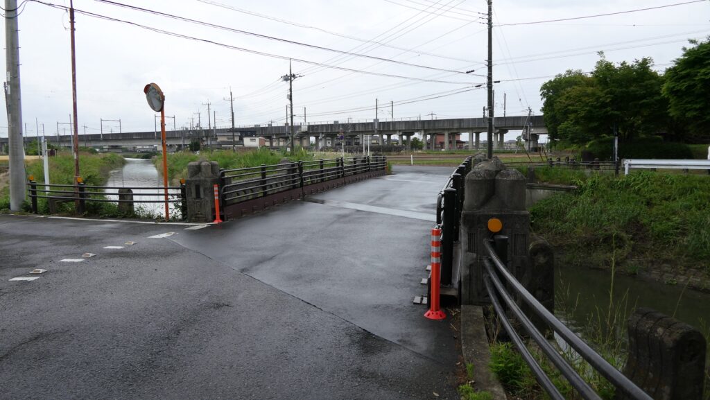
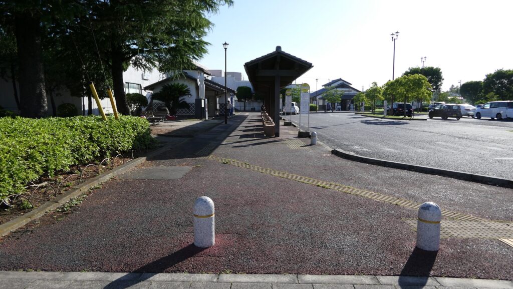
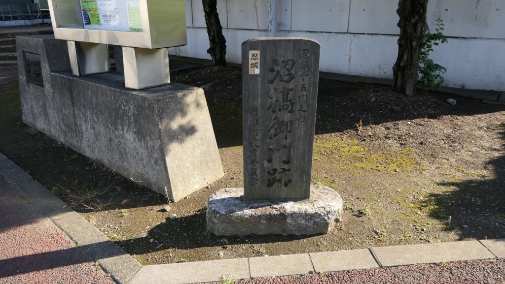
For instance, the promenade of Oshi Castle Bus Terminal is the trace of one of the narrow paths, which is an unbelievable change.
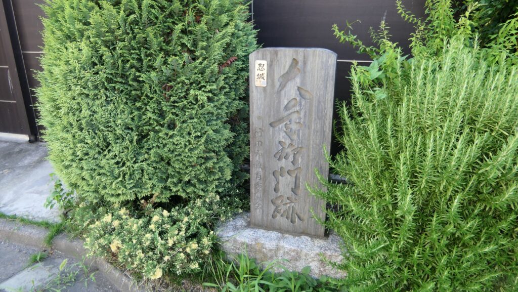
The promenade of the bus terminal, which was the narrow path over the moatThe monument of Numahashi-mon Gate Ruins is over thereThe part of Numahashi-mon Gate in the miniature model
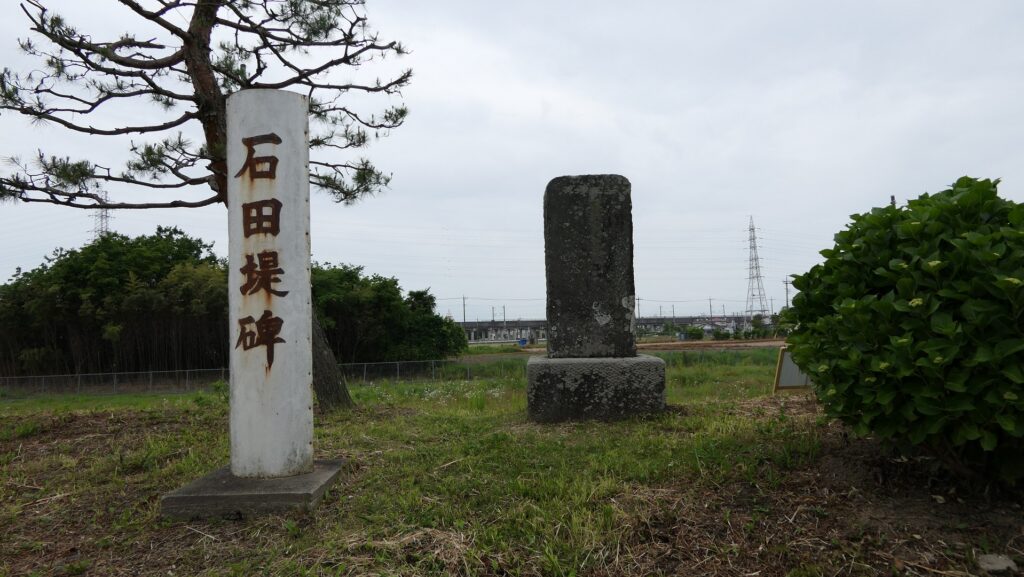
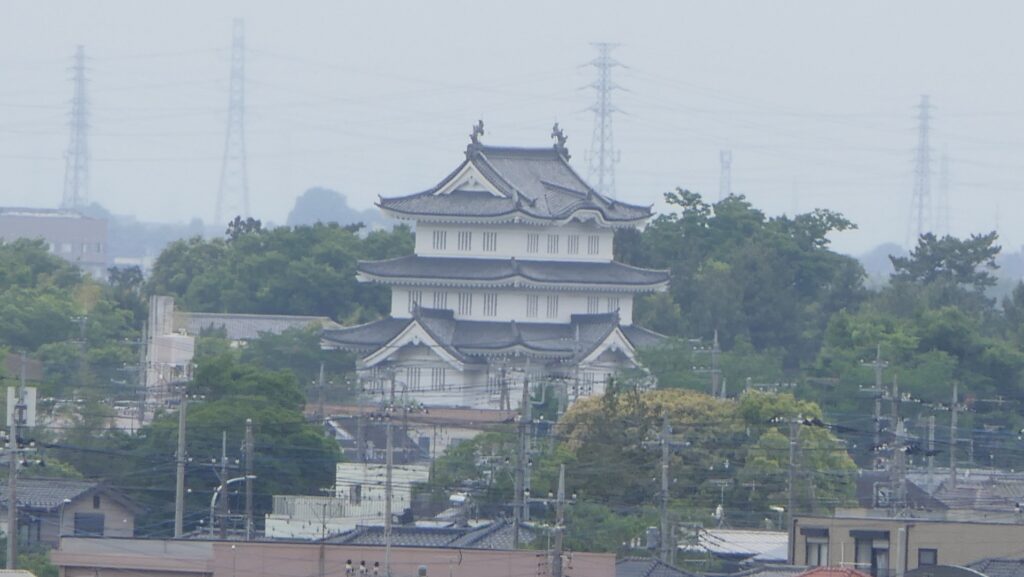
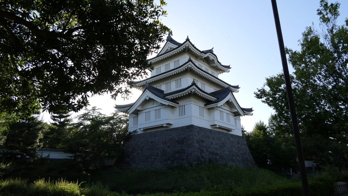
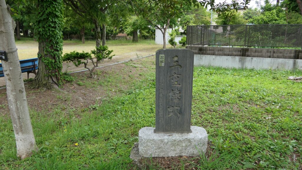
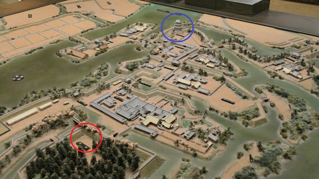
You can also find the stone monument of the original Three-level Turret on the way, so you will understand the original one was in the different place from the rebuilt one in the Main Enclosure.
The monument of the ruins of the original three-level turretThe original three-level turret is in the blue circle, the current three-level turret is in the red circle, in the miniature model
Past and Present of Main and Second Enclosures
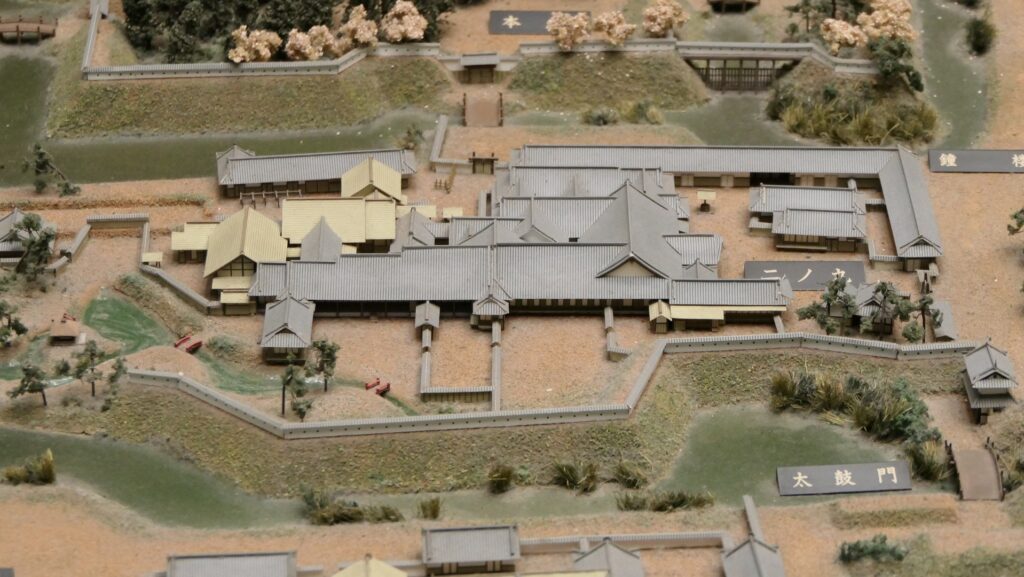
In fact, the Main Enclosure had been used as the Main Hall for Ieyasu Tokugawa, the founder of the Tokugawa Shogunate, during his hunt tour at the marshland around the castle. This enclosure eventually became an empty space surrounded by its earthen walls and the Inner Moat even during the Edo Period. The Main Enclosure is now being used as the Gyoda City Local Museum including the rebuilt turret, which exhibits the history of the castle and the city, and has become the landmark of the city.
The part of the Main Enclosure in the miniature modelThe rebuilt three-level turret in the Main Enclosure
The Main Hall for the lord of the Oshi Domain was built in the Second Enclosure across from the Main Enclosure, which is being used as Gyoda Secondary School.
The part of the Second Enclosure in the miniature modelThe secondary school in the Second Enclosure