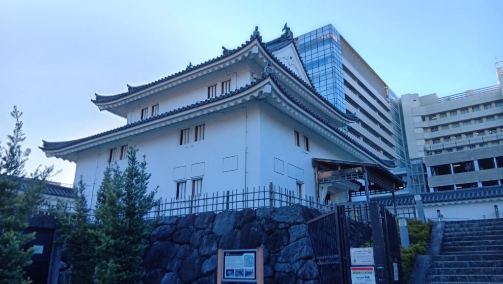
今回は村上海賊の城、能島城をご紹介します。現在「しまなみ海道」と呼ばれる芸予諸島の島にあった城です。「海賊」というのは古くからの用語です。しかし、現在の私たちがこの言葉から抱く「無法者」「略奪者」といった一方的なイメージとは異なります。室町・戦国時代には、彼らは普段は「海の領主」「警固役」といった存在で、戦さのときは水軍にもなりました。有力な「海賊」だった能島村上氏が築いたのが能島城で、島全体を要塞化して築いた「海城」の代表的なものの一つです。
イントロダクション
今回は村上海賊の城、能島城をご紹介します。現在「しまなみ海道」と呼ばれる芸予諸島の島にあった城です。「海賊」というのは古くからの用語です。しかし、現在の私たちがこの言葉から抱く「無法者」「略奪者」といった一方的なイメージとは異なります。室町・戦国時代には、彼らは普段は「海の領主」「警固役」といった存在で、戦さのときは水軍にもなりました。ときには略奪を行い、政治権力者にも反抗したので、「陸の領主」から見て「海賊」と呼ばれることになったようです。役に立つ場合は「警固衆」とも呼ばれていました。「水軍」という呼び方は江戸時代以降の用語だそうです(参考資料②⑦より、以下番号のみ記載)。有力な「海賊」だった能島村上氏が築いたのが能島城で、島全体を要塞化して築いた「海城」の代表的なものの一つです(⑦)。
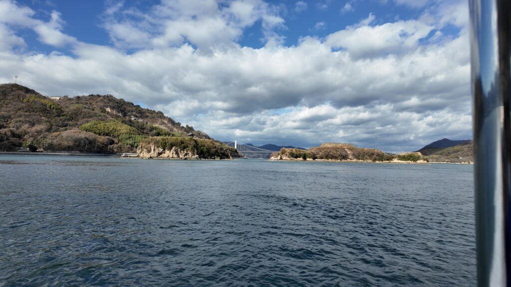
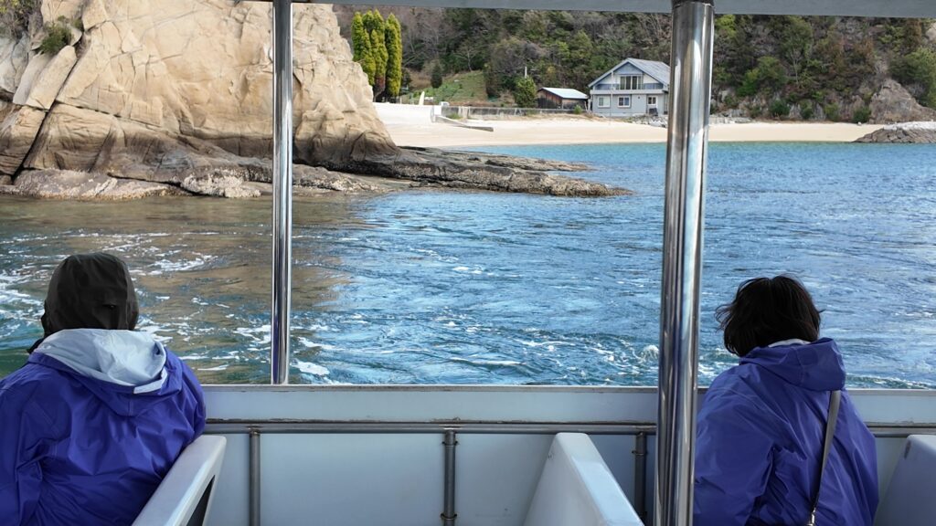
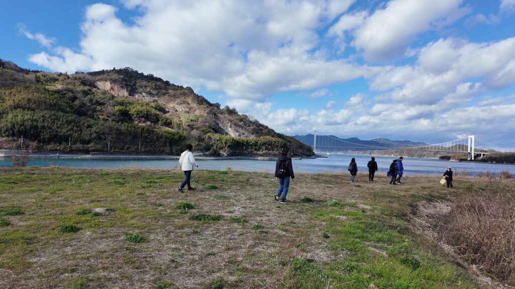
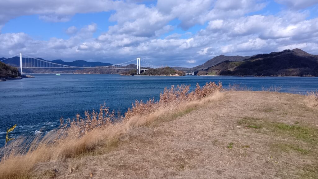
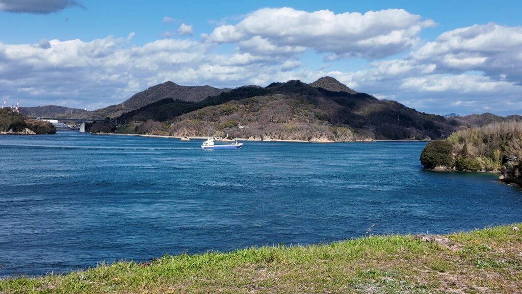
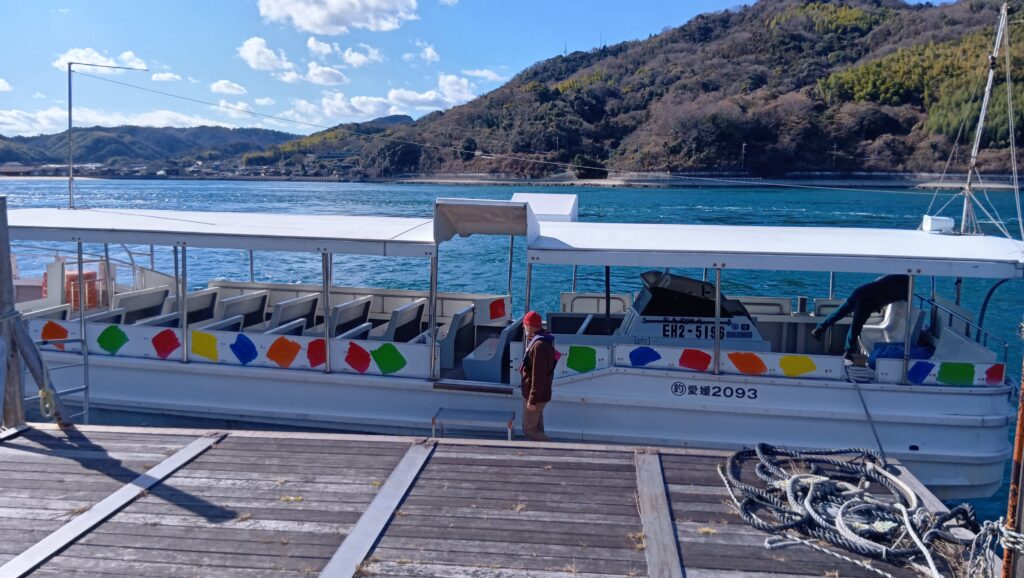
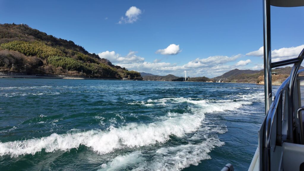
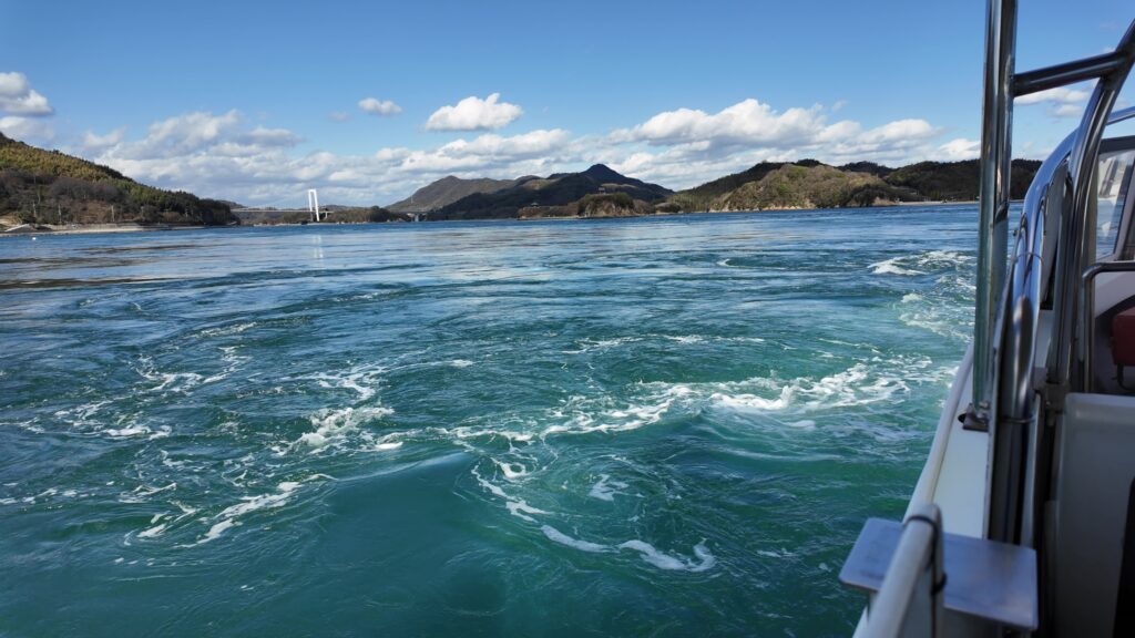
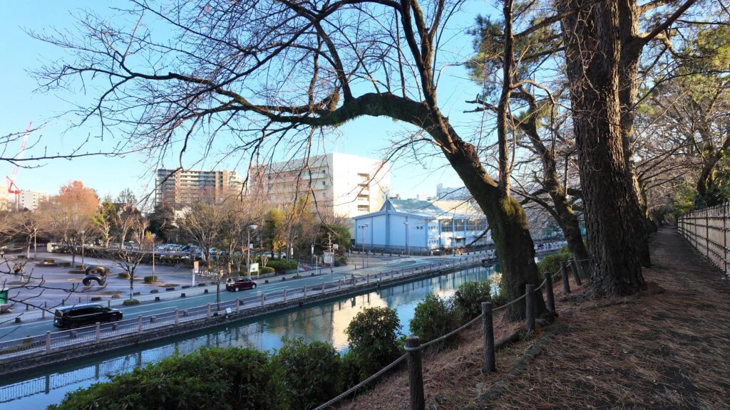
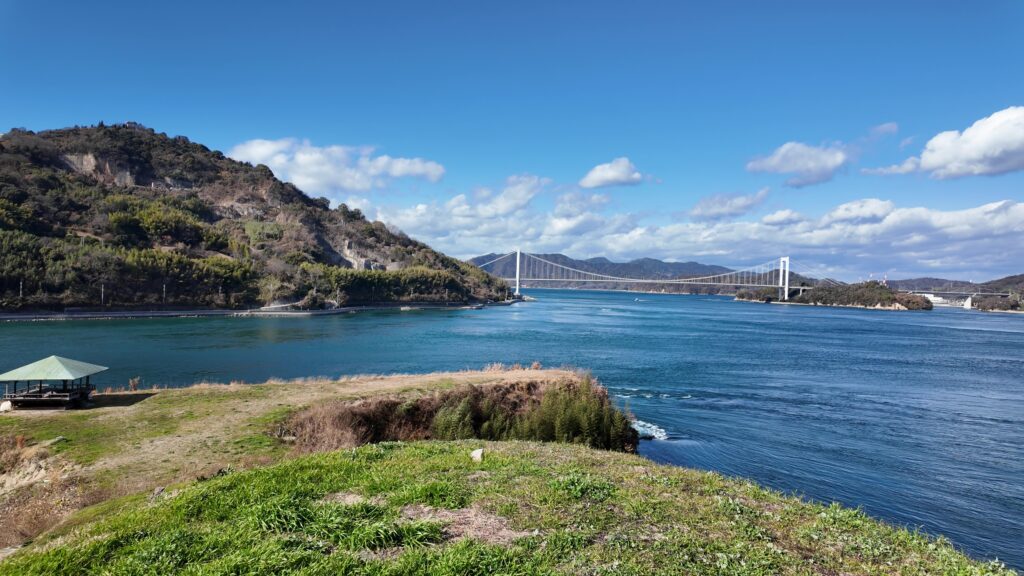
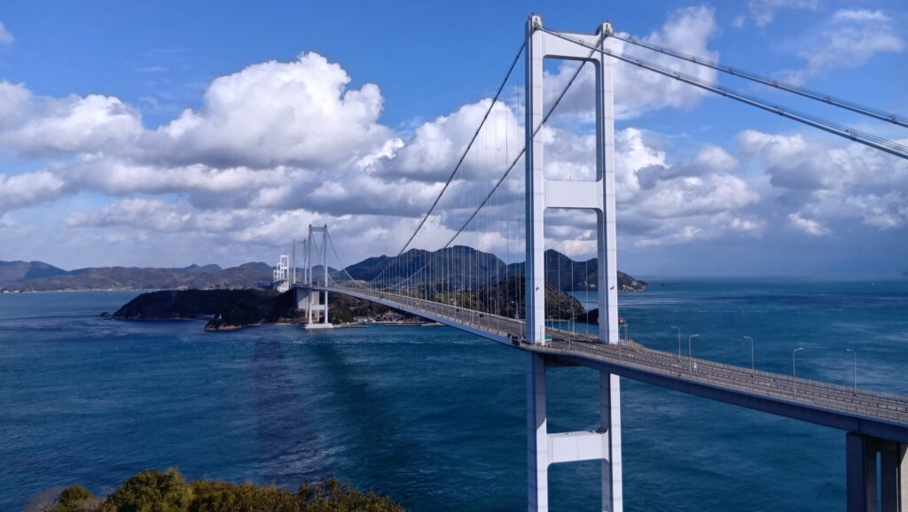 しまなみ海道(来島大橋)
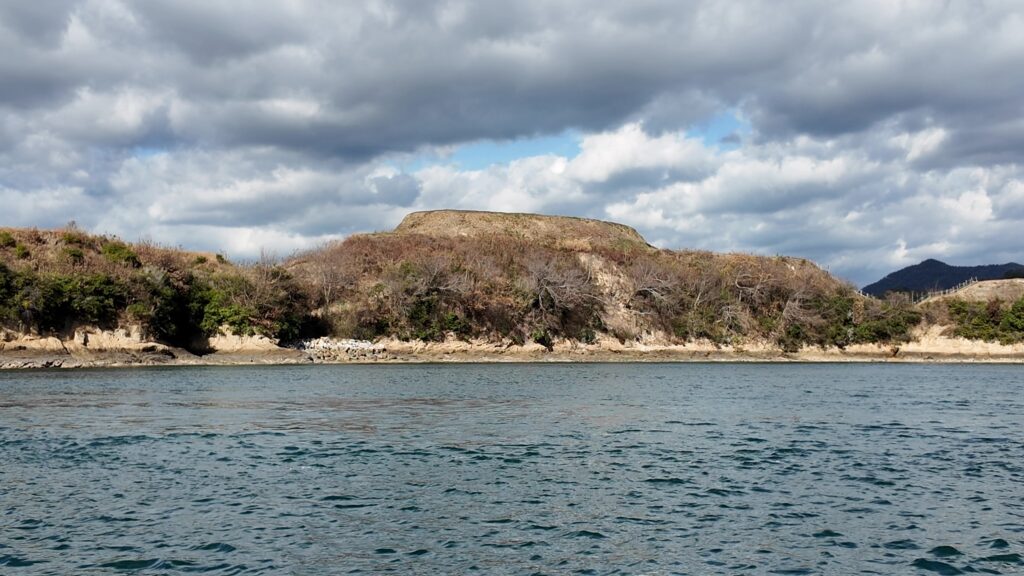
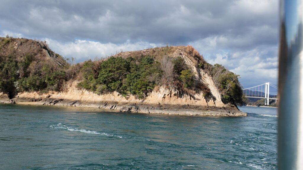
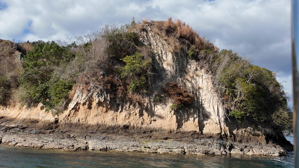
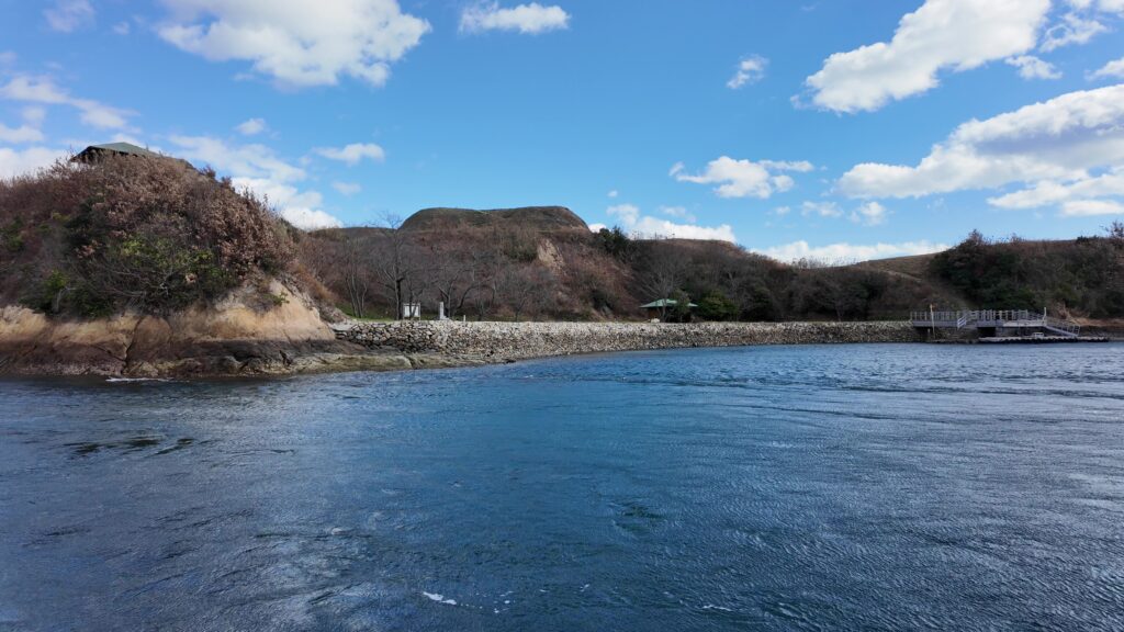
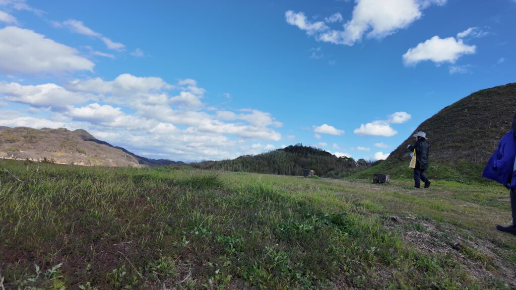
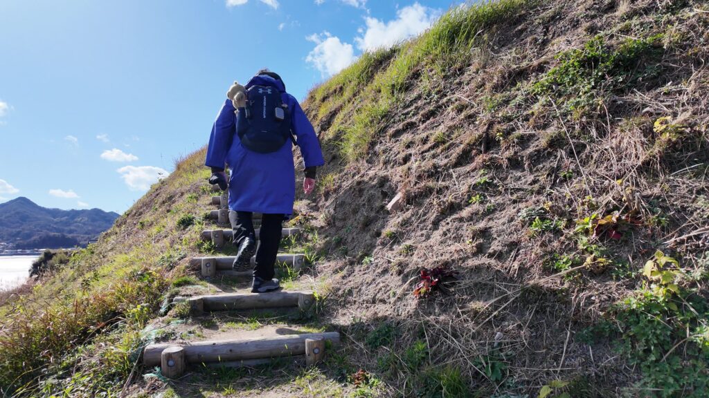
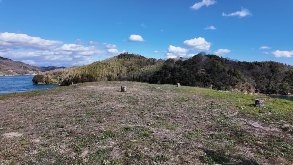
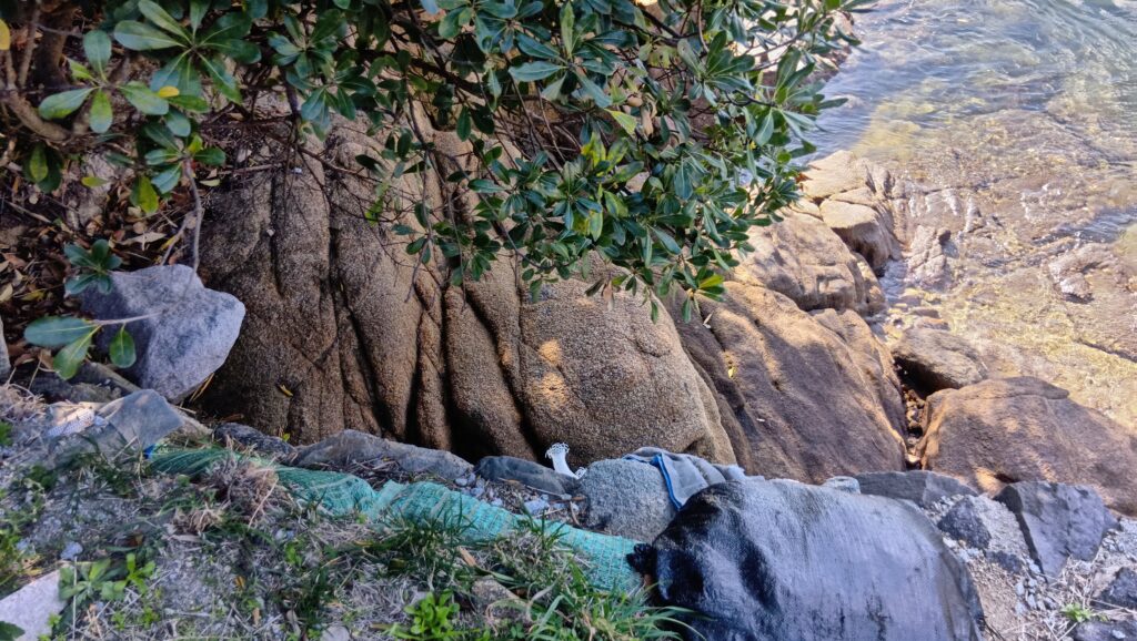
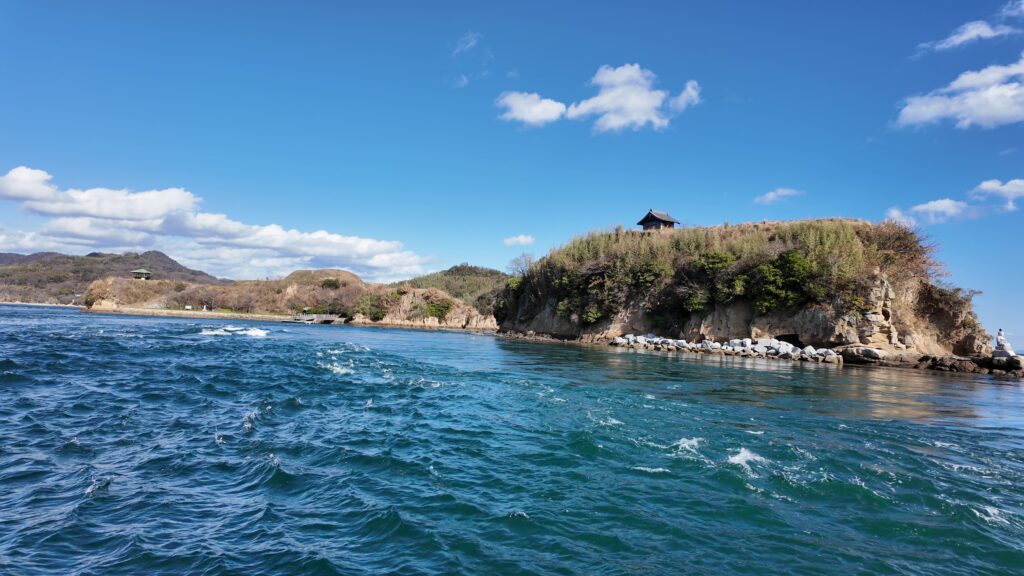
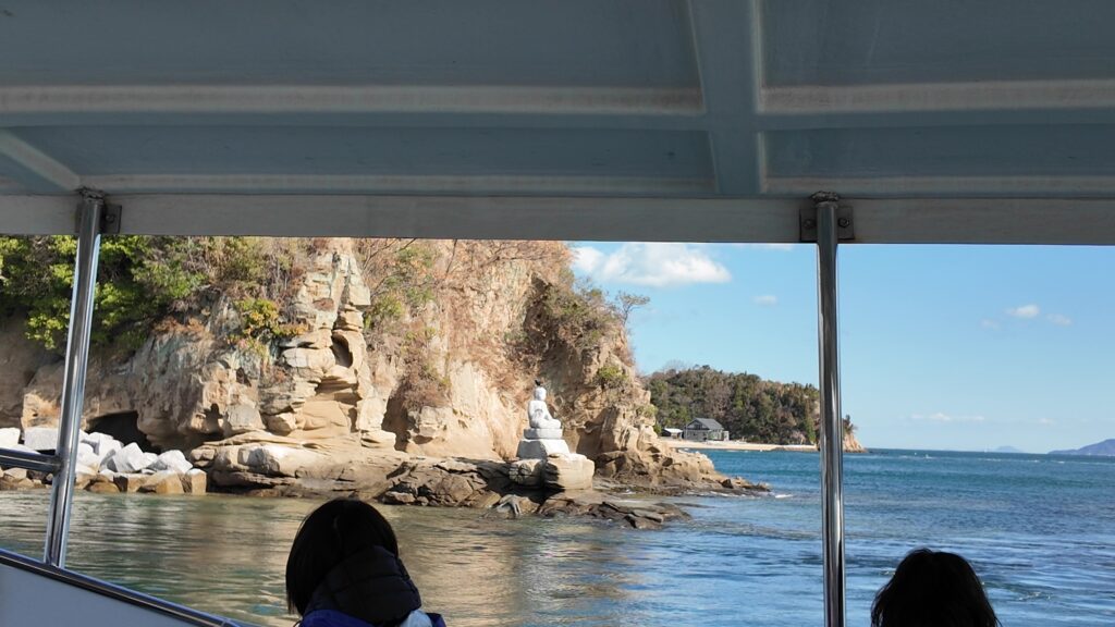
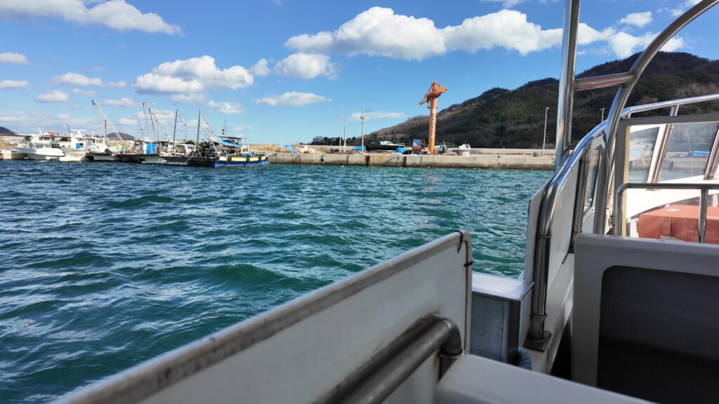
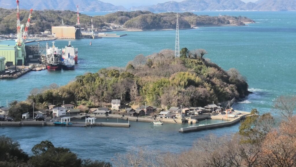
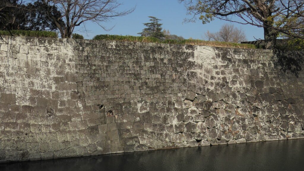
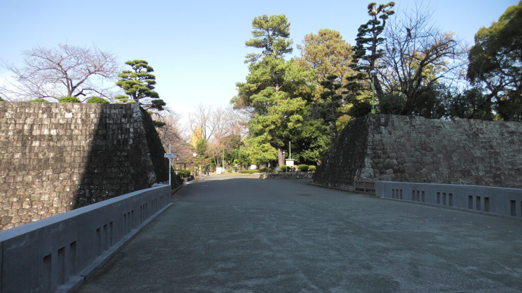
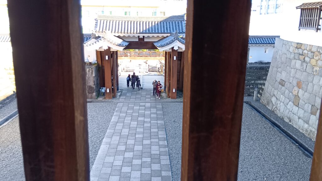
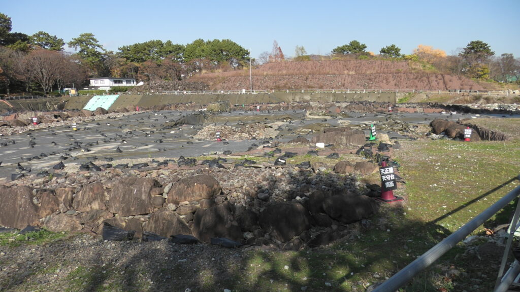
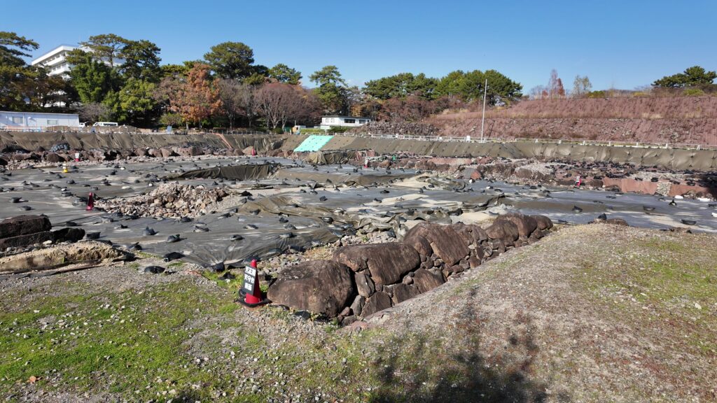
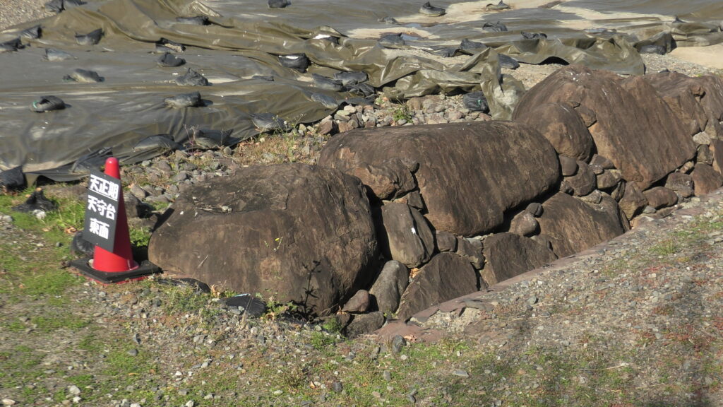
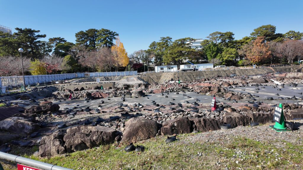
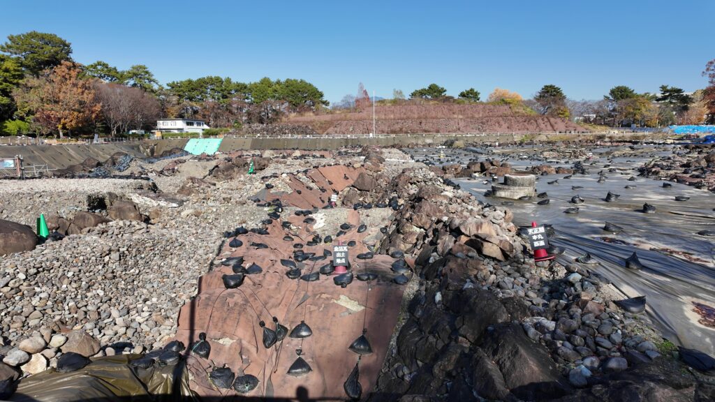
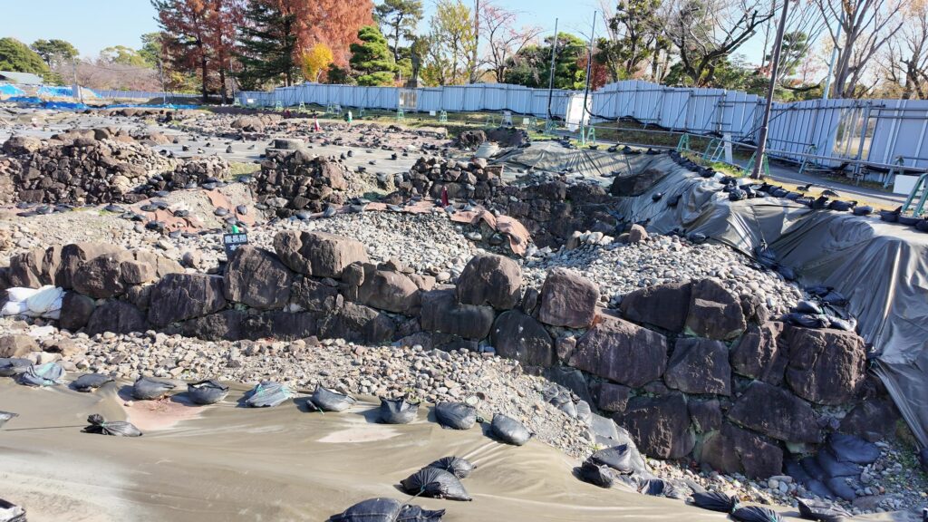
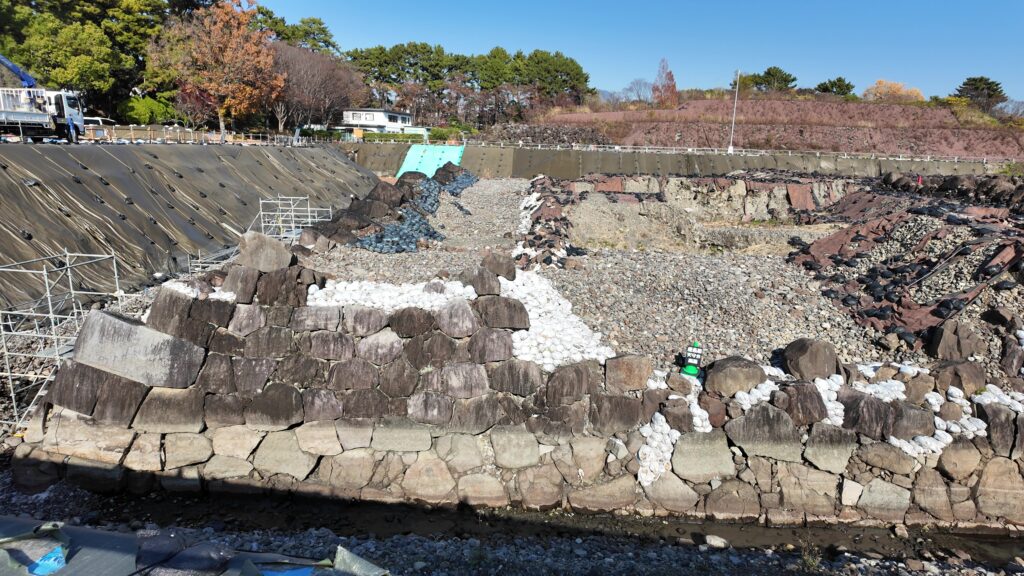
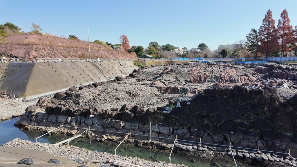
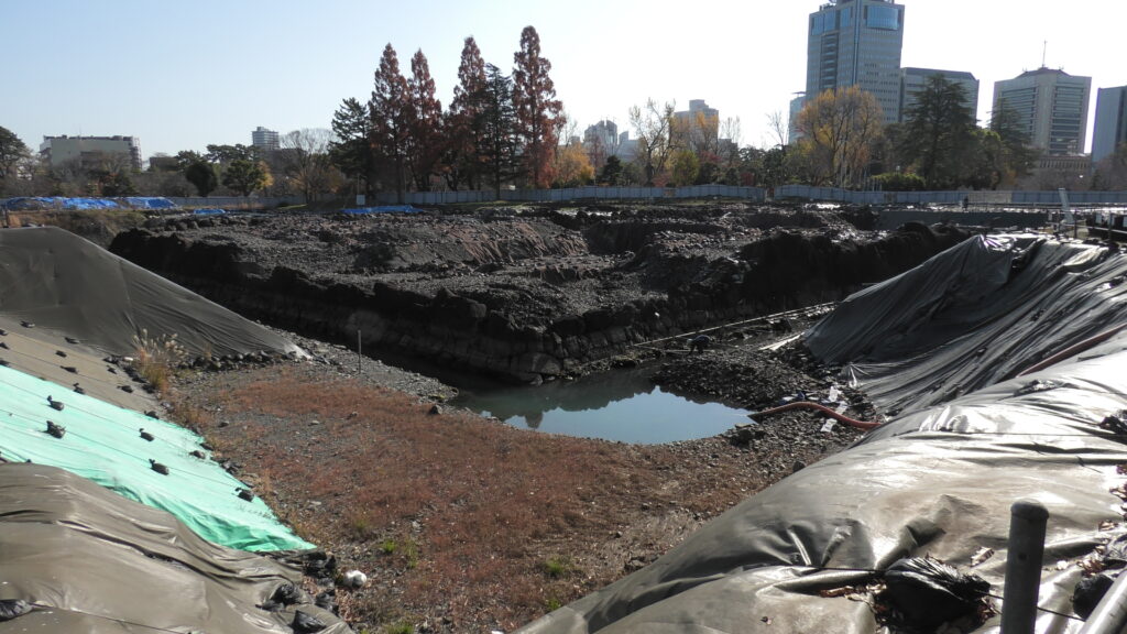
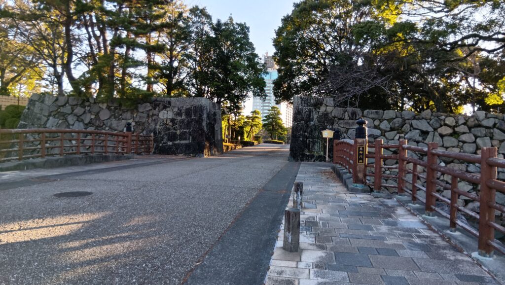
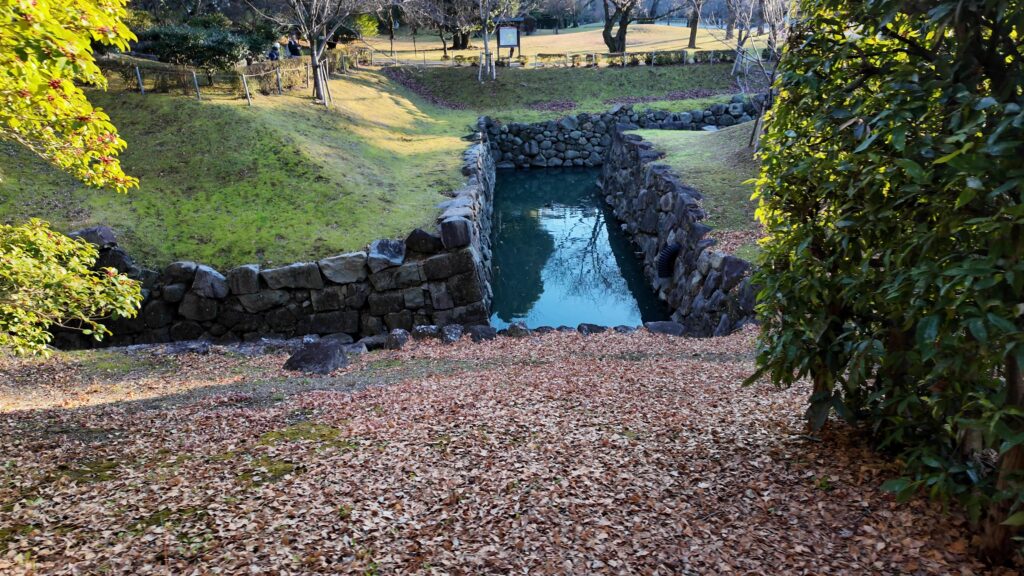
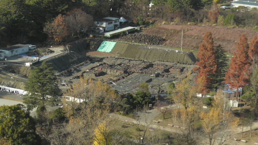
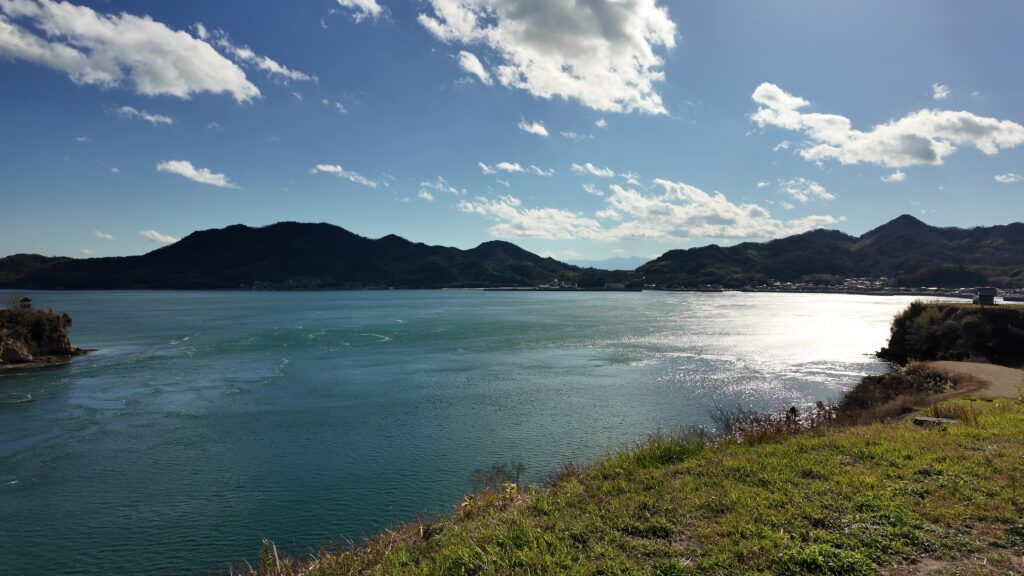
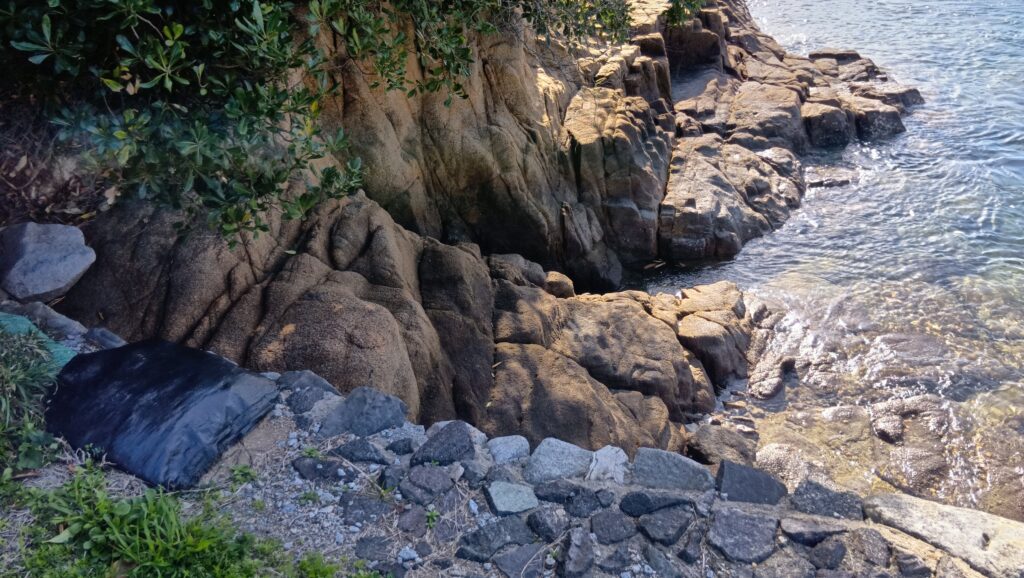
 能島城跡
能島城跡
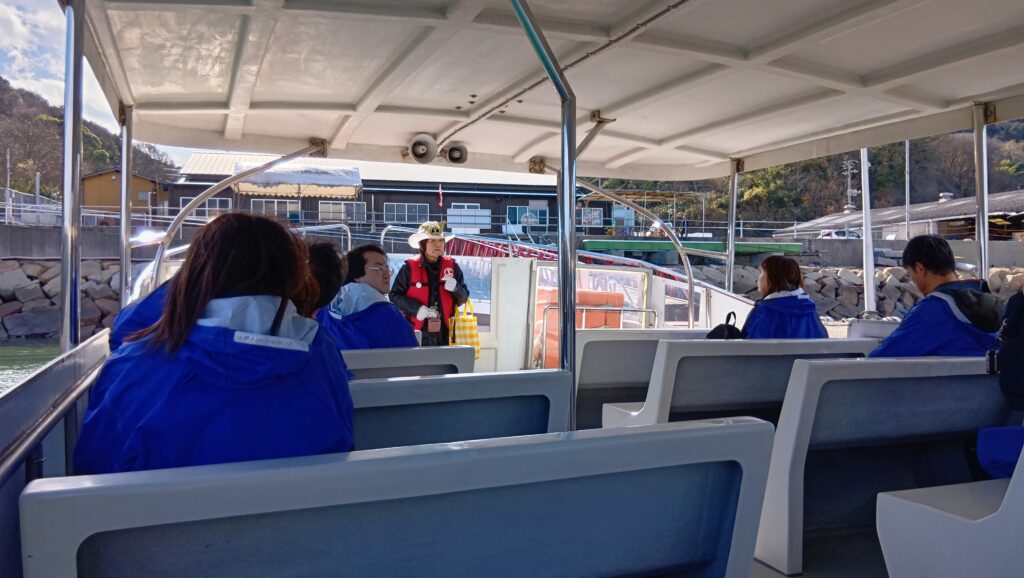
今回の内容を趣向を変えて、Youtube にも投稿しています。よろしかったらご覧ください。
立地と歴史(村上海賊と能島城の歴史)
瀬戸内海航路の案内役
村上氏は、瀬戸内海の芸予諸島を根拠にした典型的な海賊衆でした。近代以前、水運は最も効率的な交通手段で、瀬戸内海はその大動脈だったのです。しかし芸予諸島周辺の海流は急速かつ複雑であり、船を安全に航行させるには地元の海の民の誘導が必要でした。つまり「海賊」のニーズが一番ある場所だったのです。
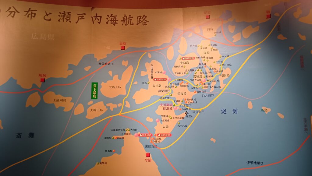 芸予諸島の航路図、村上海賊ミュージアムにて展示
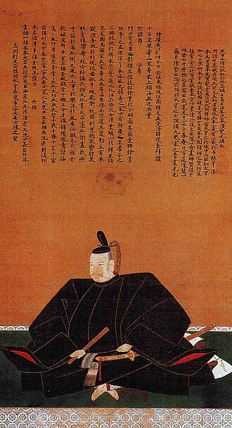
「海賊」村上氏の始まりははっきりしませんが、始祖は北畠顕家で、その子・村上師清が伊予に下向してきたという伝承があります。師清の三人の子(義顕・顕忠・顕長)がそれぞれ、能島・来島・因島の各村上氏に分かれていったとされています(「萩藩譜録」)。この3ヶ所は、それぞれ「沖乗り航路」「伊予地乗り航路」「安芸地乗り航路」という瀬戸内海航路を押さえる拠点でした(②③)。
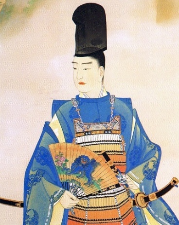 北畠顕家肖像画、霊山神社蔵(licensed under Public Domain via Wikimedia Commons)
彼らが「海賊」として台頭したきっかけは、室町時代に小早川氏が芸予諸島に進出したことでした。小早川氏に侵入された荘園領主が、幕府などに訴えたとき、その警固を行ったのが村上氏だったのです。(1349年「東寺百合文書」が初出、「野島」に酒肴料」を支払っている、⑦)。その後、伊予の守護・河野氏と連携して、勢力を広げていきました(②)。時代が下ると、今度は村上氏が荘園を押領しています(⑦、下記補足1)。
(補足1)弓削島押領人の事、公方奉公小早川小泉方、海賊能島方、同山路方、此三人の内小泉専ら押領也」(1462年、寛正3年5月「東寺百合文書」)
彼らの警備システムは次のようなものでした。積荷の1割程度と言われる警固料を支払った船に対しては、「海賊」が同乗して安全な航路へ誘導するほか、他の「海賊」に襲われることもありませんでした。室町時代に日本を訪れた朝鮮の役人がそのように記録しています(下記補足2)。船に通行証のような旗(過所船旗)を立てることもありました。
(補足2)「瀬戸内海を東から西へ向かうなら東の海賊(大阪湾沿岸部)を一人船に乗せておけば西の海賊(芸予諸島周辺)が襲うことはない。西から東に向かう場合なら西の海賊を乗せておけばよい」(「老松堂日本行録」、①)
 現存する過所船旗、山口県文書館蔵(licensed under Public Domain via Wikimedia Commons)
一方、警固料を支払わない船に対しては「海賊」は略奪者になりました。因島村上家に残る記録(「武家万代記」)には、1551年(天文20年)に「関所破り」をした船を襲撃した話が載っています。将軍に献上する米を運ぶ船(「陶殿廻船」)が、海の関所・上関を(「切手」なしで)むりやり突破したため、その情報は「継船」で能島村上氏当主の・村上武吉にもたらされました。そこで能島・因島の海賊衆は、瀬戸内海の途中で待ち伏せ、関所破りの船が来たところで、鉄砲を撃ちかけ、軍船で乗り付け、焙烙玉を投げ入れ、制裁を加えた上で、荷を略奪したのです(④、下記補足3)。つまり、当時の多くの人たちは「海賊」の縄張りを通る者は、通行料を払うべきという感覚を持っていたのかもしれません。当時の旅行者にも、無理やり払わされた通行料を「礼銭」と記した記録があるそうです(⑦)。
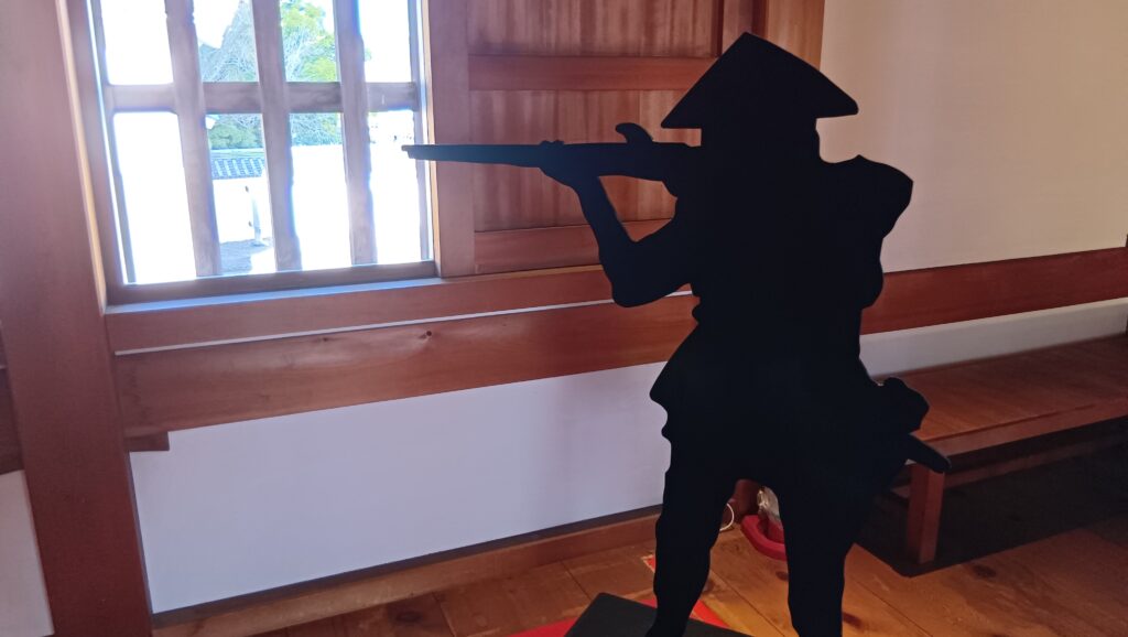
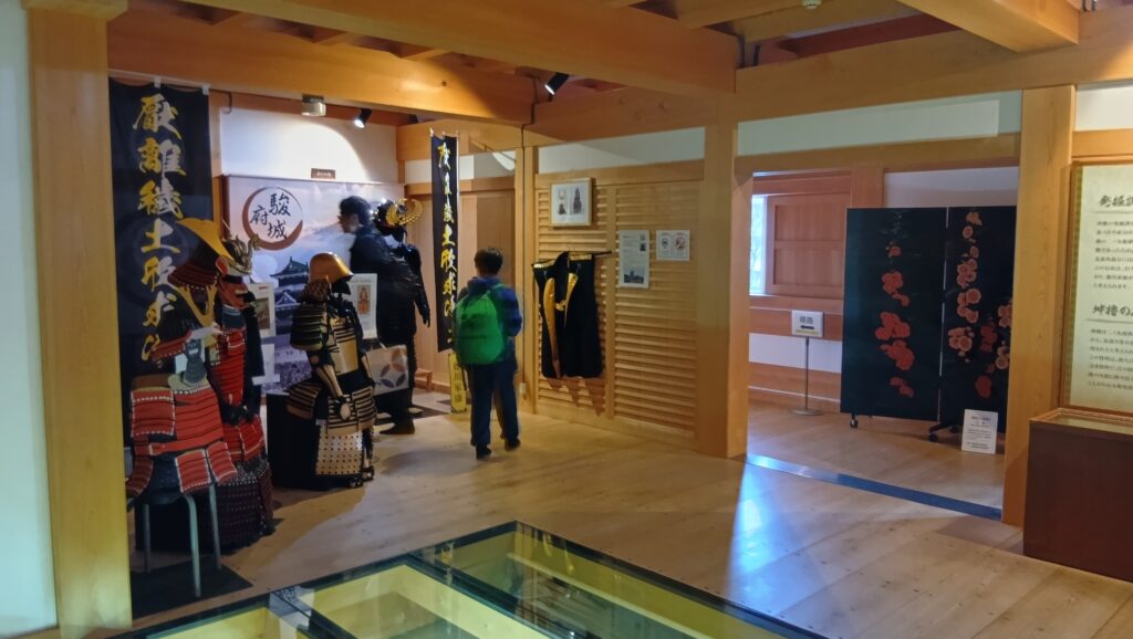
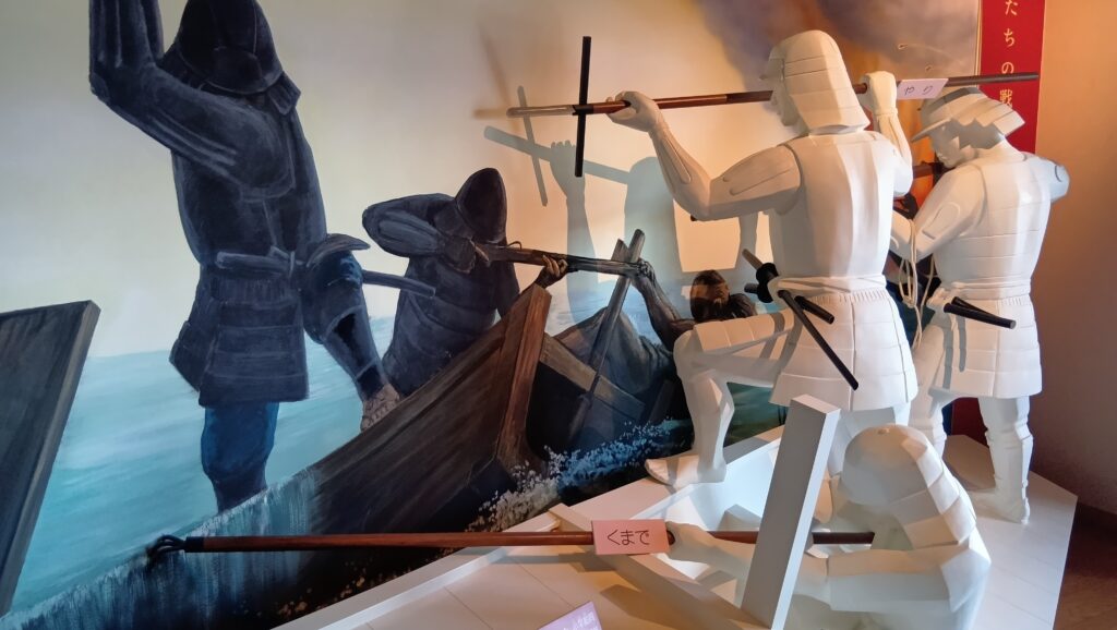 戦う海賊衆、村上海賊ミュージアムにて展示
(補足3)大内・大友両家粮舟切り捕り候事
一.免符これ無き船、切り捕り候事、年々月々計り難き儀に御座候えども、それは記し難く候、天文廿年の冬、陶殿の廻船三十艘、米二千石余り積み、上方へ運送仕り候、上ノ関にて相究め申す所に、切手これ無く、宇賀嶋衆百人ばかり上乗り仕り候て推し通り申し候、古より嶋の作法にて通り難き由申し届け候へば、公方へ進上の米、其の上宇賀嶋上乗り仕り罷り通り候に、誰人にてとがめ申すと候て、要害へ鉄炮を打ち掛け通り申し候えども、多勢故通し申すの由、日の内に両嶋(能島・因島)へ継船申し来たり候、武慶(村上武吉)腹立て申され、切り捕り申すべき由申し談じ、(略)敵船瀬戸へ推し掛かり、少し帆をさげ申す時、陸より鉄炮を掛け申し候へば、楼に乗り申す者ども下へほろげ落ち申し、櫓をはやめ申し候時、能嶋貝を吹き立て、相図の旗を挙げ申し候えば、因ノ嶋も時の声にて推し掛かり申し候、敵船所柄、両島へも遠所なれば、加様は有間敷と油断仕り申し候故、以の外騒ぎ、俄に帆をさげ、能嶋方へ少し楫をむけ申し候を、因ノ嶋方弓・鉄炮にて射立て候えども、楼へ取り上り、鎗を取り申すものはこれ無く候て、どうかべ(胴壁)のかげにて弓・鉄炮を論じ申し候を、ヒシビシと乗り付け、ホウロクをなげ入れ申し候故、先船四・五艘造作もなく仕付け申し候、(略)左候て、粮舟共、残らず陸際へ引き上げ申し候も逃げ延び申すをば推し掛かり引き戻し、又は命を助け申し候はば船中の荷物残りなく進上申すべく候と、詫事申す船も御座候、昔より三島の作法に、警固の船を頼り通り過ぎ、関所を偽り申す事、罪過に行い申す法度にて候故、水夫共捕らえ候て、各額に焼印を当て候て赦し申し候、惣粮七千石切り捕り申し候、この運送は公方様へ進上の米にて御座候、しかしながら関所過書等もこれ無く、あまつさえ狼藉仕り候故、かくの如くに候事、(「武家万代記」)
能島城とは?
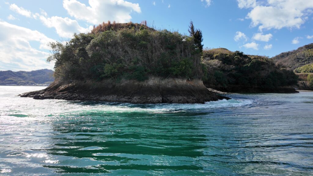
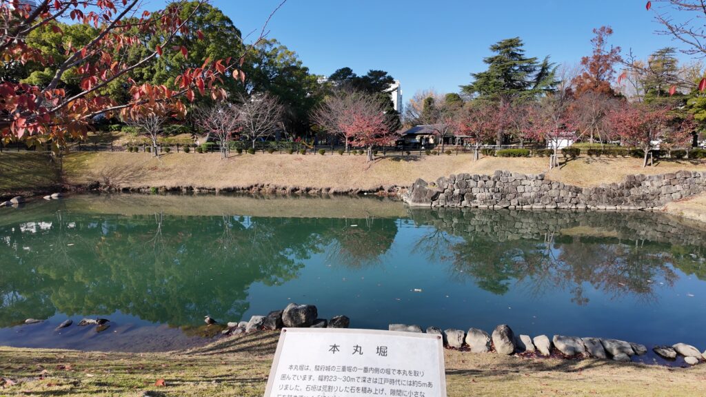
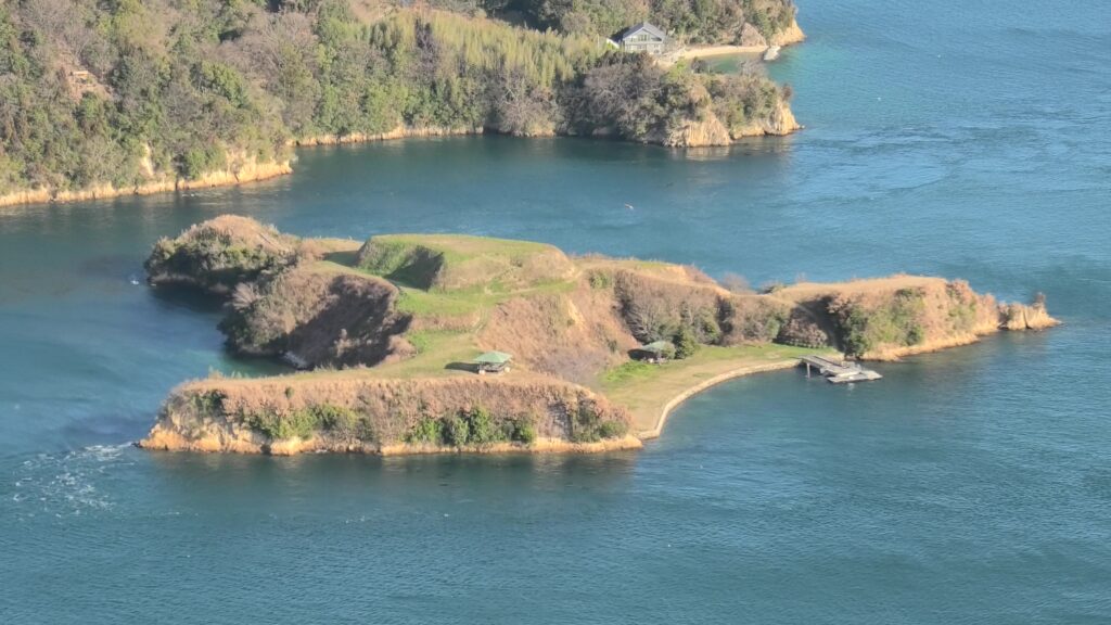
この城は、能島村上氏の拠点として、瀬戸内海を通る最短ルートの一つの途中、宮窪瀬戸にある周囲850m弱の能島に築かれました。近くの鯛崎島(周囲約250m)も橋でつながれて一体化していたと考えられています(④⑤)。発掘調査によれば、14世紀ころ築かれたとのことです(⑦)。
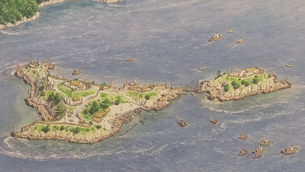 能島城+鯛崎島の想像図、村上海賊ミュージアムにて展示
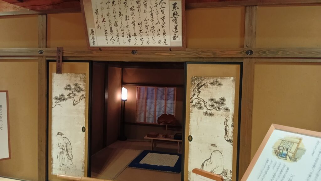
もっとも、能島村上氏の本拠の館は、居住に適した伯方島か伊予大島にあったとも言われていて、その場合能島城は、周りと連携して機能する出城・番城の位置づけだったのでしょう(②)。また、能島から約1km離れた小島・見近島でも当時の集落跡や交易品が発掘されていて、物流基地だったのではないかとされています(④)。つまり、彼らは普段は海の民として交易や漁業も行っていたのです。
 本拠地の候補地、伊予大島の幸賀屋敷跡
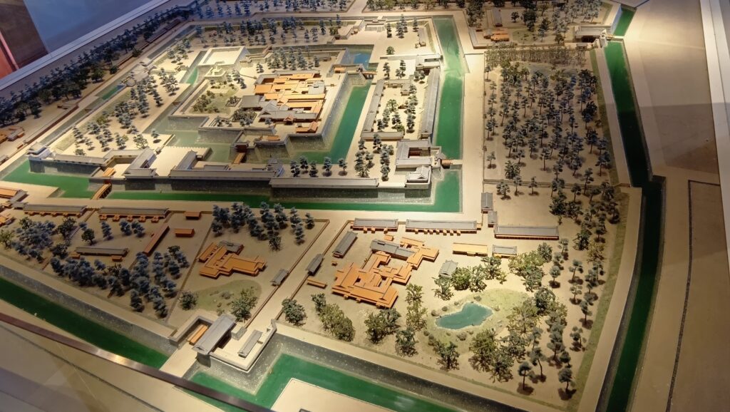
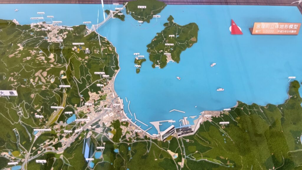 能島周辺のジオラマ、能島は真ん中の小島、見近島は情報の伯方・大島大橋の下、村上海賊ミュージアムにて展示
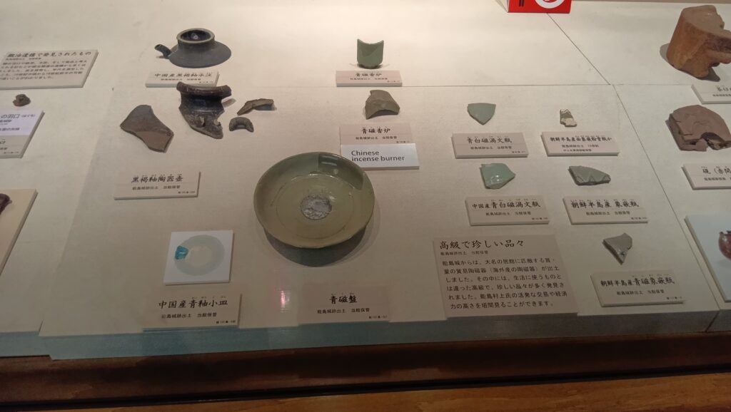
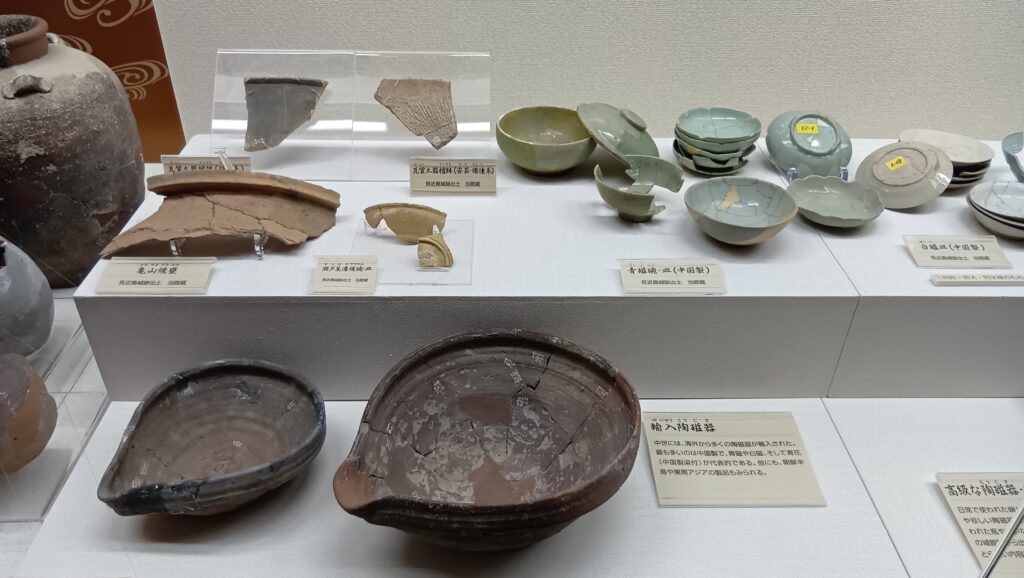 見近島から発掘された交易品、村上海賊ミュージアムにて展示
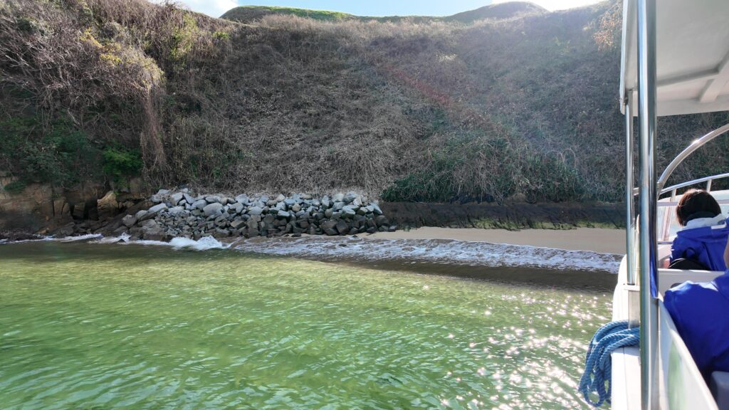
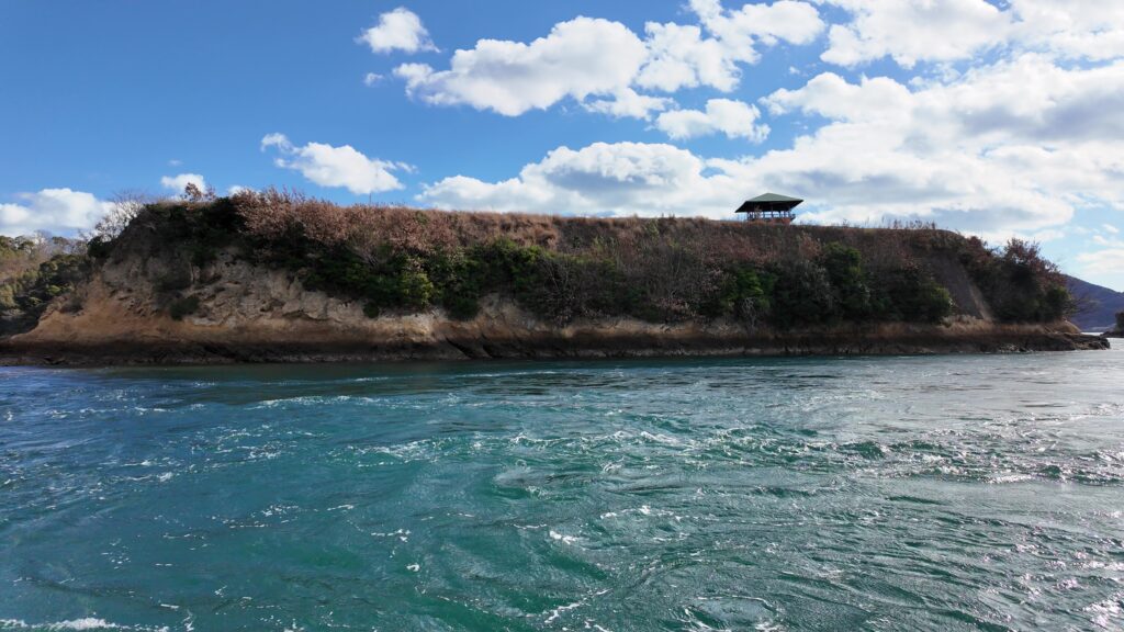
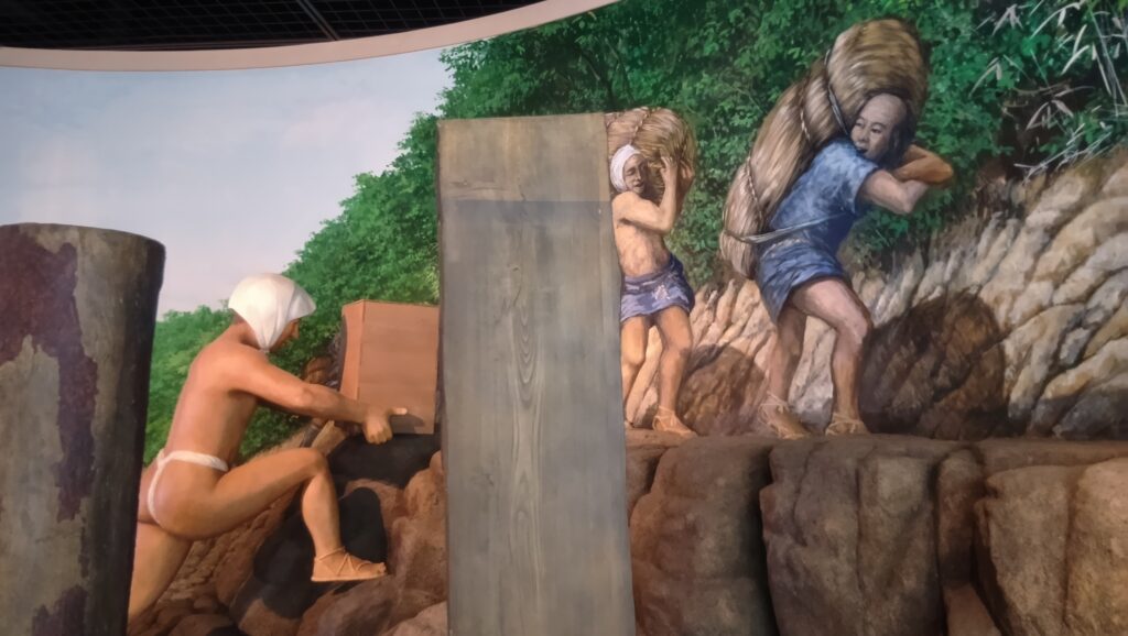
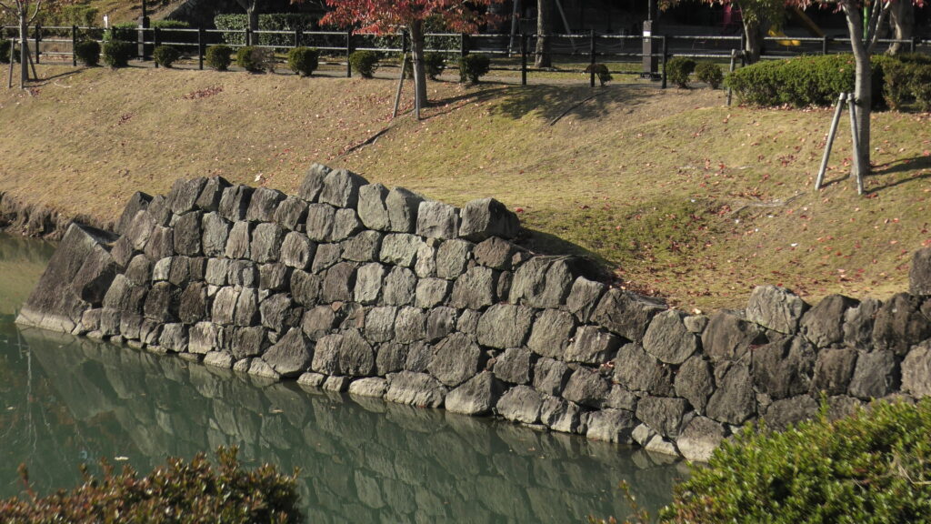
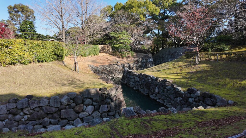
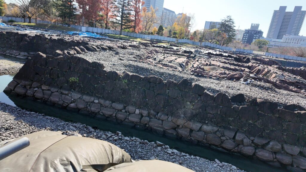
能島は整地されて曲輪が作られ、本丸には物見やぐら(井楼)があった可能性があります(⑤)。ここからは海峡の全体を見渡すことができ、大島にある山の上で焚かれた烽火や、大島の山あいを超えて四国までも見通すことができました(⑥)。二の丸・三の丸には住居や倉庫がありました。見張りのための兵が常駐していたのでしょう。海岸には荷上場(船だまり)、島の突端には出丸や鍛冶場などが設けられました。島の周り中には今でも、岩礁ピットと呼ばれる多数の柱穴が残っていて、桟橋や武者走りがあったと想定されています(④⑤)。最大のものは直径1メートルもあって、ここに柱を立てて出丸を作っていたのではないかという意見もあります(②)。一方で、島には水、食料、その他必要な資材は一切なかったため、他の島から運び込む必要がありました(⑥)。
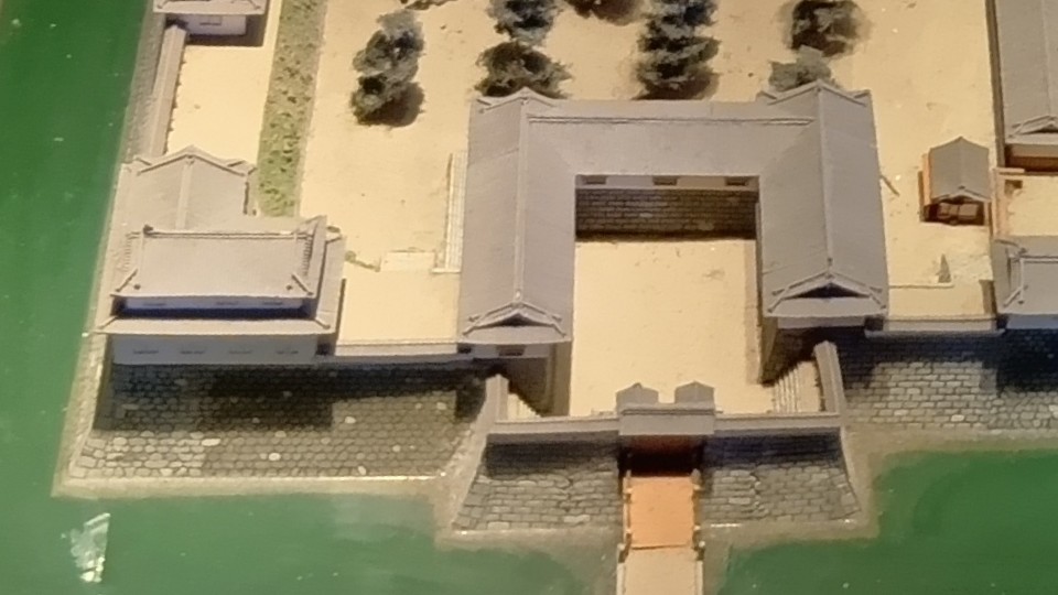
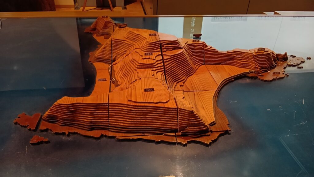 能島城の模型、村上海賊ミュージアムにて展示
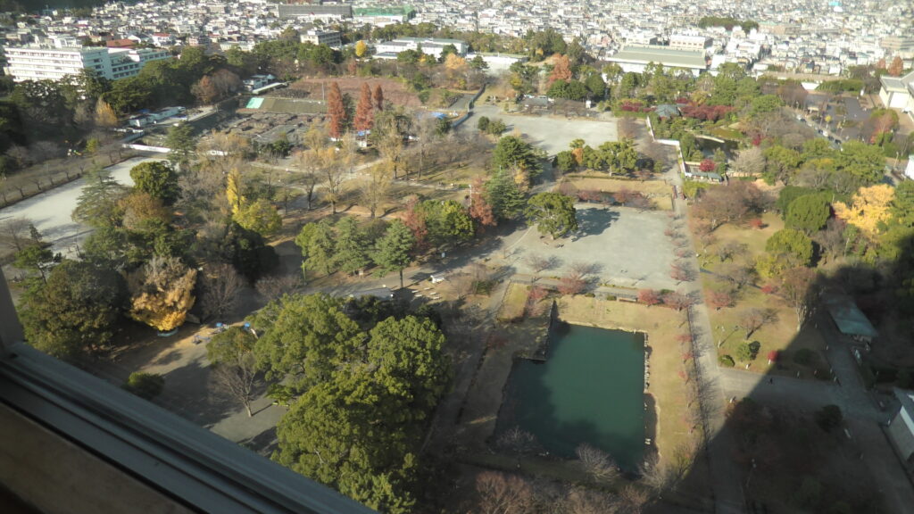
 本丸からの眺め(北方向)
 本丸からの眺め(南方向)
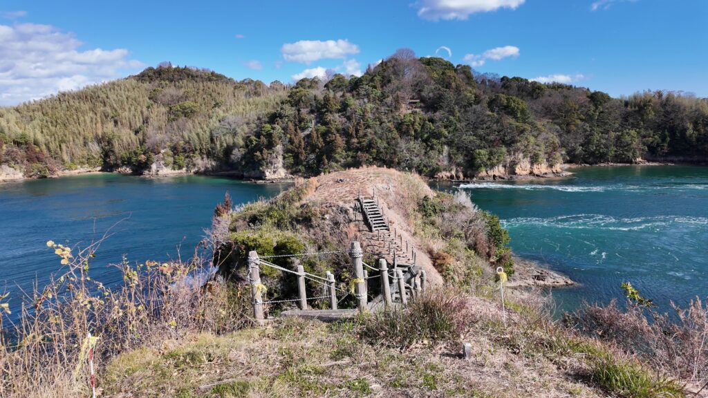
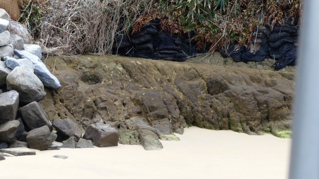 船だまりに残る岩礁ピット
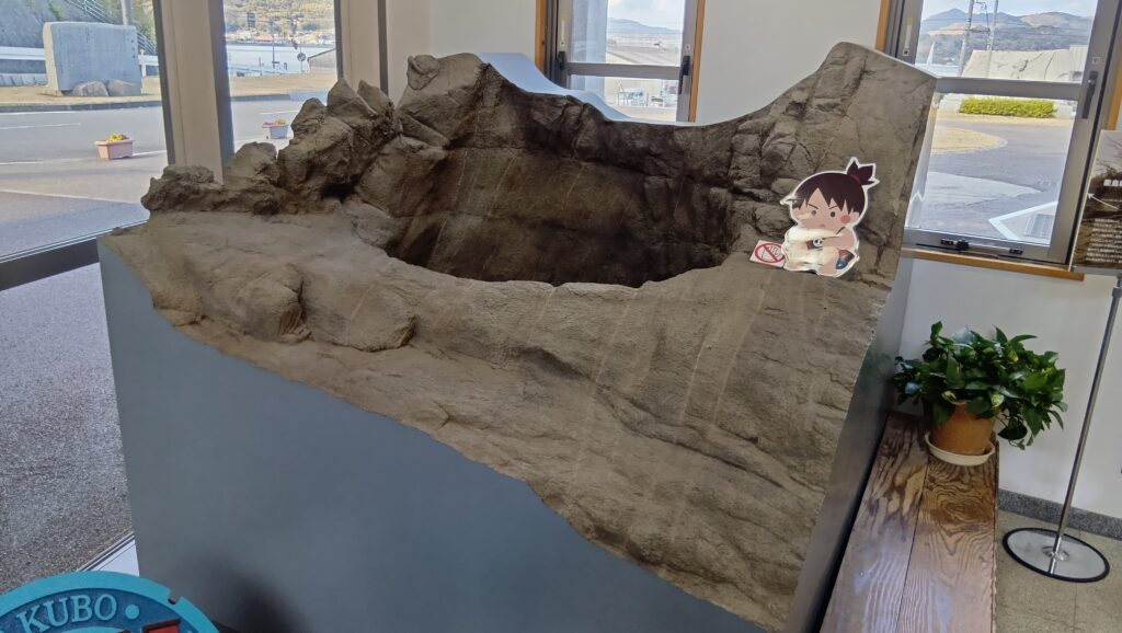 直系1メートルの「謎の大穴」のレプリカ、村上海賊ミュージアムにて展示
能島城を含む、海賊の海城に必要な機能としては、
1.瀬戸を通る船を監視する
2.瀬戸を通る船に対して軍船を出動させる
3.軍船を島に係船する
ことが挙げられます(③)。
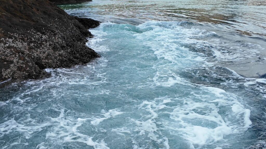
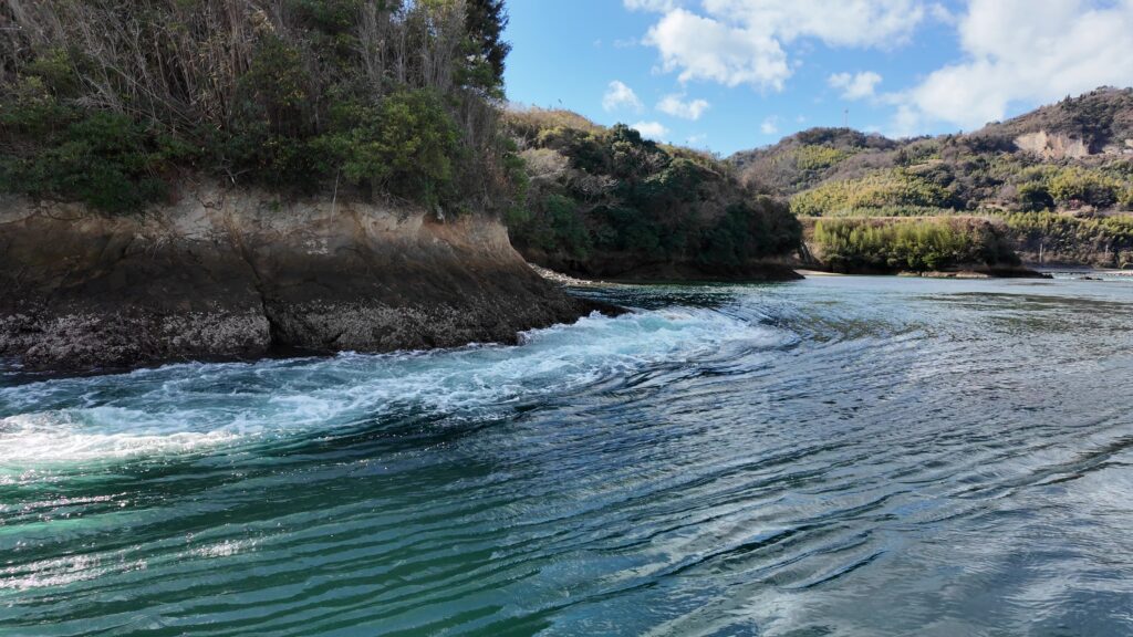
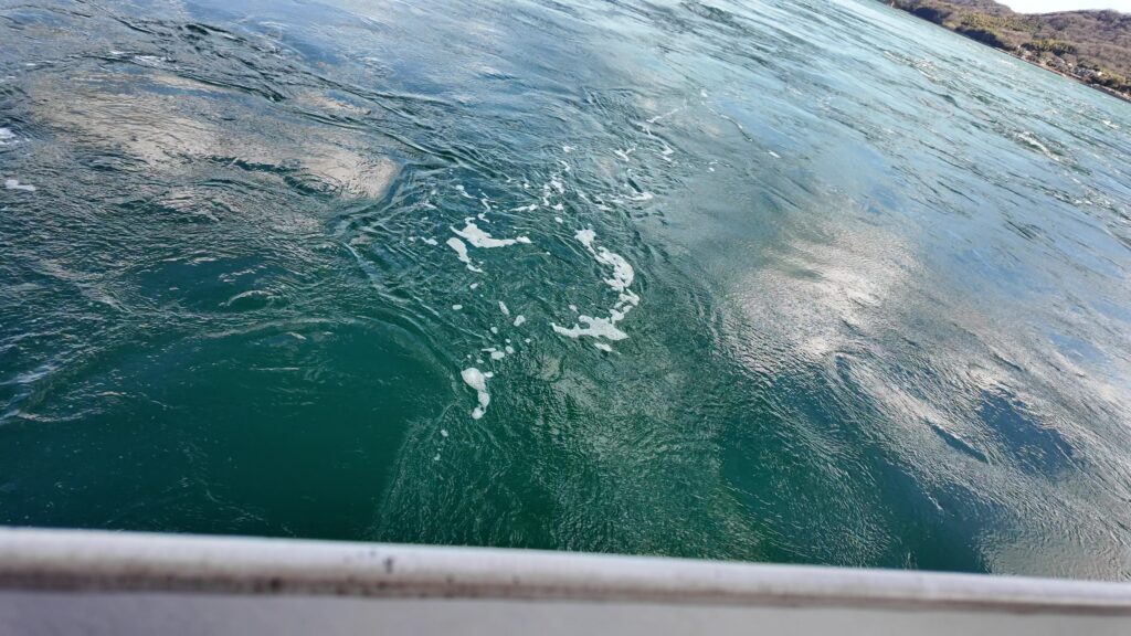
更に4番目として、城としての防御力も必要なのですが、能島城については島の側面に人工的な切岸が設けられた程度なのです。しかし瀬戸の潮流は最大10ノット前後(時速約18.5キロ)のスピードで乱流していて(⑤)、特に浅瀬では渦を巻き、不慣れな船なら制御不能に陥ってしまうほどです。海が堀の役割を果たしていたのです(②⑦)。ただし潮が緩いときもあるので、やはり防御力はあまり考慮されていなかったのではないかという指摘もあります(④)。また能島は、対岸の拠点・伊予大島から約300m沖合にあって、大声で連絡が取りあえる範囲内でした。緊急事態が発生したときにも、お互いに助け合う態勢が取りやすくなっていたのです(⑥)。
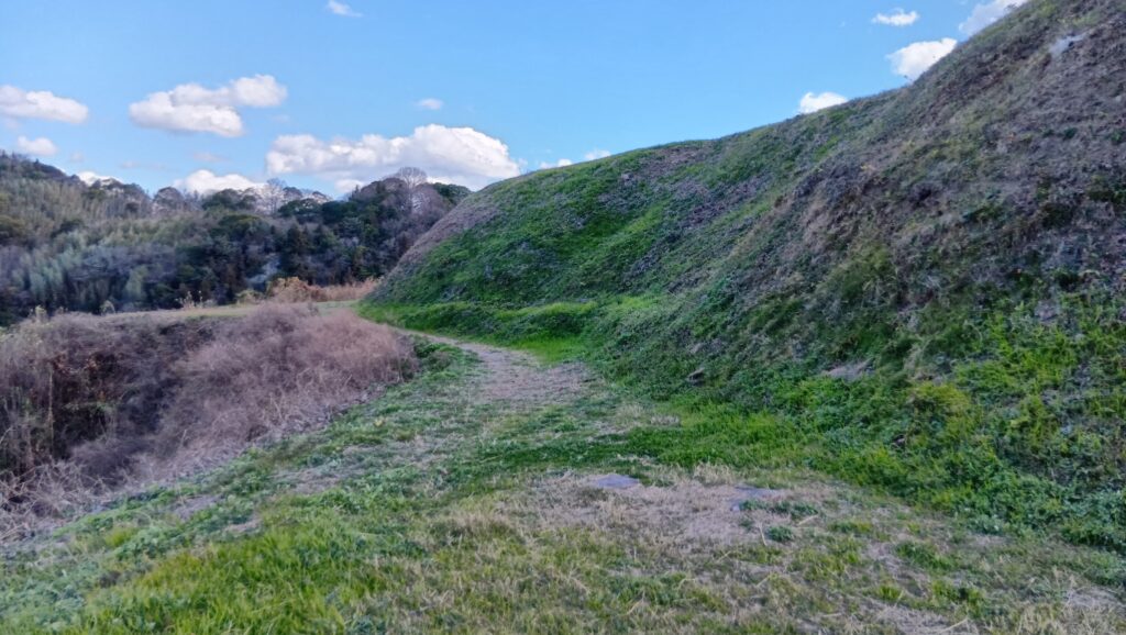
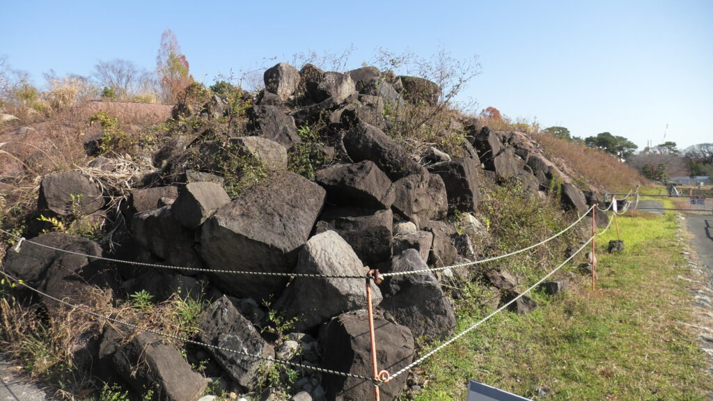
 島の側面の切岸と思われる箇所
 出丸の一つ「矢びつ」周辺の潮流
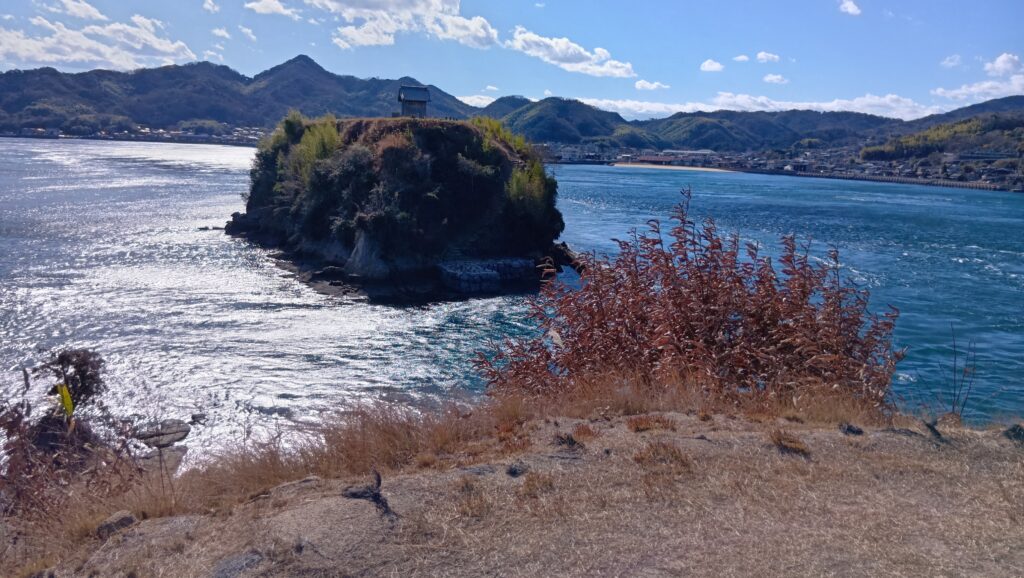
 三の丸から見た伊予大島
村上武吉の時代
戦国時代も後半になると(16世紀中頃~)、村上氏の勢力はピークを迎えます。戦国大名の水軍として力を発揮したのです。能島村上氏では、村上武吉が当主のときでした。有名なところでは、まず1555年(天文24年)に毛利元就と陶晴賢が戦った厳島合戦が挙げられます。しかし確かな同時代史料が少なく、来島村上氏が毛利氏に味方した以外、能島・因島村上氏の動向ははっきりしないそうです(⑦)。(後の時代の史料には、2家の軍船が陶氏の軍船を次々に沈めたいう記事もあるそうですが、②)
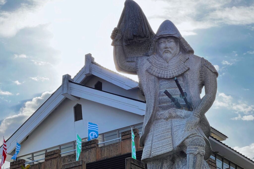 村上武吉石像、村上海賊ミュージアムにて展示(photoAC)
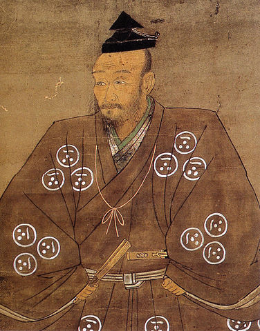 毛利元就肖像画、毛利博物館蔵 (licensed under Public Domain via Wikimedia Commons)
3つの村上氏はいつも同調していたわけではなく、武吉の能島家は独自の行動をとる傾向がありました。一時は、毛利氏と対立する九州の大友氏に接近し、ついには1571年(元亀2年)毛利及び因島・来島村上連動軍から攻撃を受けることになってしまいました(能島城合戦とも言われます)。中国地方では、尼子氏や浦上氏が毛利氏と戦っていて、大友氏と連携していました。能島村上氏は、その利害関係の中で自らの立場を判断したものと思われます。しかし結果的には和議を結び、以後は毛利水軍の一翼を担うようになりました(⑦)。
そして、毛利水軍としてもっとも有名な戦いが、1576年(天正4年)織田信長との第一次木津川口の戦いです。織田軍に包囲された石山本願寺に兵糧を運ぼうとしたところ、織田水軍と合戦になったのです。能島村上氏からは、武吉の嫡男・元吉が大将の一人として参加しています。織田軍は、櫓付の大船ほか約2、300艘の船で警固していました。毛利水軍は巧みな操船で敵船に近づき「ほうろく火矢」を投げ込み、ことごとく討ち果たしたそうです。(②⑦、下記補足4)
(補足4)海上は、ほうろく火矢などという物をこしらえ、御身方の船を取籠め、投げ入れ、投げ入れ、焼き崩し、多勢にかなわず、七五三兵衛、伊賀、伝内、野口、小畑、鎌太夫、鹿目介、この他歴々数輩討死候、西国の船は勝利を得、大坂へ兵粮入れ、西国人数打ち入るなり(「信長公記」)
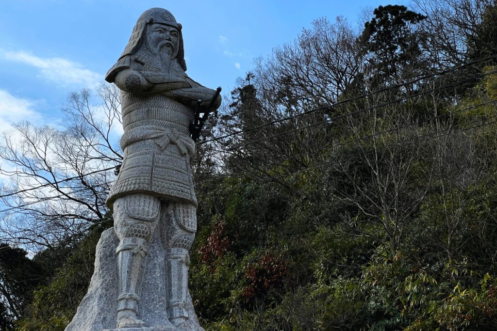 村上元吉石像、村上海賊ミュージアムにて展示(photoAC)
 第一次木津川口の戦い、村上海賊ミュージアムにて展示
後に豊臣秀吉による天下統一が進んでいるとき(1586年、天正14年)、宣教師のルイス・フロイスが堺から九州・臼杵まで船に乗ったとき、能島村上氏の領域を通行しました。彼は、恐らく武吉のことを指す「能島殿」を「日本最大の海賊」と呼んでいます(下記補足5)。そして彼ら一行も、能島殿から通行証を手渡されたのです(下記補足6)。
(補足5)我らは、ある島に到着した。その島には日本最大の海賊が住んでおり、そこに大きい城を構え、多数の部下や地所や船舶を有し、それらの船は絶えず(獲物を)襲っていた。この海賊は能島殿といい、強大な力を有していたので、他国の沿岸や海辺(の住民たち)は、(能島殿)によって破壊されることを恐れるあまり、彼に毎年、貢物を献上していた。(「フロイス日本史」)
(補足6)(能島殿)に対して、我らがその署名によって自由に通行できるよう、好意ある寛大な処置を求めた。(能島殿)は、その(派遣された)修道士に尊敬を払い、手厚くもてなし、彼らを自らの居城に招待した。そして己が好意をより高く売りつけようとして、いくらか躊躇しながら言った。「伴天連が、天下の主、関白殿の好意を得て赴かれるところ、某ごとき者の好意など必要ではござらぬ」と。だが修道士がしきりに懇願したので、彼は、怪しい船に出会ったときに見せるがよいとて、自分の紋章が入った絹の旗を署名を渡した。(同上)
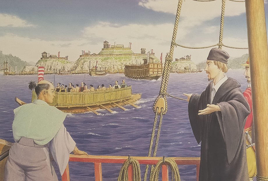 ルイス・フロイス、能島を訪れる、村上海賊ミュージアムにて展示
「海賊」と能島城の最期
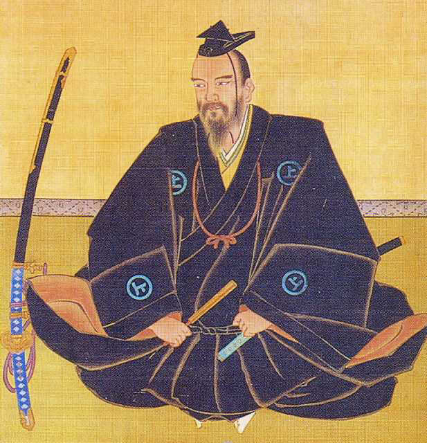
海賊衆を含む毛利水軍の大きな挫折となったのが、第一次から2年後の第二次木津川口の戦いです。再び本願寺を救援するために現れた毛利水軍に対し、織田水軍は、九鬼喜隆が指揮する6隻の大船に大鉄砲を積み、毛利方を駆逐しました。(下記補足7)なお、織田方の大船は「鉄の船」だった記録がありますが(下記補足8)、どこまで鉄板などを装備していたのかは不明です(⑦)。
(補足7)六層の大船に大鉄炮余多これあり、敵船を間近く寄せ付け、大将軍の舟と覚しきを大鉄炮を以て打ち崩し候へば、是れに恐れて、なかなか寄り付かず、数百艘を木津浦へ追い上せ、見物の者ども、九鬼右馬允手柄なりと感ぜぬはなかりけり(「信長公記」)
(補足8)堺浦へ近日伊勢より大船調い付き了ぬ、人数五千程乗る、横へ七間、竪へ十二、三間もこれ在り、鉄の船なり、てつはう(鉄砲)とをらぬ用意、事々敷儀なり、大坂へ取りより通路とむべき用と云々(「多聞院日記」天正6年7月20日条)
 九鬼喜隆肖像画、毛常安寺蔵 (licensed under Public Domain via Wikimedia Commons)
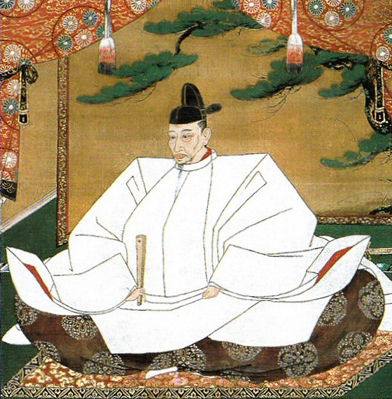
そして織田が毛利領に侵攻するようになると、海賊衆に対して、羽柴秀吉による調略の手が伸びてきます。それは、村上武吉・元吉父子も対象でした(下記補足9)。小早川隆景は21通もの書状を能島村上氏に送り、引き留め工作を行いました。結果、能島は残ったものの、来島村上氏が織田方に離反しました。毛利・能島方は、本拠地の来島城を攻撃、1583年(天正11年)に城は落城、当主の村上通総は秀吉の下に退去しました。これによって能島村上氏は最大の勢力圏を得たのです(東は備前児島・塩飽諸島。西は周防灘・豊後水道、②)
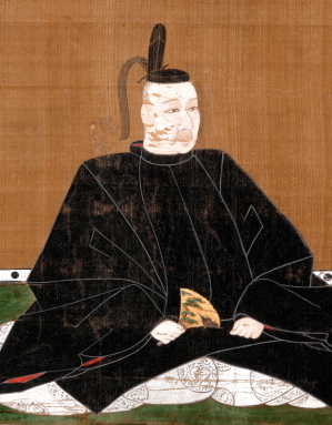 小早川隆景肖像画、米山寺蔵 (licensed under Public Domain via Wikimedia Commons)
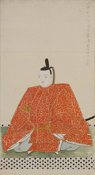 村上通総肖像画、東京大学史料編纂所蔵 (licensed under Public Domain via Wikimedia Commons)
(補足9)秀吉は信長の命を受けて、能島来島から家臣をひとりずつ播州姫路の自陣にひそかに招いた。能島からは大野兵庫直政が出かけた。秀吉は、将来は四国を、当座は伊予十四郡を与えることを条件に武吉・元吉の忠節を求め、もし武吉・元吉が承知しないなら大野直政だけでも自軍に味方するように説得した。大野は、さっそく武吉・元吉に秀吉の条件を伝えたが、毛利家からも乃美宗勝を使者として懸命の説得があったので、結局秀吉とは手切れをし、毛利家に味方することになった。(「萩藩譜録」、現代語訳は⑦)
しかしこの状況は長続きしませんでした。天下人となった秀吉が、来島村上氏の帰還を要求してきたのです。四国攻めの後、伊予国の領主になった隆景の庇護の下、妥協が図られましたが、九州攻めの後(1588年、天正16年)、隆景が九州に転封になると、武吉・元吉も能島を離れることになりました。移動先は毛利領の周防屋代島と安芸能美島であったと考えられます(⑦)。
 豊臣秀吉肖像画、加納光信筆、高台寺蔵(licensed under Public Domain via Wikimedia Commons)
そして追い打ちをかけたのが、秀吉の「海賊禁止令」です(下記補足10)。これは「海賊」行為を重ねてきびしく禁止している内容ですが、それを破っていたのは能島村上氏だったようなのです。禁止令に続けて、隆景宛て能島村上氏に対する秀吉の詰問状が発せられているからです。彼らは移った先でも「海賊」であり続けたのです。ついには九州に移住させられ、ここに「海賊」の時代は終わったのです。このときまでに能島城は廃城になったと思われます。能島村上氏の子孫は毛利氏長州藩の家臣(船手組頭)になりました。
(補足10)定
一.諸国海上において賊船の儀、堅く御停止成さるの処、今度備後・伊予両国の間伊津喜島にて、盗船仕るの族これある由聞こし食され、曲事に思し食す事、
一.国々浦々船頭・猟師、いづれも船つかひ候もの、其所の地頭・代官として速く相改め、向後、聊か以て海賊仕るまじき由誓紙申付け、連判をさせ、其国主取あつめ上申すべき事、
一.自今以後、給人・領主油断を致し、海賊の輩これあるにおいては、御成敗を加えられ、曲事の在所知行以下、末代召上らるべき事、
右条々堅く申付くべし、若し違背の族これあらば、忽ち罪科に処せらるべきもの也、
天正十六年七月八日(秀吉朱印)(「早稲田大学所蔵文書」)
(補足11)能島が海賊行為をしているとの情報を聞いたが、それは言語道断の曲事である。本来なら当方で成敗するところであるが、小早川の持分であるから、隆景に処分を任せる。もし言い分があれば村上元吉を大坂に上らせよ。(天正16年9月8日付、小早川隆景宛て豊臣秀吉朱印状、現代語訳は⑦)
 村上武吉の次男村上景親肖像画、長州藩の船手組頭になりました、村上海賊ミュージアム蔵 (licensed under Public Domain via Wikimedia Commons)
リンク・参考情報
①歴史群像41号「海の傭兵 戦国水軍/川戸貴史著」 学習研究社
②歴史群像74号「戦史検証 村上水軍興亡史/桐野作人著」学習研究社
③歴史群像179号「地形から読み解く瀬戸内の海賊城と近代要塞/坂井尚登著」ワン・パブリッシング
④村上海賊ミュージアム
⑤能島城跡パンプレット
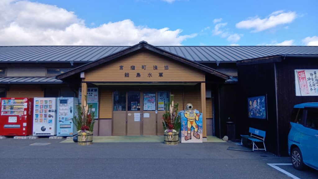
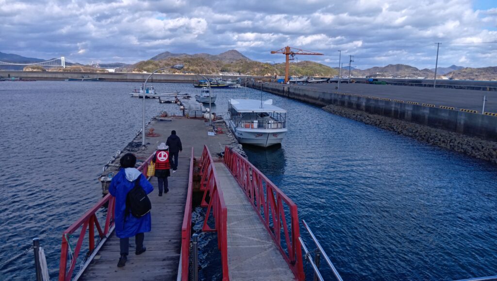
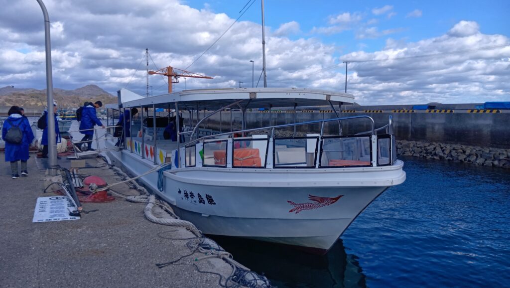
⑥能島上陸&潮流クルーズ
⑦「瀬戸内の海賊 村上武吉の戦い/山内譲著」新潮選書
⑧「小早川隆景のすべて」新人物往来社編
「能島城 その2」に続きます。