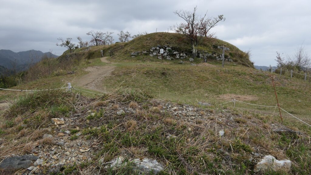
Location and History
City is known for Kishiwada Danjiri Festival
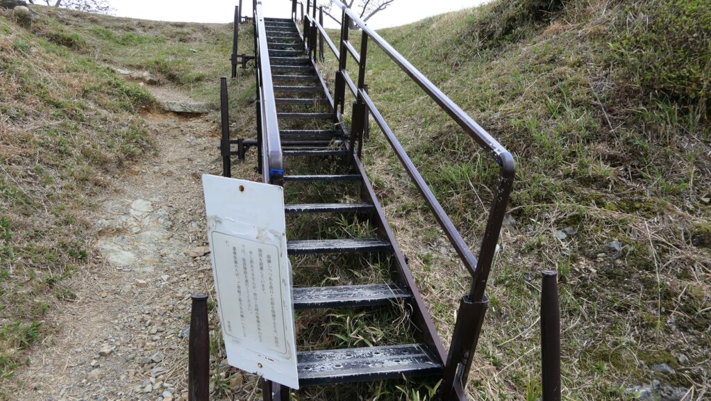
Kishiwada City is known for Kishiwada Danjiri Festival which is held in the city every September. Danjiri means traditional Japanese floats which are pulled around the city area in the festival. The city originates from the castle town of Kishiwada Castle. It is said that the festival also came from a celebration event which a lord of the castle, Nagayasu Okabe held for building a new Inari Shrine in the castle in 1703. The reconstructed Main Tower of the castle can be seen among the city area, for instance, from a train you ride on the Nankai Line between Osaka and Kansai Airport or Wakayama City. However, the scenery of the castle was different from the current one before its long history.


Rulers take over Castle from Local Lords
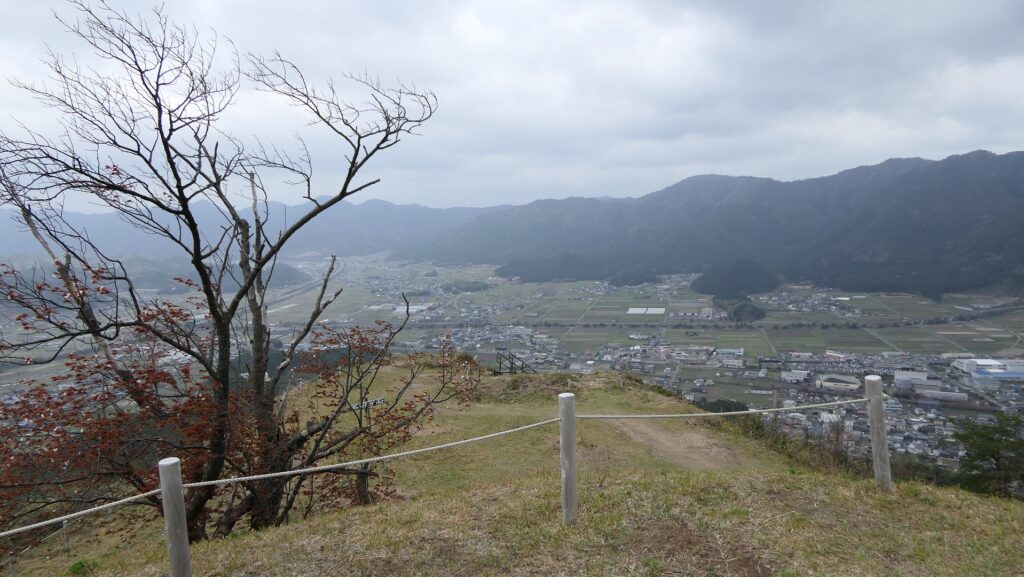
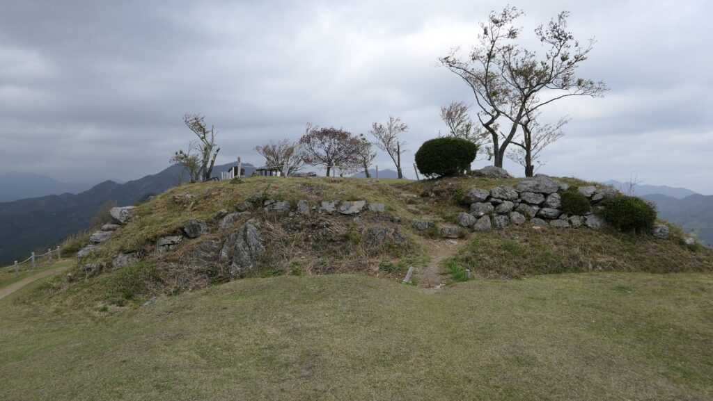
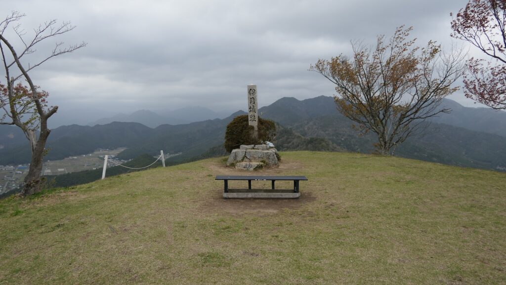
Osaka Prefecture was roughly divided into three provinces in the past; Settsu, Kawachi and Izumi. The Kishiwada area belonged to Izumi Province which was the southern part of the prefecture and had the border with Kii Province in the south. It is still unknown when and how the castle was first built, but historians speculate that a local clan, the Kishiwada Clan had the old Kishiwada Castle sometime during the Middle Ages and moved to the current Kishiwada Castle in the first 15th Century during the Sengoku Period. The castle was followed by other local clans, the Matsura and the Terada Clans. They were able to maintain their castle and territory by serving the persons of power of the time such as the Hosokawa and the Miyoshi Clans.
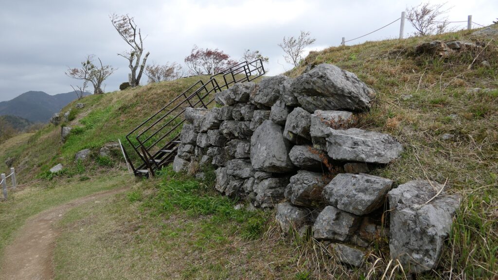
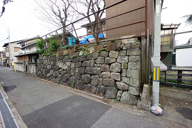
The range of Izumi Province and the location of the castleHowever, the situation didn’t allow them to do so when the rulers as Nobunaga Oda and Hideyoshi Toyotomi processed their unification of Japan in the late 16th Century. They used Kishiwada Castle as the front line against a group of local lords called Saika-shu which owned Kii Province. They also sent their retainers to the castle to govern it directly. For example, Kazuuji Nakamura who worked under Hideyoshi became the lord of the castle and repelled the attacks from the Saika Goup in 1584. Kishiwada Castle was originally a simple soil-made castle on a hill beside Osaka Bay. It is thought that Kazuuji improved it by building the Main Tower and high stone walls. That’s also why the castle managed to survive until today while the other castles in Izumi Province were all abandoned by the rulers.

Development of Castle and Town
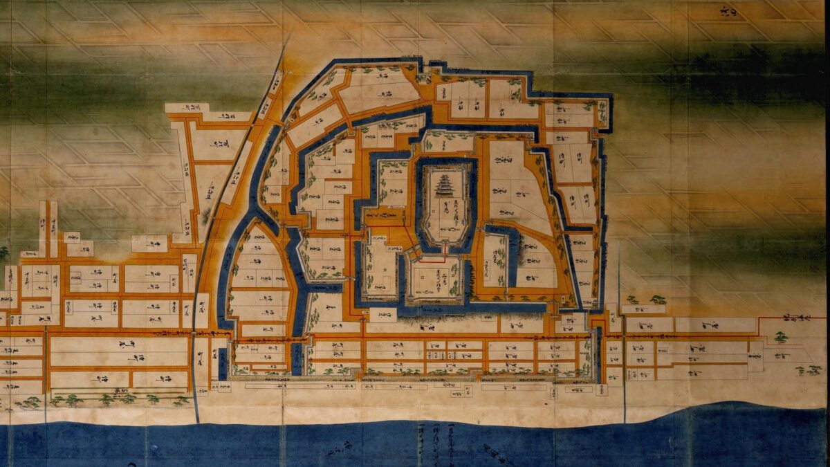
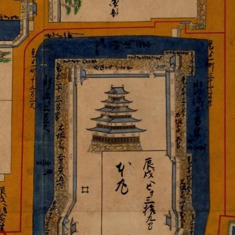
Hideyoshi replaced Kazuuji with Hidemasa Koide, a relative of Hideyoshi in 1585. Hidemasa developed the castle town and the Kishu Road through the town below the Second Enclosure in the west. The tide had actually reached there until then. The Main Gate was also moved from the eastern side to the northern side near the town. It is also thought that he improved or replaced the Main Tower in the Main Enclosure, which had five levels according to the drawing submitted to the Tokugawa Shogunate later on. The shogunate replaced the Koide Clan with Yasushige (Matsui) Matsudaira in 1619, who completed the castle and town. He built new stone walls outside the town in the west to expand it. The castle had probably been small with only the Main Enclosure in the east and the Second Enclosure in the west, but it became larger by adding several enclosures and moats around.

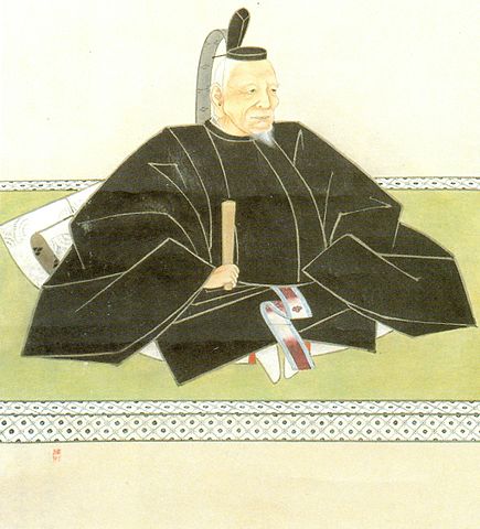
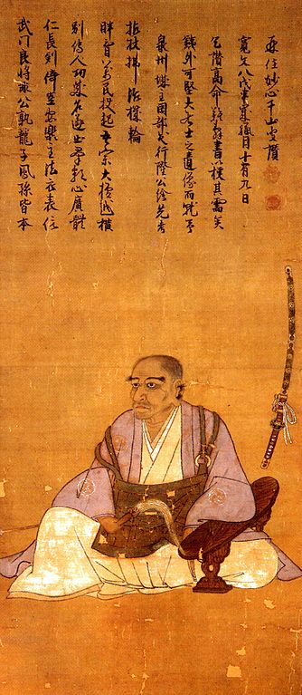
The castle was finally followed by Nobukatsu Okabe in 1640 and his clan governed the castle and the area around as the Kishiwada Domain until the end of the Edo Period. The clan originally came from Suruga Province which is the modern day central part of Shizuoka Prefecture. They served the Imagawa, the Takeda and finally Ieyasu Tokugawa who was the founder of the shogunate. Their government was basically stable in the peaceful Edo Period like the launch of Kishiwada Danjiri Festival. However, the Main Tower was unfortunately burned down by an lightning fire in 1827. After that, the domain planned to restore the tower with the permission from the shogunate, but the periods of warriors and castles ended by the Meiji Restoration before it was done.