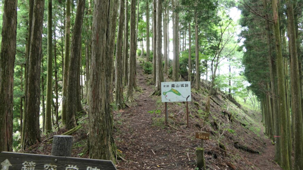
Location and History
Naganao Asano renovates Castle
Ako Castle was located on the western edge of Harima Province, facing the Seto Inland Sea, which is now known as Ako City in Hyogo Prefecture. The castle is known as a stage for the Ako Incident, one of the most popular historical events in Japan. It’s also famous for salt industry since salt fields were developed during the Middle Ages. There is little rain in the area.
The range of Harima Province and the location of the castleIt is said that Nagamasa Ikeda, a little brother of Terumasa Ikeda who was the lord of Himeji Castle, first built the castle in 1600 as their branch castle. A branch family of the clan eventually became an independent lord living in the castle as the Ako Domain in 1615. However, the second lord was fired by the Tokugawa Shogunate in 1645 due to his murder from madness. The details of the first stage of the castle are unknown as Naganao Asano, following the castle and domain in the same year, renovated the castle as we know today. He was the lord of a branch family of the Asano Clan which lived in Hiroshima Castle, and was transferred from Kasama Castle. It was very rare to be allowed to renovate castles by the shogunate after 1615 when it defeated the Toyotomi Clan at Osaka Castle and its government became stable.
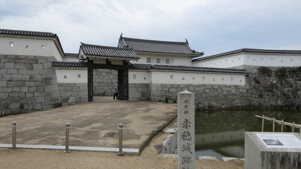
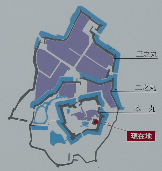
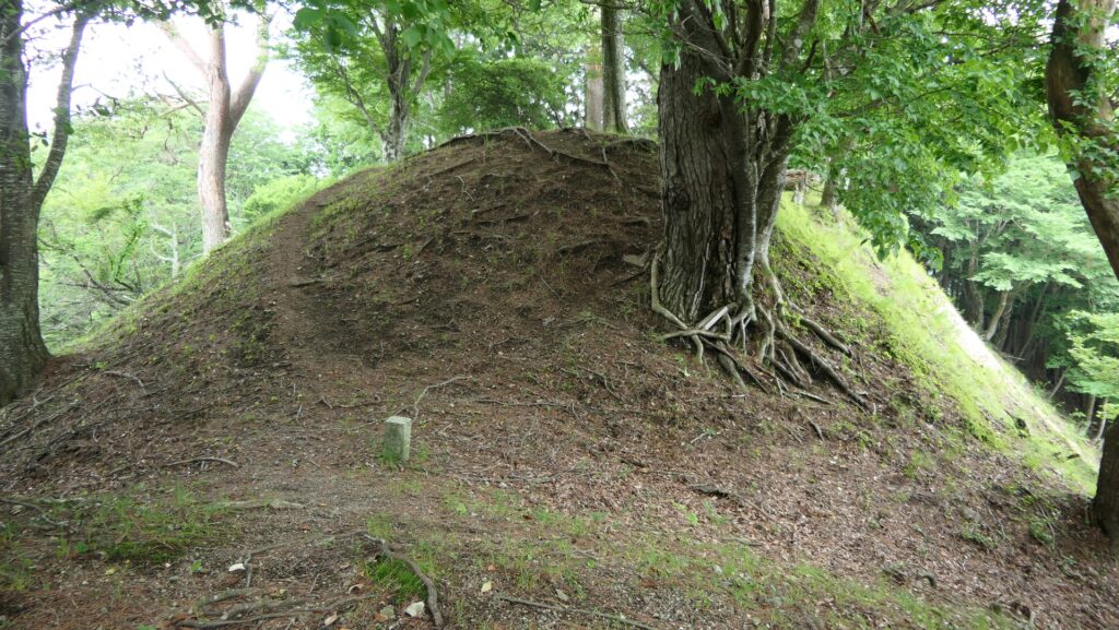
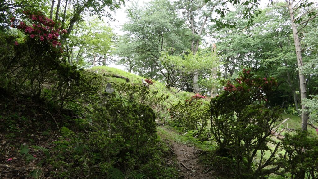
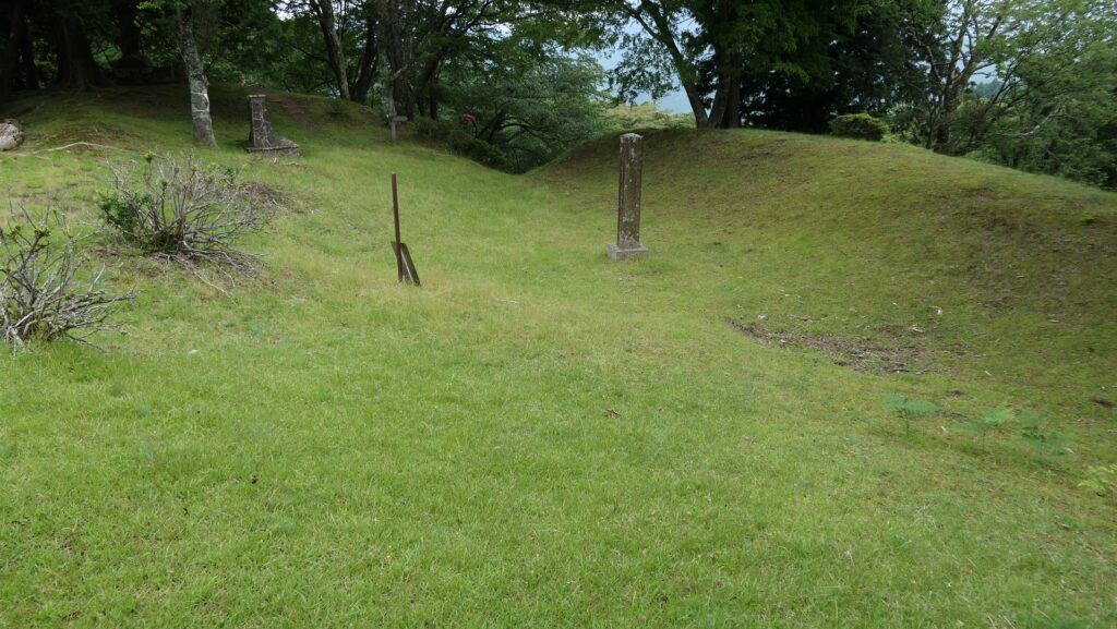
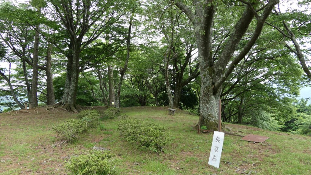
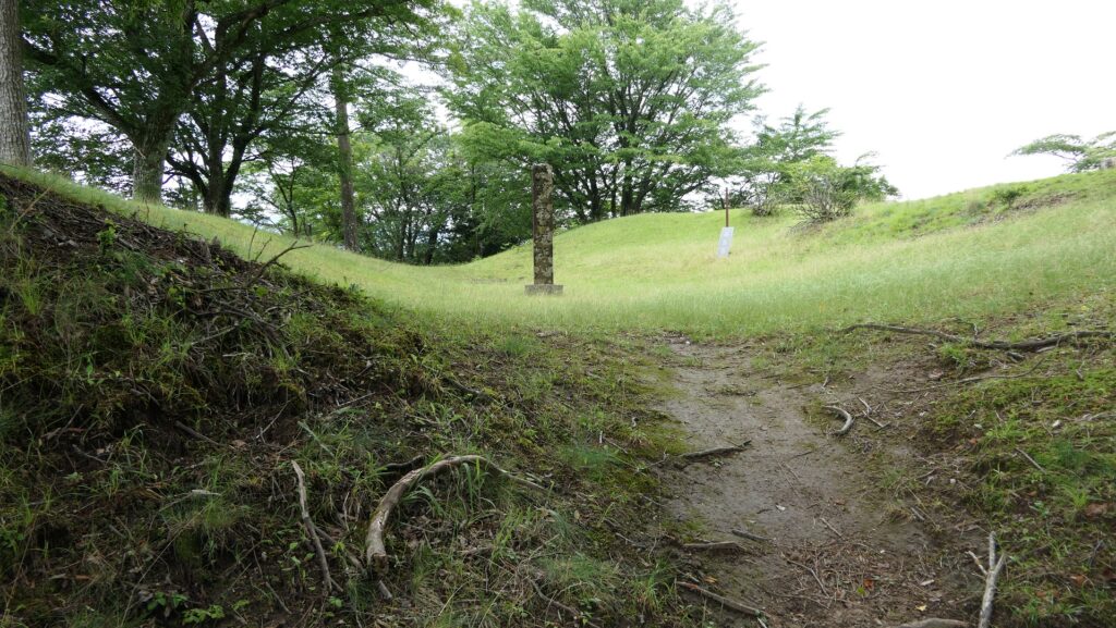
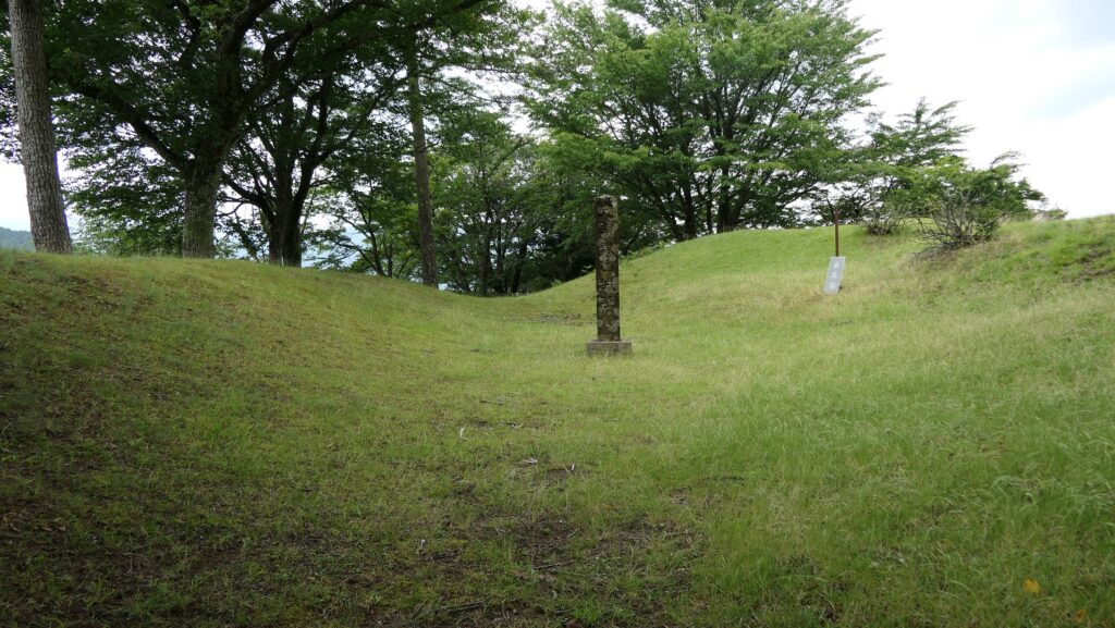
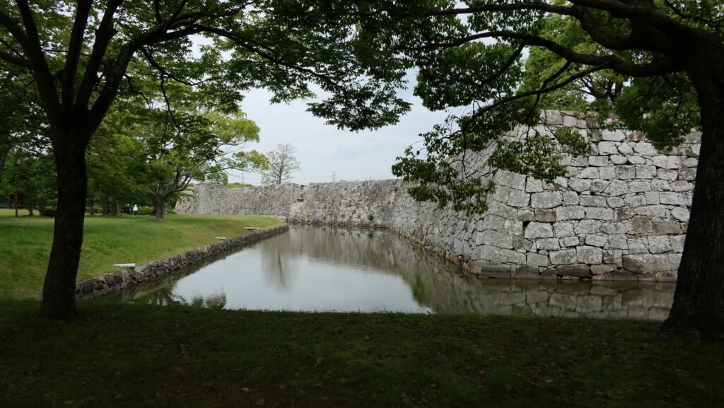
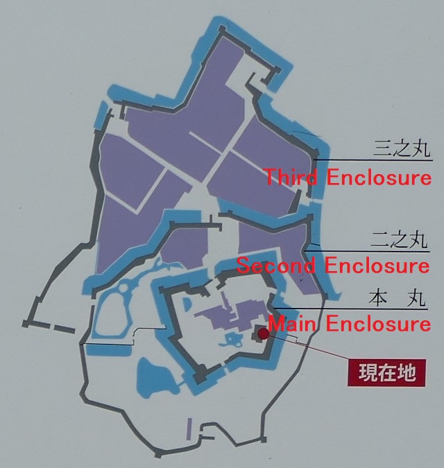
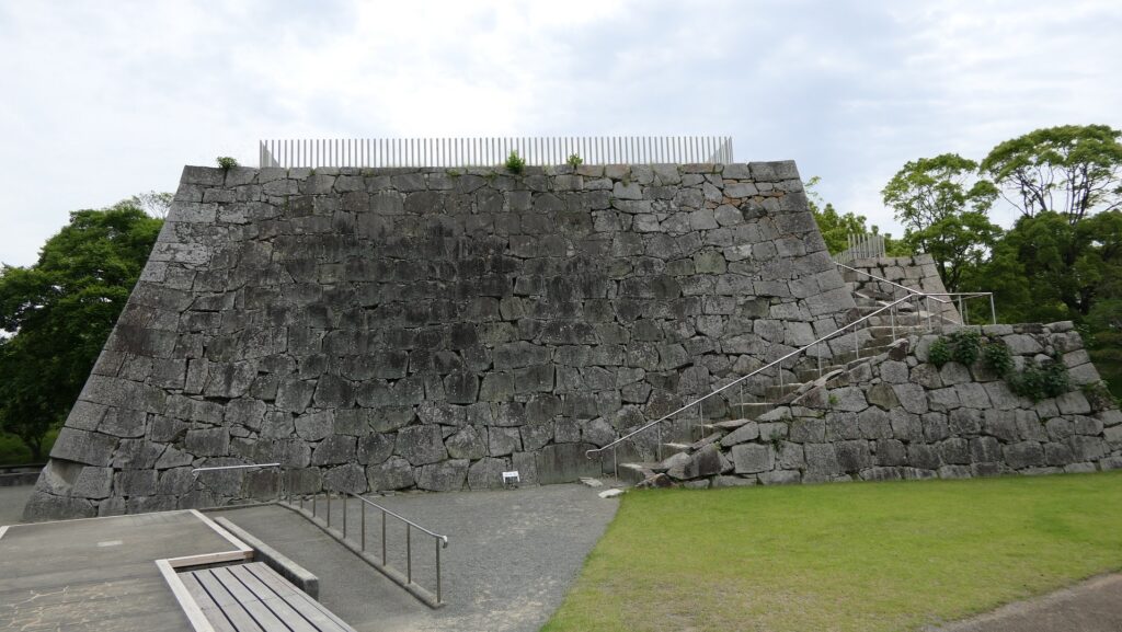
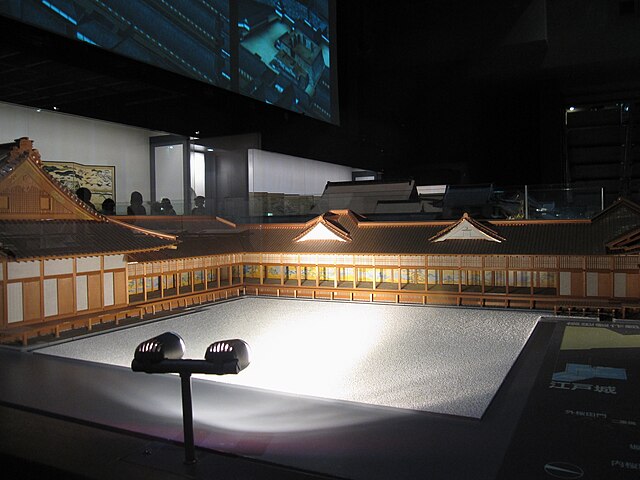
The renovation was done between 1648 and 1661. The layout of the castle was designed by scholars of military science, Masazumi Kondo and Soko Yamaga. They designed the stone walls of the castle to be bent sophisticatedly to shoot guns at any direction. The Main Enclosure and the Second Enclosure surrounding it were the main portion of the castle, backed by the sea in the south. The Third Enclosure, including the Main Gate, was added to the main portion in the north. These enclosures were divided by water moats on a flat ground, so the castle can be classified a Plain or Sea Castle. The Main Enclosure had the Main Hall for the lord and the stone wall base for the Main Tower, however, the tower was not built on the base.
Naganori Asano causes Ako Incident and is fired
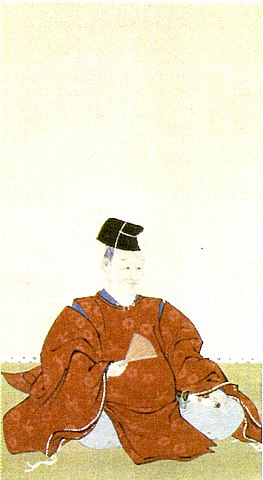
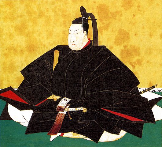
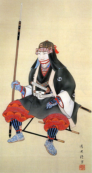
The Ako Incident happened in 1701 when Naganao’s grandson, Naganori Asano (also known as his official position, Takumi-no-kami) was the lord. He was in charge of entertaining the Imperial envoy to the shogun, Tsunayoshi Tokugawa in the Main Hall of Edo Castle, instructed by Yoshihisa Kira (Kozuke-no-suke). On the 14th of March when one of the most important ceremonies would be held, Asano suddenly cut Kira by using a sword at the back, trying to kill him, but failed. Asano was then arrested and ordered by the shogun to kill himself by performing Harakiri on the same day because using swords in the hall was strictly prohibited. Asano was also fired with about 300 retainers and many more of their families. On the other hand, Kira was innocent, as he was just hurt by Asano, by not using swords.
The reason for Asano’s attempted murder was uncertain. Some records suggested that he said he had a grudge against Kira, but he didn’t tell what it was before his death. According to some recent studies, it was thought as the following. It was the second opportunity of entertaining the Imperial envoy for Asano, so he would think he doesn’t need to pay so much for the instruction from Kira, though Asano was rich because of the income from the salt industry. While Kira would need more money for his duty but unfortunately he didn’t have enough of it because he was poor dispite having a higher position. These resulted in Kira might not having instructed Asano and might have criticized him in public. If they are true, who would generally cause such a serious incident? Some, including those at that time, have thought that Asano was going mad.

47 Ronin assaults Kira’s Residence
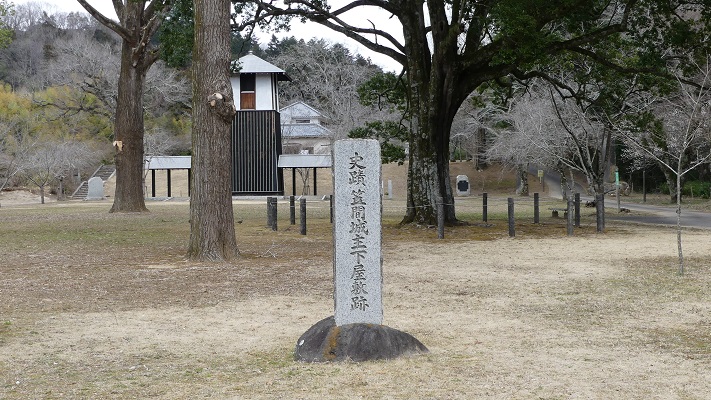
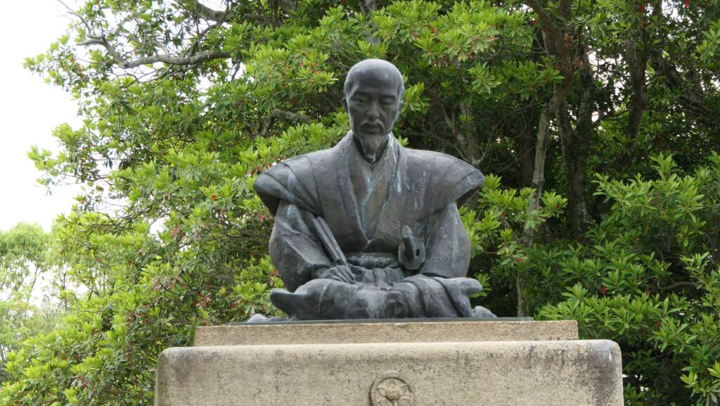
The retainers of the Ako Domain were very confused to hear about the incident and the following order of opening Ako Castle by the shogunate. They discussed protesting against the shogunate’s decision or simply handing the castle over following the order. Some warriors who served Asano closely never accepted the decision and thought their master must have had a reason. Yoshio Oishi (Kura-no-suke), who was the head of the senior vassals, finally decided to open the castle on the 12th of April. He thought the shogunate might allow Naganori’s brother, Daigaku to follow the domain if they would behave.
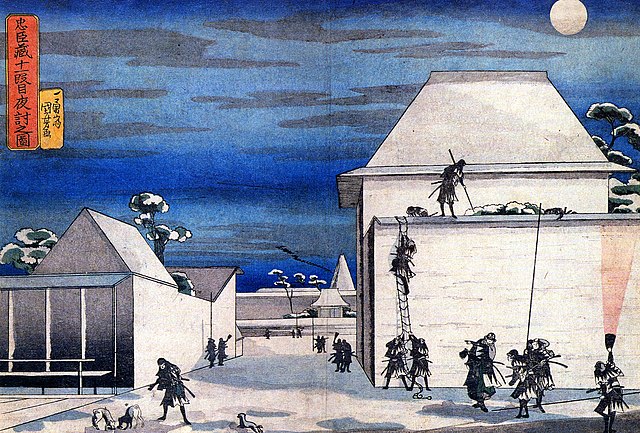
Unfortunately, this didn’t happen. The shogunate decided to banish Daigaku to the head family of the Asano Clan at Hirosima Castle. Oishi eventually became the leader of the 47 Ronin under the influence of the hardliners, which attacked Kira’s residence and killed him on the 14th of Dec in 1702 (according to lunar calendar). Oishi left his verbal notice at the site, which says they would do this to complete their master’s work. They were all arrested but it became complicated and cabinet officials of the shogunate discussed how they would treat the Ronin. Some said the Ronin should be executed strictly because they broke the law by assaulting Kira’s residence and killing the innocent man. Some argued that they were real loyal retainers to show a mirror of knighthood. The shogun, Tsunayoshi’s decision was to compromise both opinions to make the Ronin kill themselves by Harakiri. This was the same judgement as their master’s, but very honorable for their positions and actions.
Domain and Castle is followed by Other Clans
Ako Castle and the Ako Domain was followed by the Nagai Clan and the Mori Clan. The Mori Clan governed the area for a long time from 1706 until 1871 when the feudal domain system was abolished. The salt industry of Ako prospered more and the salt fields increased looking like they surrounded the castle. On the other hand, the domain by the Mori Clan faced financial difficulties because they had much less territory than the Asano Clan. For example, the former residence of Oishi in the Third Enclosure was burned down in 1729, but not rebuilt. This was probably because the domain had fewer retainers and budget than before so that they wouldn’t use the residence again.