Regarding the ruins of Kitabatake Clan Hall, visiting them starts from when you enter the Taki area. If you go on the steep Nigaki Mountain Pass to the ruins, it may give you a good understanding of how the hall was protected by this natural hazard.
How to get There
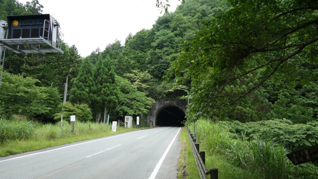
Regarding the ruins of Kitabatake Clan Hall, visiting them starts from when you enter the Taki area. The current roads to the area have been developed and paved for the convenience of transportation, but some of them are narrow and winding mountain passes. For example, if you want to visit the ruins going on National Road 368 (the former Ise Main Road) by car from the west, it is easy because the road has been developed through Kaisaka Tunnel into the mountain beside the area.
The map around the Taki area with the current 7 entrances
The Kaisaka TunnelThe old Ise Road to the steep Kaisaka Mountain Pass goes along it
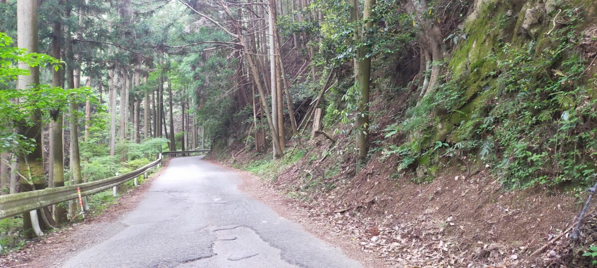
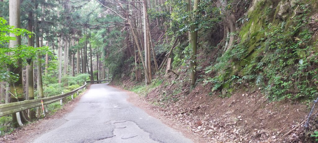
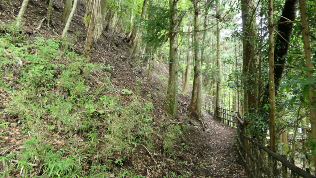
However, if you go from the east, you may find it troubling. The road still goes on the steep Nigaki Mountain Pass and becomes narrow and zigzagged. It may give you a good understanding of how the hall was protected by this natural hazard. Please be careful when passing each other. It about an hour or 40km drive away from Matsusaka IC on the Ise Expressway. The severe mountain pass area is about 5km long. If you want to go on an easier route from the IC, you can take the Mie Prefectural Road 43 from the north to the ruins.
The National Road 368 on the Nigaki Mountain Pass
If you want to use public transportation, take the Tsu City Community Bus (the Misugi-higashi or Misugi-junkan route) from Ise-Okutsu Satation and get off at the Kitabatake-jinja-mae bus stop. Be careful the buses only run on weekdays and there few of them. From Tokyo to Ise-Okutsu Station: take the Tokaido Shinkansen super express, transfer to the Mie rapid train or the Kintetsu Railway at Nagoya Station, and transfer to the JR Meisho Line at Matsusaka Station.
Features
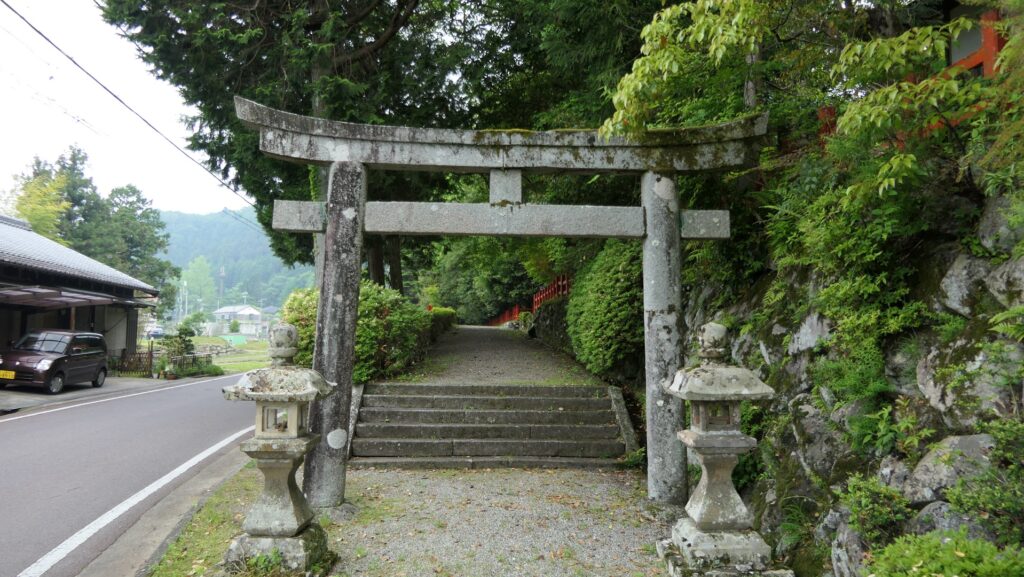
Hall becomes Kitabatake Shrine
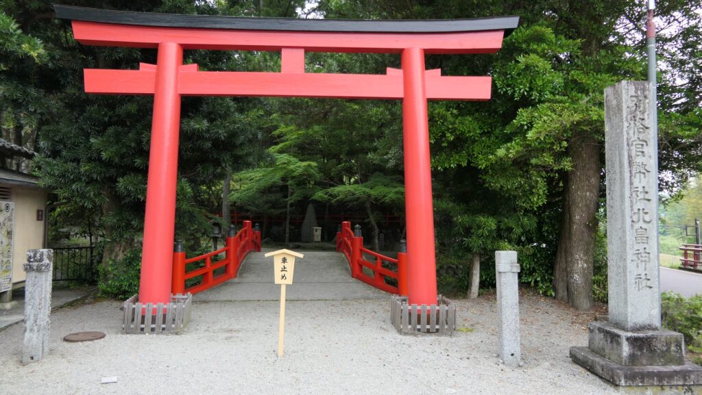
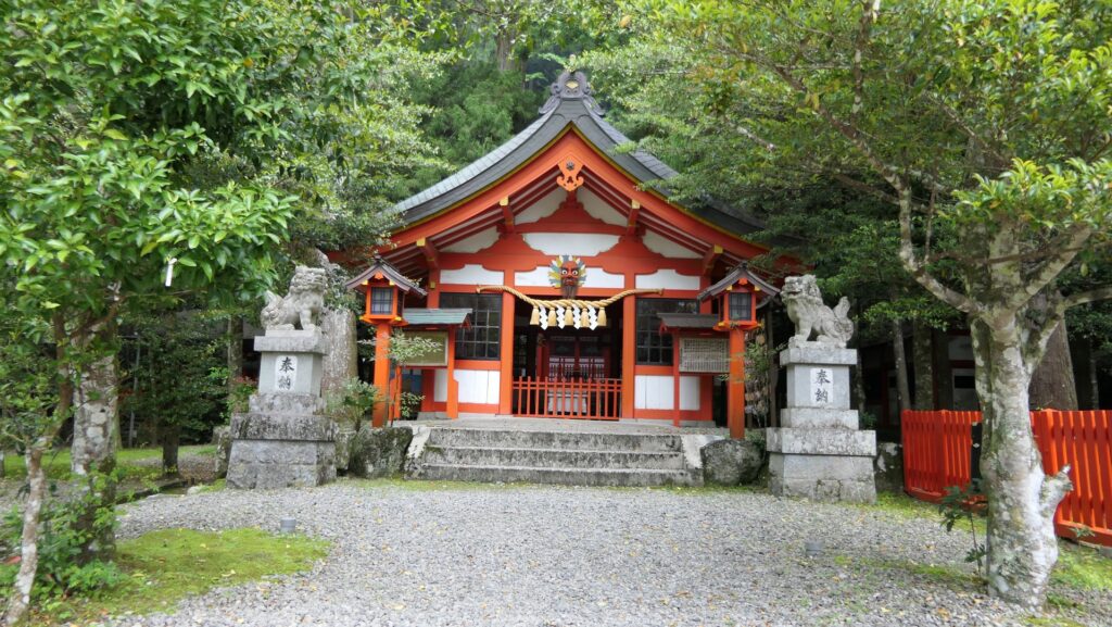
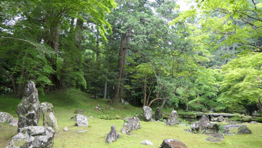
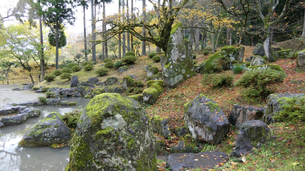
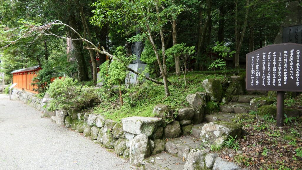
The ruins of Kitabatake Clan Hall has turned into the Kitabatake Shrine since the Edo Period. The shrine was built on where the hall had been built, so it looks like a typical shrine, not a hall or castle. The only remaining item of the hall is the Kitabatake Clan Hall Ruins Garden in the southern part of the shrine. The garden is a pond garden with a circular promenade which is said that Takakuni Hosokawa, the shogun’s deputy designed and Harutomo Hatakeyama, the seventh lord of the clan first built. It looks very beautiful and sophisticated and is considered one of the three greatest Samurai gardens and was designated as a National Place of Scenic Beauty.
The map around the hall
The entrance of the shrineThe front shrine hallit doesn’t look like hall or castle ruins.The Kitabatake Clan Hall Ruins GardenIchijodani Asakura Clan Garden, another greatest Samurai garden
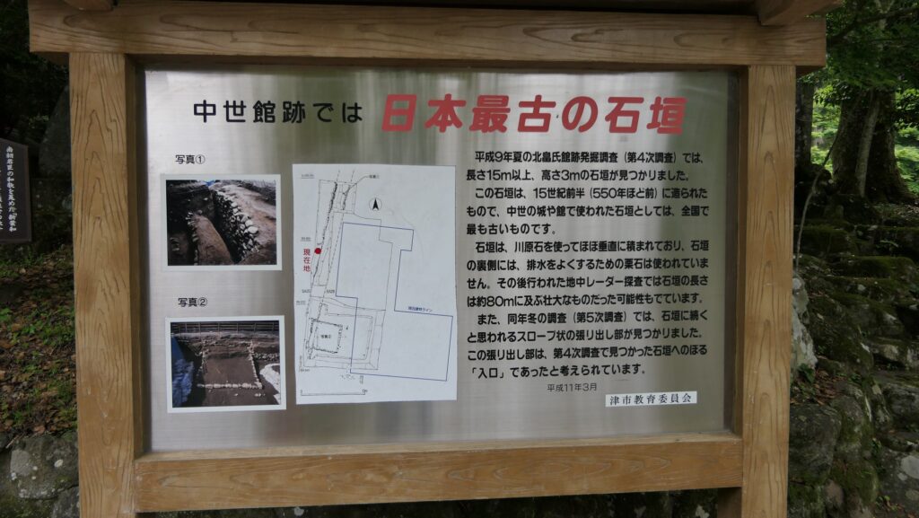
Earliest Stone Walls used for Warriors’ Halls during Middle Ages
There is a signboard which shows the excavated stone walls of the original hall and says they are the earliest example of stone walls used for warriors’ halls during the Middle Ages. However, we can’t look at them directly, as they have been buried again after they were excavated. The stone walls were first built around the upper tier of the hall’s land where the Main Hall for the lord was probably built. In fact, the stone walls were buried by the Kitabatake Clan themselves to extend the tier. The Main Hall was rebuilt on the tier, which would be the final version of the hall. That means the stone walls ruins are just inside of the current shrine so that visitors usually can’t see them.
The explanation board for the stone wallsYou can’t see the excavated items
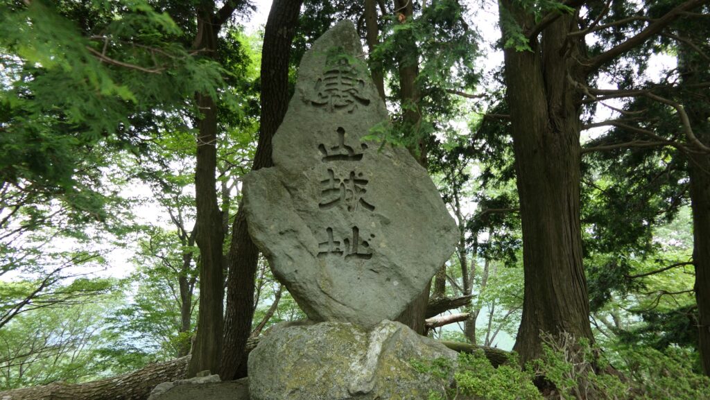
Final Castle Ruins
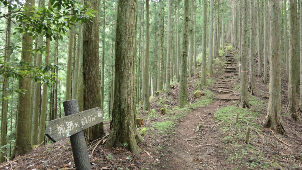
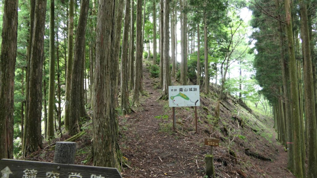
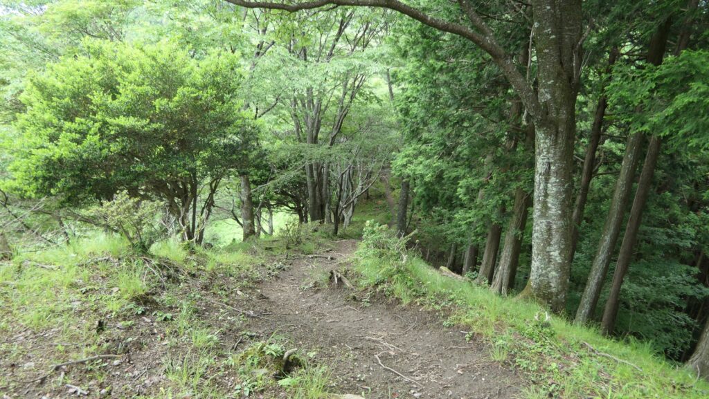
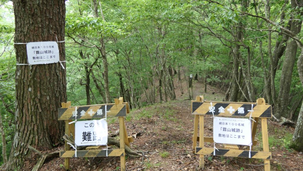
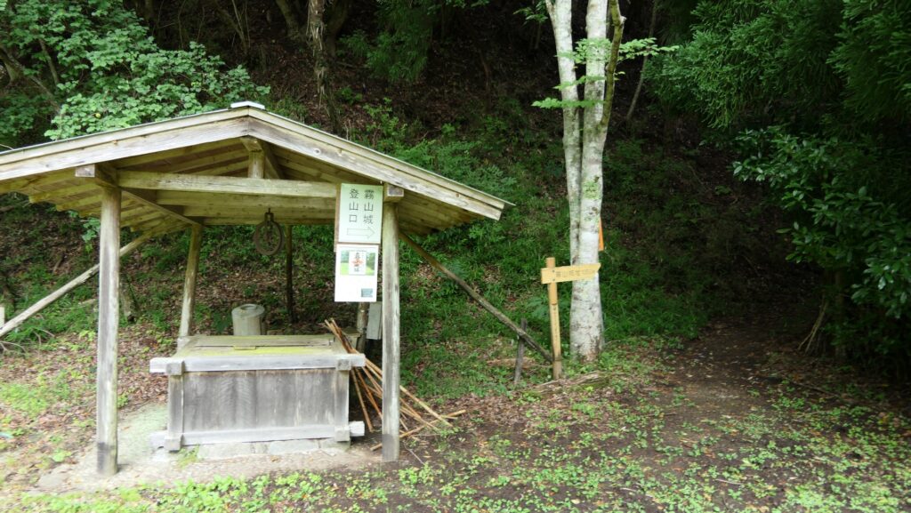
If you want to see what looks like castle ruins, you should consider visiting the final castle of the hall and/or Kiriyama Castle. They are on the same route and the final castle is not so far from the hall. Therefore, you can choose which one or both depending on your schedule. If you walk on the path south of the shrine, you will find the starting point of the route to the ruins. There is a zigzagging trail to the mountains, so you will need to hike.
The path to the starting pointThe starting point
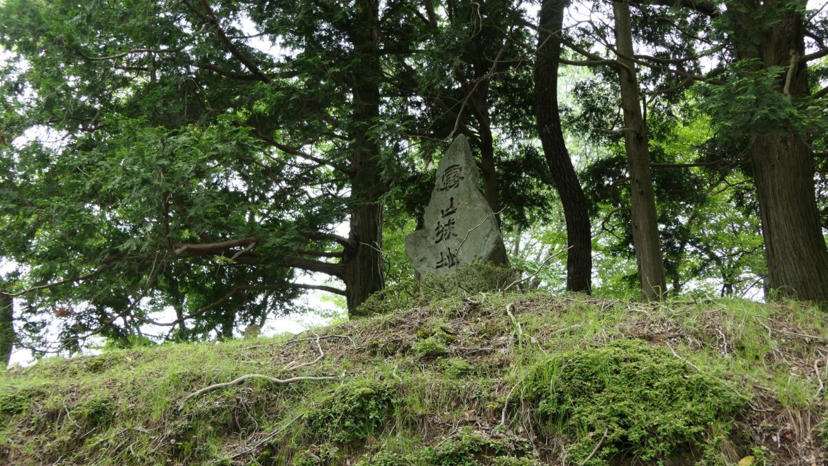
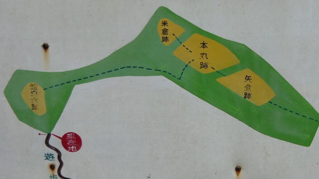
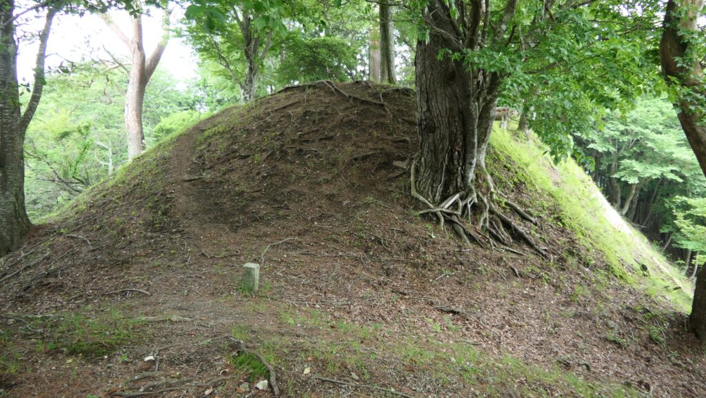
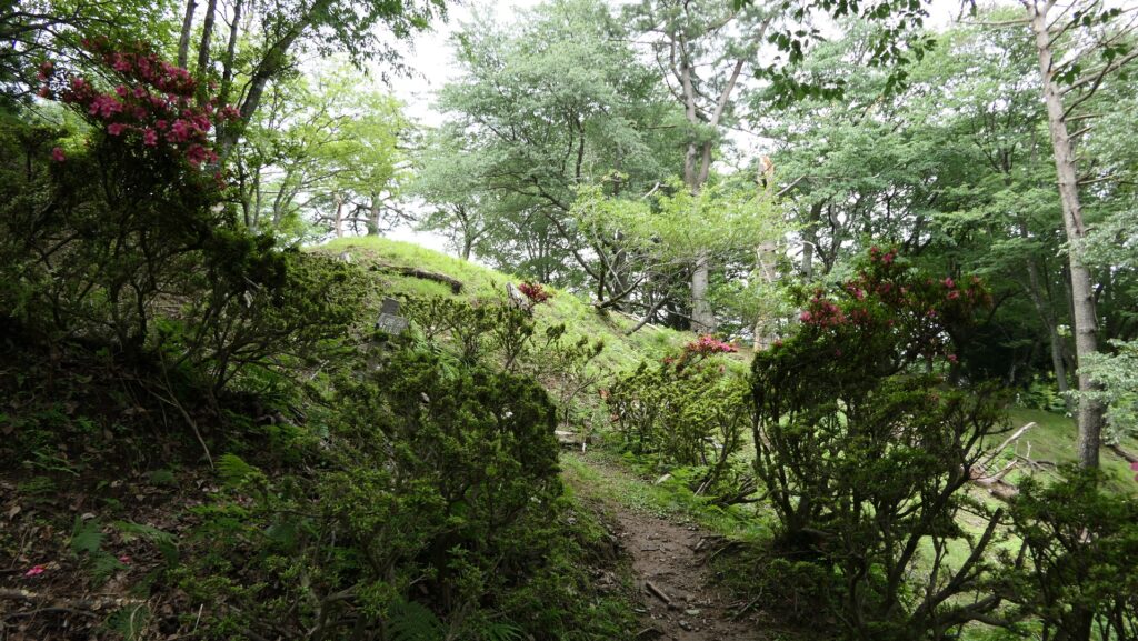
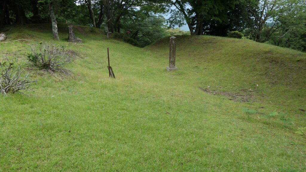
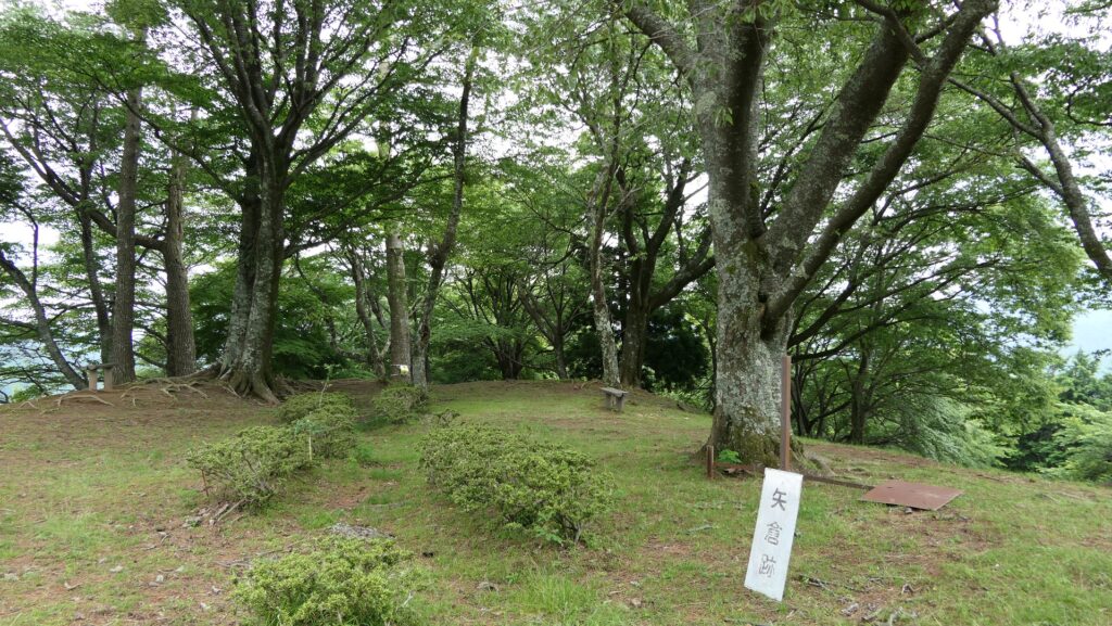
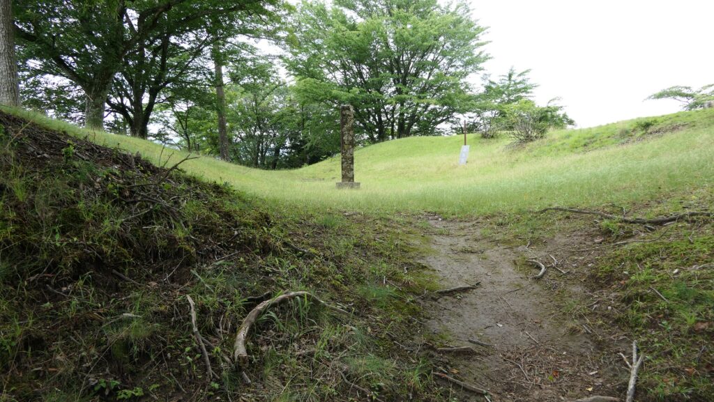
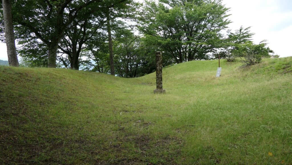
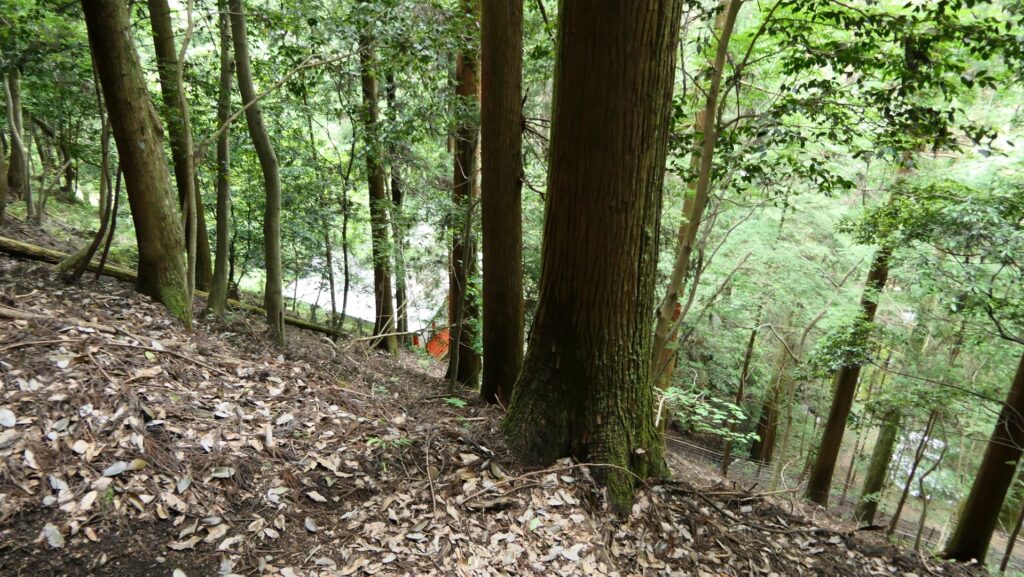
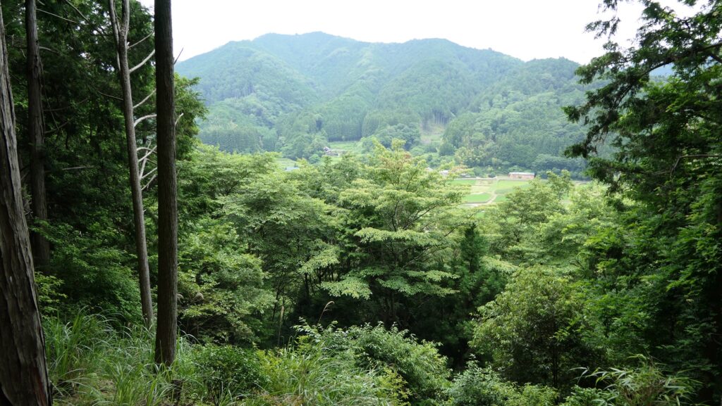
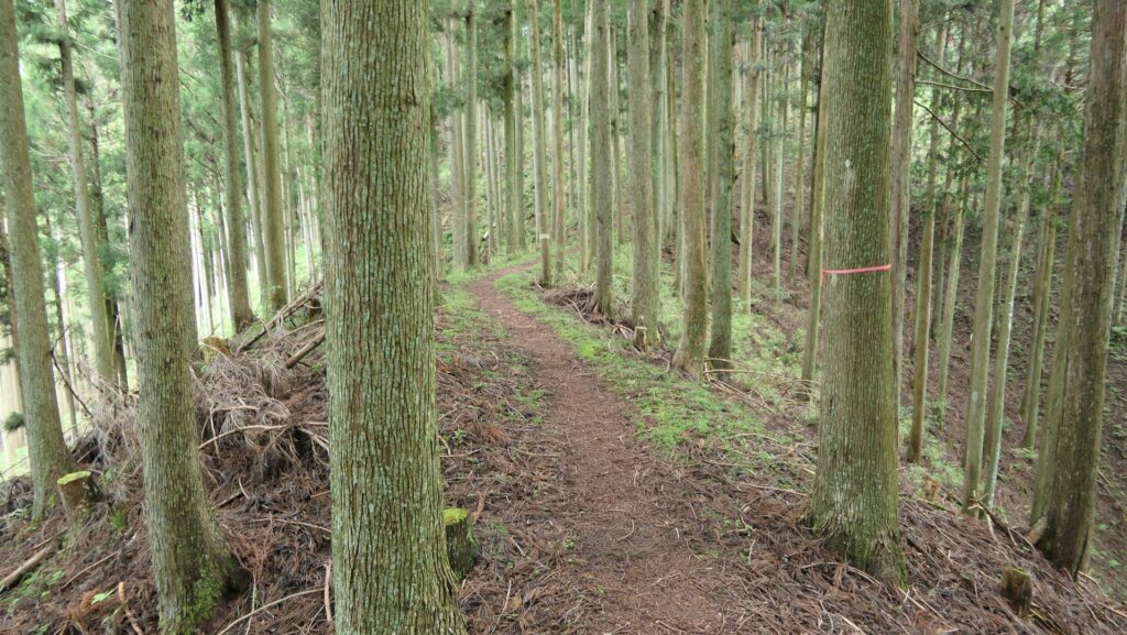
You will first reach the ruins of the final castle, on the mountain about 80m above the shrine (the former hall). The ruins simply have the main enclosure and the belt enclosure around. You can see the top of the shrine and the area around there. You will understand the place must have been the refuge shelter for the people living in the hall. The trail goes beside the belt enclosure to Kiriyama Castle Ruins ahead over the western ditch.
Climbing the trailYou can see the roof of the shrine below on the wayA view of the area aroundThe ruins of the final castleThe trail goes to Kiriyama Castle Ruins