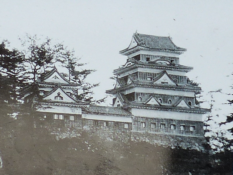
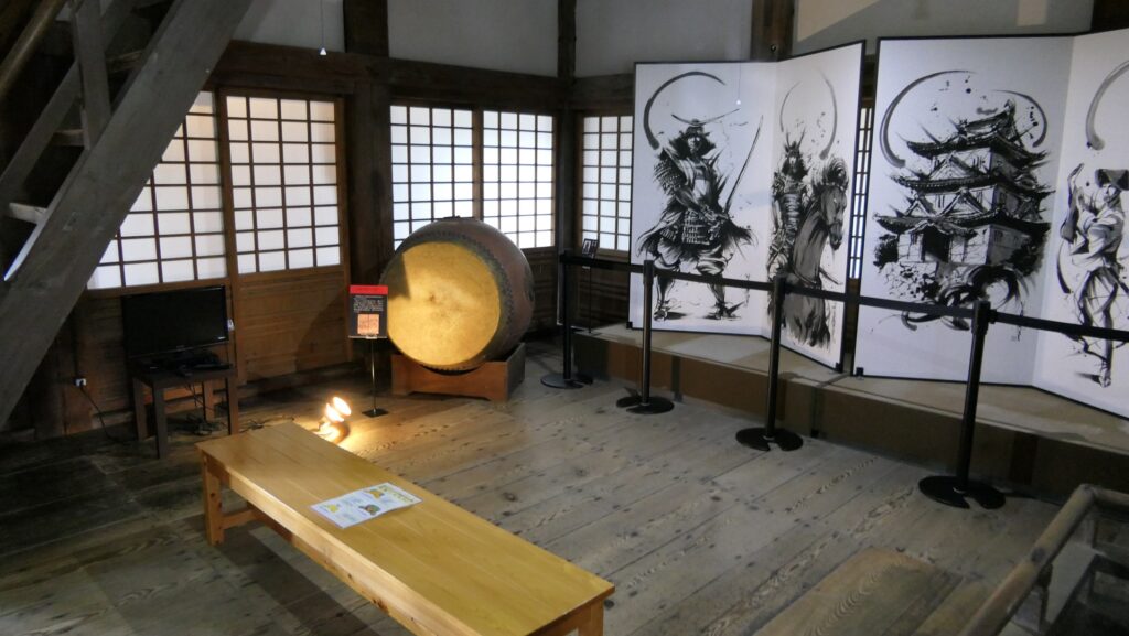
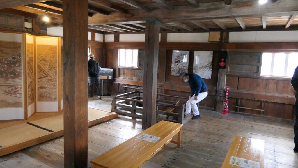
You can enter the inside of the Main Tower. Its interior is basically made for living, not for fighting. For example, the first and second floors are divided into the central room and the defense passage around by paper screen doors called Shoji. The floor of the central room is boarded now, but was Tatami-matted in the past. Shoji and Tatami mat are typical items for traditional Japanese living room. There are not any loopholes for guns and machicolations other Main Towers usually had. That’s why this is called the Main Tower of peace time.
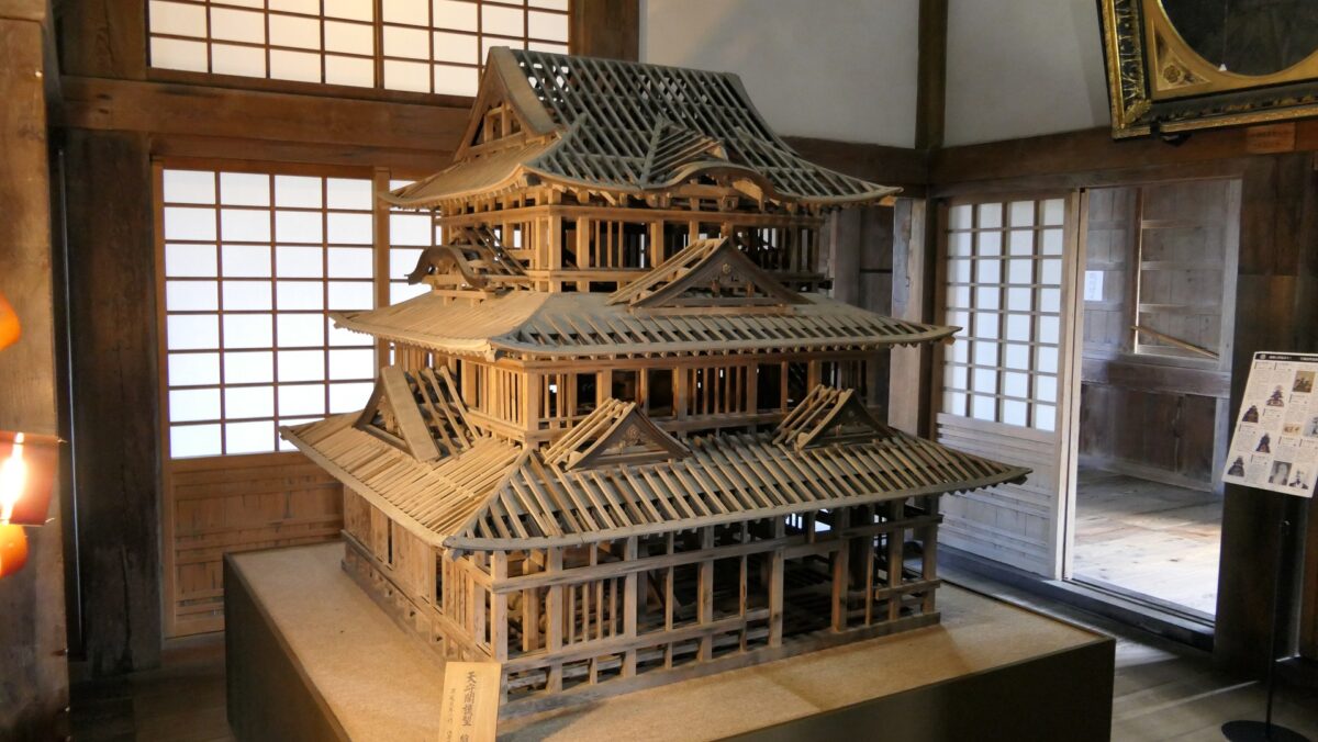
The central room of the 1st floor, there is the miniature model of the tower made in the Edo Period for repairingThe defense passage of the 1st floorThe central room of the 2nd floor
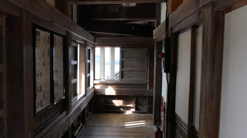
However, it actually has minimum defense system that each lattice window has a gun rest and the floors are set properly to shoot the guns from the windows.
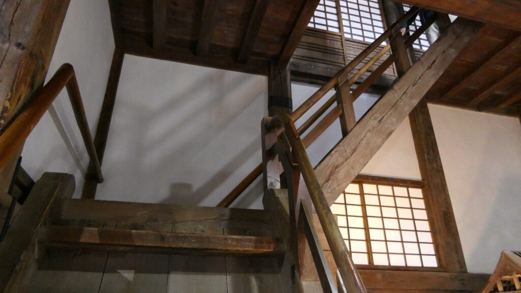
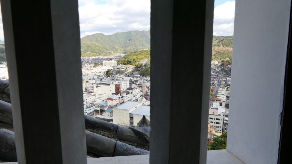
A set of lattice window and gun rest on the defense passage at the 2nd floorThe stairway to the 2nd floor, the ceiling of the 1st floor is high to set the 2nd floor properlyThe 3rd floor of the towerA view from the tower
Later History
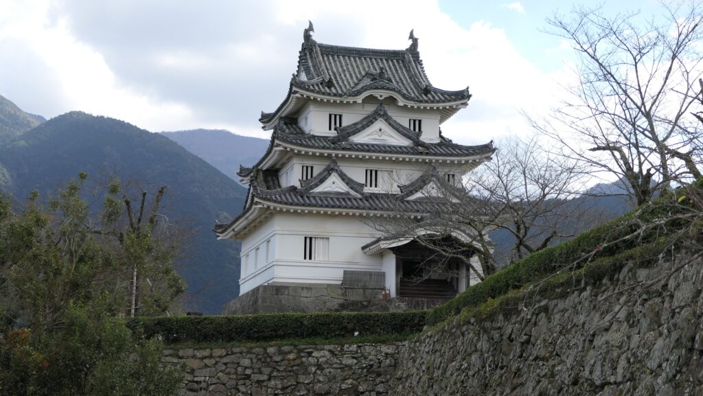
After the Meiji Restoration, many of the castle buildings were demolished and the moats were filled. The former lord, Date Clan continued to maintain the few remaining buildings and the mountain until the clan donated them to Uwajima City in 1949. Unfortunately, the Main Gate was burned down by the Uwajima air raid in 1945. Only the Main Tower and the Nobori-tachi-mon Gate on the back route remain. The Main Tower has been designated as an Important Cultural Property since 1950.
The remaining Nobori-tachi-mon Gate (licensed by Saigen Jiro via Wikimedia Commons)The remaining Main Tower
My Impression
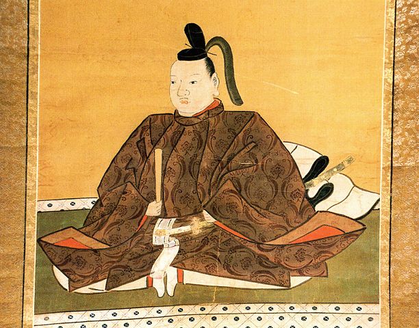
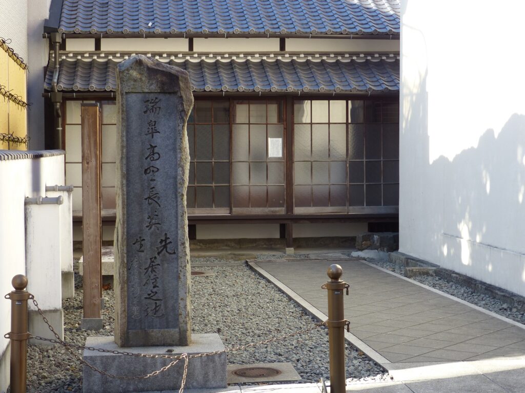
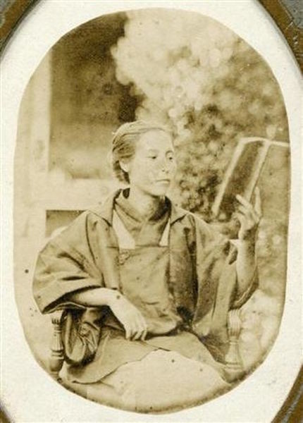
Uwajima City is warm all the year around and has a lot of affordable delicious food. A writer, Akira Yoshimura who has written about Choei Takano and Ine Kusumoto, the first woman doctor in Japan who also visited Uwajima. He came to love Uwajima through the data collection for his the novels. He visited there over 40 times in his life. This city is likely to have both a local laid-back atmosphere and a tolerance to accept others. I feel the same way and would like to visit there many times.
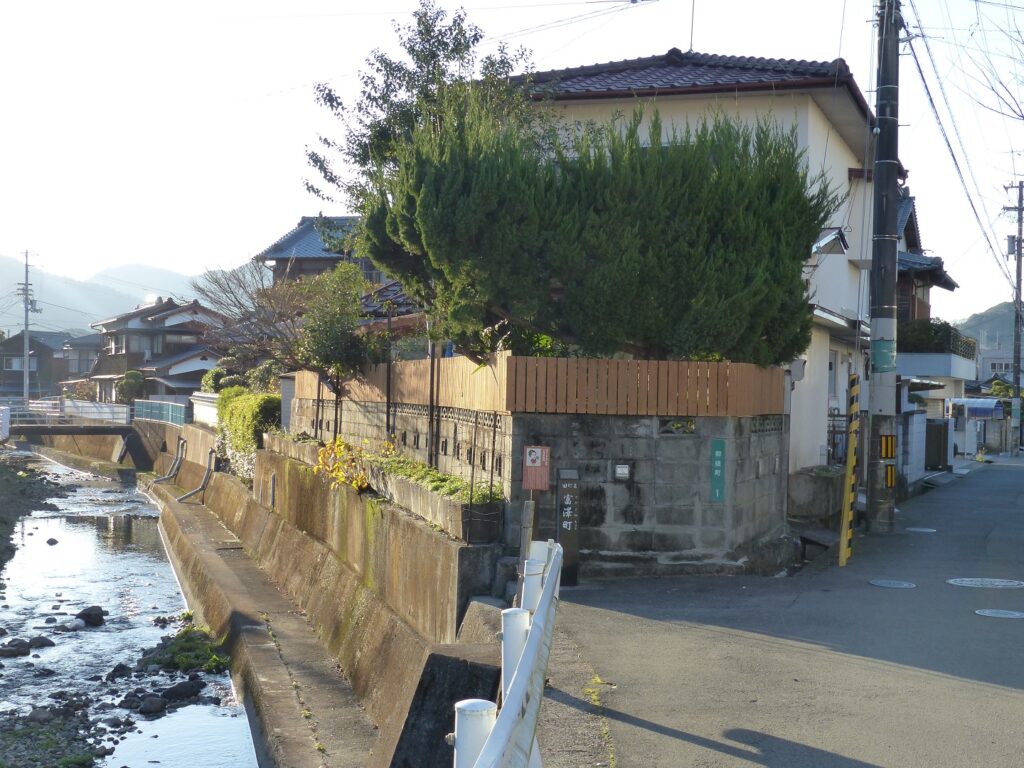
The hiding place of Choei TakanoIne Kusumoto (licensed under Public Domain via Wikimedia Commons)The place for Ine to stay in Uwajima
How to get There
If you want to visit the castle by car, it is about 30 minutes away from Seiyo-Uwa IC on the Matsuyama Expressway. There is a parking lot at the entrance of the castle. By public transportation, it takes about 15 minutes on foot from the JR Uwajima Station. If you go there from Tokyo or Osaka, I recommend traveling by plane or using an express bus.