13.Shirakawa-Komine Castle Part3

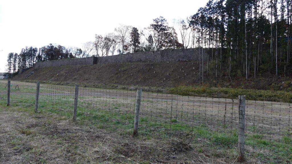
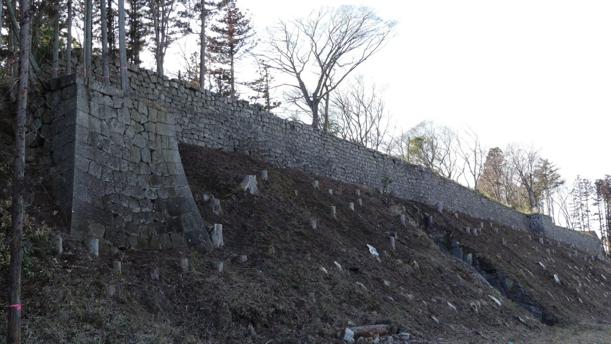
Go along the former Oshu Road to the north until you get near Abukuma River, and look back to the left, you will see another great scenery. It is 180m long stone walls on a hill along the river, called Komine Castle Eastern Stone Walls.

Features

Walking around Main Enclosure

If you want to see other attractions of the castle, you can get out of the main enclosure through the ruins of Sakura-no-mon (meaning the cherry gate) to walk around the stone walls of the enclosure on the belt enclosure, the lower tier of the main portion. The ruins of Tsukimi-Yagura (meaning the moon viewing turret) are in front of the gate ruins of the enclosure, which look very strong with their remaining stone wall base.

The map around the main enclosure
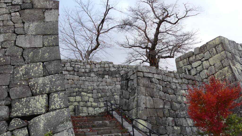
The ruins of Sakura-no-mon Gate
The entrance of the belt enclosure
The ruins of Tsukimi Turret seen from the second enclosure below
The back of the Tsukimi Turret Ruins

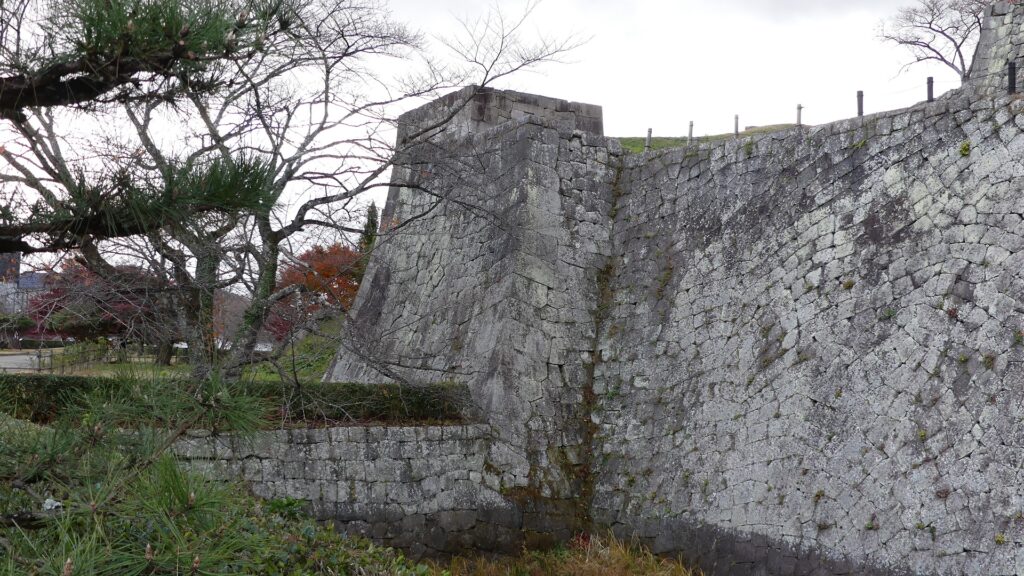
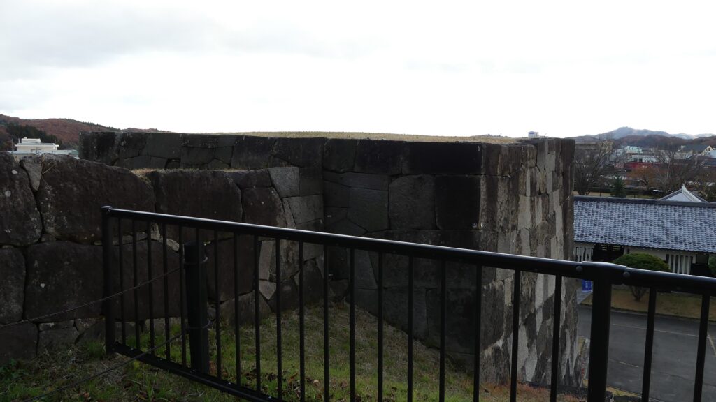
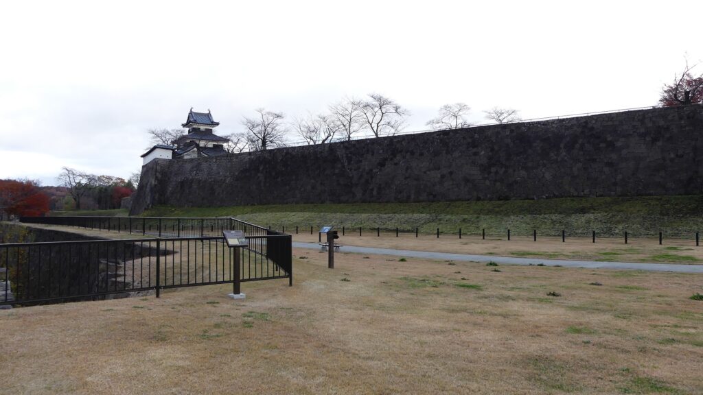
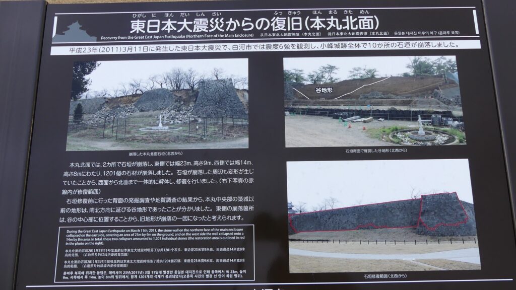
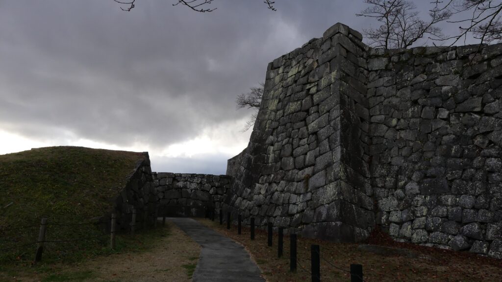
The belt enclosure surrounds the western and northern sides of the main enclosure. You can feel relaxed by walking on the belt enclosure, while enjoying looking at the great, long and high stone walls of the main enclosure. These stone walls look well-maintained. However, they collapsed heavily during Great East Japan Earthquake in 2011 and were repaired by Shirakawa City for the following eight years (completed in 2019).
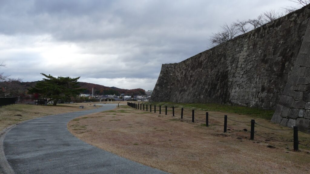
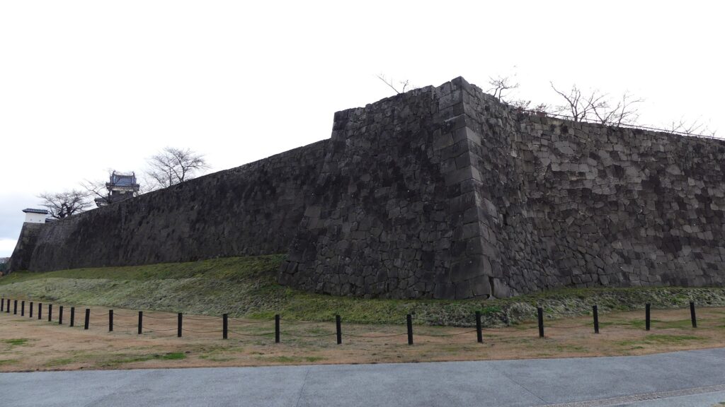
The western part of the belt enclosure
The great stone walls of the main enclosure
The northern part of the belt enclosure
The explanation board of the stone walls being destroyed by the earthquake and repaired later on

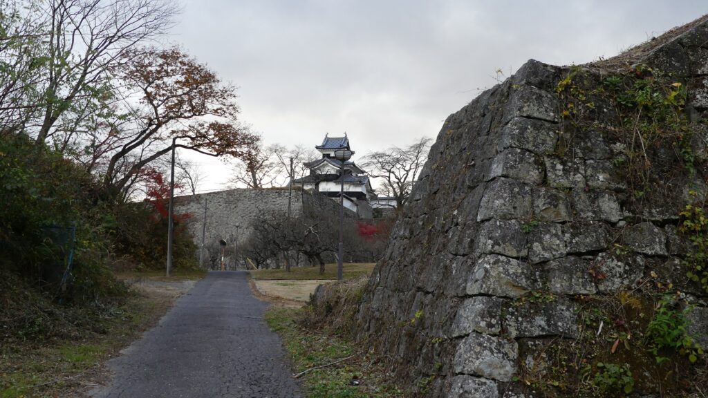
You will eventually reach the other gate ruins of the belt enclosure, called Ya (arrow)-no-mon. You can see a great view of the three-level turret at the northeastern edge of the main enclosure on the right. However, if you were an enemy, the defenders would attack you through the turret’s machicolations and loopholes facing you.
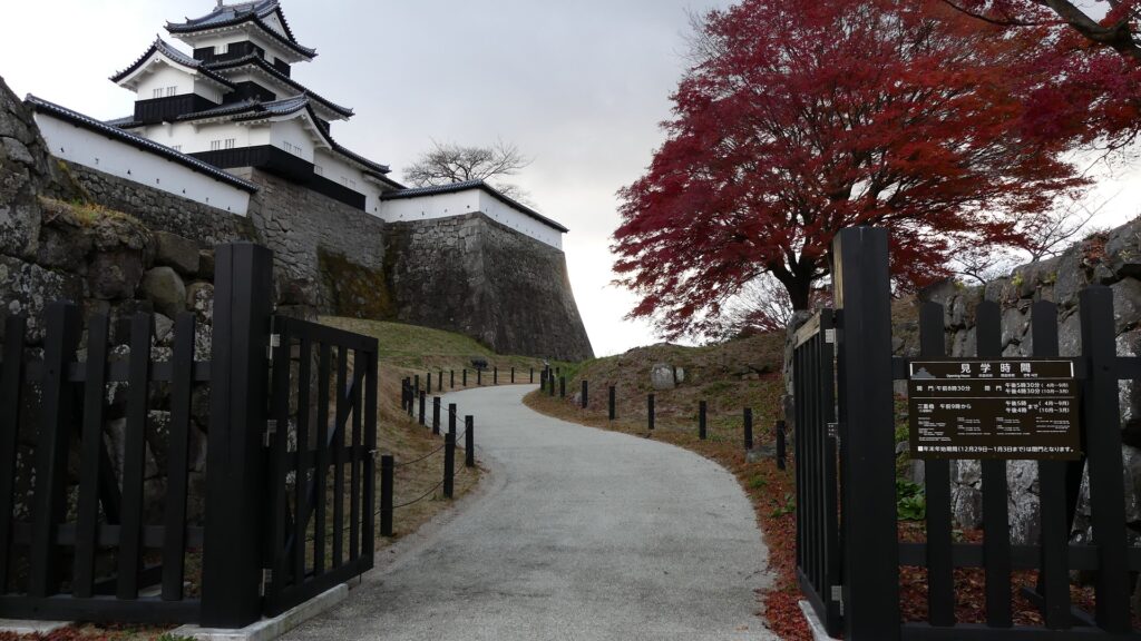
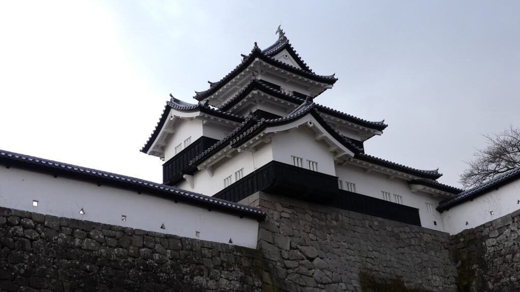
The ruins of Ya-no-mon Gate
The turret seems to look targeting you

Going to Outside of Castle

Another recommendation for you is to visit the former third enclosure, which is the east of the main portion. It has turned into the city area mainly including public facilities. There is only one remaining castle building among the area, the Taiko-Yagura Turret, which was originally used beside the Taiko-mon Gate in the second enclosure. It was moved to a private sector, converted to a tea room, and finally moved to the current position where it has been since 1930.

The map around the castle
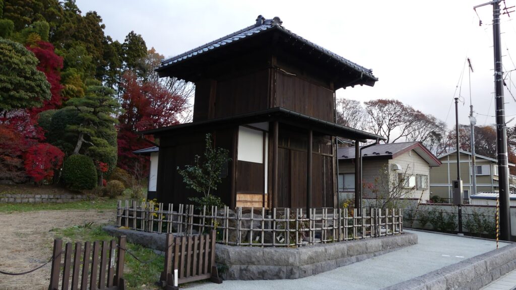
The Taiko Turret has become a tea room

If you go further to the east until the National Route 294 (the former Oshu Road), go along the road to the north until you get near Abukuma River, and look back to the left, you will see another great scenery. It is 180m long stone walls on a hill along the river, called Komine Castle Eastern Stone Walls. In fact, they were recently discovered when the pine trees on the hill were cut down for the bypass road constructions. They must have been built to protect the castle from the threats from the north. These stone walls connect to the back gate of the castle, which opens to the north, but you can’t go directly to the gate due to the construction site between them.
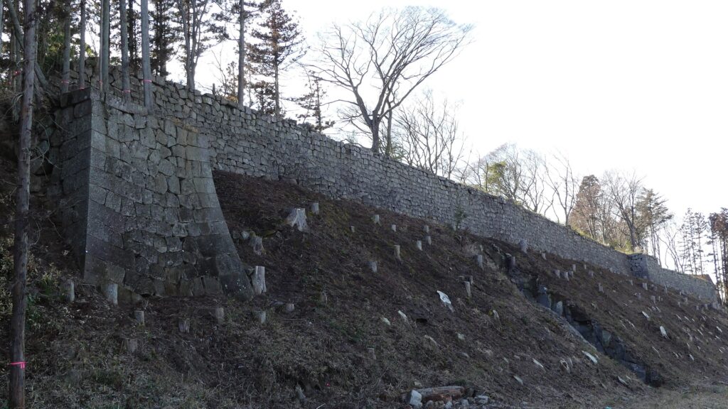
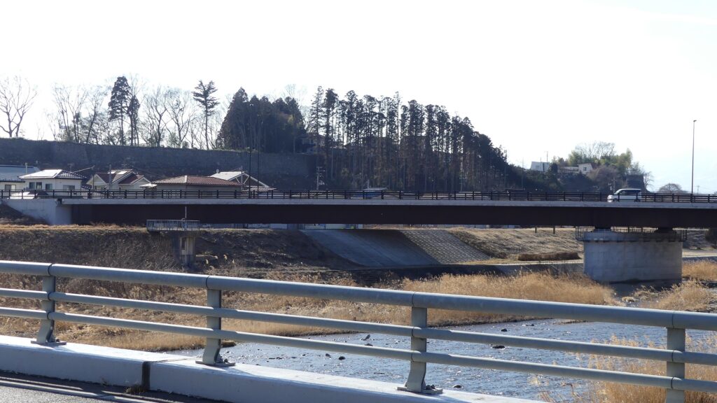
Komine Castle Eastern Stone Walls
Looking the stone walls from the bridge over the Abukuma River
No entry is allowed around the stone walls due to the constructions
The ruins of the back gate

My Impression

While visiting the well-remaining structures and restored buildings of Shirakawa-Komine Castle, I felt the strong intentions of Nagashige Niwa, the builder of them, to protect the castle from possible enemies from the north. He must have been one of the few lords to do it properly and quickly. I also think that the history during the Boshin War lets us to know that such a strong castle had a weak point and could not survive without enough soldiers and proper instructions
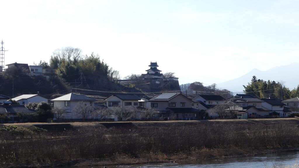
The three-level turret seen from Abukuma River, north of the castle

How to get There

If you want to visit there by car, it is about a 10-minute drive away from Shirakawa-Chuo Smart IC on the Tohoku Expressway.
There is a parking lot in the park.
By public transportation, the castle is very near the JR Shirakawa station. You can even see the nice view of the three-level turret from the platform.
From Tokyo to the station: Get the Tohoku Shinkansen super express and transfer to the Tohoku Line at Shin-Shirakawa Station. The destination will be the next station.
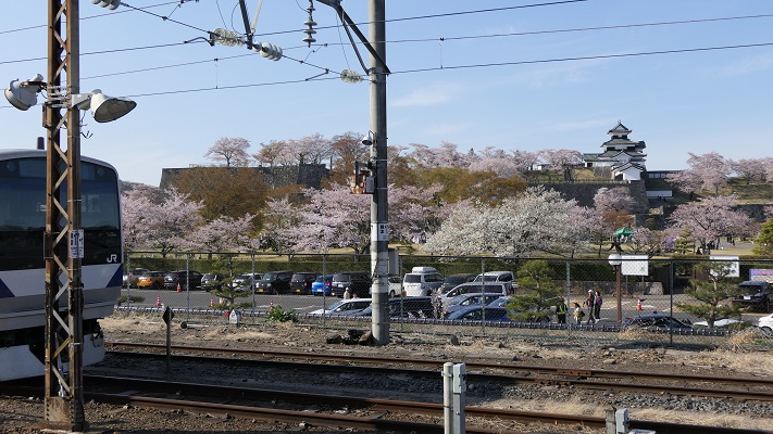
The castle ruins seen from the platform of the station

That’s all. Thank you.
Back to “Shirakawa-Komine Castle Part1”
Back to “Shirakawa-Komine Castle Part2”

114.Karasawayama Castle Part2

Today, the ruins of Karasawayama Castle have been well developed as Karasawayama Shrine. Many people visit the shrine to pray for something, hike the mountain, see a great view, and recently see lots of friendly cats living in the shrine. Of course, some of the visitors enjoy historical items at the site as well.

Features

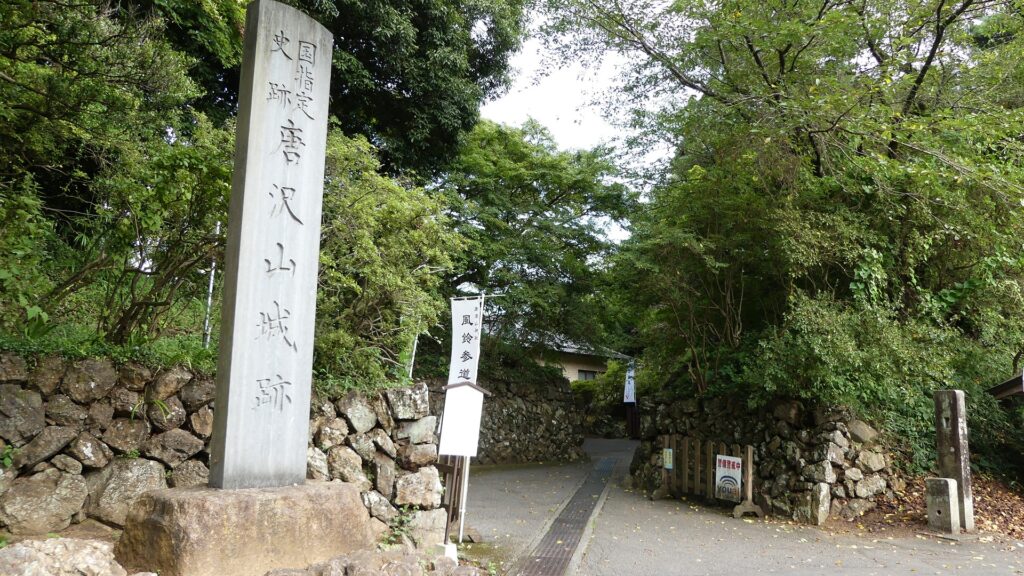
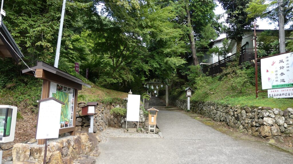
Castle Ruins are developed as Karasawayama Shrine

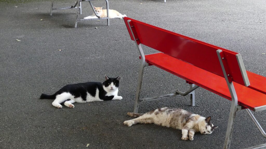
Today, the ruins of Karasawayama Castle have been well developed as Karasawayama Shrine. Many people visit the shrine to pray for something, hike the mountain, see a great view, and recently see lots of friendly cats living in the shrine. These cats seem to have been strayed or abandoned, but are now fed by volunteers and visitors.

Some of the cats living in the shrine

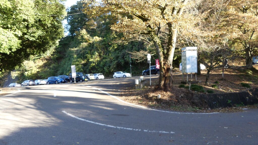
Of course, some of the visitors enjoy historical items at the site as well. There are main routes from the foot of the mountain to the top in the south and west, similar to the castle’s period. In addition, the current routes have been developed for both cars and hikers, which means there are at least four routes.

The map around Karasawayama Shrine

The southern route
The western route
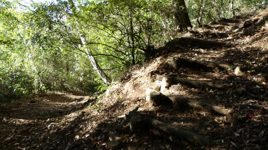
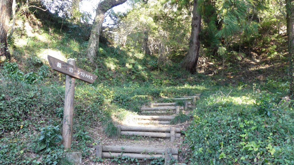
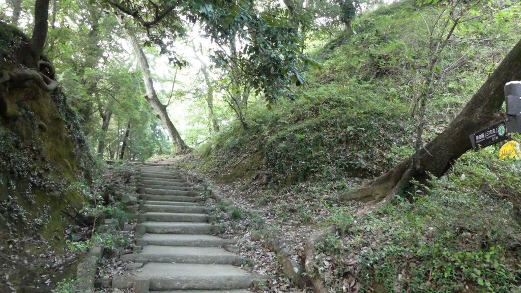
The western hiking course (part of the original path)

Past and Current Routes

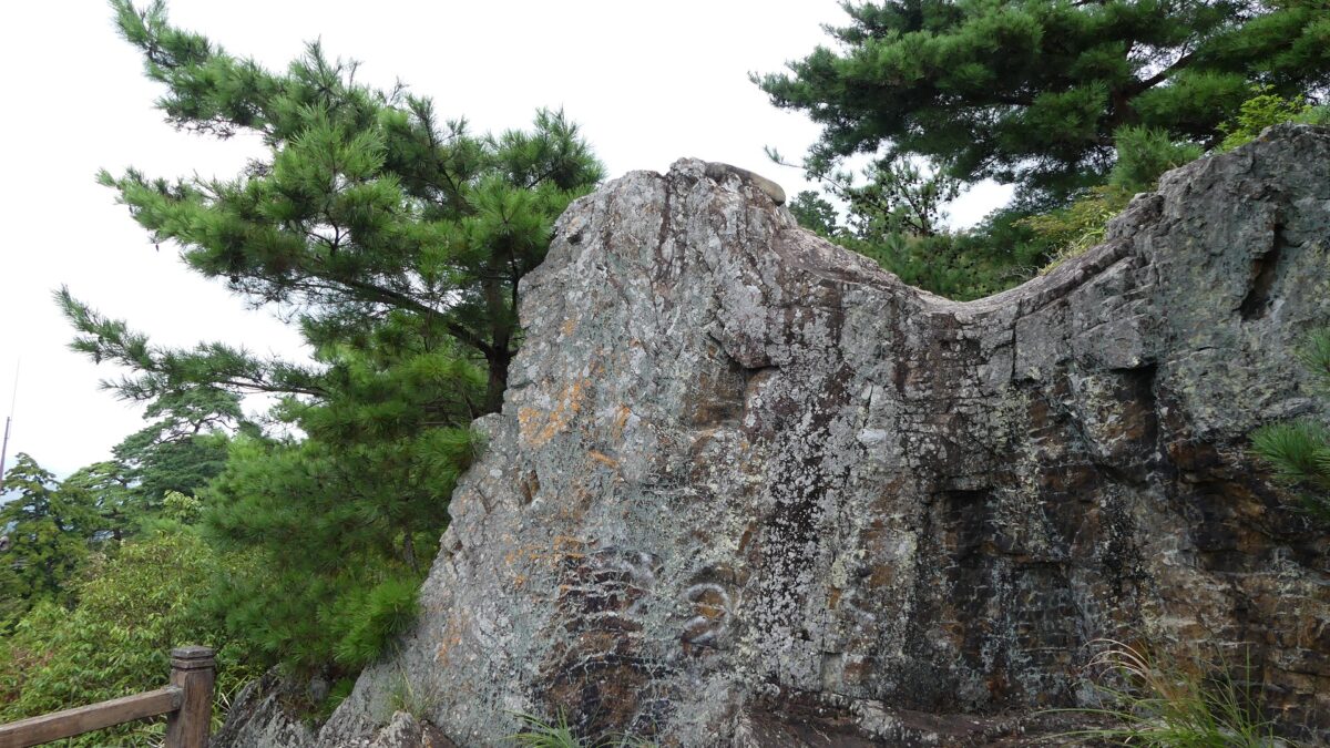
They are not the same as the original routes to the castle. For example, the two paved roads for cars from the two directions gather at the parking lot on the top. However, part of the road from the south was blocked by huge rocks near a remaining rock called Kagami-iwa (meaning the Mirror Rock). The two original paths to the castle gathered in front of the rocks and went to the Main Gate via zigzagging route.

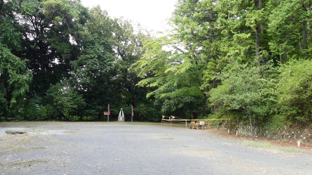
The current meeting point
The past meeting point
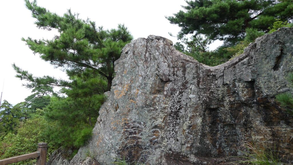
the Kagami-iwa Rock
The original path to the Main Gate

Attractions along Main Route

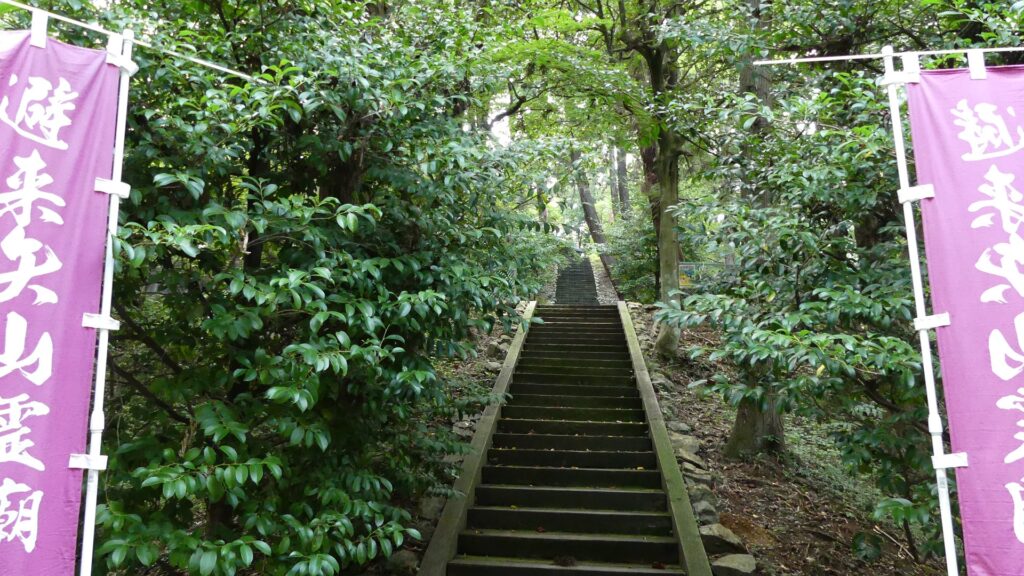
If you enter the Main Gate Ruins from the parking lot, you will see the ruins have a typical alternating entrance with stone walls (but mainly built or renovated during the Meiji Era). The main route goes to the center inside the gate, but there are also some attractions from side to side. There is another huge rock called Tengu-iwa (meaning the long-nosed goblin rock) on the right (the southern side), which was a lookout and defensive point, and is a great viewing spot. There is also a hill on the left (the northern side), called Hiraishi-yama (meaning the mountain for avoiding enemies’ arrows). It was named after the armor the Sano Clan passed down from Hidesato Fujiwara, their founder. Therefore, it must have been used as another defensive spot.

The map around the castle

The ruins of the Main Gate
The main route
The Tengu-iwa Rock
A view from the rock
The Hiraishi-yama Hill

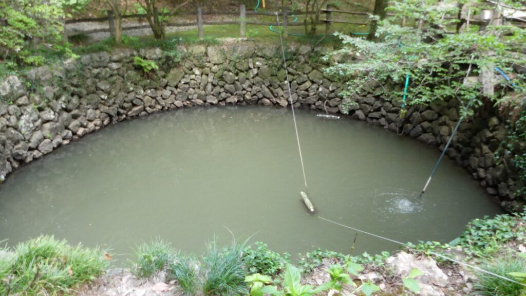
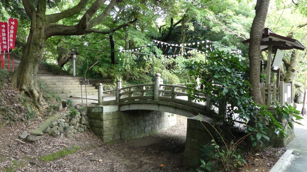
If you go ahead to the center on the main route, you will see a large well called Oi-no-ido on the left. It is 9m in diameter and over 8m deep and it still has spring water inside. The castle ruins have other wells, too. They were essential for the castle to be besieged for a long time. You will next see large and long dry moats, called Yotsumebori (meaning the fourth moat), which divided the main portion and the others. Only the fixed concrete arch bridge, called Shinkyo, goes over the moats. It was said to be originally a draw bridge which would have been fallen when a battle happened. People often say Uesugi Kenshin attacked this point but failed.

The Oi-no-ido Well
Kuruma-ido Well below the main enclosure
The Yotsumebori dry moats
The Shinkyo Bridge

Four tiered Major Enclosures

The main route as the shrine’s approach goes on right side of the main portion. The portion consists of four tired enclosures, the belt, third, second and main enclosures from the bottom to the top. In particular, the third enclosure is the largest, which was said to be used as a reception room. You can visit it via a side path. There will be a division point of the approach and the original main route. If you go straight on the approach, you will reach below the stone steps of the shrine on the main enclosure. Otherwise, you can turn left and get to the second enclosure. It is recommended for castle visitors to take the latter because you can see the great stone walls of the main enclosure close by on your right.

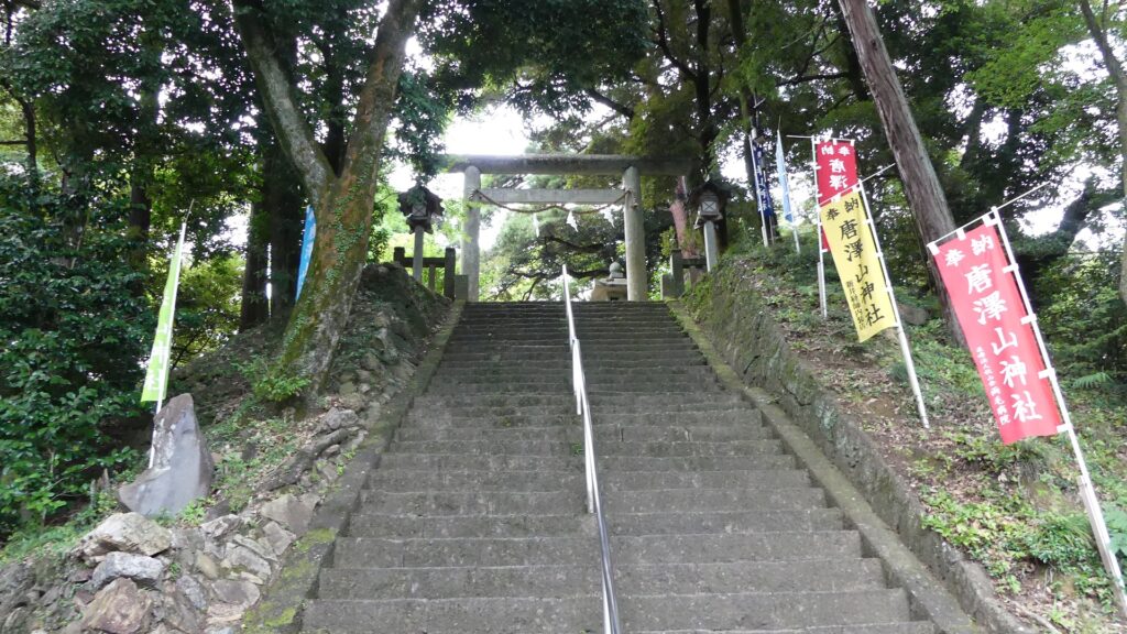
The approach to the shrine
The side path to the third enclosure via the belt enclosure
The belt enclosure
The third enclosure
The spot below the main enclosure
If you turn left, you will see the great stone walls on the right

To be continued in “Karasawayama Castle Part3”
Back to “Karasawayama Castle Part1”

143.Mino-Kaneyama Castle Part2

The castle ruins in a natural park

Features

Berbican Enclosure with well remaining Stone Walls

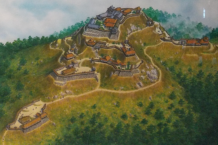
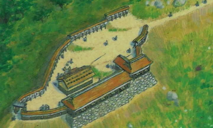
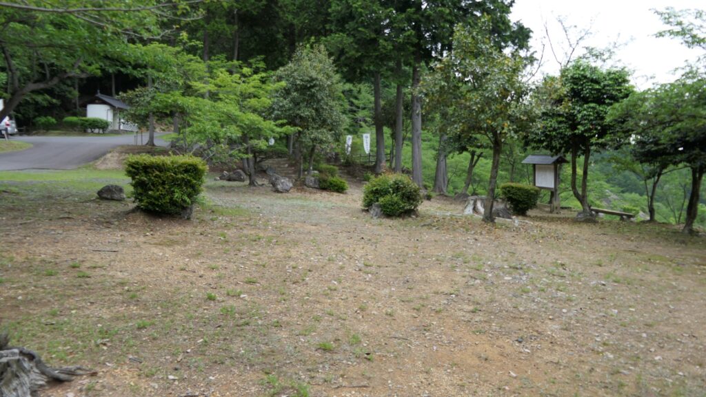
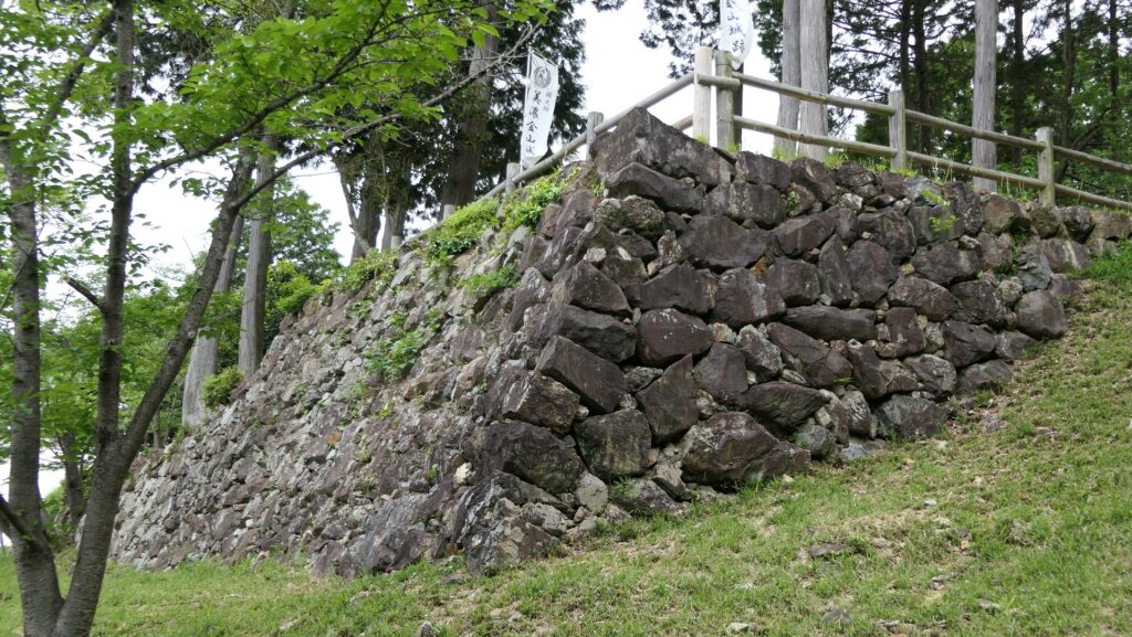
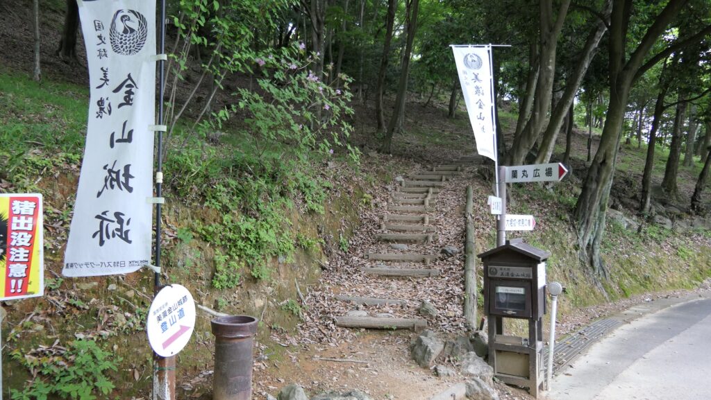
Today, the ruins of Mino-Kaneyama Castle have been well developed as part of a natural park though no castle buildings remain. Many people visit the park to relax. If you visit there by car, you can park at the Berbican Enclosure on the mid slope of the mountain. Don’t forget to see the stone walls around the enclosure as they are only walls still intact in this castle. You will understand its reason once you climb up to the Main Enclosure.

The imaginary drawing of the whole Mino-Kaneyama Castle, exhibited by Sengoku Yamashiro Museum

the map around the castle

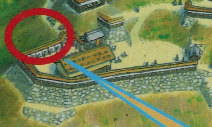
The imaginary drawing of the Barbican Enclosure in the past, from the signboard at the site
The present Barbican Enclosure
The remaining stone walls of the Barbican Enclosure

Third Enclosure with trace of Castle destroyed

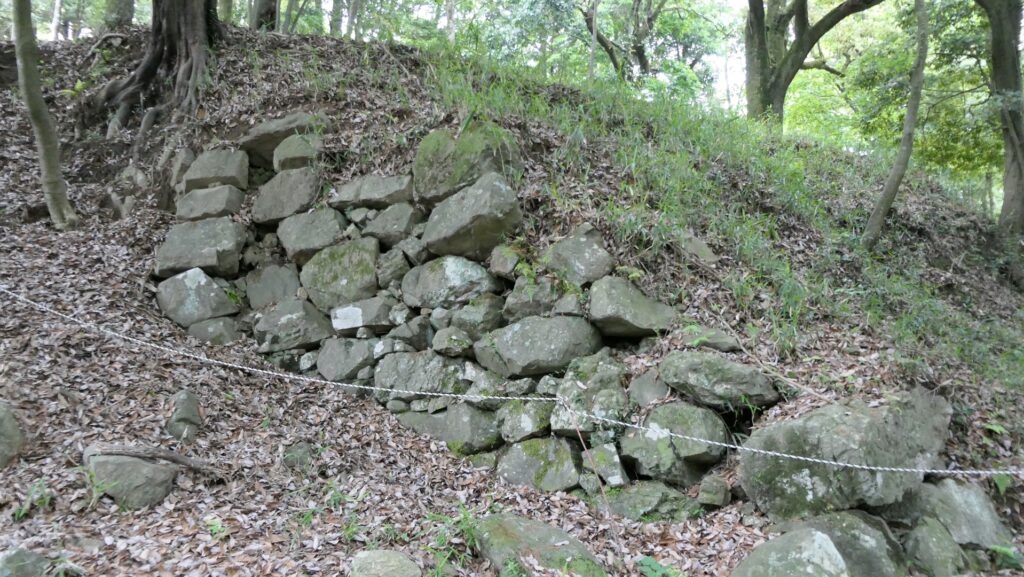
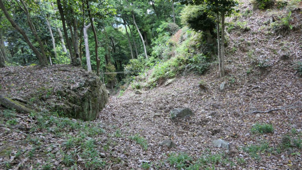
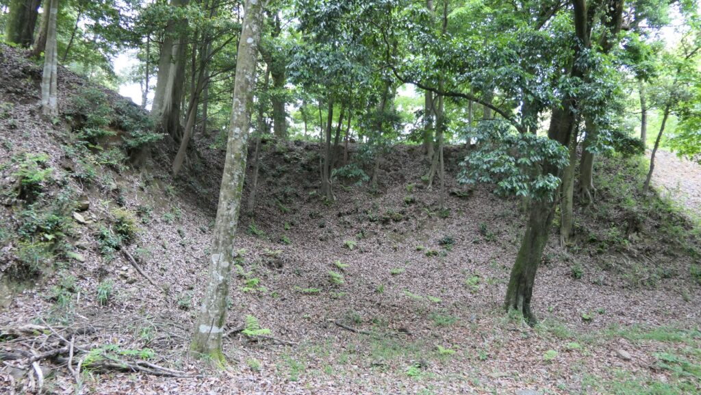
From the parking lot, you can first enter the Third Enclosure where you will see its stone walls partially collapsed. This is the trace of the castle being intentionally destroyed. No one would be able to build another castle on it and it could also be the sign that the castle had been abandoned. This enclosure has another entrance on the opposite side, which leads to the castle town, however, the route can’t be used now.

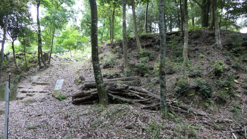
The entrance to the Third Enclosure
The imaginary drawing of the Third Enclosure in the past, from the signboard at the site
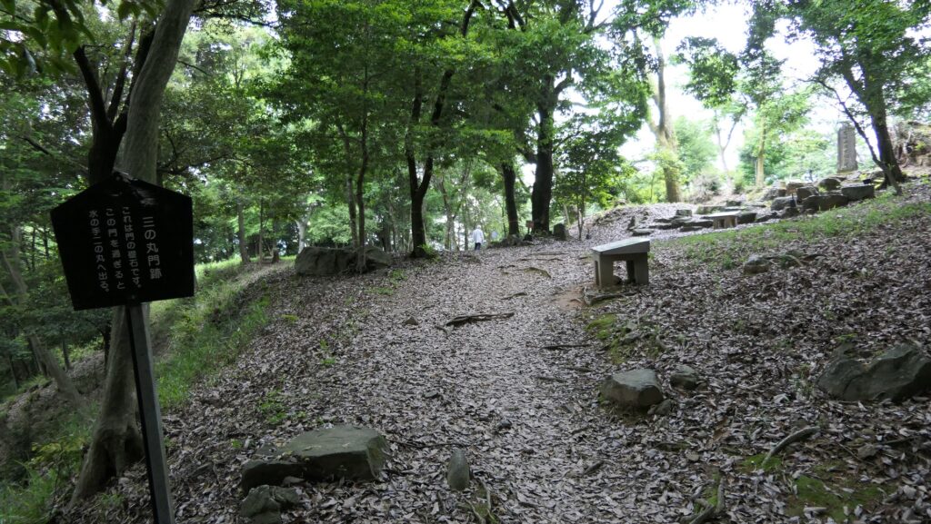
The present Third Enclosure (gate ruins)
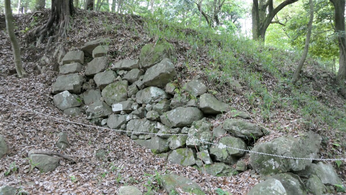
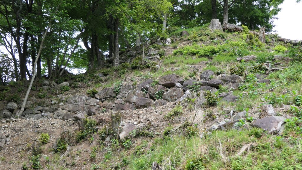
The partially destroyed stone walls
The other gate ruins

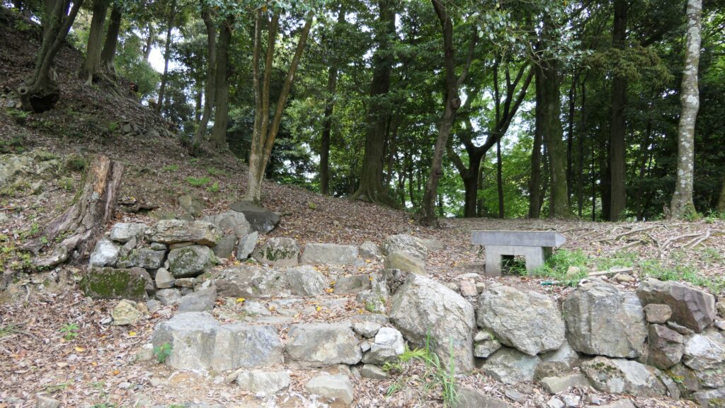
You can also see the partially remaining stone walls of the Second Enclosure above the Third Enclosure.

The imaginary drawing of the Second Enclosure in the past, from the signboard at the site
The partially remaining stone walls of the Second Enclosure, seen from the Third Enclosure
The present Second Enclosure

Masugata, Important point for Defense

You can go further to the Belt Enclosure surrounding the Main Enclosure by passing the Second Enclosure. You will see many collapsed stones from past stone walls on the way there.

Going to the Belt Enclosure
The slopes of the Belt Enclosure, seen from the Second Enclosure
Many collapsed stones on the way

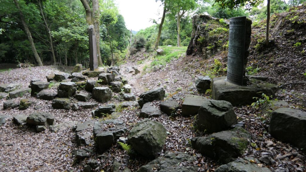
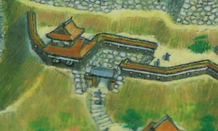
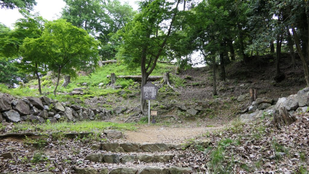
The Belt Enclosure had a square defensive entrance called Masugata, with the Main Gate standing in front of it. That meant it was an important point for the castle to protect. You can now see the ruins of it with the front stone steps and some stone walls surrounding the square space. The ruins of the Second Gate are on the right side of the space and lead to the Main Enclosure.

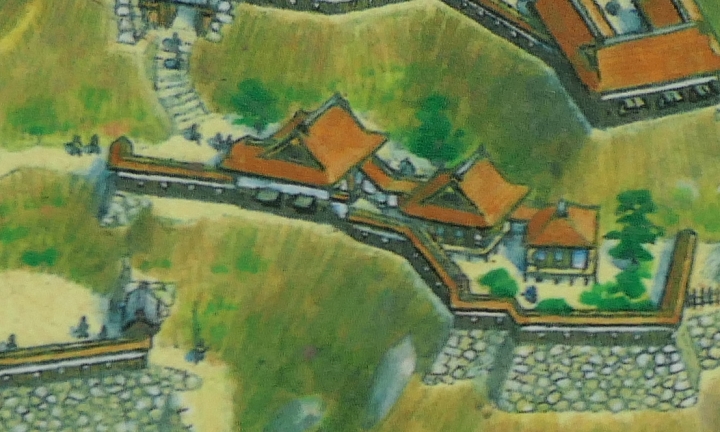
The imaginary drawing of the Masugata Entrance in the past, from the signboard at the site
The present Masugata Entrance
The ruins of the Second Gate

To be continued in “Mino-Kaneyama Castle Part3”
Back to “Mino-Kaneyama Castle Part1”