23.Odawara Castle Part2

I think that the bast way to feel what Odawara Castle was during the Sengoku Period, would be to wak the So-gamae structure. Therefore, this article will show you how to walk around the So-gamae in the current Odawara City.

Features

I think that the bast way to feel what Odawara Castle was during the Sengoku Period, would be to wak the So-gamae structure. Therefore, this article will show you how to walk around the So-gamae in the current Odawara City.

Rare Remaining So-Gamae structures on Plain Area

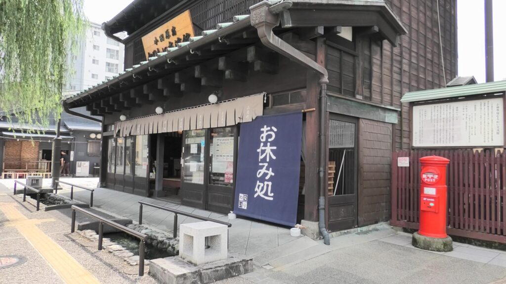
Unfortunately, there are only a few remaining structures of So-gamae on the plain city area. First of all, it might y be better to walk the old Tokaido Road to the east. The starting point would be Matsubara Shrine, or a rest station called “Odawarajuku-Nariwai-Koryukan”, which are located at the center of the old transportation hub of Odawara.
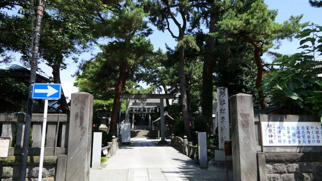
The Matsubara Shrine
The rest station

It would be more comfortable to go on Kamaboko Street, where there are many traditional Japanese fish cake (which is called Kamaboko) shops are located, which is also similar to the route of the old Tokaido Road during the Sengoku Period. If you walk along the street for a while, you will eventually reach Hojo Inari Shrine. The shrine was built by the Hojo Clan and at the southeast corner of the So-gamae structure.
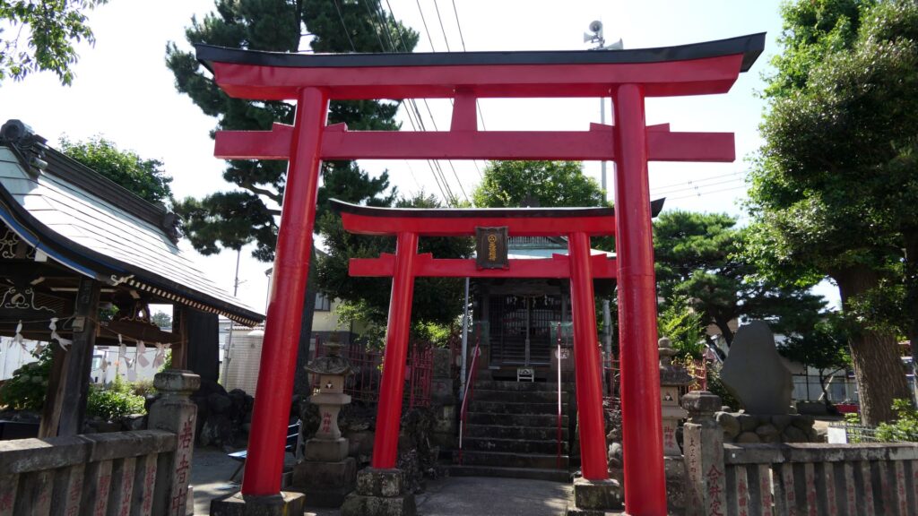
The Hojo Inari Shrine

If you turn left to the north of the shrine, you will soon find the ruins of Edoguchi-mitsuke (which means the gate to Edo). The gate was the eastern entrance of Odawara Transportation Hub during the Edo Period. It was also the Sannoguchi Gate of the So-gamae structure earlier on. Therefore, the partitions of the gate were used until the end of the Edo Period.
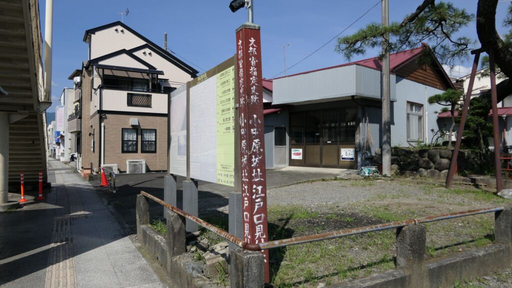
The ruins of Edogchi-mitsuke

In addition, there is also Sanno Shrine, which is little far from the gate ruins, which was a defensive position of the Hojo Clan outside the So-mgamae during the Battle of Odawara. The only direct fighting during the battle happened at this site.
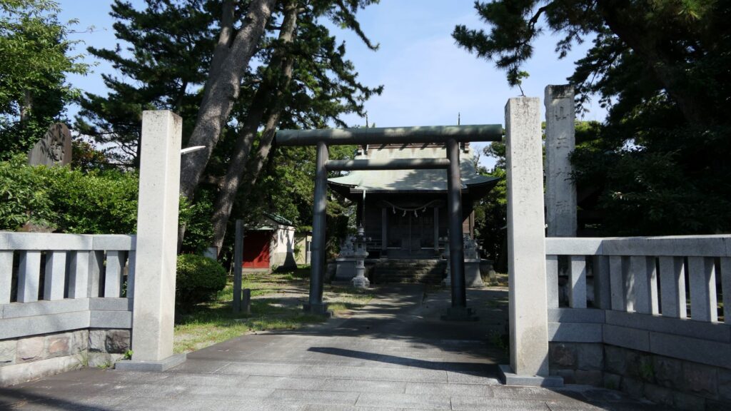
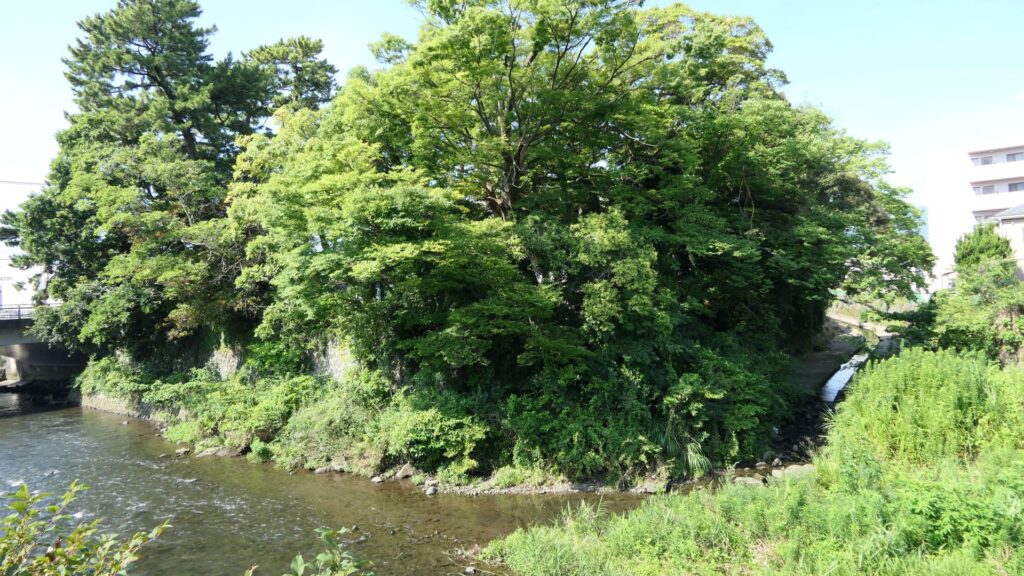
The Sanno Shrine
The ground of the shrine looks like a defensive position

If you go on the path beside the gate ruins, you will eventually arrive at one of the few remaining structures of So-Gamae in the city area. It is called, Renjoin Temple Earthen Walls, which is about 100m long and about 3m high. It was originally set with a moat and more defensive than this single unit. You will see a large dent on the walls, which was caused by the Odawara air raid in 1945 during World War II. The ruins had a long history through the multiple periods.
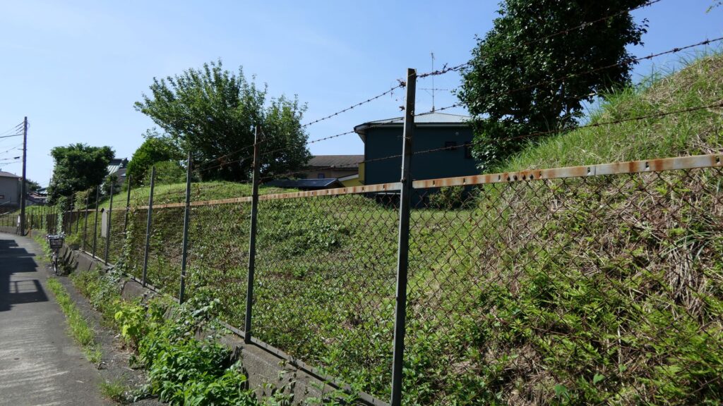
The Renjoin Temple Earthen Walls

Remaining Structures on the Hill Areas

An easy way to the So-gamae structure on the hill area is to go on the opposite street of a park, called “Medaka-no-gakko”. The street will go up on Yatsu Hill, one of the hill areas behind the Odawara city area. You will eventually find the ruins of Shiroshita-Haridashi. Haridashi refers to the overhanging part of the So-gamae structure. The defenders could have lookout point of the attackers and could counterattack the side from the site. The remaining structure is the base of the overhanging part. That’s why the line forms a right angle.
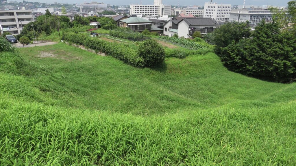
The ruins of Shiroshita-Haridashi.

You can also look around the remaining dry moats along the hill. However, most of them are currently farms now, where visitors are not allowed to enter.
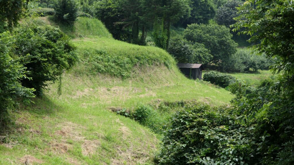
The dry moats which have become farms

If you continue to go along the street for a while, you will eventually encounter a three-way intersection. Turn right at the intersection, then you will be able to travel on the So-gamae structure easily.
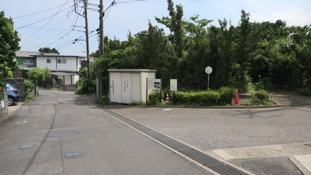
The three-way intersection

After a while, you will be at Yamanokami-Horikiri. Horikiri refers to a ditch separating a hill in order to avoid the enemies from attacking through the hill. If you go to the bottom edge of the Horikiri, you will find the dry moat of the So-gamae structure touching the Horikiri at right angles. However, the moat is much deeper than the Horikiri. That means the enemies that fell inside the moat, would not be able to invade the Horikiri easily.
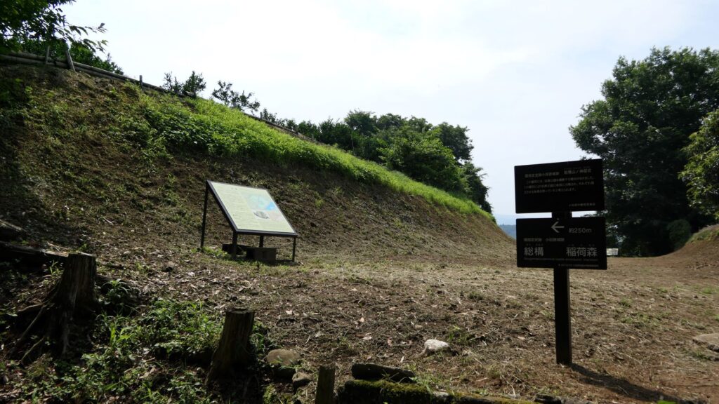
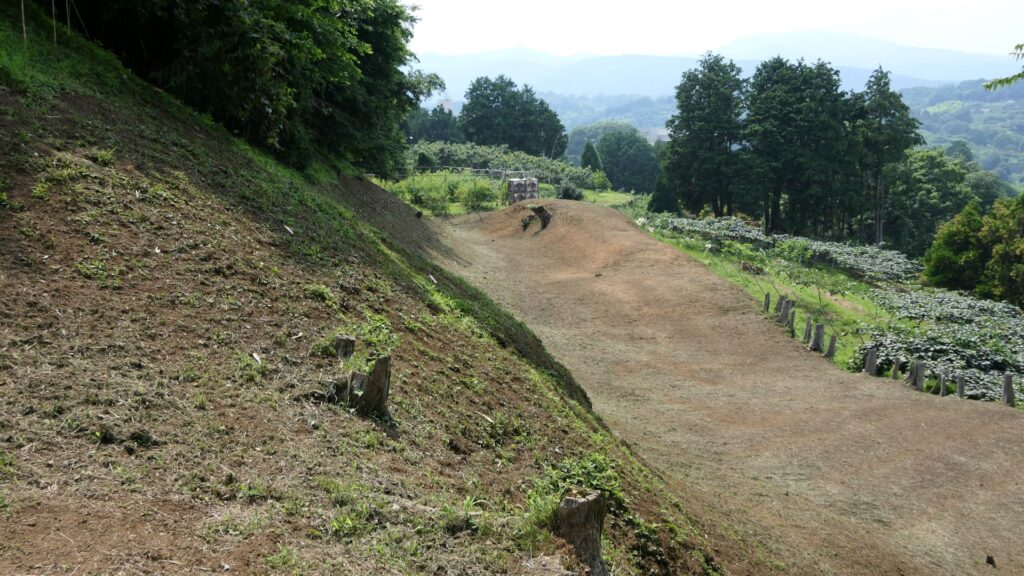
Yamanokami-Horikiri
Looking at the moat of the So-gamae structure from the edge of the Horikiri ditch
Looking up the earthen walls of the So-gamae structure and the ditch from the bottom of the moats

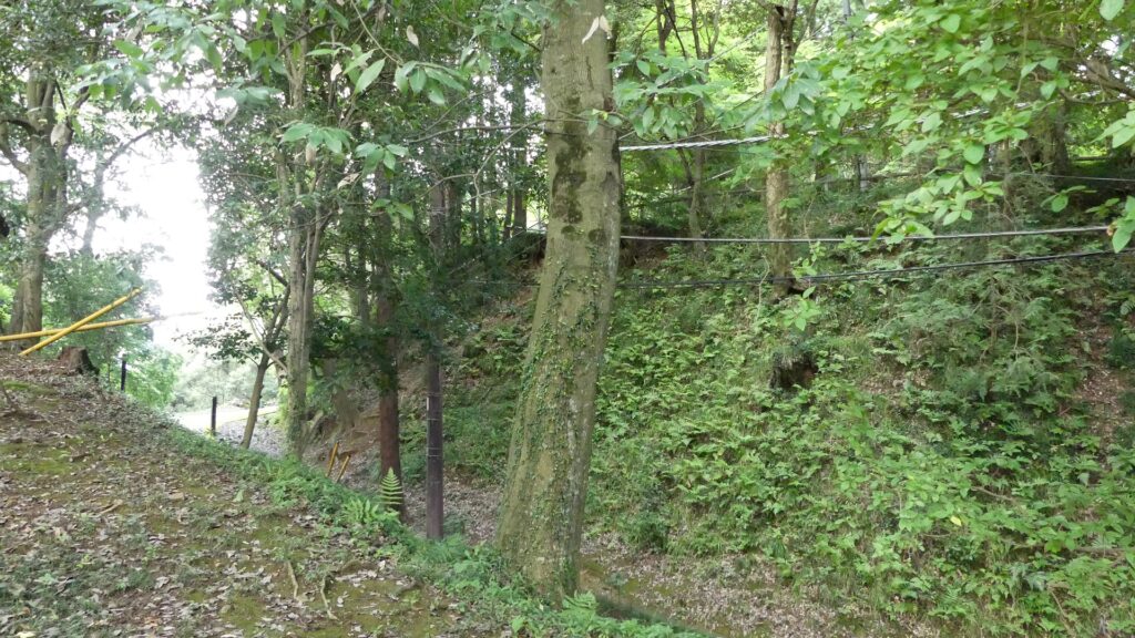
Next comes Inari-mori (which is the town name). At this site, the earthen walls and dry moats of the So-gamae makes a dent inwards along the natural terrain. The outside of the depression looks like an isolated island. The Hojo Clan also built earthen walls on the island in part to not allow enemies to stay there. This site is one of the most intact parts of the So-gamae structure. The moats managed to keep their original conditions of about 10m deep and over 50-degree slant. This is probably why the visitors are kept out from the moats by ropes and poles.
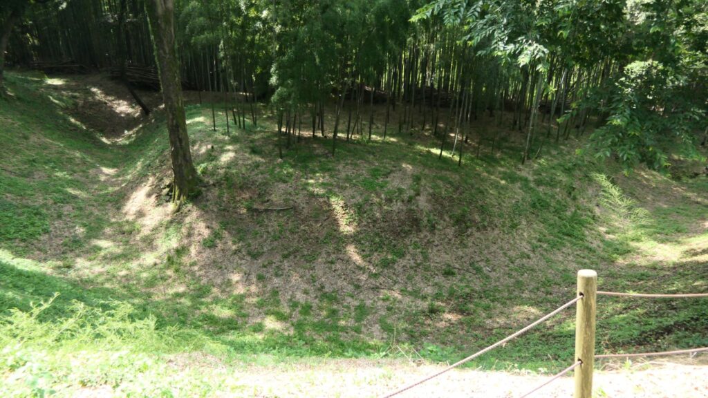
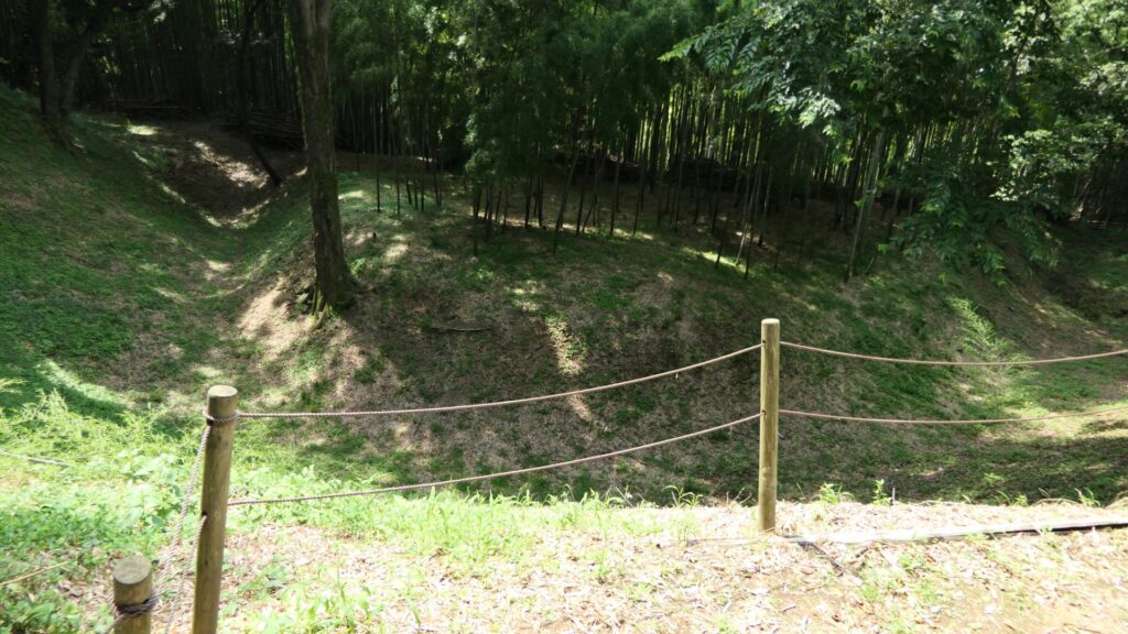
Inari-mori
Visitors can only see the ruins

Large Ditchies of Komine Okane-no-dai, Highlight of So-gamae Structure

The northern part of Odawara City is surrounded by the three hill areas: Hachimanyama, Tenjinyama, and Yatsu. Komine Okane-no-dai hill is part of the Hachimanyama hill area and the highest among the areas. Therefore, the hill was the most important spot for the Hojo Clan in terms of protecting Odawara Castle from invasion. The clan eventually separated the hill by building three ditches. If you walk from the Inarimori Ruins along the So-gamae structure, you will reach the intersection to the three ditches. If you turn right, you will be at the western ditch, left to the eastern ditch, or if you keep going straight, it will lead to the central one.
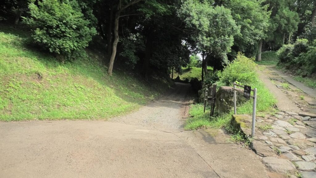
The intersection to the three ditches

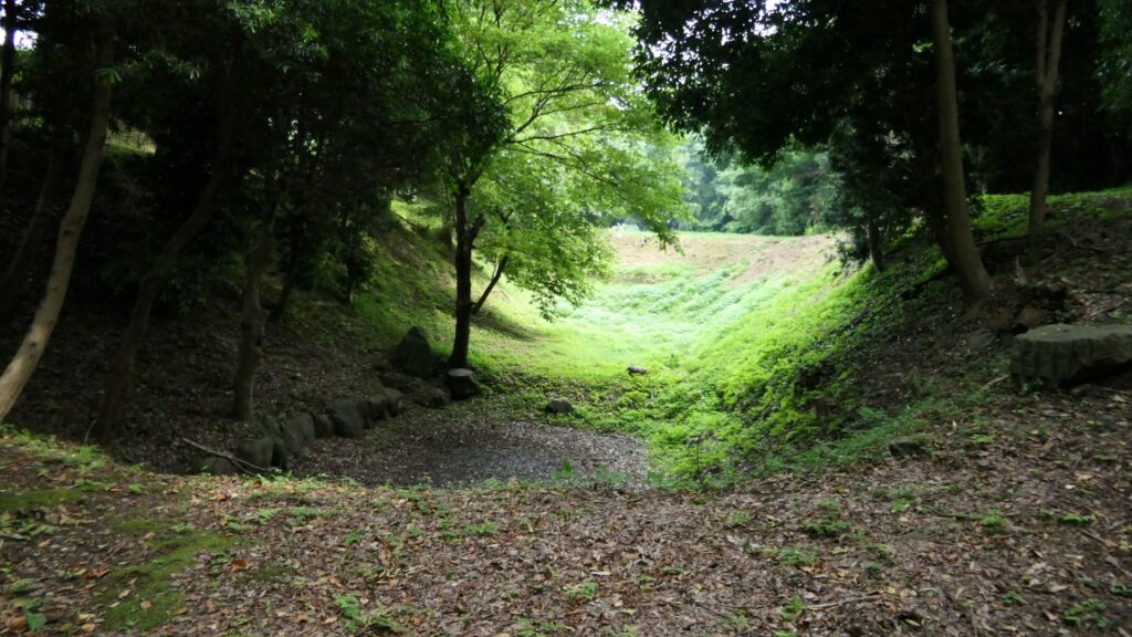
The western ditch is at the outermost area on the hill, which was originally over 200m long, but is now only 150m long. It was built just before the Battle of Odawara. The ditch seems to get shallower and gentler compared to the original condition. However, if you look at the bottom of it, you can still see something that resembles partitions, which may be the traces of the Shoji-bori system. The edge of the ditch is still connected to the moat of the So-gamae structure.
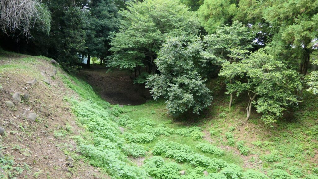
The western ditch
The bottom of the ditch

Next comes the central ditch, which was built at the same time as the western one. The bottom of the ditch is now used as a modern road. You can still see some of the earthen walls around it remaining. A connecting road between this ditch and the eastern ditch still exists.
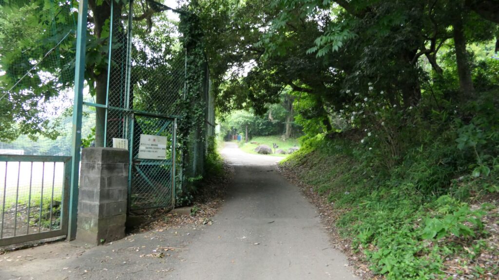
The central ditch

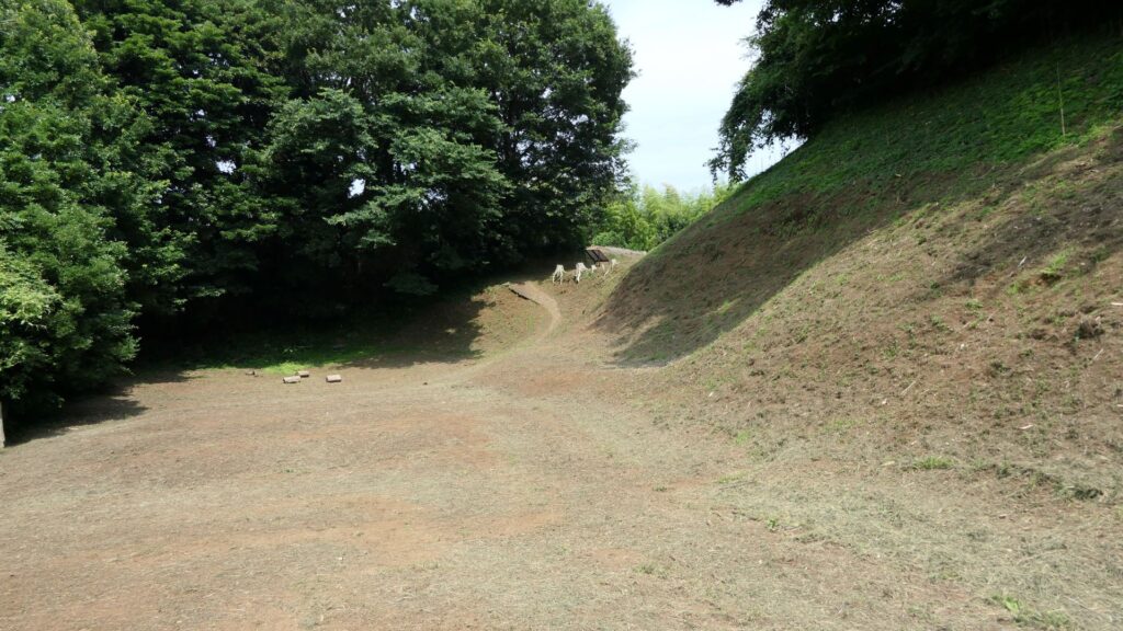
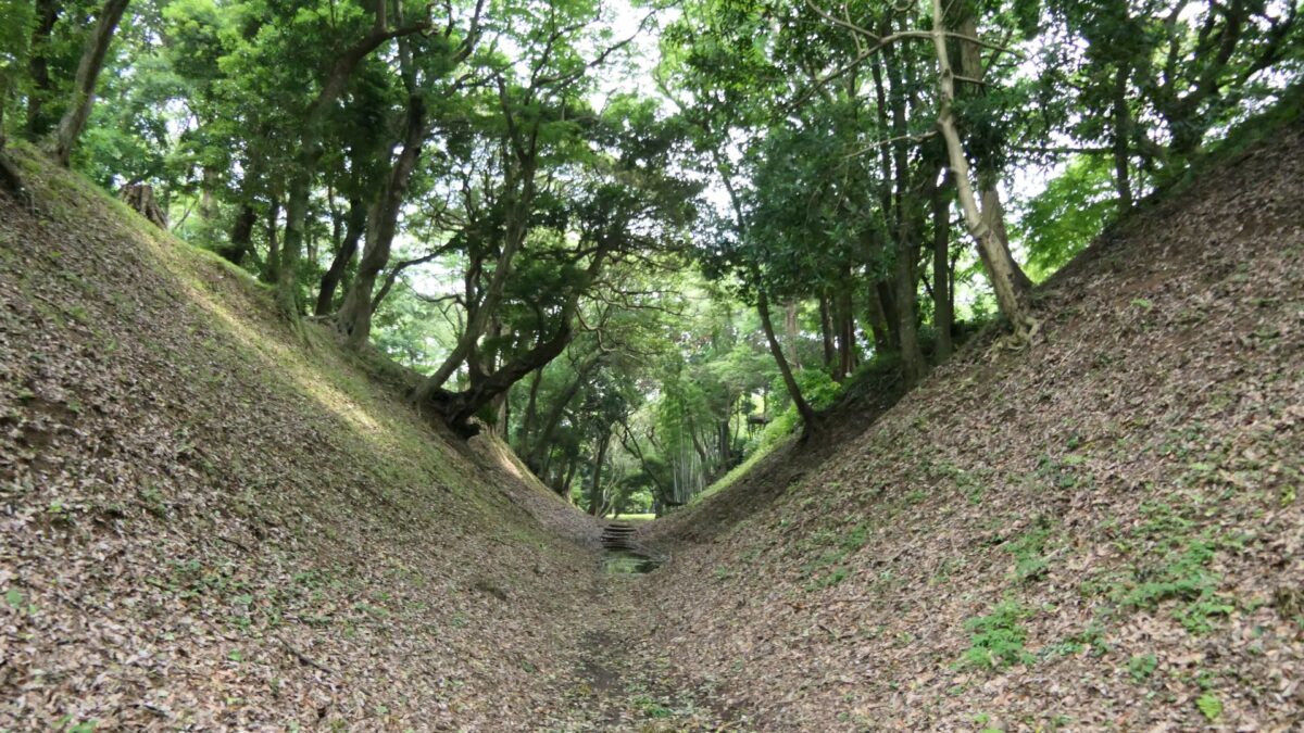
You will finally arrive at the eastern ditch, which has been developed as a park. You can easily walk the bottom of it. This ditch is the most intact one among the three ditches, which is 280m long and 25 to 30m wide, the same as the original conditions. It is currently 8 to 10m deep, but it was originally about 12m with the Shoji-bori system. Its slant is about 50 degrees, which may be the same as original one, too. The bottom of the ditch is not straight but rather curved, which made it difficult for enemies to walk through smoothly.
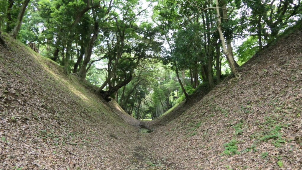
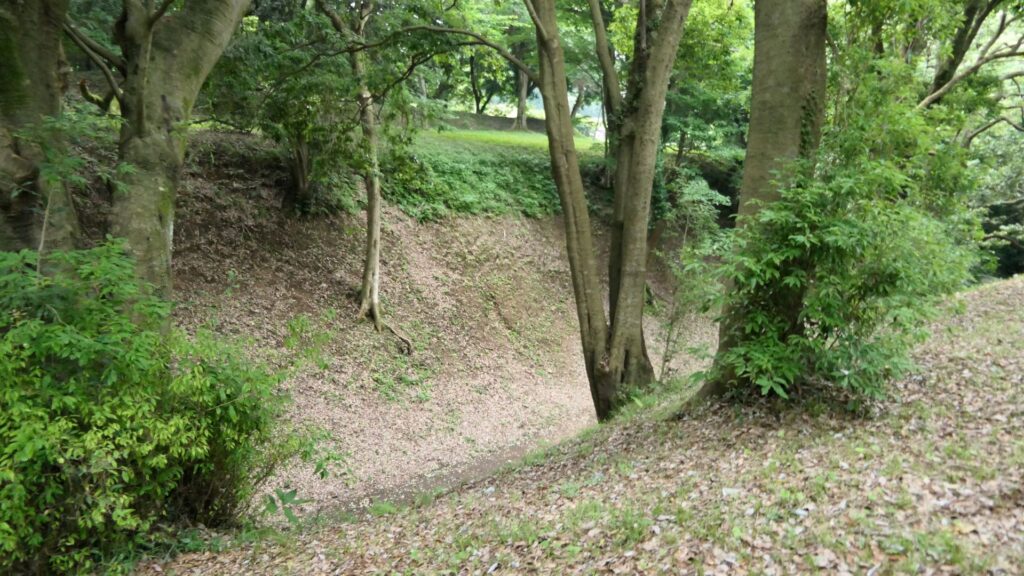
The eastern ditch
The ditch seen from its earthen walls around
The southern entrance of the ditch

Where is the goal of the So-gamae?

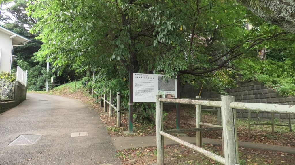
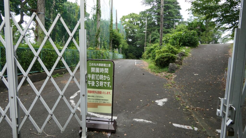
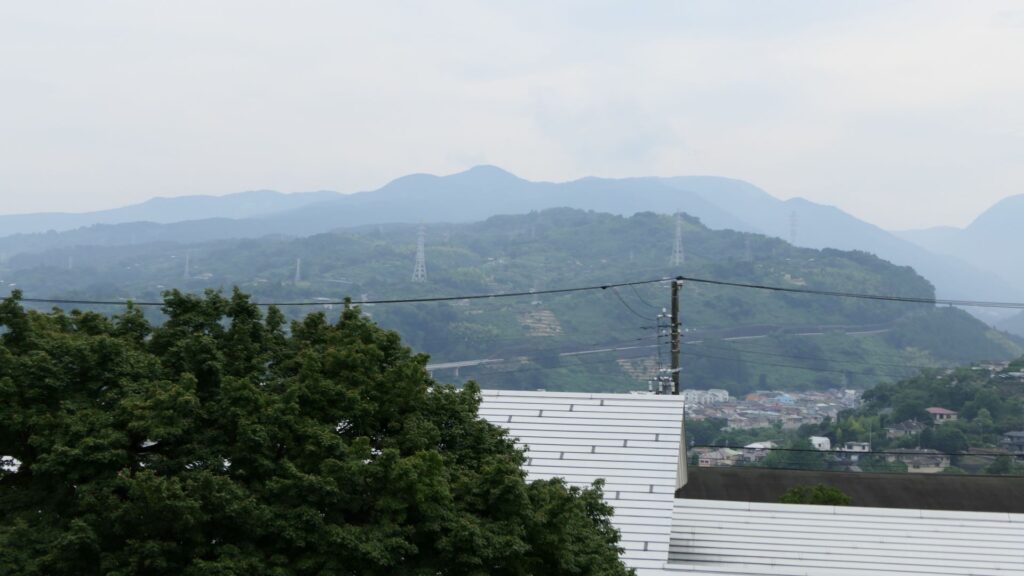
You will eventually go down on the hill to the New Moats and Earthen Walls of the Outer Third Enclosure. This place is where Ujimasa Hojo launched the constructions of the So-gamae structure. You can see a great view to the west from there, including Ishigakiyama Mountain where Hideyoshi Toyotomi built his Ishigakiyama Castle during the Battle of Odawara Castle. There is another interesting story where the Hojo side was very surprised to see the completion of Ishigakiyama Castle after all the trees around were cut down, called “Ichiyajo” which means “one night castle” (a castle that only took one night to build). However, the story may be doubtful because the castle ruins can clearly be seen from the site. In addition, please be mindful that the site closes at 3:00 PM, which is much earlier than other historical sites.
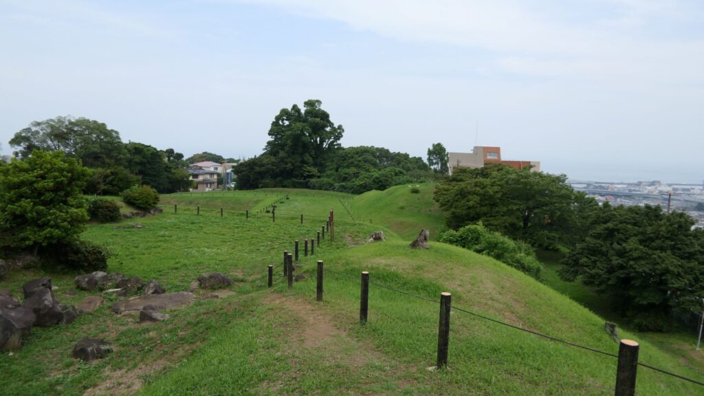
The New Moats and Earthen Walls of Outer Third Enclosure
The view to the west from the site
You need to check out the opening hours of the site

You will next walk down to the Tenjinyama hill area. This area also has walls of the So-gamae, called the Earthen Walls, at the west of Denjoji Temple. The walls are located in front of the elevated railways of the Shinkansen (bullet train) and used as a graveyard. If you look up the site from below, you will realize this structure uses natural terrain as well.
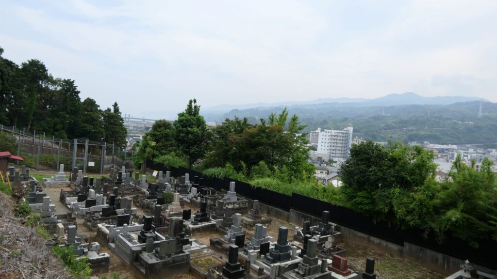
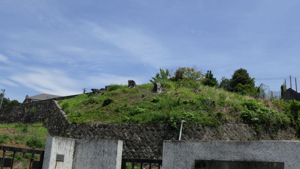
The Earthen Walls, at the west of Denjoji Temple
Looking up the walls

After returning to the city area, you should also check out Hayakawa-guchi Ruins (Guchi means entrance or route), one of the few remaining items of the So-gamae structure on the plain area. The Hayakawa-guchi entrance was the front line to the west, where the Toyotomi troops attacked from. Therefore, the entrance was fortified heavily by doubled earthen walls and moats. If you enter the ruins, which have been developed as a park, you will eventually find that the park is sandwiched between the remaining doubled walls.
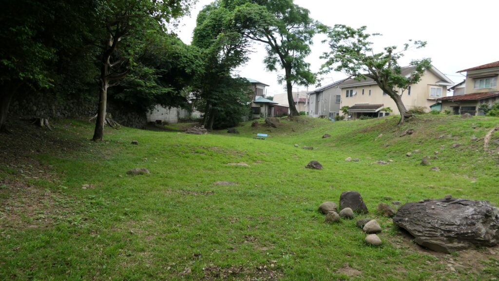
The Hayakaga-guchi Ruins

Other than that, you will be able to find other remaining earthen walls of the So-gamae structure, which are used as the bases of the modern residences along the seaside. If you find one of them, you will be able to understand that these structures were built on such a place and are still intact for the modern facilities to use. This will conclude the tour of the So-gamae structure.
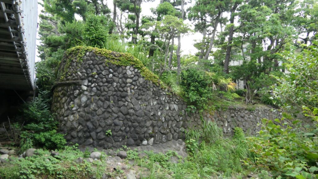
This base of the modern residence uses the earthen walls of the So-gamae structure (its stone walls were probably added later on)

To be continued in “Odawara Castle Part3”

114.Karasawayama Castle Part2

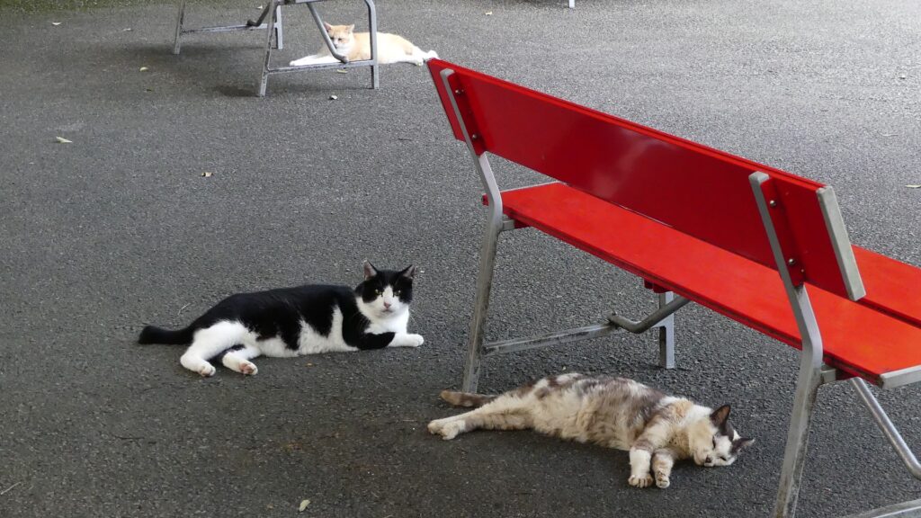
Today, the ruins of Karasawayama Castle have been well developed as Karasawayama Shrine. Many people visit the shrine to pray for something, hike the mountain, see a great view, and recently see lots of friendly cats living in the shrine. Of course, some of the visitors enjoy historical items at the site as well.

Features

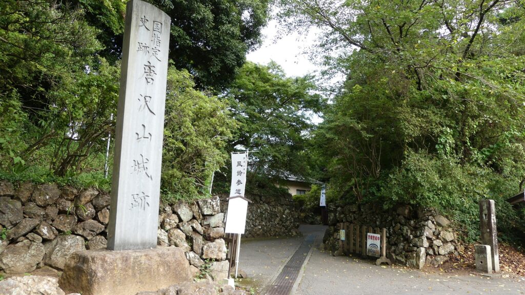
Castle Ruins are developed as Karasawayama Shrine

Today, the ruins of Karasawayama Castle have been well developed as Karasawayama Shrine. Many people visit the shrine to pray for something, hike the mountain, see a great view, and recently see lots of friendly cats living in the shrine. These cats seem to have been strayed or abandoned, but are now fed by volunteers and visitors.

Some of the cats living in the shrine

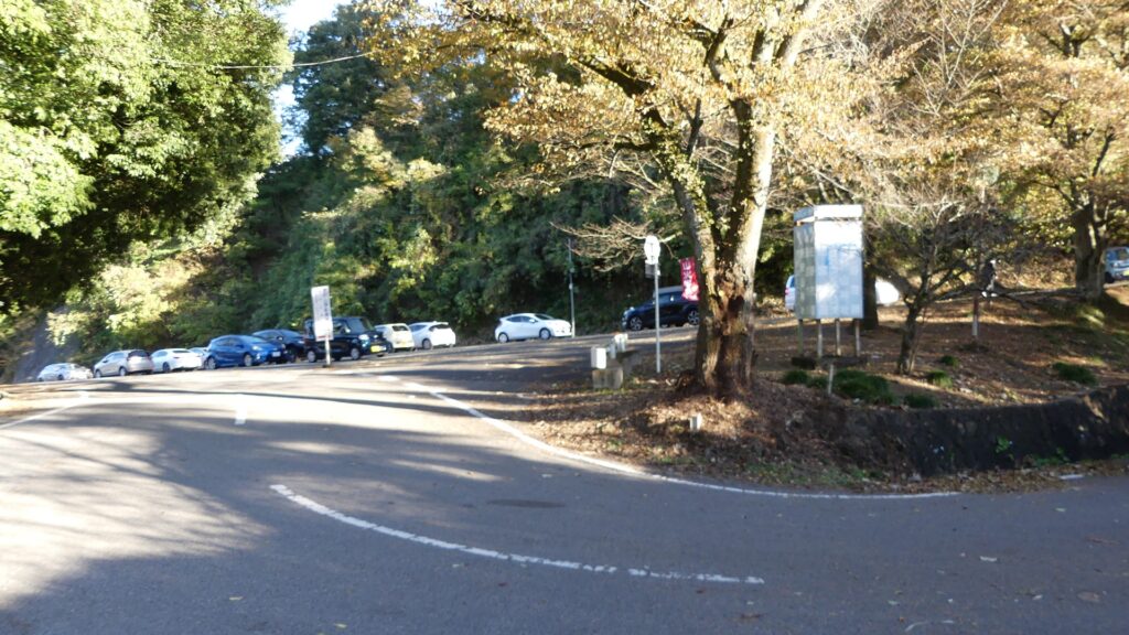
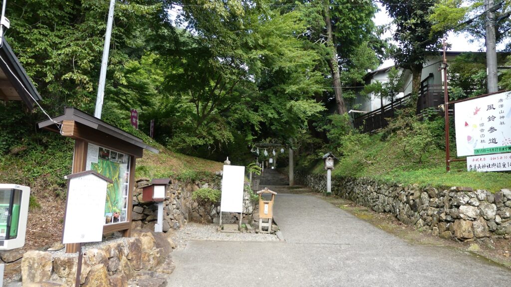
Of course, some of the visitors enjoy historical items at the site as well. There are main routes from the foot of the mountain to the top in the south and west, similar to the castle’s period. In addition, the current routes have been developed for both cars and hikers, which means there are at least four routes.

The map around Karasawayama Shrine

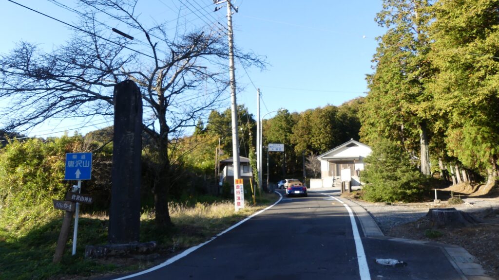
The southern route
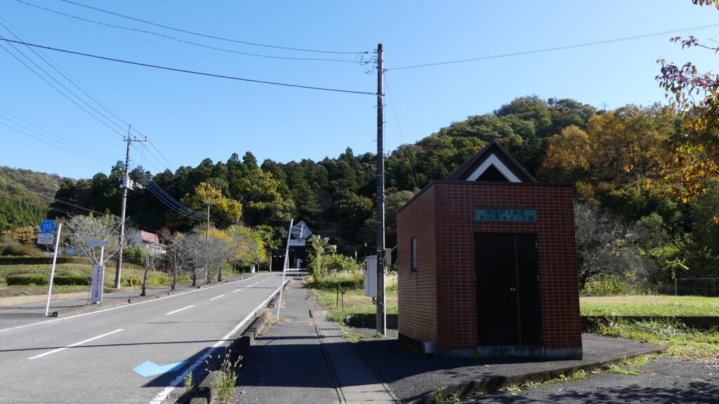
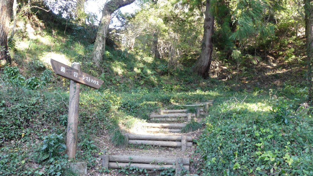
The western route
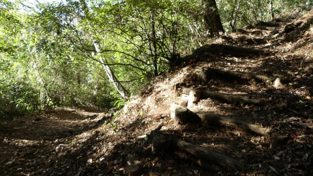
The western hiking course (part of the original path)

Past and Current Routes

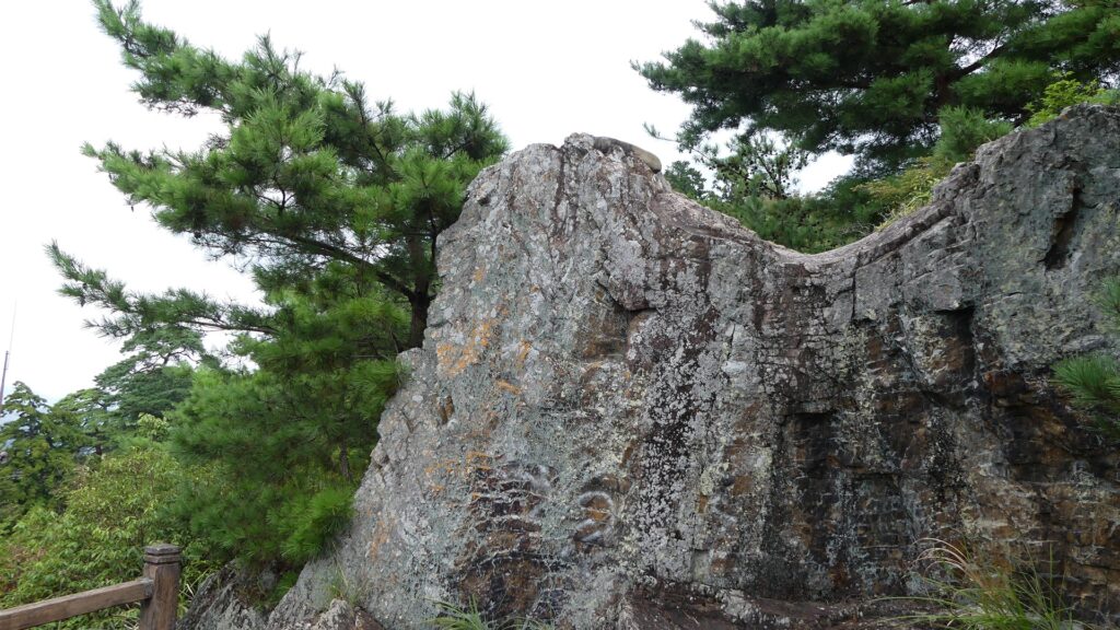
They are not the same as the original routes to the castle. For example, the two paved roads for cars from the two directions gather at the parking lot on the top. However, part of the road from the south was blocked by huge rocks near a remaining rock called Kagami-iwa (meaning the Mirror Rock). The two original paths to the castle gathered in front of the rocks and went to the Main Gate via zigzagging route.

The current meeting point
The past meeting point
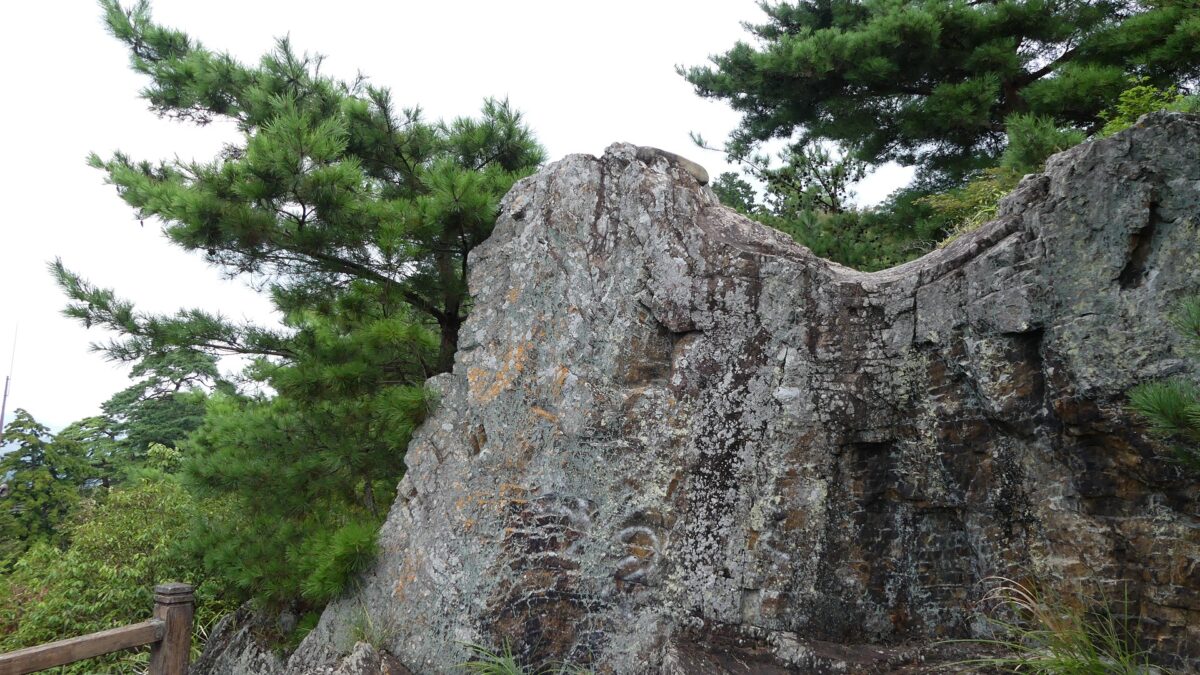
the Kagami-iwa Rock
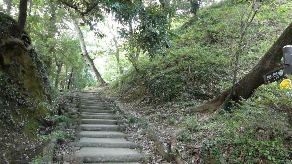
The original path to the Main Gate

Attractions along Main Route

If you enter the Main Gate Ruins from the parking lot, you will see the ruins have a typical alternating entrance with stone walls (but mainly built or renovated during the Meiji Era). The main route goes to the center inside the gate, but there are also some attractions from side to side. There is another huge rock called Tengu-iwa (meaning the long-nosed goblin rock) on the right (the southern side), which was a lookout and defensive point, and is a great viewing spot. There is also a hill on the left (the northern side), called Hiraishi-yama (meaning the mountain for avoiding enemies’ arrows). It was named after the armor the Sano Clan passed down from Hidesato Fujiwara, their founder. Therefore, it must have been used as another defensive spot.

The map around the castle

The ruins of the Main Gate
The main route
The Tengu-iwa Rock
A view from the rock
The Hiraishi-yama Hill

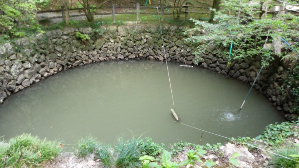
If you go ahead to the center on the main route, you will see a large well called Oi-no-ido on the left. It is 9m in diameter and over 8m deep and it still has spring water inside. The castle ruins have other wells, too. They were essential for the castle to be besieged for a long time. You will next see large and long dry moats, called Yotsumebori (meaning the fourth moat), which divided the main portion and the others. Only the fixed concrete arch bridge, called Shinkyo, goes over the moats. It was said to be originally a draw bridge which would have been fallen when a battle happened. People often say Uesugi Kenshin attacked this point but failed.

The Oi-no-ido Well
Kuruma-ido Well below the main enclosure
The Yotsumebori dry moats
The Shinkyo Bridge

Four tiered Major Enclosures

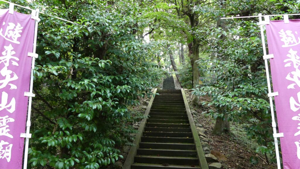
The main route as the shrine’s approach goes on right side of the main portion. The portion consists of four tired enclosures, the belt, third, second and main enclosures from the bottom to the top. In particular, the third enclosure is the largest, which was said to be used as a reception room. You can visit it via a side path. There will be a division point of the approach and the original main route. If you go straight on the approach, you will reach below the stone steps of the shrine on the main enclosure. Otherwise, you can turn left and get to the second enclosure. It is recommended for castle visitors to take the latter because you can see the great stone walls of the main enclosure close by on your right.

The approach to the shrine
The side path to the third enclosure via the belt enclosure
The belt enclosure
The third enclosure
The spot below the main enclosure
If you turn left, you will see the great stone walls on the right

To be continued in “Karasawayama Castle Part3”
Back to “Karasawayama Castle Part1”
112.Kasama Castle Part1

Kasama is a local city, located in the central part of Ibaraki Prefecture and the northeastern part of the Kanto Region. It is known for Kasama Inari Shrine and Kasama Pottery, which attract many visitors. However, they became popular after the emergence of Kasama Castle.

Location and History

Tokitomo Kasama, Mysterious General builds Castle

Kasama is a local city, located in the central part of Ibaraki Prefecture and the northeastern part of the Kanto Region. It is known for Kasama Inari Shrine and Kasama Pottery, which attract many visitors. However, they became popular after the emergence of Kasama Castle.

Kasama Castle[/leaflet-marker]

It is uncertain how the castle was first built. The only record available is called Kasamajo-ki (meaning the Record of Kasama Castle), later written during the Edo Period. According to the record, the castle was first built in 1219 during the Kamakura Period by Tokitomo Kasama who was a relative of the Utsunomiya Clan, one of the most powerful clans in the region. There was the Shofukuji Temple on Sashiro-yama Mountain where Kasama Castle would be built. The temple prospered on the mountain with the One Hundred Quarters and had many monk soldiers to protect it. A fight broke out with a rival temple called Tokuzoji Temple and they were outnumbered, so it asked the Utsunomiya Clan for help. Tokitomo was sent by the clan and defeated the Tokuzoji Temple. He even banished the Shotokuji Temple from the mountain and built the Kasama Castle.

Sashiro-yama Mountain
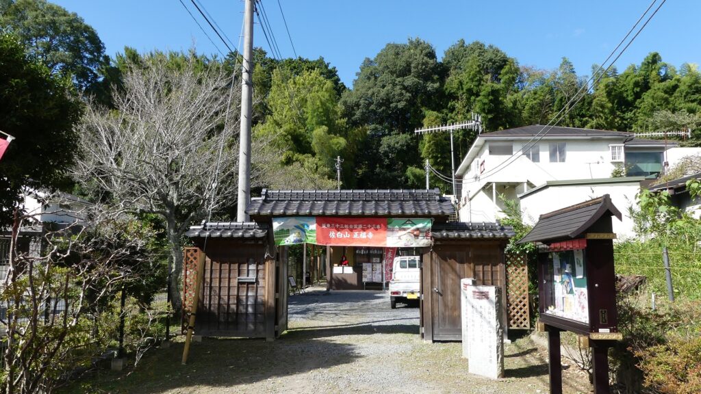
The current Shofukuji Temple at the foot of the mountain
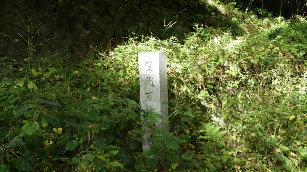
The signpost of the One Hundred Quarters Ruins

However, historians say, using fragments from other records, Tokitomo might have actually not been so radical. He was not only a warrior but also a medium class noble which other warriors rarely became. He was also highly educated and famous as a poet. There are also several remaining Buddha statues and sutras he donated to temples, which proved he was rich and religious. Overall, Tokitomo might have built the castle in a more coordinated manner. As a result, the Kasama Clan governed the castle and the area around for over 300 years until the Sengoku Period. The castle was thought to be a simple mountain castle, made of soil.

The Buddha statue Tokitomo donated to a local temple called Ishidera, quoted from the Kasama City Website
Rengeoin Temple at Kyoto where Tokitomo donated two other Buddha statues  (licensed by Akonnchiroll via Wikimedia Commons)

Satonari Gamo renovates Castle

The situation changed in the end of the 16th Century during the unification of Japan by Hideyoshi Toyotomi. The Kasama Clan declined and the Utsunomiya Clan was fired by Hideyoshi. Kasama Castle was followed by Satonari Gamo, a senior vassal of the Gamo Clan in 1598. The Gamo Clan served Hideyoshi for a long time and became one of the greatest lords in Japan. The clan also built or improved many castles like Matsusaka and Wakamatsu by building advanced items, such as high stone walls and Main Towers. The lord of the clan, Hideyuki Gamo lived in Utsunomiya Castle and one of his branch castles was Kasama Castle. Satonari improved Kasama Castle using the techniques and resources that the clan used. The Main Tower was built on the top of mountain with three-tier stone walls, called the Main Tower Enclosure. The Main and Second Enclosures were developed below the top and the route from the Main Gate to the top through these enclosures was built. Other stone walls were constructed along the route and each gate and enclosure was protected by an altered entrance or the Masugata system which refers to a square defensive space in the gate. The lord of the castle lived in the Main Hall in the Main Enclosure which also had several other turrets.

The ruins of Matsusaka Castle
Wakamatsu Castle
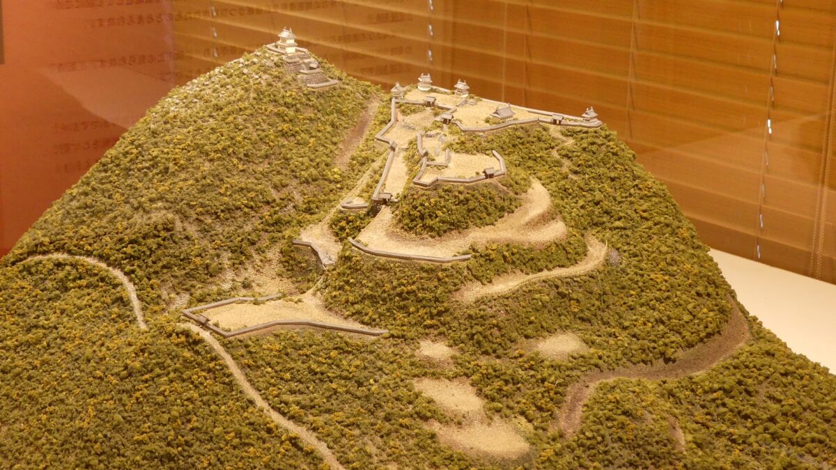
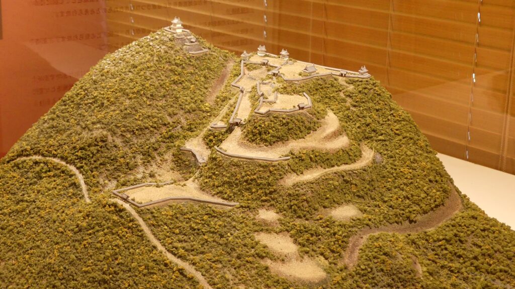
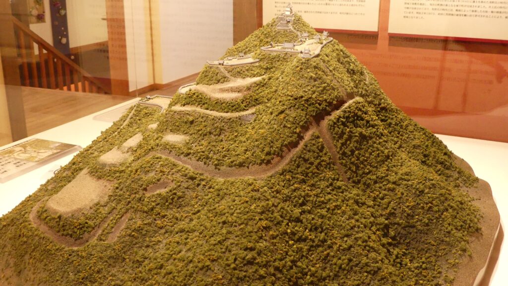
The miniature model of Kasama Castle, exhibited by Kasama History Exchange Center “Izutsuya”

Satonari developed Kasama Castle more in 1600 during a decisive battle when all the lords of Japan joined the Eastern Alliance or the Western Alliance. He joined the Eastern Alliance while the Satake Clan at Mito Castle in the neighboring area to the east of Kasama joined the Western Alliance. That’s why he needed to prepare to avoid the Satake Clan from invading. It is thought that Satonari built forts on three hills around the mountain and deep dry moats surrounding all the castle and the forts. The Eastern Alliance, which would be the Tokugawa Shogunate, finally won after nothing happened to Kasama Castle fortunately.

The ruins of Mito Castle
The dry moats surrounding the castle are put on the miniature model above as well
The remaining dry moats at the site

Other Clans like Asano and Makino follow Castle

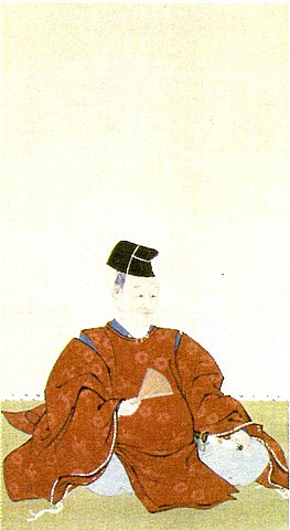
The shogunate transferred the Gamo Clan to another in 1601. Since then, Kasama Castle and the area around it were considered as the Kasama Domain, but the lord’s clan changed 8 times. A major event for the castle happened when the Asano Clan governed the domain between 1622 and 1645. The second lord, Naganao Asano built suburban residences, in fact a new Main Hall, at the foot of the mountain, for the convenience of the government. An episode about it was that the residences were very large and surrounded by earthen walls and white mud walls, which looked like a new castle that the shogunate banned from being built. Naganao conveted the mud walls to hedge fences to hide and not to make it look like a castle before the shogunate heard about it. He was transferred to Ako Castle in 1645 and renovated it, so he seemed to like castle constructions. His grandchild was Naganori Asano who would cause the Ako Incident which is one of the most popular events of Japanese history.

The portrait of Naganao Asano, owned by Kagakuji Temple (licensed under Public Domain via Wikimedia Commons)
The ruins of the suburban residences
The ruins of Ako Castle

The last clan to rule the Kasama Domain was the Makino Clan between 1747 and 1871, the longest and most stable period among the others. The Kasama Pottery started to be made and developed with the help from the domain during this period. In addition, the Kasama Inari Shrine also became popular during the Edo Period, which was visited by several clans governing the domain.

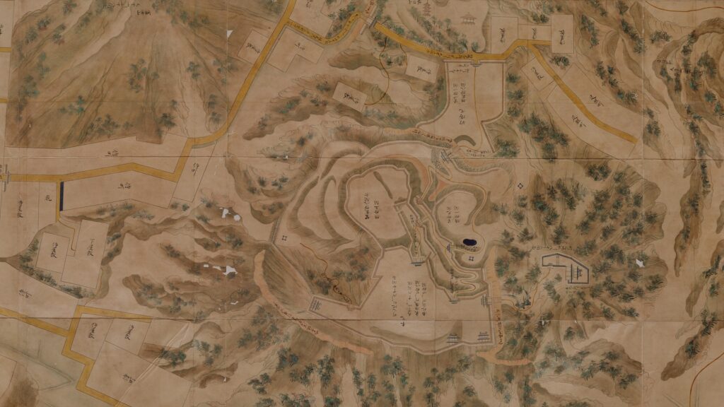
Part of the Illustration of Kasama Castle in Hitachi Province, exhibited by the National Archives of Japan
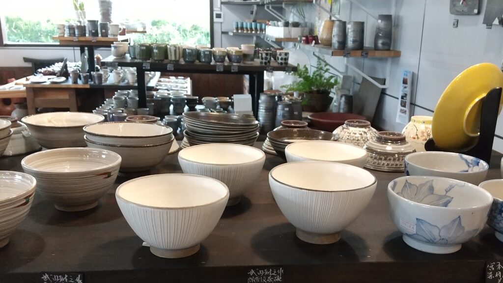
Kasama Potteries in the Kasama Pottery Cooperative Selling Center
The Worship Hall of Kasama Inari Shrine  (licensed by On-chan via Wikimedia Commons)

To be continued in “Kasama Castle Part2”