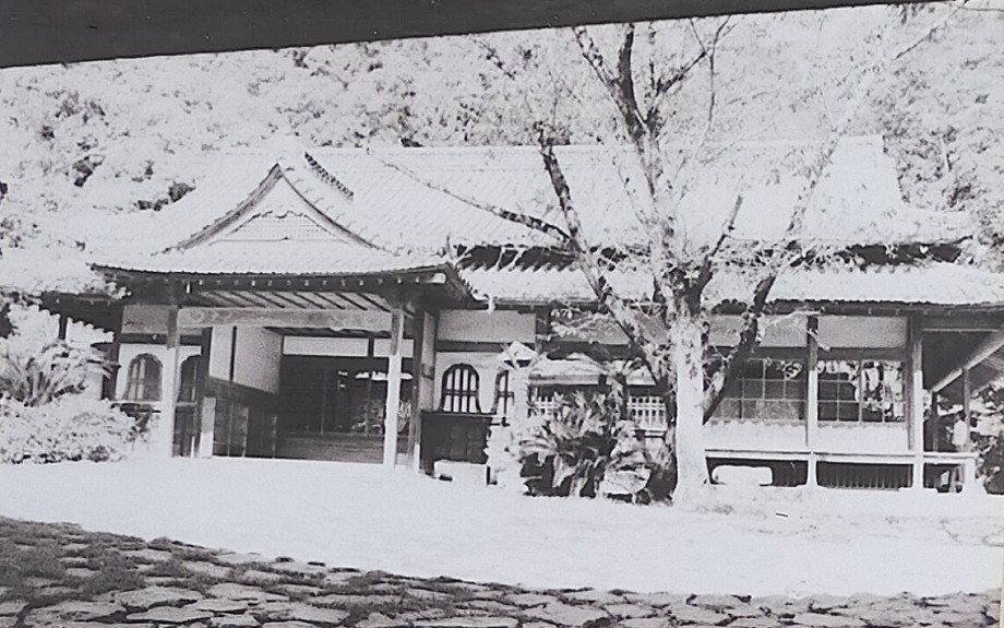
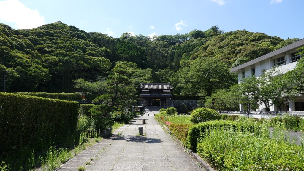
173.Nitakayama Castle Part2

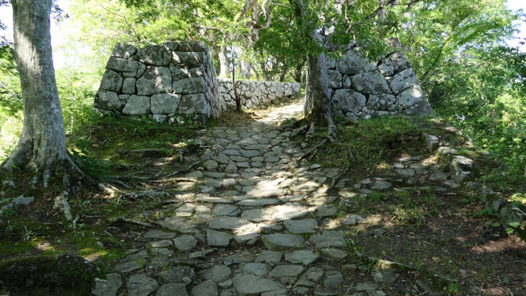
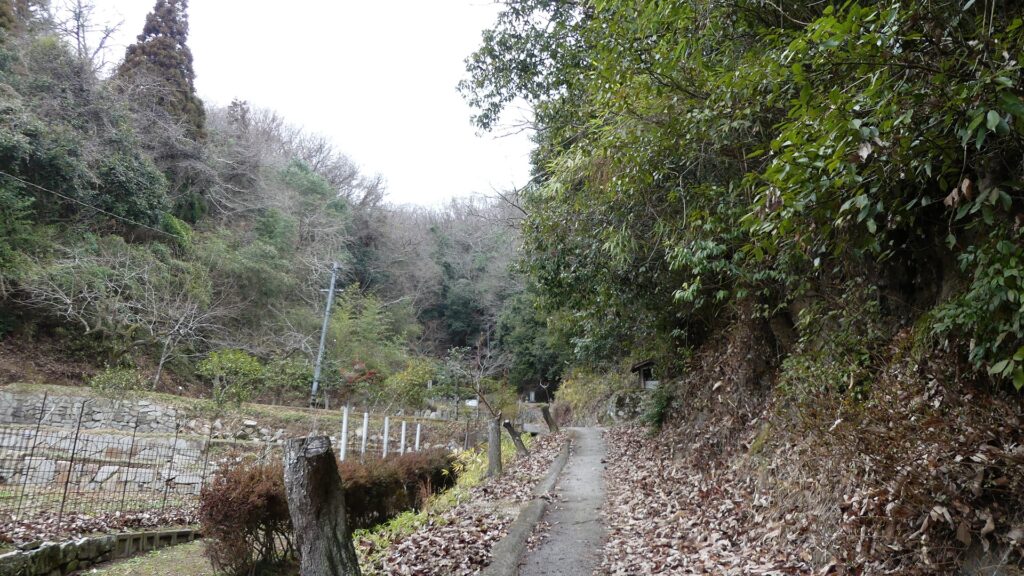
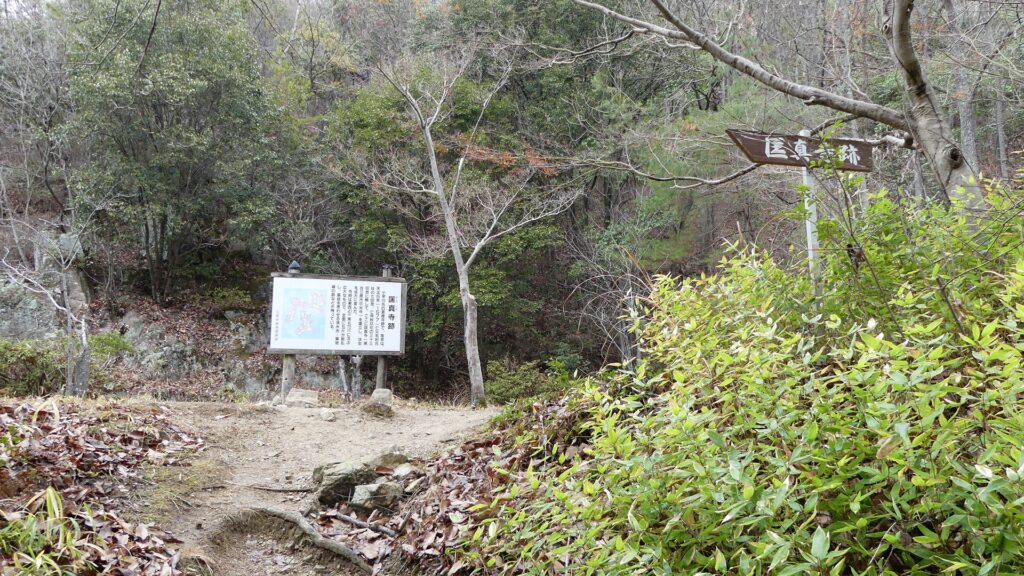
Today, the ruins of Nitakayama Castle have been well developed for visitors as a hiking course. The course is the same or similar to the original main route of the castle. If you go on a path from the entrance of the route, you will find the path going beside a ridge on the right.

Features

Defensive system using Natural Terrain

Today, the ruins of Nitakayama Castle have been well developed for visitors as a hiking course. The course is the same or similar to the original main route of the castle. If you go on a path from the entrance of the route, you will find the path going beside a ridge on the right. There is a shrine called Kojinsha on the ridge, but it was said to be a barbican enclosure to protect the route from enemies.

The map around the castle
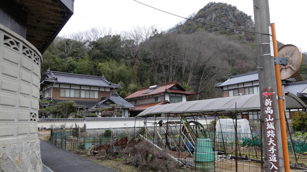
The entrance of the main route
The route goes beside the ridge on the right
The Kojinsha Shrine on the ridge

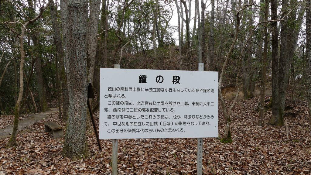
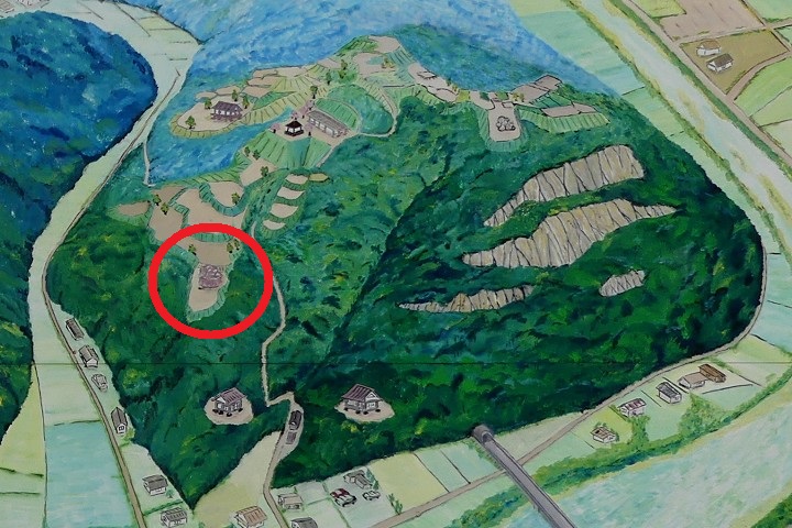
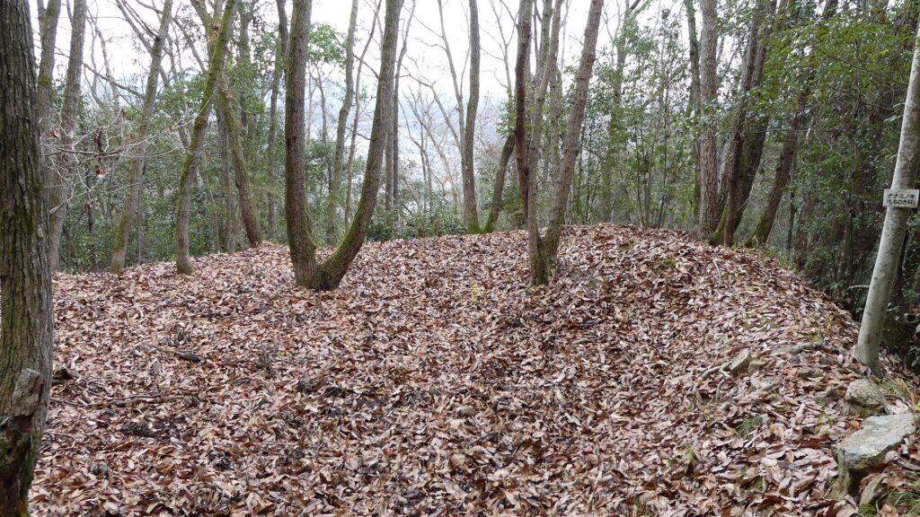
After you see a large direction board, you will continue to walk the route beside another ridge on the left. The ridge was used as Kane-no-dan (meaning the bell enclosure) to control the route. This enclosure was said to be one of the oldest parts in the castle, which might have been used as a branch of Takayama Castle, the former home of the Kobayakawa Clan.
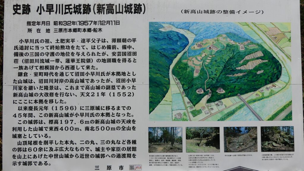
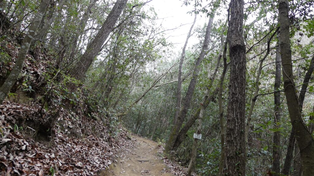
The direction board on the way
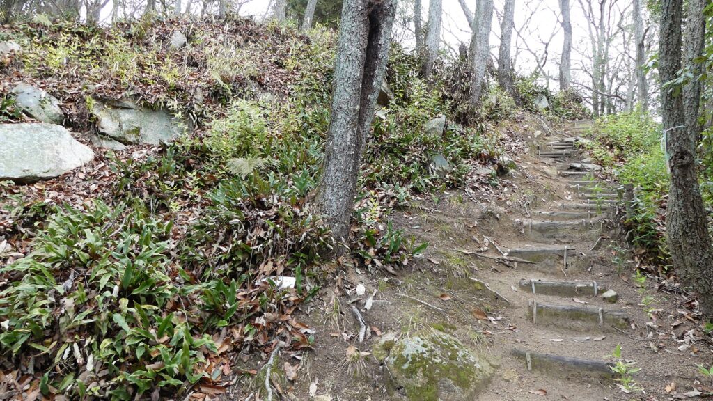
The bell enclosure is on the ridge on the left
The bell enclosure
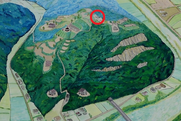
The bell enclosure on the location map in the direction board, marked by the red circle

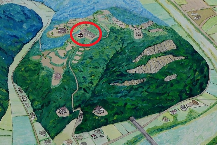
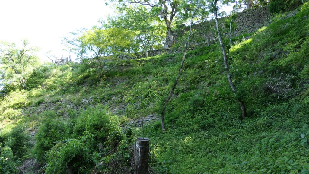
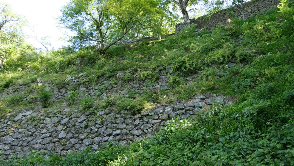
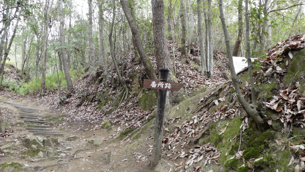
The route next goes on a bridge over a river on the valley, to another ridge. The bridge might have been destroyed when a battle happened. The route goes beside the three-tiered ridge on the right, which were protected by guard houses similar to barracks. As you saw so far, the route was built strongly by using only natural terrain.
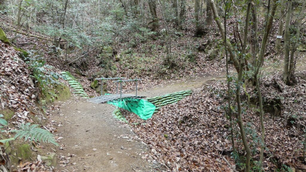
The road goes over the river on the valley
The ruins of the guard houses are on the right
The ruins of the guard houses
The guard house ruins on the location map in the direction board, marked by the red circle

Takakage Kobayakawa hosted his father there

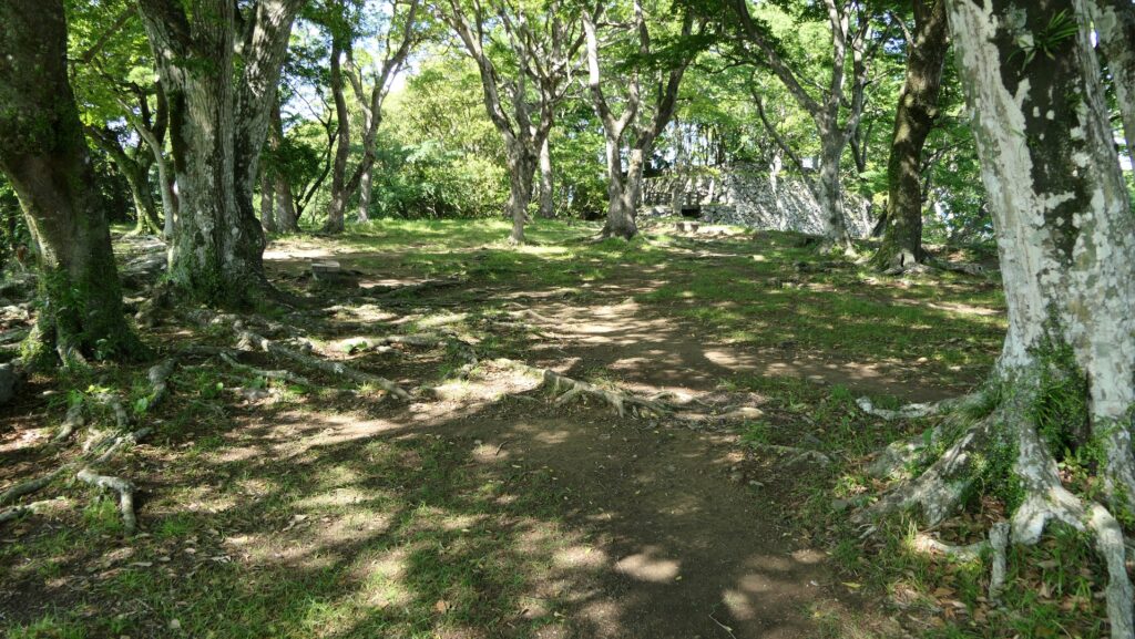
You will soon reach a spacious area on the middle of the mountain, called “Kyoshinji-Temple Ruins”. This temple was built in 1577 by Takakage Kobayakawa, the lord of the castle, to pray for the repose of his father, Motonari’s soul after his death. The temple was moved to another place near Mihara Castle after Nitakayama Castle was abandoned. You can still see lots of fragments of roof tiles and some remaining stones or rocks on the ground, which the temple left. In addition, the record of Motonari’s stay in this castle in 1561 says that there was a temple in the castle, where Takakage’s brother, Takamoto stayed in, and which had the same or similar name as the one mentioned above. Therefore, Historians speculate that there was also the Kaisho building, where their ceremonies were held, in this site at that time.
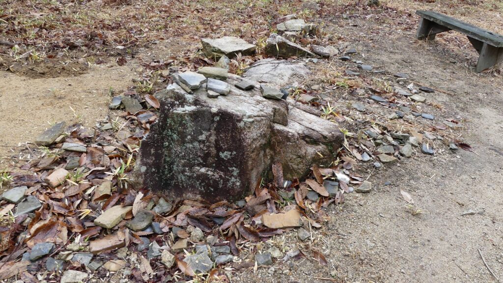
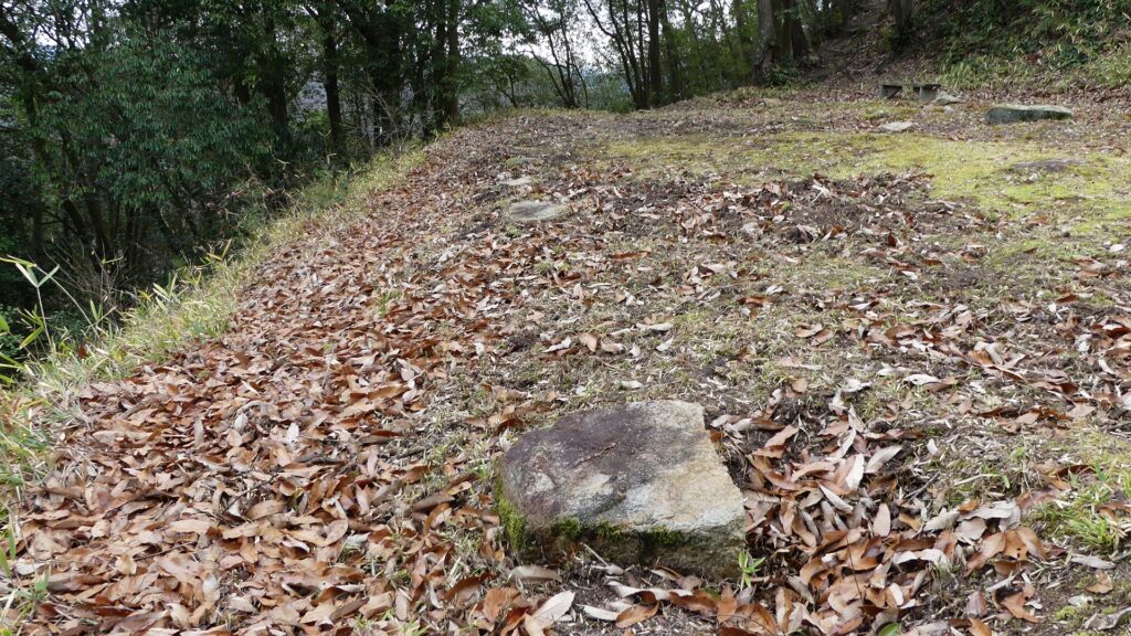
The ruins of Kyoshinji Temple
You can see lots of fragments of roof tiles
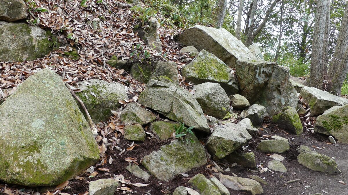
Some stones or rocks, used for the temple, remain
The Kyoshinji Temple Ruins on the location map in the direction board, marked by the red circle

You can go further to the top area of the castle via a zigzagged path. You will eventually be at Naka-no-maru (meaning the central enclosure) which is placed between the main enclosure on the right (or the east) and the western enclosure on the left (or the west). This enclosure seemed to have been a pivot point of the castle. The western enclosure was built to monitor and control another route to the castle from this direction. This route is gentler than the main route you used, so many artificial vertical moats were built on the slope to prevent enemies from invading the castle easily. However, you still need to hire a guide to see them clearly because the western area has still not been developed for general visitors.
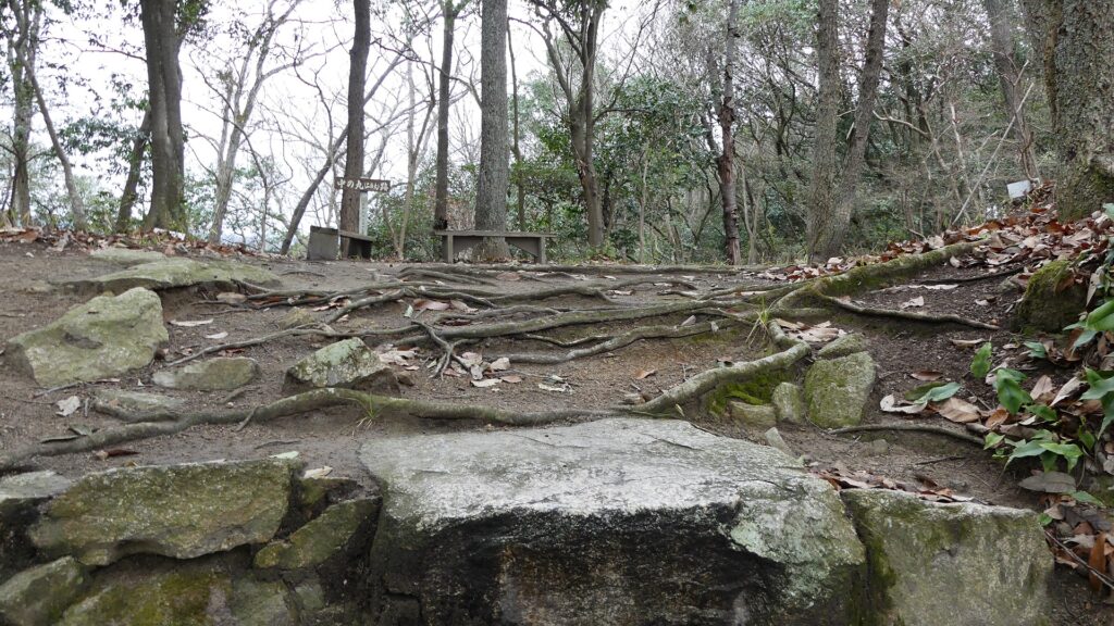
The central enclosure
The western enclosure
The central enclosure on the location map in the direction board, marked by the red circle

Main Enclosure with few remaining Stone Walls

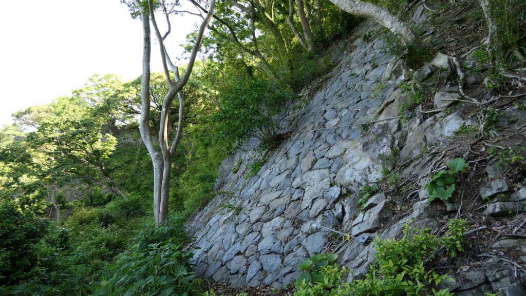
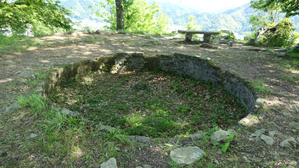
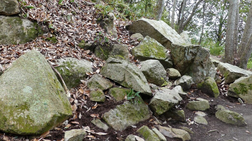
You will finally walk up to the main enclosure which was surrounded by stone walls using huge stones or rocks. Most of them were removed and brought to Mihara Castle when Nitakayama Castle was abandoned. However, you can still see a few remaining stone walls on its base, so you may imagine what the original stone walls looked like. The entrance of the enclosure has been built as a defensive square space, called Masugata, where the main gate building was also constructed. It was said that the building was moved to the current Koshinji Temple (now called Sokoji) as its gate. The inside of the main enclosure is an empty space, where only stone foundations remain at its corner. These foundations were probably used for the main hall or the pavilion where Takakage hosted his father.
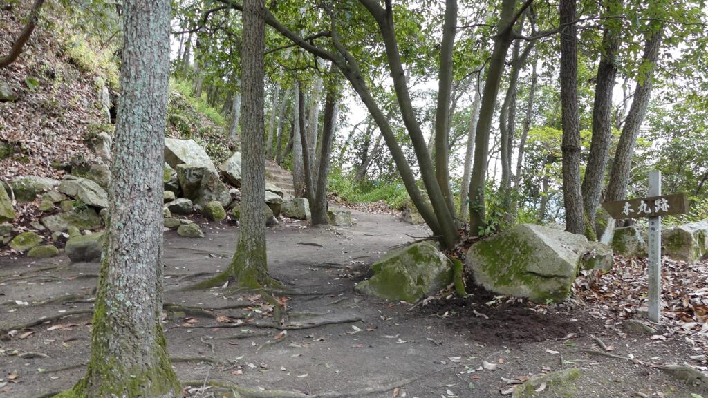
Going to the main enclosure
The few remaining stone walls on the base
Walking up to the entrance of the main enclosure
The entrance seen from the inside, the square shape of the entrance slightly remains
The stone foundations in the main enclosure

To be continued in “Nitakayama Castle Part3”
Back to “Nitakayama Castle Part1”

181.Kokura Castle Part1

The top floor of the Main Tower hanged out, which was called Western Style. This was because its balcony and handrails were covered by black outer walls to prevent damage from bad weather and strong wind.

Location and History

Castle is built as Bridgehead in Kyushu

Kokura Castle is located in the Kokura area of Kitakyushu City at the northern edge of the Kyushu Region. For example, if you visit the region using a Shinkansen super express, the first station will be Kokura Station near the castle. The area was more well known as the entrance of the region, which had Kokura Port facing the Kanmon Strait, sandwiched by Kyushu Island and the main island of Japan. That’s why warlords, who wanted to invade the region from the mainland, tried to build a bridgehead in this area. Certain records say that Motonari Mori, who was a great warlord of the Chugoku Region, built it in 1569, which would be the former Kokura Castle. After the ruler, Hideyoshi Toyotomi invaded the region in 1587, he gave the castle to his trusted vassal, Katsunobu Mori. However, Katsunobui was eventually fired because he was against Ieyasu Tokugawa, who would become the next ruler, in the decisive battle in 1600.

The range of Buzen Province and the location of the castle

Tadaoki Hosokawa renovates Castle

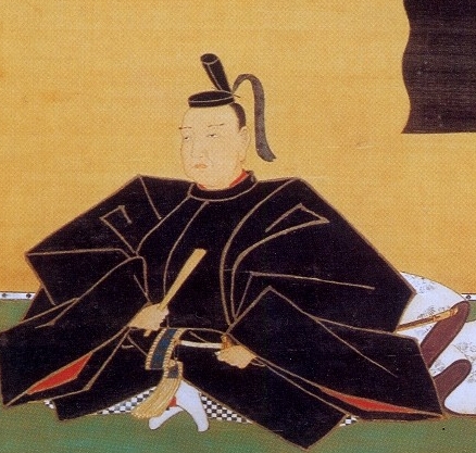
Instead, Tadaoki Hosokawa (also known as Sansai after his retirement), who had greatly supported Ieyasu in the battle, was assigned as the lord of Buzen Provence including the Kokura area and would be the founder of the Kokura Domain. He first lived in Nakatsu Castle, which the former lord of the castle, the Kuroda Clan had built, but soon started to renovate the castle in Kokura in 1602 as his new home, which would be what we call Kokura Castle.

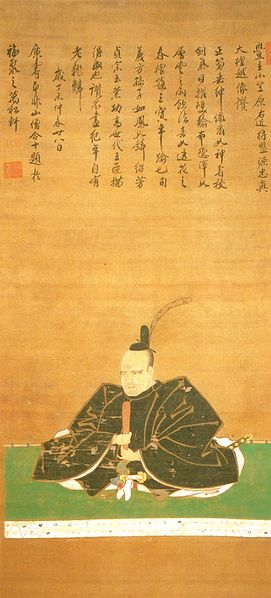
The portrait of Tadaoki Hosokawa, owned by Eisei Bunko Museum (licensed under Public Domain via Wikimedia Commons)
The current Nakatsu Castle Ruins

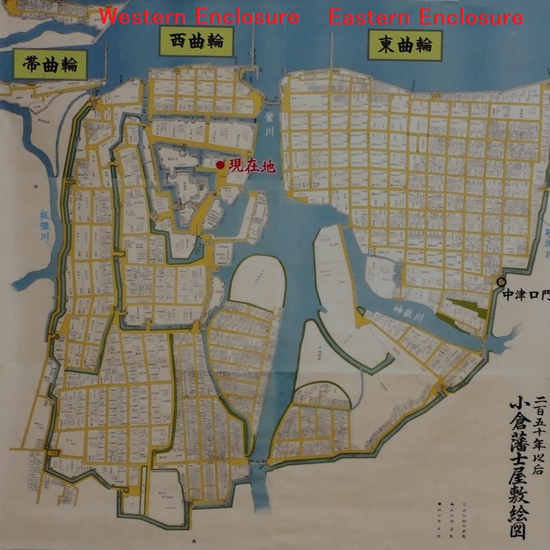
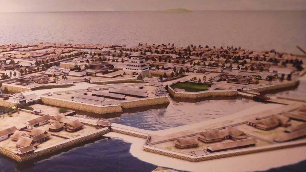
The former castle and the port was along the large estuary of Murasaki River, like a bay, when Tadaoki greatly developed the area. The area was broadly separated into the Western and Eastern Enclosures, binding the river. The Western Enclosure was also divided by water moats into smaller sub enclosures, such as the Main Enclosure, for the lord and warriors. The Eastern Enclosure became the castle town for people like merchants, craftsmen and monks. Furthermore, the whole area was surrounded by other natural or artificial rivers as the outermost moat whose perimeter was about 8km. Tadaoki thought if a large enemy force attacked the castle, he would flood the enemy by breaking the banks of the rivers.

the whole Kokura Castle drawn in “the illustration of Kokura Samurai residences”, from the signboard at the site, adding the English comments
Sunatsu River, the western part of the outermost moat

Characteristic Main Tower

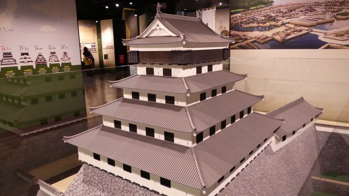
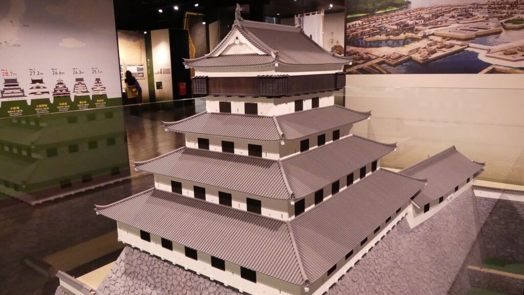
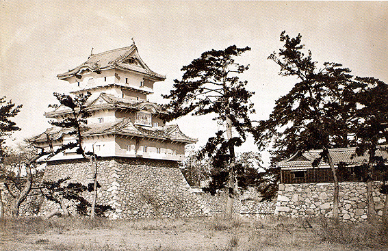
The main portion of the castle was surrounded by high stone walls. In particular, the stone wall base for the Main Tower was built at the northeastern corner of the Main Enclosure and was 18.8m high. The Main Tower itself was 22.8m high, so 41.6m in total. The tower had 4 levels and 5 floors inside because they were no roofs between the fourth and fifth floors. Also, the existing roofs were very simple without any decorations except for the top. It is a method called Soto-siki (meaning multi-storied type). This method made the builders efficient and made the tower easier to protect. The defenders would actually look out over the surronding area and counterattack the enemies at any direction from the tower. In addition, the tower had one more feature called Nanban-zukuri (meaning Western Style) or Kara-zukuri (the Chinese Style). It refers to some of the levels or floors hanging out over the other levels of the tower. In the case of Kokura Castle, it was the top floor because its balcony and handrails were covered by black outer walls to prevent damage from bad weather and strong wind. This Kokura style would be later emulated by other castles like Tsuyama and Takamatsu Castles.

The restored image by CG of the main portion of Kokura Castle, exhibited by Kokura Castle Tower
The miniature model of the original Main Tower of Kokura Castle, exhibited by Kokura Castle Tower
The old photo of Tsuyama Castle including its Main Tower, in the early Meiji Period, taken by Kunitada Matsudaira (licensed under Public Domain via Wikimedia Commons)
The old photo of the Main Tower of Takamatsu Castle

Prosperity and Destruction of Ogasawara Clan

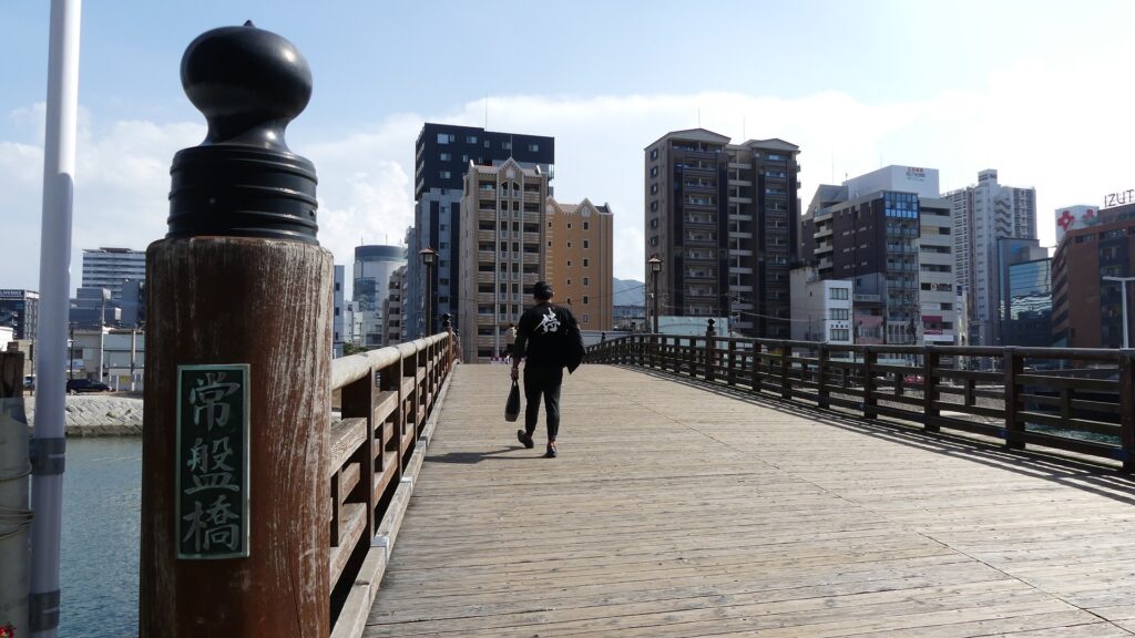
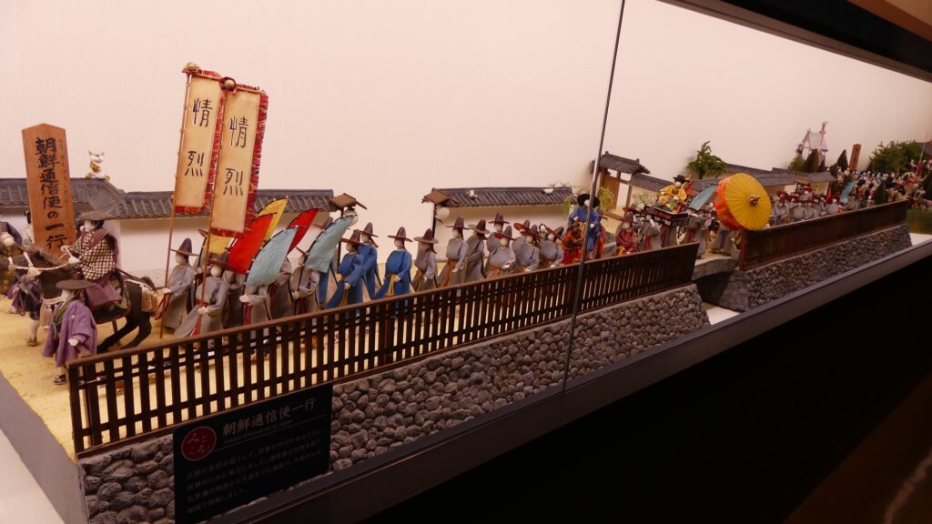
The castle and the domain were followed by Tadazame Ogasawara Ogasawara in 1632 after the Hosokawa Clan was transferred to Kumamoto Castle of the Kumamoto Domain. The Ogasawara Clan was a hereditary feudal lord family of the Tokugawa Shogunate, so it was expected to monitor non-hereditary feudal domains in the Kyushu Region. While the government of the Kokura Domain became stable, its castle town commercially prospered, especially around Tokiwa Bridge which connected the Western and Eastern Enclosures over the Murasaki River. The bridge was also the starting point of the Nagasaki Road where many passengers came and went between the main land and the region. the lords in the region and the Korean Envoys also used the road when they went to Edo.

The portrait of Tadazane Ogasawara, owned by Fukuju-ji Temple (licensed under Public Domain via Wikimedia Commons)
The diorama of the town around Tokiwa Bridge, exhibited by Kokura Castle Tower
The current Tokiwa Bridge, it was restored using wooden materials
The figures of the Korean Envoys, exhibited by Kokura Castle Tower

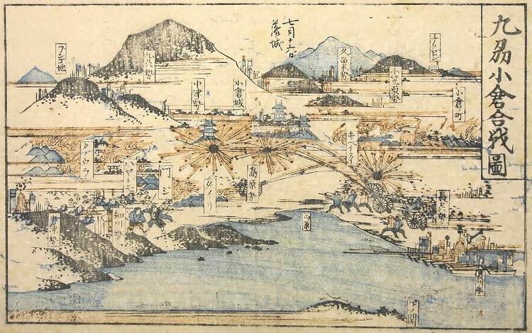
Meanwhile, a bad sign for the castle occurred in 1837. The Main Tower was unfortunately burned down by an accidental fire though it had survived through some lightning strikes. The tower was not rebuilt by the domain after that. Next, a severe event happened to the castle at the end of the Edo Period. The Choshu Domain at the edge of the mainland over the Kanmon Strait rebelled against the shogunate twice. The Second Conquest of Choshu was planned by the shogunate in 1866. The shogunate ordered the Kokura Domain and its allies to attack the Choshu through the Kokura Route, one of the four battlefields.

A Kawaraban newspaper called the scenes of the Battle of Kokura in Kyushu, exhibited by Cultural Heritage Online

The battles on the Kokura Route started in June. Against all odds, the Choshu troops landed on the Kokura area and counterattacked the shogunate side instead. Moreover, all the allies withdrew after they heard about the death of the shogun, Iemochi Tokugawa, by illness on the 20th of July. The Kokura troops, which were left alone, finally fired at the castle by themselves on the 1st of Aug and continued to fight against the Choshu like a guerrilla army. However, the fall of the castle and the Choshu capturing it became a symbol of the shogunate’s big failure in the battles which would accelerate its destruction and the Meiji Restoration by the New Government including the Choshu Domain.

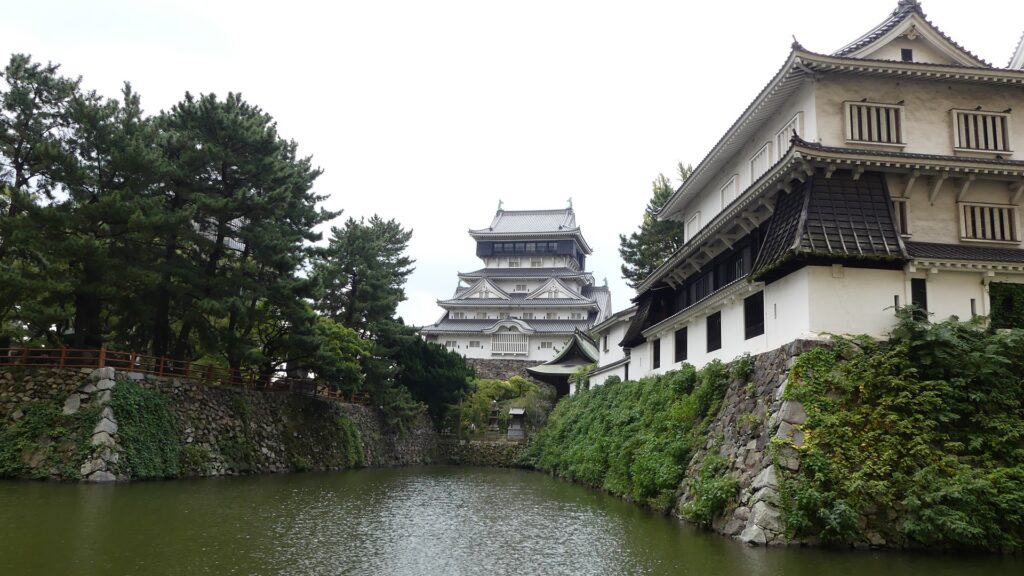
The current Kokura Castle

To be continued in “Kokura Castle Part2”

194.Saiki Castle Part3

People can climb Saiki Castle Ruins on the mountain any day, because the ruins are near the city area.

Features

Northen Enclosure and Two Reservoirs

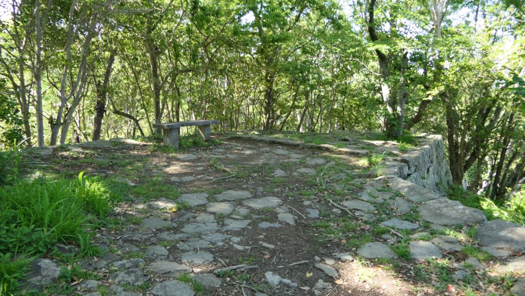
Let us visit the Northern Enclosure on the northern ridge of the mountain, which spreads from the Main Enclosure as well. Its top area is also surrounded by low stone walls being lined up neatly. It is separated from the Main Enclosure by an altered gate with stone walls and has the exit to the Back Route (also called Wakamiya Route) nearby.

The mountain part of the castle

The long Northen Enclosure on the northern ridge
The edge of the Northen Enclosure
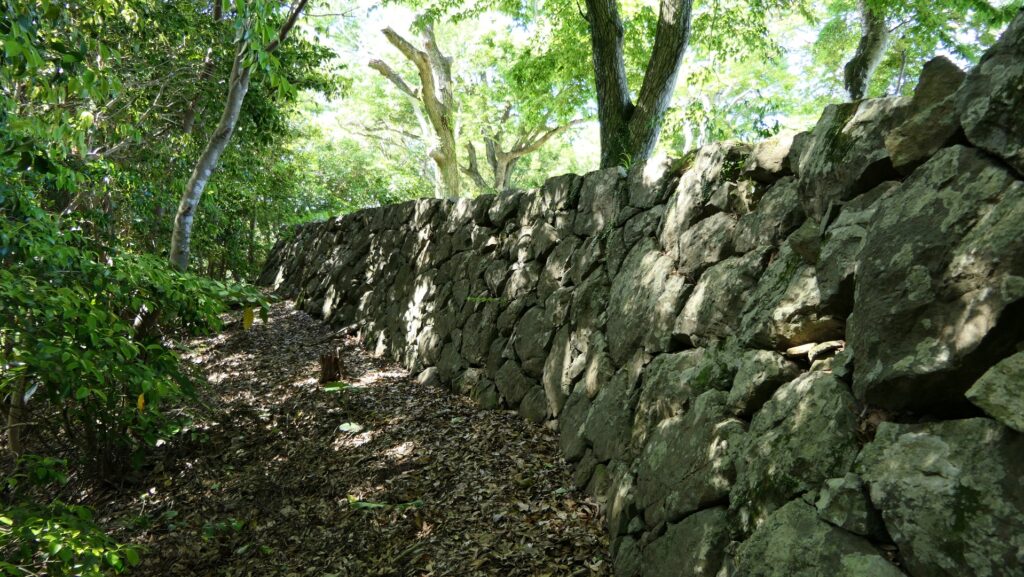
The stone walls surrounding the top of the Northern Enclosure

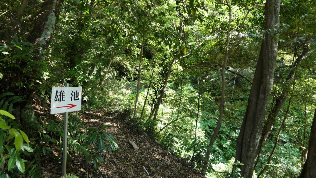
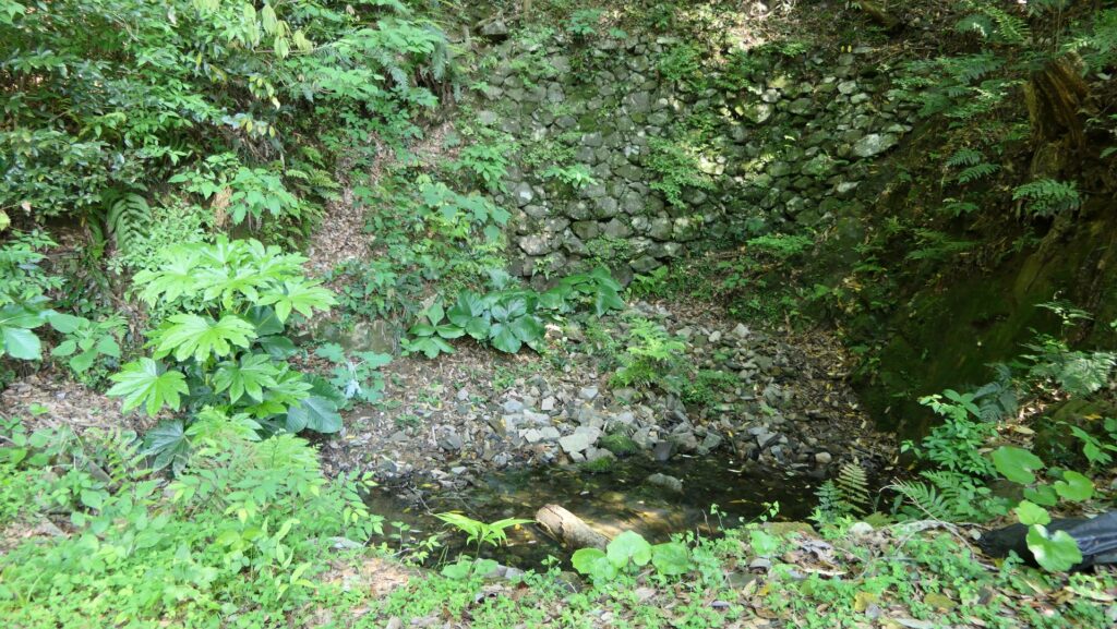
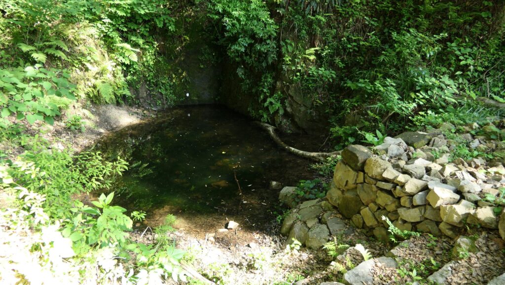
If you get out of the exit and climb down the trail on the route, you will eventually reach the two major reservoirs on the back valley, the upper Male Pond and the lower Female Pond. They are also surrounded by stone walls, which were probably considered the lifeline of the castle.

The exit to the back gate
Climbing down to the Male Pond
The Male Pond
The Female Pond

If you go up the trail a little, you can walk around the mid slope of the northern ridge where you can see some base stone walls beside the trail. The Northern Enclosure is supported by both of the stone walls around the top and the base. As you walk around, you will also see the great four-tiered stone walls supporting the Main Enclosure, which were recently discovered in 2009.

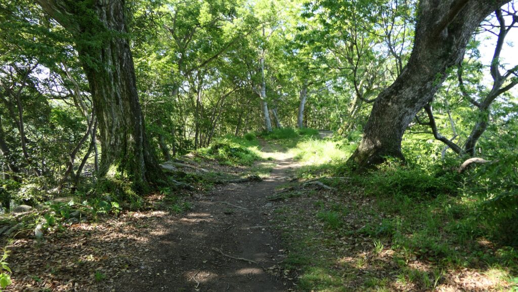
The path around the mid slope of the northern ridge
The stone walls supporting the base of the northern ridge
Getting close to the Main Enclosure
The great four-tiered stone walls

Defensive spot of Castle

There is also the Western Enclosure on the western ridge, which is next to the Second Enclosure, opposite the Main Enclosure. It is separated from the Second Enclosure by a narrow gate with stone walls and has the end point of the Suimei Route from the foot of the mountain. This was the defensive spot of the castle’s western side which is another viewing spot of the city area. You can also see round-shaped stone foundations there, which do not belong to the castle, but are the ruins of an anti-aircraft gun position during WWII.

The inside of the Second Enclosure
The gate between the Second and Western Enclosures
The turret ruins at the Western Enclosure
A view from the Western Enclosure
The ruins of the anti-aircraft gun position

Remaining Main Hall Gate

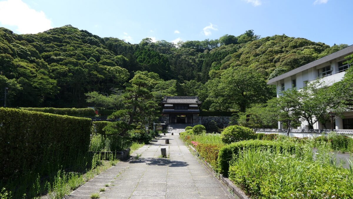
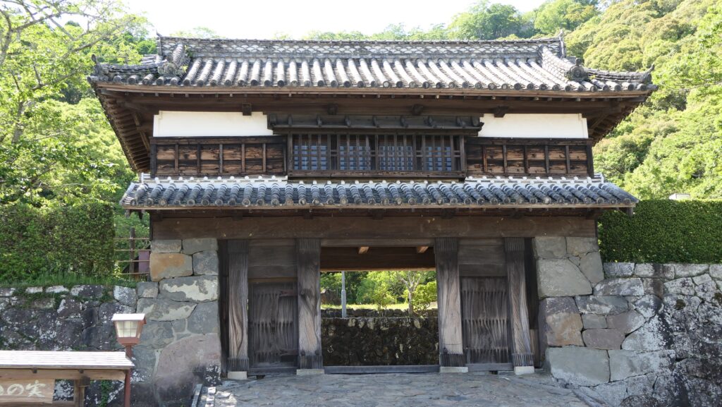
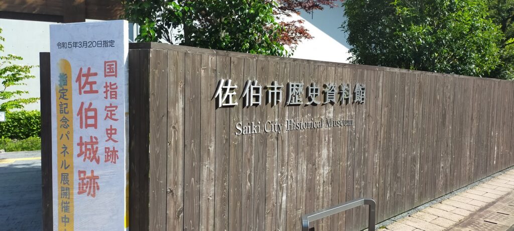
The bottom part has the Third Enclosure Turret Gate, the only remaining building of the castle. This gate was the one for the Main Hall for the lord in the enclosure. The inside of it behind the gate is an empty space now. Saiki City Historical Museum is another attraction of the castle where you can learn about the history of the castle and city, including Takamasa Mori, the founder of the castle. You can also enjoy a view of the mountain with great stone walls on the top, from the front of the museum.

The map around the castle

The remaining Third Enclosure Turret Gate
The inside of the Third Enclosure is empty
The entrance of Saiki City Historical Museum
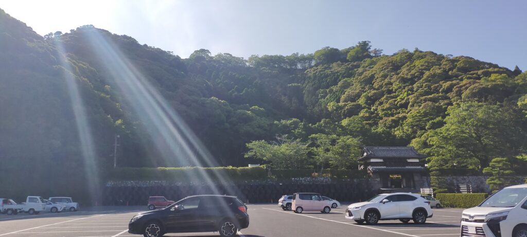
A view of the castle ruins from the front of the museum

Later History

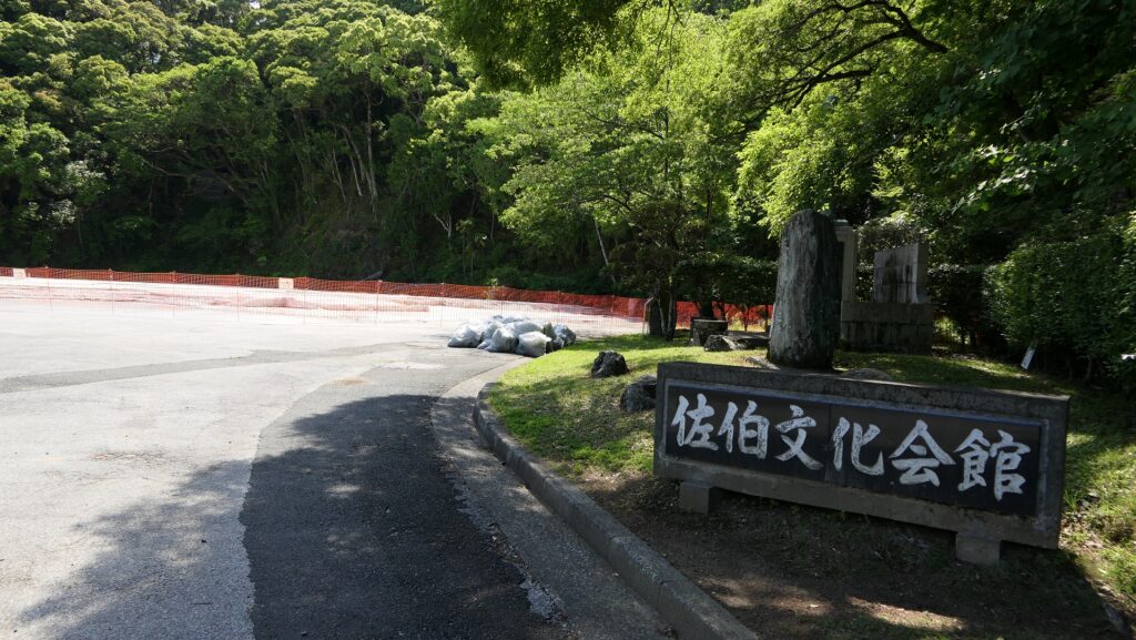
After the Meiji Restoration, Saiki Castle was abandoned and all the buildings on the mountain were demolished. The mountain part was eventually used as a park and Mori Shrine. Saiki City started to excavate the mountain in 2009. The excavation team found that the castle was a newly built mountain castle in the Edo Period which was very rare in Japan. As a result, the castle ruins on the mountain were just designated as a National Historic Site in 2022. The bottom part had part of the Main Hall with its gate as an official building or a school for a long time, however the final remaining entrance of the hall was move to another place in 1969 for the construction of the Saiki Cultural Hall. The only remaining gate has been designated as a tangible cultural property of the city.

The photo of the entrance of the hall before being moved, exhibited by Saiki City Historical Museum

My Impression

I think people in Saiki City are proud of their home town and its history. For example, in their daily life, if they have time and the weather is not bad, they can climb Saiki Castle Ruins on the mountain any day, because the ruins are near the city area. As a result, they can enjoy beautiful scenery, get good health, and learn their local history. I wish I could live in an area like Saiki City.

A full view of the castle ruins (the mountain and foot)

How to get There

If you want to visit the castle ruins by car, it is about a 15 minute drive away from Saiki IC on the Higashi-Kyushu Expressway. There is a parking lot for visitors in front of the castle ruins.
If you want to use public transportation, you can take the Oita bus from JR Saiki Station and get off at the Ote-mae bus stop. It takes a few minutes on foot to get there.
For visitors from Tokyo or Osaka: Take the express bus to Oita Station from Oita Airport after using a plane, and get the train on the Nippo Line from the station.

That’s all. Thank you.
Back to “Saiki Castle Part1”
Back to “Saiki Castle Part2”