特徴、見どころ
イントロダクション(江戸開城の影の功労者・山岡鉄舟)
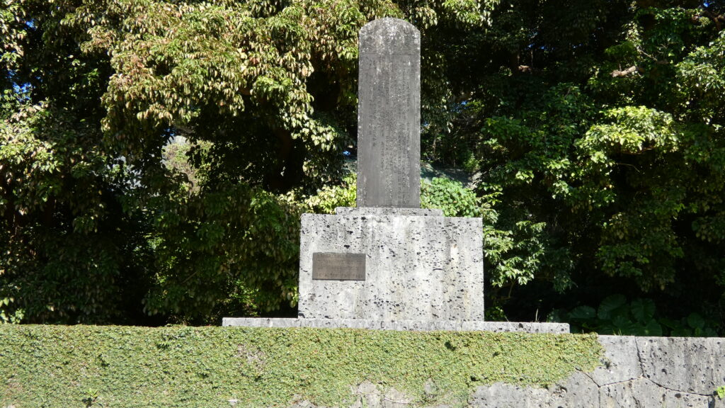
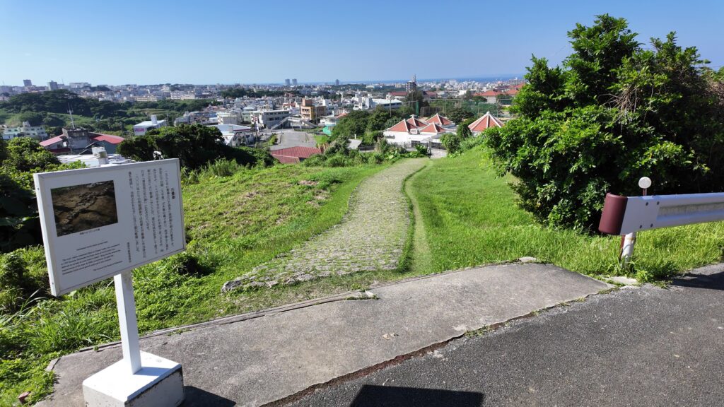
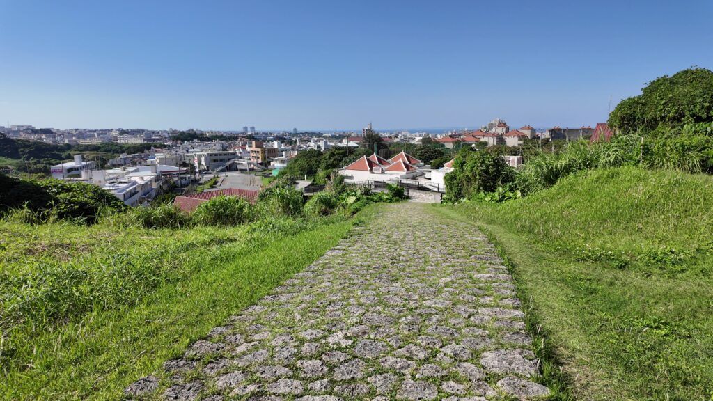
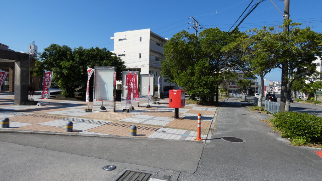
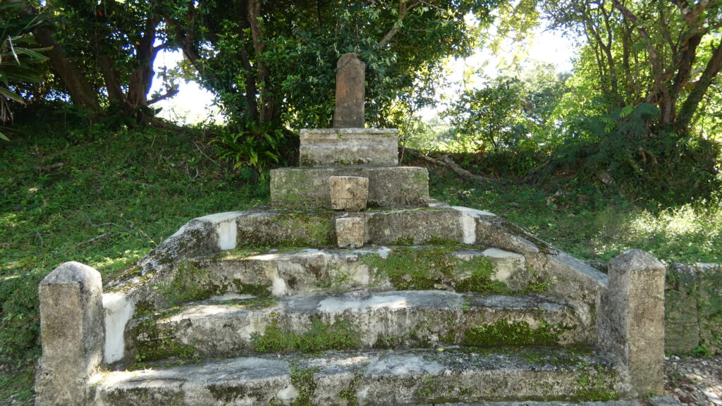
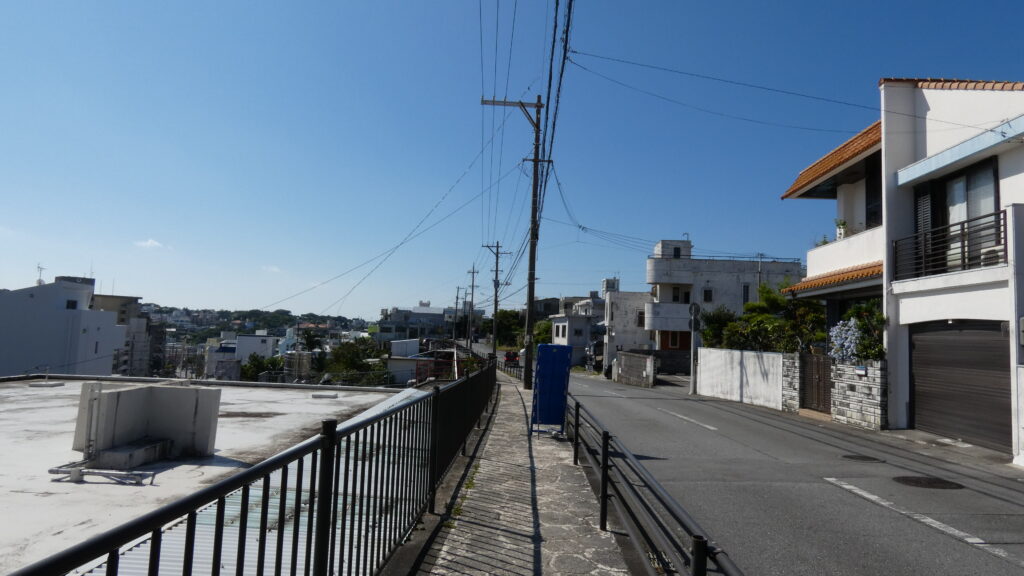
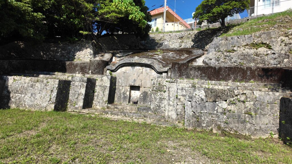
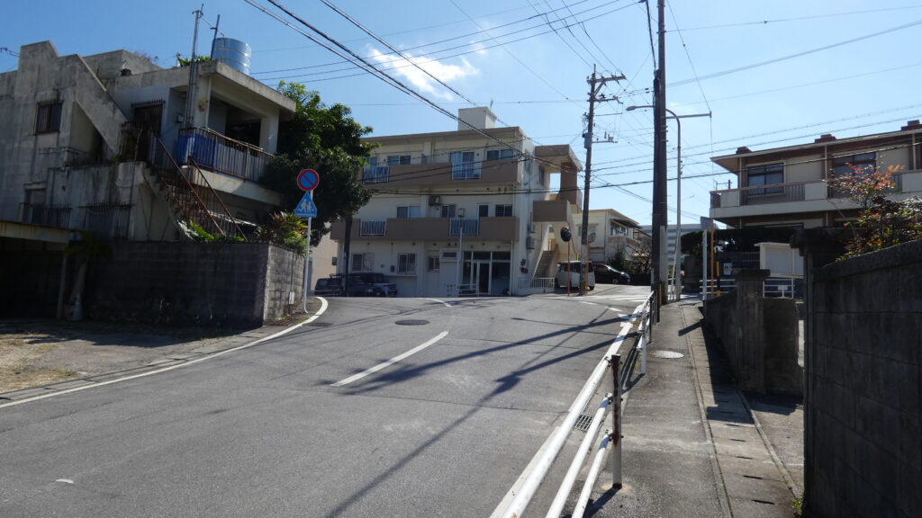
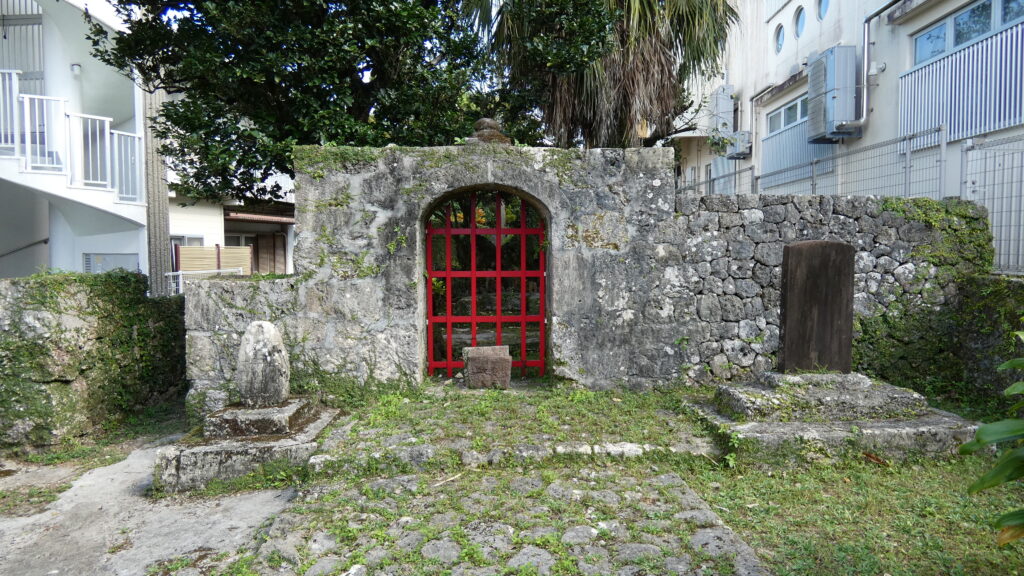
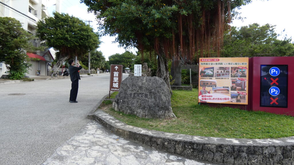
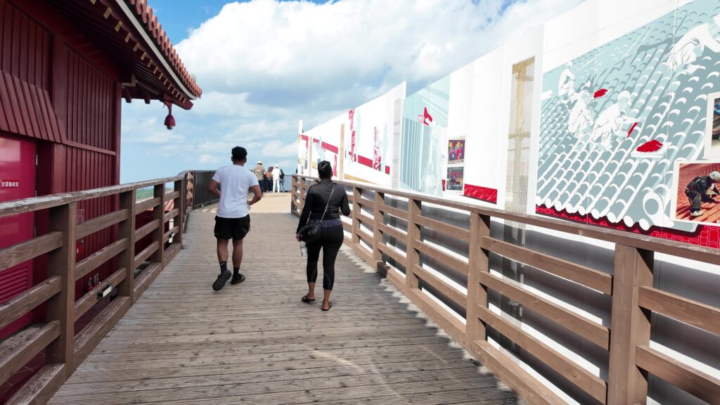
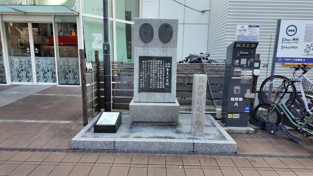
駿府城の現地案内のスタート地点として「西郷・山岡会見の史跡碑」を選びました。江戸開城が決まった勝・西郷会見は有名ですが、実はそれに先立つ駿府での西郷隆盛と山岡鉄舟の会見も、江戸開城につながる重要な歴史イベントだったのです。
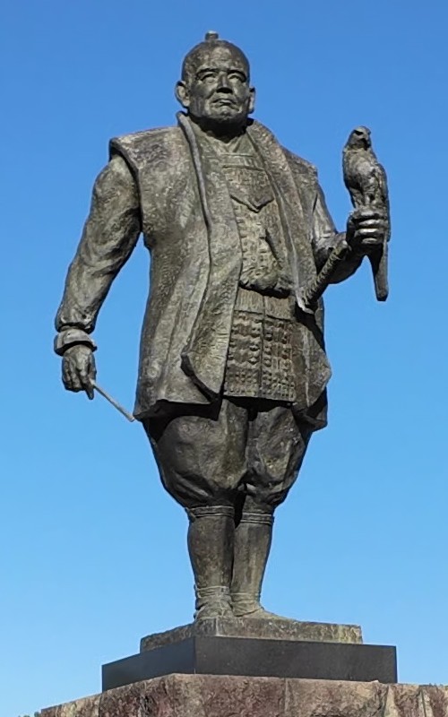
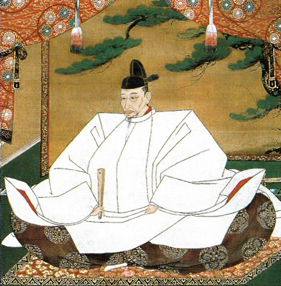
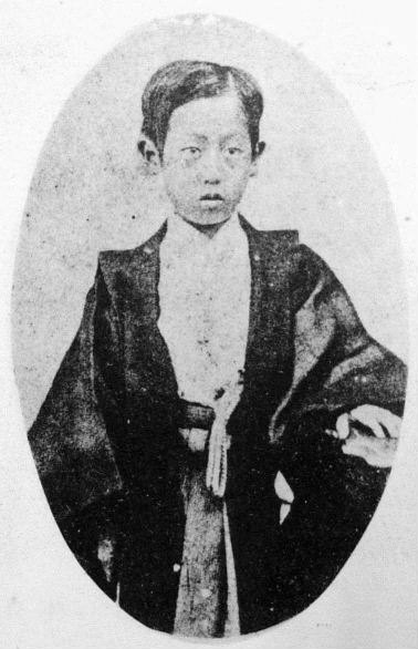
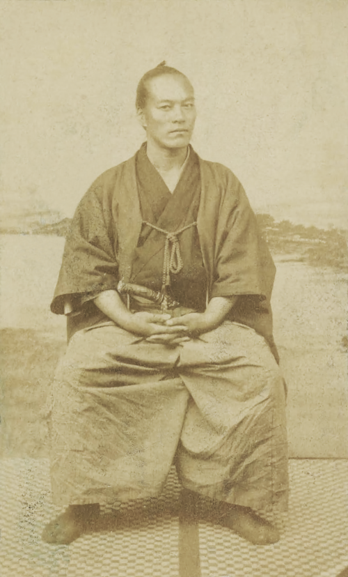
山岡鉄舟(生年:1838年~没年:1888年)は、幕府旗本で剣の達人でもありました。鳥羽・伏見の戦いの後、江戸に戻っていた徳川慶喜の警護役を務めていました。慶喜は恭順の意を示していましたが、新政府軍は慶喜を討伐する方針でした。そこで慶喜は、近臣の高橋泥舟の推薦する鉄舟を、改めて恭順の意を伝える使者として抜擢しました。鉄舟は初対面の主君に対し「謹慎しているのは偽りではないか」と問いただしました。真実であると確認すると、この使命に命をかける覚悟をしました(下記補足1)。
(補足1)わたしは旧主(慶喜)に「今日の切迫した時勢において、恭順をお示しになるのはどのようなお考えによるものなのか」と問うた。旧主は、「自分は朝廷に対して公正無二の赤心をもって謹慎しているといえども、朝敵として征討の命が下った上は、とても生命を全うすることはかなうまい。これほどまでに衆人に憎まれてしまったことは、返す返すも嘆かわしいことである」と言って涙をこばされる。わたしが旧主に「何をそんな弱気でつまらぬことを言われるのか。謹慎しているというのは偽りではないのか。何かほかにたくらんでいることがおありではないのか」と言うと、旧主は「自分にふたごころはない。どんなことであっても朝廷の命令に対しては背かない無二の赤心があるだけである」と言われるので、わたしは次のように断言した。「真の誠意をもっての謹慎であられるならば、朝廷にしっかりと届かせて、御疑念を氷解していただくのは当然のことです。鐵太郎が、そこのところは確かにお引き受けし、必ずや赤心が届くように力を尽くします。鐵太郎が目の黒いうちは、決して御心配には及びません」と。(山岡鉄舟「慶應戊辰三月駿府大總督府ニ於テ西郷隆盛氏ト談判筆記」の現代語訳、「最後のサムライ 山岡鐵舟」より)
鉄舟は、勝海舟から付けられた薩摩藩士とともに敵地となった駿府に乗り込み、西郷と会見したのです。西郷は鉄舟を確かな人物と見込み、和議の5条件を提示しました(山岡鉄舟本人の手記による)。
1.城を明け渡すこと
2.城中の人数を向島に移すこと
3.兵器を渡すこと
4.軍艦を渡すこと
5.徳川慶喜を備前へ預けること
鉄舟は、最後の慶喜を他藩に預ける条件だけは承服できませんでした。「朝命である」とすごむ西郷に対し、鉄舟はもし逆の立場だったら主君を差し出すのかと反駁し、撤回させたのです(下記補足2)。このやり取りがベースになり、勝・西郷会見と江戸開城が実現したのです。西郷が江戸に乗り込んだときには、鉄舟は西郷の警護役になりました。
(補足2)「主人の慶喜一人を備前へ預けること、これは決してなすべきではありません。というのも、そうなった場合には徳川に恩顧を受けた家臣たちが決して承知をしないからです。つまり、合戦が起こり、いたずらに数万の生命が失われます。これは天子の軍隊のすることではありません。そうなってしまっては先生は単なる人殺しでしかありません。(略)」と答えると、西郷氏は「朝命です」と言う。わたしはきっぱりと、「たとえ朝命であっても、わたしとしては、決して承知するわけにはいきません」と言う。西郷氏は語気を強めて、再び「朝命です」と繰り返す。わたしは、「ならば先生とわたしとその立場を入れ替えて少し考えてみましょう。先生の主人である島津公が、もし間違って朝敵の汚名を着せられながらも、官軍が征討に向かう日には恭順謹慎しており、しかも先生がわたしと同様の任にあって主家のために尽力している時に、主人の慶喜に対するがごとき処置の命令が朝廷から下ったら、先生はその命令を謹んでお受けになり、さっさと主君を差し出して安閑としていることを、君臣の情、先生の義というものからみてどうお考えでしょうか。このことは、轍太郎には決して忍ぶことのできないことです」と激しく論じる。西郷氏はしばらく黙然としていたが、口を開くと、「先生の説はもっともなことです。徳川慶喜殿のことについては、この吉之助が確かに引き受け、取り計らいます。先生にはご心痛には及びません」と約した。(同上)
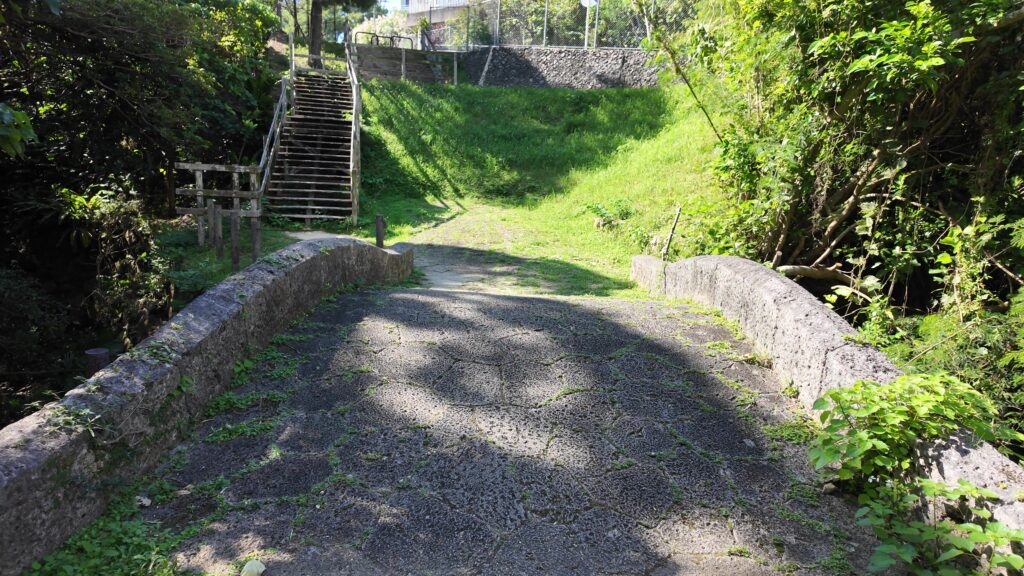
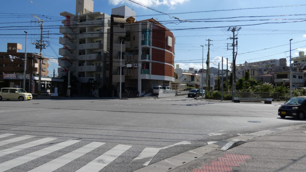
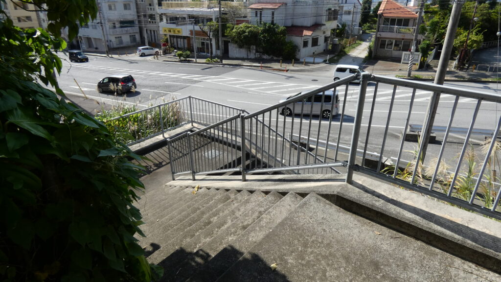
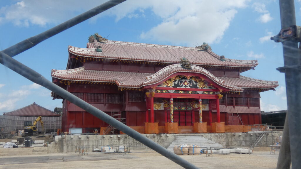
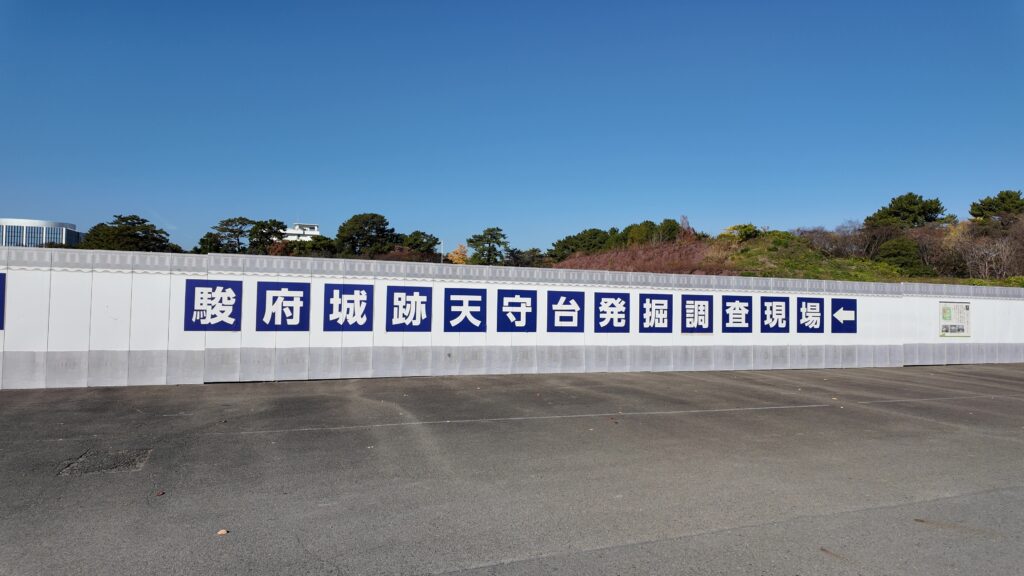
この史跡碑は旧東海道沿いにあるので、ここから駿府城に向かい、大手門跡に入っていきます。それから、復元された東御門・巽櫓を見学して、いよいよ話題の天守台発掘現場に向かいます(発掘現場は2025年12月で一旦公開終了、今回内容はそれ以前に訪問したもの)。その後は復元された坤櫓などを回ってみます。
今回の内容を趣向を変えて、Youtube にも投稿しています。よろしかったらご覧ください。
特徴、見どころ
東海道から駿府城入城
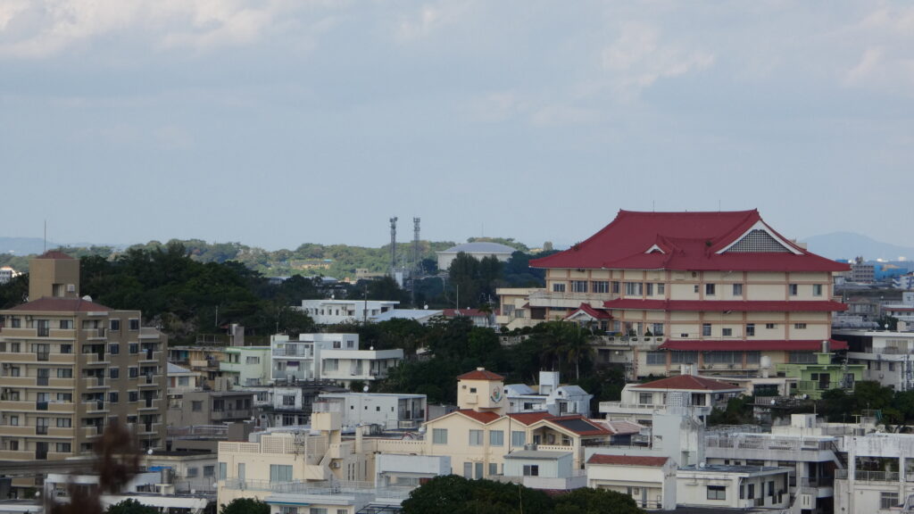
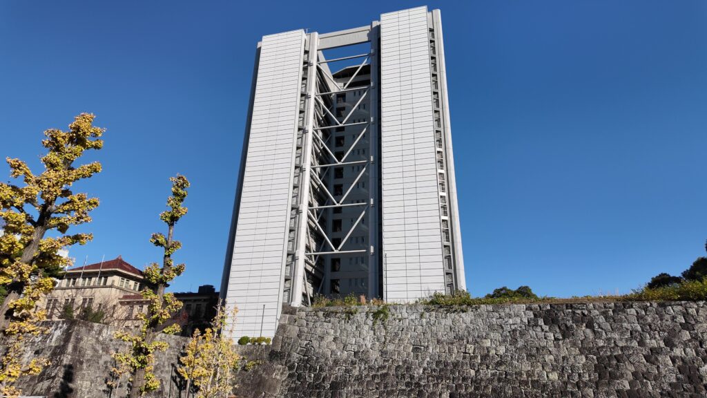
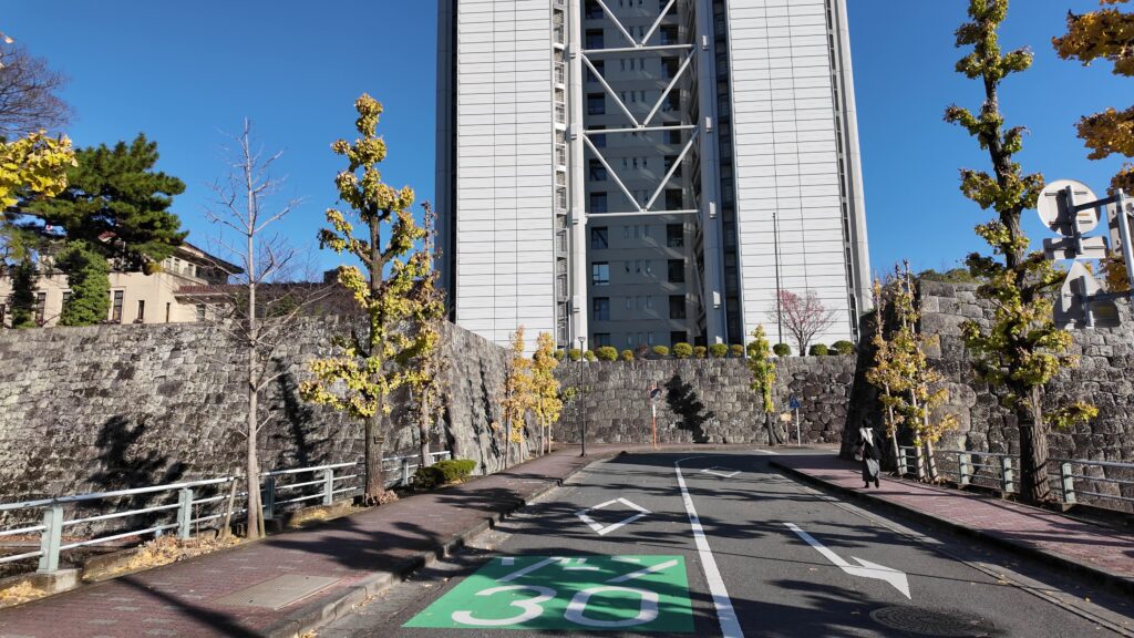
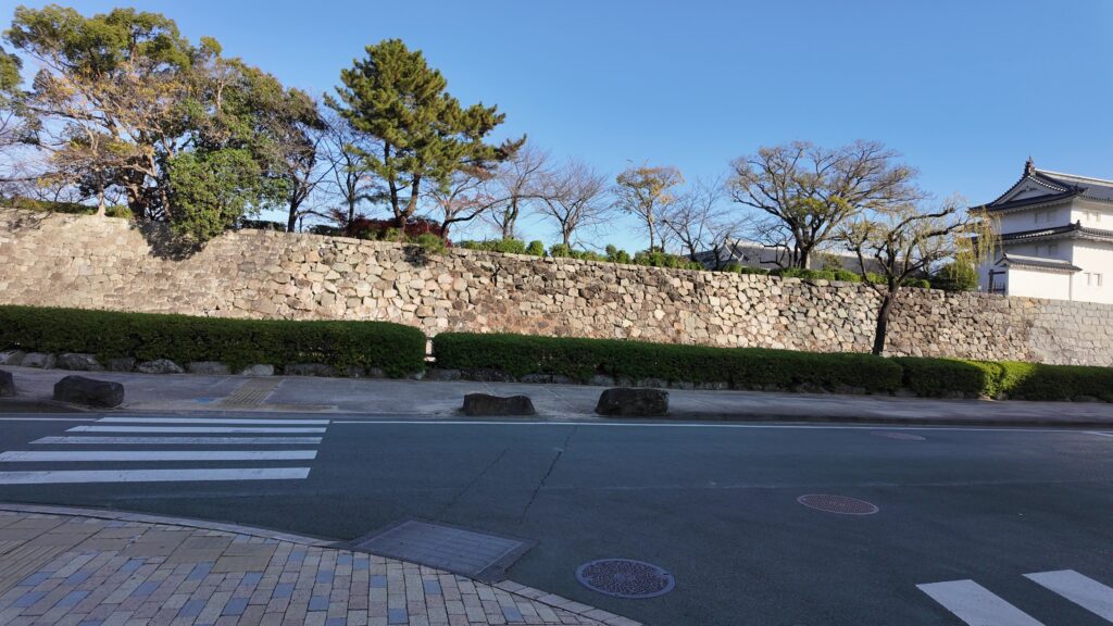
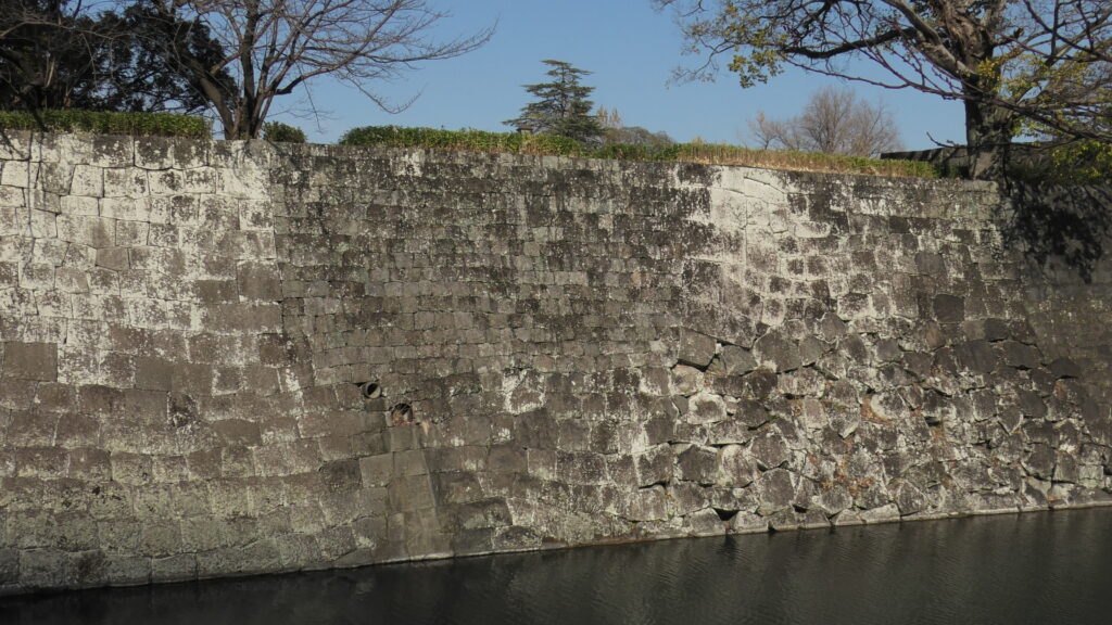
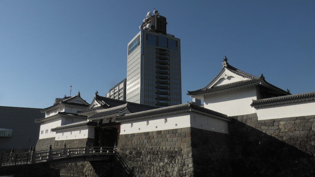
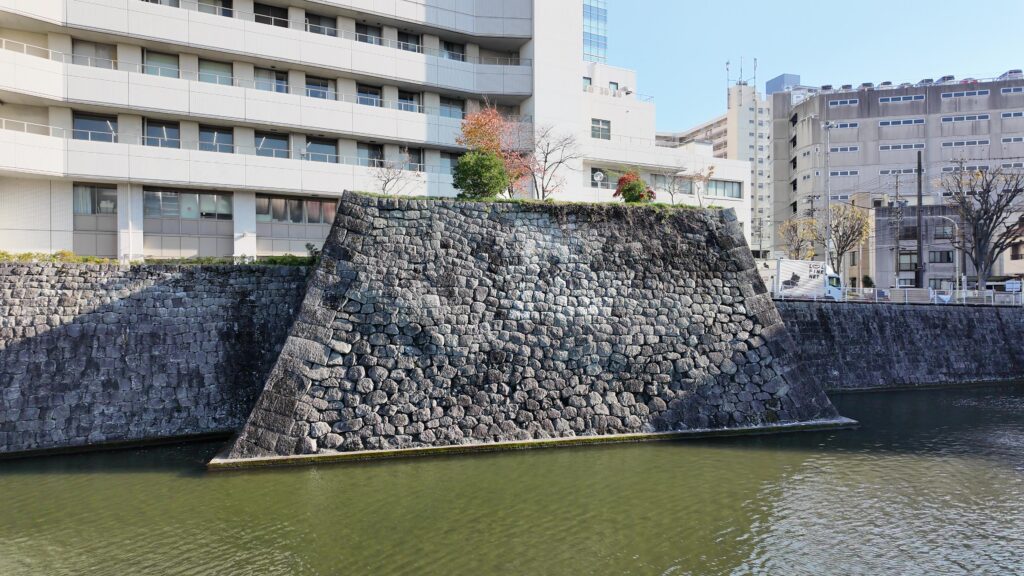
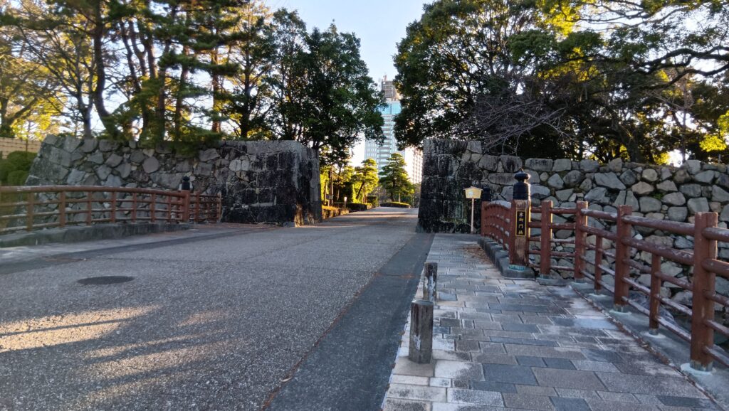
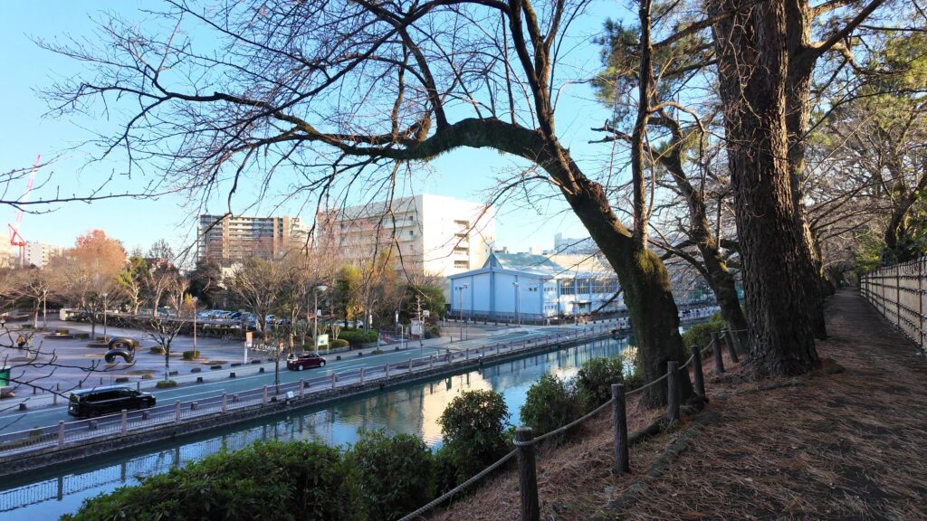
それでは、史跡から東海道を駿府城に向かいましょう。でも実は、東海道とはすぐお別れなのです。東海道と反対側の三の外堀(外堀)に行きます。全部ではありませんが、残っているのです。堀沿いを歩いていくと、城に行くのに便利な城代橋があるのですが、今回はオリジナルの登城ルートをたどってみようと思います。すごい石垣が張り出しています。この先が、大手御門跡になります。大手門の周りだけあって、堂々としています。背後にそびえるのは静岡県庁舎別館です。現代の天守のようです。
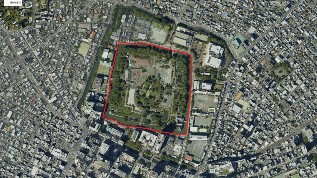
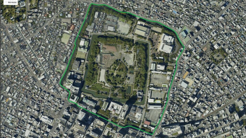
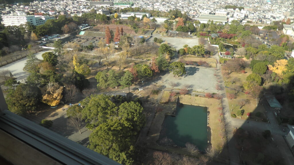
城周辺の航空写真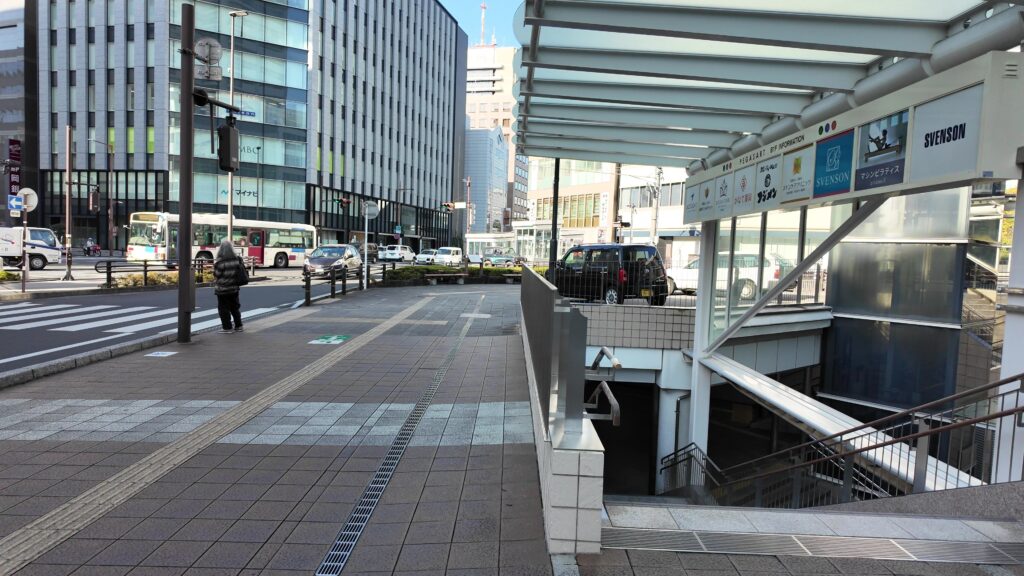
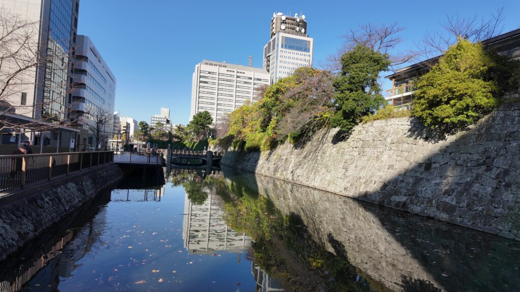
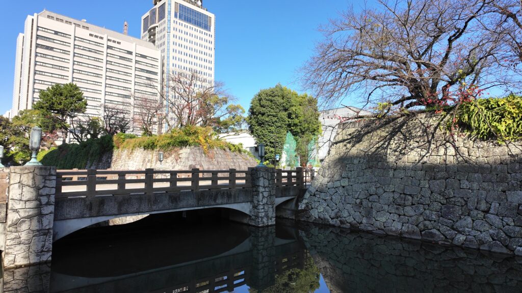
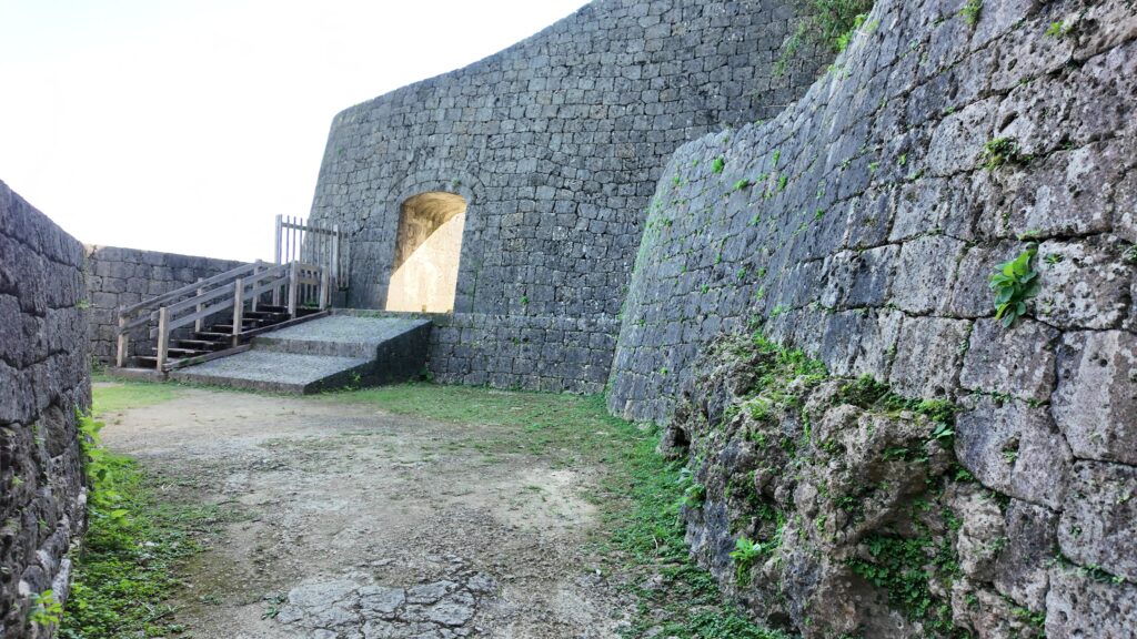
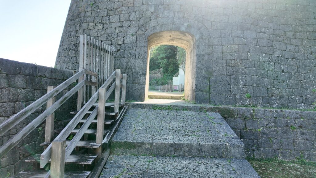
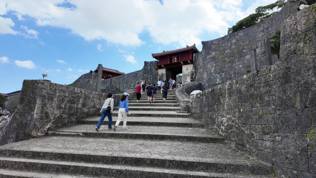
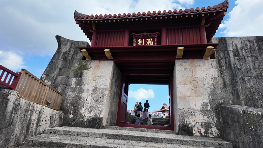
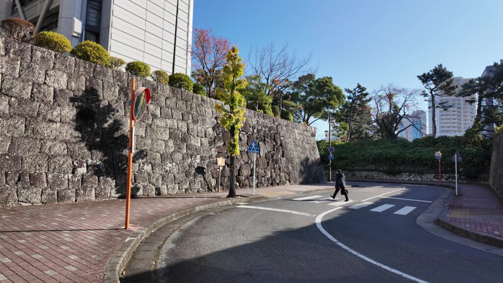
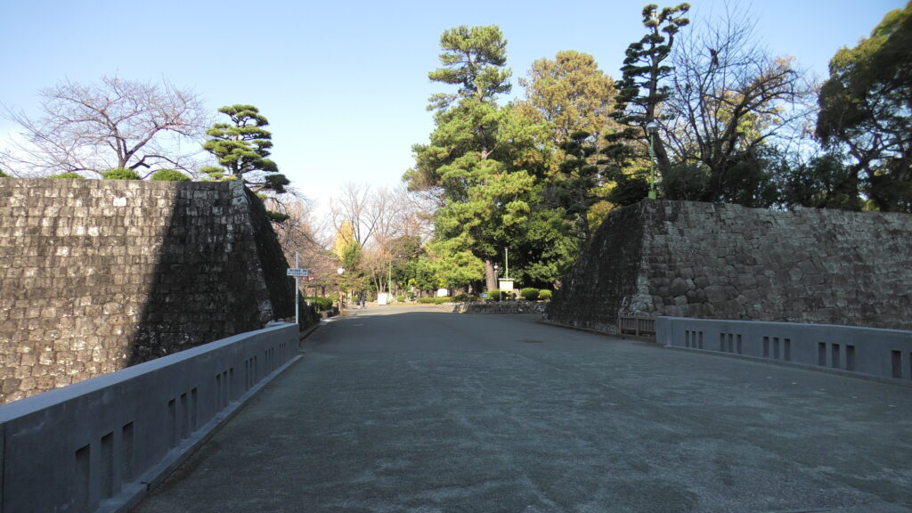
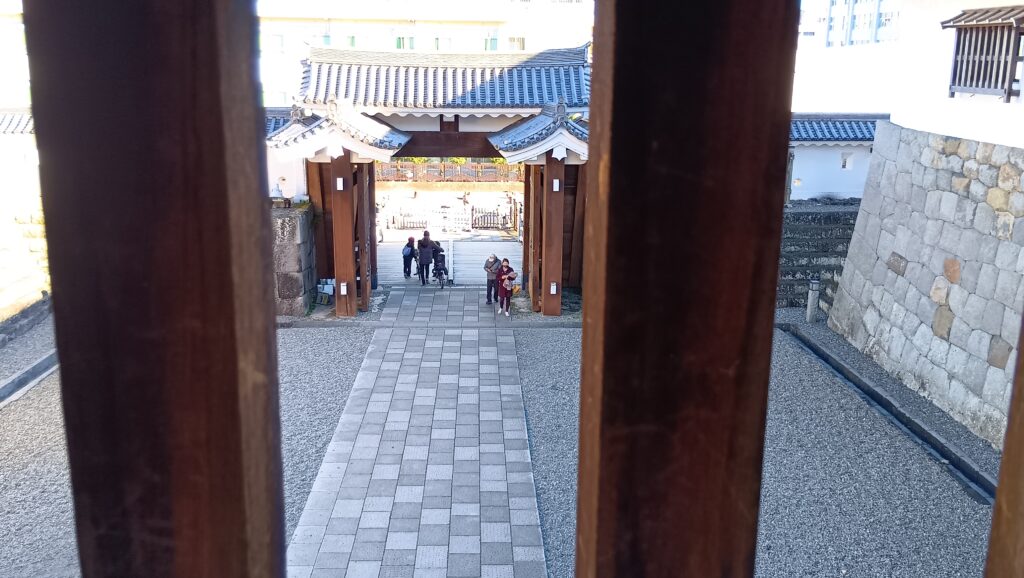
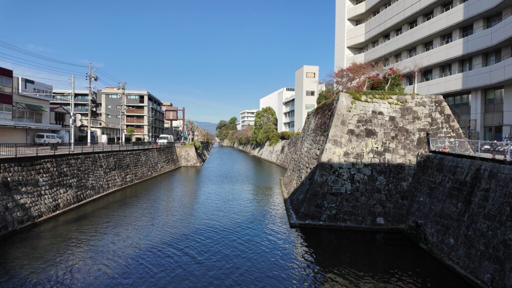
大手御門跡の前まで来ました。大手御門から、二の丸御門、御玄関前御門と進むのが、正規の登城ルートでした。今でもバンバン車が通っていて、県庁の正門みたいになっているのでしょうか。すごい枡形で、この上に建っていた門の建物も巨大だったのでしょう。枡形を抜けると、二の丸堀(中堀)に突き当たります。
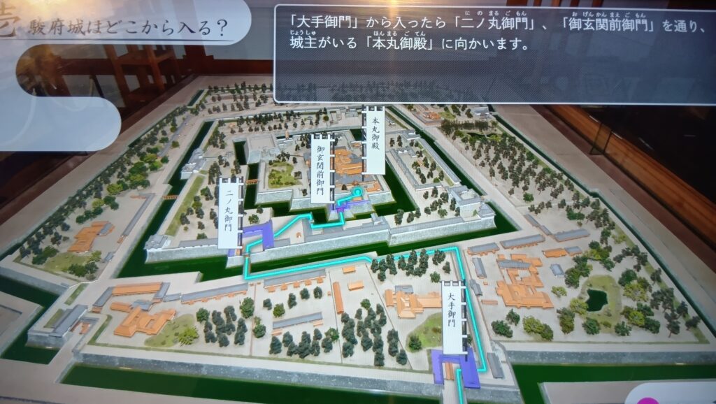
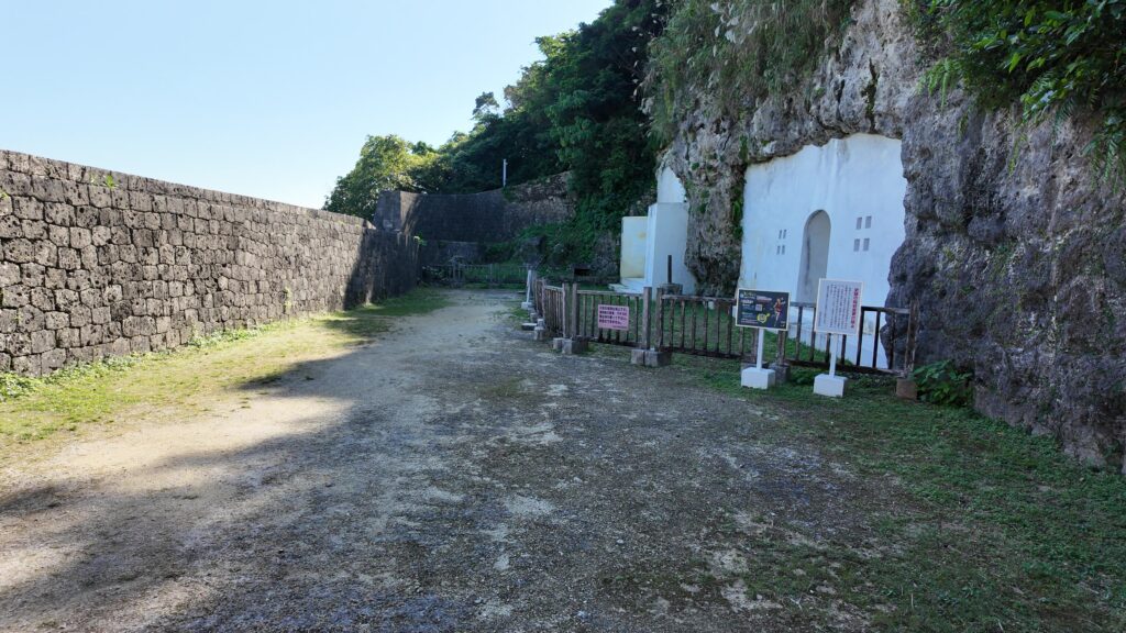
二の丸御門は左の方になりますが、この門跡は通ることができないのです。この門跡は、戦後の国体開催のときに埋められて、別の場所に橋がかけ替えられました。その二の丸橋を渡ります。そして左手の方に、二の丸御門の枡形が残っているのです。袋小路かと思ったら、入口をふさがれた枡形だったのです。
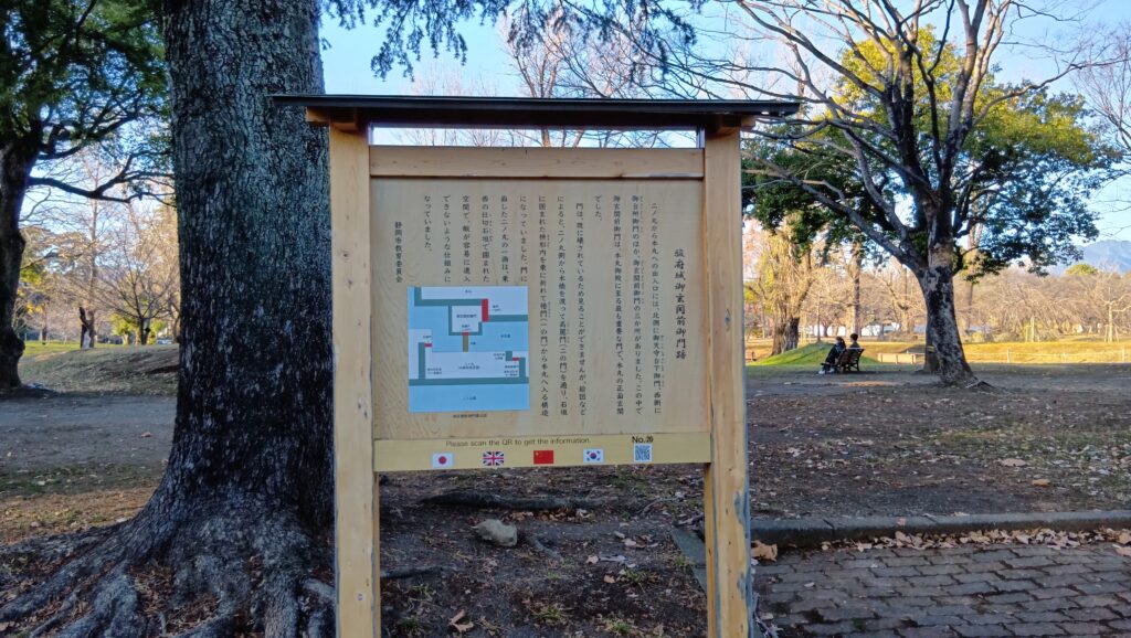
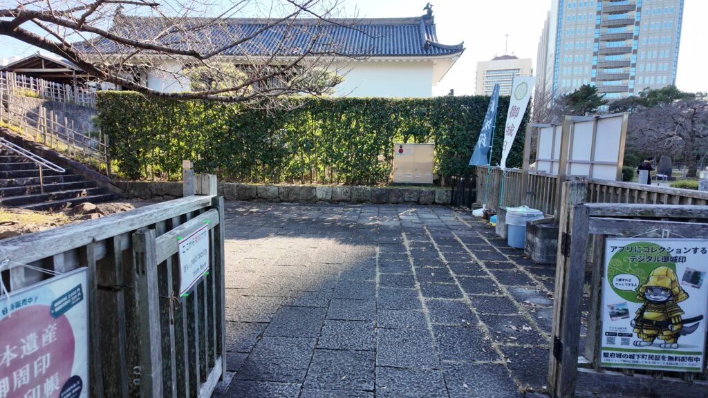
最後の御玄関前御門は、残念ながら案内があるだけです。中心部はかなり整地されてしまいましたので仕方ありません。でも、場所がわかっただけでも良かったです。
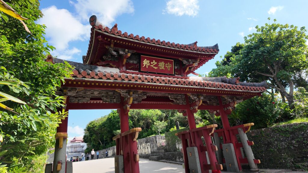
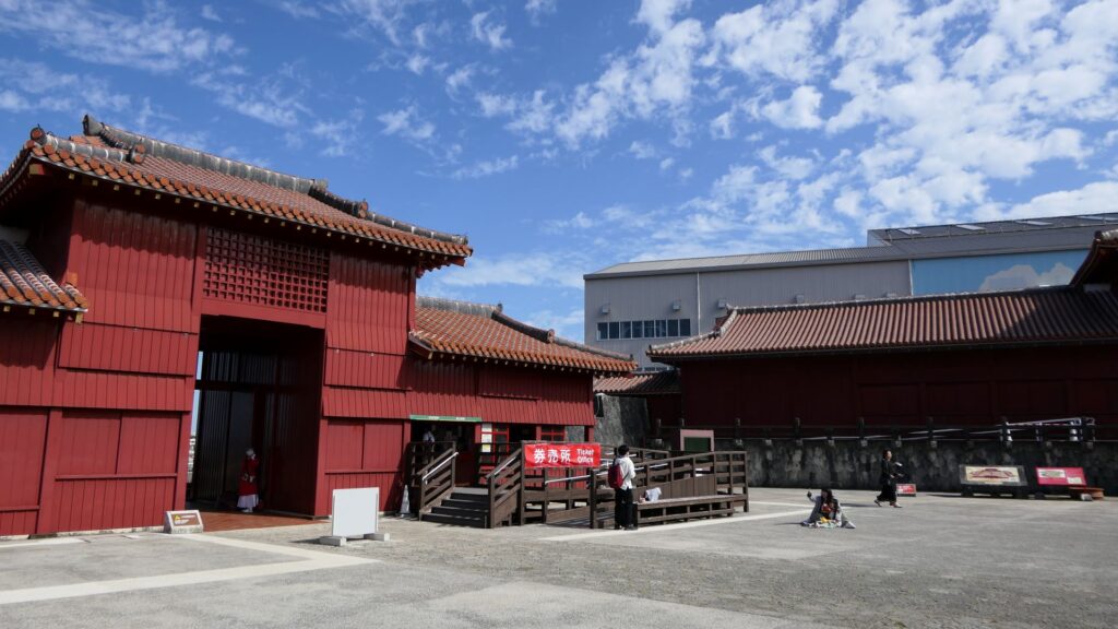
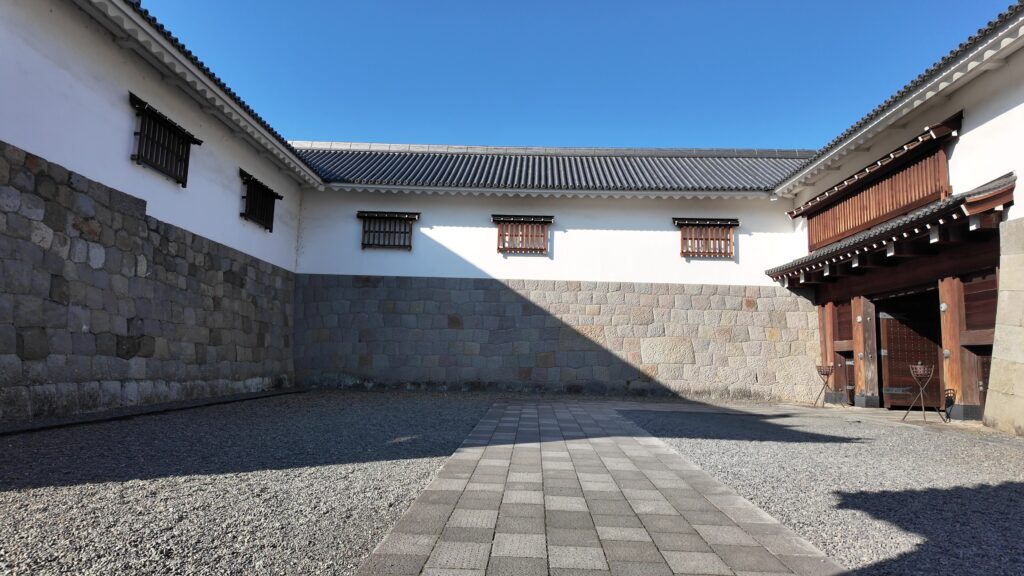
復元された門・櫓を見学
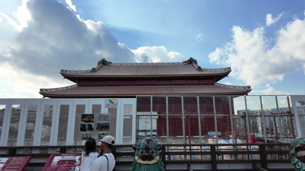
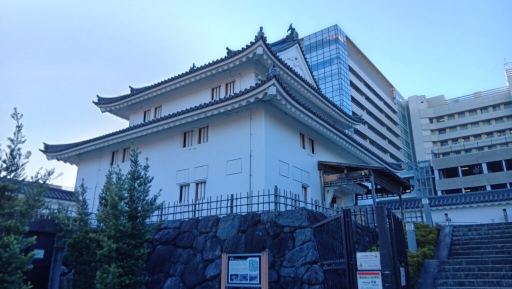
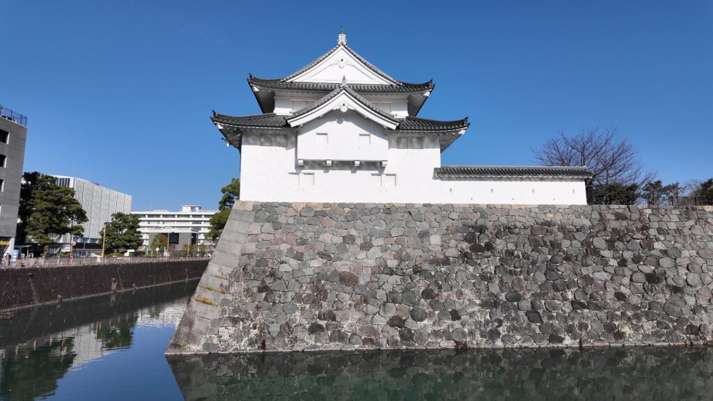
次は、中堀の前に戻って、復元された建物の方に行きましょう。巽櫓に近づいていきます。どっしりとした構えです(二重三階、平面は珍しいL字型)。大砲の標的にならないよう、こういうスタイルになったそうです。
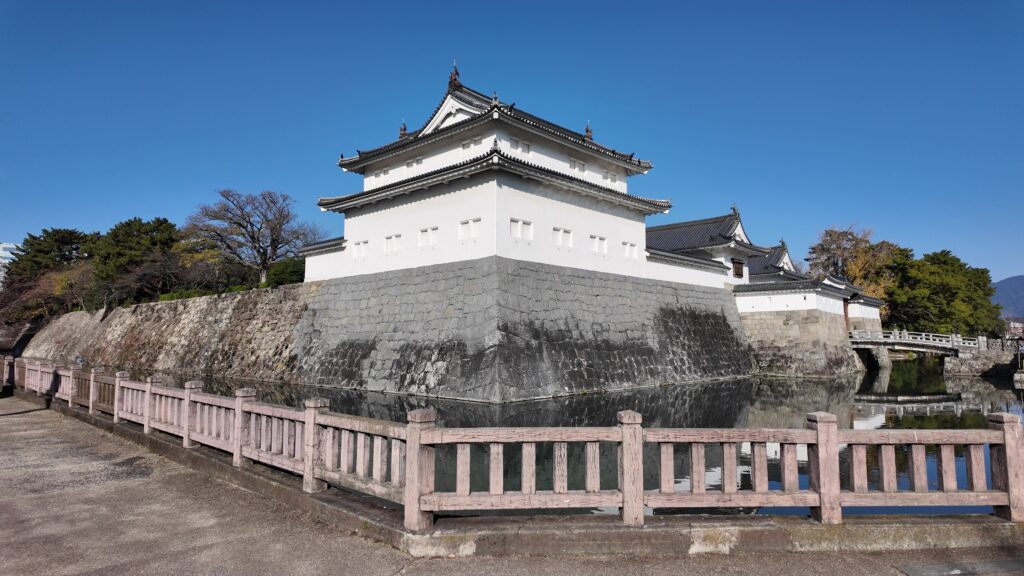
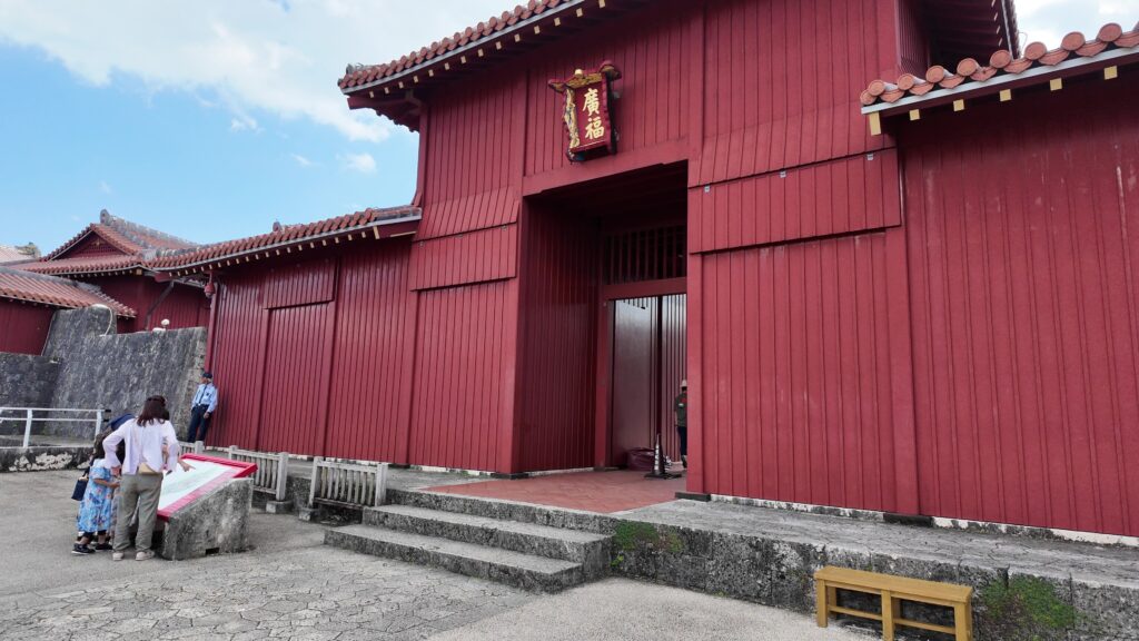
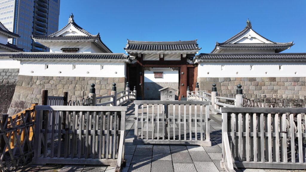
巽櫓からつながる東御門に行きましょう。この県庁をバックにした図柄は、好みがあるかもしれません。個人的には天守があるみたいで好きです。
東御門の高麗門から中に入ります。外からの攻撃に耐久性が高い内枡形です。そして右側の櫓門から枡形を出ます。
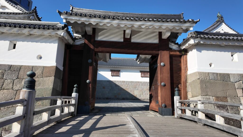
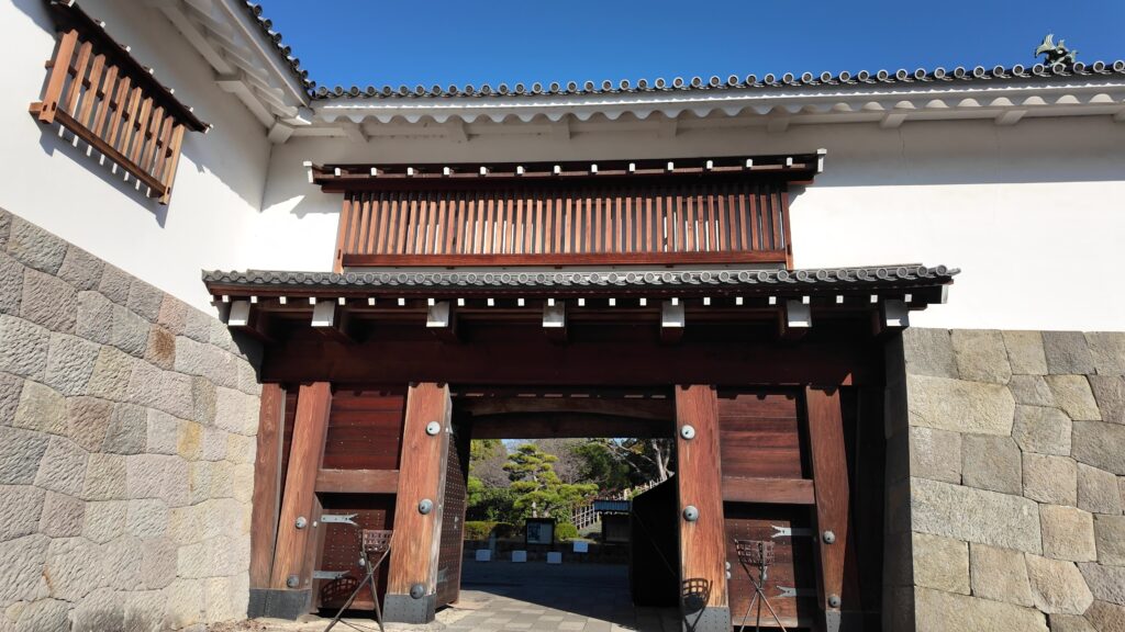
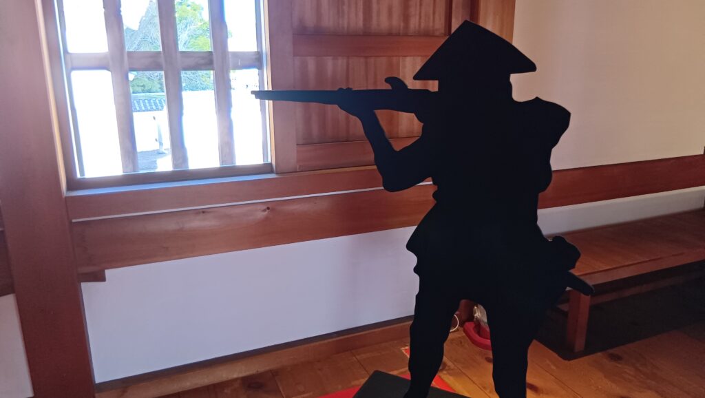
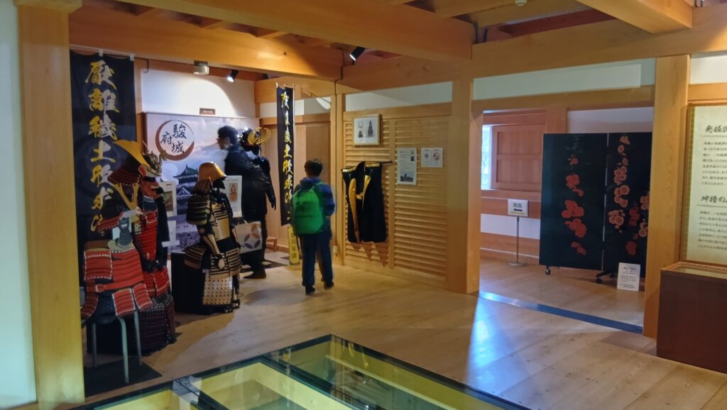
門と櫓の内部は公開されていますので、入ってみましょう。まず東御門ですが、多聞櫓にも囲まれていて、結構広いのです。防御の仕組みが分かるようになっていて、フィギアのところに石落としがあります。
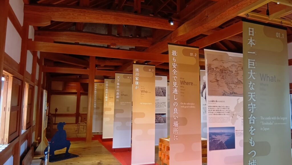
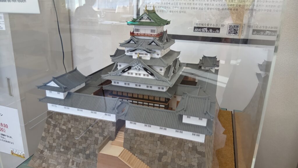
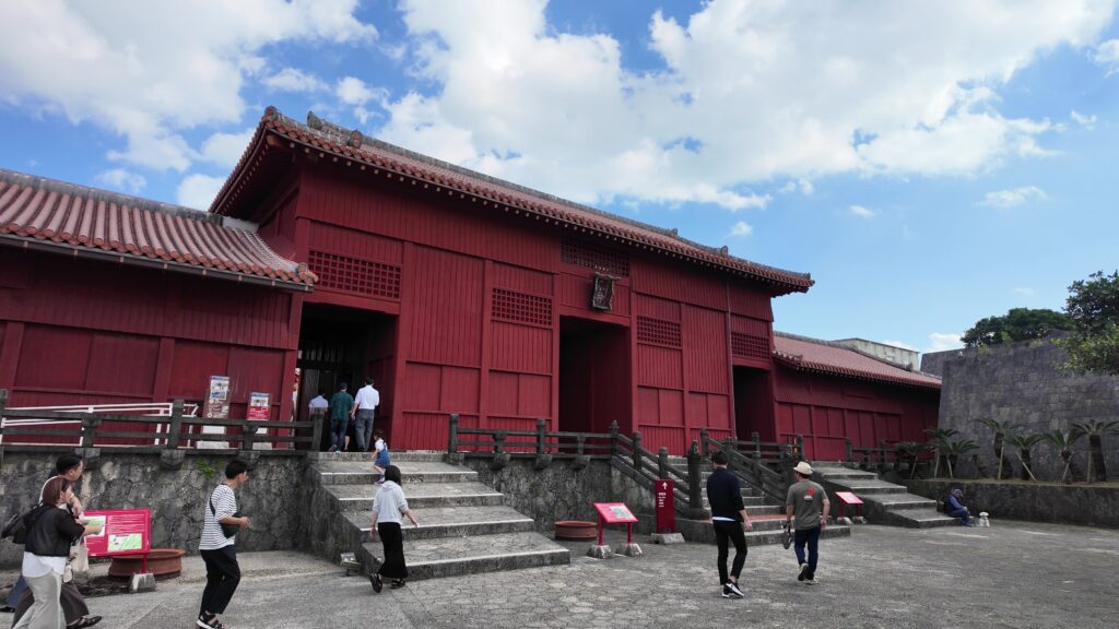
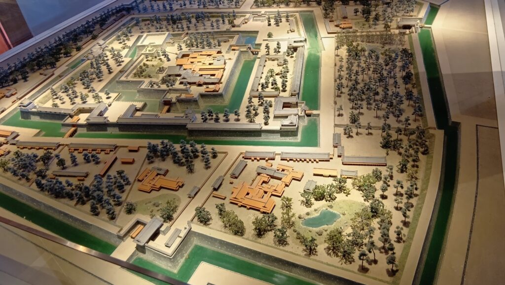
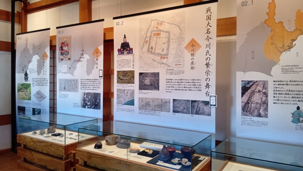
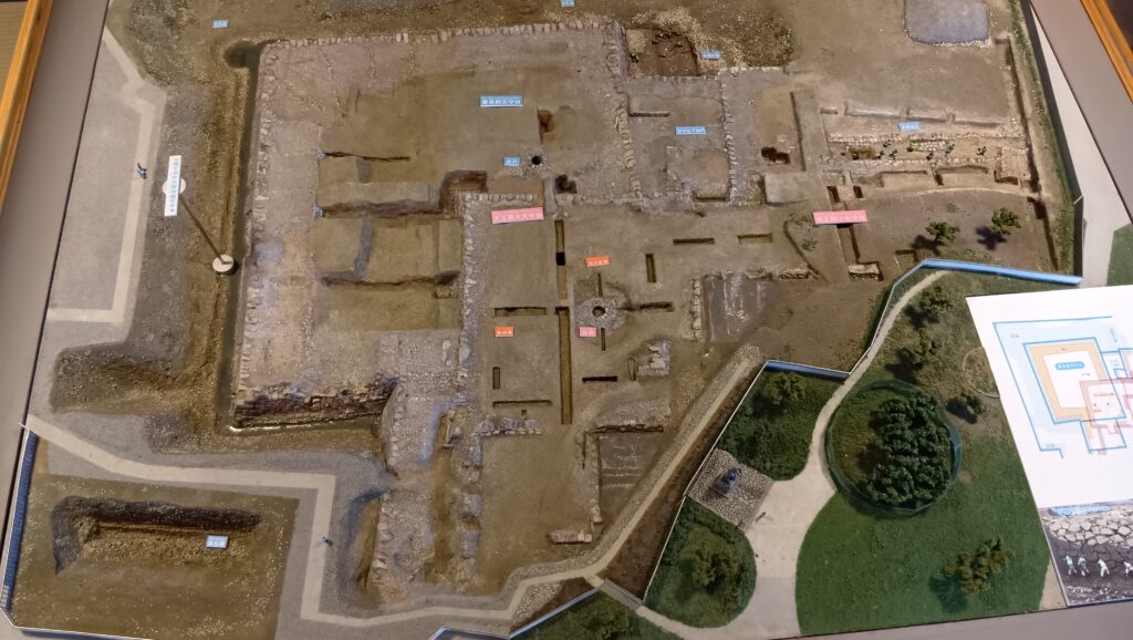
それに、資料館としてもかなり充実しているのです。例えば、櫓門の中に大きな城の模型があったり、門の正面の多聞櫓の中に、今川時代から大御所時代までの歴史展示があったりします。
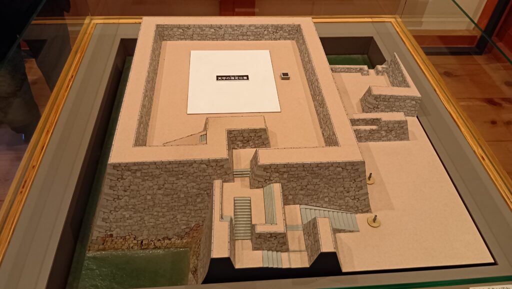
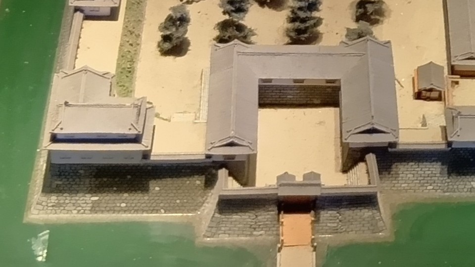
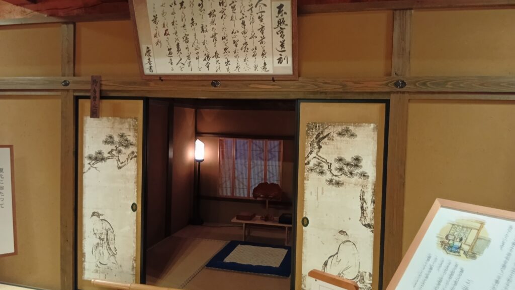
曲がった先の多聞櫓では、幕末までの歴史です。鉄砲を撃つフィギアもいます。巽櫓に行っても、展示は続きます。なんと、天守台発掘調査現場の模型まであります。そして二階には、復元された「竹千代手習いの間」があります。
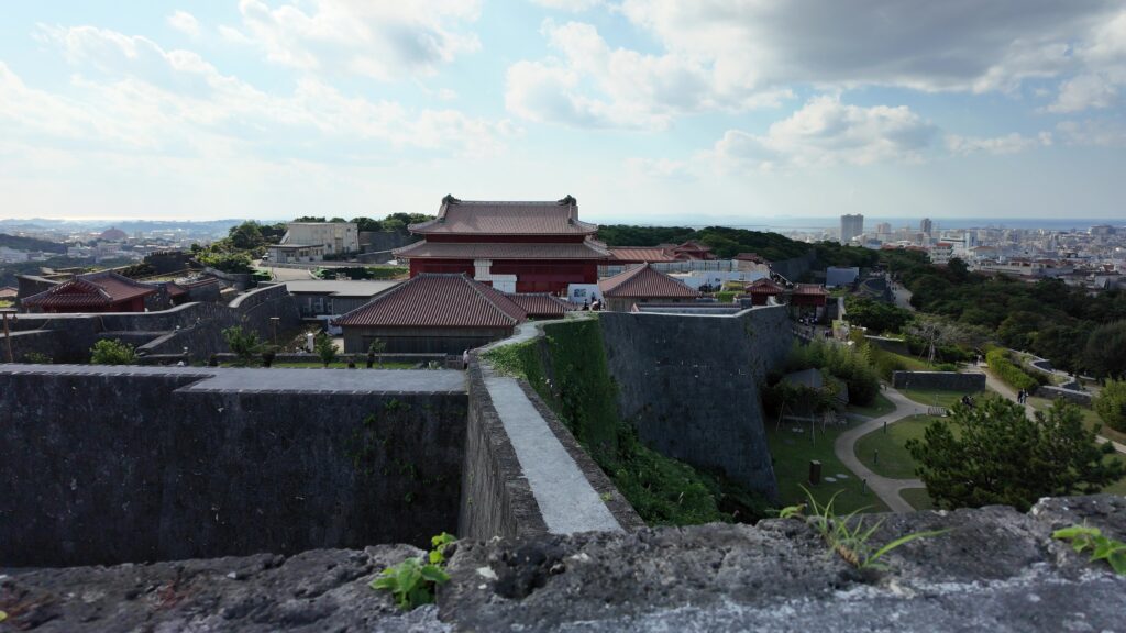
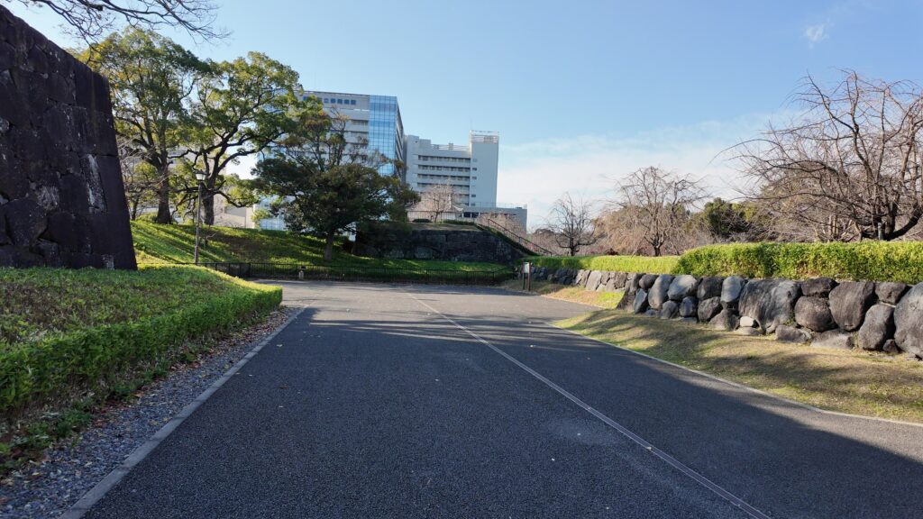
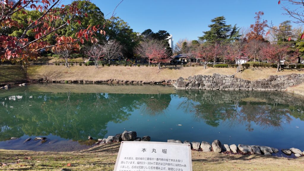
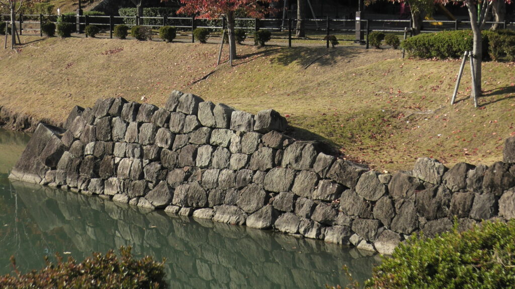
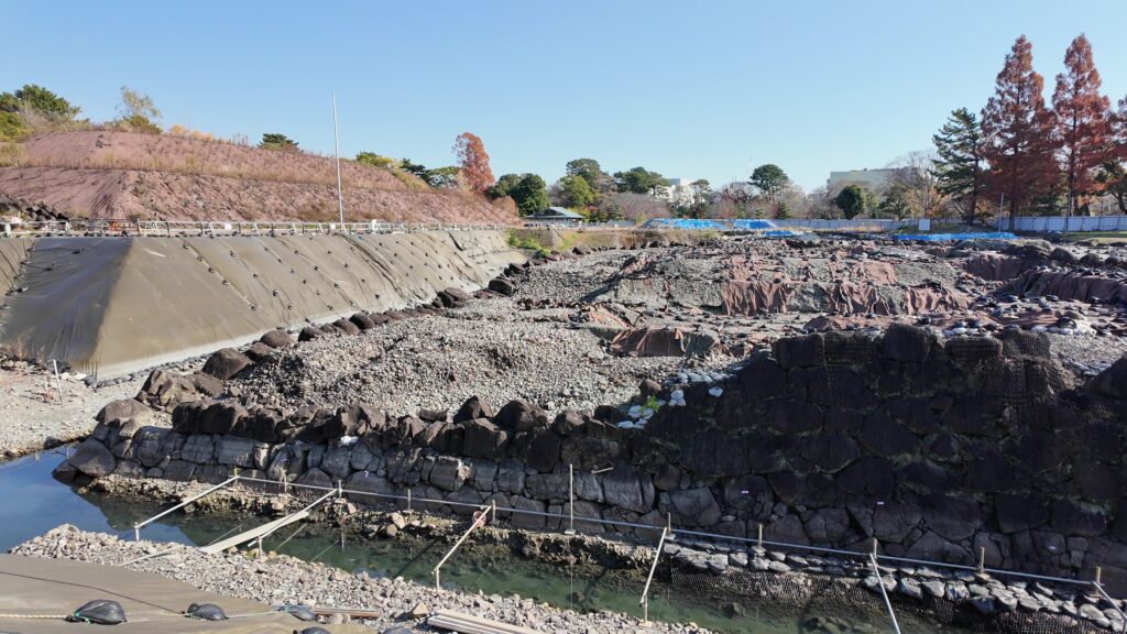
建物から出たら、本丸堀(内堀)に行ってみましょう。埋められてしまったのですが、一部掘り返されて、見学できるのです。石垣も見えます。
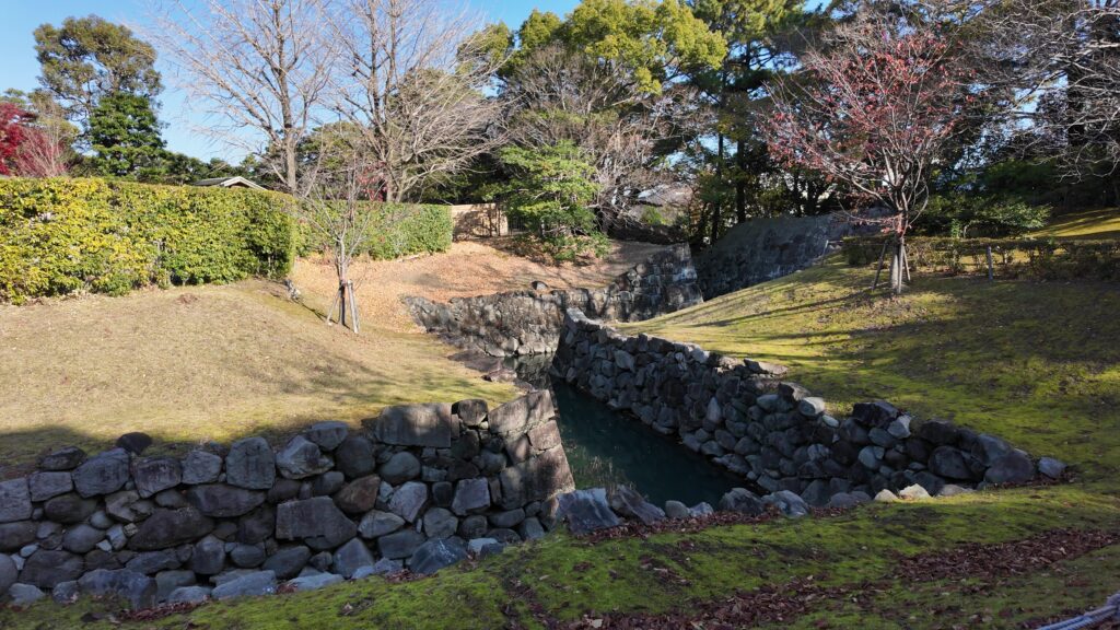
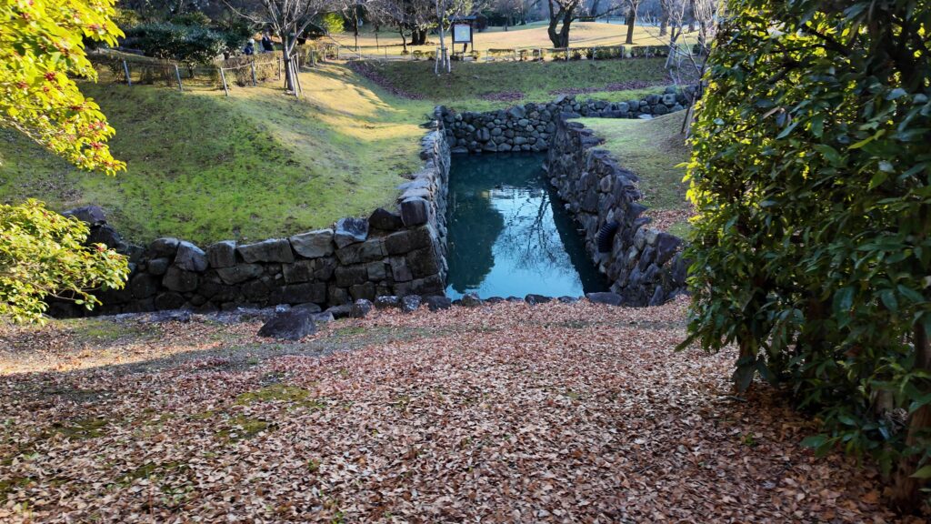
次は二の丸水路です。本丸掘と、二の丸堀をつないで、水位調整を行っていました。
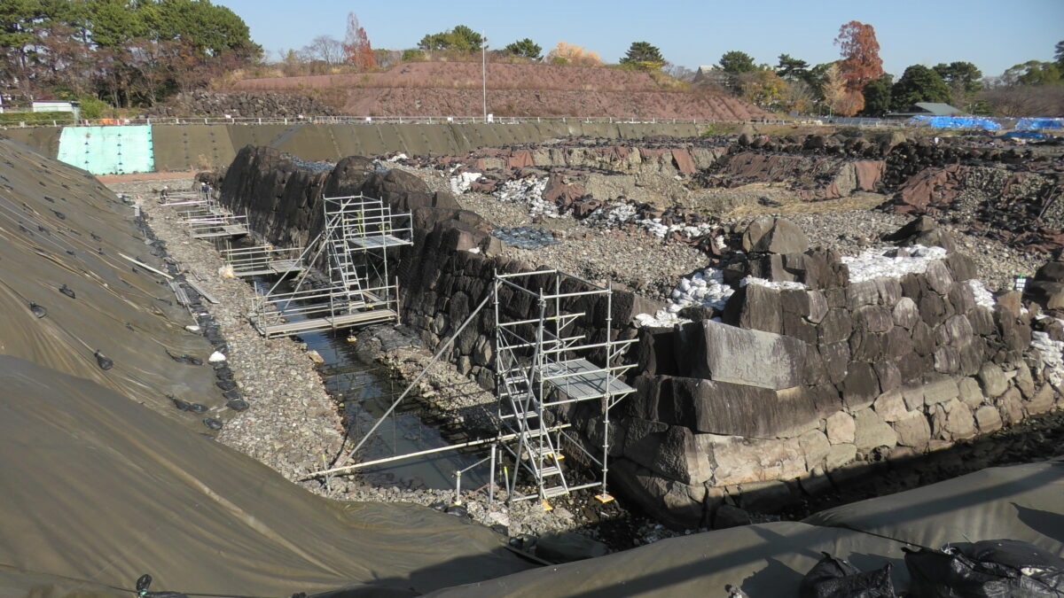
いよいよ天守台へ
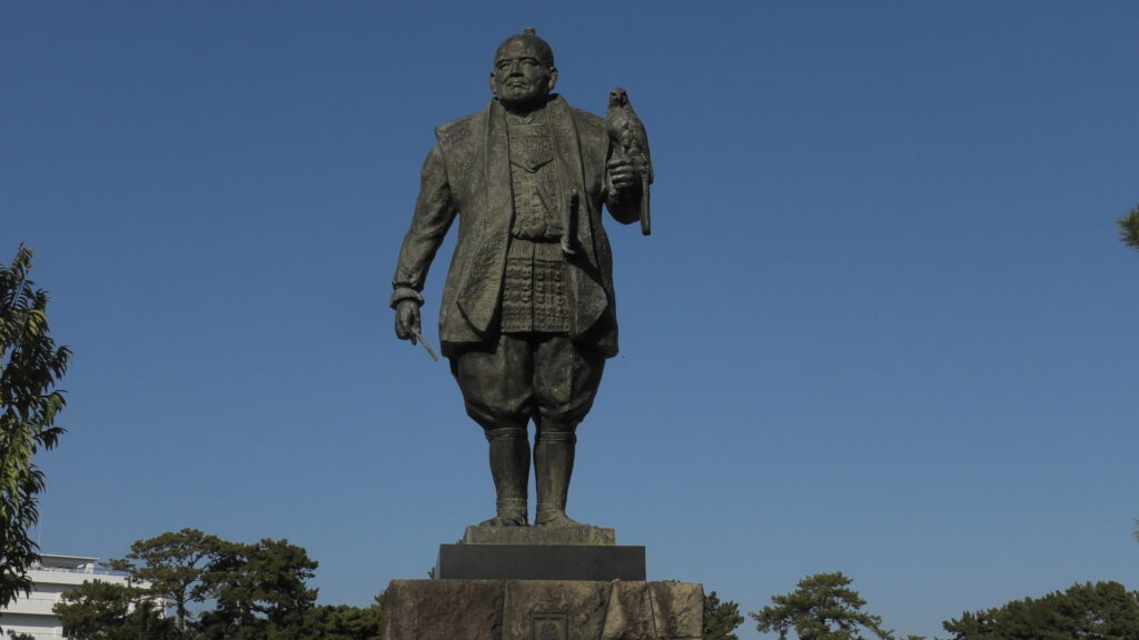
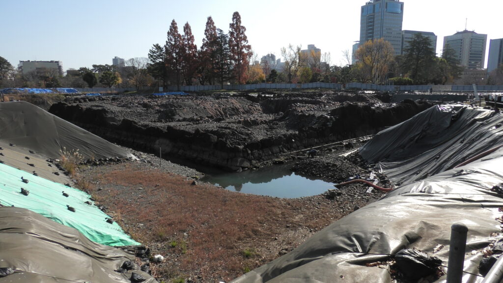
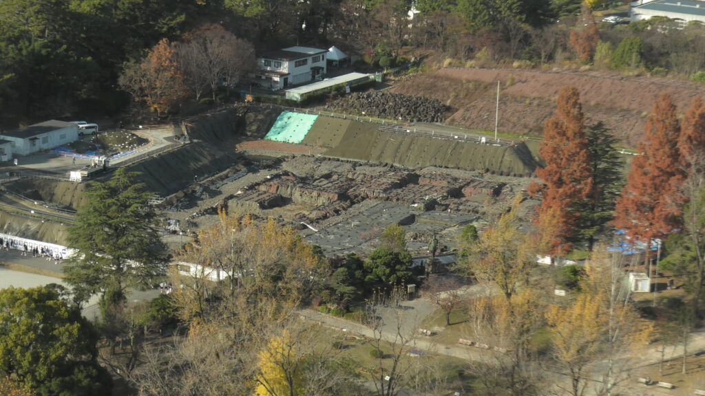
そして、いよいよ天守台です。近くで家康公もお出迎えです。
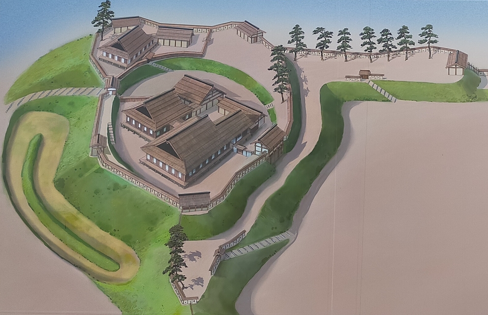
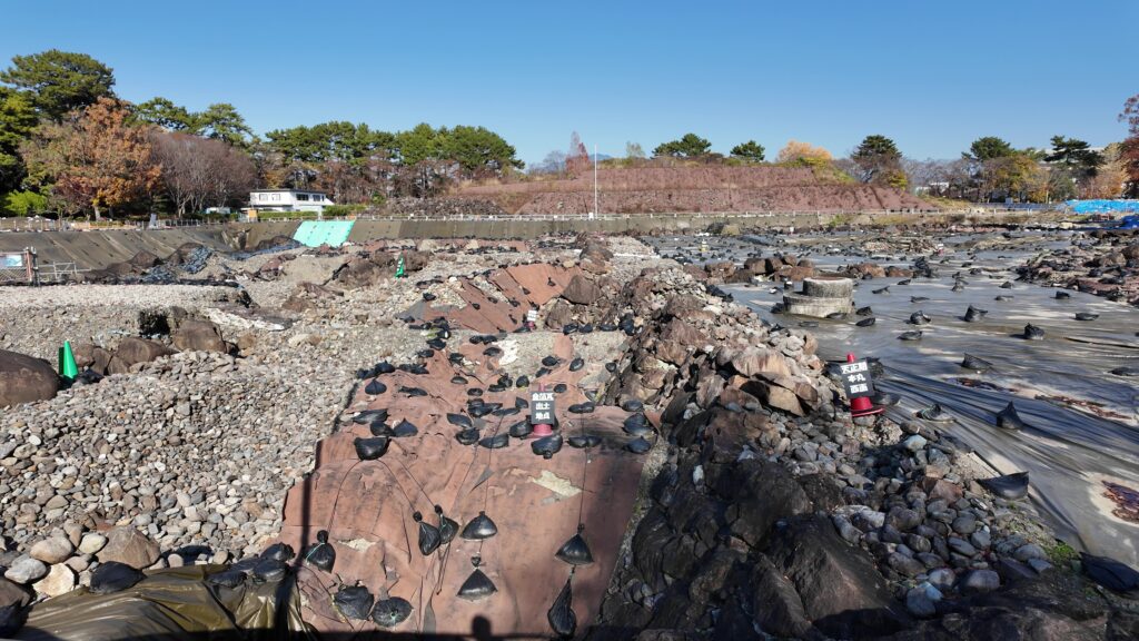
広大な現場です。緑のコーンが慶長期、赤のコーンが天正期、黄色のコーンが今川期の遺物を表しています。
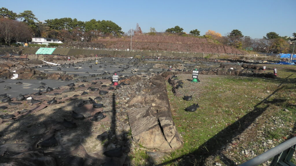
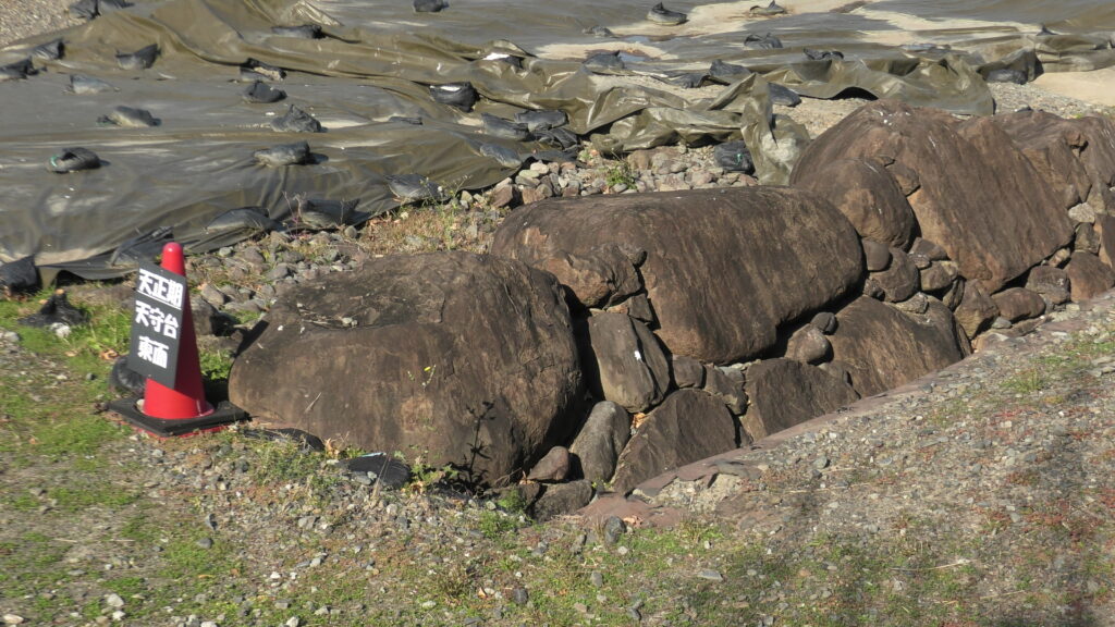
別の図(下記)も使いながら、天正期天守台(赤いライン)からご案内します。南側の天守台出入口を見ながら、大天守台の南東隅をかすめていくという感じです。緑のコーンもあるので、慶長期のものとかぶっています。
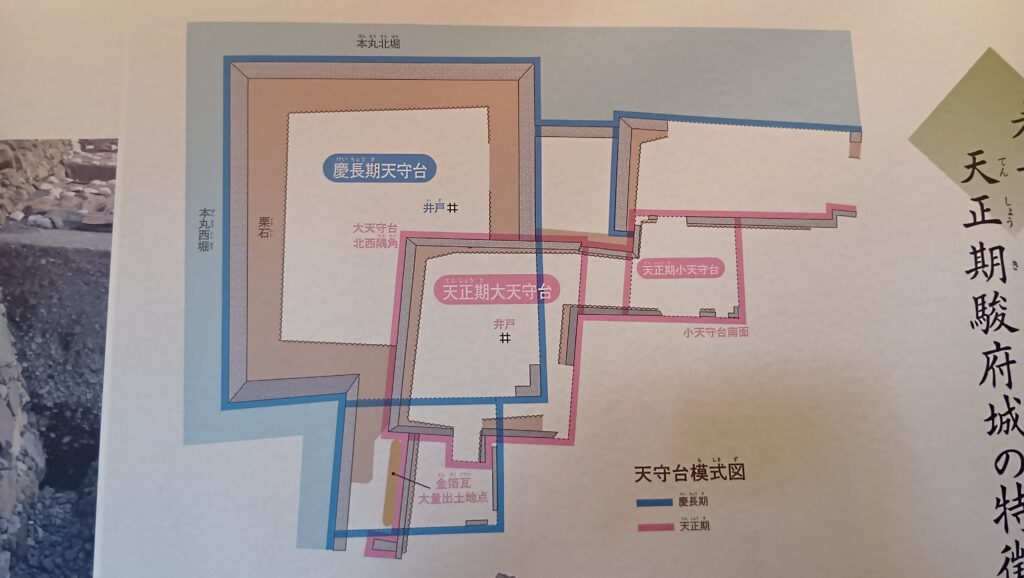
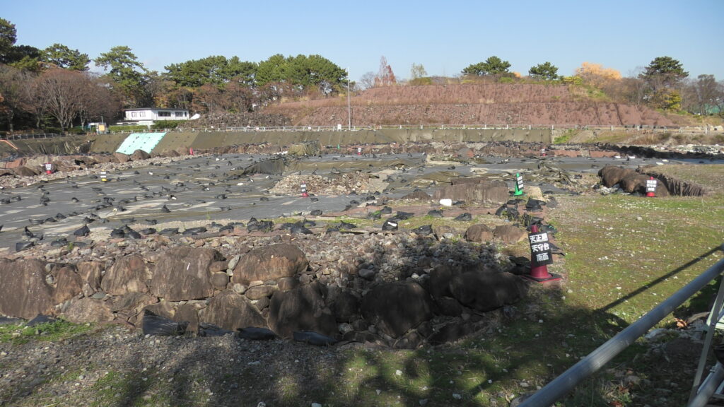
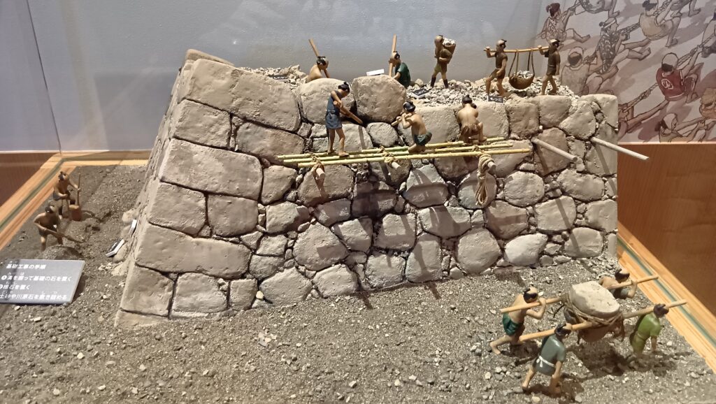
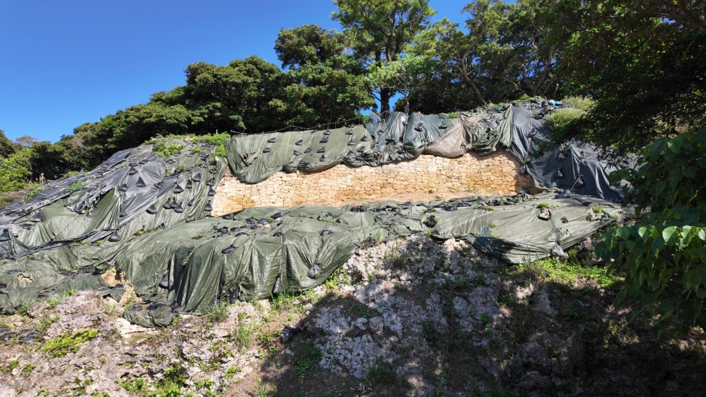
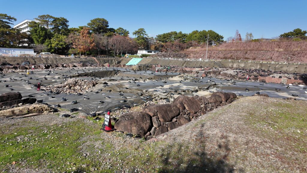
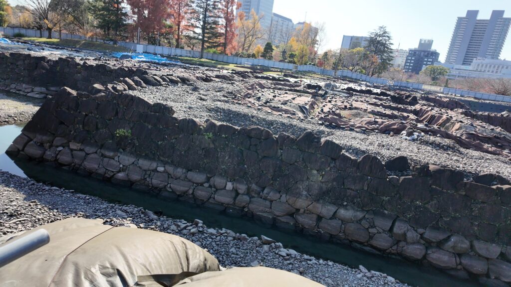
見学ゾーンの端まで来ました。手前の石垣が目立っています。東側に面した石垣で、野面積みです。ここから、北東隅、北西隅を示すコーンが見えます。古い方の天守台でもかなり大きかったのです(東西約33m、南北約37m)。家康が豊臣大名時代に築いたものなのでしょうか。
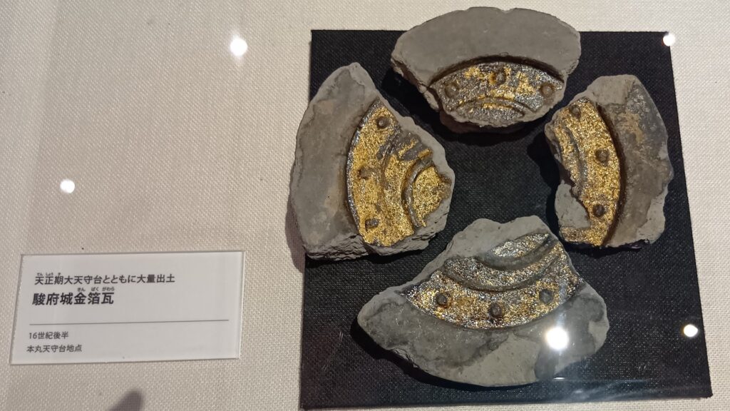
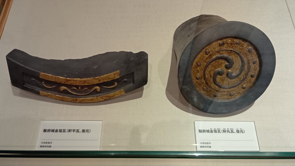
続いて、慶長期天守台の方に向かいます。小天守台の石垣が見えます。途中では、天正期の金箔瓦が出土したところや、本丸西側の石垣を回り込んでいきます。すると、巨大な天守台が姿を現します。
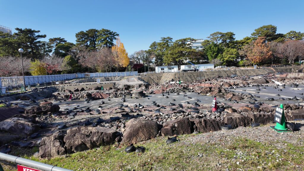
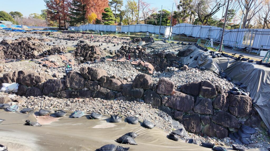
巨大でもあるし、石の形も整えられています。南東側は、地震があって積み直したので、より新しい方式(切り込みハギ)になったそうです(東西約61m、南北68m)。

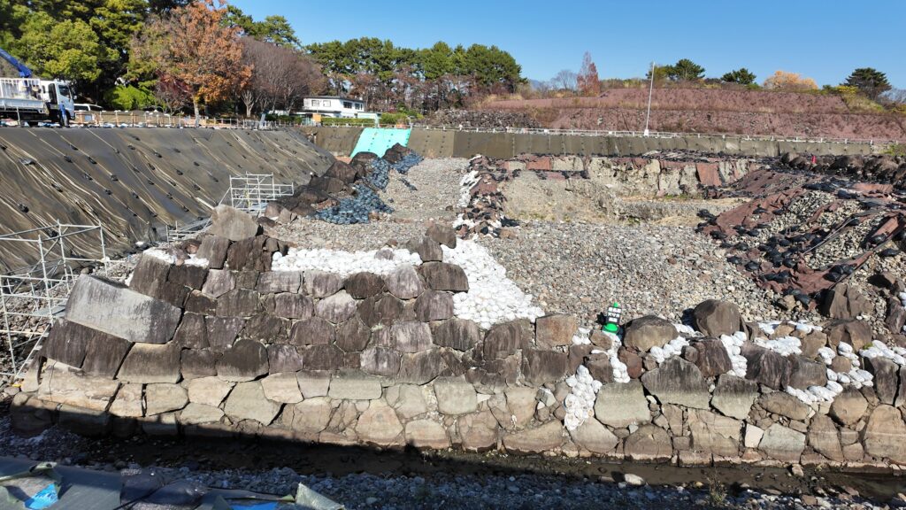
北側に向かって歩きます。北西隅まで来ました。先ほどの南西隅より石の形が粗くなっています。こちらは家康時代のオリジナルとのことです。
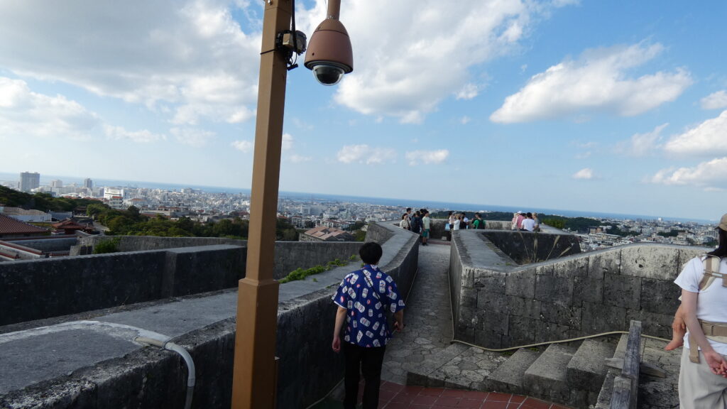
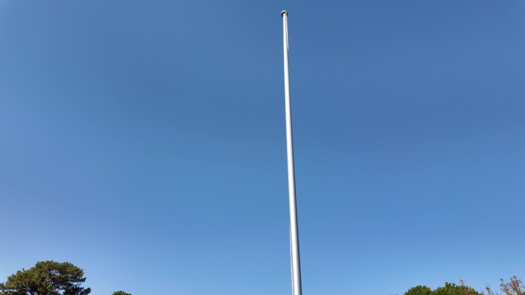
そして、見学ゾーンの北の端まで来ました。見えているのは、北側の石垣です。ちょっと上を見ていただくと、ポールが立っています。かつて、天守台はあの高さまであったそうです(地上12m、堀水際から19m)。
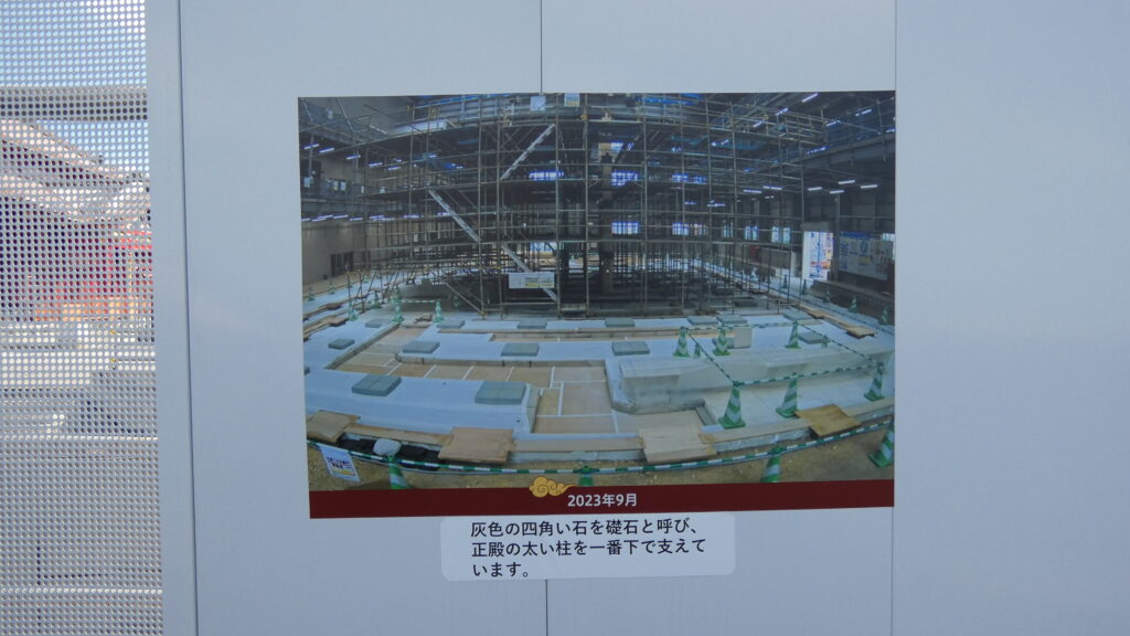
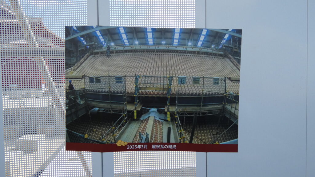
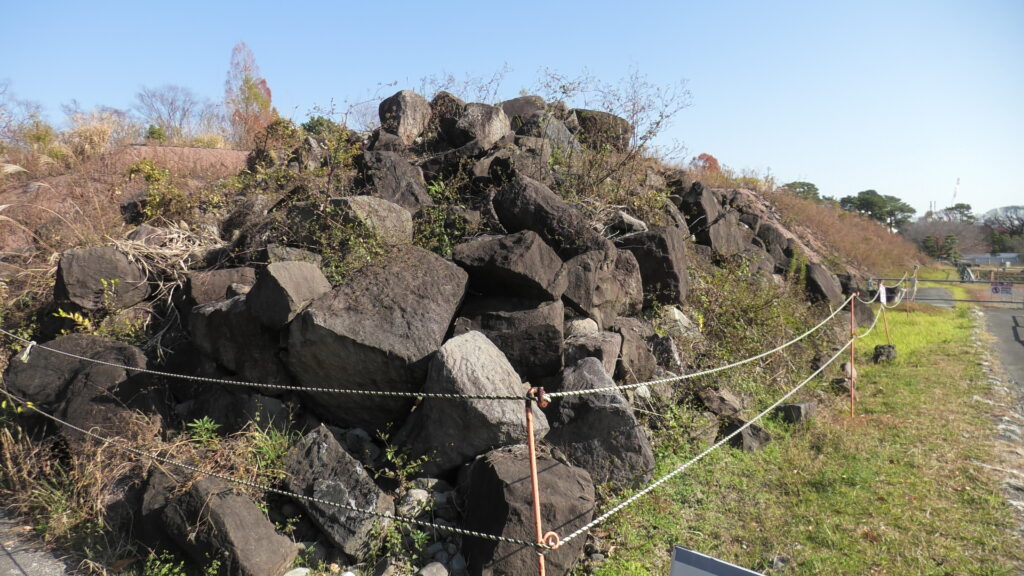
最後に興味部会ものをお見せします。本丸掘から出た石、とあります。天守台を崩して、堀を埋めるのに使われたのです。元は天守台にあったということです。何とか復元できないかと思ってしまいますが、とんでもないパズルになってしまうでしょう。当面は、現状の天守台の展示施設を作るということです。
まだまだある見どころ
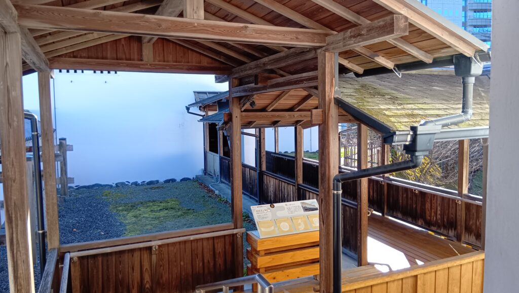
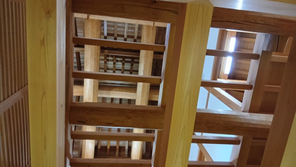
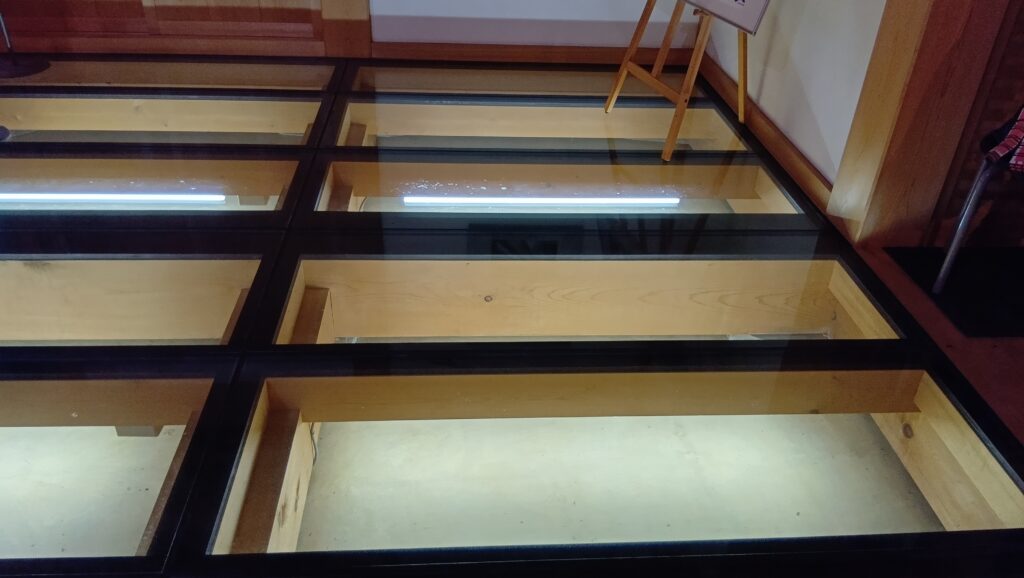
次は復元された坤櫓です。内側にも格子窓がたくさんあるのは、敵が曲輪に侵入しても、反撃できるようにするためと言われています。内部の展示はシンプルなのですが、屋根までの木組みの構造や、床下まで見学することができます。格子窓から外を見ると、ここも角地だとわかります。
堀の外からも見学しましょう。重要なポジションを守る櫓だとわかります。外側にはばっちり石落としもあって、かっこいいです。
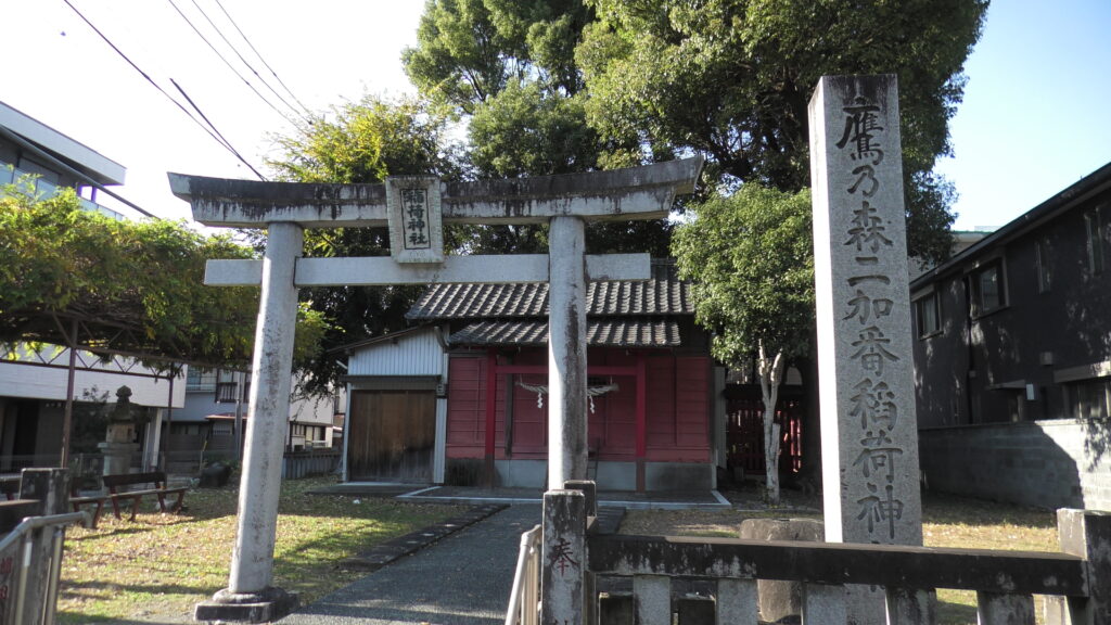
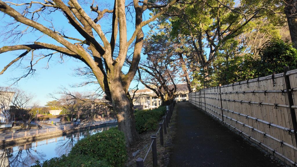
少し足を延ばして、西側の三の丸堀を歩きましょう。立派な櫓台があります。ただ、昔の絵図でもここに建物があったかわからないそうです。三の丸堀は残っているだけでも相当長そうです。近くには、城を警備した加番の屋敷跡の一つがあります。
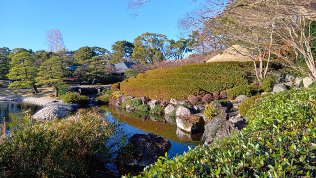
最後は、二の丸に北御門から入ってみましょう。入ったところに、土塁の上を歩ける遊歩道があるのです。内側は紅葉山庭園になっています。北東の角地を過ぎて進んでいきます。こうやって見ると、城の土塁をずいぶん高くしてあることがわかります。こちら側は標高が低いということなので、かなり盛ったのでしょう。さっき見た二の丸水路のところに出ました。駿府城、歩いただけ新たな発見がありそうです。
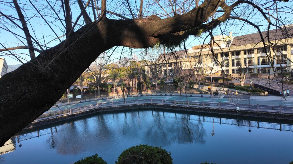
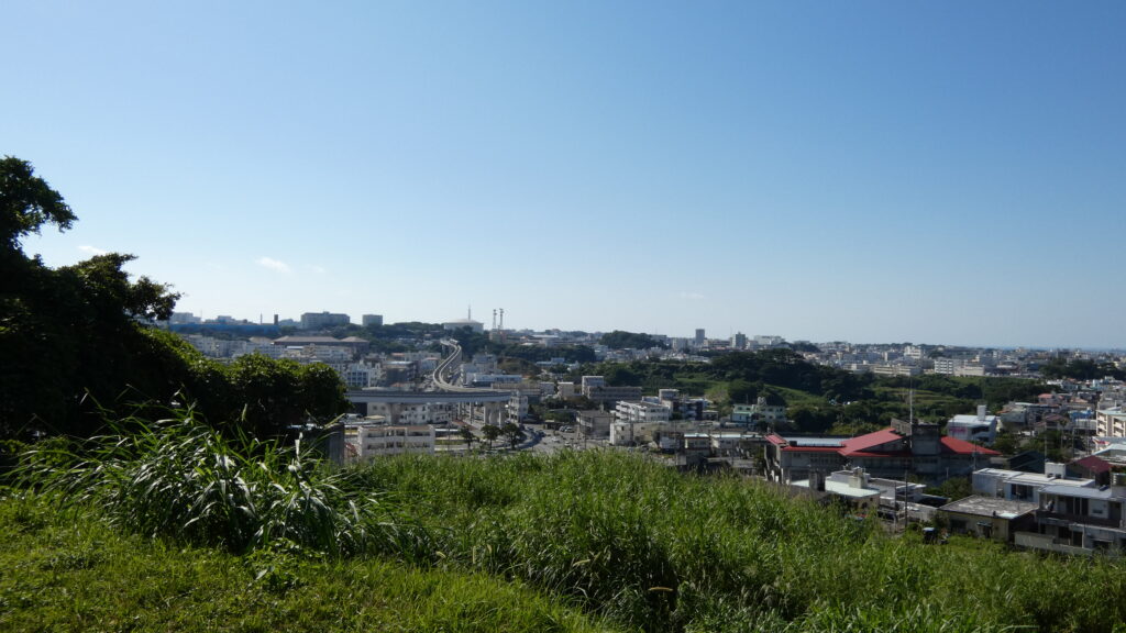
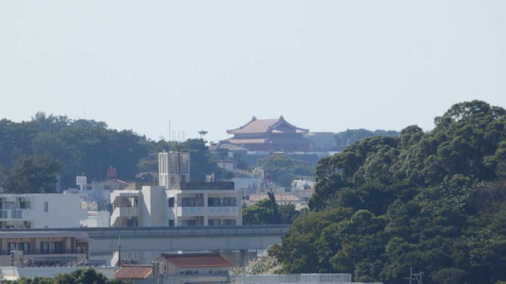
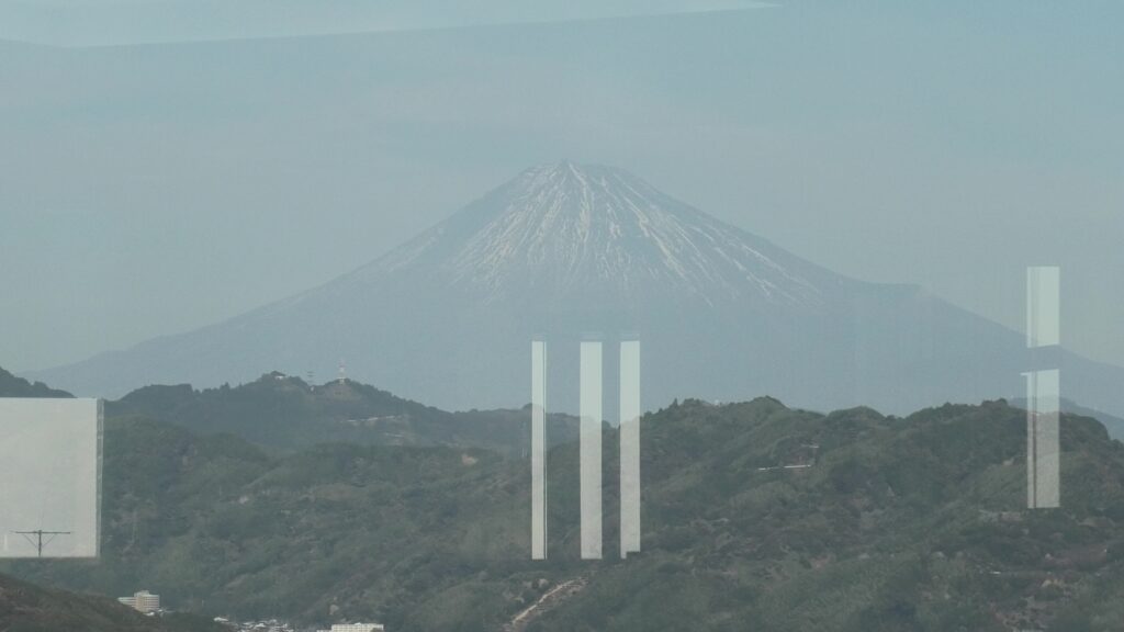
最後は静岡県庁舎別館、21階富士山展望ロビーに行きます。現代の天守に登れるのです。まず、今日行った駿府城を確認しましょう。ここからでも天守台の巨大さがわかります。富士山の方はどうでしょうか。ガラス越しになりますが、よく見えました。
リンク、参考情報
・駿府城公園、公式ウェブサイト
・「駿府城まるわかり(駿府城ガイドブック)」静岡市
・「家康と家臣団の城/加藤理文著」角川選書
・「静岡の城/加藤理文著」サンライズ出版
・「歴史群像129号 戦国の城 駿河駿府城/樋口隆晴著」ONE PUBLISHING
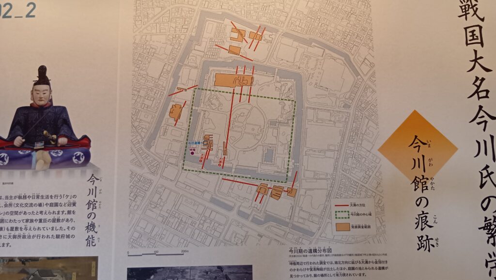
・「シンポジウム 今川館の姿にせまる 資料集」静岡市
・「最後のサムライ 山岡鐵舟」教育評論社
・「山岡鉄舟 決定版/小島英記」日本経済新聞出版社
・歴史秘話ヒストリア 「駿府城大発掘!家康VS.秀吉 知られざる攻防」2019年放送
・Youtube「小和田哲男:今川「人質」時代、徳川家康の実像を物語る3つのエピソード」テンミニッツ・アカデミー – 1話10分で学ぶ大人の教養講座
これで終わります、ありがとうございました。