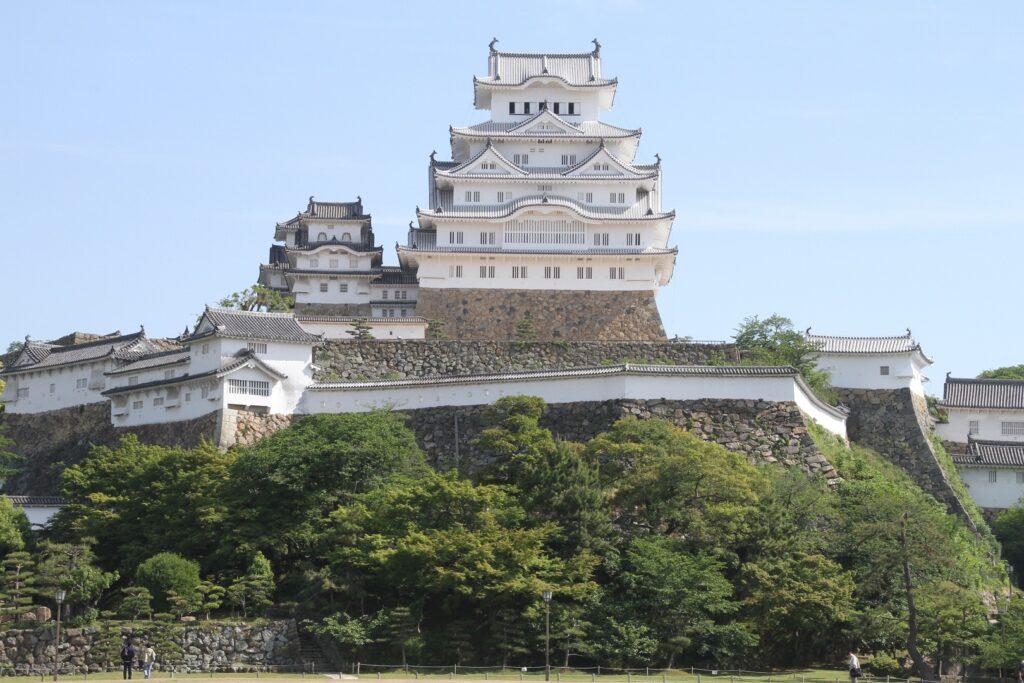
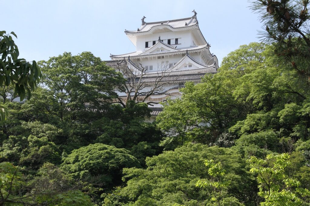
Features (The Large Main Tower)
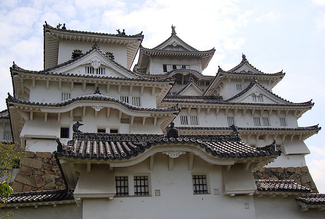
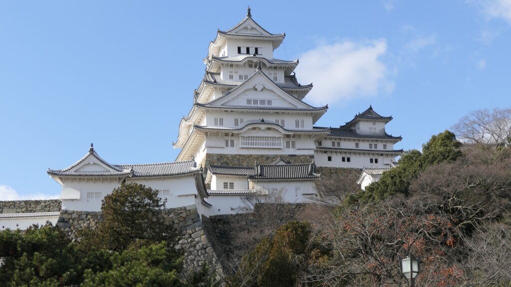
The Large Main Tower has five layers, but its inside has six levels with a basement. The tower was built using the lookout tower style. This type of tower usually has a small look-out tower on a large-scale turret with hip-and-gable roofs. But Himeji’s tower looks smart and doesn’t have a veranda at the top floor that other look-out towers usually have. The tower is categorized as the late lookout tower type that would evolve into the multi-storied type later.
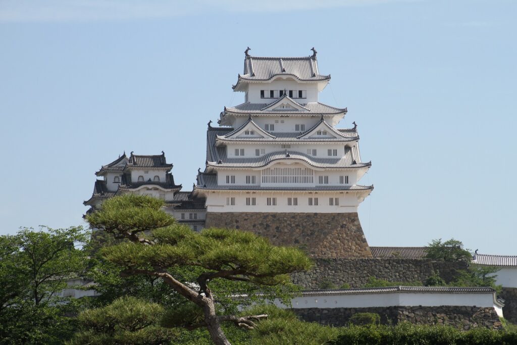
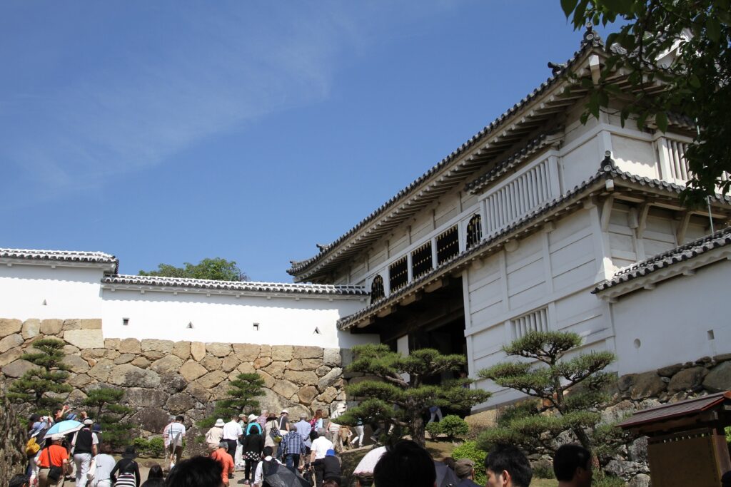
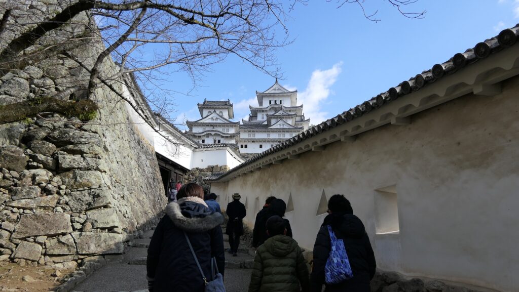
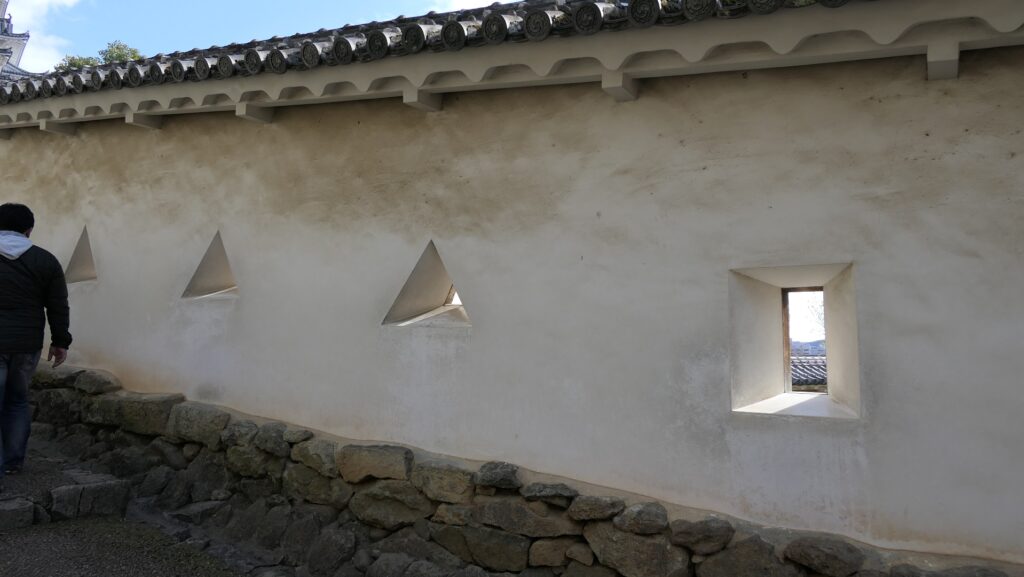
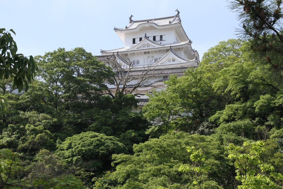
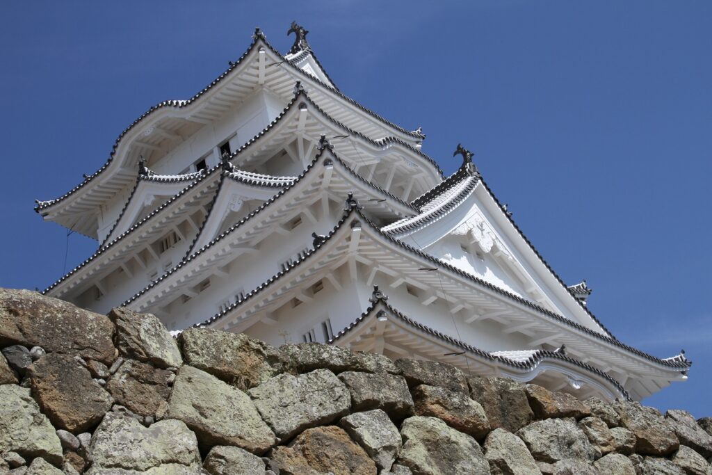
Its roofs are decorated with many Chinese style gables and triangular shaped gables. White plaster is painted thickly over its walls as well as the gaps among the roof tiles to protect against fire, that makes it looks like a white heron. On the other hand, it is also equipped with lots of machicolations and loopholes for battles. You can enter into the tower, but please note that you may have to stand in a line over an hour because the tower is very popular. In addition, only a limited number of visitors are allowed inside at a time. Unlike its gorgeous appearance, its inside is built very practically. The tower was actually built as a place just for battle.
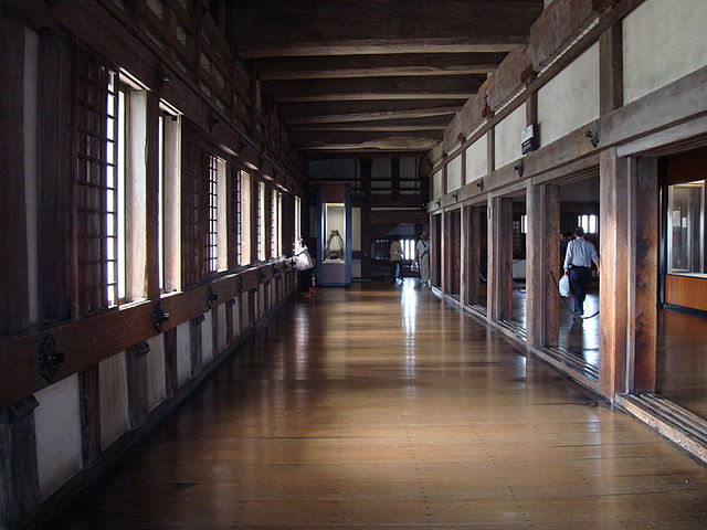
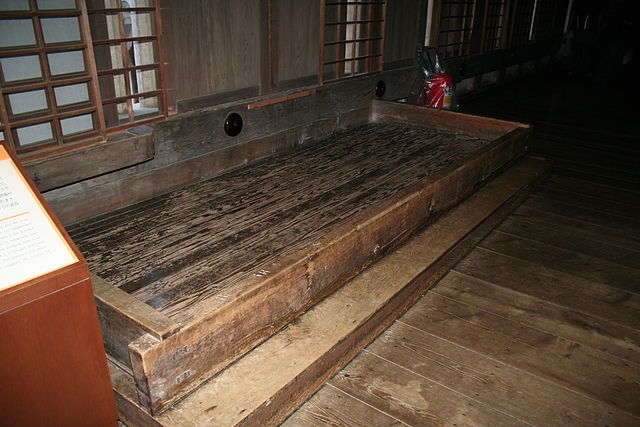
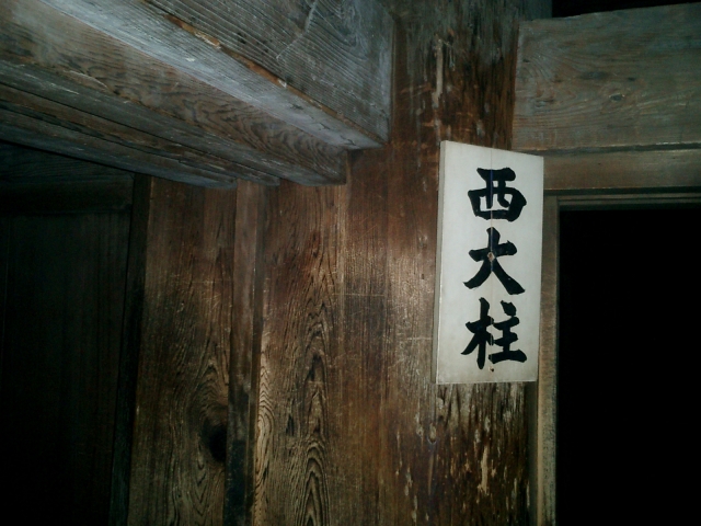
The inside has kitchens, toilets and warehouses to accommodate many soldiers for a long siege. You can also see how soldiers could use machicolations and loopholes inside. The Large Main Tower is mainly supported by two large pillars (the East and West). The West Large Pillar had actually been spoiled, so it was replaced with new one when The Showa Great Repairs were done in 1959. The foot of the East Large Pillar was also fixed then. You can now see these large pillars clearly above the third floor.
Features (Sides and Back of Castle)
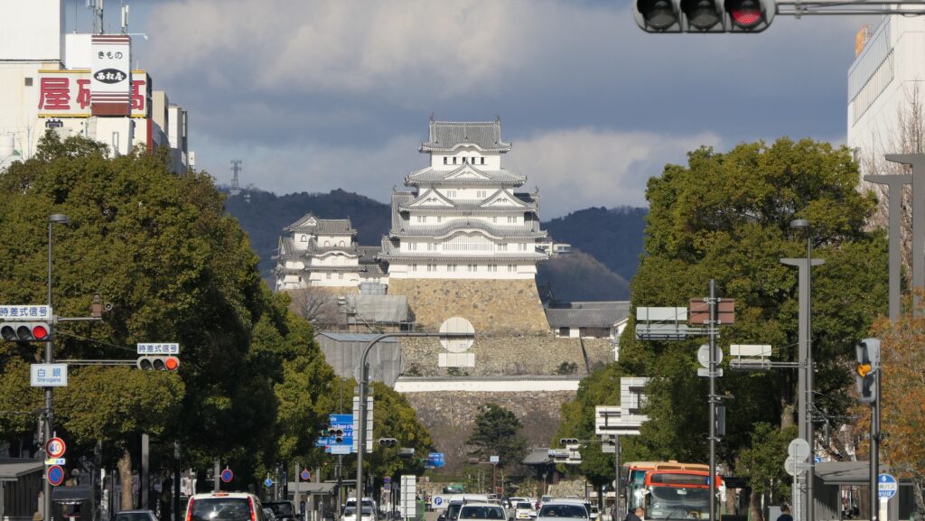
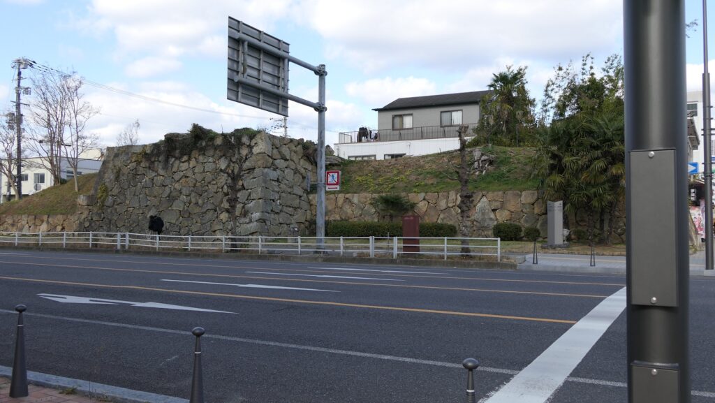
The map around the castleHimeji Castle has a lot of perspectives even in the sides and back. Let me introduce some of them. First, on the front foot of Himeyama mountain, you can see terraced stone walls which are piled with natural stones, a primitive method called “Nozura-zumi”. They are said to be built by Hideyoshi Hashiba or Kanbe Kuroda. They also surround Kamiyamazato Enclosure which is one of the oldest enclosures in the castle.

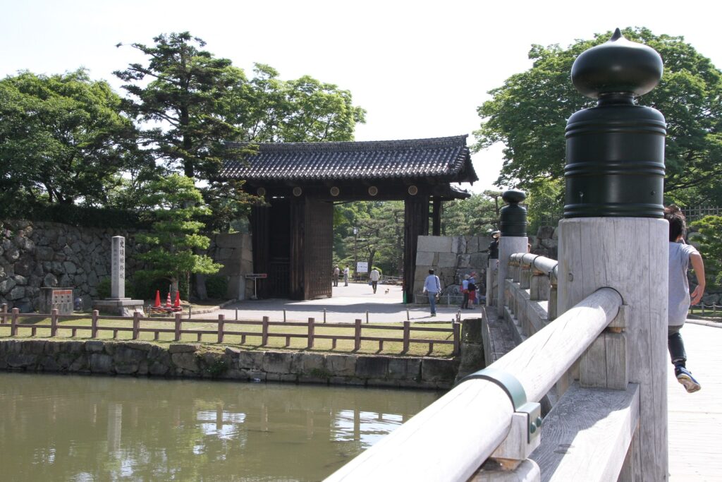
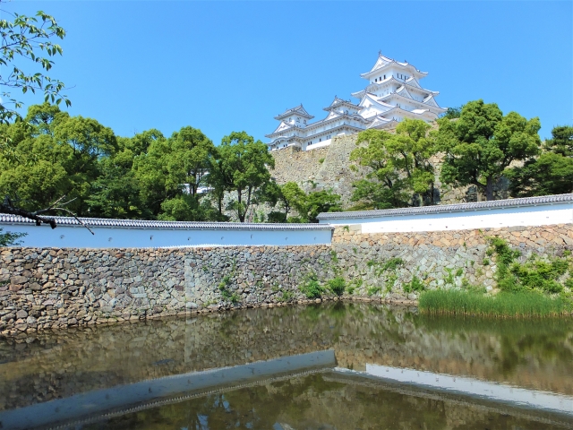
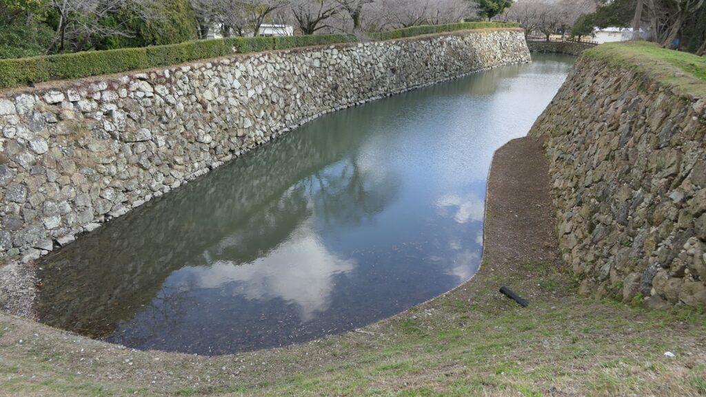
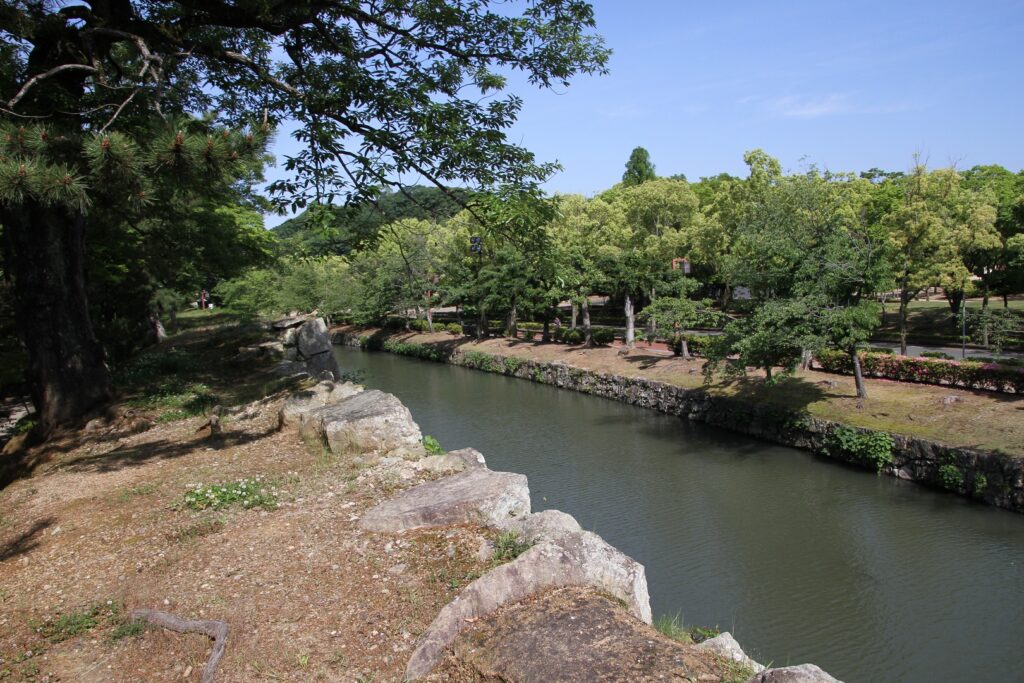
Moving to the right side of the castle, you can see the edge of the moat which is separated from the Inner Moat. There was the warehouse for freight called Uchisenba-gura nearby. This meant that the moat was used as a port.
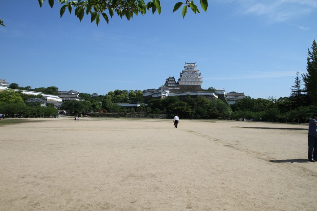
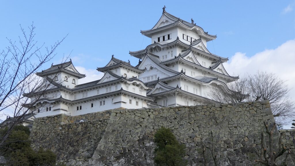
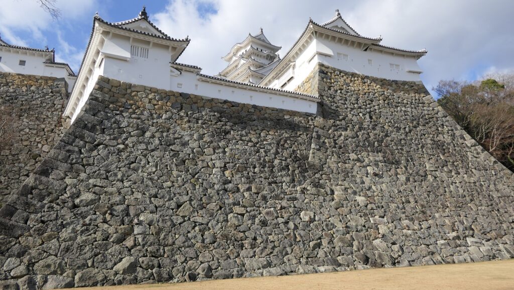
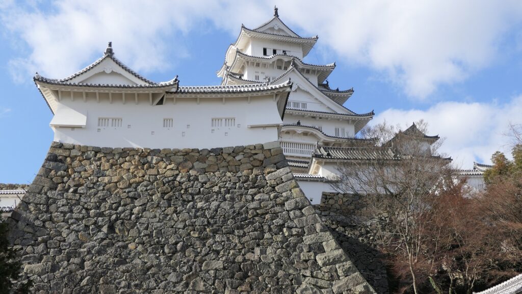
The stone walls on the eastern side of Ido Enclosure are among the highest stone walls in the castle. In addition, the right side of the Large Main Tower is outstanding where you can see the great hip-and-gable roof on the second layer. The combination of them is perfect for a picture.
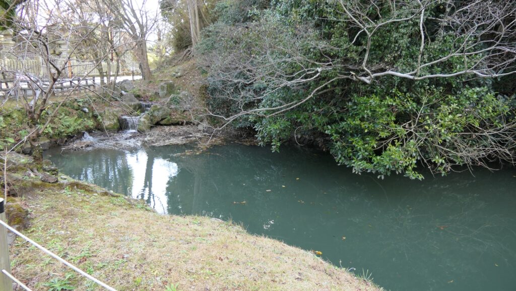
On the back side of the castle, you can see another edge of the moat. In fact, the edge is the starting point of all the swirling moats in the castle. The back of Himeyama mountain still remains natural, so its appearance with the Main Towers has a unique perspective. The area around has the doubled Inner Moats as the second turn of the moats starts there and they offered strong protection to the back of the castle.
To be continued in “Himeji Castle Part4”
Back to “Himeji Castle Part2”