Masuyama Castle was a large mountain castle which was located in Ecchu Province (what is now modern day Toyama Prefecture). In the first 16th Century, Ecchu Province didn’t have a strong warlord, but was divided between the Jinbo Clan, the Shina Clan, the Ikkoshu Sect and others. The province had the Toyama Plain in the center, which was surrounded by hills in the south, the east and the west. They built a lot of mountain castles on the area of the hills to maintain their territories. Masuyama Castle was called one of the three greatest mountain castles in Ecchu Province followed by Moriyama Castle and Matsukura Castle.
The location of the castle
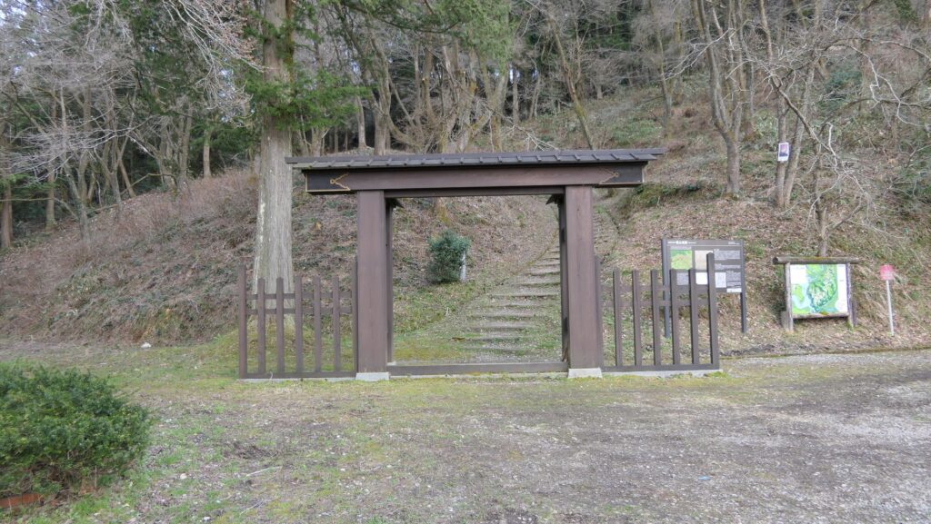
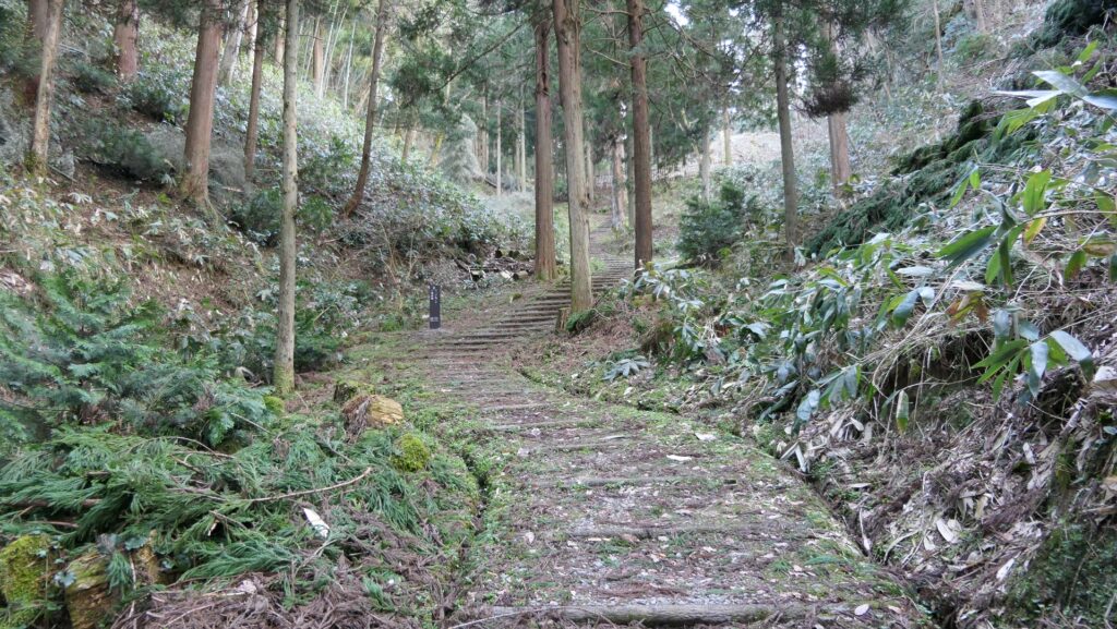
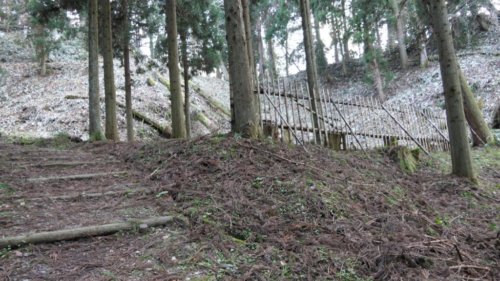
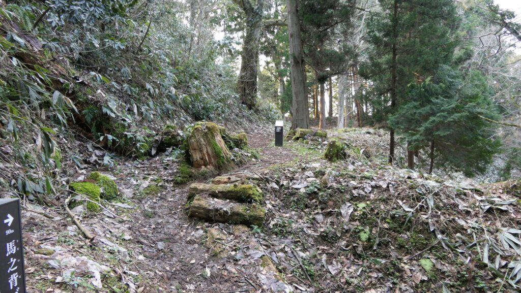
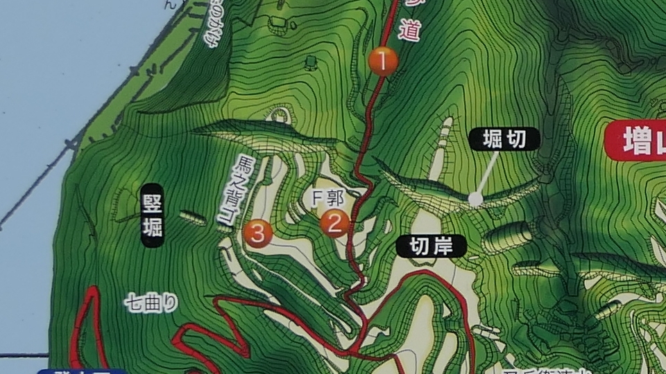
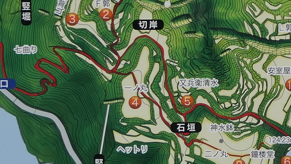
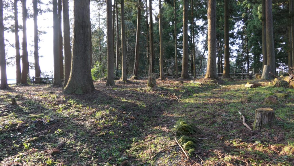
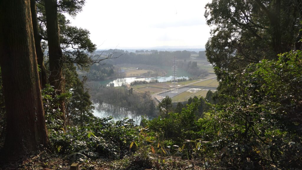
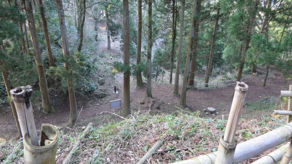
Masuyama Castle was located on the western edge of the hills sticking out of the Toyama Plain from the south. The Wada-gawa River flowed alongside the edge, so it could be a natural water moat. There were a lot of enclosures on the hill such as the First Enclosure and the Second Enclosure.
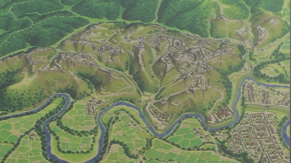
The relief map around the castle
The map around the castle
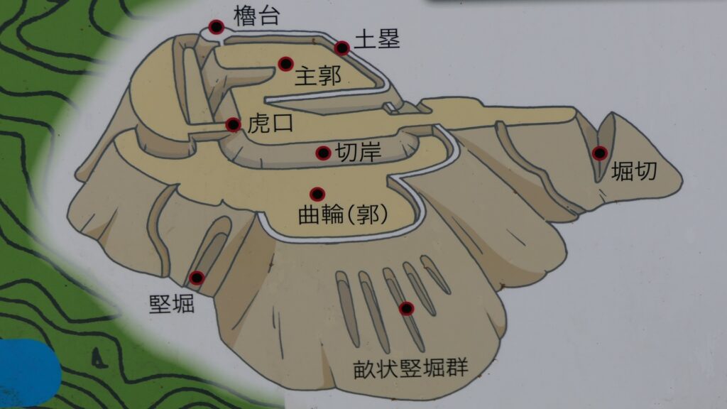
Defensive system of Masuyama Castle
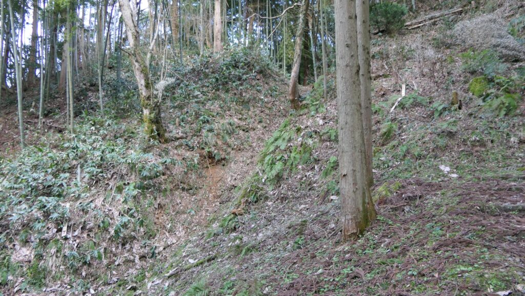
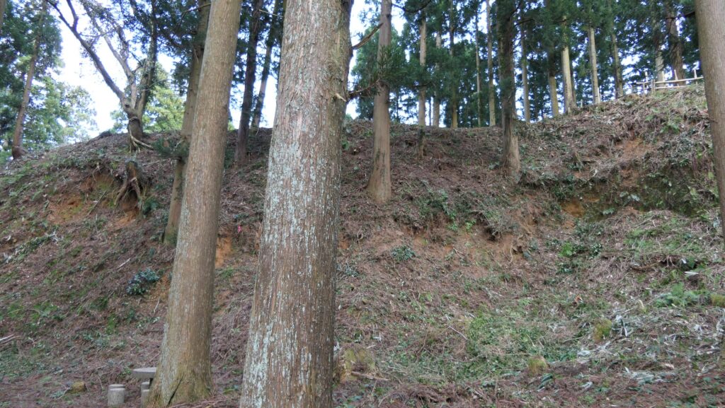
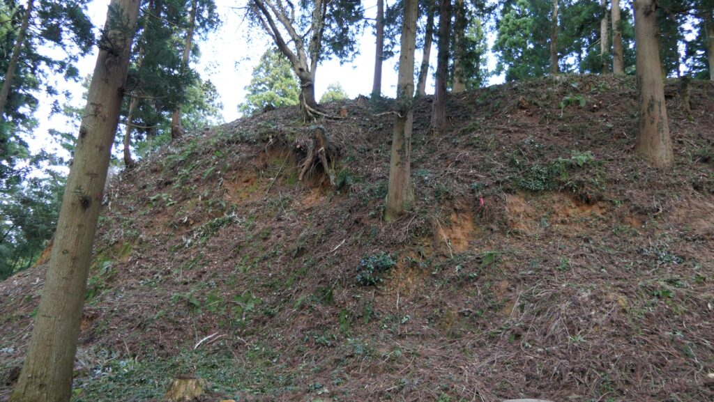
To protect these enclosures, the castle had several defensive systems using natural terrains like ridges, cliffs and valleys. For example, some ridges were cut artificially to look like a trench, called Horikiri. Some cliffs were cut vertically, called Kirigishi. Some valleys were used as the dry moats called Karabori.
A typical defensive system of mountain castles (from the signboard at the site)
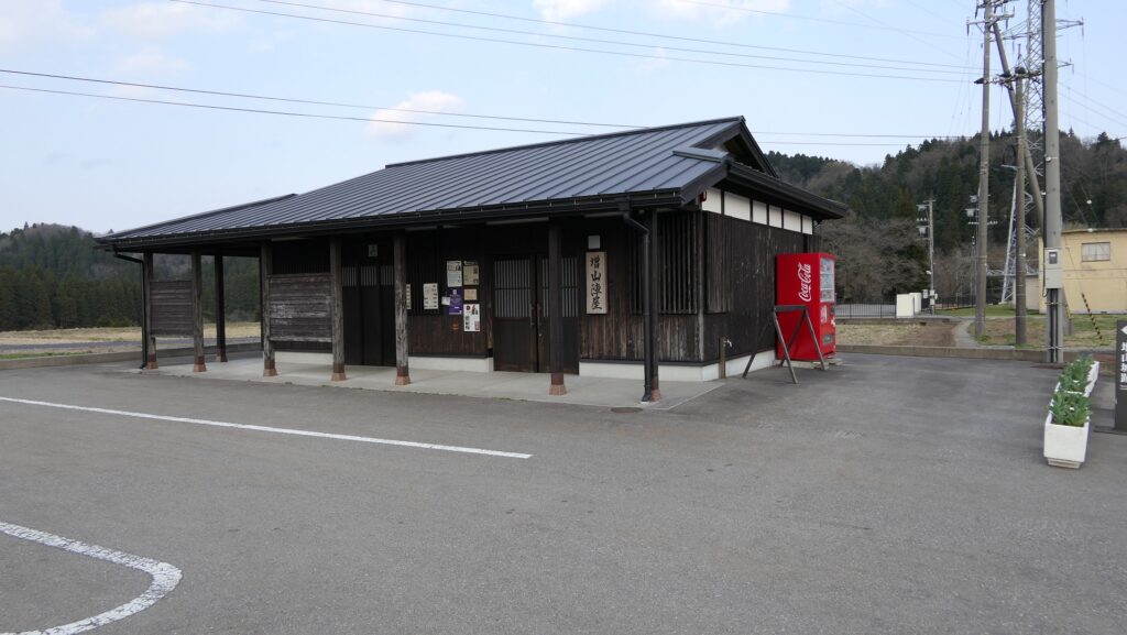
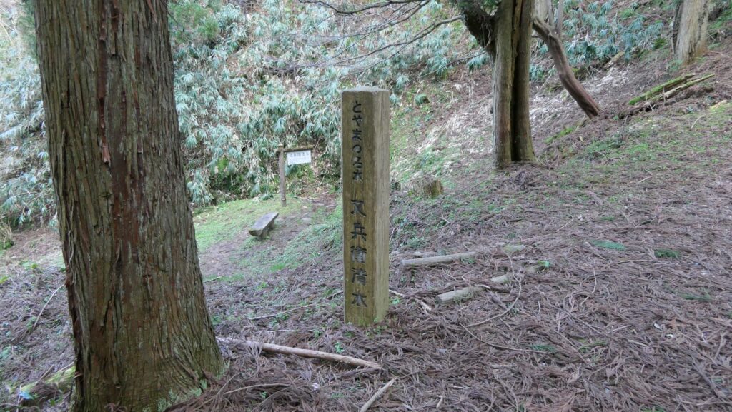
The soldiers could also get water from several wells easily in order to survive a long siege. Other castles such as Kameyama Castle were built on the hill next to Masuyama Castle so that they could work closely with each other. Even the castle town was developed on the foot of the mountain castle at its peak.
The imaginary drawing of Masuyama Castle
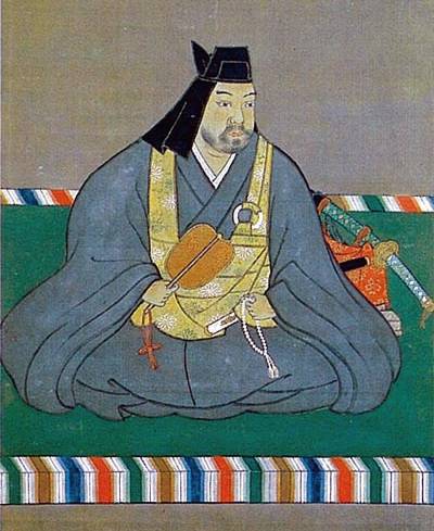
Kenshin Uesugi attacked it three times
It is uncertain when the castle was first built, but the Jinbo Clan owned the castle in the middle of the 16th Century during the Sengoku Period. In 1560, a great warlord by the name of Kenshin Uesugi invaded Ecchu Province and supporting the Shina Clan from Echigo Province (The east of Ecchu Province). The Jinbo Clan was sieged in Masuyama Castle to protect themselves. Kenshin wrote in his letter that Masuyama was an essentially dangerous place and impenetrable with lots of defenders. Kenshin attacked Masuyama Castle three times, and finally captured it in 1576.
上杉謙信肖像画、上杉神社蔵 (licensed under Public Domain via Wikimedia Commons)
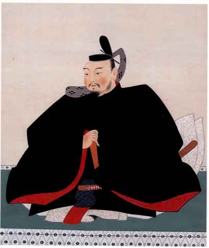
After Kenshin died in 1578, Narimasa Sassa under the Oda Clan took over Masuyama Castle from the Uesugi Clan in 1581. After that, the Maeda Clan supporting the ruler, Hideyoshi Toyotomi and the Tokugawa Shogunate later owned the castle. Some senior vassals from the Maeda Clan stayed in the castle. That meant Masuyama Castle was always an important castle to rule that area. However, the castle was finally abandoned in 1615 due to the Law of One Castle per Province created by the Tokugawa Shogunate. It was said that a wife of the senior vassal who was called Sho-hime was also a daughter of Toshiie Maeda, the founder of the Maeda Clan who managed the castle around the end of its history.
The portrait of Narimasa Sassa, owned by Toyama Municipal Folk Museum (licensed under Public Domain via Wikimedia Commons)The portrait of Toshiie Maeda, the founder of the Maeda Clan, private owned (licensed under Public Domain via Wikimedia Commons)