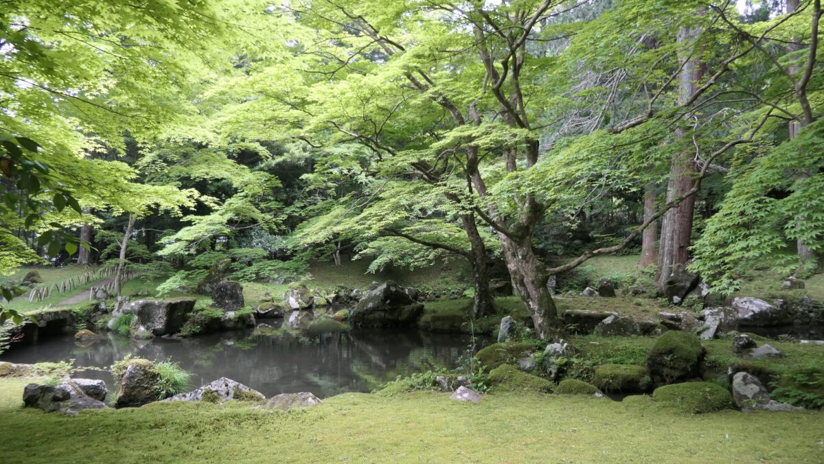
The lord of the Kitabatake Clan reigned at the clan’s hall, called the Taki Palace. The hall had a great Japanese garden which still remains. The group eventually became a great warlord clan in the early 16th Century.
Location and History
Southern Court Noble family becomes Warlord
Kitabatake Clan Hall was the home base of the Kitabatake Clan which governed Ise Province which is the modern day Mie Prefecture between the 14th and the 16th Centuries. The clan was a unique lord’s family who was originally a noble but finally became a warlord until they were taken over by Nobunaga Oda. Kitabatake Clan Hall was also uniquely located in the Taki area which was inconvenient but defensive so that clan was able to survive for a long time.
The range of Ise Province and the location of the castle
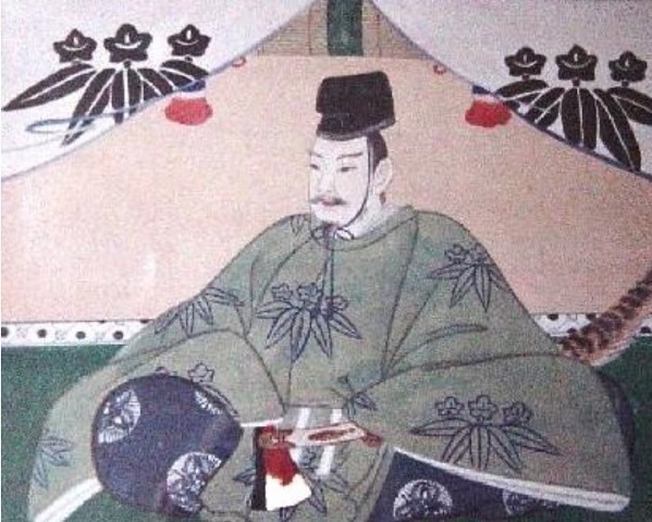
In the Period of Northern and Southern Courts during the 14th Century, Emperor Godaigo of the Southern Court sent his trusted vassal, Chikafusa Kitabatake to eastern Japan to govern the region. Chikafusa and his son, Akiie fought against the lords of the Northern Court, as a general. As a result, their relatives in the Tohoku Region remained as a noble birth lord family, called Namioka Palace, which lived in Namioka Castle until the late 16th Century. Similarly, Akiie’s little brother, Akiyoshi was sent to Ise Province and he was assigned as its Governor in 1338. Ise Province consisted of the eastern part facing the sea and having Ise Grand Shrine, one of the most important shrines for the Imperial family, and the western part of mountain areas having the routes to Yoshino in Yamato Province (now Nara Pref.), the home of the Southern Court.
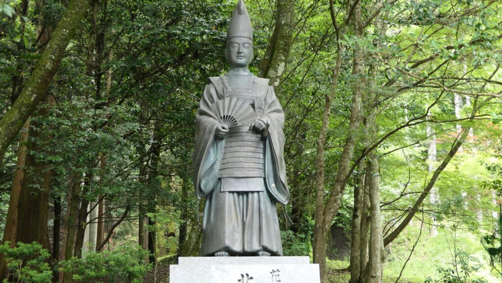
The portrait of Emperor Godaigo, owned by Shojokoji Temple (licensed under Public Domain via Wikimedia Commons)The statue of Akiie Kitabatake in Kitabatake ShrineThe ruins of Namioka Castle
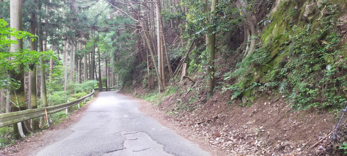
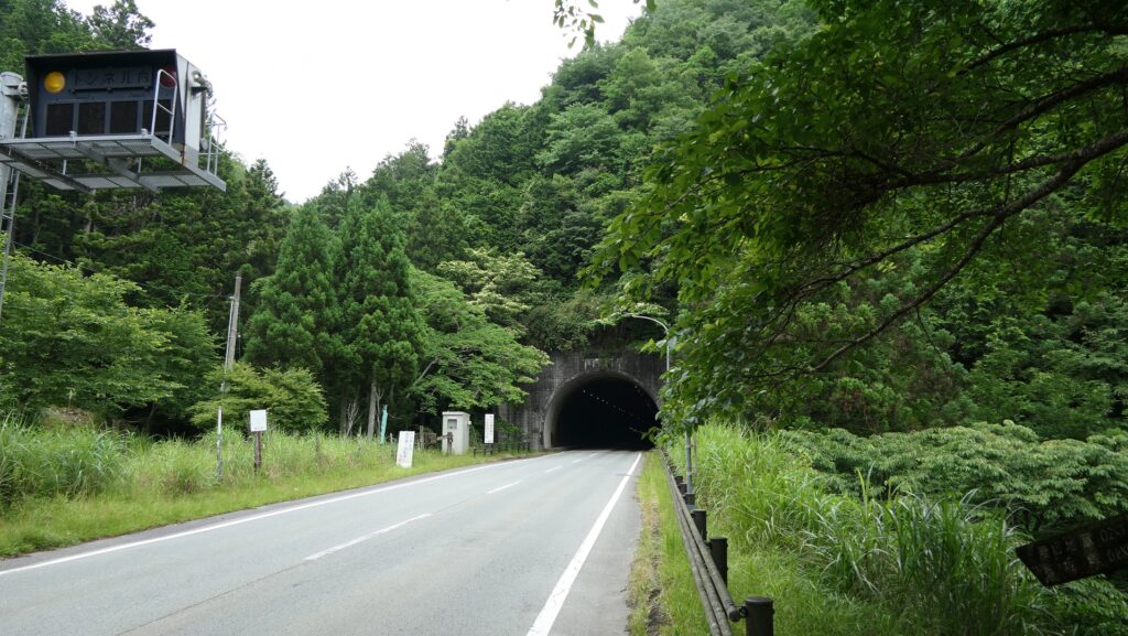
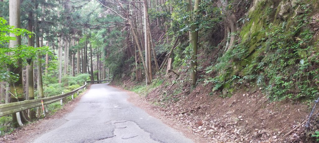
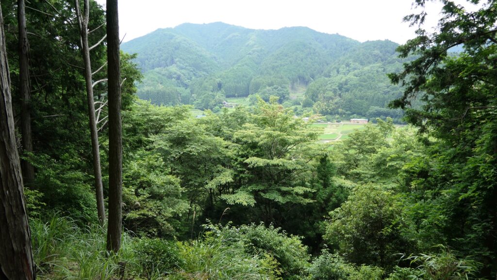
The Kitabatake Clan in Ise Province also battled the Northern Court and eventually chose their home at a place in the defensive western part, which would be the Taki area. The area was on the way to the Ise Main Road connecting Ise Grand Shrine and Yamato Province, which was considered important. However, it was a small basin along the Yatemata River, surrounded by mountains. There were 7 entrances to the area, which were all on steep mountain passes or deep valleys. That meant the area itself was very defensive.
The relief map of the Taki area with its 7 entrances
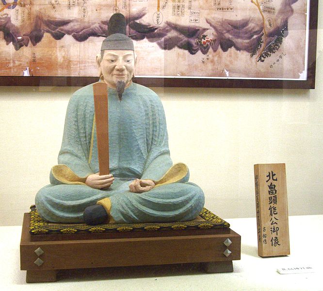
The sitting statue of Akiyoshi Kitabatake, exhibited by Misugi Home Museum (licensed via Wikimedia Commons)
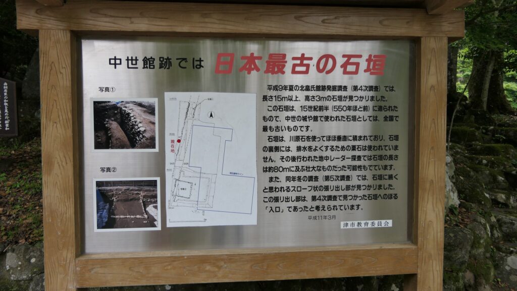
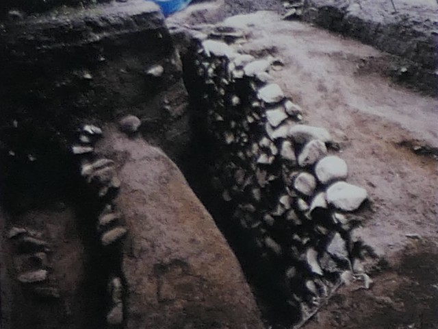
Unfortunately, the Southern Court eventually declined and the Ashikaga Shogunate supporting the Northern Court was established. The Kitabatake Clan somehow managed to survive, however, they sometimes opposed the shogunate about how to treat the descendants of the Southern Court. The clan first built their hall in a land surrounded by the Yatemata and the other two rivers in three directions and mountains in the west. The land was leveled to three tiers, the upper one was about 3m above the middle one and surrounded by long stone walls, so it seemed that the Main Hall was built on the upper tier. These stone walls are thought as one of the earliest ones built for warriors’ halls or residences. They were piled vertically using natural oval-shaped river stones, unlike typical stone walls for castles later, piled with a slant, using processed stones.
The excavated stone walls of the upper tier
Castles are built to protest Hall
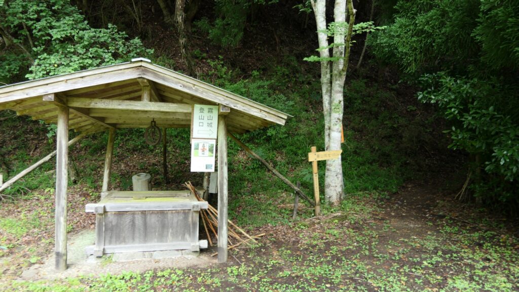
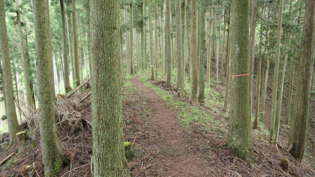
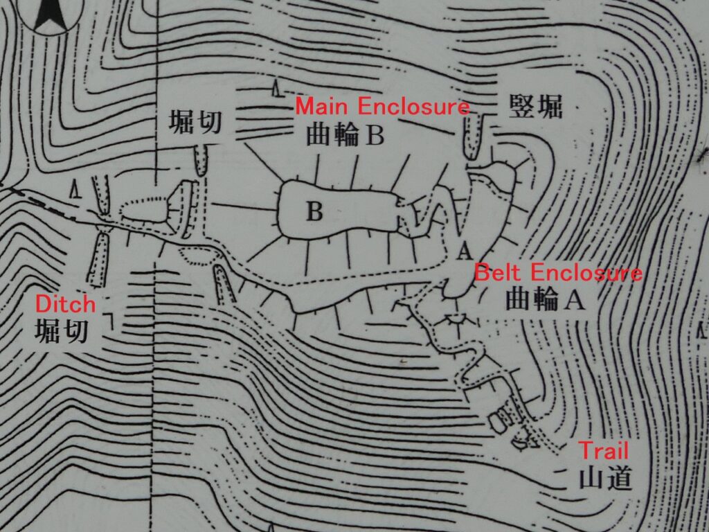
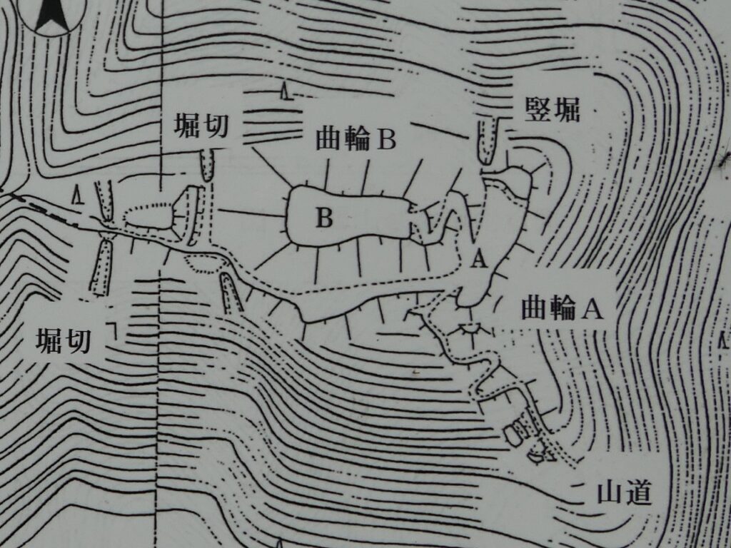
The shogunate troops sometimes attacked the territory of the Kitabatake Clan from the west. As a result, the clan started to build new castles in that direction to protect their hall. They first built the final castle for emergencies on a mountain about 80m above the hall. It had a simple main enclosure on the top and belt enclosures around with passes. The western edge of the mountain was cut by a deep ditch where only the narrow earthen bridge could be used.
The relief map around the castle
The layout of the final castle, from the signboard at the site, adding the red English letterThe ruins of the final castle
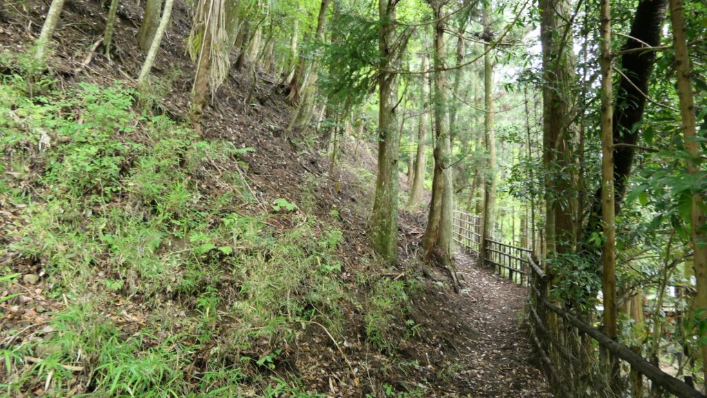
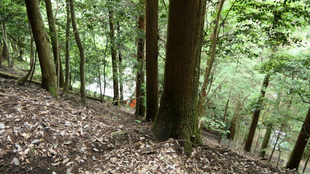
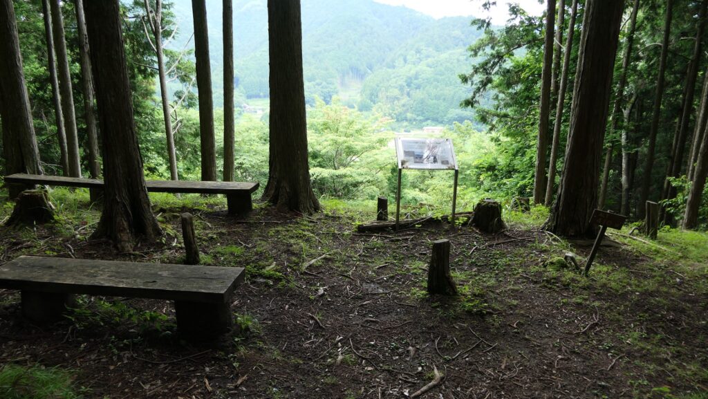
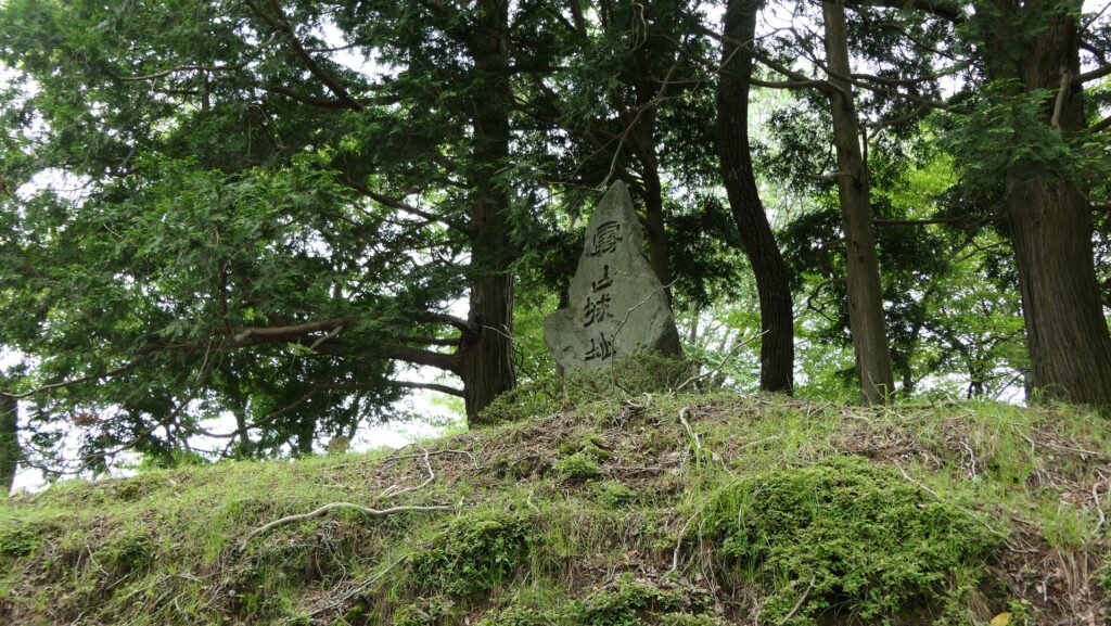
The clan also built a larger castle over the pass towards the west, called Kiriyama Castle. The castle was located on another mountain about 160m above the final castle, which was much harder to access for enemies as well as defenders. Therefore, the castle seemed to be used as a lookout usually and for being besieged in cases of emergency. As a result, the clan was able to prevent the enemies from invading the Kitabatake’s territory.
The ruins of Kiriyama Castle
Prosperity and Destruction of Kitabatake Clan
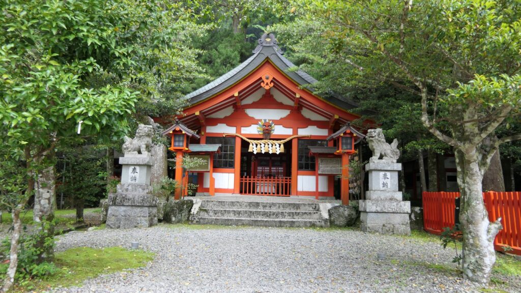
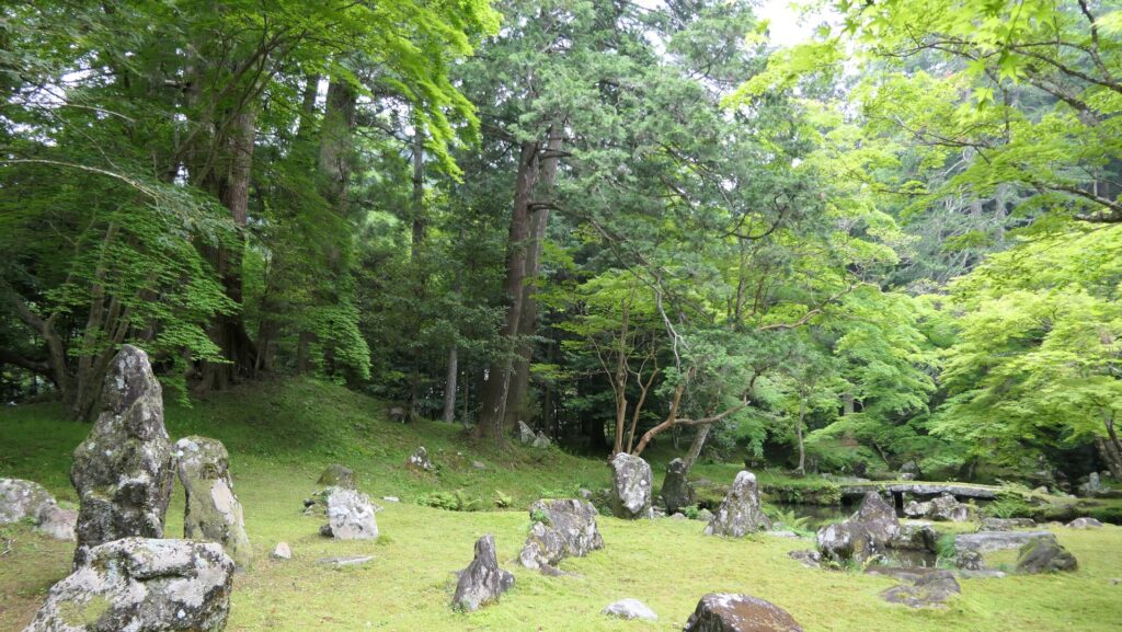
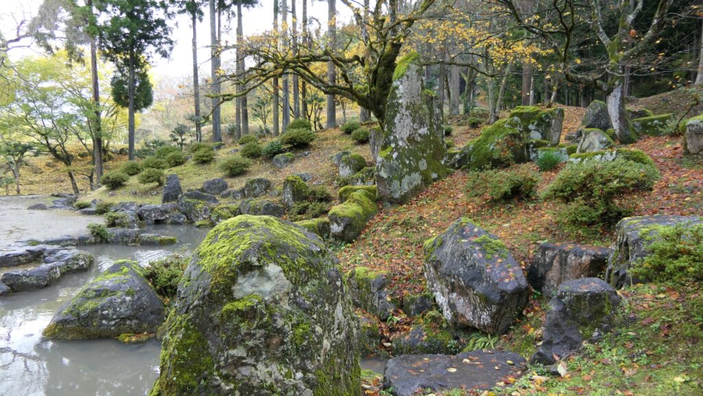
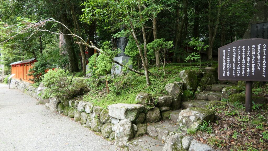
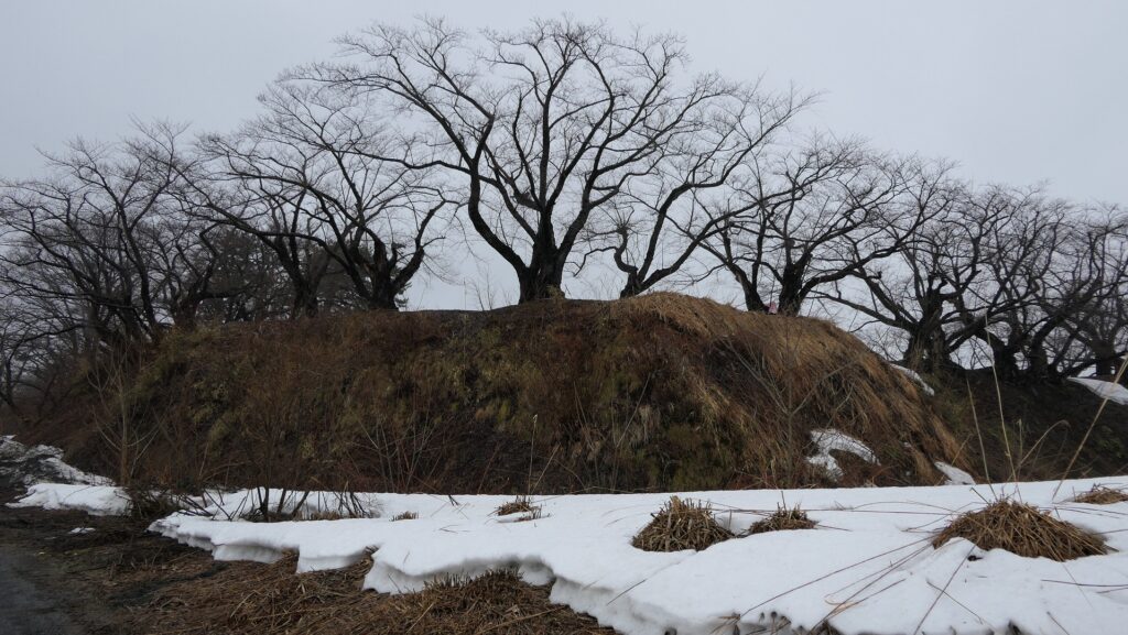
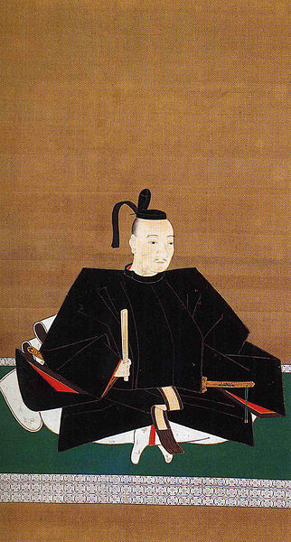
After that, the clan and the shogunate made peace with each other, which made the government of the clan in Ise Province stable. Their several branch clans, such as the Kozukuri Clan, were sent to various places of the province and the lord of the Kitabatake Clan reigned at the clan’s hall, called the Taki Palace. The hall was also expanded to have a great Japanese garden which still remains. The group eventually became a great warlord clan in the early 16th Century and its influence reached the peak in the middle of the century when the 7th lord, Tomonori Kitabatake was the lord.
The remaining Kitabatake Clan Hall Ruins GardenThe portrait of Tomonori Kitabatake, owned by Iseyoshida Library (licensed under Public Domain via Wikimedia Commons)
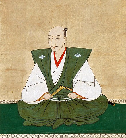
However, a new threat came from Owari Province, north of Ise. Nobunaga Oda, who would later be the ruler of Japan, started to invade Ise Province in 1568. Moreover, the relative Kozukuri Clan turned supporting Nobunaga. Tomonori had to move to his home from the hall to Okochi Castle near the battle fields. The Kitabatake and Oda Clans made peace in 1569 under the terms of Nobunaga’s son, Nobukatsu being adopted as the Kitabatake Clan’s successor. This was actually the starting point of taking the Kitabatake Clan over by the Oda Clan. Tomonori was finally killed by Nobukatsu in 1576. The castles in Ise Province, including Kitabatake Clan Hall, were captured by the Oda’s troops at the same time.
The portrait of Nobunaga Oda, attributed to Soshu Kano, owned by Chokoji Temple, in the late 16th century (licensed under Public Domain via Wikimedia Commons)The portrait of Nobukatsu Oda, owned by Sokenji Temple (licensed under Public Domain via Wikimedia Commons)