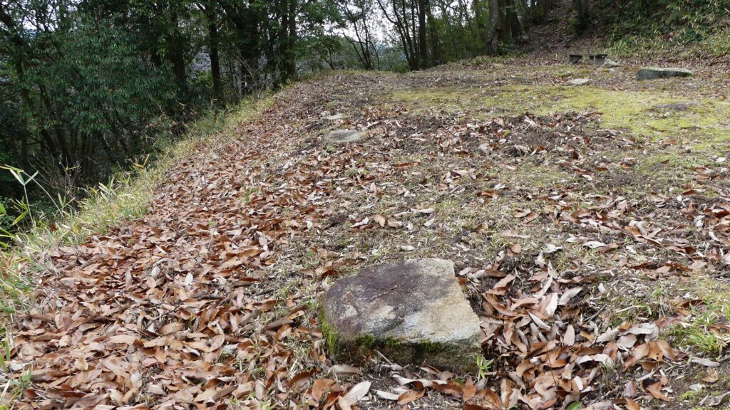
173.Nitakayama Castle Part3

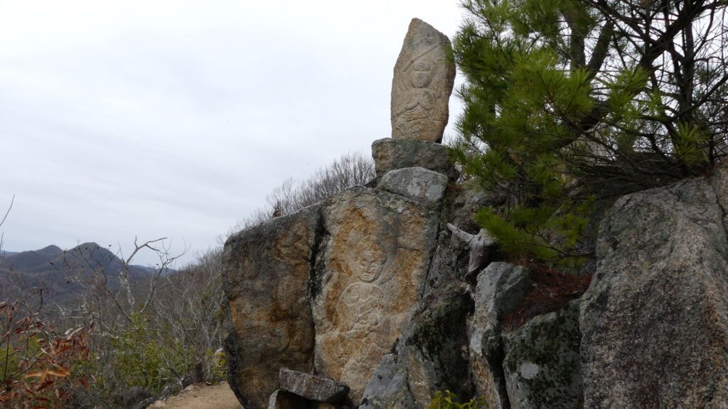
After Nitakayama Castle was abandoned, its ruins were used as a place for the practices of the mountain priests. That’s why there are stone buddha statues and monuments they built on the top of the mountain.

Features

Unique Final Enclosure

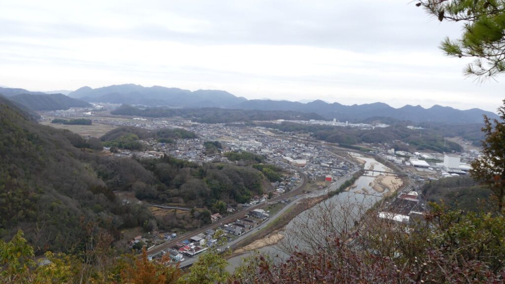
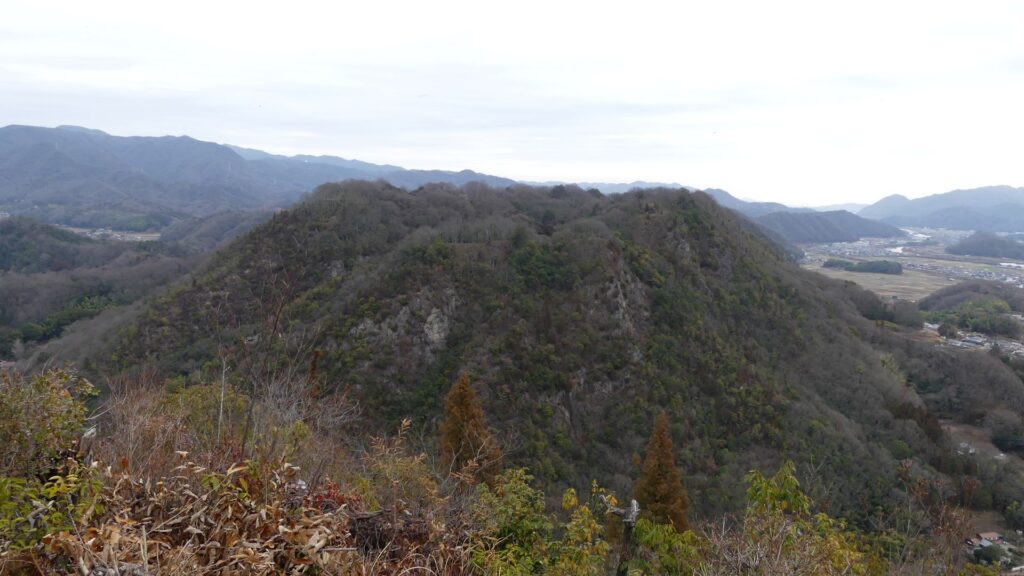
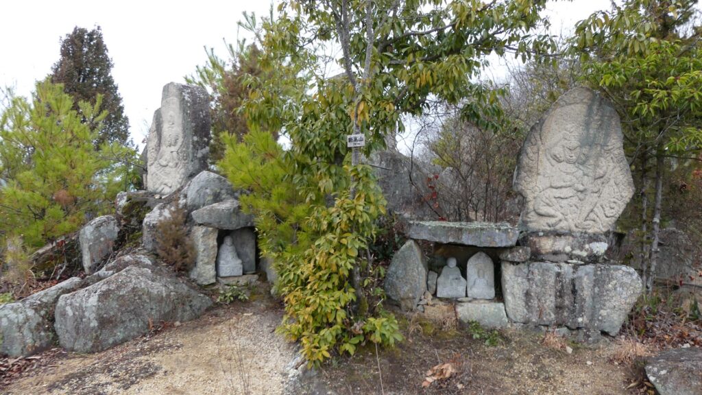
Tsume-no-maru (meaning the final enclosure) is next to the main enclosure to the southeast. It is also the top of the mountain, where you can enjoy great views of the surrounding area, such as Takayama Castle Ruins, Nuta River, and even Seto Inland Sea. It is also a more interesting place than only the top area. It is the rockiest and steepest area of this mountain. Furthermore, it has lots of stone buddha statues and monuments which mountain priests built. That’s why this site has become unique.

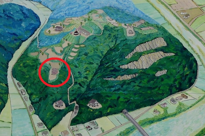
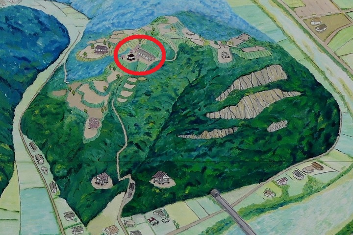
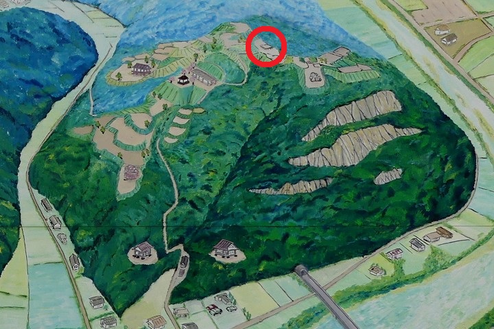
The map around the castle
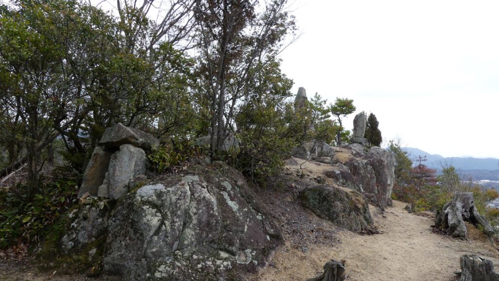
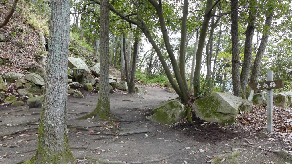
The Tsume-no-maru (final) Enclosure
The top of NItakayama Mountain
A view of the Nuta River towards the Seto Inland Sea from the top
The ruins of Takayama Castle
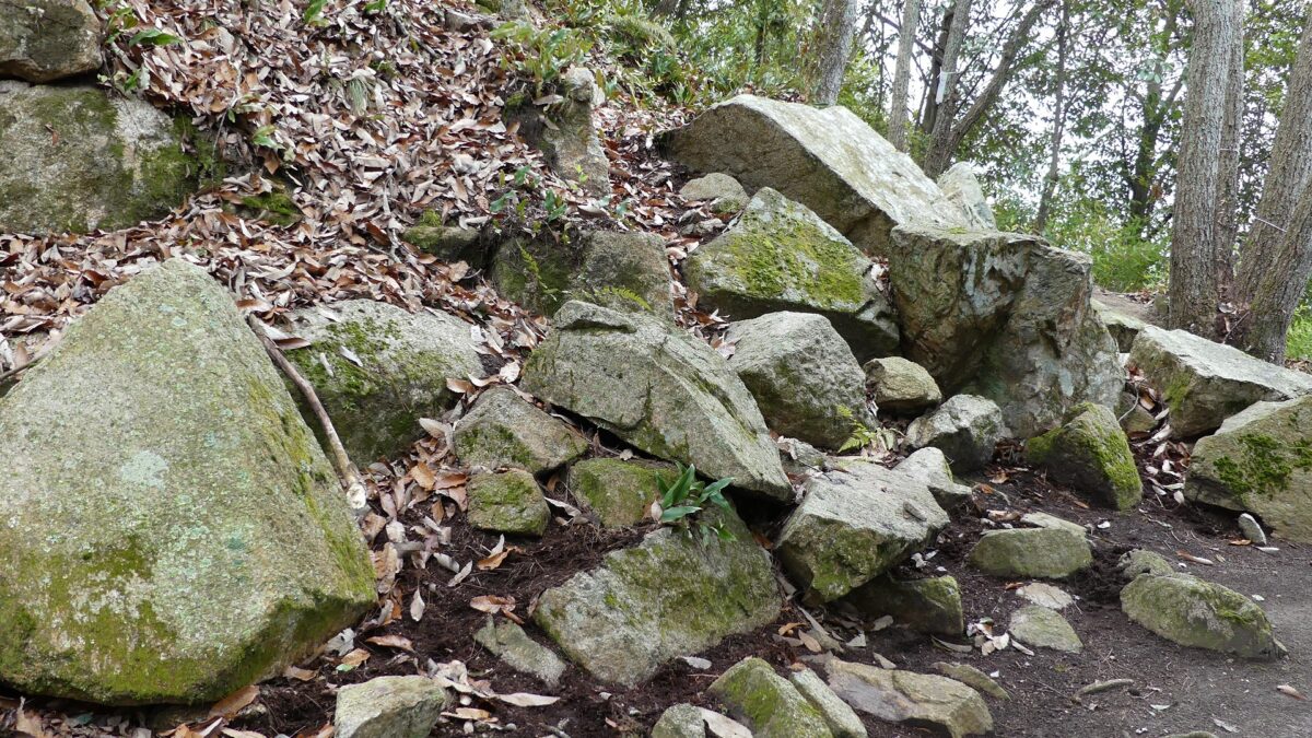
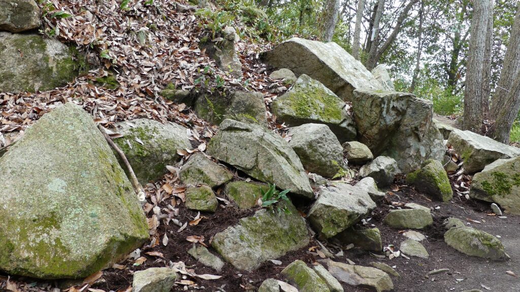
The stone buddha statues around the top

Well Enclosure, Lifeline of Castle

Tsurii-no-dan (meaning the well enclosure) is next to the main enclosure to the north. You can go there from the back gate of the main enclosure by walking down another Masugata system. This Masugata is different. It is called the inter type which is highly improved than that of the main gate (the outer type). It also still has clearly remaining earthen walls which form its square shape.
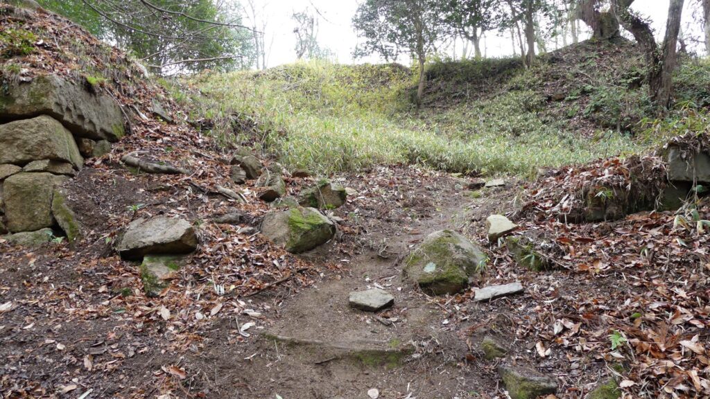
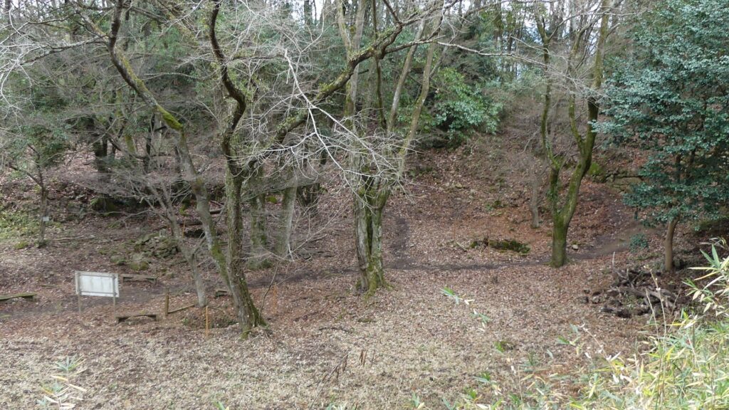
The ruins of the back gate of the main enclosure
The Masugata system of the back gate, seen from its side

Tsurii-no-dan Enclosure is lower than others, like a valley, which still has six large well ruins. It was very important for the castle not only to be besieged for a long time, but also to be able to live in.
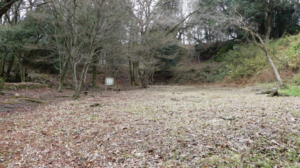
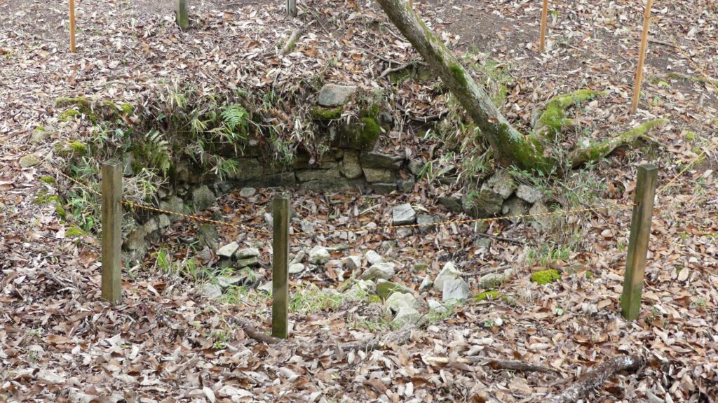
The Tsurii-no-dan (well) Enclosure
One of the six well ruins in the enclosure

Later History

After Nitakayama Castle was abandoned, its ruins were used as a place for the practices of the mountain priests. That’s why you saw the stone buddha statues and monuments on the top they built. They also built chain fields on the steepest route to the top which experienced climbers still use today. However, general visitors shouldn’t use it. As for the castle ruins, they were designated as National Historic Sites with Mihara and Takayama Castles in 1957.
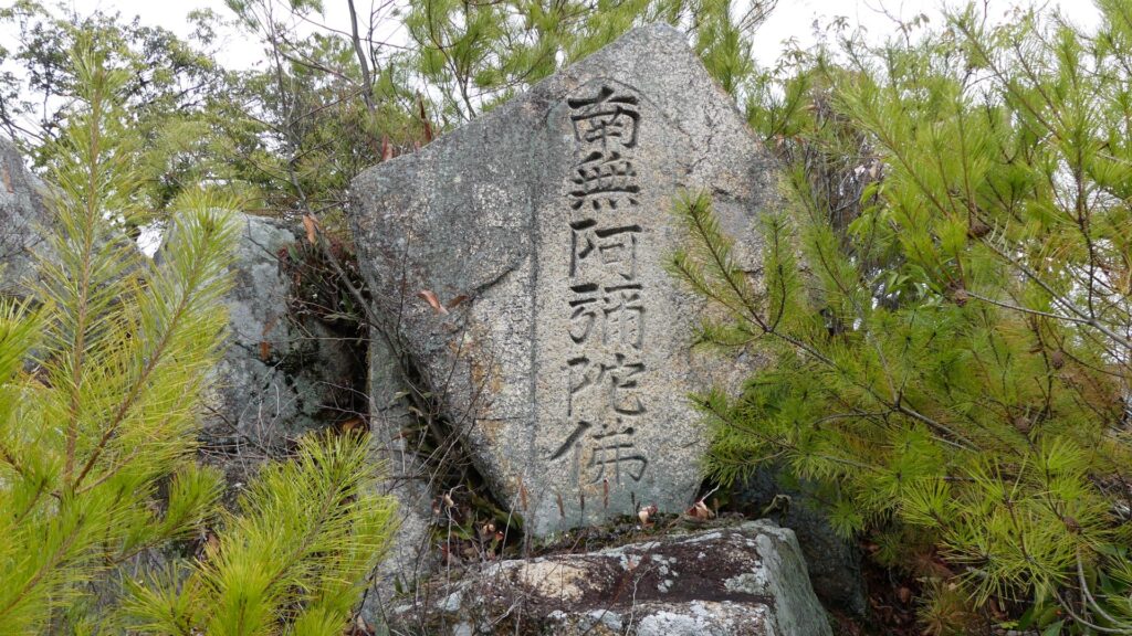
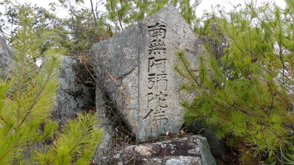
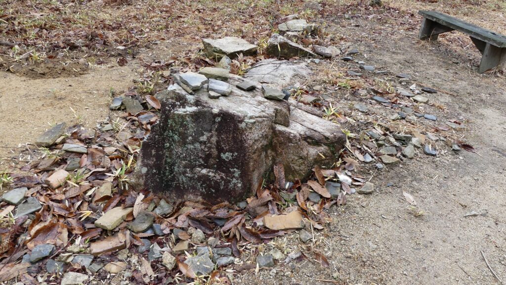
A monument on the top
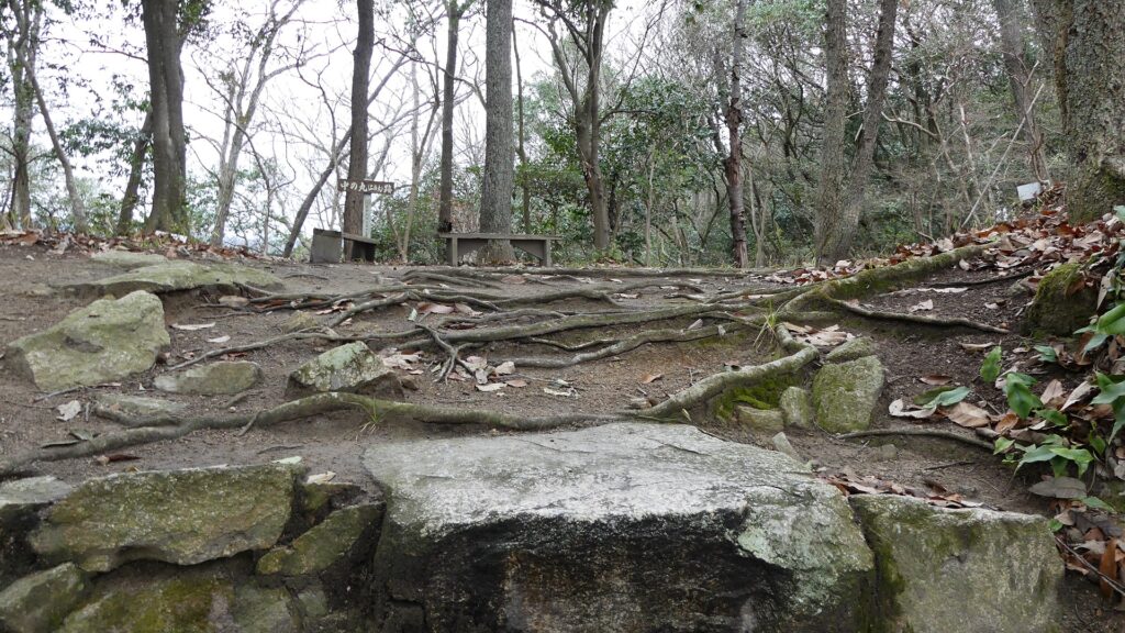
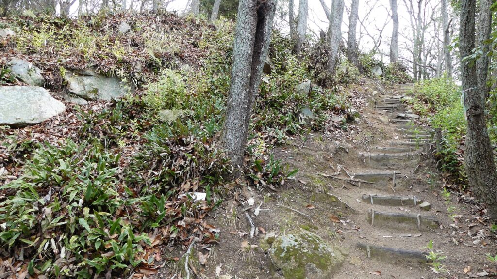
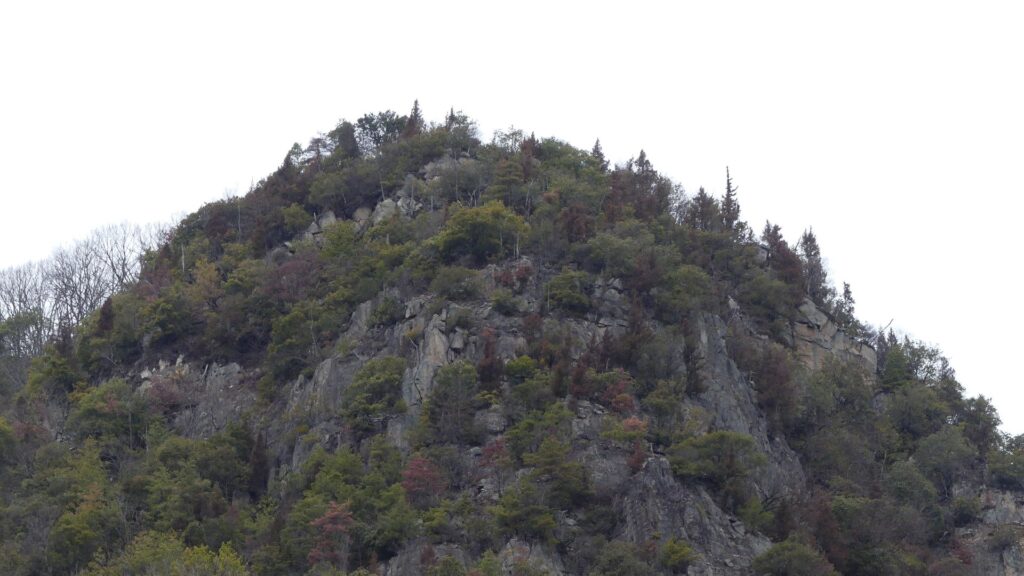
The top area of Nitakayama Mountain, looking very steep

My Impression

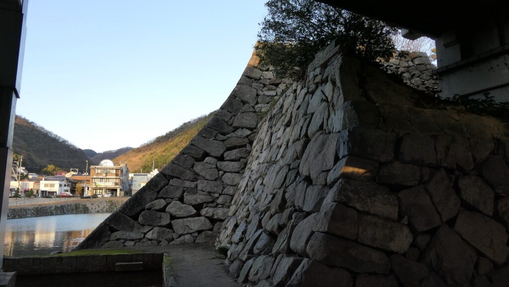
Mihara Castle was the final castle of Takakage Kobayakawa. However, I’m not quite sure what the castle looked like when he lived there because it was greatly improved by Fukushima and Asano Clans after Takakage died. Therefore, we can’t find how and where the huge stones from Nitakayama Castle were used in Mihara Castle. That means the ruins of Nitakayama Castle are valuable to see the legacies of Takakage’s period. As for myself, I would like to visit the ruins of Takayama Castle next to Nitakayama Castle someday.
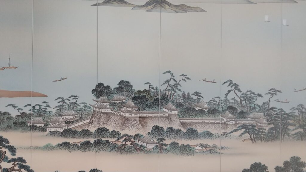
A picture of Mihara Castle, drawn on the wall of Mihara Station
The part of the Main Tower base of Mihara Castle, which was built by Takakage Kobayakawa

How to get There

If you want to visit there by car, it is about a 4km drive away from Hongo IC on the Sanyo Expressway. There is a parking lot for visitors near the entrance of the hiking course.
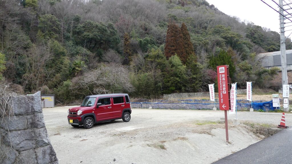
The parking lot for visitors

By public transportation, it takes about 25 minutes on foot from JR Hongo Station.
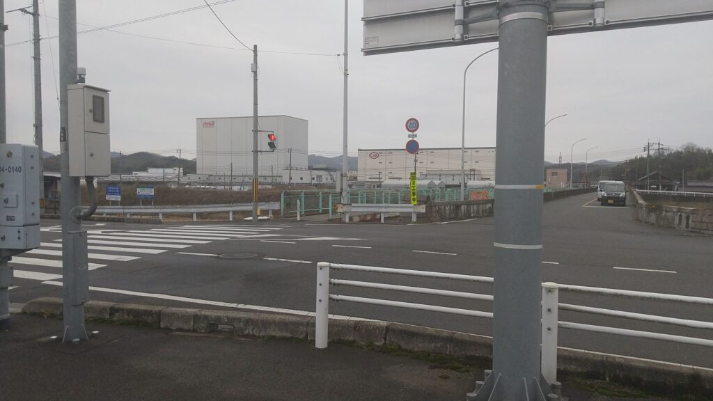
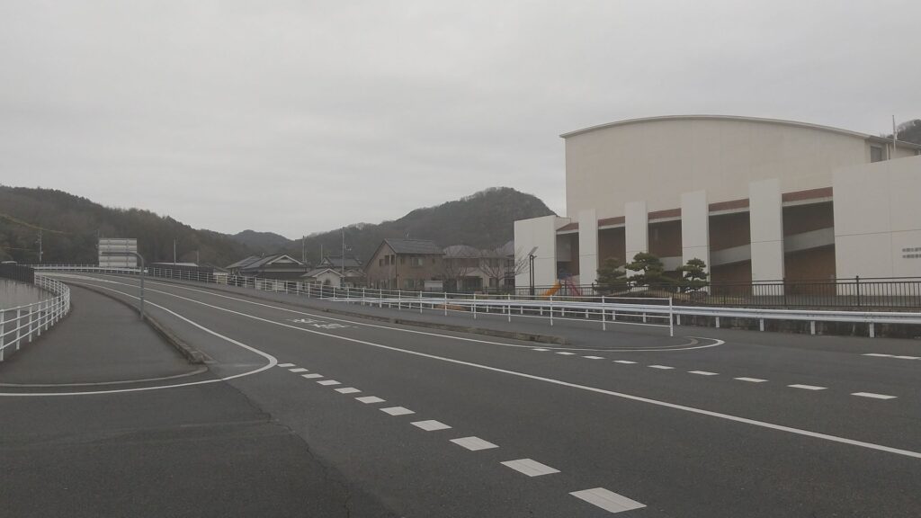
After you get out of the station, turn right and go along the street in front of the station. Then, turn left at the first intersection, and the street leads to a bridge over the Nuta River while it follows a winding road. It may be better for you to walk the sidewalk on the left because the next intersection has a crosswalk only on this side.
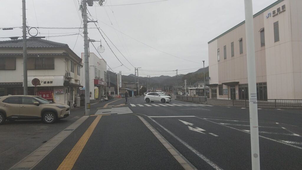
Go along the street in front of the station
Walk the sidewalk on the left after turning left
The crosswalk in fron t of the bridge

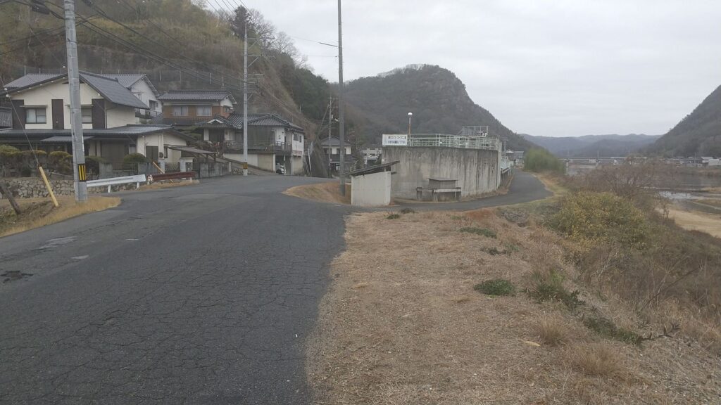
If you walk across it, you will go on the bridge seeing a good view of Nitakayama and Takayama Mountains on the right. After that, turn right, go across another crosswalk and go on a path on the bank beside the river towards the mountains. This path will split into two, but eventually they will meet in front of a shrine. You will eventually arrive at the entrance of the hiking course.
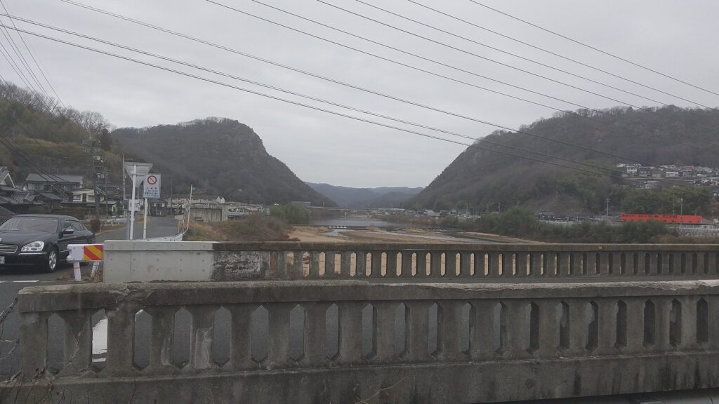
Nitakayama Mountain on the left and Takayama Mountain on the right, seen from the bridge
You can choose either path on the bank
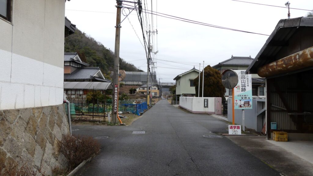
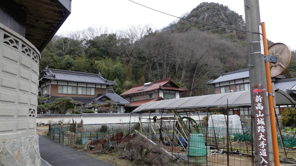
Arriving at the starting point to the castle ruins

From Tokyo or Osaka to the station: get Sanyo Shinkansen bullet train and transfer to the Sanyo Line at Mihara Station.

That’s all. Thank you.
Back to “Nitakayama Castle Part1”
Back to “Nitakayama Castle Part2”

173.新高山城 その3

新高山城が廃城となった後、城跡は山伏たちの修業の場として使われました。そのため、山の頂上には彼らが作ったたくさんの仏像や石碑があります。

特徴、見どころ

ユニークな詰の丸

詰の丸は、本丸のとなり、南西方向にあります。ここは山頂に当たります。ここからは、高山城跡、沼田川、そして(天気がよければ)瀬戸内海までも見渡す素晴らしい景色を堪能できます。それにここは単に一番高いという以上に興味を惹かれる場所で、最も岩がゴツゴツしていて険しい所でもあります。更には、ここには修験道の山伏たちによって作られた数多くの仏像や題目碑があります。これらがここをとてもユニークな場所にしています。

城周辺の地図

詰の丸
新高山山頂
沼田川、瀬戸内海方面の景色
高山城跡
山上の石仏群

城の生命線、釣井の段

釣井(つりい)の段も本丸のとなり、北方向にある曲輪です。ここに行くには、もう一つの桝形を下って、本丸の搦手門跡から出ていきます。この桝形は、先ほどの大手門跡にあった方(外桝形)とはタイプが違っていて、内桝形に分類されます。内桝形の方が、より進化したタイプとなります。その四角い形が土塁によって形作られていて、今でもはっきりと確認することができます。

本丸の搦手門跡
横から見た桝形

釣井の段は、他の曲輪よりも低い位置にあり、谷間のような感じです。ここには大きな井戸跡が6つも残っています。この曲輪は、長い籠城戦に耐えるためだけではなく、日常的に城内で生活するためにもとても重要な場所でした。

釣井の段
6つの井戸跡のうちの一つ

その後

新高山城が廃城となった後、城跡は山伏たちの修業の場として使われました。そのために、山の頂上に彼らが作った仏像や石碑があったのです。山伏たちはまた、頂上に向かうための最も険しいルートに鎖場を設けました。そしてそれは、熟練の登山家が今でも利用しているそうですが、普通のビジターが通れるようなところではありません。城跡そのものに関しては、1957年に三原城、高山城とともに国の史跡に指定されました。

山頂にある題目碑
とても険しく見える山頂周辺

私の感想

三原城は、小早川隆景の終の棲家となりました。しかし、その時城がどんな姿をしていたかはわかっていません。隆景の死後、福島氏や浅野氏によって大拡張が行われたからです。そのため、新高山城から持ち込まれた大石が三原城でどのように使われたのかもわからないのです。つまり、新高山城跡というのは、隆景の時代の遺産として大変貴重なものなのです。私に関して言えば、いつか新高山城に続いて、高山城跡を訪れてみたいと思っています。

三原駅に描かれているかつての三原城の姿(福島氏、浅野氏による拡張後)
三原城天守台西側(写真)は小早川時代に作られたとのことです

ここに行くには

車で行く場合:山陽自動車道の本郷ICから約4kmのところにあります。ハイキングコースの入口近くにビジター用の駐車場があります。

ビジター用駐車場

公共交通機関を使う場合は、JR本郷駅から歩いて約25分かかります。
駅から出た後は、右に曲がって駅の前の通りに沿って進んでください。そして、最初の交差点を左に曲がります。曲がっていく道に沿っていくと、沼田川を渡る橋に至ります。この交差点には左側にしか横断歩道がないので、あらかじめ左側の歩道を歩いておいた方がいいです。

駅前の通りを進みます
左折した後は左側の歩道を進んでください
端の前の横断歩道

横断歩道を渡ると、右側に新高山と高山の景色を見ながら橋を渡ります。渡り終わったら右に曲がって再び横断歩道を渡り、山に向かって川の土手の上を通る道を進みます。道は二手に分かれますが、どちらを歩いても神社の手間で合流します。そうするうちに、ハイキングコース(大手道)の入口に到着します。

橋から見える新高山(左)と高山(右)
土手の上の左右どちらの道を進んでも大丈夫です
大手道入口に到着します

東京または大阪から本郷駅まで:山陽新幹線に乗って、三原駅で山陽本線に乗り換えてください。

リンク、参考情報

本郷町観光協会(ホームページ)
・「小早川隆景のすべて」新人物往来社編
・「備陽史探訪の会 早春の沼田本郷に小早川氏の夢を訪ねる」

これで終わります。ありがとうございました。
「新高山城その1」に戻ります。
「新高山城その2」に戻ります。

173.Nitakayama Castle Part2

Today, the ruins of Nitakayama Castle have been well developed for visitors as a hiking course. The course is the same or similar to the original main route of the castle. If you go on a path from the entrance of the route, you will find the path going beside a ridge on the right.

Features

Defensive system using Natural Terrain

Today, the ruins of Nitakayama Castle have been well developed for visitors as a hiking course. The course is the same or similar to the original main route of the castle. If you go on a path from the entrance of the route, you will find the path going beside a ridge on the right. There is a shrine called Kojinsha on the ridge, but it was said to be a barbican enclosure to protect the route from enemies.

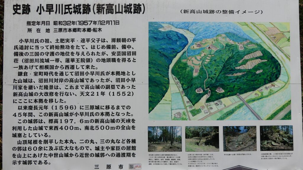
The map around the castle

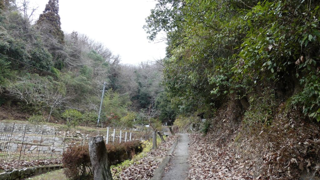
The entrance of the main route
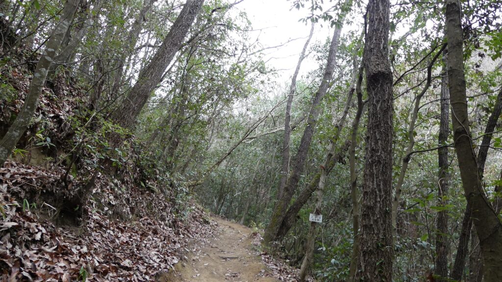
The route goes beside the ridge on the right
The Kojinsha Shrine on the ridge

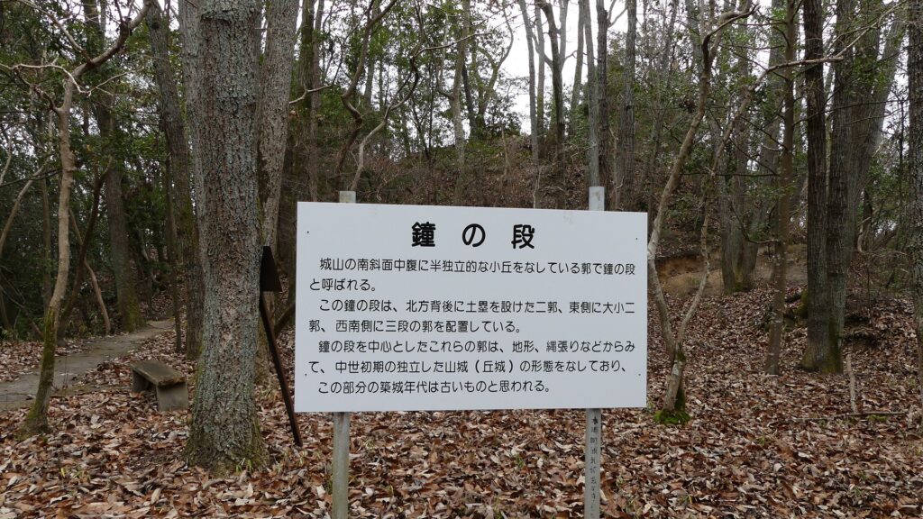
After you see a large direction board, you will continue to walk the route beside another ridge on the left. The ridge was used as Kane-no-dan (meaning the bell enclosure) to control the route. This enclosure was said to be one of the oldest parts in the castle, which might have been used as a branch of Takayama Castle, the former home of the Kobayakawa Clan.

The direction board on the way
The bell enclosure is on the ridge on the left
The bell enclosure
The bell enclosure on the location map in the direction board, marked by the red circle

The route next goes on a bridge over a river on the valley, to another ridge. The bridge might have been destroyed when a battle happened. The route goes beside the three-tiered ridge on the right, which were protected by guard houses similar to barracks. As you saw so far, the route was built strongly by using only natural terrain.

The road goes over the river on the valley
The ruins of the guard houses are on the right
The ruins of the guard houses
The guard house ruins on the location map in the direction board, marked by the red circle

Takakage Kobayakawa hosted his father there

You will soon reach a spacious area on the middle of the mountain, called “Kyoshinji-Temple Ruins”. This temple was built in 1577 by Takakage Kobayakawa, the lord of the castle, to pray for the repose of his father, Motonari’s soul after his death. The temple was moved to another place near Mihara Castle after Nitakayama Castle was abandoned. You can still see lots of fragments of roof tiles and some remaining stones or rocks on the ground, which the temple left. In addition, the record of Motonari’s stay in this castle in 1561 says that there was a temple in the castle, where Takakage’s brother, Takamoto stayed in, and which had the same or similar name as the one mentioned above. Therefore, Historians speculate that there was also the Kaisho building, where their ceremonies were held, in this site at that time.

The ruins of Kyoshinji Temple
You can see lots of fragments of roof tiles
Some stones or rocks, used for the temple, remain
The Kyoshinji Temple Ruins on the location map in the direction board, marked by the red circle

You can go further to the top area of the castle via a zigzagged path. You will eventually be at Naka-no-maru (meaning the central enclosure) which is placed between the main enclosure on the right (or the east) and the western enclosure on the left (or the west). This enclosure seemed to have been a pivot point of the castle. The western enclosure was built to monitor and control another route to the castle from this direction. This route is gentler than the main route you used, so many artificial vertical moats were built on the slope to prevent enemies from invading the castle easily. However, you still need to hire a guide to see them clearly because the western area has still not been developed for general visitors.

The central enclosure
The western enclosure
The central enclosure on the location map in the direction board, marked by the red circle

Main Enclosure with few remaining Stone Walls

You will finally walk up to the main enclosure which was surrounded by stone walls using huge stones or rocks. Most of them were removed and brought to Mihara Castle when Nitakayama Castle was abandoned. However, you can still see a few remaining stone walls on its base, so you may imagine what the original stone walls looked like. The entrance of the enclosure has been built as a defensive square space, called Masugata, where the main gate building was also constructed. It was said that the building was moved to the current Koshinji Temple (now called Sokoji) as its gate. The inside of the main enclosure is an empty space, where only stone foundations remain at its corner. These foundations were probably used for the main hall or the pavilion where Takakage hosted his father.

Going to the main enclosure
The few remaining stone walls on the base
Walking up to the entrance of the main enclosure
The entrance seen from the inside, the square shape of the entrance slightly remains
The stone foundations in the main enclosure

To be continued in “Nitakayama Castle Part3”
Back to “Nitakayama Castle Part1”