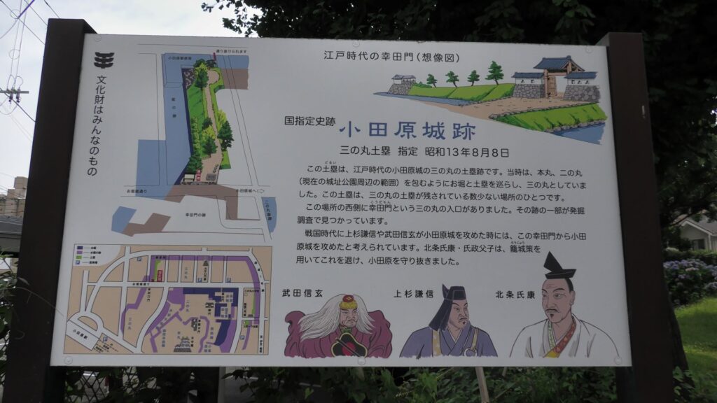
Features
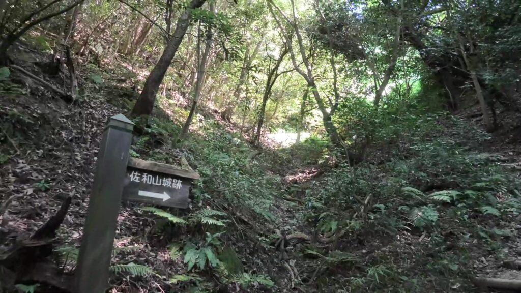
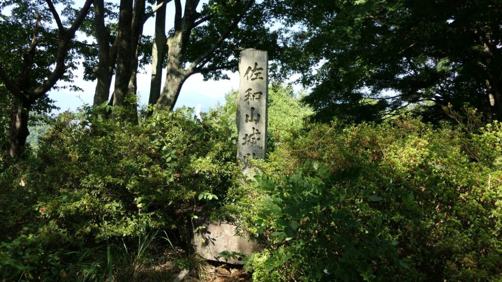
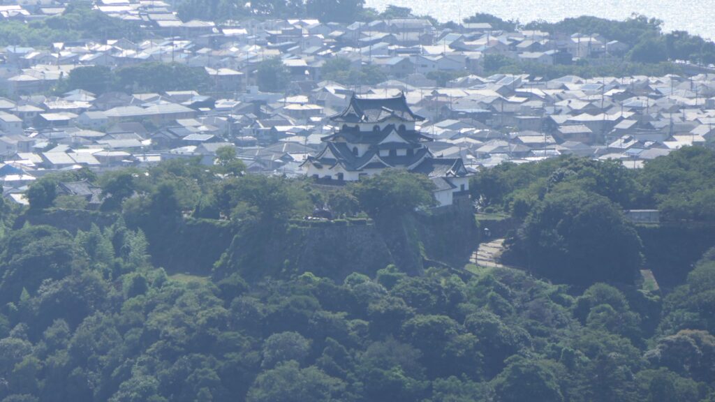
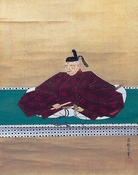
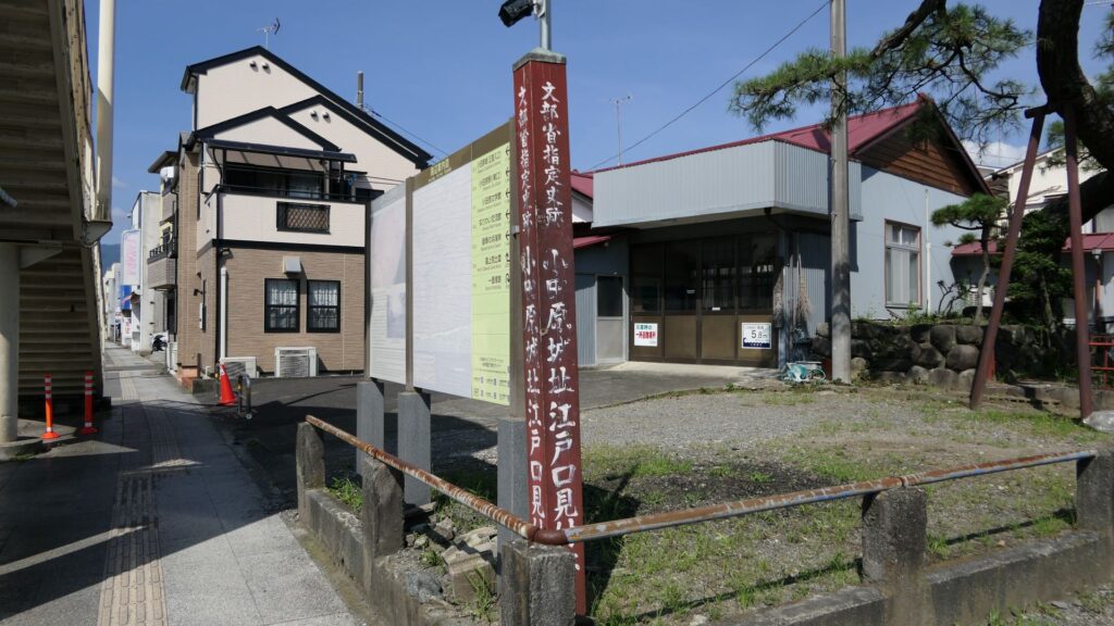
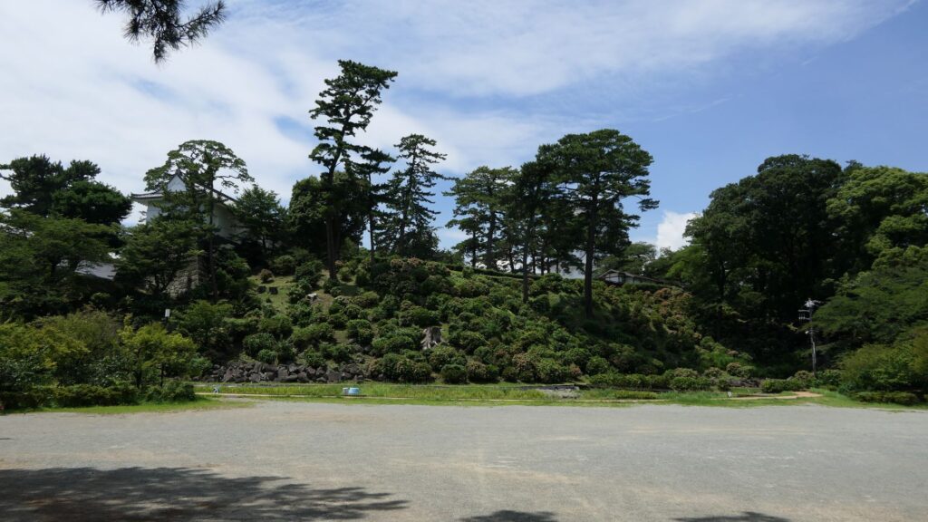
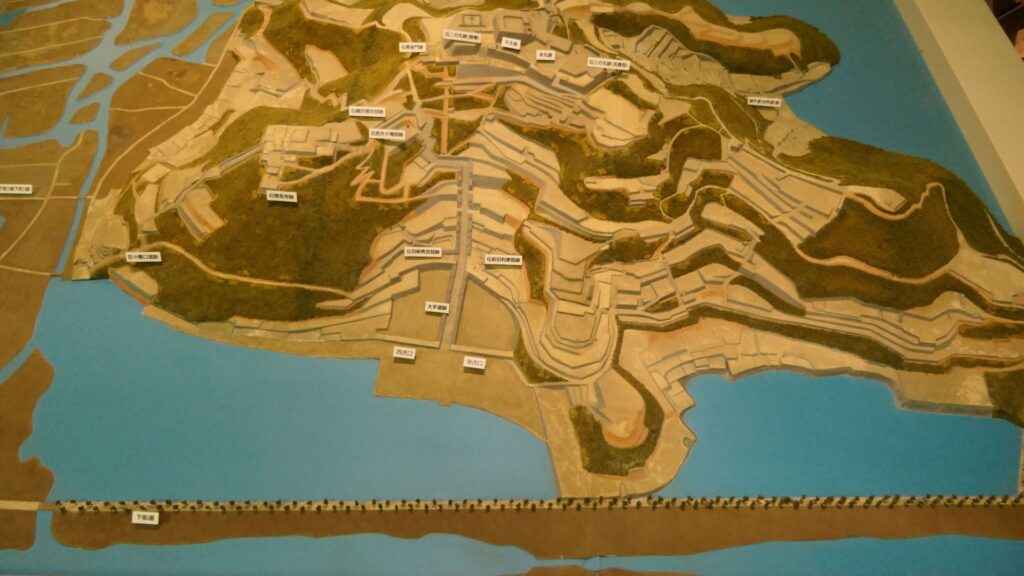
The ruins of Azuchi Castle have become a National special historic site. There is a square in front of them, however, there were water moats and stone walls in the past. Azuchi Castle was located between Kyoto and Gifu Castle which was the previous home of Nobunaga Oda. Therefore, he could easily access both sites immediately. In addition, he created the network for water transportation on Biwa Lake, including Azuchi and several of his retainers’ castles. This article will introduce the path of the ruins while incorporating with the mysteries of the castle in the previous article.
Walking up on the Main Route
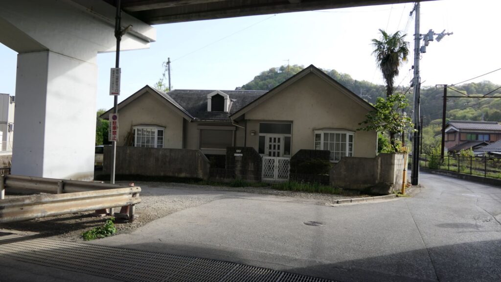
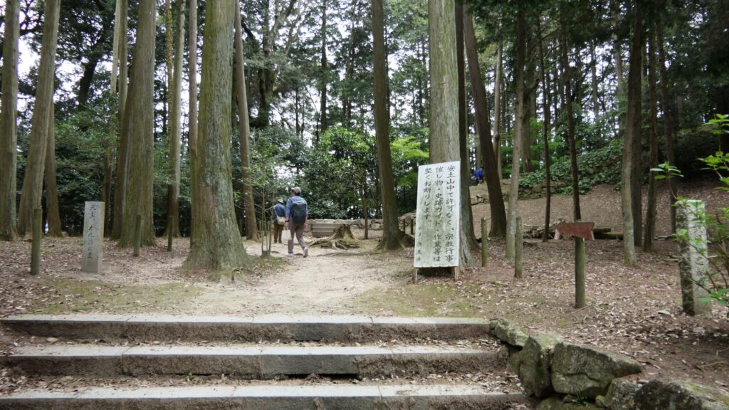
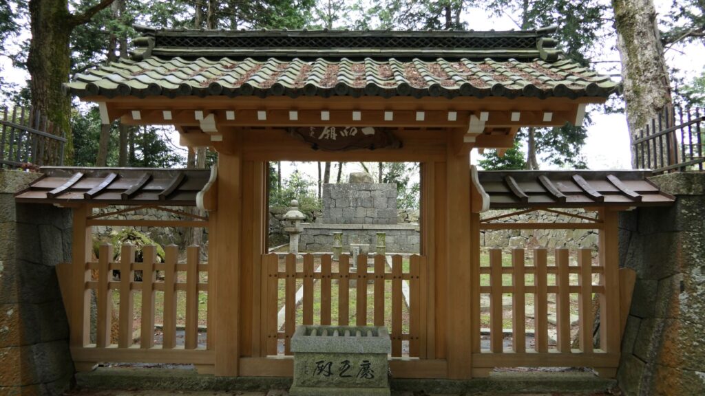
Before climbing the route, let us check out other historical items around the main gate ruins. They are the four gate ruins, including the main gate. Three of the four gates had a simple design which was not strong. The eastern gate and central gate (which was the main gate) had a simple design. Meanwhile, there were a simple gate, and the other had complex design, in line in the western place. You can see both ruins with the remaining stone walls. You can pass straight through the simple gate while you need to turn twice to pass the complex one. So, why did Nobunaga build the two different gates so closely together?
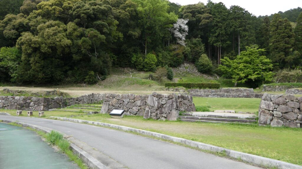
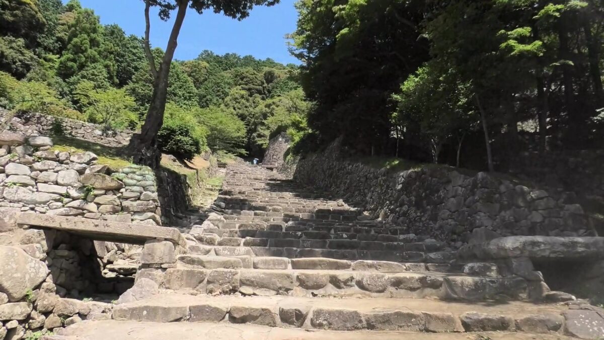
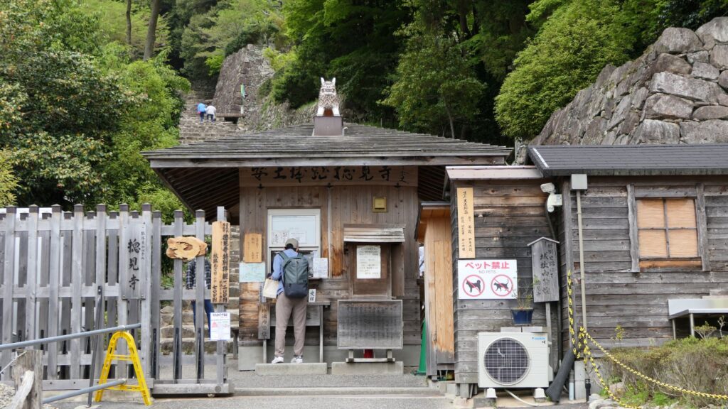
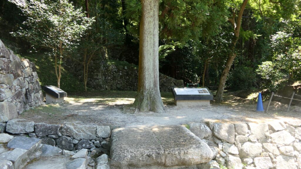
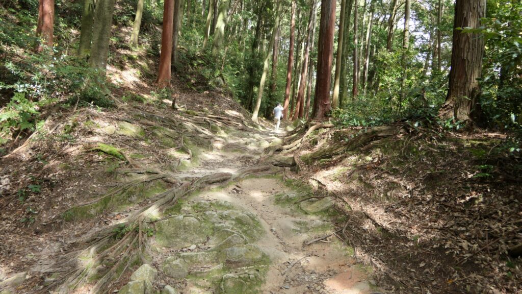
Let us go back to the main route and walk on it. You need to pay an admission fee to Sokenji Temple who owns the ruins. Then, you can walk up on the impressive stone steps towards the top. The route may still make the current visitors feel special because they can see the route. However, the past visitors must have seen the main tower of the castle above.

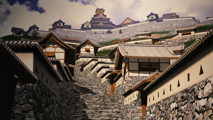
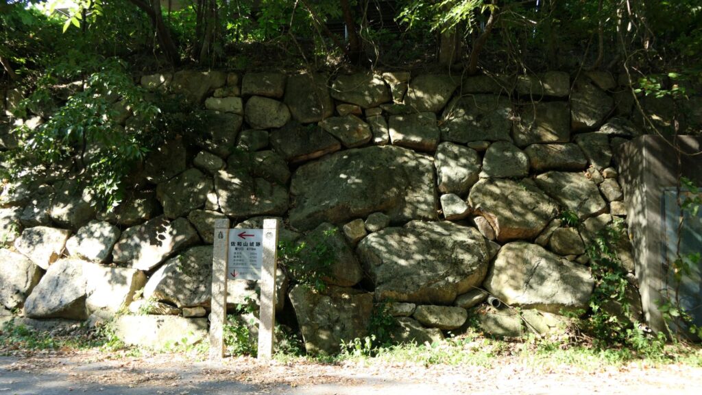
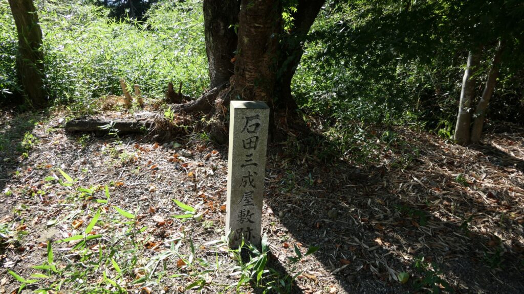
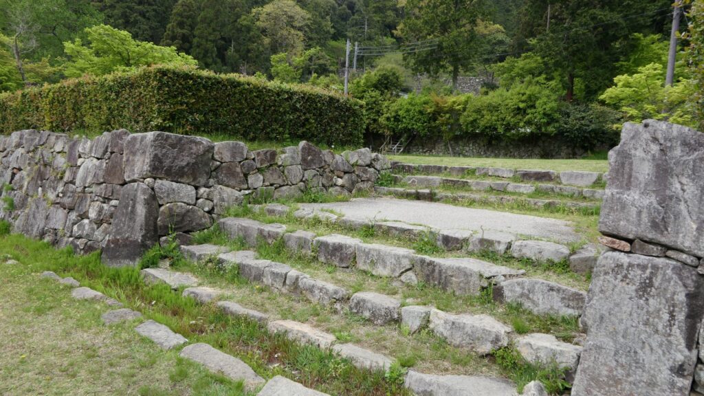
As you walk, you will see several ruins of Nobunaga’s retainers’ residences on both sides. For example, there were Hideyoshi Hashiba’s residence on the left, and Toshiie Maeda’s one on the right. However, the owners’ names are only speculative, and some believe it came from the Edo Period, not the same period as the castle. In addition, Hideyoshi’s residence ruins consist of two tiers. Some argue that the two tiers were from different residences from each other. They speculate the Oda family might have renovated them and used them as their government office after Nobunaga died and the main tower of the castle was eventually burned down.
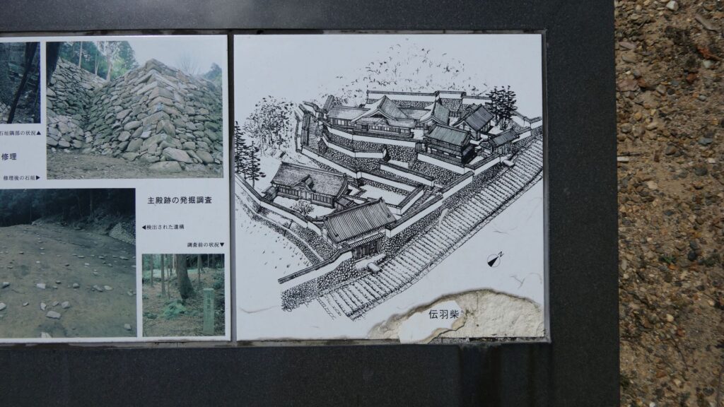
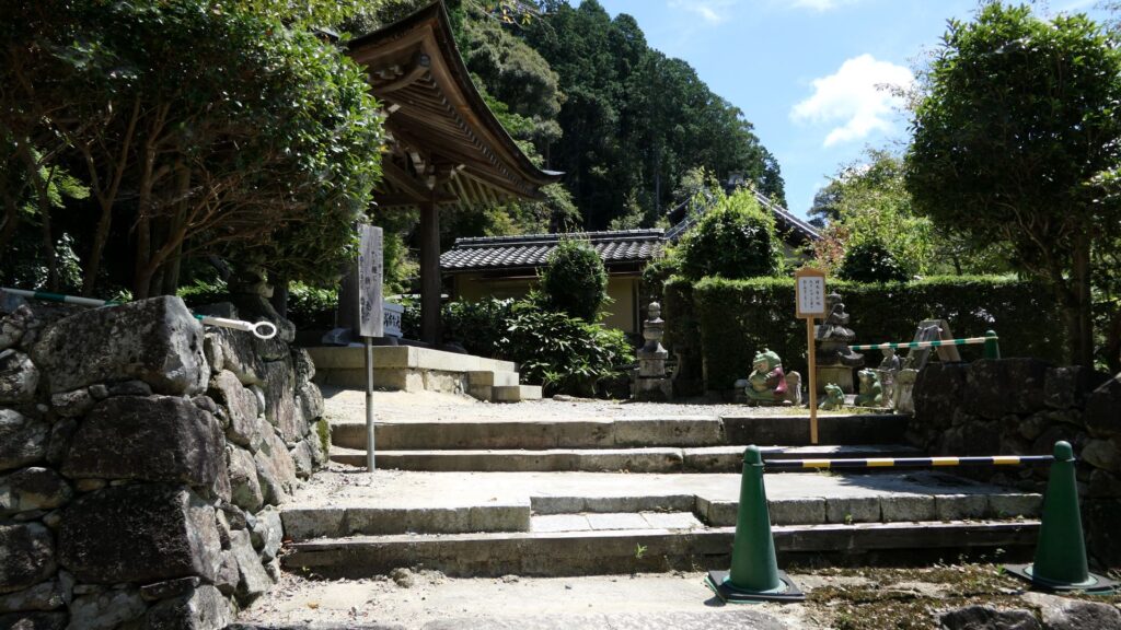
You will eventually see the main hall of Sokenji Temple, which was said to have been the residence of Ieyasu Tokugawa who was Nobunaga’s ally. However, as mentioned above, it’s only a speculation. According to records, he stayed in another temple when he came to Azuchi.
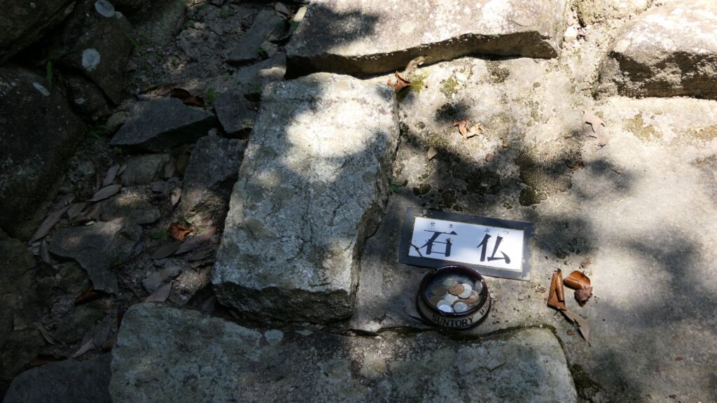
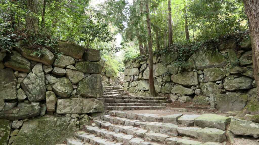
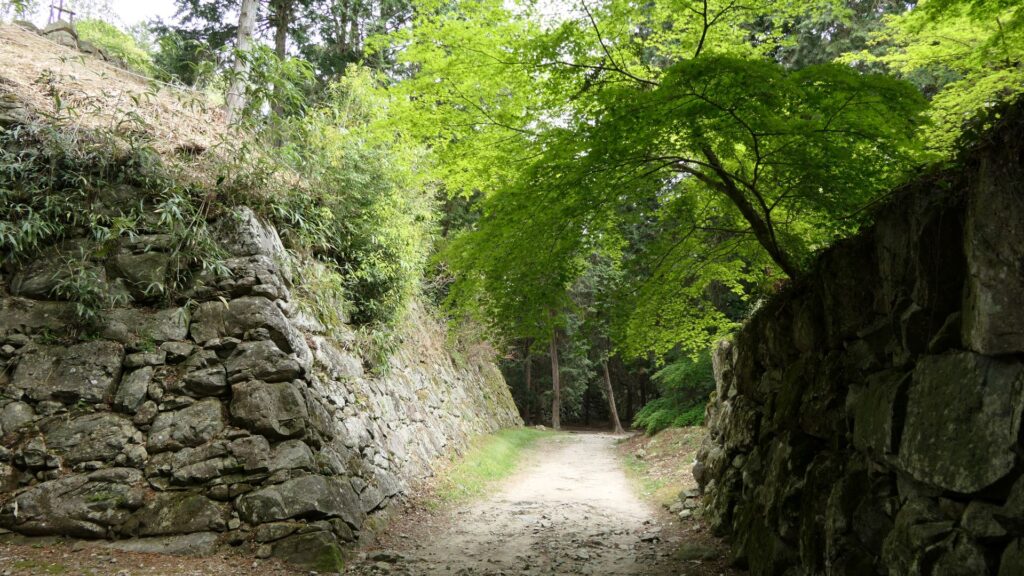
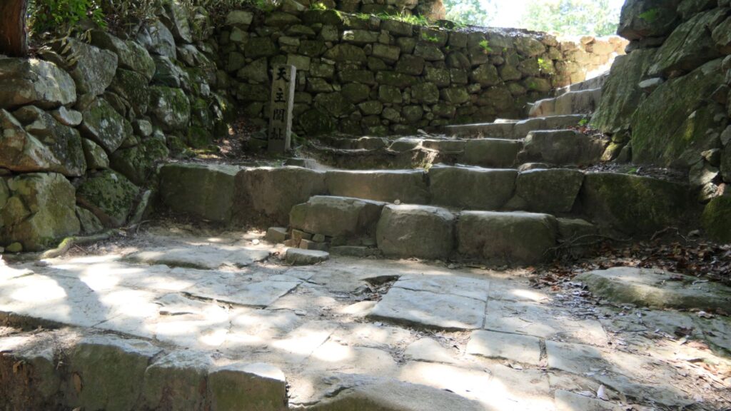
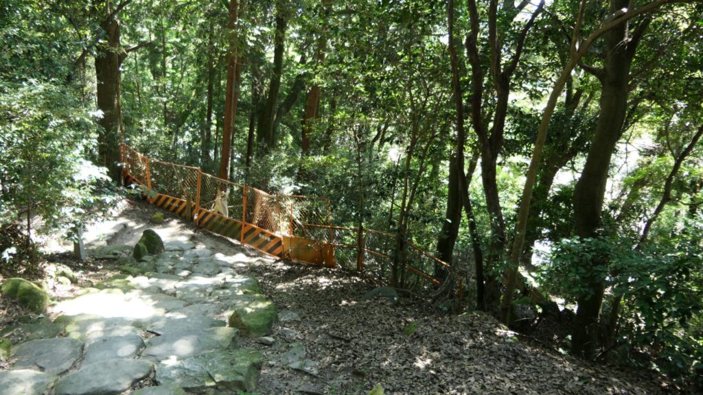
The straight route eventually zigzags on the way which may have been designed for the defensive purposes. The current stone steps were restored in the present time, using original stones. Some of them are stones from Buddha statues, which are stated in Japanese letters “石仏” beside them. The builders of the castle were able to get enough stones from mountains nearby. So, why did they use the stone statues in these prominent areas?
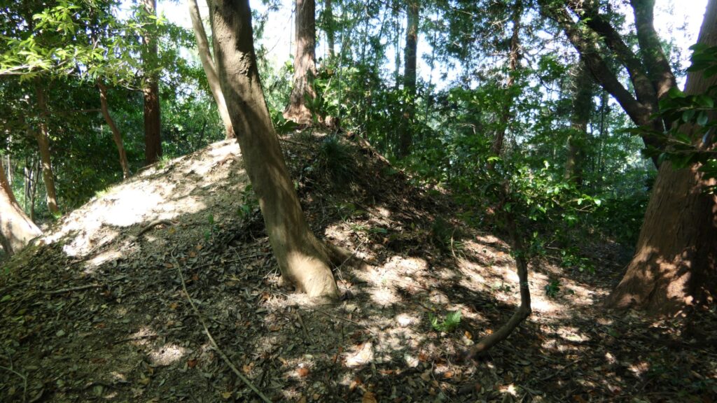
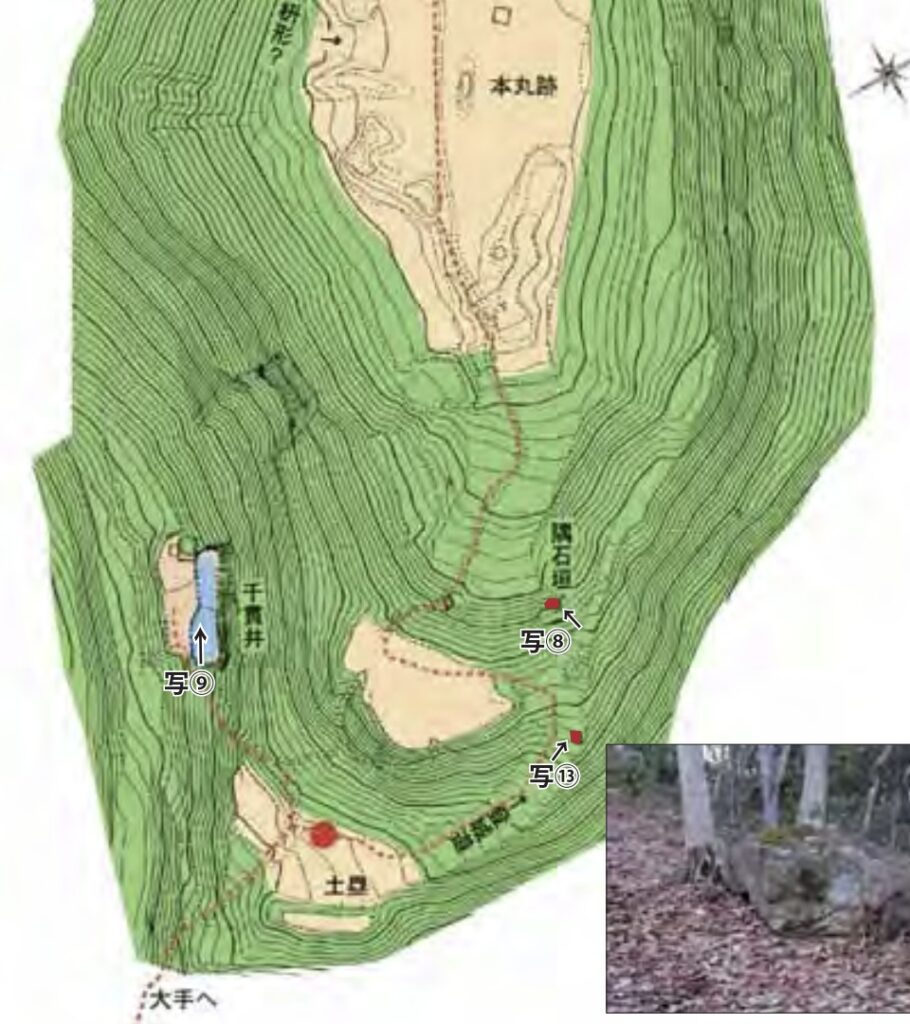
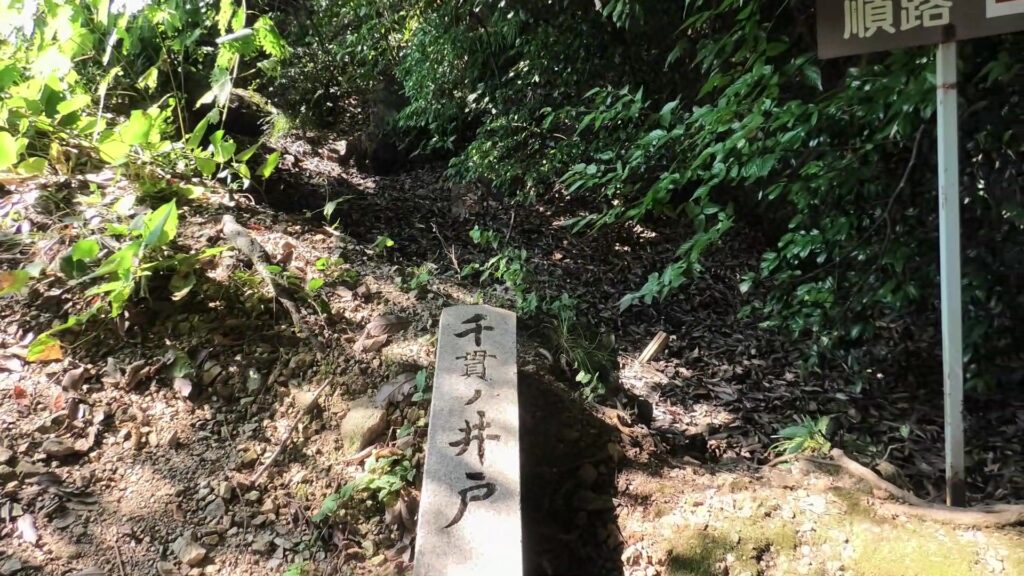
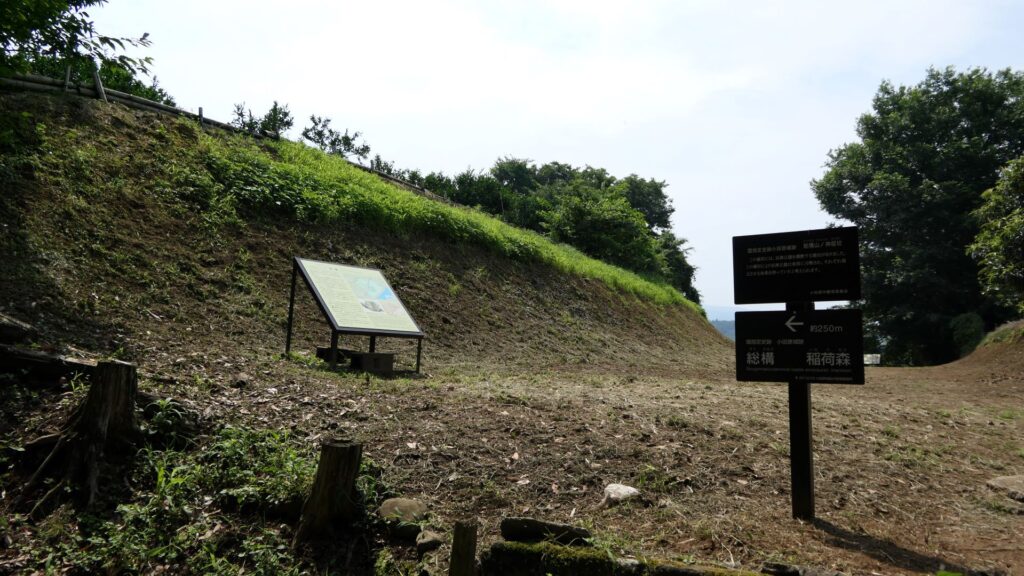
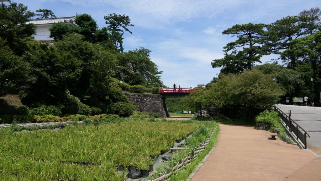
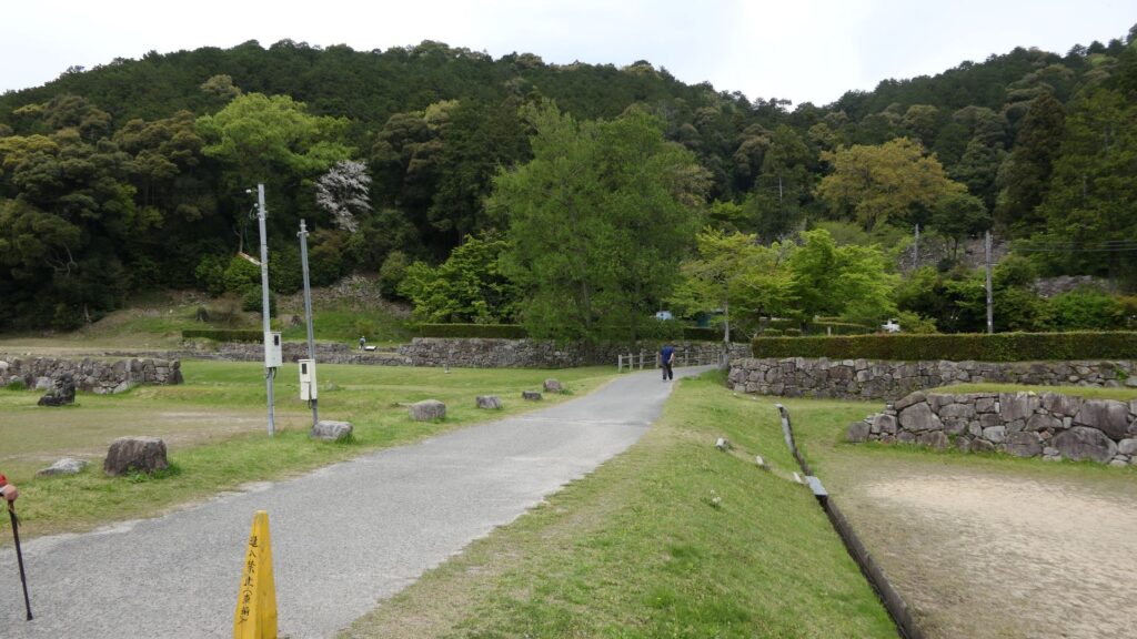
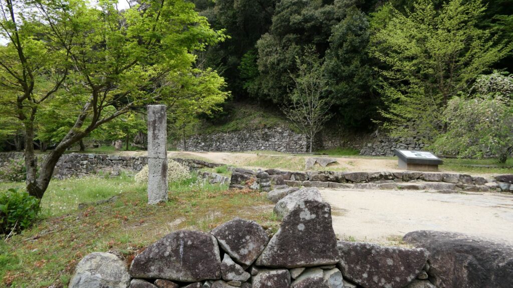
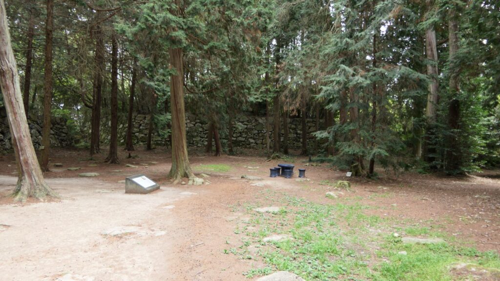
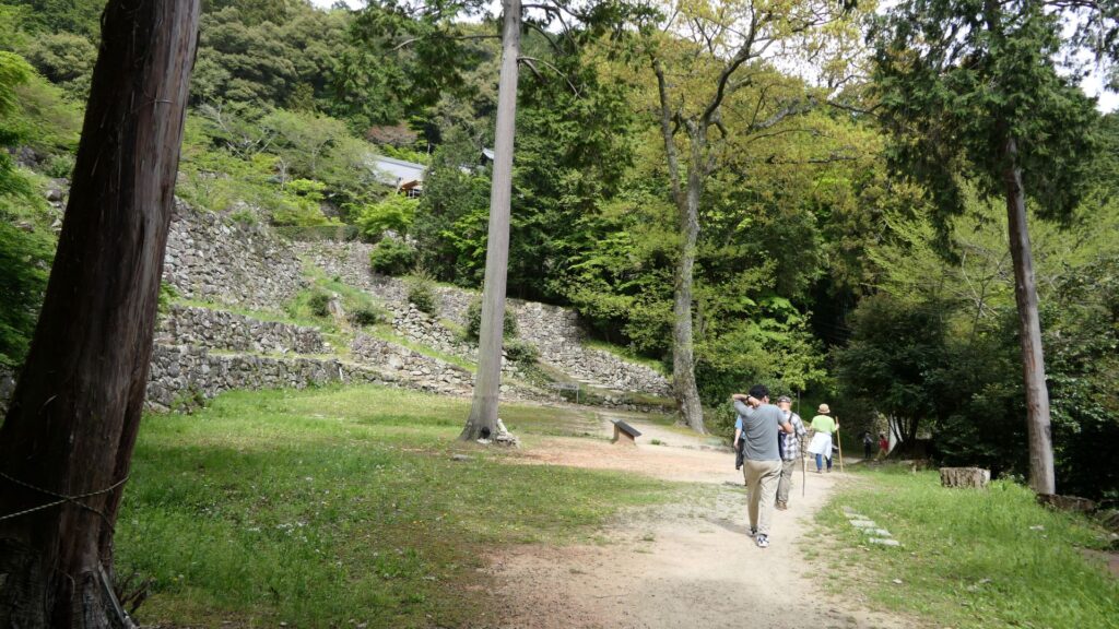
The route will eventually reach a plain area which is called the ruins of Nobutada Oda’s residence. This place was used as the temple’s facility after the castle was abandoned. That’s why there are very few remaining items of the castle. However, historians speculate that this place must have been reinforced by stone walls. This is because this is the crossroad of the important routes of the castle, the main route, the side route, the route towards the lake, and the one towards the center.
Going to Center of the Castle
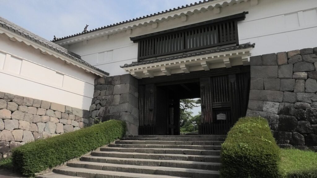
Next, let us go to the center of the castle. After climbing the stone steps for a while, you will eventually see the ruins of a great gate. This is the ruins of Kurogane-mon, which mean “iron gate”, to the center. The ruins still have a square space, called “Masugata”, built using huge stones, which looks strong. “Shincho-koki”, which is the most reliable biography of Nobunaga says it is “Omote-no-gomon” which means “front gate”. Therefore, it was definitely the front gate of the castle.
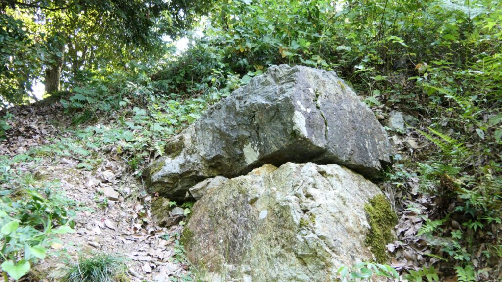
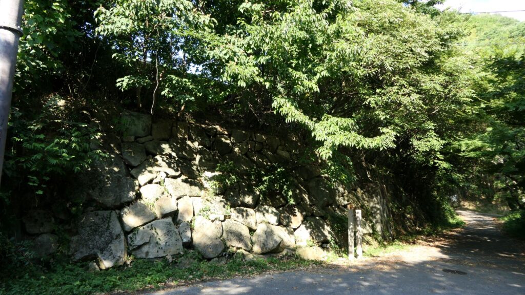
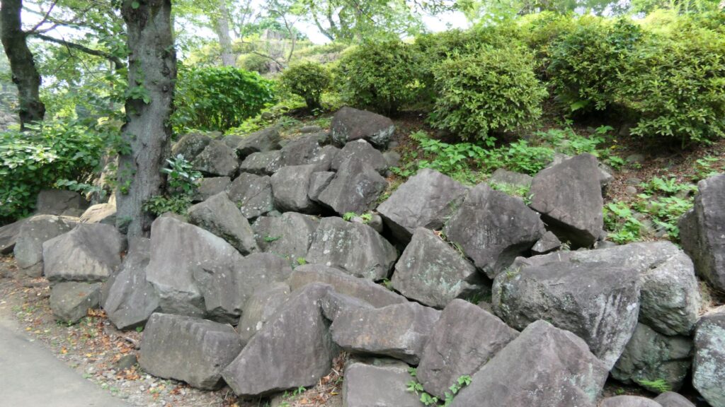
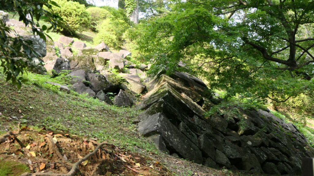
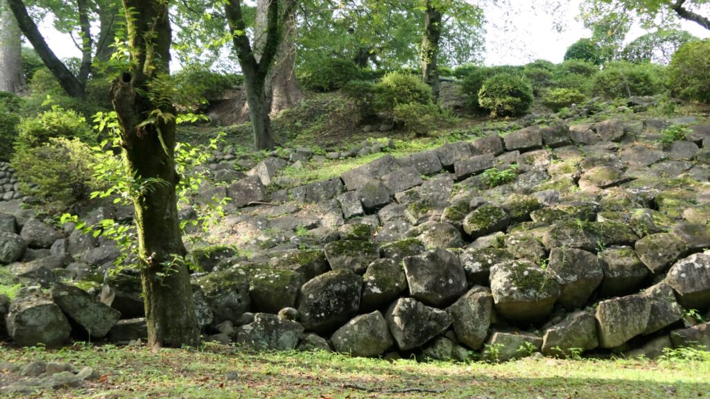
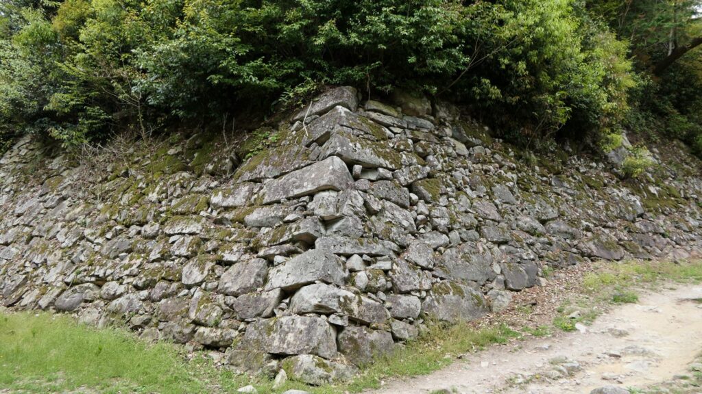
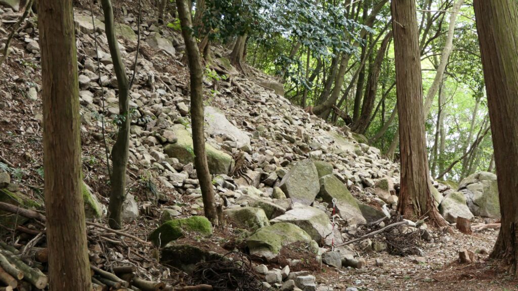
After entering the gate ruins, you will eventually see a lot of stone walls around. One of the breakthrough points of Azuchi Castle was the construction of these stone walls for buildings on them. The builders of the castle collected huge number of stones around and used larger ones at the center. The stones, which are natural or roughly processed, were piled up high to become the stone walls in a method called “Nozura-zumi”. They look unstable but are joined together securely. The stone craftsmen, who could operate the Nozura-zumi method, would later be called, “Ano-shu”.
Looking around these great stone walls, you will eventually pass the ruins of the second and third gates one after the other. Then, you will arrive at Ninomaru-higashi-damari which means “eastern gathering place of the second enclosure”. The main enclosure is on the right (to east) and the second enclosure is on the left (to west).
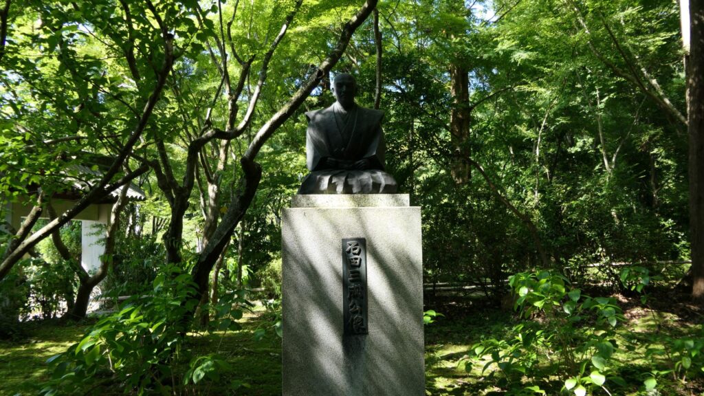
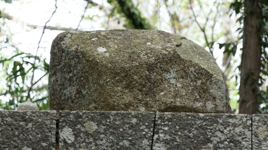
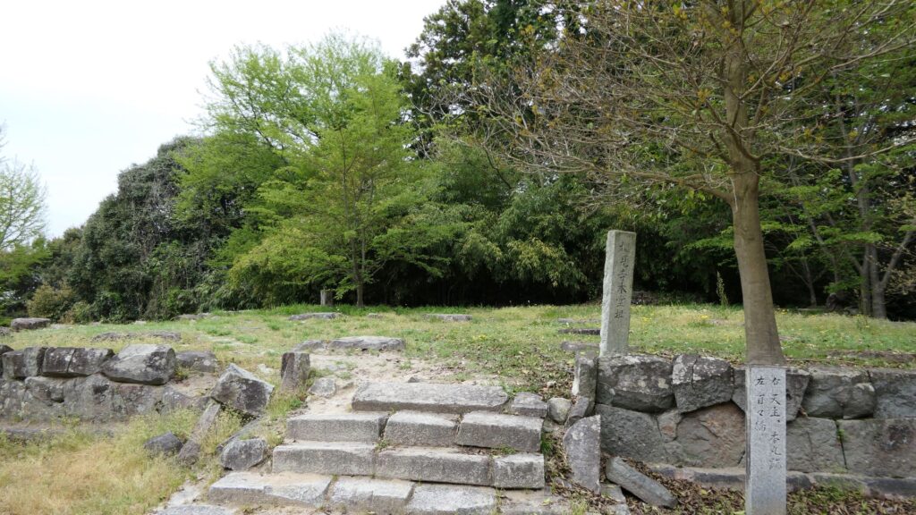
There is the grave of Nobunaga Oda at the second enclosure to the left, which Hideyoshi built the following year of the Honnnoji Incident. The route to the grave in the enclosure was also built at that time. Historians speculate the place, where the grave was built, had been the residence of Nobunaga and his family. If you look at the top of the grave, you will notice a simple stone, which is not appropriate for the great lord. This is because the top of the graves of such great warlords are usually built like a tower. The stone may look like the Bonsan stone which would be the icon of Nobunaga. Noone knows if the stone is authentic, but at least, the builder would have known about it.
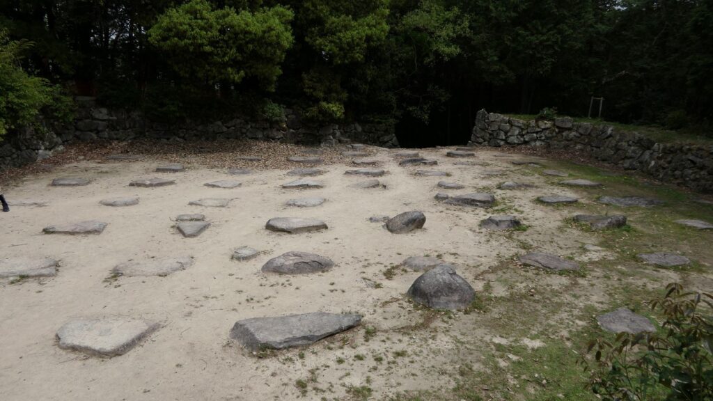
Going back to the Ninomaru-higashi-damari gathering place, you can now go to the main enclosure. The place was originally called “Oshirasu” which means “waiting area”. The area to the enclosure is empty now. However, according to the Shincho-koki biography, there was another gate, and also a hall called “Nanden”. The hall was thought to include waiting rooms, agent rooms, and meeting rooms. That may have been one of the origins for typical castle halls like the second enclosure hall of Nijo Castle.
The main enclosure only has few stone foundations, some trees, and the stools for visitors. There must have been the hall or room for the royal visit somewhere inside. There are also the stone walls of the third enclosure just behind the trees, where another hall for the guest was built. The enclosure must have been a good viewing spot; however, the current visitors unfortunately cannot access this area.
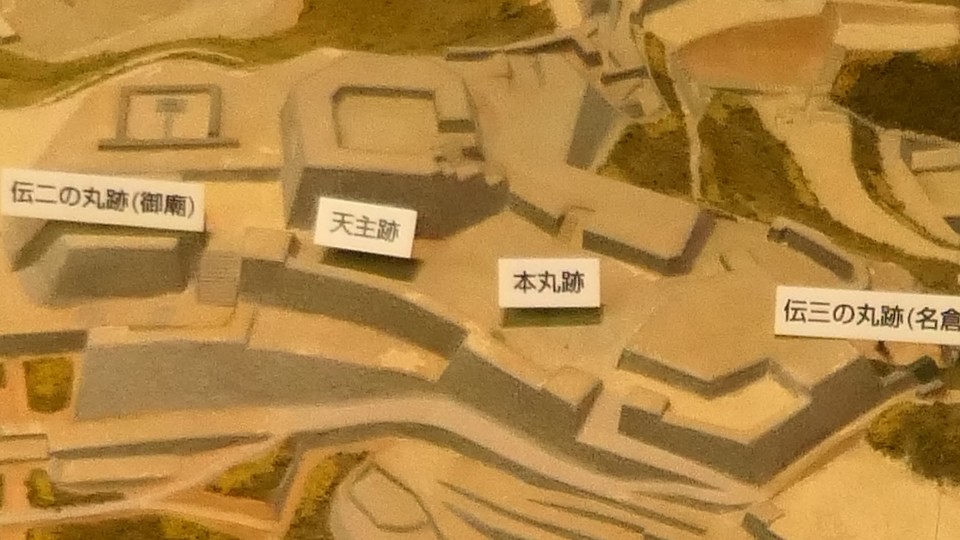
Going to the Main Tower Base
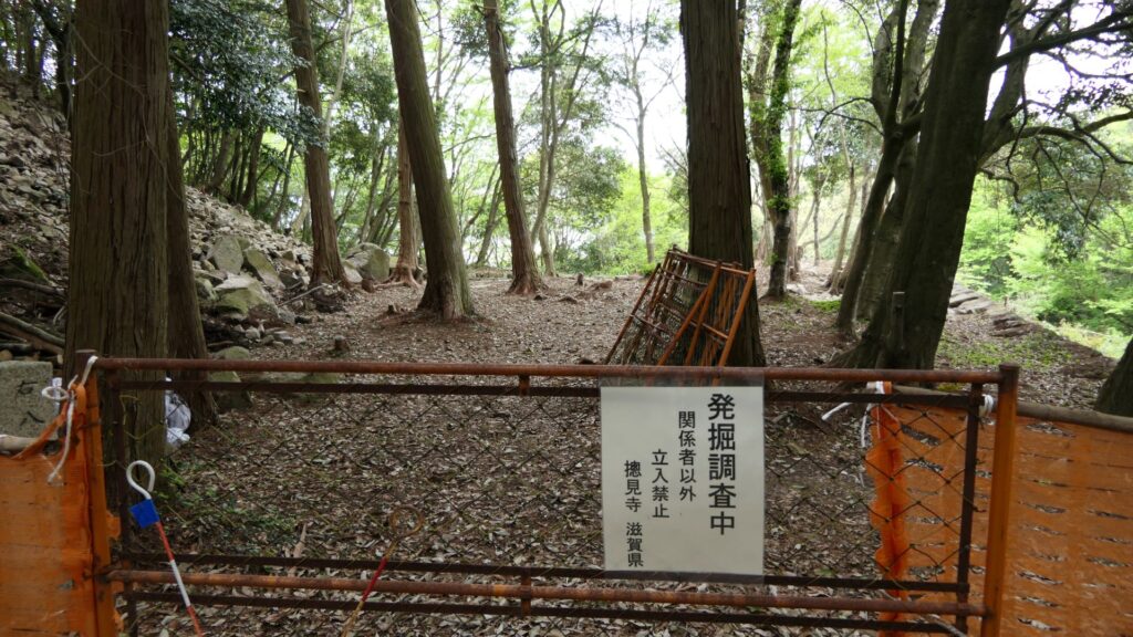
If you want to go the main tower base from the main enclosure, you will need to pass through Honmaru-Toritsuke-dai (which means the mounting base of the main enclosure) by climbing some stone steps. The mounting base is now an open space but used to have a building on it, which was connected with other buildings of the main enclosure with roofed passages. If you go on the space, you will see an excavation site beside the tower base. Shiga Prefecture launched the excavation in 2023, which is called “the great research of Reiwa”. The purpose is to reveal what the main tower looked like and why it was burned down. So far, it found that the stone wall base was partially destroyed intentionally after the tower was lost. The excavation team speculates that it might have been done when the castle was abandoned.
Let us walk up on the stone steps towards the tower base. You should check out the surface of the steps, which is covered with tiles. These tiles were made of Shakudani-ishi stones which came from Echizen Province (the current Fukui Prefecture). The stones are blue green in color and turns deep blue when it rains. They are still one of the specialties of the prefecture and is the prefectural stone. The stones of the tiles were said to have been given by Katsuie Shibata who was a senior vassal of Nobnaga and owned the province. They had just conquered the province, so the tiles may have been built as the symbol of their conquest.
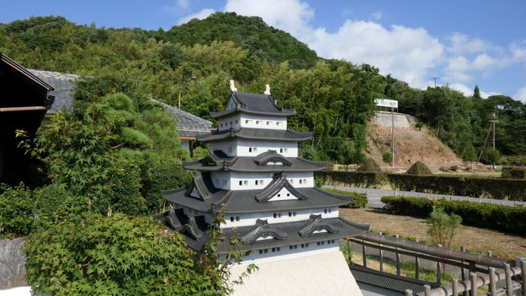
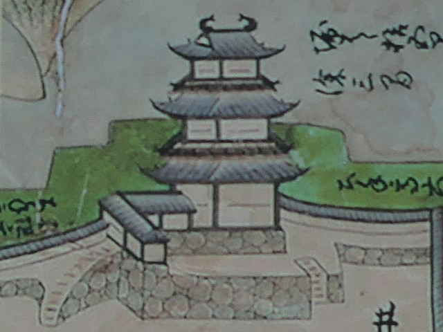
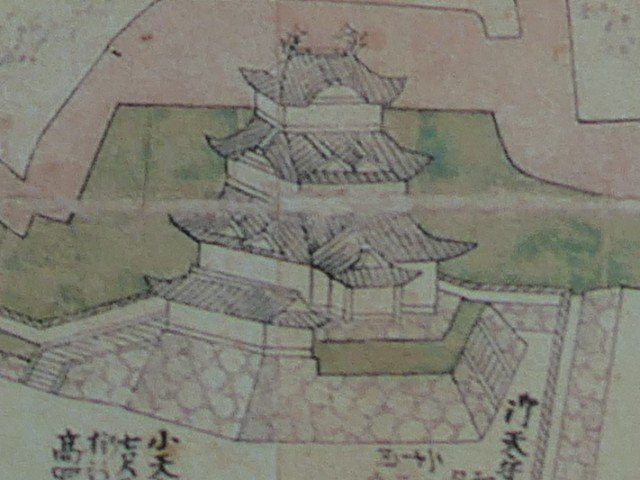
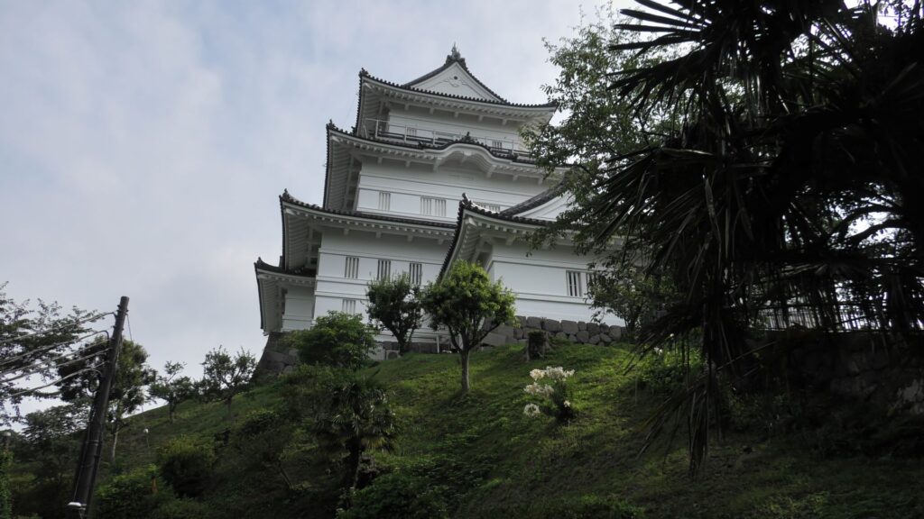
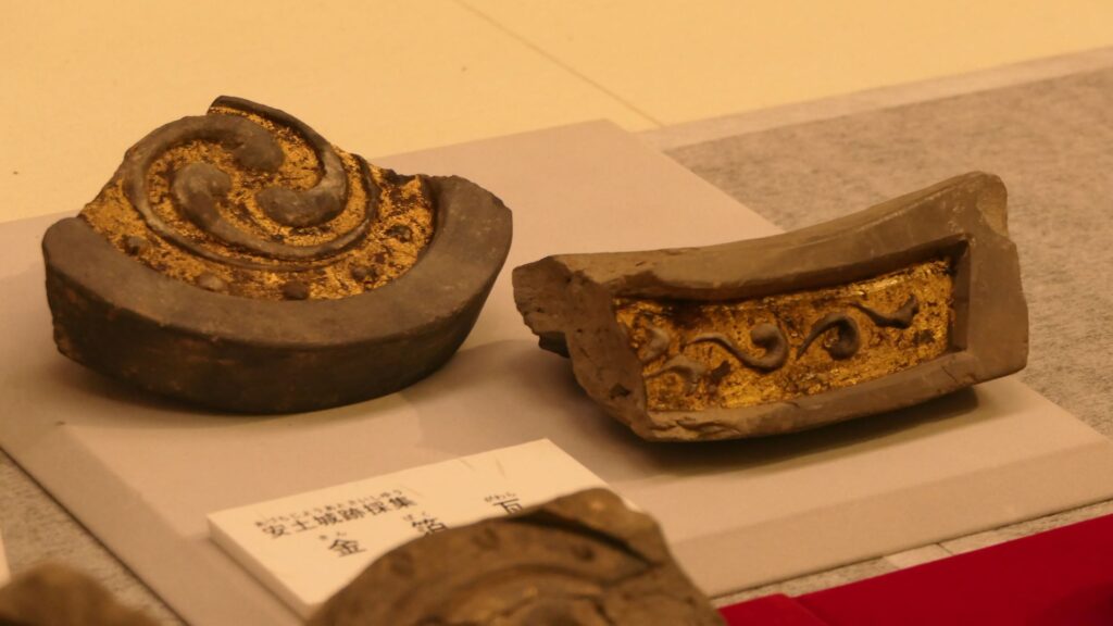
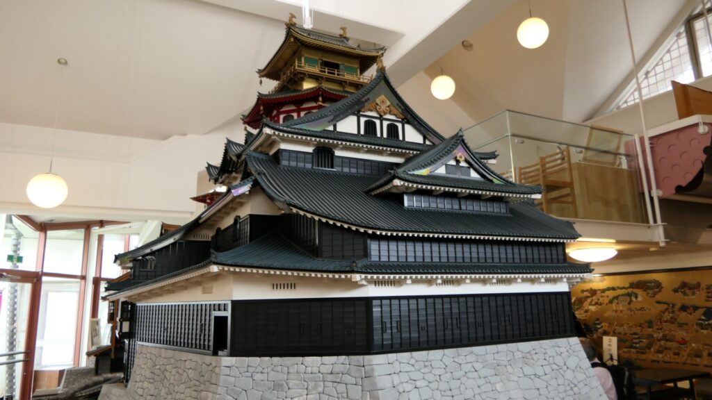
The stone steps will eventually lead to the basement of the tower, which was the storehouse. Now, there are only the stone foundations inside. It is still mysterious what the main tower and other buildings of the castle might have looked like. Shiga Prefecture states that Azuchi Castle was the first Japanese castle that contained the three important items at the same time: a high main tower, high stone walls, and buildings with rooftiles. In addition, some rooftiles with golden leaves were discovered in the center of the castle. Historians also say they are the first case amongst Japanese castles. For reference, the same kind of rooftiles were discovered in Gifu Castle which was the previous home of Nobunaga. However, they cannot be confirmed to have been made during the same period as Nobunaga. This is because Gifu Castle was used even after Azuchi Castle was abandoned.
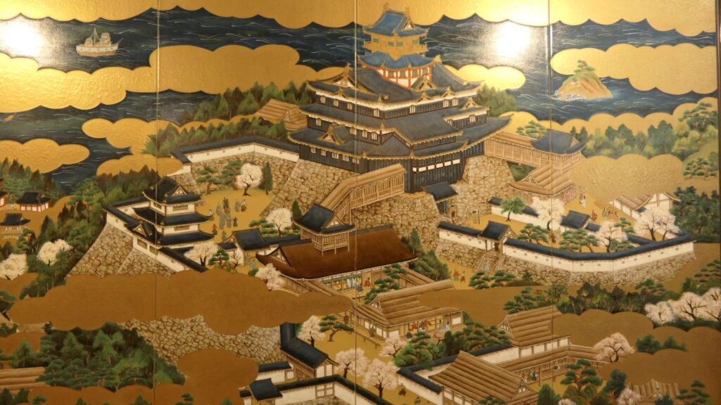
The great research of Reiwa also involves seeking for the picture where Azuchi Castle was drawn. It is called Azuchi-san-zu-Byobu which means the screens of the illustration of Azuchi Mountain. It was given as a present by Nobunaga to the Roman Pope, who certainly displayed it in the Vatican Palace, but was unfortunately misplaced. The prefecture has been seeking it but was not successful. However, they have started again with the research as a starting point. If the picture can be found, it would be the most convincing evidence that the main tower existed.
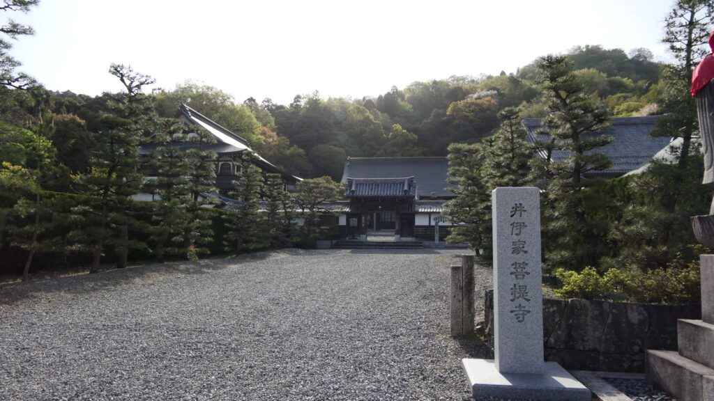
Sokenji Temple is still Mysterious
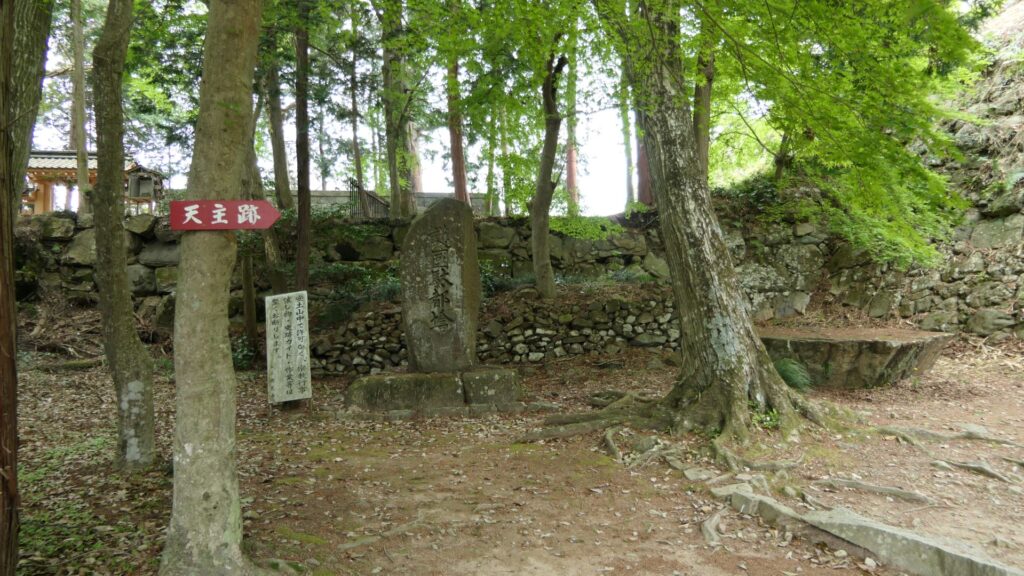
If you go back from the center to the ruins of Nobutada Oda’s residence, the route for visitors is eventually led to the ruins of Sokenji Temple. This is where the Bonsan stone was placed, according to Luis Frois. There are the ruins of the former main hall of the temple on a hill. The stone was placed on the second floor, which was the highest point of the temple. The place might have been considered the best spot for the icon of Nobunaga who reigned at the top of the main tower. After Nobunaga died, the main hall was renovated but was unfortunately burned down by an accidental fire during the Edo Period. If the hall survived the fire, one mystery about Nobunaga would have been solved.
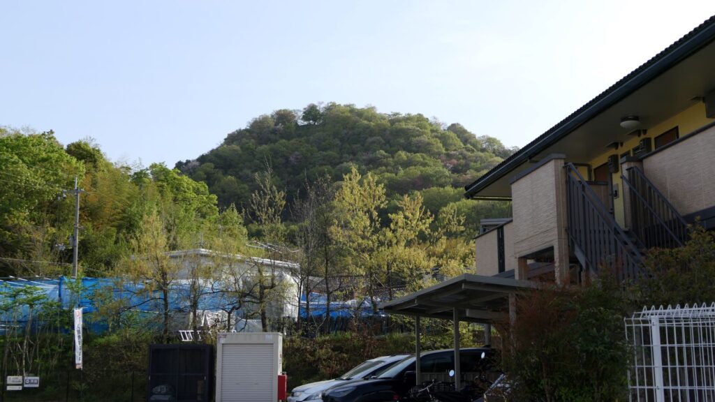
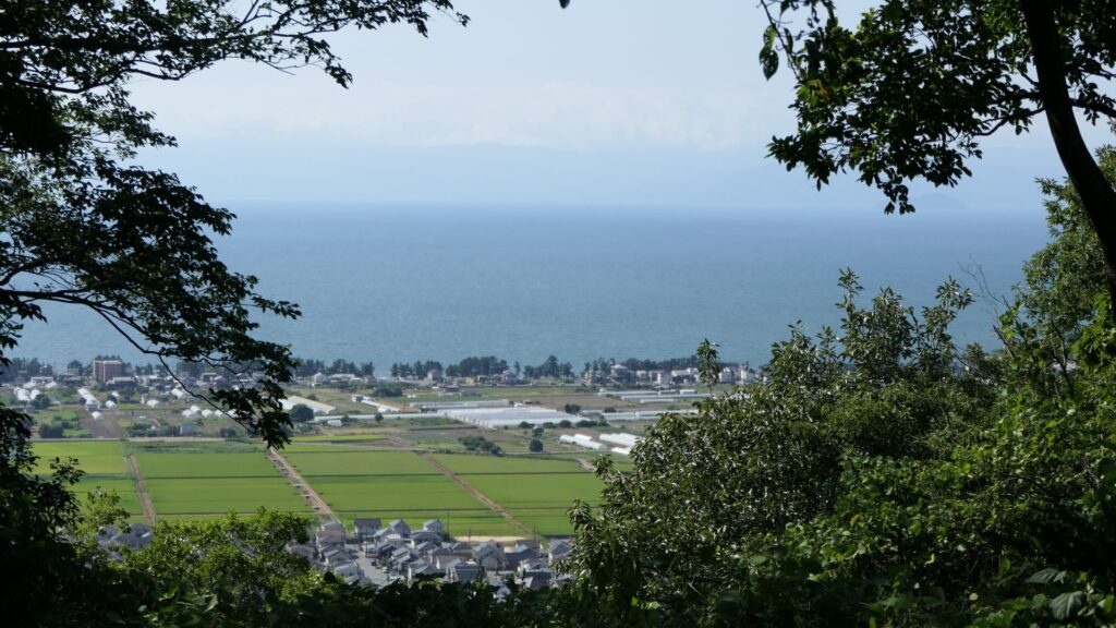
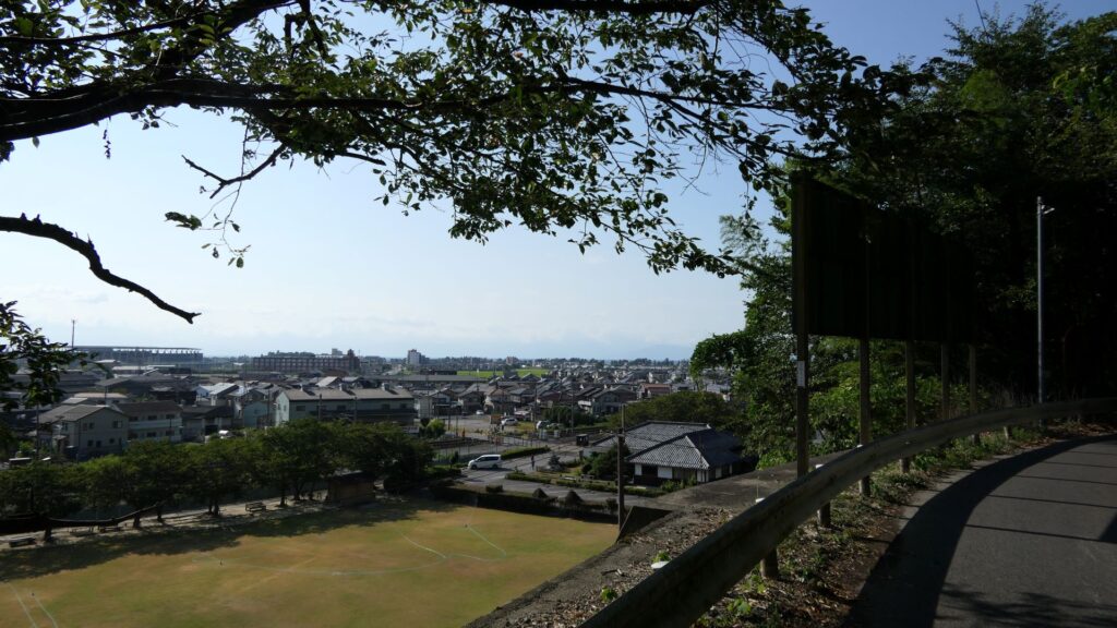
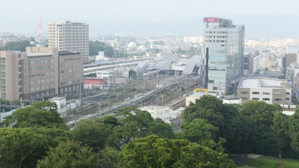
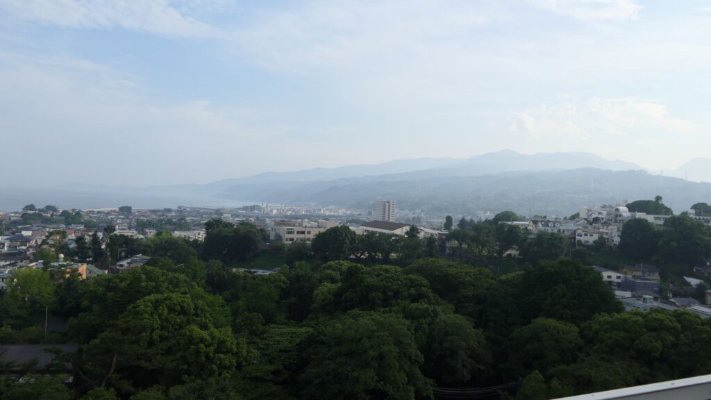
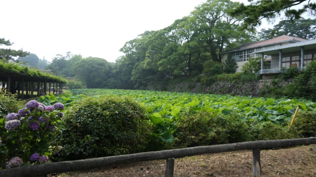
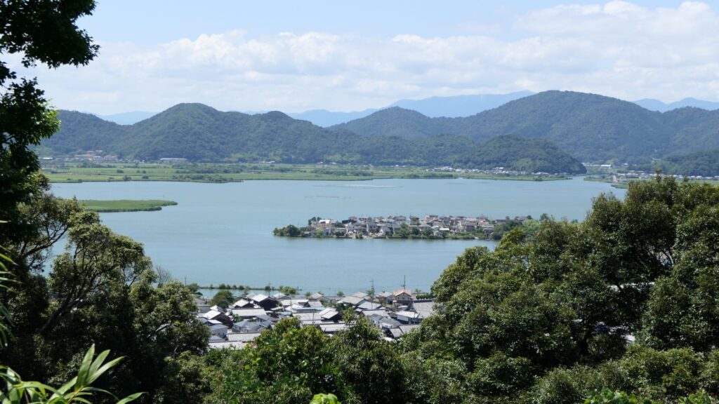
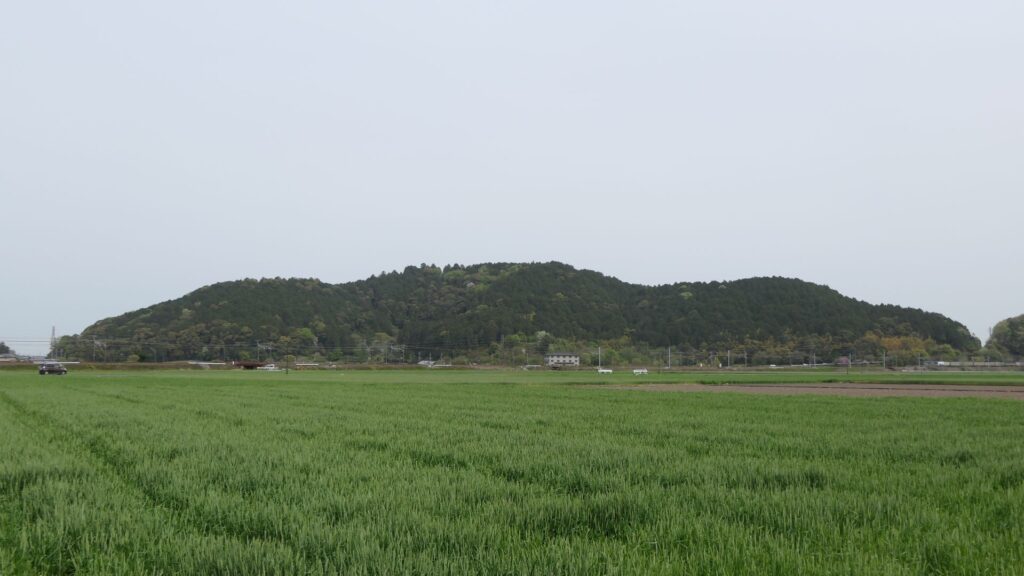
Azuchi Mountain including the castle was partially surrounded by Nishinoko-Lake which is a branch of Biwa Lake. However, they were disconnected during the Showa Era because the lake was reclaimed to the farms. You can still see a good view of the lake from the hill.
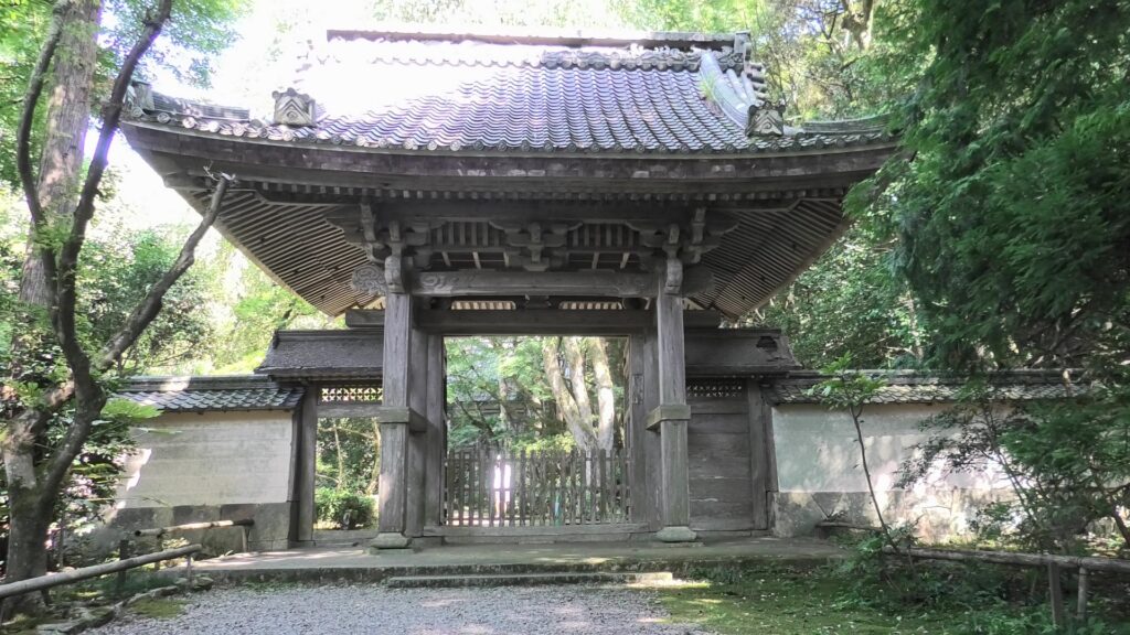
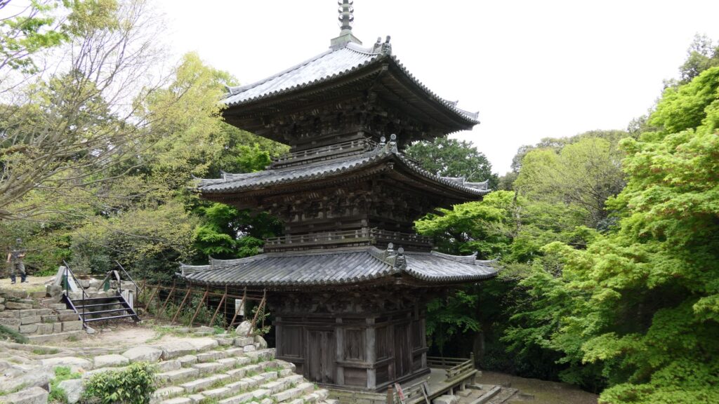
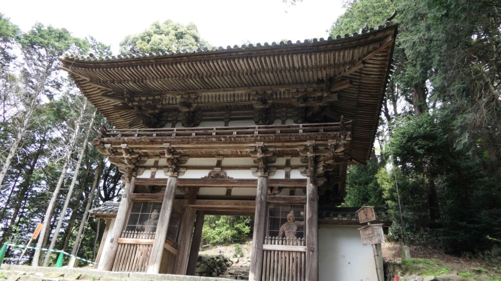
The three-level tower and Nio-mon Gate (the front gate) of the temple managed to survive the fire. Both have been designated as National Important Cultural Properties. If fact, they were older than other castle buildings of Azuchi even when it was first established. This was because the temple buildings were collected from other temples by Nobunaga. The route through the buildings was the side route of the castle, which was popular. According to the Shincho-koki biography, the route was very crowded with people to celebrate the new-year event of 1582 (according to the luna calendar). The new-year event was the last for Nobunaga who was killed within the same year.
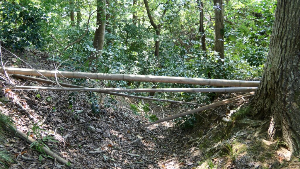
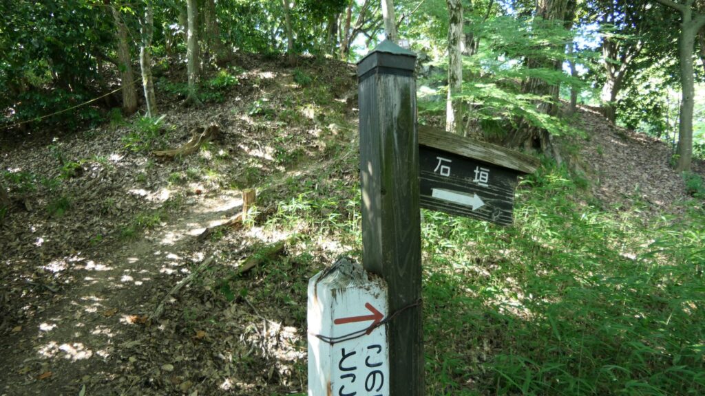
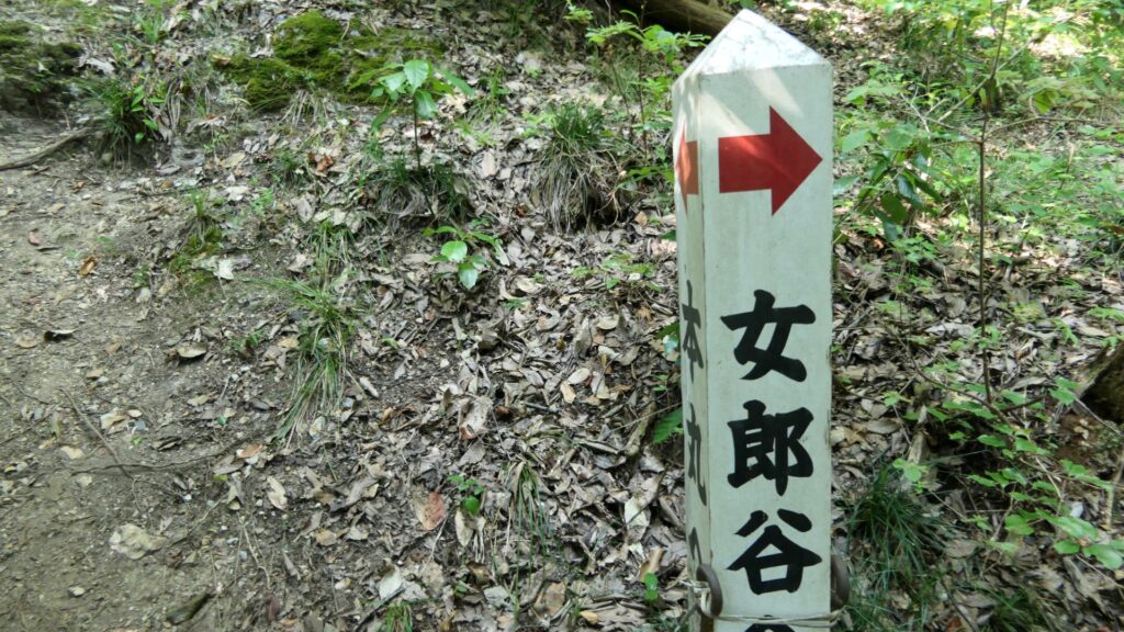
The tour route will lead to the side route of another going around the mountain.
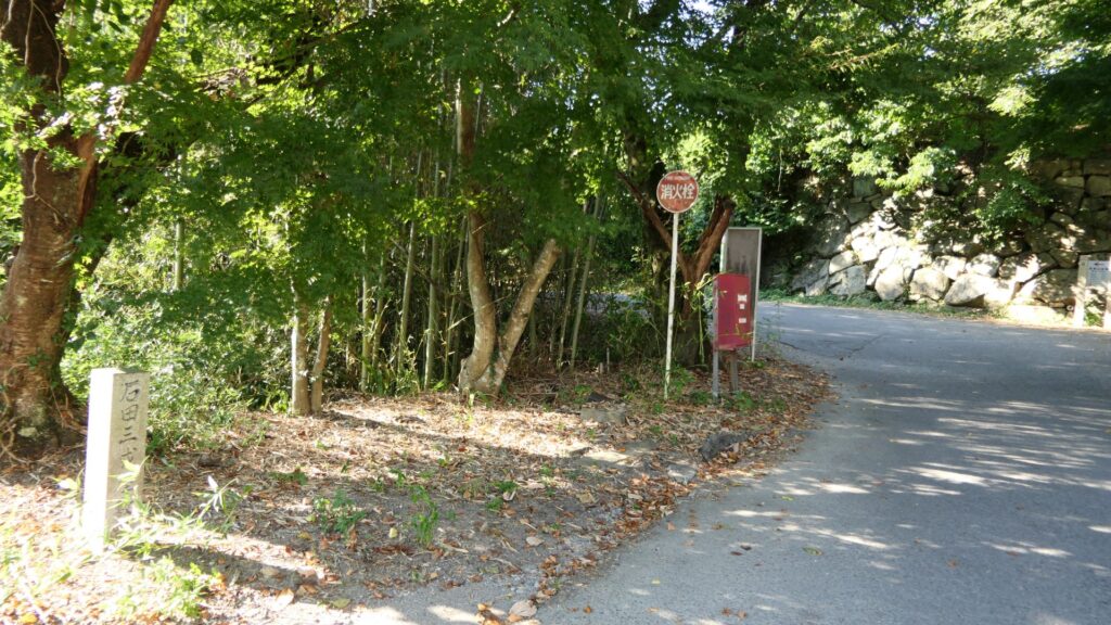
The entrance of the side route cannot be used because the temple wants to control the crowd. Our route will eventually return to the ruins of Hideyoshi Hashiba’s residence near the toll gate.
My Impression
The more you think about the mysteries of Azuchi Castle, the more they may become mysterious. That is my honest impression. However, I enjoy thinking and speculating about each mystery. Nobunaga had a very unorthodox way of thinking back then. Therefore, you might not find the answers by just using the conventional knowledge. In my opinion, the unsloved mystery of Azuchi Castle is what makes it unique. We just have to wait for more convincing proof in the future.
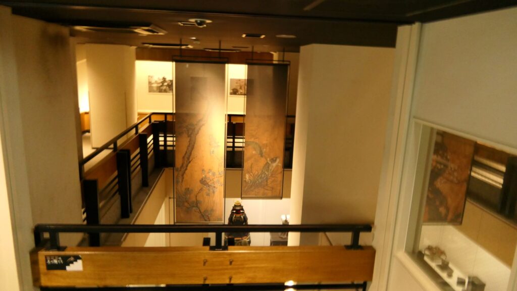
Furthermore, I recommend visiting other several historical museums around Azuchi Castle, to help you uncover the mystery.
That’s all. Thank you.