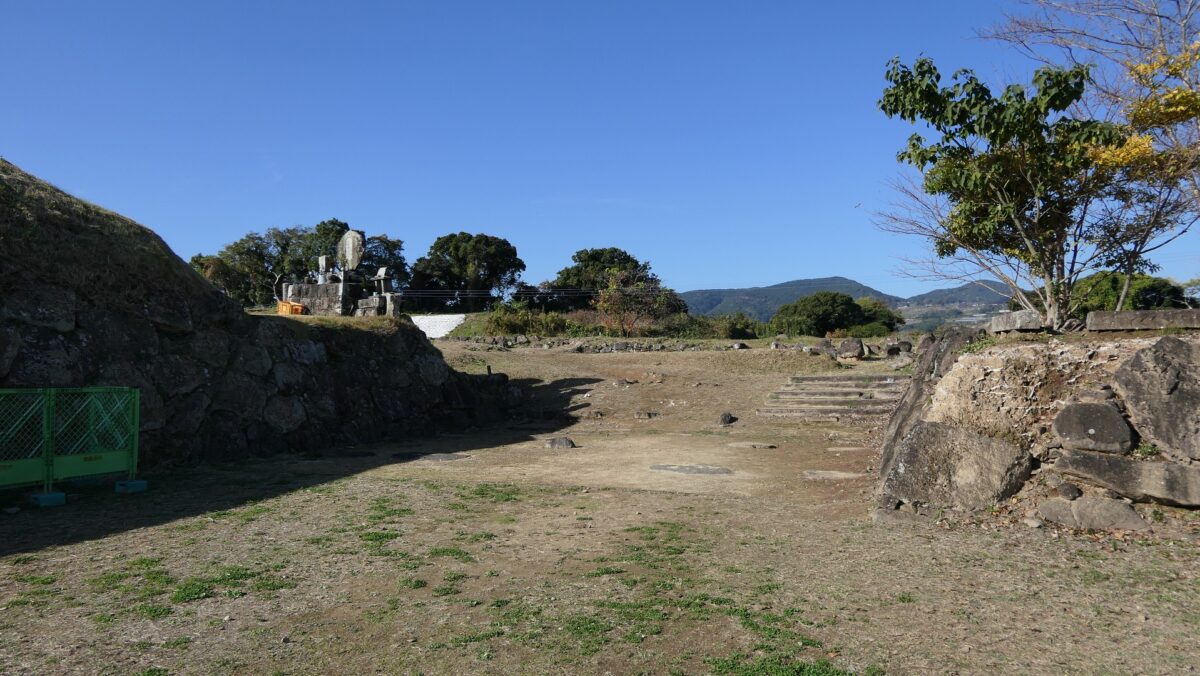
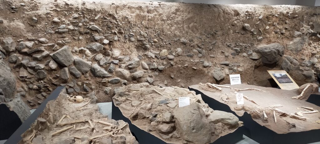
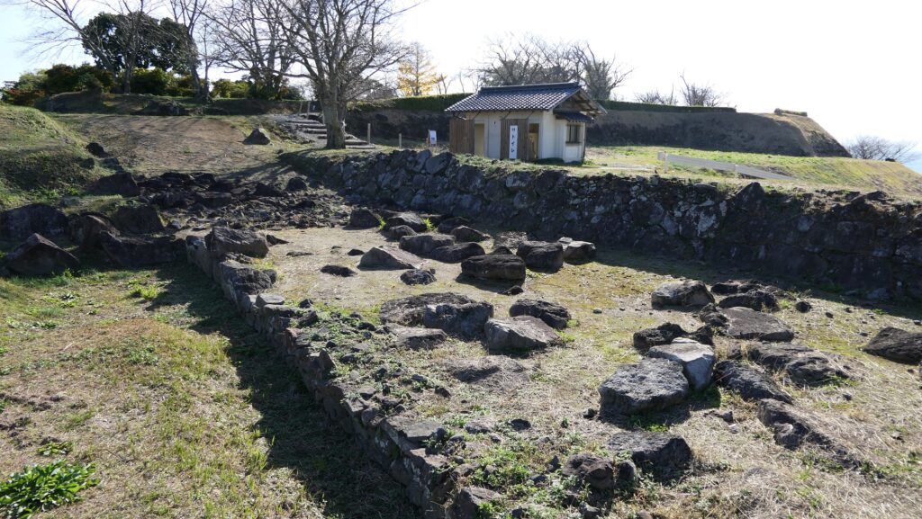
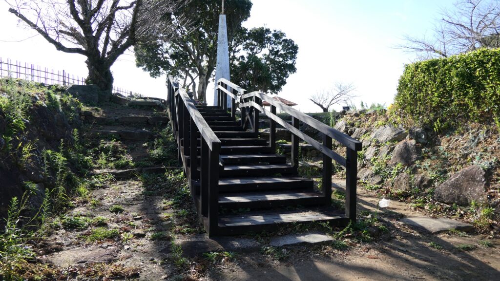
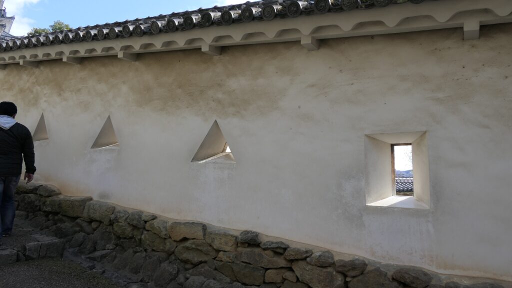
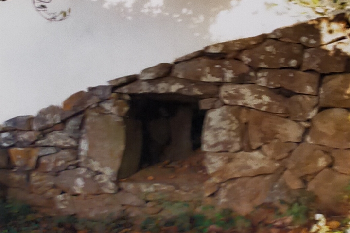
If you are interested in the Yamaga military style, you can find the loopholes through stones near the Raccoon Dog Turret. Loopholes for guns were usually built through only mud or plaster walls in other castles. However, in Hirado Castle, they were built through the stone walls as well, which is a very rare feature in Japanese castles. It is thought that they were built using the Yamaga style.
An example of normal loopholes for guns from Himeji Castlea loophole through Stones of Hirado Castle, exhibited by Hirado Castle
Later History
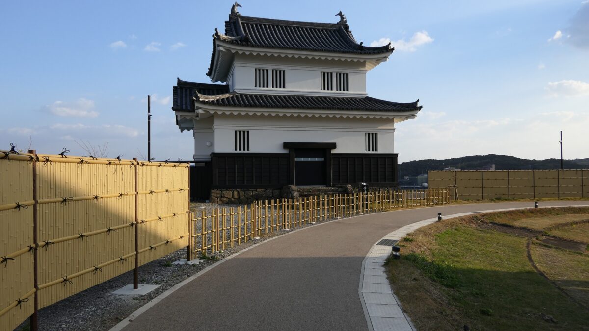
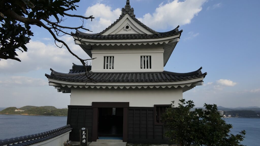
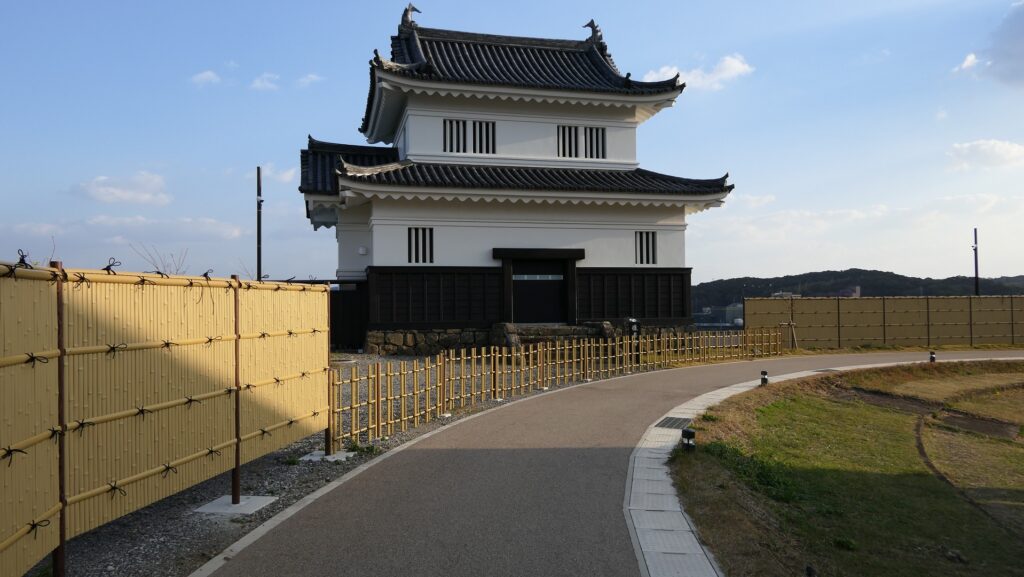
After the Meiji Restoration, Hirado Castle was abandoned, and most of the castle buildings were demolished. The ruins became Kameoka Park. In 1962, the Imitation Main Tower and four turrets were rebuilt and opened to the public as the new Hirado Castle. Hirado City recently started a new and unique promotion with private companies offering visitors one of the turrets, called Kaiju-Yagura, to be remodeled and operate as a hotel.
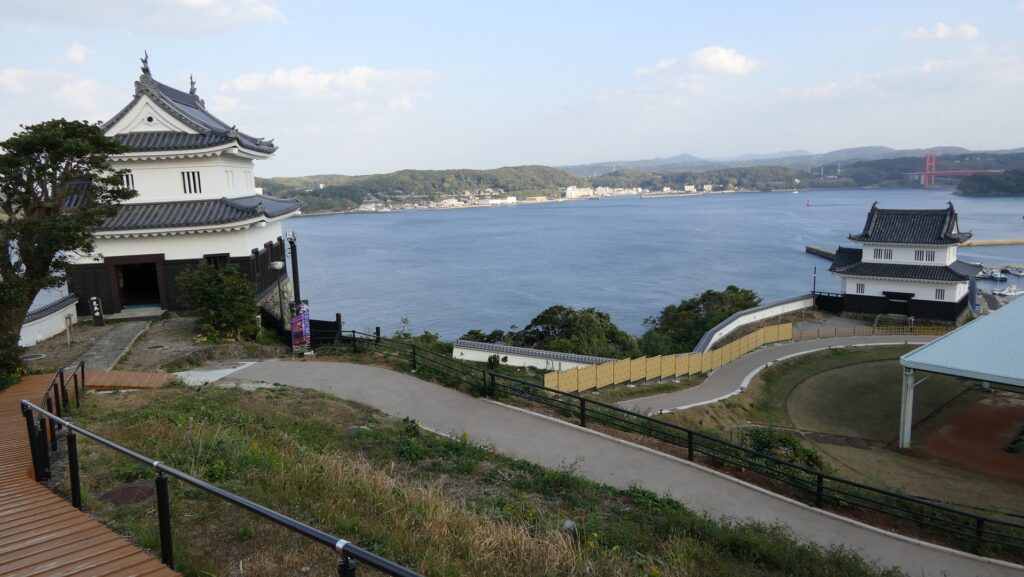
The Imitation TowerThe Kenso Turret, one of the rebuilt turrets in the castleThe Kaiju Turret which is also used as a hotel
My Impression
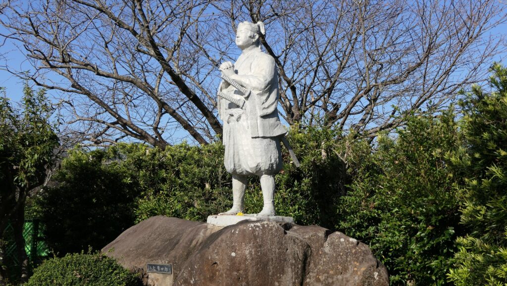
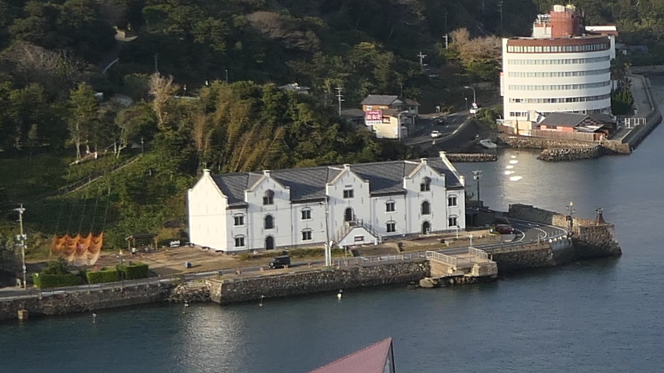
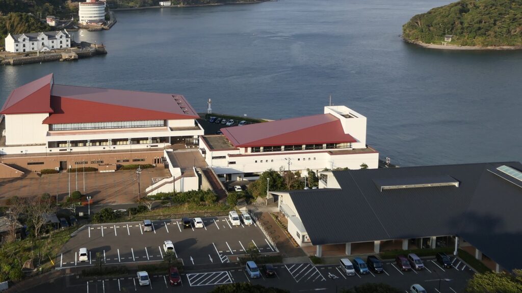
The present Hirado Castle is not what I had expected before my visit because I thought the castle still kept its old style from the 16th Century. I was convinced of that after learning the history of the castle prior to my visit. I think the castle has a unique atmosphere which probably originates from the Yamaga military style. If you want to learn more about its history, I recommend visiting the restored Dutch Trading House or Matsura Historical Museum near Hirado Port.
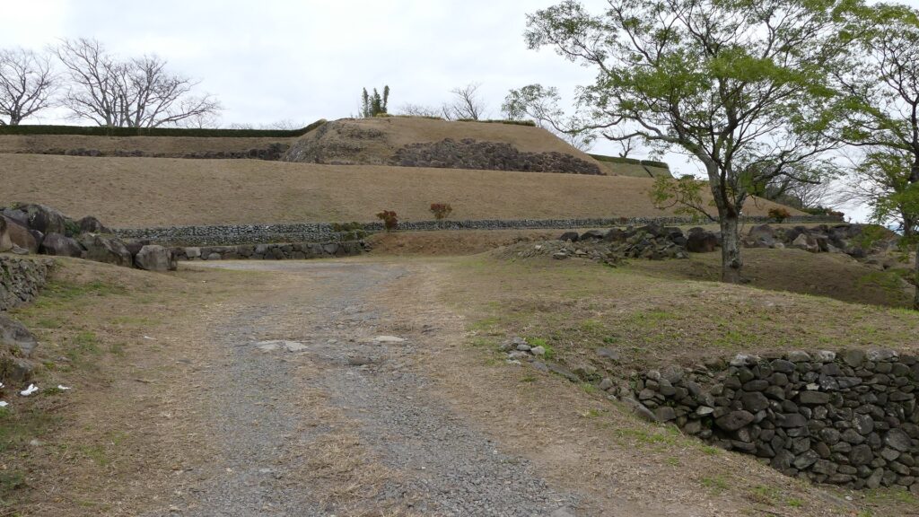
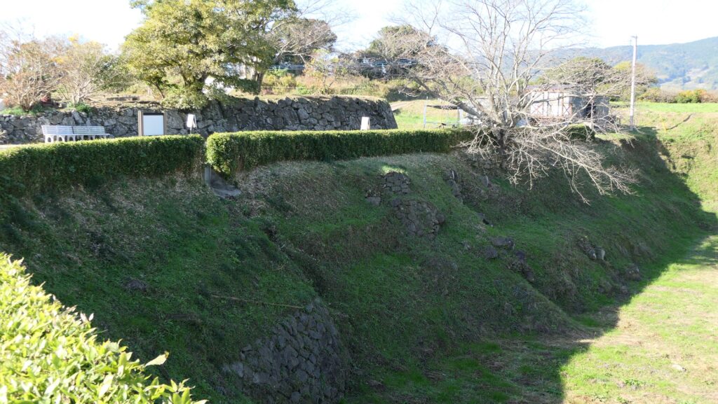
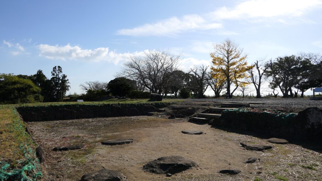
The unique shape of the Main Enclosure of Hirado CastleThe restored Dutch Trading House seen from the Main Tower
How to get There
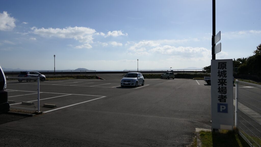
I recommend the use of a car when you visit the castle. It is about 30 minutes away from Matsuura IC or Saza IC on the Nishi-Kyushu Expressway. You can park at the parking lots at Kameoka Park. If you go there from Tokyo or Osaka, I recommend going to either Fukuoka or Nagasaki Airports by plane. After that, it’s better to rent a car as it takes a lot more time to visit the castle by using public transportation to get there.