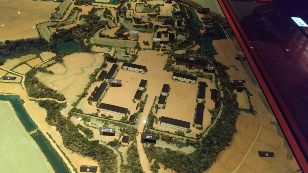
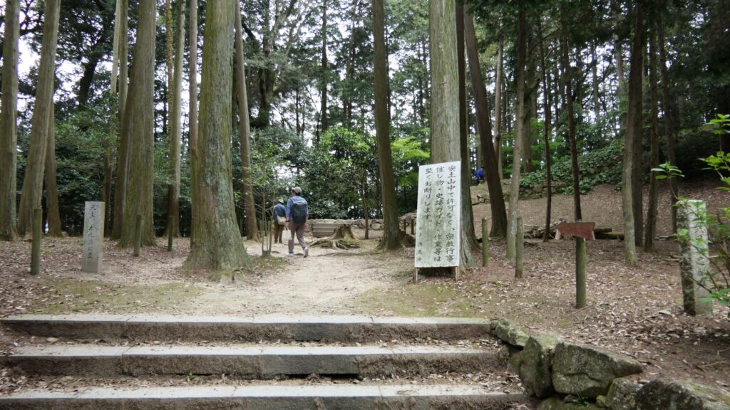
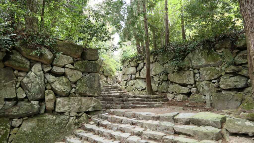
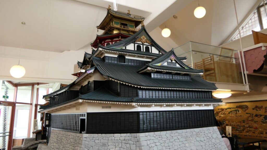
I think that the bast way to feel what Odawara Castle was during the Sengoku Period, would be to wak the So-gamae structure. Therefore, this article will show you how to walk around the So-gamae in the current Odawara City.
Features
I think that the bast way to feel what Odawara Castle was during the Sengoku Period, would be to wak the So-gamae structure. Therefore, this article will show you how to walk around the So-gamae in the current Odawara City.
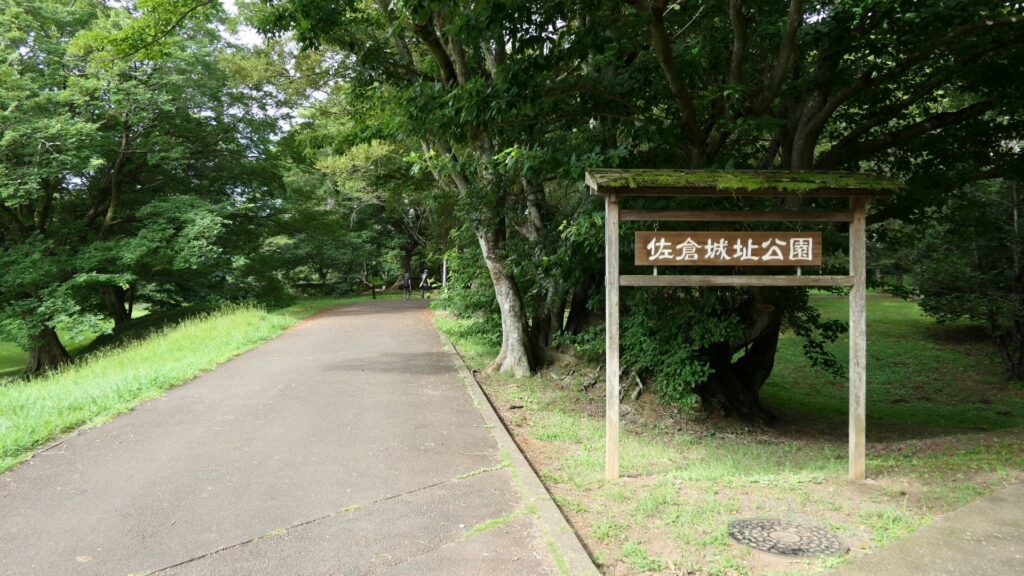
Rare Remaining So-Gamae structures on Plain Area
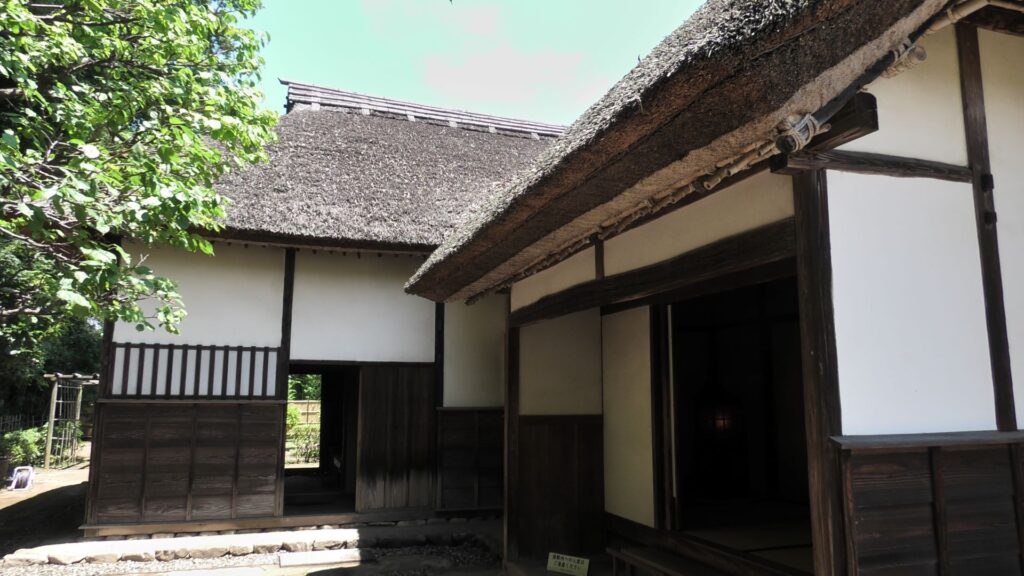
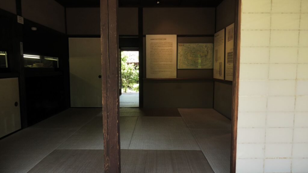
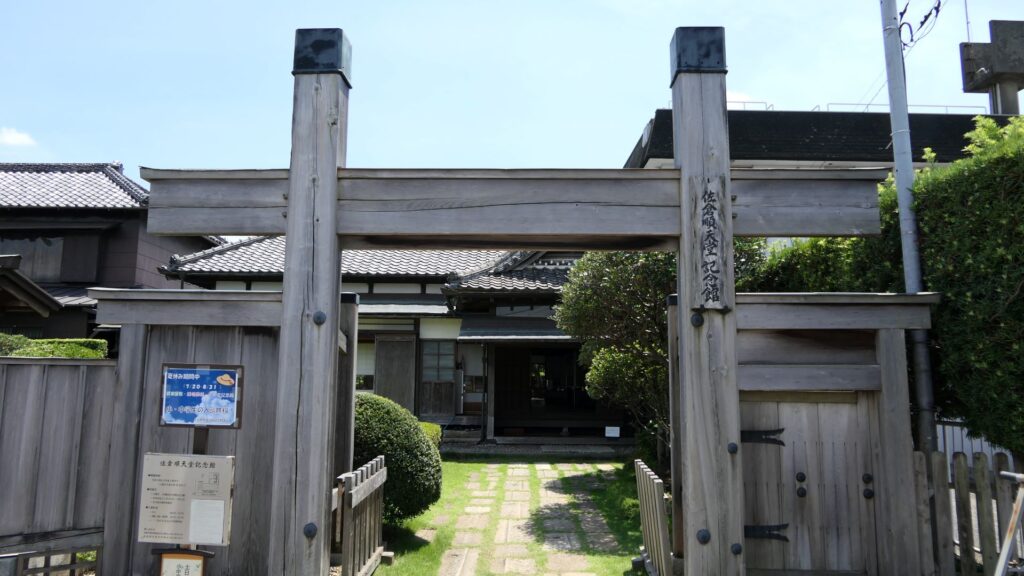
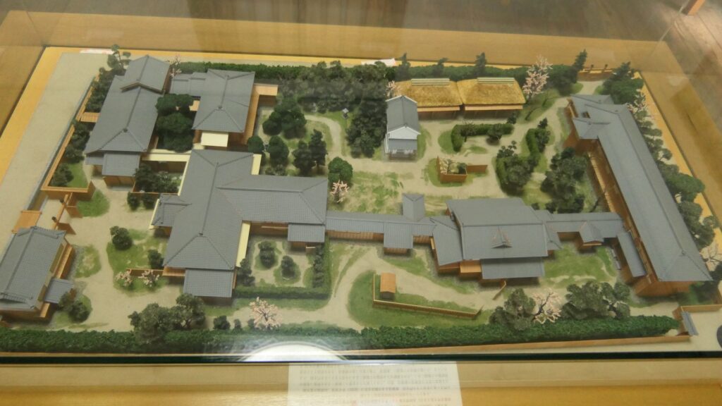
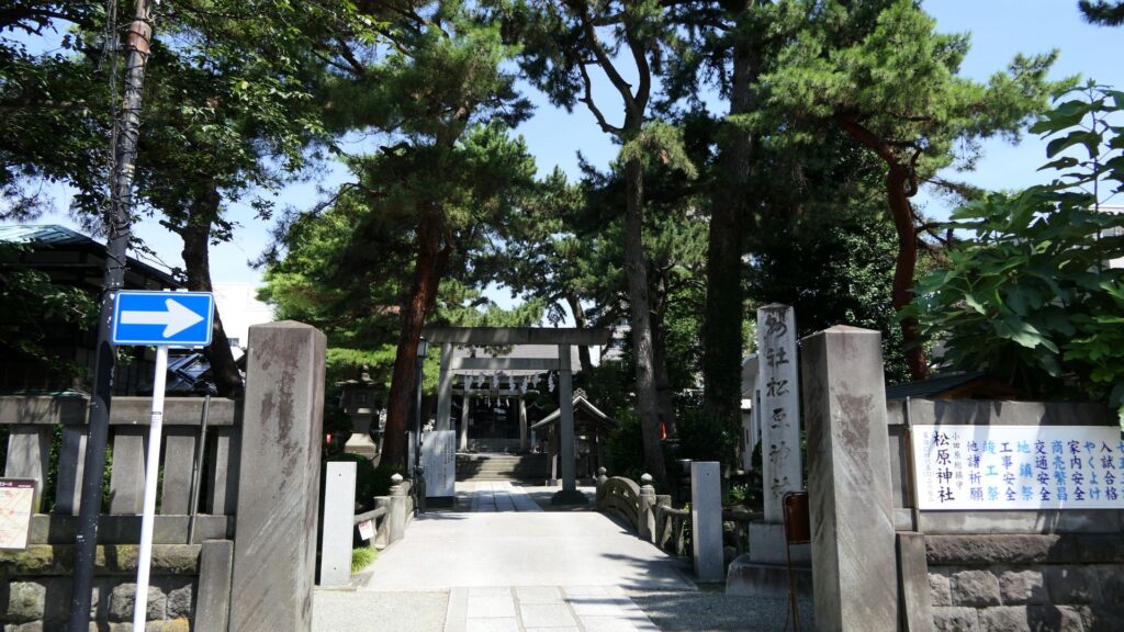
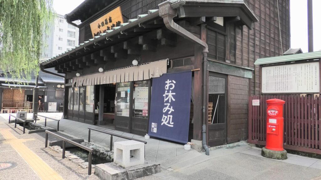
Unfortunately, there are only a few remaining structures of So-gamae on the plain city area. First of all, it might y be better to walk the old Tokaido Road to the east. The starting point would be Matsubara Shrine, or a rest station called “Odawarajuku-Nariwai-Koryukan”, which are located at the center of the old transportation hub of Odawara.
The Matsubara ShrineThe rest station
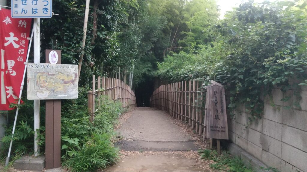
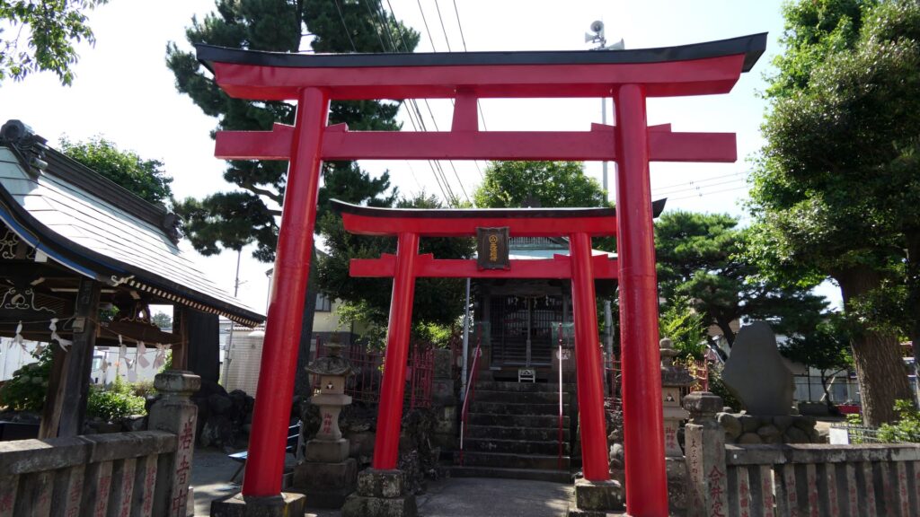
It would be more comfortable to go on Kamaboko Street, where there are many traditional Japanese fish cake (which is called Kamaboko) shops are located, which is also similar to the route of the old Tokaido Road during the Sengoku Period. If you walk along the street for a while, you will eventually reach Hojo Inari Shrine. The shrine was built by the Hojo Clan and at the southeast corner of the So-gamae structure.
The Hojo Inari Shrine
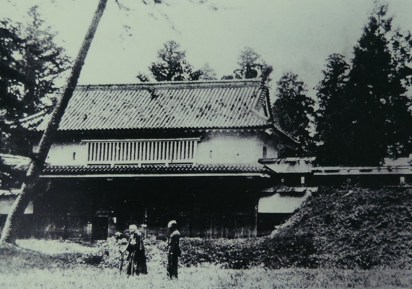
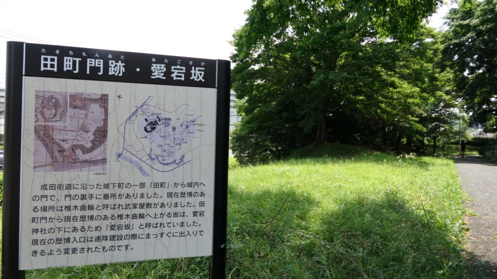
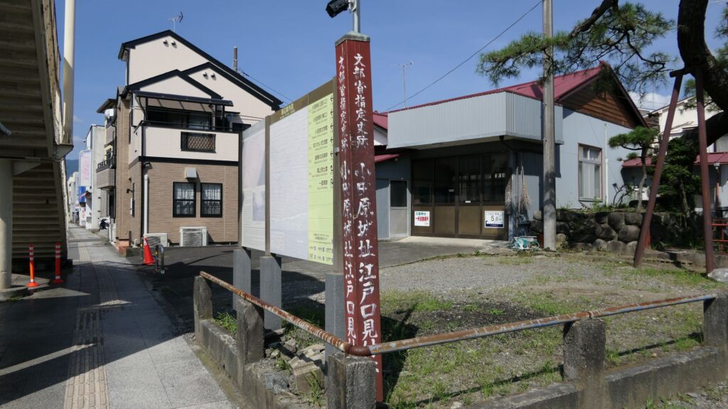
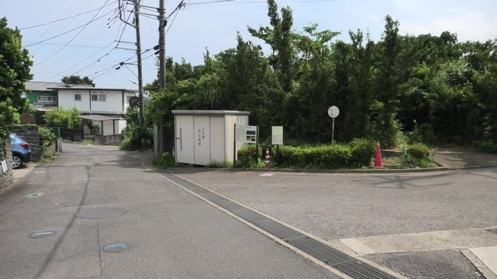
If you turn left to the north of the shrine, you will soon find the ruins of Edoguchi-mitsuke (which means the gate to Edo). The gate was the eastern entrance of Odawara Transportation Hub during the Edo Period. It was also the Sannoguchi Gate of the So-gamae structure earlier on. Therefore, the partitions of the gate were used until the end of the Edo Period.
The ruins of Edogchi-mitsuke
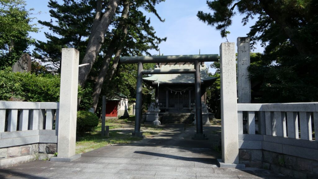
In addition, there is also Sanno Shrine, which is little far from the gate ruins, which was a defensive position of the Hojo Clan outside the So-mgamae during the Battle of Odawara. The only direct fighting during the battle happened at this site.
The Sanno ShrineThe ground of the shrine looks like a defensive position
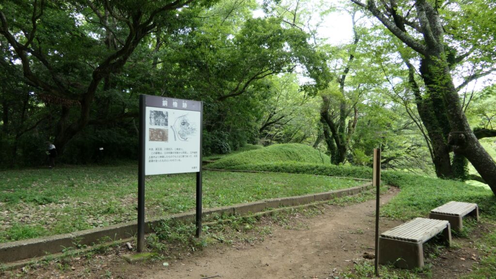
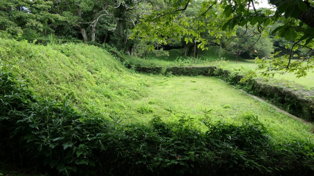
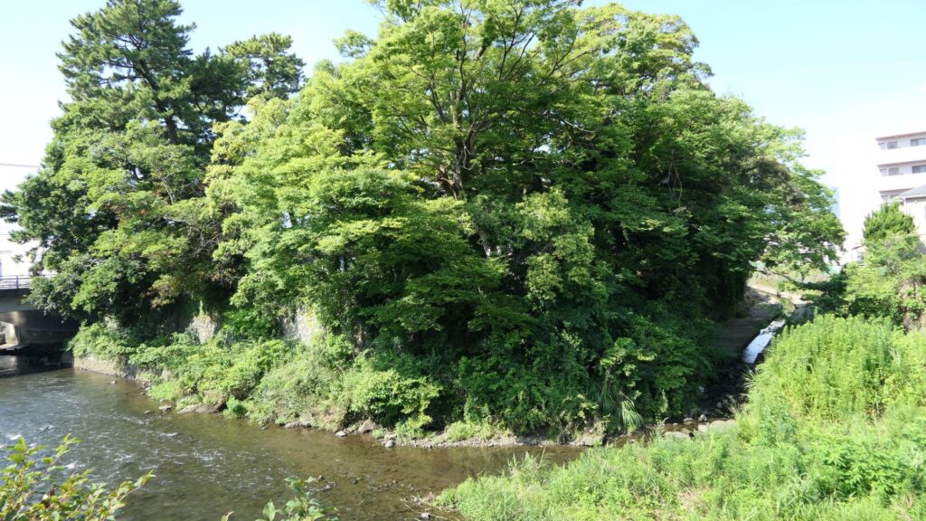
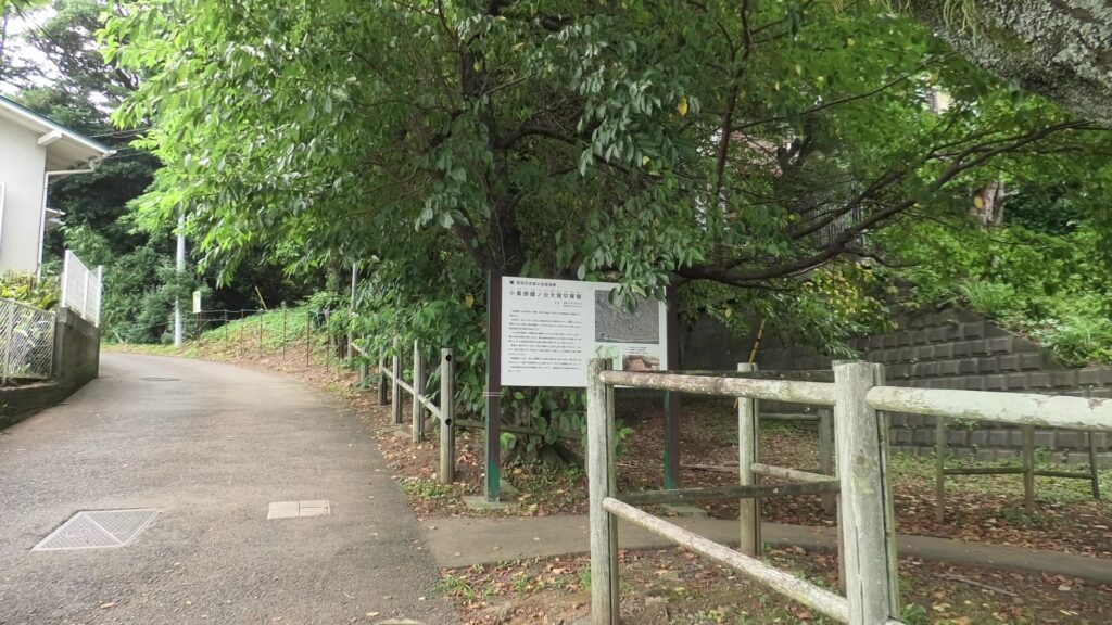
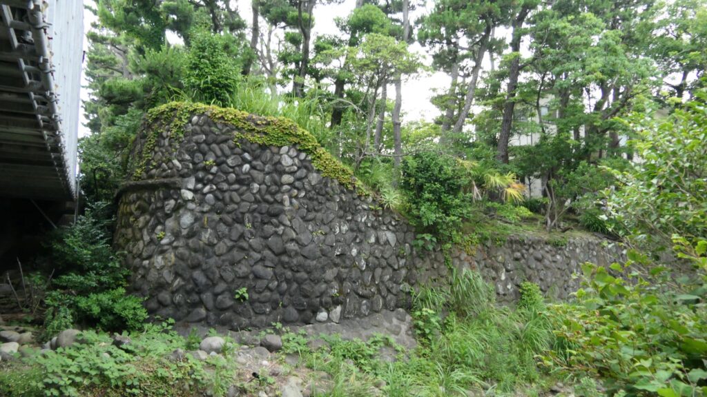
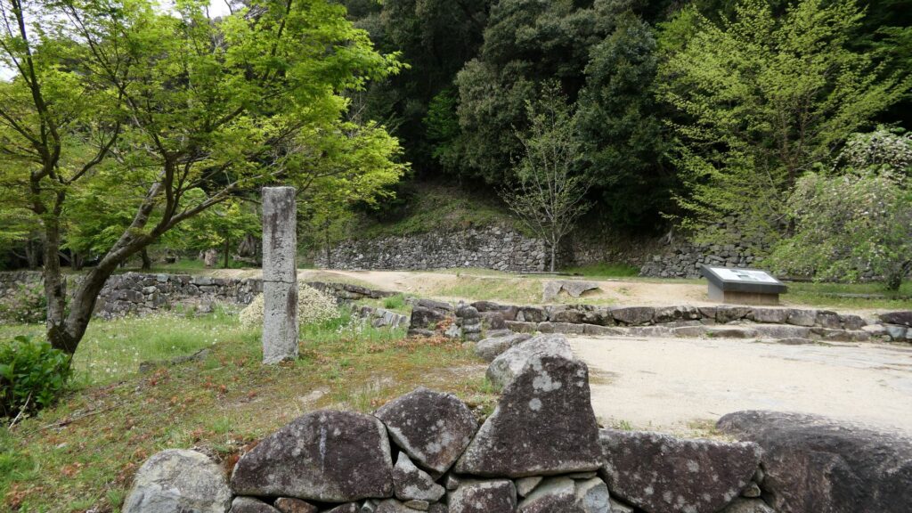
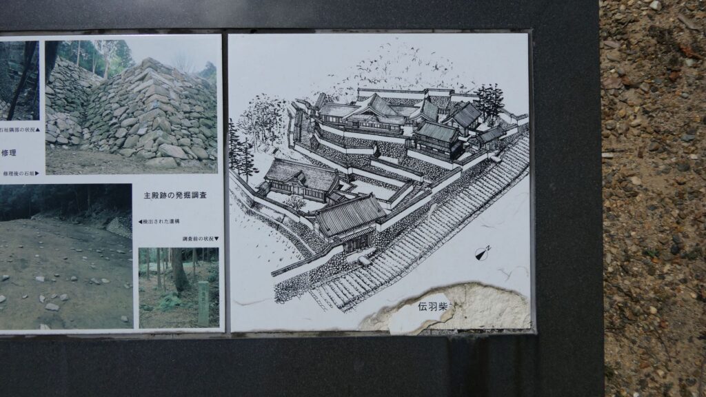
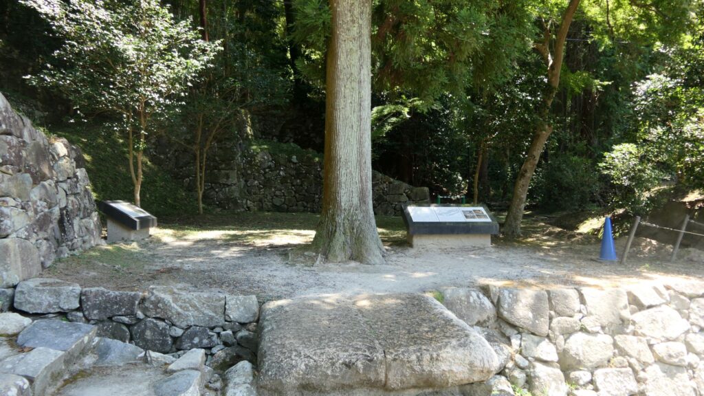
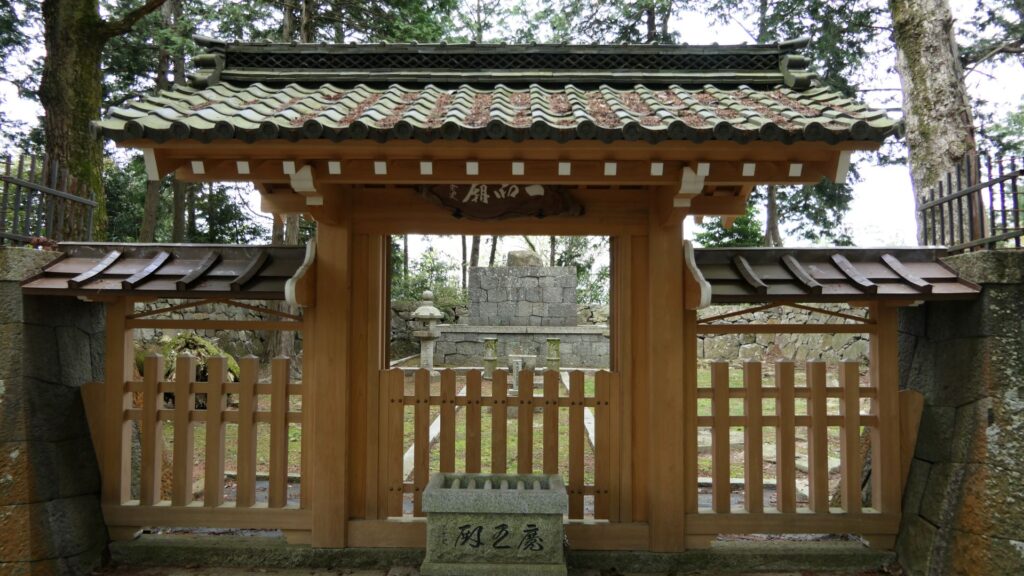
If you go on the path beside the gate ruins, you will eventually arrive at one of the few remaining structures of So-Gamae in the city area. It is called, Renjoin Temple Earthen Walls, which is about 100m long and about 3m high. It was originally set with a moat and more defensive than this single unit. You will see a large dent on the walls, which was caused by the Odawara air raid in 1945 during World War II. The ruins had a long history through the multiple periods.
The Renjoin Temple Earthen Walls
Remaining Structures on the Hill Areas
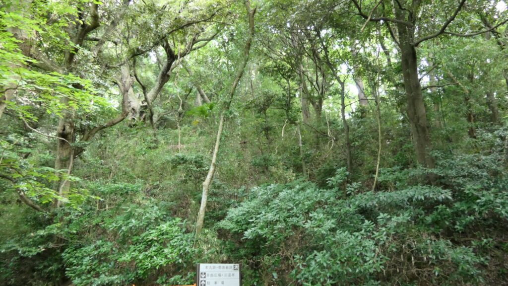
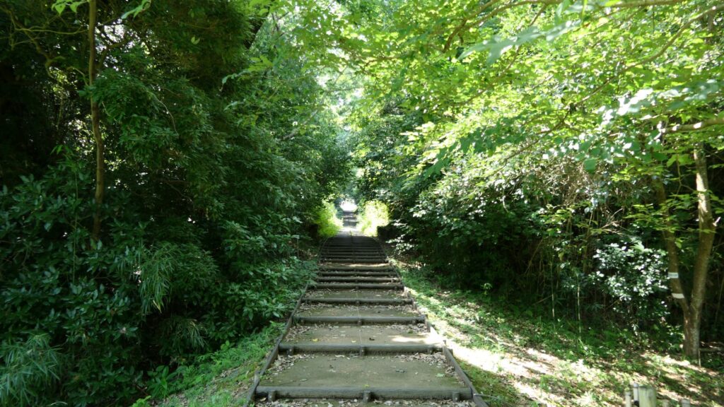
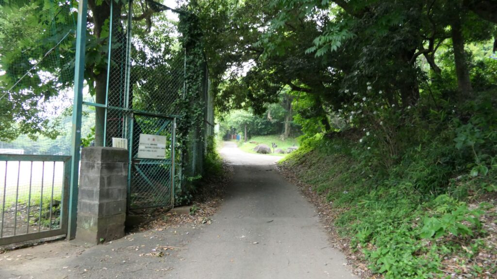
An easy way to the So-gamae structure on the hill area is to go on the opposite street of a park, called “Medaka-no-gakko”. The street will go up on Yatsu Hill, one of the hill areas behind the Odawara city area. You will eventually find the ruins of Shiroshita-Haridashi. Haridashi refers to the overhanging part of the So-gamae structure. The defenders could have lookout point of the attackers and could counterattack the side from the site. The remaining structure is the base of the overhanging part. That’s why the line forms a right angle.
The ruins of Shiroshita-Haridashi.
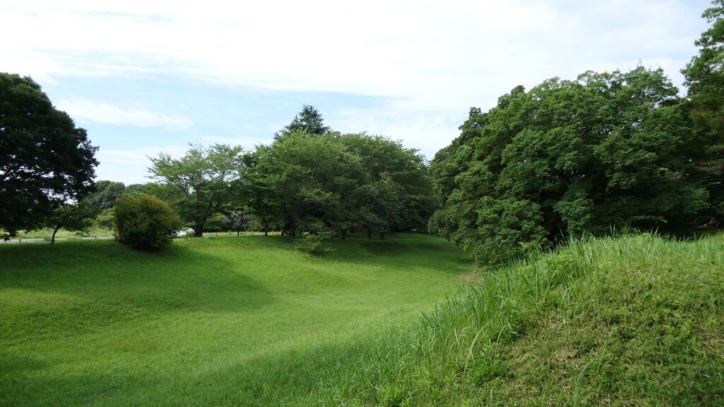
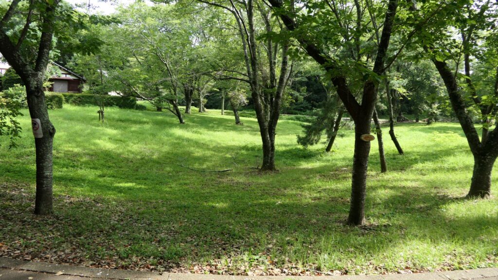
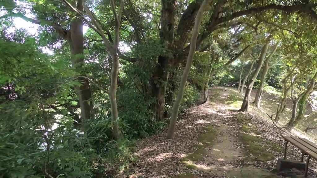
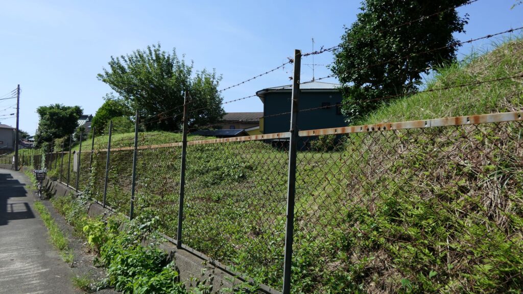
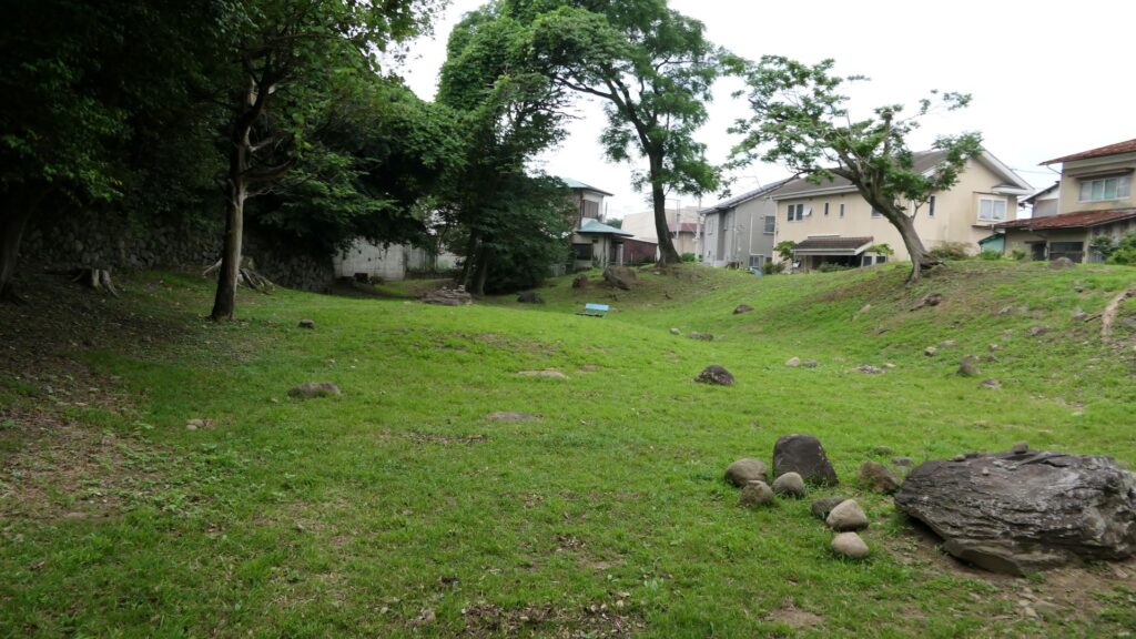
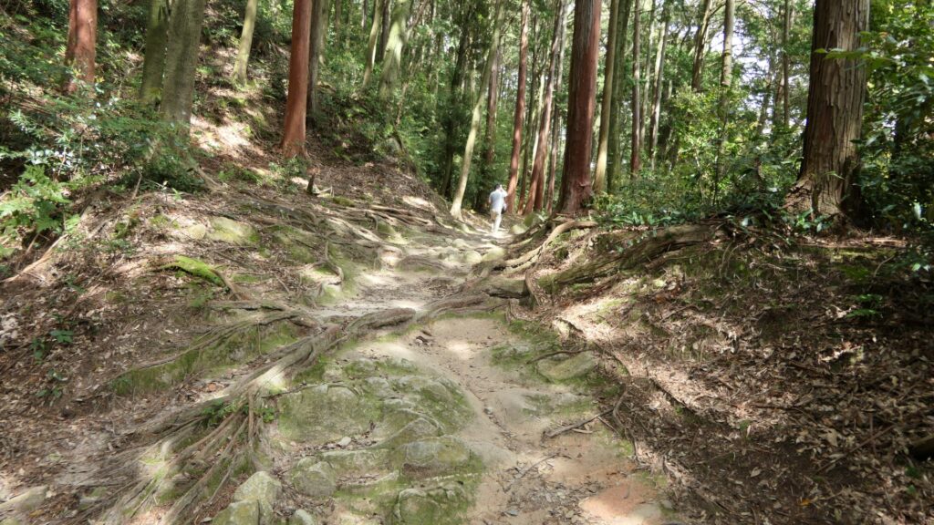
You can also look around the remaining dry moats along the hill. However, most of them are currently farms now, where visitors are not allowed to enter.
The dry moats which have become farms
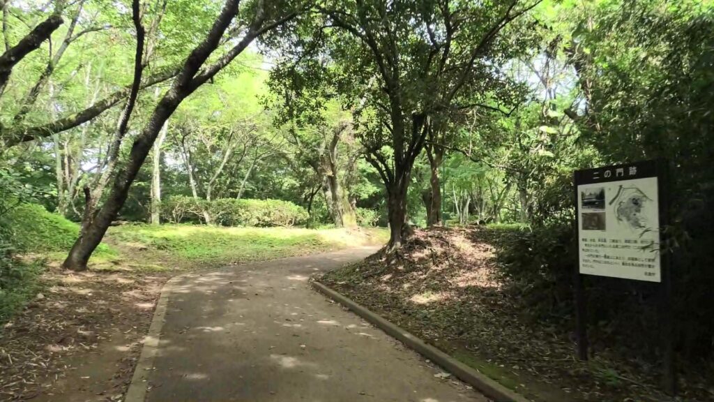
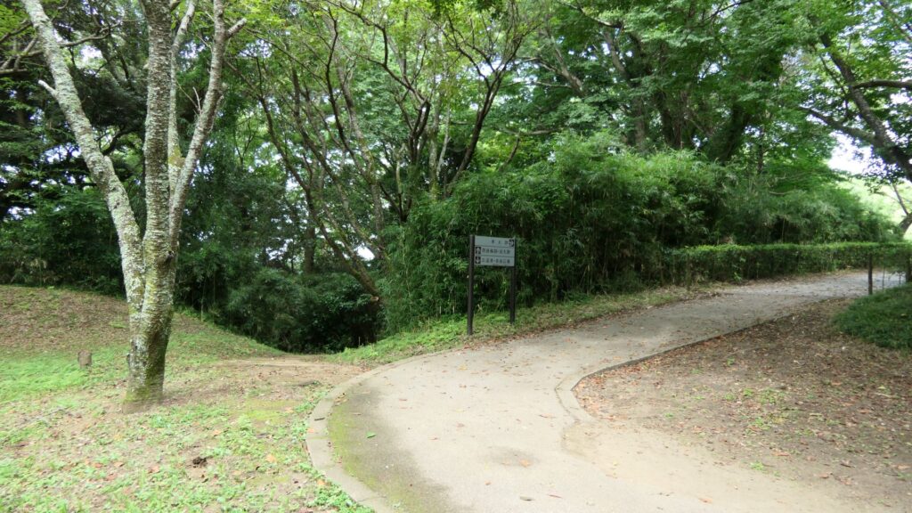
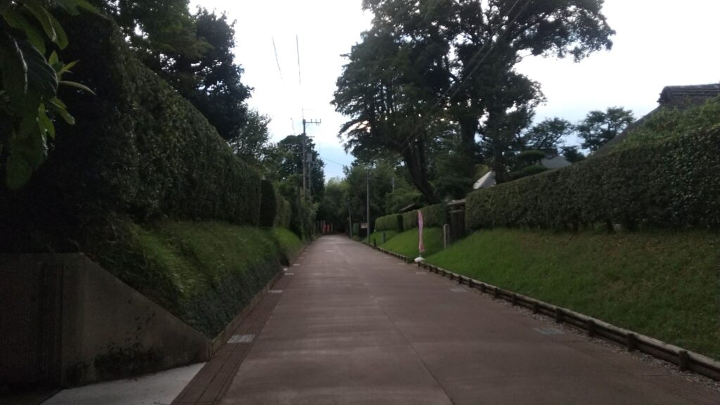
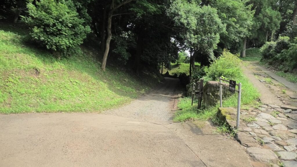
If you continue to go along the street for a while, you will eventually encounter a three-way intersection. Turn right at the intersection, then you will be able to travel on the So-gamae structure easily.
The three-way intersection
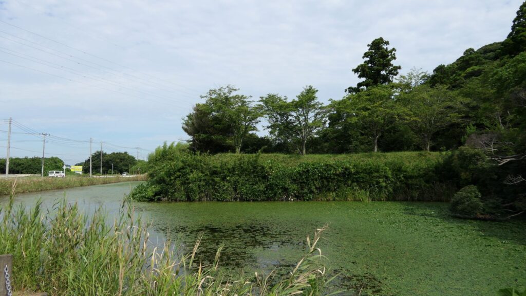
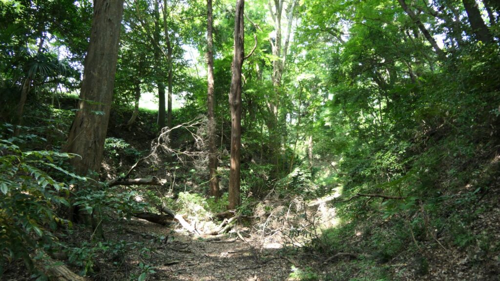
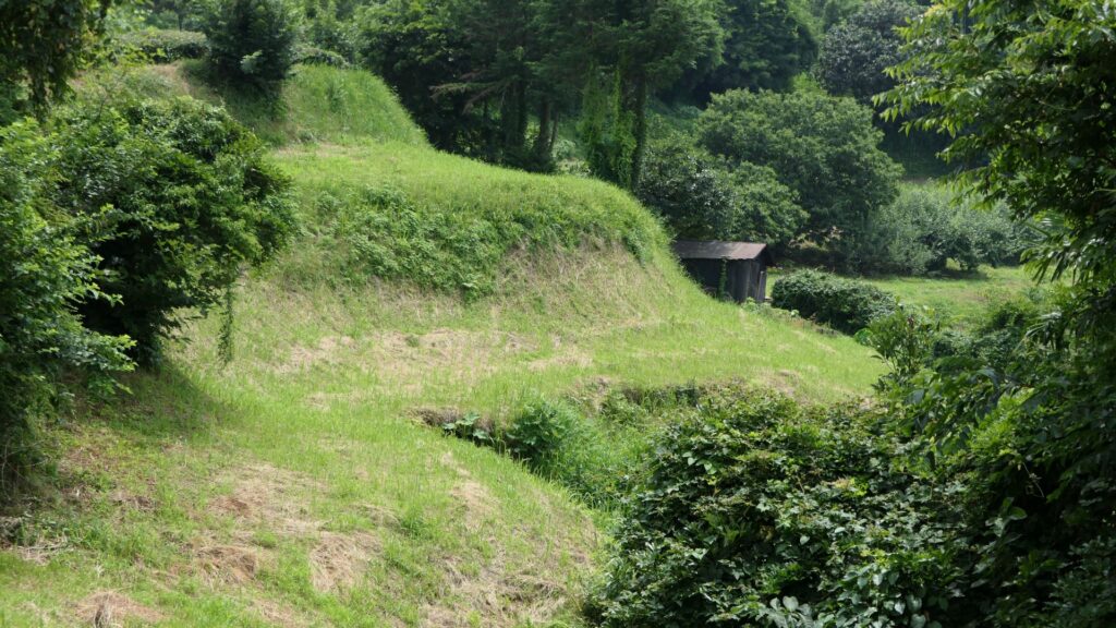
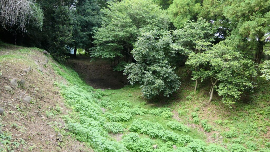
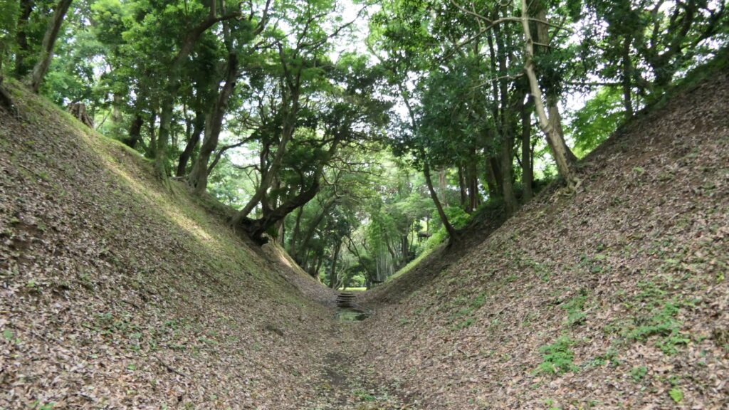
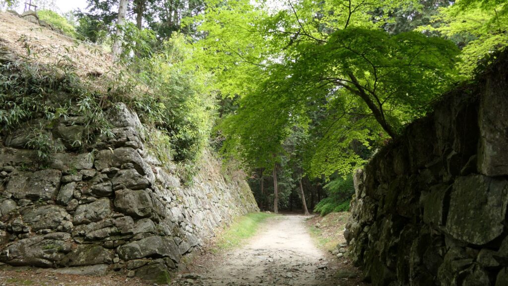
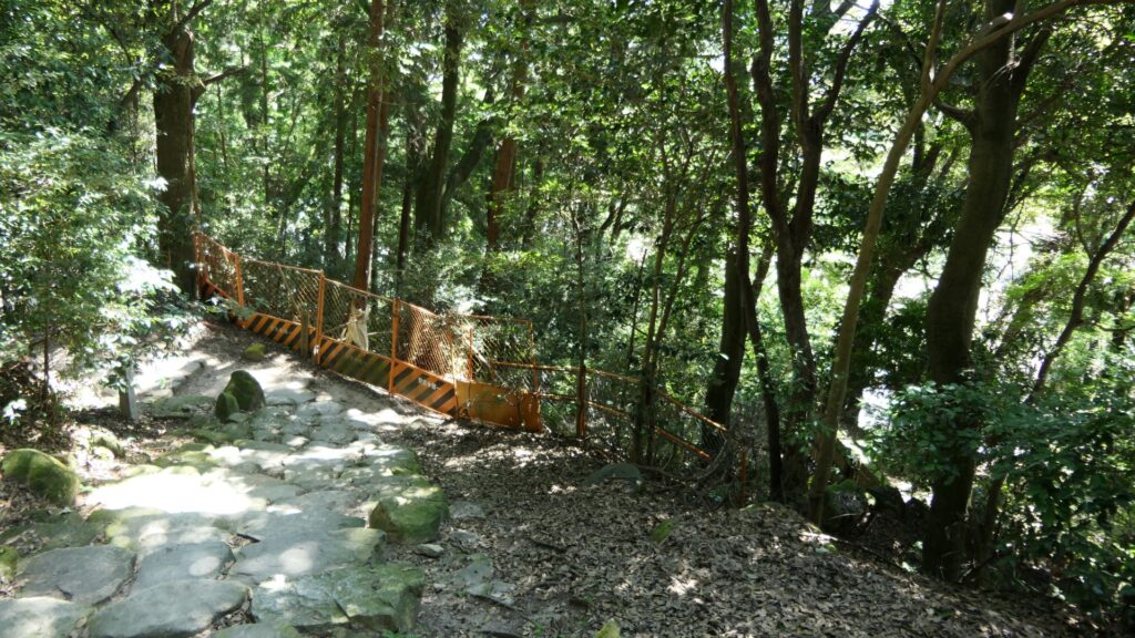
After a while, you will be at Yamanokami-Horikiri. Horikiri refers to a ditch separating a hill in order to avoid the enemies from attacking through the hill. If you go to the bottom edge of the Horikiri, you will find the dry moat of the So-gamae structure touching the Horikiri at right angles. However, the moat is much deeper than the Horikiri. That means the enemies that fell inside the moat, would not be able to invade the Horikiri easily.
Yamanokami-HorikiriLooking at the moat of the So-gamae structure from the edge of the Horikiri ditchLooking up the earthen walls of the So-gamae structure and the ditch from the bottom of the moats
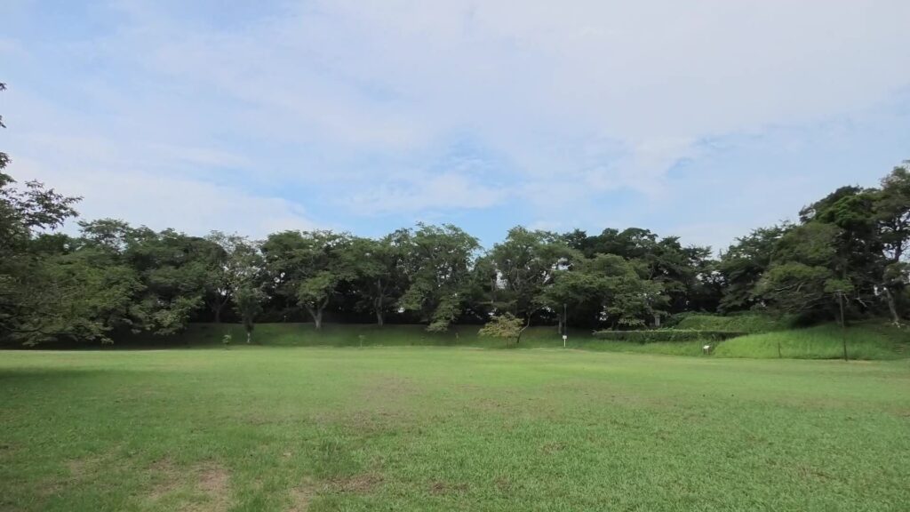
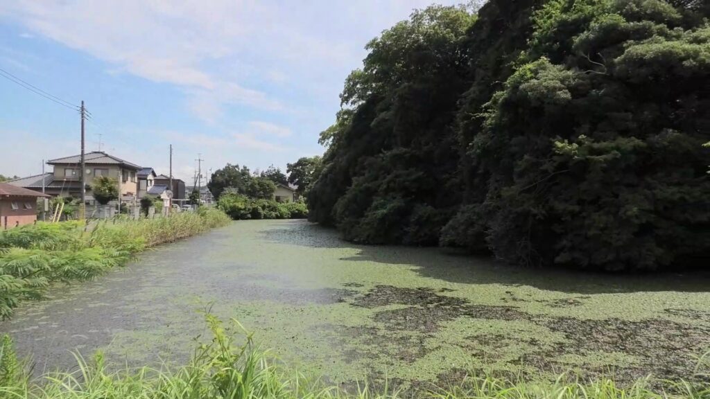
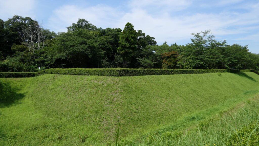
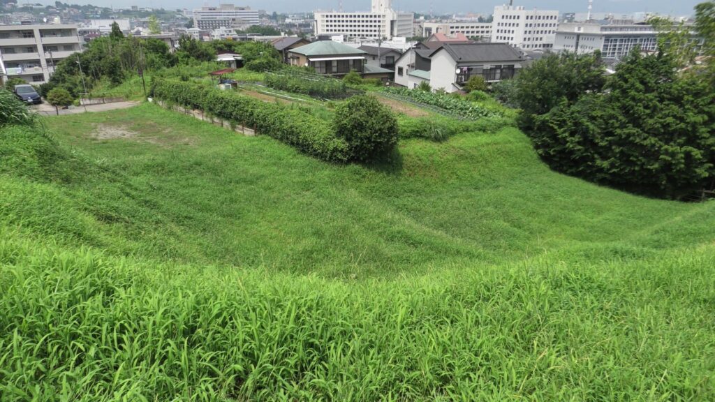
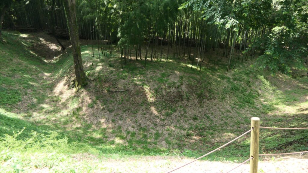
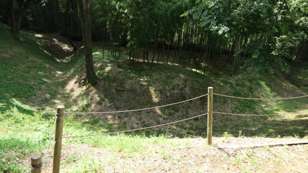
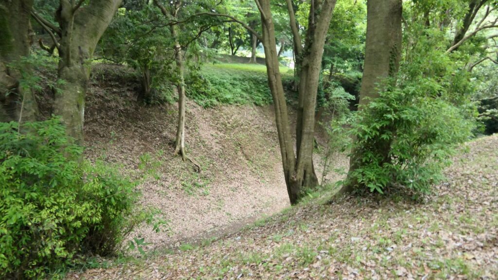
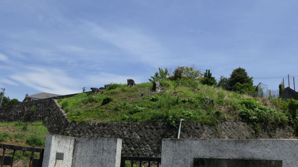
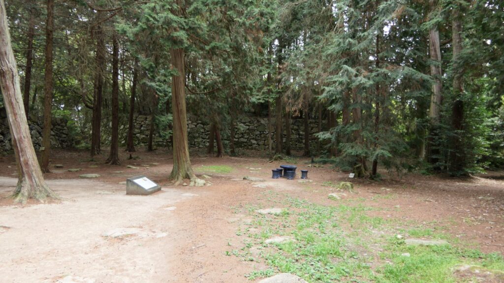
Next comes Inari-mori (which is the town name). At this site, the earthen walls and dry moats of the So-gamae makes a dent inwards along the natural terrain. The outside of the depression looks like an isolated island. The Hojo Clan also built earthen walls on the island in part to not allow enemies to stay there. This site is one of the most intact parts of the So-gamae structure. The moats managed to keep their original conditions of about 10m deep and over 50-degree slant. This is probably why the visitors are kept out from the moats by ropes and poles.
Inari-moriVisitors can only see the ruins
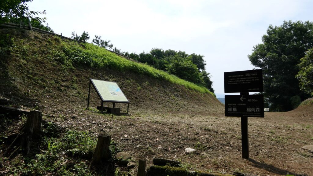
Large Ditchies of Komine Okane-no-dai, Highlight of So-gamae Structure
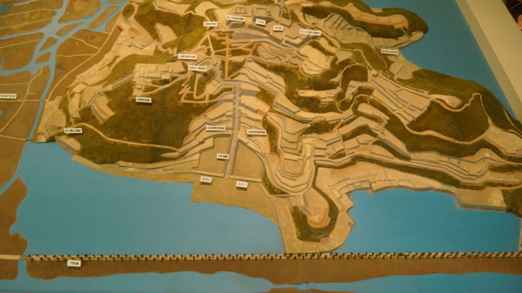
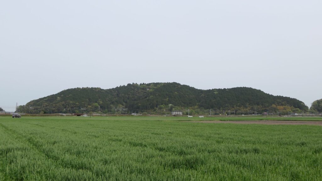
The northern part of Odawara City is surrounded by the three hill areas: Hachimanyama, Tenjinyama, and Yatsu. Komine Okane-no-dai hill is part of the Hachimanyama hill area and the highest among the areas. Therefore, the hill was the most important spot for the Hojo Clan in terms of protecting Odawara Castle from invasion. The clan eventually separated the hill by building three ditches. If you walk from the Inarimori Ruins along the So-gamae structure, you will reach the intersection to the three ditches. If you turn right, you will be at the western ditch, left to the eastern ditch, or if you keep going straight, it will lead to the central one.
The intersection to the three ditches
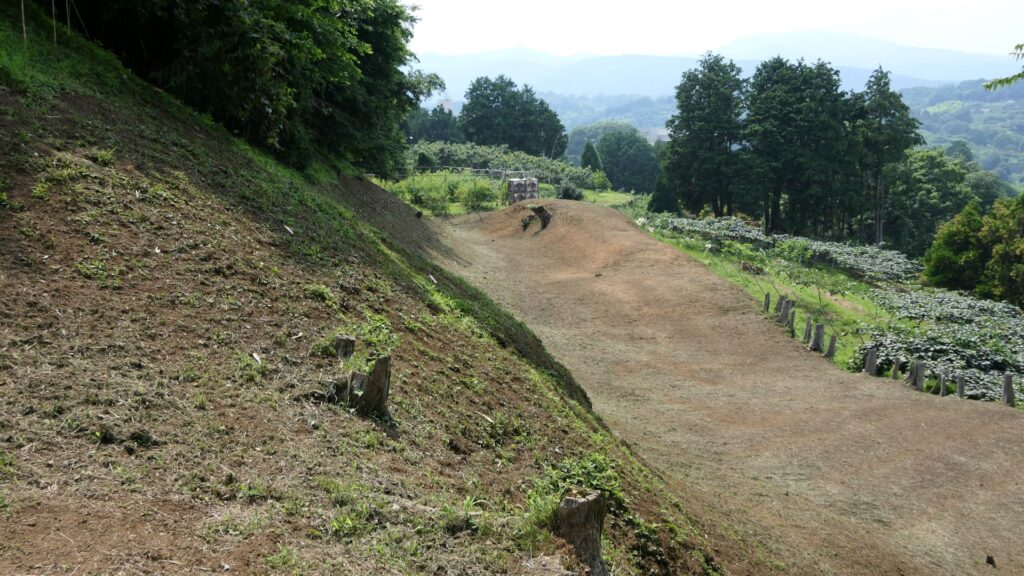
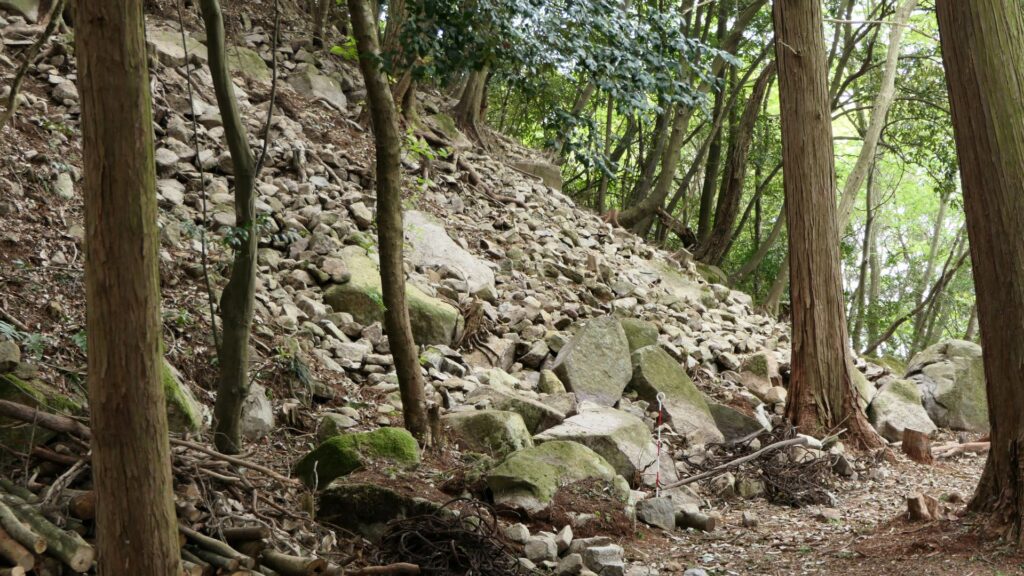
The western ditch is at the outermost area on the hill, which was originally over 200m long, but is now only 150m long. It was built just before the Battle of Odawara. The ditch seems to get shallower and gentler compared to the original condition. However, if you look at the bottom of it, you can still see something that resembles partitions, which may be the traces of the Shoji-bori system. The edge of the ditch is still connected to the moat of the So-gamae structure.
The western ditchThe bottom of the ditch
Next comes the central ditch, which was built at the same time as the western one. The bottom of the ditch is now used as a modern road. You can still see some of the earthen walls around it remaining. A connecting road between this ditch and the eastern ditch still exists.
The central ditch
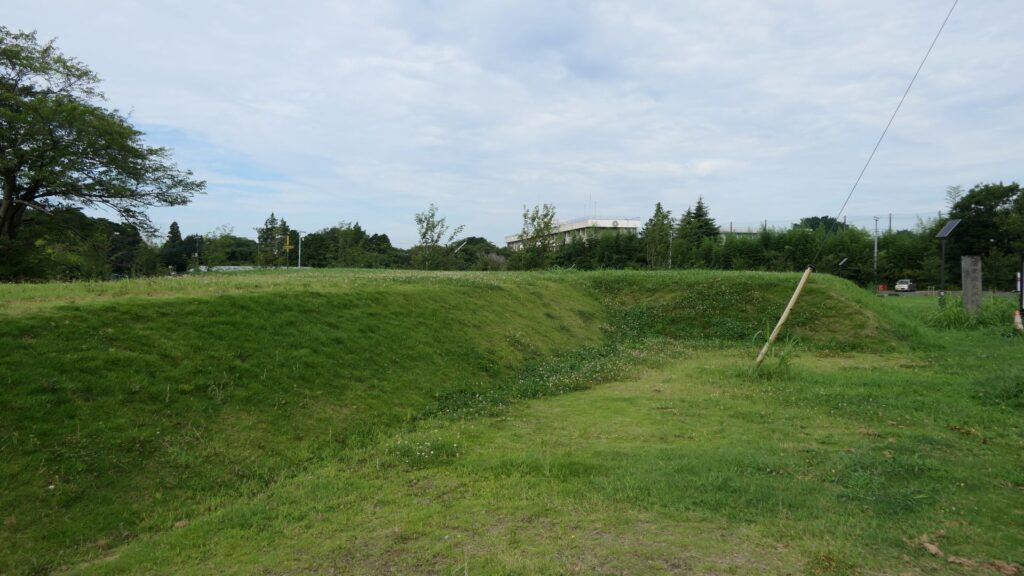
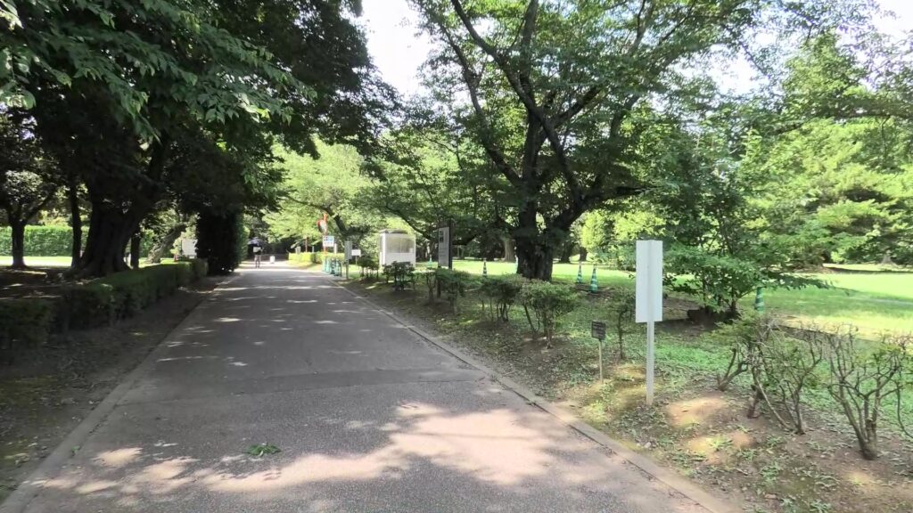
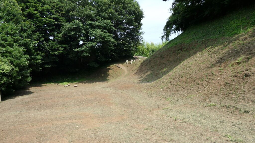
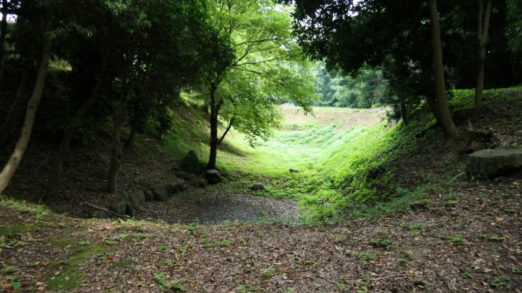
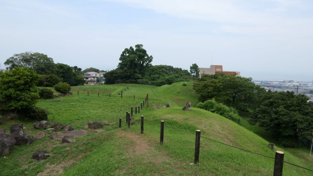
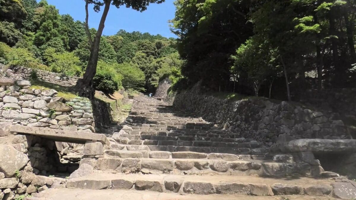
You will finally arrive at the eastern ditch, which has been developed as a park. You can easily walk the bottom of it. This ditch is the most intact one among the three ditches, which is 280m long and 25 to 30m wide, the same as the original conditions. It is currently 8 to 10m deep, but it was originally about 12m with the Shoji-bori system. Its slant is about 50 degrees, which may be the same as original one, too. The bottom of the ditch is not straight but rather curved, which made it difficult for enemies to walk through smoothly.
The eastern ditchThe ditch seen from its earthen walls aroundThe southern entrance of the ditch
Where is the goal of the So-gamae?
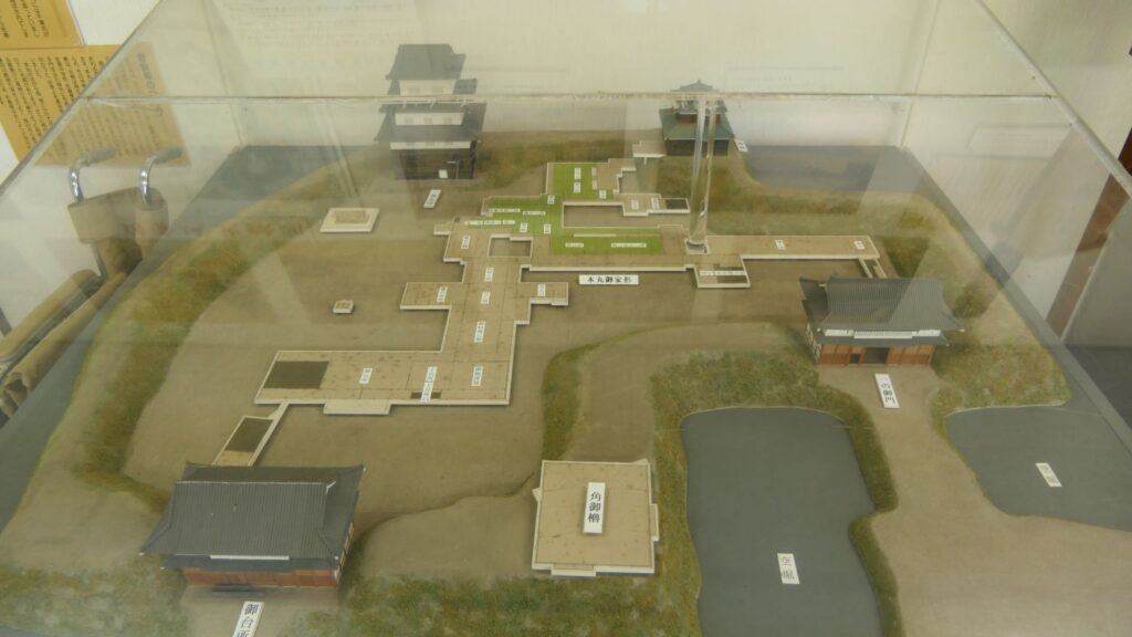
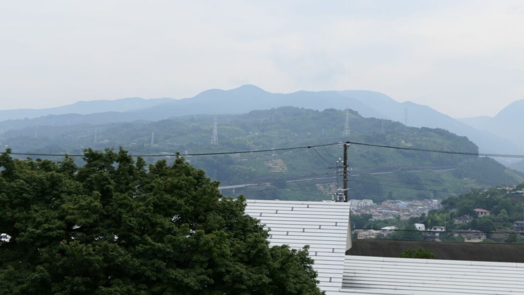
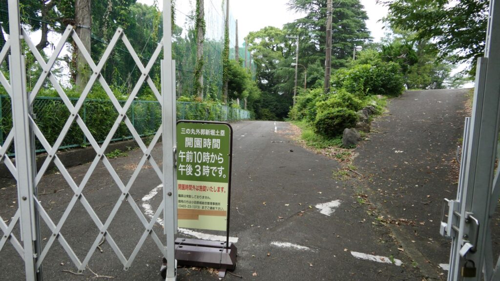
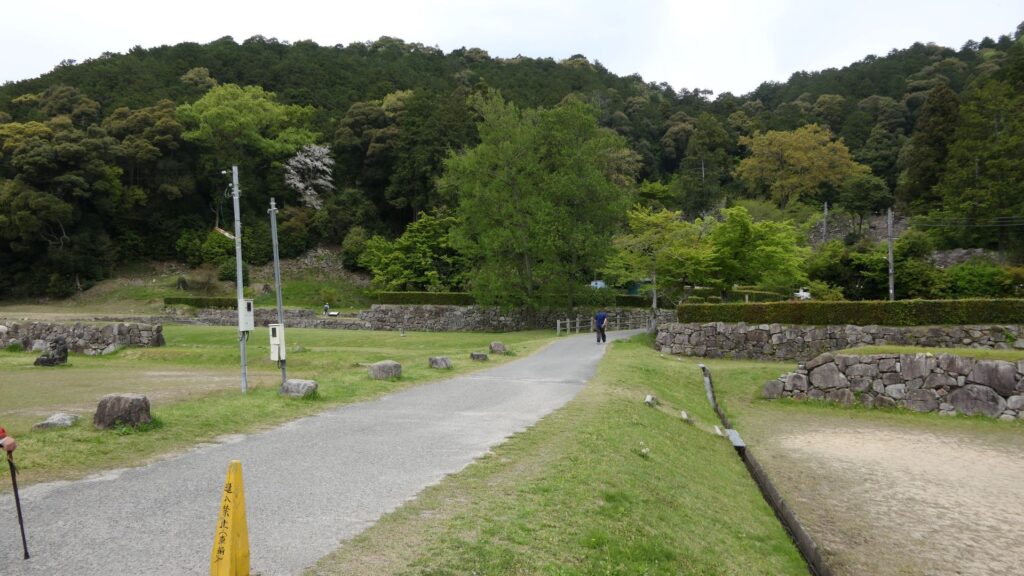
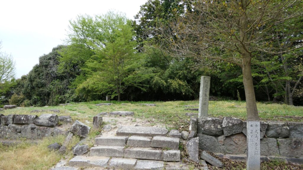
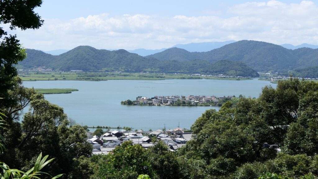
You will eventually go down on the hill to the New Moats and Earthen Walls of the Outer Third Enclosure. This place is where Ujimasa Hojo launched the constructions of the So-gamae structure. You can see a great view to the west from there, including Ishigakiyama Mountain where Hideyoshi Toyotomi built his Ishigakiyama Castle during the Battle of Odawara Castle. There is another interesting story where the Hojo side was very surprised to see the completion of Ishigakiyama Castle after all the trees around were cut down, called “Ichiyajo” which means “one night castle” (a castle that only took one night to build). However, the story may be doubtful because the castle ruins can clearly be seen from the site. In addition, please be mindful that the site closes at 3:00 PM, which is much earlier than other historical sites.
The New Moats and Earthen Walls of Outer Third EnclosureThe view to the west from the siteYou need to check out the opening hours of the site
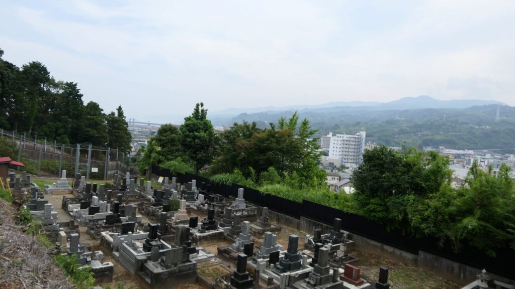
You will next walk down to the Tenjinyama hill area. This area also has walls of the So-gamae, called the Earthen Walls, at the west of Denjoji Temple. The walls are located in front of the elevated railways of the Shinkansen (bullet train) and used as a graveyard. If you look up the site from below, you will realize this structure uses natural terrain as well.
The Earthen Walls, at the west of Denjoji TempleLooking up the walls
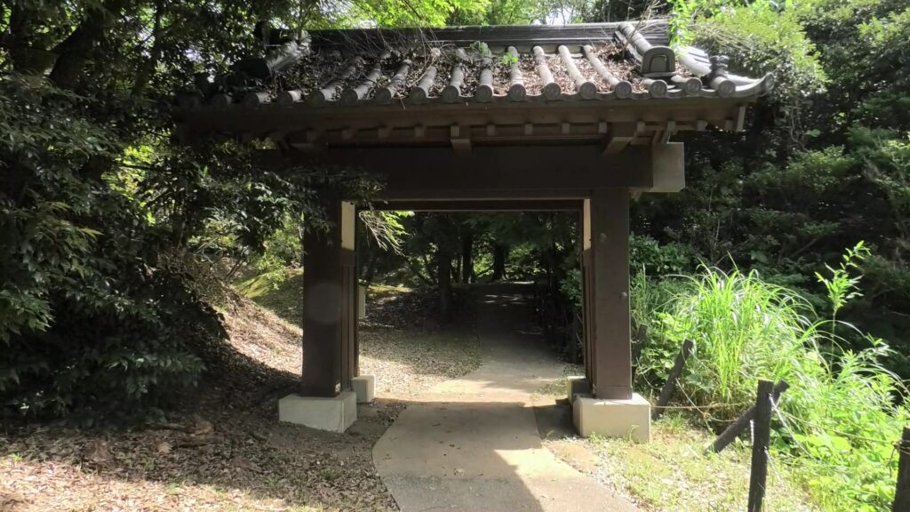
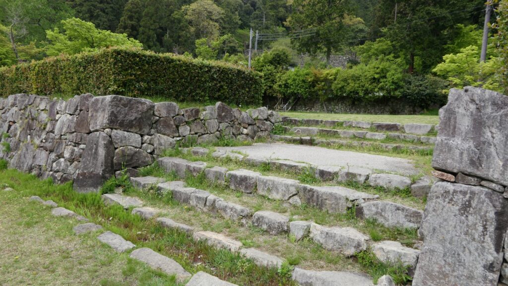
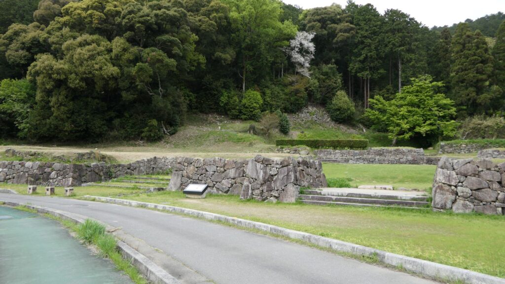
After returning to the city area, you should also check out Hayakawa-guchi Ruins (Guchi means entrance or route), one of the few remaining items of the So-gamae structure on the plain area. The Hayakawa-guchi entrance was the front line to the west, where the Toyotomi troops attacked from. Therefore, the entrance was fortified heavily by doubled earthen walls and moats. If you enter the ruins, which have been developed as a park, you will eventually find that the park is sandwiched between the remaining doubled walls.
The Hayakaga-guchi Ruins
Other than that, you will be able to find other remaining earthen walls of the So-gamae structure, which are used as the bases of the modern residences along the seaside. If you find one of them, you will be able to understand that these structures were built on such a place and are still intact for the modern facilities to use. This will conclude the tour of the So-gamae structure.
This base of the modern residence uses the earthen walls of the So-gamae structure (its stone walls were probably added later on)