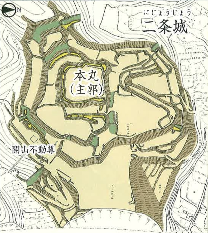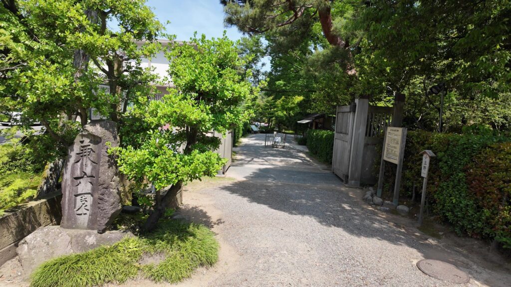
特徴、見どころ(江戸城登城・本丸ツアー)
Introduction
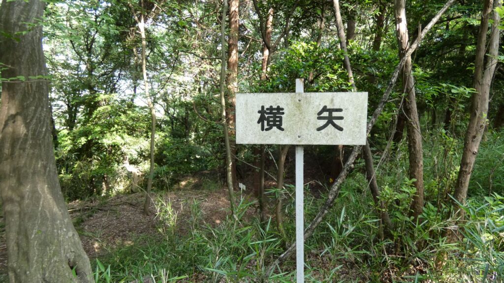
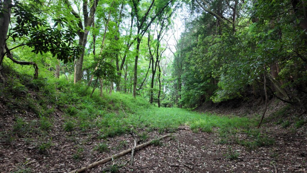
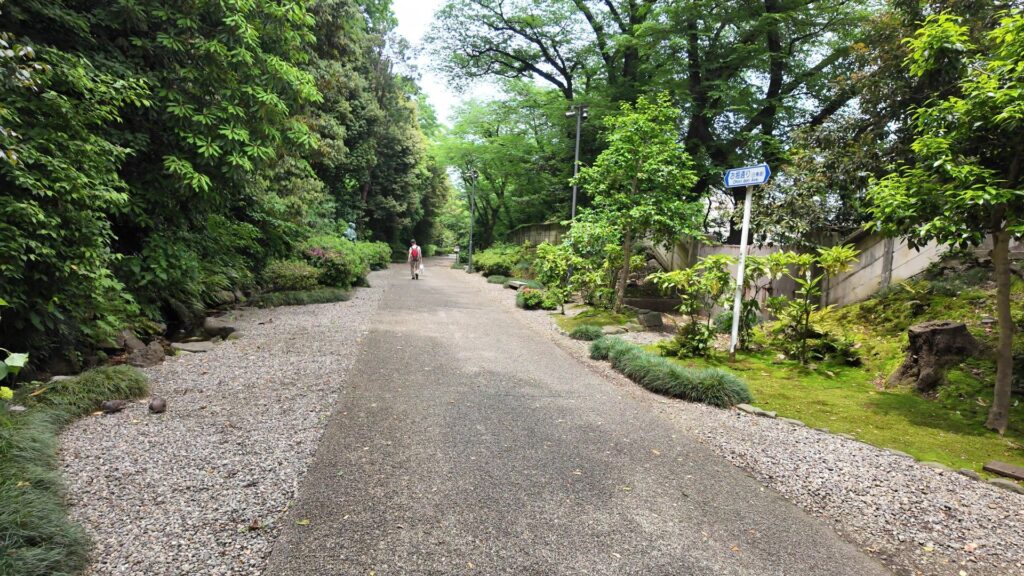
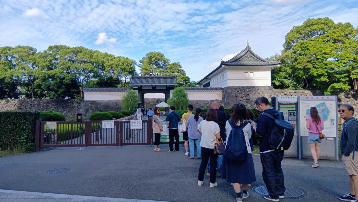
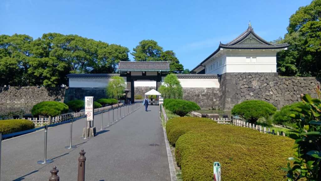
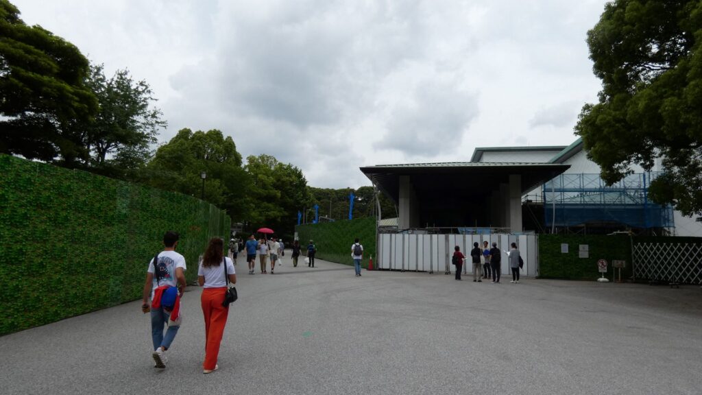
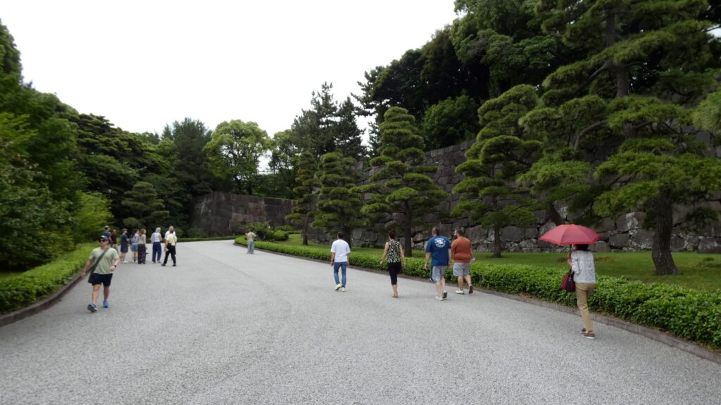
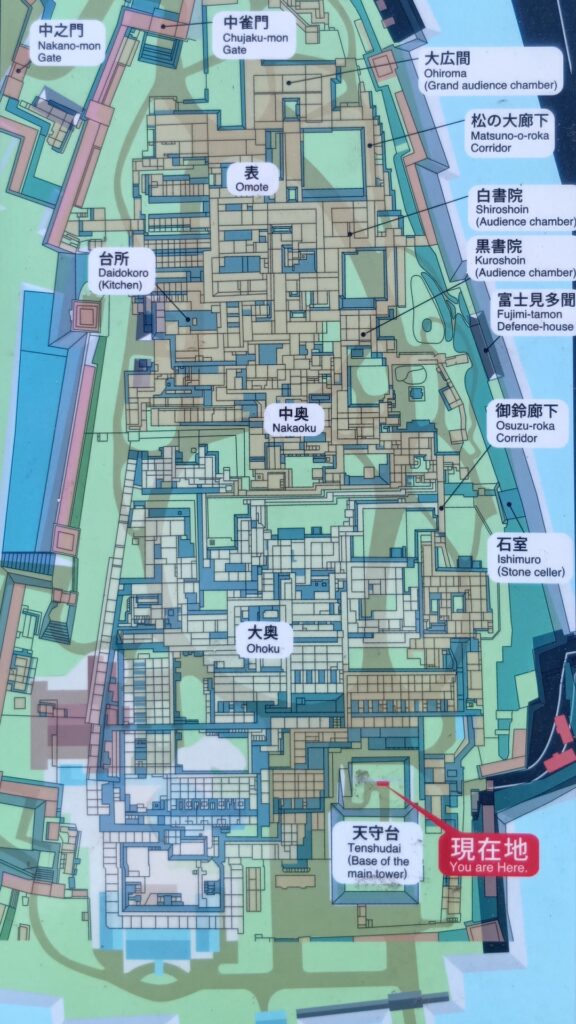
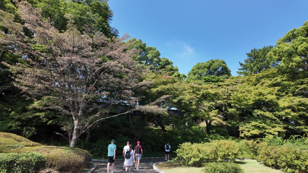
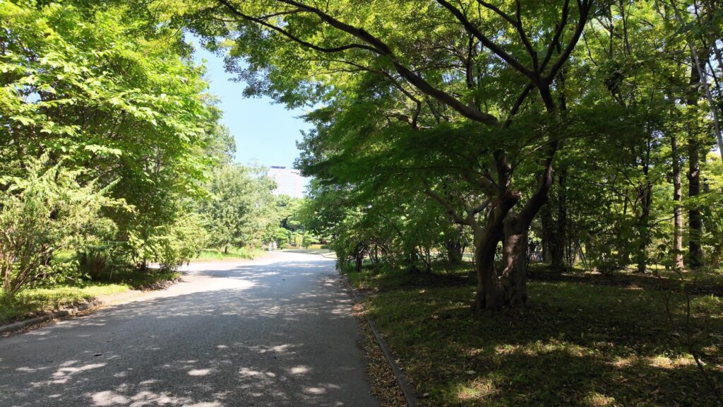
今、皇居東御苑の入口の一つ、江戸城大手門前にいます。随分たくさんの人たちが集まっています。東御苑の開門を待っている人たちなのです。江戸時代には、登城した主君の帰りを待つ家臣たちが集まっていたそうですから、今でもほうふつとさせます。私たちはこれから登城ということになります。大手門から三の丸、大手三の門跡から二の丸、そして中の門跡を経て、本丸の正門・中雀門跡と進みます。続いて、本丸の御殿跡を歩いてみましょう。富士見三重櫓、天守台、天守の模型など目に見えるものもありますが、御殿の建物は想像力で感じましょう。本丸のクライマックスは、なんといっても天守台です。本丸から出たら、外側から本丸の石垣を眺めたり、二の丸の庭園を歩きましょう。三の丸のもう一つの門、平川門を出たところをゴールとしまします。

今回の内容を趣向を変えて、Youtube にも投稿しています。よろしかったらご覧ください。
大名気分で登城
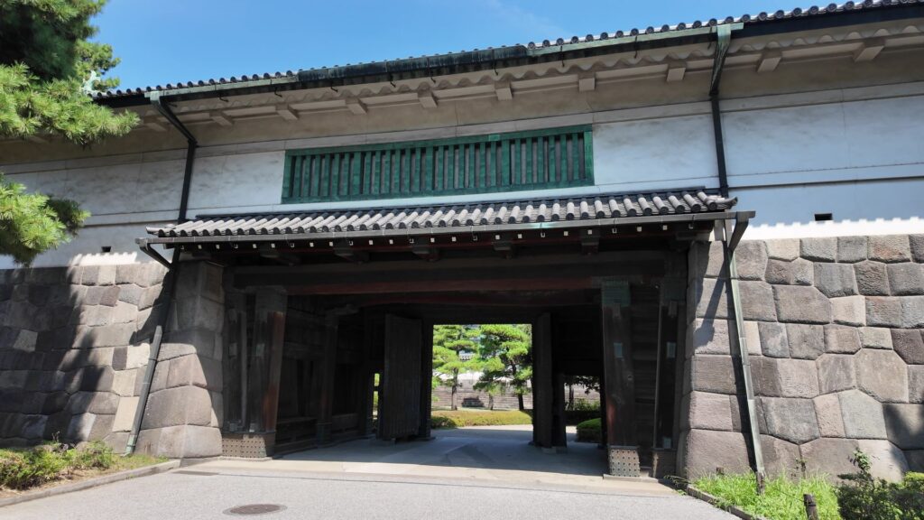
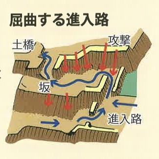
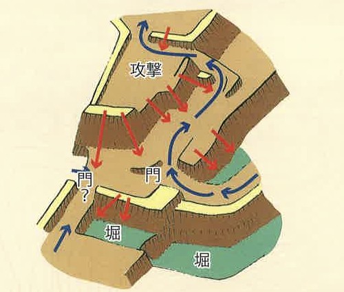
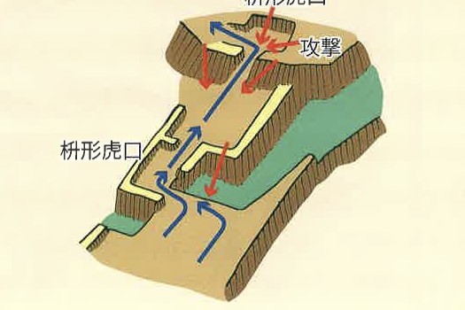
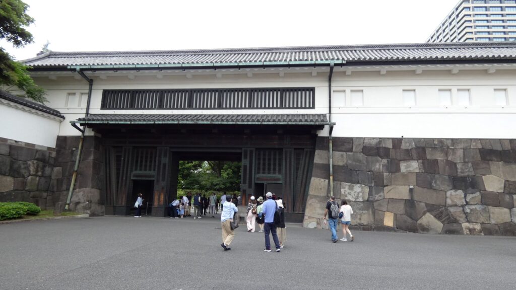
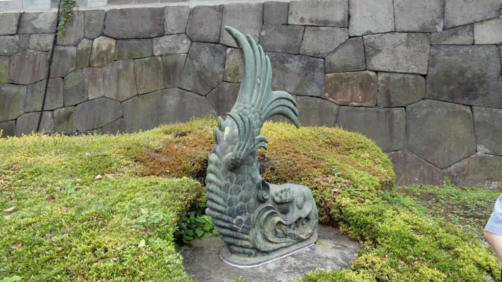
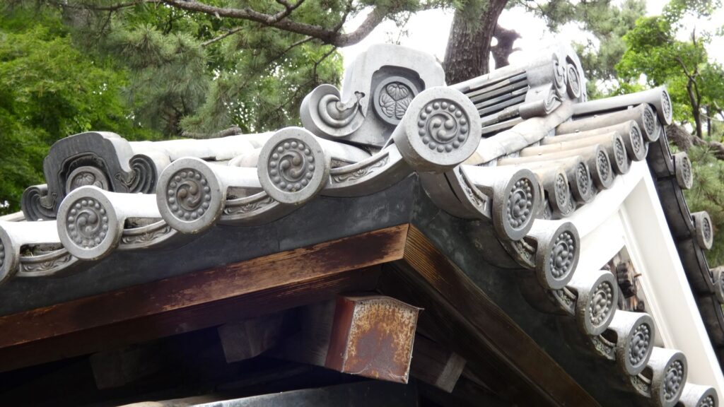
開門しましたので、行きましょう。手荷物検査が終わってから、中に入ります。現在ある建物部分は、空襲で焼けた後に復元されたものだそうです。今でも立派な門と枡形で、さすが、城の正門です。枡形内にはオリジナルの鯱があります。石製の雁木や銃眼も残っています。門を防衛する仕組みです。櫓門をくぐって、三の丸に進みましょう。
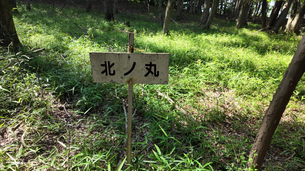
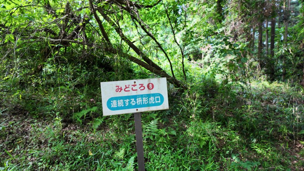
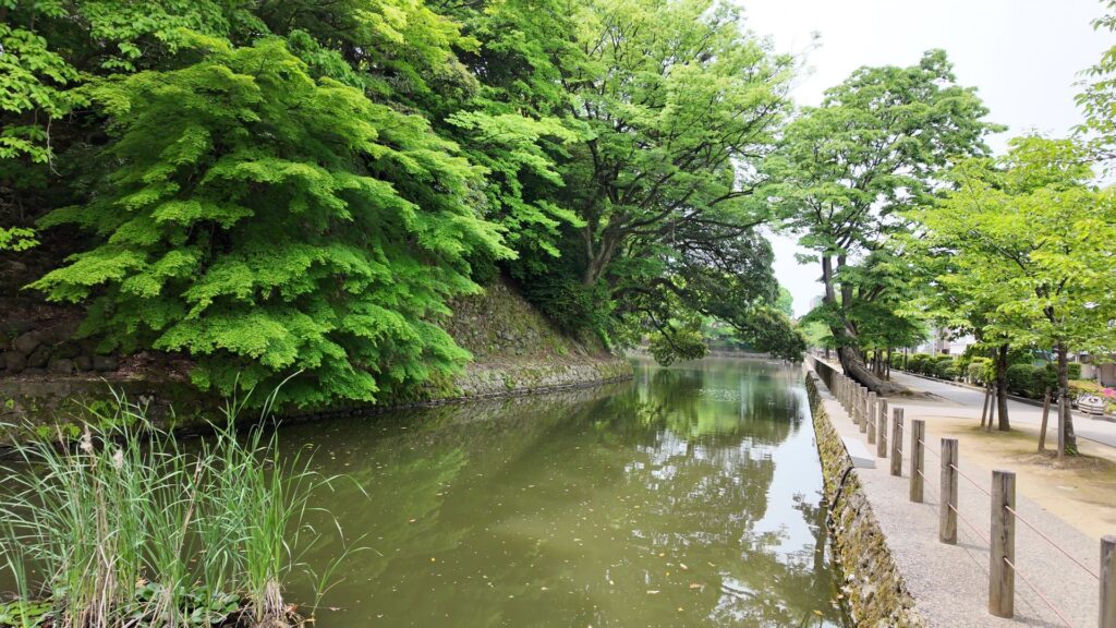
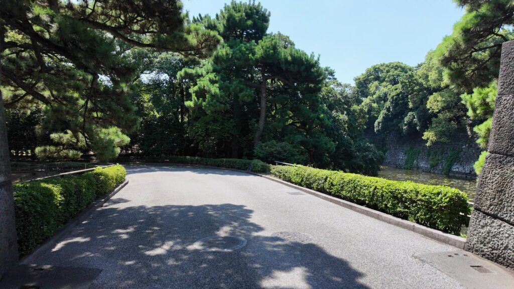
現在の三の丸は、宮内庁などの建物がある場所になっています。次の関門は、大手三の門の跡です。大名も駕篭から降りなければならなかった場所です。ここから先が二の丸なのですが、かつては、この前に堀がありました。横を見ると、堀と櫓群が並ぶ光景が広がっていたのです。門の中には、同心番所が残っています。新しめの三つ葉葵の瓦がありますが、元は菊の御紋だったのが、この場所を公開するときに、わざわざ取り替えたそうです。。同心番所がある場所もまた、枡形になっています。

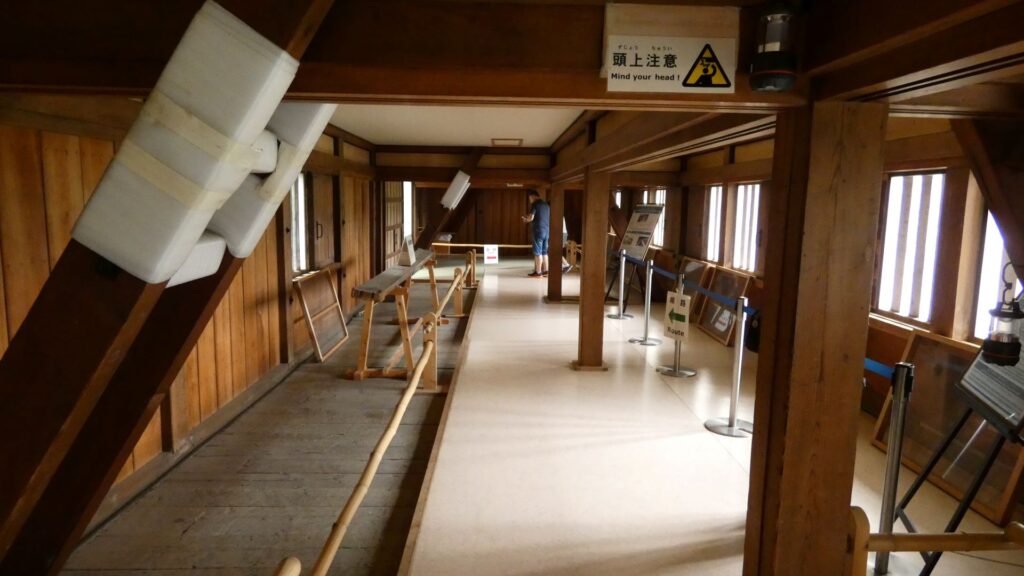
ここからが、もっとすごいです。また番所の建物がありますが。今度のは、ずいぶん大きいです。これは、百人番所で、実際に百人以上の役人が詰めていました。それに、ここにいただけではなく、ここで身支度をして、各所の警備に向かった役人もいたそうです。警備センターみたいなところだったのでしょう。24時間体制で警備をしていて、さすが江戸城、現代のガードマンも顔負けです。
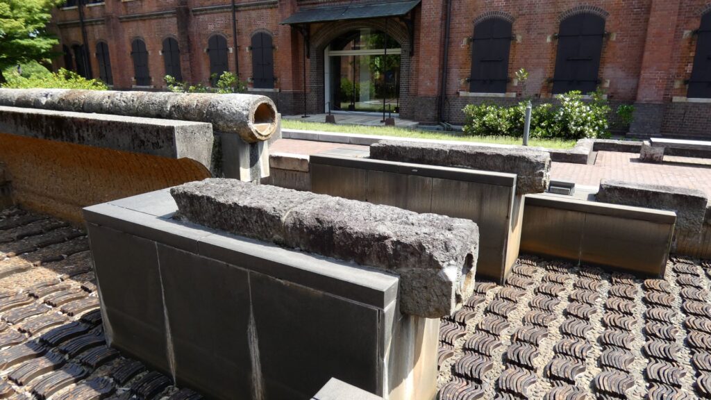
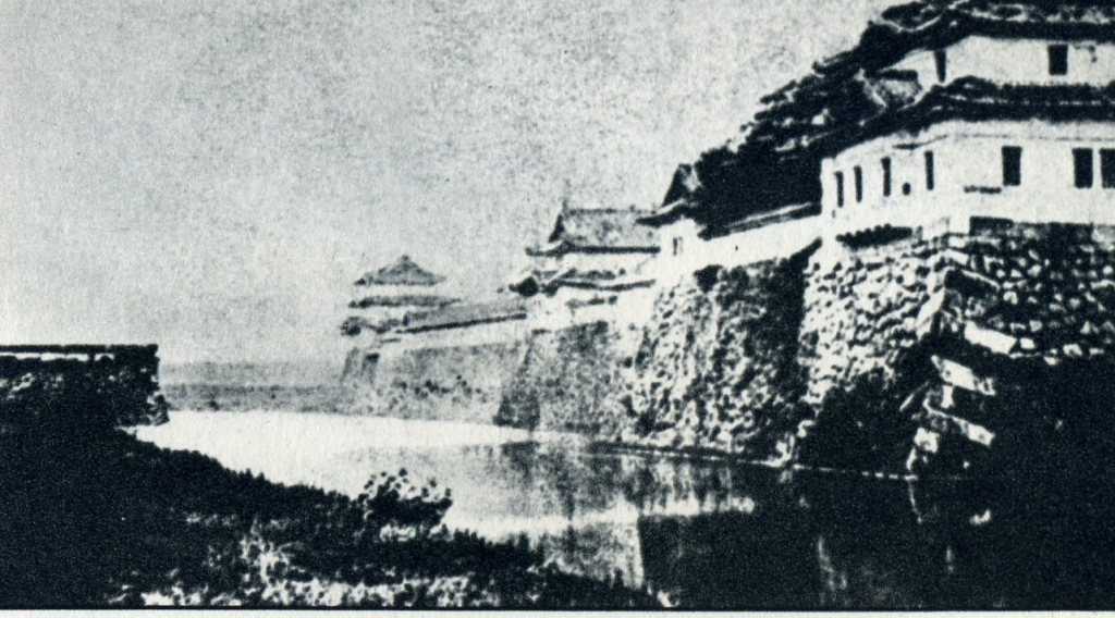
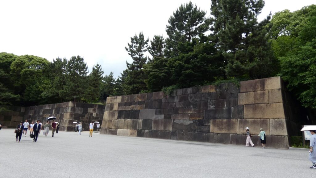
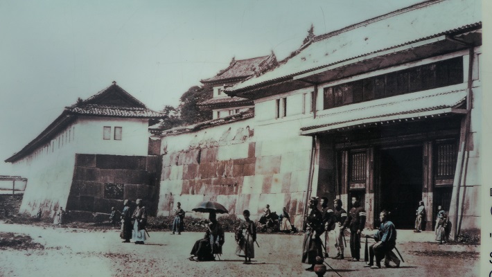
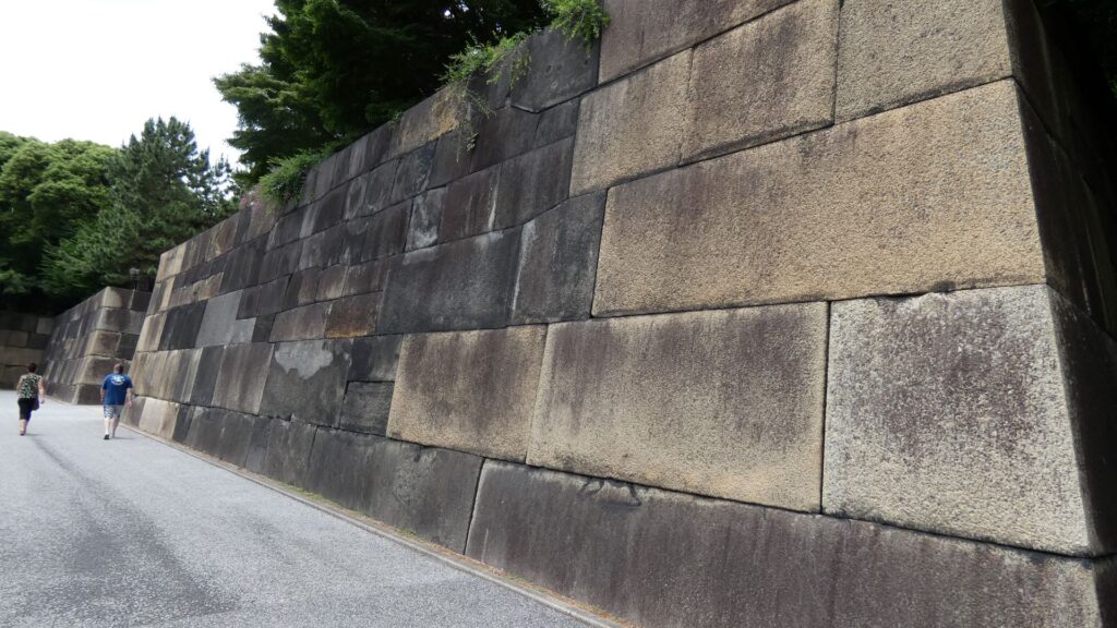
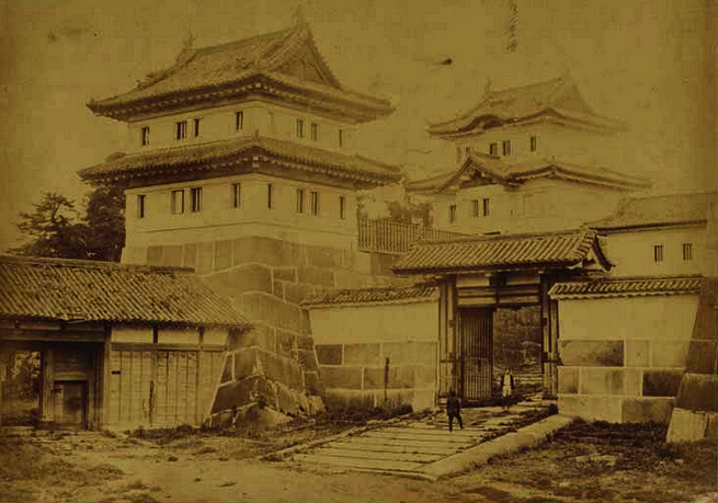
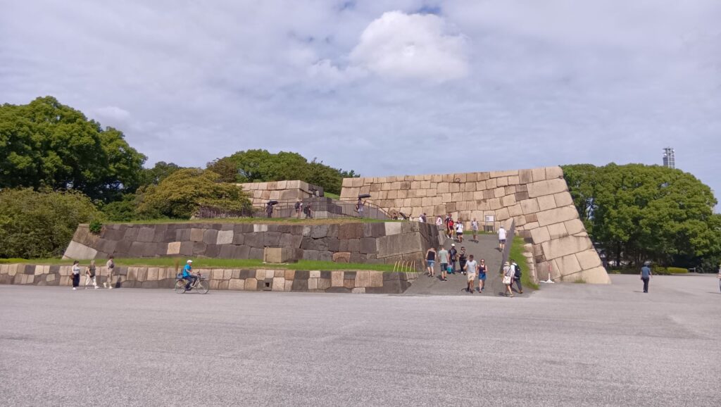
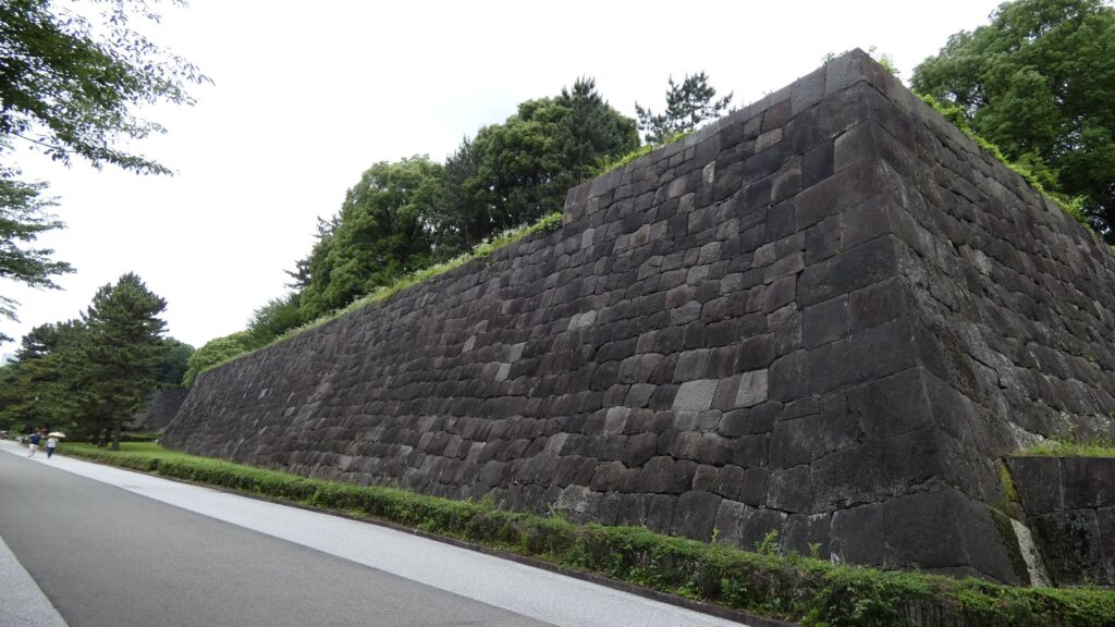
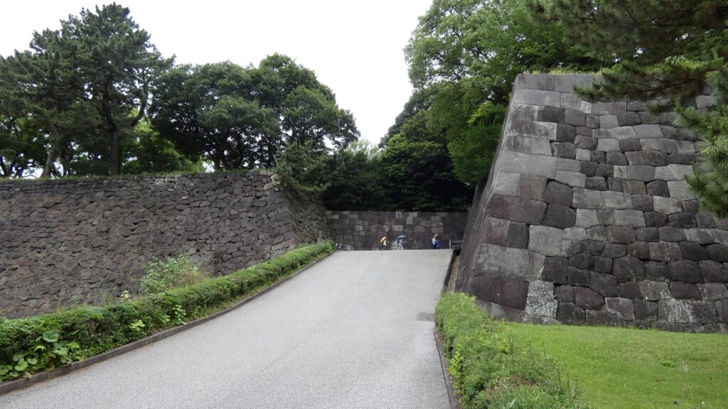
百人番所の反対側へ振り返ると、すごい石垣があります。中の門跡です。古写真で見たときも大きいと思いましたが、建物がなくても十分わかります。見せる石垣です。この石垣は、明暦の大火や、元禄時代の地震の後に修復されたものです。白っぽい石も多くて、それに精密に積まれています。石は、伊豆半島からだけではなく、西日本から花こう岩が集められました。色の違いは、石の種類が多いからでしょうし、精密さは時代の進化なのでしょう。それに、石積みは町人にも依頼されたそうです。そのころには幕府も安定し、町人も力をつけていたのです。この門は枡形ではありませんが、その頃には門の目的が、防衛より権威に移っていたのでしょう。
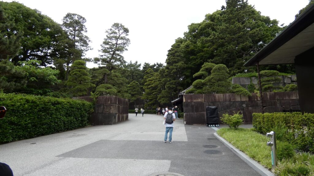
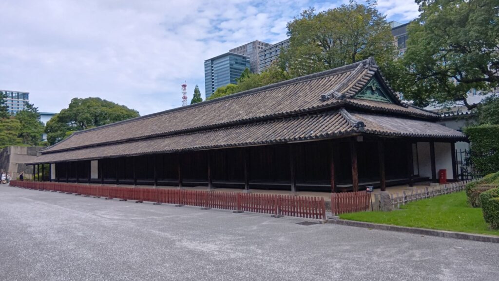
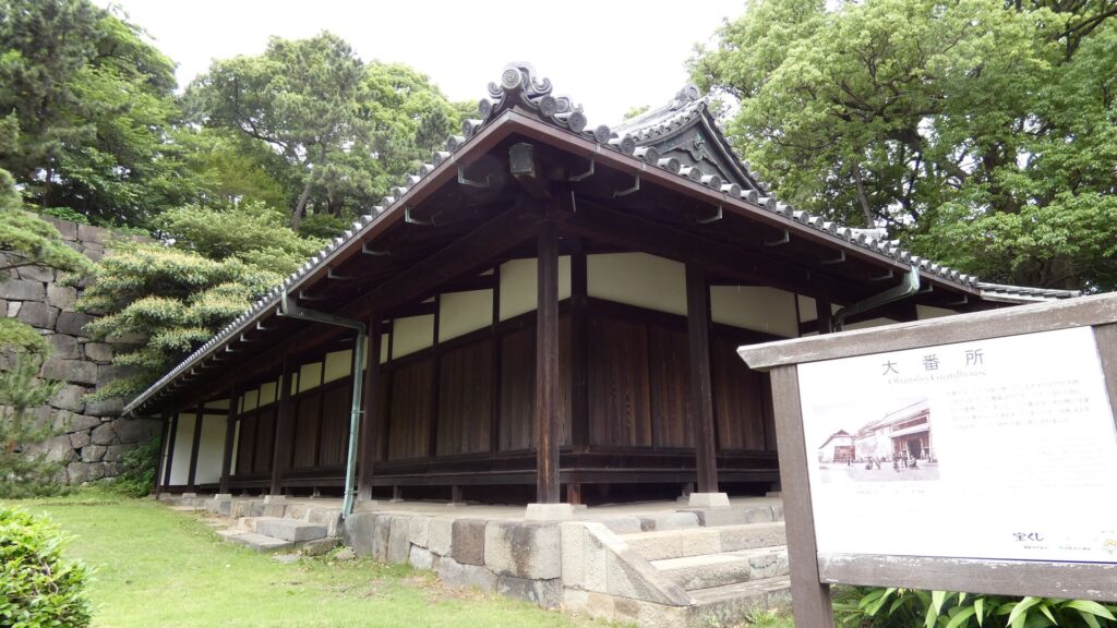
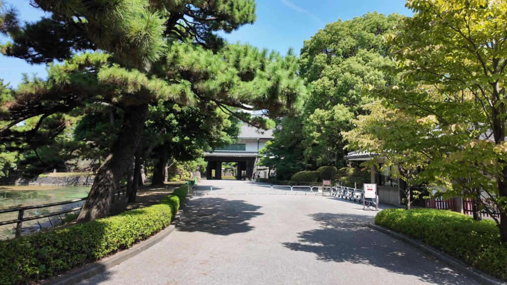
ここにも番所が残っています。大番所です。明治時代にも作業所として使われていました。それで壊されずに残ったのです。そして、本丸に到着します。登城は順調にいきました。
本丸ツアー(御殿跡)
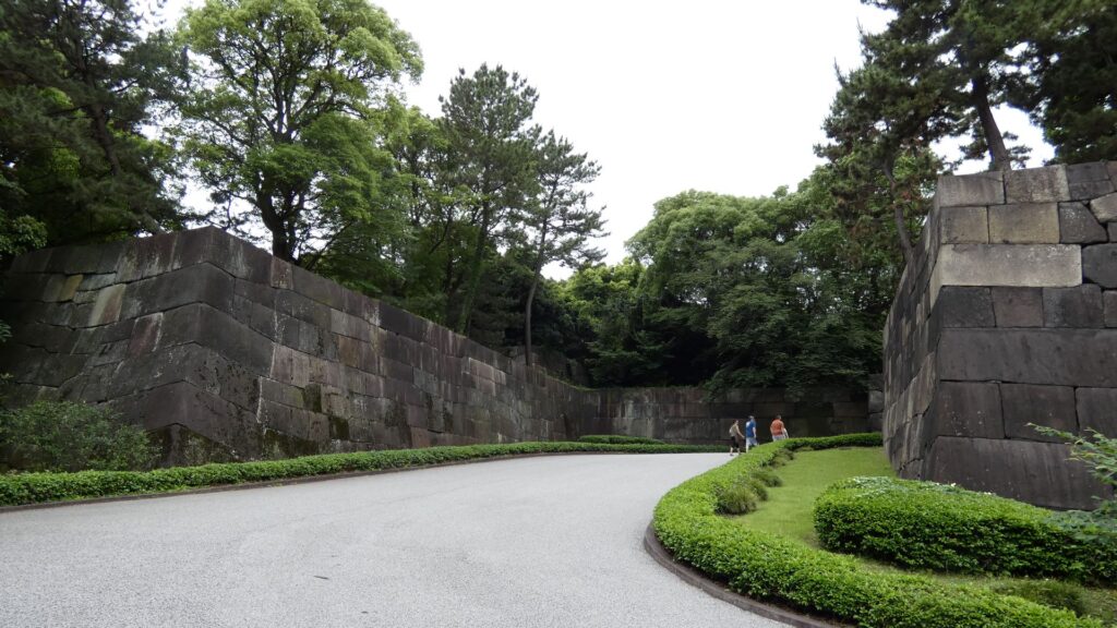
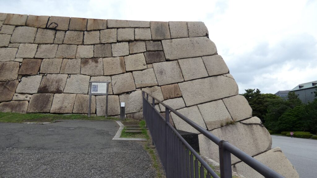
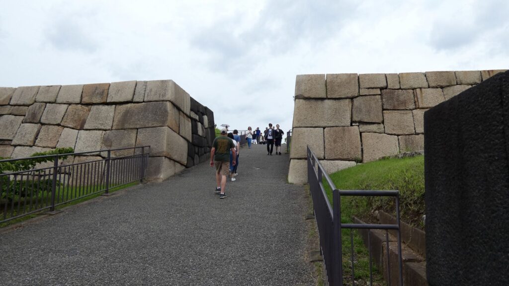
それでは、本丸の正門だった、中雀門跡に入っていきます。こちらも堂々としています。この門跡の注目点は、焦げている石垣です。最後の本丸御殿が火災に遭ったときの痕跡とのことです。ただ、明暦の大火で焼けた天守台の石を持ってきたのでは、という意見もあるそうです。これは歴史の生き証人なのです。
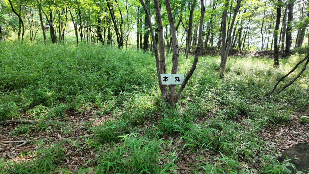
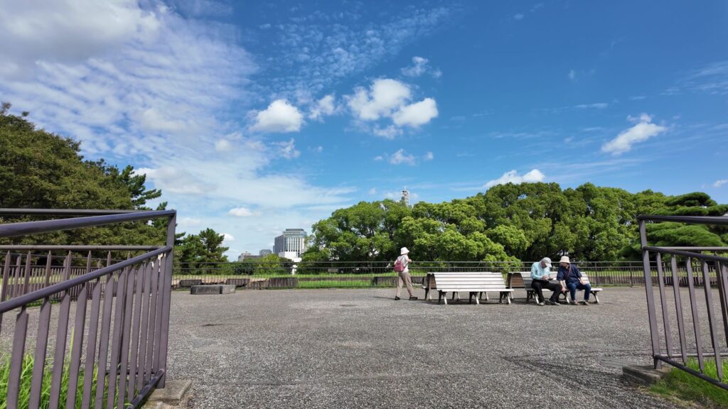
門の内側が本丸御殿の跡なのですが、今は広場になっています。想像力が必要な場面です。思うに、広場に出たところは、「虎の間」あたりだったのではないでしょうか。大名が将軍に謁見するのを待っていた部屋です。それなので、左の方に行けば、大広間があったところだと思うのです。
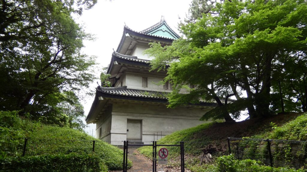
ここからちょっと寄り道をします。現存する富士見三重櫓です。ひっそりとしたところにあります。御苑の中では端っこですし、櫓としても裏側なのです。皇居の方から見ると、かなり見栄えがするらしいです。

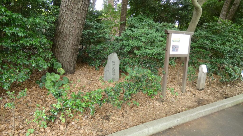
推定・大広間跡に戻って先に進みましょう。次はと言えば・・松の大廊下です。有名どころとあって、説明パネルがあります。次はどこでしょうか。その先にある分岐点は、白書院のあたりでしょうか。ここから左手の方にも、現存建物があります。そこに行く途中の土地が盛り上がっているのですが、家康時代の天守の名残りではないかという説があります。。
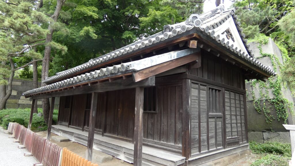
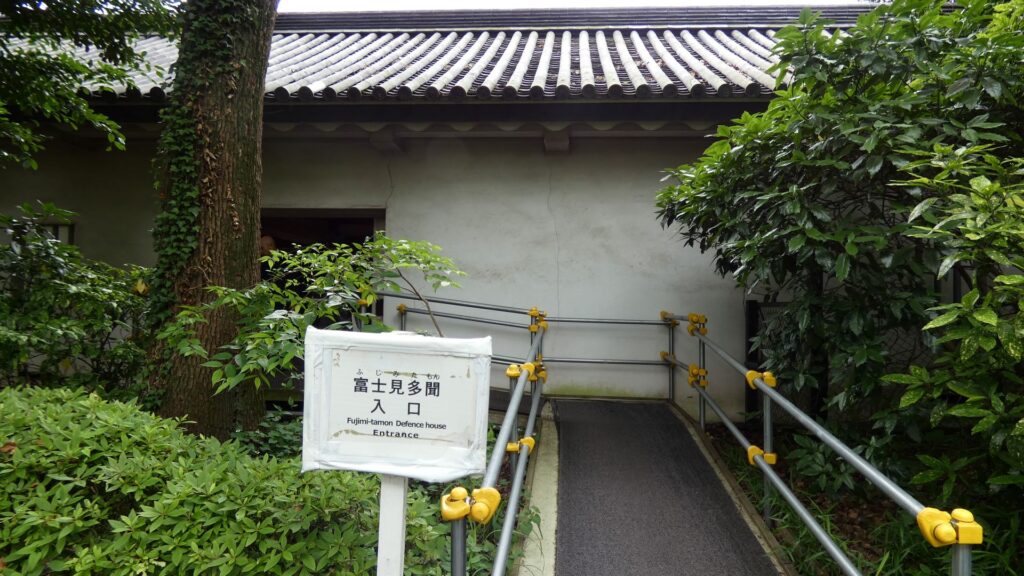
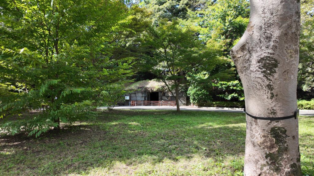
その現存建物は、富士見多聞です。本丸の西側を守る櫓の一つで、中に入ることもできます。別名は「御休息所前多聞」といいます。「御休息の間」というのが中奥にありましたので、富士見多聞より少し内側の場所は、黒書院や中奥の辺りのようです。
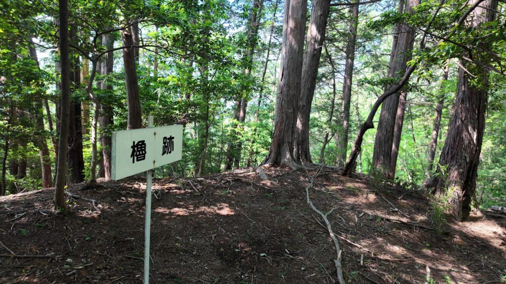
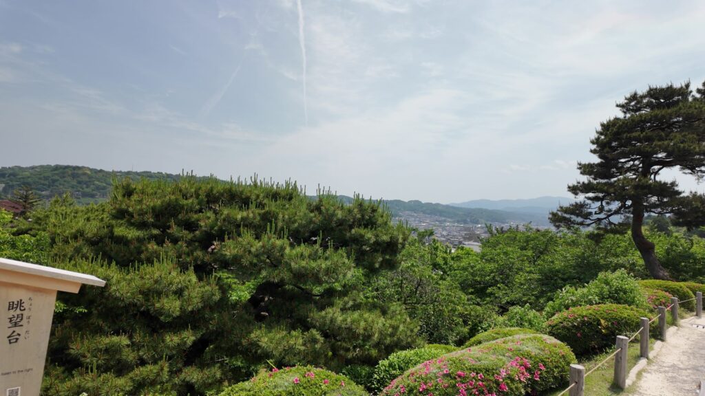
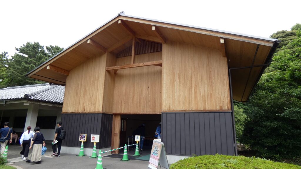
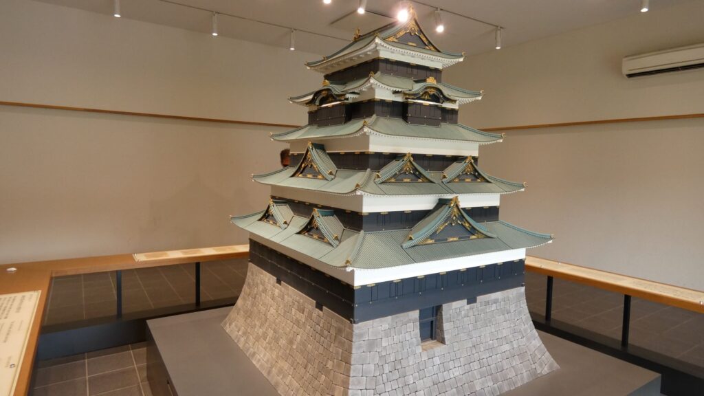
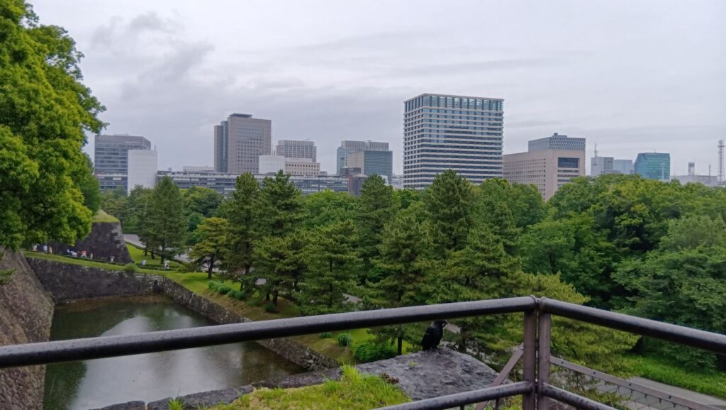
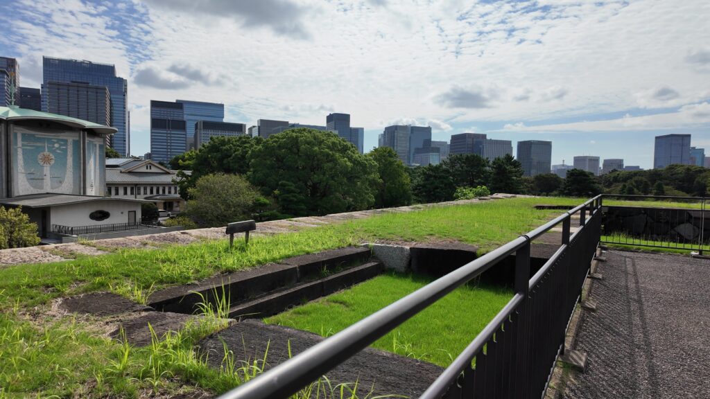
ちょっと遠い寄り道をしてみましょう。富士見多聞と反対側の方に行きます。本丸休憩所に新しめの建物があるのですが、そこに寛永天守の模型があるのです。それから、休憩所の裏手の石垣を登ったところに、台所前三重櫓があったのですが、そこが現在は展望台になっています。昔の景色とは全然違うのでしょうが、城から見るビル群の景色もおもしろいと感じます。
本丸ツアー(天守台)
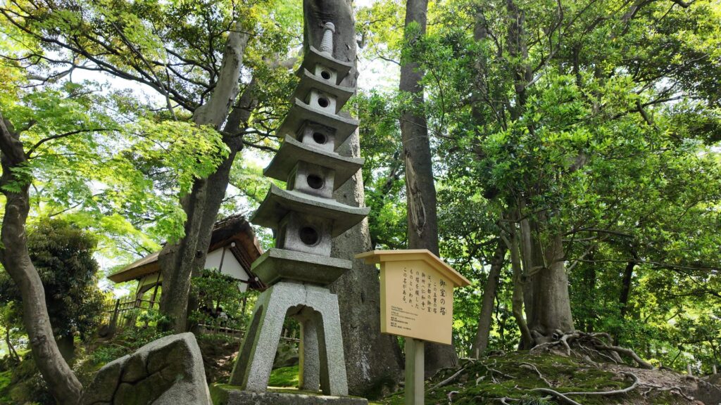
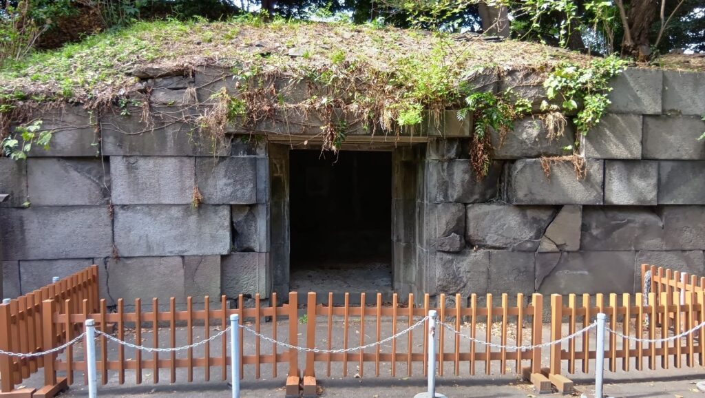
富士見多聞まで戻って、先に進みます。天守台に行く前に、もう一つ現存アイテムをご紹介します。「石室」です。御金蔵だったという説もありますが、非常時に大奥の調度品を避難させる場所だったようです。つまり大奥が近くにあったということです。石室から少し離れた辺りに、将軍が大奥に渡った御鈴廊下がありました。
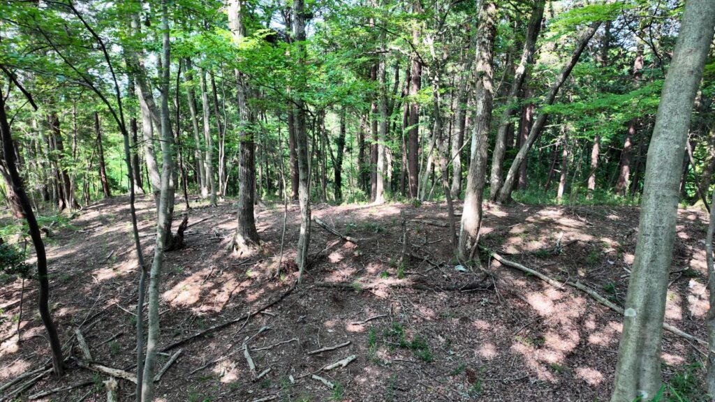
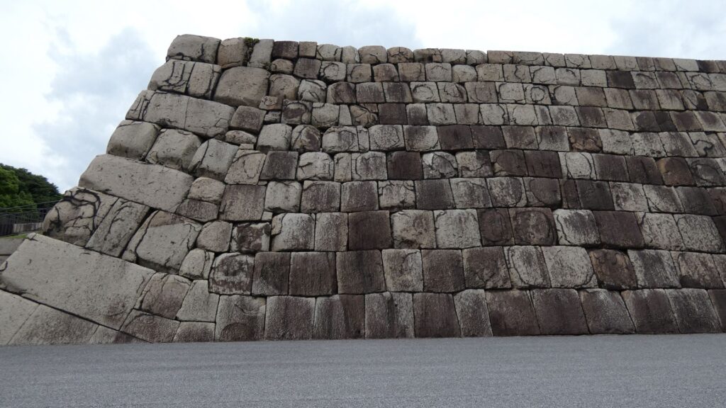
元大奥だったところを通って、天守台に向かいましょう。時期によって異なりますが、天守台への途中に大奥の「御主殿」や「対面所」があったようです。かつては建物がひしめいていたのです。いよいよ天守台です。これまたすごい石垣です。
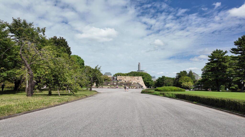
この天守台は、明暦の大火の後、前田綱紀が築いたものです。前田家といえば、本拠地の金沢城は石垣の博物館と言われています。現場では、わずか2ヶ月で石を積み終えたそうです。石は、瀬戸内海沿岸から御影石が調達されました。それで、全体が白い色になっています。大きさは、四方が40メートル以上もあります。高さは約12メートルですが、前の寛永天守より2メートルほど低いそうです。
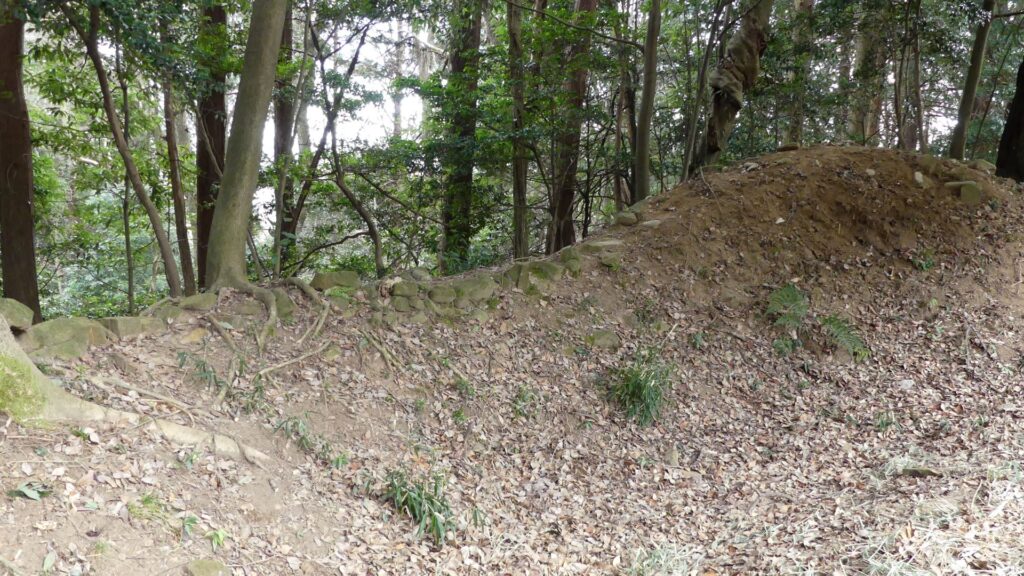
ご存じの通り、この天守台に天守は築かれませんでした。再度の再建計画もありましたが、実現しませんでした。現代も再建運動がありますが、どうなるのでしょうか。上は展望スペースになっています。石蔵になっていた所が埋められているようです。つまり、この石垣の内側が地下室になっていました。寛永天守のときには、武器や金銀を蓄えてありました。明暦の大火が起こると、金銀が溶けて、塊になっていたそうです。
天守台の外側を歩きましょう。改めてその大きさを感じます。天守台の脇には、大奥の長局、つまり奥女中の住居がありました。こんなところにまで建物があったのです。この石垣にも火災の痕があります。こちらは、安政時代の火災によるものだそうです。これからも大事にしたい遺産です。
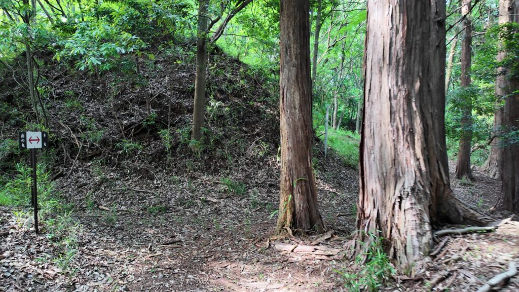
本丸下も見どころが沢山
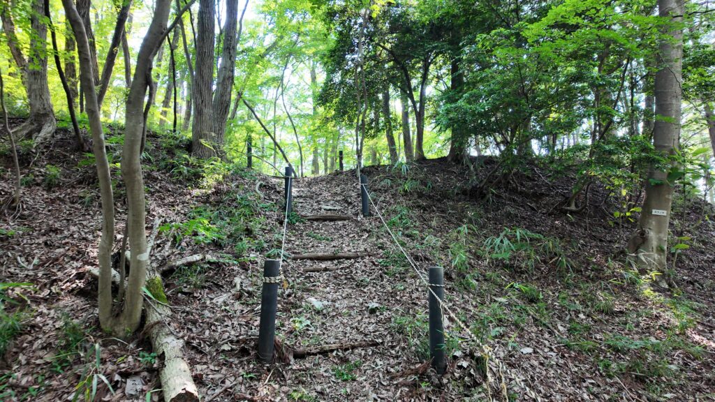
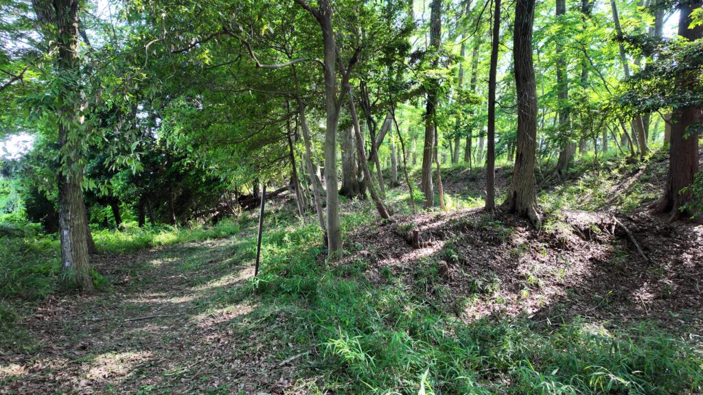
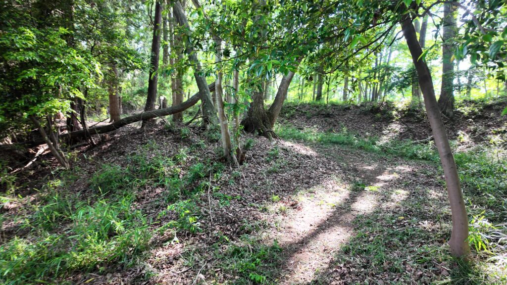
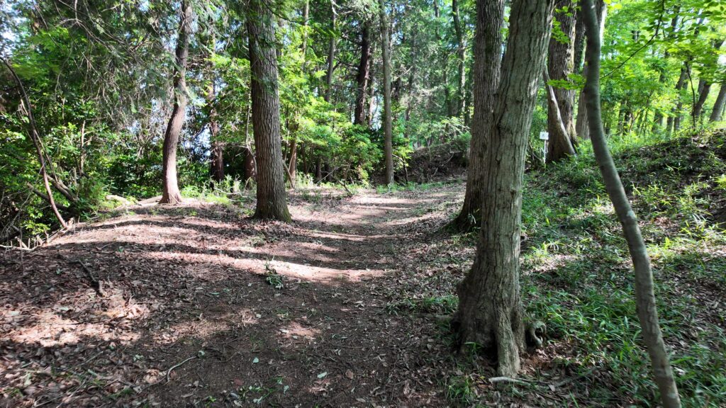
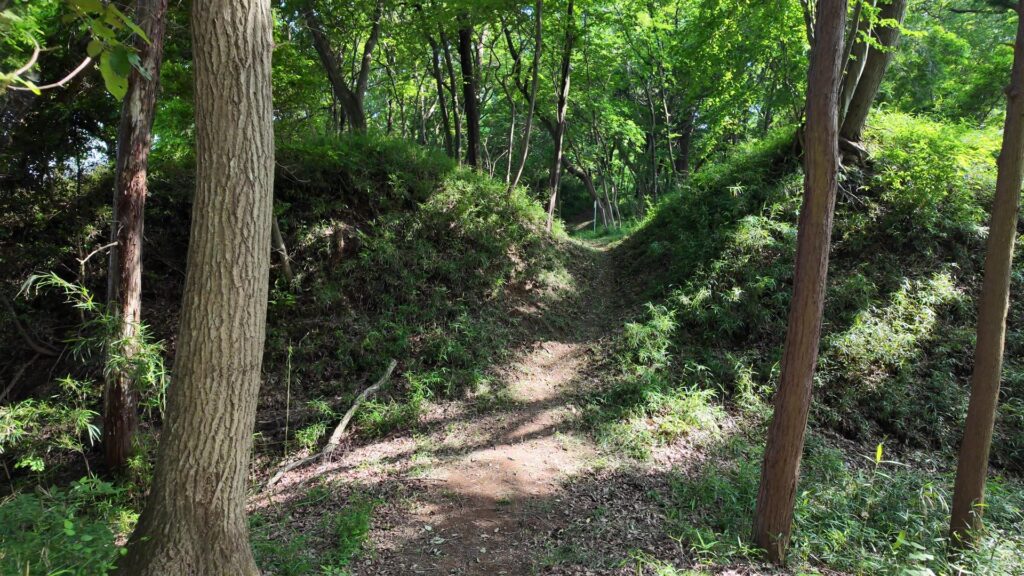
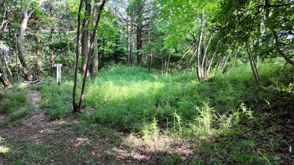
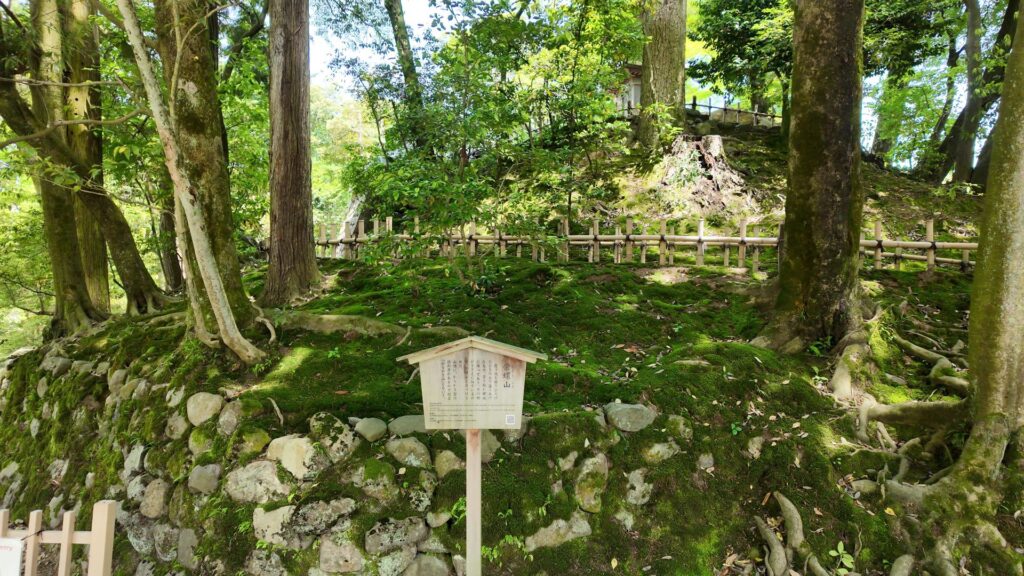
ここは本丸の出入口の一つで、太田道灌が梅を植えたことにちなむと言われる、梅林坂です。江戸城の中でも、特に歴史が古い所です。ここから下って、本丸の周りを歩きましょう。
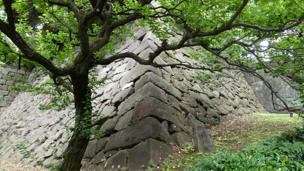
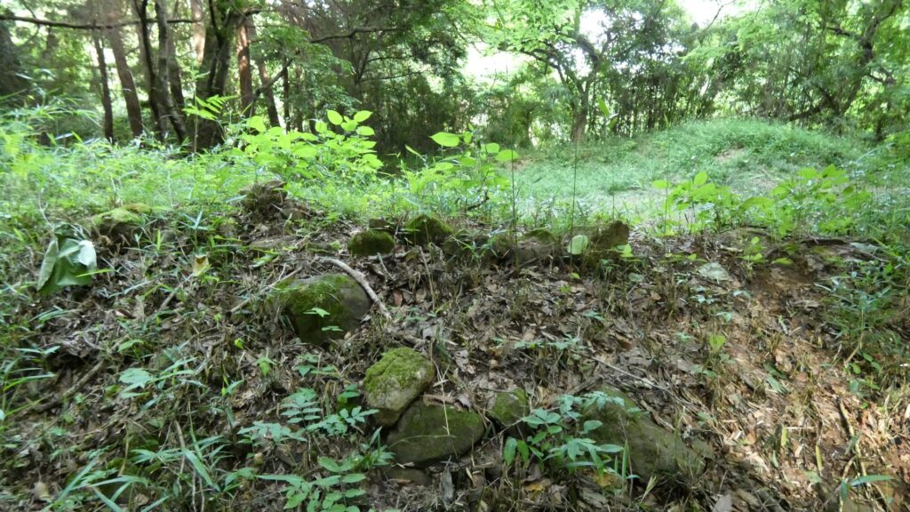
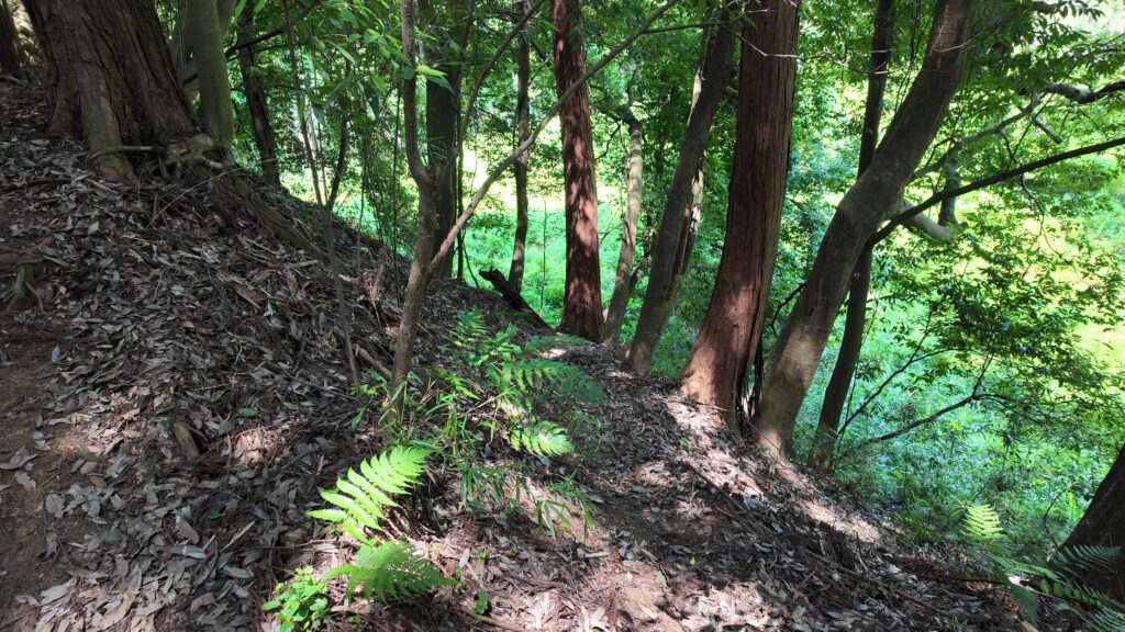
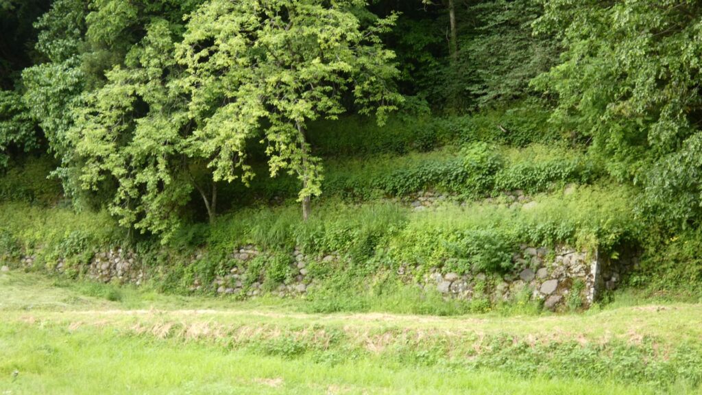
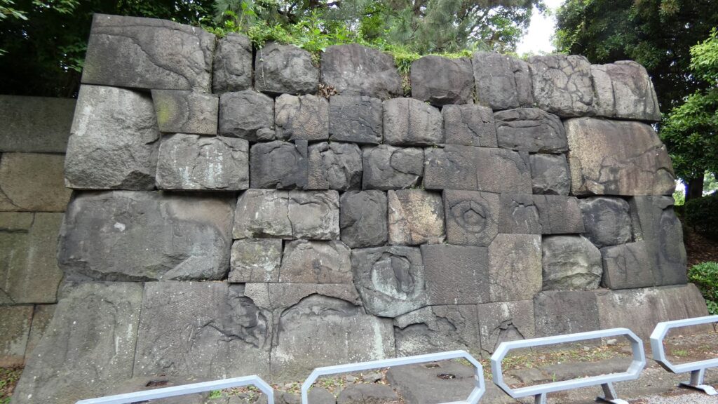
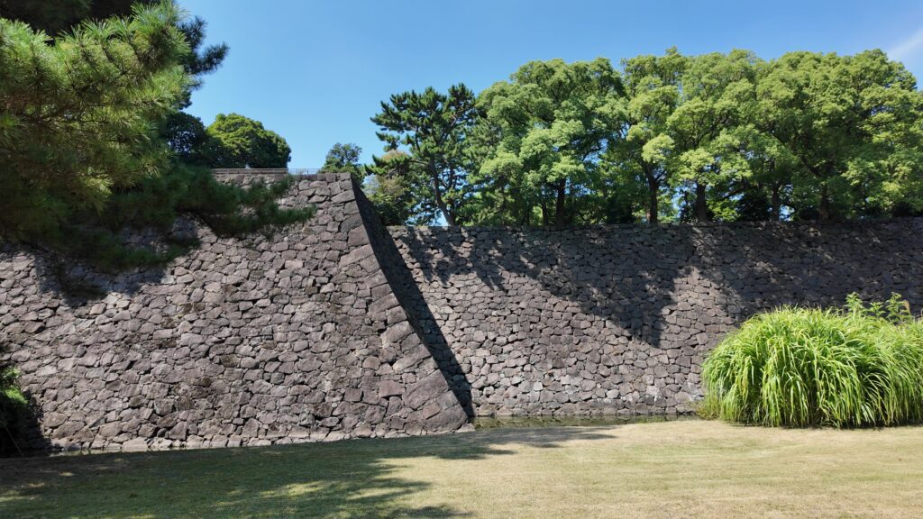
下った所にある梅林坂と汐見坂の間にある石垣は、随分精密に積まれています。この辺の石垣は、江戸時代以来、地震などで何度も修復されているので、「切り込みハギ」「すだれはつり」など新しい技法が使われています。
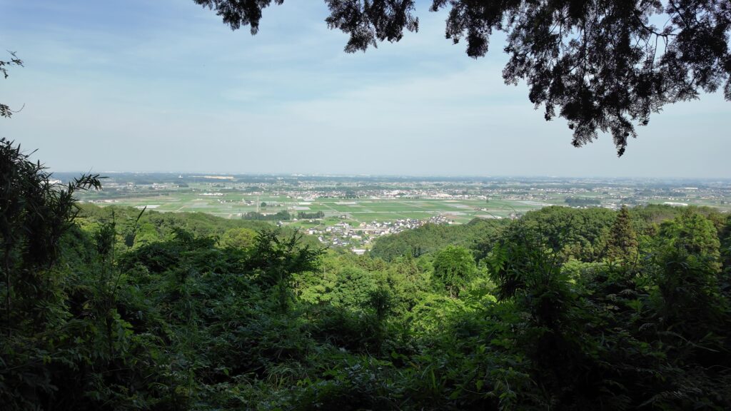
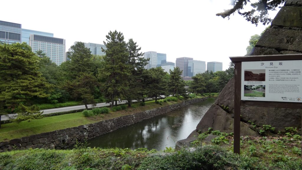
かつては海が見えたという「汐見坂」の下にきました。今はどんな景色なのか登ってみましょう。坂の右と左の石垣ってだいぶ違います。右の石垣は先ほど見た石垣です。左側の白鳥濠にある石垣は、家康時代に築かれ、技法も粗い加工の石を使った打ち込みハギなのですが、関東大震災のときも大丈夫だったそうです。古い石垣だから、弱いということではないようです。坂の上あたりまで来ました。やっぱりビルの景色です。でも、名前を残してもらえば、昔はこうだったとわかります。
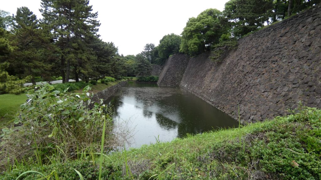
白鳥濠の石垣を下から眺めましょう。上のところは、先ほど行った展望台です。石垣のラインもきれいです。何だか熊本城の武者返しの石垣を思い出します。
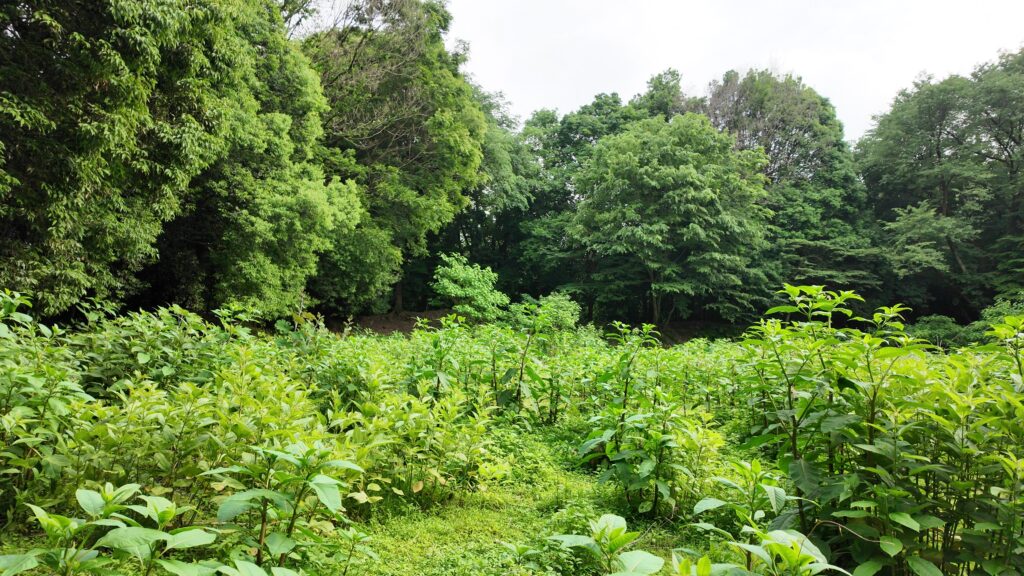
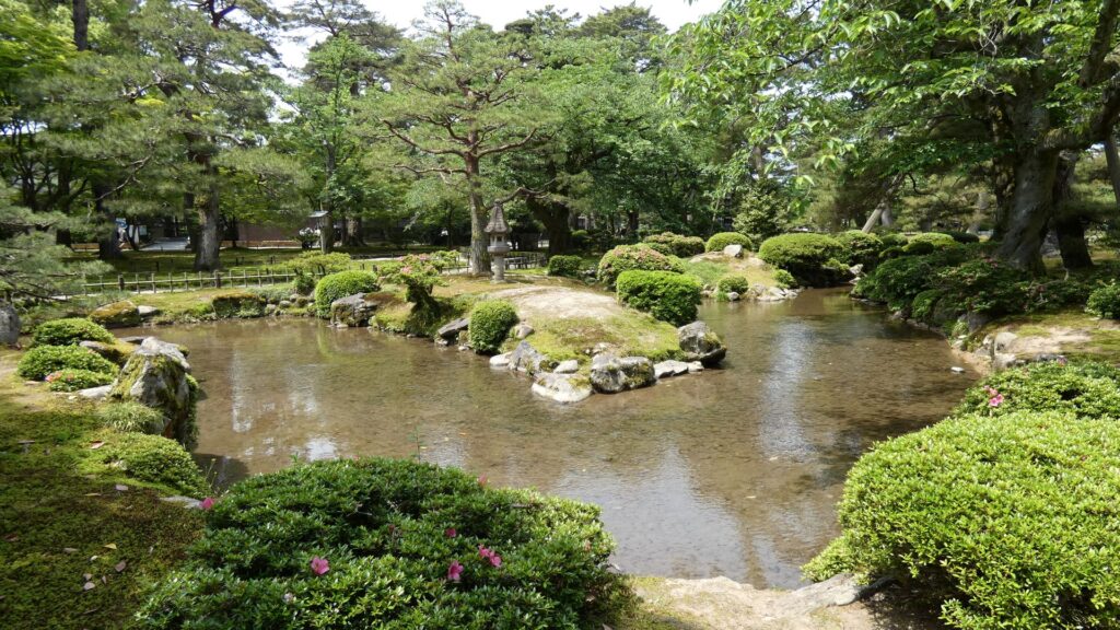
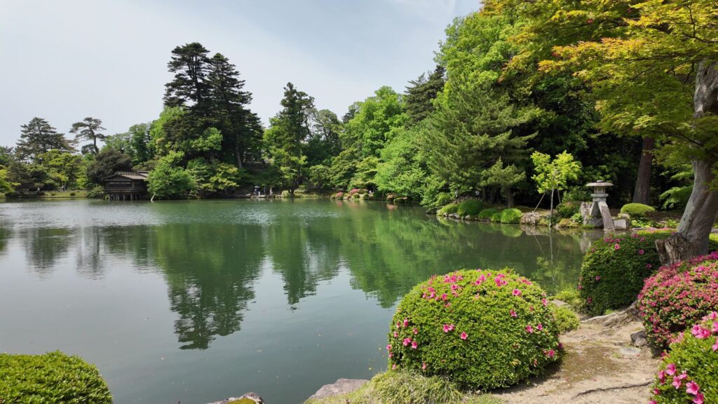
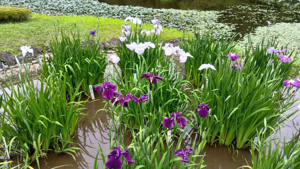
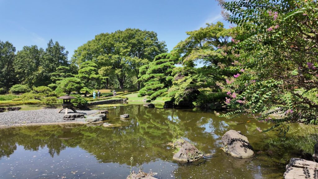
二の丸は、簡単なご紹介になってしまいますが、開発されてしまった武蔵野から移された雑木林、84品種もの花菖蒲がある菖蒲田、そして、9代将軍・徳川家重時代を復元したという庭園などが見どころです。
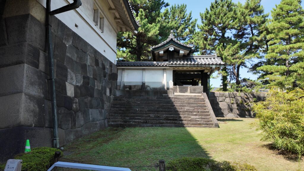
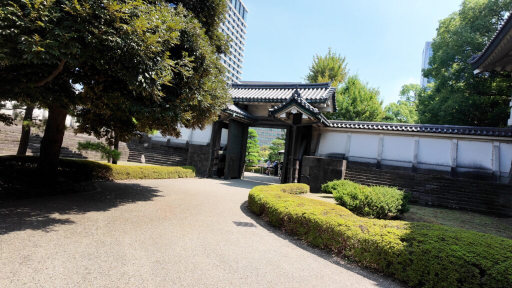
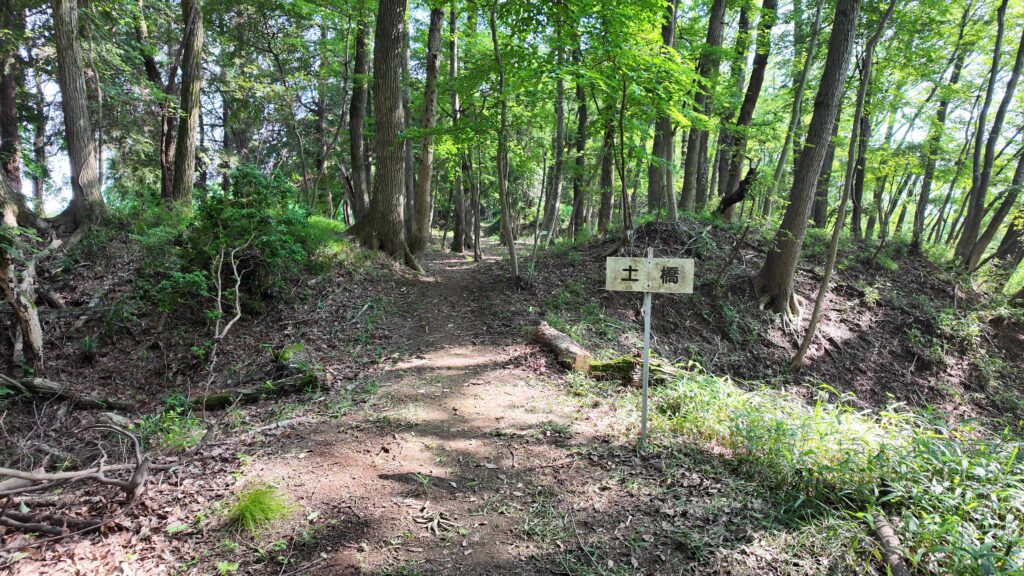
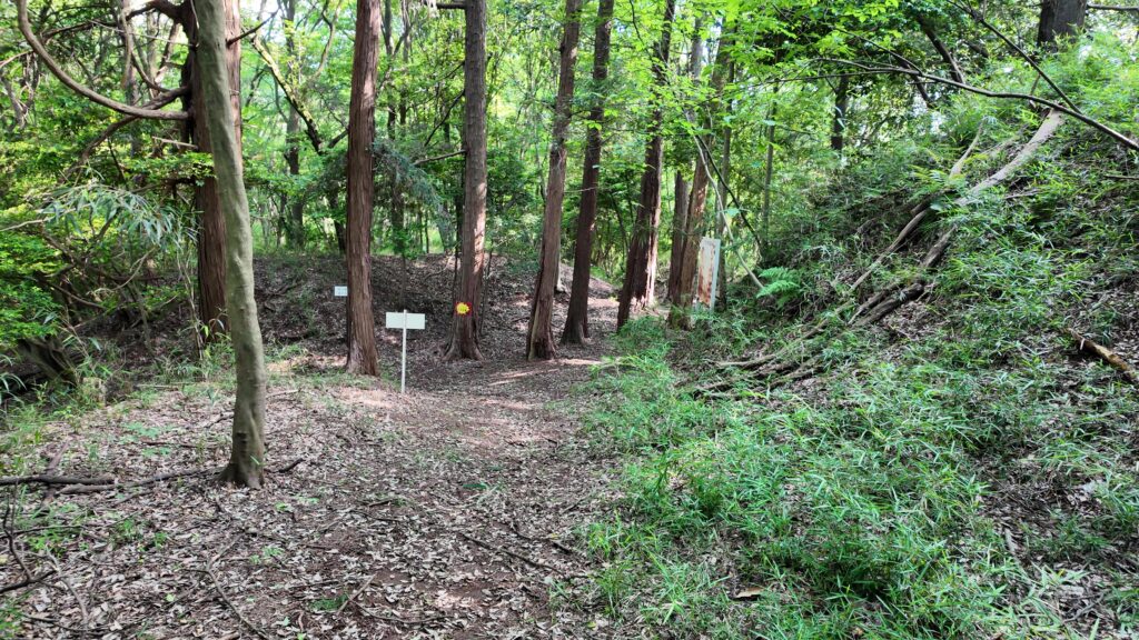
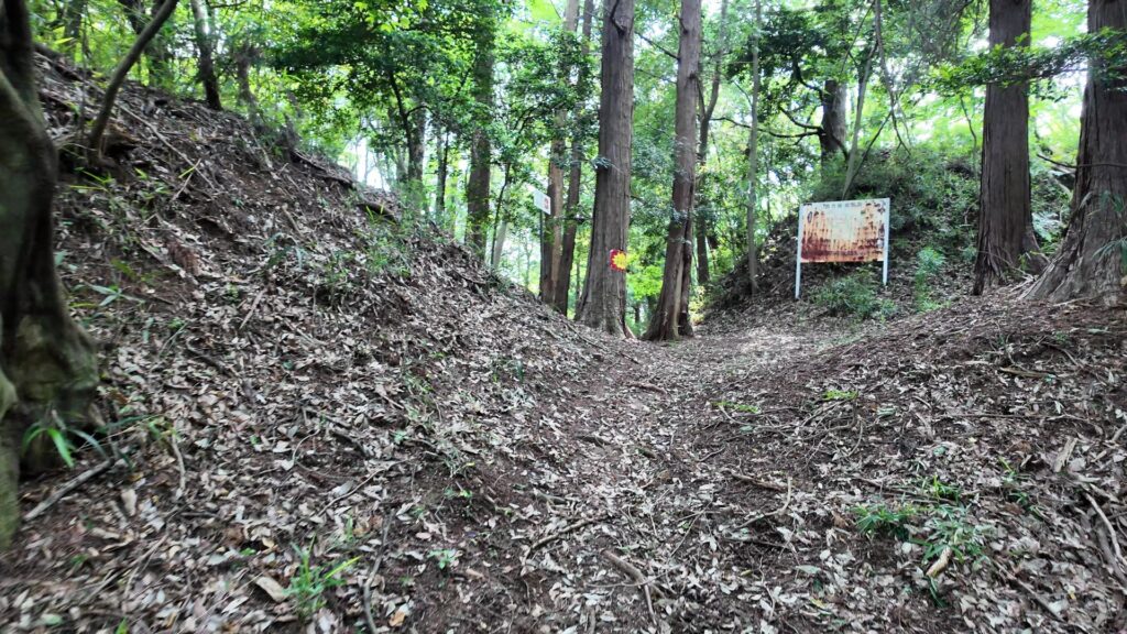
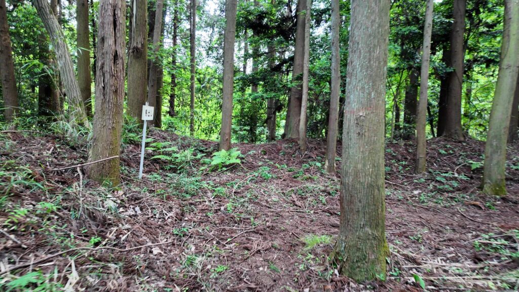
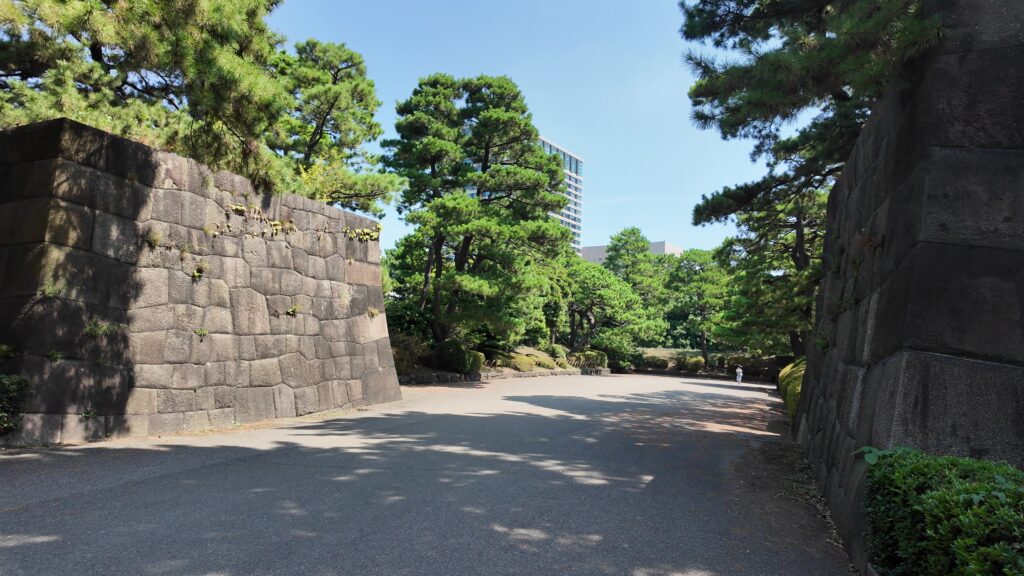
最後は、梅林坂の下に戻って、平川門に向かいます。下梅林坂門跡を通るのですが、堀に挟まれた細長い枡形になっています。枡形を出てからも更に回り込んで、やっと平川門に到着です。この門は残っています。
城の通用門の位置づけなのですが、北東にある鬼門ということで、城内で亡くなった人や罪人が出たときは、門の枡形の中にある小さな門(山里門、不浄門)から外に出されたそうです。浅野内匠頭も江島もここを通ったと言われます。私たちは、普通に門を出ていきましょう。