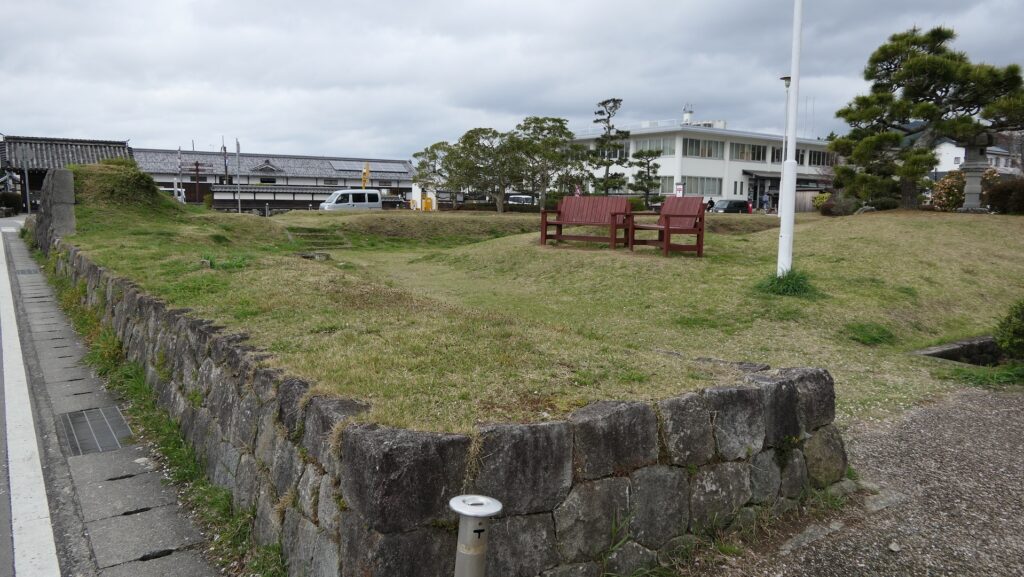
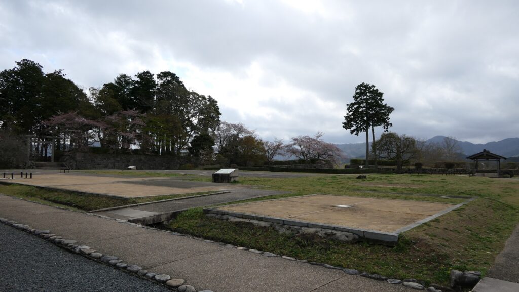
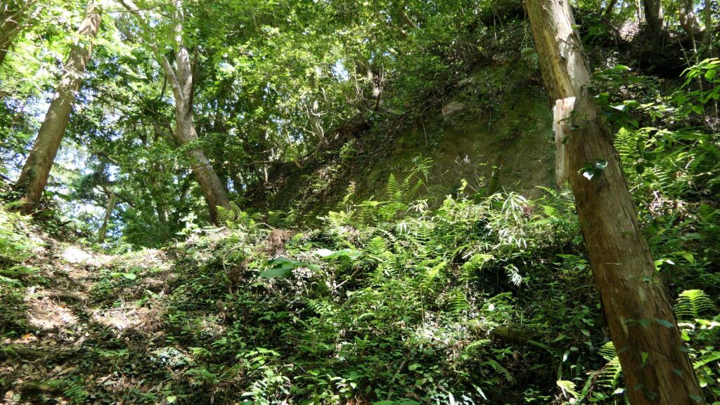
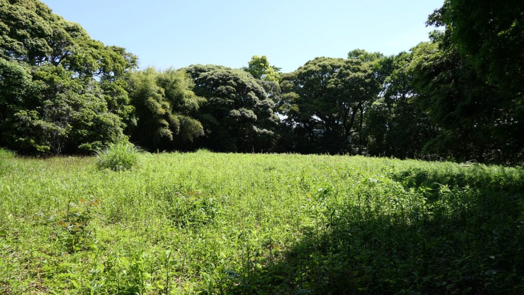
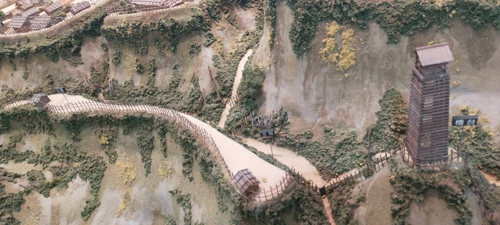
Over the dry moat, the other major enclosures of Nakanokuo (the enclosure No.4 & 5) and Onokuo (the enclosure No.6 & 15) follow and are all divided by other dry moats crosswise. In particular, you should check out Nakanokuo (the enclosure No.5), over Nakanokuo (the enclosure No.4). To reach the enclosure, you need to go out of the Main Enclosure, go through the right lengthwise dry moat from the front, and enter the second crosswise dry moat. The bottom of the moat is not flat, but has two tiers, so you also need to climb to the upper tier.
The map around Uchijo portion, the red broken line is the route from the Main Enclosure to Nakaokuo (the enclosure No.5)
The right lengthwise dry moatThis is the second crosswise dry moatThe second crosswise dry moat has two tiers
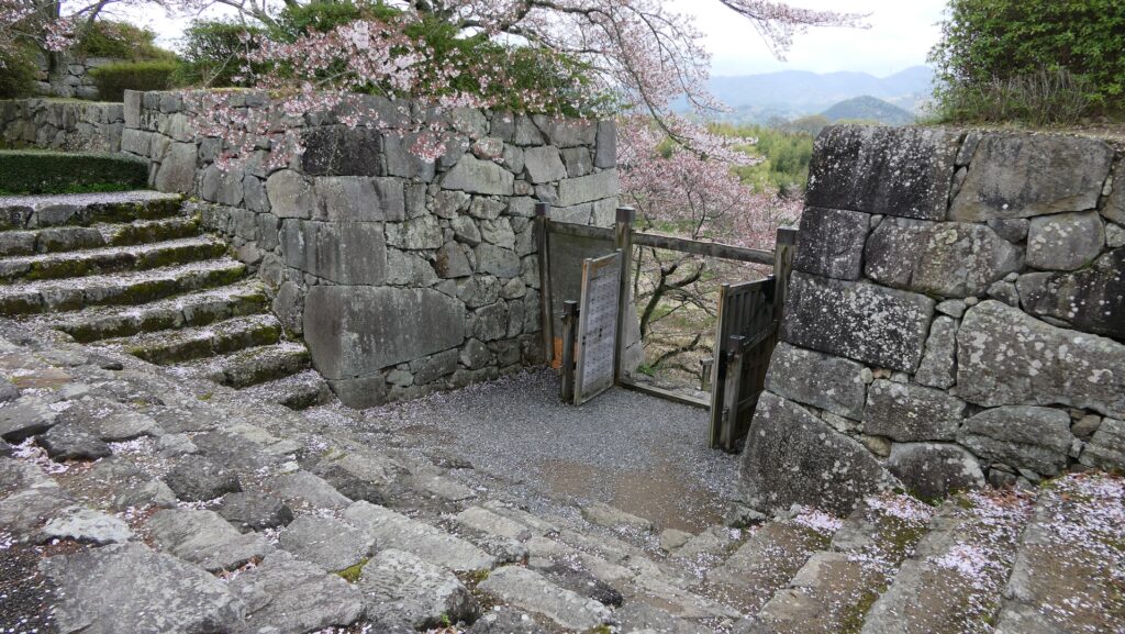
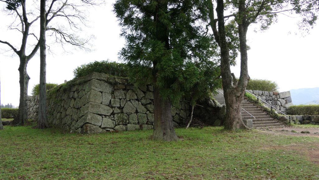
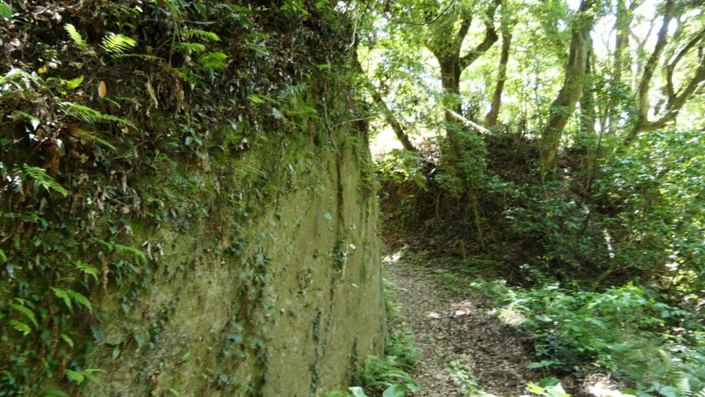
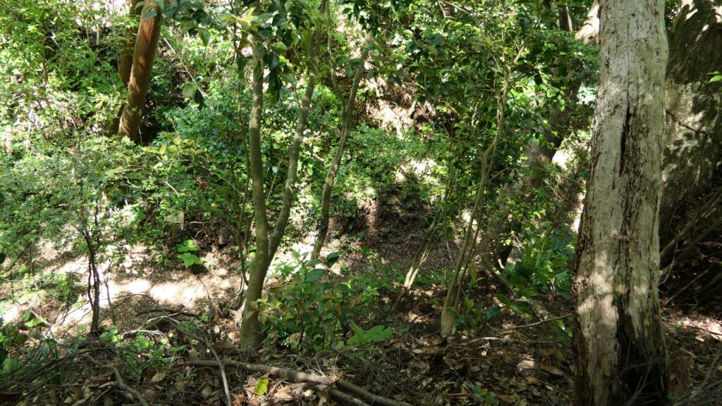
Then, you will face huge vertically cut cliff of the enclosure like a thick column and need to walk around to enter. If you were an enemy, you must have been attacked by the defenders from above until then. The entrance path is altered by thick earthen walls as well, just like a palace gate made of soil. This enclosure might have been pivotal to the defense in the castle.
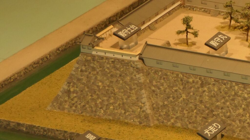
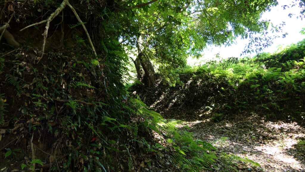
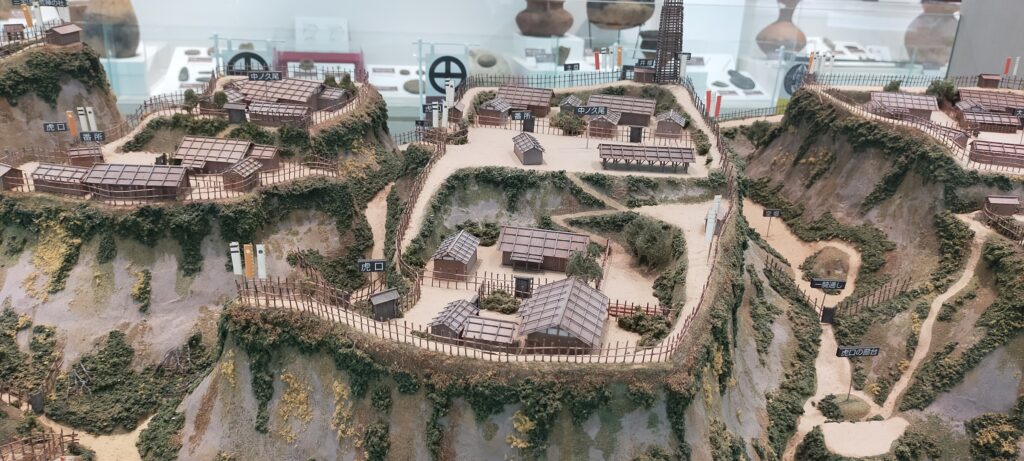
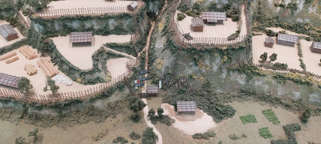
The vertical cliff of Nakanokuo (the enclosure No.5) ‘s sideThe entrance of the enclosureThe earthen walls surrounding the enclosureThe inside of the enclosureLooking down the bottom of the moat from the enclosureThe part of Nakaokuo (the enclosure No.5) of the miniature model exhibited in Shibushi City Center for Archaeological operations
Amazing Dry Moats
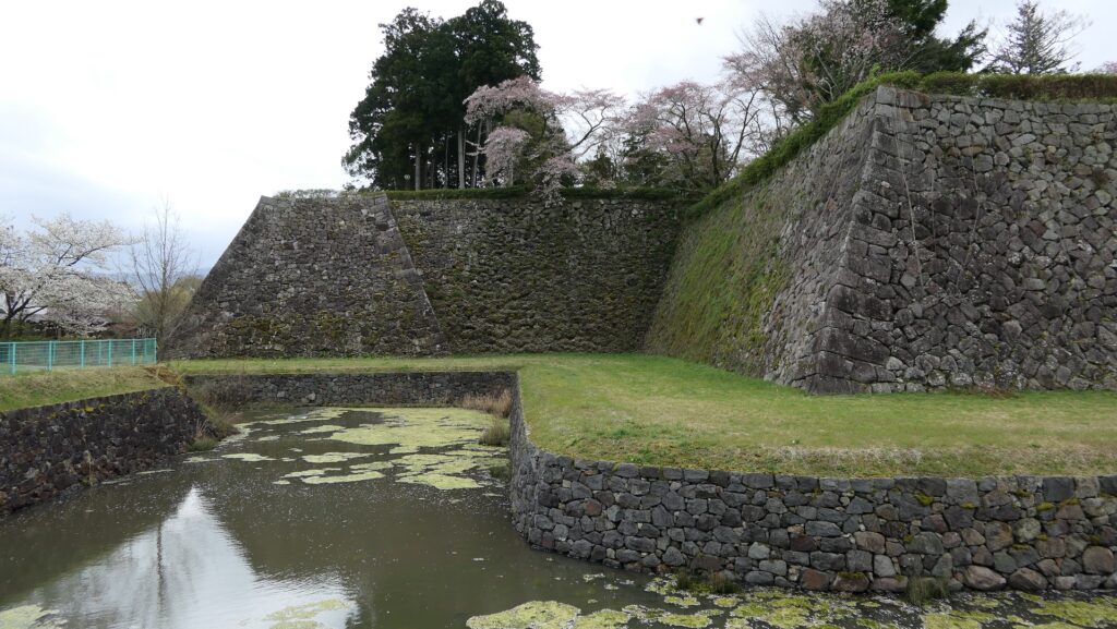
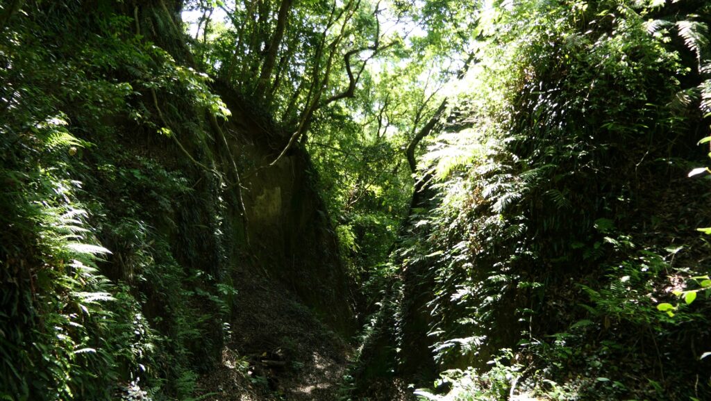
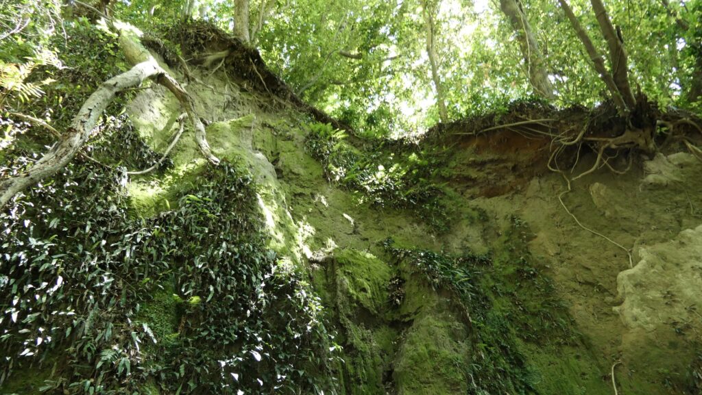
Both the lengthwise dry moats outside the plateau are amazing. The dry moat on the left side from the front (the western side) is called O-Horikiri or the Large Ditch. It is about 17m deep and was about 7m deeper than now according to the excavation. The collapsing volcanic ash has been filling the bottom of the moat naturally. However, it is still enough for us to understand how great the warrior’s work for the moat was.
The Large DitchThe part of the Large Ditch of the miniature model
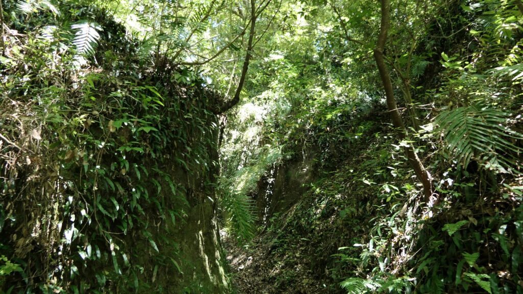
The dry moat on the right side is also surprising. The cut section of the outside enclosure is still vivid making us understand how hard their work was!
The cut section of the enclosure’s side
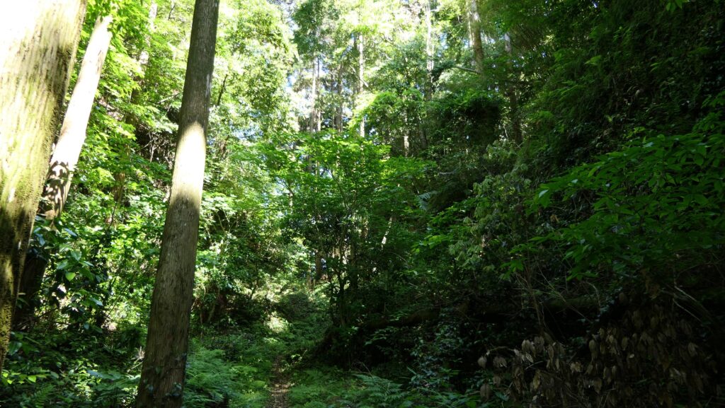
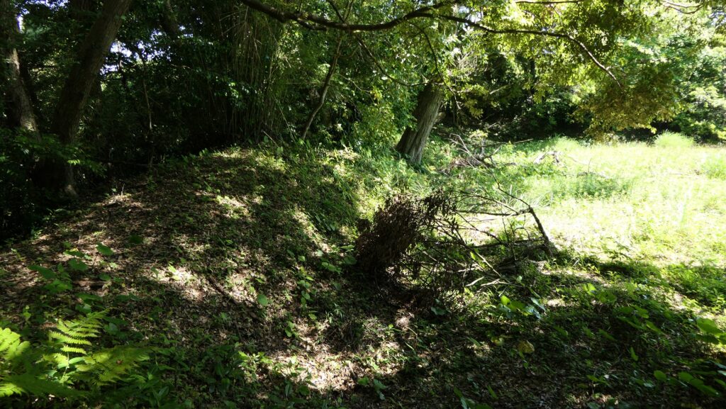
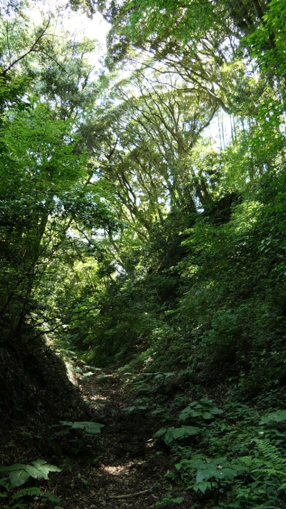
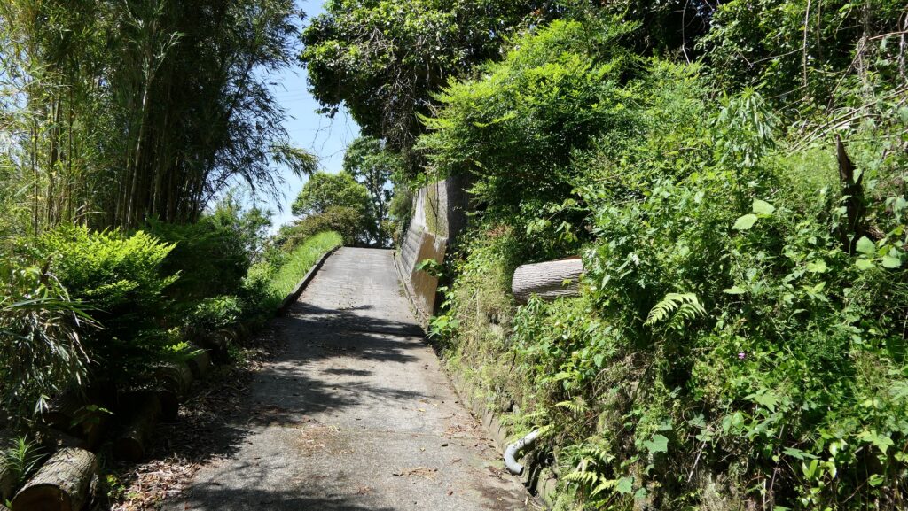
The Back Route of the castle goes beside the cut section and very narrow like the Main Route. It must have been made very defensive like the Main Route.
The narrow Back RouteThe entrance of the Back RouteThe part of the Back Route of the miniature model
Later History
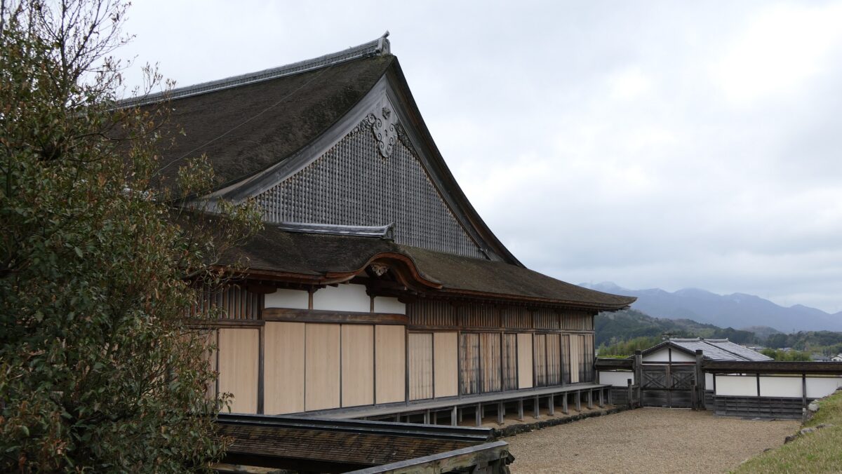
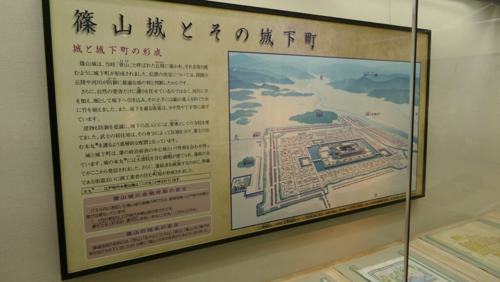
After Shibushi Castle was abandoned, the foot of the mountain was used as the warriors’ residences called Shibushi Fumoto. Fumoto refers to a residence area for a unique defense system of the Satsuma Domain led by the Shimazu Clan, called Tojo or the Outer Castles, during the Edo Period. Unlike other domains letting their retainers live together in their home base, the Satsuma Domain sent many of its retainers to their local sites to protect the frontiers of its territory. Shibushi Fumoto was one of the most important among over 100 Fumoto of the domain. You can also walk around the Fumoto area at the same time as visiting Shibushi Castle Ruins. As for the castle ruins, they have been excavated and researched since 2003. As a result, they were designated as a National Historic Site in 2005.
The area around still has an atmosphere of Shibushi Fumoto
My Impression
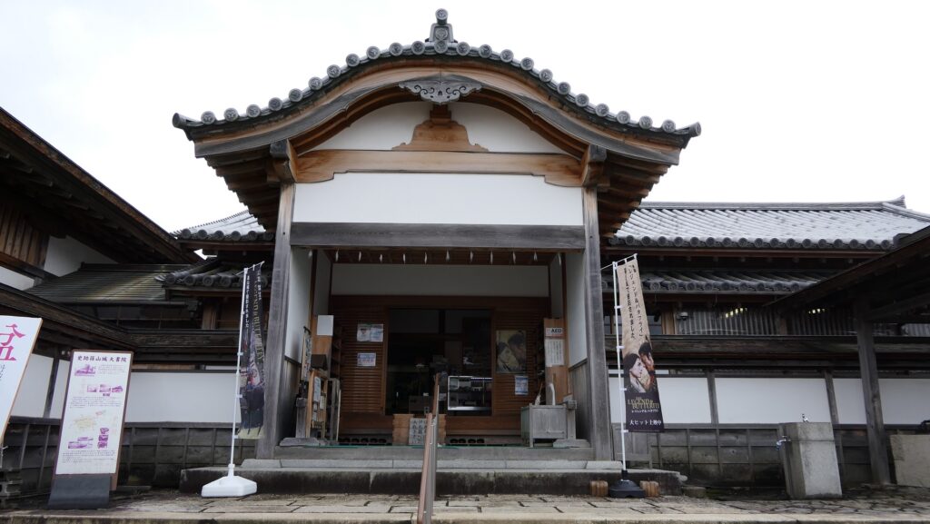
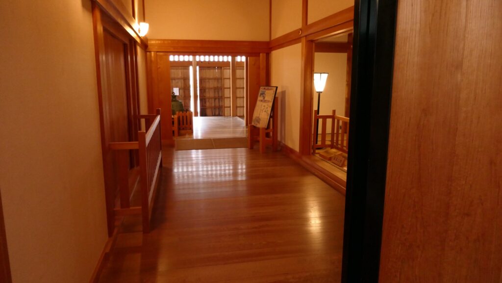
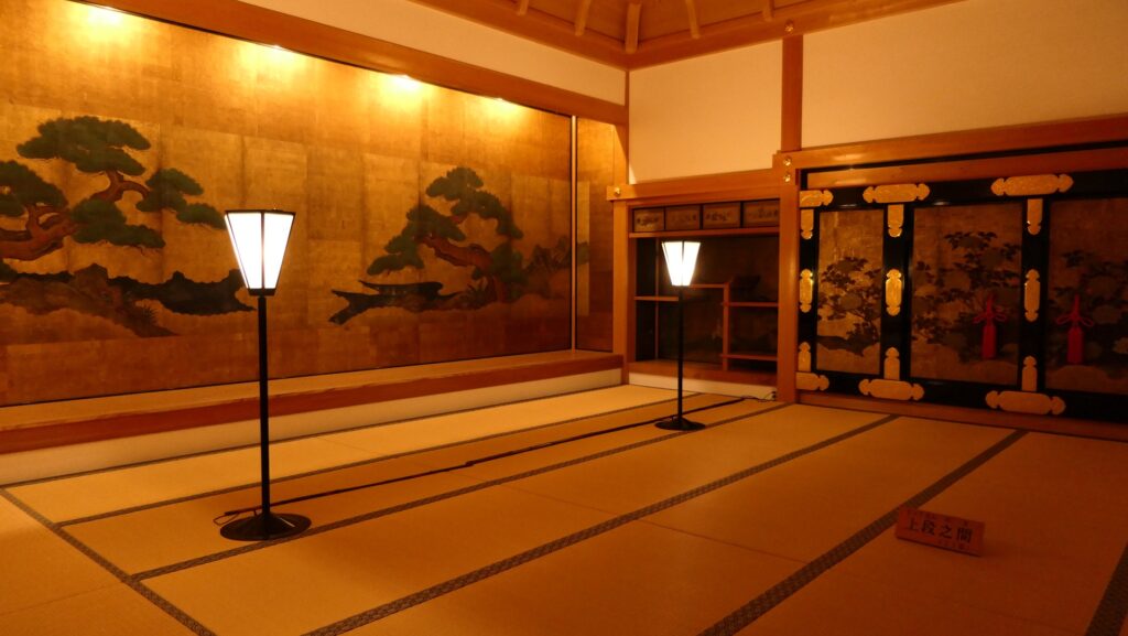
I have never seen such a large and precise miniature model of a mountain castle like the one of Shibushi Castle (Uchijo portion) in Shibushi City Center for Archaeological operations before. I have certainly seen large and precise miniature models of more modern castles like Himeji Castle because they often had or still have many buildings such as the Main Tower, turrets and gates, and great structures such as stone walls. They would be easy to be copied for a model and the model can be popular with people. On the other hand, making models of a mountain castle should be difficult and may be less popular, so it could be rare, especially realistic ones. However, the miniature model of Shubushi Castle is one of the rarely seen models, worth to see by itself, and helps visitors understand what the real castle was very well.
The miniature model of Uchijo, exhibited by Shibushi City Center for Archaeological operations
How to get There
If you want to visit the castle ruins by car, it is about a 15 minute drive away from Shibushi IC on the Miyakonojo-Shibushi Road. There is a parking lot for visitors near the ruins. In addition, Shibushi City Center for Archaeological operations is about 3km away from the ruins and it also has a parking lot. If you want to use public transportation, it takes about 20 minutes on foot to get there form JR Shibushi Station. For visitors from Tokyo or Osaka: It may be a good idea to rent a car at Kagoshima or Miyazaki Airports after using a plane.