Features
Ruins can be accessible either from Seaside or Mountain side
Today, the ruins of Kaminokuni-Katsuyama Date have been well developed by Kaminokuni Town. The ruins spread from 70 to 110m high on the hill. You can access the ruins either on the Main Route near the seaside or on the Back Route near Iouzan Mountain which is 159m high.
The aerial photo around the castle
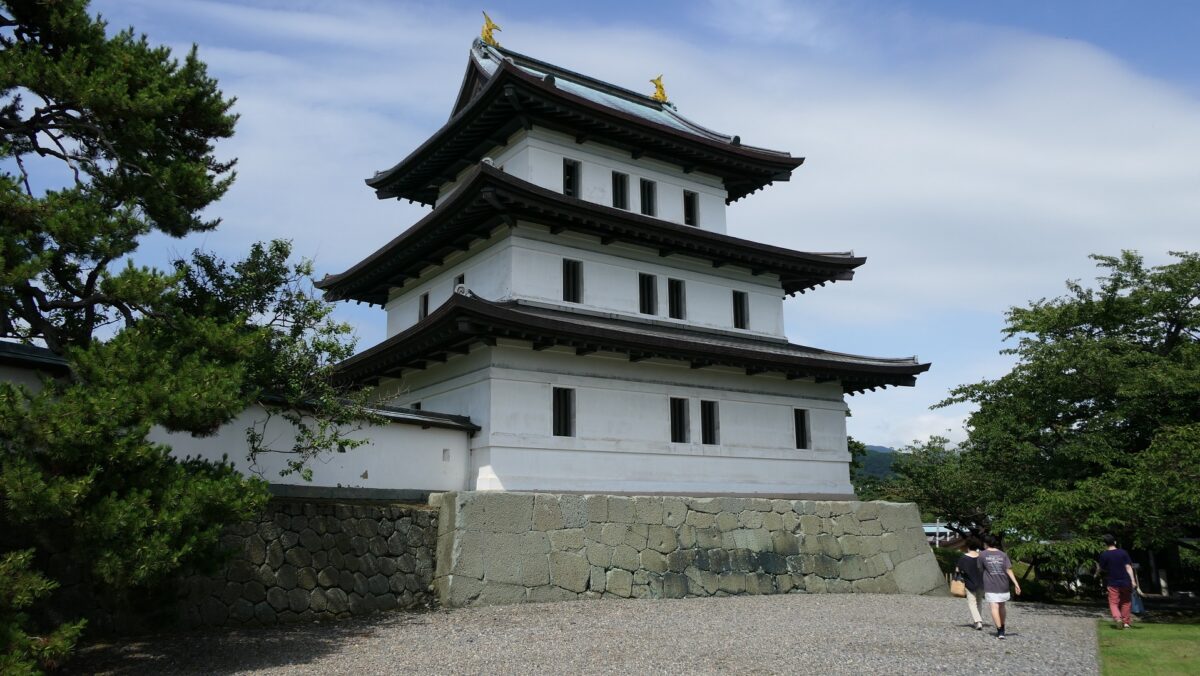
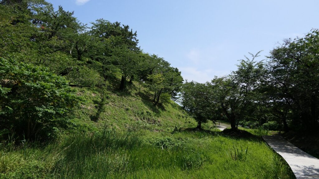
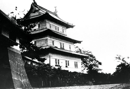
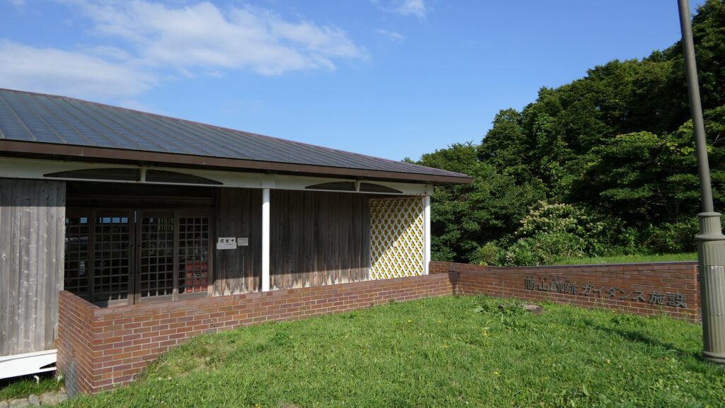
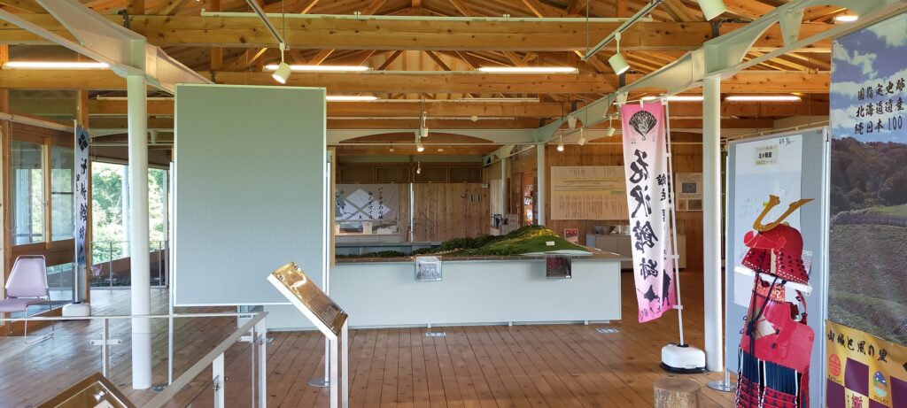
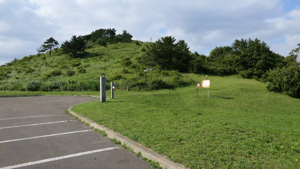
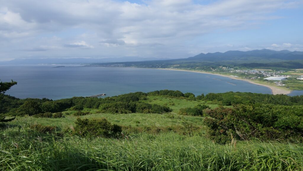
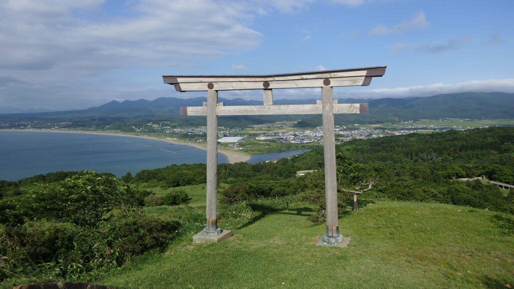
If you drive to the ruins, it may be better to park and visit the Katsuyama Castle Guidance Facility below the top of the mountain before going to the ruins. You can learn about the history and the findings of the hall. The mountain top has a good view of the sea and has the Iouzan Shrine as well which worships Nobuhiro Takeda, the founder of the hall. The top was thought to be used as the final part in case of an emergency.
Going to Back Route and Back Gate from Mountain
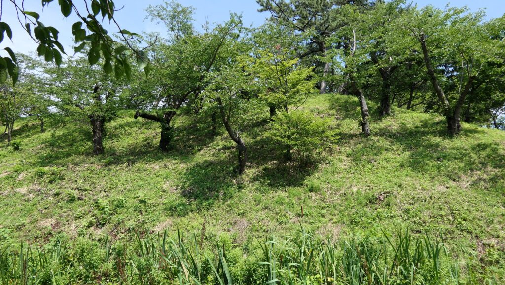
From the facility, you can walk to the Back Gate of the hall ruins passing the Iouzan Tombs which have over 600 burial mounds. Many of them are for Buddhists which are related to the mainland Japanese, but some of them are for the Ainu people. This is one of the reasons that both people lived together in the hall. Nobuhiro Takeda is thought to be buried somewhere around there.


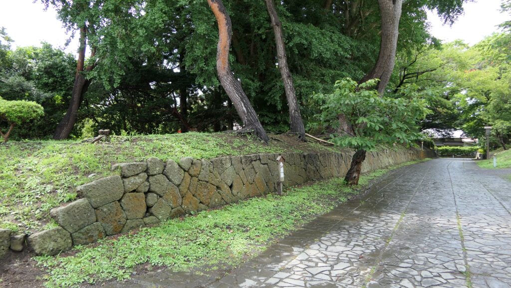
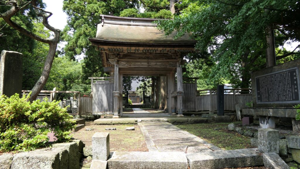
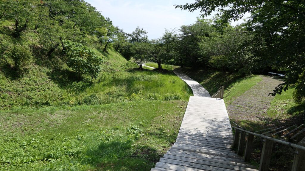
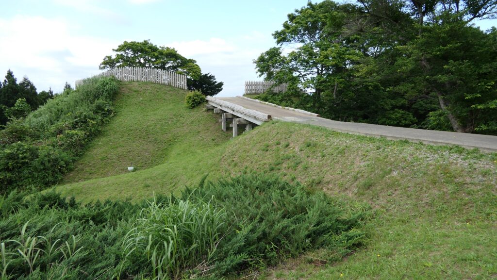
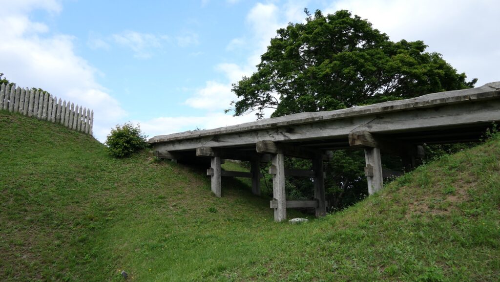
The trail will bring you to the Back Gate Ruins with a dry moat in front of them. You can go across the moat over the restored bridge and you will see some restored wooden fences around the ruins. Inside the gate is the highest point of the ruins, which had the Tategami-Hachimangu Shrine as the guardian god of the hall. The shine remained even after the hall was abandoned. The lords of the Matsumae Domain visited it to worship for their ancestors during the Edo Period. The shrine was finally moved to another location in 1876 of the Meiji Era.

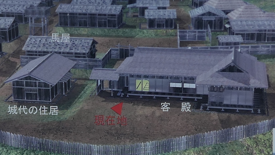
Center of Hall Ruins
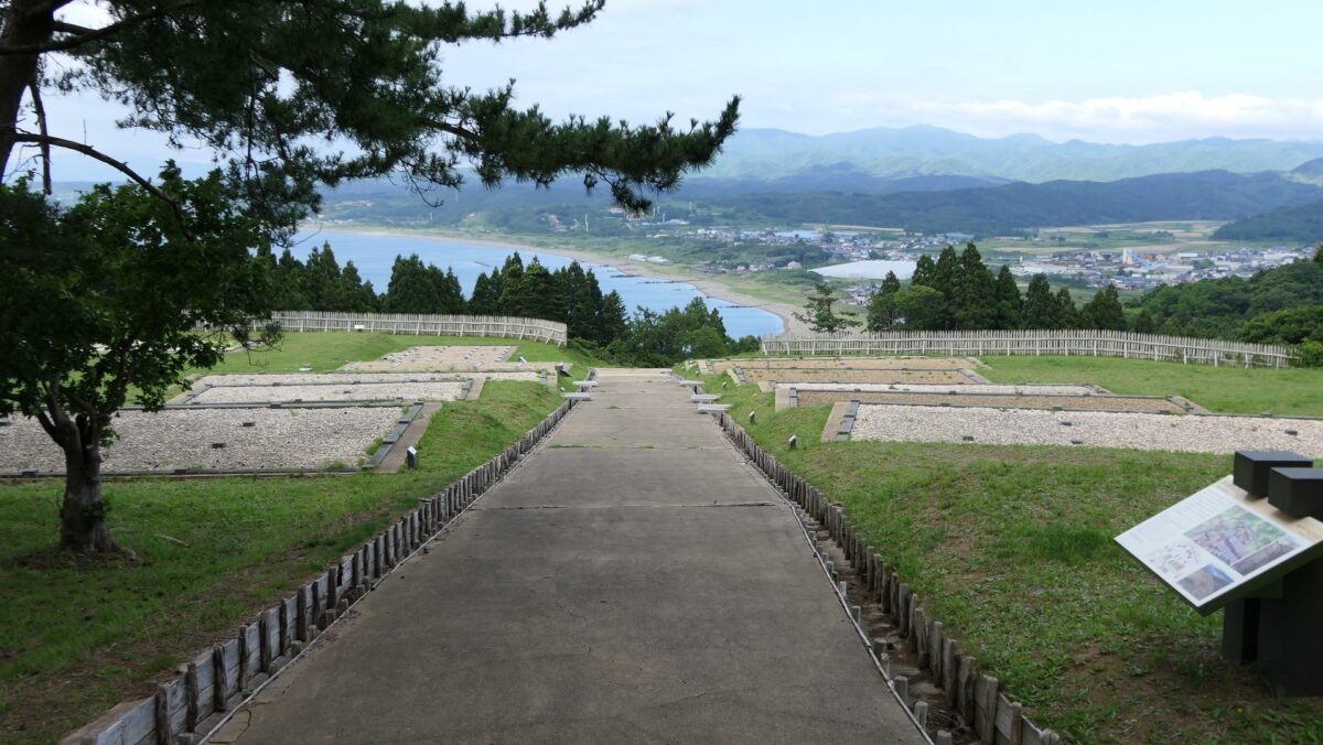
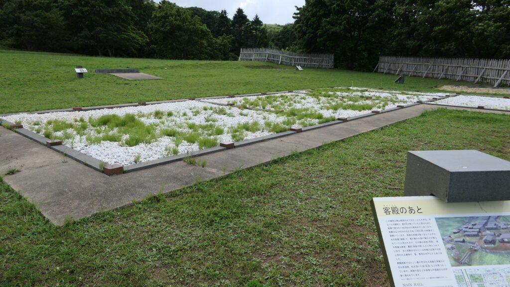
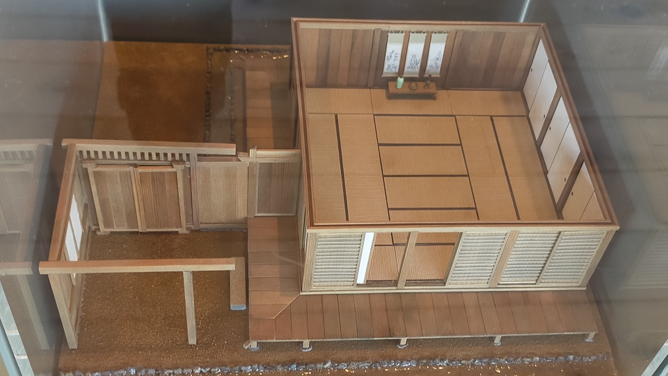
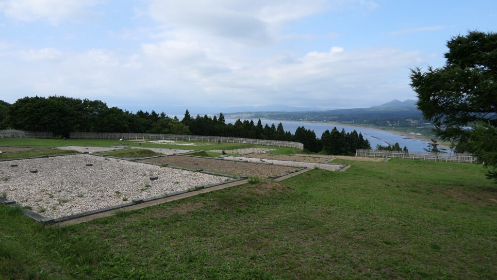
The 3.6m wide central passage goes through the ruins. Next comes the main portion of the hall, a long and wide area gently going down to the Main Gate Ruins.

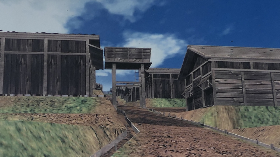
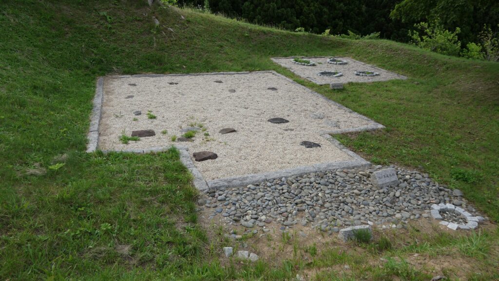
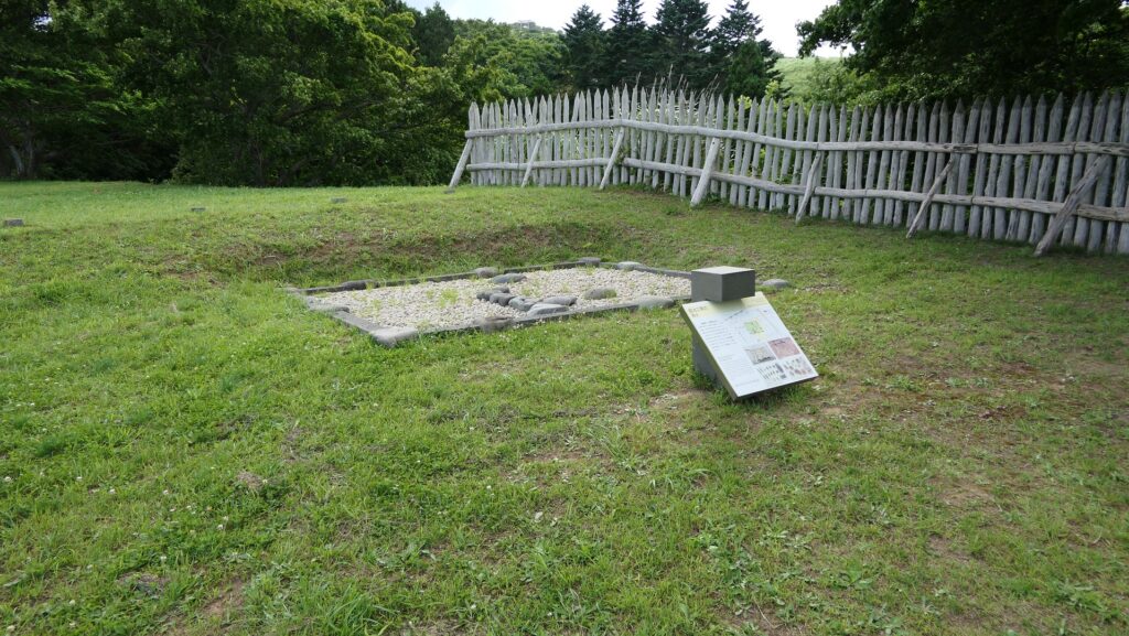
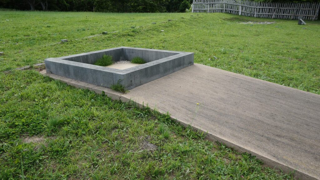
There are no buildings, but lots of flat exhibits of what buildings were built, according to the excavation achievements. The exhibits show the Main Hall, the chief retainer’s house, a public well, a blacksmith‘s workshop, a stable, warehouses, residential houses, and so on.


The excavation team also found about 100 thousand relics such as weapons, religious equipment, trading goods, tools, hunting and fishing items as well as household items including accessories. That means people lived their daily life there. In particular, some of the relics came from the Ainu people, such as their own penknives and poisoned arrows for hunting. This could be another evidence that the mainland and Ainu people lived together. You can also enjoy a good view of the Japan Sea and the seaside area.


To be continued in “Kaminokuni-Katsuyama Date Part3”
Back to “Kaminokuni-Katsuyama Date Part1”