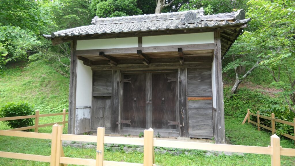
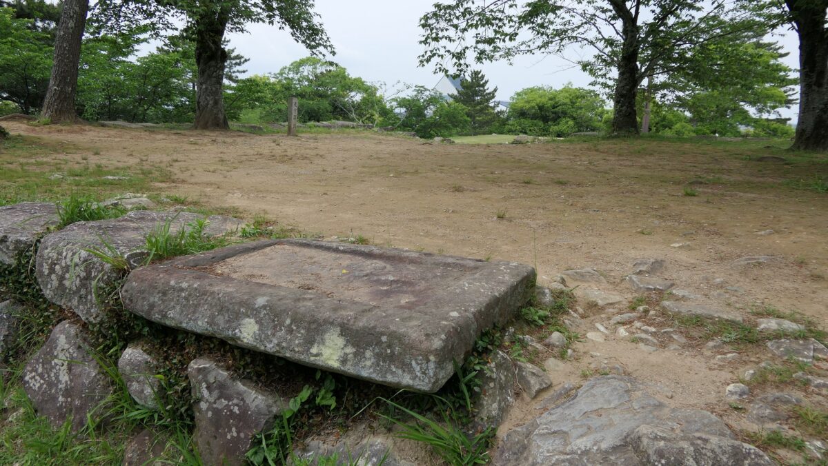
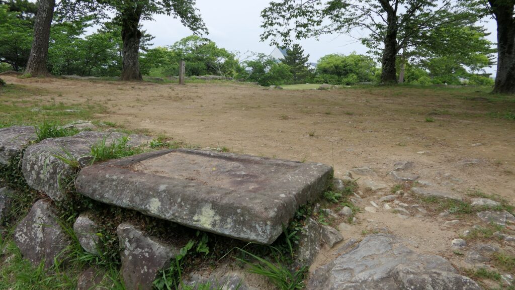
The Main Tower Base even uses a stone sarcophagus.
Features
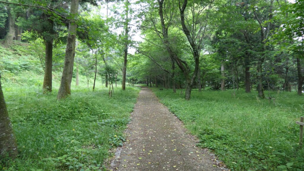
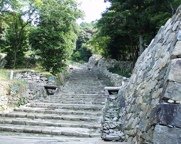
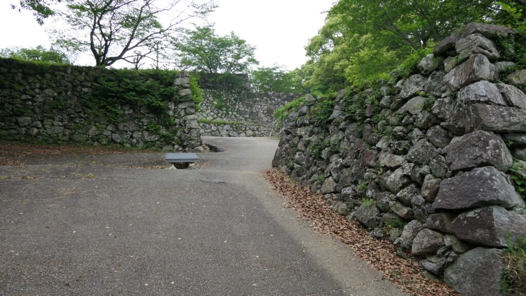
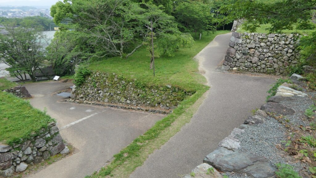
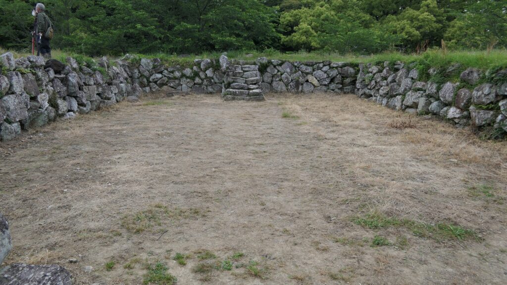
Main Enclosure, Center of Castle
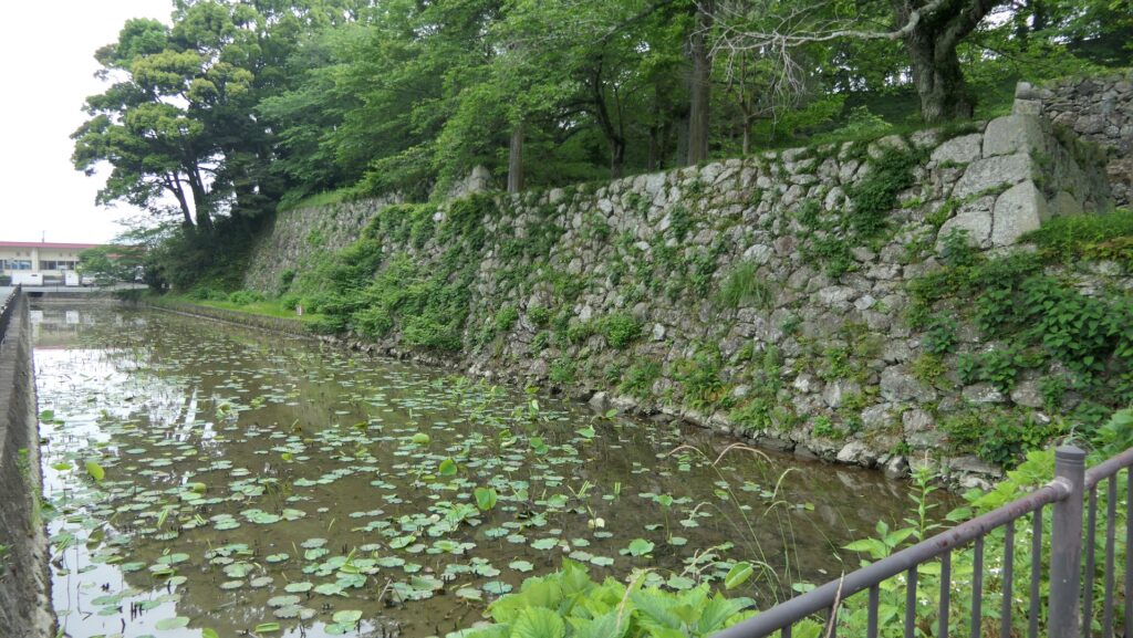
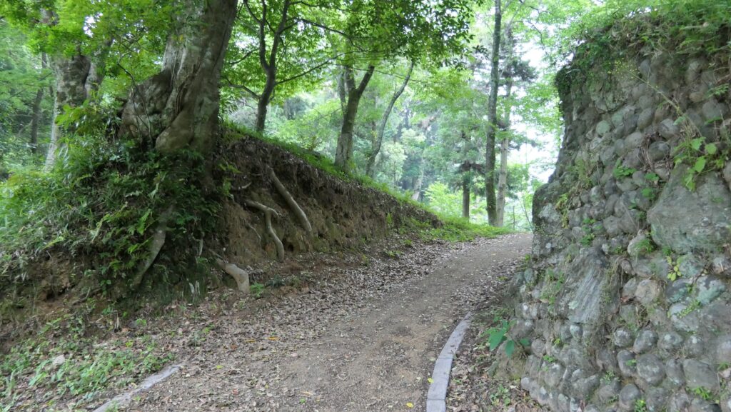
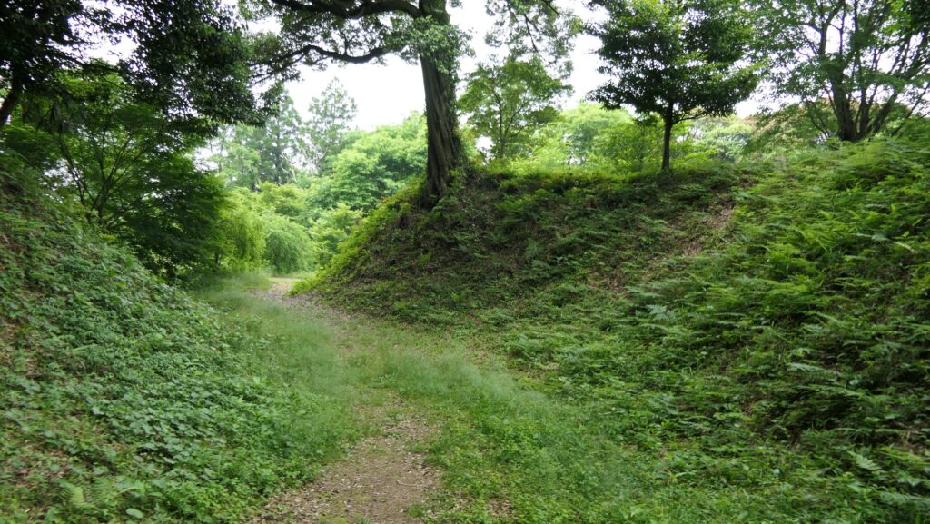
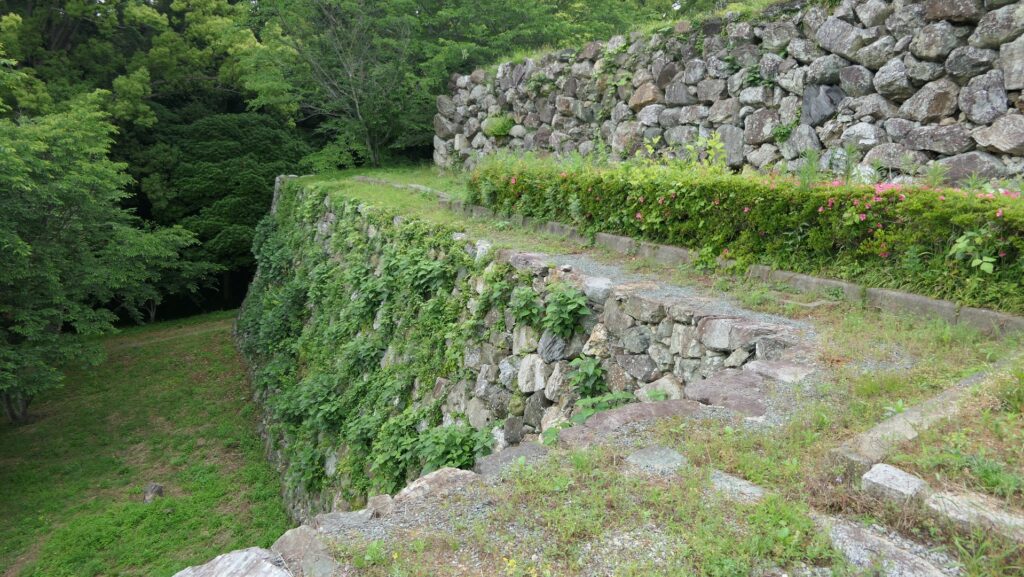
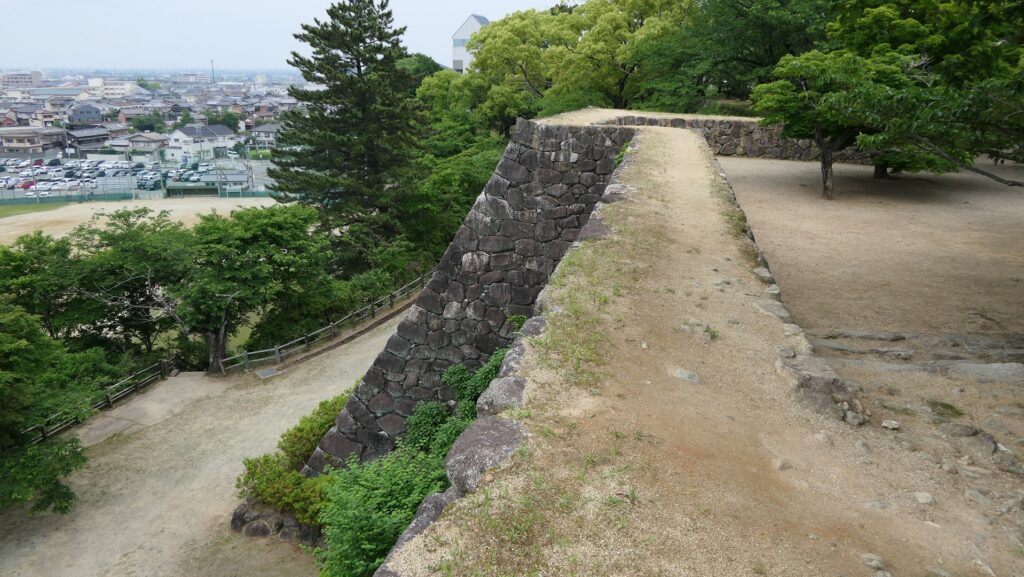
The lower tier had many turrets as the pivot for defense. Though there are no buildings now, you can look down on the routes below the stone walls of the tier clearly.
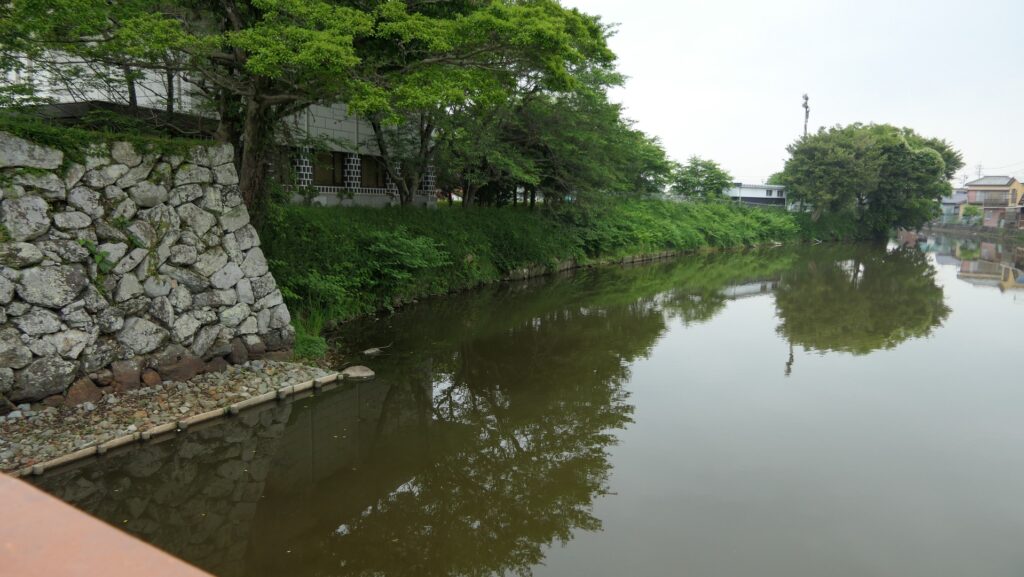
The map around the castle
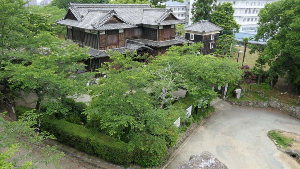
The ruins of Kane-no-yagura Turret at the lower tier of the Main EnclosureA view of Matsusaka City Museum of History and Folklore from the ruins of Kane-no-maru TurretThe ruins of Tsukimi Turret at the lower tier of the Main EnclosureA view of the Second Enclosure from the ruins of Tsukimi Turret
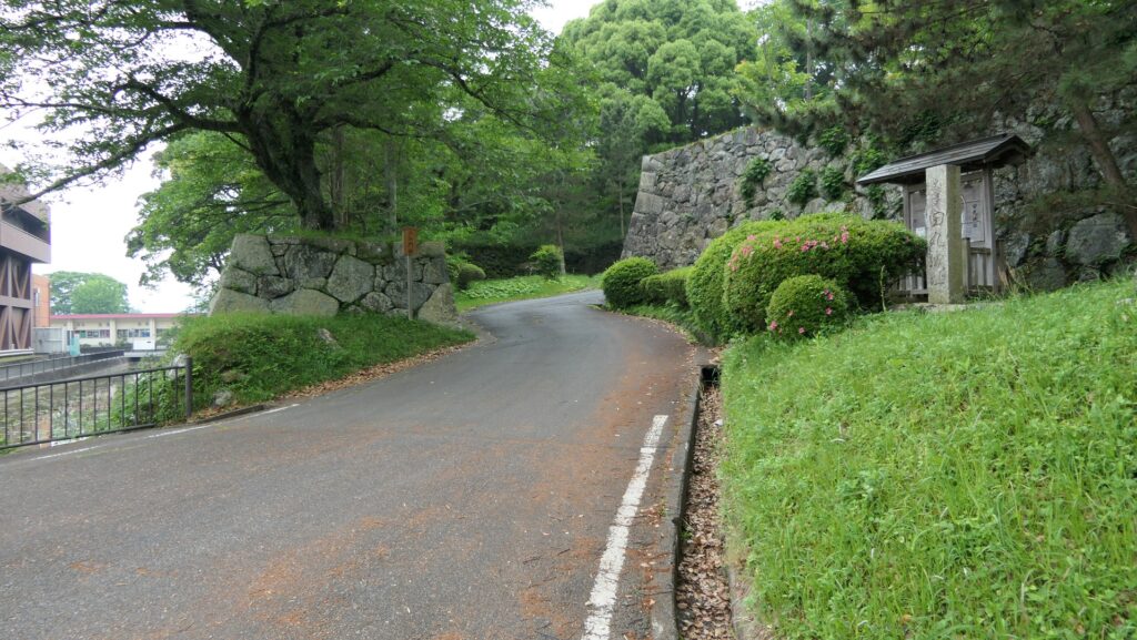
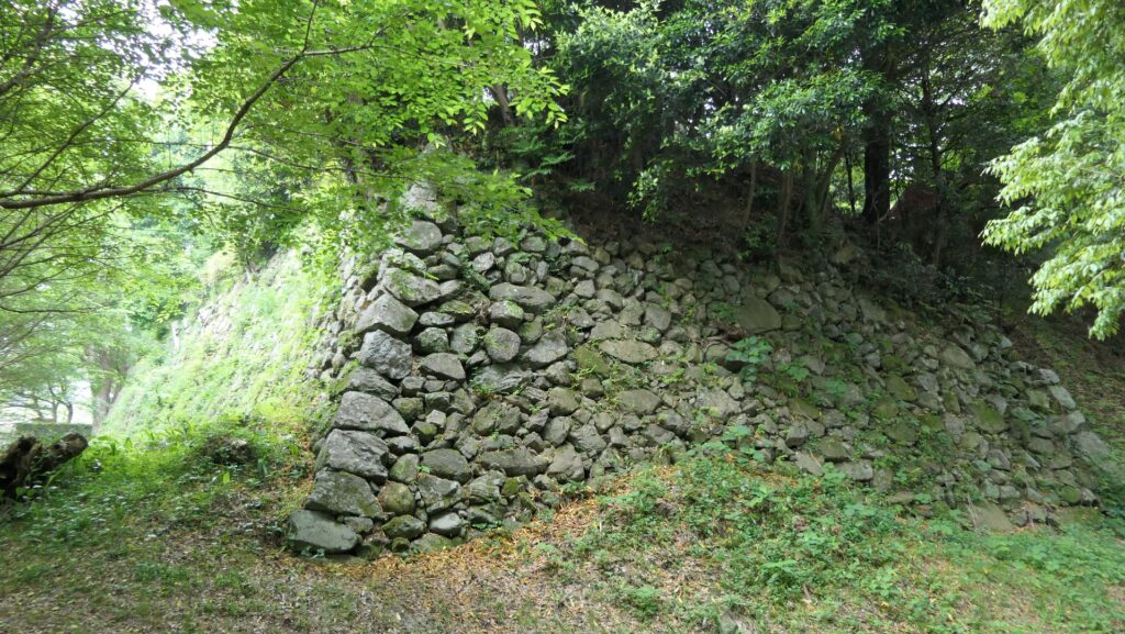
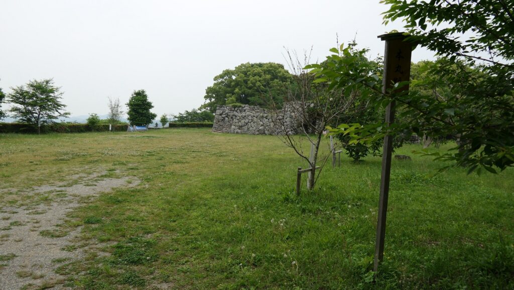
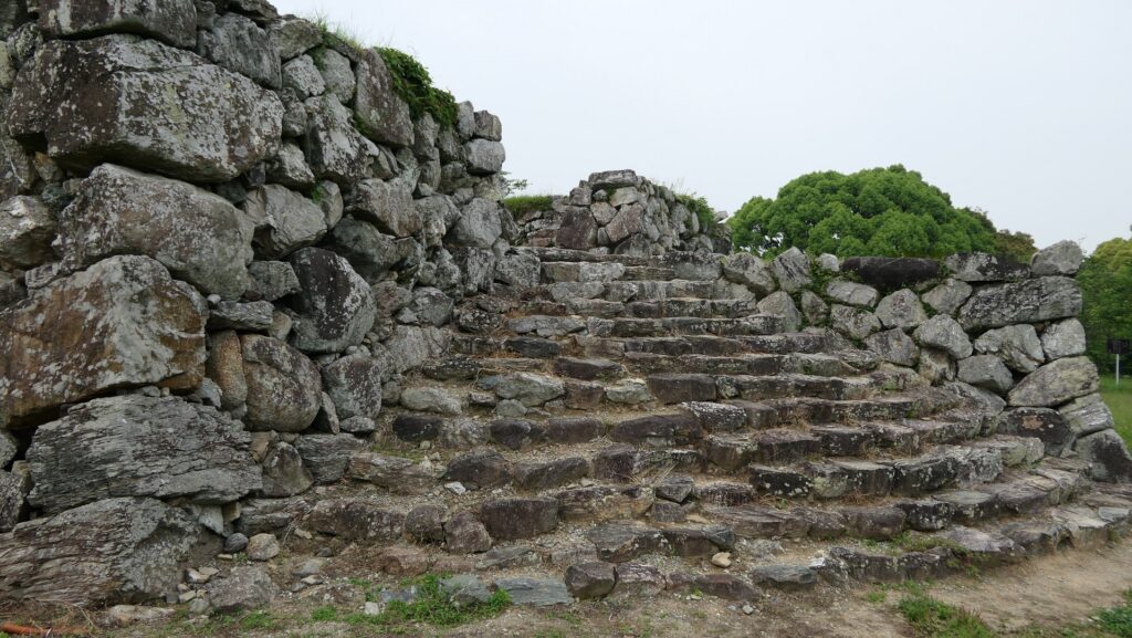
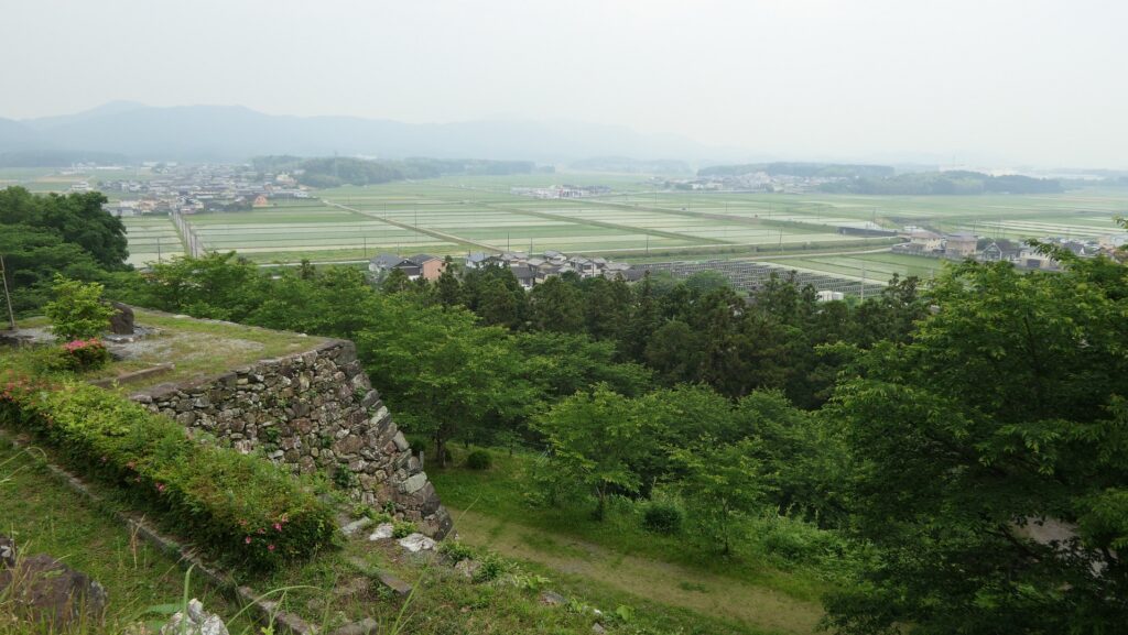
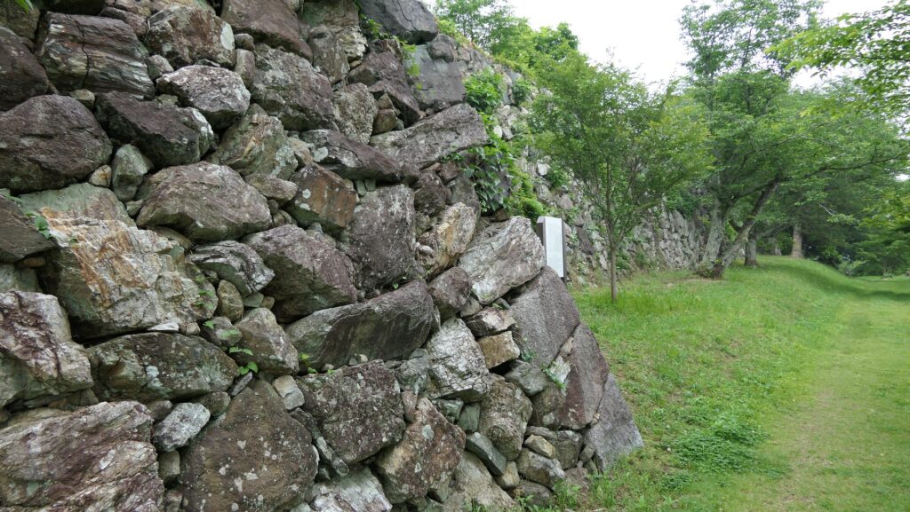
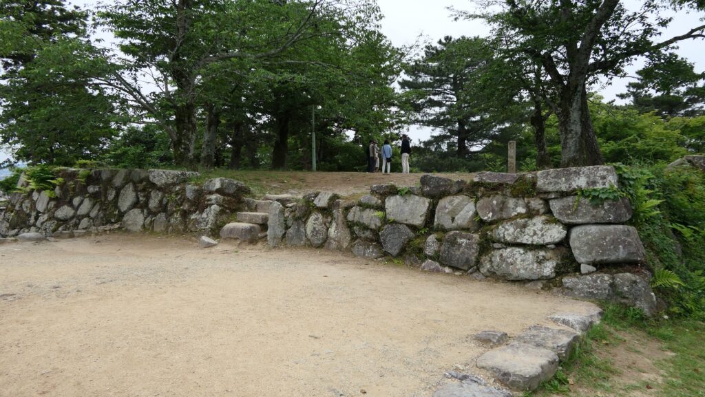
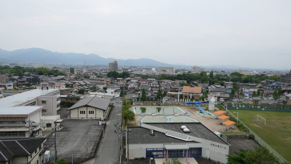
The upper tier had turrets, residences, and the Main Tower. The stone wall base for the tower remains in its original condition from when Ujisato Gamo first built the castle. It looks very old and you can see part of it is made using a stone sarcophagus. This shows the stones for the castle construction were collected rapidly. You can also see a nice city view with mountains behind, as this is the highest point of the castle.
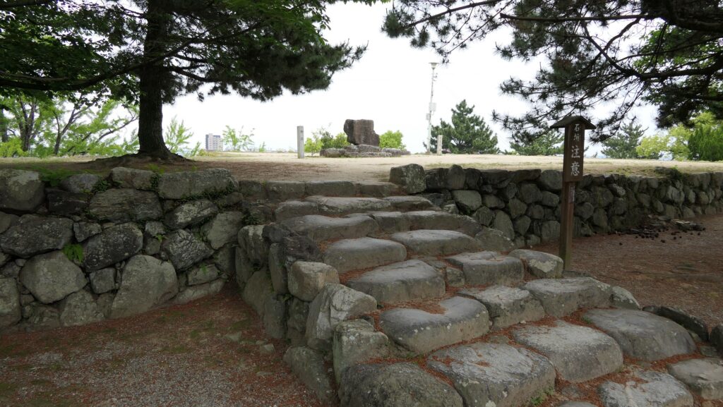
The entrance of the upper tier of the Main EnclosureThe inside of the upper tier of the Main EnclosureThe stone wall base for the Main TowerThe stone sarcophagus used for the stone walls (in the front)A view from the upper tier of the Main Enclosure
Later History
After the Meiji Restoration, Matsusaka Castle was abandoned and the castle buildings were demolished or burned. The main portion of the castle was turned into Matsusaka Park in 1881, while the other has become a city area. Matsusaka City, the former castle town, renovated the stone walls of the castle for as long as 16 years between 1988 and 2003. The city has also been researching the ruins as well. They were finally designated as a National Historic Site in 2011.
The stone wall base for the Main Tower
My Impression
Before my visit to Matsusaka Castle Ruins, I didn’t know much about Ujisato Gamo and the castle. In fact, I was still wondering why the local city has castle ruins with such great stone walls while visiting. However, after learning about who he was and the history of the castle, I understood the reason. I hope that Matsusaka City will maintain the castle ruins and the memory of Ujisato forever because the city would not be there without hin.
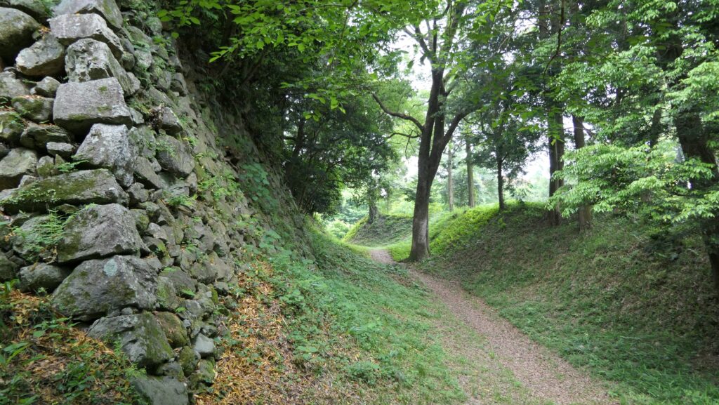
The stone walls of the upper tier of the Main Enclosure
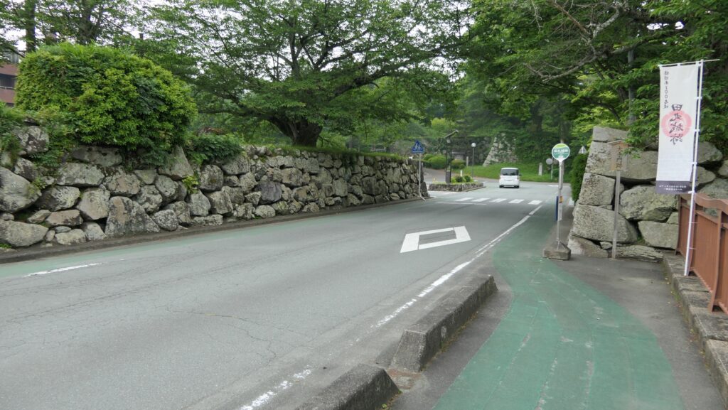
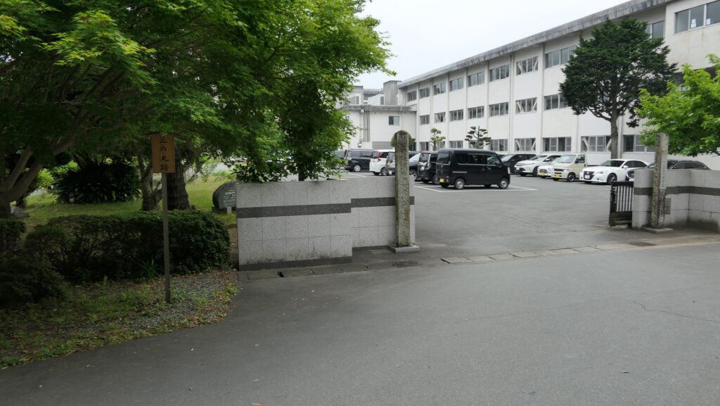
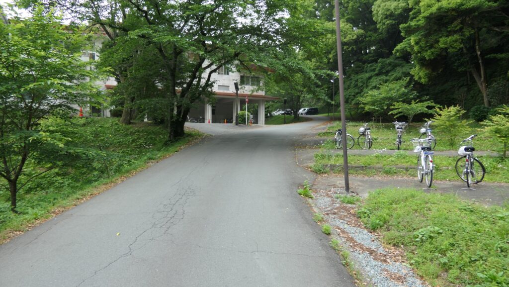
How to get There
If you want to visit the ruins by car, it is about a 15-minute drive away from Matsusaka IC on the Ise Expressway. There is a parking lot for visitors beside the park. If you want to use public transportation, It takes about 15 minutes on foot from Matsusaka Station to get there. To get to Matsusaka Station from Tokyo: Take the Tokaido Shinkansen super express, transfer to the JR Mie rapid train or the Kintetsu-Nagoya Line on Kintetsu Railway at Nagoya Station.