Features
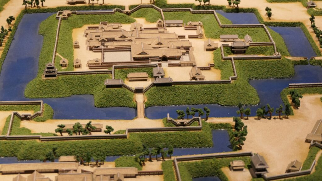
The ruins of Kofu Castle is just close to Kofu Station. The ruins are the eastern part of the main portion, and the western part was turned into the city area such as the Yamanashi prefectural office. Moreover, the ruins are divided between north and south by the station and the railway. That’s why the station is so close.
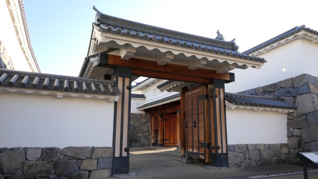
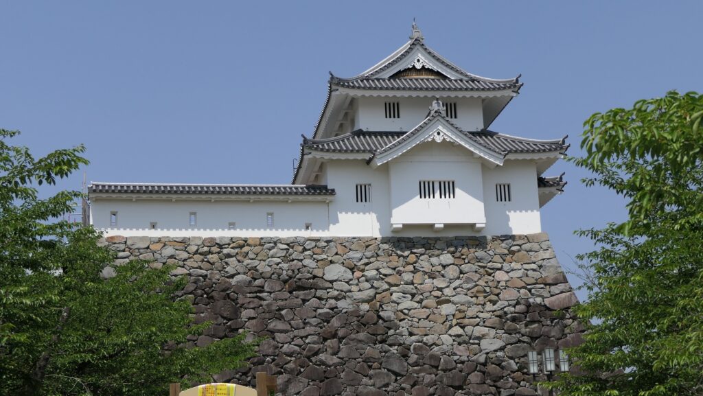
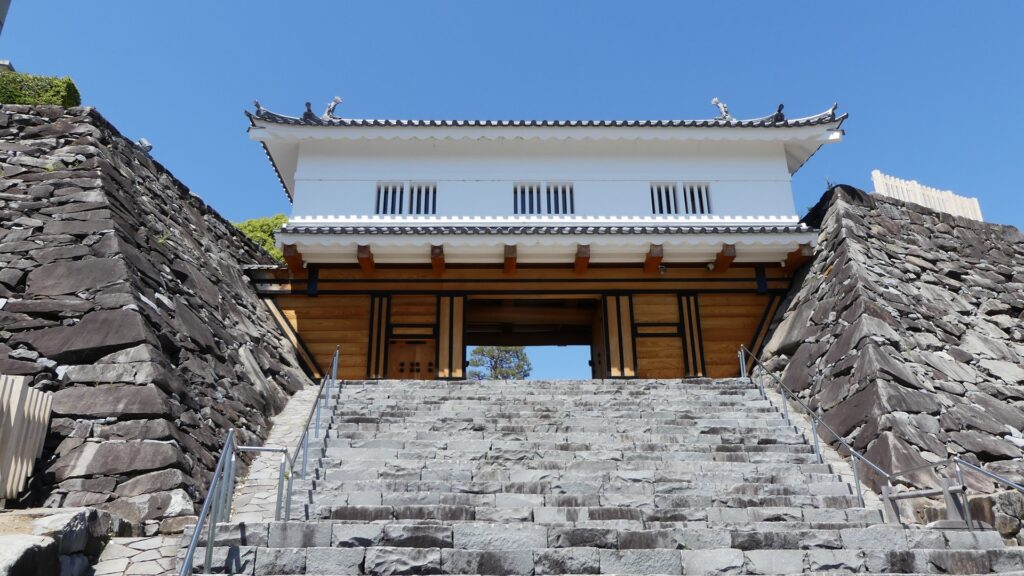
The aerial photo around the castleRestored Yamanote-mon Gate in North of Station
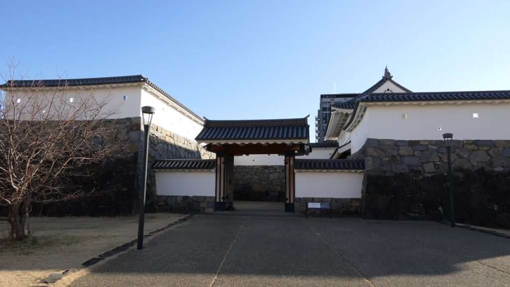
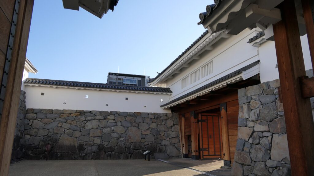
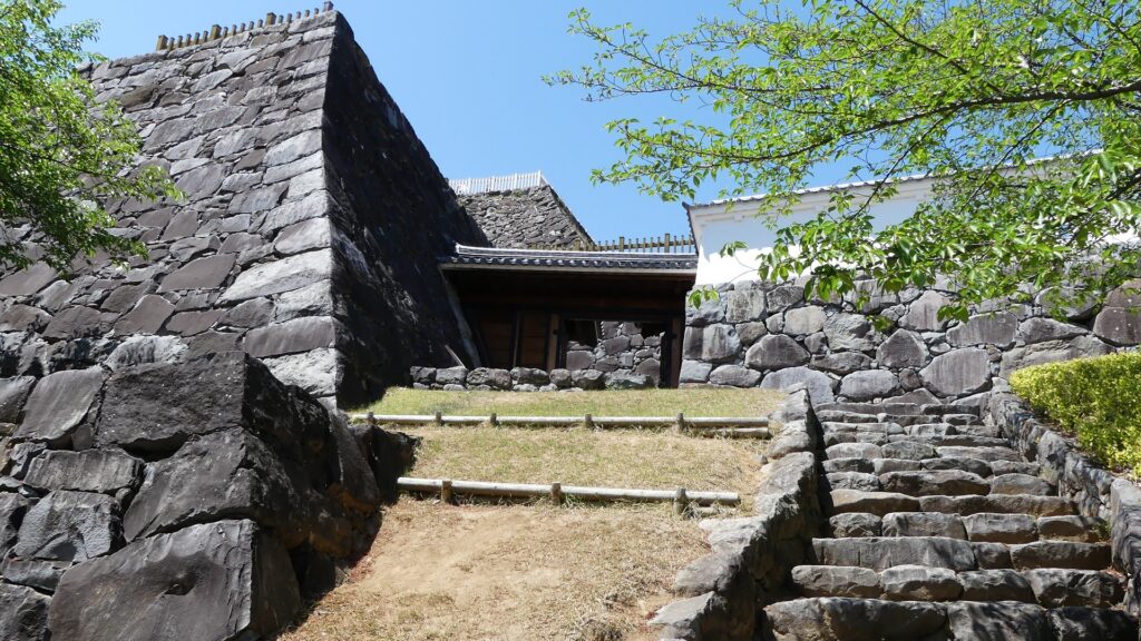
In the north, you can visit the Yamanote-mon Gate which was restored as the Kofu City Historic Park in 2007, using the original way. It is one of the three entrances of the castle, and the only one that we can see now. It has a typically gate style usually found in castles of the Edo Period called “Masugata”. The style has a square space inside sandwiched by two gate buildings facing different directions, which serves as defensive wall.
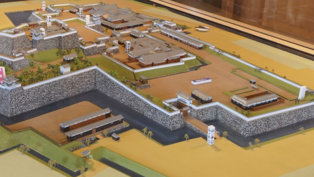
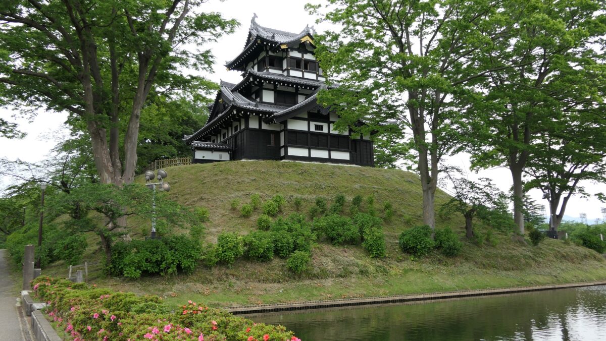
Center of Castle “Maizuru Castle Park” in South of Station
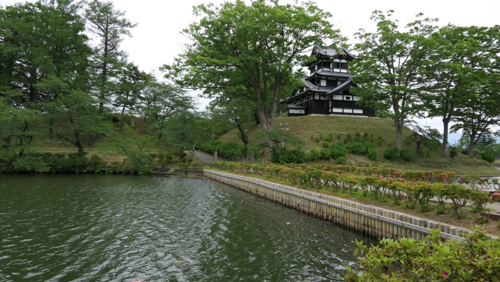
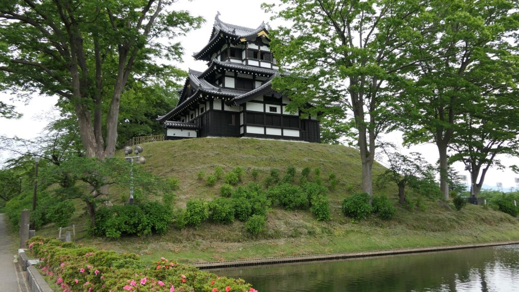
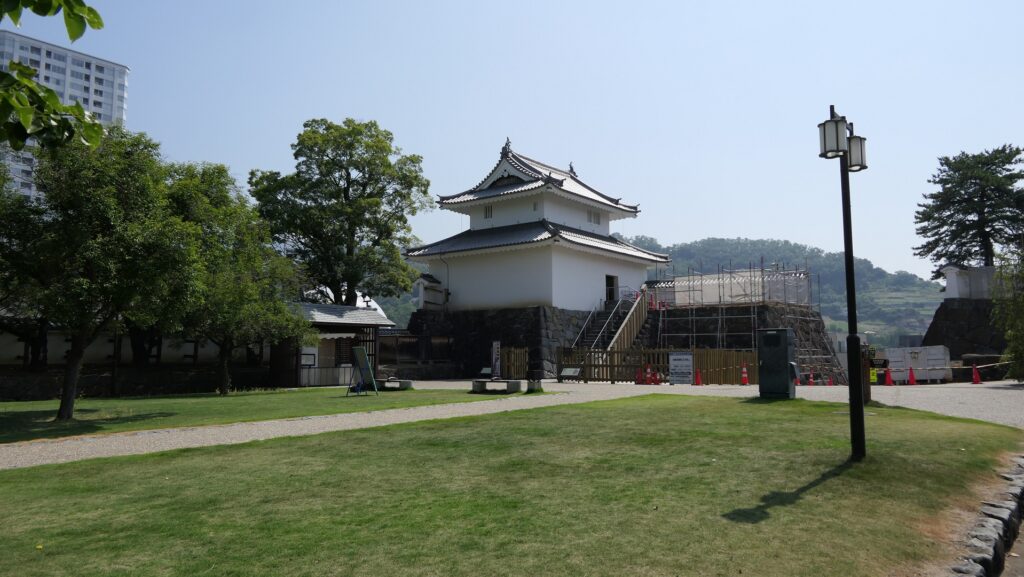
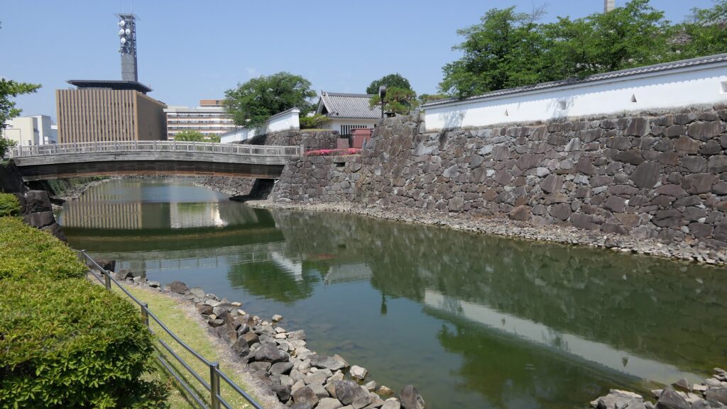
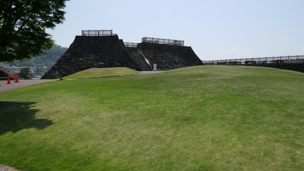
Crossing the railway through the station to the south, you will stand in front of the Inari Enclosure with the restored Inari Turret. This is where the entrance of Maizuru Castle Park is. Maizuru is a nickname of Kofu Castle, which comes from the castle looking like a flying crane in the past. You might think it’s the castle’s entrance, but you are already in the castle area for the reasons mentioned above. The turret is on the Inari Enclosure located on the northeast corner of the mid slope of the hill.
The map around the castle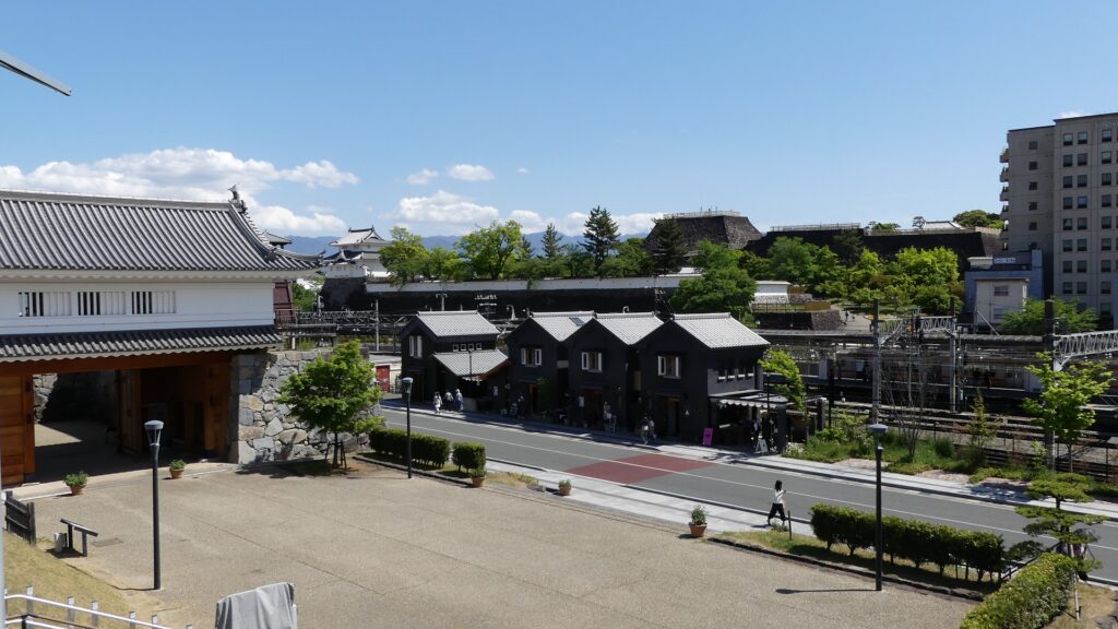
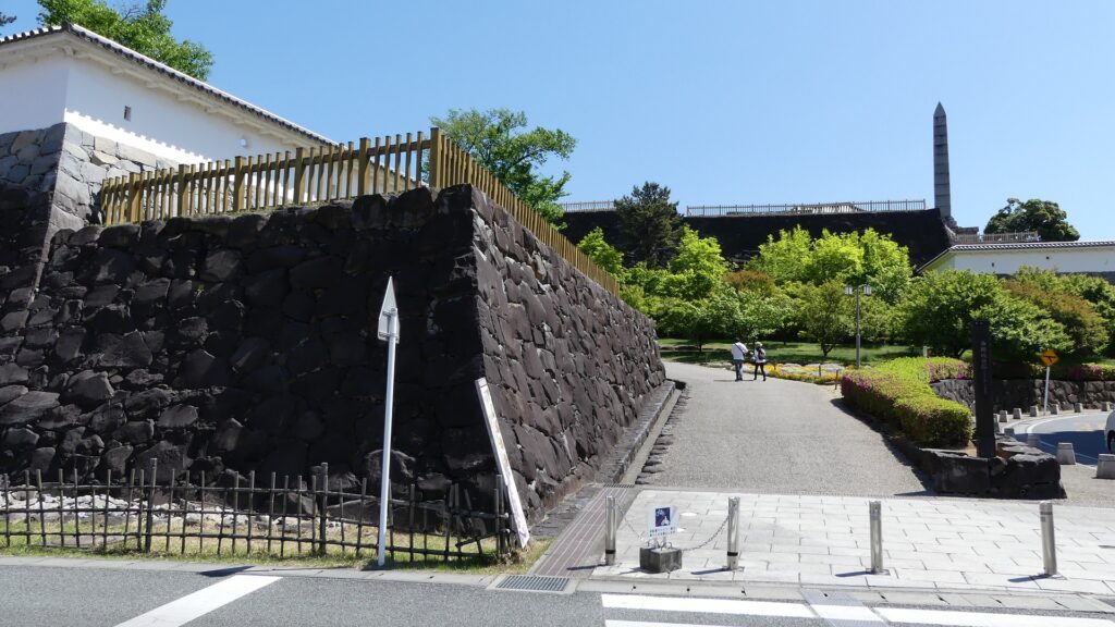
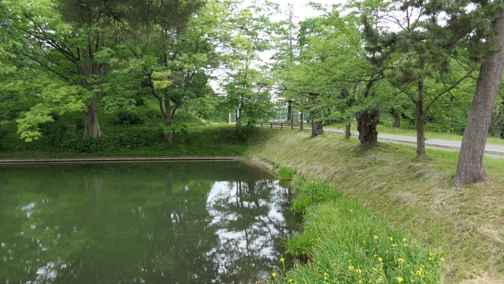
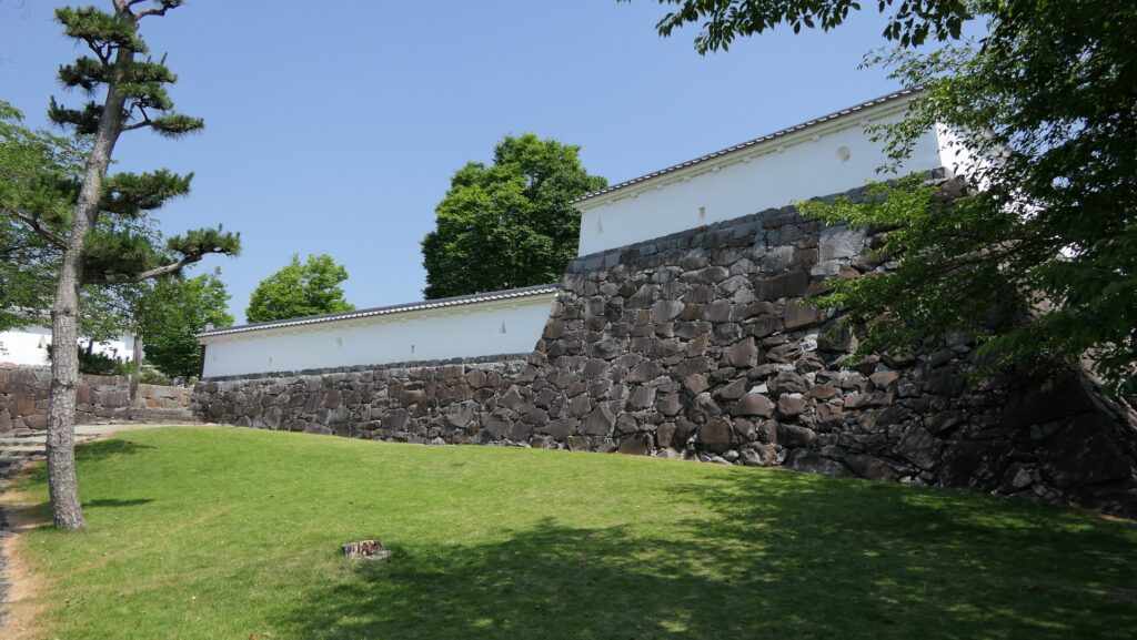
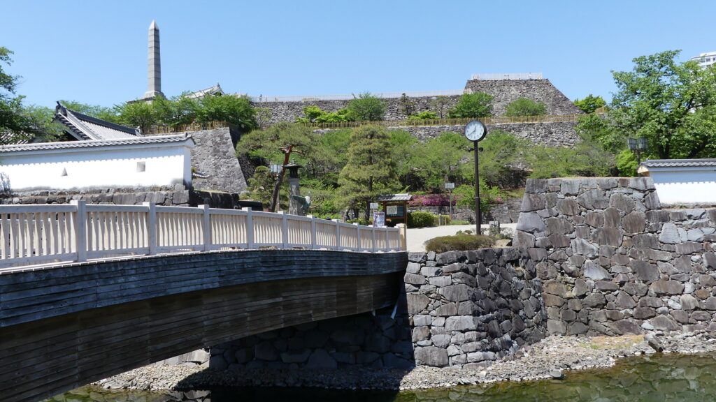
You can walk around the eastern side of hill to the south through the Sukiya Enclosure. You will eventually arrive at the Kaji Kuruwa at the southern foot of the hill. You can see the stone walls still cover the whole hill by the walk.
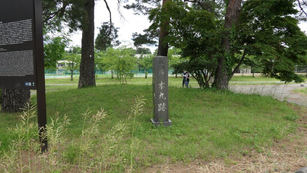
Going to Main Enclosure
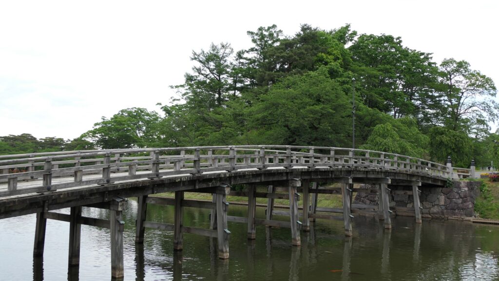
Part of the Inner Moat remains only at the southern foot of the hill. There is a wooden bridge over the moat as the entrance of the park which was built in the present.
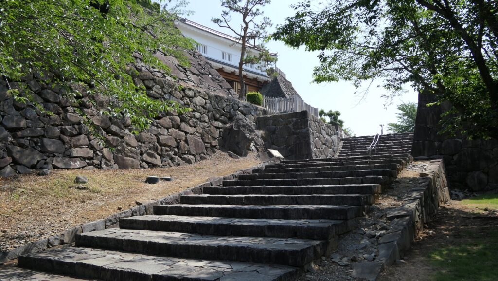
You can walk up to the top of the hill through the zigzagged route surrounded by stone walls. The restored Kurogane-mon Gate is in front of the Main Enclosure where the main enclosure turret used to be located. There was also the Bishamon-do Hall built in Yanagisawa’s period which remains at another place in Kofu City called the Keko-in Temple.
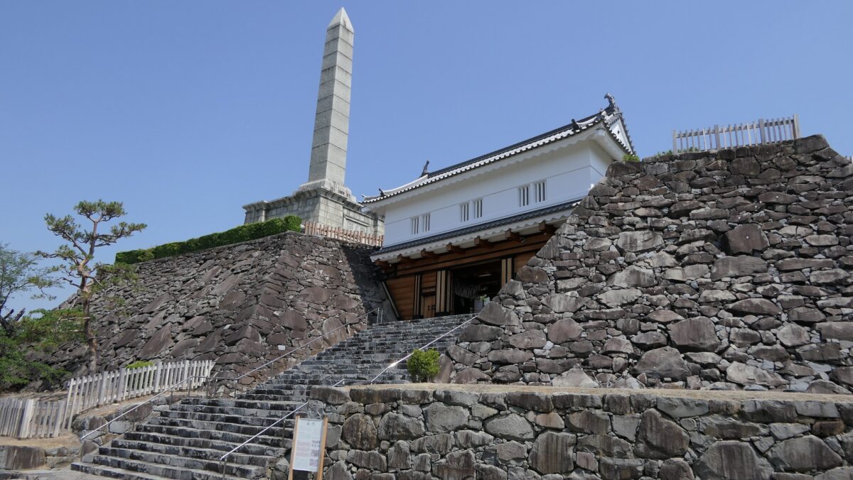
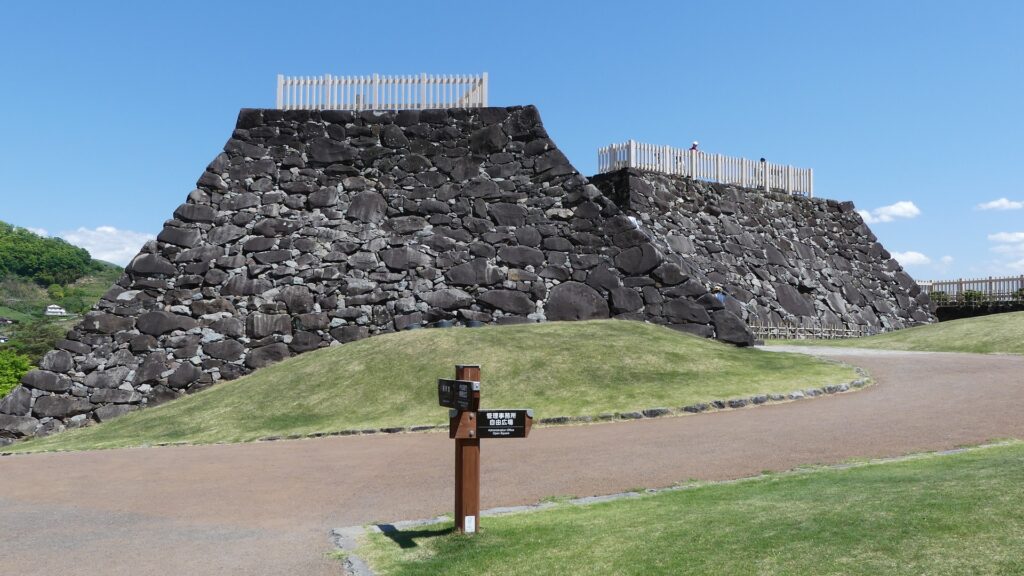
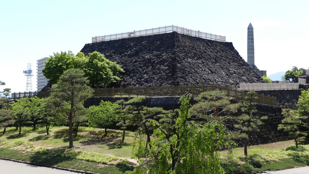
Mysterious Base for Main Tower and Great View
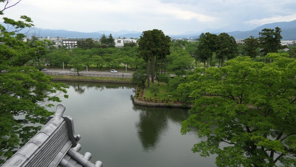
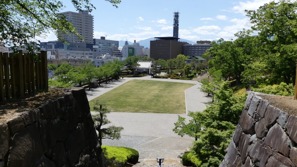
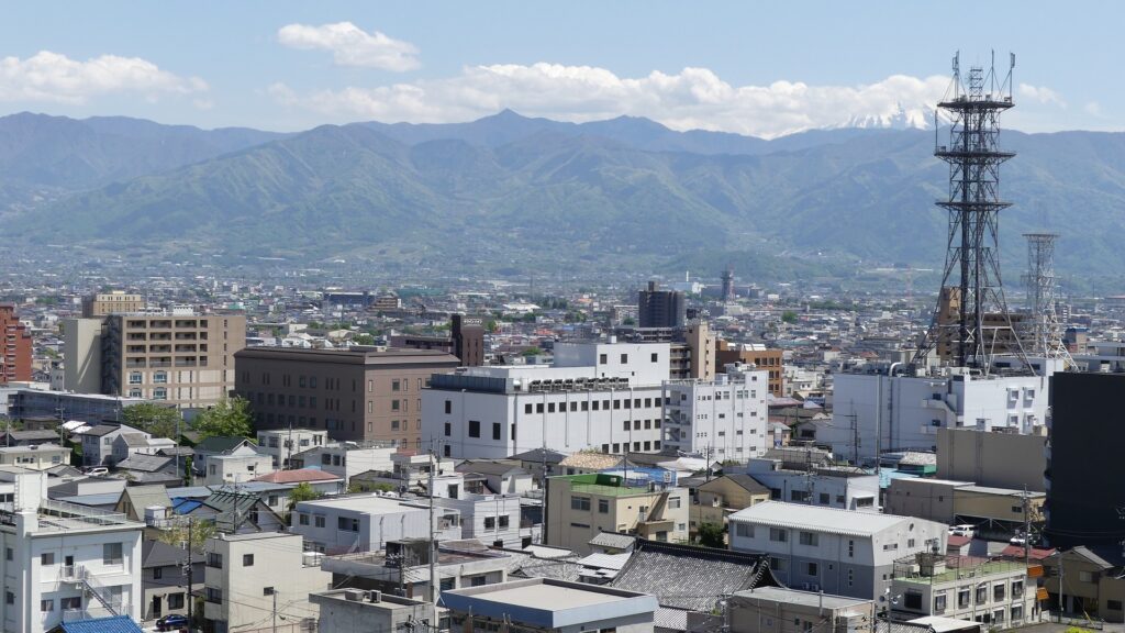
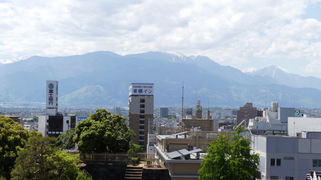
The stone wall base for the Main Tower remains next to the Main Enclosure. In fact, it is still uncertain if the base had a Main Tower or not. There has been no evidences for the tower such as drawings and other records, while ridge-end tiles with golden leaf and roof tiles with a clan’s family crest which might have been used for a Main Tower were found by excavations. Anyway, you should check out a great 360-degree view of Kofu City from the top of the base. The city in on the Kofu Basin which is all surrounded by the mountains. For example, You can see Mt. Fuji on the south and the South Alps on the west if the weather is fine.
To be continued in “Kofu Castle Part3”
Back to “Kofu Castle Part1”