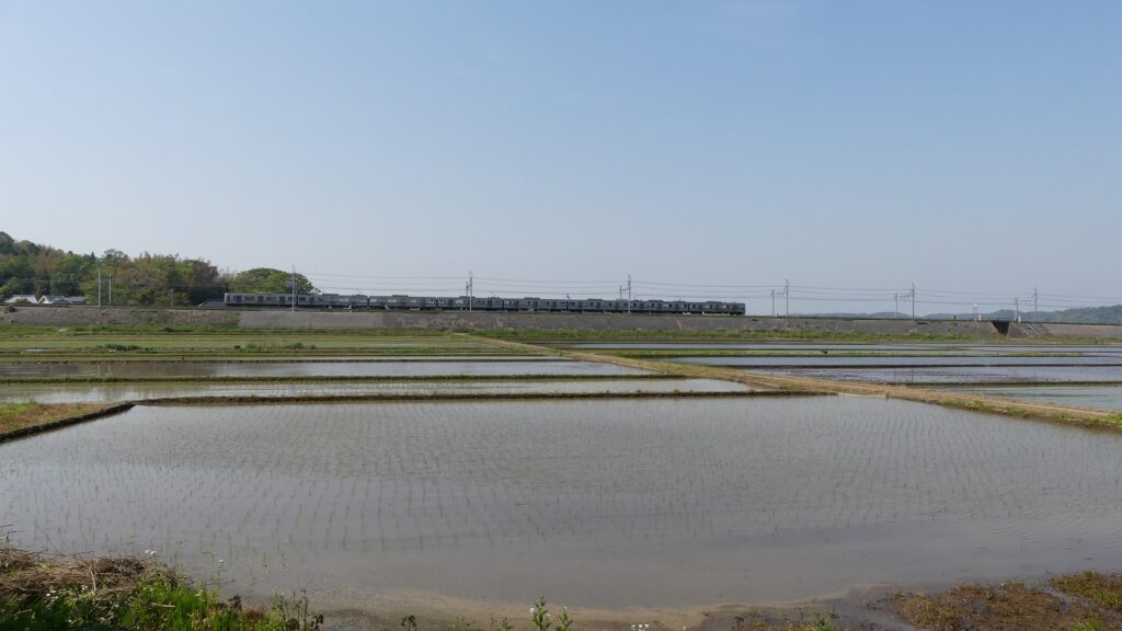
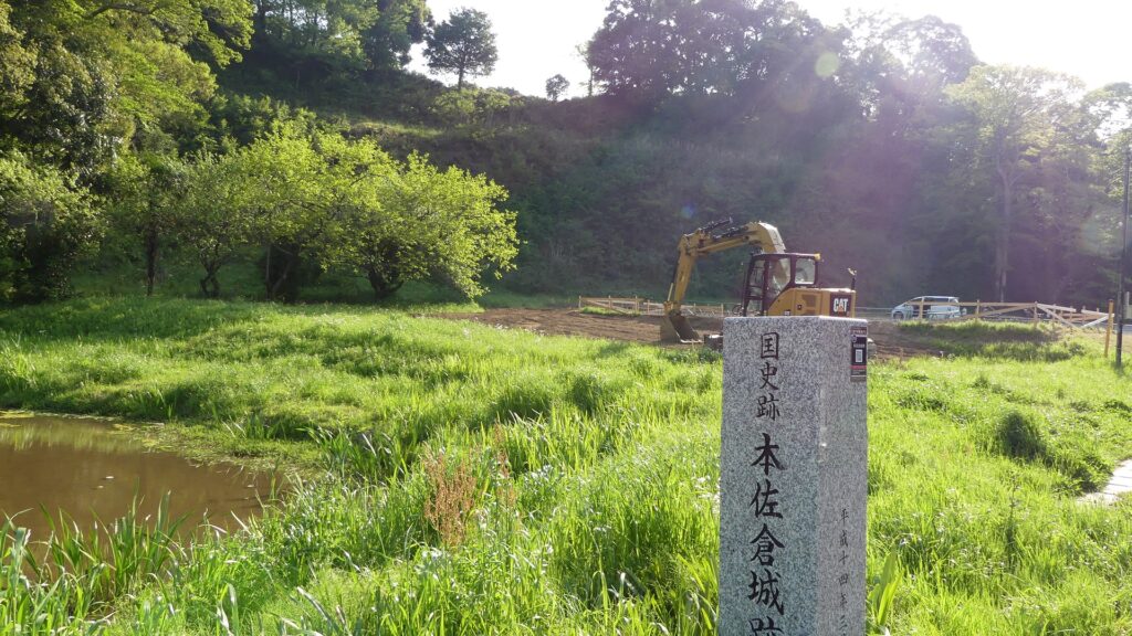
Now, the ruins of Motosakura Castle look like just a hilly area, but certainly exist with earthen foundation. For instance, if you go to Narita Airport on the Keisei line, you will see the castle ruins on the right about 10km short of the airport. If you visit the ruins by train, you have to get off the train at Osakura Station.
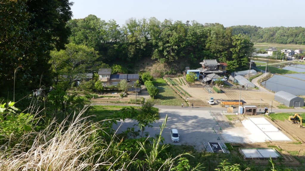
The aerial photo around the castle
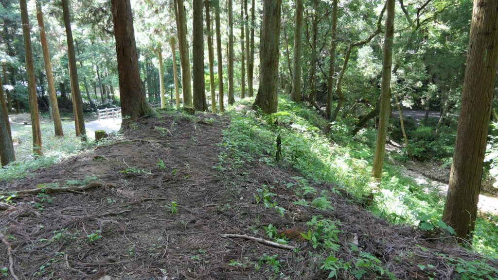
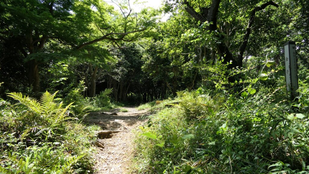
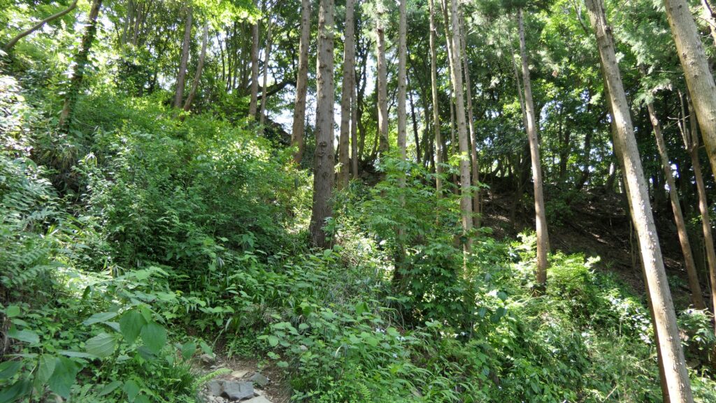
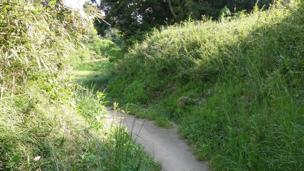
Entering Main Enclosure through Higashi-yama
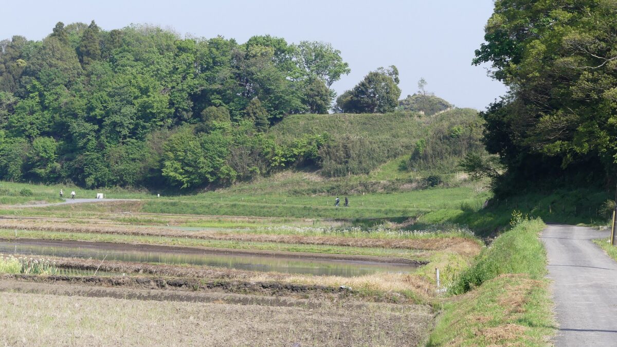
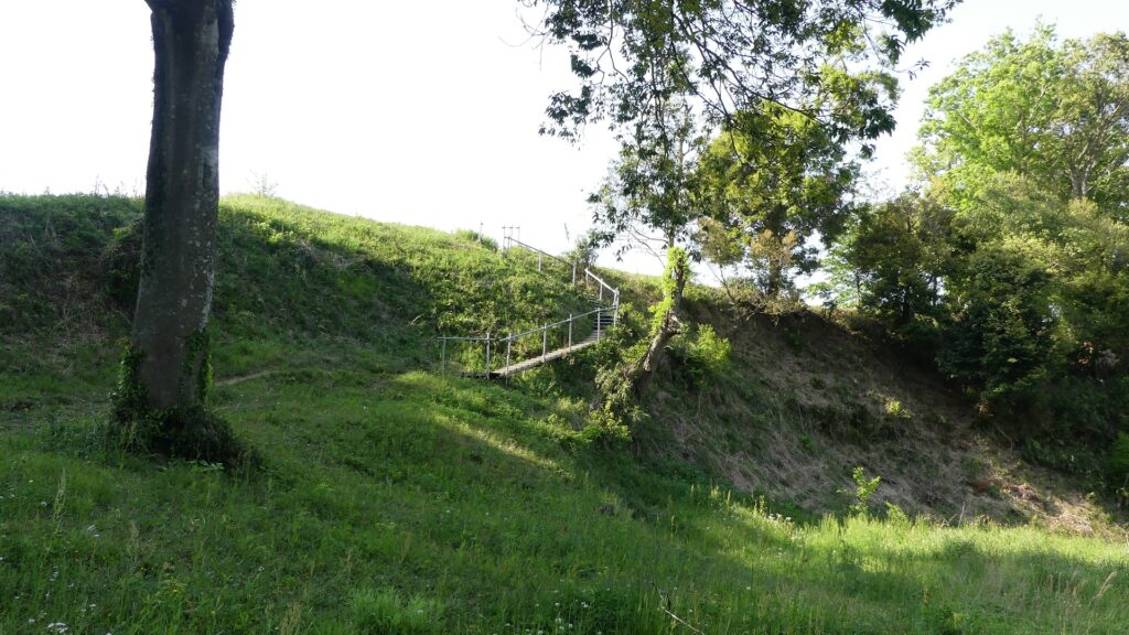
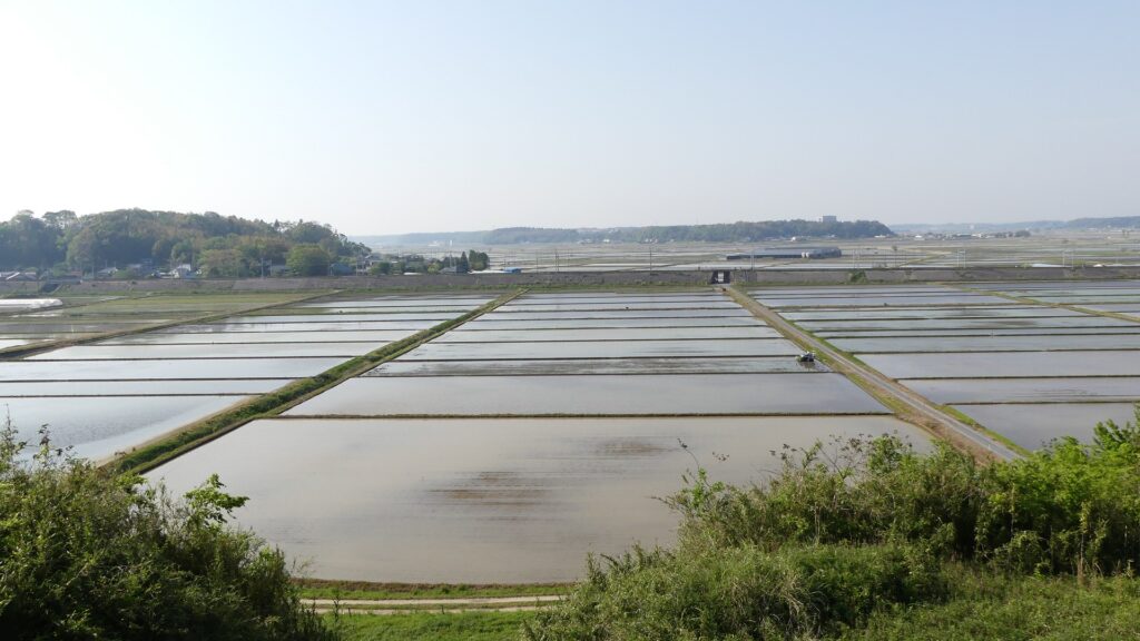
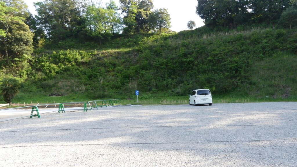
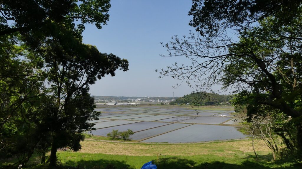
The castle ruins have some tiers. The front low tier is the Tokoji-byo Enclosure which faced the lakeside. That means the spacious rice field in front of it was a lake or waterlogged area in the past. Going to the east, you can enter the Inner Compounds of the castle through the Higashi-yama Entrance. The entrance is narrowly sandwiched by the Higashi-yama Enclosure and another one. The Higashi-yama Enclosure still stands like a wall, and you can walk up to the top easily and see a good view of a rice field on the north. The behind of the enclosure is a flat area which was used as a riding ground and is now used as a parking lot.
The Tokoji-byo EnclosureThe rice field was a lake in the pastThe entrance sandwiched by the Higashi-yama EnclosureThe Higashi-yama EnclosureA view from the Higashi-yama EnclosureThe parking lot behind the Higashi-yama Enclosure
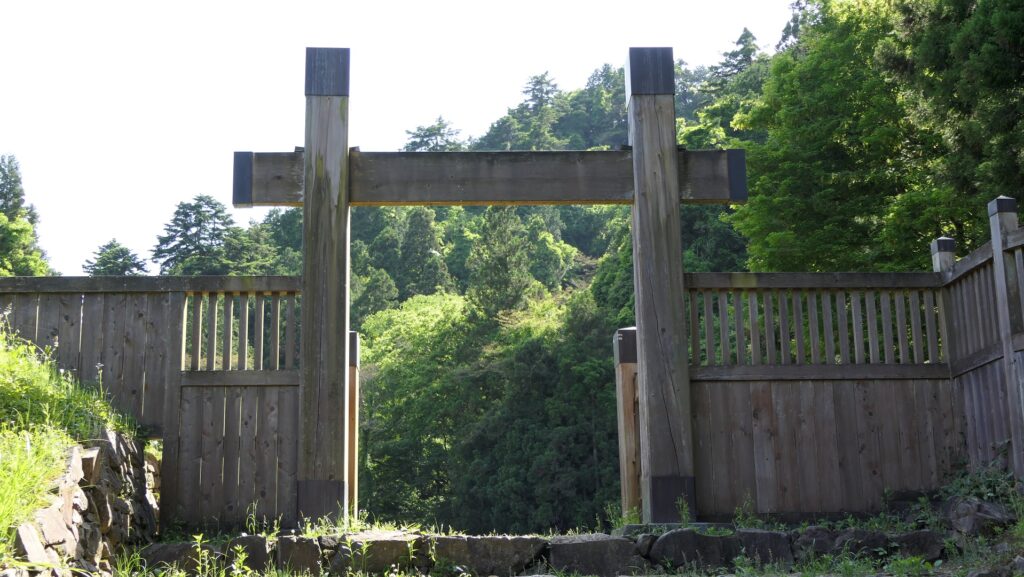
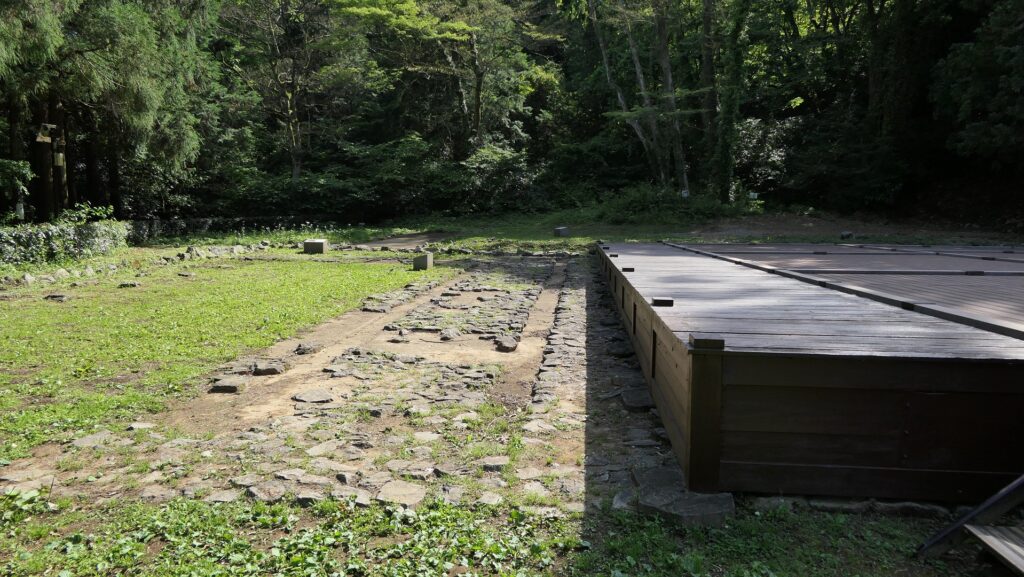
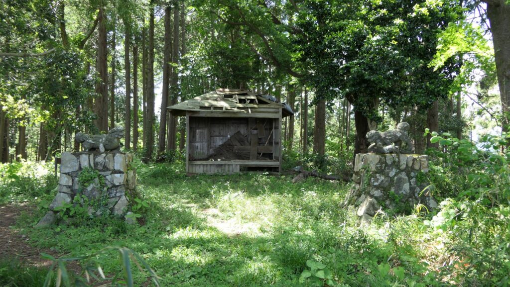
Main Enclosure with Best Location
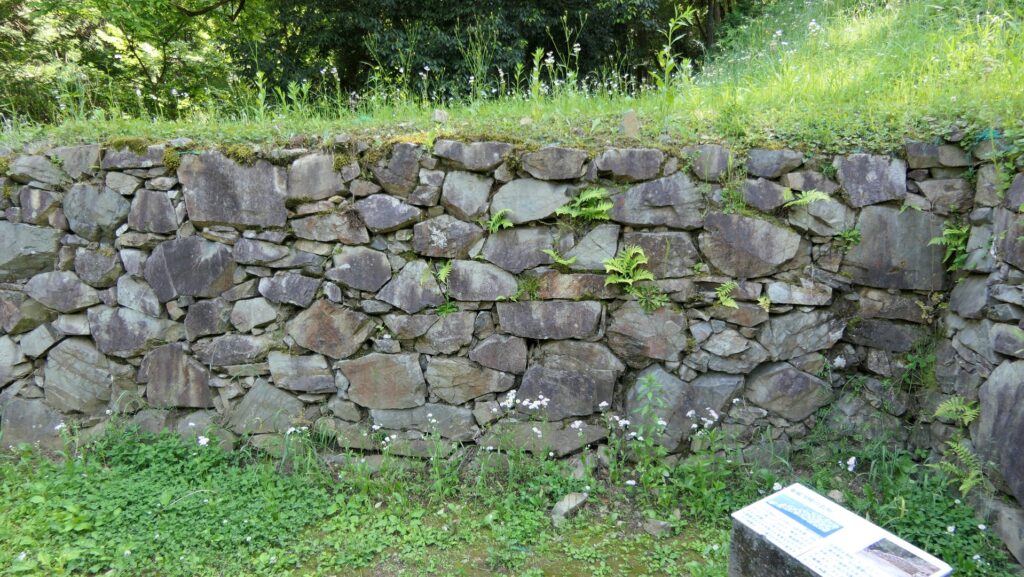
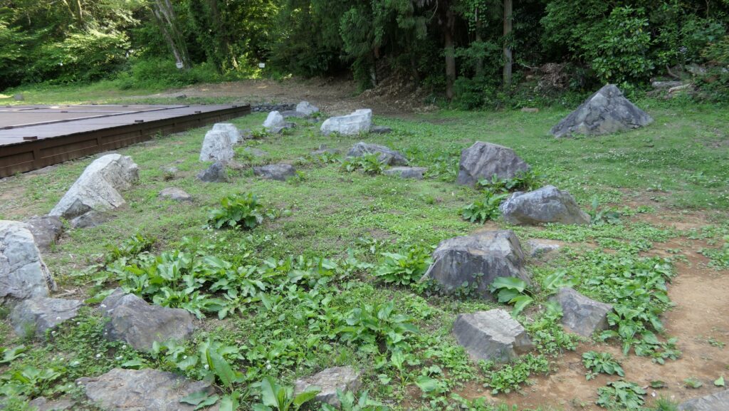
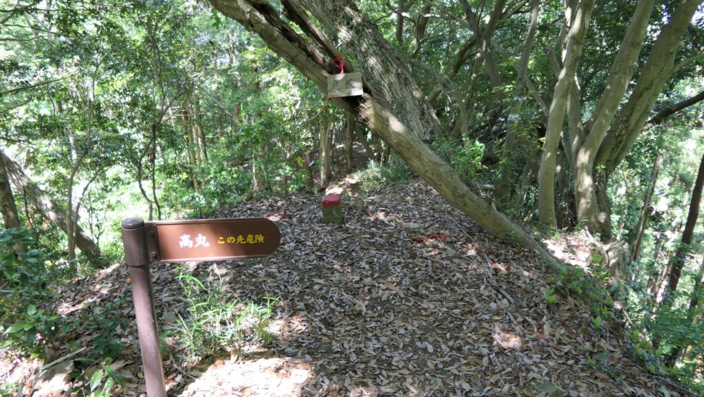
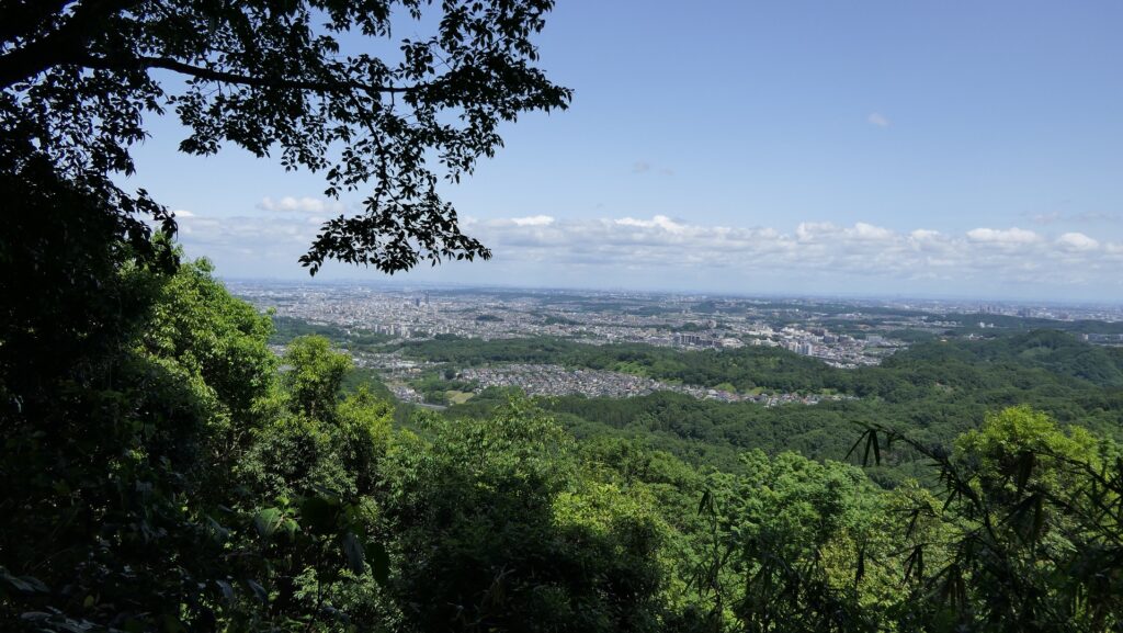
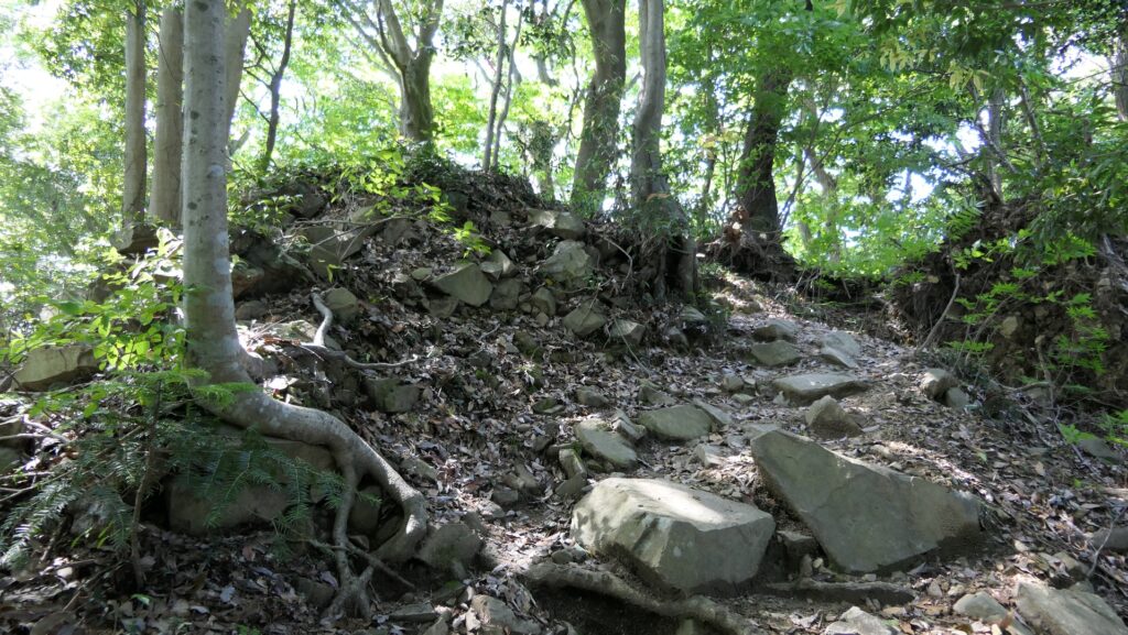
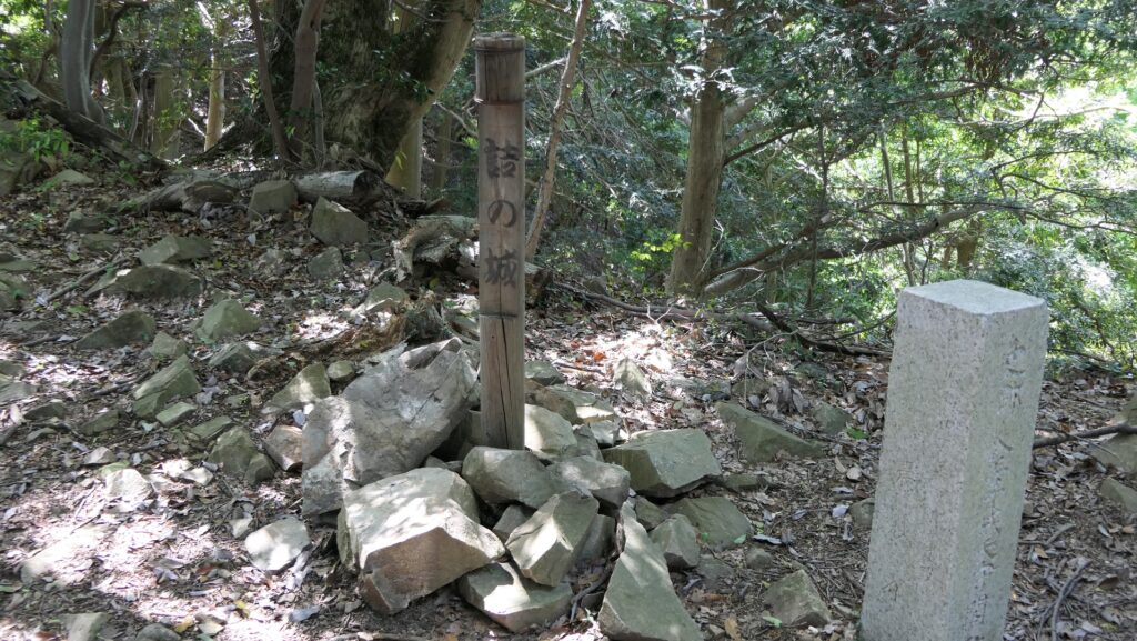
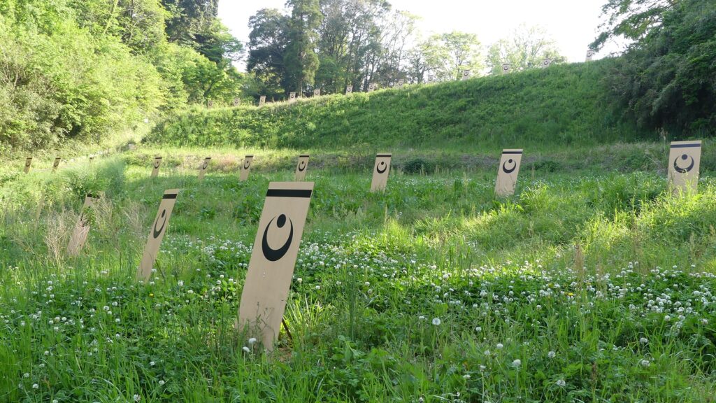
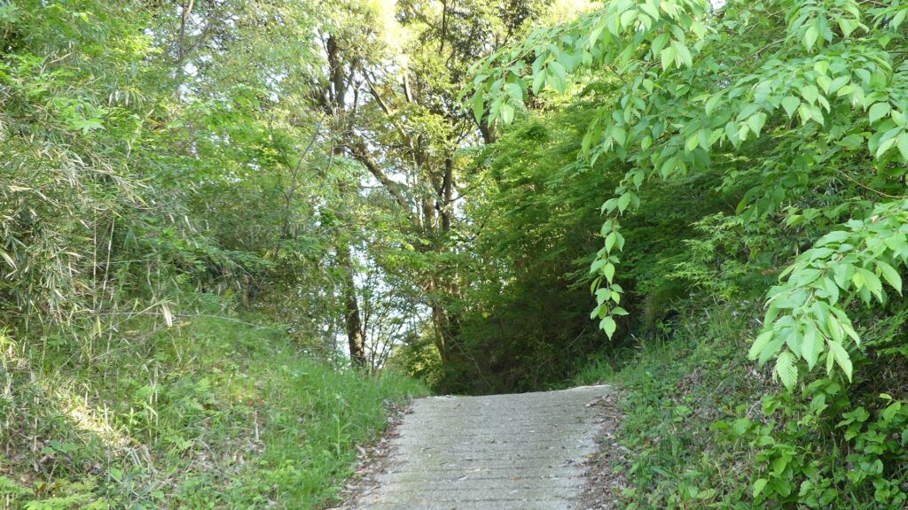
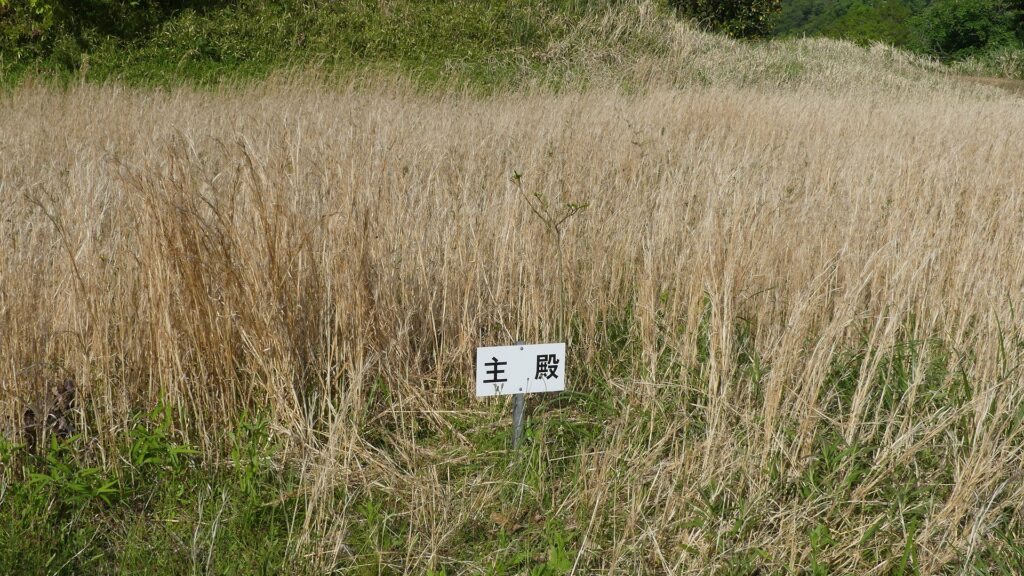
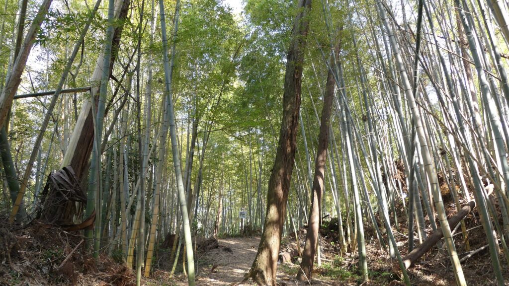
You can also walk up on the trail from there to the Main Enclosure, seeing the many imitation shields. The trail goes between the Main Enclosure and the Okuno-yama Enclosure, where a bridge was built above. Then the trail is divided into two branches for both enclosures. The branch to the Main Enclosure is windy and steep, which was for defense. The inside of the enclosure is empty, but it was found by the excavation that many buildings including the Main Hall and a turret were built in the past. You can overlook the plain area below and the Higashi-yama Enclosure on the opposite side from the enclosure. This means the lord of the castle could see visitors or enemies coming to the castle easily.
The imitation shieldsThe point where the wooden bridge was built aboveThe two branches (to the Main Enclosure on the left, to the Okuno-yama Enclosure on the right)The trail to the Main EnclosureThe Main Enclosure (the point where the Shuden building was built)A view from the Main Enclosure
Going to Dry Moat of Settei-yama Enclosure
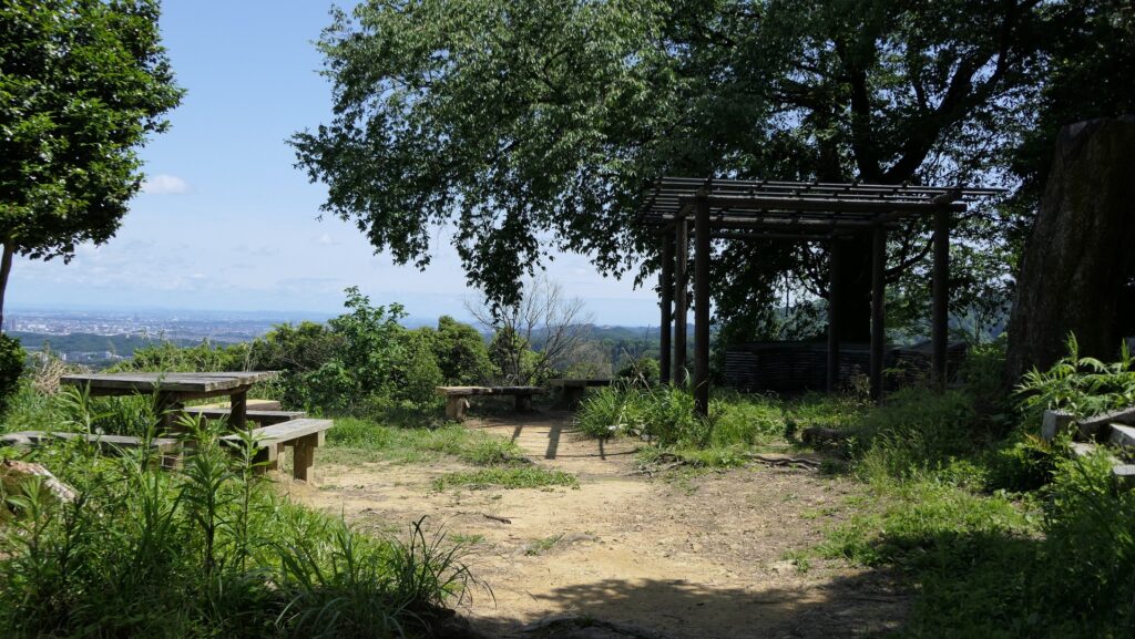
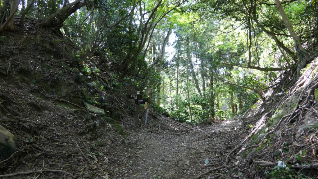
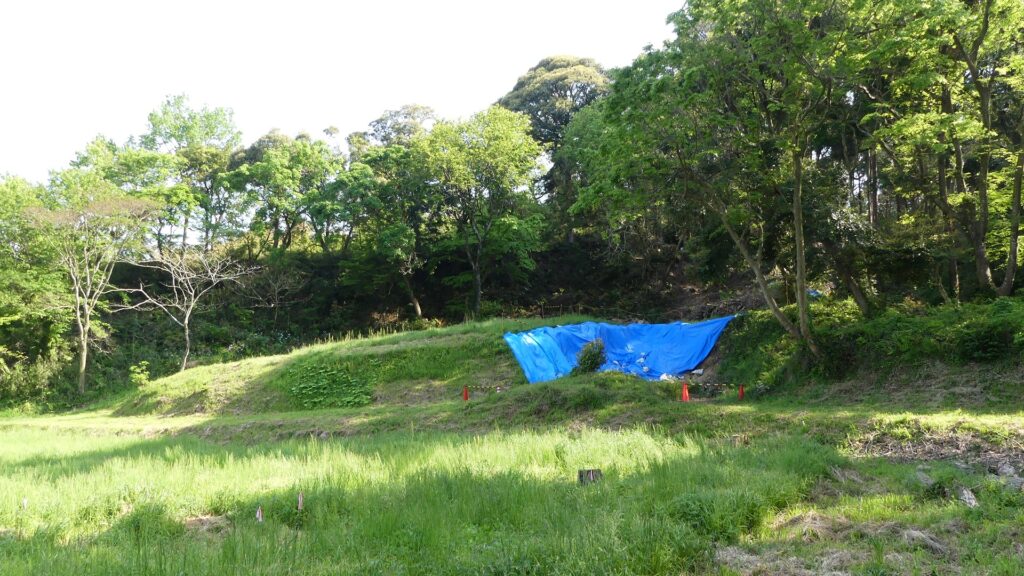
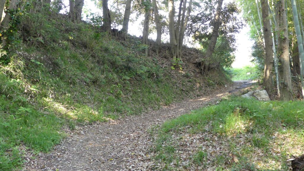
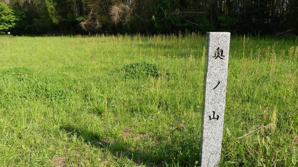
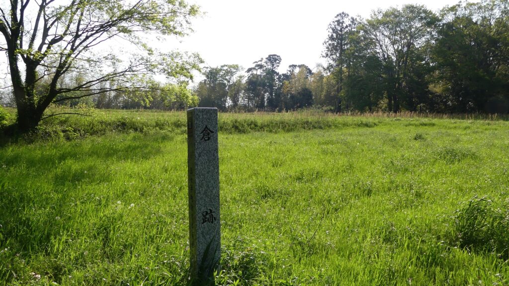
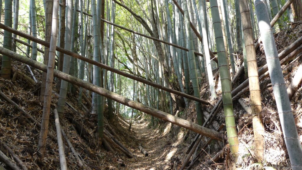
You can also look around the Okuno-yama and Kura-ato Enclosures. After that, I recommend seeing the dry moat around the Settei-yama Enclosure. If you go out to the south of the Inner Compounds, go to the west for a while, you will find the edge of the dry moat. The moat is at maximum 16m deep, now covered with a bamboo forest. You will finally go back to the first position at the northern part of the castle, so the mort may have been used as a road. You can also enter the Settai-yama Enclosure and see the other dry moat of the opposite side from there.
The Okuno-yama EnclosureThe Kura-ato EnclosureThe southern side of the Inner CompoundsThe dry moat around the Settei-yama EnclosureGoing back to the first positionthe inside of the Settei-yama Enclosure