Features
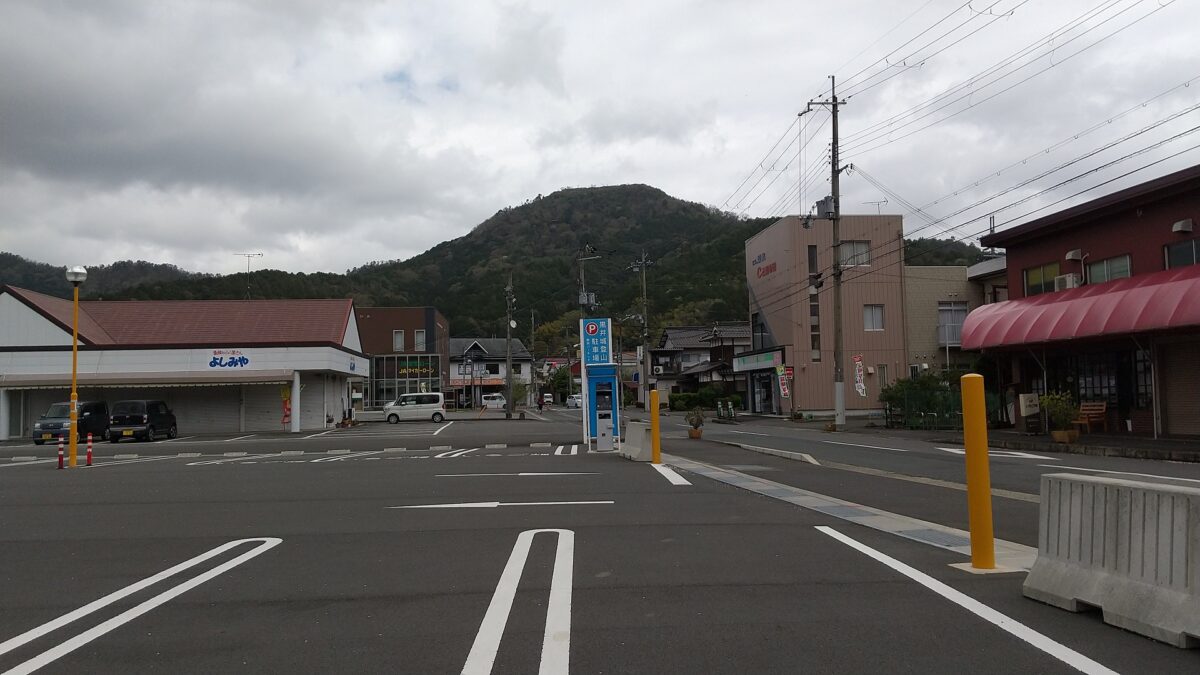
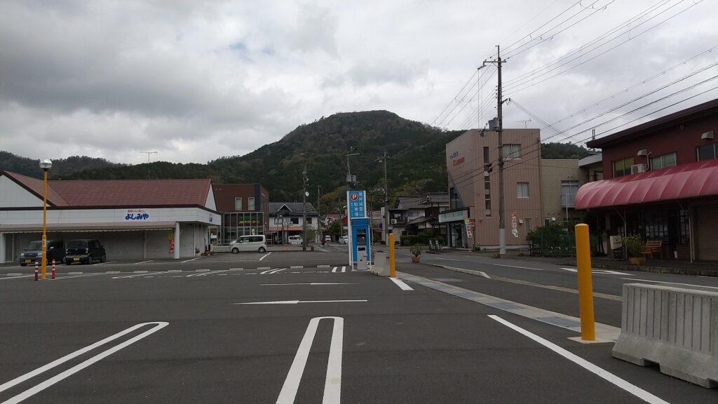
Castle Ruins seen from Town area
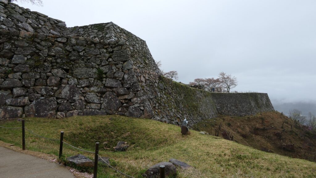
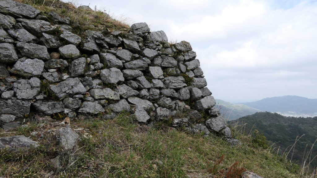
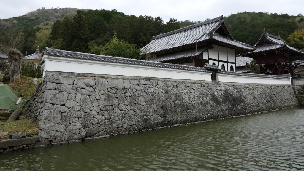
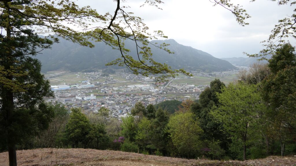
Today, the ruins of Kuroi Castle now belong to Kasuga Town in Tanba City, Hyogo Prefecture. The area around was called Kasukabe Manor in the past, so it is said the name of Lady Kasuga originated from the land’s name. The town recommends visiting both of the ruins and places related to the lady. A distant view of the ruins is so good that you can see great stone walls on the top and a red gate building on the middle slope, which indicate where you should go.
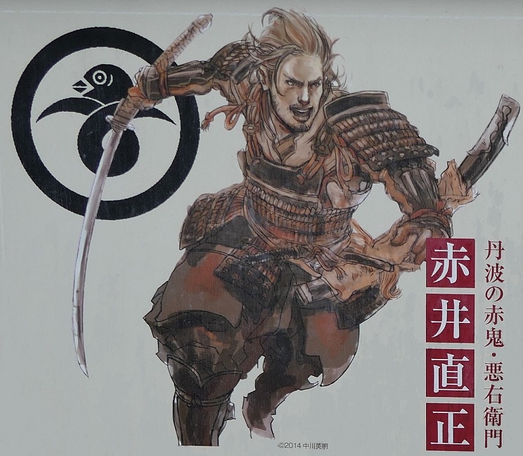
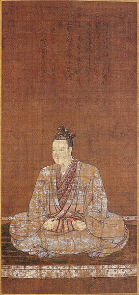
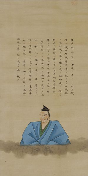
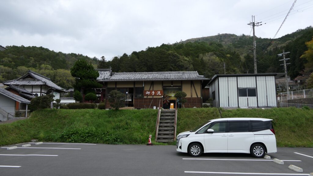
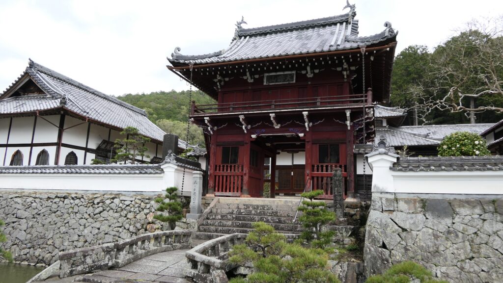
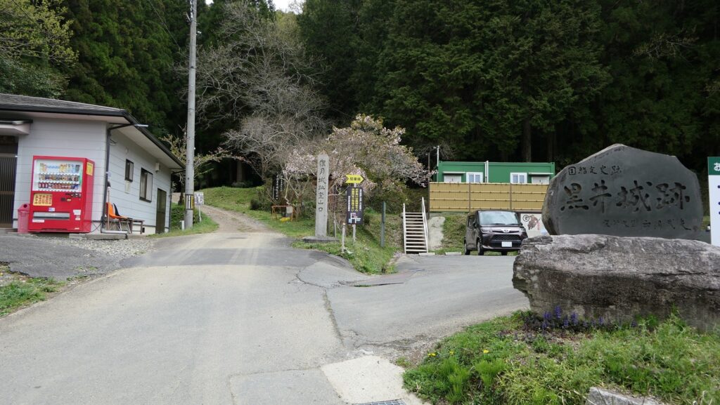
As you get close to the ruins, there will be the rest house with a parking lot for visitors and Kozenji Temple behind. You can get some information and pamphlets about Kuroi Castle there. The temple has stone walls and water moats in front of its entrance gate, which looks different from other common temples. In fact, it is said that it is the former residence for the lord of the castle at the foot area. It is also said that Lady Kasuga grew up there when she lived with his father, Toshimitsu Saito. This spot should be the starting point of visiting the castle ruins.
Two Routes to Top of Mountain
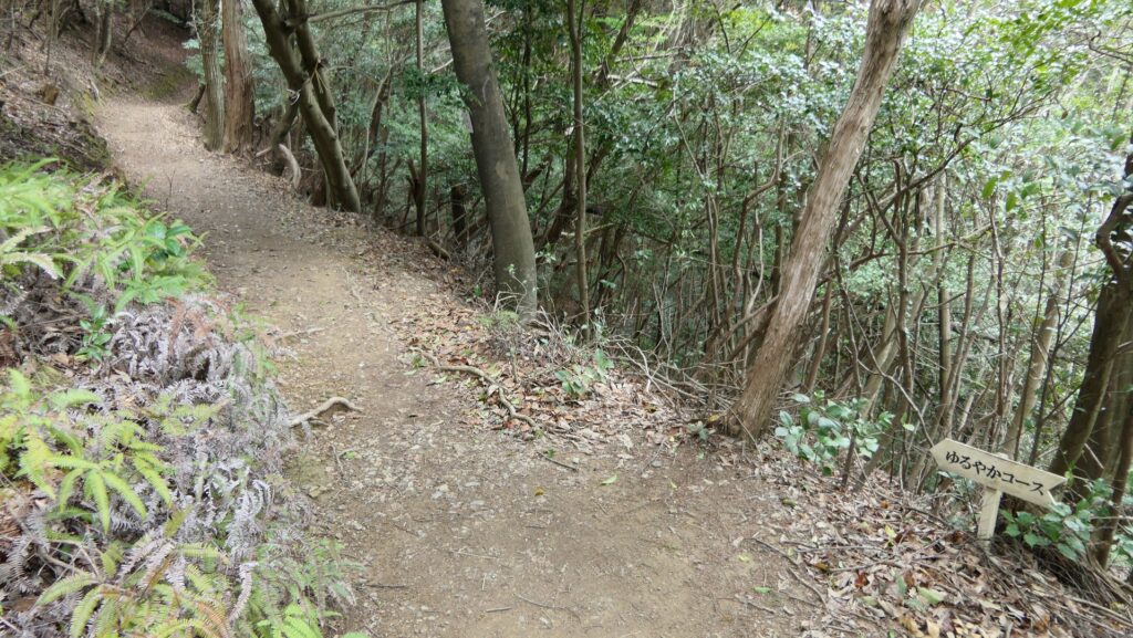
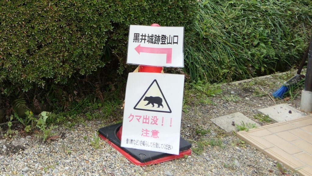
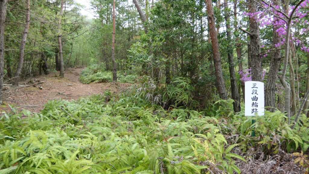
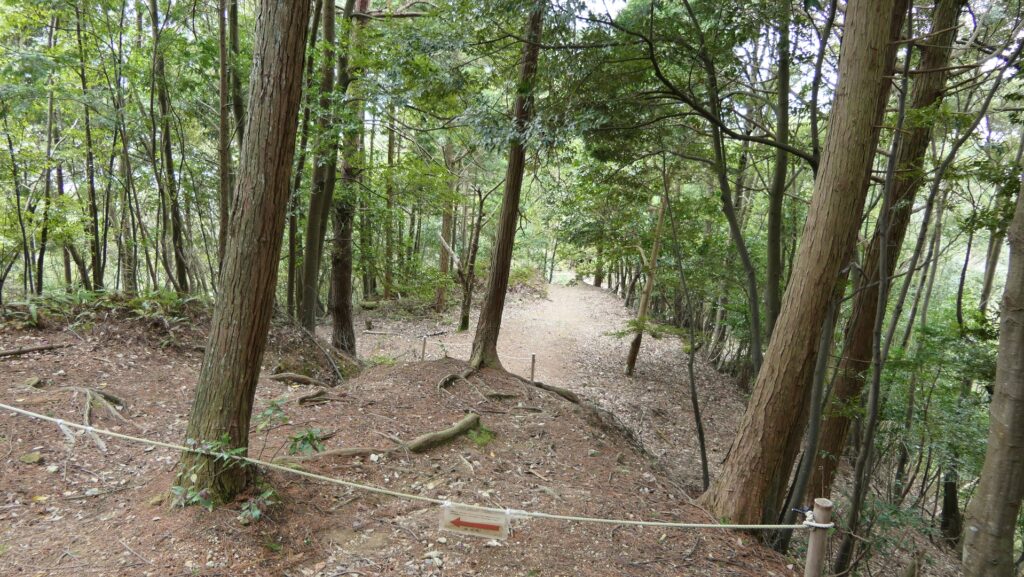
One of the pamphlets says there are two routes to the castle ruins on the top of the mountain; the Gentle Course and the Steep Slope Course. The former one goes around the western ridge which seems to be not one of the original routes to the top. While the latter is certainly the original one on the eastern ridge because the Three-tiered Enclosure is still on the route. Both routes eventually meet at the Sekito Tiers on the middle slope of the mountain, so it may be better to choose either one when you climb up and the other when you return. However, both routes cover very few forts of Kuroi Castle, therefore, it may also be better to try visiting other forts as you experience more.
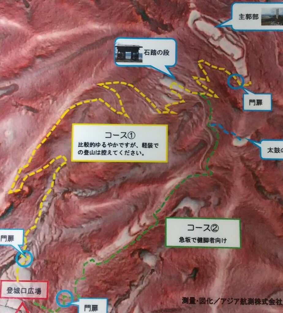
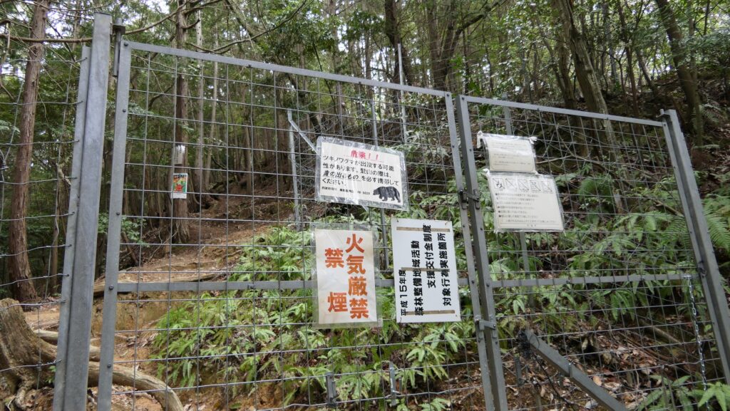
The warning board says “Beware of bears” and whichever you choose from the routes, you have to open and close two wire gates to contain animals between the gates. Therefore, it is recommended to have a bear-avoiding bell to prevent from provoking wild animals.
If you choose the Steep Slope Course, you will first climb the very steep stone steps of the Toyooka-Inari Shrine. Then, you will also climb a steep slope on the eastern ridge of the mountain, which may have been the Main Route to the castle. The Three-tiered Enclosure is still on the ridge, where you can see its foundations made of soil.
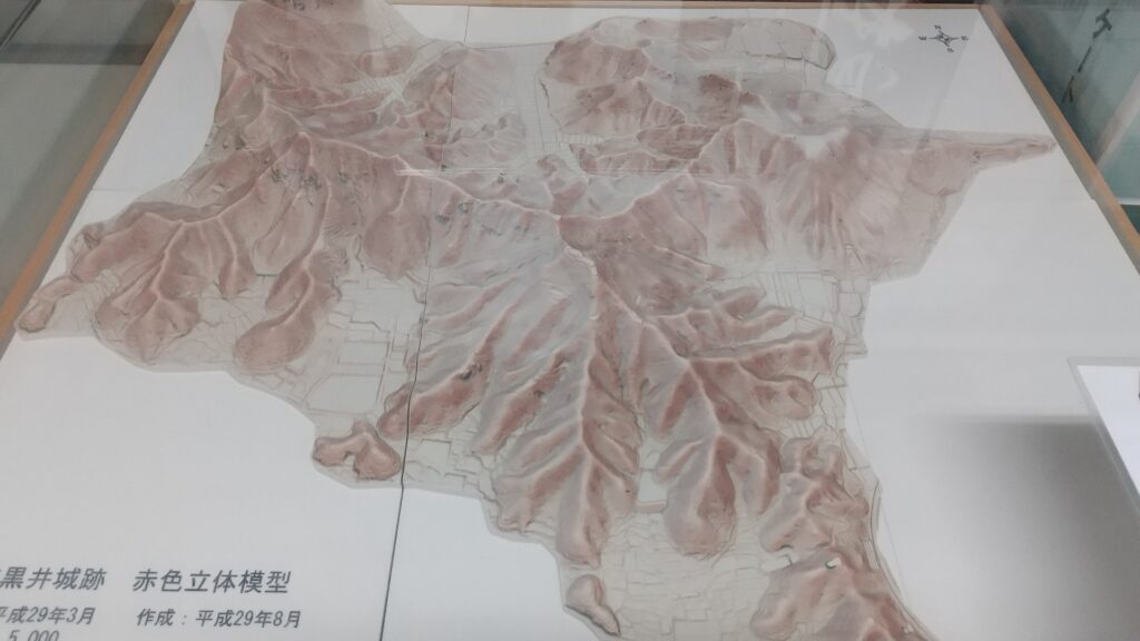
The map arond the castle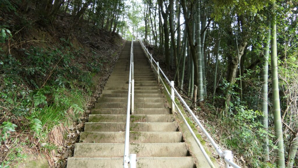
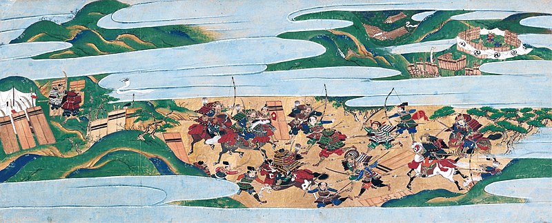
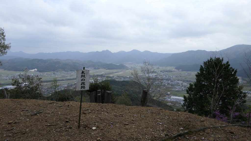
After you continue to climb, you can visit the Drum Tier off the route. It is an empty space but a good viewing point. It is said there was a drum turret and a lookout tower when the castle was active. The drum might have been used to inform time and instruct soldiers.
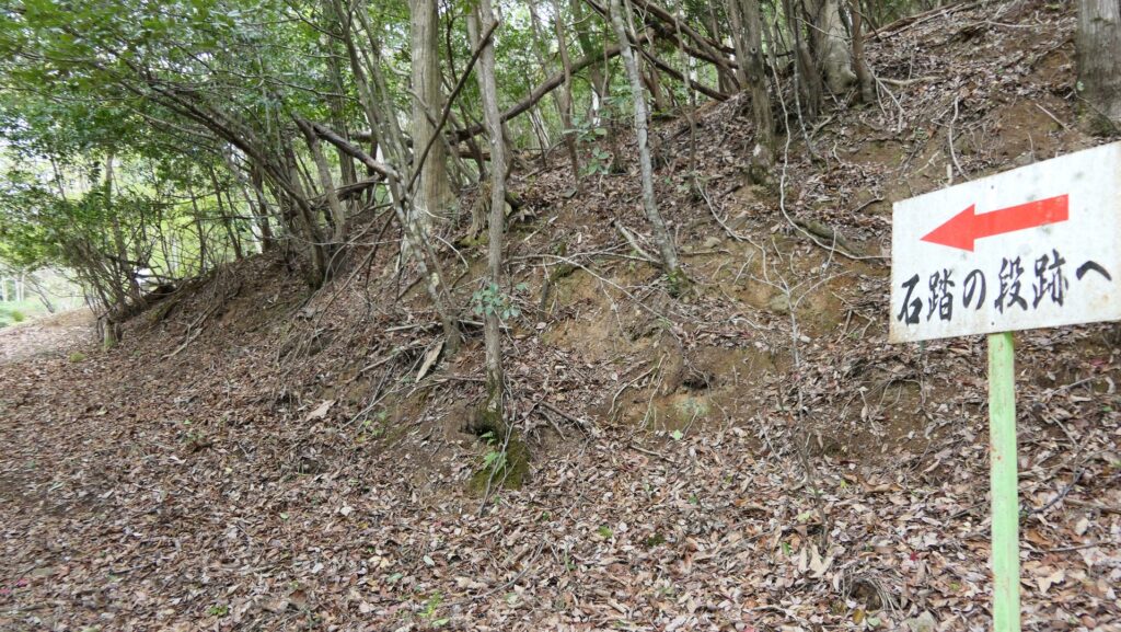
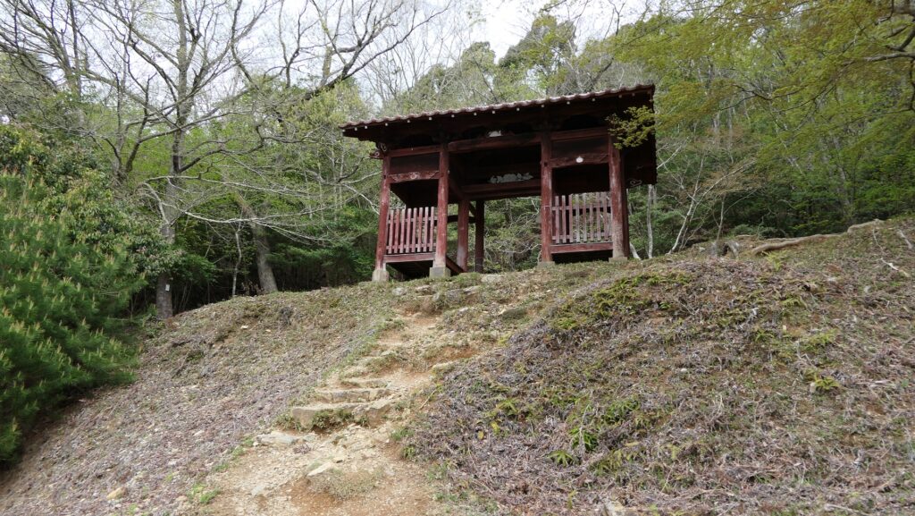
Sekito Tiers with Red Gate
You will eventually arrive at the Sekito Tiers below the top. Though it is uncertain what the name “Sekito” or “Stepping on Stones” in English came from, the rocky terrain around it might have been its origin. It is also a good viewing spot, but the view from it seems to be in a different direction from that of the Drum Tier. It is also spaceous for a mountain area and has a red-colored gate building which you can see from the foot as well. The building was not originally part of the castle, but was moved from the foot of the mountain by local people when a temple which had had the gate was abandoned. Several other buildings of the castle might have been built when the castle was being used.
To be continued in “Kuroi Castle Part3”
Back to “Kuroi Castle Part1”