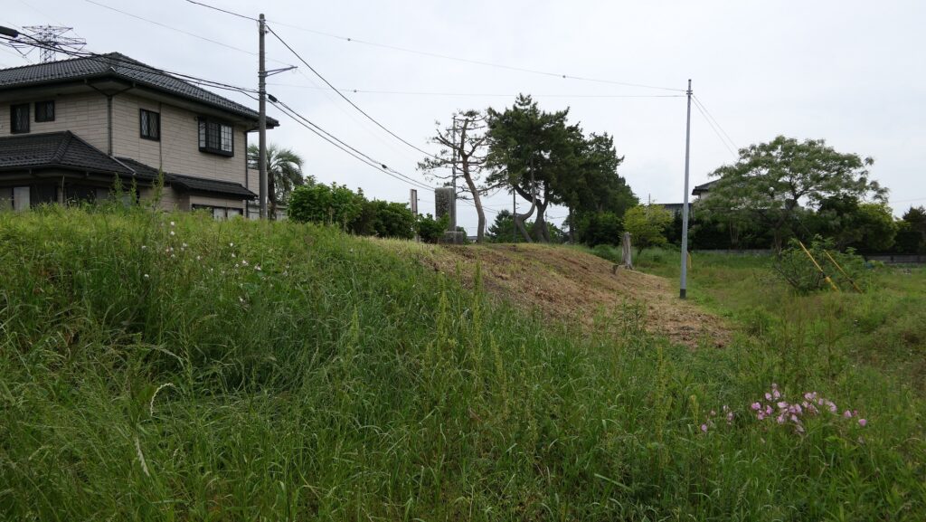
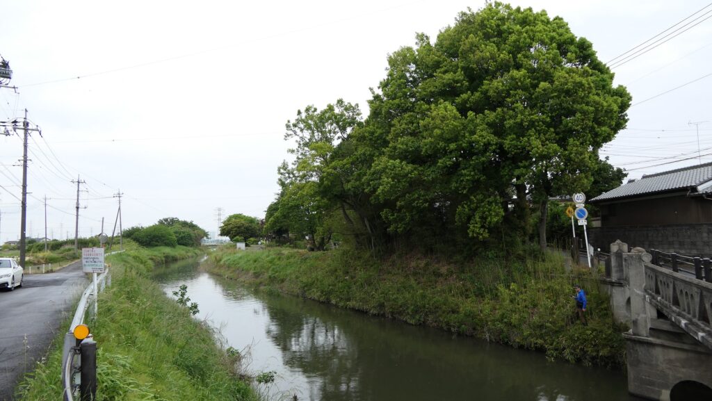
I recommend visiting some historical spots near the castle regarding the Battle of Oshi Castle. One of them is Ishida Bank Ruins, about 4km away from Oshi Castle Ruins in the southeastern direction. The bank is the nearly 300m remaining one out of the 28km banks Mitsunari Ishida originally built when the battle happened.
The map around the Ishida Bank
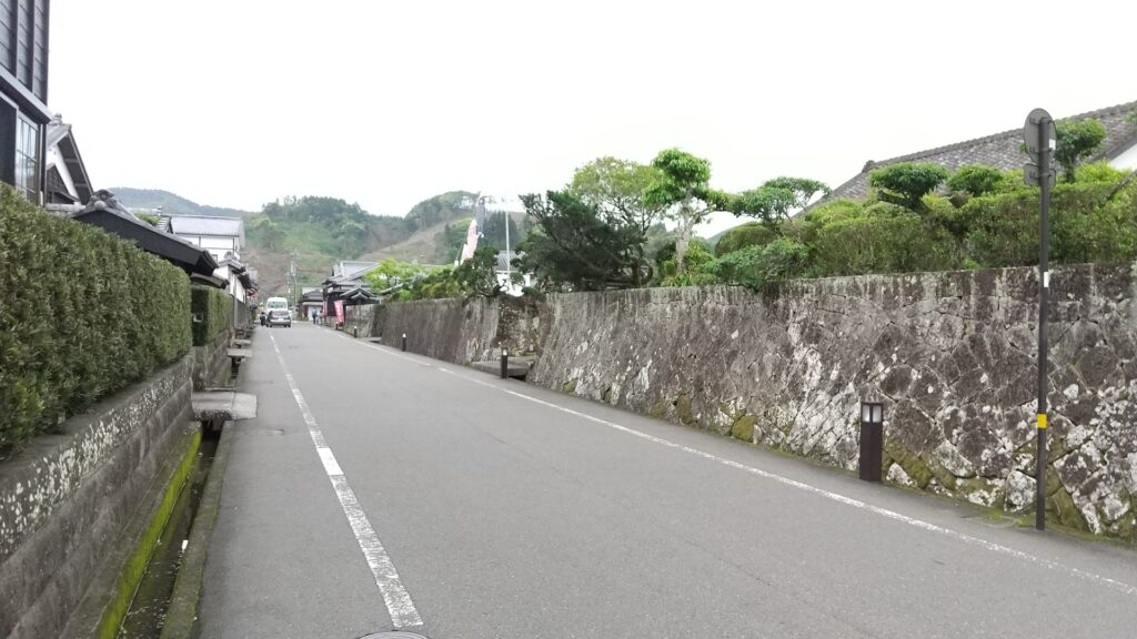
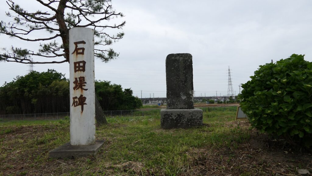
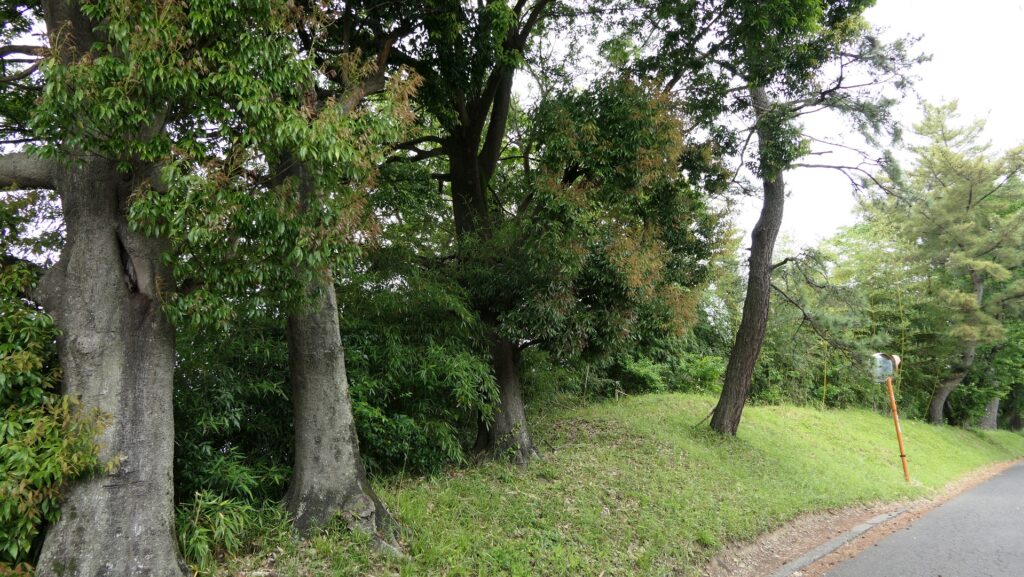
The Ishida Bank RuinsThe monument of the bank, built at the end of the Edo Period
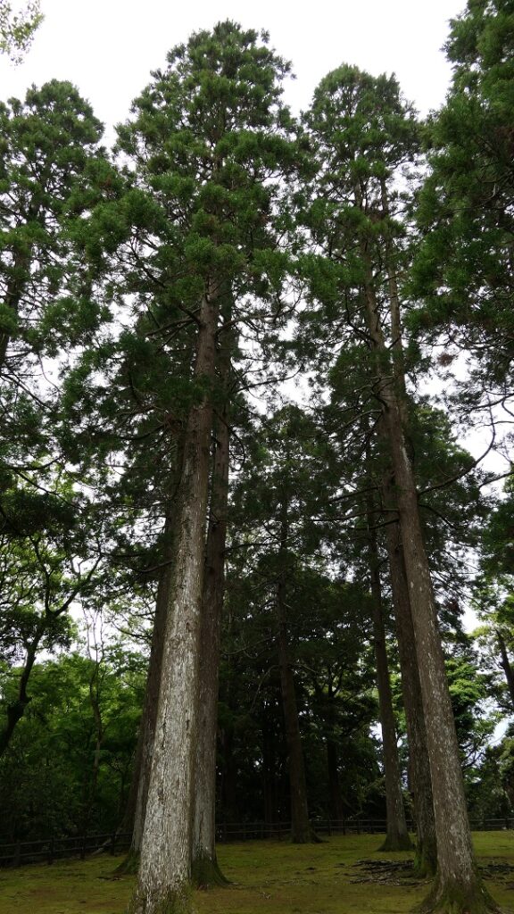
It goes along a river in the north and a road in the south, with some pine trees planted on it, which show it is an old road. The road was actually a byway of Nikko Road during the Edo Period and is said to have been on the major Nanasendo Road before the period.
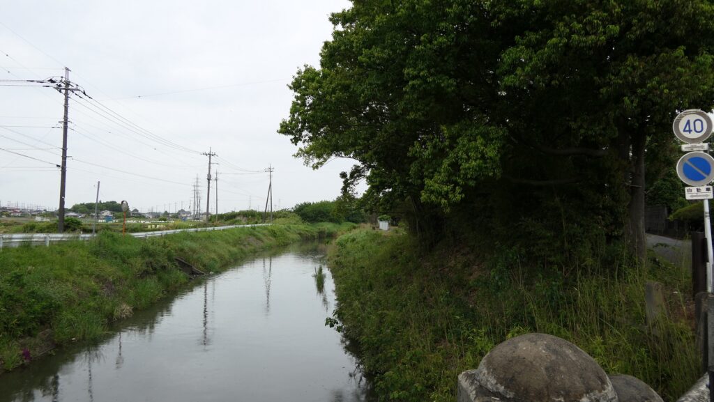
The river in the northThe pine trees planted on the bank and the road in the south
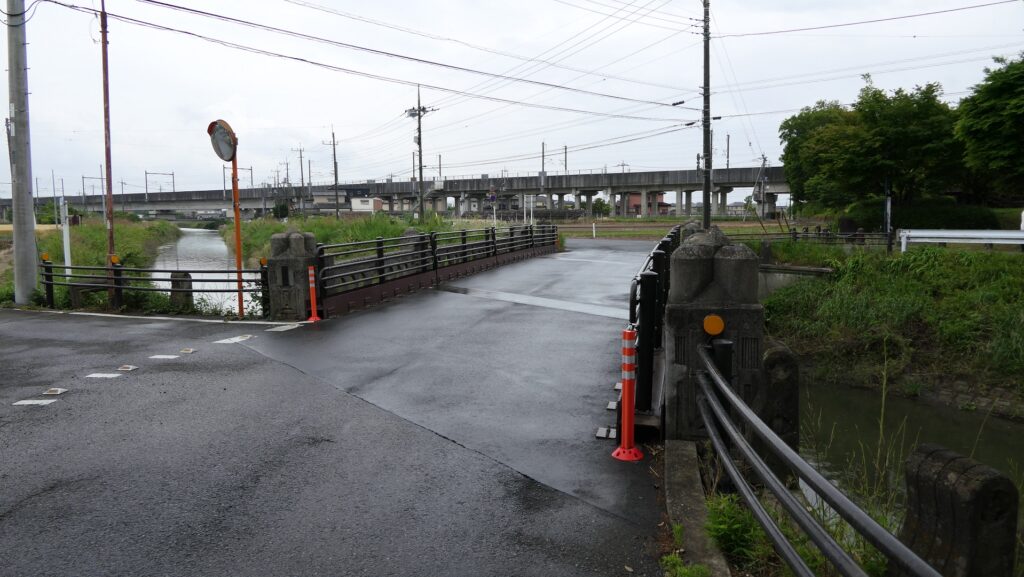
The Horikiri-bashi Bridge over the river at the edge of the remaining bank is also said to be the place where the defenders of Oshi Castle cut and drained the water inside the bank against Mitsunari.
The Horikiri-bashi Bridge
Sakitama Ancient Burial Mounds
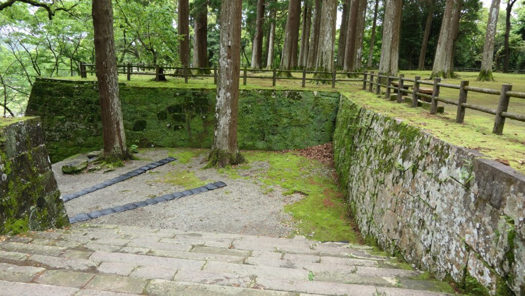
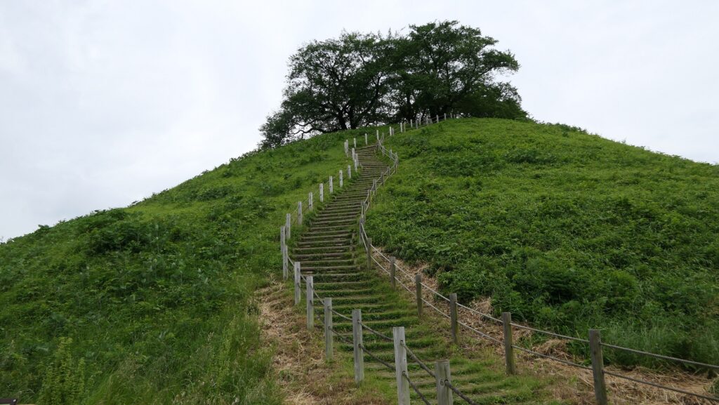
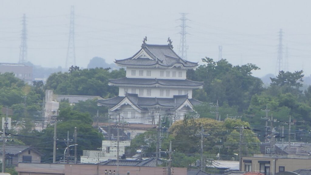
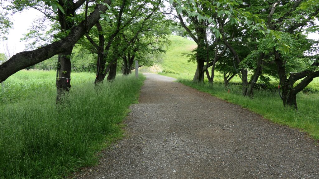
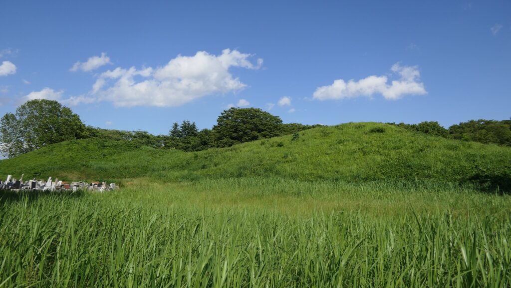
Another recommendation is to visit the Sakitama Ancient Burial Mounds which were built between the 5th and 7th Centuries, much earlier than Oshi Castle, but some of them are related to it. Maruhakayama-Kofun or the Round Burial Mountain was one of them and the largest round burial mound in Japan, which is 17m high and its diameter is 105m. When the Battle of Oshi Castle happened, Mitsunari put his stronghold on the mound and instructed the bank construction. You can see the top of the rebuilt three-level turret of Oshi Castle from the top of the mound, where could have been a good place for Mitsunari to see the situation of the inundation tactics. The approach to the mound is also said to have been another Ishida Bank Ruins.
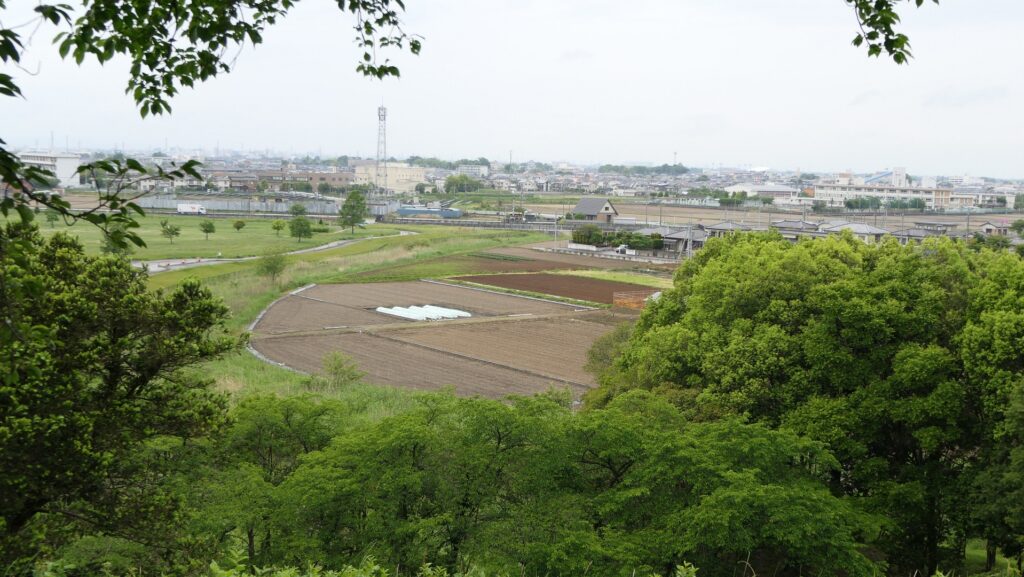
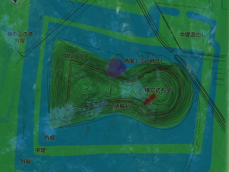
The aerial photo around the Sakitama Ancient Burial Mounds
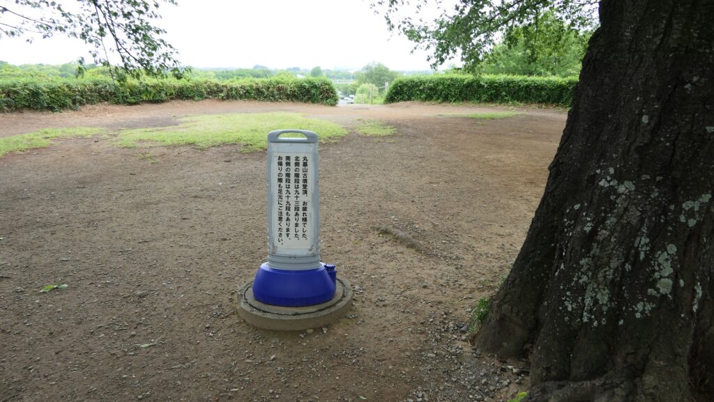
The Maruhakayama Ancient Burial MoundThe top area of the ancient burial moundA view from the top of the direction of Oshi CastleA view of the three-level turret, being zoomed in The approach to the mound
In addition, Teppoyama-Kofun or the Gun Burial Mountain was involved in the history of the Oshi Domain at the end of the Edo Period. They cut one side of the mound to train their gunnery skill to prepare for their responsibility for protecting Shinagawa Batteries on Edo Bay.
The Teppoyama Ancient Burial MoundThe ground plan of the ancient burial mound, from the signboard at the site, the dark blue part was the training area
Later History
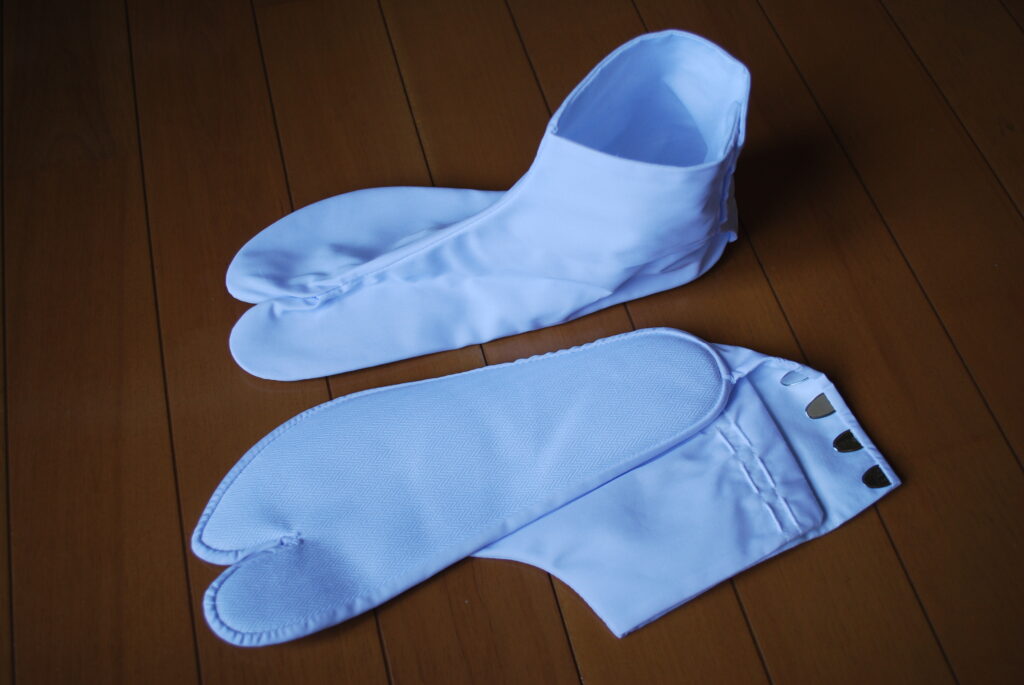
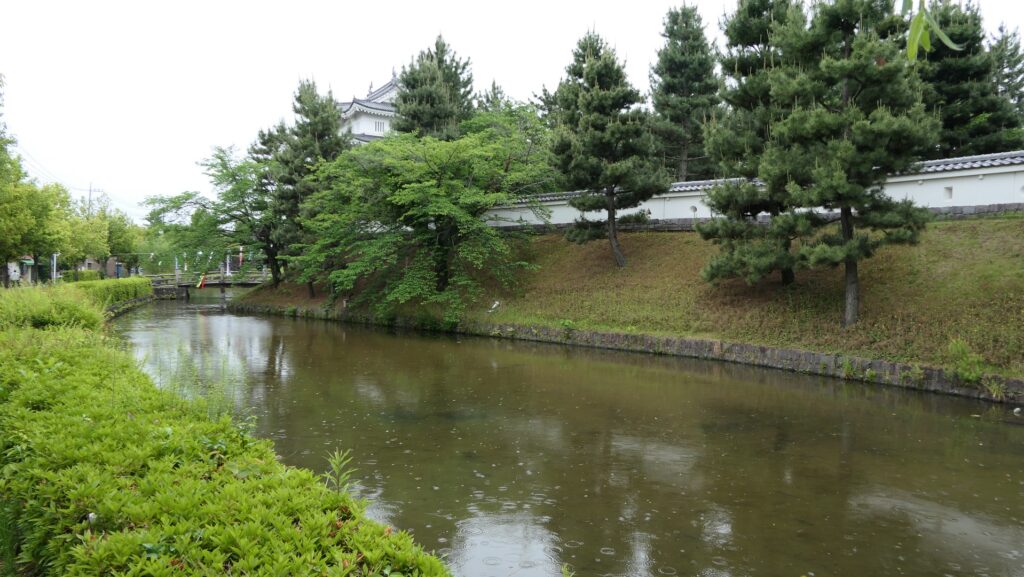
After the Meiji Restoration, Oshi Castle was abandoned and its water area was turned into a modern park with office buildings but being filled in. It could be needed for modernizing the city. The city was called Gyoda, named after the district which manufactured Japanese socks, Tabi and prospered.
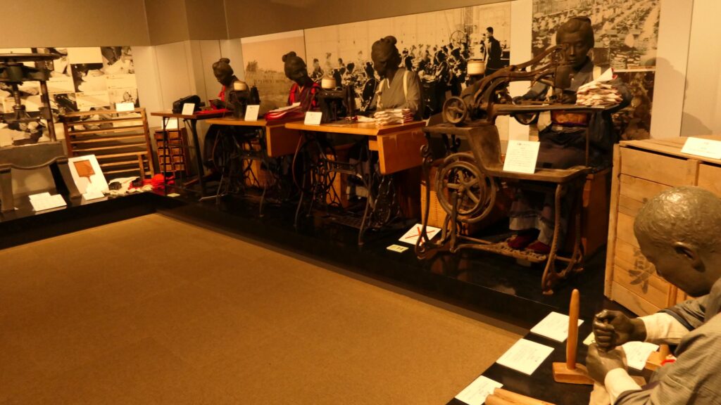
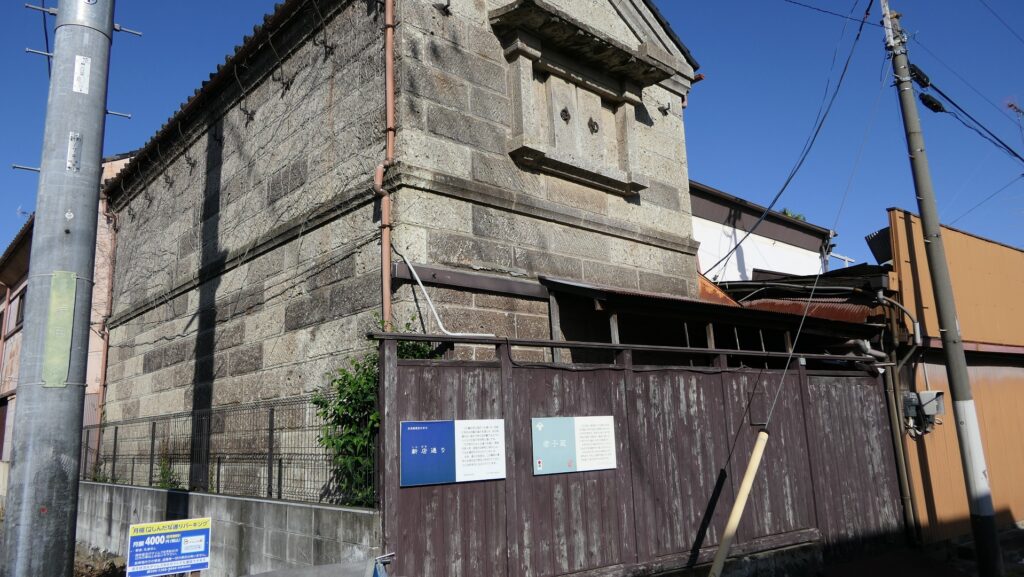
An example of the Gyoda Tabi socks (licensed by katorisi via Wikimedia Commons)The reproduced manufacturing site of Tabi, exhibited by the Gyoda City Local MuseumOne of the remaining Tabi warehouses in the city
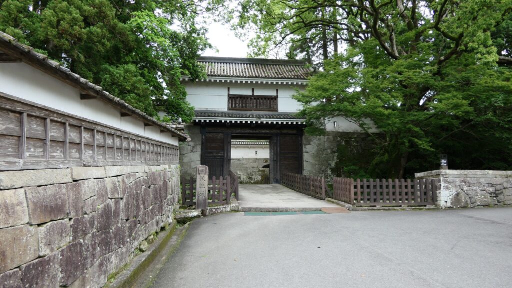
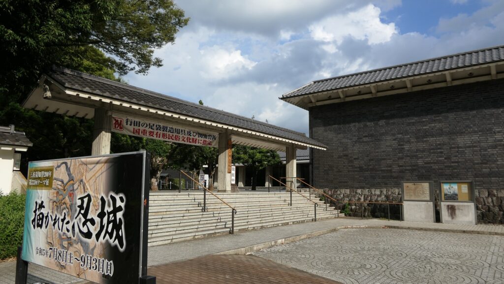
The park once had a baseball stadium, officials replaced it with Gyoda City Local Museum whose building looks like The Three-Level Turret the castle had. Some other buildings like a bell-tower, gates and walls were also restored around it, making them the city’s attractions.
The aerial photo around the Main Enclosure in the 1970’s
The current Main EnclosureThe entrance of Gyoda City Local Museum
My Impression
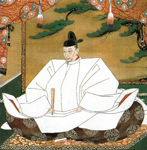
The result of the Battle of Oshi Castle has been said to be the only failure of Hideyoshi Toyotomi during the invasion to the Kanto Region to complete his unification of Japan in 1590, which was blamed to Mitsunari Ishida who was a foolish general. However, I think the reputation comes from being wise after the event that Mitsunari was defeated by Ieyasu Tokugawa in the Battle of Sekigahara in 1600. It is not fair. Mitsunari was the faithful executor of Hideyoshi’s order in the battle, being successful in surrounding the castle. If the defenders were not instructed by Nagachika Narita, but a magistrate from the Hojo Clan, they might have soon surrendered to Mitsunari. I think the Battle of Oshi Castle was an excellent match where Nagachika and Mitsunari took on each other.
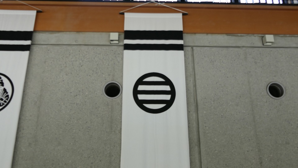
The family crest of the Narita Clan, called Maru-ni-mitsuhiki or Three horizonal lines inside a Circle, exhibited by the Gyoda City Local MuseumThe Ishida Bank Ruins seen from the Horikiri-bashi Bridge
How to get There
If you want to go there by car, it is about 30 minutes from Kazo IC or Hanyu IC on the Tohoku Expressway. there are a few parking lots around the castle ruins. It may be better to use a car if you also want to visit Ishida Bank Ruins or the Sakitama Ancient Burial Mounds as well.
By public transportation, it takes about 15 minutes on foot from Gyodashi Station on Tobu line to get to the castle ruins.
From Tokyo to Gyodashi Station: Take the Joetsu Shinkansen super express and transfer to Tobu line at Kumagaya Station.
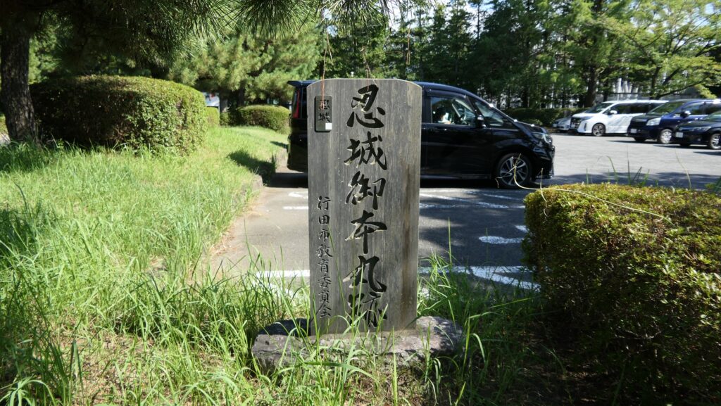
The parking lot of Gyoda City Local Museum with the monument of the Main Enclosure