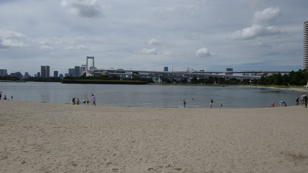
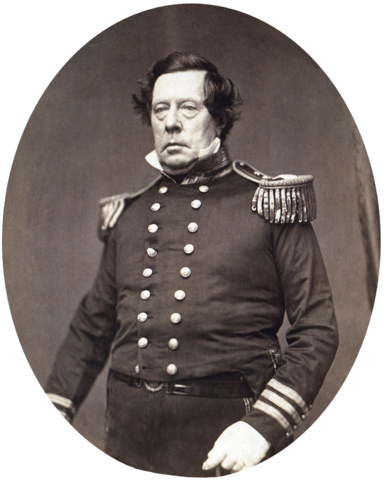
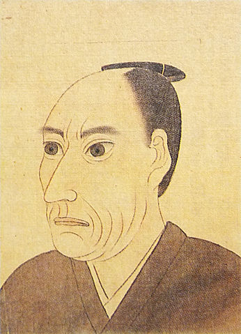
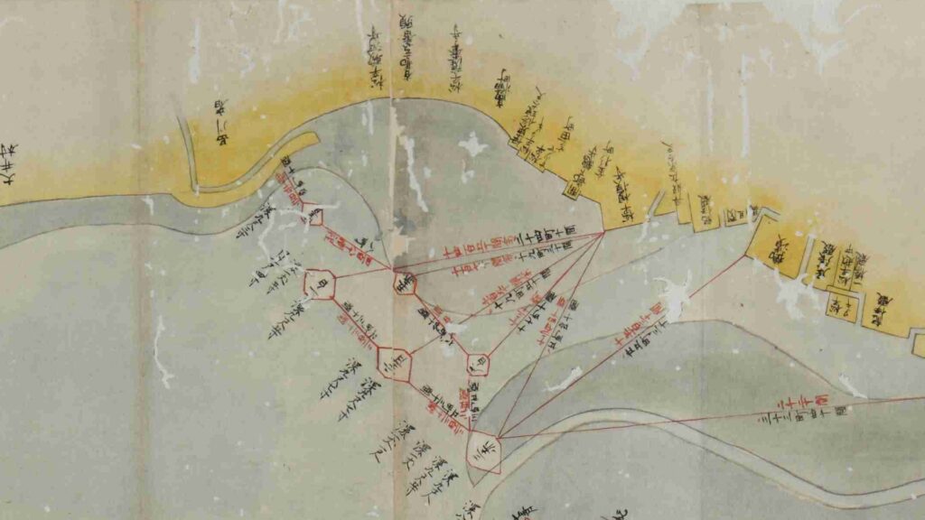
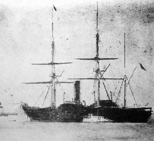
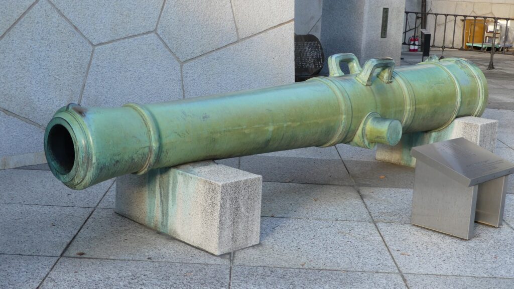
江川英龍自画像 (licensed under Public Domain via Wikimedia Commons)「品川台場絵図」に描かれた品川台場による防衛ライン、出典:東京都立図書館1853年のペリー艦隊の旗艦、サスケハナ号 (licensed under Public Domain via Wikimedia Commons)
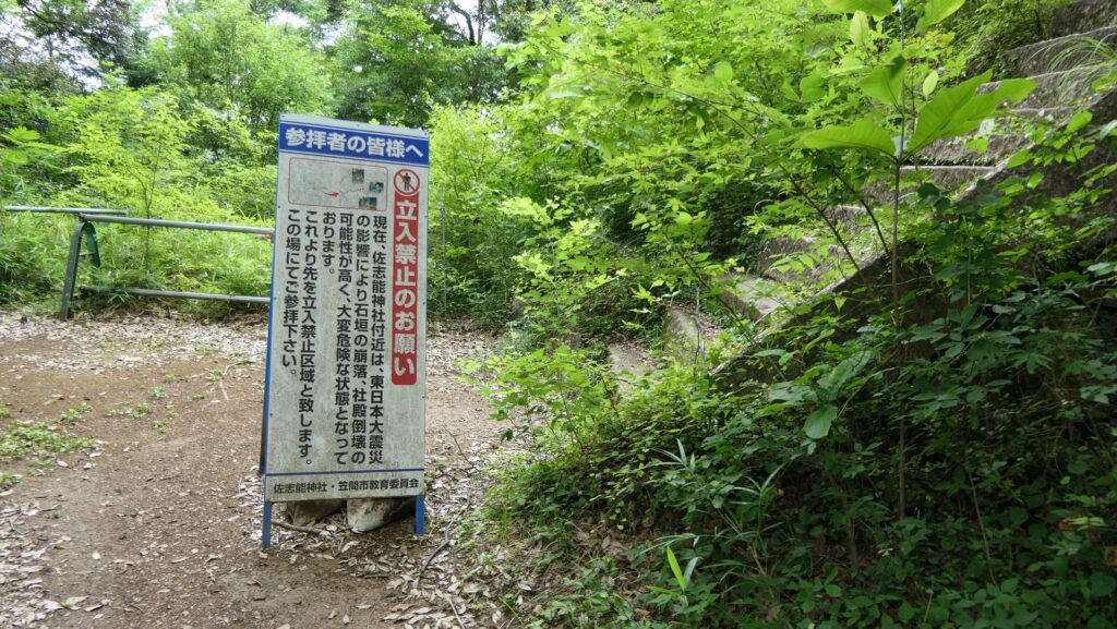
Due to the damage from the Great East Japan Earthquake back in 2011, it is prohibited to enter the top of the ruins as of November 2023. The city is considering how to repair it to open it to the public again.
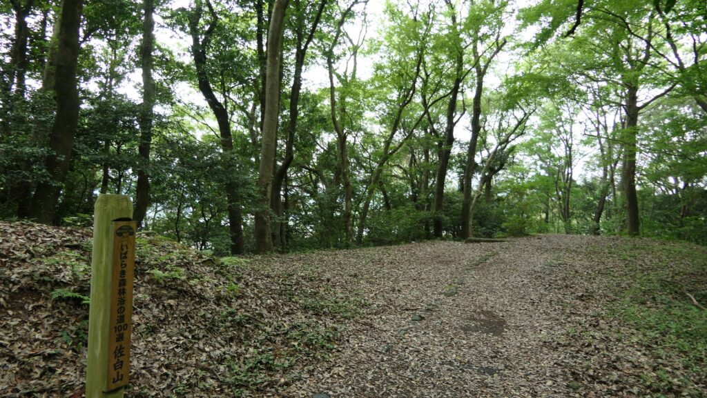
Features
Main and Main Tower Enclosures as Center of Castle
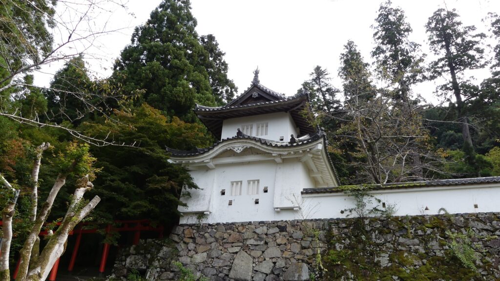
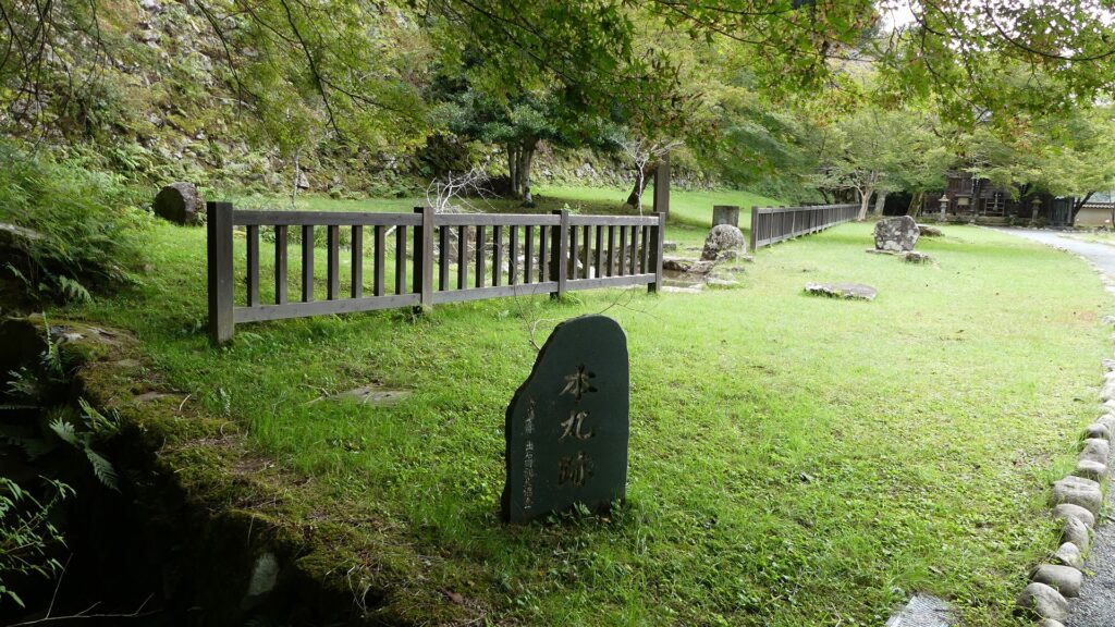
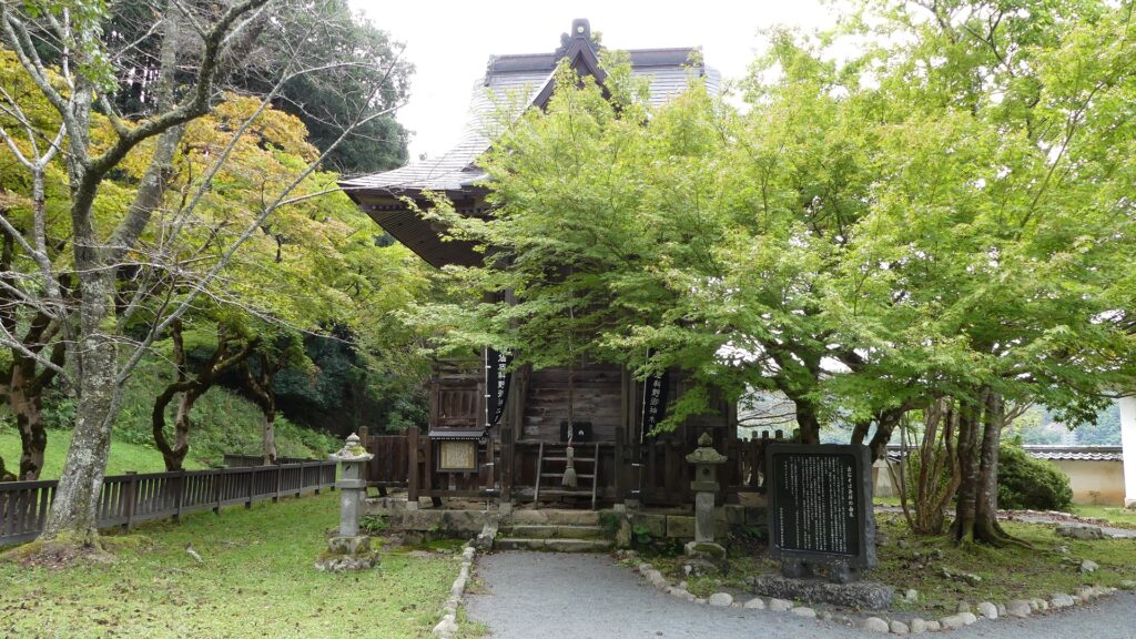
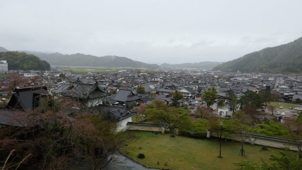
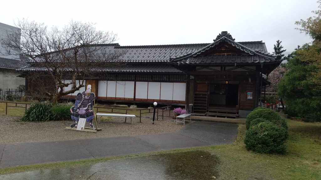
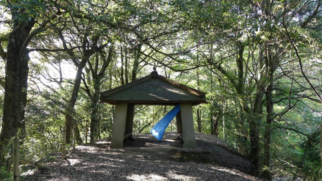
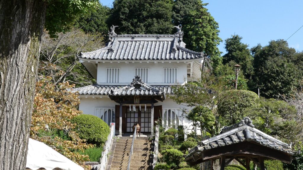
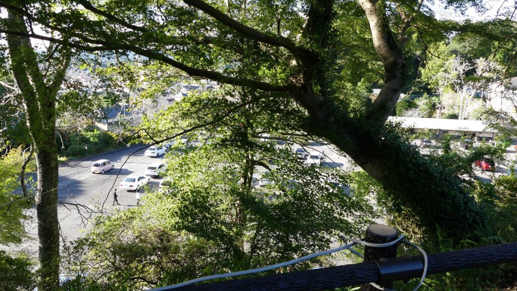
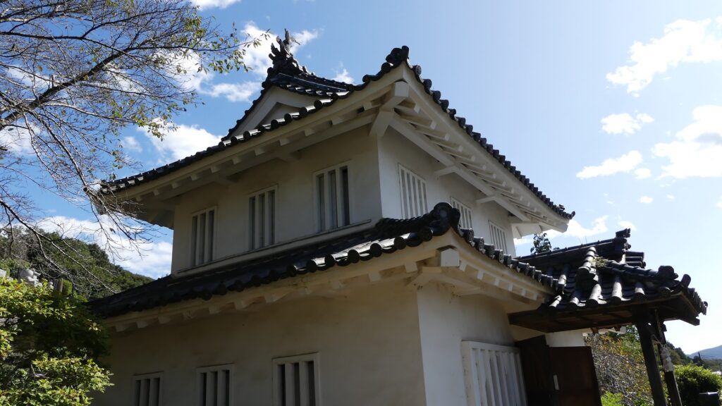
The Main Enclosure is an empty space now, where the Main Hall was built in the past. Instead, long and high earthen walls at the southwestern side stands out, which are called Hachiman-dai(base). There was Hachiman-dai Turret on it as a lookout tower or a warehouse. The turret was moved to Shinjoji Temple at the foot after the castle was abandoned, which is consider the only remaining building of the castle. The view from the base or the enclosure is not so good because of the trees surrounding, but you can see the mountains or hills around.
The map of the main portion of the castle
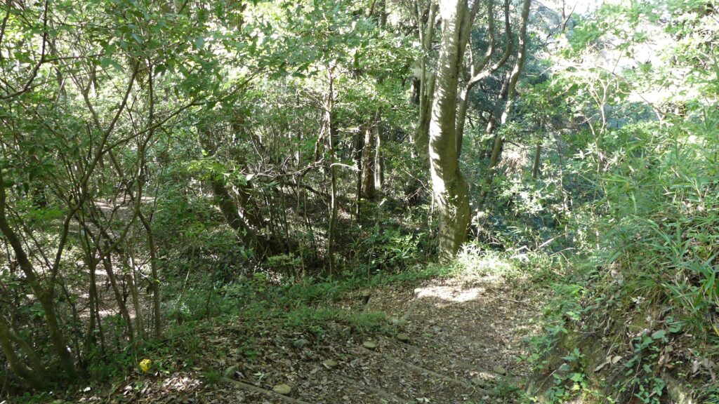
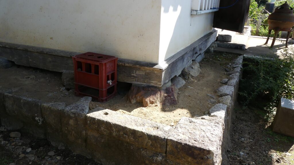
The inside of the Main EnclosureThe Hachiman-dai BaseThe top of the baseThe ruins of the Hachiman-dai TurretThe turret was moved from the original position to the temple
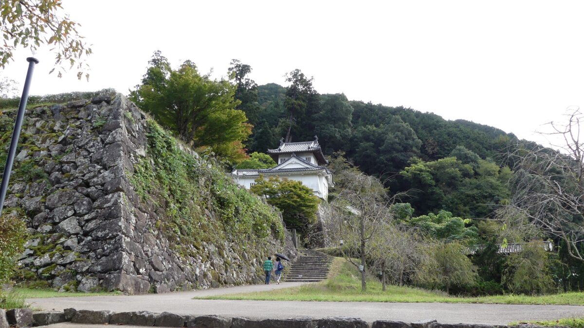
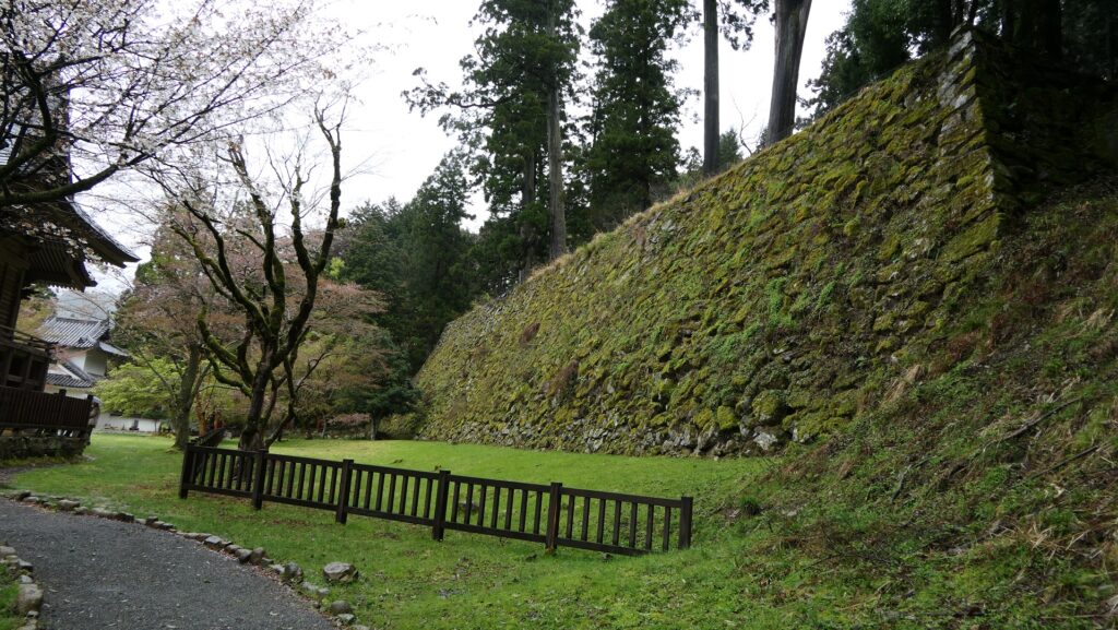
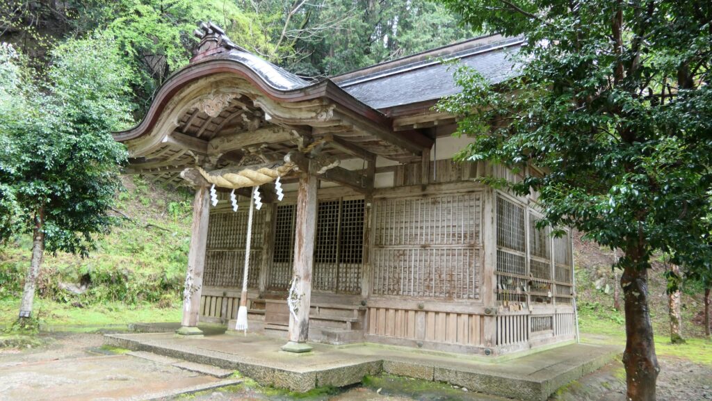
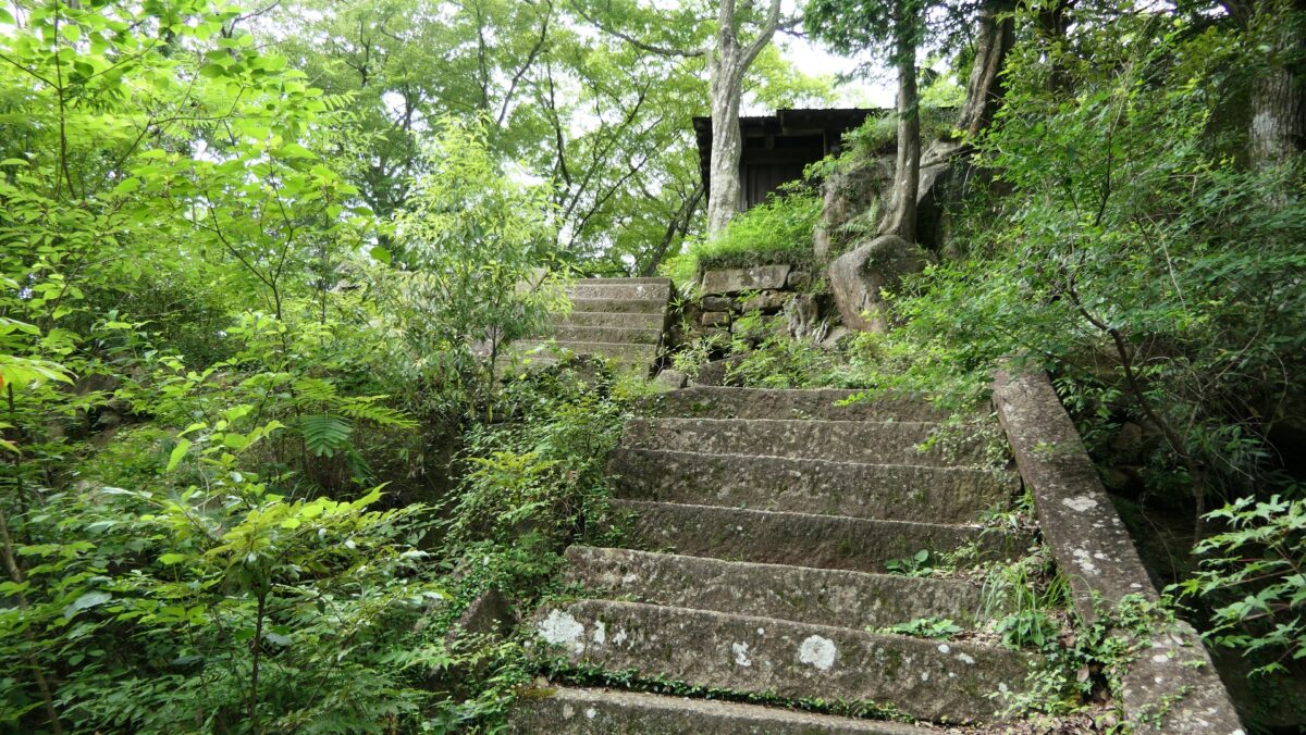
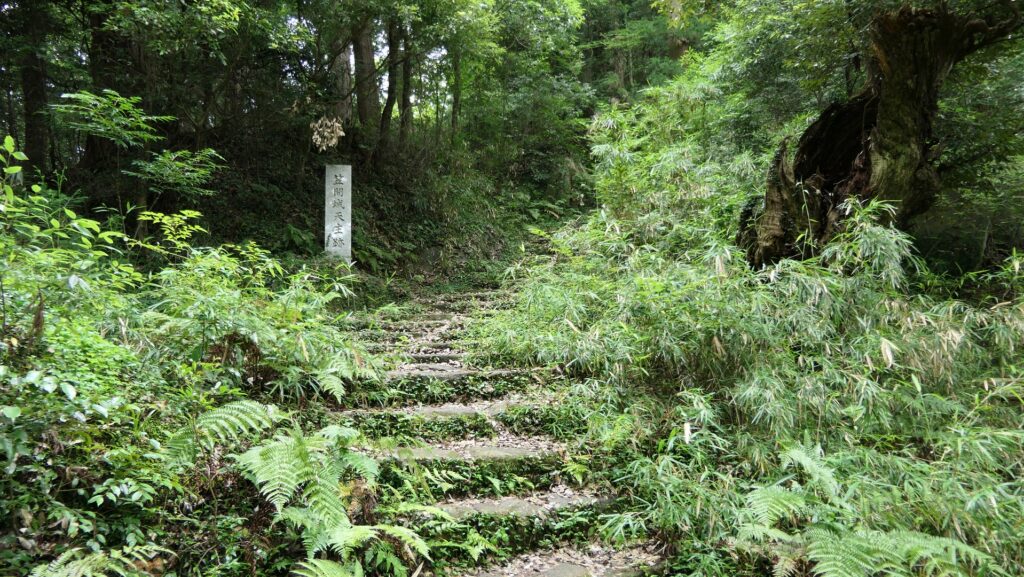
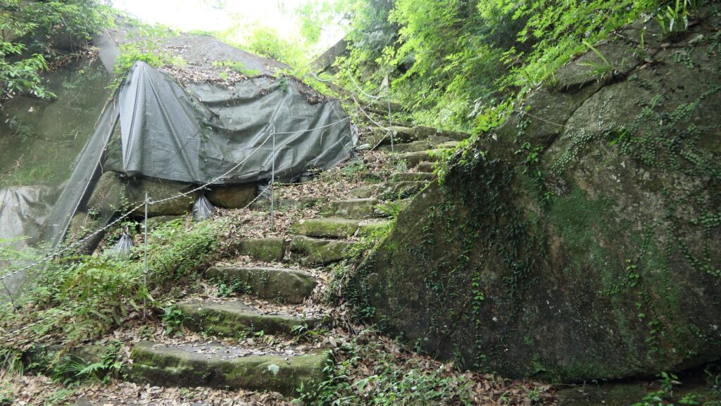
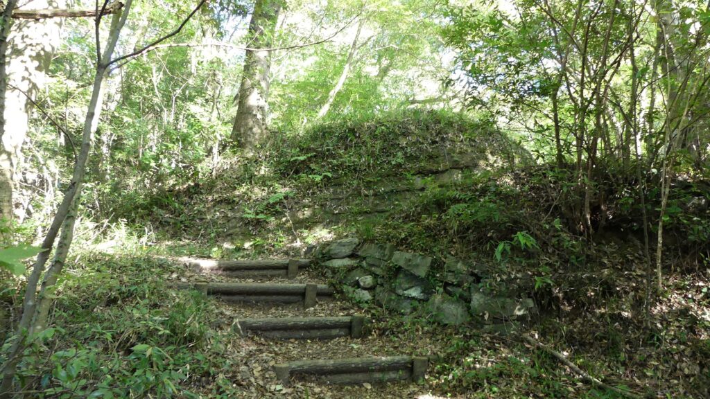
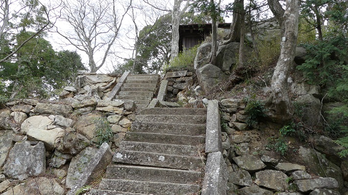
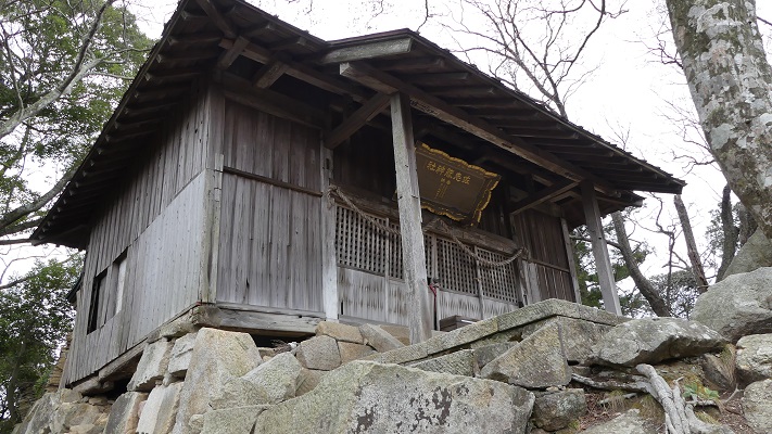
The final place of the castle is the Main Tower Enclosure on the top over the edge of the earthen wall base to the northeast. You can go on the narrow earthen bridge over the ditch in front of the enclosure and reach the foot of the three-tier stone walls of it. The original Main Tower, which had been built on it, was replaced with the Sashino Shrine building during the Meiji Era. It was said that the waste materials of the tower were used for the construction of the shrine. The stone walls seem to partially use large natural rocks, which look rough and wild. However, visitors are unfortunately not allowed to climb the walls to see the top because the walls might collapse as of November 2023. You can only see a glimpse of the shrine building on the stone walls from the foot.
The earthen bridge in front of the Main Tower EnclosureGoing to the enclosureThe stone walls of the enclosure partially collapsedYou can not enter from hereThe glimpse of the shrine building
Returning to Foot by taking another route
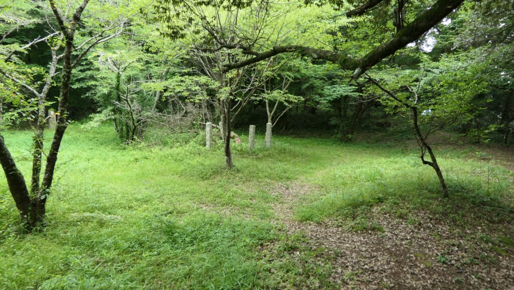
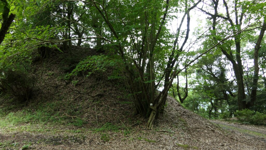
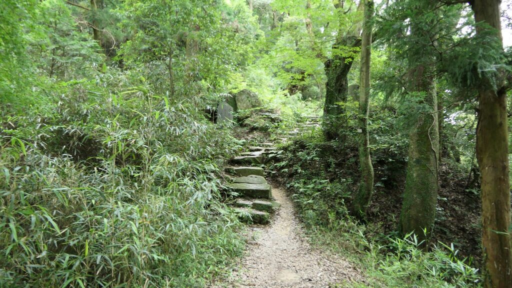
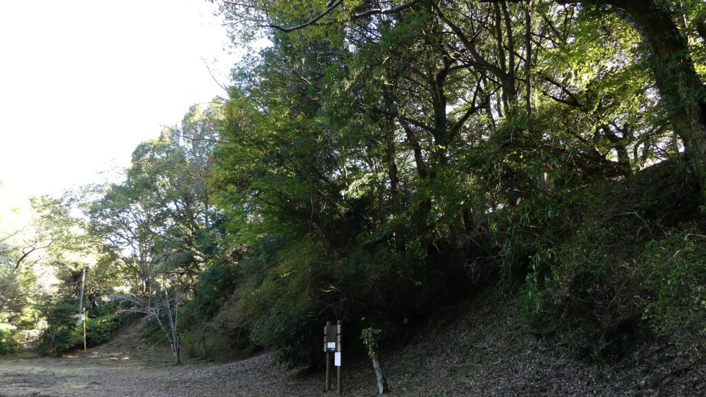
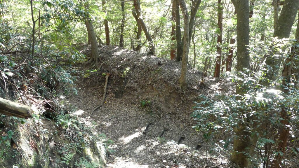
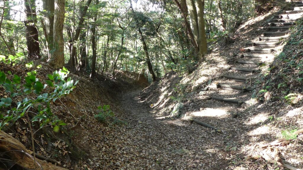
You can return to the parking lot at the foot of the mountain going the same way as you took, but there is another route you can try as well but it’s challenging. You can take a trail on the ridge over the earthen wall base opposite the Main Tower Enclosure. The ridge was a defensive point of the castle, where another turret, called Anagasaki Yagura, was built. If you climb down on the trail for a while, the return route goes the bottom of a deep dry moat. This is part of the outer dry moat surrounding the whole castle area, which Satonari Gamo built. You can feel how large it was by walking through it.
The map around the castle
The Hachiman-dai BaseThe ruins of the Anagasaki TurretClimbing down other entrance ruinsLooking back at the ruinsHere comes the outer dry moatsThe trail meets the dry moatsThe inside of the dry moats
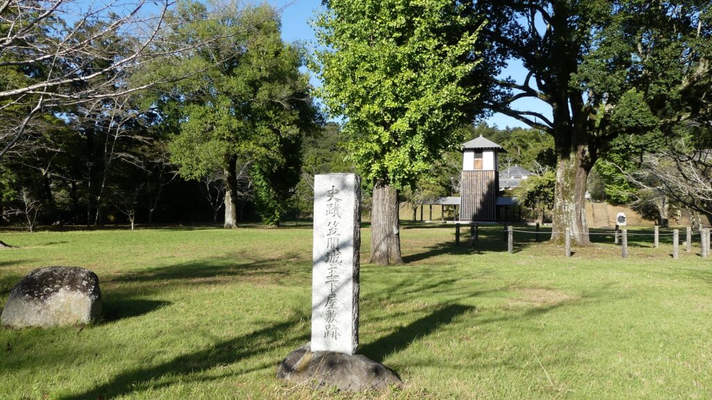
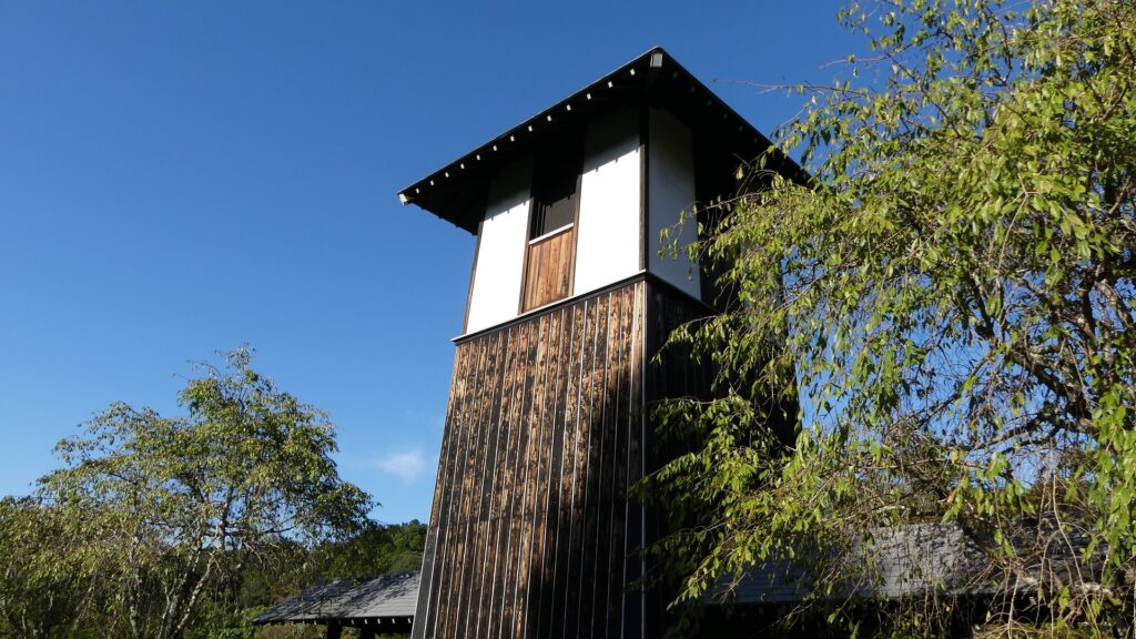
You will finally arrive at the ruins of the suburban residences at the foot, which Naganao Asano built. They have become the Sashiro Sanroku(foot of the mountain) Park which has the Bell Tower including an old bell made at the end of the Edo Period. The parking lot as is your starting point just below the park.
The ruins of the suburban residences (Sashiro Sanroku Park)The Bell TowerYou can see the parking lot at the foot below
Later History
After the Meiji Restoration, Kasama Castle was abandoned and all the castle buildings were demolished or moved like the Hachiman-dai Turret. The mountain area became part of Kasama Prefectural Natural Park and the foot area became the Sashiro Sanroku Park. Kasama City has been researching the castle ruins since 2013 to preserve and to be designated as a national or other historical site in the near future. However, due to the damage from the Great East Japan Earthquake back in 2011, it is prohibited to enter the top of the ruins. The city is also considering how to repair it to open it to the public again.
The current Hachiman-dai TurretIt looks like just being placed on the newer base
My Impression
There are many attractions of Kasama Castle and the city. In my cases, once I visited and learned about the castle, I wanted to go there again to try seeing what I had missed or other ways to visit. When I first visited the ruins, I got to the great stone walls on top but they partially collapsed. In my recent visit, they were finally covered with sheets and kept out for visitors. I was very sorry about it and hope it will be repaired to open to the public soon.
The Main Tower Enclosure as of 2019The Sashino Shrine building on the enclosure as of 2019
How to get There
If you want to visit the castle ruins by car, it is about a 20-minute drive away from Tomobe IC on the Kitakanto Expressway. There are parking lots at foot and the mid slope of the mountain as mentioned above. By public transportation, you can take the sightseeing tour bus from JR Tomobe Station and get off at the Nichido-bijutsukan bus stop near the park. From Tokyo to Tomobe Station: take the Tokiwa limited express from Tokyo or Ueno Stations.