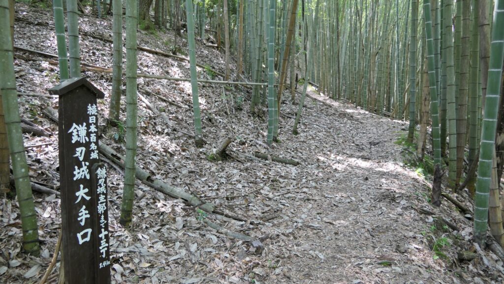
Location and History
Twisted Life by his uncle, Ruler Hideyoshi
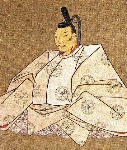
Hachimanyama Castle was located beside Lake Biwa in Omi Province which is now Shiga Prefecture. The castle was built by Hidetsugu Toyotomi, the tragic Kanpaku ( the chief adviser to the Emperor). He was a nephew of Hideyoshi Toyotomi who was the ruler of Japan in the late 15th Century. His mother was Hideyoshi’s older sister called Tomo. He was twisted around Hideyoshi’s little finger throughout his life, but left this castle and its castle town which is now Omi-Hachiman City.
The location of the castleHidetsugu was born in 1568 during the Sengoku Period when his uncle, Hideyoshi worked under a great warlord, Nobunaga Oda. In 1572 when he was 4 years old, he was adopted by Hideyoshi to the Miyabe Clan in Omi Province, which Hideyoshi wanted to gain over to Nobunaga’s side. It was common for warriors at that time to ally with others, but in the case of Hideyoshi, he had to send his nephew because he had no children. After that, Hidetsugu was adopted again to the Miyoshi Clan in Shikoku Island where Nobunaga and Hideyoshi aimed to invade. However, the situation changed after Nobunaga died in the Honnoji Incident in 1582. Hideyoshi intended to be the ruler, so he wanted Hidetsugu to be one of his commanding officer. Hidetsugu fought hard for his uncle in many battles although he failed in one of them called the Battle of Nagakute in 1584. In 1585 when Hideyoshi was appointed Kanpaku as the ruler, Hidetsuku was given a large territory in Omi Province. Hidetsugu built a new castle as his home base with instructions from Hideyoshi, called Hachimanyama Castle.
He develops new Castle, Castle Town, and Waterways
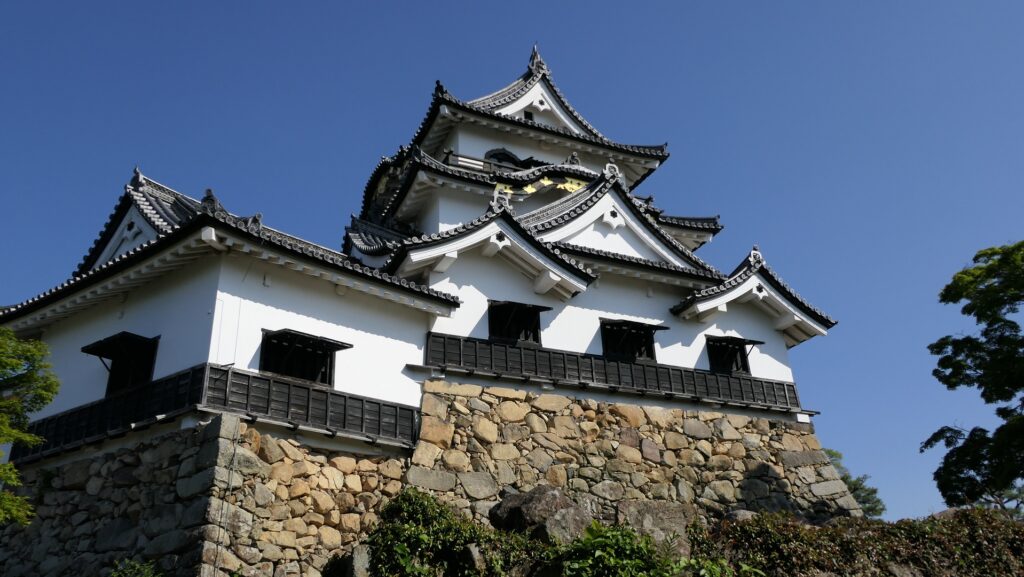
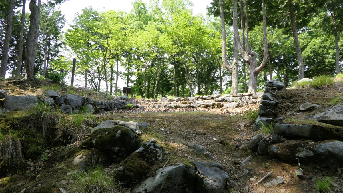
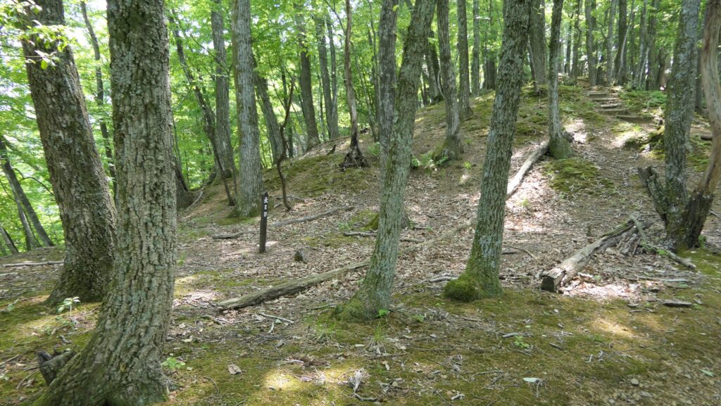
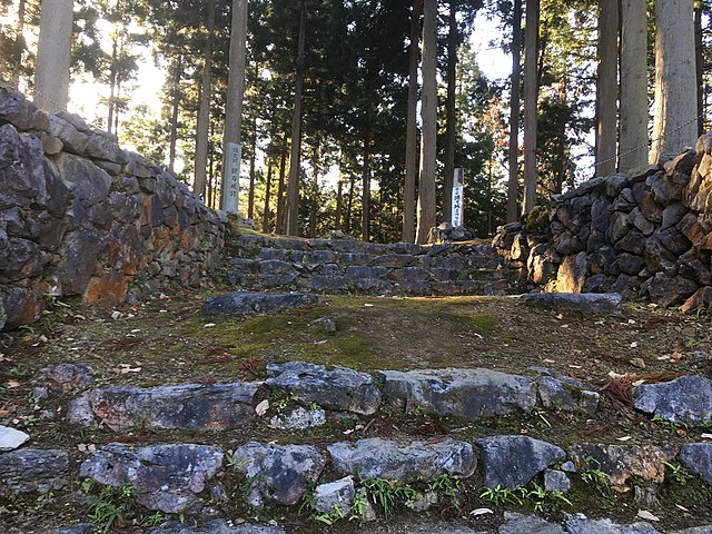
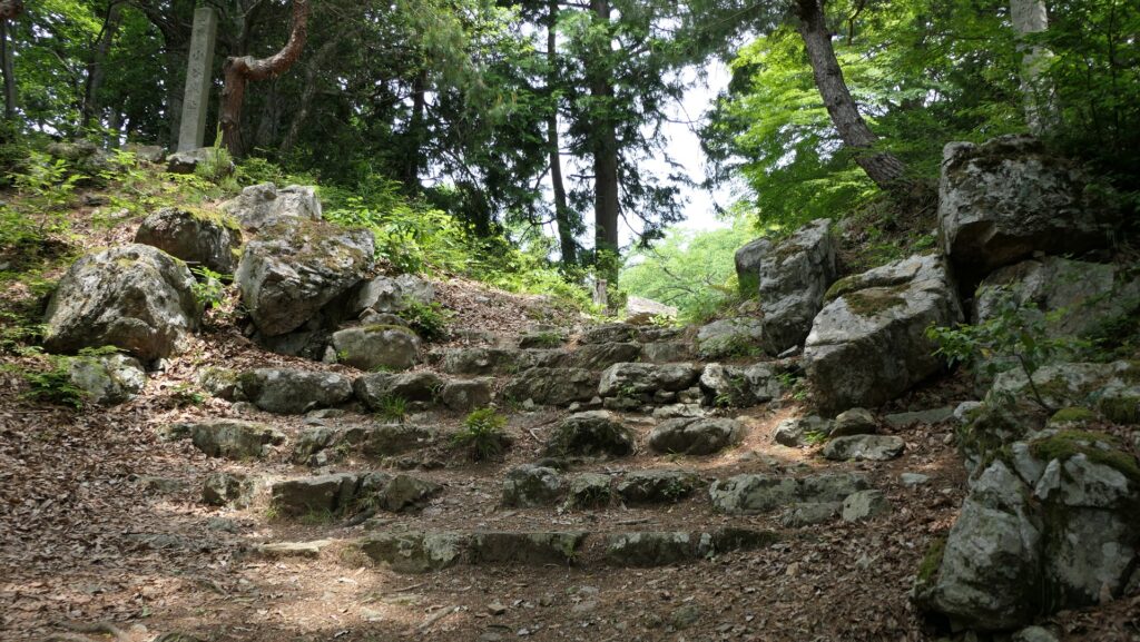
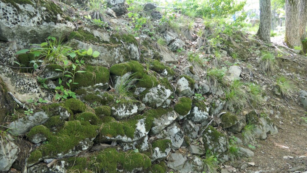
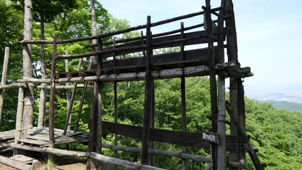
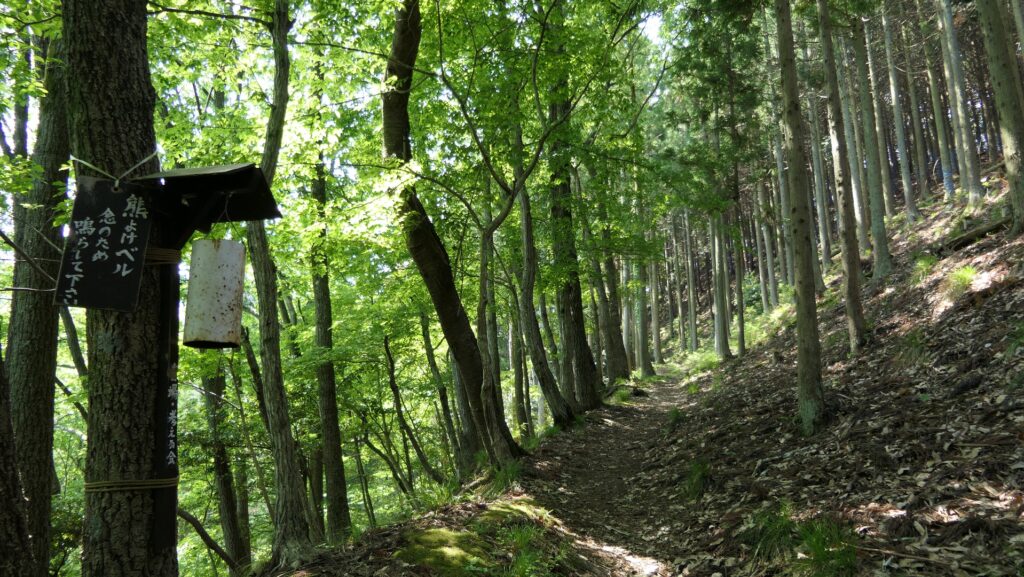
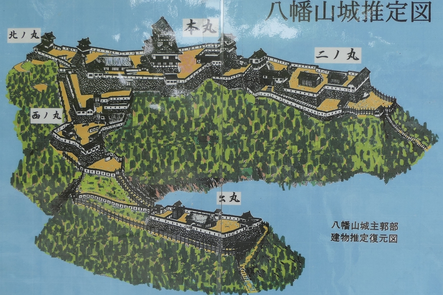
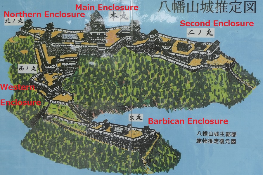
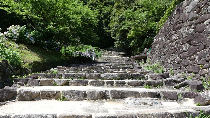
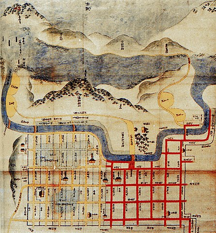
The mountain, which the castle was built, had originally been often called Hachimanyama or Hachiman Mountain, because the Himure-Hachimangu Shrine had been on the top of the mountain. The first thing to do for building the castle was to move the shrine to the foot. The mountain was 294m high and 180m above from the foot. Its slopes were very steep, which was good for protecting the castle. The Main Enclosure was built on the top where it is said the Main Tower and Main Hall were built. The Second, the Northern and the Western Enclosures were also built on the ridges spread from the top. These enclosures were all surrounded by stone walls. The Barbican Enclosure was also built below the Western Enclosure. In addition, the luxury residence for Hidetsugu was built at the foot because the top was not convenient for living. The long and straight Main Route like Azuchi Castle was also built in front of it.
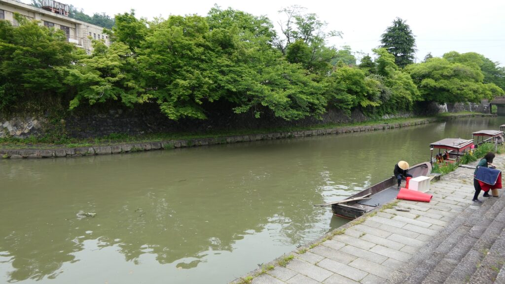
Hidetsugu also developed the castle town beside the mountain by moving the merchants in the castle town of the abandoned Azuchi Castle to the new developed area. The city area was built in a grid pattern like modern cities to improve business and living. Hidetsugu built the Hachiman-bori Moat, connected to Lake Biwa, between the castle and town. The moat was basically for defense, but it was also used for water transportation to boost commerce. The town has been prospering even after the castle was abandoned.
Short Glory before his Harakiri Incident
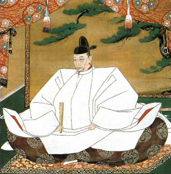
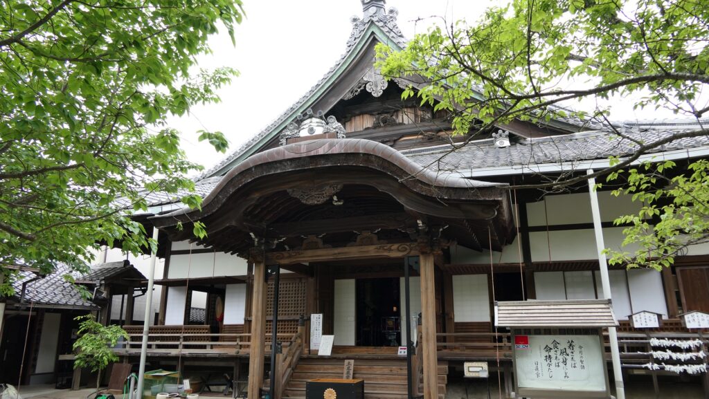
Hidetsugu moved to a much larger territory and finally became Kanpaku as the successor of Hideyoshi in 1590 . This was because Hideyoshi’s real or adopted male children all died young. Hidetsugu communicated well with many nobles and lords to be the next ruler after Hideyoshi. However, the situation changed again when Hideyoshi had his last son, Hideyori in 1583. In 1585, Hidetsugu was suddenly summoned by Hideyoshi’s officers due to the suspicion of his rebellion against Hideyoshi. He was sent to Mt. Koyasan, without any meeting with Hideyoshi, and He was forced to commit Harakiri. (ritual suicide by disembowelment with a sword.). Hideyoshi also ordered to execute almost all of Hidetsugu’s wives and children as offenders. Many relative nobles and lords were also punished. Hidetsugu’s mother, Tomo who was Hideyoshi’s sister felt deep sorrow, then established the Zuiryuji Temple alone in Kyoto to pray for Hidetsugu and his family.
However, no evidence for Hidetsugu’s rebellion was found. Some people said the incident happened for that he was called the Killer Kanpaku, which meant he liked killing, but it was also quite uncertain. After all, it seemed that Hidetaugu was a victim of Hideyoshi who finally became a crazy dictator and initiated a conflict between officers and lords. Hideyoshi even ordered to destroy Hachimanyama Castle followed by the Kyogoku Clan after Hidetsugu. The clan had to move to another castle, called Otsu Castle. There is an interesting story about Hikone Castle, whose Main Tower was moved from Otsu Castle. Toyotomi-style roof tiles covered with golden leaf were found at Hikone Castle which the Tokugawa Shogunate built. Some people think it was impossible as because they were against each other. Some historians speculate that the Main Tower or other buildings Hidetsugu built might have been moved or used to build Otsu Castle by Kyogoku Clan and finally brought to Hikone Castle.