Location and History
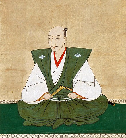
Nagayoshi Miyoshi’s Home Base
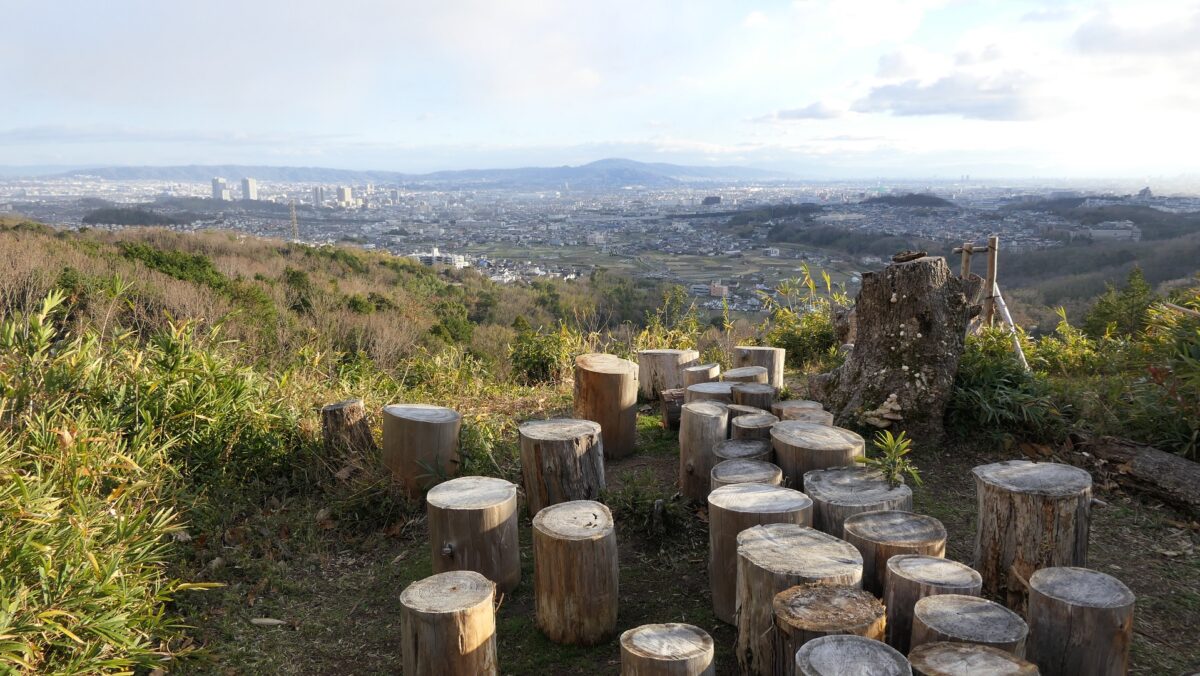
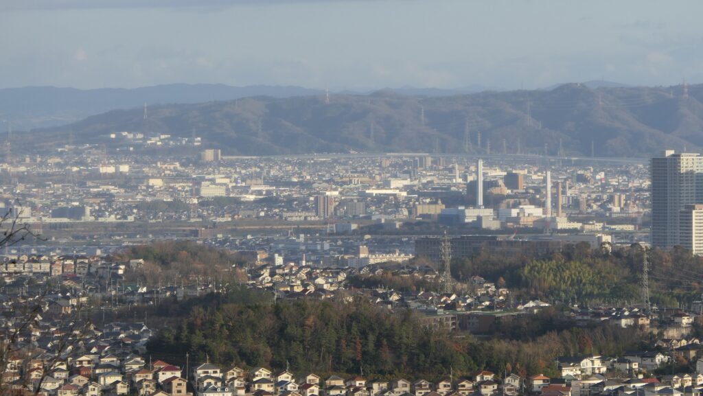
Imori Castle was located on a 314m high mountain called “Imori-yama Mountain” in Kawachi Province (what is now eastern part of Osaka Prefecture). The mountain was also on the northwest branch of Ikoma Mountains which was the border between Kawachi and Yamato Province (now Nara Prefecture). Several routes ran at the foot of the mountain, and the area around the castle was accessible from Osaka Bay by ships through Fukonoike Pond near the castle in the past. It is uncertain when the castle was first built, but the Kizawa Clan developed the castle around 1530. The castle became the largest mountain castle in the province. Mountain castles were very popular at that time.
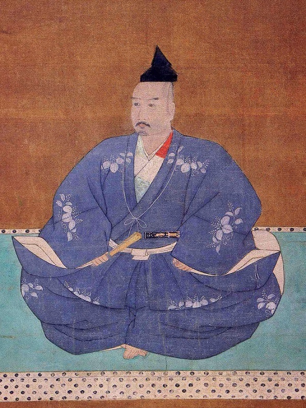
The location of Imori Castle and the range of Kawachi ProvinceNagayoshi Miyoshi was a great warlord in the middle 16th Century whose power competed with the Shogun, Yoshiteru Ashikaga. He banished the shogun from Kyoto and started his own governance. That’s why he is currently regarded as the first ruler who governed the center of Japan. He did so without the authority of the shogunate. However, some people consider Nobunaga Oda as the first ruler. Nagayoshi was based at the Akutagagawa-san Castle in Settsu Province (now the northern part of Osaka Prefecture) before he defeated the Hatakeyama Clan who owned Kawachi Province and Imori Castle and moved to the castle in 1560.
Stone Walls as Authority
The range of Imori Castle was about 700m from north to south and about 400m from east to west. The castle had a lot of enclosures which were divided into two groups, the northern and southern parts. The northern enclosures were on very narrow ridges and are thought to be used as defensive positions. On the other hand, the southern enclosures were relatively spacious, and it is said that they were used as residences. The slopes on the northern, eastern, and western sides were very steep. The southern slope was gentle, but the route to the castle on this side was very long.
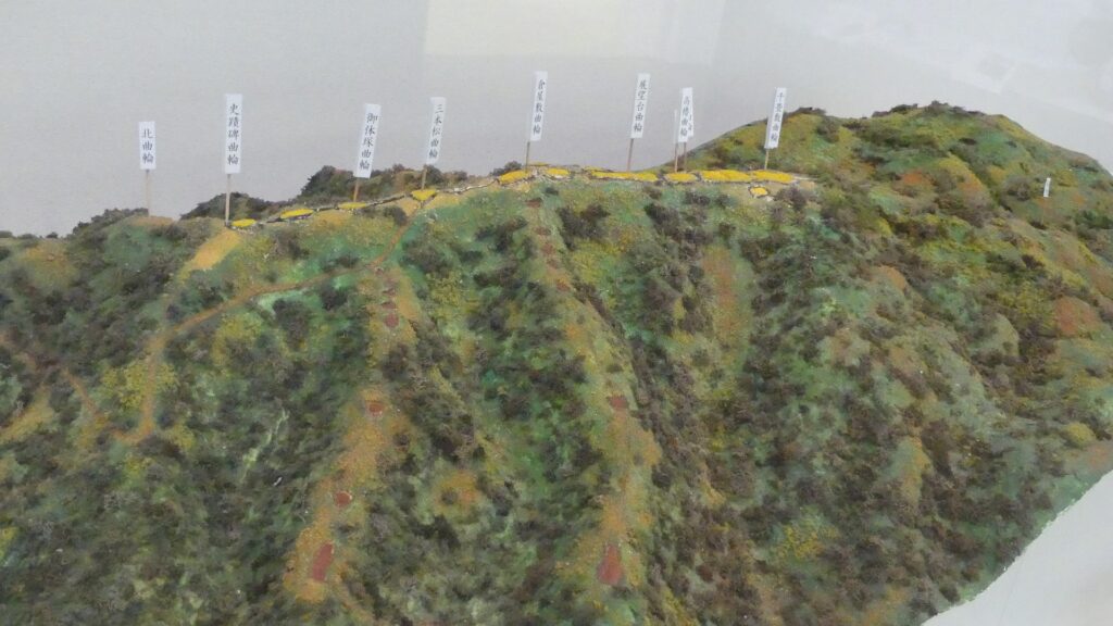
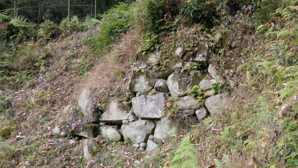
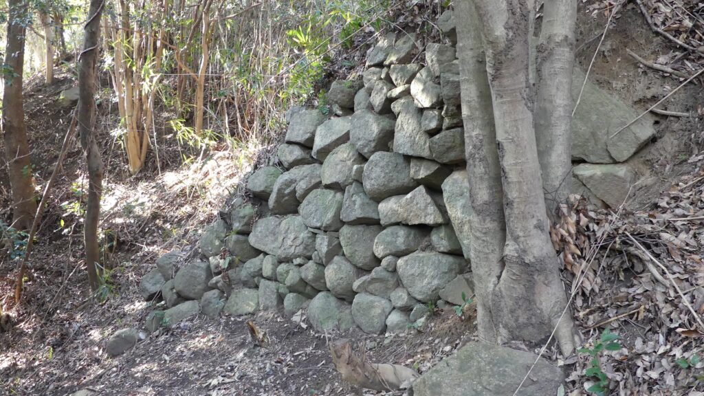
Historians think that the Main Route to the castle was on the eastern side, as visitors could visit the castle through rivers and valleys on this side. There is another reason why the front of the castle faced the east. It was recently discovered that the eastern side of most of the enclosures was covered by stone walls. They were not for buildings, just for supporting the enclosures. This meant that the stone walls were probably used to show visitors the castle’s authority facing the front. It is said that Nobunaga’s Azuchi Castle was the first case for using stone walls in earnest for a castle. However, the case of Imori Castle was nearly 20 years earlier than Azuchi Castle. This may be one more reason for Nagayoshi being called the first ruler.
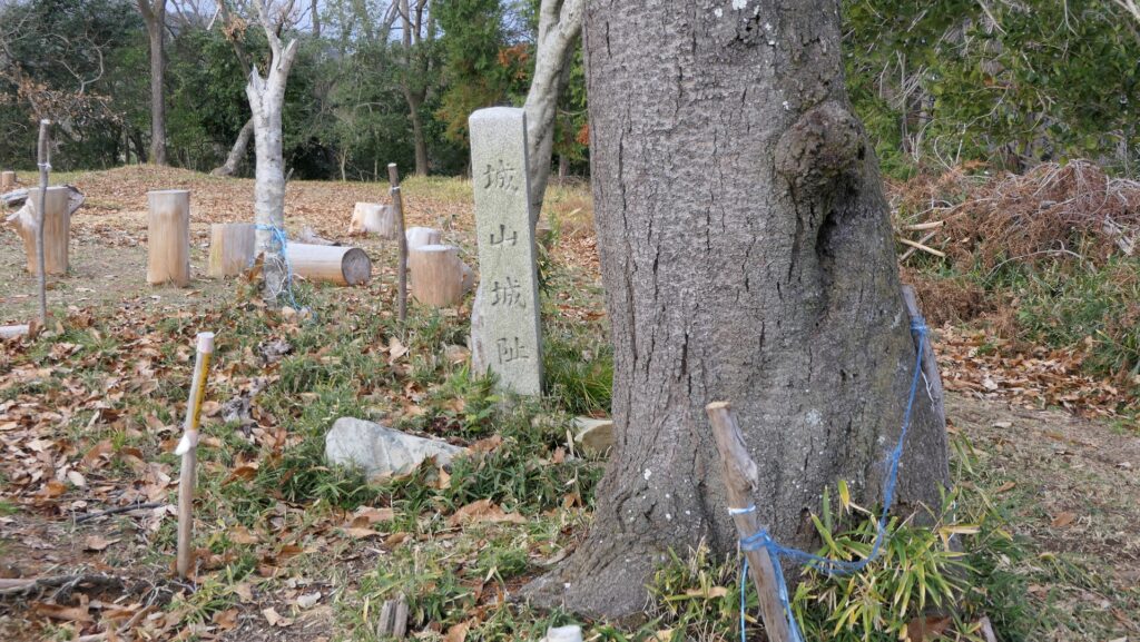
Nobunaga Oda abolished Castle
Nagayoshi governed the Kinki Region and often battled his enemies. He sometimes held poetry parties and even hosted missionaries while he stayed in the castle for a few years. However, he suddenly died in 1564. The Miyoshi Clan still held the castle but had internal troubles. Nobunaga Oda took advantage of the situation and went to Kyoto in 1568. As Nobunaga proceeded with his unification of Japan, he ordered the destruction of the castle in 1575 before the castle was abandoned.