Location and History
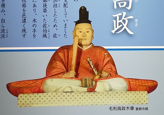
Takamasa Mori builds Castle
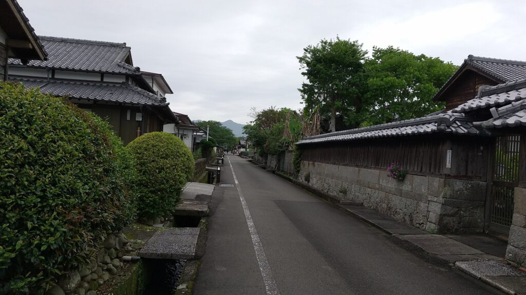
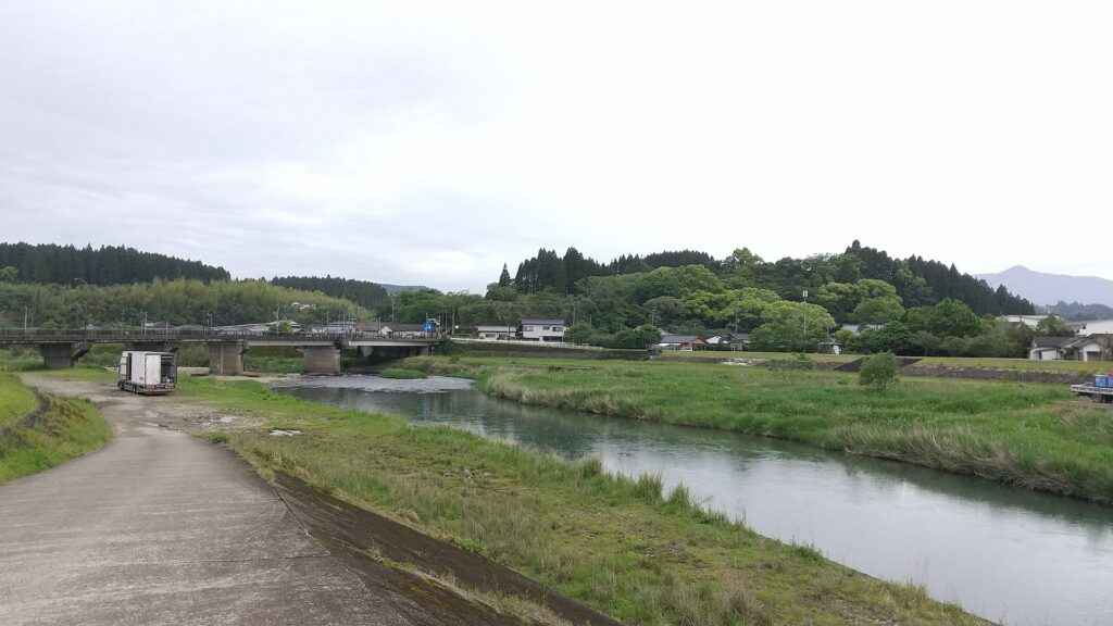
Saiki City is located in the southeastern part of Oita Prefecture, Kyushu Region. It is known for its agriculture, forestry and fishing, in particular, Saiki Port is the largest landing port in the prefecture. The city actually originates from the castle town of Saiki Castle which Takamasa Mori first built. He was also the founder of the Saiki Domain which governed the castle and town all through the Edo Period between the 17th and the 19th Centuries.
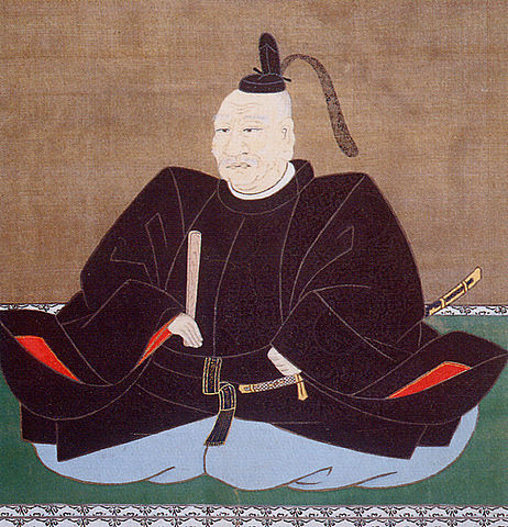
The range of Saiki City and the location of the castleTakamasa originally came from Owari Province, which is now the western part of Aichi Prefecture, and worked under Hideyoshi Hashiba who would be the ruler of Japan, Hideyoshi Toyotomi. After the unification of Japan, Takamasa was sent by Hideyoshi to Korea in 1592 and became active in the invasion of it. Hideyoshi gave Hita and Kusu Districts in Bungo Province (which is now Oita Prefecture) in 1595 to Takamasa in response to his contribution, following the former lord, the Otomo Clan which was fired by Hideyoshi. He improved some castles including Tsunomure Castle while he was in the territory.
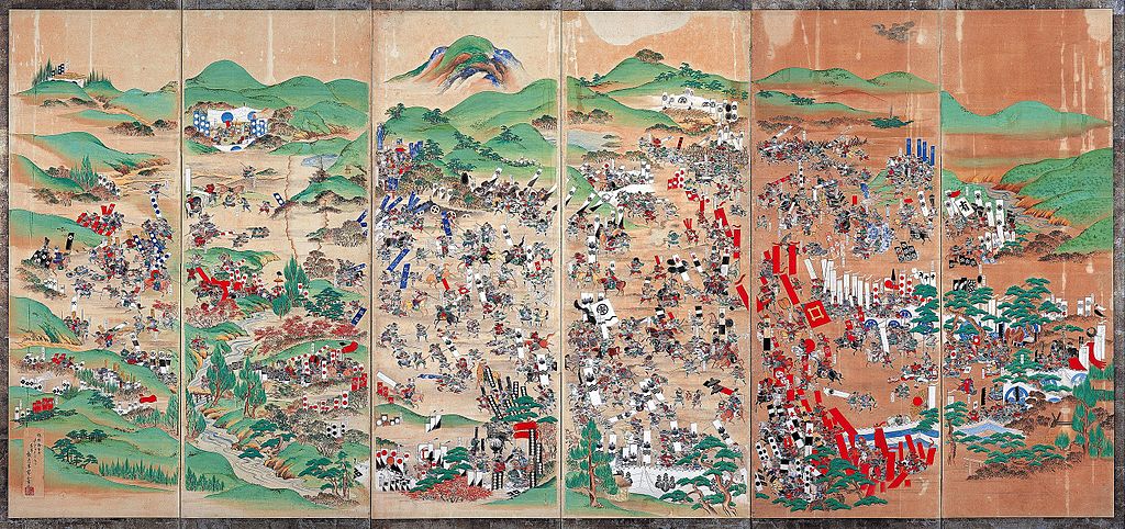
After Hideyoshi died in 1598, a decisive battle over the county between the East Quad led by Ieyasu Tokugawa and the West Quad led by Mitsunari Ishida supporting the Toyotomi Clan took place in 1600, called the Battle of Sekigahara. Takamasa joined the West Quad which was defeated by the East Quad. He immediately surrendered to the East Quad. Considering other cases of the lords who supported the West Quad, Takamasa might have been fired or killed by the Tokugawa Shogunate which Ieyasu founded. However, he survived as the lord of another territory in Bungo Province, called Saiki. One of the reasons for his survival is said that his friend, Takatora Todo who was a powerful lord of the East Quad saved him. Another reason is probably Takamasa had the capacity to build great castles and improve civil government. He was also a specialist of guns.
New Mountain Castle, rare case after Battle of Sekigahara
The Saeki area already had a great mountain castle called, Togamure Castle, however, Takamasa built a new mountain castle as his new home base in 1601, which would be Saiki Castle. The reasons why he took the trouble to build another mountain castle are said to be as follows. First, the new castle was near the port and the expected castle town, so it was convenient for the government. Second, the mountain the castle was built on had had the Hachiman Shrine, that’s why it was called Hachiman Mountain and considered as a holy place, which could give the castle builder authority. Finally, the situation was still unstable because the Tokugawa Shogunate and the Toyotomi Clan were against each other at that time. Lords in Japan needed to prepare for the next battle. Though some other lords built their castles on a plain or a low hill, Takamasa’s answer was to build his strongest castle on a mountain, which was rare then.
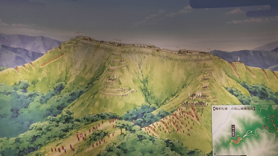

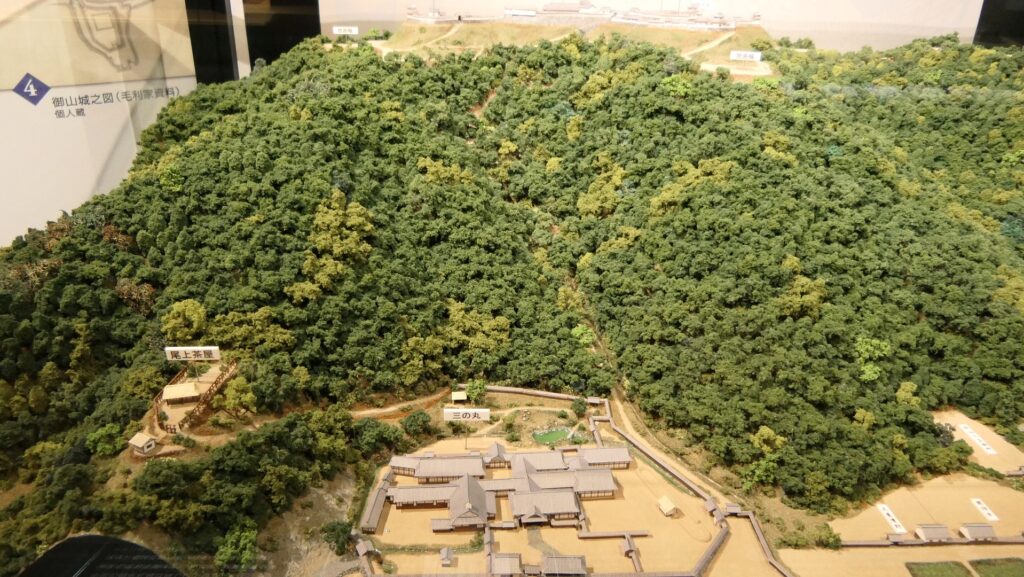
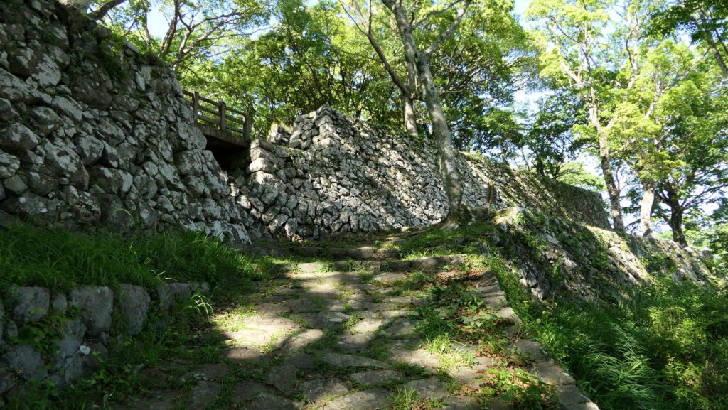
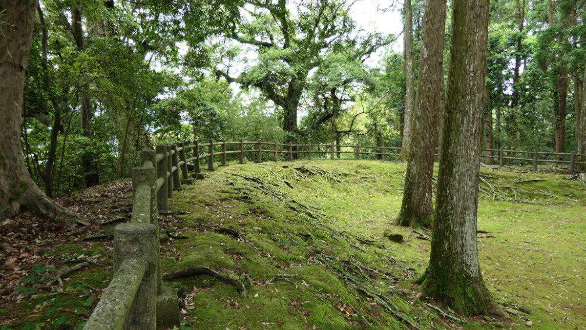
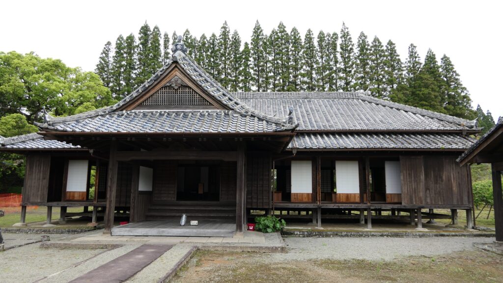
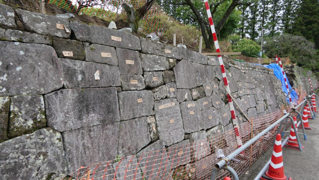
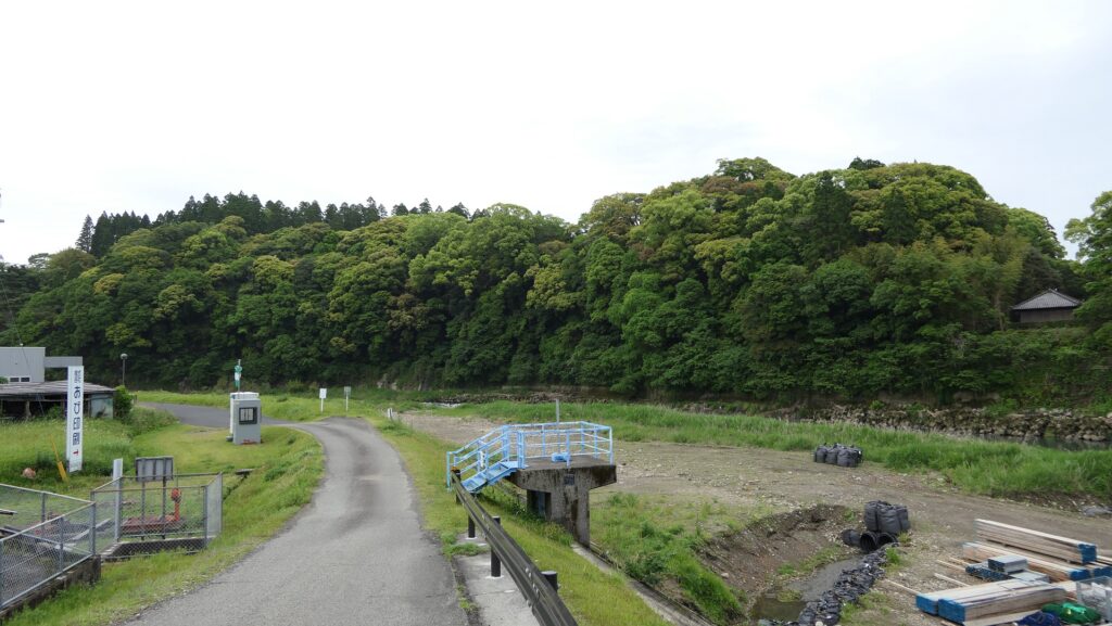
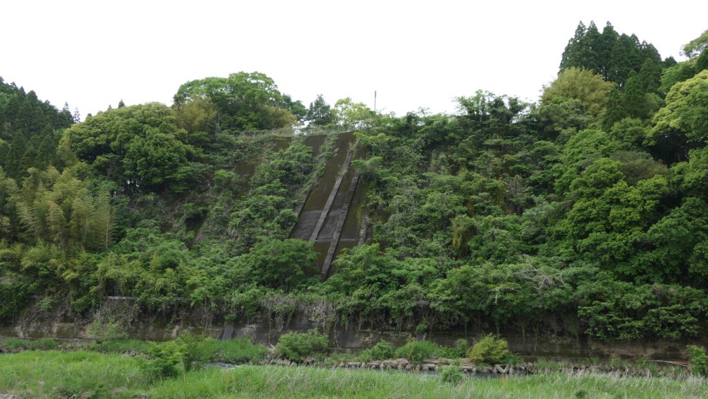
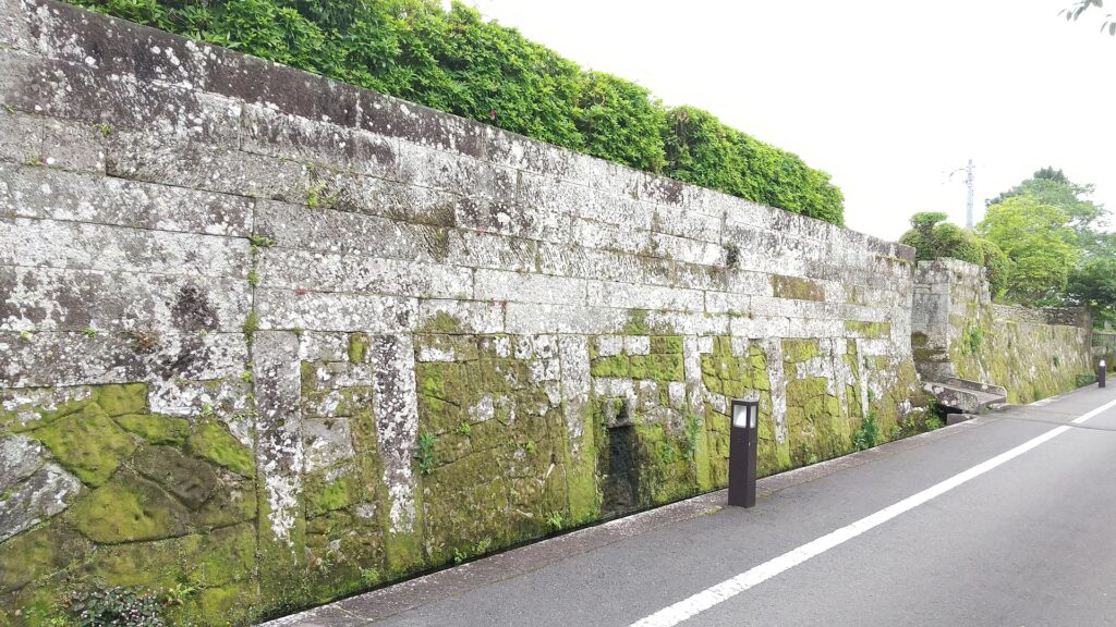
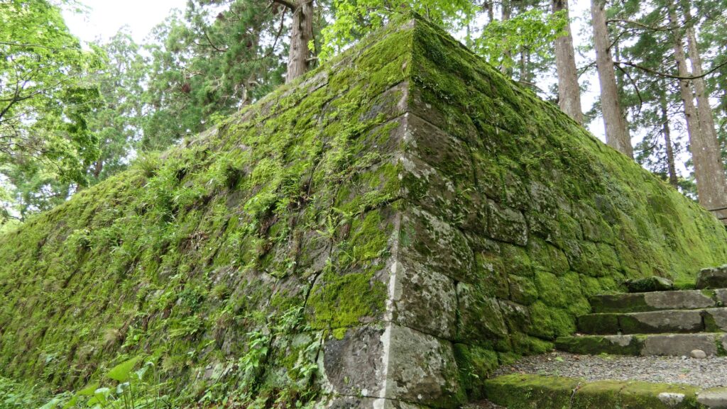
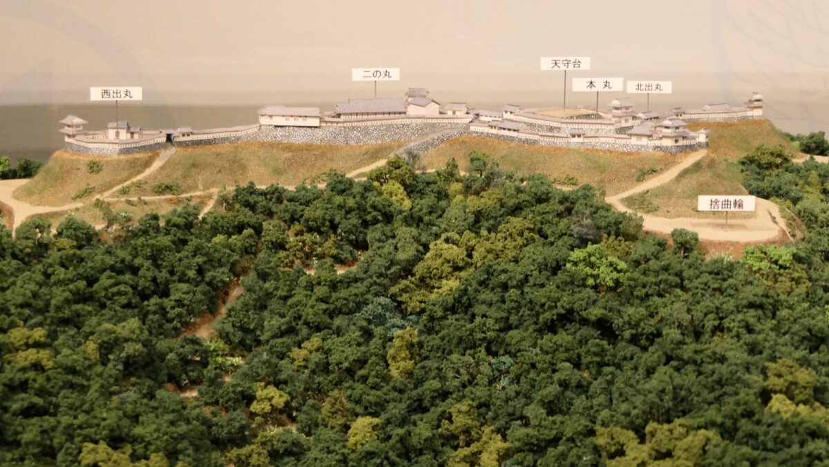
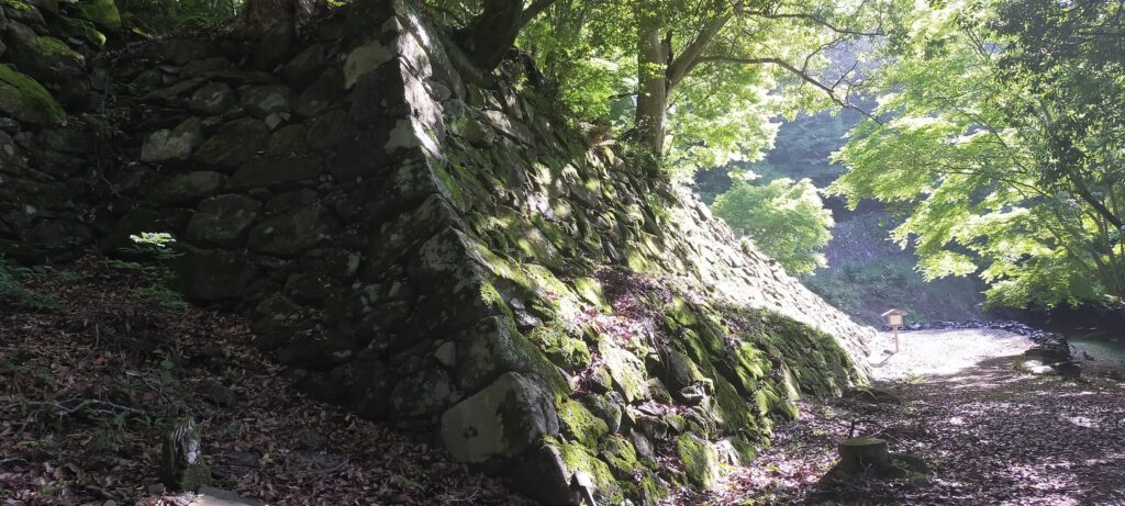
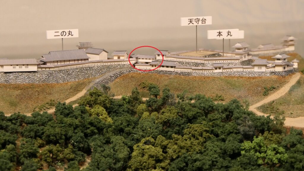
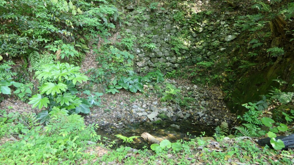
Saiki Castle was completed in 1605. The mountain is 145m high and has long and narrow ridges in the north and the southwest from the top. The top and ridges were all covered with stone walls. The top had the Main Enclosure and the Main Tower in it. The Second Enclosure was next to the Main Enclosure, which were connected by the Corridor Bridge, the only path to the Main Enclosure. The Second Enclosure had the Main Hall for the lord. It was not so large, but the lord and his family usually had to live on the mountain preparing for an emergency or a battle. The castle also had two reservoirs, called Men-ike or the Female Pond and On-ike or the Male Pond on a valley between the ridges. They were built for a long siege and also surrounded by stone walls.
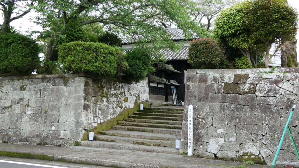
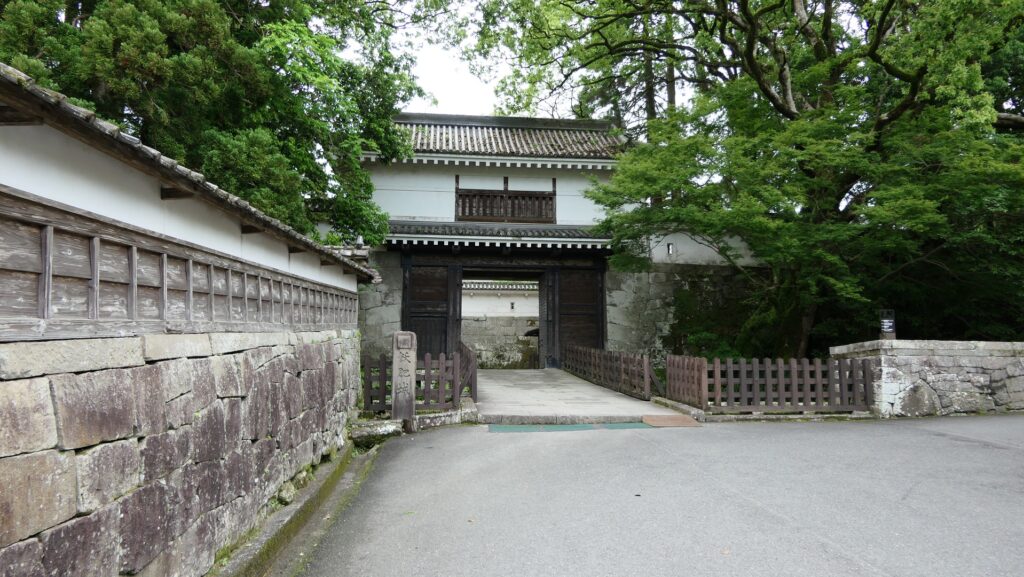
Main Hall is built at foot of mountains in peaceful period
After the shogunate defeated the Toyotomi Clan in 1615, the situation changed. The government of the shogunate became stable. That meant lords in Japan didn’t need to live in an inconvenient hall on the mountain. In the case of the Saiki Domain, the third lord of the domain, Takanao Mori built the Third Enclosure and his new Main Hall at the foot of the mountain in 1637. As for the Main Tower in the Main Enclosure on the top, it is said to have had three-levels, but its details are quite uncertain. This is because it was unfortunately lost at the very first stage of the castle for some reasons.