20.Sakura Castle Part2

If you are at JR Sakura Station, the place, where the castle ruins are located, it may looks simple at first. However, if you go there by walking up on the slopes, you will be surprised to see the spacious area on the top. Visitors coming from other places may feel the same way, too.
Features

Introduction

If you are at JR Sakura Station, the place, where the castle ruins are located, it may look simple at first. However, if you go there by walking up on the slopes, you will be surprised to see the spacious area on the top. Visitors coming from other places may feel the same way, too.

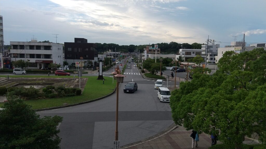
The hill area, seen from JR Sakura Station
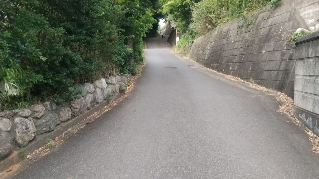
One of the slopes from the station to the hill, called “Yakushizaka”

From Main Gate to Main Enclosure

Let us go from the ruins of the main gate to the center of the castle. Unfortunately, only a part of the earthen walls remains today.
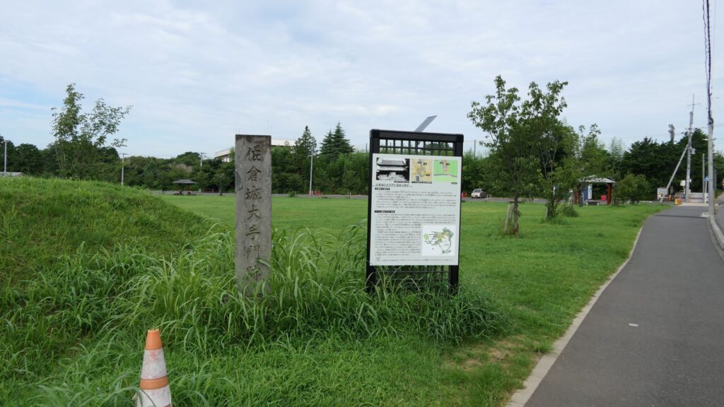
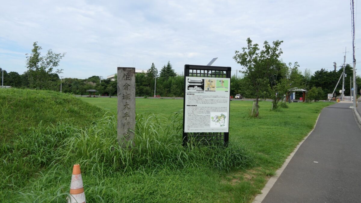
The ruins of the main gate
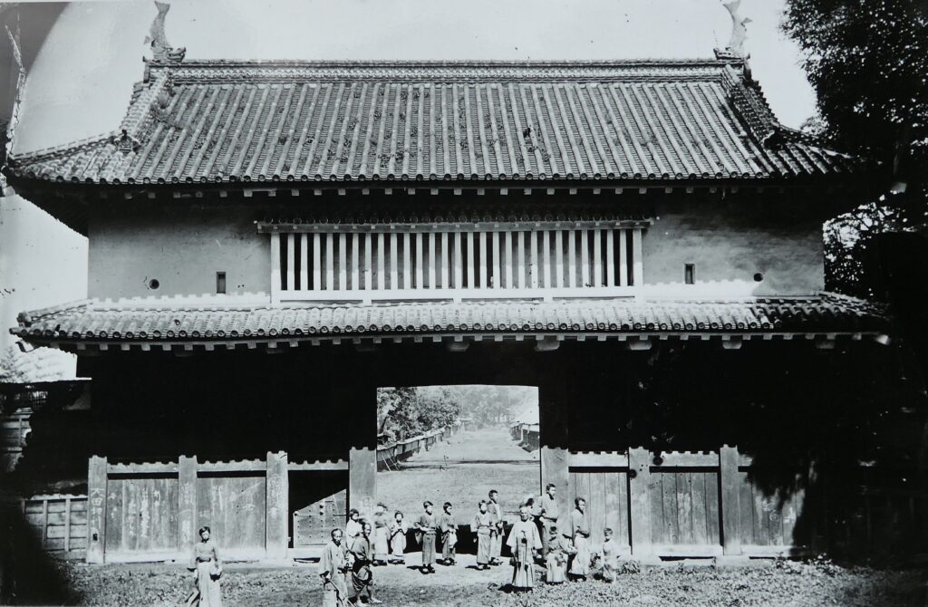
The old photo of the gate, from the signboard at the site
The remaining earthen walls

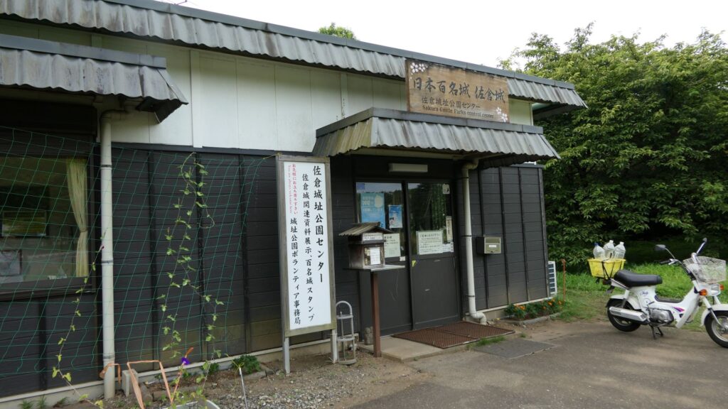
There were some large enclosures inside the gate, such as Higashi-so-kuruwa. They were turned into schools, parking lots, and a square. There is also Sakura Castle Park control center in front of the square, which shows some exhibitions of the castle. The square had the main hall for the lord and another one for the retirement residence of Masayoshi Hotta at the end of the Edo Period.
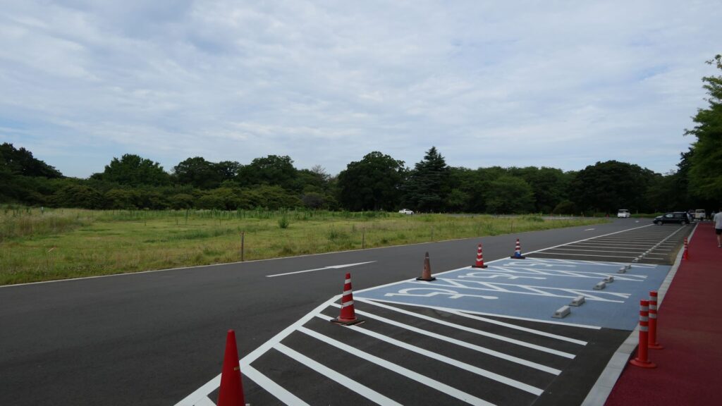
The square, which is an open space
The Sakura Castle Park control center

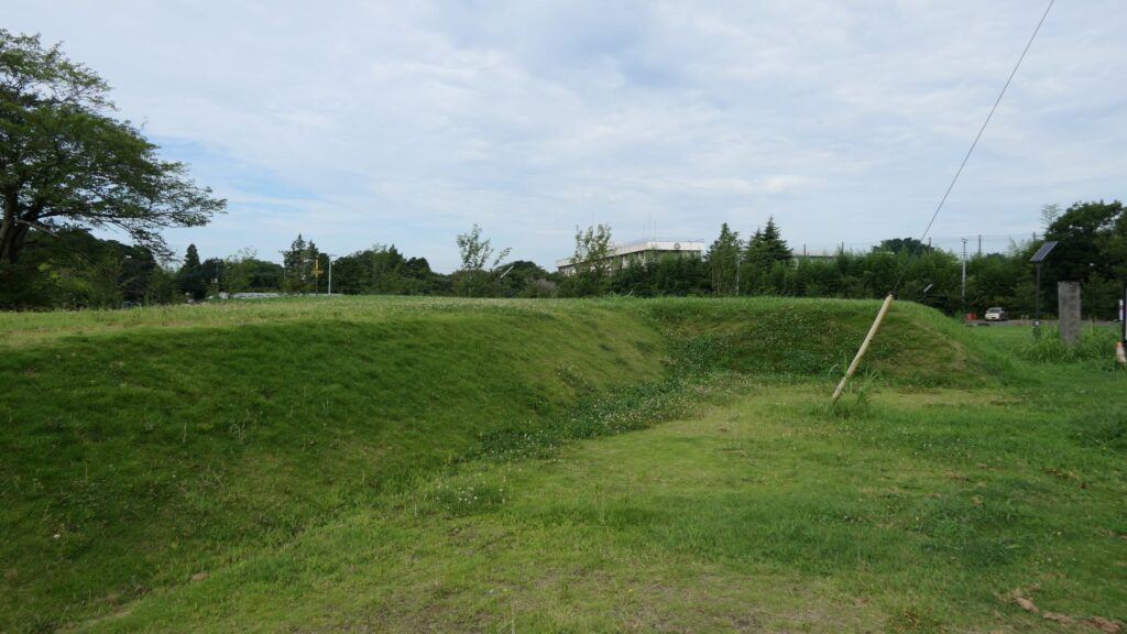
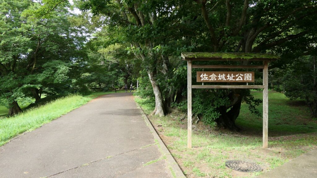
You will eventually reach the center of the castle, which has been turned into Sakura Castle Park. You will first see the remaining large dry moat. It looks beautiful, covered in grass, however, it must have been deeper and more fortified in the past.
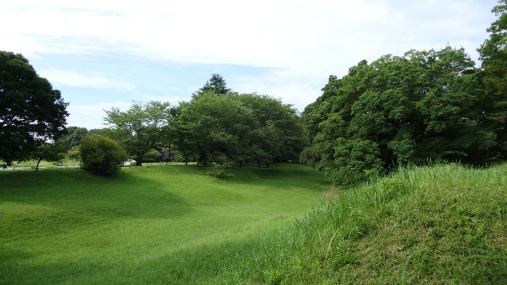
The remaining dry moat
The entrance of the park

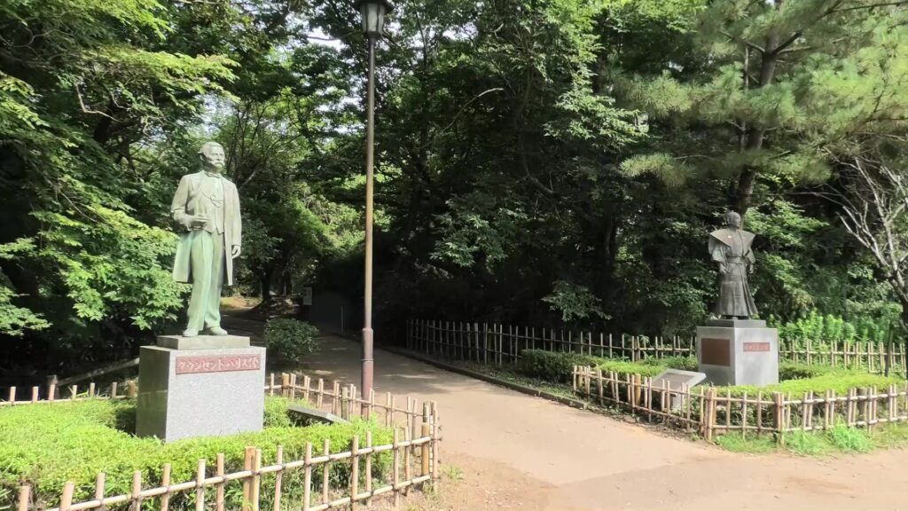
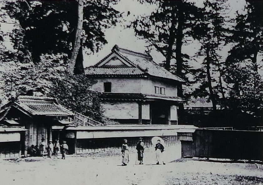
You will next reach the ruins of the third gate, which was the first gate towards the center. The third enclosure is inside of the gate, and it was the residential area for the senior vassals in the past. You will find a mini crater in the enclosure. This is the trace of another dry moat, which has been filled. If you go further, you will see the statues of Townsend Harris and Masayoshi Hotta who tried to open Japan to the rest of the world.
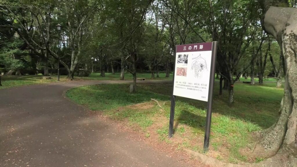
The ruins of the third gate, The sign board will show you how the original enclosure would have looked like the past
The old photo of the gate, from the sign board at the site, The gate on the left leads to the resident of one of the senior vassals
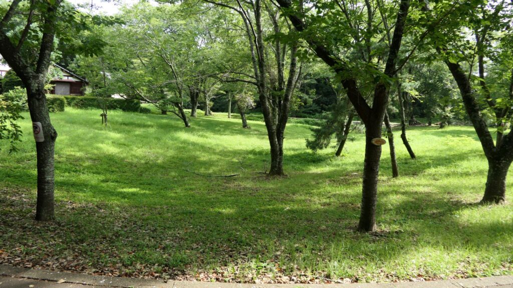
The trace of the dry moat
The statues of Townsend Harris on the left and Masayoshi Hotta on the right

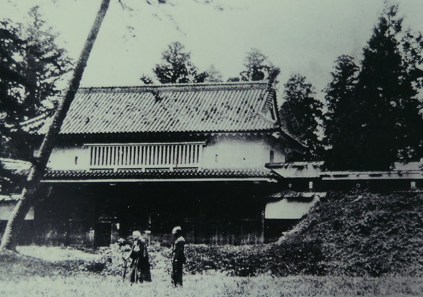
Then, you will reach the ruins of the second gate, the entrance of the second enclosure. The enclosure had had the first main hall for the lord before the one outside the third enclosure was built. There were also the rice warehouses in the back of the enclosure. You can still see its stone foundations there, too.
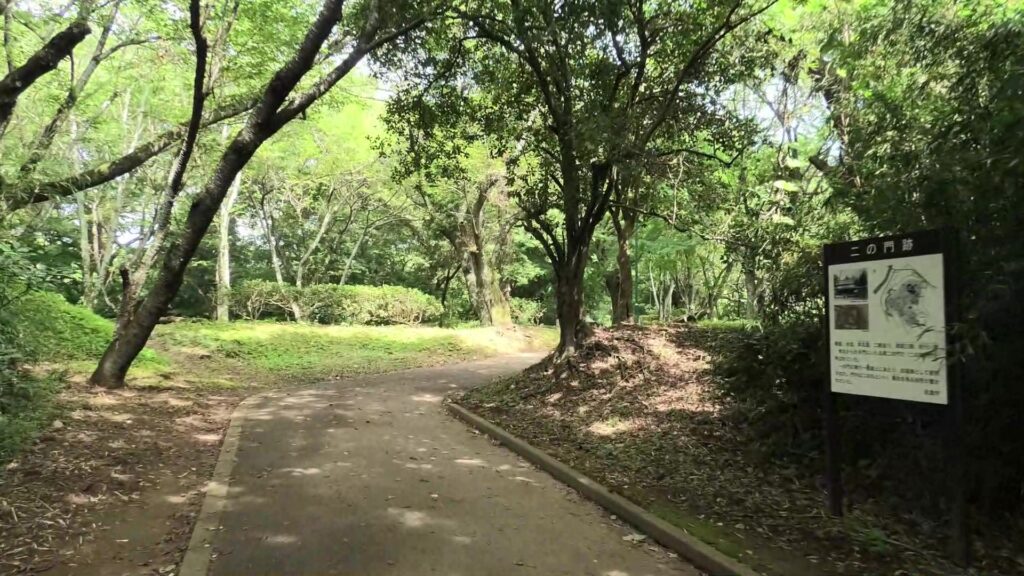
The ruins of the second gate
The old photo of the gate, from the sign board at the site
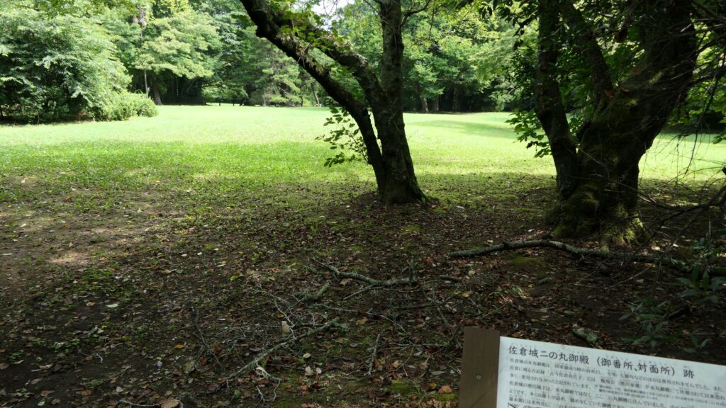
The ruins of the hall
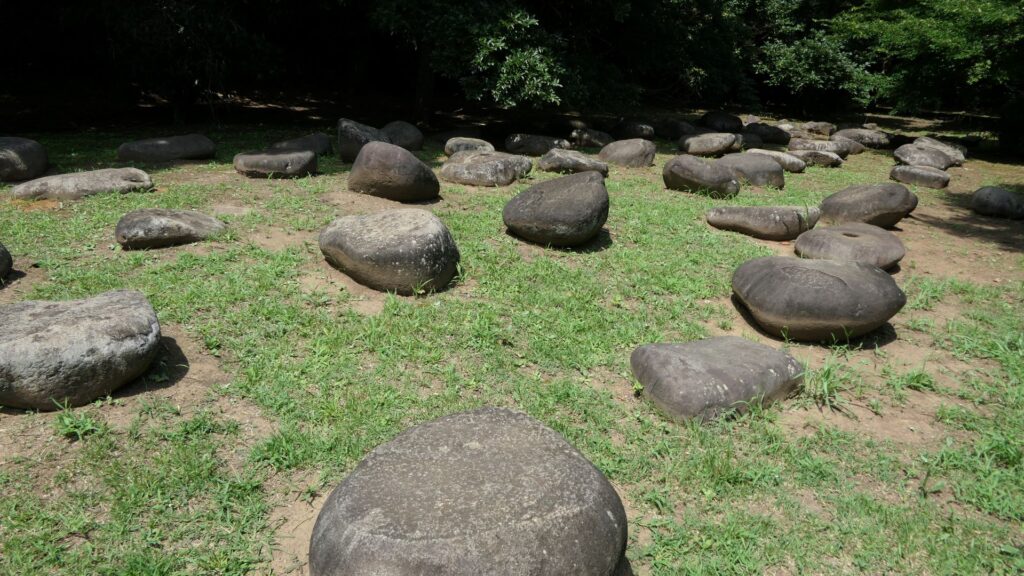
The remaining stone foundations

You will eventually reach the main enclosure after going across the dry moat of the enclosure. there are the ruins of the first gate.
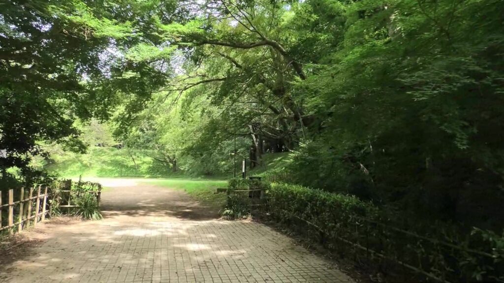
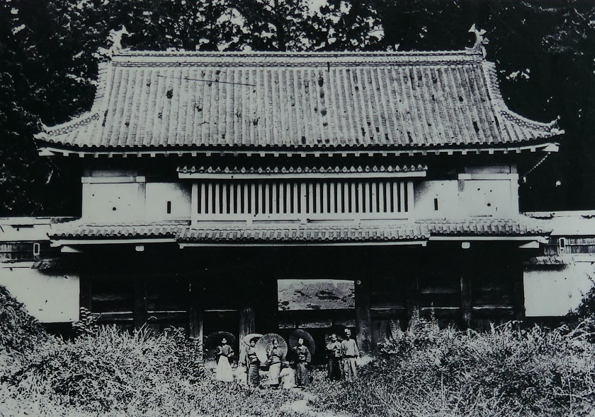
The ruins of the first gate behind the earthen bridge over the moat
The old photo of the gate, from the sign board at the site, Notice the people standing in front of the gate.  They are the generals

Climbing down from Main Enclosure

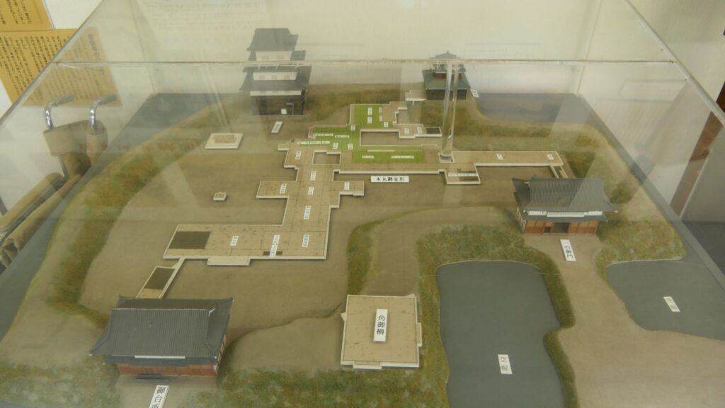
The main enclosure is all surrounded by earthen walls, so you may feel like you are being wrapped up. This area is the western edge of the plateau. There was the other main hall inside, however, it was rarely used just for ceremonies. This was because it was considered exclusive for the shoguns.
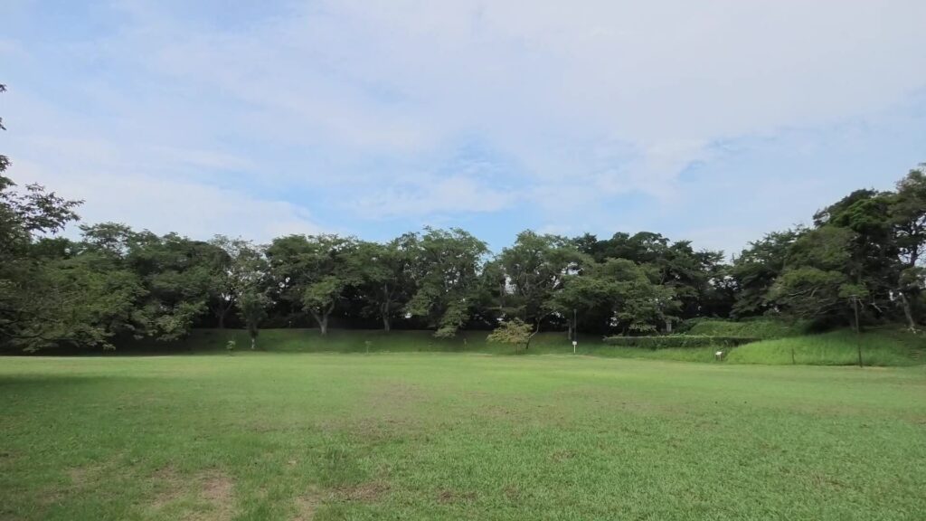
The inside of the main enclosure
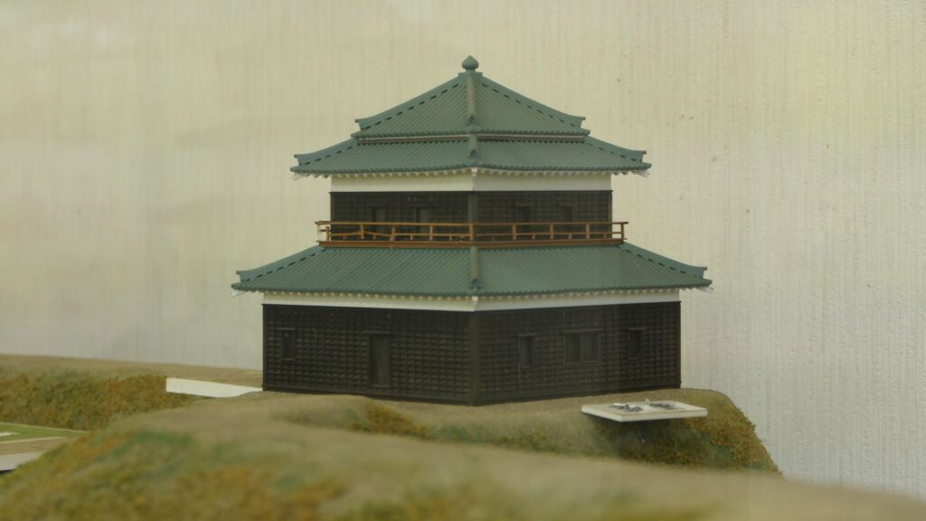
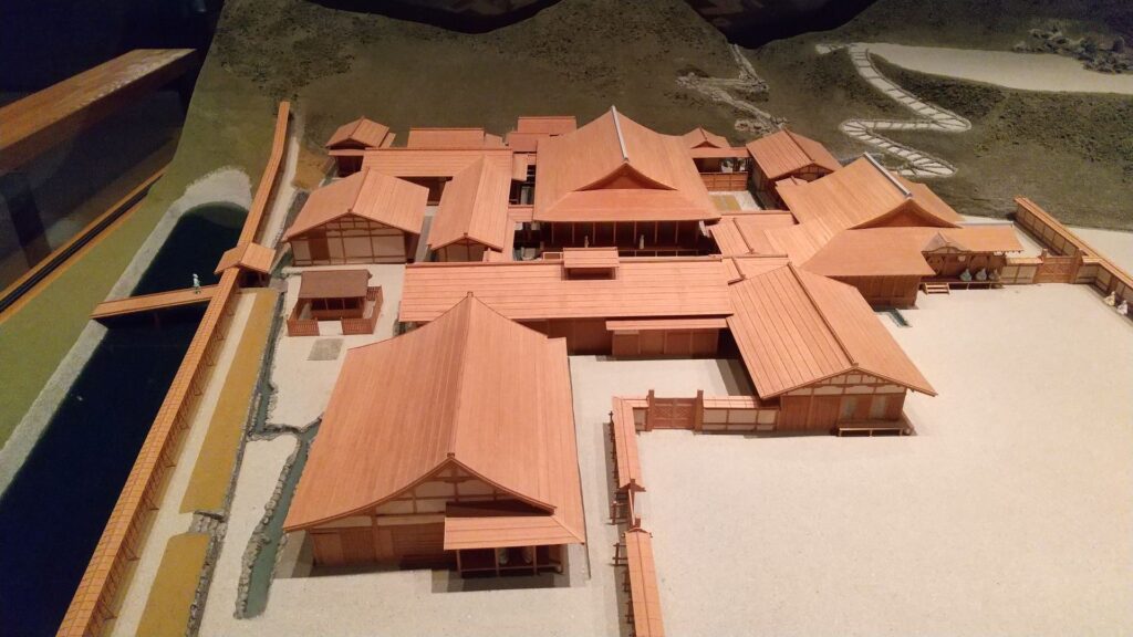
The miniature model of the main enclosure, exhibited by the Sakura Castle Park control center

You can walk on the earthen walls around the enclosure. If you walk from the first gate ruins on the earthen walls, you will pass by the ruins of Do-yagura (the copper turret). The turret had a mysterious tradition. It says that the turret was originally built by Dokan Ota, the founder of Edo Castle, called “Shoyoken”, and moved from the castle. However, we cannot confirm whether or not the turret was moved from Edo Castle. However, if it had remained, it would have become a National Treasure of Japan.
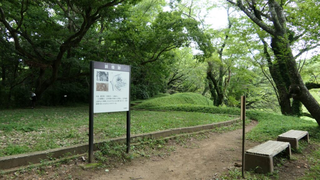
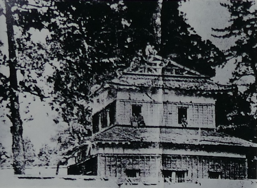
The ruins of Do-yagura turret
The old photo of the turret, from the signboard at the site, as you can see, carpenters were removing the roof tiles partially
The miniature model of the turret, exhibited by the Sakura Castle Park control center

If you go further, you will eventually reach the earthen base of the main tower.
The tower was directly built on the base and its outside walls leaned on the earthen walls of the enclosure. That was why people saw the tower three-leveled from the outside but four-leveled from the inside. The tower was used as the warehouse for weapons. It was unfortunately burned down after a thief robbed it of guns and left his lantern there.
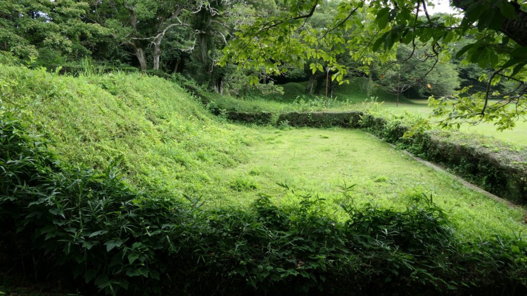
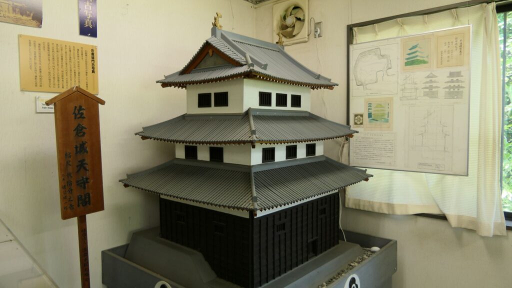
The ruins of the main tower
The miniature model of the tower, exhibited by the Sakura Castle Park control center

There are the other ruins of the corner turret in the enclosure. The turret also has the tradition which says it originally came from Motosakura Castle. That may have been the reason why it deteriorated sooner than the others and was renovated during the Edo Period.
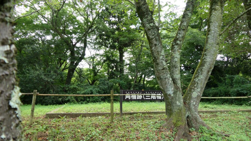
The ruins of the corner turret

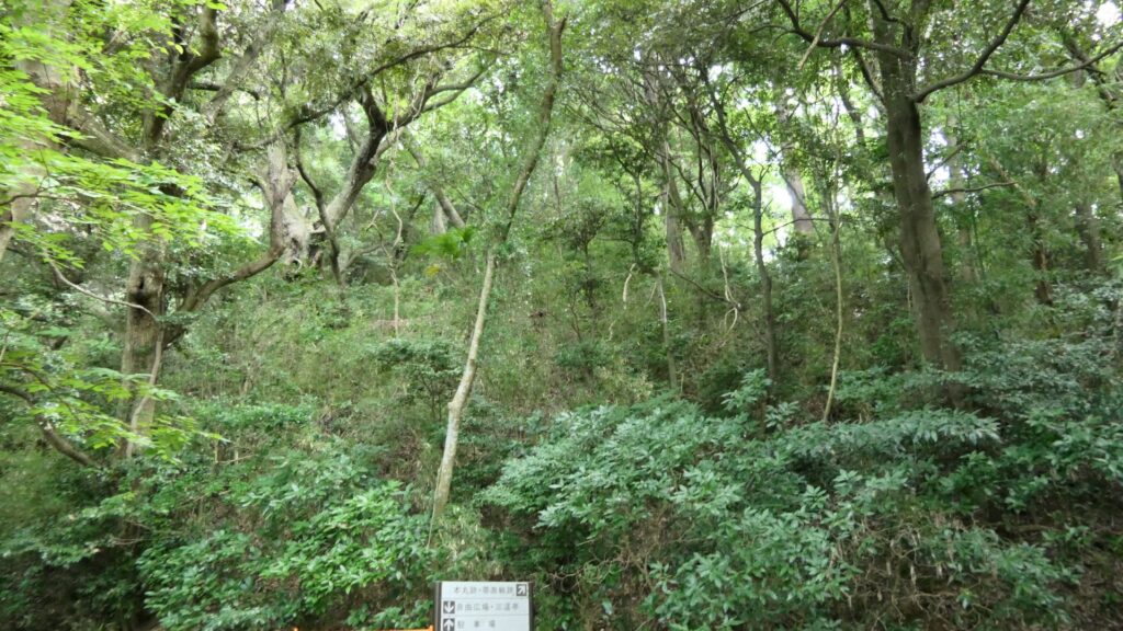
Let us next get out of the enclosure through the ruins of the back gate and climb down the slopes of the plateau. The slopes are steep which made the castle fortified. You will eventually see some trails on the mid slopes, which are the belt enclosures of the castle. The enclosures were said to have originally been dry moats and were changed to the trails by being filled naturally. If you look up the main enclosure, you will realize it is protected by the natural terrain even though it doesn’t have stone walls.
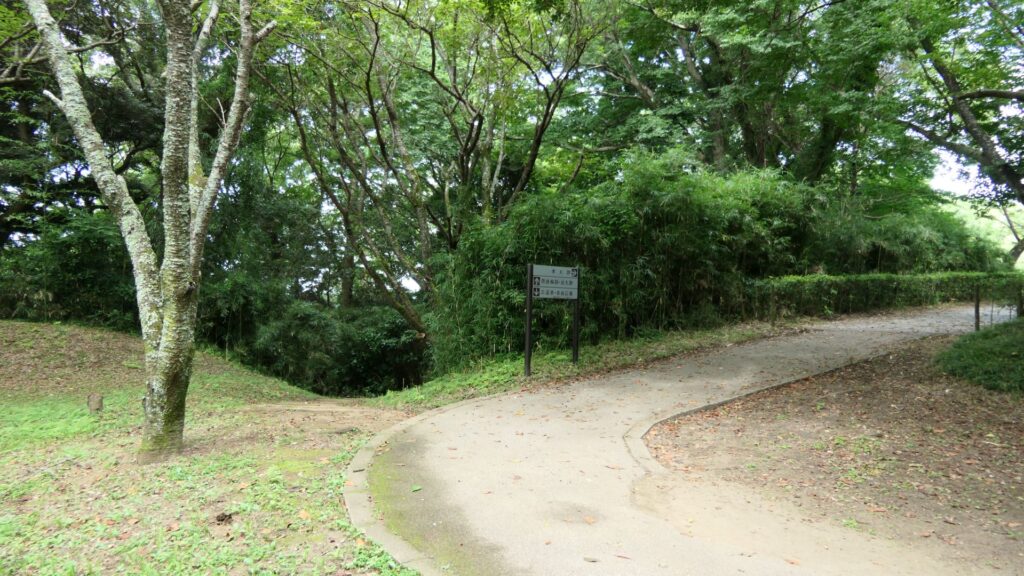
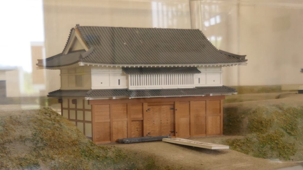
The ruins of the back gate
The miniature model of the gate, exhibited by the Sakura Castle Park control center
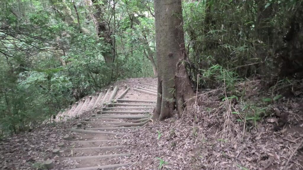
Climbing down the slopes of the plateau, please be careful when climbing down because it’s very steep
The belt enclosures
Looking up the main enclosure

You will eventually arrive at the foot of the plateau and see the southern barbican enclosure. If you go around the enclosure, you will see it is still surrounded by water moats. It looks very defensive and cool! If you enter the enclosure as well, you will see the outside which you walked around on.
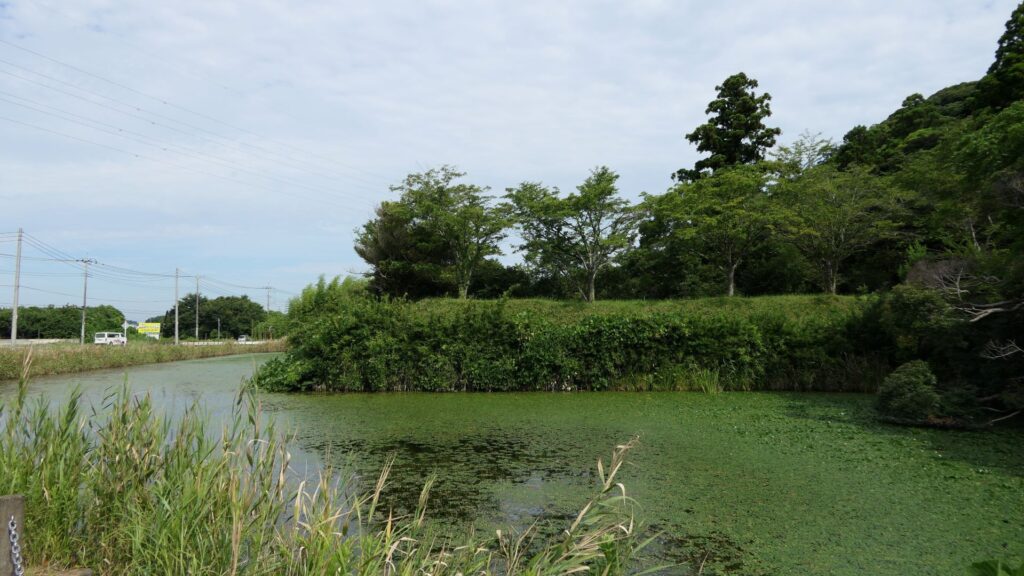
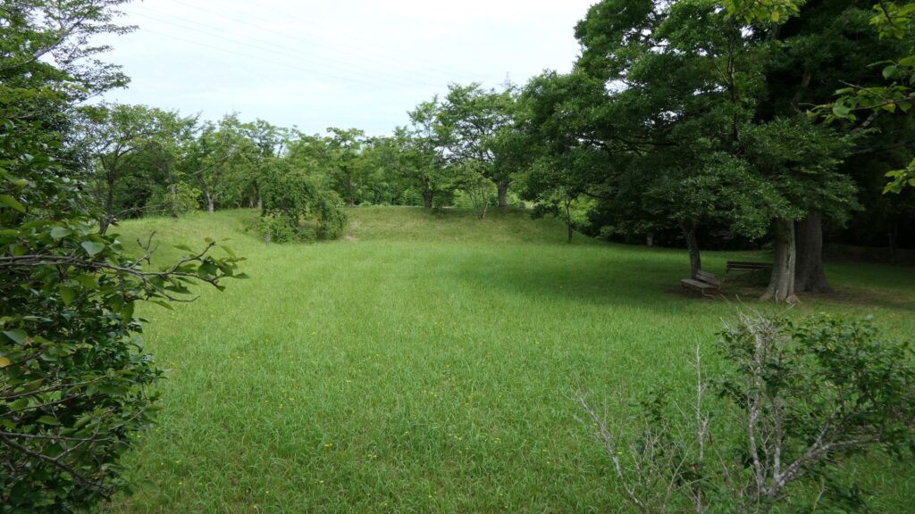
The exterior of the southern barbican enclosure
The inside of the southern barbican enclosure
The view from the inside of the enclosure

I recommend you to go back to the belt enclosure and walk on it to the other western barbican enclosure. The enclosure still has its earthen walls and water moats in good conditions. There is the only remaining building at its entrance, called Yakui-mon gate. However, No one knows for certain its original name and position, because it was moved multiple times from the current position that it is in now.
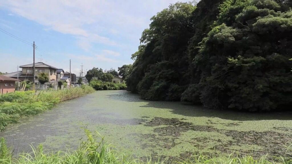
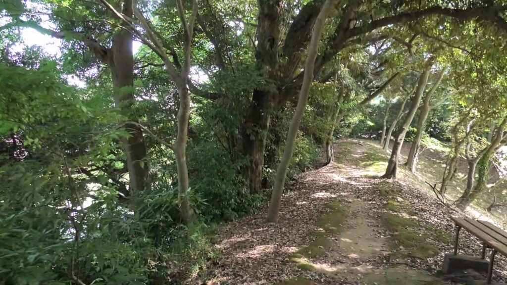
The western barbican enclosure
The earthen walls of the enclosure
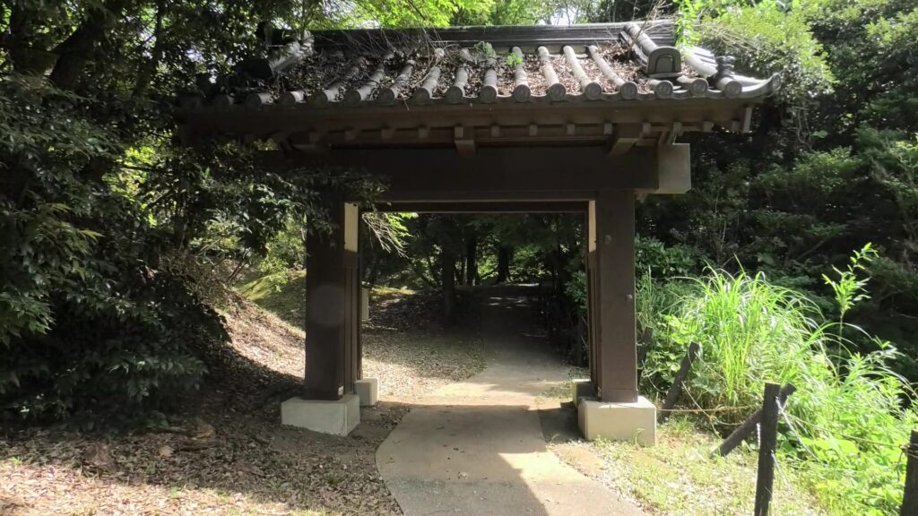
The Yakui-mon gate

Looking at Umadashi system and Dry Moats

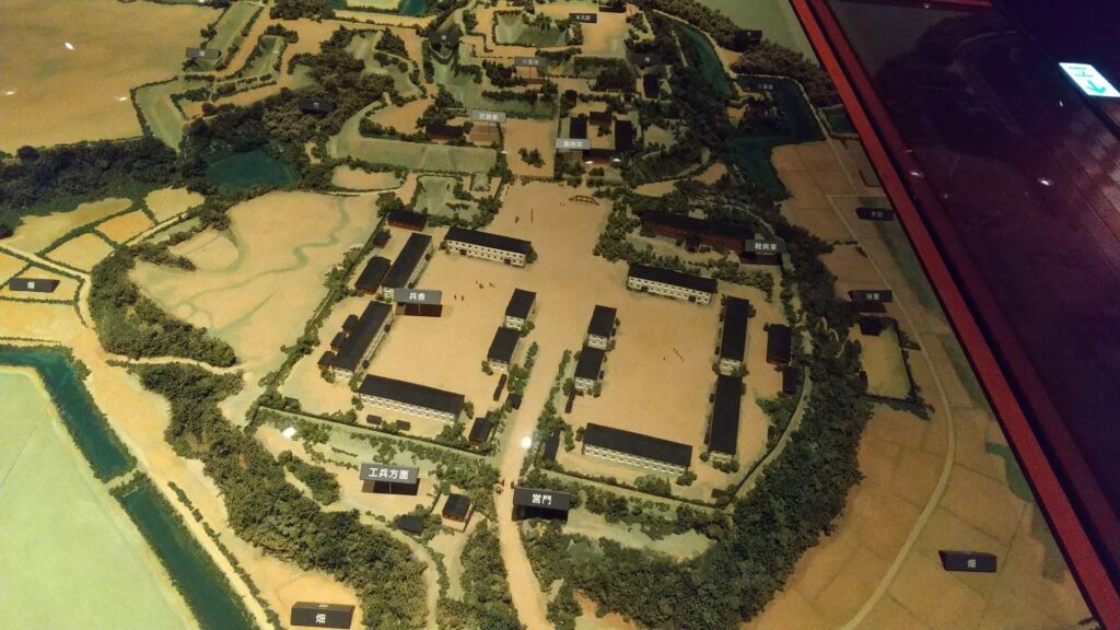
If you don’t mind, it may be better to walk around the plateau to another entrance from the north to the castle. It was called Tamachi-mon which was the back gate of the castle, on Atago slope. It is now the front gate of the National Museum of Japanese History. A large enclosure of the castle, called Shinoki-kuruwa has become the museum. The enclosure was originally used as Samurai residences and was turned into barracks for the Japanese Imperial Army before the museum. It has been used effectively because it is massive.
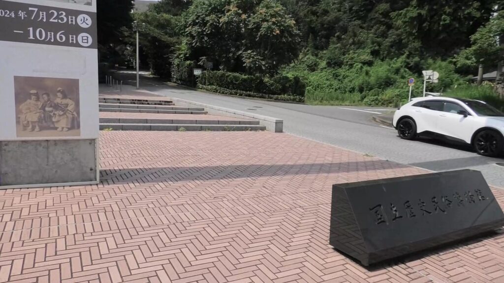
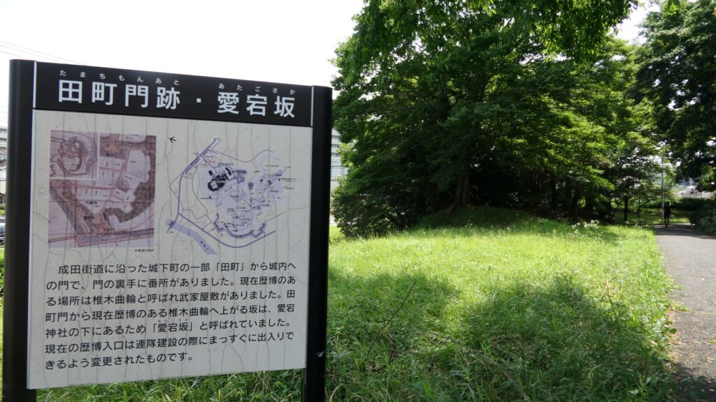
The Atago slope
The ruins of Tamachi-mon Gate
The miniature model of Shinoki Enclosure when it was used as the barracks for the Japanese Imperial Aemy, exhibited by the National Museum of Japanese History

The floor space of the museum is about 35,000 square meters big. It exhibits the Japanese histories by classifying 5 different periods. If you want to look through all of them, you may have to spend all day long. It may be better to split up your visits to fully see everything.
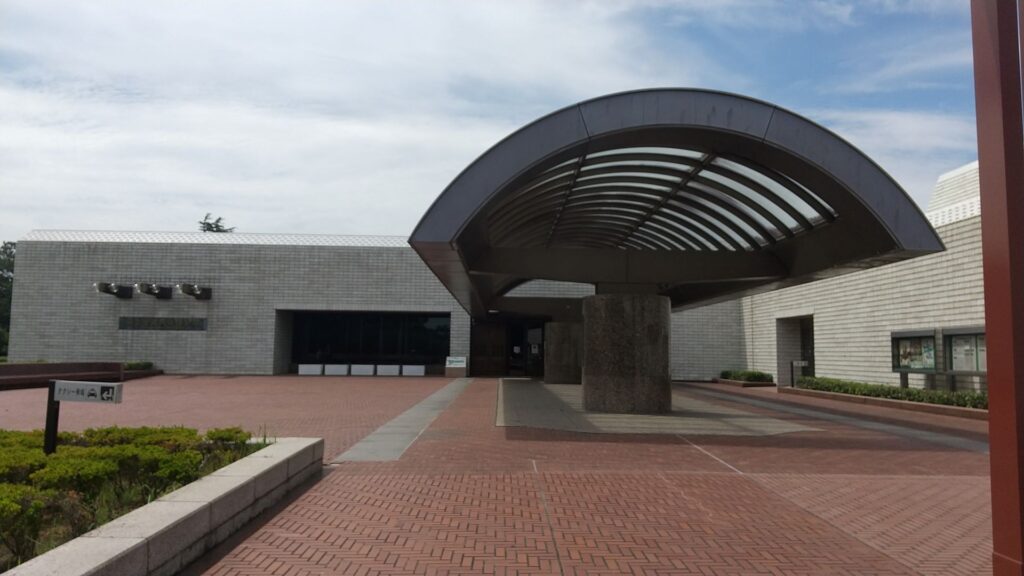
The entrance of the National Museum of Japanese History
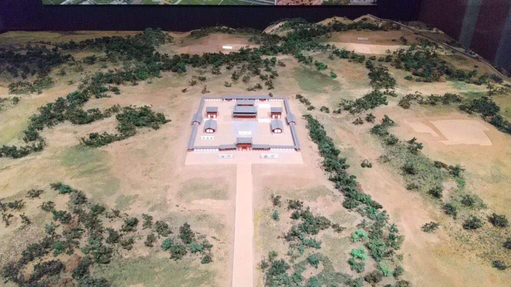
The miniature model of Taga Castle, an ancient castle in the Tohoku Region, exhibited by the National Museum of Japanese History
The miniature model of the hall of the Asakura Clan in Ichijodani Castle, exhibited by the National Museum of Japanese History

Going back to the attractions of the castle, the Umadashi system has been restored near the museum. The system was a fortified square position in front of Shinoki Gate, which was surrounded by dry moats. The long side of the square is 121m long and the short side is 40m long, same as the original. The dry moats were originally 5.6m in depth but is only 3m in depth probably for safety reasons. The system is only connected by a narrow path to the gate. It was once filled by the Japanese Imperial Army before its restoration.
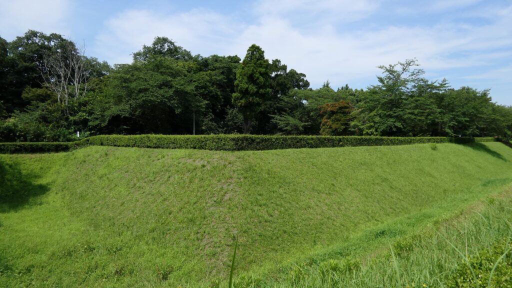
The Umadashi system in front of the Shinoki Gate Ruins

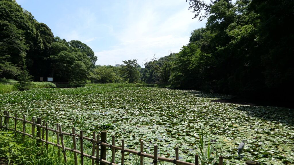
The Shinoki Gate Ruins have no buildings now, and its inside is the third enclosure. So, you can visit the second and main enclosures again. However, let us go to another place by walking down from the plateau again. It is a pond, called Uba-ga-ike, which means “The Pond of a Nursing Mother”. The name comes from a sad and unfortunate story. It says that one day, a nursing mother took the daughter of a senior vassal to the pond. However, she didn’t keep her eyes on the daughter, which lead to the daughter drowning in the pond She felt very sad and guilty about it, so, she decided to throw herself into the pond as well. For the castle, this pond divided the main gate and the back gate sides to force the defenders protect the castle quickly. It also became famous for Japanese iris and croaking sounds of frogs during the peaceful Edo Period.
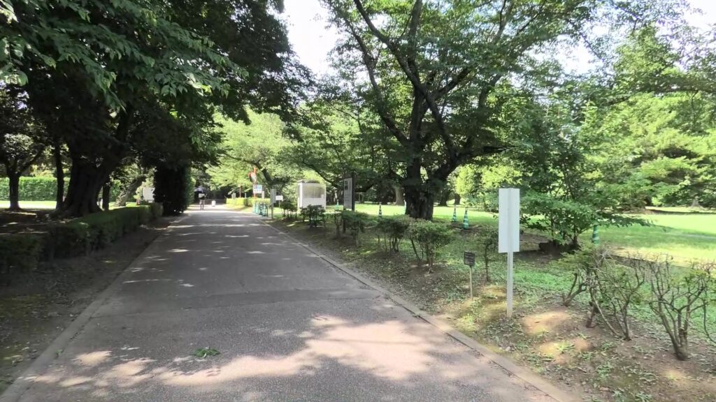
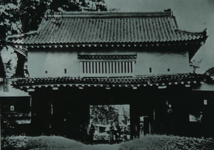
The ruins of Shinoki Gate
The old photo of the gate, from the signboard at the site
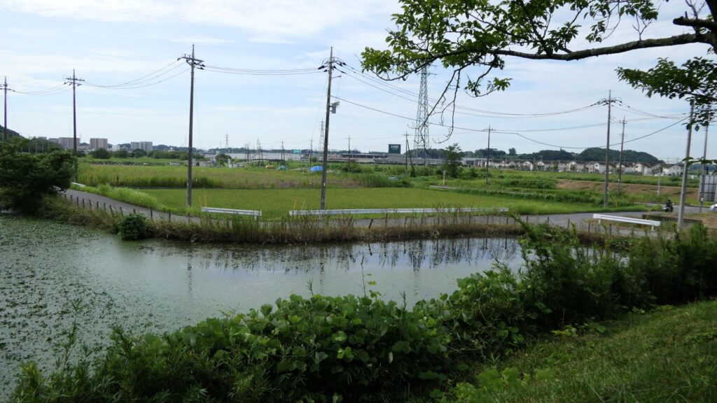
The Uba-ga-ike Pond, Since the pond is covered in lotus leaves, it’s hard to see how deep it truly is

You can go back from the pond to the main gate ruins by passing through a path which was another dry moat. The path has a fork which still looks like the dry moat. If you go straight, you will eventually reach the entrance of the park near the gate ruins.
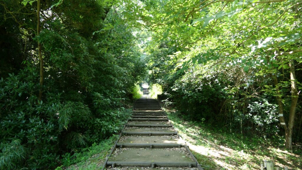
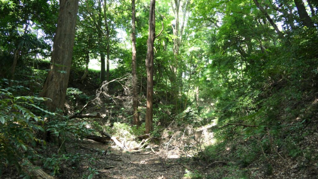
The former dry moat, which is used as the path, the fork on the right, which is the dry moat today, the fork on the left which leads to the main entrance
The fork on the right remains as a dry moat

Visiting Samurai Residences and Sakura Juntendo Memorial Building

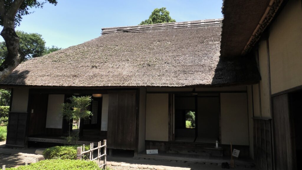
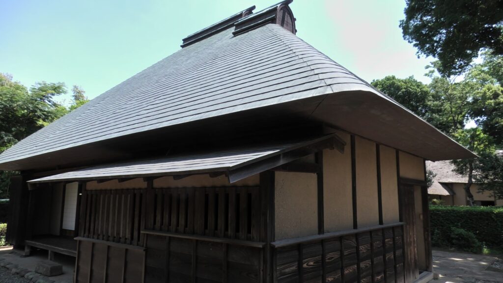
Atter visiting the castle ruins, let us go to Sakura Samurai Residences. The residence area is in Miyakoji of Sakura City, which originally had middle-class warriors’ residences. However, the current area exhibits three different residences: one of the remaining one for middle class warriors, another one form high-class warriors and finally, the other one form low-class warriors. The last two residential areas were moved from other areas, making it accessible to the public for viewing.
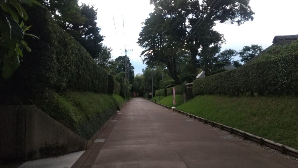
Sakura Samurai Residences Street, Notice the samurai residential homes on the right

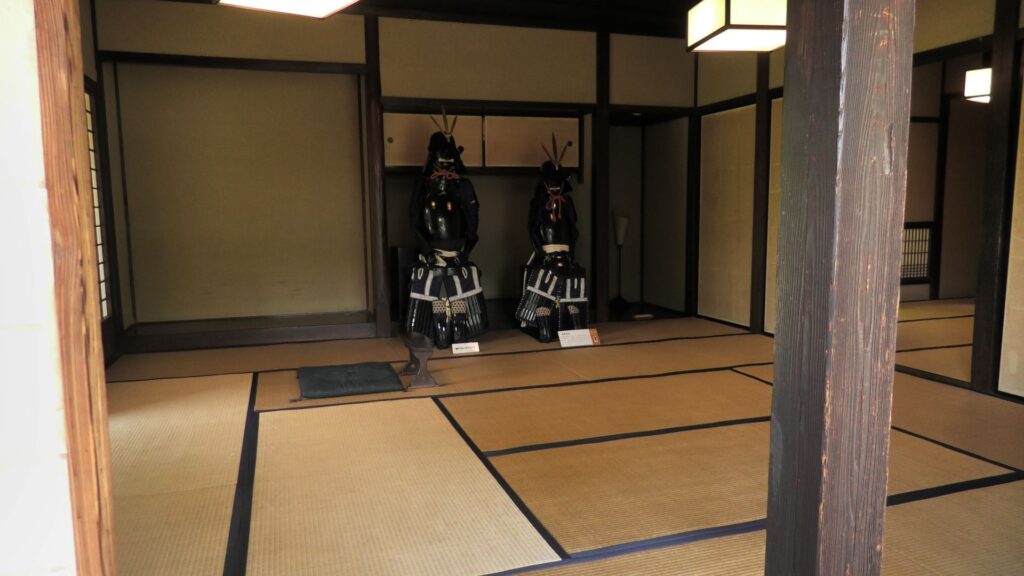
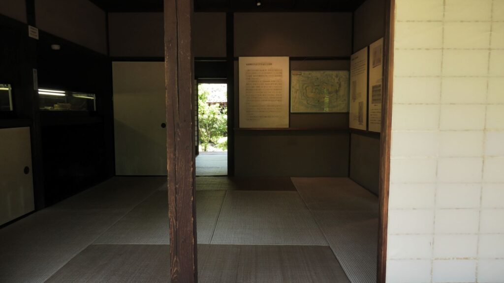
These residences were owned and maintained by the Sakura Domain like official residences. They were made differently by each warrior’s class. That was because of the class system as well as the budgetary restrictions of the domain. For example, the entrance of the high-class residence looks high in quality, but the others are simpler. The walls of the high class’s one used white plasters, while the others only used brown mud walls. The high and middle class’s ones used fine Tatami mats in their rooms, however the low class can only use simple mats without the edge decorations.
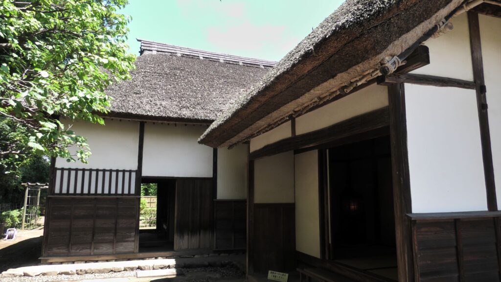
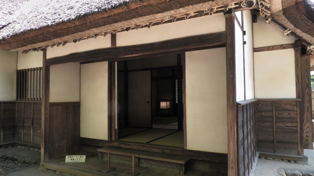
The high-class residence
Its entrance is fine
The middle-class residence
Its living room is fine
The low-class residence (its roof has been replaced with a modern style)
Its living room is simple

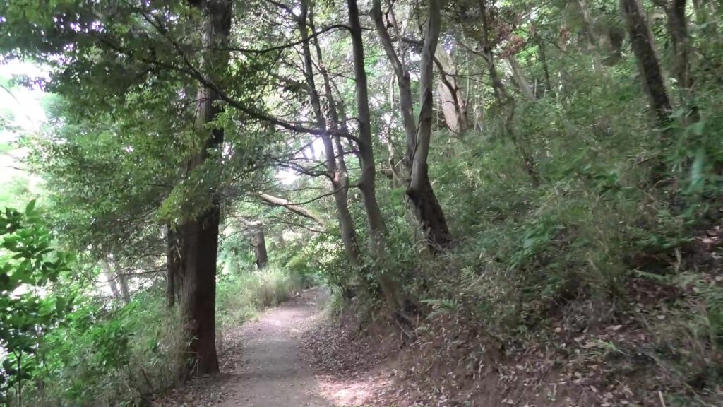
You should also try to walk along Hiyodori-zaka Slope near the residences, which was the commuting route to the castle. The route goes down on a trail, surrounded by bamboo trees, which looks exactly same as it used to.
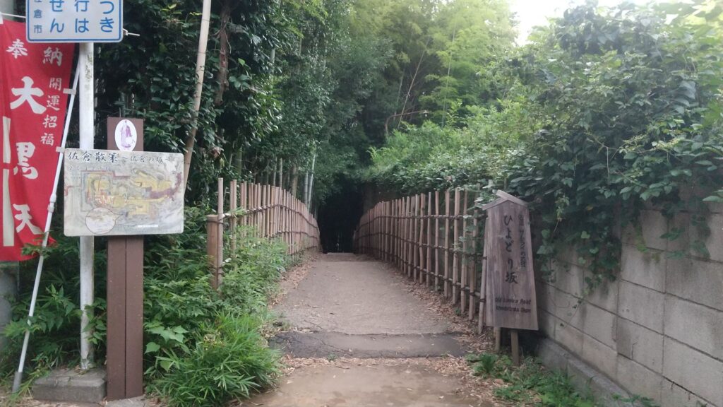
The Hiyodori-zaka Slope

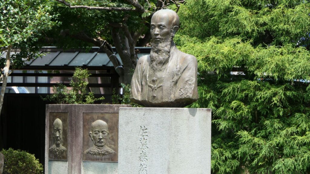
We will finally go to Sakura Juntendo Memorial Building. It was originally built by Taizen Sato as his Rangaku (Dutch studies) school and clinic. Part of it opens to the public as a museum. The museum is about 2km away from the main gate ruins of the castle and was at the edge of the castle town. This is probably because Taizen was not an official doctor of the domain. A guide of the museum suggested to me another speculation. Taizen’s father was an agent in lawsuits who was against the policies of Tadakuni Mizuno, the top of the government. Therefore, Taizen might have had difficulties in his work in Edo City. He might also have been accommodated by Masayoshi Hotta. If it’s true, Sakura Juntendo was also like a place of refuge.
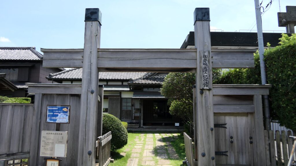
Sakura Juntendo Memorial Building
The statue of Taizen Sato

One of the exhibitions of the museum is the miniature model of the original buildings. You can see the buildings were so large. It is said that over one thousand students were there in total.
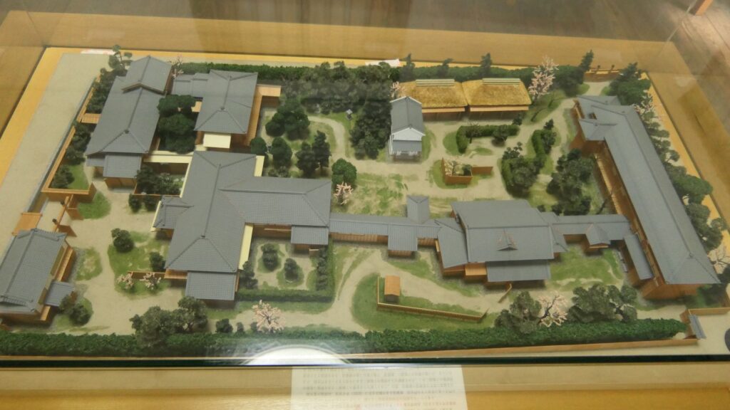
The miniature model of the original buildings

Another interesting exhibition is the original medical board which is hung on the top of the wall. The clinic mainly offered surgeries. However, the doctors didn’t use anesthesia because it was still dangerous at that time. Therefore, patients endured the pain because they wanted to get well after that.
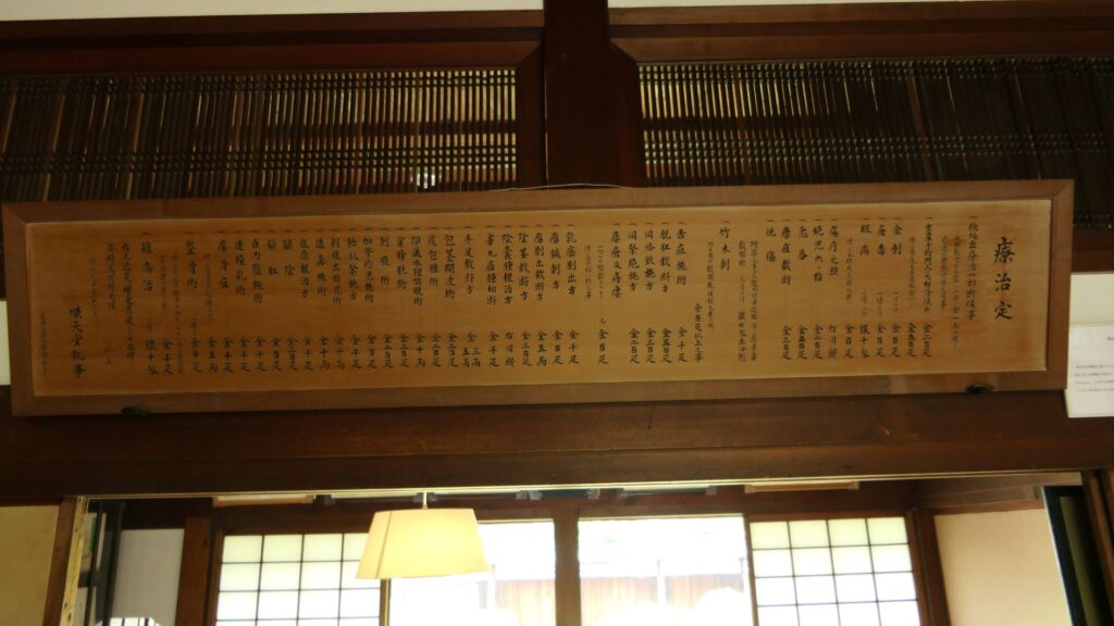
The original medical menu, Notice the price of each procedures on the bottom of the medical board

The clinic is the origin of Juntendo University in Tokyo, one of Taizen’s successors who founded it. However, there is still the current Sakura Juntendo Clinic next to the museum. The spirits of Sakura are alive.
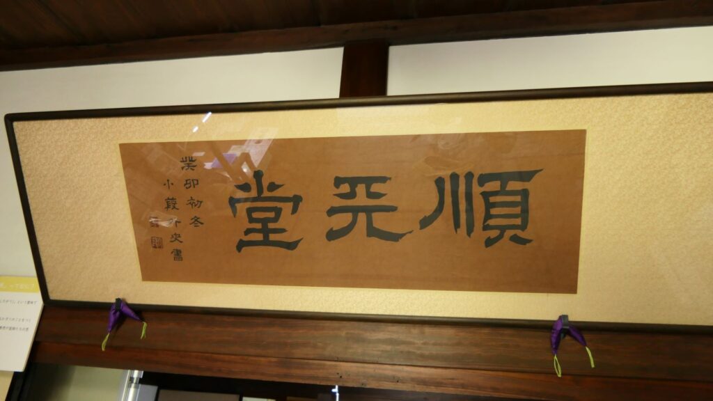
The plaque of Juntendo, It’s written in Chinese Characters (Kanji)

My Impression

Honestly, at first, I thought the castle park looked like a natural park. However, the more I looked around, the more my impressions changed. Currently it’s trendy for cities to revive castles across Japan. I think Sakura City does not need to ride the boom. This is because the city has already preserved the land of the castle as the park. The city can take enough time and be patient when developing it further. The important thing is preserving it as accurate as possible. In addition, you can still enjoy the castle ruins even without its visible buildings. So I highly recmmend you visit Sakura Catle in the future!

That’s all. Thank you.

Back to “Sakura Castle Part1”

74.Iwakuni Castle Part2

Let us try to look into more of the castle.

Later History

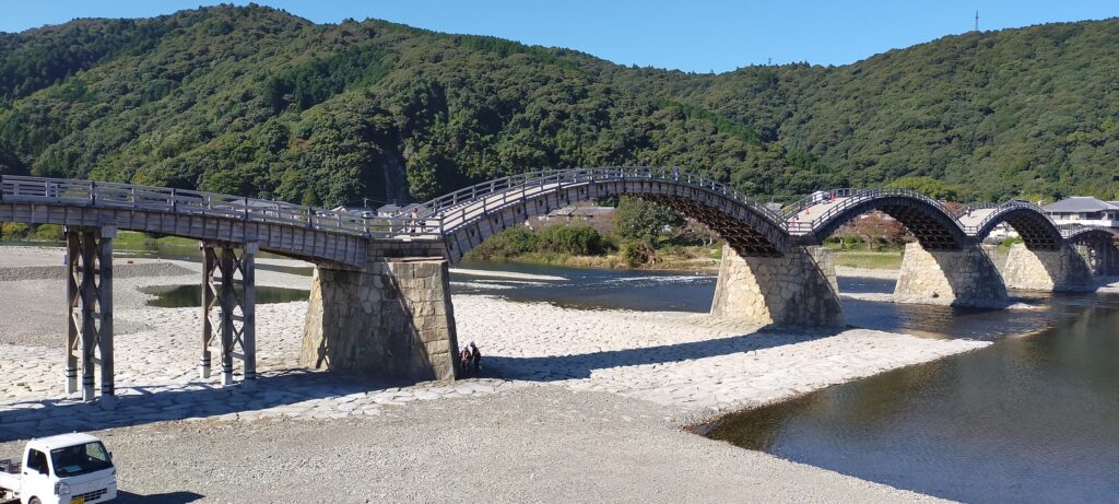
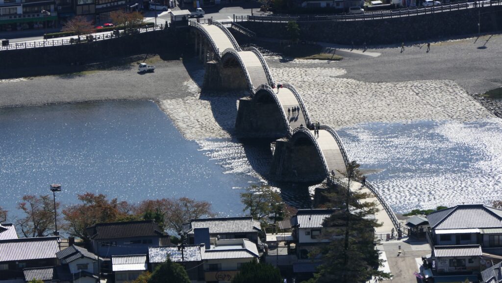
After the Meiji Restoration, the residence at the foot of the mountain was turned into the Kikko Park in 1885. Kintaikyo Bridge survived for 277 years, however it was flown out because of the flood caused by Kezia Typhoon in 1950. People in Iwakuni City restored the bridge in the original method in 1953. It was rebuilt again in 2004 due to deterioration. That’s why it still looks new. It has been designated as a National Scenic Spot since 1922.

The present Kintaikyo bridge

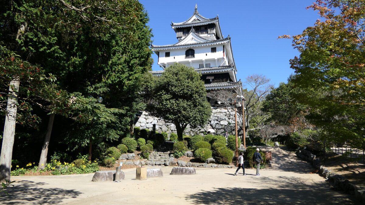
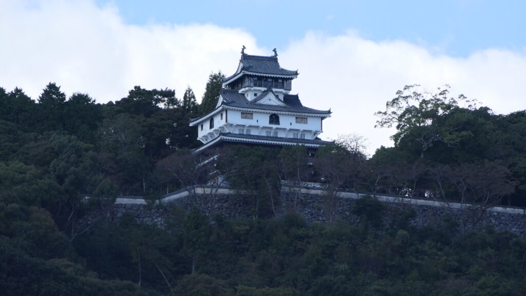
As for Iwakuni Castle, the Main Tower on the mountain was rebuilt in 1963, but its position was moved by about 50m from the original in ordered to be more well seen from the foot with the bridge. The cable car between the foot and the top also opened in 1964 which has been boosting tourism.

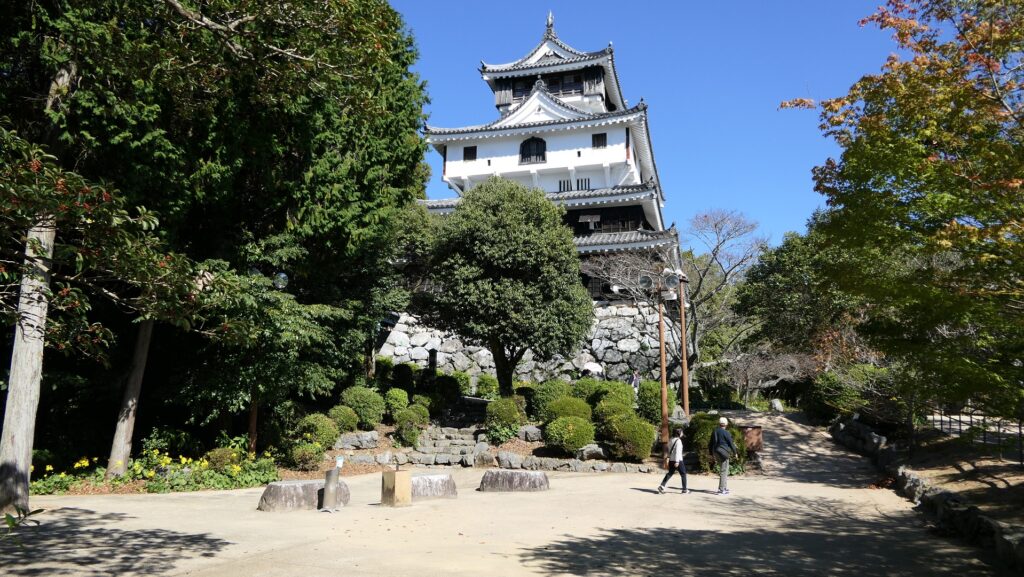
The present Main Tower of Iwakuni Castle which can be seen from the foot

Features

From Kintaikyo Bridge to Rebuilt Main Tower

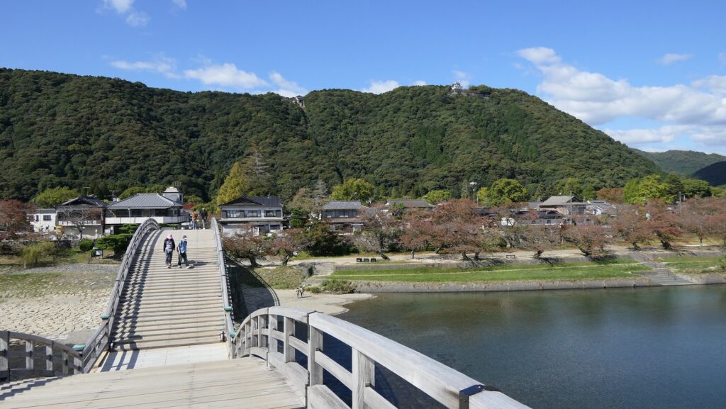
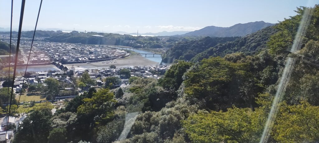
For visitors who visit the area around Iwakuni Castle site today, the castle itself might not be popular for them. They probably want to see and walk across Kintaikyo Bridge first. They can also ride a cable car to the top of the mountain to enjoy the great view of the area including the bridge. Visiting the rebuilt Main Tower may be their third option because they can get a better view of the bridge from the foot. However, if you try to look into more of the castle, you can find new perspectives of it.

Walking across Kintaikyo bridge
A view from the cable car window
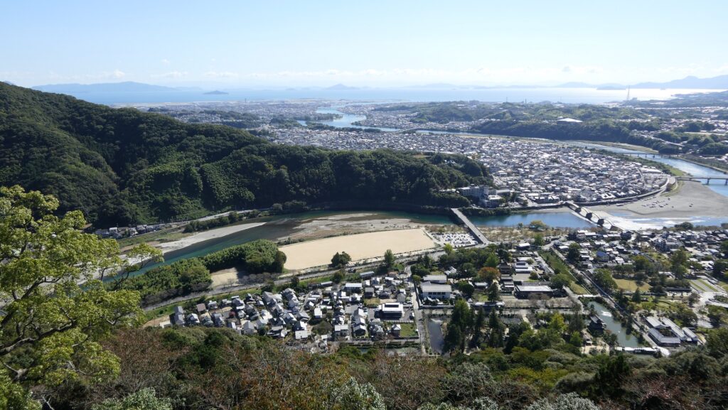
A view of Kintaikyo bridge from the top of the mountain

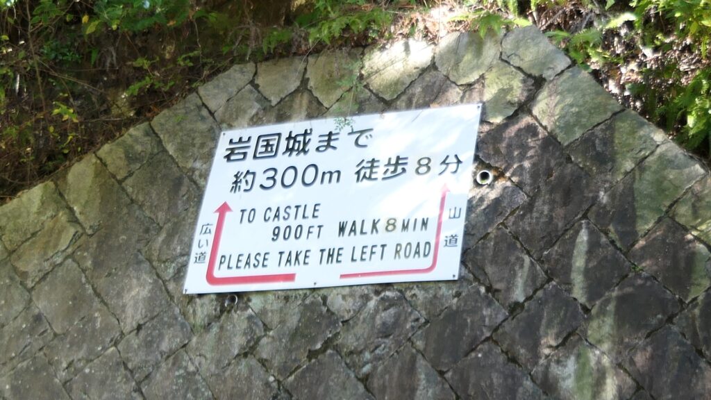
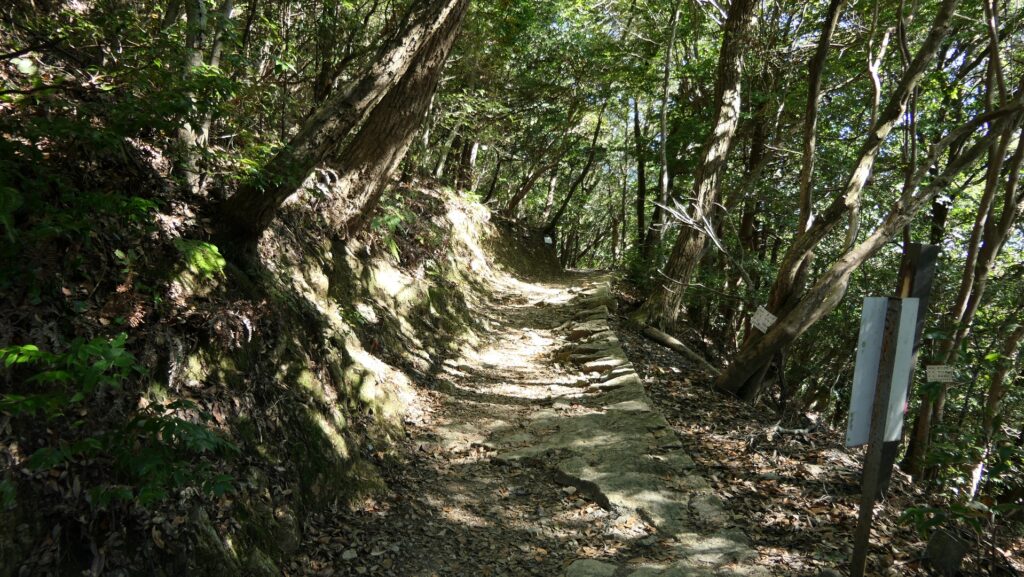
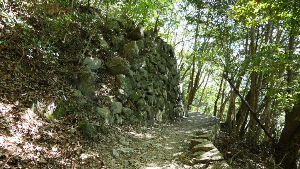
After arriving at the platform of the cable car, you will find the guide plate of the two routes to the castle. The guide plate recommends taking the left road, but I suggest taking the right road. This is because the path on the right leads you the front side of the castle. You will see the edge of the remaining stone walls with triangular stones on the right side of the trail. You can also see the great stone walls of the Second Enclosure on the left. As you go further, the Barbican Enclosure overhangs in front of you. It has a defensive square space called Masugata inside which was the Main Gate of the castle. The inside of the Gate Ruins is the Second Enclosure which is used as a modern rock garden, modified in the present time.
The map around the castle

The guide plate recommends the left wide road
Choosing the right trail this time
The stone walls below the Second Enclosure
The stone walls of the Barbican Enclosure overhangs
Looking up the stone walls
The ruins of the Main Gate
The inside of the Second Enclosure

Rebuilt Main Tower and Original Main Tower Base

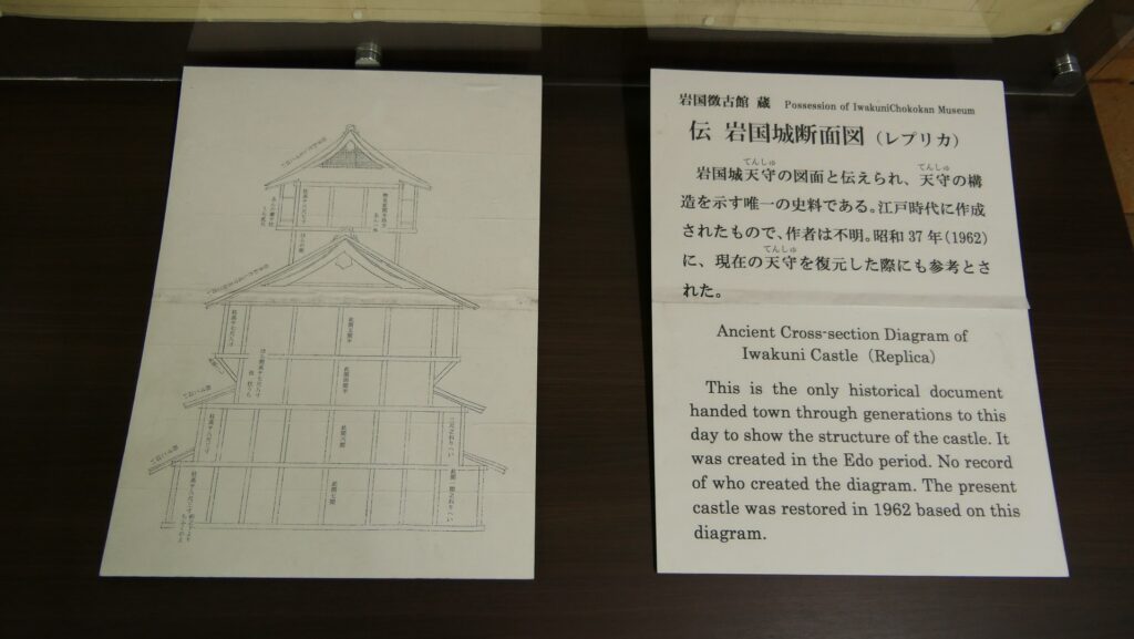
The Main Enclosure is next to the Second Enclosure in the north. The restored Main Tower stands out in front of you. The tower probably has a similar appearance to the original one because its designer used the cross section drawing which was said to come from the original. It has four levels with the third one of which hanging out. This type of Main Towers was rare, called Nanban-zukuri or the Western Style. The tower is actually a modern building which is used as a historical museum and an observation platform. The original stone wall base for the Main Tower was also restored in the original position according to the excavation.
The Main Enclosure including the rebuilt Main Tower seen from the Second Enclosure
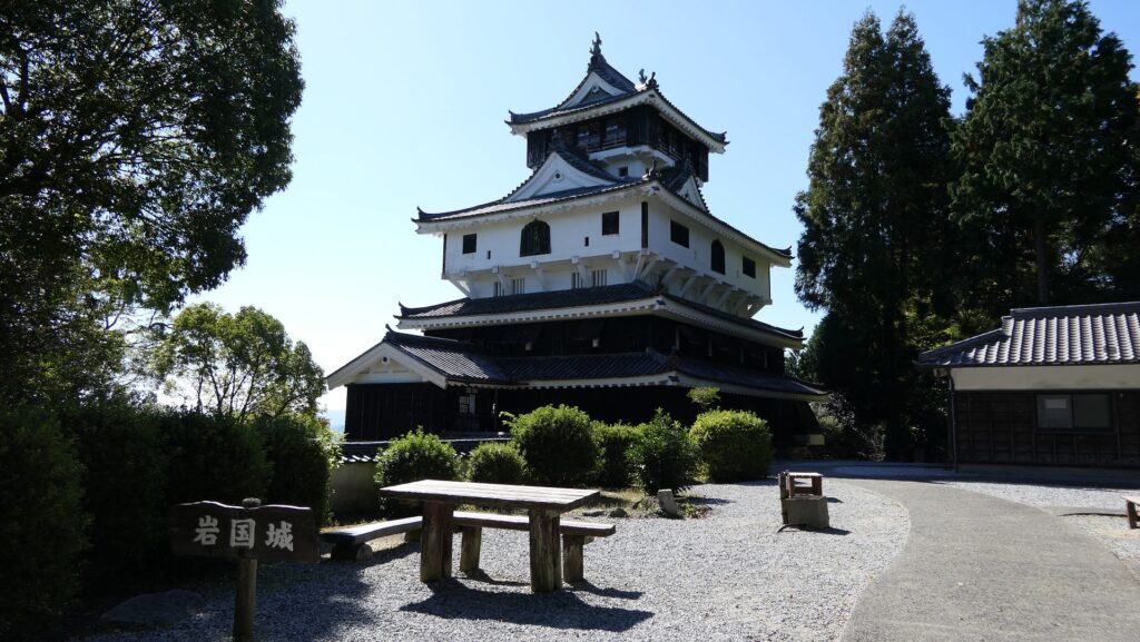
A rare Western Style Main Tower
The explanation about the cross section drawing of the Main Tower, exhibited by Iwakuni Castle
A view from the observation platform
The restored original Main Tower base

To be continued in “Iwakuni Castle Part3”
Back to “Iwakuni Castle Part1”

170.Hamada Castle Part2

Introductions for both casual visitors and serious history fans

Later History

After the Meiji Restoration, Hamada Castle Ruins had a little complicated history. The Japanese Army at first owned the ruins but they remained idle, while the remaining Main Tower collapsed due to the Hamada Earthquake in 1872. No buildings survived. After the ruins were sold to the former lord, Matsudaira Clan in 1890, Shimane Prefecture turned them into the Hamada Park in 1903. The route to the Main Enclosure on the top was developed, on the other hand, some stone walls were destroyed for the construction. In 1938, Hamada-Gokoku Shrine was established at the mid slope of the hill. Its approach from the foot was developed.

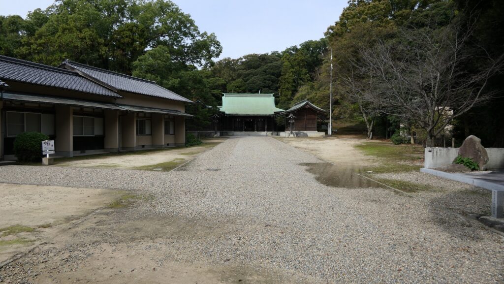
Hamada-Gokoku Shrine

After World War II, Hamada City, which bought the ruins, planned to improve the park as well as a working area for people. Another route from the foot was developed and some stone walls were repaired by the work. The stone walls had been left after the fire at the end of the Edo Period. However, it was pointed out that their original condition was not considered in the repair. As a result, the ruins were designated as a Prefectural Historic Site of Shimane Prefecture in 1962.

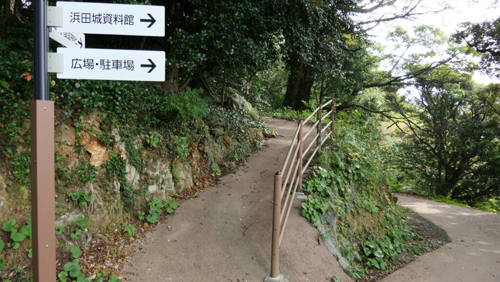
The route to the ruins, which was developed after World War II

Features for General Visitors

Going to Castle Ruins through Hamada-Gokoku Shrine

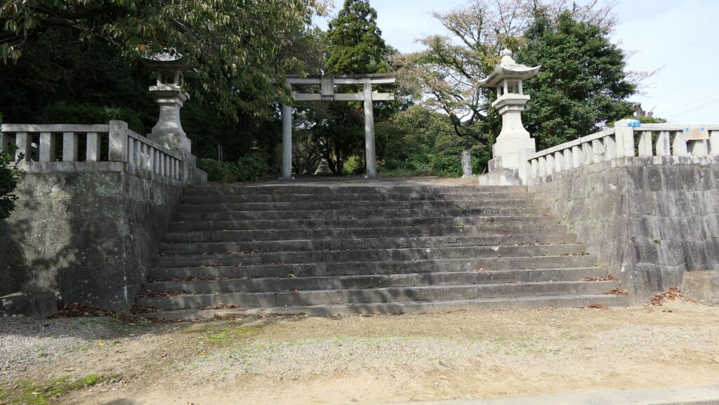
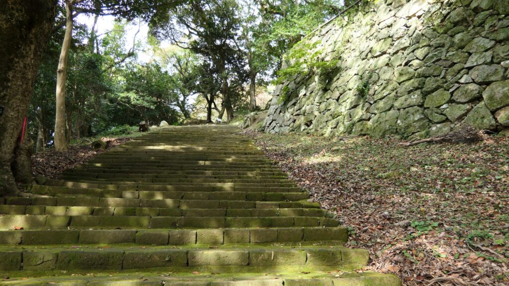
Today, there are two routes to the ruins of Hamada Castle, houever they are not the original. If you choose the approach to Hamada-Gokoku Shrine as the route, it goes straight to the shrine at the mid slope with stone steps. You can look down Nakanomon Gate Ruins to the right of the way. In fact, the gate was on the original route.

The map around the casltle

The entrance of the approach to Hamada-Gokoku Shrine
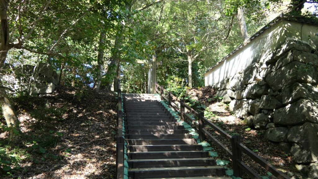
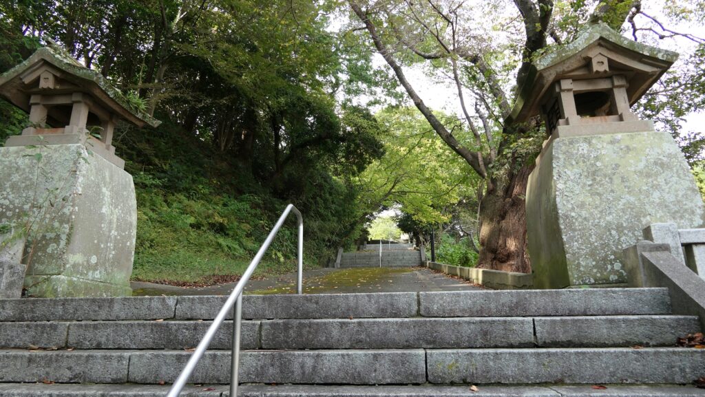
The approach to Hamada-Gokoku Shrine
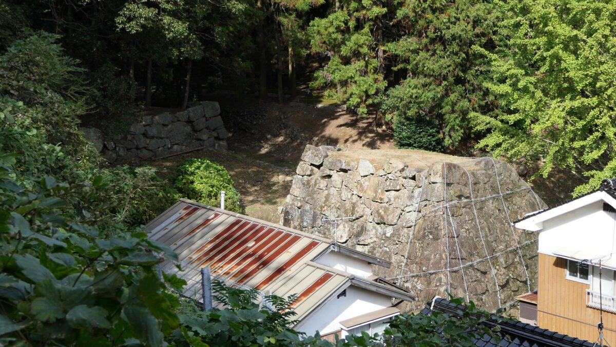
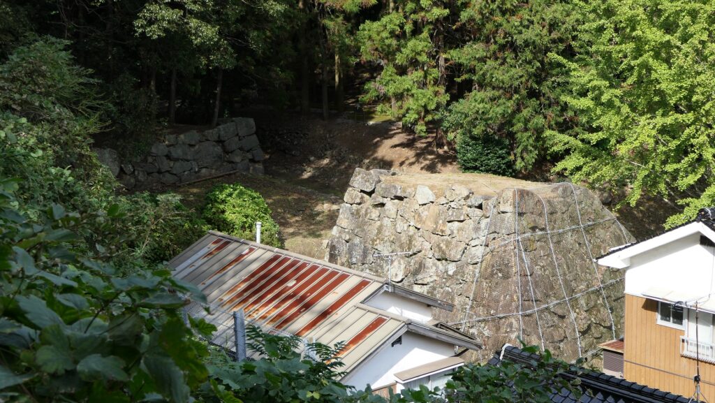
The ruins of Nakanomon Gate seen from the approach

Gate moved from Tsuwano Castle

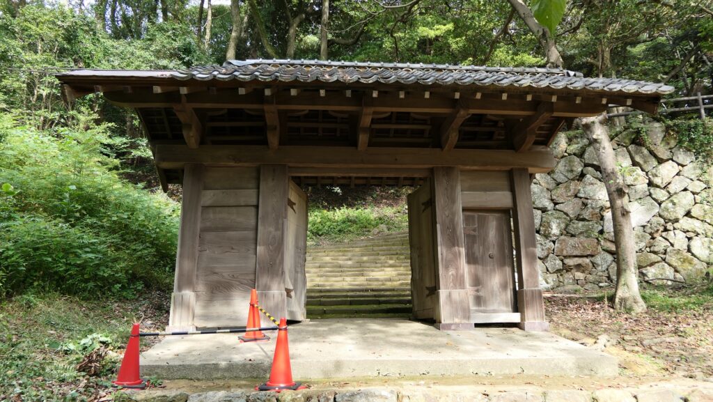
In the back of the shrine, you will see an old building which looks like a castle gate. However, it is also not original to this castle. When this city was part of the Hamada Prefectural Capital (Hamada Prefecture was later unified with Shimane Prefecture), they moved one of the gates of Tsuwano Castle for its office. The gate was finally moved to the current position in 1967 made as a park attraction.

Going to the back of the shrine
The former Tsuwano Castle Gate
The photo of the gate when it was used for the office

Going to Main Enclosure through Route developed in Meiji Era

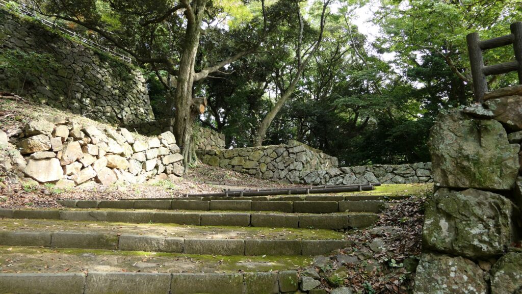
You will enter the center of the ruins from the gate, the route becomes likely the original one surrounded by stone walls, but once you turn left, you will see another straight route to the Main Enclosure on the top. Such a layout was hard to believe for a castle because it would have been easier for enemies to attack it. In fact, this route was also developed for the park during the Meiji Era by breaking the stone walls of the Barbican Enclosure beside the Main Enclosure. That’s why visitors have easy access at the top.

Going the center of the ruins
The route becomes straight again
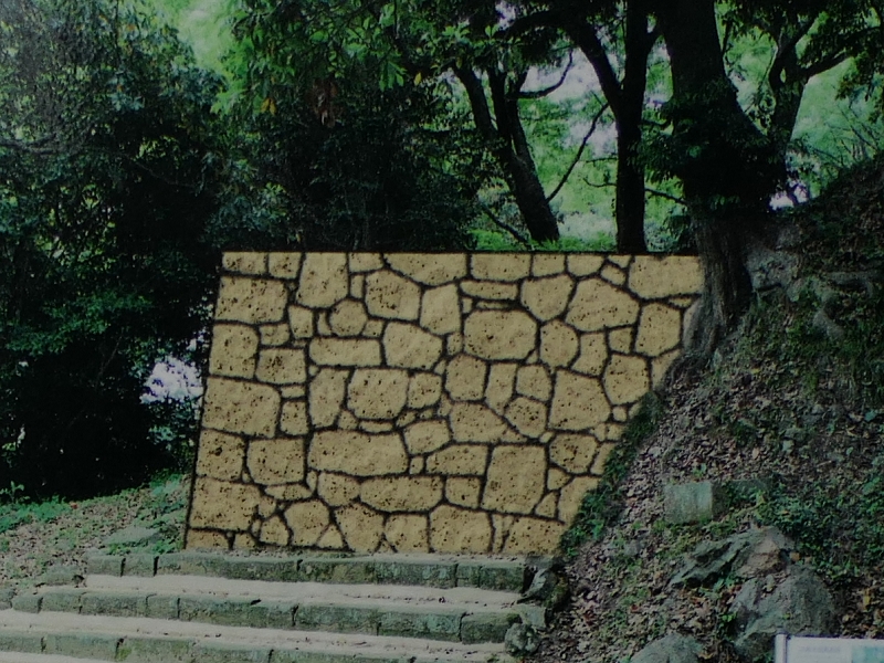
The image of the original stone walls of the Barbican Enclosure, from the signboard at the site
Part of “the illustration of Hamada Castle Stone Walls”, from the signboard at the site, adding the red arrow as the current route and the red circles as the broken stone walls

Main Enclosure becomes Park Square

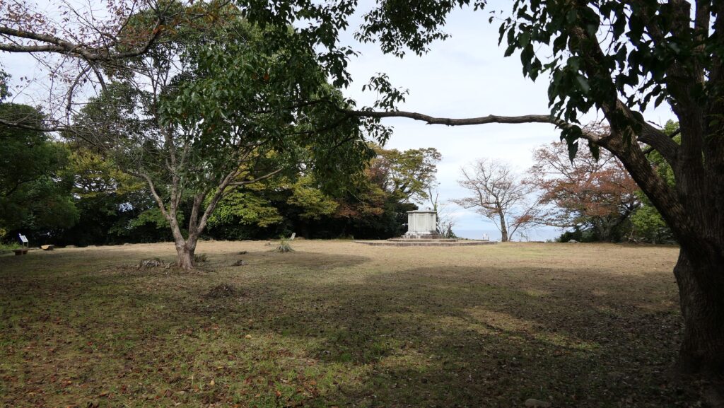
The inside of the Main Enclosure is a square now where you can see views such as the Hamada city area and Tonoura Cove. You can also see some remaining stone walls around and the rest seemed to have collapsed due to the earthquake back in 1872.

The inside of the Main Enclosure
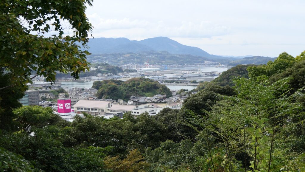
The Hamada city area seen from the Main Enclosure
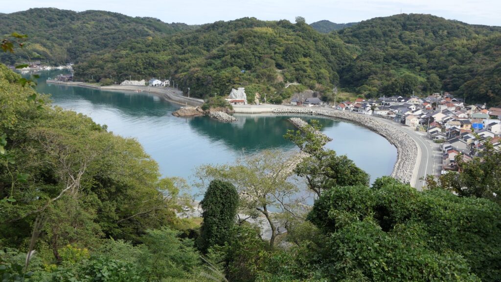
Tonoura Cove seen from the Main Enclosure
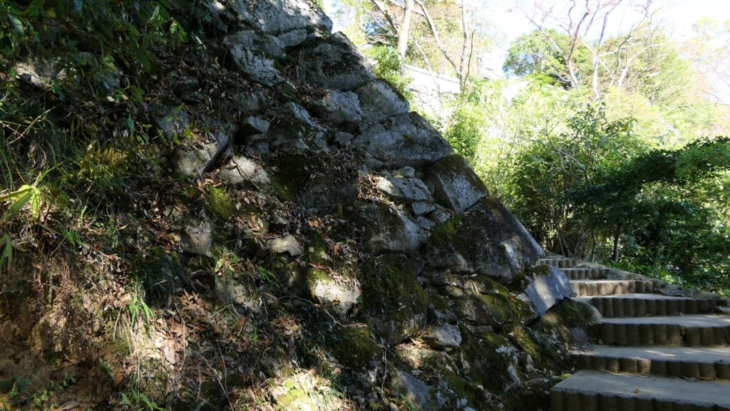
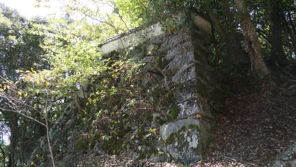
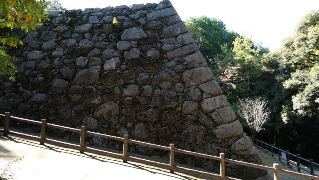
The partially remaining stone walls of the Main Enclosure

To be continued in “Hamada Castle Part3”
Back to “Hamada Castle Part1”